|
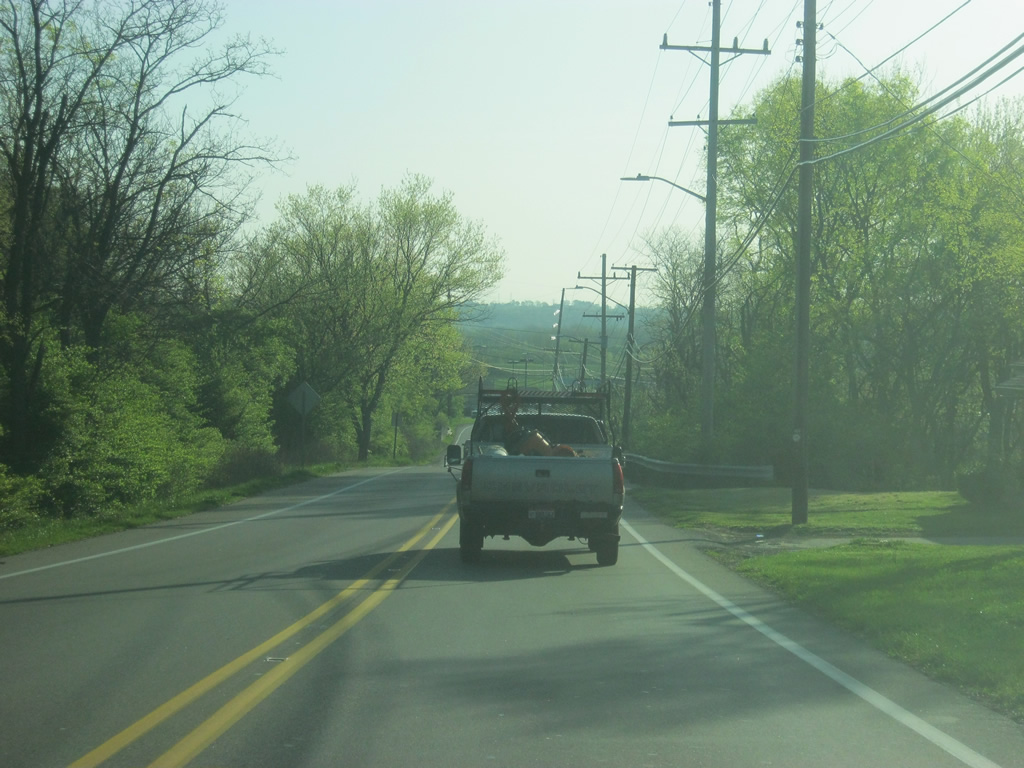
| The first road SR 1 passes by in Franklin County is Laurel Road, which winds its way to the west to the town of Laurel. 01/19/12 |
|
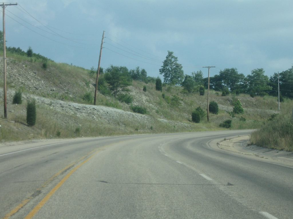
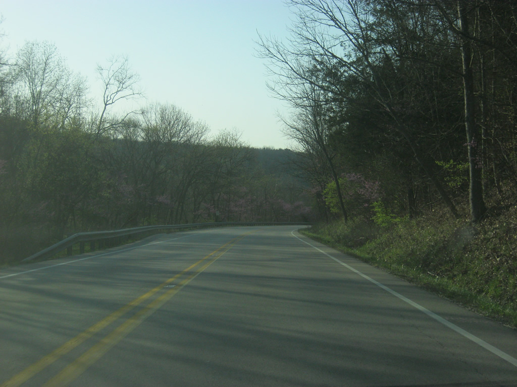
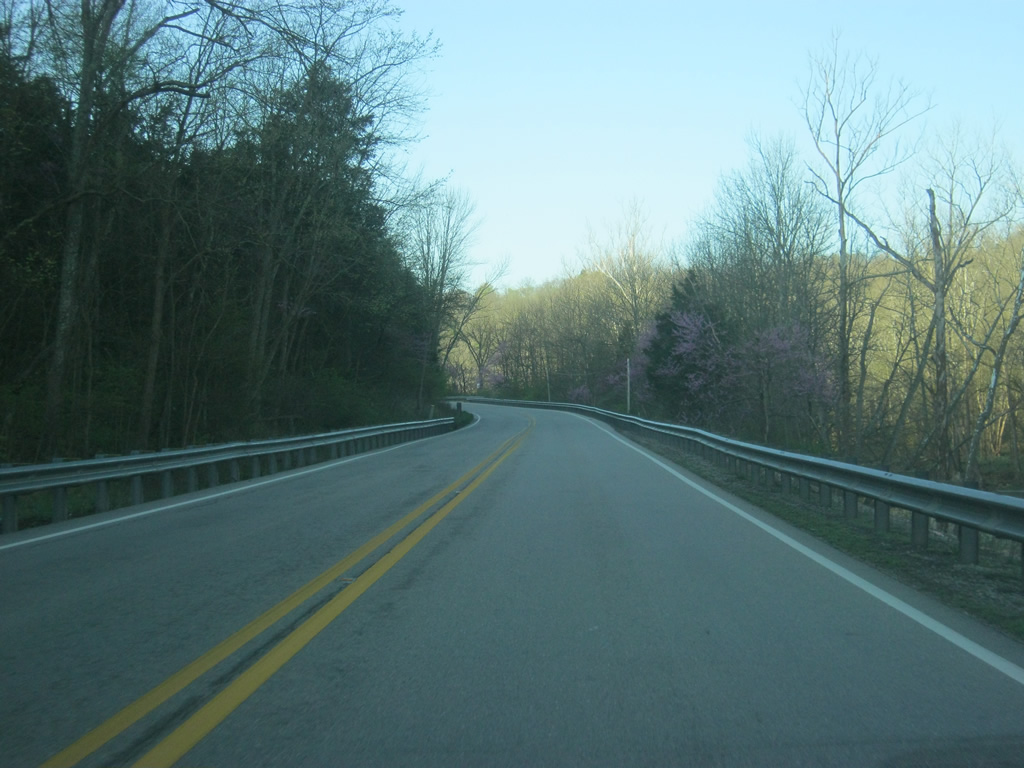
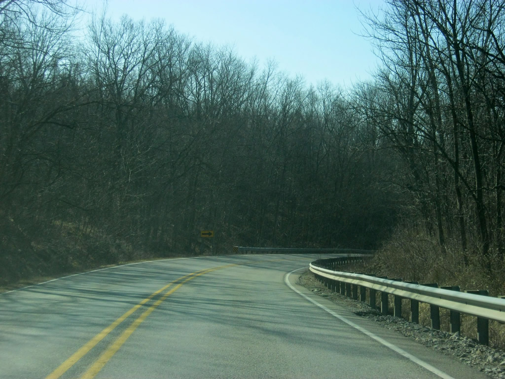
| SR 1 heads kinks back toward the southeast en route to the next town of Blooming Grove. 01/19/12 |
|
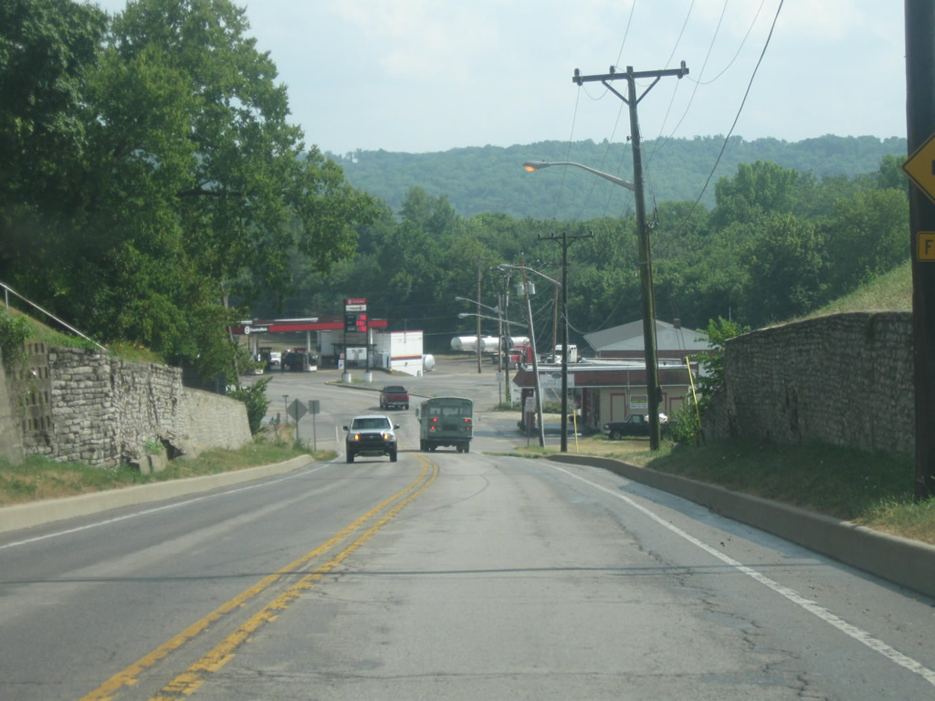
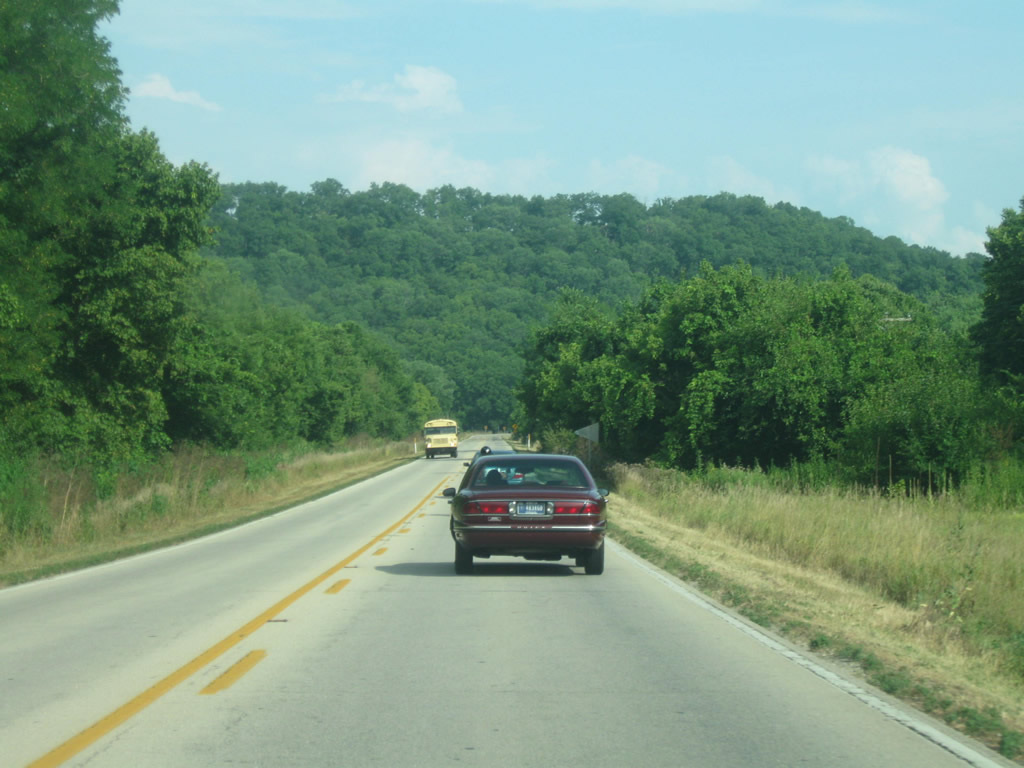
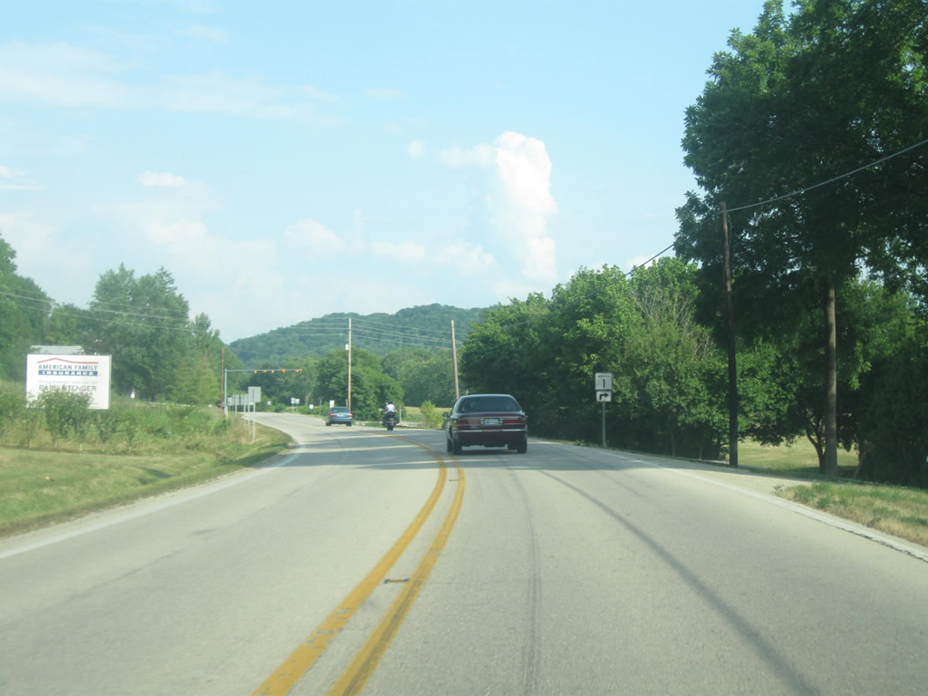
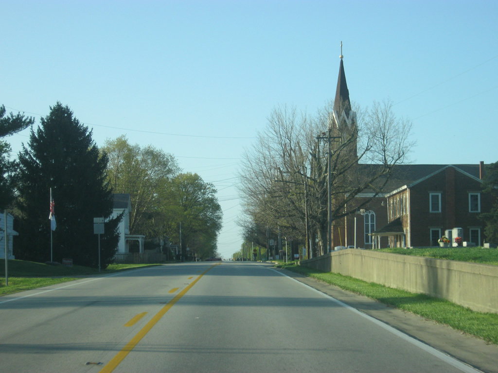
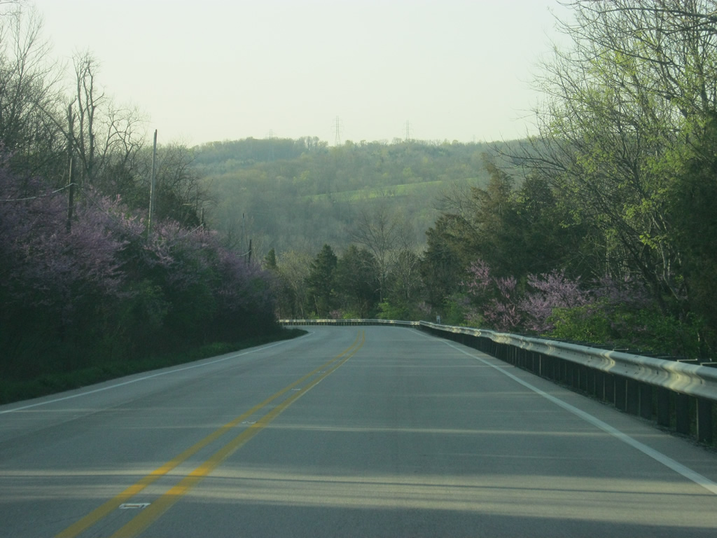
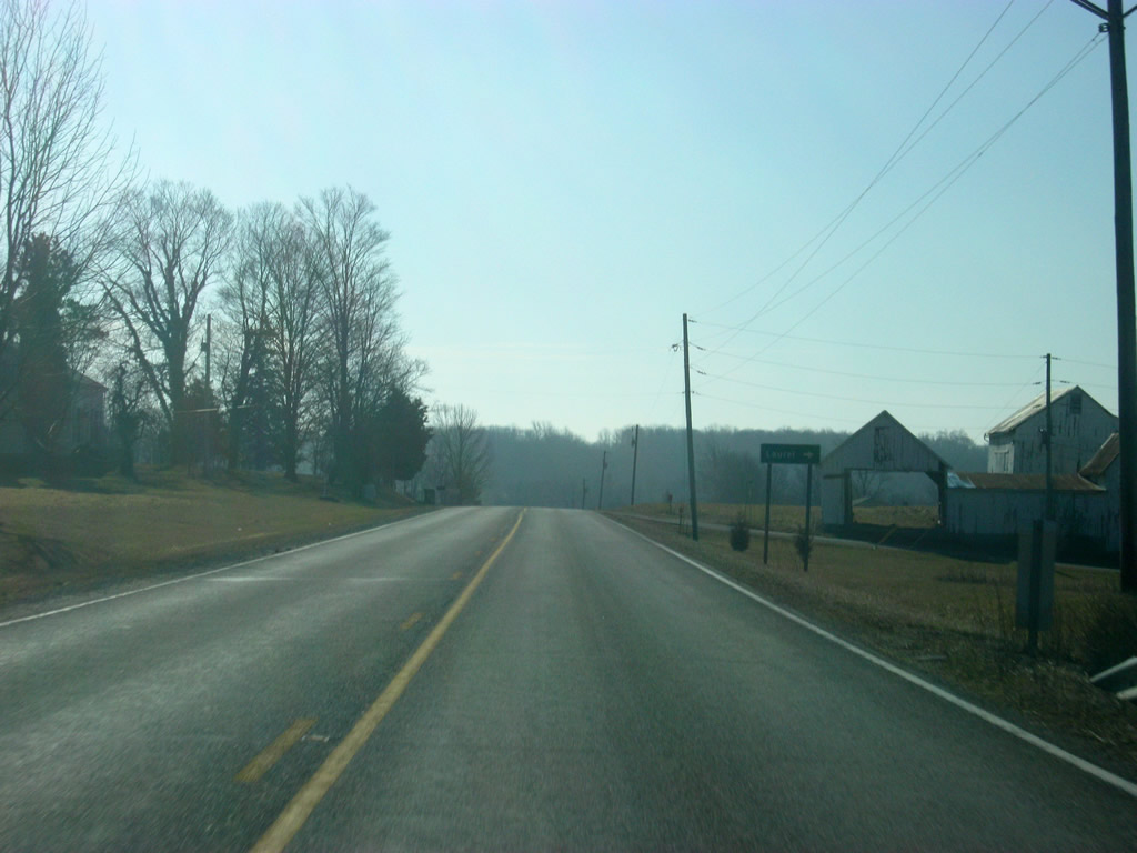
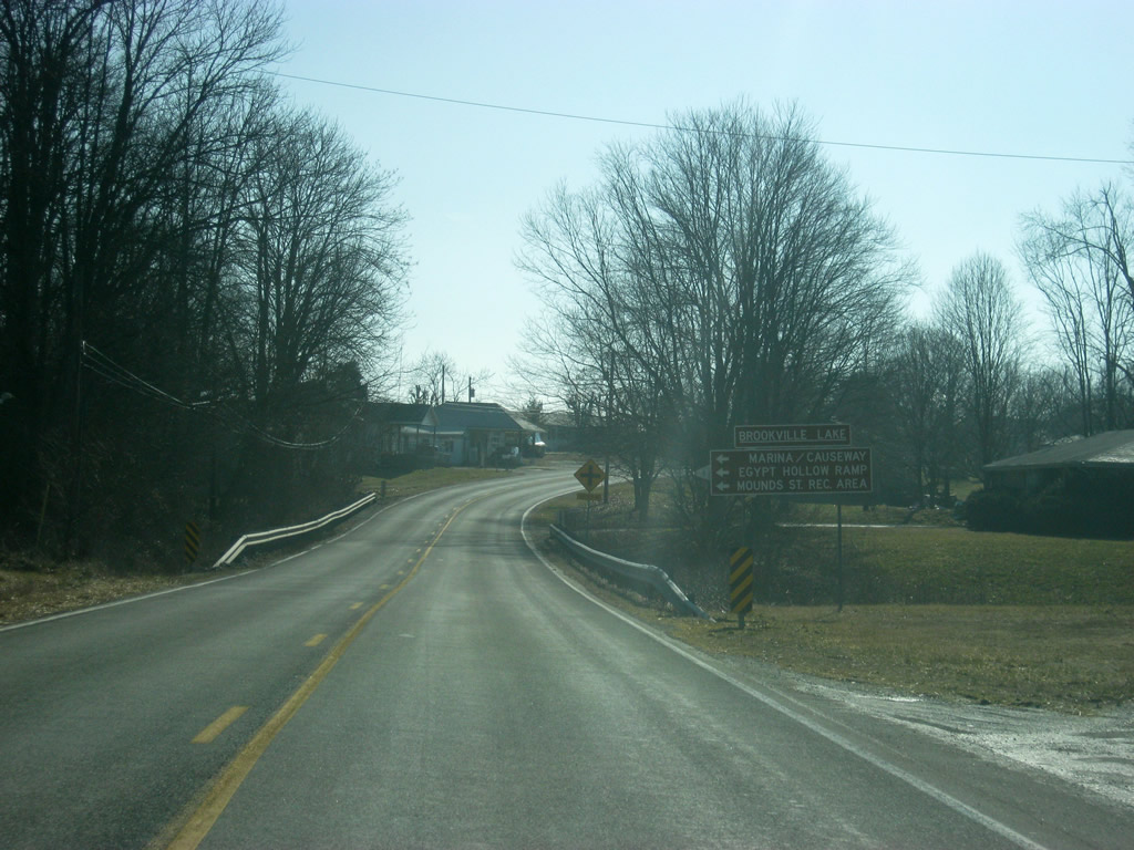
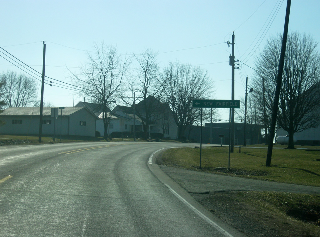
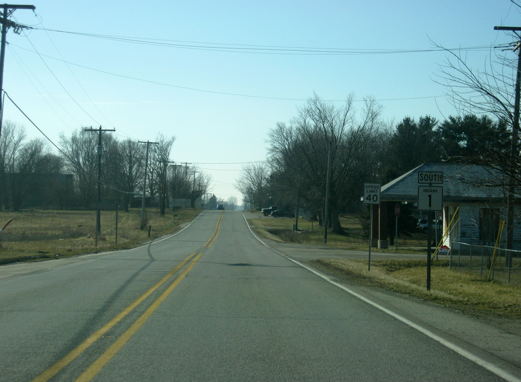
| In northern Franklin County, SR 1 enters the town of Blooming Grove. 01/19/12 |
|
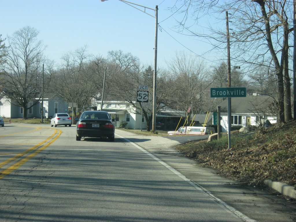
| In Blooming Grove, SR 1 intersects with Fairfield Causeway Road and Stone Church Road. While Stone Church Road heads west to Upper Jim's Road, Fairfield Causeway Road heads east to the town of New Fairfield and Brookville Lake, where it provides the only crossing in northern Franklin County over the reservoir. Fairfield Causeway Road also serves interests to the Mounds State Recreational Area. 01/19/12 |
|
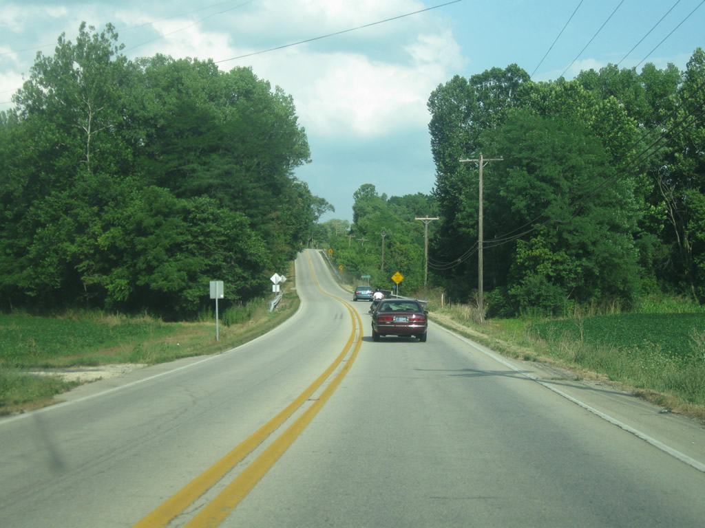
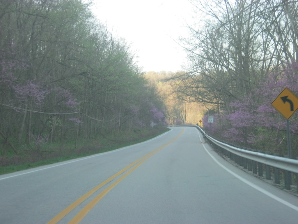
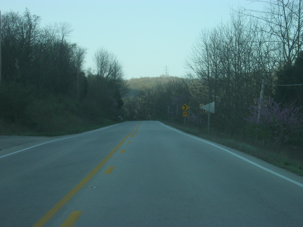
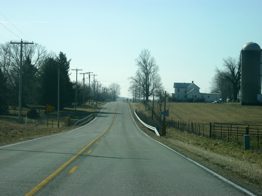
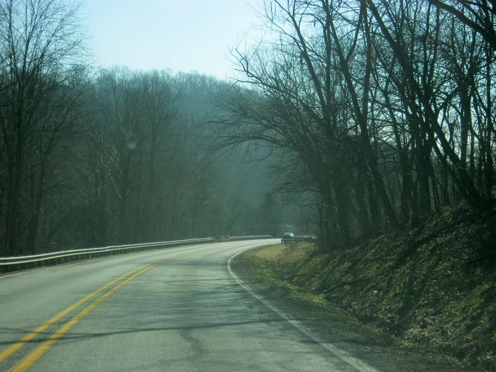
| South of Blooming Grove, it is six mile journey to the Franklin County seat of Brookville. The first four miles of SR 1's trek traverses more flat terrain. 01/19/12 |
|
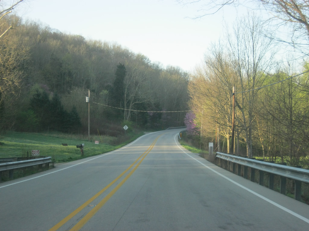
| SR 1 descends into the Whitewater River Valley, which contains Brookville. 01/19/12 |
|
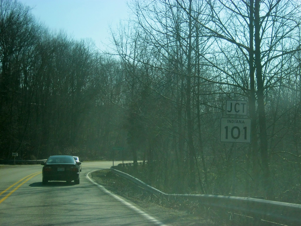
| Near the corporation limits into Brookville, SR 1 approaches the junction with SR 101. SR 101 exists in four segments across the far eastern tier of Indiana. The third segment from the south connects Brookville with Liberty for a 16.5 mile path. The northern segment exists in Adams, Allen and DeKalb Counties while the southern two segments exist in Ripley and Switzerland Counties. 01/19/12 |
|
| SR 1 multiplexes with SR 101 for a very short distance toward the south while SR 101 continues to the northeast en route to Liberty. 01/19/12 |
|
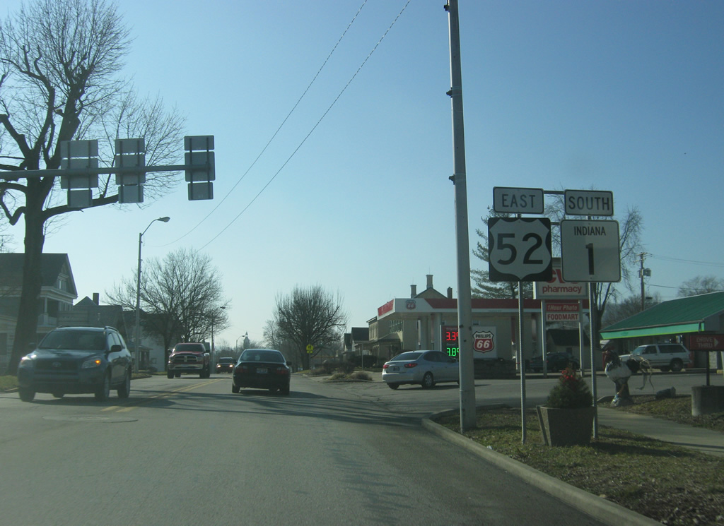
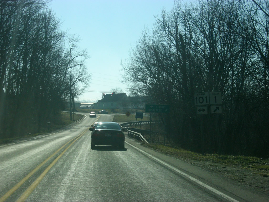
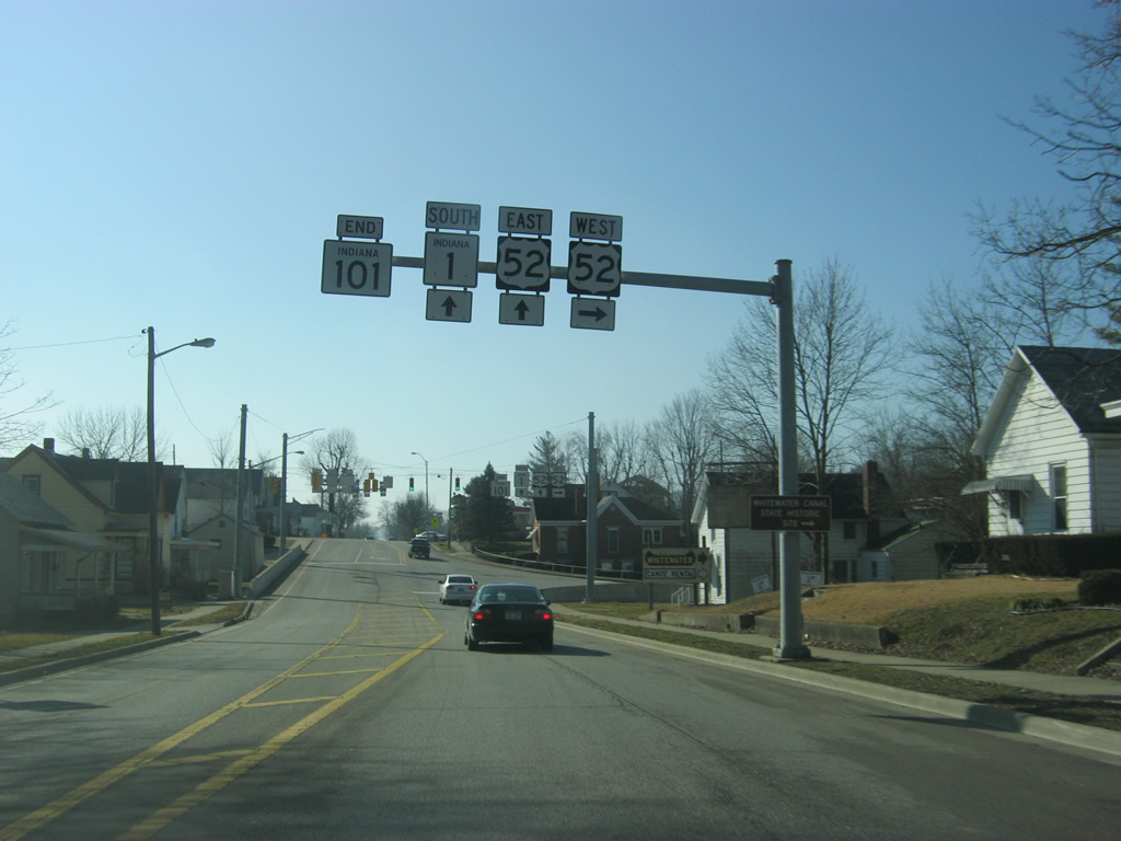
| SR 1 & 101 head south into the Franklin County seat of Brookville (population 2,625) as they approach the junction with U.S. 52. U.S. 52 goes for 2,072 miles from the Canadian border in Portal, North Dakota to the Atlantic Ocean in Charleston, South Carolina. 01/19/12 |
|
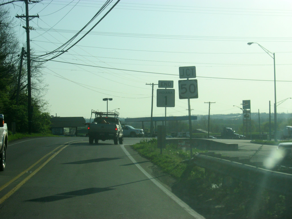
| SR 101 ends at the junction with SR 1 and U.S. 52 west. In Indiana U.S. 52 runs for 171 miles from west of Kentland, through Lafayette, Lebanon, Indianapolis, Rushville and Brookville before leaving along Interstate 74 near Harrison, Ohio. U.S. 52 runs for 8 miles along the Whitewater River and historic Whitewater Canal to the town of Metamora and the Whitewater Canal State Historic Site. 01/19/12 |
|
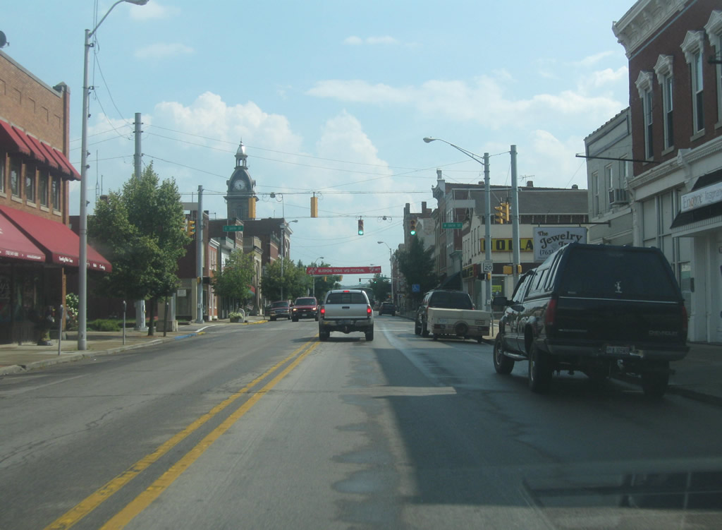
| U.S. 52 east multiplexes with SR 1 for about six miles from the north side of Brookville to Cedar Grove. In Brookville, both highways follow Main Street through the heart of town. 01/19/12 |
|
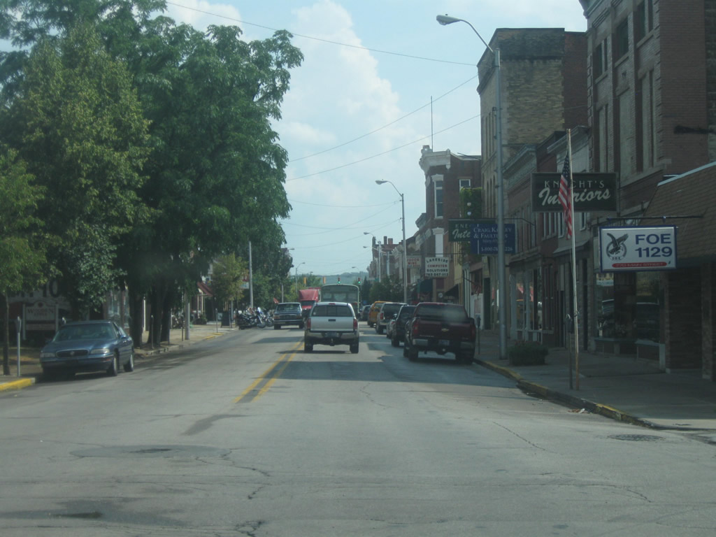
| Scenes of U.S. 52 east & SR 1 south (Main Street) as the highway continues south through the north side of Brookville and into the downtown district. The Franklin County Courthouse can be seen to the east of the highway as they enter Downtown. 07/30/11 |
|
| U.S. 52 east & SR 1 south (Main Street) at the intersection with 6th Street in Downtown Brookville. 6th Street crosses the Whitewater River to the west of town and becomes St. Mary's Road. The road winds its way toward the towns of St. Mary's and Oldenburg. 07/30/11 |
|
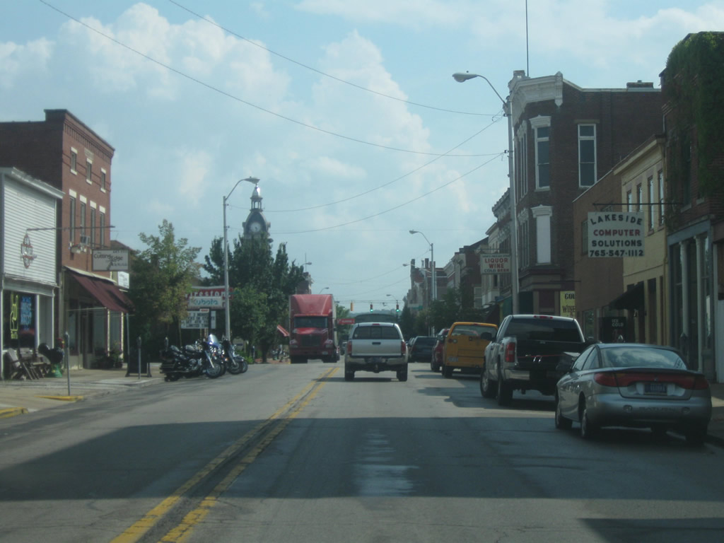
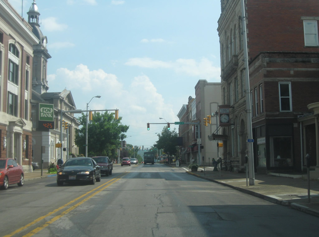
| Now in the heart of Downtown Brookville, U.S. 52 east & SR 1 south (Main Street) near the intersection with 5th Street. South of the intersection, the Franklin County Courthouse flanks the east side of the road. 07/30/11 |
|
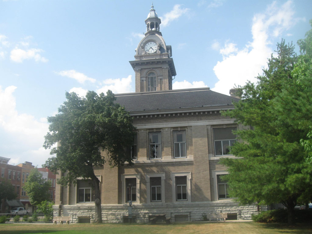
| The Franklin County Courthouse was first built in 1852 and later renovated in 1910. The renovation kept the basic structure and clock tower of the courthouse but renovated the rest based on architectural trends from the early 20th Century. Since 1852 it has served as the center of Brookville with U.S. 52 & SR 1 running along the west side of the square.1 07/30/11 |
|
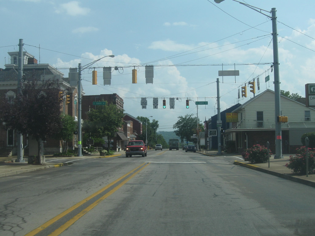
| A block south from the Franklin County Courthouse, U.S. 52 east & SR 1 south (Main Street) meets the intersection with SR 252 east (4th Street). SR 252 exists in two segments, one going for 39 miles in Morgan, Johnson and Shelby Counties and the second running for 11 miles from Brookville east to the Ohio state line in Scipio. 07/30/11 |
|
| South of the intersection with SR 252 east (4th Street), U.S. 52 & SR 1 (Main Street) descend out of the town of Brookville into a small commercial zone that abuts the highway on the town's south side. 07/30/11 |
|
| U.S. 52 east & SR 1 south cross over the East Fork of the Whitewater River, which merges with the main part of the river just southwest of this bridge to form the greater Whitewater River, which follows the U.S. 52 corridor into Ohio. 07/30/11 |
|
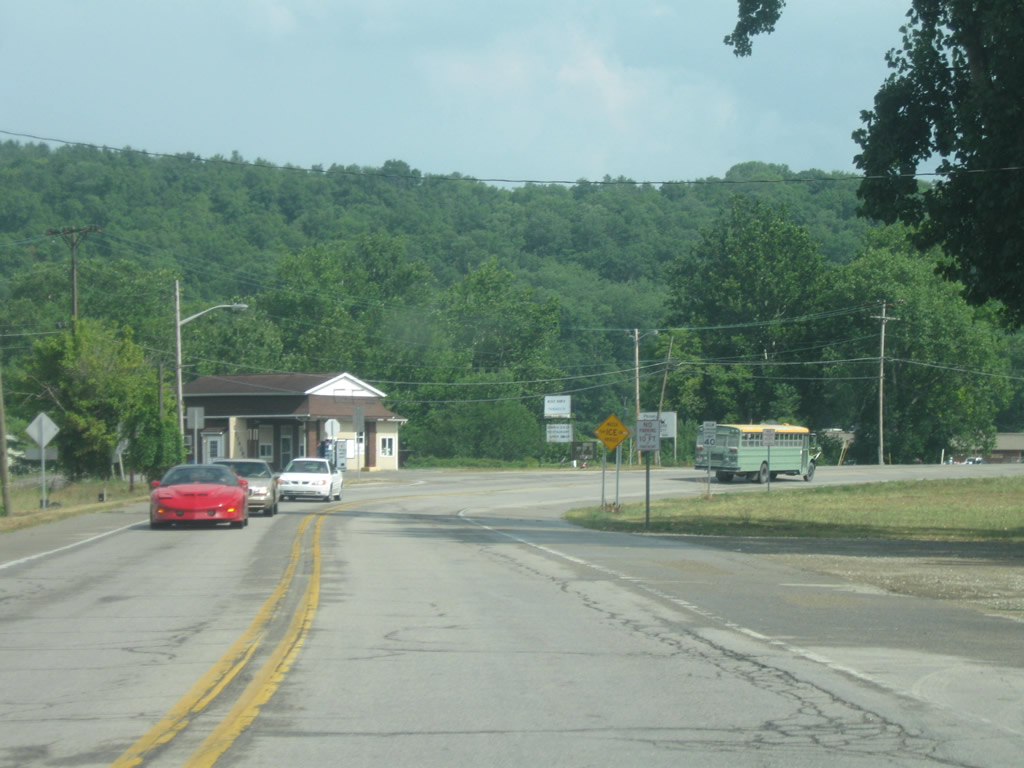
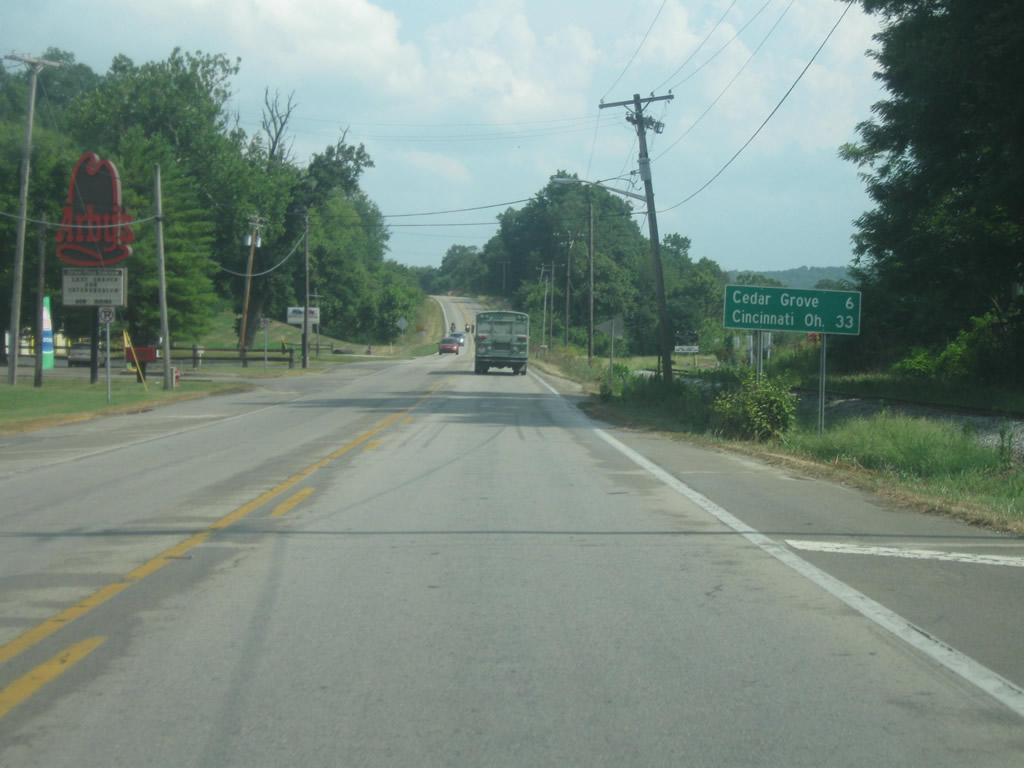
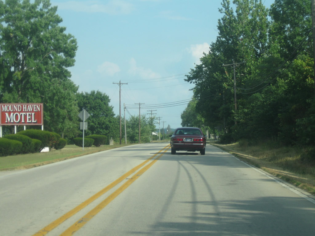
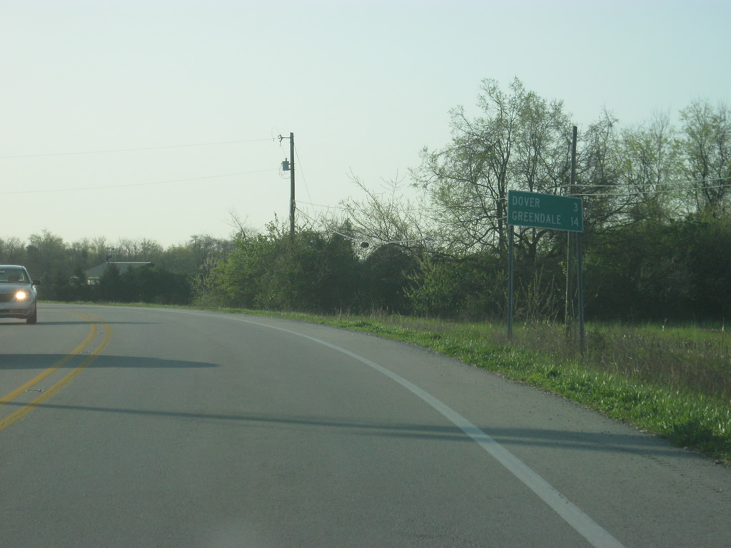
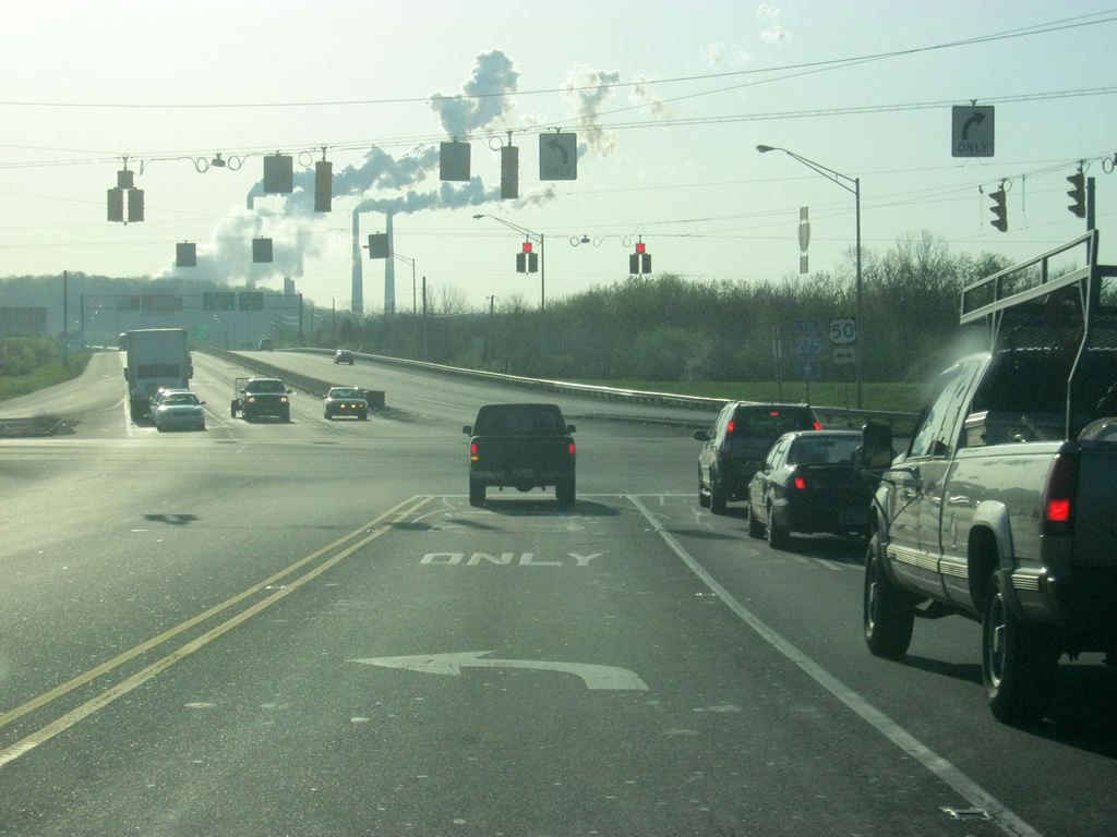
| Cedar Grove, where SR 1 and U.S. 52 east will split is six miles away. Cincinnati is 33 miles to the southeast along U.S. 52. 07/30/11 |
|
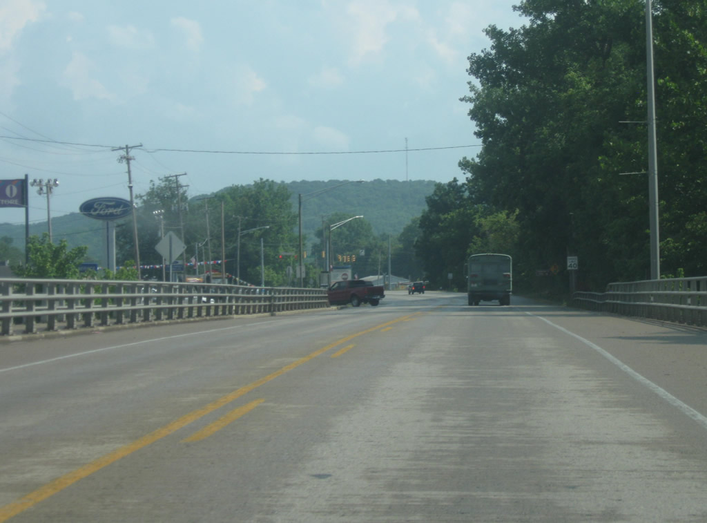
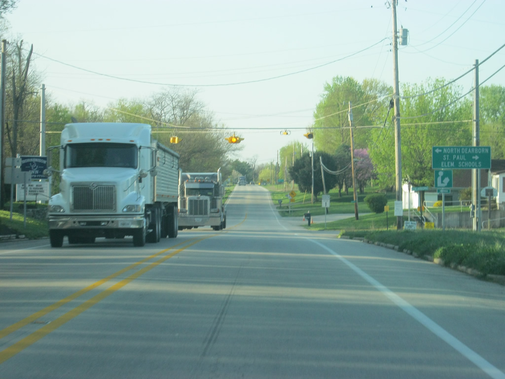
| U.S. 52 east & SR 1 south follow the Whitewater River to the southeast toward the town of Cedar Grove as the highway navigates the valley created by the river. Traffic picks up from Brookville south toward Interstate 74 and the Greater Cincinnati area. 07/30/11 |
|
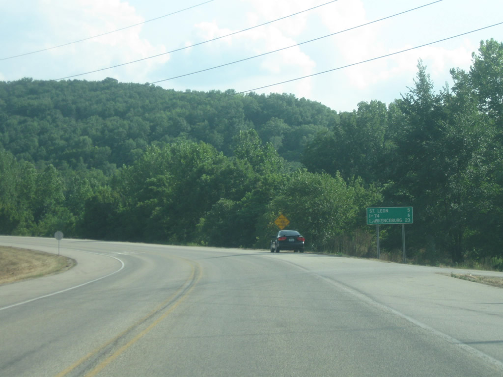
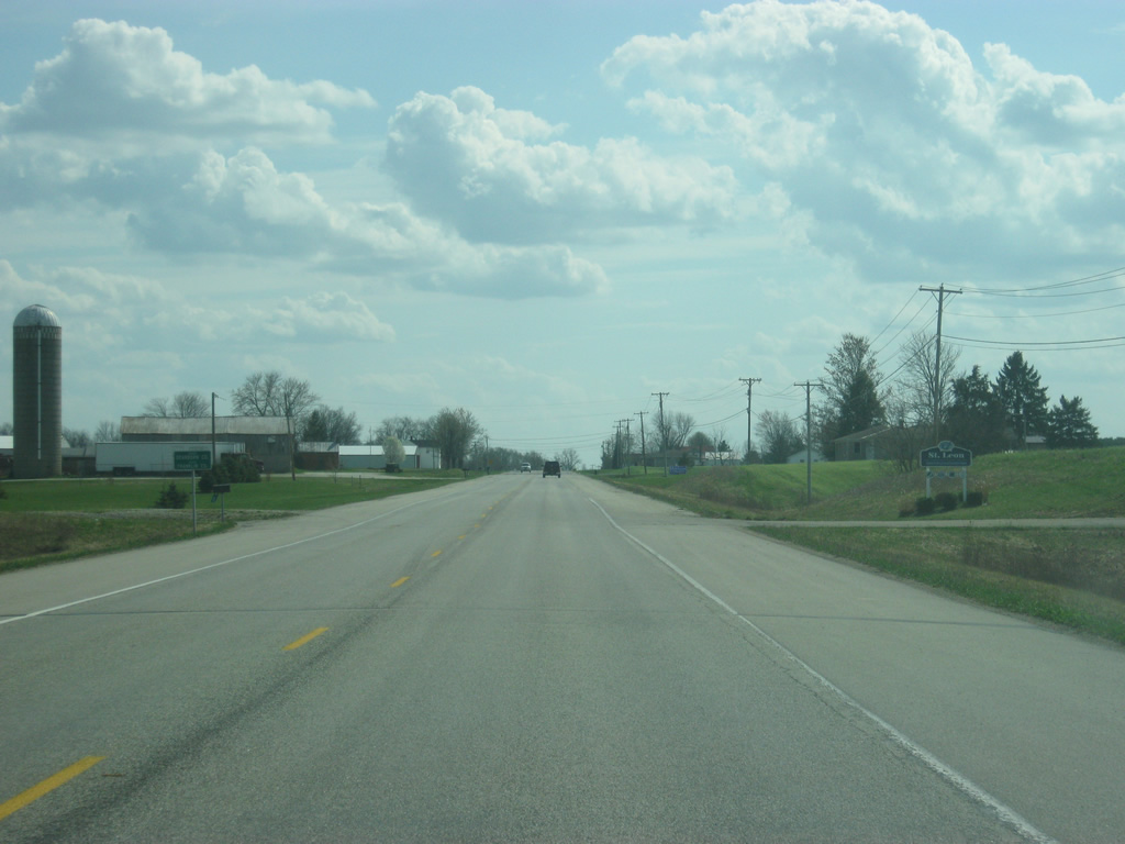
| A half mile west of the town of Cedar Grove, SR 1 turns off from U.S. 52 as the highway continues its southerly track toward St. Leon. U.S. 52 goes for another eight miles to the southeast before connecting with Interstate 74 for its approach into Ohio and Cincinnati. 07/30/11 |
|
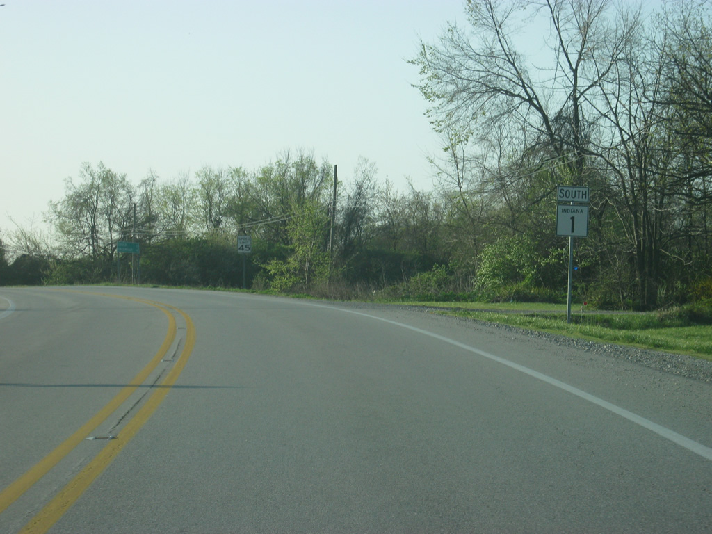
| South of U.S. 52, SR 1 is now five miles from St. Leon and six miles from its interchange with Interstate 74. The Dearborn County seat of Lawrenceburg, SR 1's southern terminus, is 23 miles away. 07/30/11 |
|
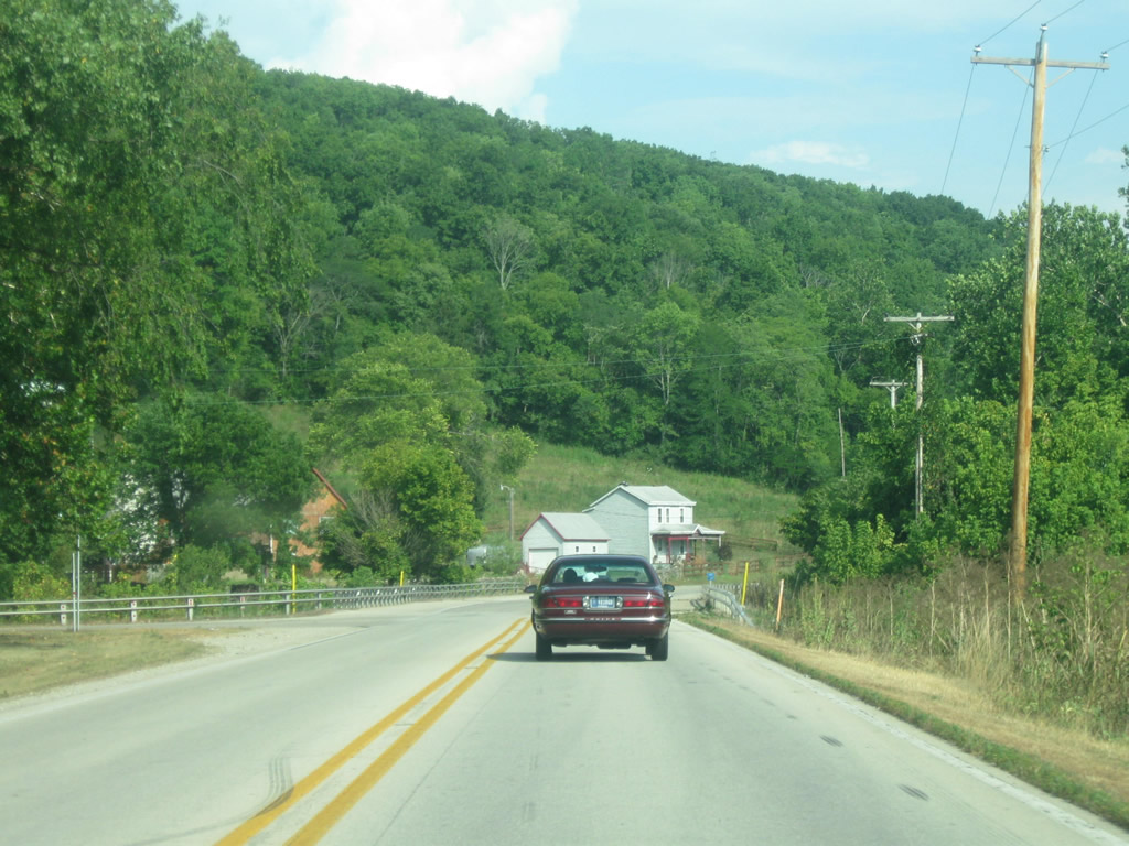
| South of U.S. 52, SR 1 climbs up the valley of the Whitewater River as it makes it way toward the town of St. Leon. SR 1 remains in the hills of Southeast Indiana for the remainder of its trip to Lawrenceburg. 07/30/11 |
|
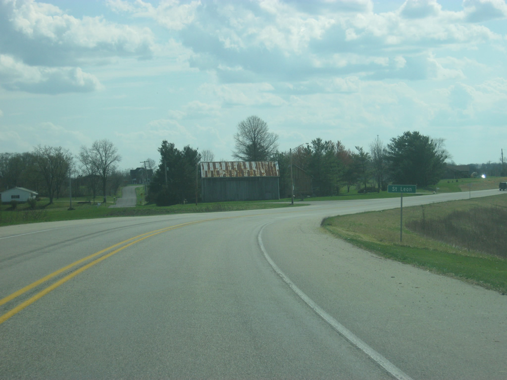
| SR 1 enters Dearborn County (population 50,047) and the town of St. Leon as it winds its way toward the intersection with SR 46. 03/19/12 |
|
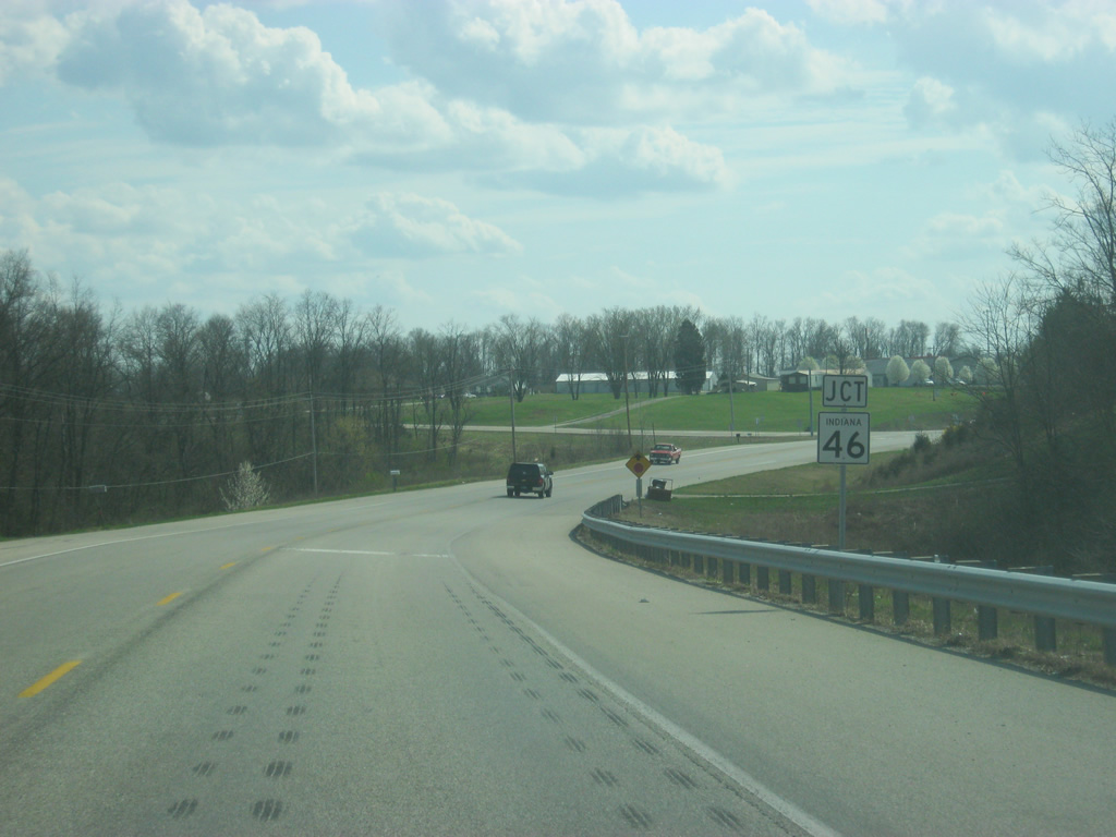
| A four-way stop marks the intersection between SR 1 and SR 46, which has been replaced by Interstate 74 to the immediate south as the main highway across northern Dearborn County. 03/19/12 |
|
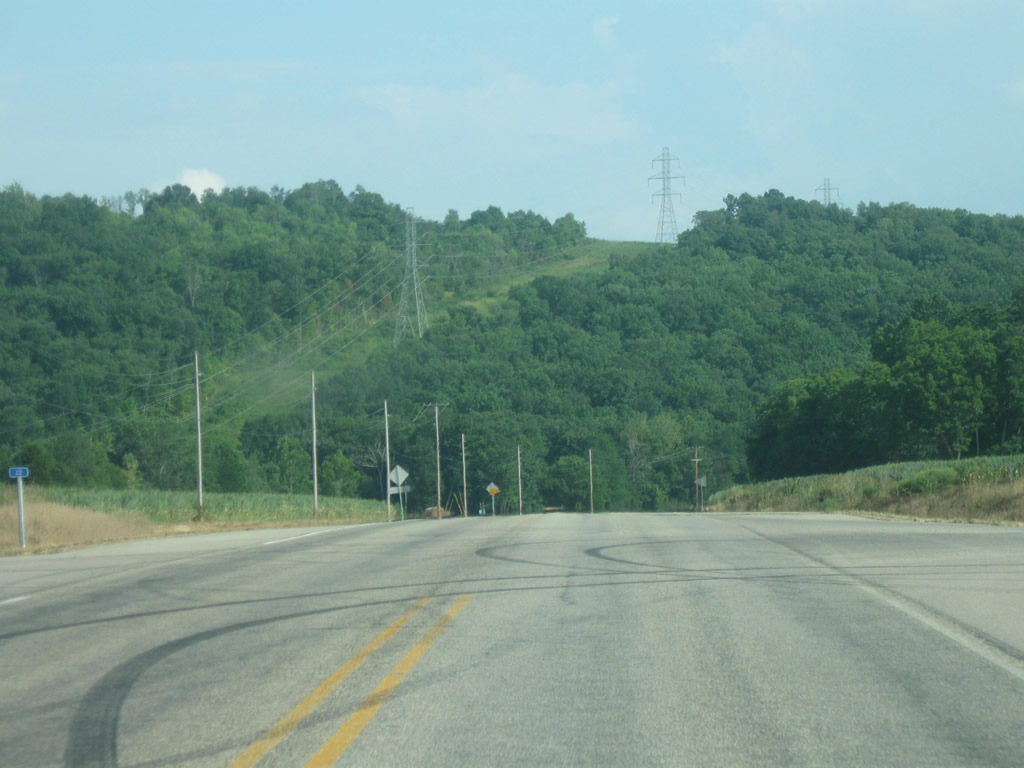
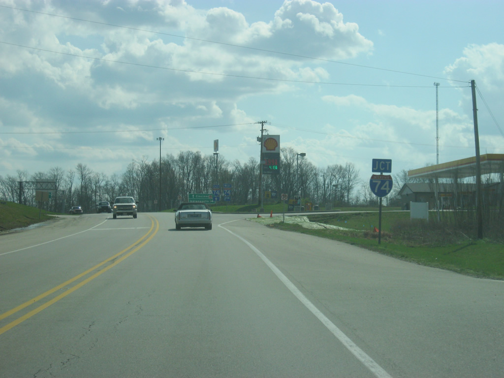
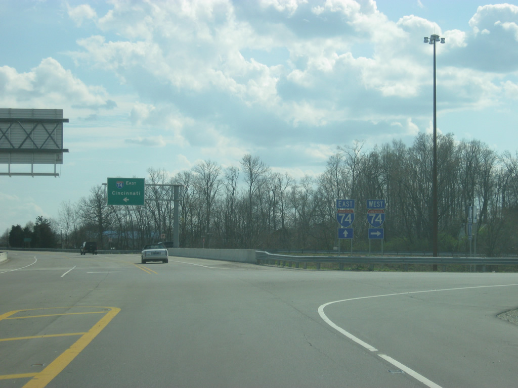
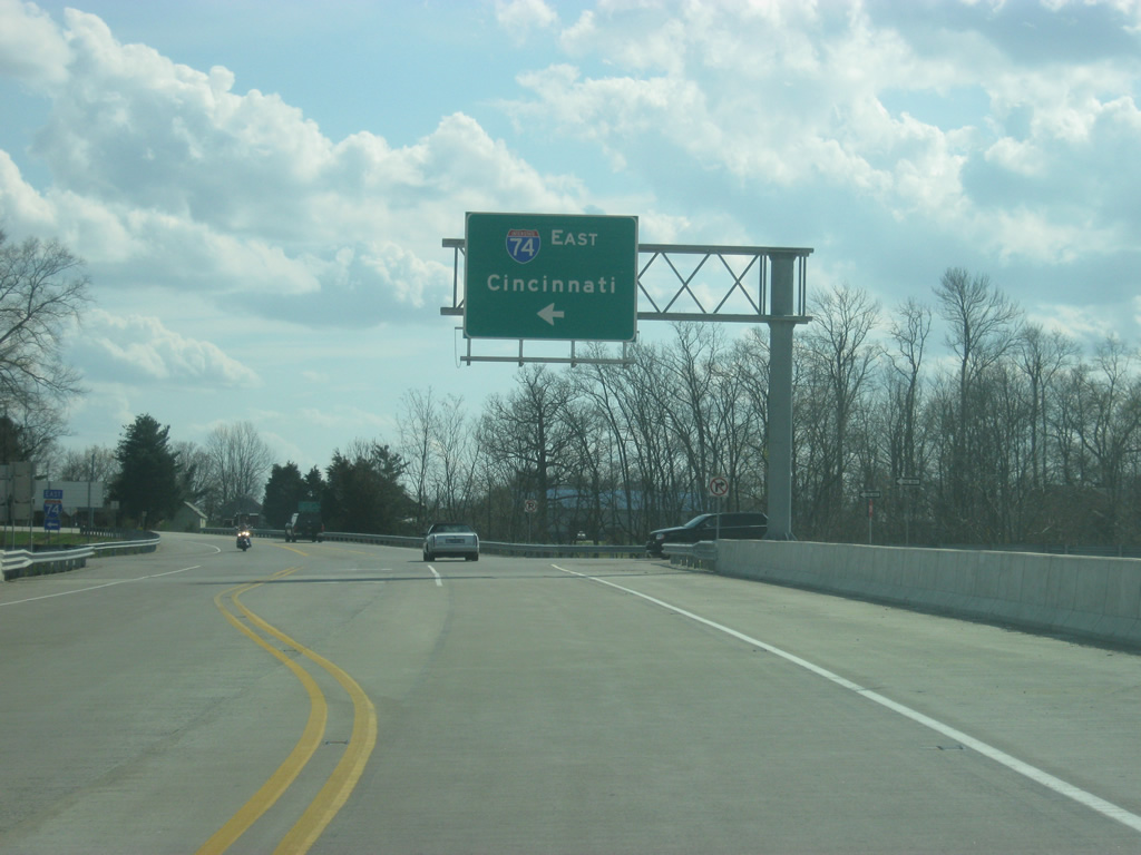
| South of SR 46, SR 1 comes up to the interchange with Interstate 74. Interstate 74 travels for 171.5 miles from the Illinois border near Danville, Illinois east past Crawfordsville, Indianapolis, Shelbyville and Greensburg before crossing into Ohio near Cincinnati. Nationally, the highway goes for 428.8 miles from Davenport, Iowa to Cincinnati, Ohio plus another section in North Carolina. 03/19/12 |
|
| To the west (right) Interstate 74 continues its westward journey across Indiana toward Batesville, Greensburg and Indianapolis. 03/19/12 |
|
| To the east, Interstate 74 is 32 miles from the Queen City of Cincinnati and I- 74's end at Interstate 75. 03/19/12 |
|
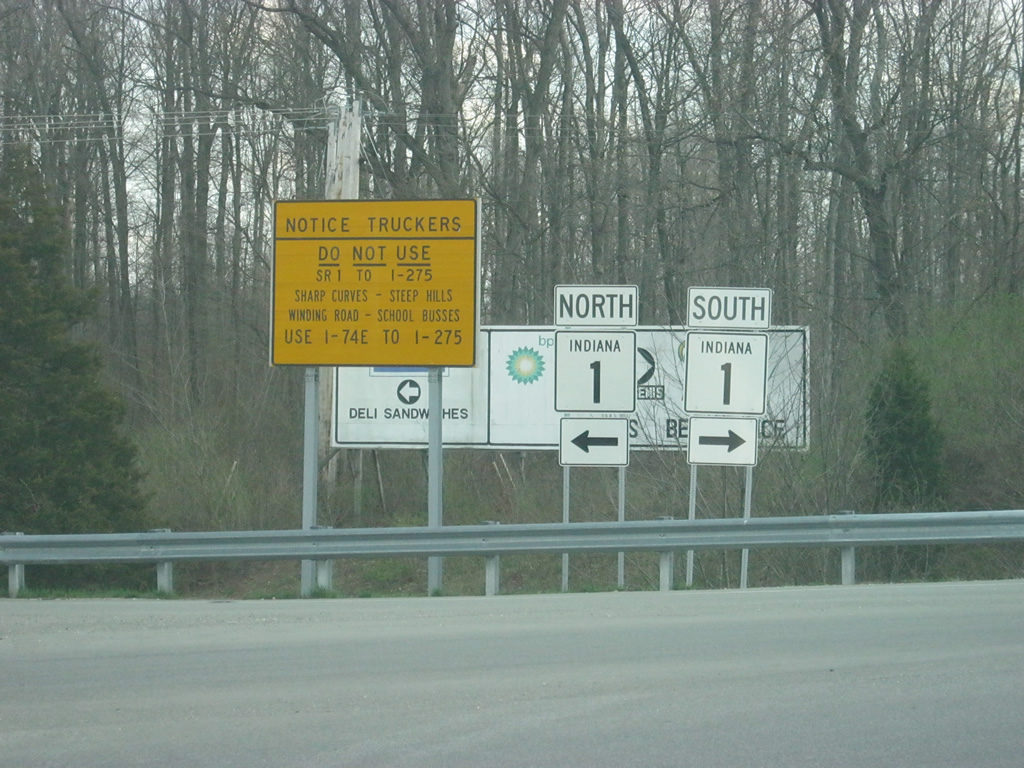
| At the intersection of the off ramp from Interstate 74 east and SR 1, an advisory sign warns truckers not to use SR 1 to the south to reach Interstate 275 in Lawrenceburg due to the curvilinear nature of the highway. Truckers heading to Interstate 275 should instead use Interstate 74 into Ohio to access the Cincinnati beltway. 03/19/12 |
|
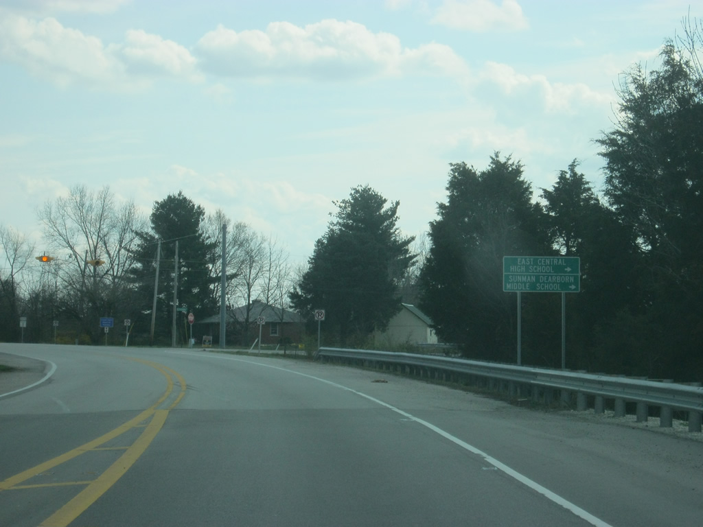
| South of the Interstate 74 interchange, SR 1 passes the intersection with Schuman Road, which leads west to East Central High School and Sunman Dearborn Middle School, both of which serve the northern part of Dearborn County and nearby Sunman in Ripley County. 03/19/12 |
|
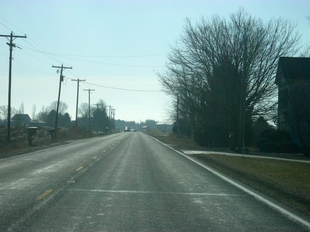
| Heading south from Interstate 74, a reassurance shield for SR 1 greets motorists as they are now three miles from Dover and 14 miles from Greendale, the official southern terminus of SR 1. 04/13/09 |
|
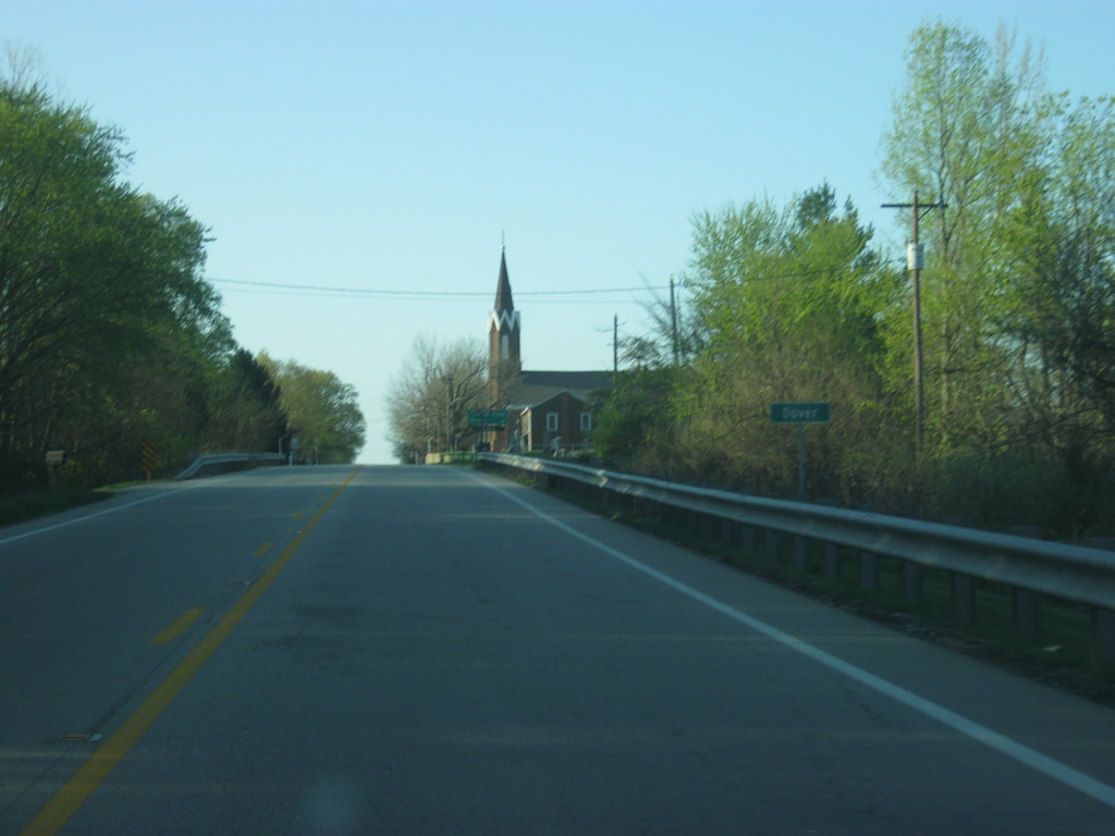
| SR 1 goes through the town of Dover in northern Dearborn County. 04/13/09 |
|
| Old State Road 1 ties into SR 1 from the east at Dover. The former alignment loops eastward through agricultural areas. 04/13/09 |
|
| SR 1 south intersects Dearborn Road in Dover at this flasher. Dearborn Road leads west toward New Alsace and St. Paul School and east to North Dearborn Elementary School and the Logan and Bright areas of northeast Dearborn County. 04/13/09 |
|
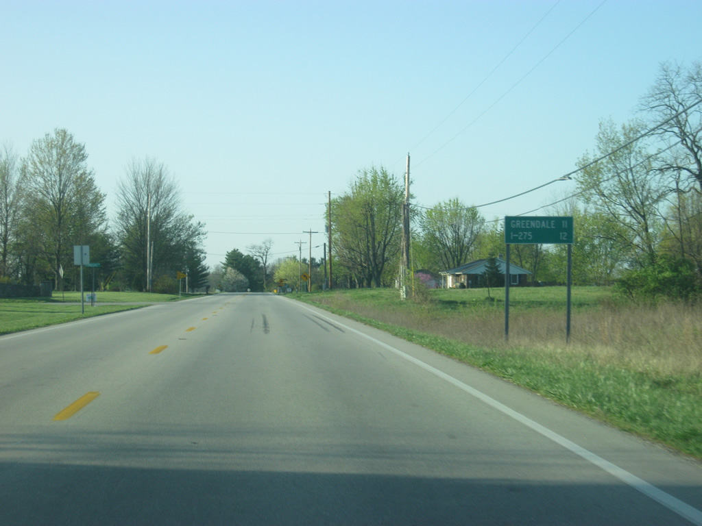
| South of Dover, the final distance sign on SR 1 gives the distances to Greendale (11 miles) and Interstate 275 (12 miles). 04/13/09 |
|
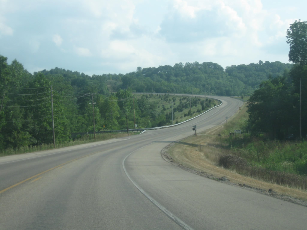
| South of Dover, SR 1 begins to head downhill into the Tanner Creek Valley as it continues to the southeast toward Greendale and the Lawrenceburg area. 04/13/09 |
|
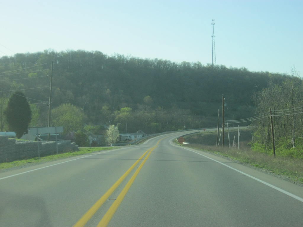
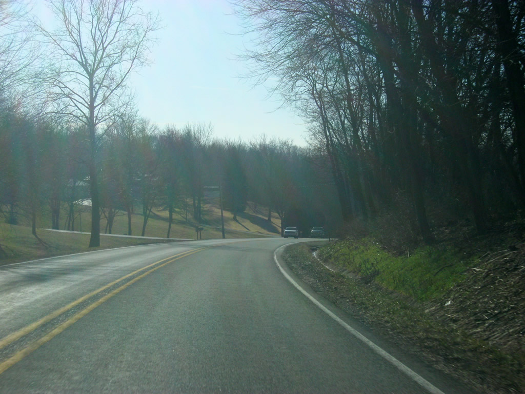
| SR 1 winds through a valley between the parallel Tanners Creek East Fork to the west and Sawdon and Mount Pleasant Ridges to the east. 04/13/09 |
|
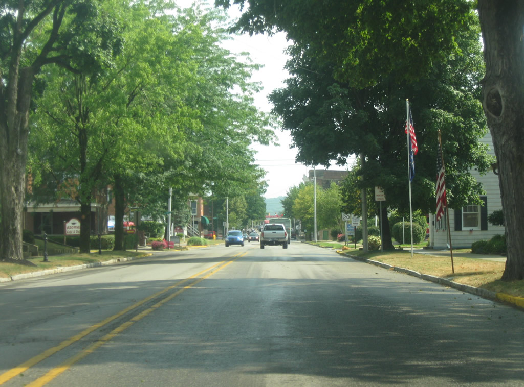
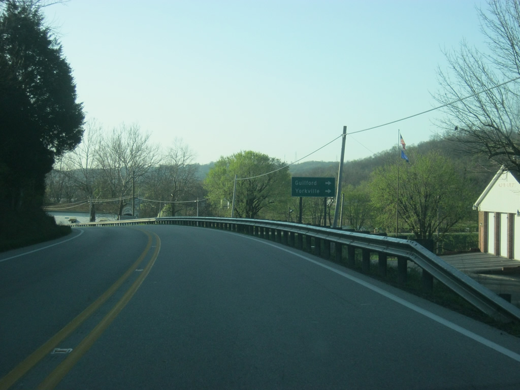
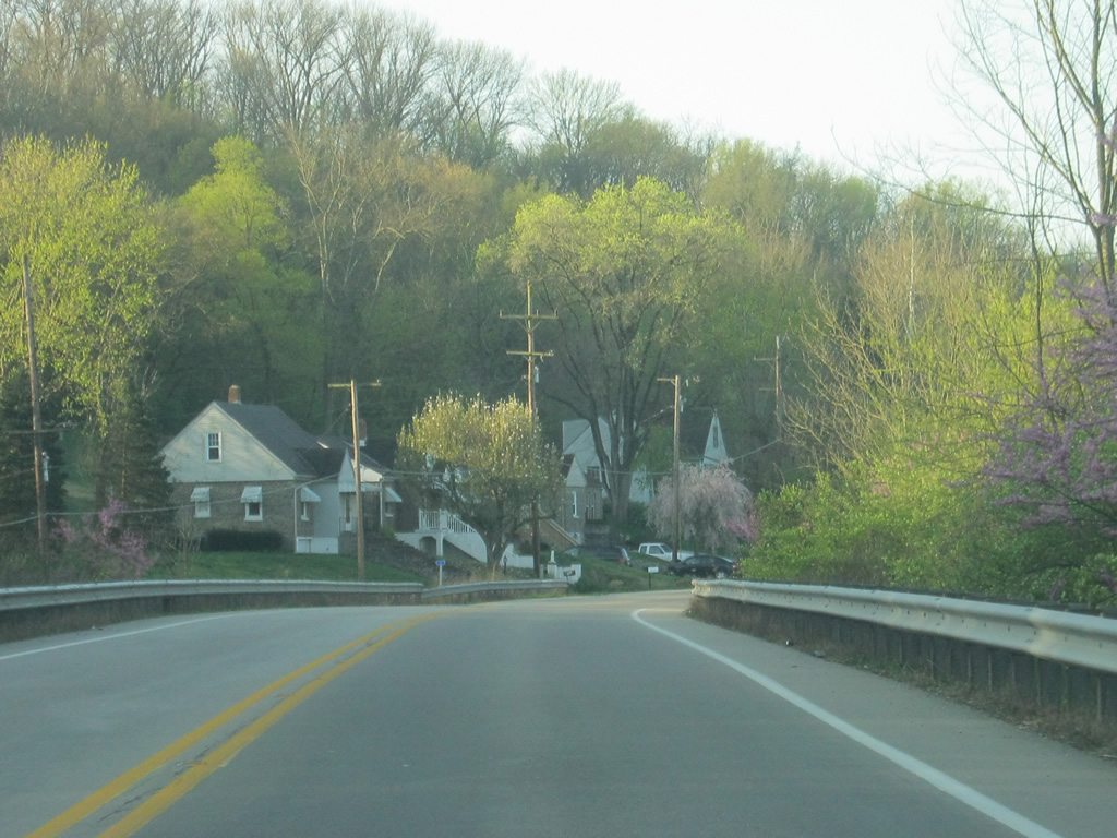
| Main Street heads southwest off of SR 1 to the town of Guilford immediately west of the highway. Yorkville can be accessed via York Ridge Road heading northwest out of Guilford. 04/19/09 |
|
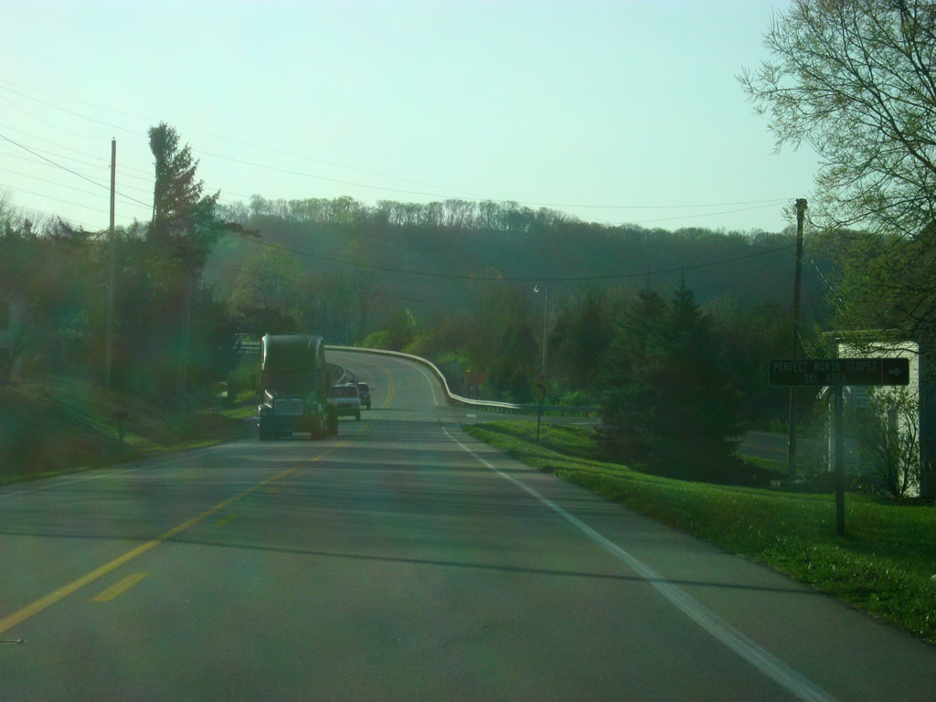
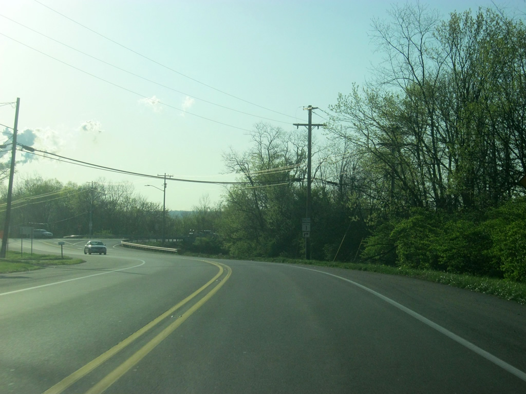
| Pella Crossing heads south from SR 1 to connect with the Perfect North Slopes ski resort. South of there, Pella Crossing connects with Pribble Road, which heads south to SR 48 west of Greendale. 04/19/09 |
|
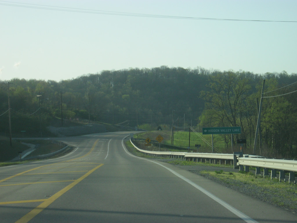
| Georgetown Road heads northward from SR 1 to the community and lake of Hidden Valley Lake. 04/19/09 |
|
| Passing the Georgetown Road intersection, SR 1 enters its final community, Greendale (population 4,520). 04/19/09 |
|
| SR 1 remains through rural areas even though it has passed through the Greendale city limits. 04/19/09 |
|
| Now on the north side of the developed part of Greendale, SR 1 turns south onto Ridge Avenue to connect with Belleview Drive. As SR 1 turns to the south, Oberting Road continues to the east as it follows a rail corridor and U.S. 50 toward the Ohio state line. 04/19/09 |
|
| SR 1 follows Ridge Avenue across a railroad track before coming up on the intersection with Belleview Drive. Ridge Avenue continues south toward the central part of Greendale. SR 1 at one time followed Ridge Avenue south through Greendale onto Main Street which directed the highway to U.S. 50 in Lawrenceburg. Today, the highway follows Belleview Drive to the east to its current southern terminus. 04/19/09 |
|
| A view of SR 1 (Belleview Drive) as it heads east to its final intersection with U.S. 50 (Eads Parkway). 04/19/09 |
|
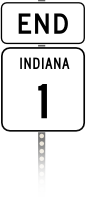
| An "End" SR 1 shield marks the southern terminus of the state road at U.S. 50 (Eads Parkway). U.S. 50 travels for 171.5 miles across Indiana from Vincennes at the Wabash River through the communities of Washington, Loogootee, Shoals, Bedford, Brownstown, Seymour, North Vernon, Versailles and Lawrenceburg before leaving the state just west of Cincinnati, Ohio. U.S. 50 stretches for just over 3,000 miles from West Sacramento, California to Ocean City, Maryland. 04/19/09 |
|
| SR 1 (Belleview Drive) ends at a stoplight with U.S. 50 (Eads Parkway) and the access road to the trumpet interchange with Interstate 275, which goes for 83.71 miles through the states of Indiana, Ohio and Kentucky as the beltway for the Greater Cincinnati area. From here, one can head straight onto the beltway to head north toward the northern suburbs of Cincinnati or south to the Northern Kentucky suburbs and Cincinnati-Northern Kentucky International Airport. 04/19/09 |
Page Updated 08-19-2014.


 East
East