|
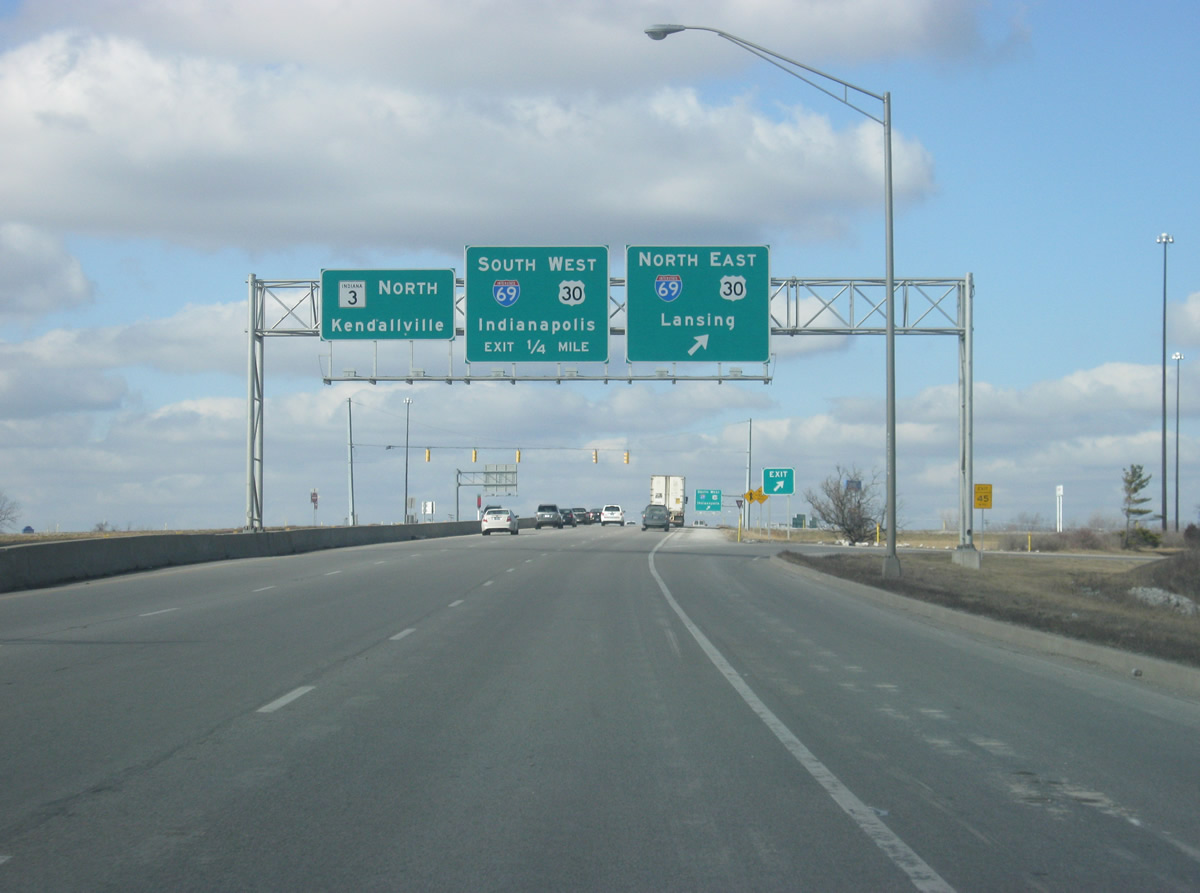
| We begin at the northern terminus of U.S. 27 and its cloverleaf interchange with Interstate 69 in the city of Fort Wayne (population 253,691). SR 3 picks up at the interchange and heads north toward Kendallville. SR 3 originally was routed through Fort Wayne and followed Lima Road north from the city. 08/16/09 |
|
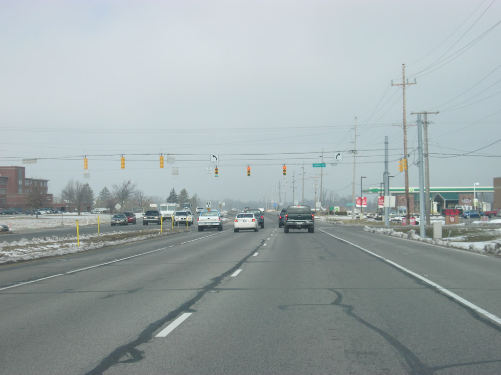
| Beyond the Interstate 69 interchange, SR 3 (Lima Road) approaches the intersection with Washington Center Road. Washington Center Road is a well-traveled four lane arterial that crosses the northern suburbs of Fort Wayne. 02/06/12 |
|
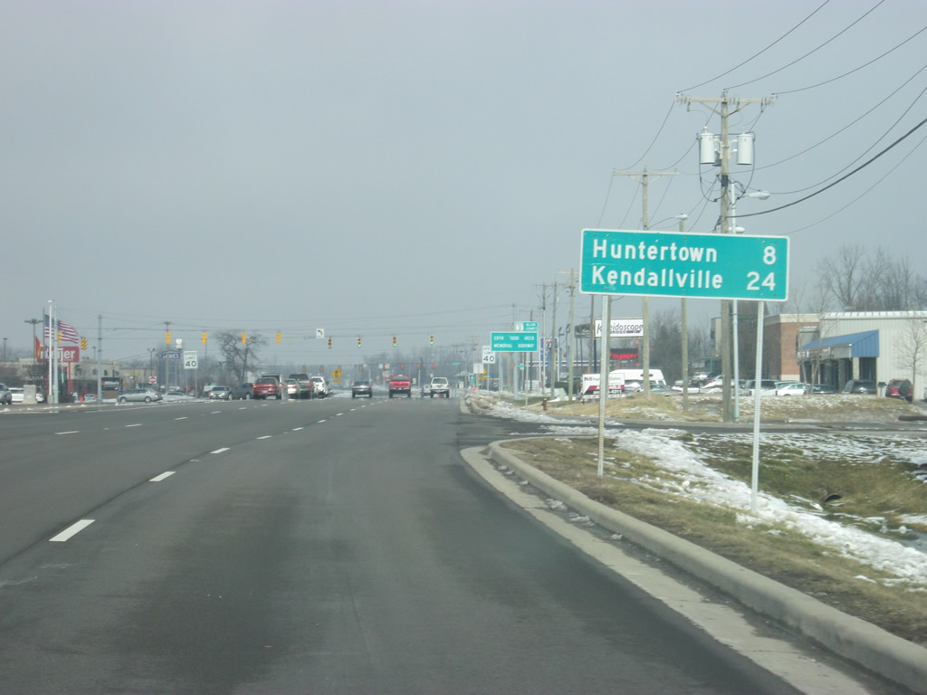
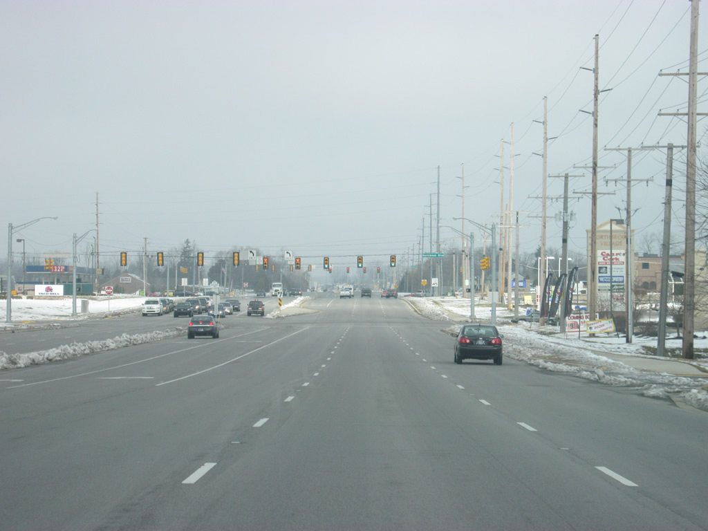
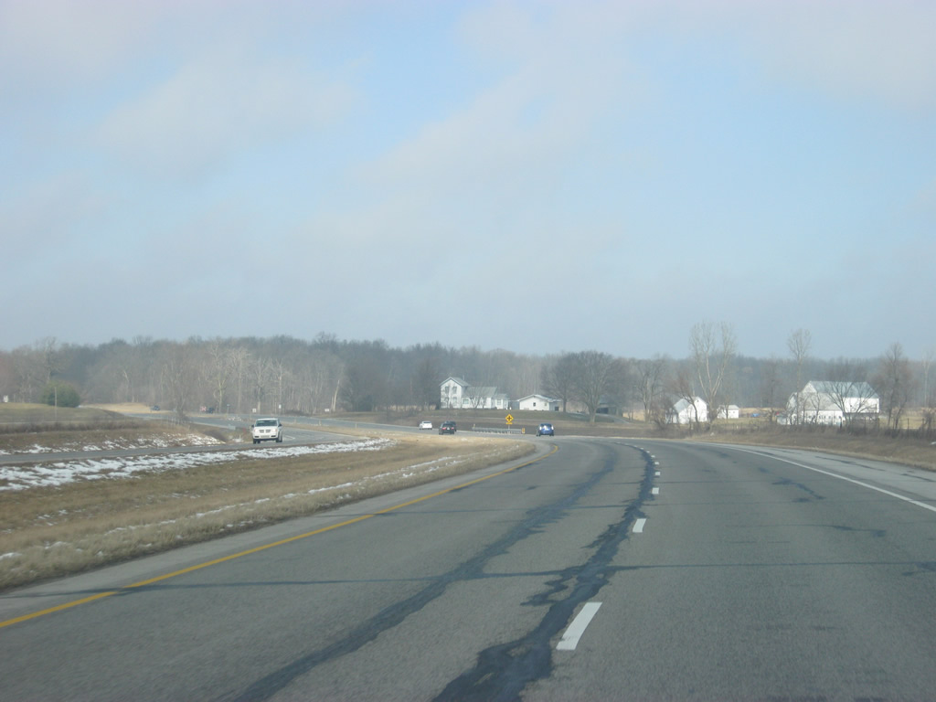
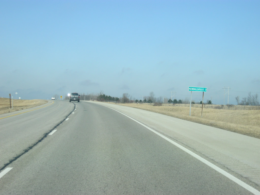
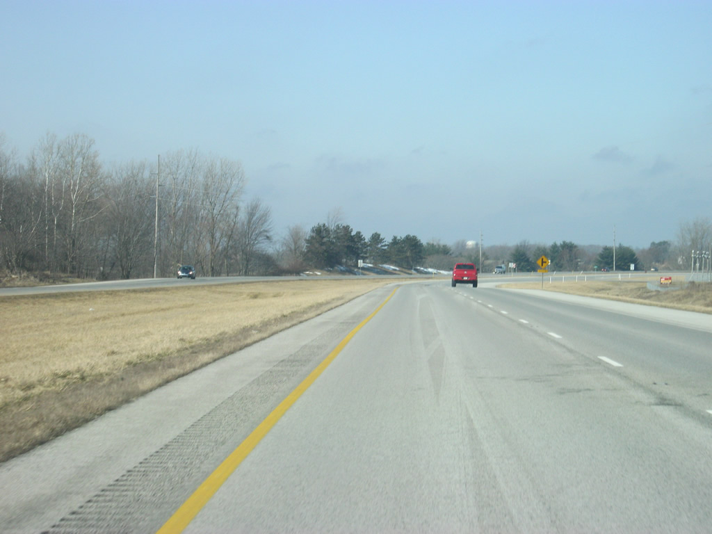
| North of Washington Center Road, SR 3 (Lima Road) is eight miles from the community of Huntersville in northern Allen County and 24 miles from Kendallville in eastern Noble County. 02/06/12 |
|
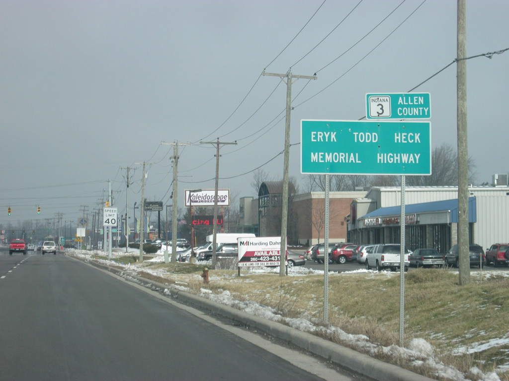
| SR 3 (Lima Road) in Allen County is named for Eryk Todd Heck, a member of the Allen County Sheriff's Department who was shot in the line of duty in 1997. The highway was named in his honor in 19991 and this new sign was erected upon the reconstruction of SR 3 (Lima Road) in 2011. 02/06/12 |
|
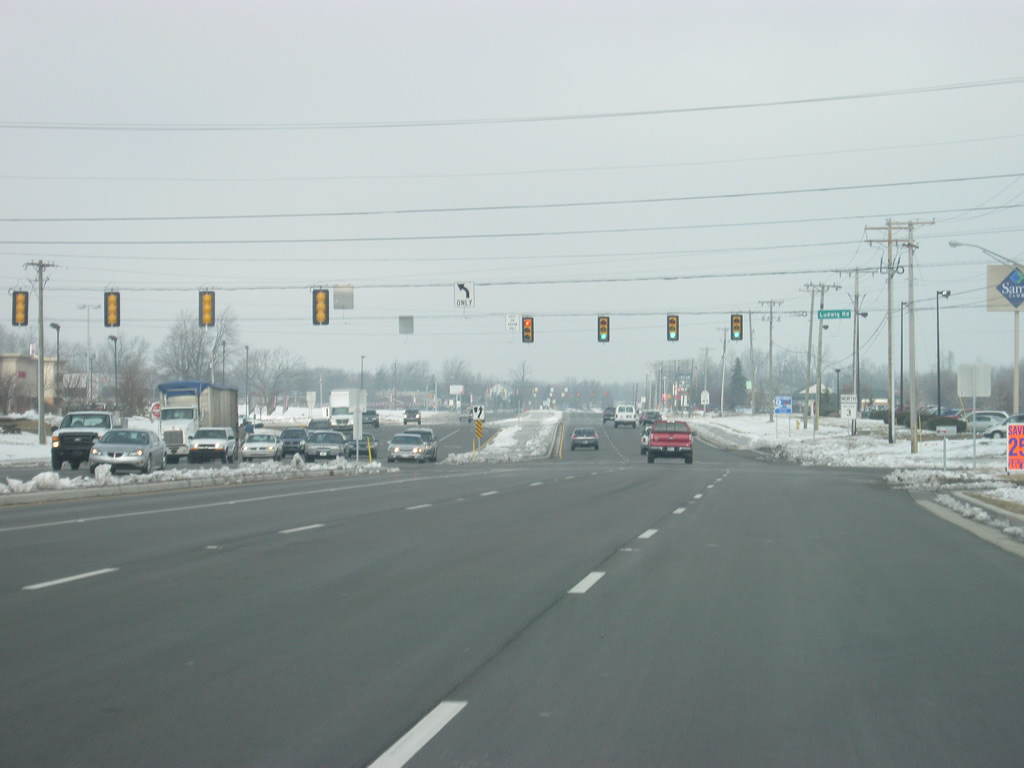
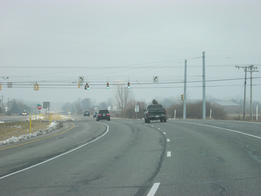
| Up next is the intersection with SR 3 (Lima Road) and Ludwig Road. Until 2011, this was the northernmost extent of the six lane section of State Road 3. Ludwig Road connects SR 3 (Lima Road) with Smith Airport and Coldwater Road. 02/06/12 |
|
| North of the Ludwig Road intersection, SR 3 (Lima Road) continues north as a new six lane highway. By the end of 2011, Lima Road was widened to six lanes from Ludwig Road north to the intersection with Dupont Road. 02/06/12 |
|
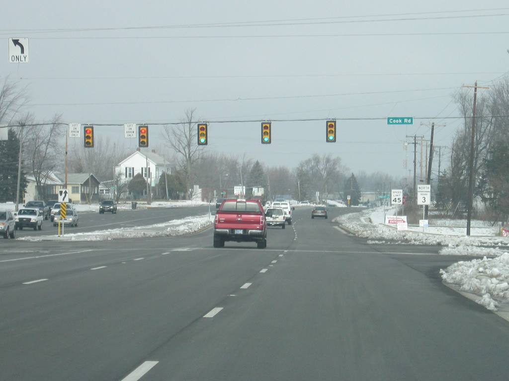
| SR 3 (Lima Road) at the intersection with Cook Road, which borders the north side of Smith Airport. 02/06/12 |
|
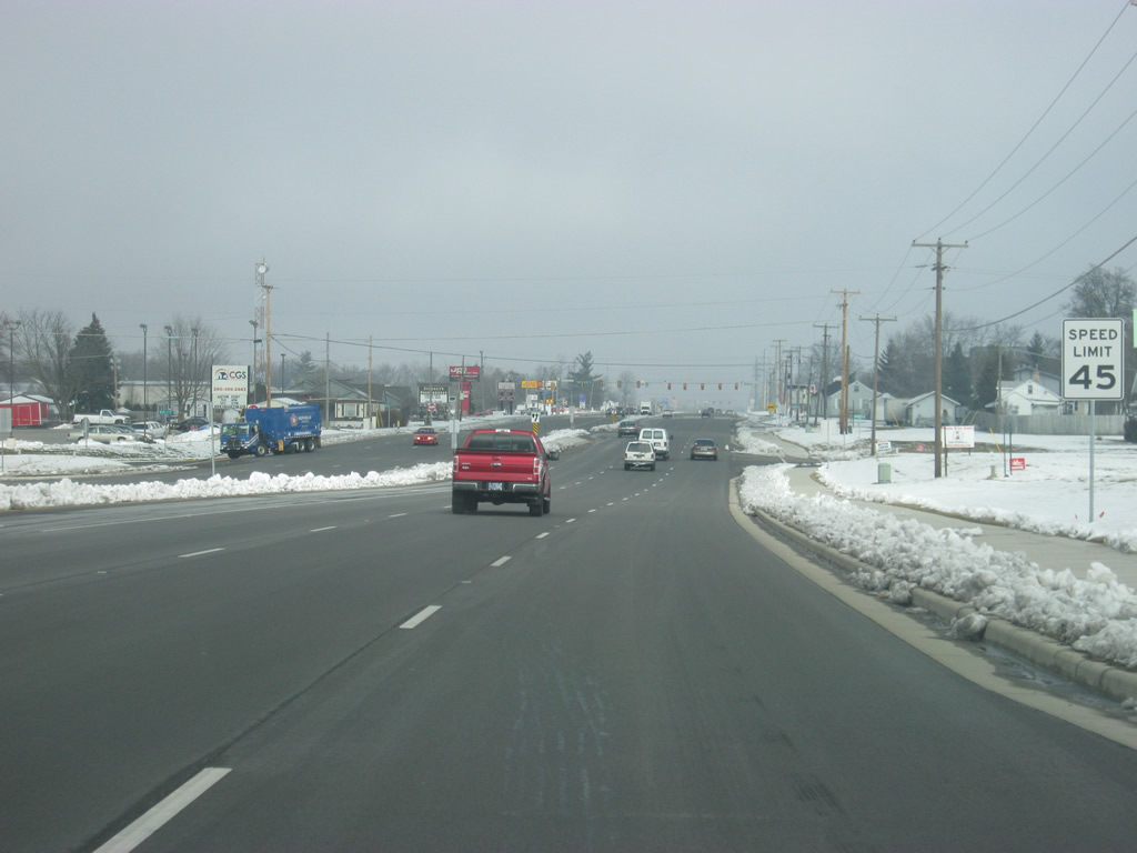
| A view of SR 3 (Lima Road) between Cook Road and Wallen Road. Sidewalks were placed on both sides of the highway for the length of the highway, which until 2011 was a four lane divided expressway north to Dupont Road. 02/06/12 |
|
| Now at the intersection with Wallen Road and SR 3 (Lima Road). The small community of Wallen, that was annexed by Fort Wayne, is just west of this intersection. 02/06/12 |
|
| Passing the intersection with SR 3 (Lima Road) and Rabus Drive near the community of Wallen. 02/06/12 |
|
| Between Till Road and Dupont Road, several shopping centers have emerged along SR 3 (Lima Road). The highway is the primary commercial corridor on the far north side of Fort Wayne. 02/06/12 |
|
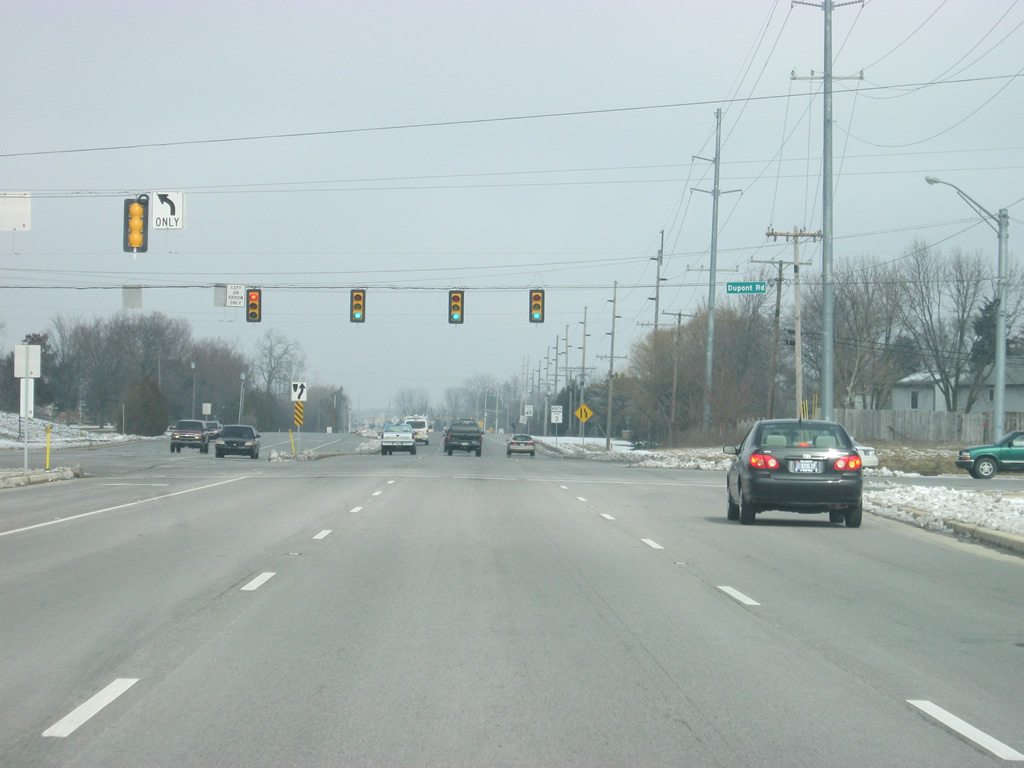
| SR 3 (Lima Road) at the intersection with Dupont Road. Dupont Road is a major east-west road that goes to the east to connect with Interstate 69 at SR 1, which continues to the northeast toward Leo-Cedarville. 02/06/12 |
|
| North of Dupont Road, SR 3 (Lima Road) drops the far right lane as the highway reduces back to a four lane expressway. 02/06/12 |
|
| Subdivisions line both sides of SR 3 (Lima Road) in this scene near the intersection with Winnsboro Pass. 02/06/12 |
|
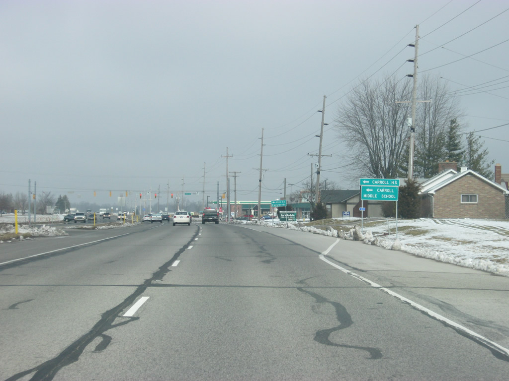
| SR 3 (Lima Road) approaches the intersection with Carroll Road. The Northwest Allen School District middle and high school are both west along Carroll Road from SR 3 (Lima Road). In addition, the Allen County Fairgrounds is just west of the intersection. 02/06/12 |
|
| Entering the intersection with SR 3 (Lima Road) and Carroll Road. Beginning at the Whitley County line and crossing U.S. 33, Carroll Road continues east across the far northern suburbs of Fort Wayne and connects with Union Chapel Road via Corbin Road. A new interchange joins Union Chapel Road with Interstate 69 in 2012. 02/06/12 |
|
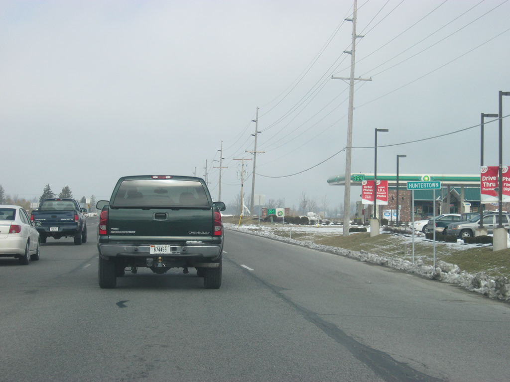
| Passing the intersection with Carroll Road and SR 3 (Lima Road), the four lane expressway enters the town of Huntertown (population 4,810). Increasing from 1,771 in 2000, Huntertown has grown tremendously as part of the northern suburbs of Fort Wayne. 02/06/12 |
|
| A view of SR 3 (Lima Road) north of the intersection with Carroll Road. Undeveloped agricultural land surrounds the first mile of SR 3 (Lima Road) into Huntertown. 02/06/12 |
|
| Lima Road (Old State Road 3) breaks off to the north from the SR 3 expressway to the heart of Huntertown while the four lane highway bypasses the town to the east. 02/06/12 |
|
| SR 3 turns toward the northeast as it approaches one of the two stoplights to serve Huntertown, for Gump Road. 02/06/12 |
|
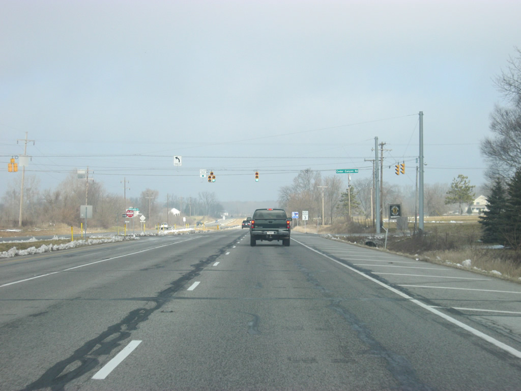
| Heading northward through eastern reaches of Huntertown between Gump and Cedar Canyons Roads. 02/06/12 |
|
| Indiana nears the second stoplight intersection for Huntertown, providing access to Cedar Canyons Road. 02/06/12 |
|
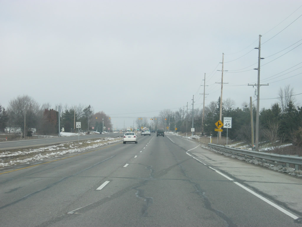
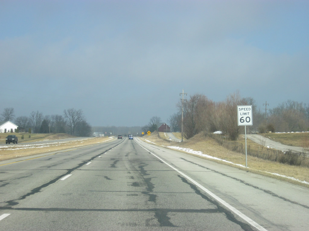
| North of the intersection with Cedar Canyons Road, SR 3 leaves the suburban part of Huntertown and Fort Wayne and the speed limit along the four lane expressway increases to 60 miles per hour. 02/06/12 |
|
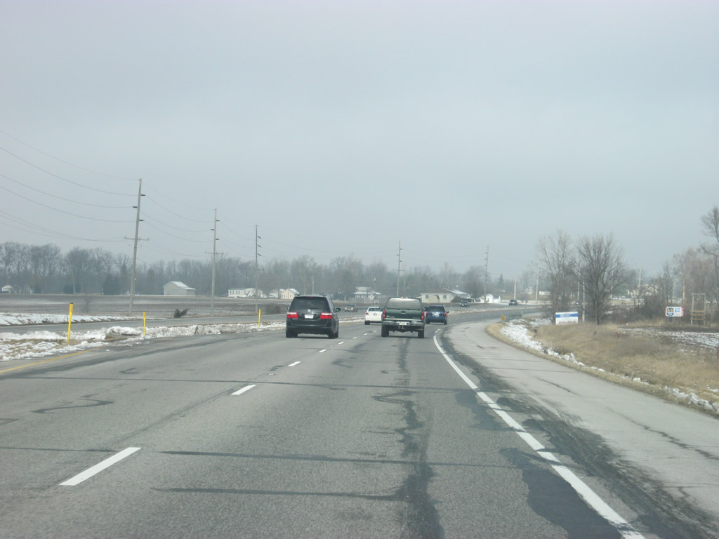
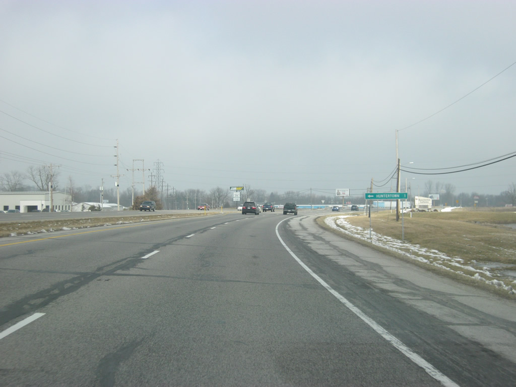
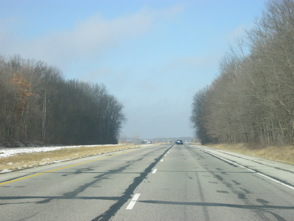
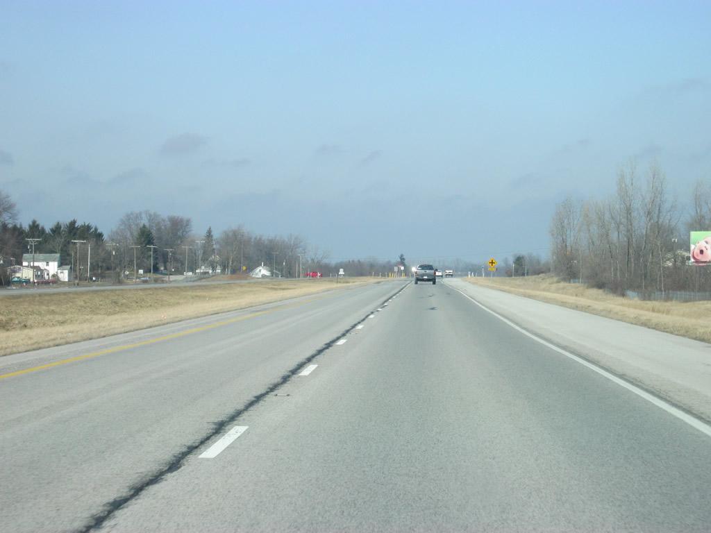
| North of Huntertown, SR 3 becomes a rural expressway and continues across far northern Allen County. By the early 1990s, SR 3 was widened to four lanes and built to bypass some of the towns along the way north to Kendallville. 02/06/12 |
|
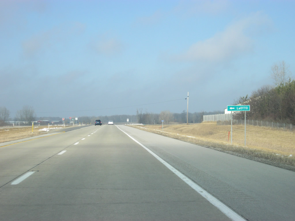
| Old State Road 3 branches to the west toward the town of LaOtto from SR 3 north. As the name implies, it was the former SR 3 before the expressway was built. 02/06/12 |
|
| SR 3 briefly crosses into DeKalb County (population 42,223). 02/06/12 |
|
| Approaching Black Creek and County Road 68 along SR 3 north in far southwestern corner of DeKalb County. 02/06/12 |
|
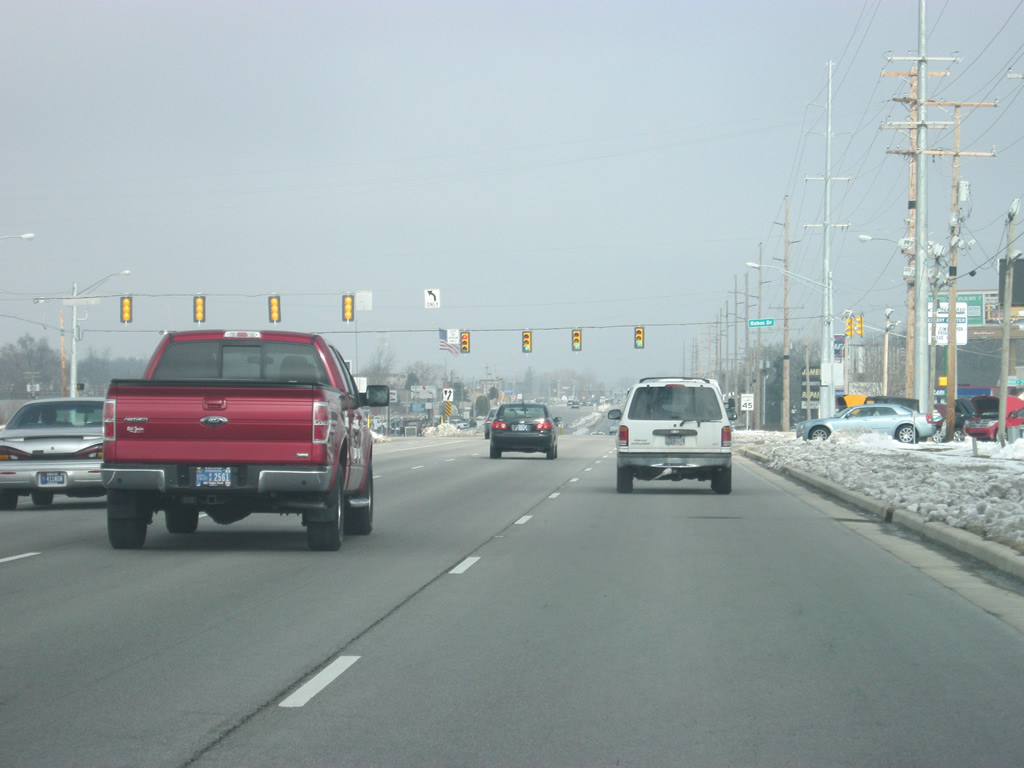
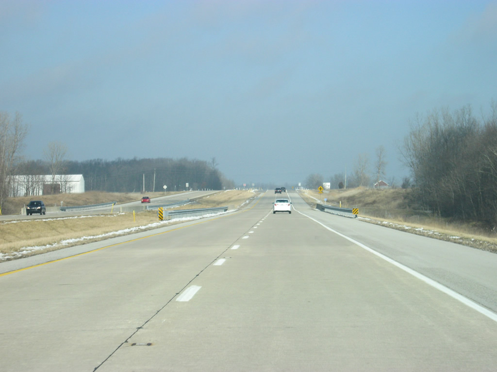
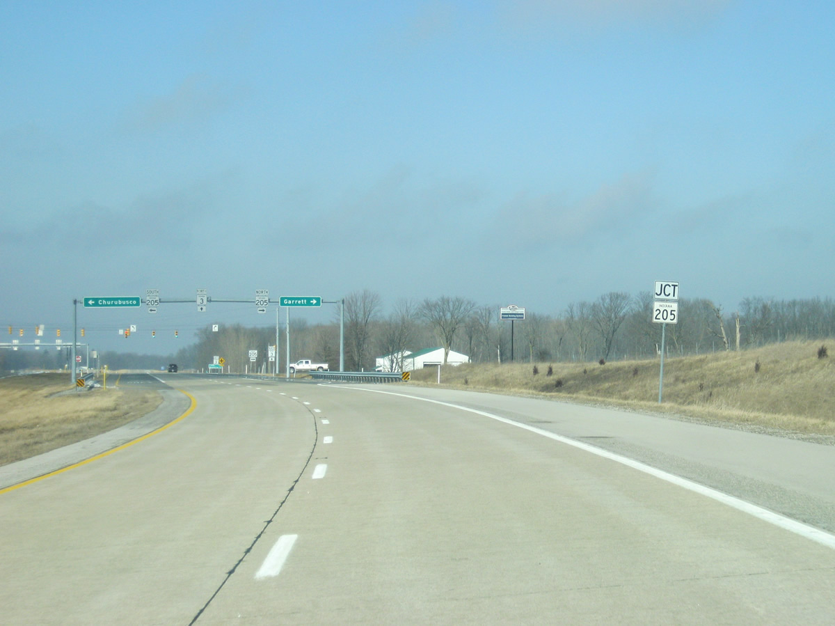
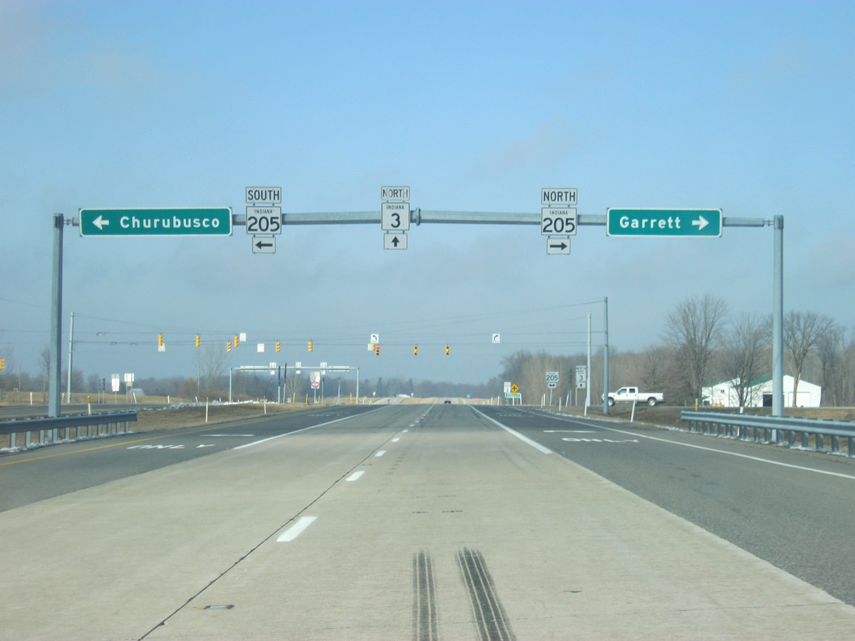
| Still in DeKalb County, SR 3 nears the intersection with SR 205. SR 205 goes for 32 miles from South Whitley to the northeast through Columbia City, Churubusco, Garrett and an end at SR 327. 02/06/12 |
|
| Churubusco is seven miles to the southwest along SR 205 while Garrett is four miles to the northeast. 02/06/12 |
|
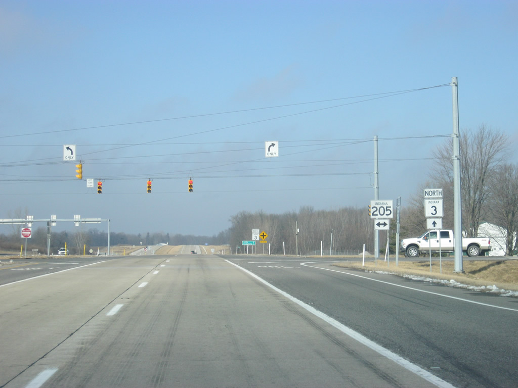
| Now at the stoplight intersection between SR 3 and SR 205. The small town of LaOtto is just to the west across the county line in Noble County. 02/06/12 |
|
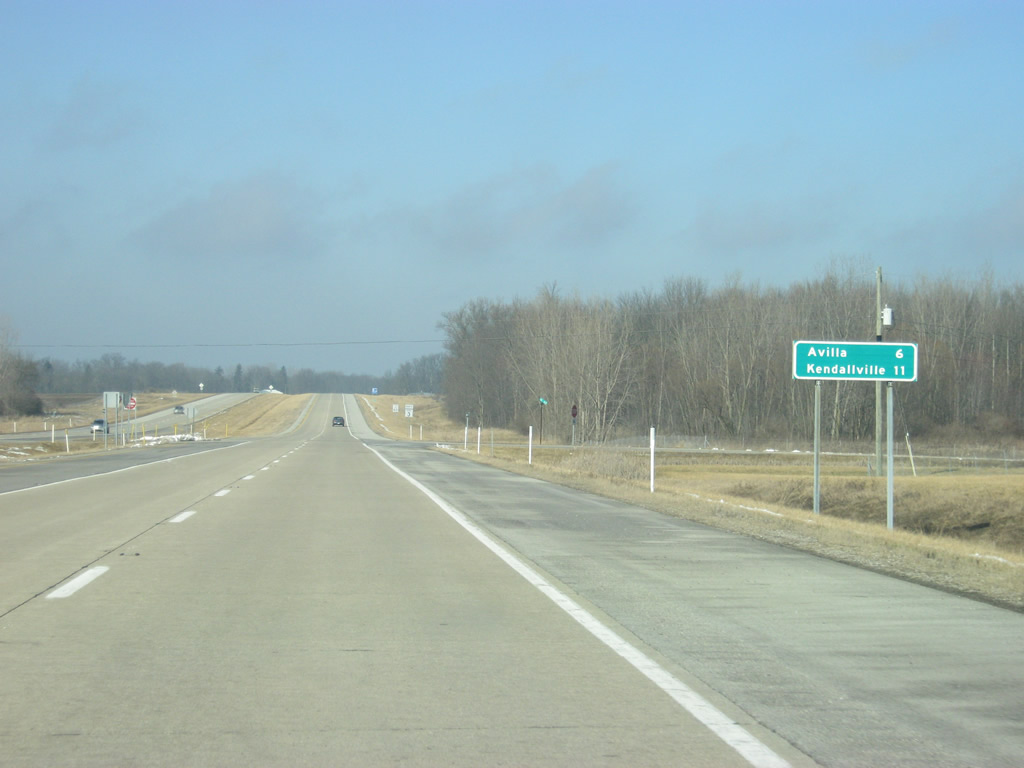
| North of the SR 205 intersection, SR 3 is six miles from Avilla and 11 miles from Kendallville. 02/06/12 |
|
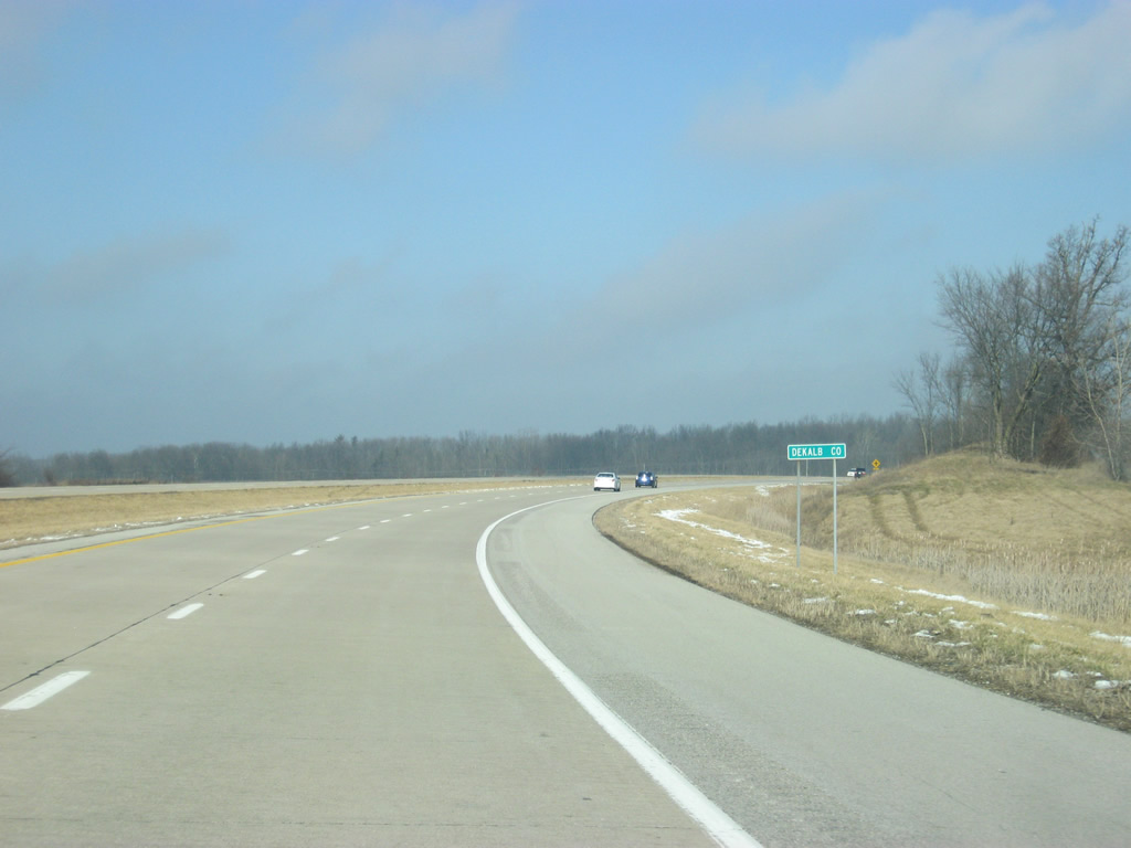
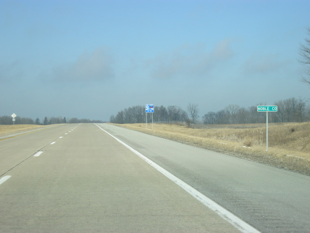
| Only 2.6 miles are spent within DeKalb County, after that SR 3 crosses into Noble County (population 47,536). 02/06/12 |
|
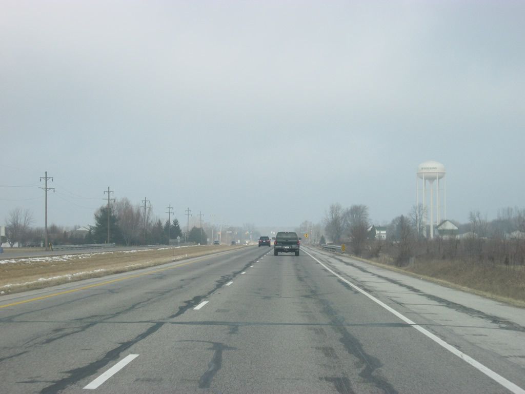
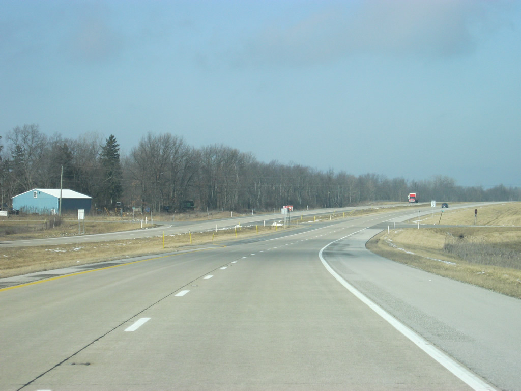
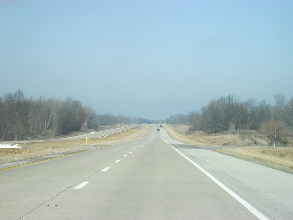
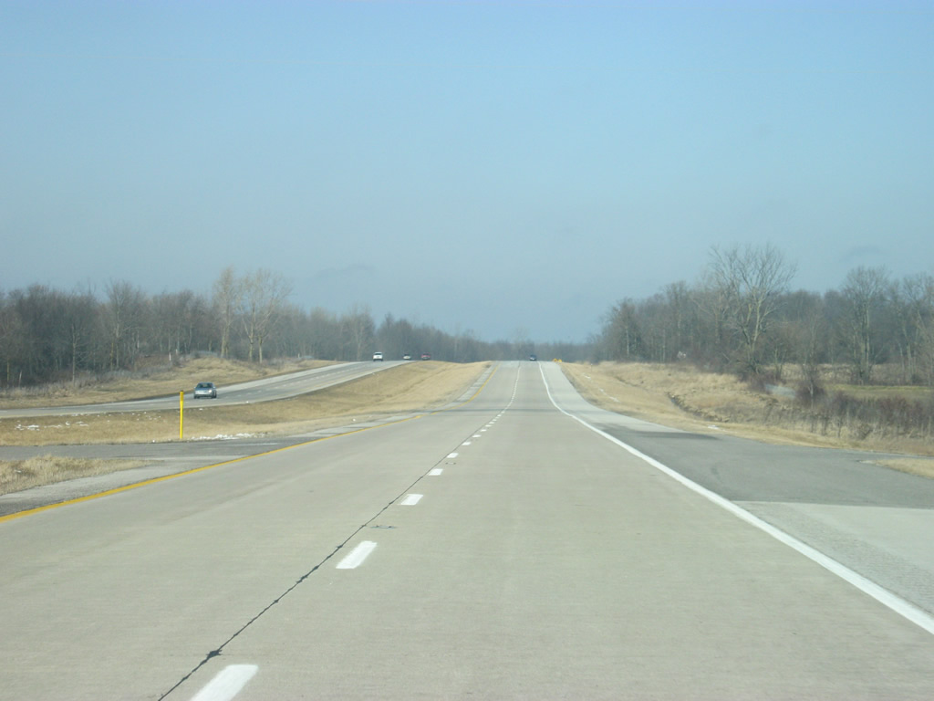
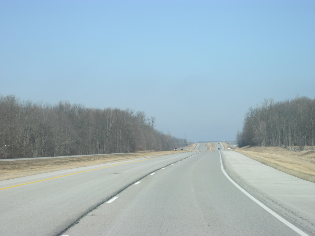
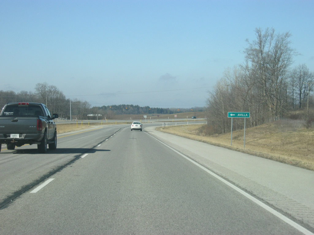
| SR 3 continues across southeastern Noble County. The expressway overtook a former Norfolk Southern Railroad between County Road 300 South and CR-100 South. Old State Road 3 parallels to the west through Swan and Avilla. 02/06/12 |
|
| A CSX Railroad line passes under SR 3 on the outskirts of Avilla in the distance. 02/06/12 |
|
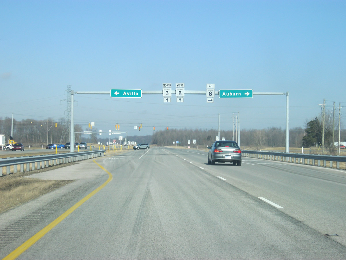
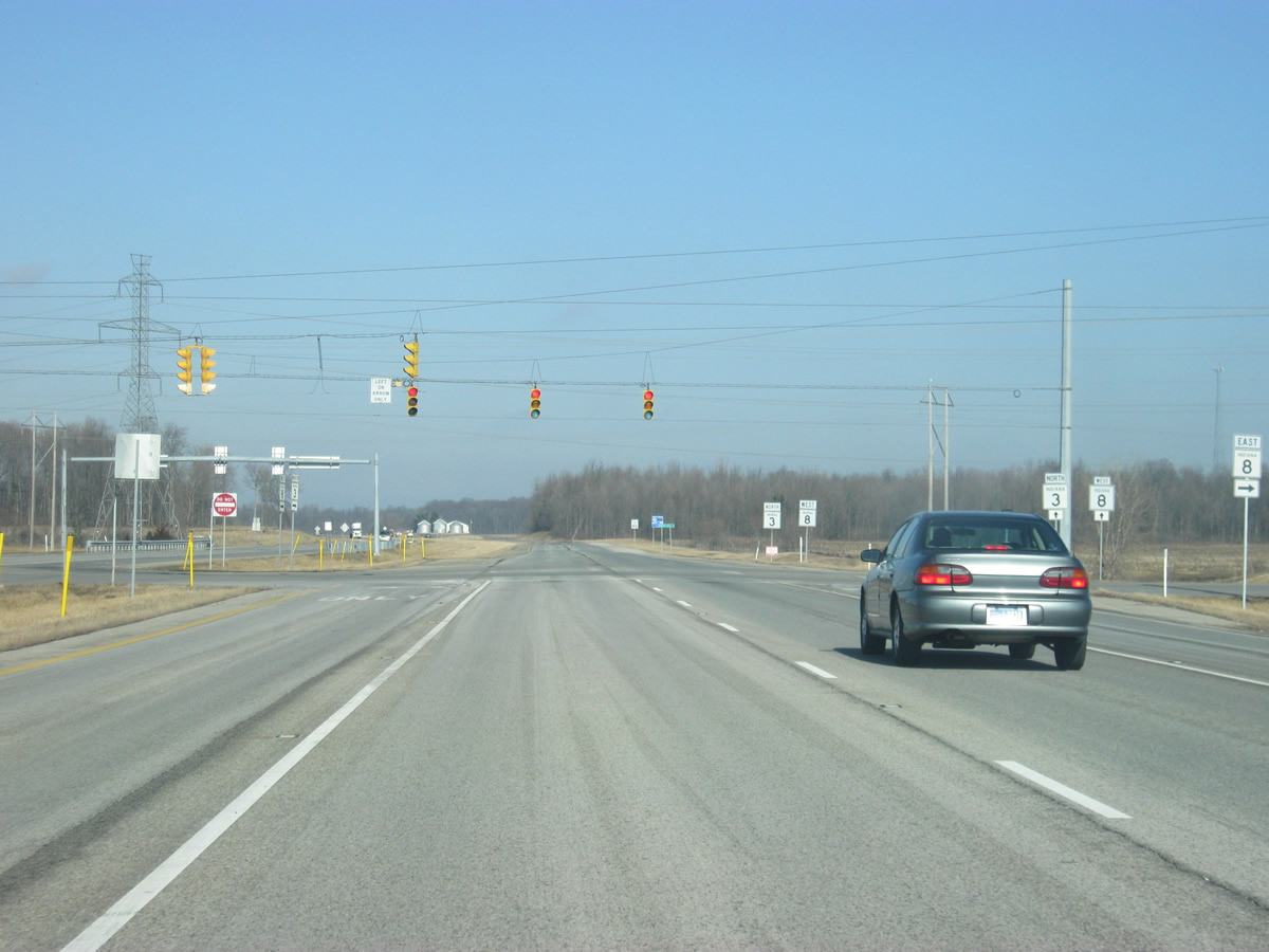
| The next stoplight intersection on SR 3 is with SR 8 east. SR 8 exists in three segments with the easternmost segment stretching for 34 miles from SR 9 in Albion to the Ohio state line east of Auburn, the county seat of DeKalb County. 02/06/12 |
|
| Avillia is just west of SR 3 along Albion Street (former State Road 8). Auburn is eight miles to the east via SR 8 at the interchange with Interstate 69. 02/06/12 |
|
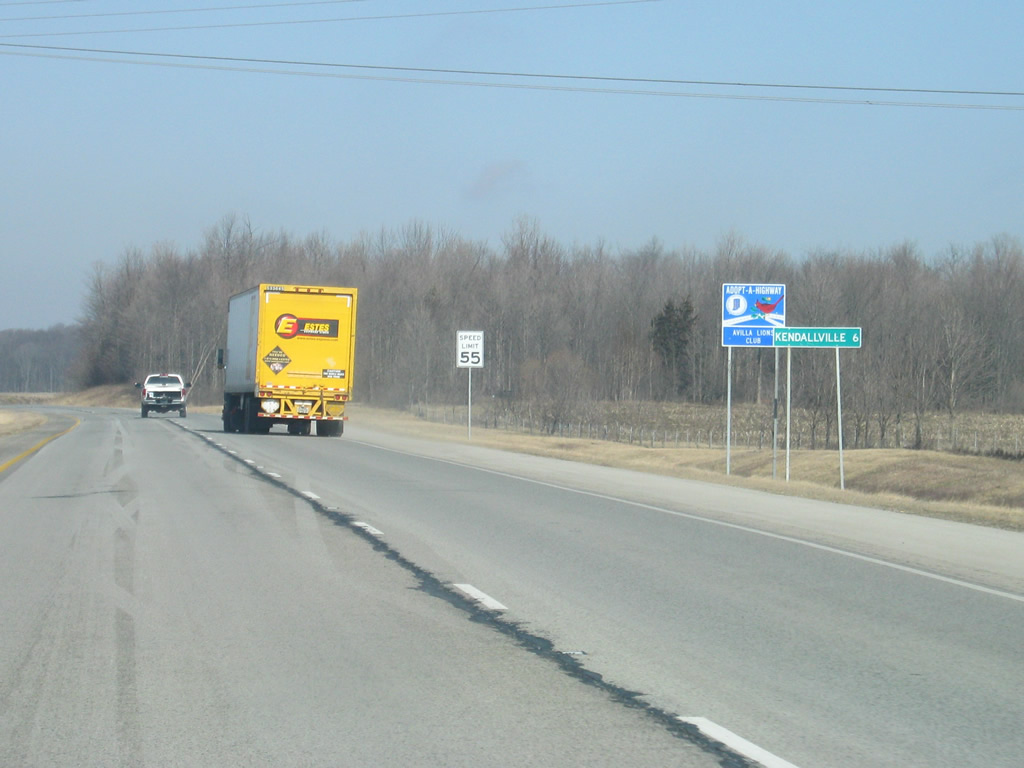
| North of the intersection with SR 8 east, SR 3 shares a 2 mile multiplex with SR 8 west around the town of Avilla. Kendallville, the next community along SR 3, is six miles away. 02/06/12 |
|
| SR 3 north & SR 8 west at the junction with County Road 1000 East, which heads south back into Avilla. 02/06/12 |
|
| Old State Road 3 returns from the south through Avilla to rejoin SR 3 & 8. 02/06/12 |
|
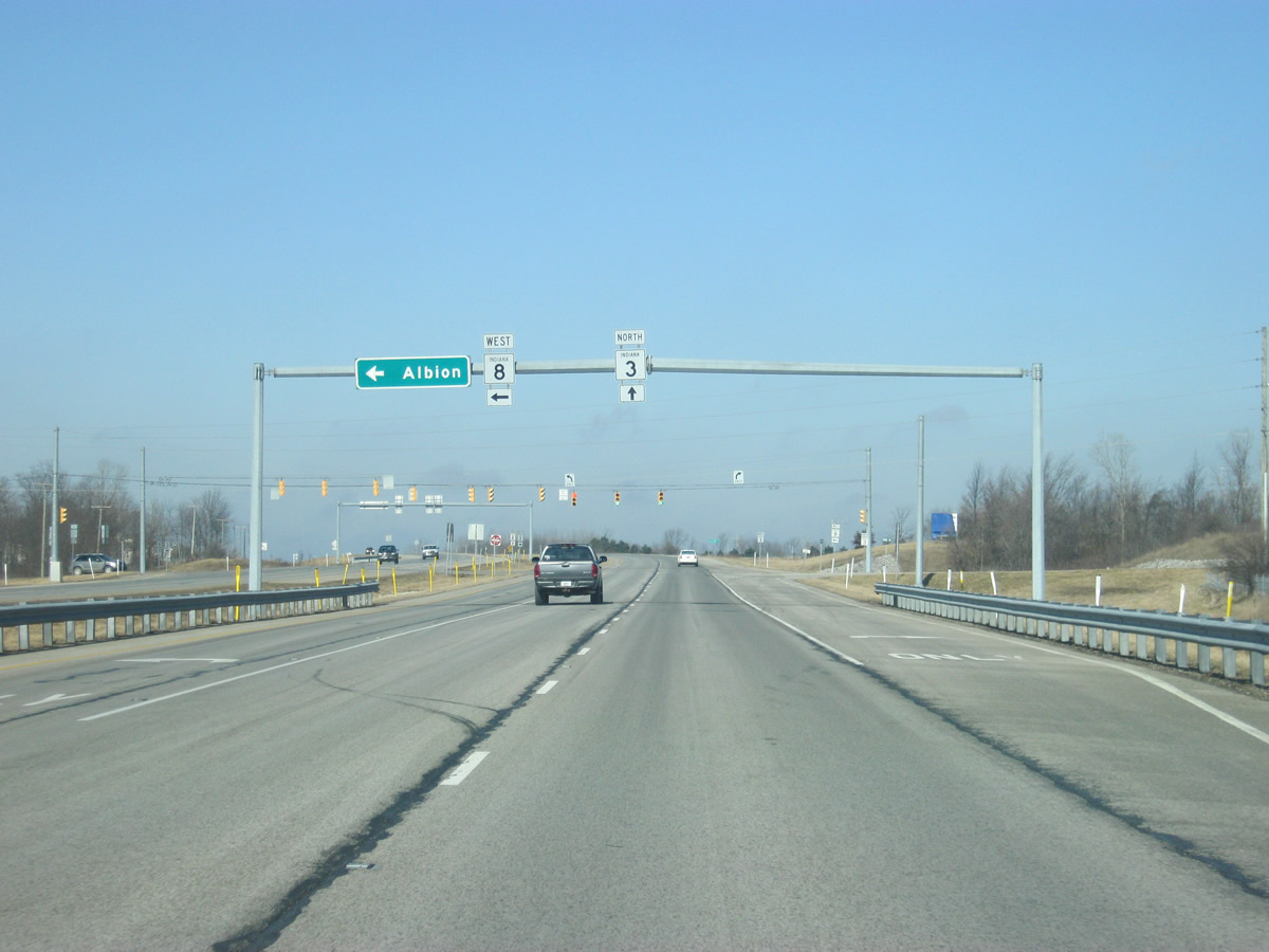
| SR 8 splits toward the west as it makes a eight mile journey to the Noble County seat of Albion. 02/06/12 |
|
| North of the split with SR 8 west, SR 3 is only three miles away of Kendallville. 02/06/12 |
|
| A view of the SR 3 expressway nearing the city of Kendallville. 02/06/12 |
|
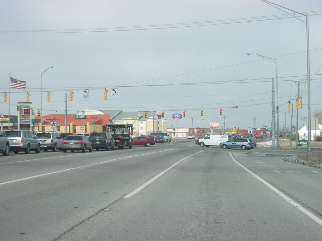
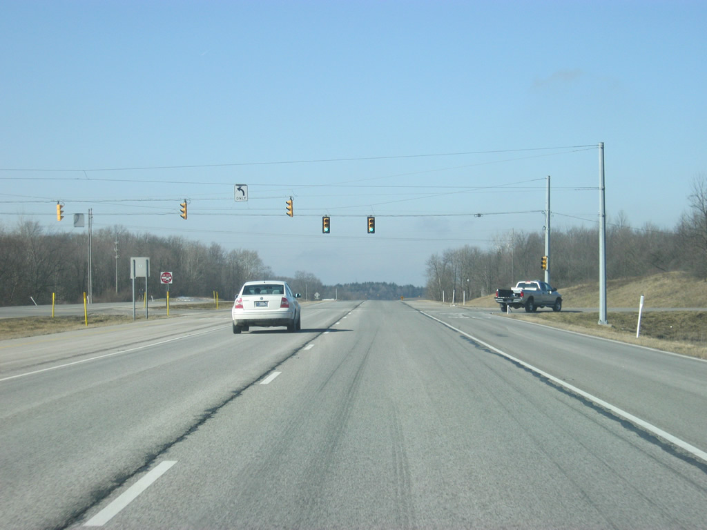
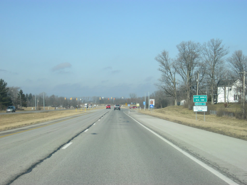
| SR 3 approaches the intersection with Main Street, which leads into the central business district of Kendallville (population 9,862). Even though Albion is the county seat for Noble County, Kendallville is by far the largest community. Main Street represents the original routing of SR 3 town. 02/06/12 |
|
| North of the Main Street intersection, SR 3 begins its western bypass of the city of Kendallville. The bypass was finished in 1974 as a two lane highway and was expanded to four lanes in the 1990s. 02/06/12 |
|
| Drake Road stems west from Main Street and the southern part of Kendallville to cross SR 3 at this traffic light. 02/06/12 |
|
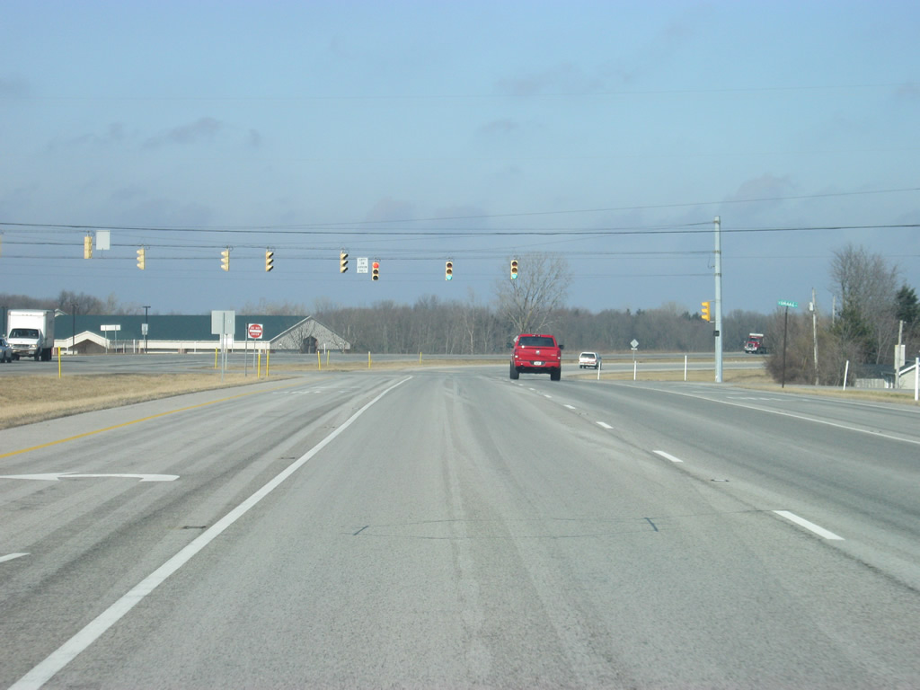
| North of Drake Road, SR 3 spans the busy Norfolk Southern railroad tracks. Beyond that crossing the four lane Kendallville bypass of SR 3 concludes at U.S. 6. The state road joins U.S. 6 to the east for a mile through the northern part of Kendallville. U.S. 6 west continues to the communities of Brimfield and Ligonier. 02/06/12 |
|
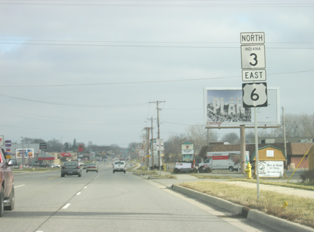
| Shields for U.S. 6 and SR 3 posted at the expressway end. U.S. 6 west continues to the communities of Brimfield and Ligonier. 12/27/10 |
|
| SR 3 follows U.S. 6, called North Street in town and given the name, the Grand Army of the Republic Highway. U.S. 6 crosses Indiana for 149 miles from Munster, and on through Portage, Westville, Nappanee, Ligonier, Kendallville and Waterloo before leaving into Ohio. Nationally, it travels for 3,205 miles from Bishop, California to Provincetown, Massachusetts. 12/27/10 |
|
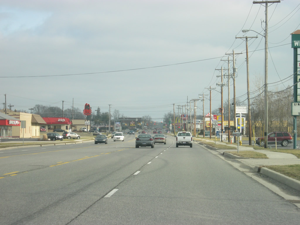
| SR 3 & U.S. 6 (North Street) through Kendallville consists of a four lane commercial arterial that is roughly a mile to the north of downtown Kendallville. The highway was rebuilt in the late 2000s and expanded to four lanes. 12/27/10 |
|
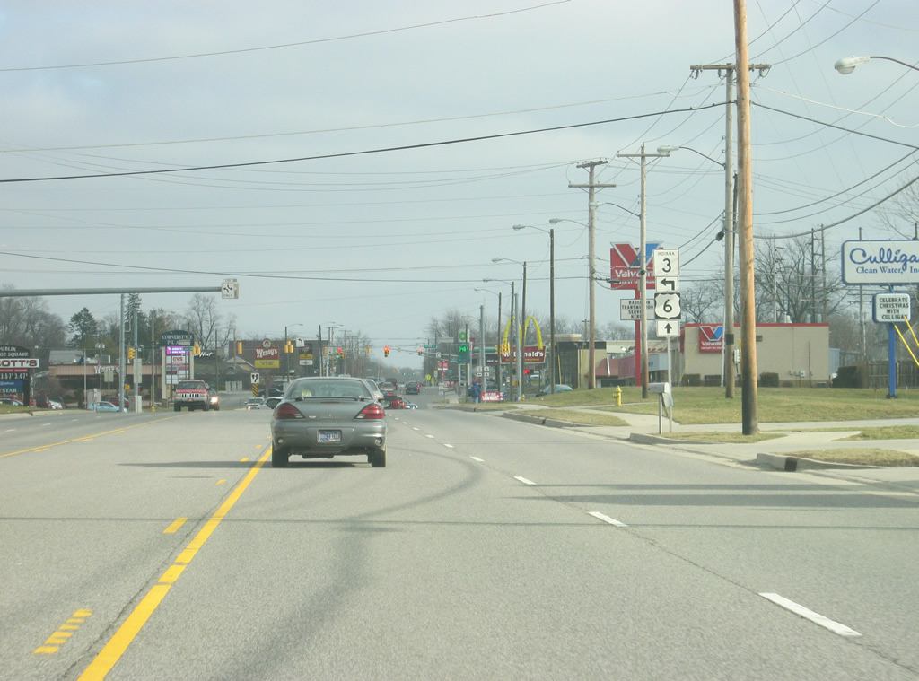
| Now approaching the point where SR 3 breaks off toward the north from U.S. 6 (North Street). 12/27/10 |
|
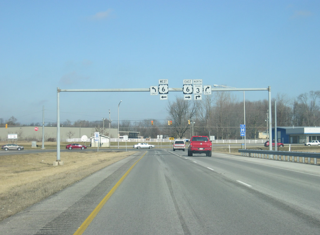
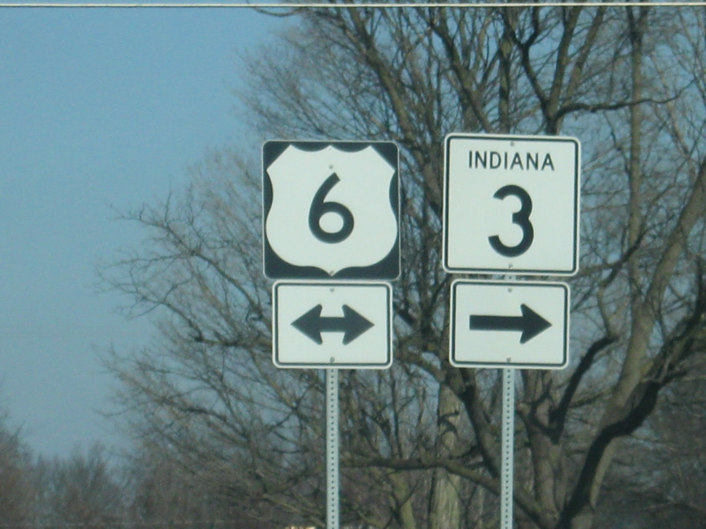
| SR 3 north and U.S. 6 north enter the intersection with Goodwin Place and split. Two blocks further east is Main Street, which used to be SR 3 southward toward downtown Kendallville. 12/27/10 |
|
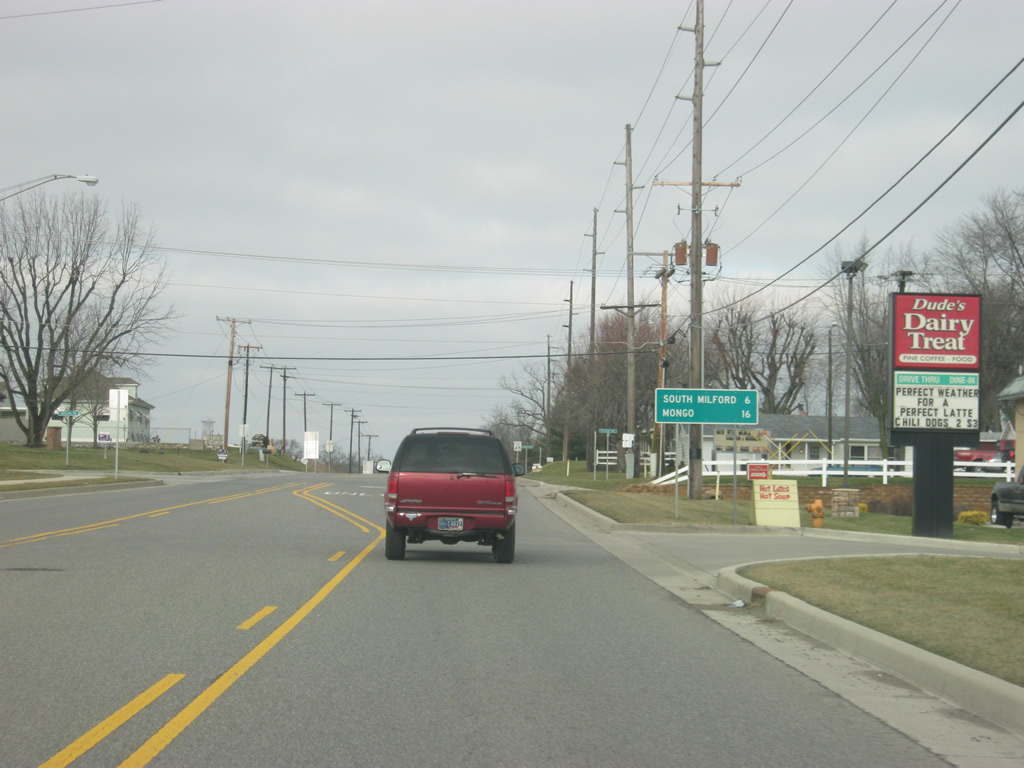
| North of Kendallville, SR 3 travels through only small towns with South Milford at six miles and Mongo at 16 miles. Just under 20 miles of SR 3 remain between U.S. 6 and its northern terminus at SR 120, north of Mongo in rural LaGrange County. 12/27/10 |
Page Updated 11-28-2012.


 east &