|
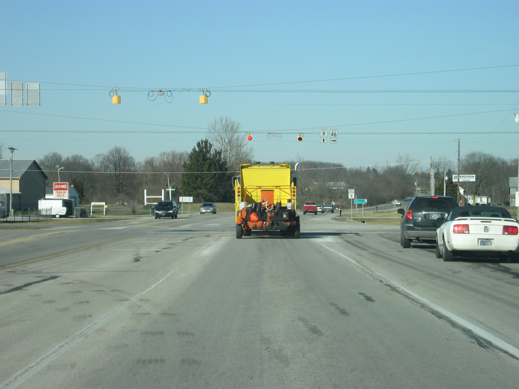
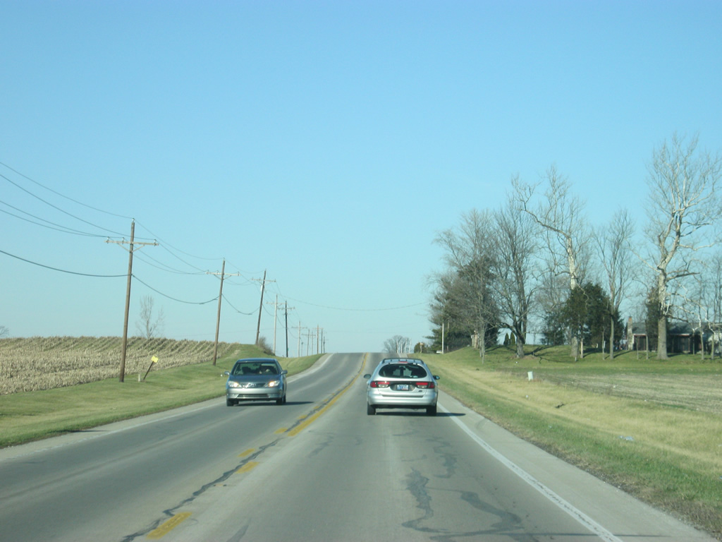
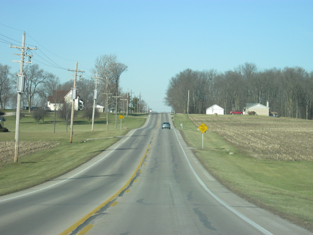
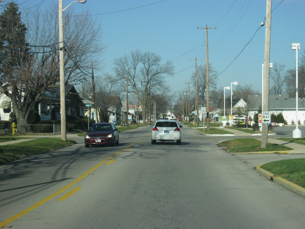
| SR 9 begins at the intersection with SR 46 east and 25th Street. Until 2004, SR 9 had extended another seven miles to the south to U.S. 31, but the rerouting of SR 46 through Columbus moved the highway onto SR 9's path, moving the southern end up to this point. 25th Street, which used to be SR 46 before the reroute heads into Columbus. 04/15/11 |
|
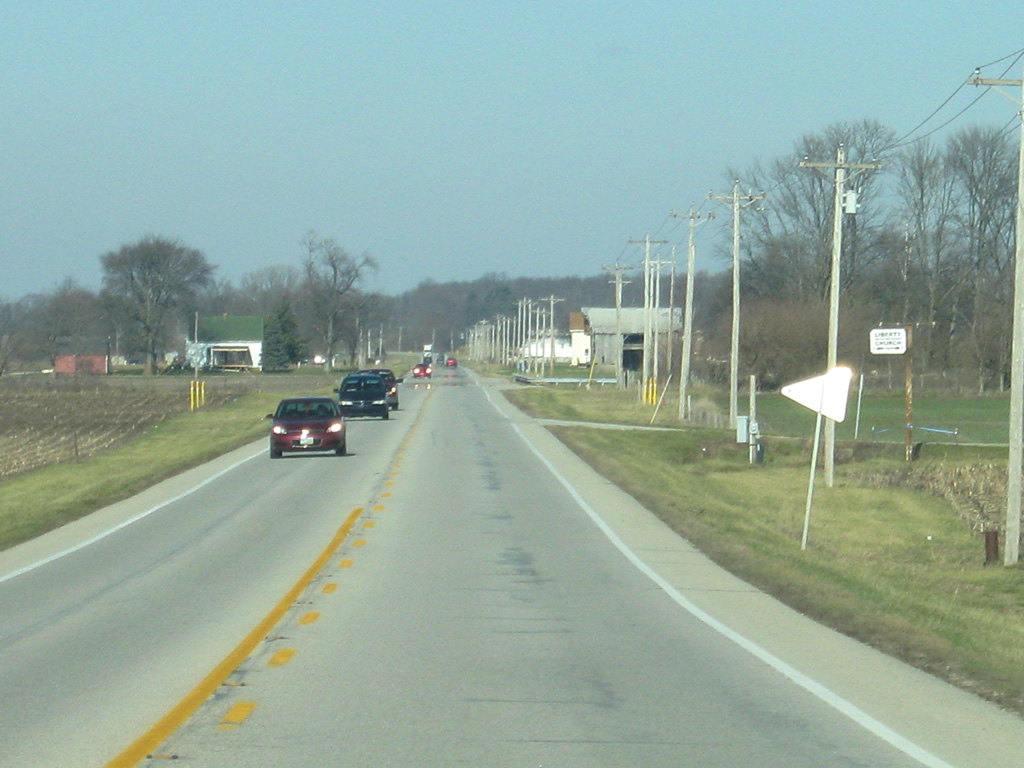
| North of the junction with SR 46 east/25th Street, SR 9 heads to its first two communities, Hope (five miles away) and Shelbyville (22 miles away). 04/15/11 |
|
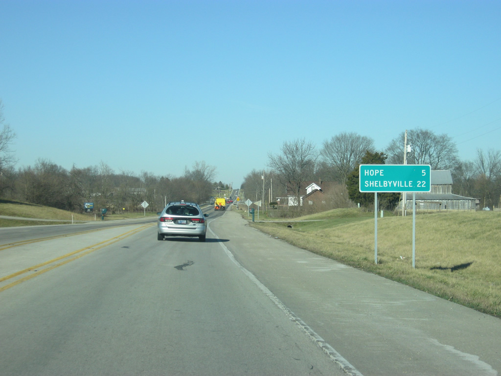
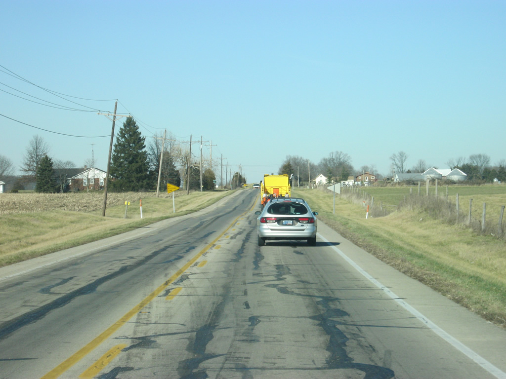
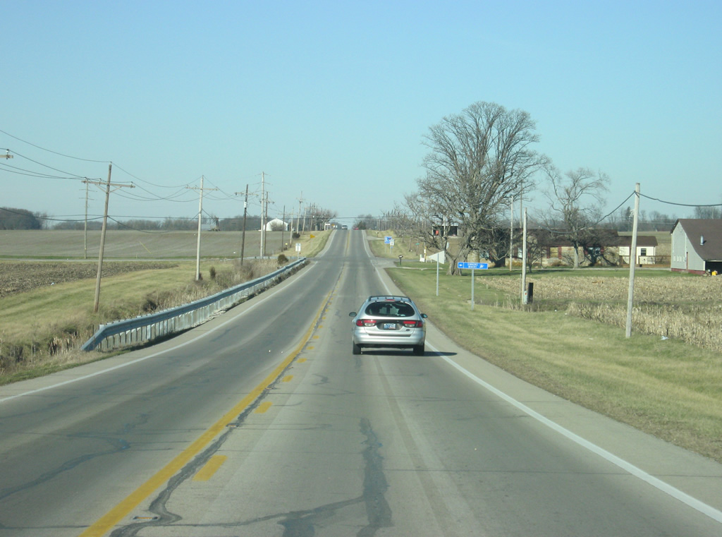
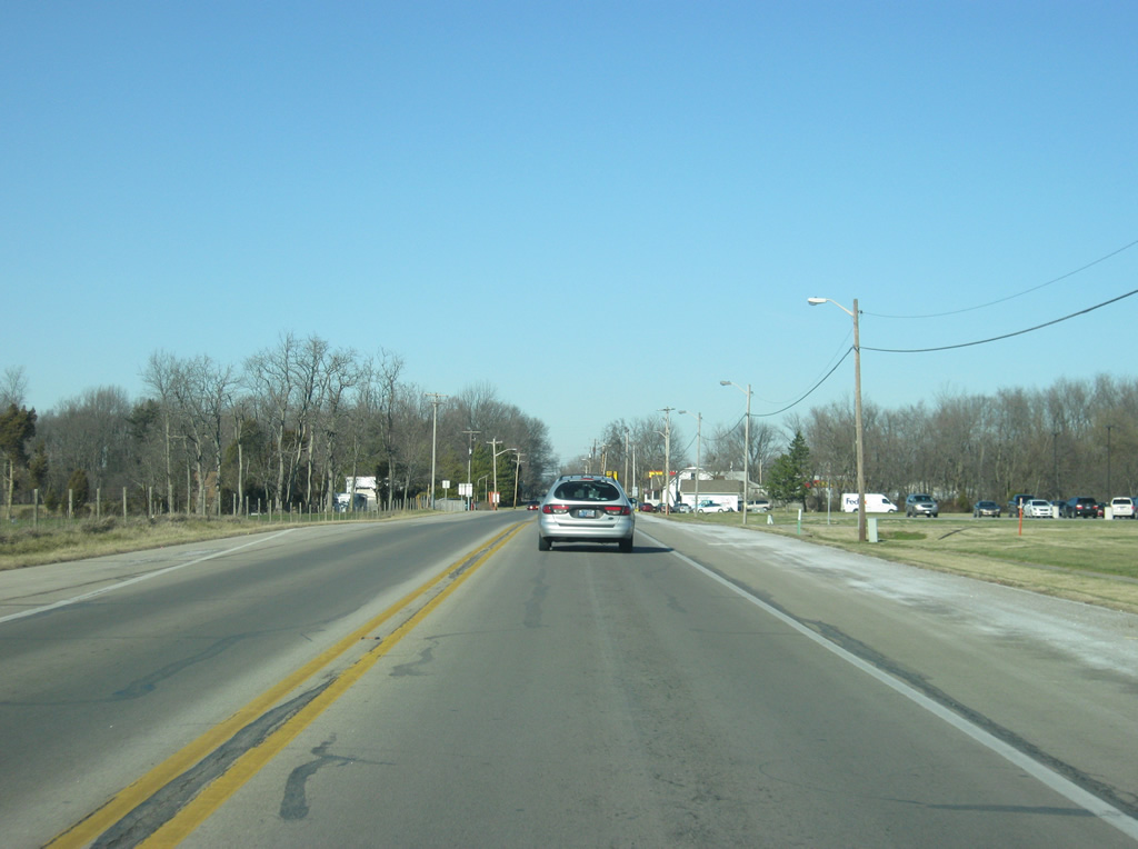
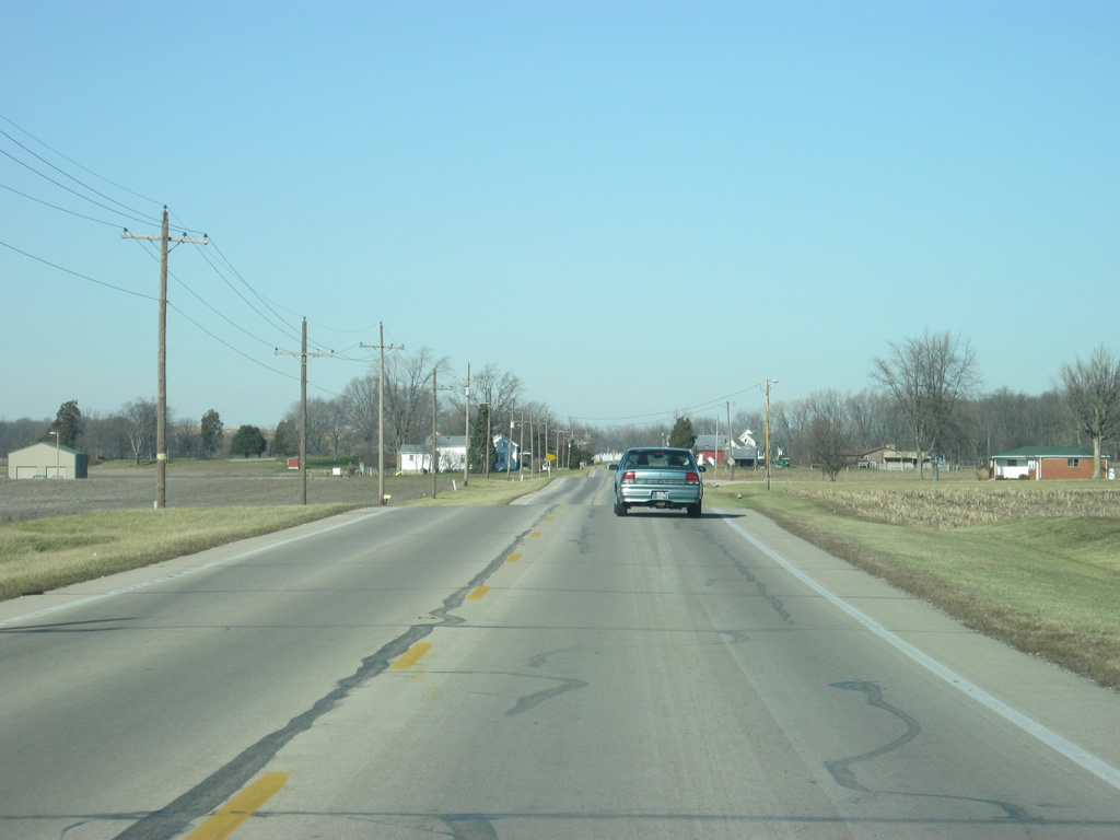
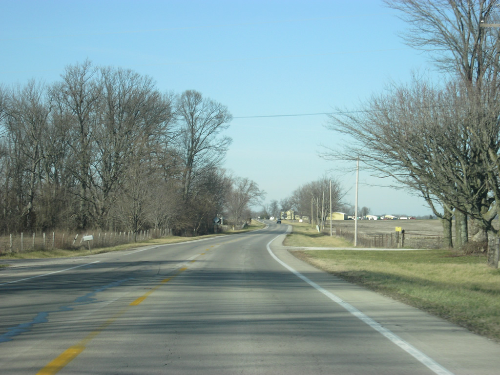
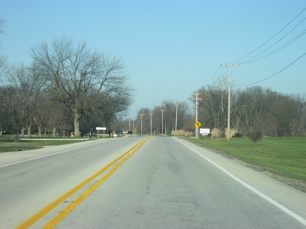
| The first few miles of SR 9 are spent through generally rolling farmlands that are common in eastern Bartholomew County. 04/15/11 |
|
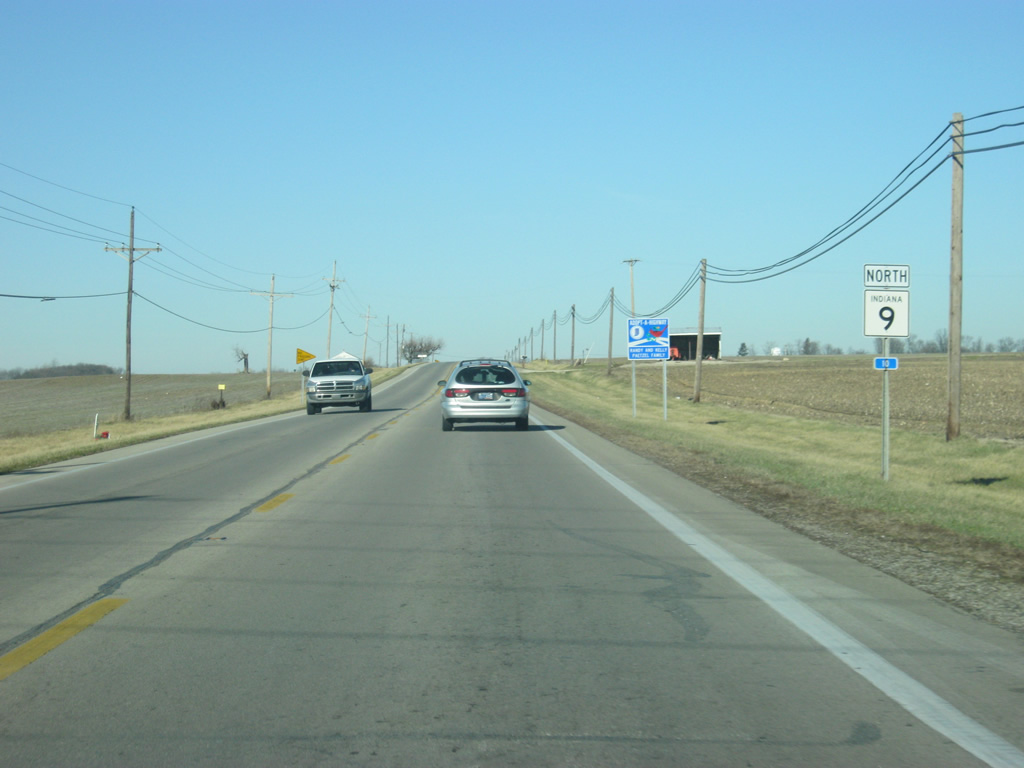
| A reassurance shield for SR 9 approaching the town of Hope. Note the small blue mile marker below the highway shield. The mile marker reads that this is the ten mile point for SR 9, which comes from when the southern terminus was at U.S. 31. Today, we are merely three miles from the start of the highway. 04/15/11 |
|
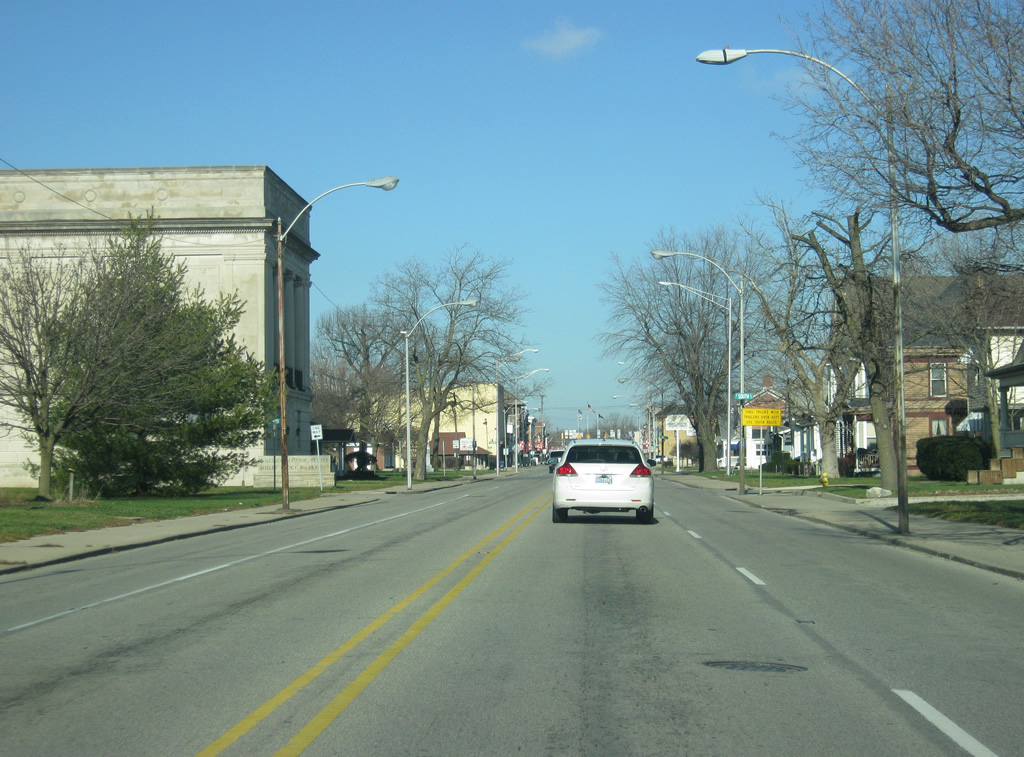
| SR 9 enters the town of Hope, located in northeastern Bartholomew County. 04/15/11 |
|
| SR 9 passes through some light retail and industrial zones as well as the Hauser Junior-Senior High School on the southern fringes of Hope as it heads toward the main part of the community. 04/15/11 |
|
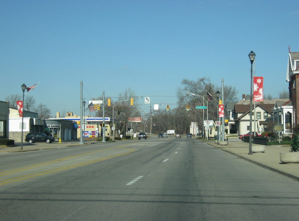
| SR 9 enters the main part of the town of Hope and carries the name of Main Street. 04/15/11 |
|
| Now entering the central part of the town of Hope along SR 9 (Main Street). 04/15/11 |
|
| Older storefronts abut the west side of SR 9 (Main Street) through the heart of Hope. On the east side of the road is the Hope Town Square, a park that behaves like a courthouse square despite Hope not being one. 04/15/11 |
|
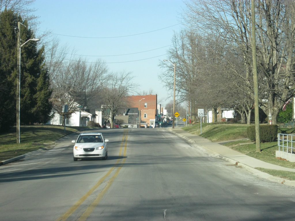
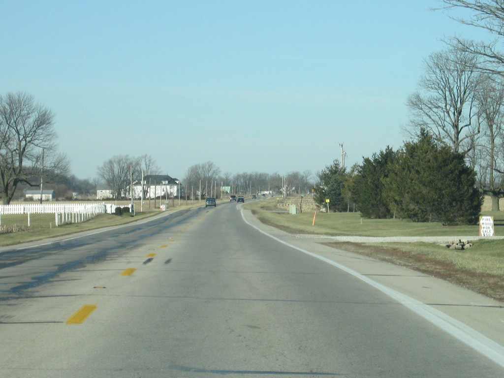
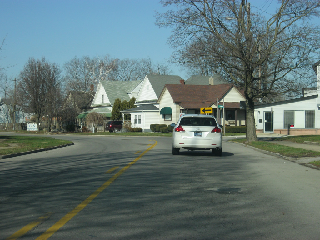
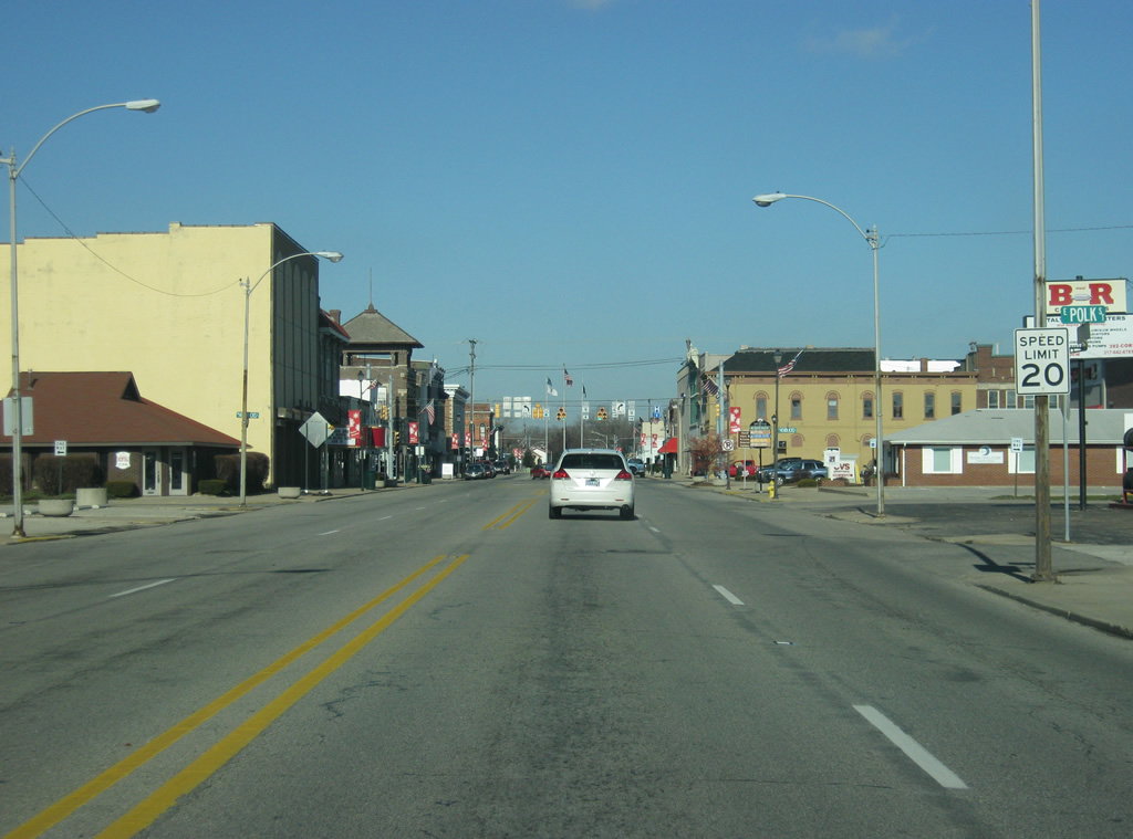
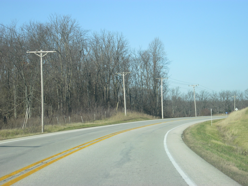
| North of central Hope, SR 9 quickly resumes its rural trek north toward Shelby County. 04/15/11 |
|
| SR 9 enters Shelby County (population 44,436) and the Indianapolis Metropolitan Area. Despite that, the highway will remain rural with the exception of the towns of Shelbyville, Greenfield and Pendleton. 04/15/11 |
|
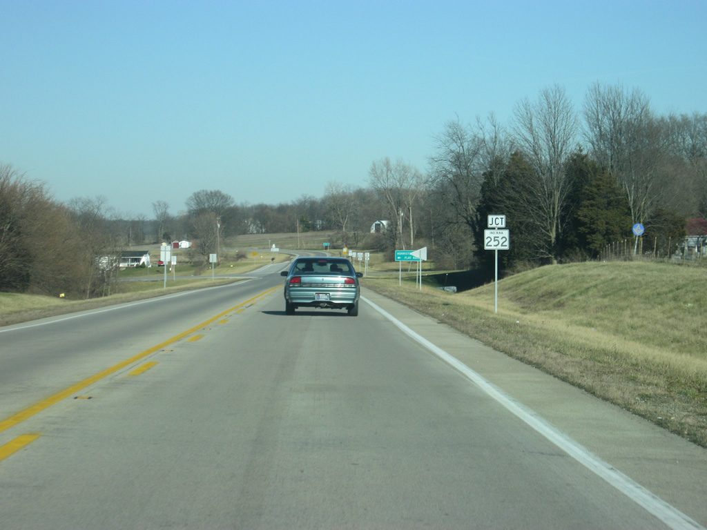
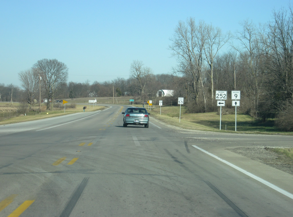
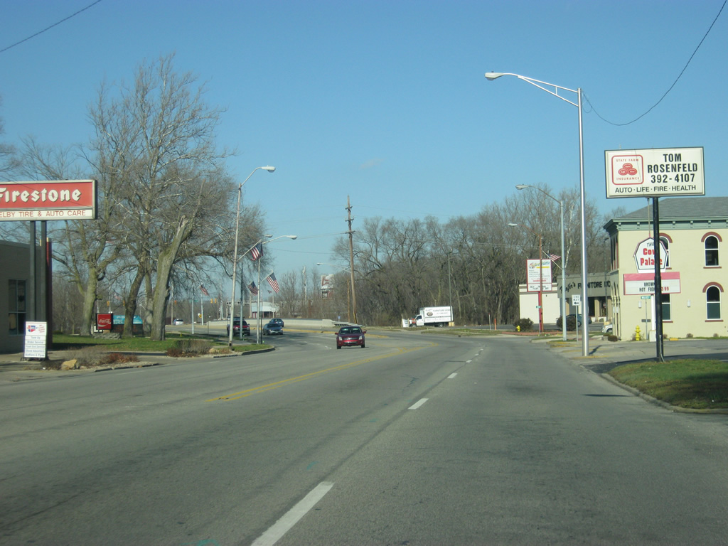
| Just north of the county line, SR 9 approaches its first state highway junction since leaving SR 46. SR 252 exists in two segments stretching out to 50 miles in totality. The eastern segment goes for 11 miles from U.S. 52/SR 1 in Brookville east to the Ohio state line. The western segment begins here at SR 9 and heads west for 39 miles to its western terminus at SR 37 in Martinsville. 04/15/11 |
|
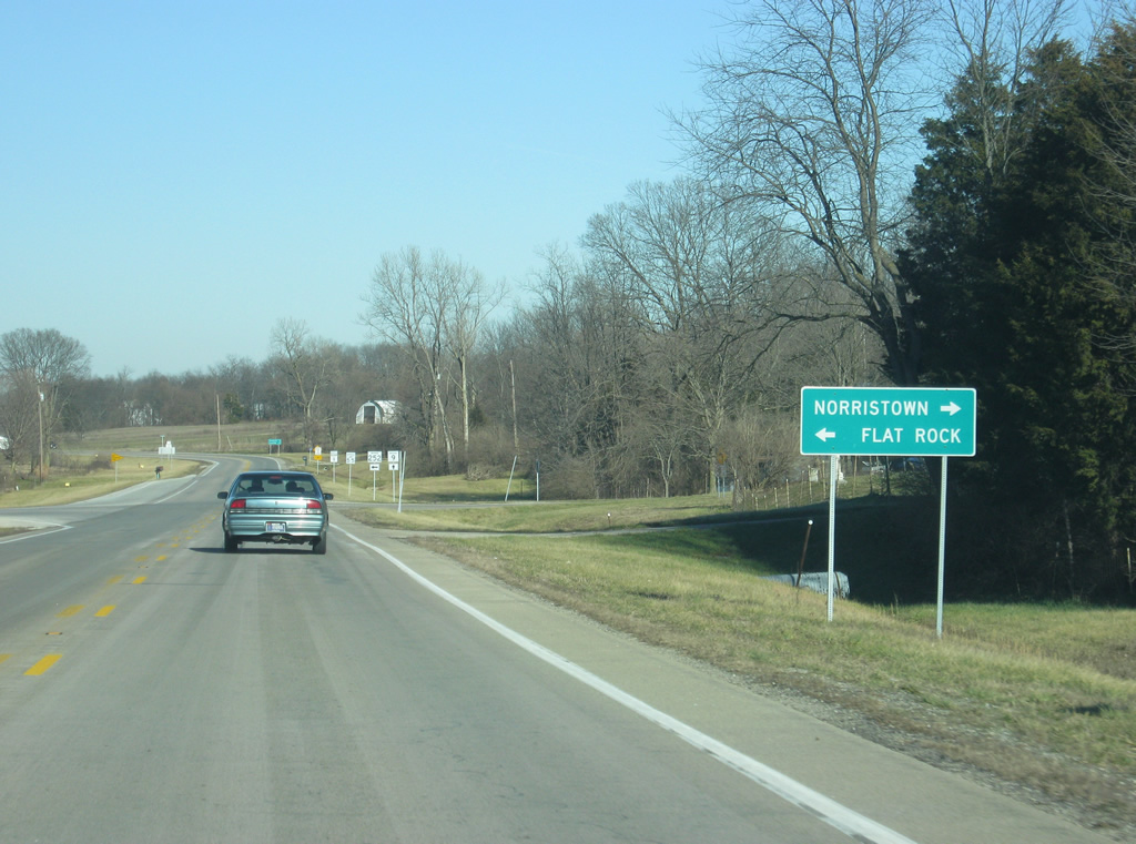
| The town of Flat Rock is a couple of miles to the west along SR 252, with Edinburgh and Interstate 65 only seven miles away. Norristown, accessible via County Road 1100 South, is just east of the junction with SR 9. 04/15/11 |
|
| Now at the junction with SR 252 west and SR 9. Until 2006, SR 252 only went as far as Flat Rock, where a county road connected the town with SR 9. At that point, INDOT improved that county road and made it an extension of SR 252 to connect it with SR 9. 04/15/11 |
|
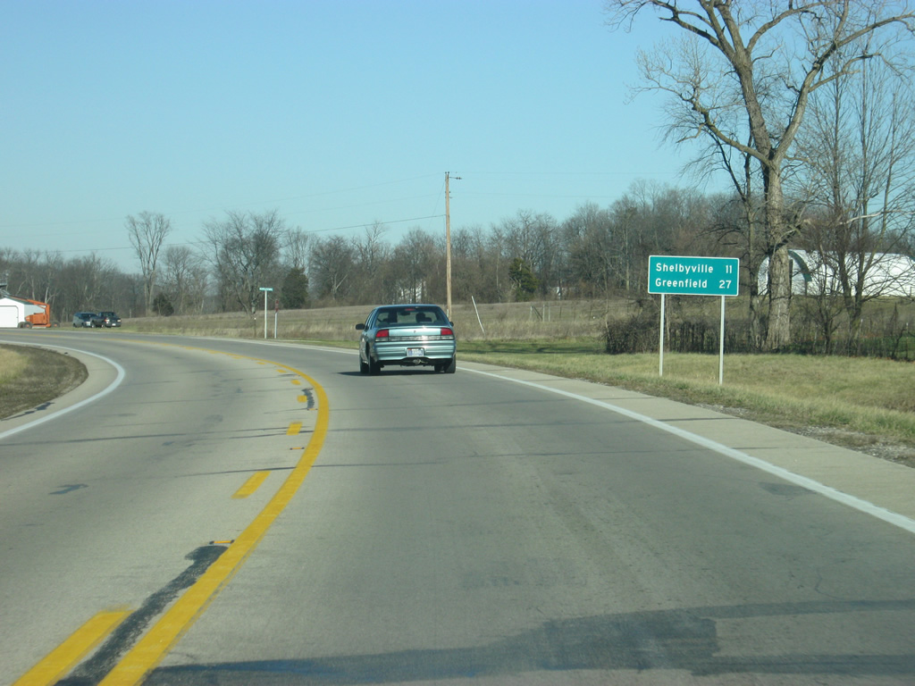
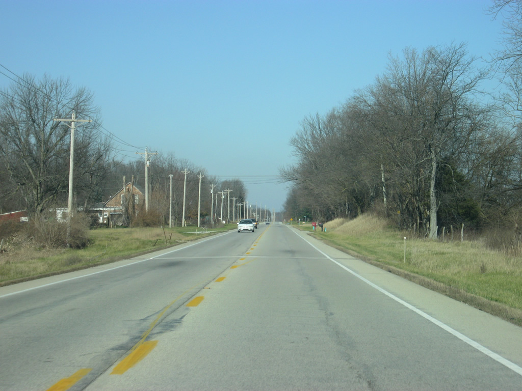
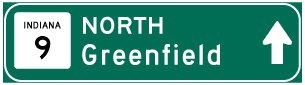
| North of the junction with SR 252 west, SR 9 is now 11 miles from the Shelby County seat of Shelbyville and 27 miles from the Hancock County seat of Greenfield. 04/15/11 |
|
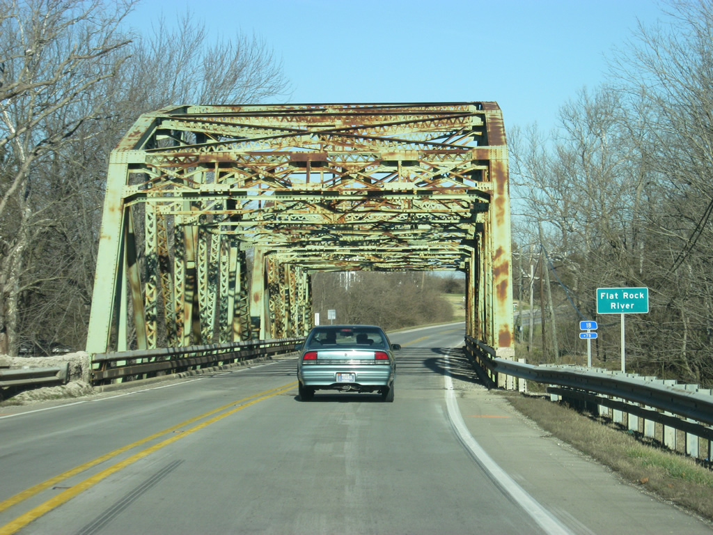
| SR 9 crosses a truss bridge over the Flatrock River. The bridge dates back to 1940 and was rehabbed in the 1970s. Despite calls for INDOT to dismantle the bridge, it still remains as of 2011. 04/05/11 |
|
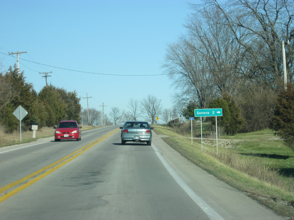
| North of the Flatrock River bridge, Vandalia Road heads east along Flatrock River to the town of Geneva, two miles away. 04/05/11 |
|
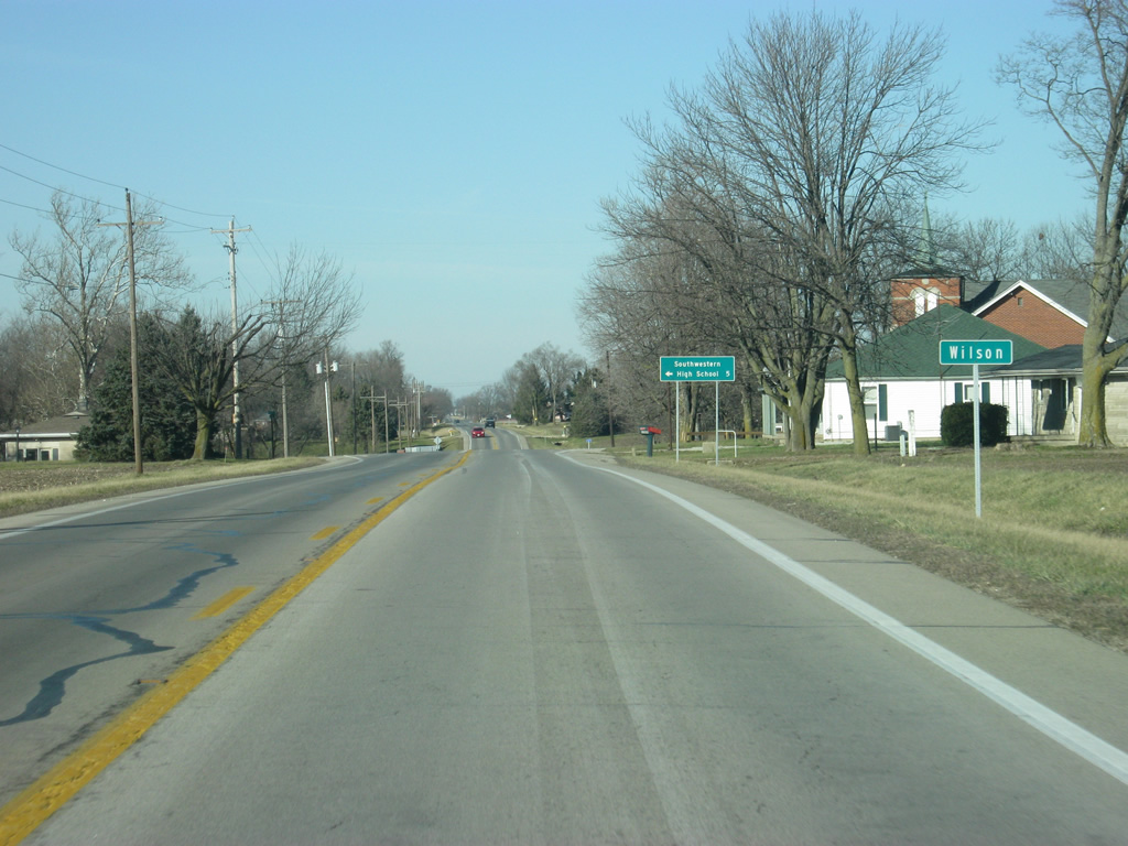
| SR 9 angles back toward the north as it passes through the small town of Wilson. Southwestern High School is five miles to the west along County Road 600 South. 04/05/11 |
|
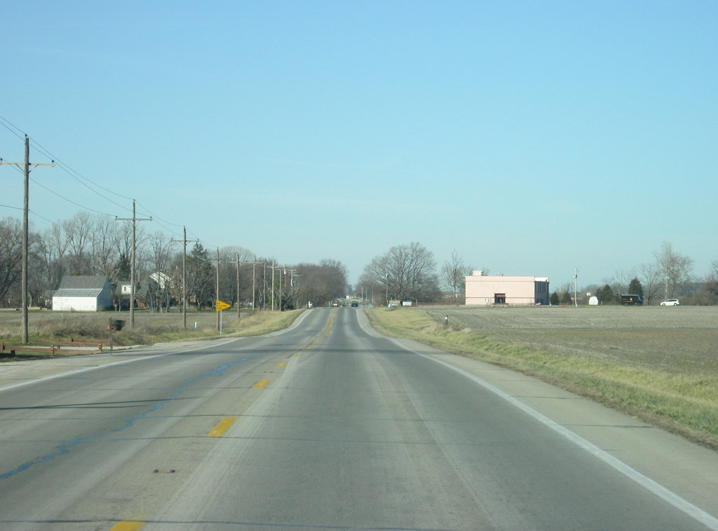
| North of Wilson, it's only a few more miles before SR 9 enters the Shelbyville area. 04/05/11 |
|
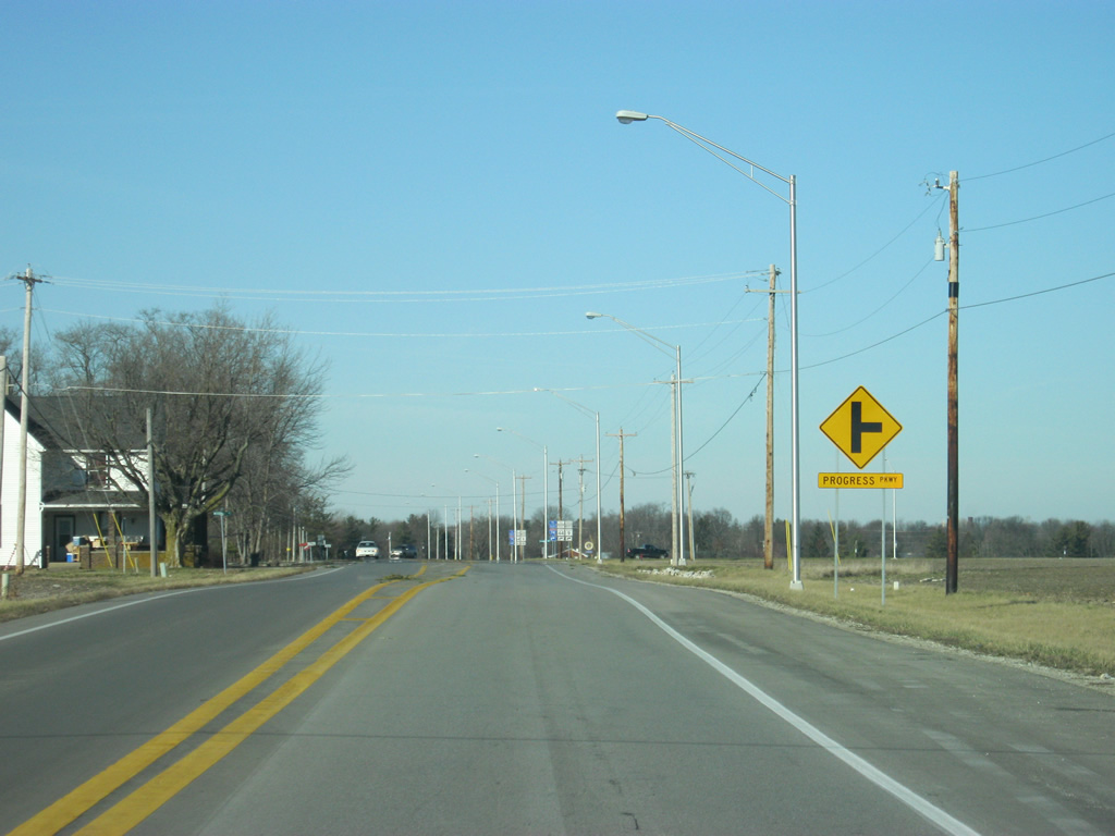
| SR 9 approaches the intersection with Progress Parkway. Completed in 2010, the two lane road bypasses Shelbyville to the southeast and connects SR 9 with SR 44 near its interchange with Interstate 74. 04/05/11 |
|
| Trucks that are heading through Shelbyville are directed to take Progress Parkway north to SR 44 and then use Interstate 74 north to its interchange with SR 9 on the far north side of town. This bypass was needed to move trucks out of the center of Shelbyville because of the Public Square traffic circle in the downtown. 04/05/11 |
|
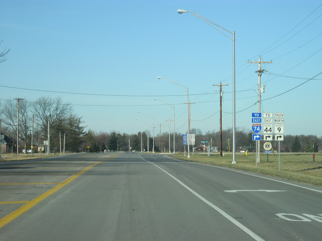
| Now at the intersection with SR 9 and Progress Parkway. Those heading toward eastbound SR 44 and Interstate 74 should use Progress Parkway. Those heading to Interstate 74 west or SR 44 west should continue straight on SR 9. 12/19/11 |
|
| SR 9 becomes more suburban in nature as the highway enters the Shelbyville area. 12/19/11 |
|
| Nearing the intersection with McKay Road, SR 9 enters the city of Shelbyville (population 19,191). Shelbyville is best known as the birthplace of United States Vice President Thomas Hendricks, as well as the tallest woman in the world, Sandy Allen. McKay Road takes travelers to SR 44 west on the southwest side of Shelbyville and to Progress Parkway on the southeast side. 12/19/11 |
|
| North of McKay Road, SR 9 (called Harrison Street in town) makes a turn to the left as it heads into the urbanized heart of Shelbyville. 12/19/11 |
|
| A view of SR 9 (Harrison Street) north of the intersection with Noble Street, where the highway turns toward a north-northwest direction. The scenery around the highway remains residential. 12/19/11 |
|
| SR 9 (Harrison Street) does another turn toward the west as it approaches the junction with SR 44 west (Colescott Street). 12/19/11 |
|
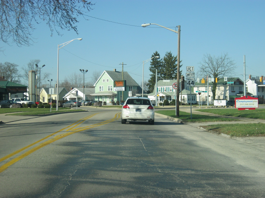
| SR 9 (Harrison Street) turns toward the north as it heads toward Downtown Shelbyville while the intersection with SR 44 west (Colescott Street) approaches. SR 44 goes for 90 miles from SR 37 in Martinsville and east through Franklin, Shelbyville, Rushville, Connersville and Liberty before crossing into Ohio. 12/19/11 |
|
| SR 44 eastbound will multiplex with northbound SR 9 for six blocks from this intersection north toward Downtown Shelbyville. To the west, Colescott Street takes SR 44 west to Miller Avenue, which carries the highway southwest to McKay Road, at which point the highway heads west toward Franklin and Interstate 65. 12/19/11 |
|
| North of the junction with SR 44 west (Colescott Street), SR 9 north/SR 44 east (Harrison Street) expand to four lanes for the multiplex of the two highways. A yellow advisory sign up ahead directs trucks to use the truck route to avoid the Public Square traffic circle up ahead. That truck route includes SR 44 east to Interstate 74 and then north back to SR 9. 12/19/11 |
|
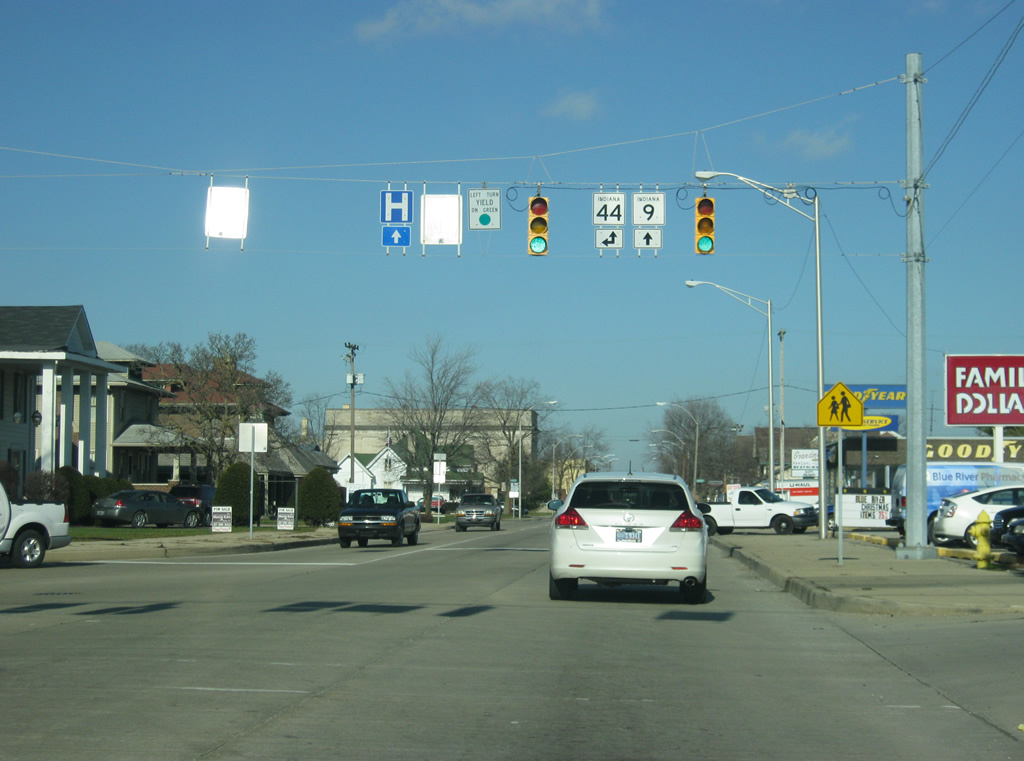
| A view of SR 9 north/SR 44 east (Harrison Street) approaching the intersection with Broadway Street, which carries SR 44 to the east. Downtown Shelbyville lies ahead north of Broadway Street. 12/19/11 |
|
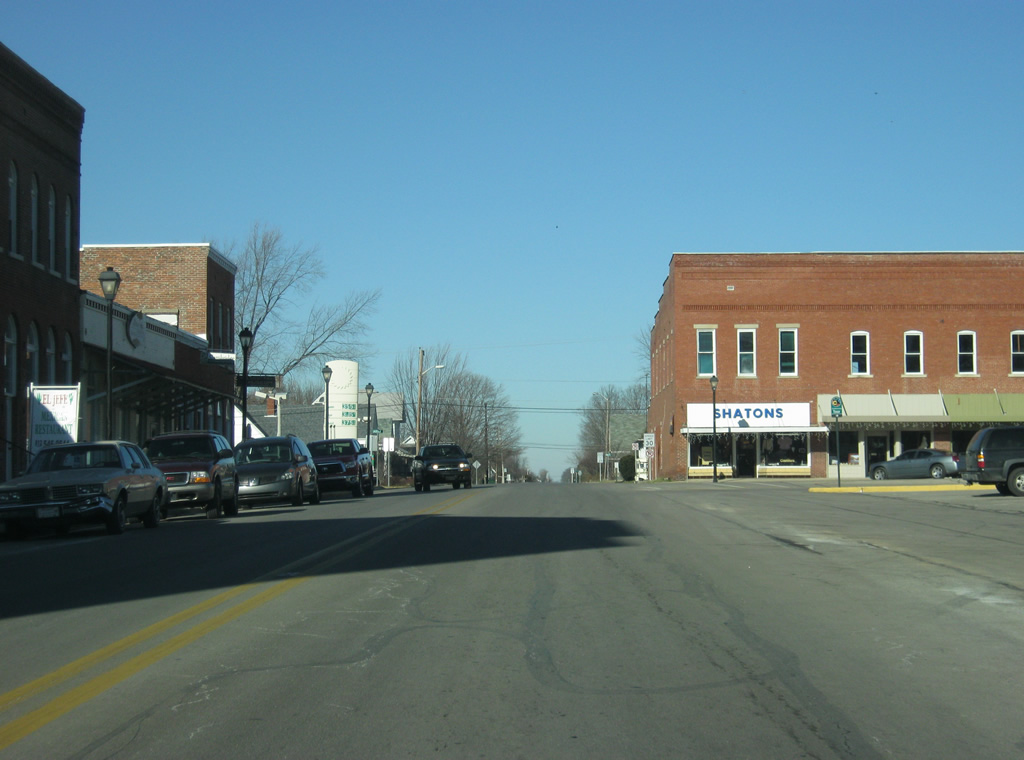
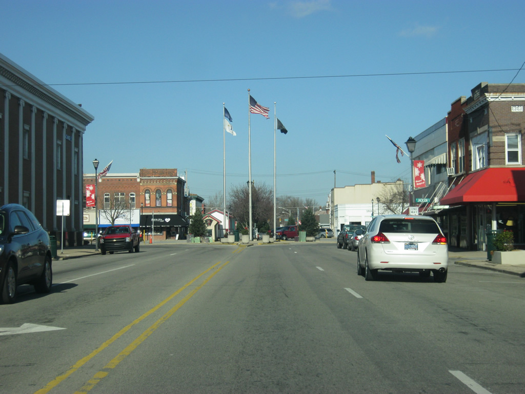
| Now at the intersection where SR 44 breaks off to the east to follow Broadway Street to the east toward Interstate 74 and Rushville. SR 9 (Harrison Street) continues north into the heart of Downtown Shelbyville. 12/19/11 |
|
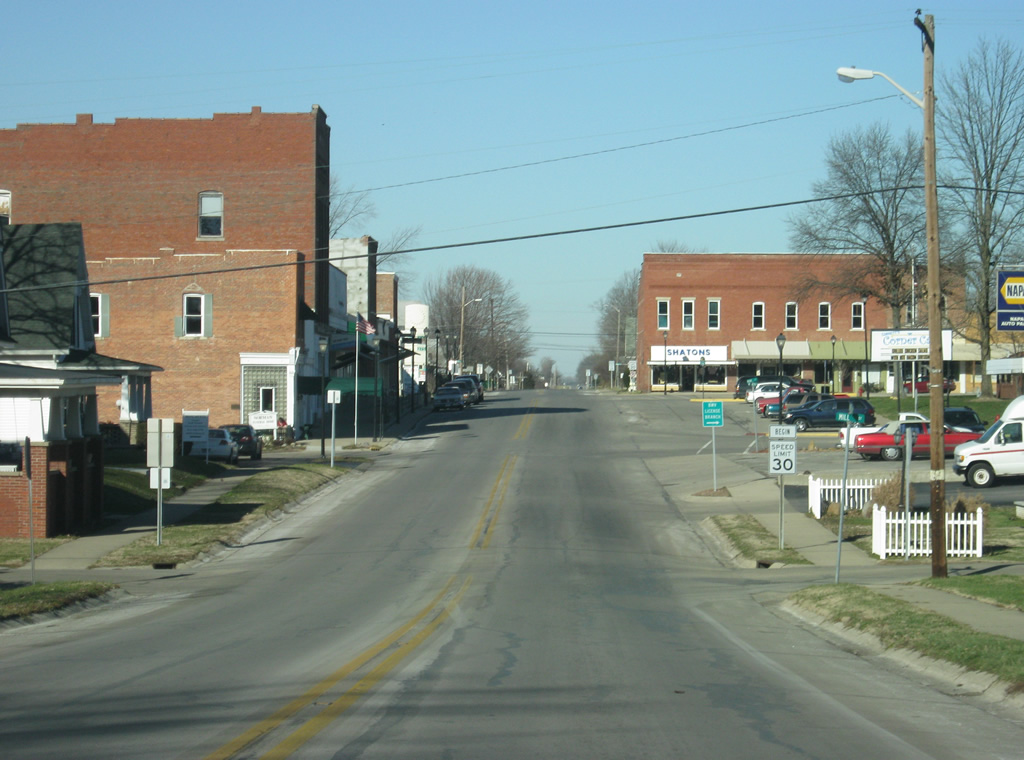
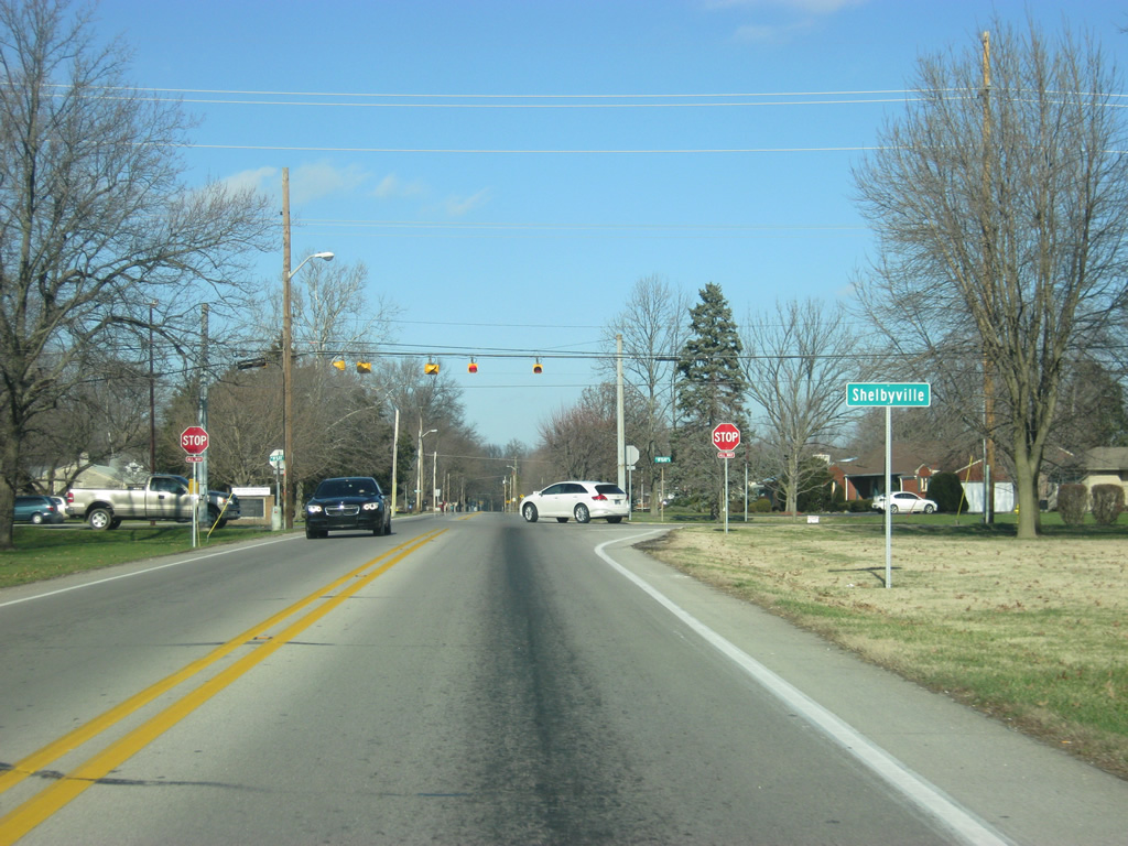
| North of the intersection with SR 44 east (Broadway Street), the Public Square traffic circle lies ahead. While many circles of this kind may contain parks or monuments or courthouses within them, this one has merely a parking lot to serve the businesses that surround the square. Two lanes of travel are maintained within the circle for SR 9 (Harrison Street) traffic. The Public Square traffic circle intersects with Washington Street at its western and eastern end. 12/19/11 |
|
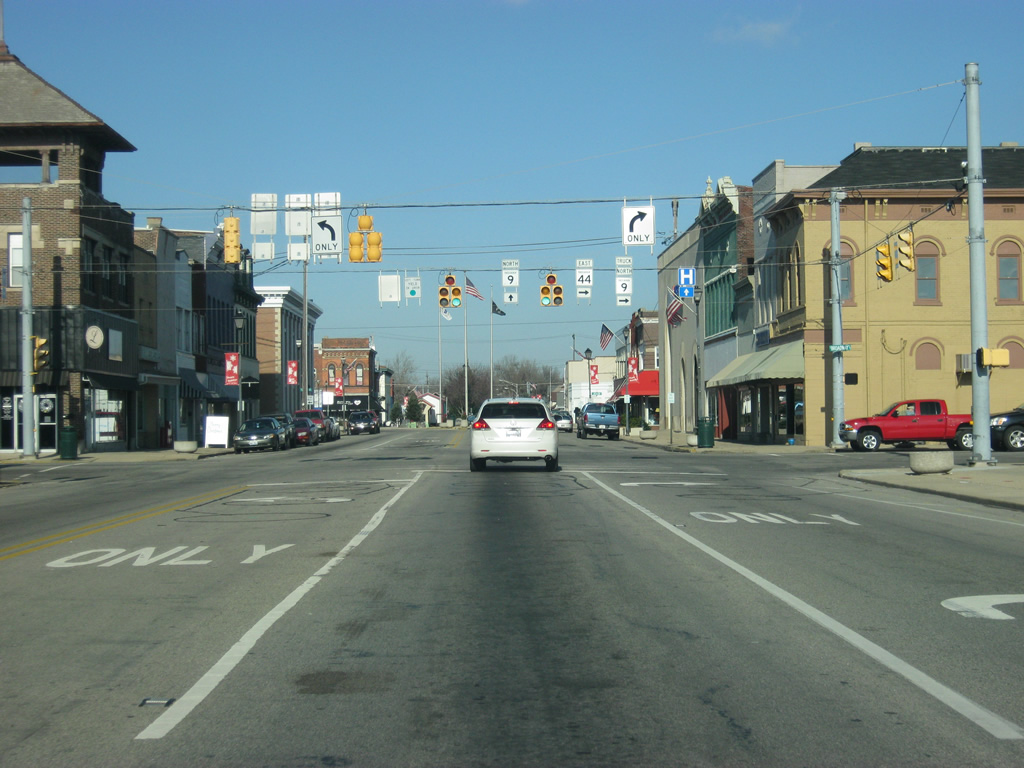
| SR 9 (Harrison Street) heads north from the Public Square traffic circle as a four lane road. Up ahead is the stoplight intersection with Mechanic Street. 12/19/11 |
|
| SR 9 (Harrison Street) prepares to leave the urbanized part of Shelbyville as the highway turns toward the northwest to cross the Big Blue River. 12/19/11 |
|
| Crossing the Big Blue River, the stoplight ahead is with Boggstown Road, which leads toward the town of Boggstown to the northwest of Shelbyville. 12/19/11 |
|
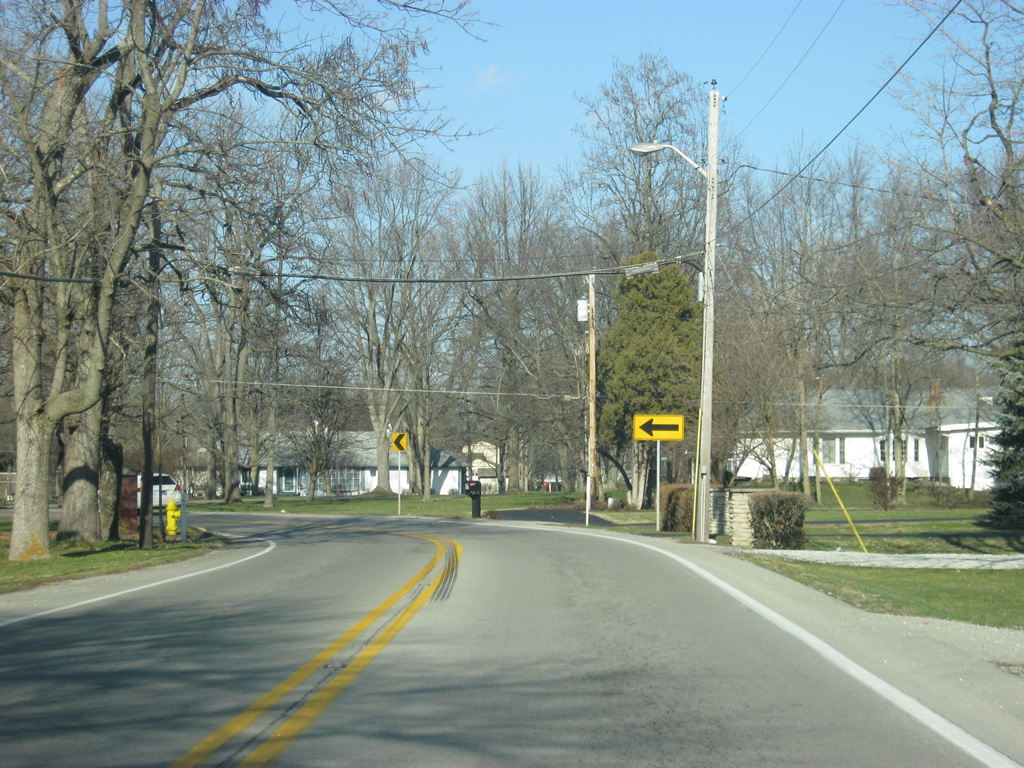
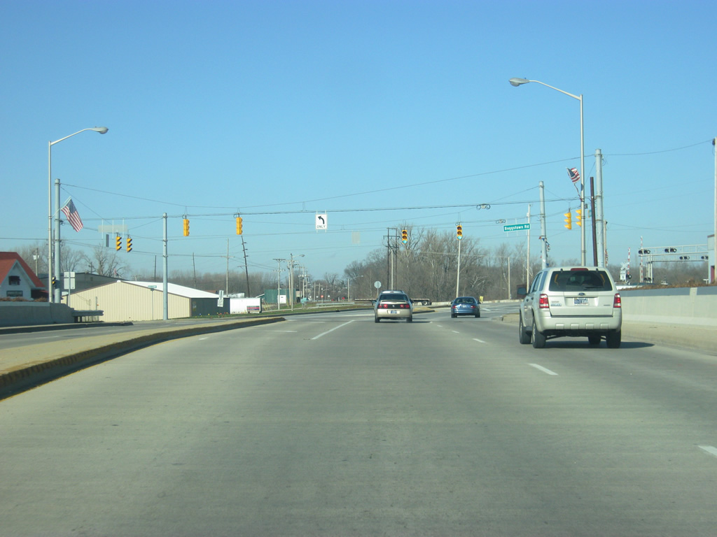
| North of the Boggstown Road intersection, SR 9 crosses a railroad track as it heads toward the northeast. The next stoplight is with Michigan Road, which used to be U.S. 421. Michigan Road heads to the northwest toward Fairland. 12/19/11 |
|
| North of the Michigan Road intersection, SR 9 (now called Riley Highway) heads north as a four lane facility toward the interchange with Interstate 74, providing the primary commuter artery between Shelbyville and the interstate. 12/19/11 |
|
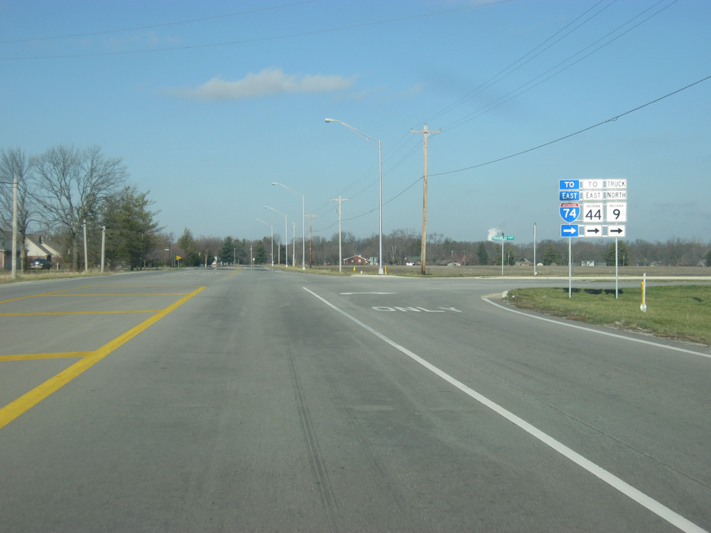
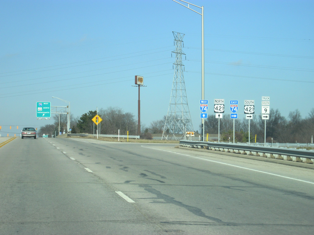
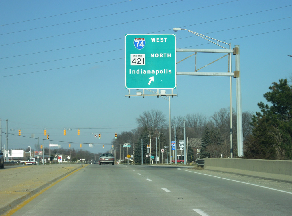
| A couple of miles north of Downtown Shelbyville, SR 9 (Riley Highway) approaches the intersection with Interstate 74/US. 421. Interstate 74 travels for 171.5 miles from the Illinois border near Danville, Illinois east past Crawfordsville, Indianapolis, Shelbyville and Greensburg before crossing into Ohio near Cincinnati. Nationally, the highway goes for 428.8 miles from Davenport, Iowa to Cincinnati, Ohio plus another section in North Carolina. 12/19/11 |
|
| To the right, the entrance ramp heads off toward the east onto Interstate 74/U.S. 421 east toward Greensburg and Cincinnati. U.S. 421 goes for 232 miles from Michigan City at Lake Michigan south through Frankfort, Indianapolis, Shelbyville, Greensburg, Versailles and Madison before it crosses into Kentucky. Nationally it goes for 941 miles southeast to Fort Fisher, North Carolina. 12/19/11 |
|
| Heading north across Interstate 74, traffic directed onto westbound Interstate 74 is directed to use a loop ramp. The capital city of Indianapolis is about 30 miles away from Shelbyville. Note the erroneous "SR 421" shield in place of what should be U.S. 421. 12/19/11 |
|
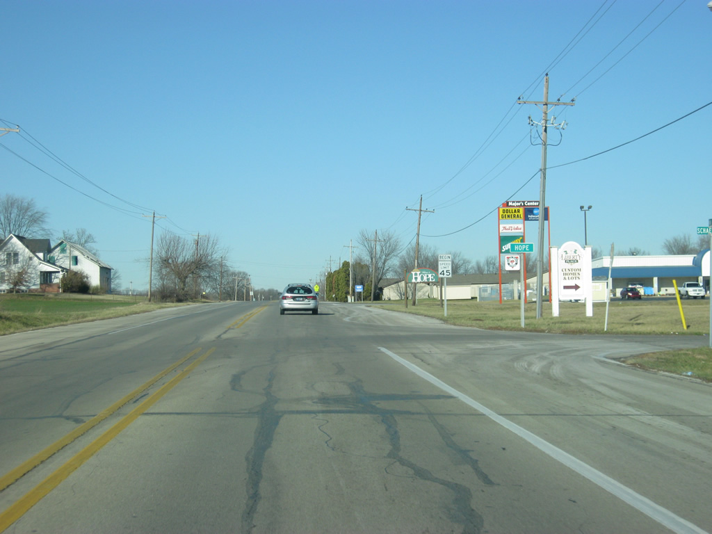
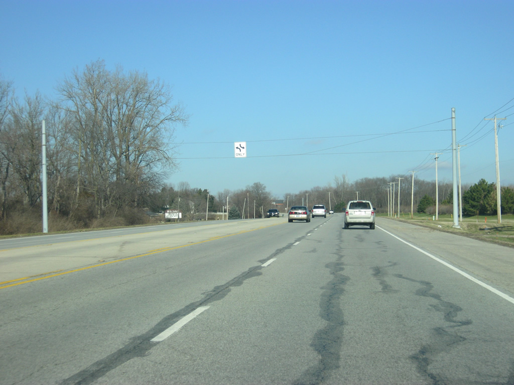
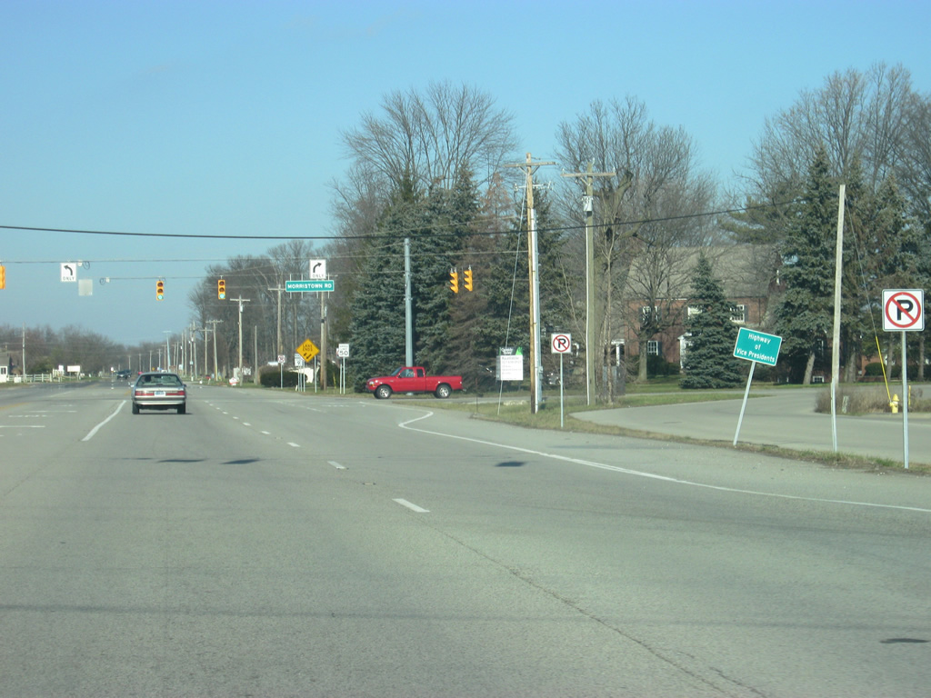
| A sign designates SR 9 as the Highway of the Vice Presidents, which is the name of the highway from Shelbyville north to Columbia City. SR 9 will go back to two lanes north of the stoplight intersection with Morristown Road. 12/19/11 |
|
| A view of SR 9 north of Bassett Road / County Road 250 North. 12/19/11 |
|
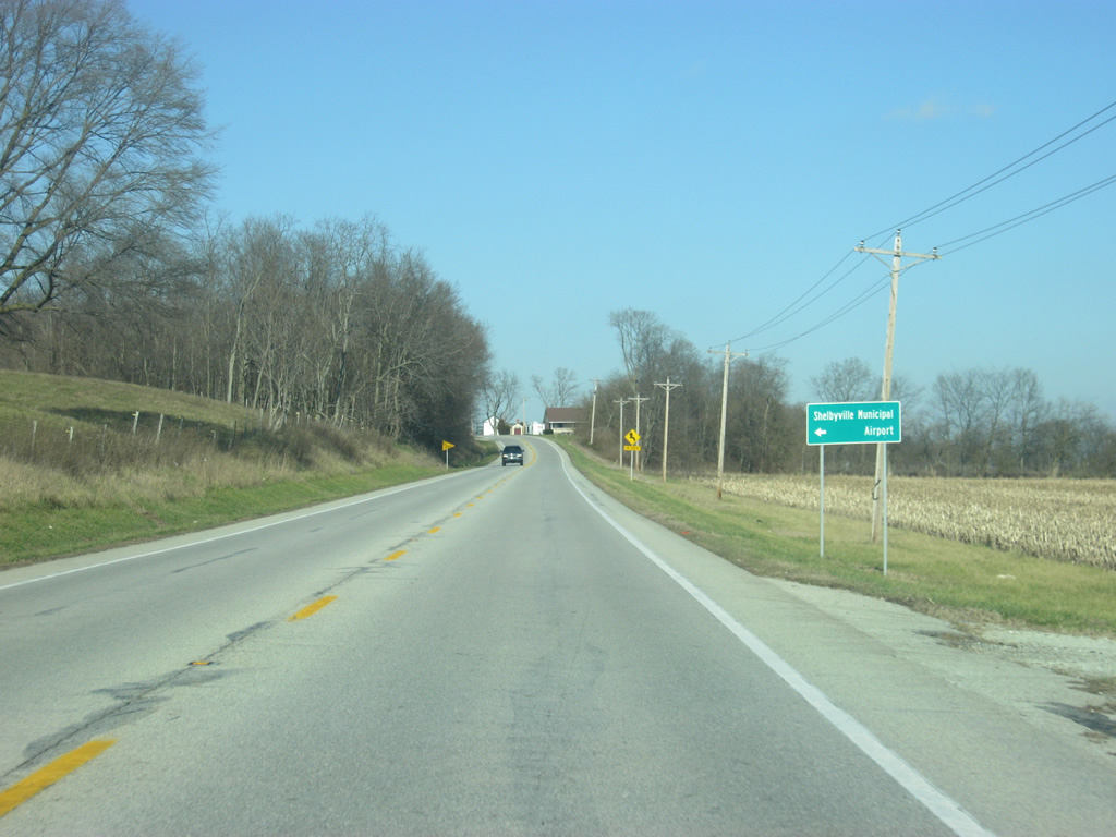
| Now at the intersection with SR 9 and County Road 350 North, leading toward the west to Shelbyville Municipal Airport. 12/19/11 |
|
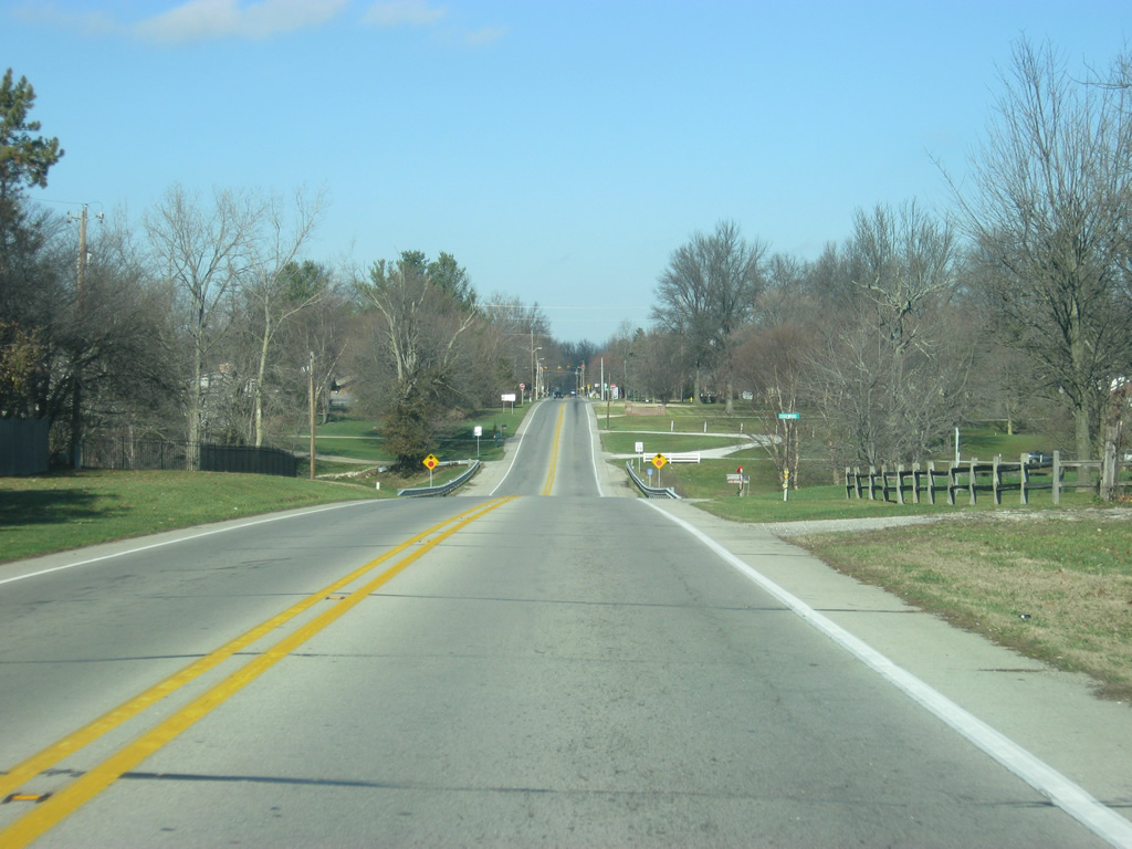
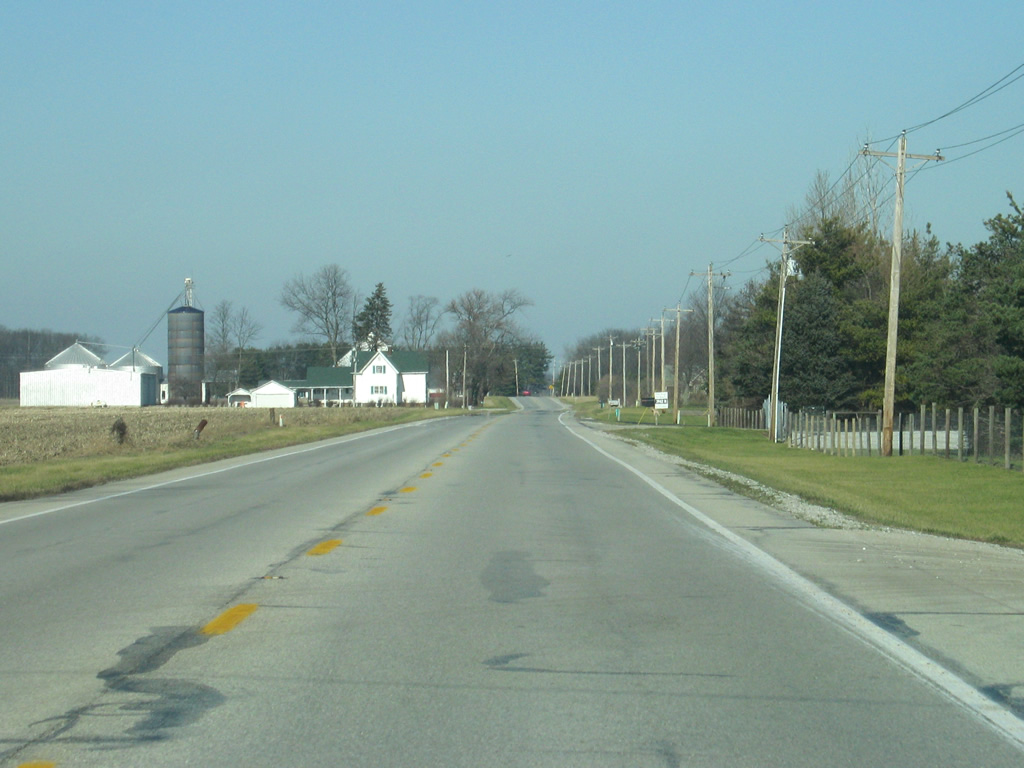
| SR 9 heads north across the northern half of Shelby County en route to Greenfield. There isn't much along the ten mile route journey from Interstate 74/U.S. 421 north to U.S. 52. 12/19/11 |
|
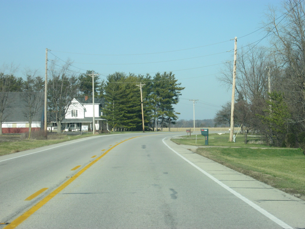
| Cutting a northern swath across more agricultural land beyond Hills Branch. Waters of Brandywine Creek flow parallel to SR 9 from County Road 750 North to near Fountaintown. 12/19/11 |
|
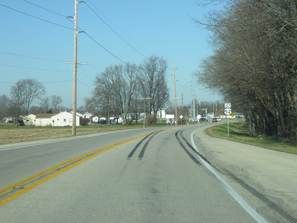
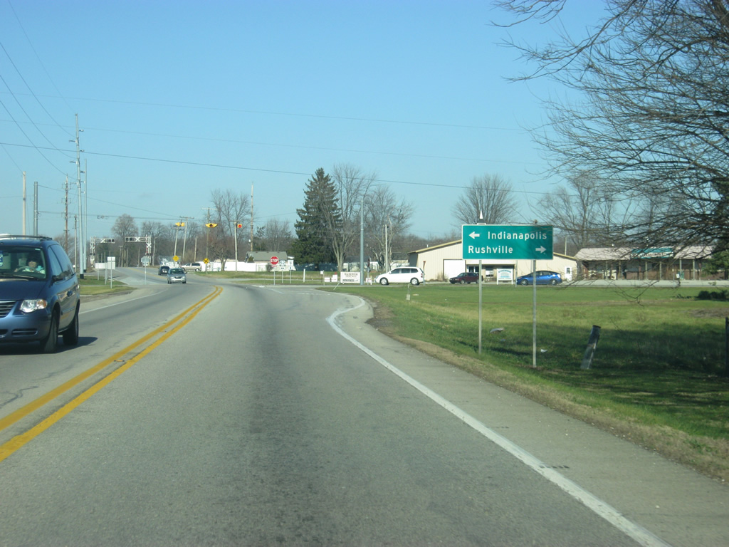
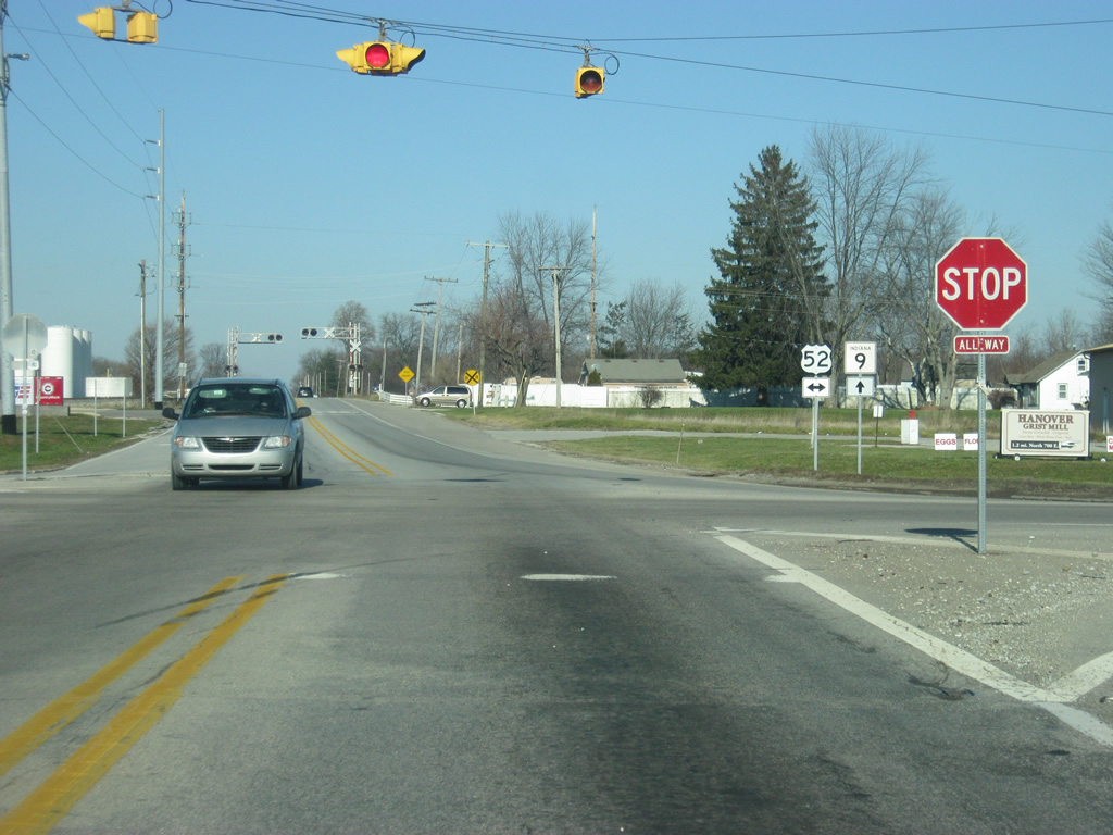
| Now coming to the intersection of SR 9 and U.S. 52 in Fountaintown in far northern Shelby County. U.S. 52 travels Indiana for 171 miles from west of Kentland, through Lafayette, Lebanon, Indianapolis, Rushville and Brookville before leaving along Interstate 74 near Harrison, Ohio. 12/19/11 |
|
| U.S. 52 leads to the communities of New Palestine and Indianapolis to the west and Rushville and Cincinnati to the east. U.S. 52 goes for 2,072 miles from the Canadian border in Portal, North Dakota to the Atlantic Ocean in Charleston, South Carolina. 12/19/11 |
|
| Now at the four-way stop between SR 9 and U.S. 52. 12/19/11 |
|
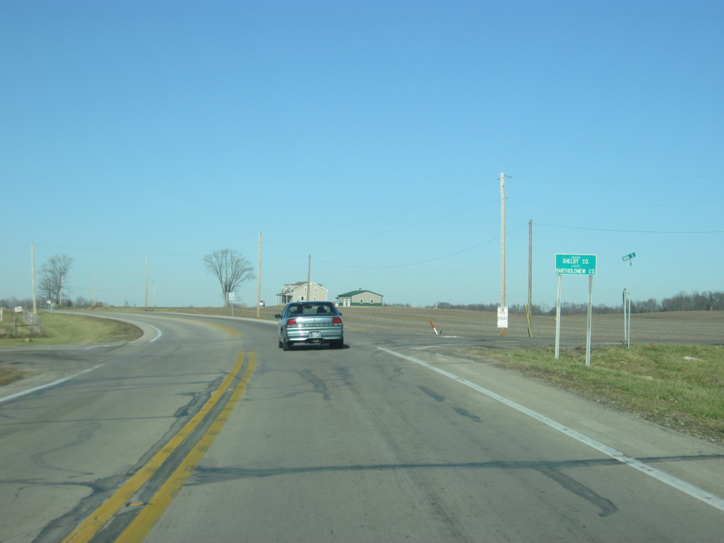
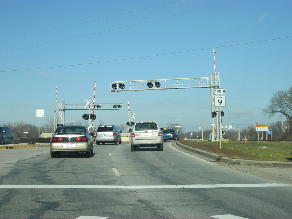
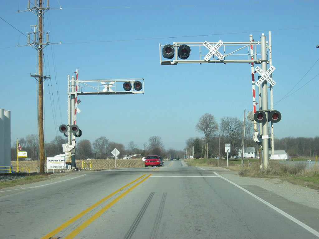
| North of the U.S. 52 intersection, SR 9 crosses the CSX railroad tracks at it leaves Shelby County. Amtrak also runs its Cardinal Service from Chicago to Washington, D.C. along these tracks. 12/19/11 |
|
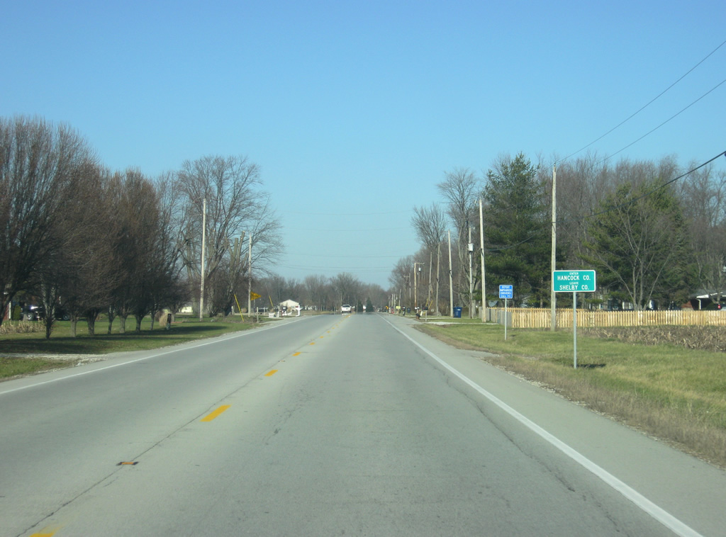
| SR 9 crosses over into Hancock County (population 70,002). 12/19/11 |
Page Updated 04-22-2012.