Indiana 10 runs for 85.3 miles from the Illinois state line east through the small towns of Roselawn, DeMotte, Bass Lake, Culver and Argos before ending at Indiana 19 in Kosciusko County.
|
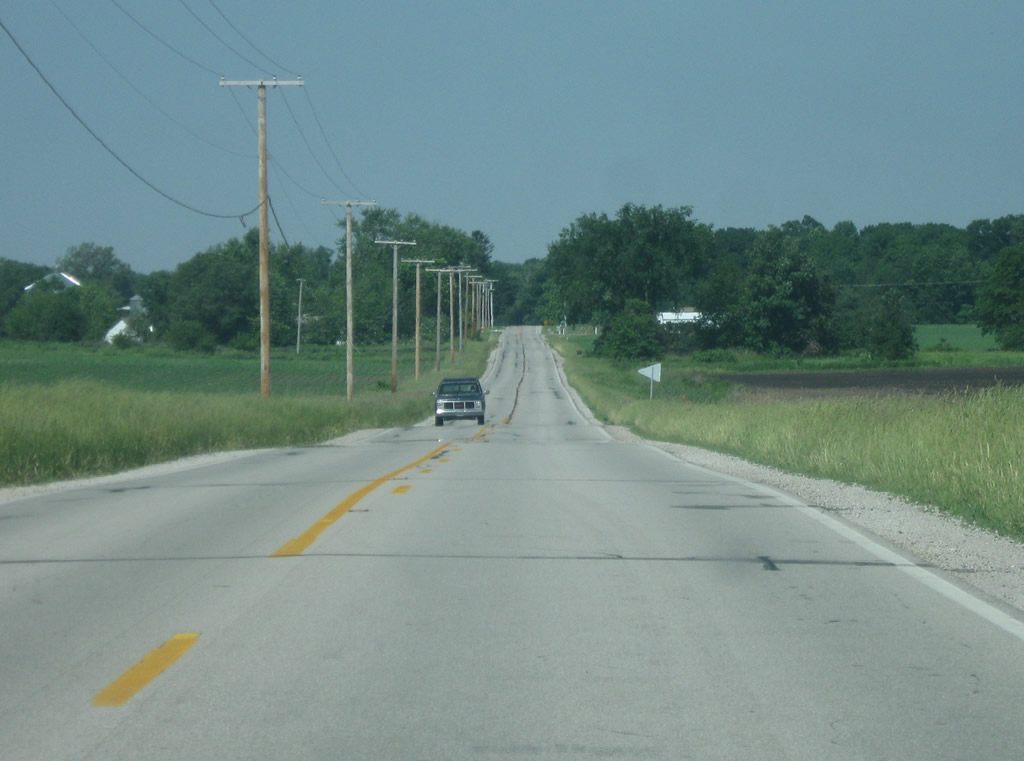
| Heading west of U.S. 31 along SR 10, the town of Culver is ten miles away while Bass Lake (located at the junction with U.S. 35) is 20 miles away. 05/30/10 |
|
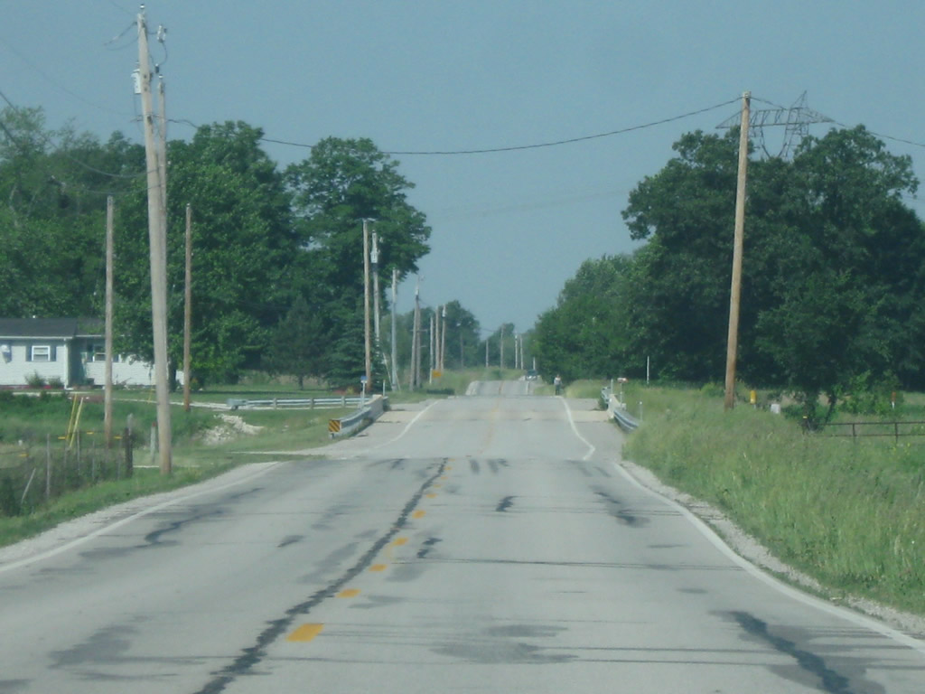
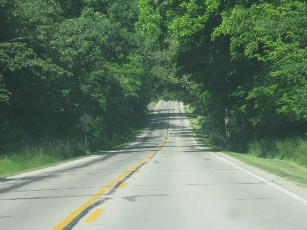
| SR 10 travels for ten miles across southern Marshall County through mostly pastoral scenes that include a mixture of agricultural fields and forests. 05/30/10 |
|
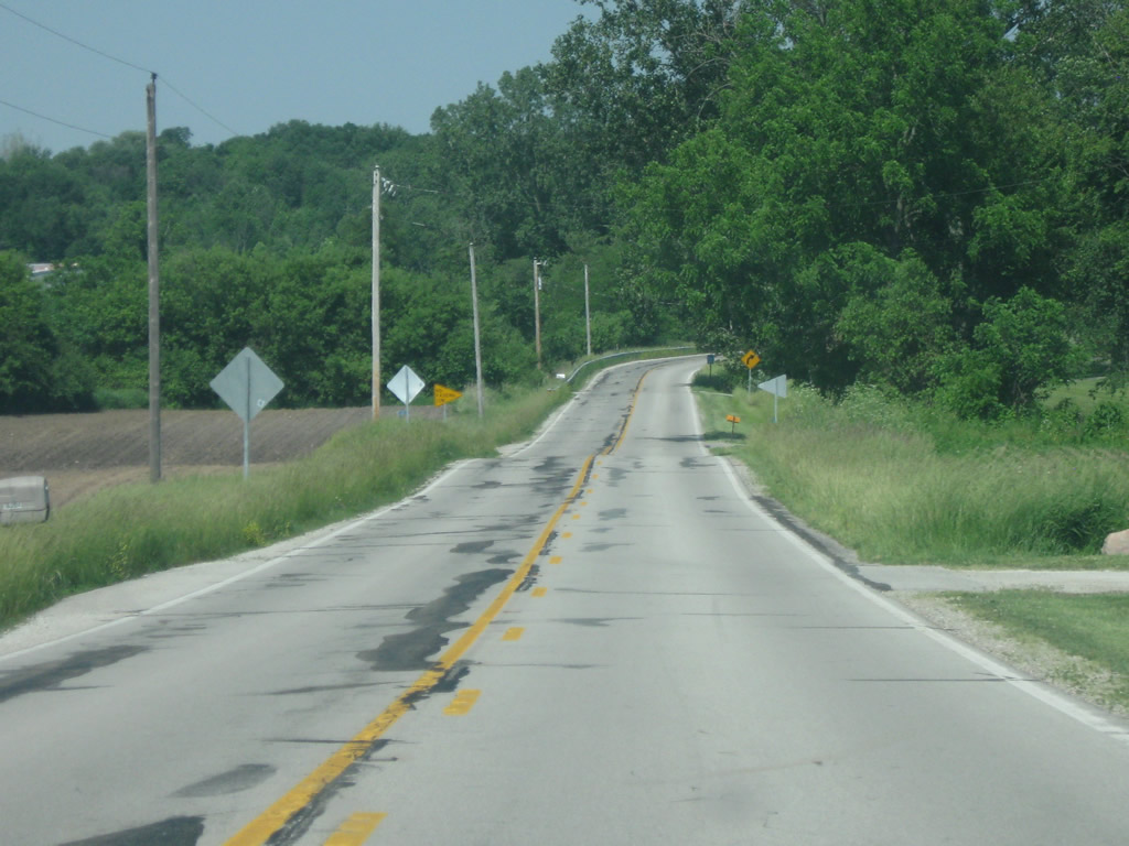
| SR 10 takes a stair stepped route to drop south one mile before resuming a westward heading to Culver. 05/30/10 |
|
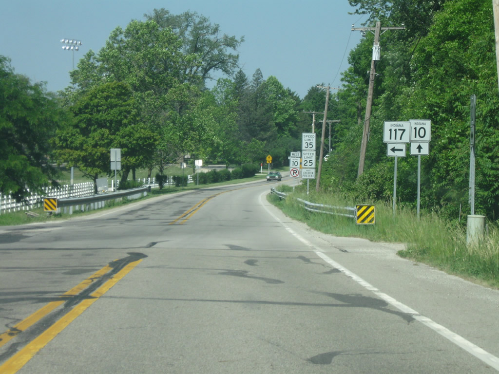
| SR 10 approaches the Culver area and SR 117 as the light towers of the Culver Academies athletic fields comes into view. 05/30/10 |
|
| SR 117 heads south from SR 10 outside Culver to run along the east side of Lake Maxinkuckee. The 4.5 mile highway connects SR 10 with SR 110. 05/30/10 |
|
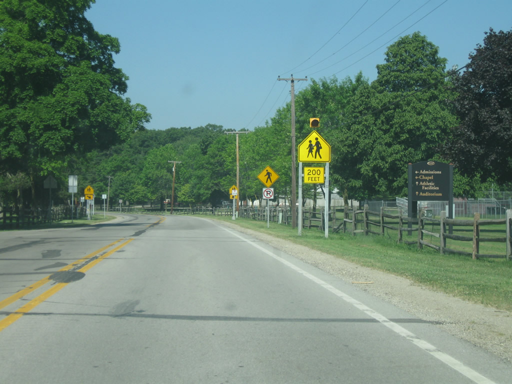
| West of the SR 117 intersection, SR 10 passes by the Culver Academies. 05/30/10 |
|
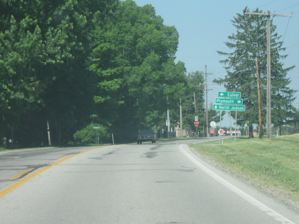
| SR 10 now enters the community of Culver (population 1,353). Up ahead is the junction with SR 17, a 50 mile highway that runs from Logansport north through Culver and up to Plymouth. Here, it is a 14 mile drive north to the Marshall County seat of Plymouth.
Lake Shore Drive heads south into the town of Culver by Lake Maxinkuckee. SR 10 & 17 combine for a mile before diverging toward North Judson and Logansport respectively. 05/30/10 |
|
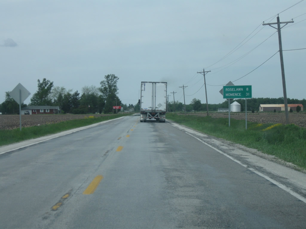
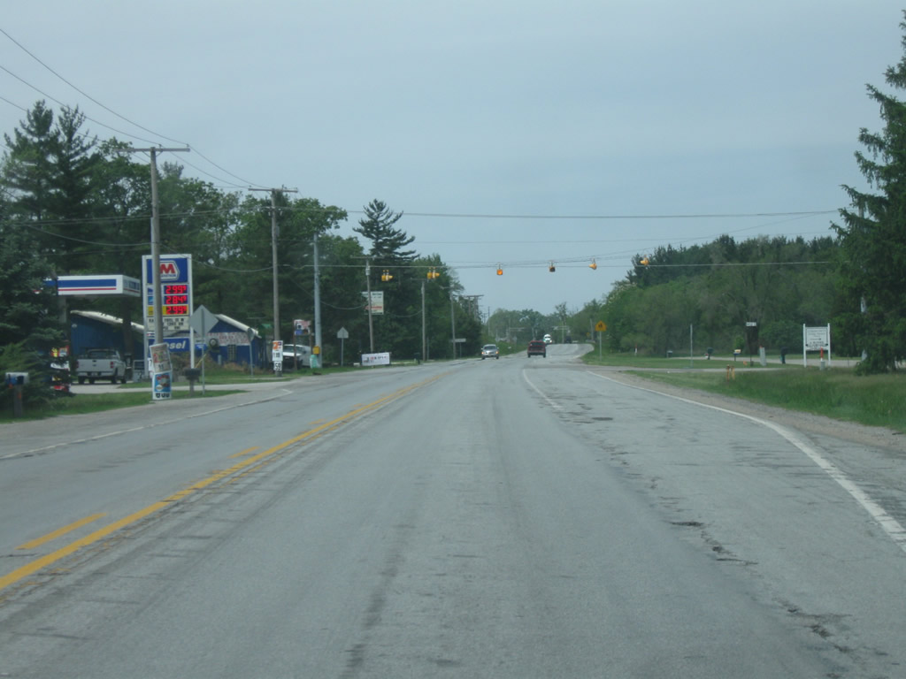
| SR 110 leads due west from U.S. 231, 2.54 miles to the turn of SR 10 west from Deer Park in Jasper County. IN 110 to IN 10 lead motorists west eight miles to Roselawn and 31 miles to Momence, Illinois via Illinois 114 05/13/10 |
|
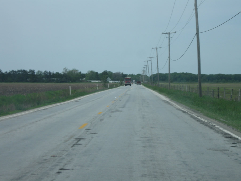
| SR 10 continues for 3.4 miles from the end of SR 110 across the typical flat countryside of northern Jasper County toward the diamond interchange with Interstate 65. 05/13/10 |
|
| Continuing west along SR 10, the state road travels just south of Lake Holiday. 05/13/10 |
|
| The community of Roselawn lies two miles to the west along SR 10 from I-65. 05/13/10 |
|
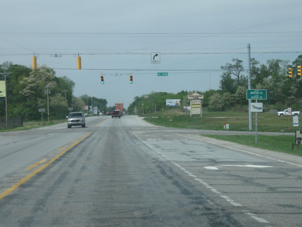
| SR 10 passes by the campground and RV park of the Lake Holiday area ahead of the intersection with County Road 600 East. Several subdivisions tie into the county road nearby to represent a little suburbanized development that formed around the interchange with Interstate 65. 05/13/10 |
|
| SR 10 enters Newton County (population 14,244) at the intersection with County Road 600 East. 05/13/10 |
|
| West of County Line Road, SR 10 passes through a quasi-suburban area that is the unincorporated town of Roselawn. 05/13/10 |
|
| SR 10 intersects County Road 450 East ahead of the main part of Roselawn. 05/13/10 |
|
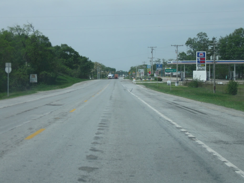
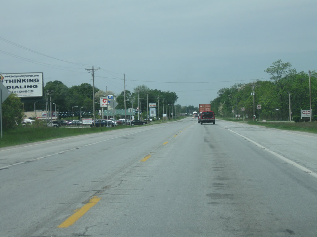
| SR 10 crosses the CSX railroad track to the immediate north of Roselawn. Most of Roselawn has expanded toward SR 10 and Interstate 65 but the core street grid of the town resides just west of the railroad here. 05/13/10 |
|
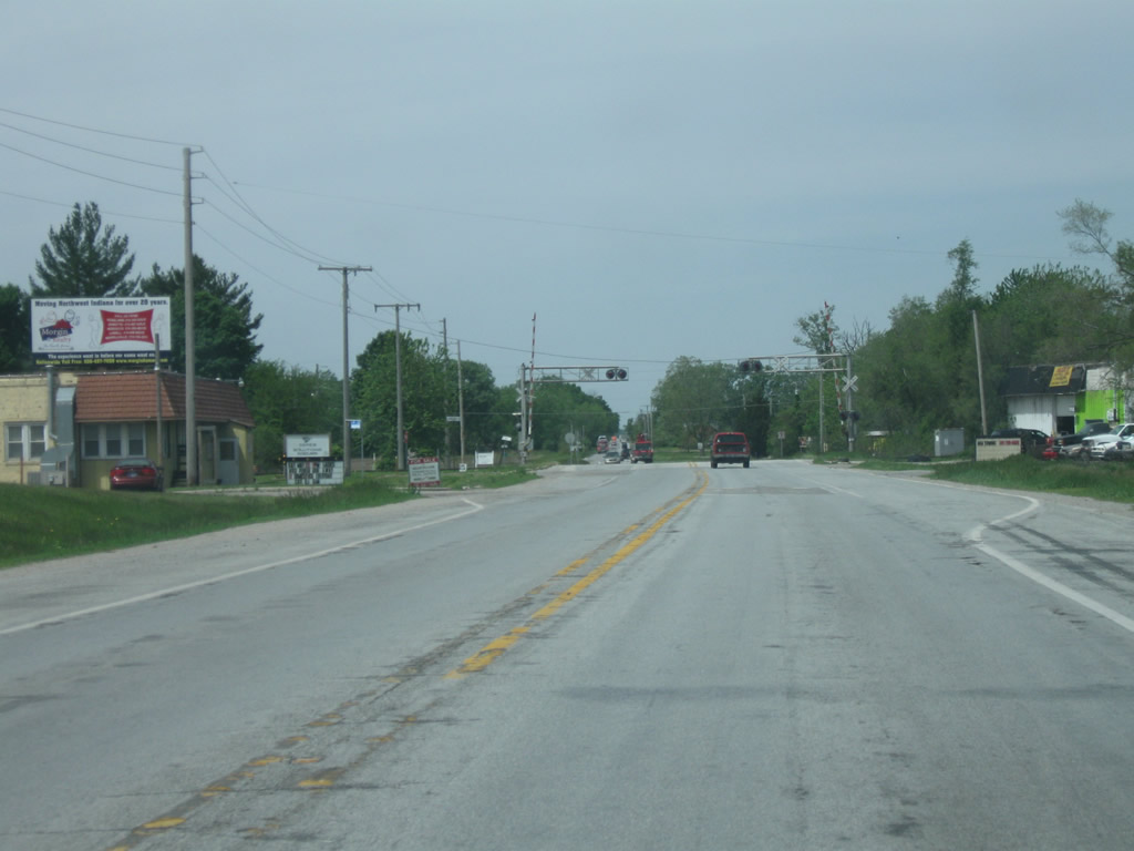
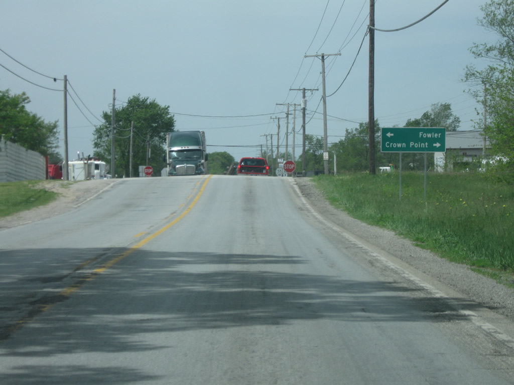
| West of Roselawn, SR 10 crosses paths with SR 55, a 110 mile highway that runs from SR 25 in Wingate north through Attica, Fowler, Goodland and Crown Point to Business U.S. 6 in Gary. Here, SR 55 travels north for 20 miles to the Lake County seat of Crown Point and south on a 40 mile trip to the Benton County seat of Fowler. 05/13/10 |
|
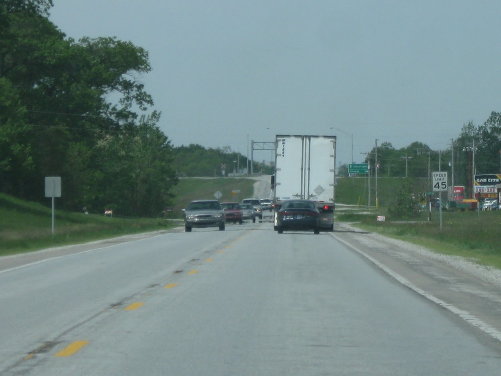
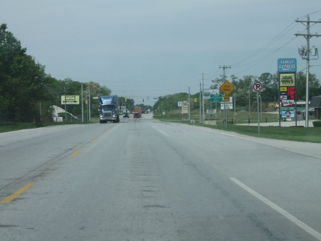
| Six miles separate SR 55 from U.S. 41 along SR 10, which serves as a connector route for freight traffic bypassing congestion along U.S. 30 or the Borman Expressway (I-80/94) corridors. 05/13/10 |
|
| County Road 300 West travels south from SR 10 along the original route of U.S. 41 into the town of Lake Village. U.S. 41 bypasses the community to the west along an expressway. 05/13/10 |
|
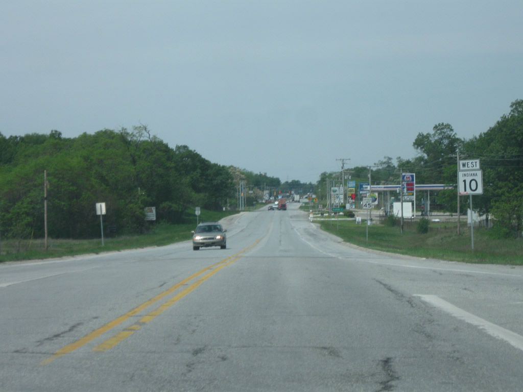
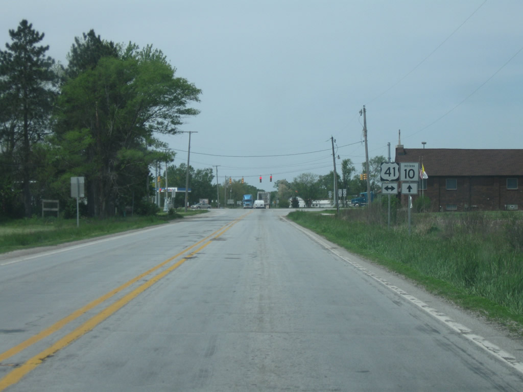
| SR 10 continues a third of a mile to intersect U.S. 41. Totaling 280 miles across the state, U.S. 41 maintains four lane expressway standards in conjunction with SR 63 from Northwest Indiana south through Terre Haute, Vincennes and Evansville. A two lane portion of U.S. 41 remains through the towns of Attica and Rockville as well. Nationally, U.S. 41 goes for 2,000 miles from Copper Harbor, Michigan south to Miami, Florida.
The Newton County seat of Kentland is 30 miles to the south with the town of Cedar Lake 18 miles to the north. SR 10 continues west to the Illinois state line, where it becomes Illinois 114 toward the town of Momence. 05/13/10 |
Page Updated 03-11-2016.