|
| We begin our westward trek on SR 46 in the city of Greensburg (population 11,492).
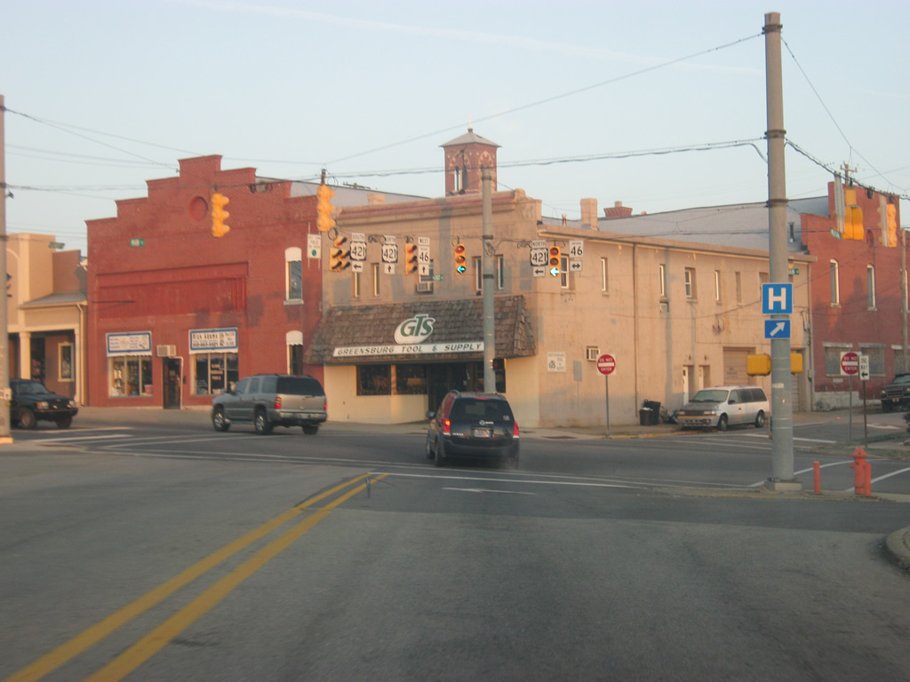
Within Greensburg, SR 46 follows the path of Main Street. U.S. 421 meets the highway at the intersection with Main Street and Michigan Avenue. U.S. 421 is a 941 mile highway that goes from Michigan City southeast to Fort Fisher, North Carolina. In Indiana, it travels for 232 miles from Michigan City south to Indianapolis, and then southeast through Greensburg and down to Madison. U.S. 421 will follow SR 46 along Main Street for a five-block multiplex. 12/17/11 |
|
| West of the intersection with Michigan Avenue (U.S. 421 south), both SR 46 and U.S. 421 north follow Main Street across Downtown Greensburg. The stoplight up ahead is with Franklin Street. Franklin Street goes along the eastern edge of the Decatur County courthouse square. 12/17/11 |
|
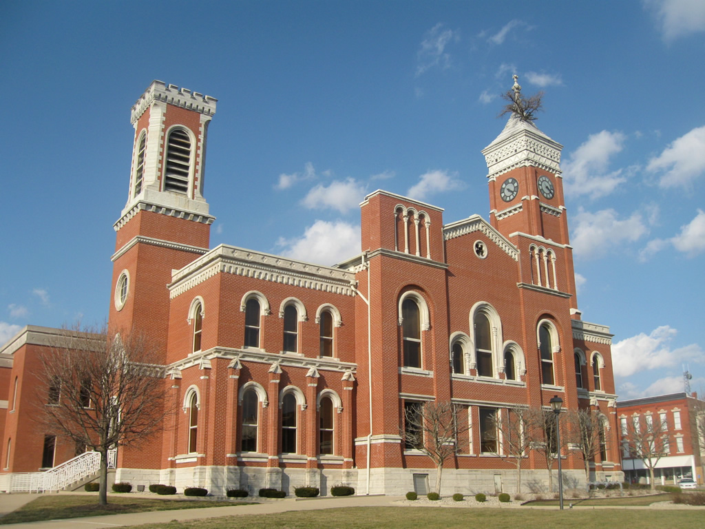
| Greensburg is home to the Decatur County Courthouse. The courthouse, built in 1861, is best known for having a live tree grow in its tower since the 1870s. There have been several trees that have grown in the tower, with the current tree believed to be a mulberry. The Greensburg nickname of "Tree City" derives from the courthouse tree. 03/05/10 |
|
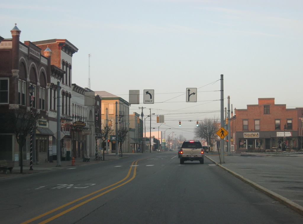
| West of Franklin Street, U.S. 421 north & SR 46 west (Main Street) goes along the southern edge of the courthouse square. As with many Indiana county seats, the commercial core of the downtown surrounds the courthouse square. The next stoplight ahead is with Broadway Street, which continues to the north up to the SR 3 expressway. Broadway Street forms the western edge of the square containing the Decatur County courthouse. 12/17/11 |
|
| West of the Broadway Street intersection, U.S. 421 & SR 46 continue to follow Main Street toward the west side of Greensburg. 12/17/11 |
|
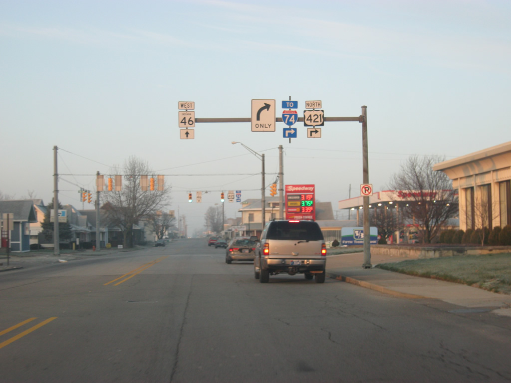
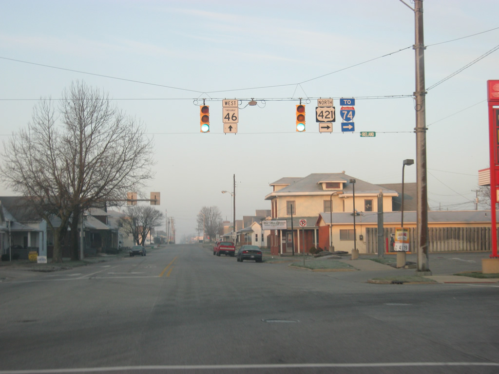
| Now coming up to the split between SR 46 and U.S. 421 north. U.S. 421 follows Ireland Street to the north for five blocks before it rejoins Michigan Avenue to the northwest, where it meets up with Interstate 74 on the far northwest side of town. 12/17/11 |
|
| Now at the intersection between SR 46 (Main Street) and U.S. 421 north (Ireland Street). SR 46 continues to follow Main Street to the west of the core of Greensburg. 12/17/11 |
|
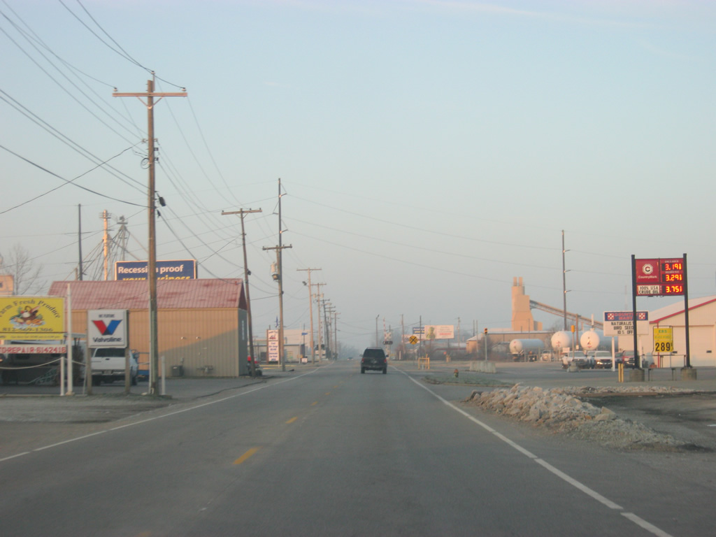
| West of the intersection with U.S. 421 north (Ireland Street), SR 46 (Main Street) passes through some light industrial areas as it makes its way out of the developed part of Greensburg. 12/17/11 |
|
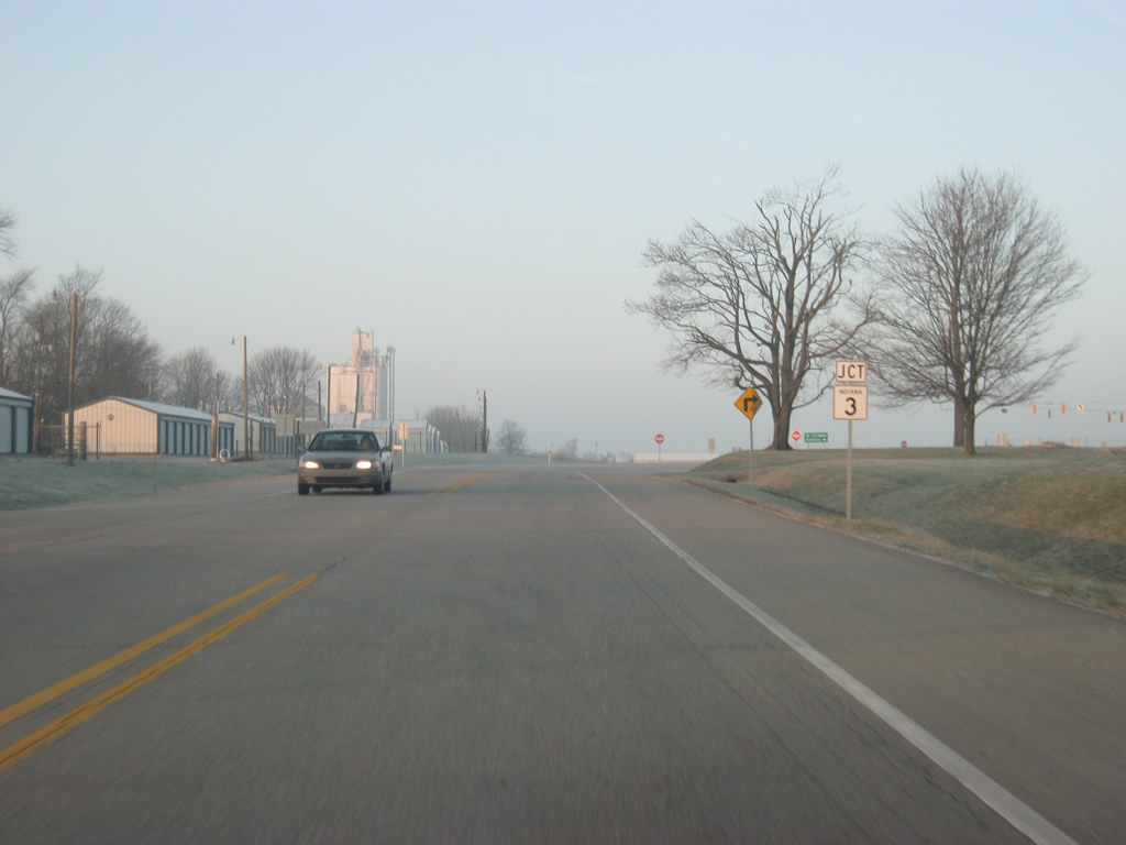
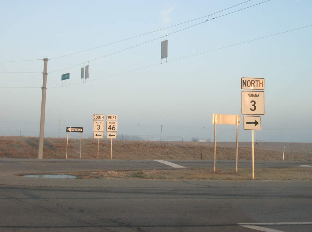
| Now outside of Greensburg, SR 46 approaches the intersection with SR 3. SR 3 exists in two segments, the first going for nearly 179 miles from Charlestown to the south through North Vernon, Greensburg, Rushville, New Castle, and Muncie before ending Markle. The second segment goes from Fort Wayne north to Kendallville and up to SR 120 in LaGrange County. 12/17/11 |
|
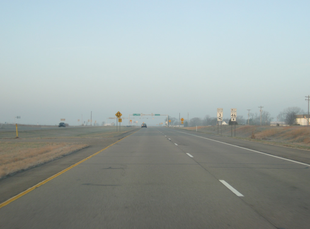
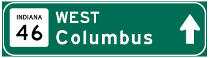
| SR 3 is an expressway for a few miles to the north and south of this intersection. Northward, SR 3 heads to a cloverleaf interchange with Interstate 74 and further to Rushville. Columbus, the next major community along SR 46 is marked as the control city for the expressway heading toward the west. 12/17/11 |
|
| A closer look at the highway shields for SR 3 and SR 46 at the intersection with the SR 3 expressway and SR 46 east. 12/17/11 |
|
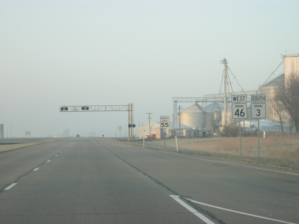
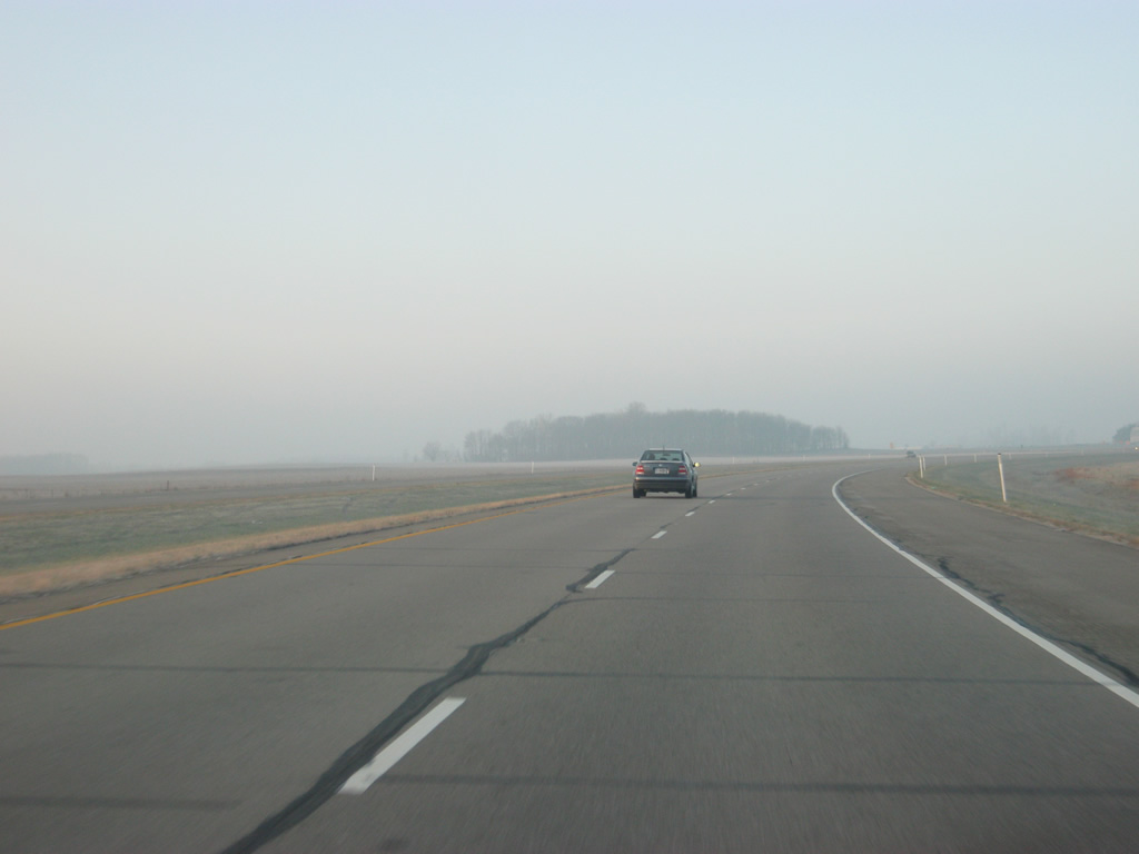
| SR 46 multiplexes with SR 3 for about five miles to the southwest of Greensburg. The four lane highway is generally lightly traveled, but SR 46 is still an important highway to connect the city of Columbus with Interstate 74 and Greensburg. 12/17/11 |
|
| Views of the SR 3 & 46 expressway as it turns to the southwest toward their split. 12/17/11 |
|
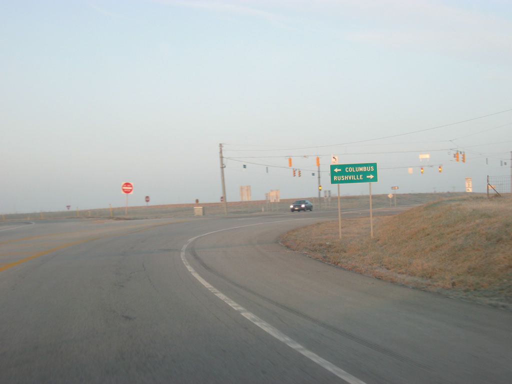
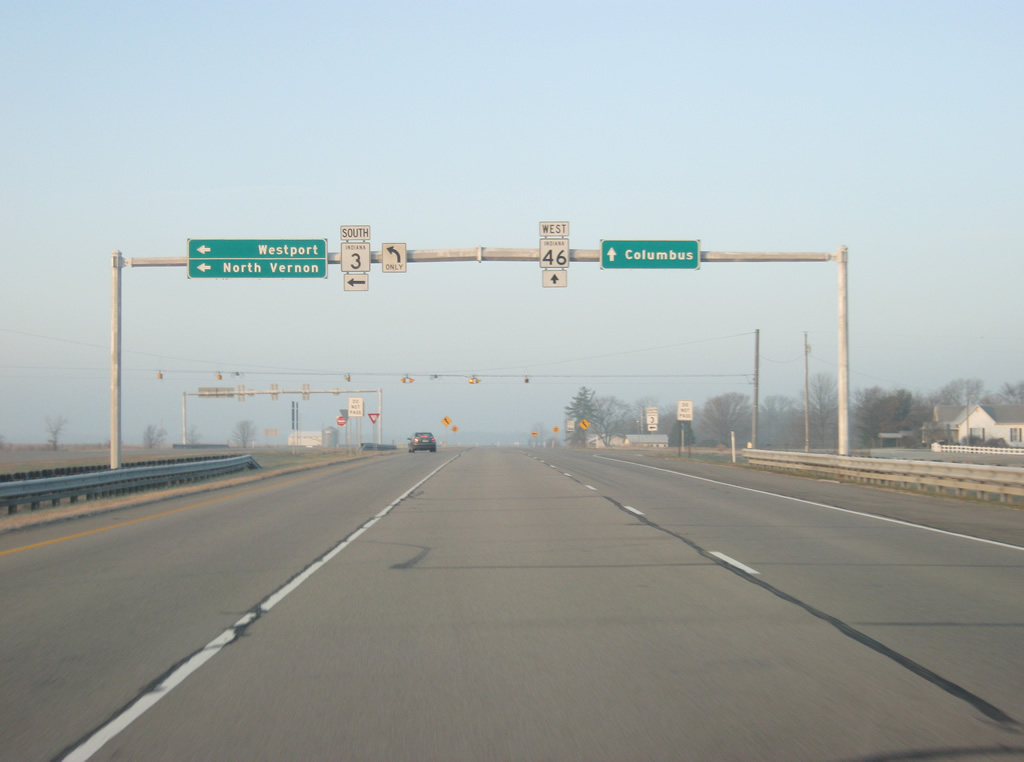
| Up ahead, the expressway ends as SR 3 breaks off toward the south and SR 46 continues to the west. 12/17/11 |
|
| SR 3 heads south toward the towns of Newport and North Vernon while SR 46 heads west toward the Bartholomew County seat of Columbus. 12/17/11 |
|
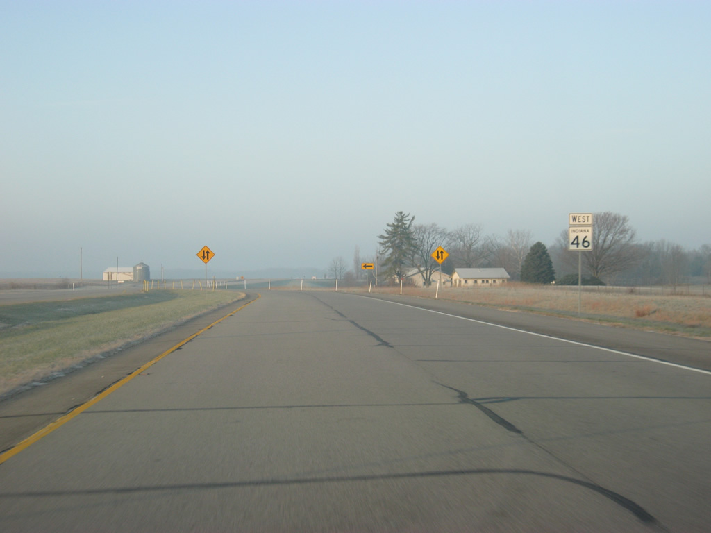
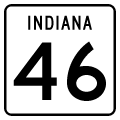
| A reassurance shield for SR 46 as the highway reduces to two lanes west of the split with SR 3 south. 12/17/11 |
|
| The next town along SR 46, Hartsville is eight miles away. Columbus is 21 miles down the road. 12/17/11 |
|
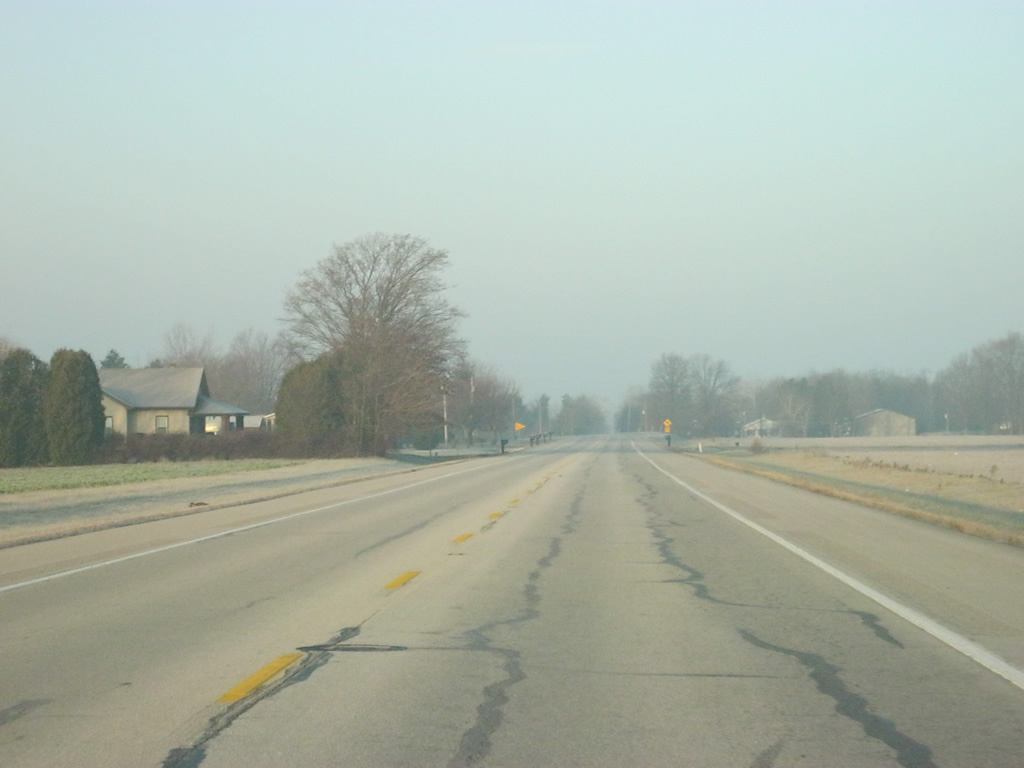
| A view of SR 46 westbound near the intersection with County Road 600 West. 12/17/11 |
|
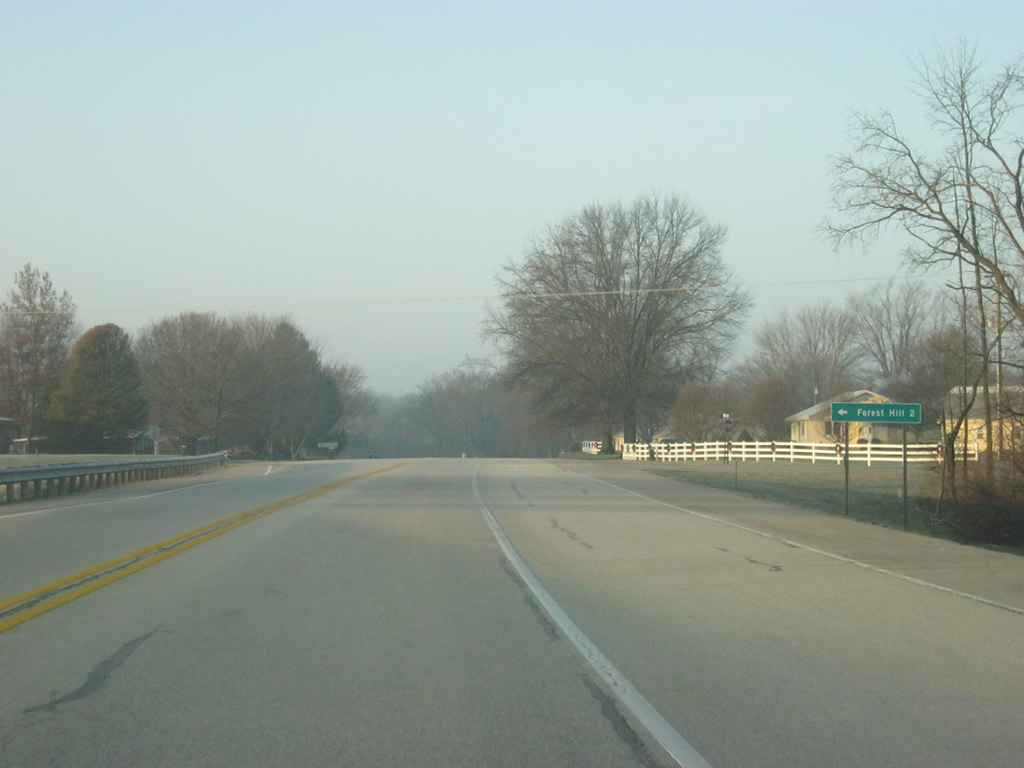
| The town of Forest Hill is two miles to the south of SR 46 along County Road 700 West. 12/17/11 |
|
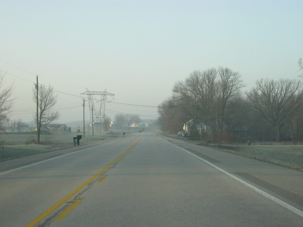
| SR 46 passes underneath some transmission lines, coming north from Madison, west of the intersection with County Road 700 West. 12/17/11 |
|
| SR 46 comes up to the intersection with County Road 850 West, leading to the town of Burney two miles to the north. 12/17/11 |
|
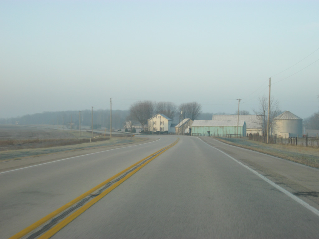
| A view of SR 46 beyond the intersection with County Road 850 West as it curves toward the southwest. 12/17/11 |
|
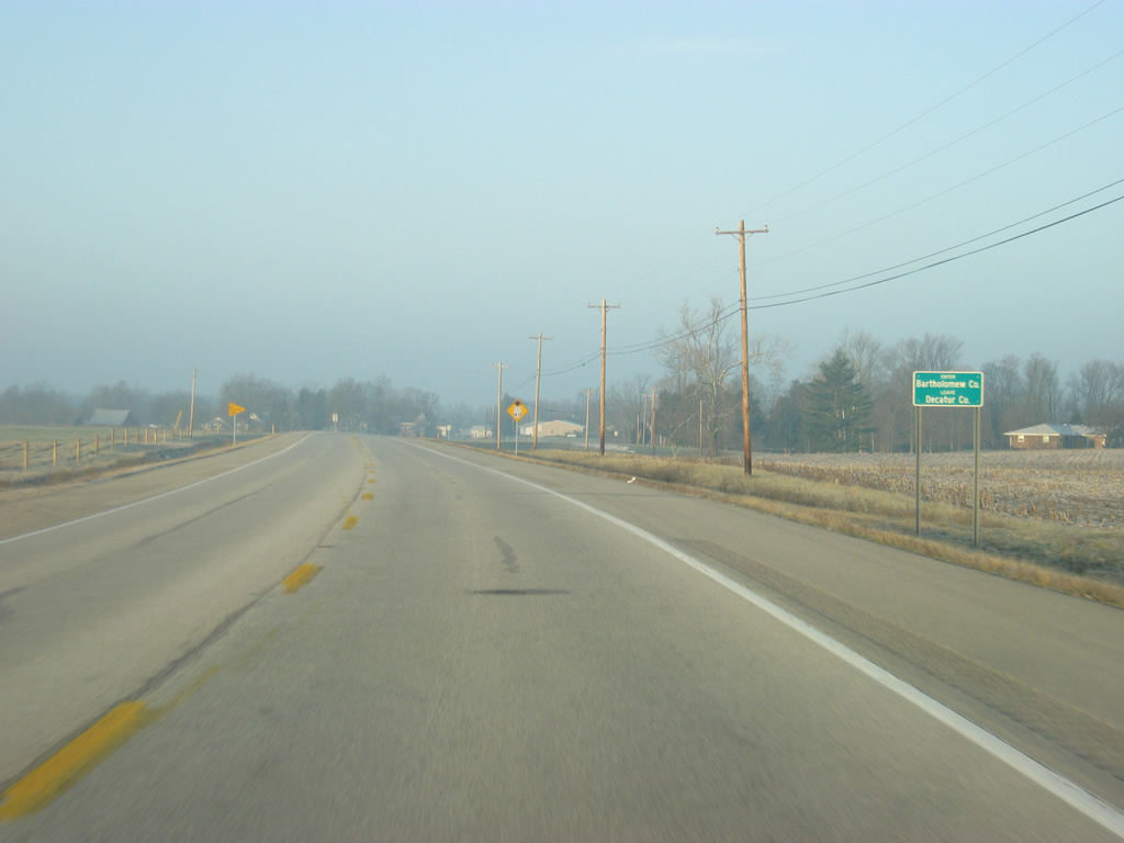
| SR 46 enters Bartholomew County (population 76,794). 12/17/11 |
Page Updated 08-19-2014.

 north &