
Indiana 46 goes for 154 miles across the South Central part of Indiana. The highway currently begins at the intersection with U.S. 40 (Wabash Avenue) in Terre Haute and heads toward the southeast past the towns of Riley and Bowling Green. The highway then intersects with U.S. 231 & Indiana 67 in Spencer to become a major highway to the southeast into Bloomington, where it intersects with Indiana 37 (the future Interstate 69). The highway then forms an important east-west road from Bloomington to Columbus, where it intersects with Interstate 65. East of Columbus, Indiana 46 heads northeast to Greensburg where it follows the path of Interstate 74 east past Batesville to its eastern terminus with U.S. 52 west of the Ohio border.
Indiana State Road 46 Guides
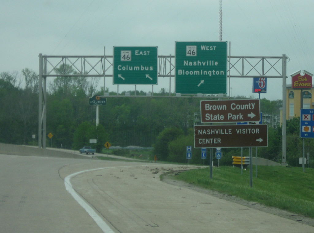 | Heading south on the exit ramp from Interstate 65 at Exit 68. Guide signs direct traffic heading toward Nashville and Bloomington to SR 46 west and for Columbus to SR 46 east. Note the Brown County State Park sign with the misaligned "y" at the end of the word County. 05/08/11 |
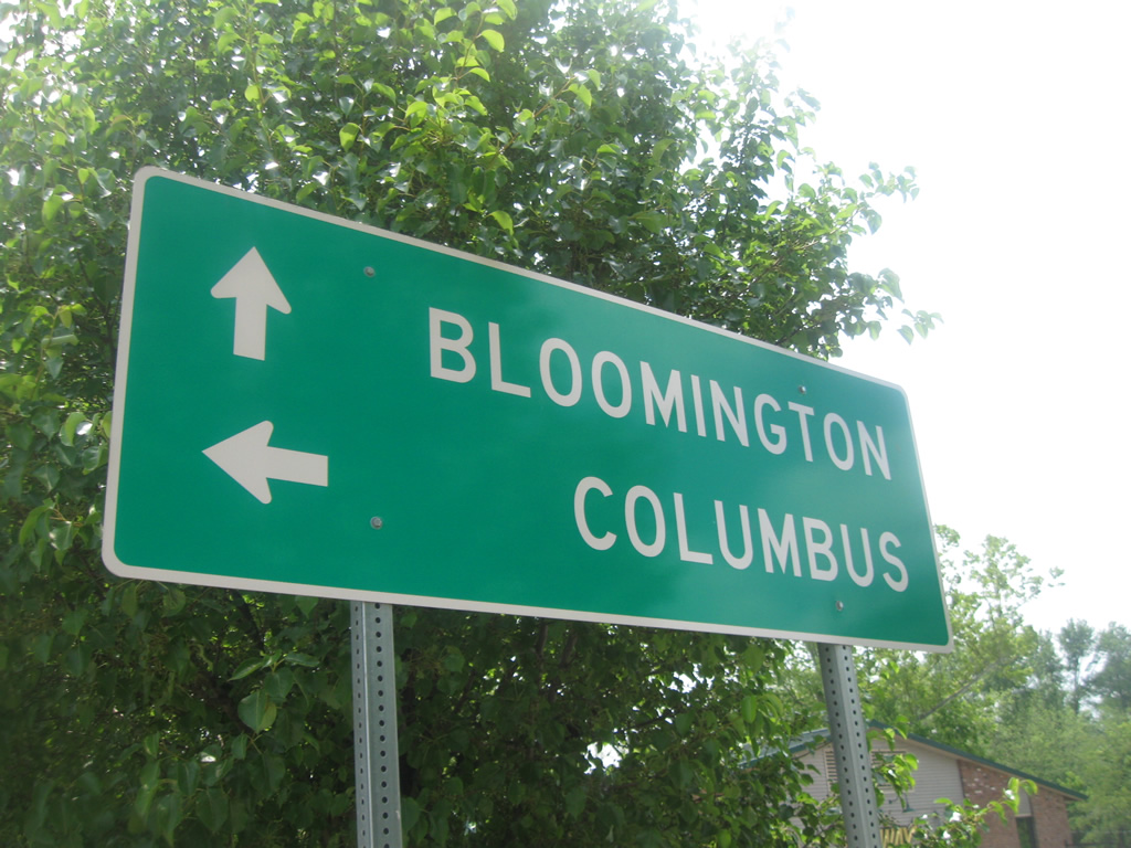 | A close-up of a sign at the intersection of SR 46 and SR 135 north in Nashville, with the two main control cities of Bloomington and Columbus. 06/01/10 |
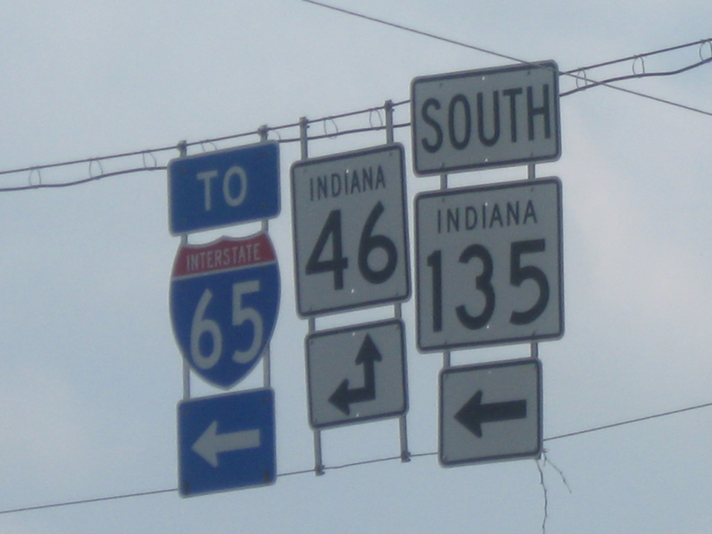 | A close-up of shields of SR 46, Interstate 65 and SR 135 at the intersection of SR 46 and SR 135 north in Nashville. 06/01/10 |
Photo Credits:
06/01/10, 05/08/11 by Thomas Decker
Connect with:
Interstate 65
State Road 37
Page Updated 08-19-2014.