|
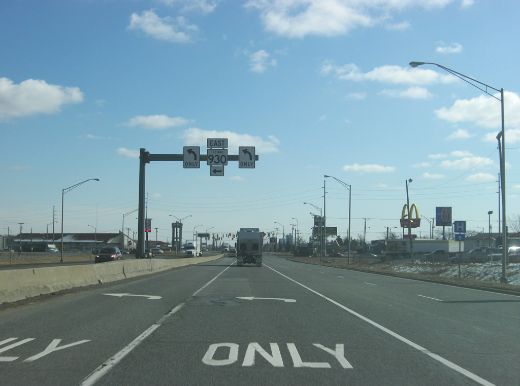
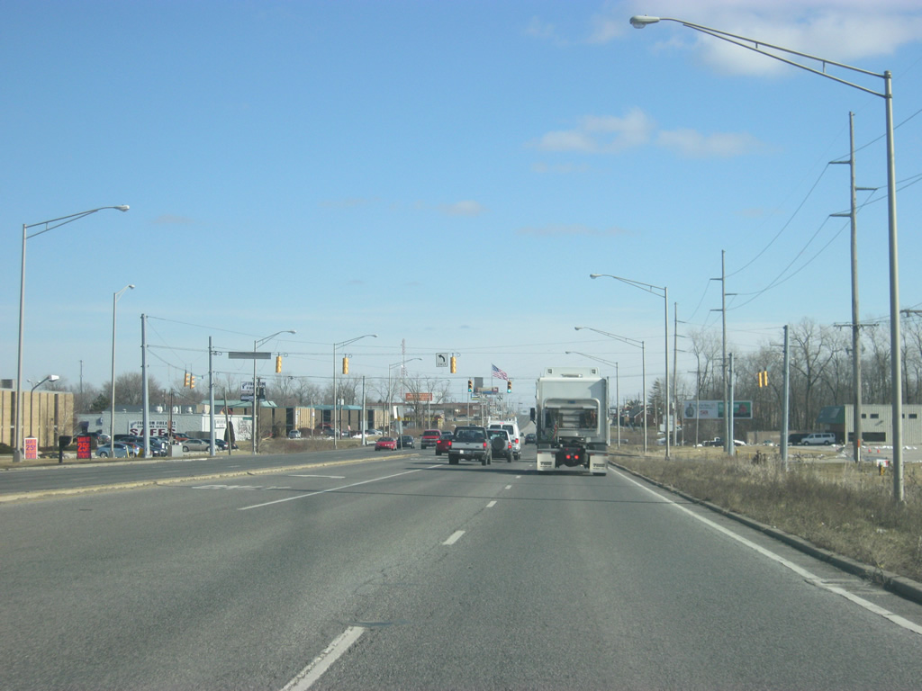
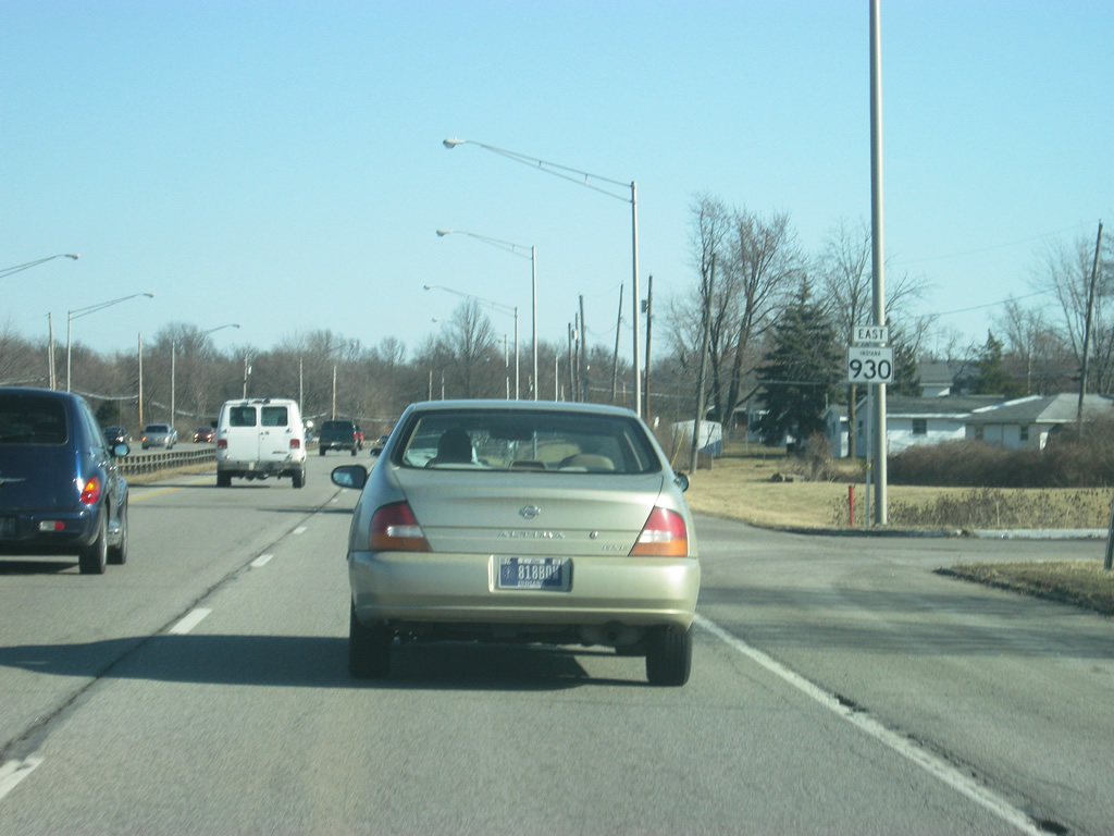
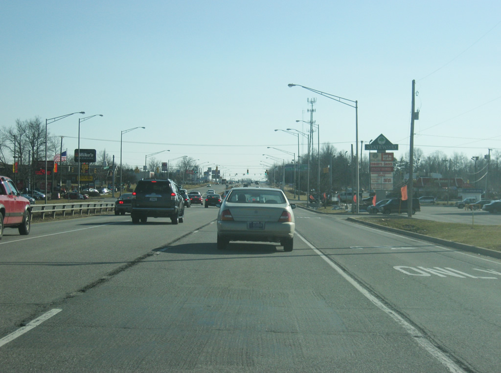
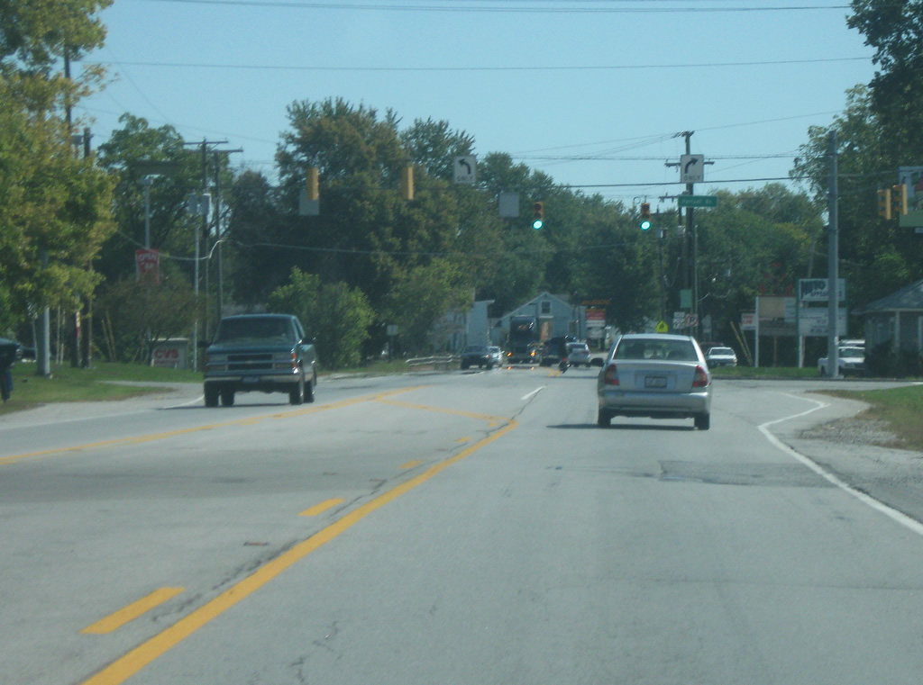
| SR 930 (Goshen Road) heads southeast from the cloverleaf interchange with Interstate 69. Two left turn lanes carry SR 930 east onto Coliseum Boulevard. Goshen Road continues to the southeast toward Downtown Fort Wayne, carrying the former routes of U.S. 30 and U.S. 33 prior to the construction of Coliseum Boulevard. 02/06/12 |
|
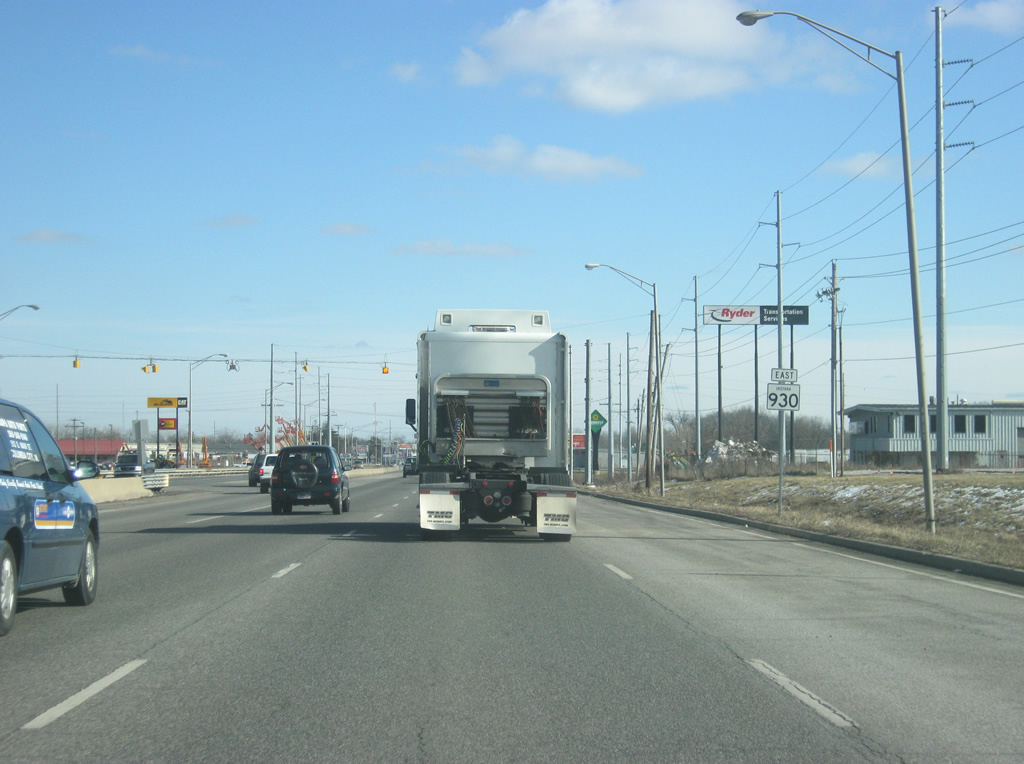
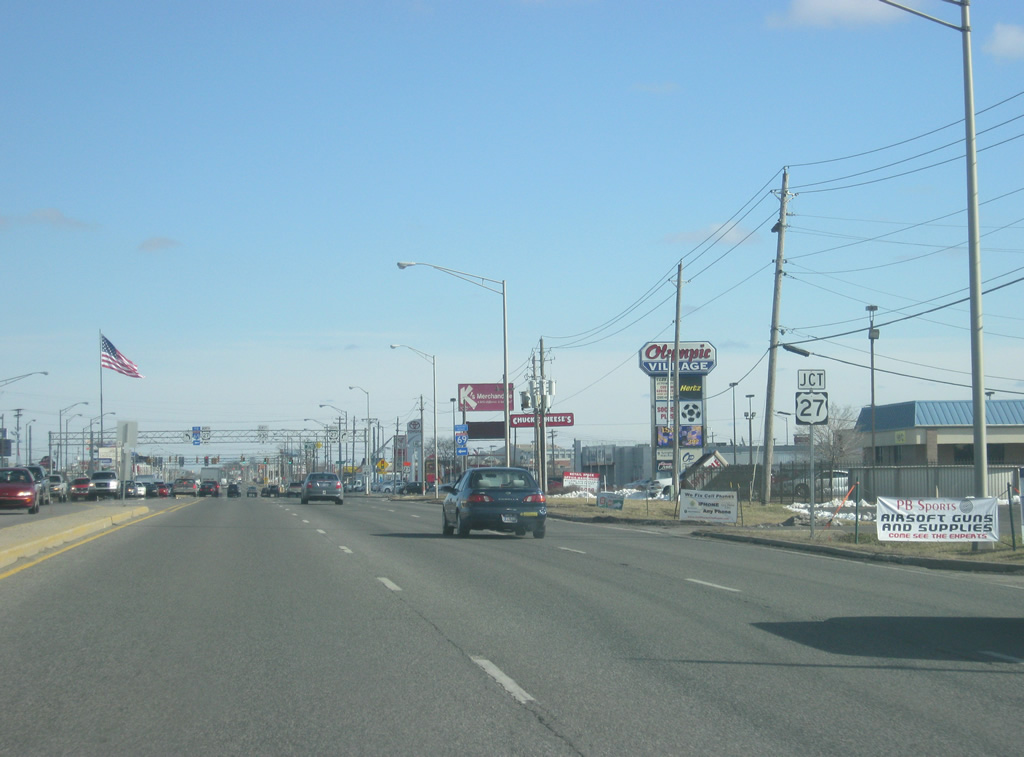
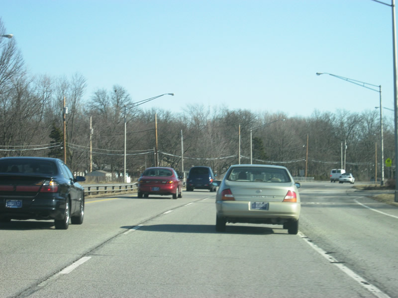
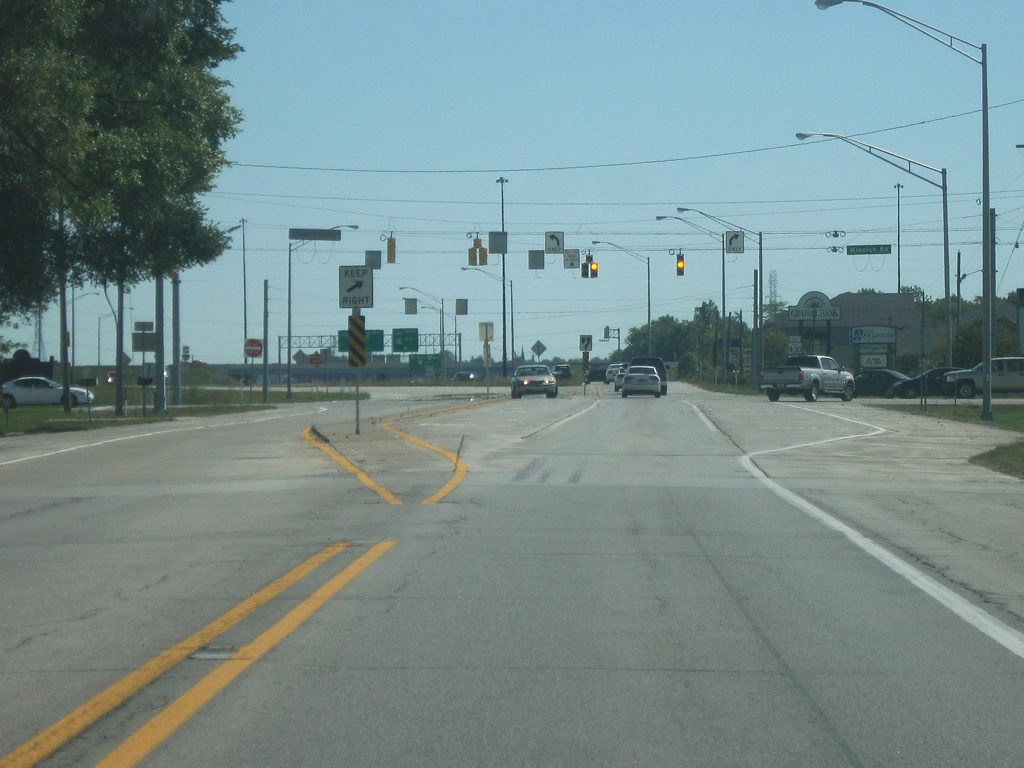
| SR 930 follows Coliseum Boulevard east toward U.S. 27 (Lima Road). Here, Coliseum Boulevard begins the "bypass" of the north side of Fort Wayne. As with many bypasses however, Coliseum Boulevard has become riddled with stoplights and commercial businesses. 02/06/12 |
|
| SR 930 (Coliseum Boulevard) crosses a railroad spur to the west of the Executive Boulevard intersection. In the second picture, SR 930 (Coliseum Boulevard) crosses the intersection of Executive Boulevard. 02/06/12 |
|
| U.S. 27 (Lima Road) goes for 1,373 miles from its interchange with Interstate 69 to the north of SR 930 (Coliseum Boulevard), south through Fort Wayne en route to Decatur, Portland, Winchester, Richmond and Cincinnati, Ohio en route to its southern terminus in Miami, Florida. 02/06/12 |
|
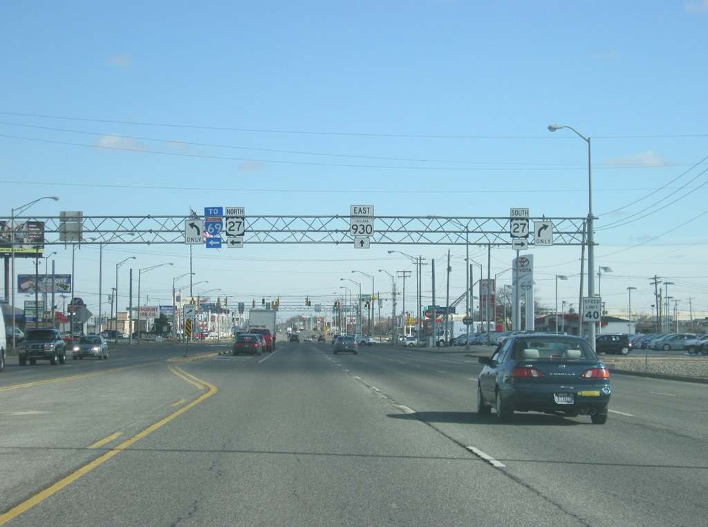
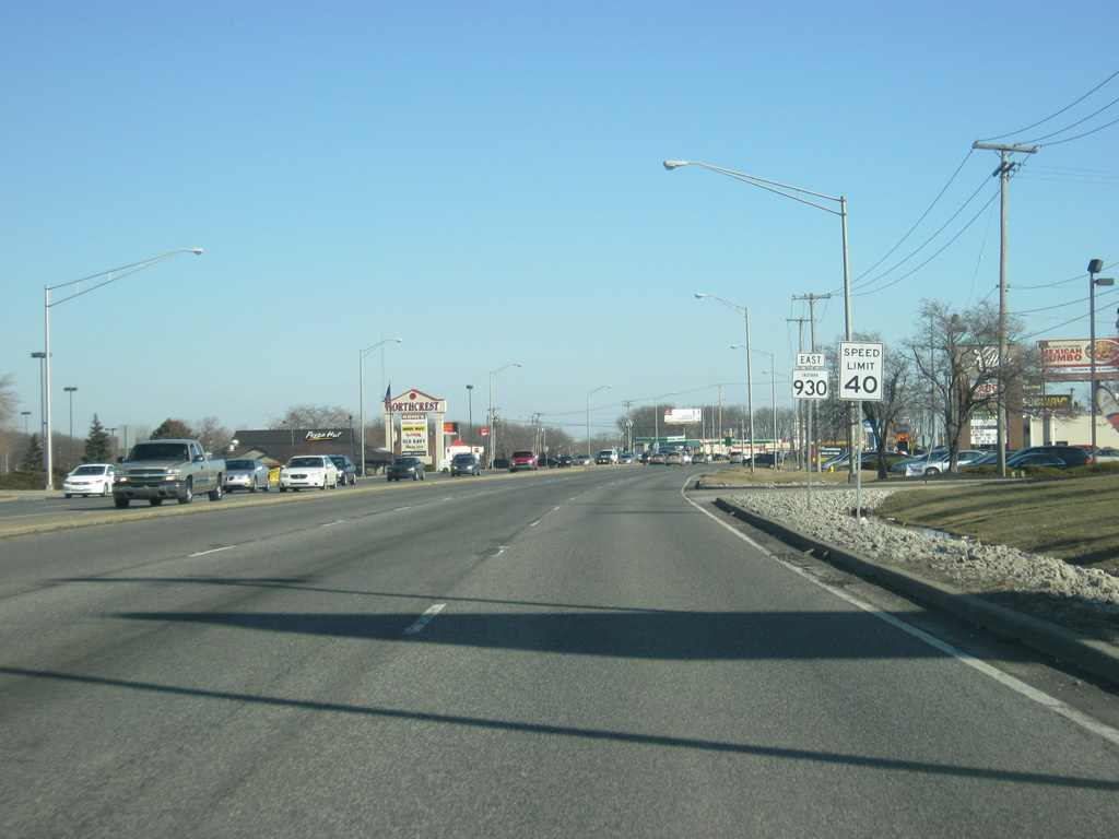
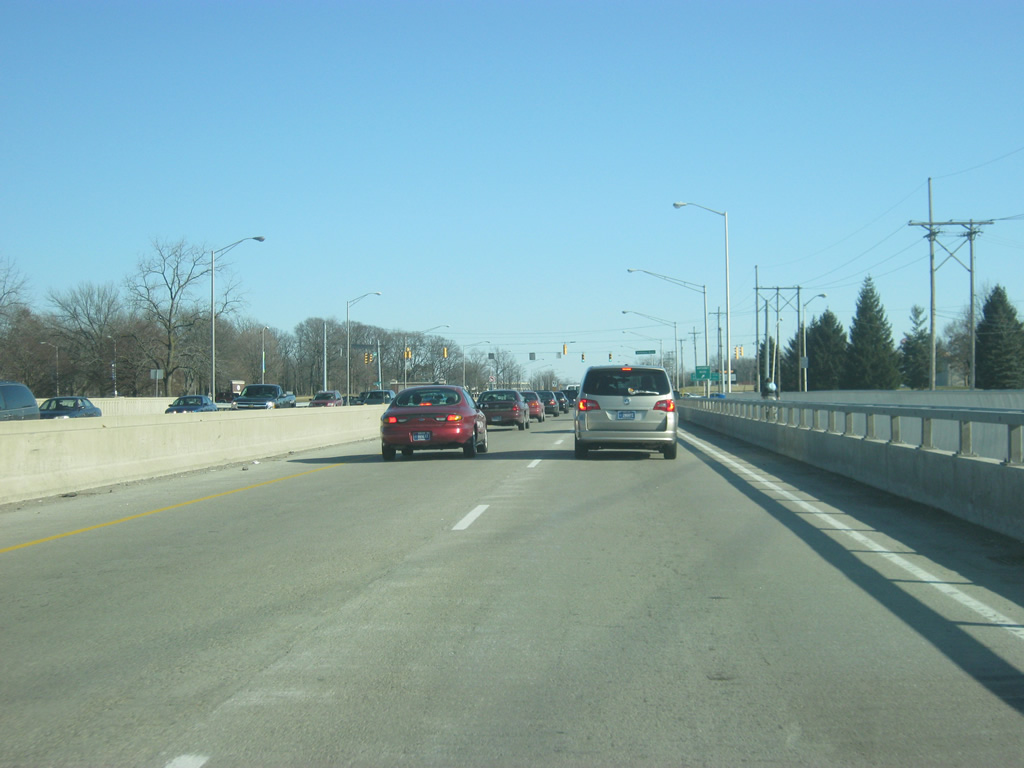
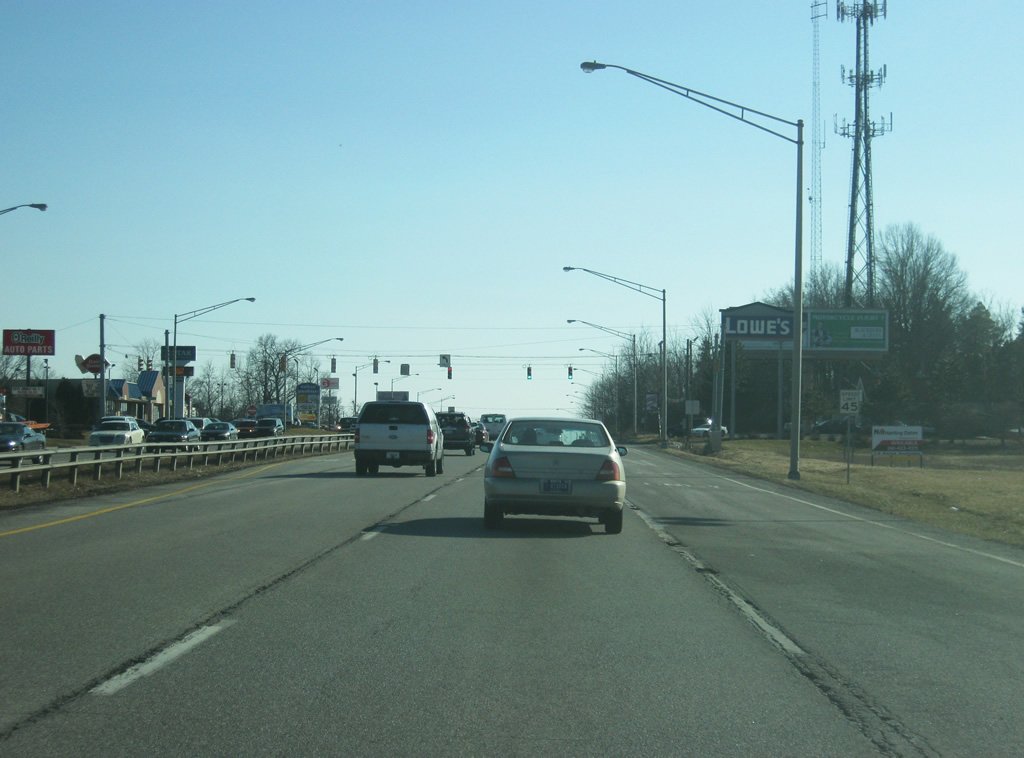
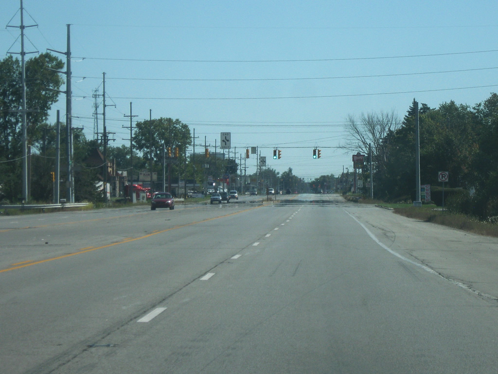
| U.S. 27 (Lima Road) continues north to its interchange with Interstate 69/U.S. 30 where U.S. 27 used to follow Interstate 69 north toward Lansing and Grayling, Michigan. To the south, U.S. 27 follows Lima Road to Clinton Avenue, which the road follows into Downtown Fort Wayne. U.S. 27 and SR 930 also remain the only INDOT-maintained highways to remain within the loop created by Interstates 69 and 469. East of U.S. 27 (Lima Road), SR 930 (Coliseum Boulevard) passes to the north of Glenbrook Square Mall, the largest shopping center in Northeast Indiana. 02/06/12 |
|
| We pick up SR 930 (Coliseum Boulevard) east of the intersection with Coldwater Road (Old U.S. 27 and SR 327). 02/06/12 |
|
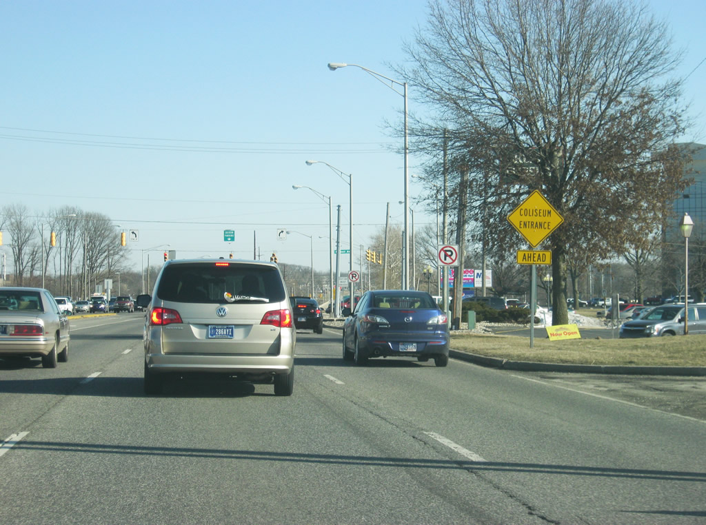
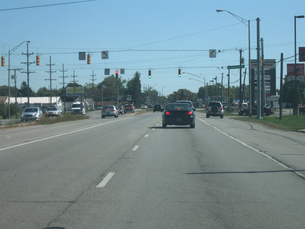
| The next major intersection with SR 930 (Coliseum Boulevard) is with Clinton Street, which used to carry both U.S. 27 and SR 1 along its routing. It has long however been regulated back to a local arterial with four lanes of traffic north and south of SR 930 (Coliseum Boulevard). Traffic bound for the Allen County Memorial Coliseum (the namesake of SR 930's local name) are directed to stay in the center lane. 02/06/12 |
|
| The right lane on SR 930 east (Coliseum Boulevard) becomes a right turn lane at Parnell Avenue, which goes from State Boulevard to the south to Clinton Street to the north. 02/06/12 |
|
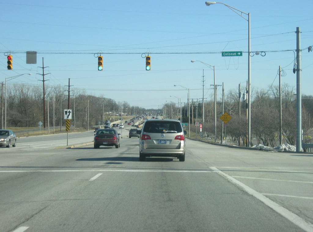
| East of Parnell Avenue, SR 930 (Coliseum Boulevard) approaches the entrance into the Allen County Memorial Coliseum. The Allen County Memorial Coliseum is home to a variety of events during the year and is the home to the Fort Wayne Komets ice hockey team, Fort Wayne Mad Ants NBA D-League basketball team and IPFW Mastodons athletics. The entrance used to consist of a trumpet interchange, but has since been turned into an at-grade intersection. 02/06/12 |
|
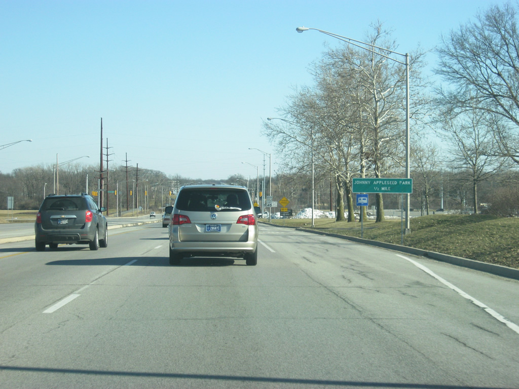
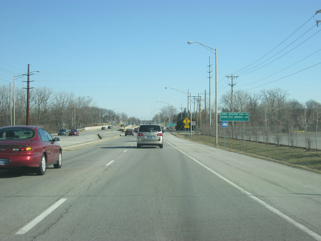
| East of the intersection with the entrance into the Allen County Memorial Coliseum, the next street, Harry Baals Drive, leads along the banks of the St. Joseph River toward Johnny Appleseed Park, which is home to the gravesite of Johnny Appleseed. 02/06/12 |
|
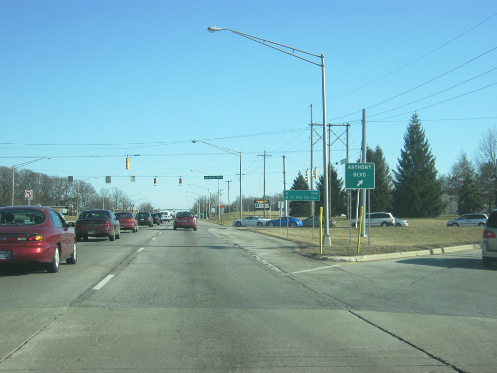
| SR 930 (Coliseum Boulevard) crosses the St. Joseph River. In the second picture, a ramp takes traffic south onto Anthony Boulevard. Anthony Boulevard continues as a major arterial across the east side of Fort Wayne and used to carry SR 37 from part of its route. 02/06/12 |
|
| SR 930 (Coliseum Boulevard) heads toward the Crescent Avenue intersection. Crescent Avenue heads northeast along the original routing of SR 37 past the campus of Indiana University-Purdue University Fort Wayne (IPFW). 02/06/12 |
|
| East of Crescent Avenue, SR 930 (Coliseum Boulevard) arcs around the southeast as it begins its bypass of the northeast side of Fort Wayne. 02/06/12 |
|
| Up ahead is the junction with SR 930 (Coliseum Boulevard) and Vance Avenue, which leads to several schools to the east, including Snider High School. South from there SR 930 (Coliseum Boulevard) angles toward the south. 02/06/12 |
|
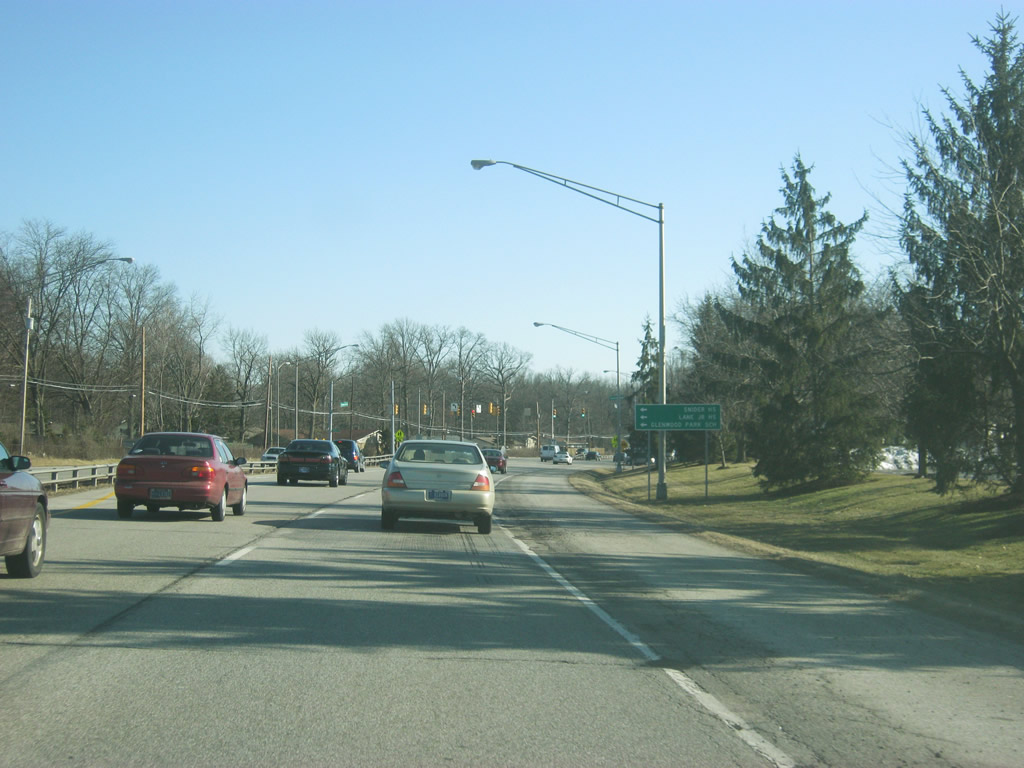
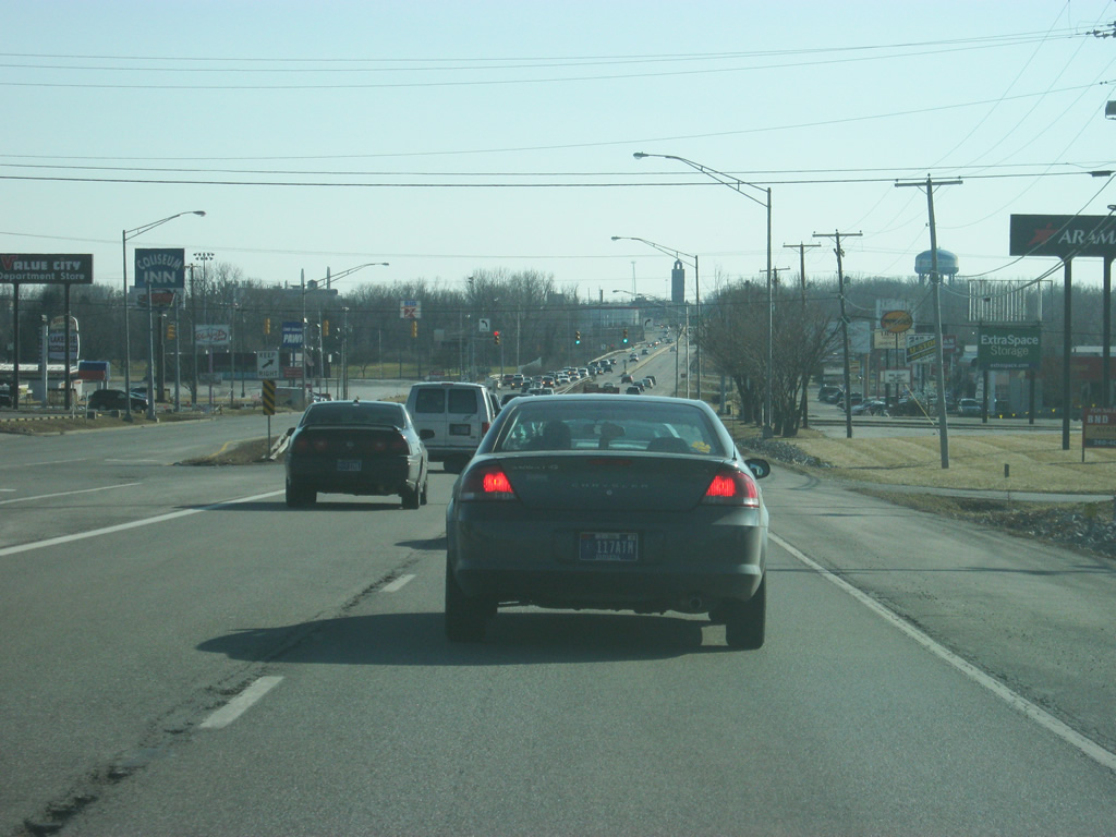
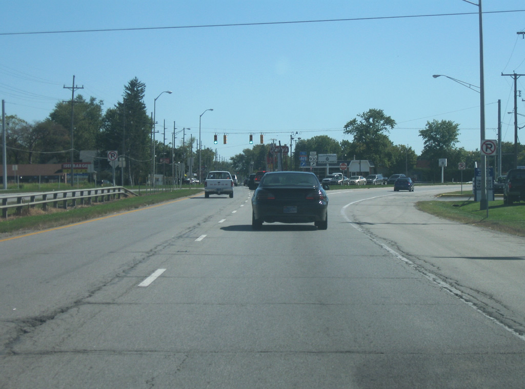
| SR 930 (Coliseum Boulevard) nears the intersection with State Boulevard. Parkview Hospital is located to the west along State Boulevard. The second picture shows another stoplight serving some shopping centers along SR 930 (Coliseum Boulevard). 02/06/12 |
|
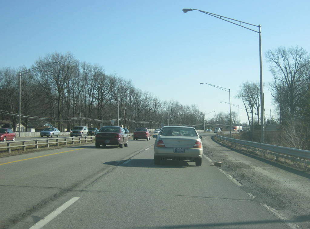
| Now approaching the intersection with Lake Avenue intersection. In the second picture, the highway passes by another set of shopping centers before it crosses over the Maumee River. The International Tower, part of the now-closed International Harvester Plant, looms in the distance at the southern end to Coliseum Boulevard. 02/06/12 |
|
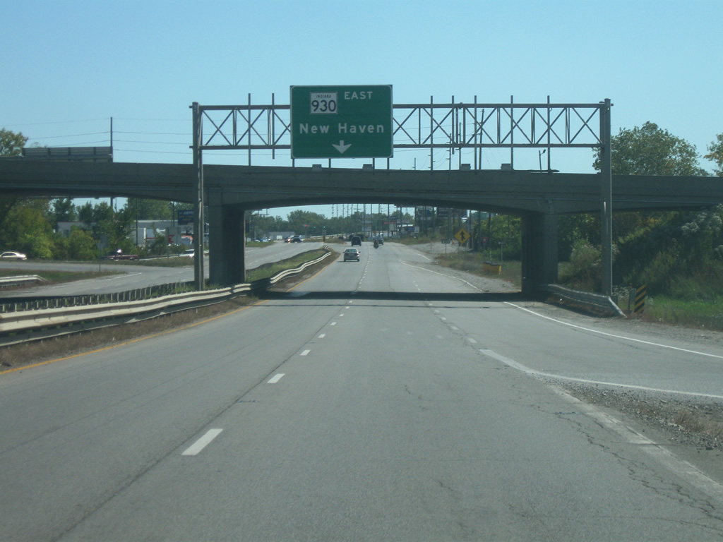
| On the other side of the Maumee River, SR 930 (Coliseum Boulevard) comes up to the cloverleaf interchange with Washington Boulevard, which heads west along the original routing of U.S. 24, U.S. 30 and SR 14 toward Downtown Fort Wayne. Coliseum Boulevard continues south to the International Tower at Pontiac Street where the divided highway abruptly ends and follows Pontiac Street. SR 930 will follow a loop ramp from southbound Coliseum Boulevard onto eastbound SR 930 toward New Haven. 02/06/12 |
|
| We pick up SR 930 at the parclo interchange with Coliseum Boulevard. SR 930 follows a loop ramp in the southwest quadrant of the interchange to continue east along Washington Boulevard east toward the city of New Haven. 09/19/09 |
|
| SR 930 heads east from the interchange with Coliseum Boulevard as in nears the intersection with Meyer Road. 09/19/09 |
|
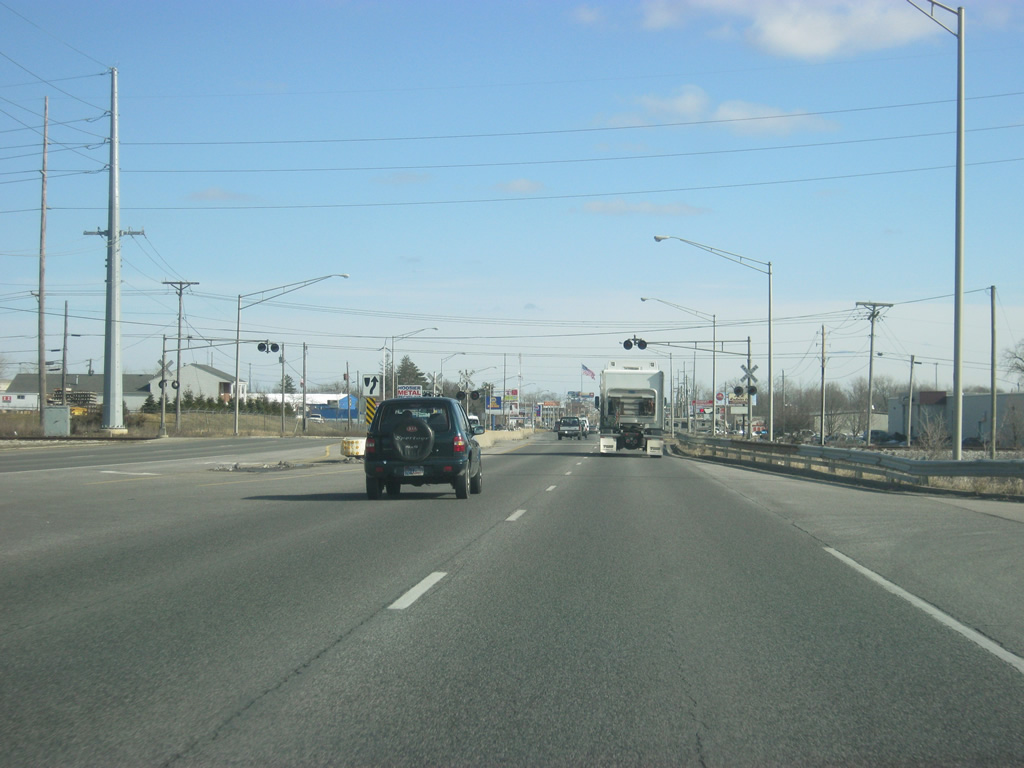
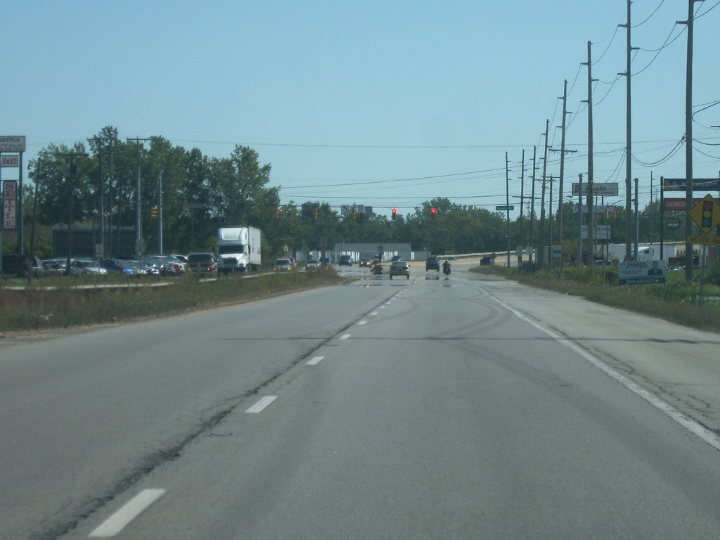
| East of Meyer Road, SR 930 enters the city of New Haven (population 14,794). Here, SR 930 crosses over a pair of railroad tracks toward the southeast. 09/19/09 |
|
| SR 930 nears the intersection with New Haven Avenue, which carried the original routing of U.S. 30 from Fort Wayne toward New Haven. From this point, SR 930 follows the routing of New Haven Avenue toward the east. 09/19/09 |
|
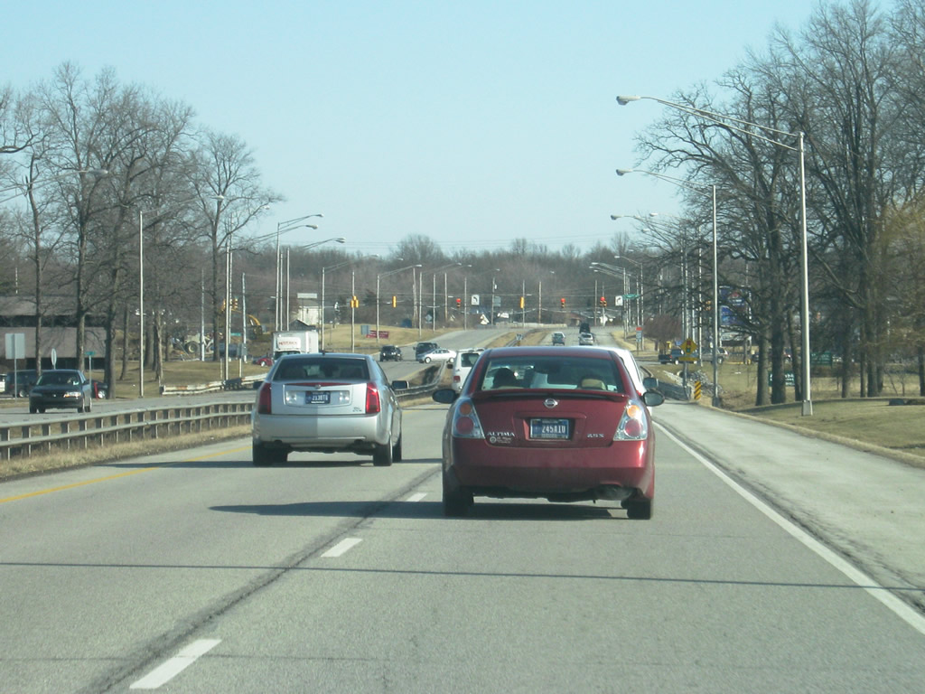
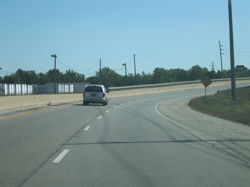
| For the next mile, SR 930 heads east toward Downtown New Haven along a four lane road that has commercial and industrial surrounding it. 09/19/09 |
|
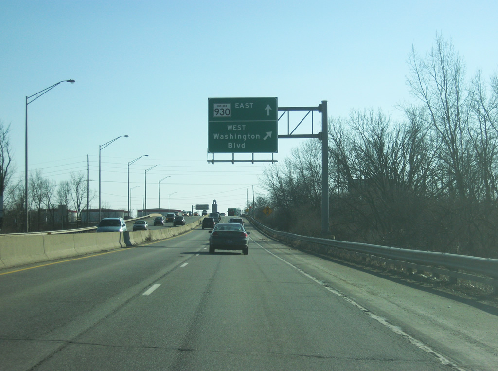
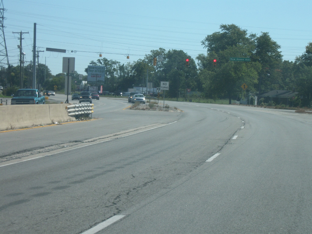
| The two travel lanes of SR 930 actually turn off toward the east to follow Lincoln Highway east toward Downtown New Haven while SR 930 "exits" off toward the southeast to bypass the main part of New Haven to the south. Here, SR 930 follows the original routing of U.S. 30 while Lincoln Highway carries the original routing of U.S. 24 and SR 14. 09/19/09 |
|
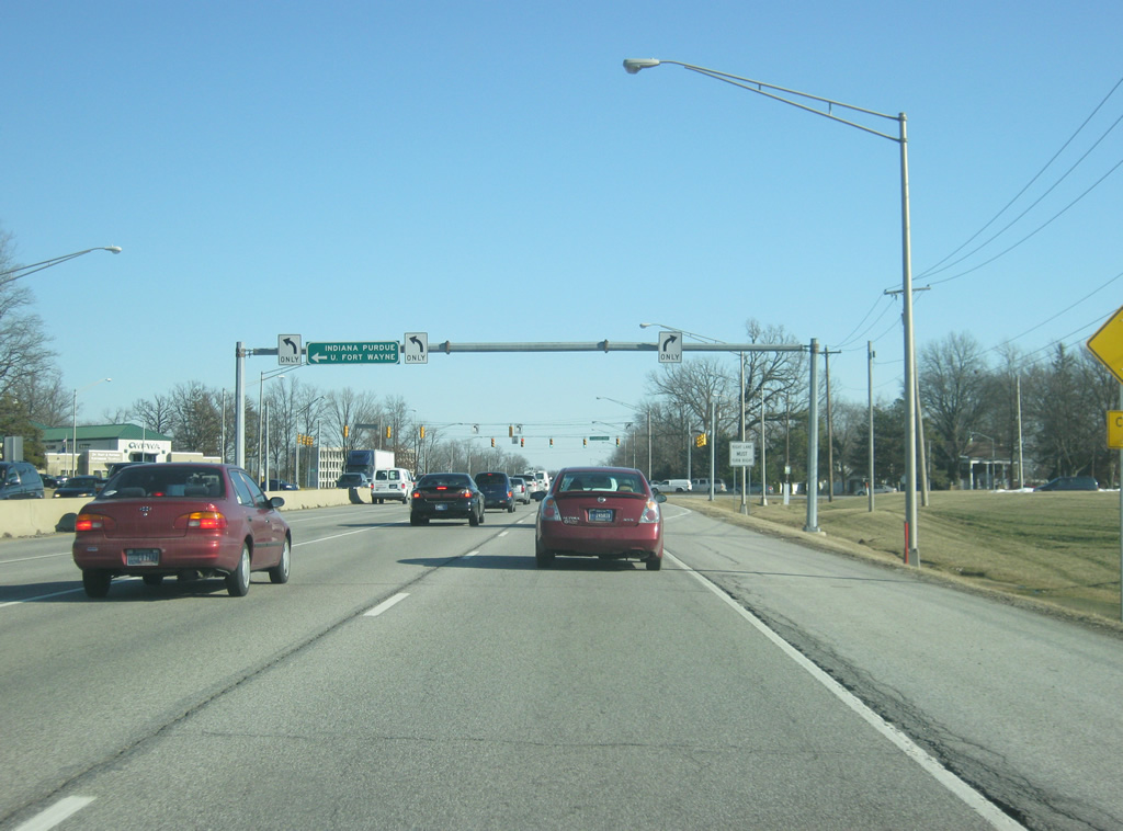
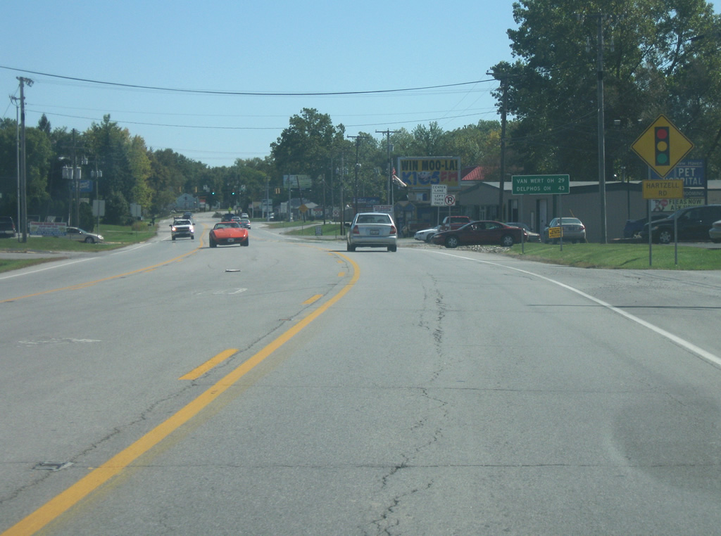
| The distances to the two Ohio communities of Van Wert (29 miles) and Delphos (43 miles) are given. Both routes are reached from U.S. 30, which picks up at the upcoming interchange with Interstate 469. 09/19/09 |
|
| SR 930 comes up to the intersection with Hartzell Road on the south side of New Haven. 09/19/09 |
|
| SR 930 nears the intersection with Minnich Road, which heads to the town of Hoagland eight miles to the south. Interstate 469 south can be reached by taking Minnich Road to the south. Minnich Road continues north to Dawkins Road (Old SR 14). Beyond Minnich Road, the interchange with Interstate 469/U.S. 24 approaches. 09/19/09 |
|
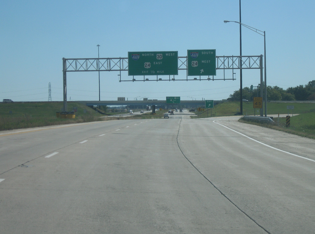
| SR 930 expands to four lanes as it ends at the six ramp interchange with Interstate 469/U.S. 24. Interstate 469 serves as the eastern bypass for Fort Wayne and carries U.S. 30 for its northern half and U.S. 24 for its southern half. U.S. 24 will leave one exit north of here en route toward the Toledo, Ohio area. The highway continues as U.S. 30 as it heads east as a four lane expressway across rural eastern Allen County toward the Ohio communities of Van Wert, Delphos and Mansfield. 09/19/09 |
Page Updated 03-02-2012.