|
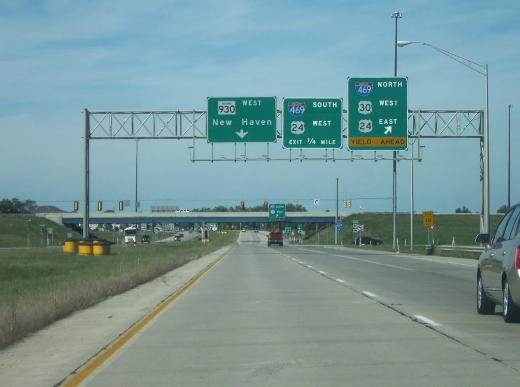
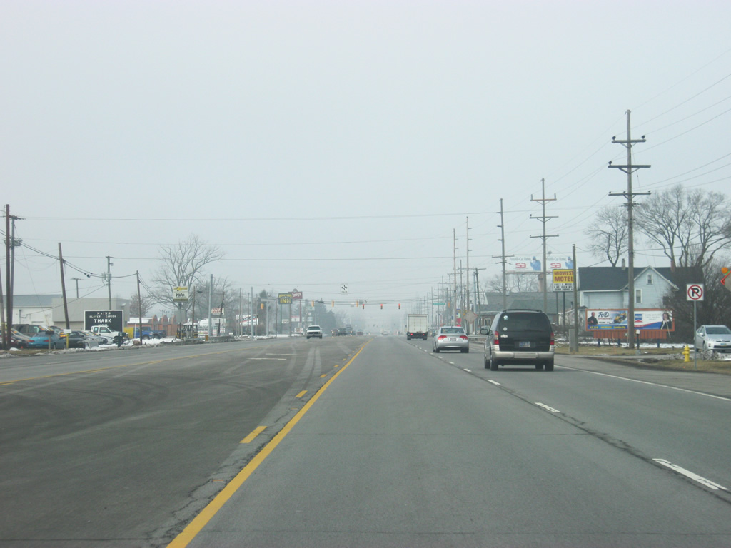
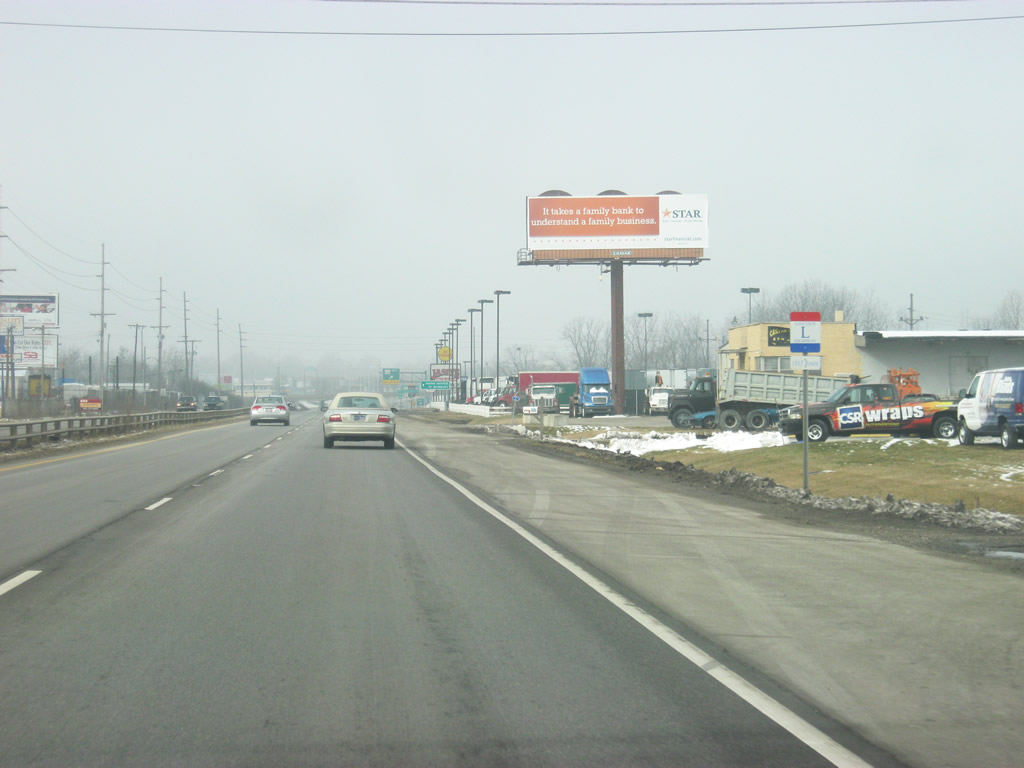
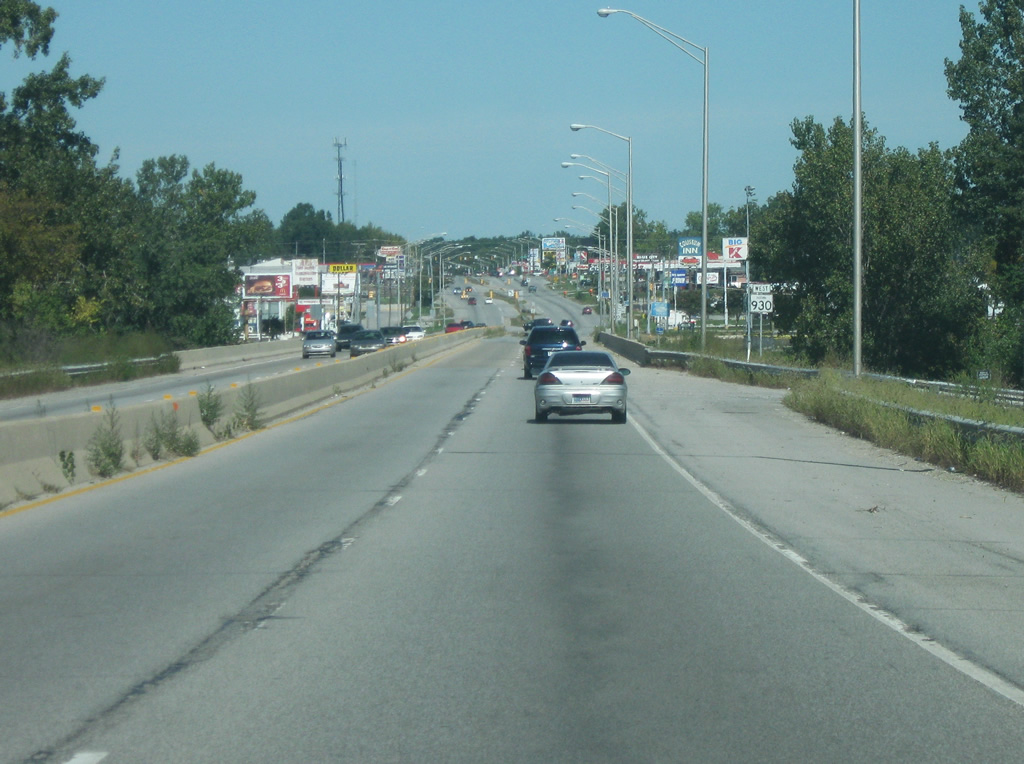
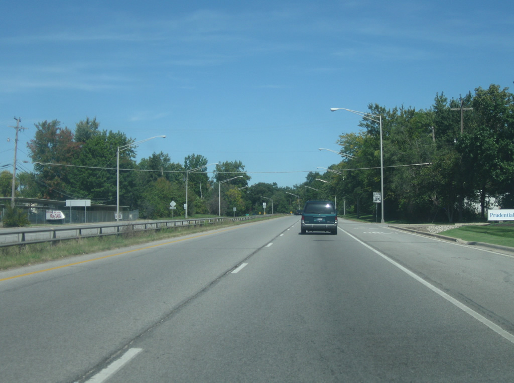
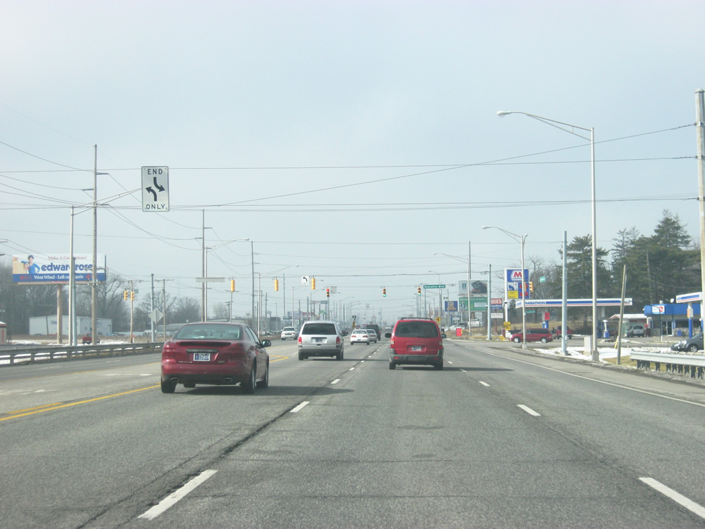
| We begin at the interchange between Interstate 469/U.S. 24 east with U.S. 30 east and SR 930 west. U.S. 30 follows Interstate 469 north to Interstate 69 before turning back toward the southwest to reach U.S. 30 to the northwest of Fort Wayne. SR 930 begins its westward trek into the city of New Haven. 09/19/09 |
|
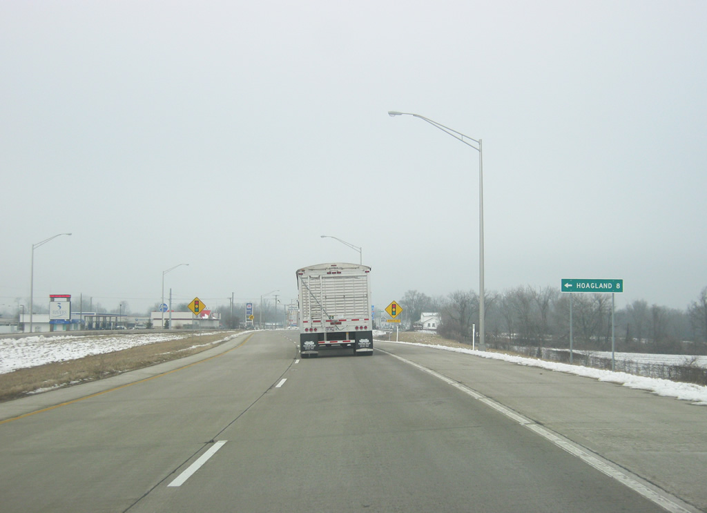
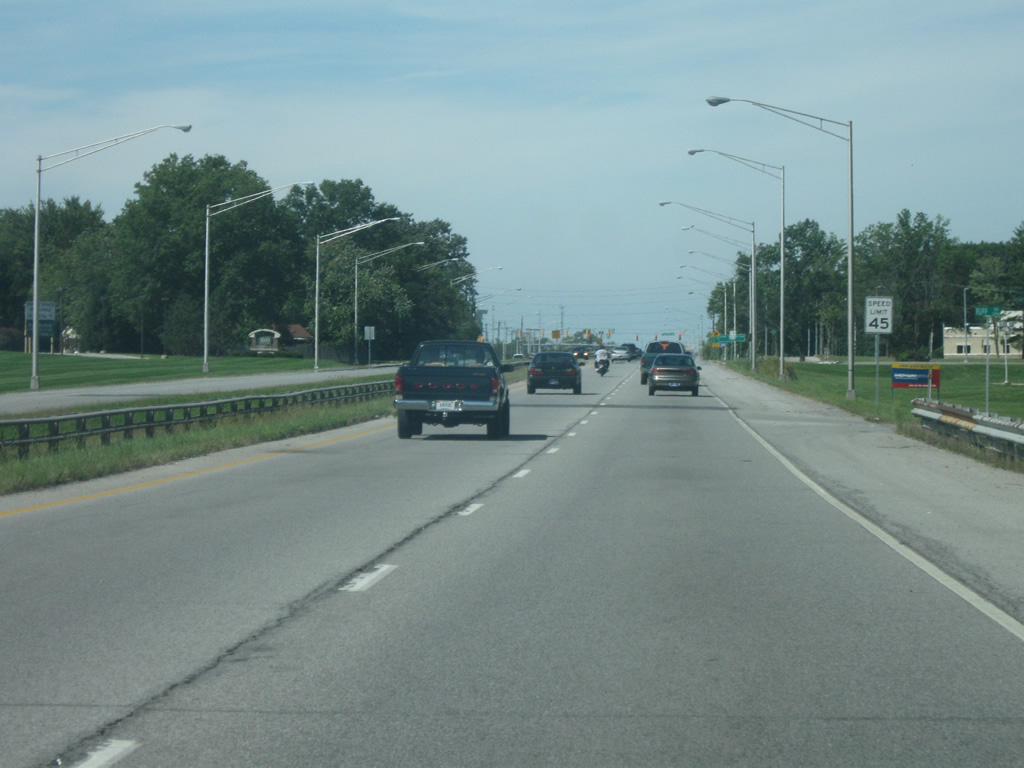
| West of the interchange with Interstate 469 / U.S. 24 east / U.S. 30 west, SR 930 nears the intersection with Minnich Road, which heads south to the town of Hoagland in eight miles. Interstate 469 south can be reached by taking Minnich Road to the south. Minnich Road continues north to Dawkins Road (Old SR 14). 02/06/12 |
|
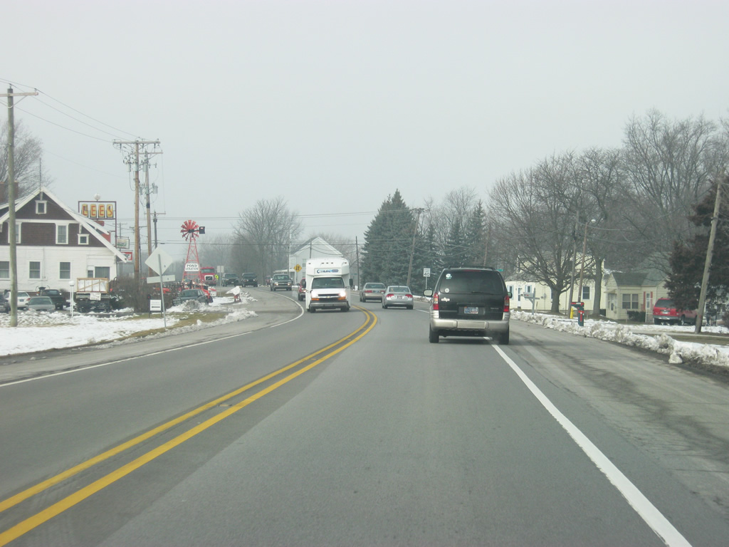
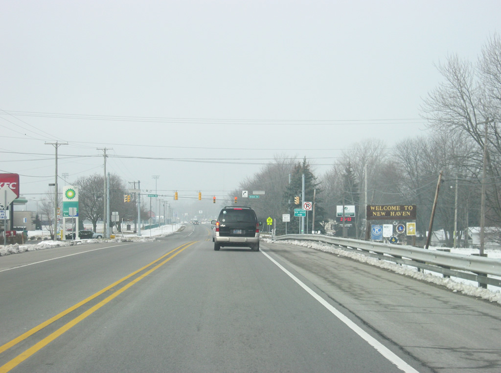
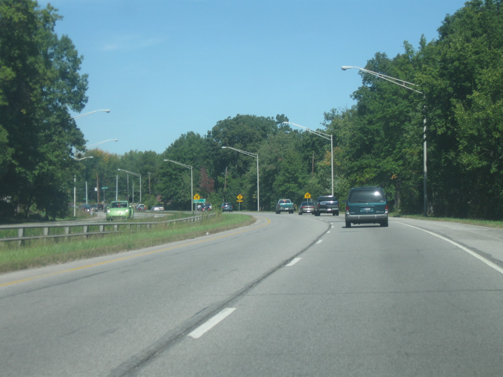
| West of Minnich Road, SR 930 goes down to two lanes as it continues west into New Haven. 02/06/12 |
|
| Nearing the Green Road intersection, SR 930 enters the city of New Haven (population 14,794). 02/06/12 |
|
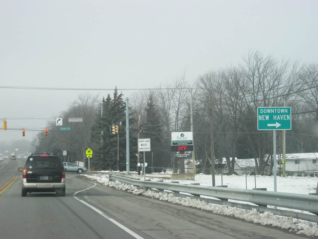
| Green Road heads north from SR 930 to Lincoln Highway and then west to Broadway Street to access Downtown New Haven. 02/06/12 |
|
| SR 930 passes through the south side of New Haven and approaches the intersection with Werling Road. 02/06/12 |
|
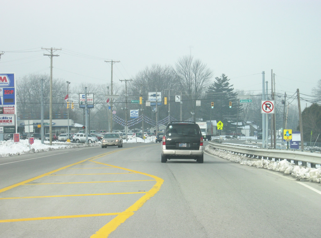
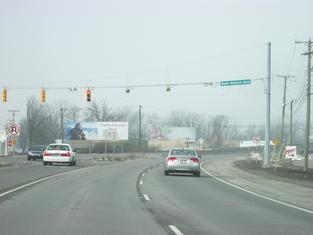
| SR 930 nears the intersection with Lincoln Highway, which joins SR 930 toward the west as a four lane highway. This is where U.S. 30 and U.S. 24 / SR 14 had originally split as those two highways went into New Haven while U.S. 30 went to the southeast. 02/06/12 |
|
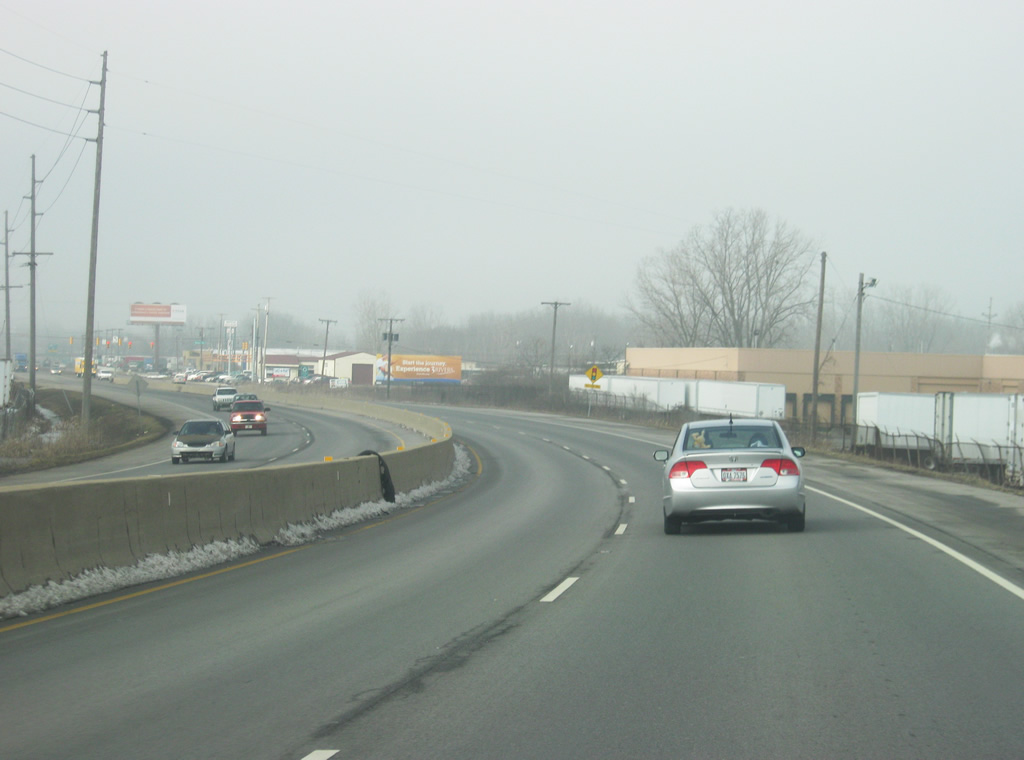
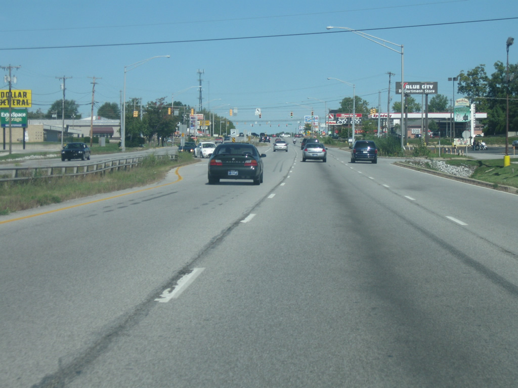
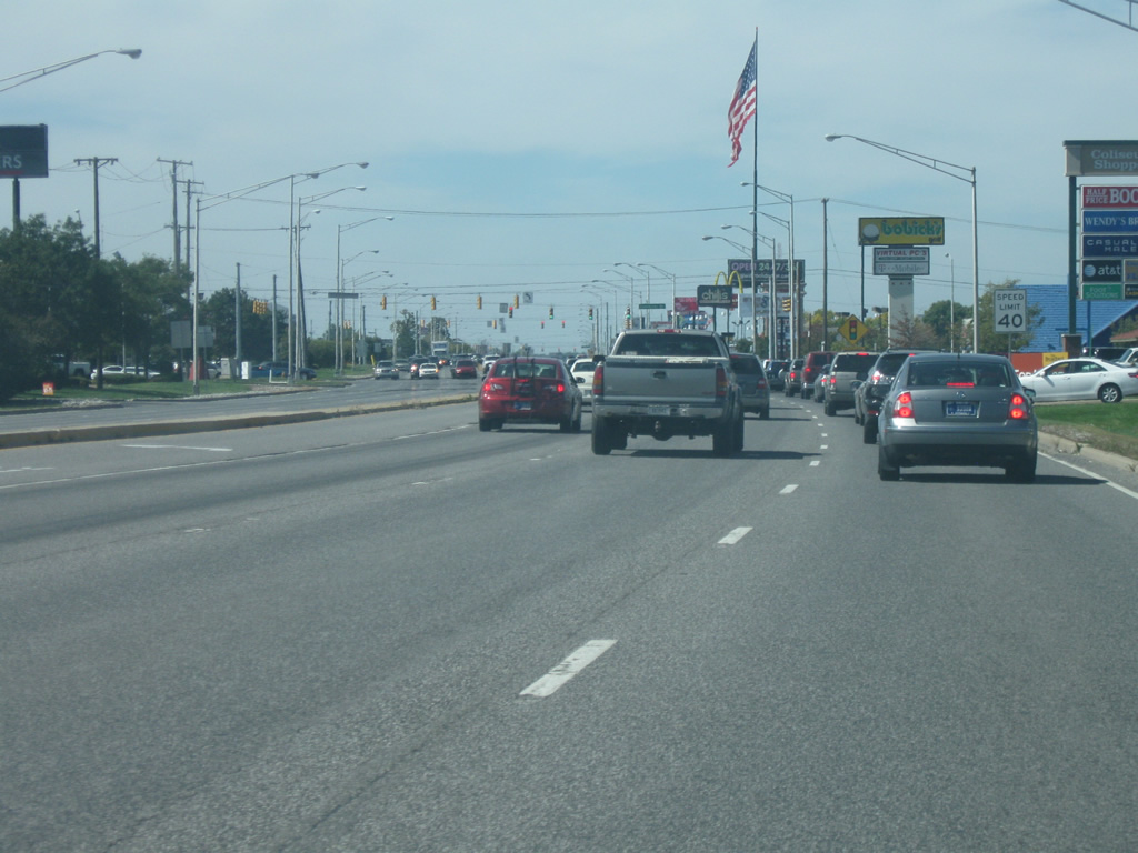
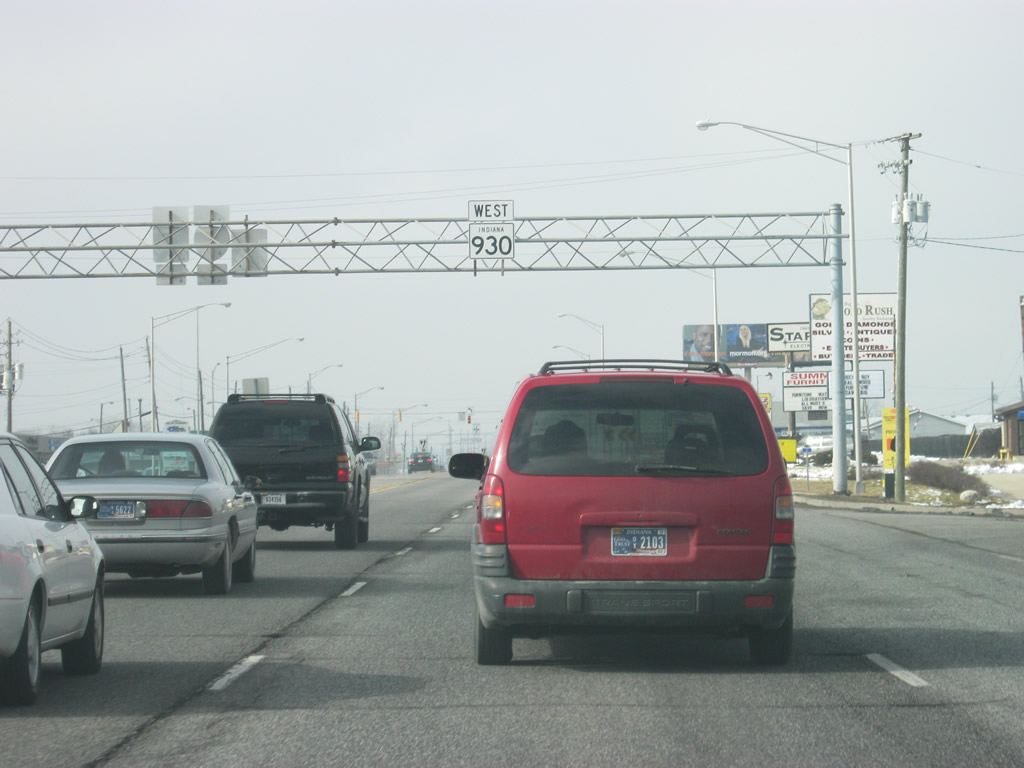
| West of Lincoln Highway, SR 930 is a four lane highway that heads west connecting New Haven with Fort Wayne. The highway is generally a mix of commercial and industrial for this stretch. 02/06/12 |
|
| New Haven Avenue branches off to the west along the original routing of U.S. 30 while SR 930 continues to the northwest. 02/06/12 |
|
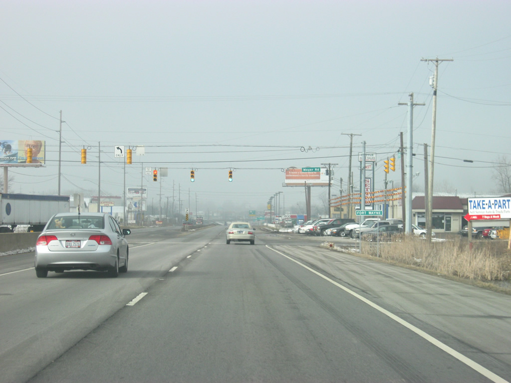
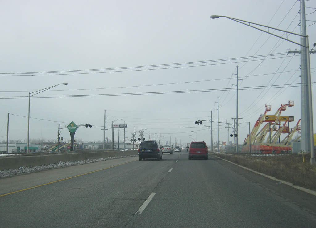
| SR 930 crosses over a pair of railroad tracks as it reverts to a westerly track into the city of Fort Wayne. 02/06/12 |
|
| SR 930 crosses Meyer Road and enters the city of Fort Wayne (population 253,691). Fort Wayne, the Summit City, is the business and services hub of Northeast Indiana, along with parts of Northwest Ohio and Southern Michigan and has been for years the second largest city in the state. 02/06/12 |
|
| A Lincoln Highway shield designates the SR 930 corridor as a part of the original Lincoln Highway as it went into the city of Fort Wayne from the east. 02/06/12 |
|
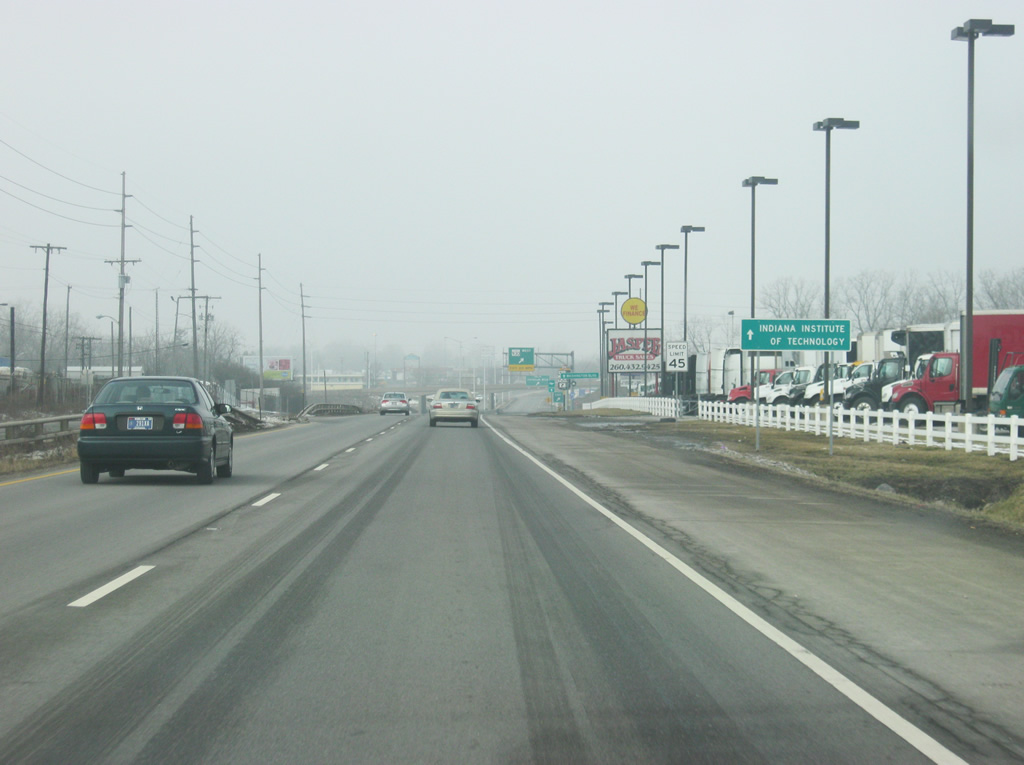
| Traffic bound for the Indiana Institute for Technology is advised to stay straight on Washington Boulevard to the west toward Anthony Boulevard. 02/06/12 |
|
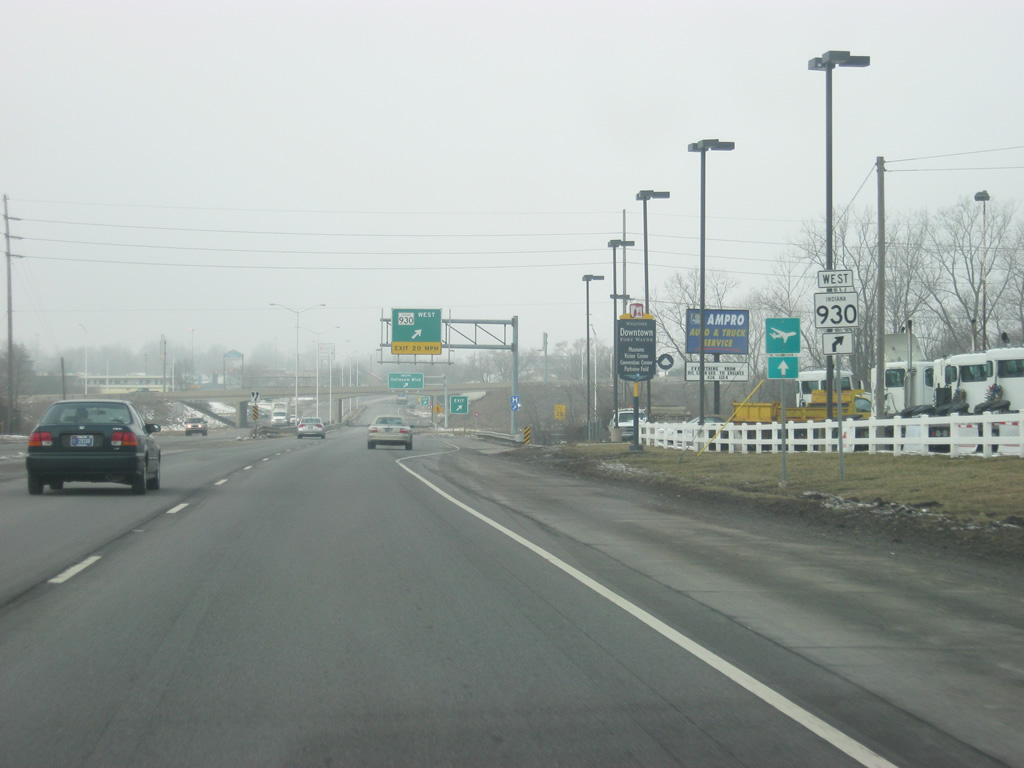
| SR 930 nears the parclo interchange with Coliseum Boulevard. Traffic bound for Downtown Fort Wayne should continue straight along Washington Boulevard. 02/06/12 |
|
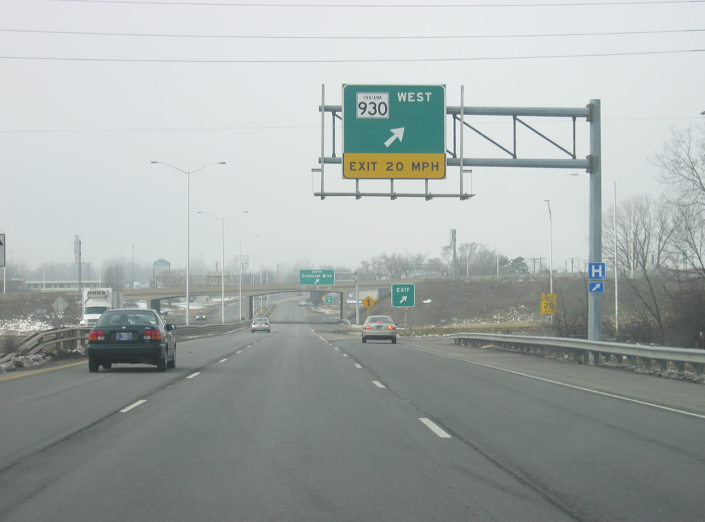
| SR 930 turns north via an on-ramp to Coliseum Boulevard. A loop ramp takes motorists south along Coliseum Boulevard as Washington Boulevard continues west into the east side of Fort Wayne. 02/06/12 |
|
| SR 930 now follows Coliseum Boulevard to the north across the Maumee River as it begins the "bypass" of the north side of Fort Wayne. As with many bypasses however, Coliseum Boulevard has become riddled with stoplights and commercial businesses. 09/19/09 |
|
| The first stoplight on northbound SR 930 (Coliseum Boulevard) is with a Kmart shopping center. 09/19/09 |
|
| Up ahead is the intersection with SR 930 (Coliseum Boulevard) and Lake Avenue. 09/19/09 |
|
| North of the Lake Avenue intersection, the intersection with State Boulevard nears. Parkview Hospital is located to the west along State Boulevard. 09/19/09 |
|
| SR 930 to the north of State Boulevard goes through some residential neighborhoods as the highway starts to turn toward the northwest. 09/19/09 |
|
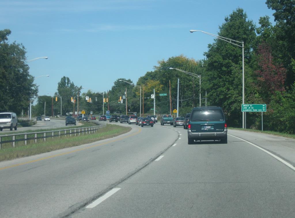
| Approaching is the junction with SR 930 (Coliseum Boulevard) and Vance Avenue, which leads to several schools to the east, including Snider High School. 09/19/09 |
|
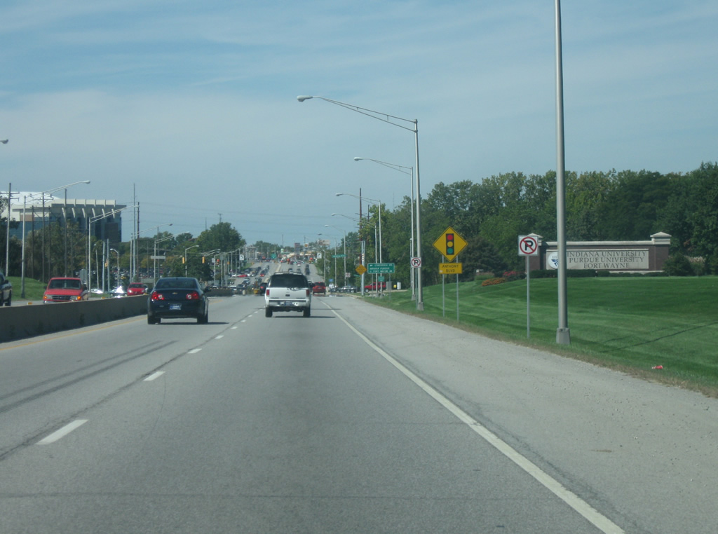
| SR 930 (Coliseum Boulevard) is now going northwest as it heads toward the Crescent Avenue intersection. Crescent Avenue heads northeast along the original routing of SR 37 past the campus of Indiana University-Purdue University Fort Wayne (IPFW). 09/19/09 |
|
| SR 930 (Coliseum Boulevard) passes the southern edge to Indiana University-Purdue University Fort Wayne (IPFW) as it nears the intersection with Anthony Boulevard. Anthony Boulevard continues as a major arterial across the east side of Fort Wayne. 09/19/09 |
|
| SR 930 (Coliseum Boulevard) crosses the St. Joseph River near the Allen County Memorial Coliseum (the road's namesake). The Allen County Memorial Coliseum is home to a variety of events during the year and is the home to the Fort Wayne Komets ice hockey team, Fort Wayne Mad Ants NBA D-League basketball team and IPFW Mastodons athletics. 09/19/09 |
|
| SR 930 (Coliseum Boulevard) to the west of the Allen County Memorial Coliseum expands to six lanes as it enters the retail zone of Fort Wayne's north side, an area that can get congested during peak shopping times. Up first is the stoplight intersection with Parnell Avenue, which heads south toward the Johnny Appleseed Park, the site where Johnny Appleseed was buried. 09/19/09 |
|
| West of Parnell Avenue is the intersection with Clinton Street, which at one time carried U.S. 27 and SR 3 from Downtown Fort Wayne northeast toward the Leo-Cedarville area. Interstate 69 carried both highways upon its completion as the freeway follows Clinton Street further north. 09/19/09 |
|
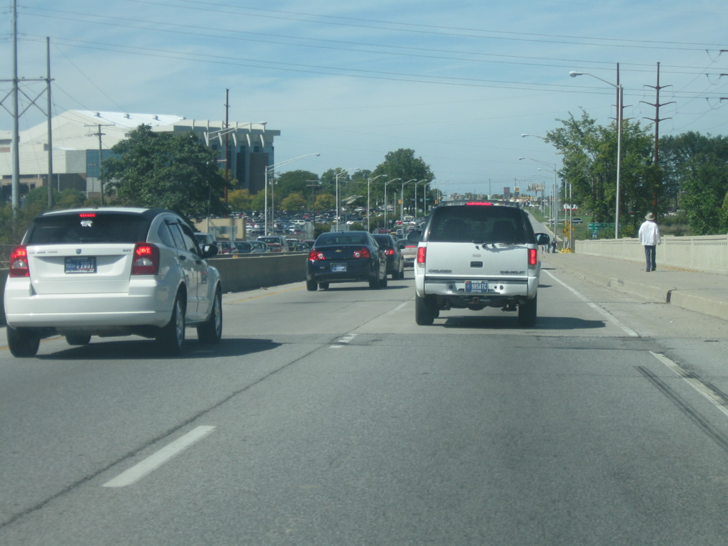
| SR 930 (Coliseum Boulevard) turns toward the west as it follows the northern part of the arc that was the bypass around Fort Wayne. Numerous restaurants and stores line SR 930 (Coliseum Boulevard) up ahead. 09/19/09 |
|
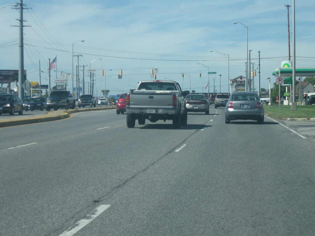
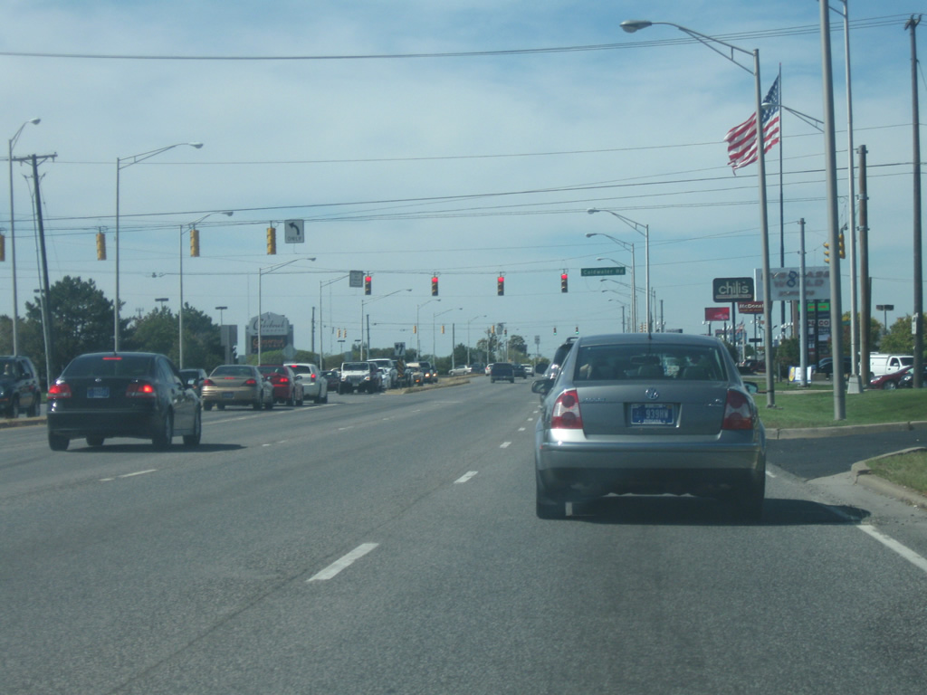
| Now approaching the intersection with Coldwater Road. SR 327 once had stretched along Coldwater Road from U.S. 27 (Lima Road) to the south, north to the town of Garrett where the current SR 327 begins. Coldwater Road is a four lane arterial that connects Interstate 69 with SR 930 (Coliseum Boulevard) and further south toward U.S. 27 (Lima Road). 09/19/09 |
|
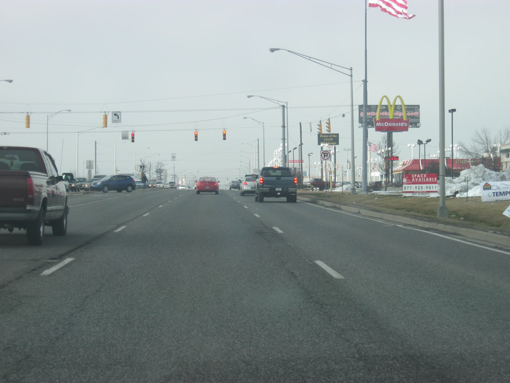
| West of Coldwater Road, SR 930's (Coliseum Boulevard) next stoplight serves several shopping centers, chief among them the Glenbrook Square Mall, the largest shopping mall in Fort Wayne. 02/06/12 |
|
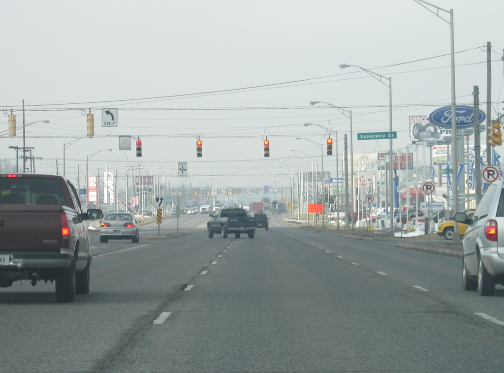
| Speedway Drive provides another access point into Glenbrook Square Mall and a variety of industrial parks to the north of SR 930 (Coliseum Boulevard). 02/06/12 |
|
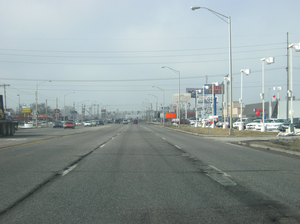
| U.S. 27 (Lima Road) goes for 1,373 miles from its interchange with Interstate 69 to the north of SR 930 (Coliseum Boulevard), south through Fort Wayne en route to Decatur, Portland, Winchester, Richmond and Cincinnati, Ohio en route to its southern terminus in Miami, Florida. 02/06/12 |
|
| U.S. 27 (Lima Road) continues north to its interchange with Interstate 69/U.S. 30 where U.S. 27 used to follow Interstate 69 north toward Lansing and Grayling, Michigan. To the south, U.S. 27 follows Lima Road to Clinton Avenue, which the road follows into Downtown Fort Wayne. U.S. 27 and SR 930 also remain the only INDOT-maintained highways to remain within the loop created by Interstates 69 and 469. 02/06/12 |
|
| A reassurance shield greets SR 930 west (Coliseum Boulevard) motorists west of the intersection with U.S. 27 (Lima Road). 02/06/12 |
|
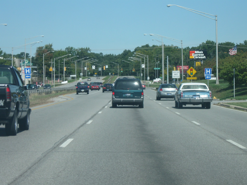
| SR 930 (Coliseum boulevard) continues west as a four lane highway with a center turn lane. In the second picture, the intersection with Executive Boulevard. 02/06/12 |
|
| SR 930 (Coliseum Boulevard) crosses a railroad spur to the west of the Executive Boulevard intersection. 02/06/12 |
|
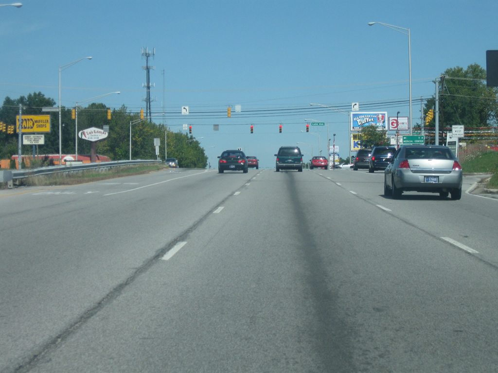
| SR 930 (Coliseum Boulevard) turns toward the right as it follows Goshen Road to the northwest to its interchange with Interstate 69/U.S. 30/U.S. 33. Goshen Road to the south follows the original routing of U.S. 30 and U.S. 33. prior to the construction of Coliseum Boulevard. 02/06/12 |
|
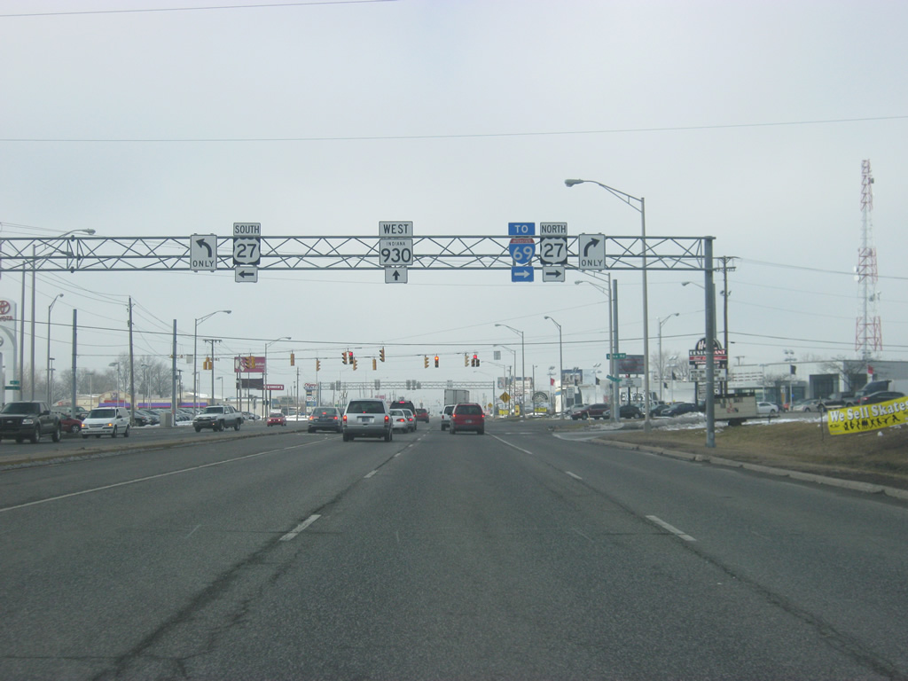
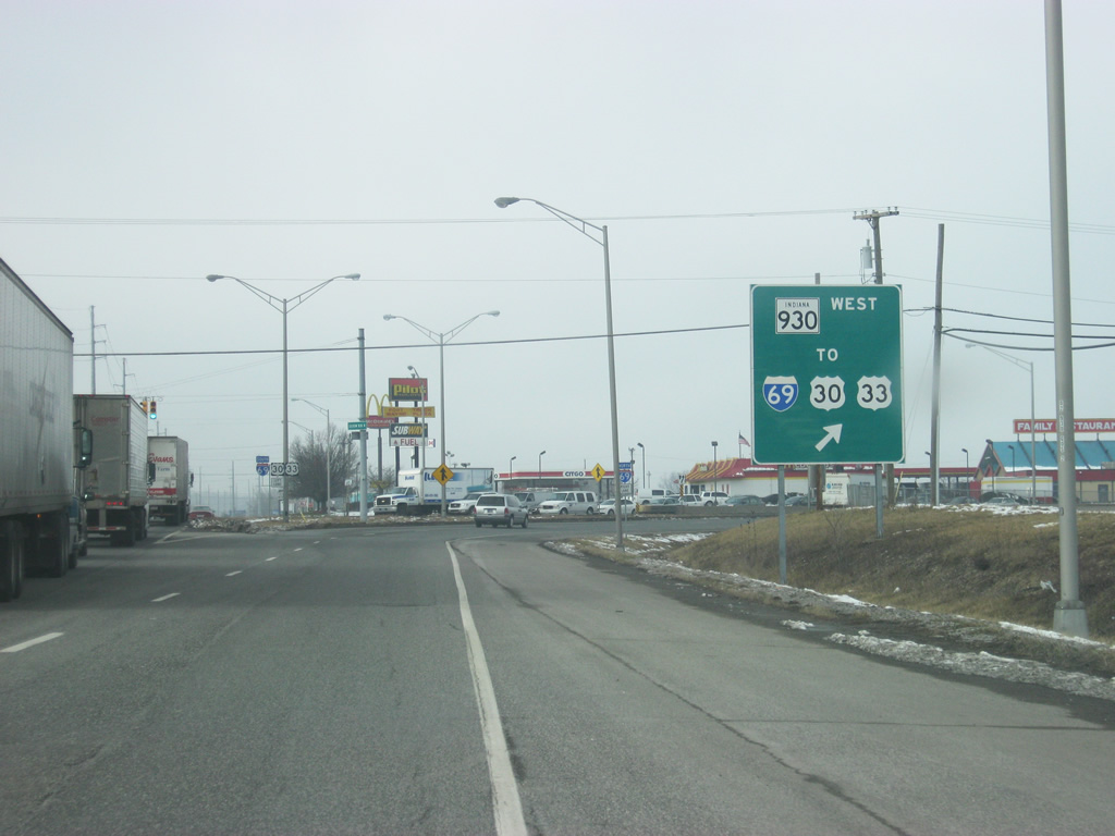
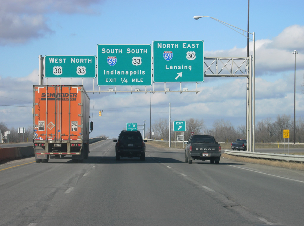
| Now following Goshen Road, the last SR 930 shield greets motorists as they near the cloverleaf interchange with Interstate 69/U.S. 30/U.S. 33. Interstate 69 travels for 358 miles from Interstate 465 in Indianapolis north through Fort Wayne and past Angola, Lansing and Flint before ending at the Blue Water Bridge in Port Huron, Michigan at the Canadian border. In Indiana, the highway is currently 157 miles in length but will be extended to go for about 330 miles from Evansville in the far southwest, north to Indianapolis. Eventually, the highway will be extended south to the Mexican border in Texas. 02/06/12 |
|
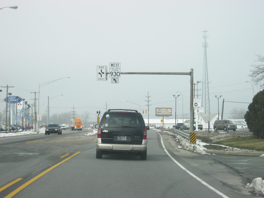
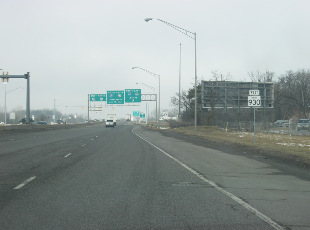
| SR 930 (Goshen Road) ends at the cloverleaf interchange with Interstate 69. U.S. 33 meets the interchange from the south and U.S. 30 meets the interchange from the north. Both highways head west from the interchange to their split where U.S. 33 continues northwest toward Churubusco, Ligonier, Goshen and Elkhart. U.S. 30 continues west toward Columbia City, Warsaw, Plymouth, Valparaiso and the Chicago area. 02/06/12 |
Page Updated 03-02-2012.