|
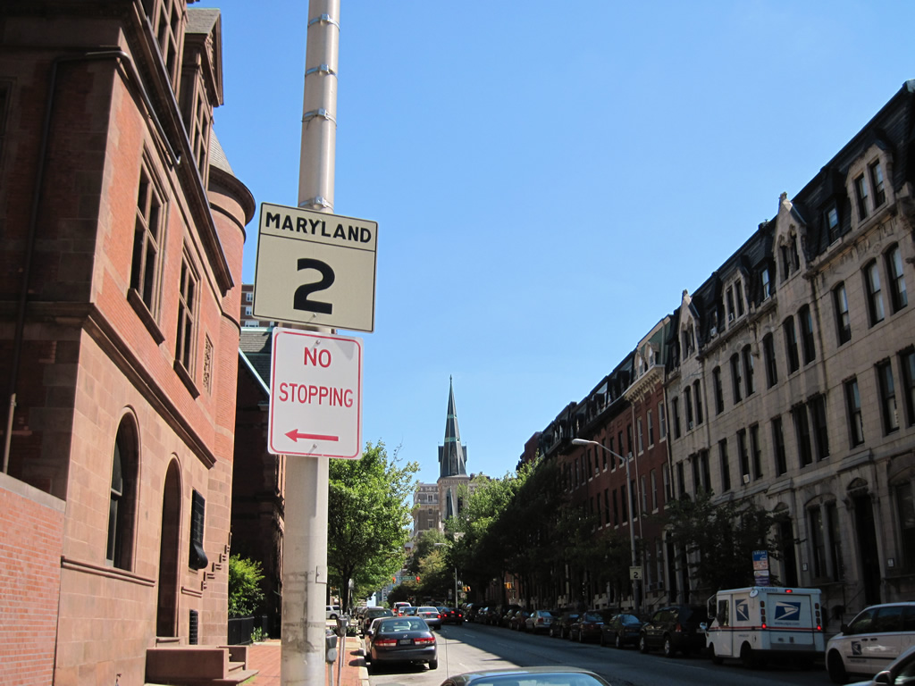
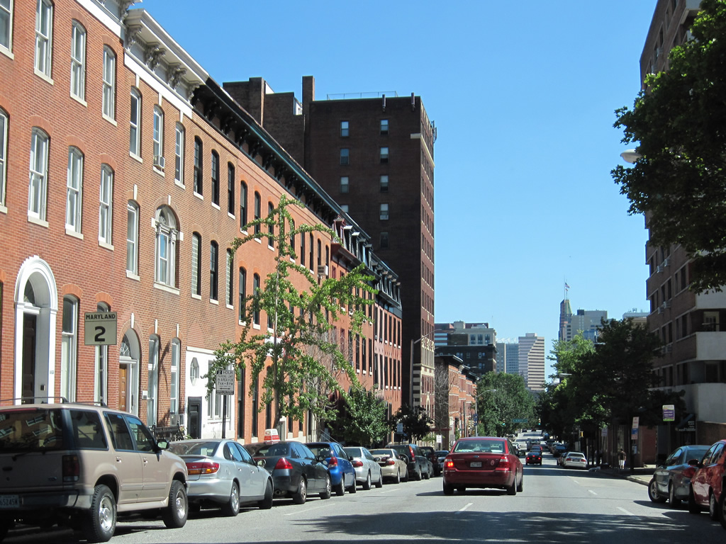
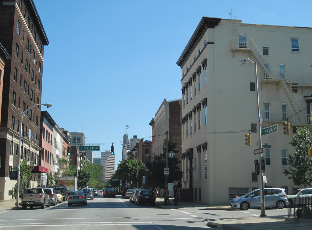
| One block after MD 2 begins, St. Paul Street intersects MD 25 (Lafayette Street) north. Lafayette Street combines with Lanvale Street two blocks to the west, becoming Falls Road north along Jones Falls. MD 25 follows Falls Road, parallel to Interstate 83, to Brooklandville outside the Baltimore Beltway. 07/02/10 |
|
| MD 25 south travels Lanvale Street east from Maryland Avenue to end at MD 2 (Calvert Street) north. Lanvale Street otherwise continues to Greenmount Avenue and Cemetery. 07/02/10 |
|
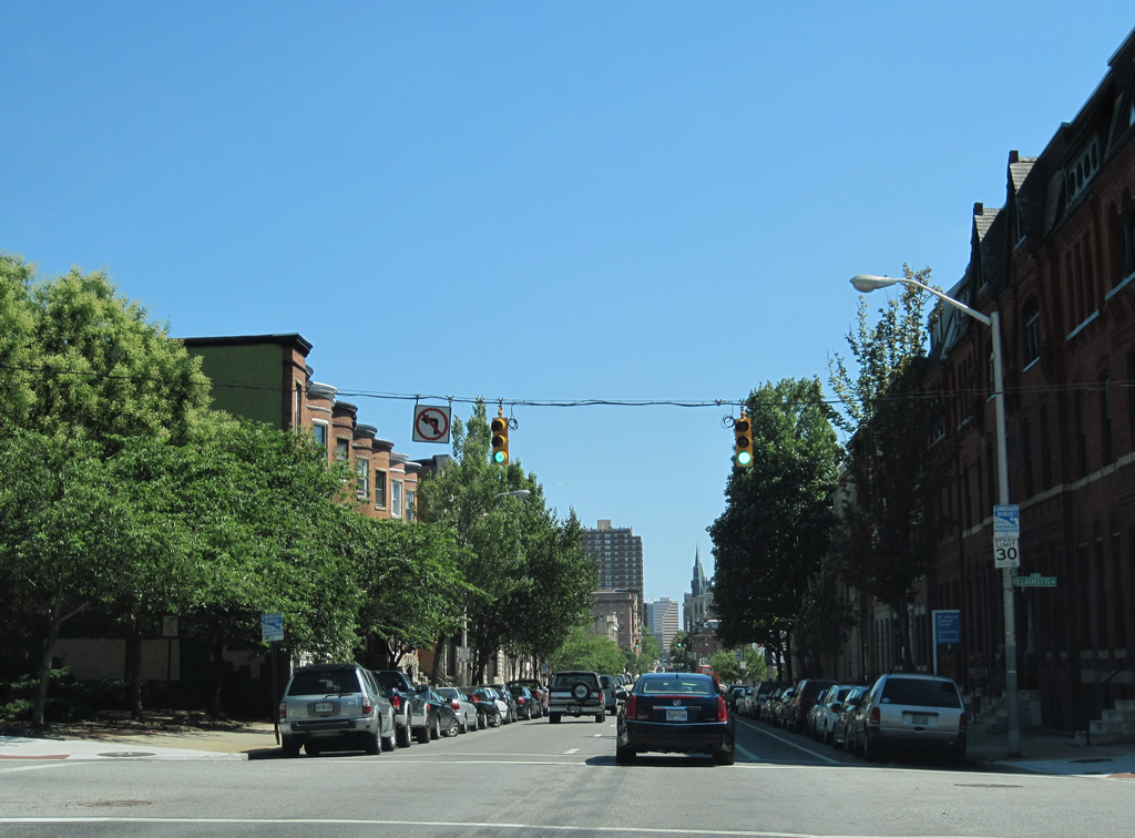
| MD 2 (St. Paul Street) passes over Interstate 83 and intersects Mt. Royal Avenue. Mt. Royal Avenue comprises a divided boulevard east to Guilford Avenue / The Fallsway and west to U.S. 1 (North Avenue) at Exit 6 of Interstate 83. Right turns onto Mt. Royal Avenue are prohibited from St. Paul Street southbound due to the entering ramp from Interstate 83 at the same intersection. 07/02/10 |
|
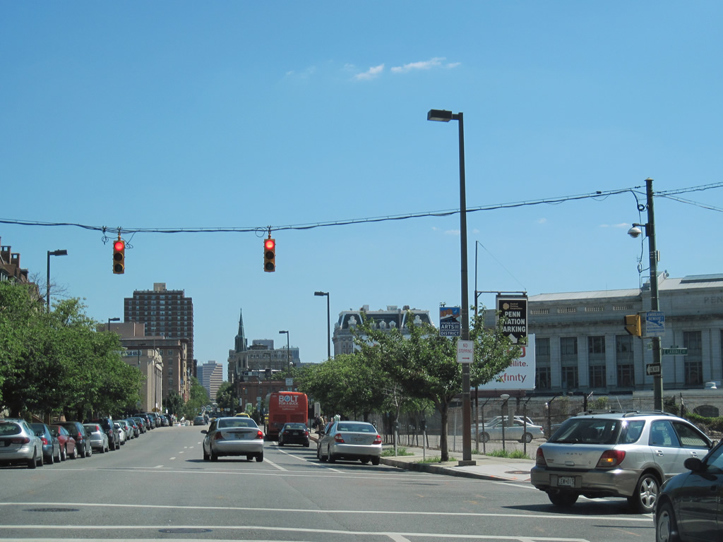
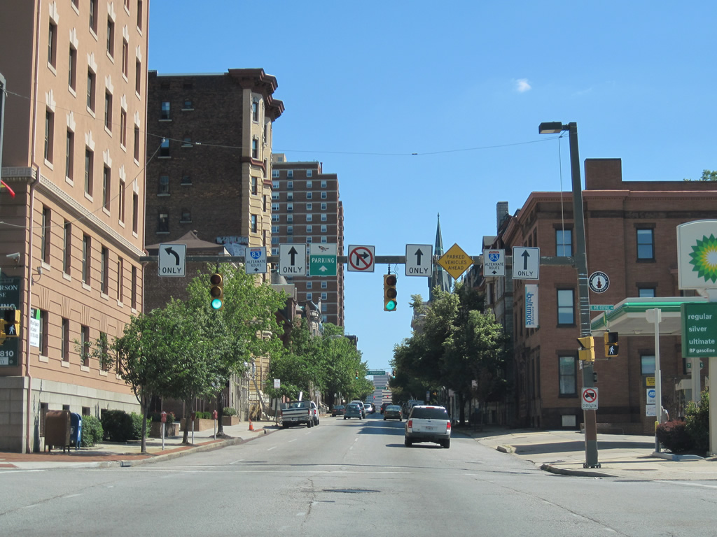
| The Interstate 83 northbound trailblazer and a set of Alternate Route signs direct motorists to remain on MD 2 south for the Jones Falls Expressway. However signage to northbound is nonexistent from this point southward. 07/02/10 |
|
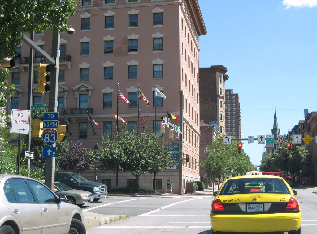
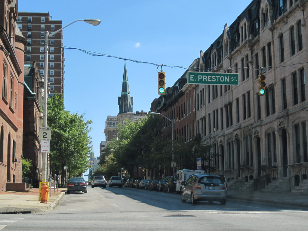
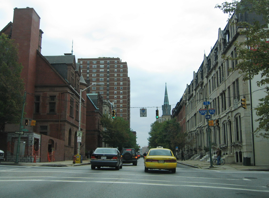
| Motorists bound for Interstate 83 should use Preston Street one block west to Charles Street north for its on-ramp to the Jones Falls Expressway. Preston Street leads west to Maryland Avenue ahead of its turn onto Martin Luther King, Jr. Boulevard, hence the trailblazers for Interstates 95 & 395. 07/02/10, 08/27/05 |
|
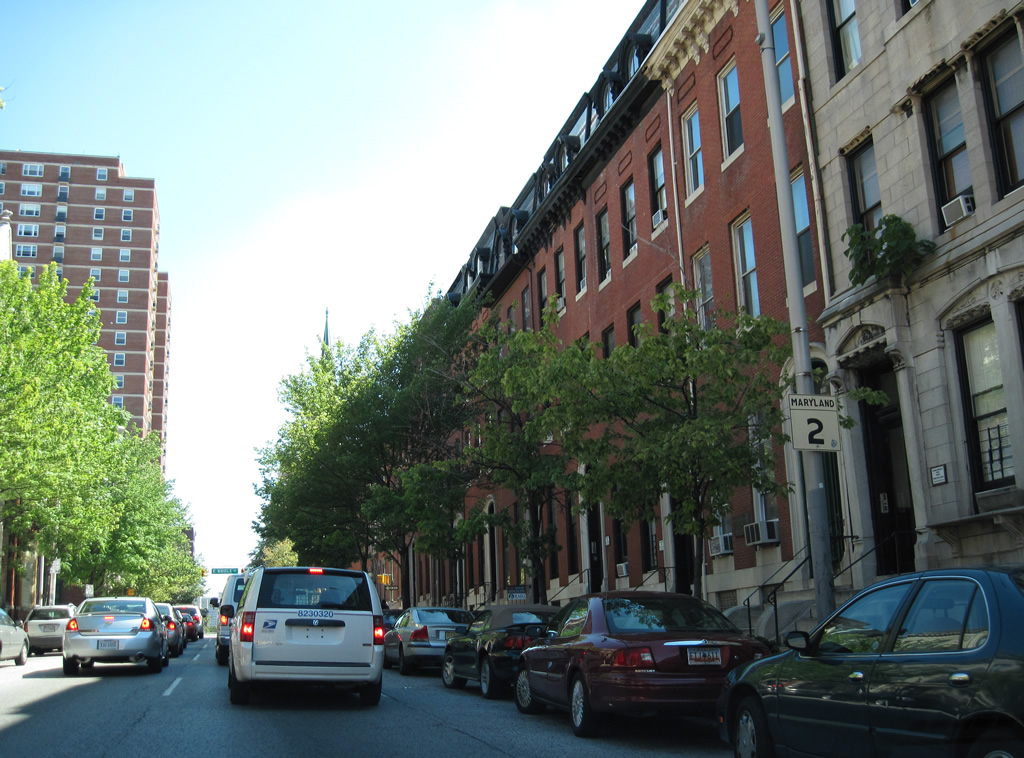
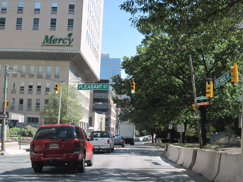
| Older style reassurance markers line both sides of MD 2 on the St. Paul Street block between Preston and Biddle Streets. These are the first shields of the 80.56 mile route. 07/02/10, 06/27/10 |
|
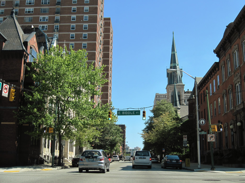
| Southbound at the signalized intersection with Biddle Street. Biddle Street travels east to the Colington Square neighborhood of central Baltimore from Maryland Avenue to Broadway. 07/02/10 |
|
| MD 2 (St. Paul Street) southbound next encounters Chase Street. Chase Street travels west to the Mount Vernon community. 07/02/10 |
|
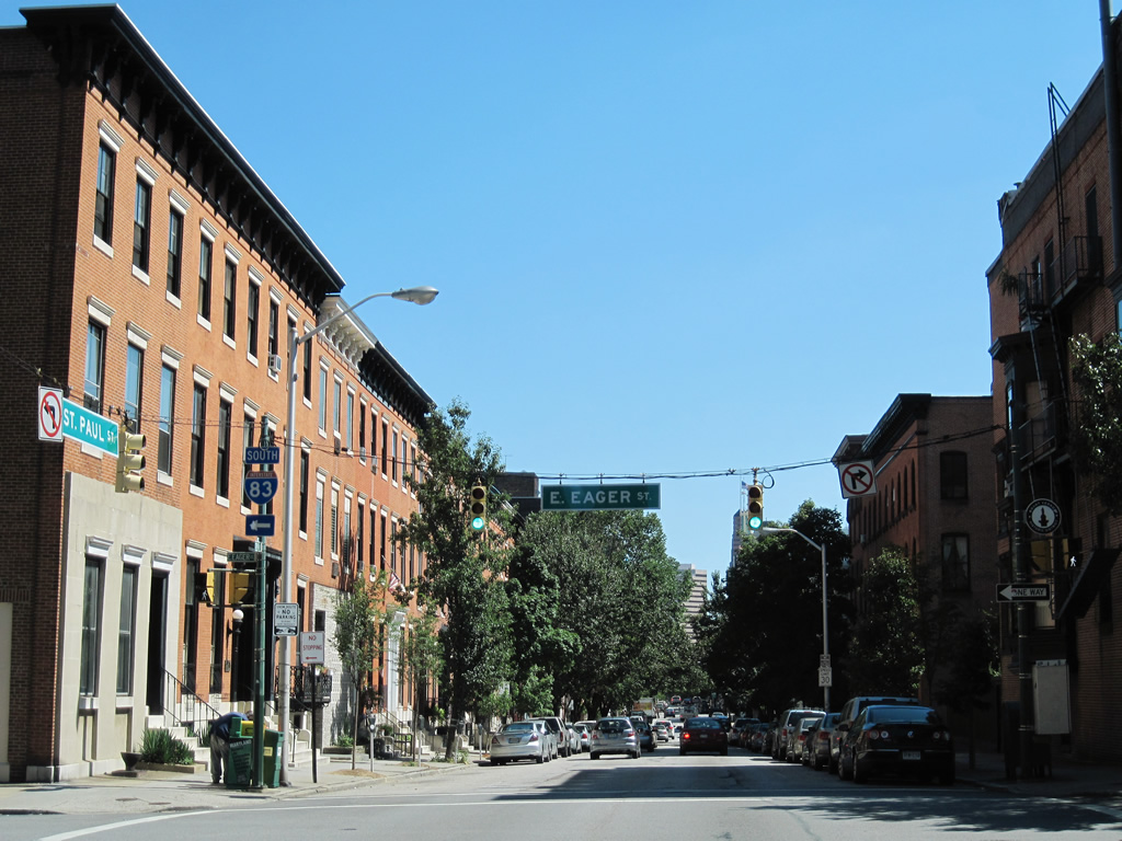
| Another older style reassurance shield lies along St. Paul Street southbound between Chase and Eager Streets. Row homes, typical of much of Baltimore, line MD 2 southbound through this stretch. 07/02/10 |
|
| Eager Street provides access to the final mile of Interstate 83 southbound to Inner Harbor East and Fells Point. The final on-ramp departs Eager Street beyond Calvert Street (MD 2 north) for the freeway ahead of the Fayette and President Street terminus. 07/02/10 |
|
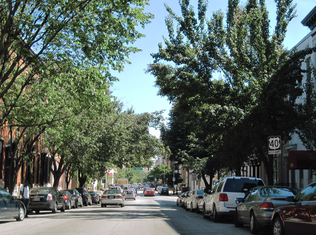
| Read Street ends two blocks to the east of MD 2 (St. Paul Street) south. West of St. Paul Street, Read continues to Chase and Howard Streets. 07/02/10 |
|
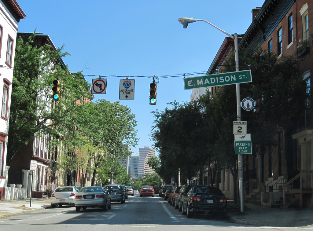
| MD 2 intersects Madison Street and sees another reassurance marker. Madison Street flows west from Johns Hopkins Hospital, passes under Interstate 83, and meets St. Paul Street. West of MD 2, Madison continues to the MD 129 northbound turn from Paca to McCulloh Streets. 07/02/10 |
|
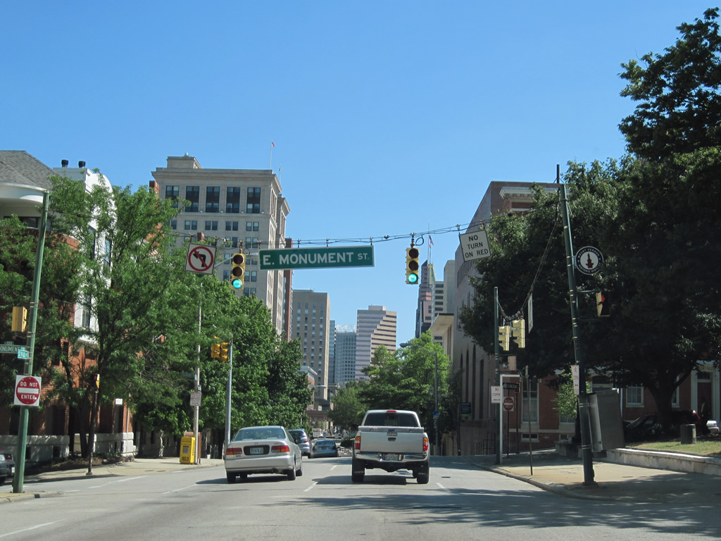
| Monument Street links Guilford Avenue with MD 2 (St. Paul Street) south at Mount Vernon Place. Mt. Vernon Place occupies the two blocks between St. Paul Street and Cathedral Street surrounding Washington Monument. 07/02/10 |
|
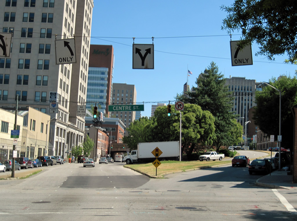
| MD 2 approaches U.S. 40 (Orleans Street) beyond the intersection with Centre Street. U.S. 40 follows the Orleans Street viaduct east from St. Paul Street to Hillen Street. The MD 2 mainline passes under the viaduct along with Calvert Street and Interstate 83. To access U.S. 40, motorists must merge onto a connecting roadway parallel to St. Paul Street. 07/02/10 |
|
| MD 2 splits with St. Paul Street for St. Paul Place at Centre Street. St. Paul Place passes underneath the Orleans Street viaduct to the east of the St. Paul Street intersection with U.S. 40. Centre Street meanwhile connects Monument Street, east of Interstate 83, with Druid Hill Avenue through northern reaches of the Baltimore central business district. 07/02/10 |
|
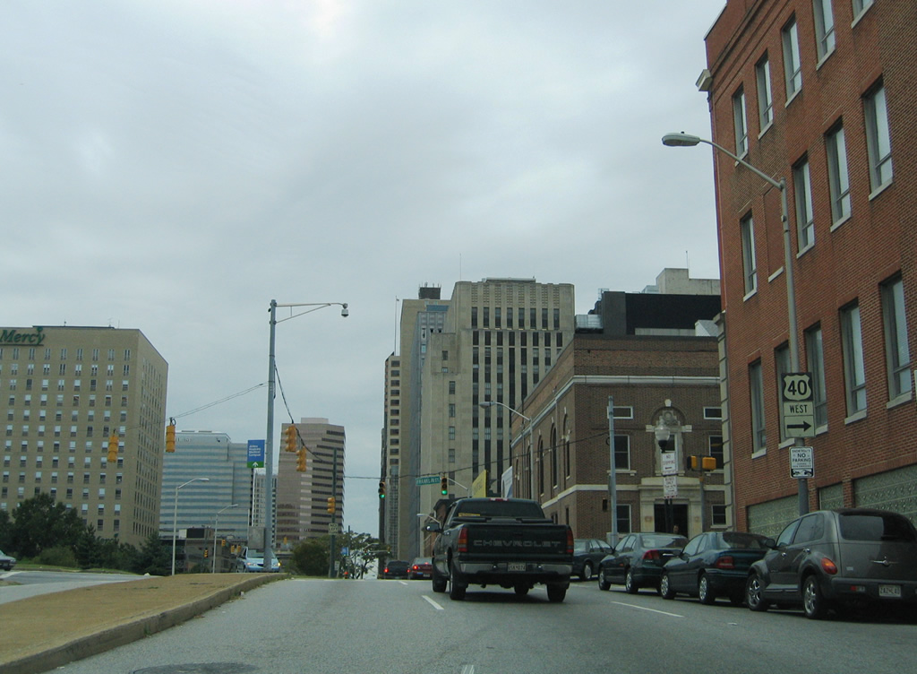
| St. Paul Street carries two-way traffic parallel to St. Paul Place as it handles the movements between MD 2 and U.S. 40 (Orleans Street). U.S. 40 partitions into a one way street couplet of its own west of MD 2 in the form of Franklin Street (west) and Mulberry Street (east). 08/27/05 |
|
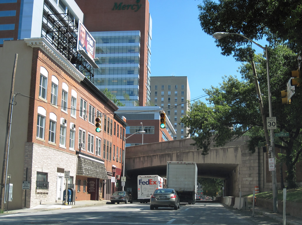
| A set of traffic lights and flashers govern the movements between MD 2 (St. Paul Place) south at Franklin Street. Orleans Street Viaduct looms overhead in the background. Franklin Street carries two-way traffic between south and northbound MD 2. 07/02/10 |
|
| MD 2 shield assembly posted on St. Paul Place southbound between Franklin Street and the Orleans Street Viaduct (U.S. 40). 07/02/10 |
|
| Hillen Street angles southwest from Ensor Street to U.S. 40 (Orleans Street Viaduct) and MD 2 (Calvert Street / St. Paul Place). 07/02/10 |
|
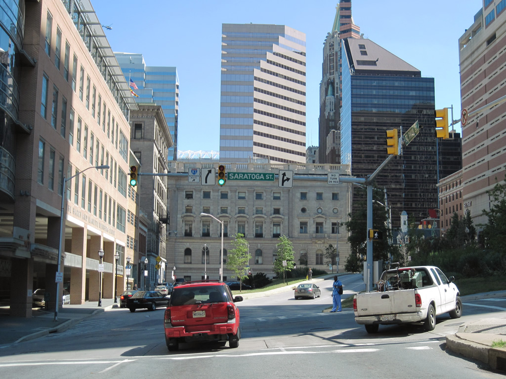
| One block further south, MD 2 intersects Saratoga Street. Saratoga Street flows west to Lexington Market. 07/02/10 |
|
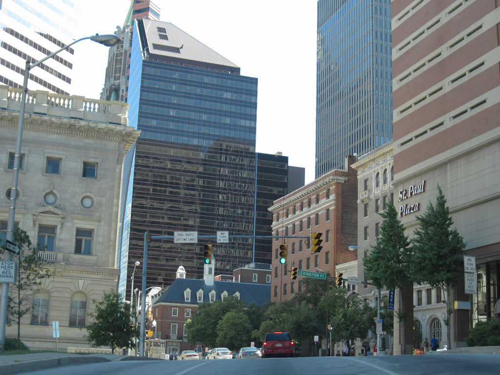
| St. Paul Place and Street merge at the MD 2 southbound intersection with Lexington Street. 07/02/10 |
|
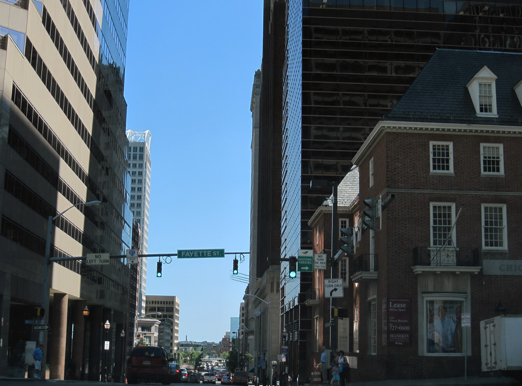
| MD 2 travels by the Baltimore City Courthouse and meets Fayette Street westbound. Fayette Street travels through the central business district to the University of Maryland at Baltimore. Some historical maps show the street as U.S. 40 Alternate. 07/02/10 |
|
| Light Street (unsigned MD 2) exits downtown Baltimore along the Inner Harbor between Pratt Street and Key Highway. The route doubles with Key Highway as an alternate route to Interstate 395 for motorists bound for Interstate 95. Trailblazers, such as this posted south of Conway Street, are found along the route. 06/20/12 |
|
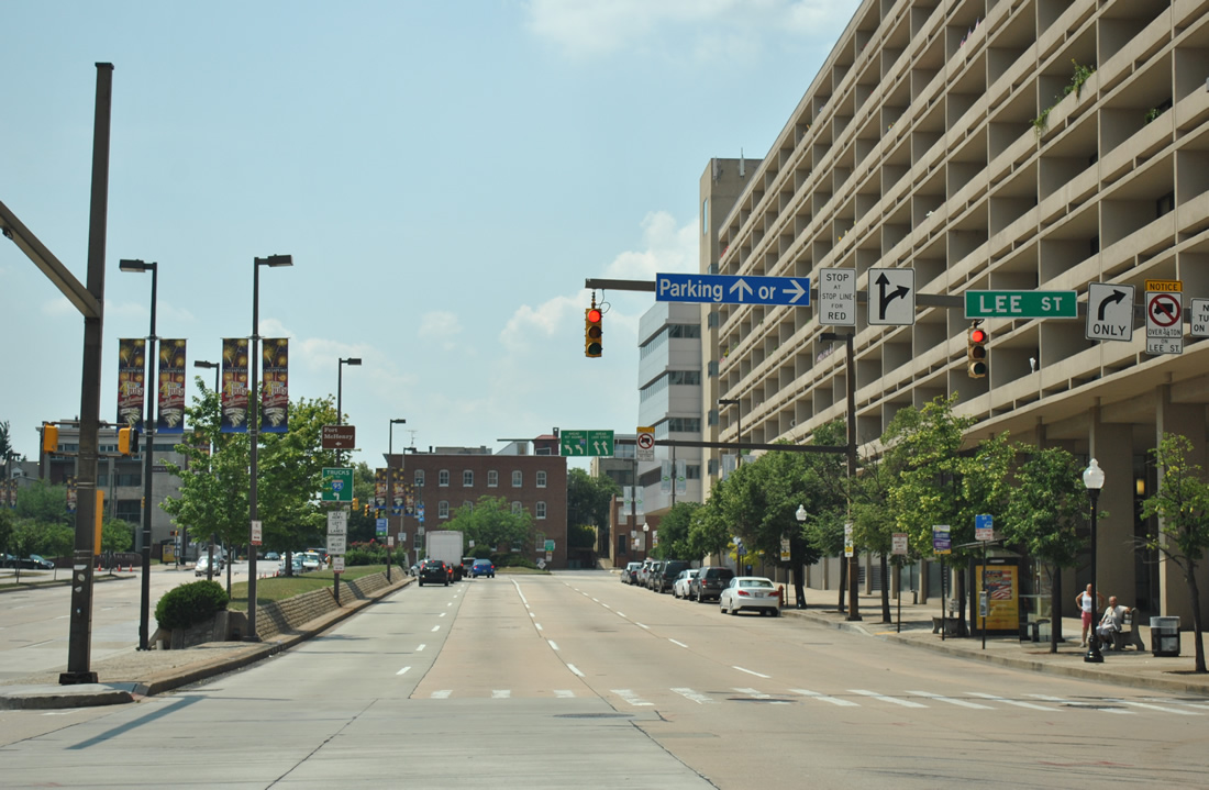
| MD 2 southbound turns west from Light Street onto Lee Street for one block to Charles Street south. The movement is unsigned.
MD 2 northbound utilizes Montgomery Street east to Light Street north from the next intersection. 06/20/12 |
|
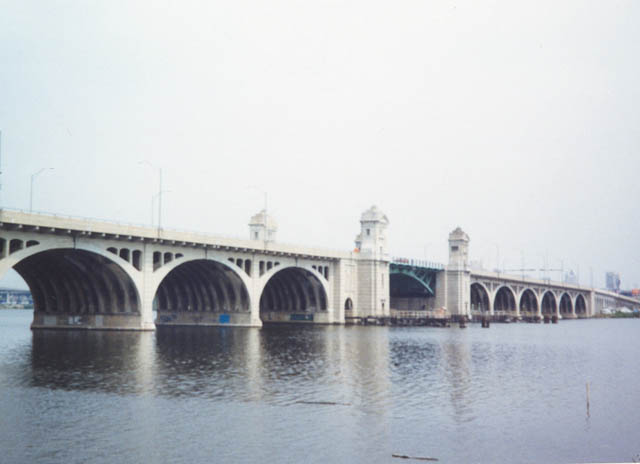
| South of downtown, MD 2 follows a concrete arch bridge with a draw span across the Middle Branch of the Patapsco River. Signed as Hanover Street, the state highway crosses the river between Cherry Hill and Interstate 95 in South Baltimore. The view depicted was taken from Broenig Park along the Patapsco River to the southeast. 06/08/97 |
|
| This older-style MD 2 shield was located along southbound at the corner of Patapsco and Potter Streets in south Baltimore. Patapsco Avenue enters the scene from the Patapsco River crossing adjacent to Cherry Hill Park. The east-west street becomes unsigned MD 173 to the east en route through Brooklyn. 10/14/01 |
|
| A second older style reassurance shield for MD 2 lies along Potee Street southbound after the intersection with Patapsco Avenue (MD 173). Potee Street carries MD 2 between Hanover Street and the Baltimore city line at MD 170 (Belle Grove Road). 10/10/04 |
|
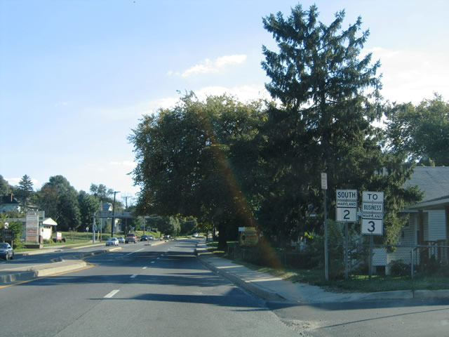
| MD 2 (Potee Street) intersects MD 170 (Belle Grove) at a five-way intersection with Hanover Street, Jack Street, and the Governor Ritchie Highway. MD 2 departs the city of Baltimore via the Ritchie Highway southbound to Glen Burnie. MD 170 turns southwest en route to Pumphrey and Linthicum. A MD 3 Business trailblazer is coupled with the MD 2 southbound marker posted after MD 170 for the connection in Glen Burnie with the Robert Crain Highway. 10/10/04 |
|
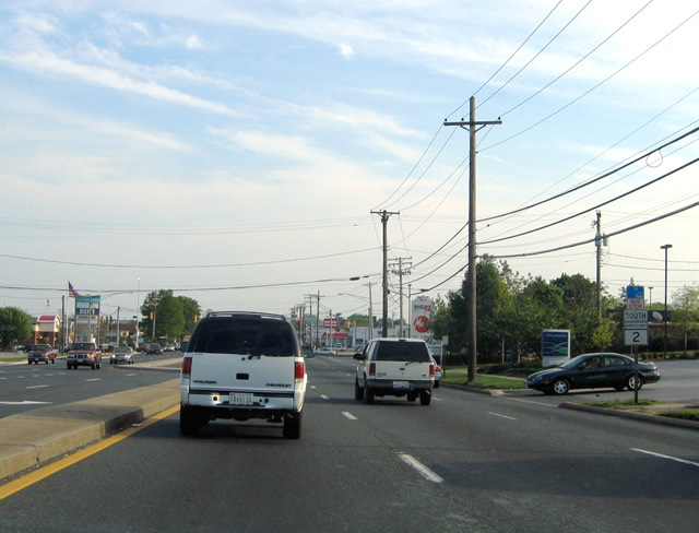
| Continuing along the Governor Ritchie Highway southbound through the wye interchange with Interstate 895 Spur near Furnace Branch and Glen Burnie. Interstate 895 Spur dumps traffic onto MD 2 southbound ahead of MD 710 (Ordnance Road). I-895 Spur links MD 2 and I-97 with the Harbor Tunnel Thruway in Baltimore city. 04/30/04 |
|
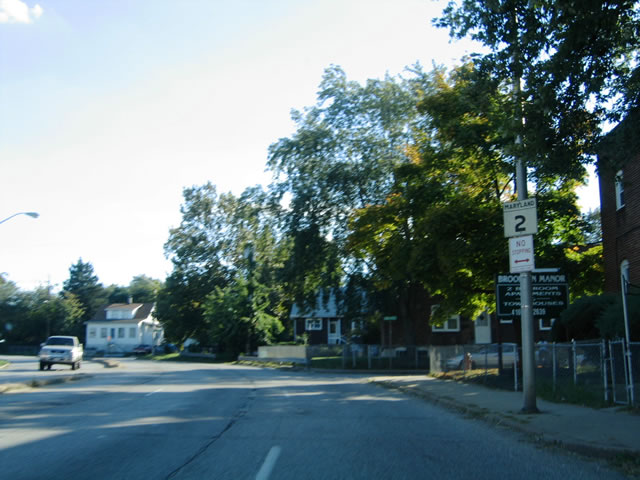
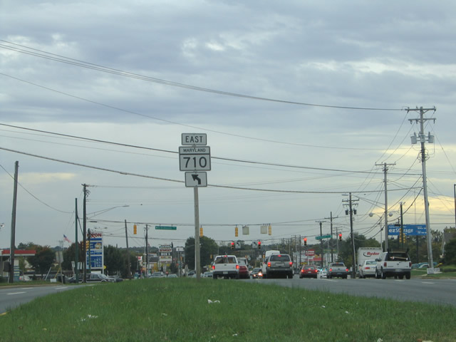
| Approaching the western terminus of MD 710 (Ordnance Road) on MD 2 (Ritchie Highway) southbound at Orchard and Shelly Roads. MD 710 stems east from the Ritchie Highway 2.16 miles to the Curtis Bay GSA Depot and Brooklyn Manor in south Baltimore. 04/30/04 |
|
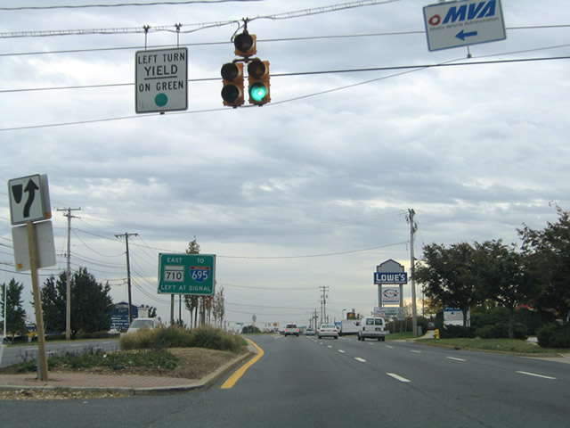
| MD 710 follows Ordnance Road east from MD 2 to MD 10 freeway and MD 173 (Pennington Avenue / Hawkins Point Road). The southeast corner of the junction of MD 2 (Ritchie Highway) and Ordance Road is home to the Glen Burnie Mall. 04/30/04 |
06/08/97, 10/14/01, 04/30/04, 10/10/04, 08/27/05, 06/27/10, 07/02/10, 06/20/12 by AARoads
Page Updated 07-14-2012.