|
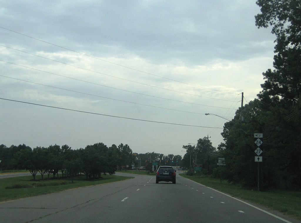
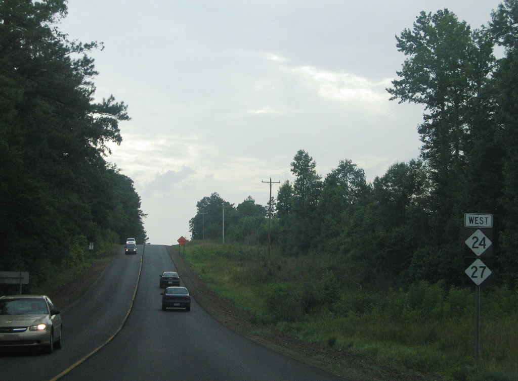
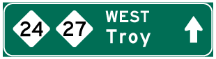
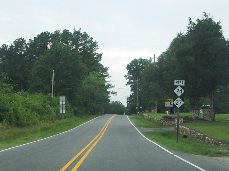
| Leaving the diamond interchange with U.S. 1 on NC 24/27 west. U.S. 1 was moved onto an expressway bypass east of Cameron in June 2005. 07/12/05 |
|
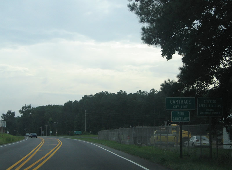
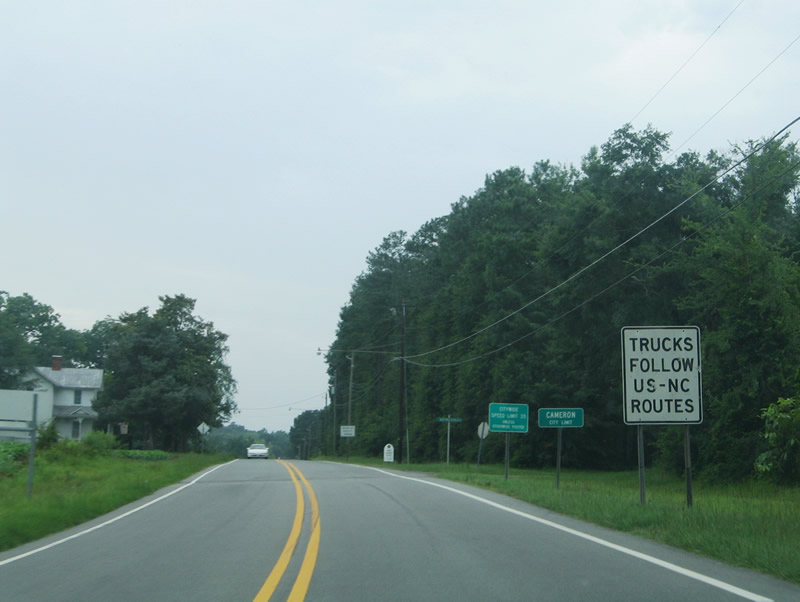
| Entering the town limits of Cameron on NC 24/27 (Carthage Street) west. 07/12/05 |
|
| Cameron is a town of approximately 150 mainly situated along NC 24/27 between a CSX Railroad (pictured here) and U.S. 1 Business. Cameron perhaps is most known for being the hometown of professional wrestlers Jeff Hardy, Matt Hardy, and Shannon Moore. 07/12/05 |
|
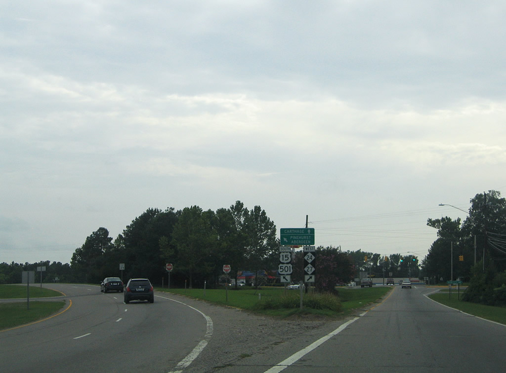
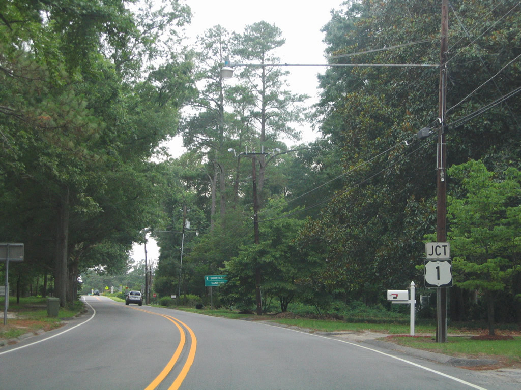
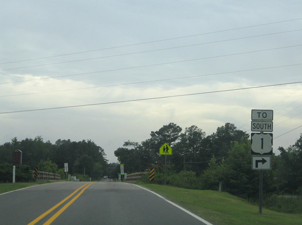
| Nearing the intersection with U.S. 1 Business (shown here as U.S. 1) on NC 24/27 (Carthage Street) west. U.S. 1 Business consists of a two lane alignment leading north to U.S. 1 in southern Lee County and south to Vass. 07/12/05 |
|
| U.S. 1 Business connects with U.S. 1 northbound for interests to the city of Sanford. Southbound travels five miles to Vass and six miles to its end north of Southern Pines. 07/12/05 |
|
| A grade separated intersection joins NC 24/27 (Carthage Street) with U.S. 1 Business. 07/12/05 |
|
| NC 24/27 pass over U.S. 1 Business between two access roads. A detour shield previously posted here was for the 2005-completed bypass of U.S. 1 east of Cameron. 07/12/05 |
|
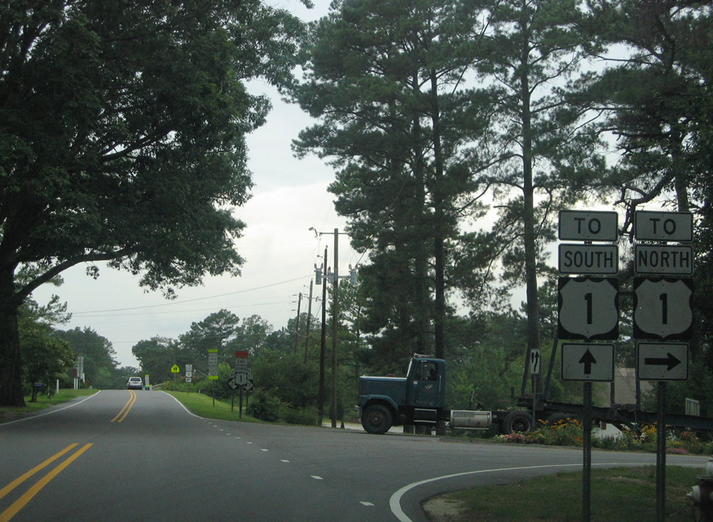
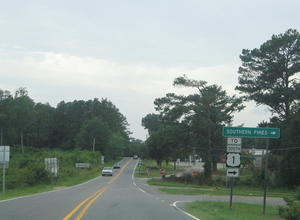
| Approaching the access road to U.S. 1 Business for Vass, Since replaced, the bridge spanning U.S. 1 Business was constructed in 1952. 07/12/05 |
|
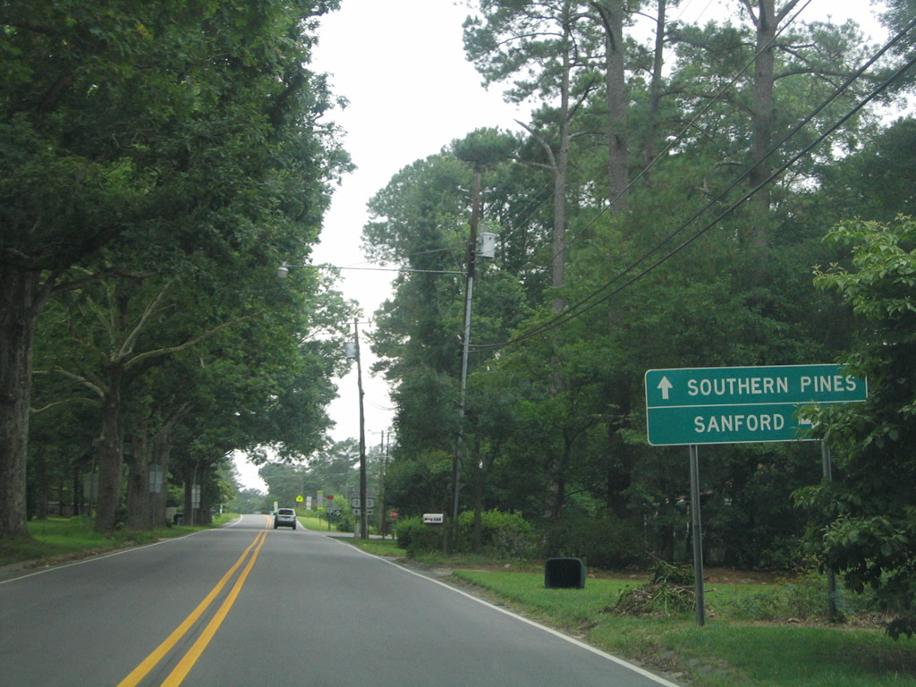
| U.S. 1 Business and U.S. 1 head south 12 miles into Southern Pines from Cameron. 07/12/05 |
|
| Continuing west along NC 24/27 from U.S. 1 Business and Cameron. 07/12/05 |
|
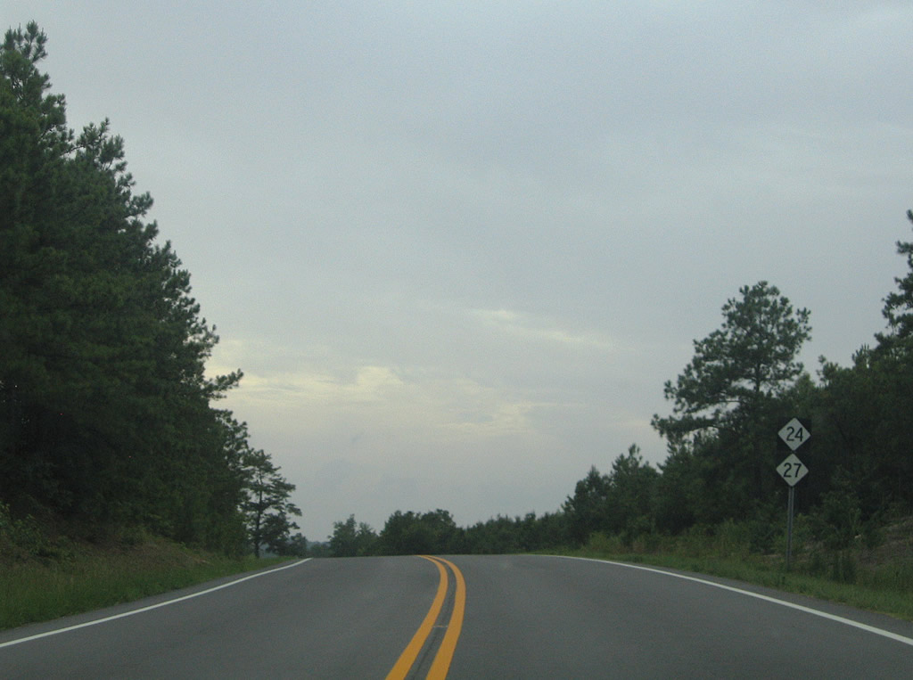
| Westbound reassurance markers posted after the intersection with Red Hill Road. Red Hill Road arcs northwest from the state highways to Bryant Road. 07/12/05 |
|
| Bryan Road heads north from NC 24/27 to Red Hill Road and U.S. 15/501. Grady Road continues the road south from the flashers as NC 24/27 to Union Church Road. 07/12/05 |
|
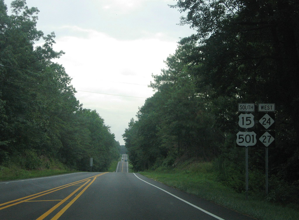
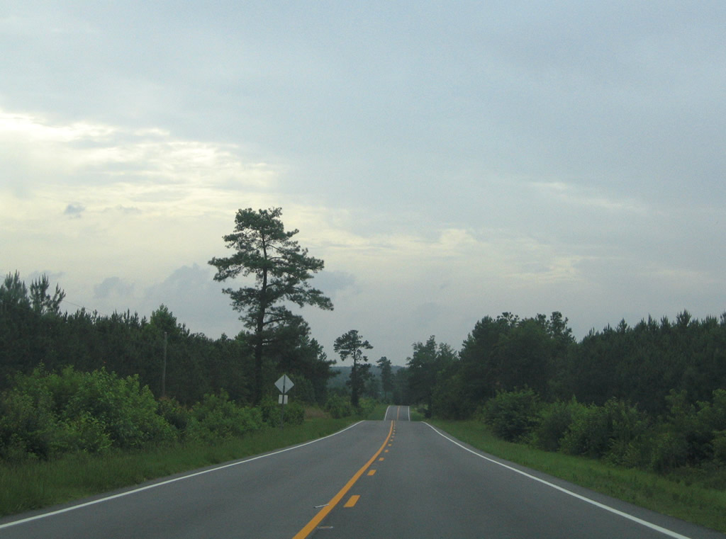
| Westbound motorists continue through forest land from Grady Road to U.S. 15/501. 07/12/05 |
|
| Stage Road intersects NC 24/27 ahead of this reassurance shield assembly. Stage Road, and a portion of Union Church Road to the west, represent the original alignment of U.S. 15. 07/12/05 |
|
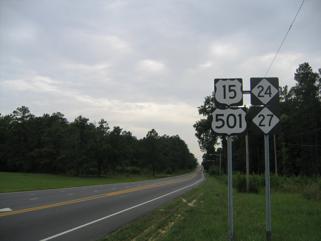
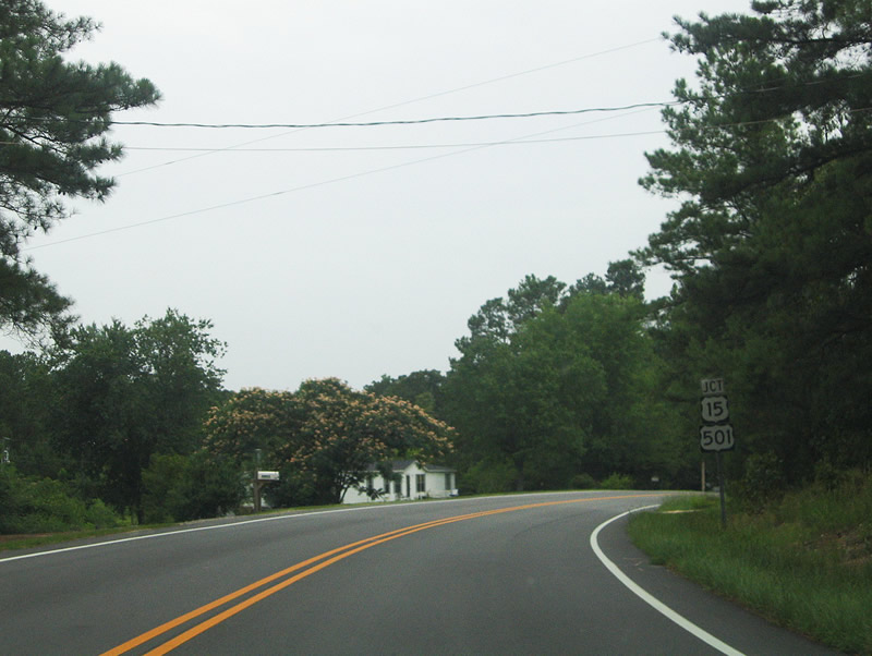
| NC 24/27 curve northward to merge with U.S. 15/501 two miles east of Carthage. 07/12/05 |
|
| U.S. 15-501 south / NC 24/27 west combine for 1.9 miles into the Moore County seat of Carthage. U.S. 15/501 north travel 8.6 miles to merge with U.S. 1 south of Sanford. 07/12/05 |
|
| Traveling westward from the merge of U.S. 15-501 south / NC 24-27 west. 07/12/05 |
|
| The four highways enter the city limits of Carthage at the intersection with Priest Hill Road. Priest Hill Road (SR 1653) south connects with Union Church Road (old U.S. 15) and north to Old River Road. 07/12/05 |
|
| Reassurance assembly for U.S. 15-501/NC 24-27 posted after Priest Hill Road in Carthage. 07/12/05 |
|
| Union Church Road (SR 1805) converges with U.S. 15-501 south / NC 24-27 west just ahead of their split. 07/12/05 |
|
| U.S. 15/501 turn southward and bypass Carthage to the east as NC 24/27 shift onto Monroe Street into Downtown. 07/12/05 |
|
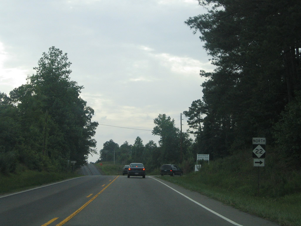
| U.S. 15/501 merge with NC 22 two miles south from NC 24/27 and reach Pinehurst in ten miles. 07/12/05 |
|
| Glendon-Carthage Road (SR 1006) stems north from the U.S. 15-501 access road to NC 24/27. SR 1006 runs north to the settlement of Glendon in northern Moore County and Siler City. 07/12/05 |
|
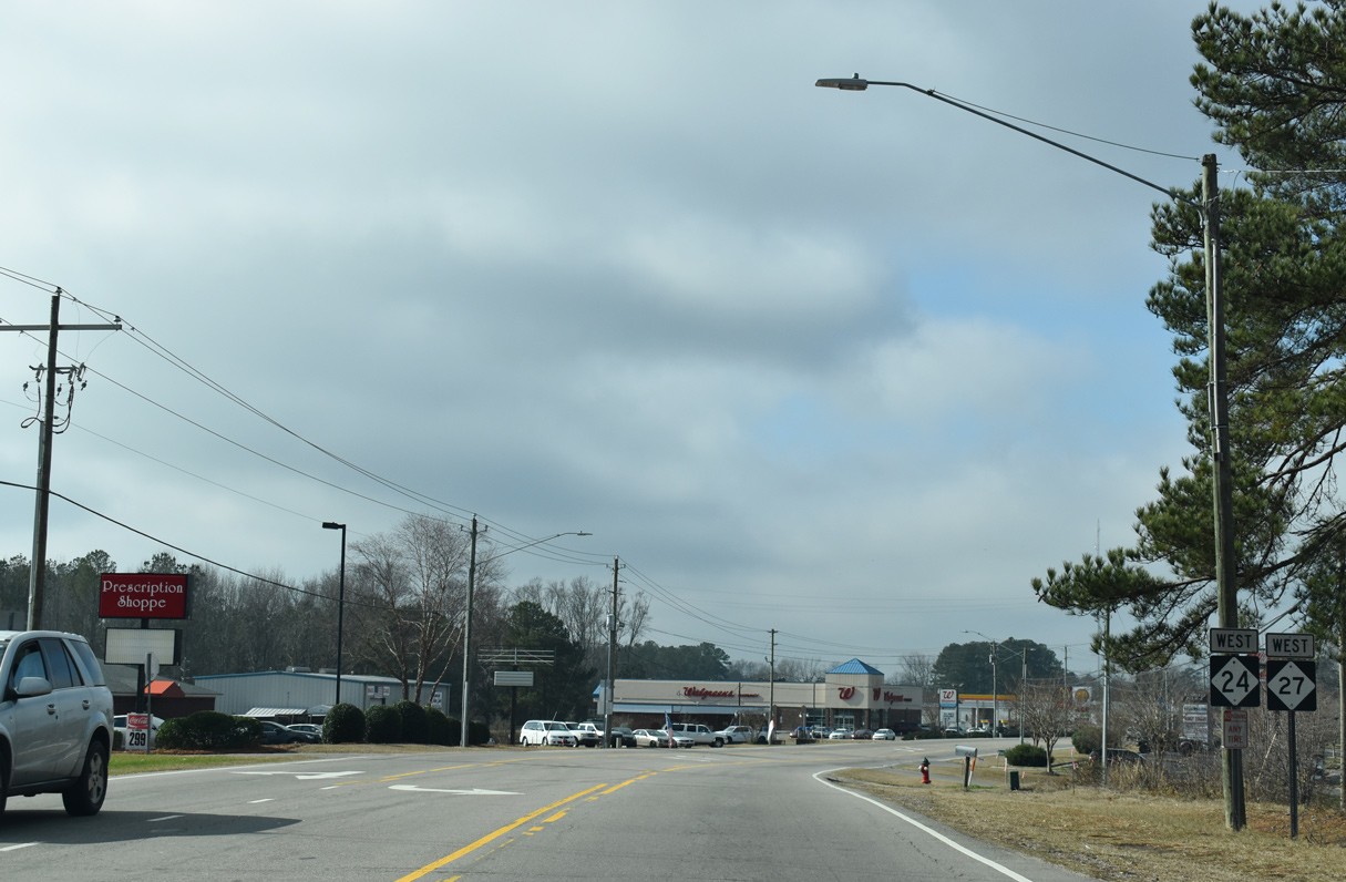
| Confirming markers posted after U.S. 15/501 and Glendon-Carthage Road on Monroe Street westbound. 01/18/19 |
|
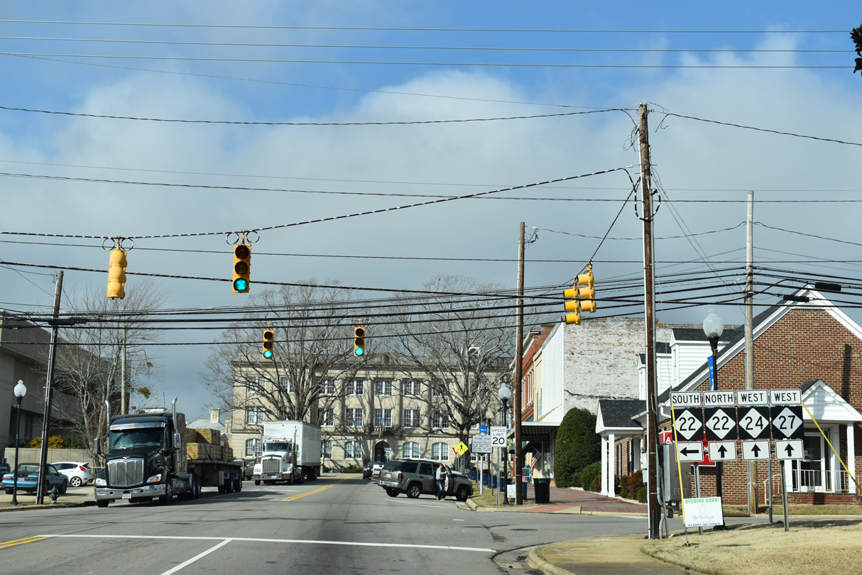
| NC 22 branches north from U.S. 15/501 onto McNeil Street in Carthage. NC 24/27 (Monroe Street) combines with NC 22 northwest from McNeil Street for 5.1 miles. 01/18/19 |
|
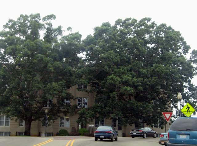
| NC 22 north / NC 24-27 west encircle the Moore County Court House along Courthouse Square. 07/12/05 |
|
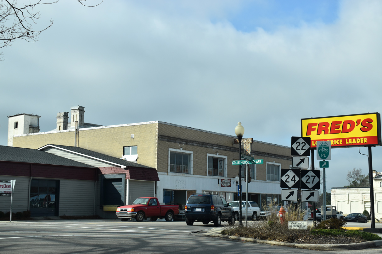
| NC 22-24-27 turn onto McReynolds Street from Courthouse Square in Downtown Carthage. 01/18/19 |
|
| NC 22-24-27 shields posted west of Bethlehem Church Road (SR 1261) in north Carthage. 07/12/05 |
|
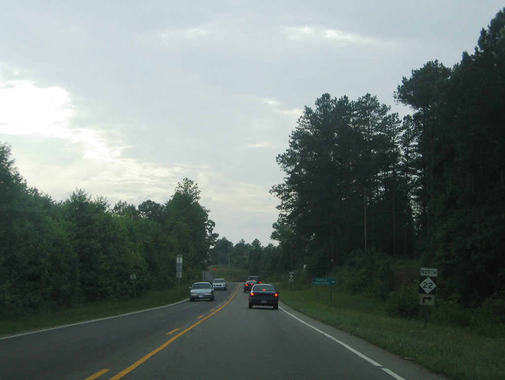
| NC 22 branches north from NC 24/27 in central Moore County 10.8 miles to NC 42 near High Falls. 07/12/05 |
|
| NC 22 heads 27 miles north to U.S. 64 at Ramseur and concludes in 42 miles at NC 62 at Climax. 07/12/05 |
|
| Remaining rural, NC 24/27 continue west from NC 22, 17 miles to Biscoe. 07/12/05 |
|
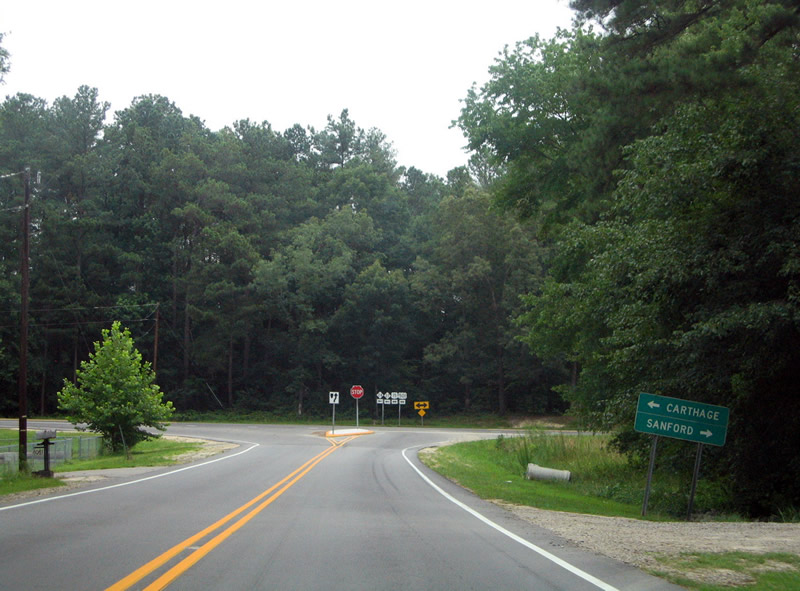
| NC 705 crosses paths with NC 24/27 at Garner Store. The state route arcs 26 miles eastward from Seagrove (U.S. 220 Alternate) to NC 211 near Eagle Springs. 07/12/05 |
|
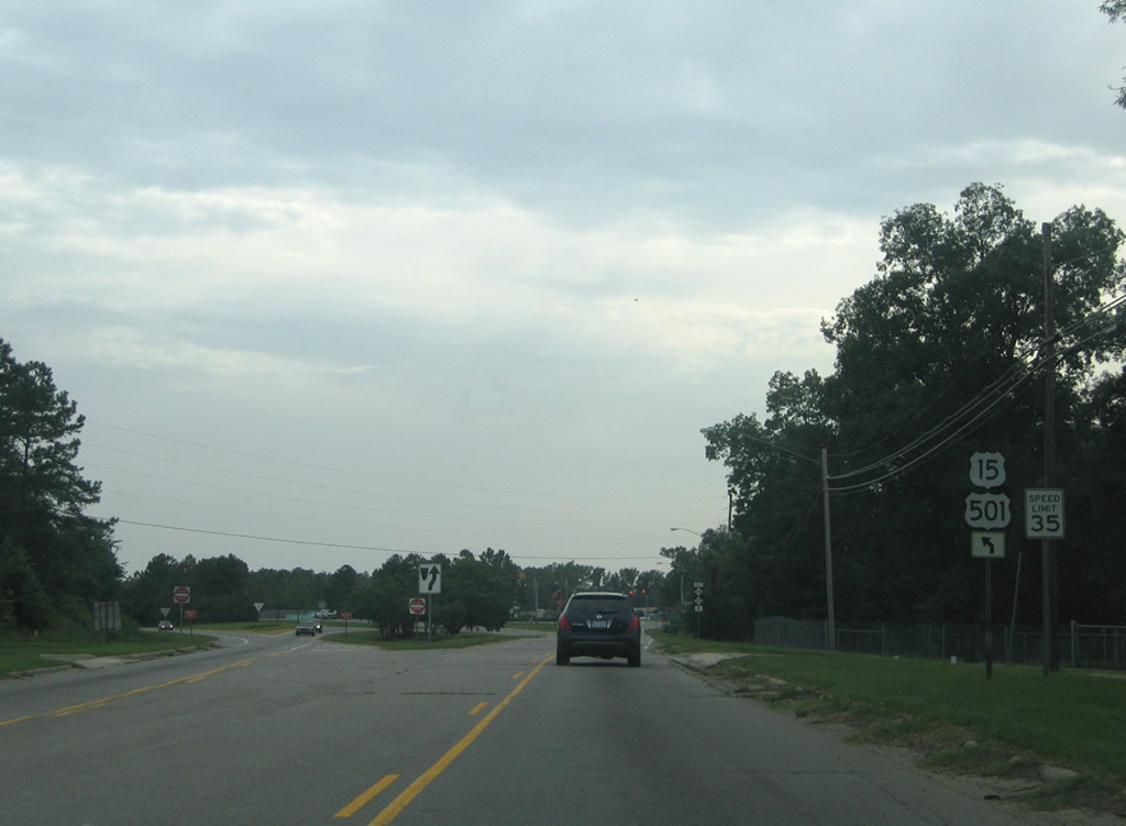
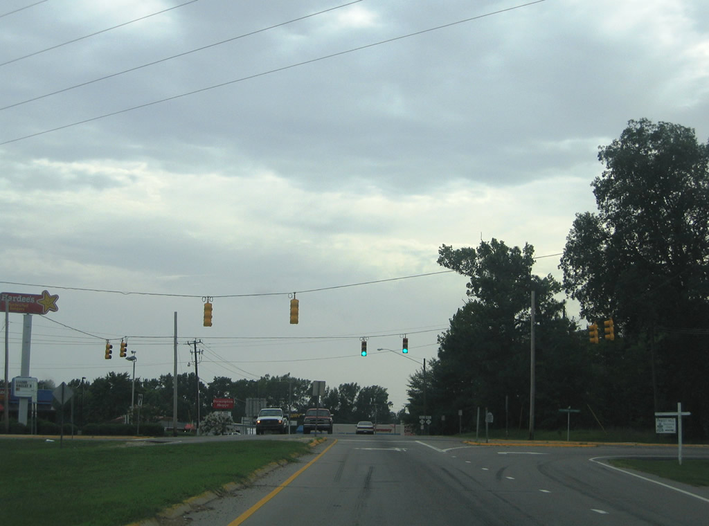
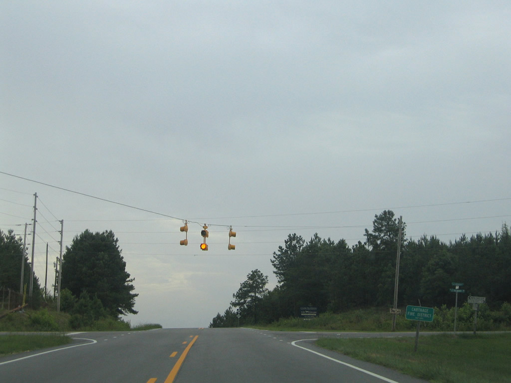
| The first traffic light along NC 24/27 west of Carthage operates at NC 705. NC 705 ventures northward into the nearby city of Robbins before and northwest from there to U.S. 220A south of Asheboro. 07/12/05 |
|
| Biscoe lies 12 miles west of NC 705 and Garner Store on NC 24/27. 07/12/05 |
|
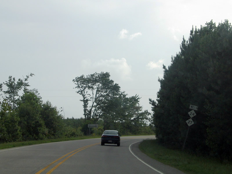
| Sunset Drive (SR 1435) ties into NC 24/27 southwest from NC 705 in Robbins ahead of this shield assembly. 07/12/05 |
|
| Leading south to Big Oak Church Road (SR 1275) near Eagle Springs, McDuffie Road (SR 1278) stems south from NC 24/27 before this shield assembly. 07/12/05 |
|
| Tarry Church Road (SR 1281) crosses NC 24/27 ahead of these shields southward from Spies Road (SR 1002). 07/12/05 |
|
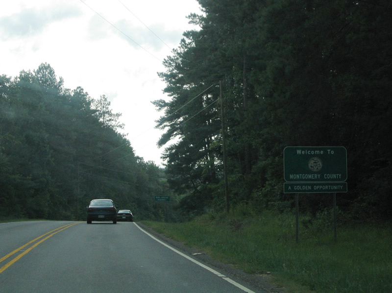
| NC 24/27 enters Montgomery County after 33.97 miles through Moore County. 07/12/05 |
Page Updated 07-17-2020.


 South
South