
Located wholly within Robeson County south of Fayetteville, North Carolina Route 71 runs 27.13 miles between Maxton and Parkton. NC 71 begins in Downtown Maxton along Patterson Street across from the end of NC 130 at U.S. 74 Business (Martin Luther King, Jr. Drive). Curving northeast, the state route leads to Wakulla and the town of Red Springs.
Following a 0.64 mile long overlap with NC 211 along N Main Street in Red Springs, NC 71 parallels a Red Springs & Northern Railroad line to the town of Lumber Bridge. NC 71 turns east from the town of Parkton to conclude at U.S. 301 adjacent to the Fayetteville Outer Loop (Interstate 295).
 North
North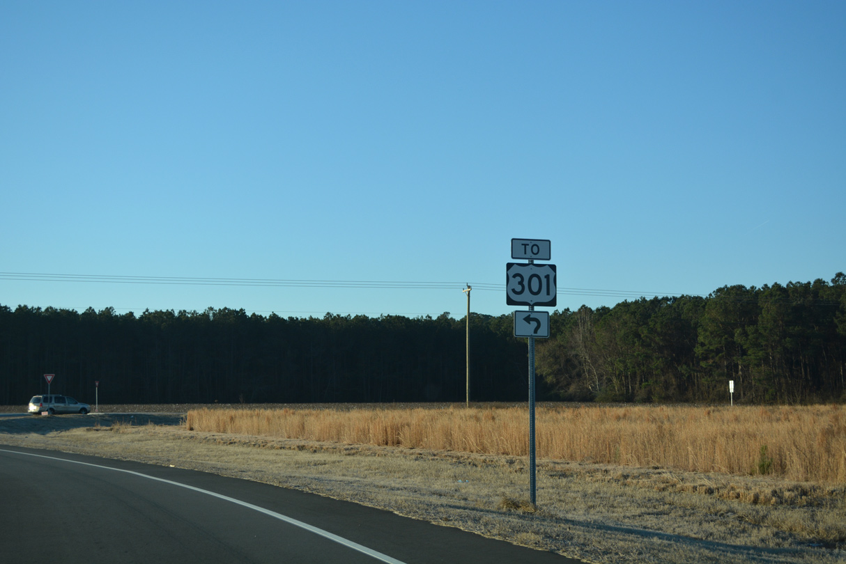
Leeper Road (SR 1717) south connects Interstate 295 (Fayetteville Outer Loop) with NC 71 northbound to U.S. 301.
12/28/22
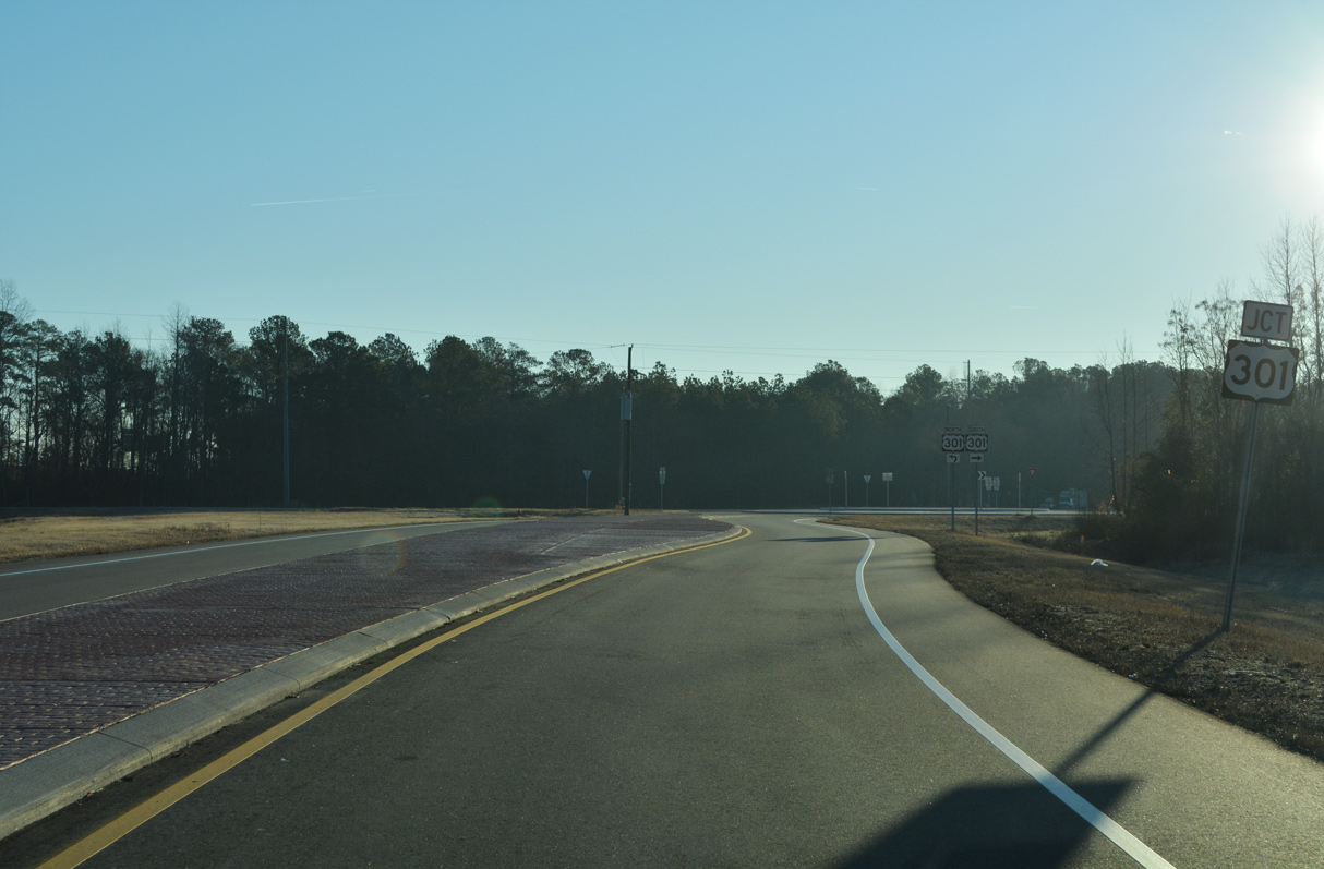
Construction of the nearby Fayetteville Outer Loop in 2022 included slightly realigning NC 71 southward to a roundabout with U.S. 301.
12/28/22
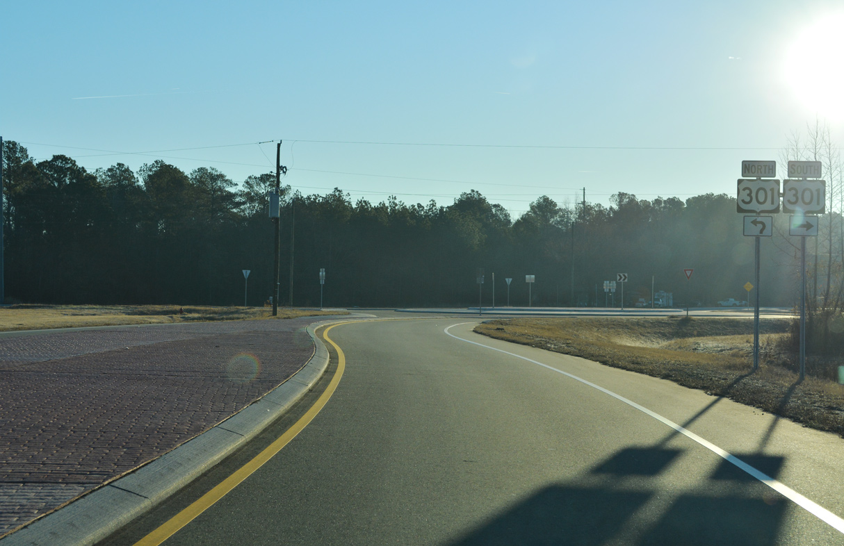
Everett Road (SR 1902) ties into the roundabout joining the north end of NC 71 with U.S. 301 from the south.
12/28/22
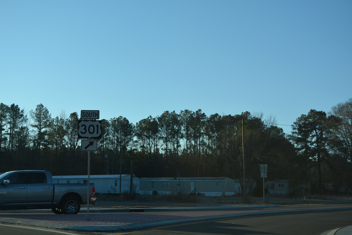
U.S. 301 heads northeast to Fayetteville and south across Interstate 95 into the town of St. Paul.
12/28/22
South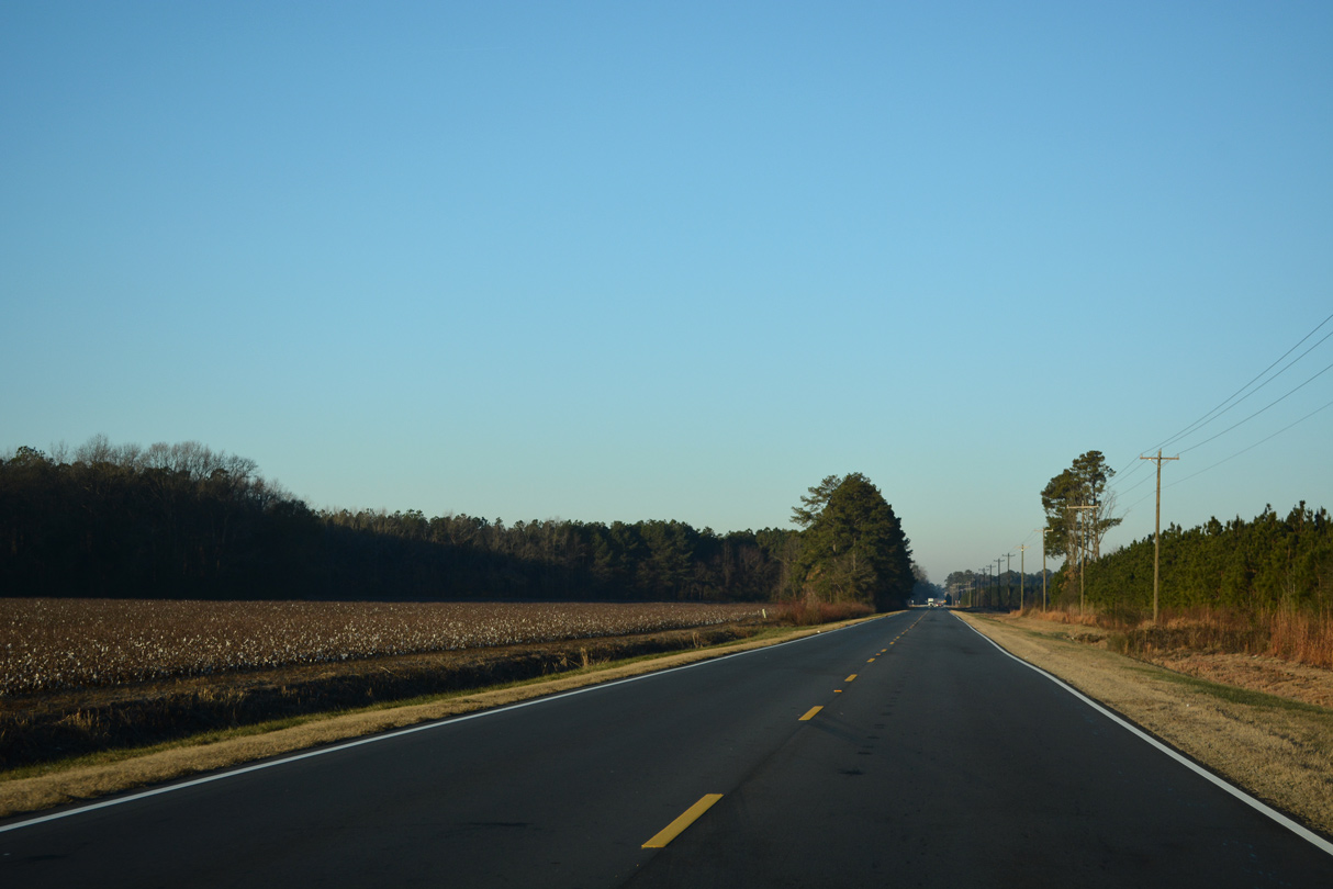
Construction in 2022 reconfigured the intersection joining NC 71 with U.S. 301 into a roundabout. The state route leads west across agricultural land from U.S. 301 north of Buckhorn Swamp.
12/28/22
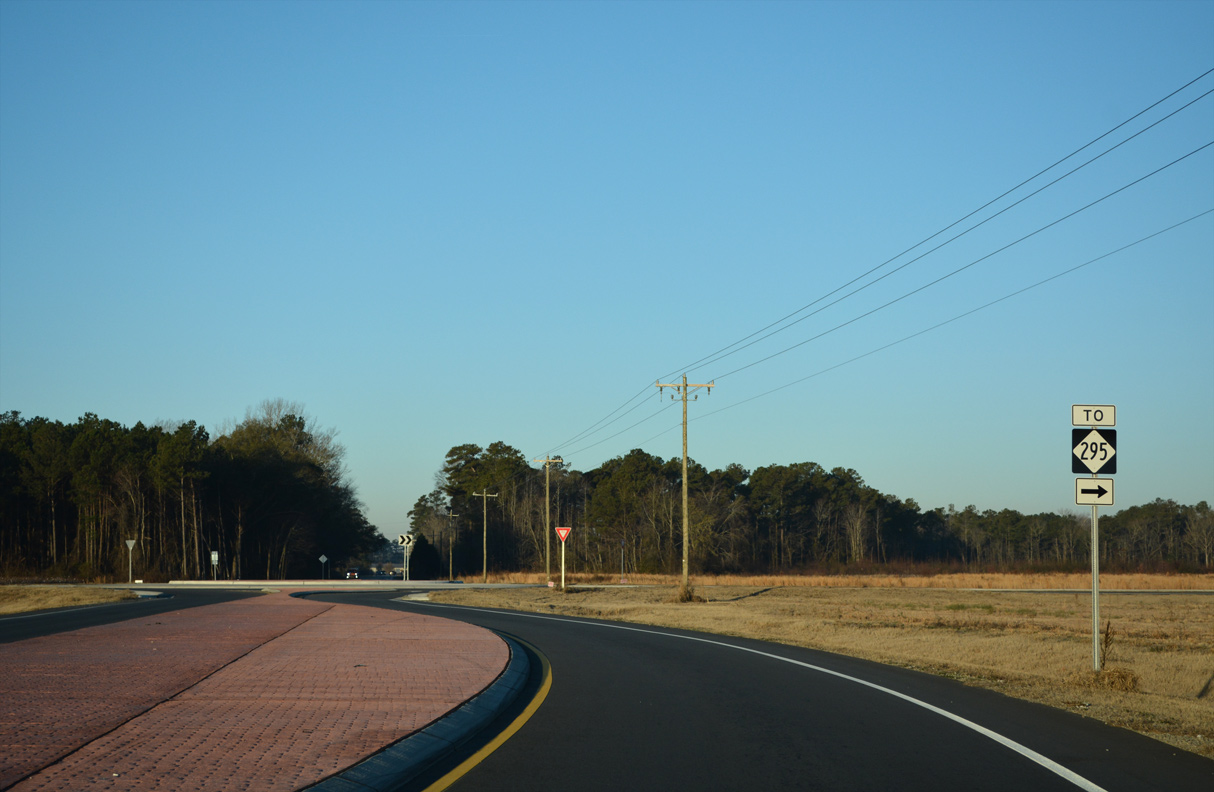
Leeper Road (SR 1717) was realigned in 2022 to converge with NC 71 at a roundabout. The construction was part of work for the Fayetteville Outer Loop (Interstate 295), which Leeper Road meets across from Parkton Road in Cumberland County.
12/28/22
Photo Credits:
12/28/22 by AARoads
Page Updated 01-16-2023.