
Traveling west from Interstate 25 and University Boulevard across South Valley and north to I-40 on the outskirts of Albuquerque, New Mexico State Road 500 forms a 12.35 mile loop. The original extent of NM 500 comprises a four lane arterial route between NM 45 (Coors Boulevard) and I-25 at Exit 220. A mileage exchange between the New Mexico Department of Transportation (NMDOT) and Bernalillo County in 2010 extended NM 500 west along Dennis Chavez Boulevard and north along Atrisco Vista Boulevard to I-40 at Exit 149. This two lane section serves suburban areas south along Unser Boulevard and opens up land on the plateau overlooking the Rio Grande Valley to future development.
Prior to the extension of NM 500 to the West Side of Albuquerque, separate interchanges connected Interstate 40 with Central Avenue (Historic U.S. 66) and Paseo del Vulcan, the former name of Atrisco Vista Boulevard. Funded by the American Recovery and Reinvestment Act, $27 million in construction consolidated the wye and half diamond interchanges into a single exchange. Work ran from June 2009 to June 24, 2010.1
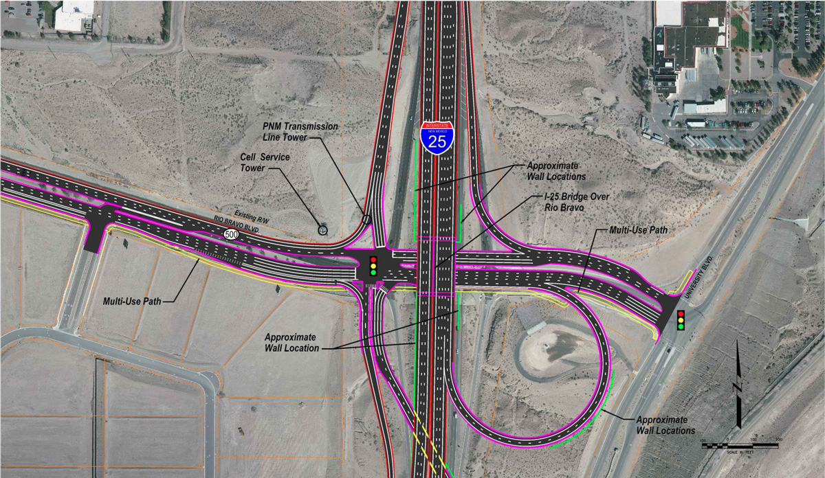
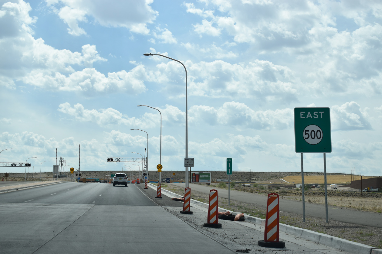
Construction started on August 8, 2017 reconfigures the diamond interchange joining NM 500 (Rio Bravo Boulevard) with Interstate 25. The $52.5 million project through Summer 2019 added a loop ramp from NM 500 east to I-25 north and a new northbound off-ramp to Rio Bravo Boulevard passing under the freeway mainline.2 The new ramp from Rio Bravo Boulevard to I-25 north opened to traffic on April 29, 2019.3
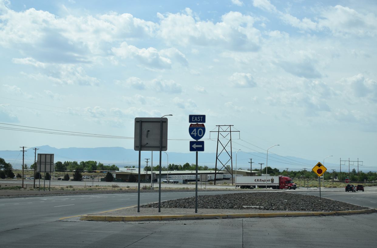
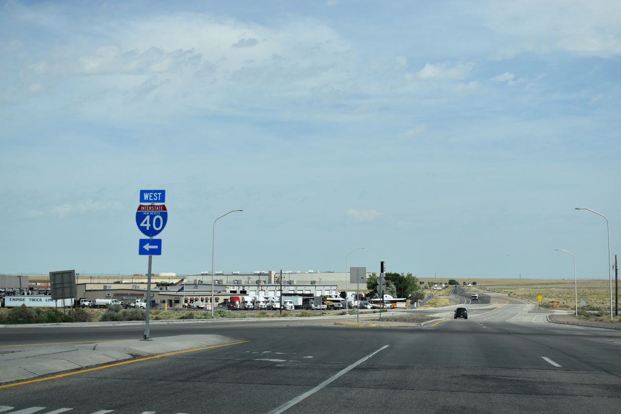
 | Atrisco Vista Boulevard meets Interstate 40 at a diamond interchange just north of Central Avenue (Historic U.S. 66) and the eastbound beginning of NM 500. 06/17/19 |
 | Interstate 40 leaves the West Side of Albuquerque along a rural stretch from Atrisco Vista Boulevard to Laguna Pueblo and Grants in neighboring Valencia County. 06/17/19 |
  | Esatbound Interstate 40 lowers 400 feel in elevation from the diamond interchange with Atrisco Vista Boulevard (NM 500) to 98th Street in west Albuquerque. 06/17/19 |
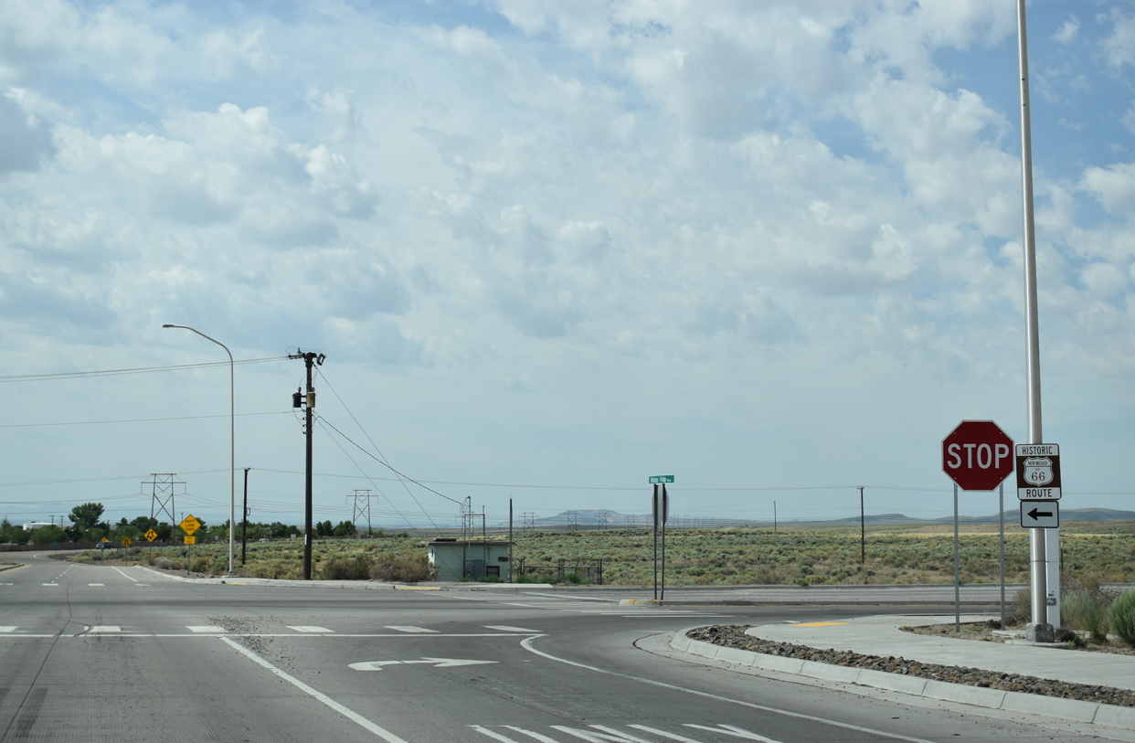 | Historic U.S. 66 branches south from Interstate 40 along Central Avenue into Albuquerque. NM 500 intersects Central Avenue to the immediate south of the freeway. 06/17/19 |
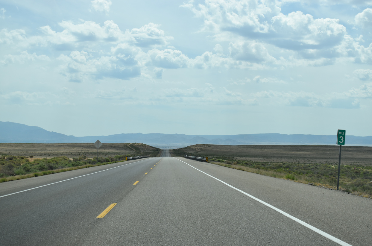
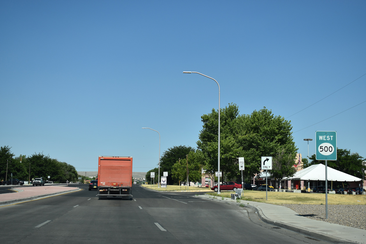
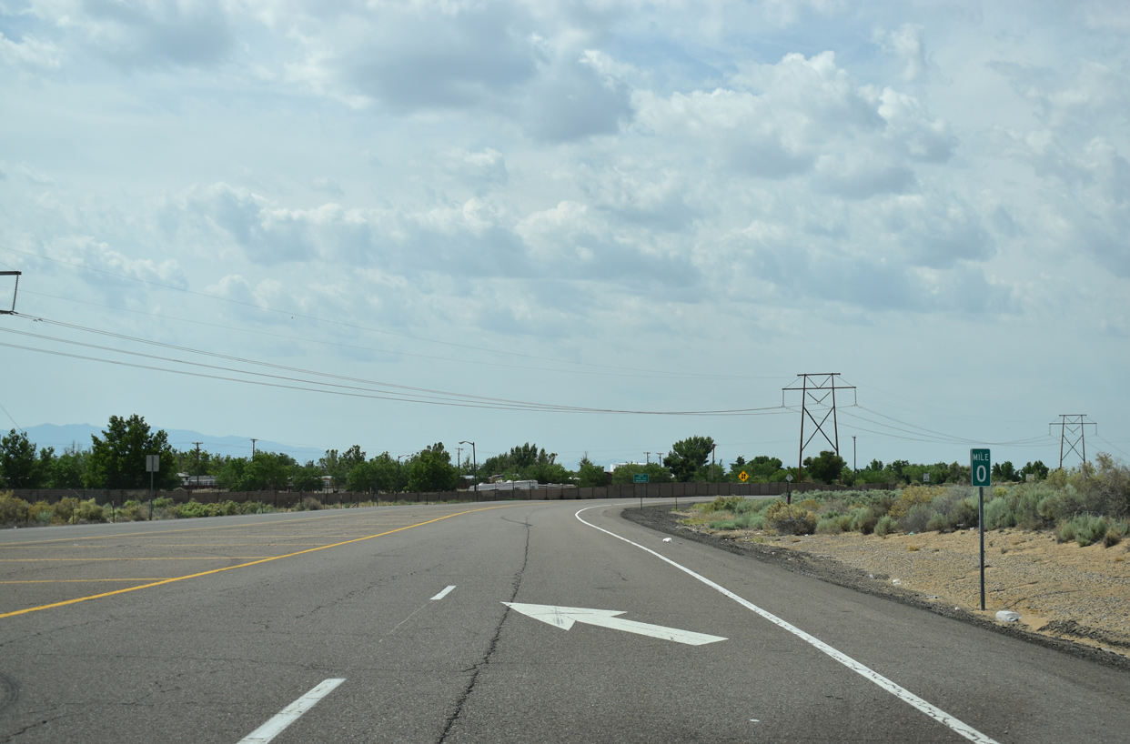 | Milepost zero for State Road 500 is at the intersection with Central Avenue. 06/17/19 |
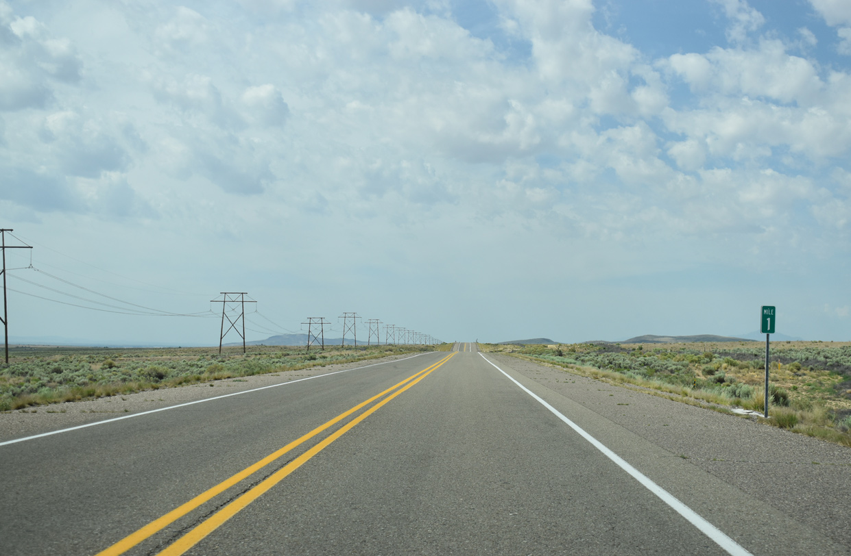
 | The first confirming marker for NM 500 stands along Atrisco Vista Boulevard south of Historic U.S. 66 adjacent to the Tierra West Estates subdivision. 06/17/19 |
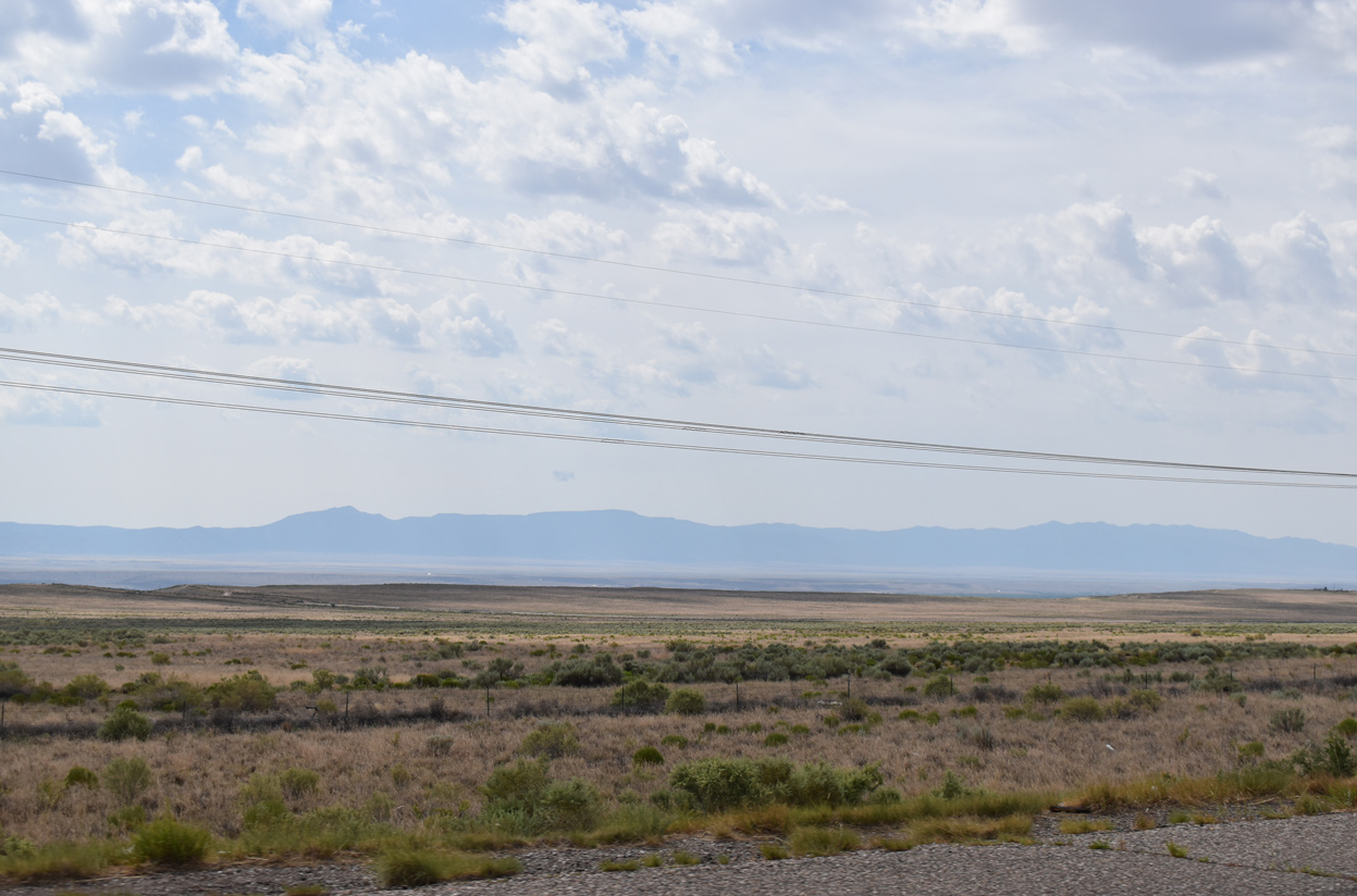
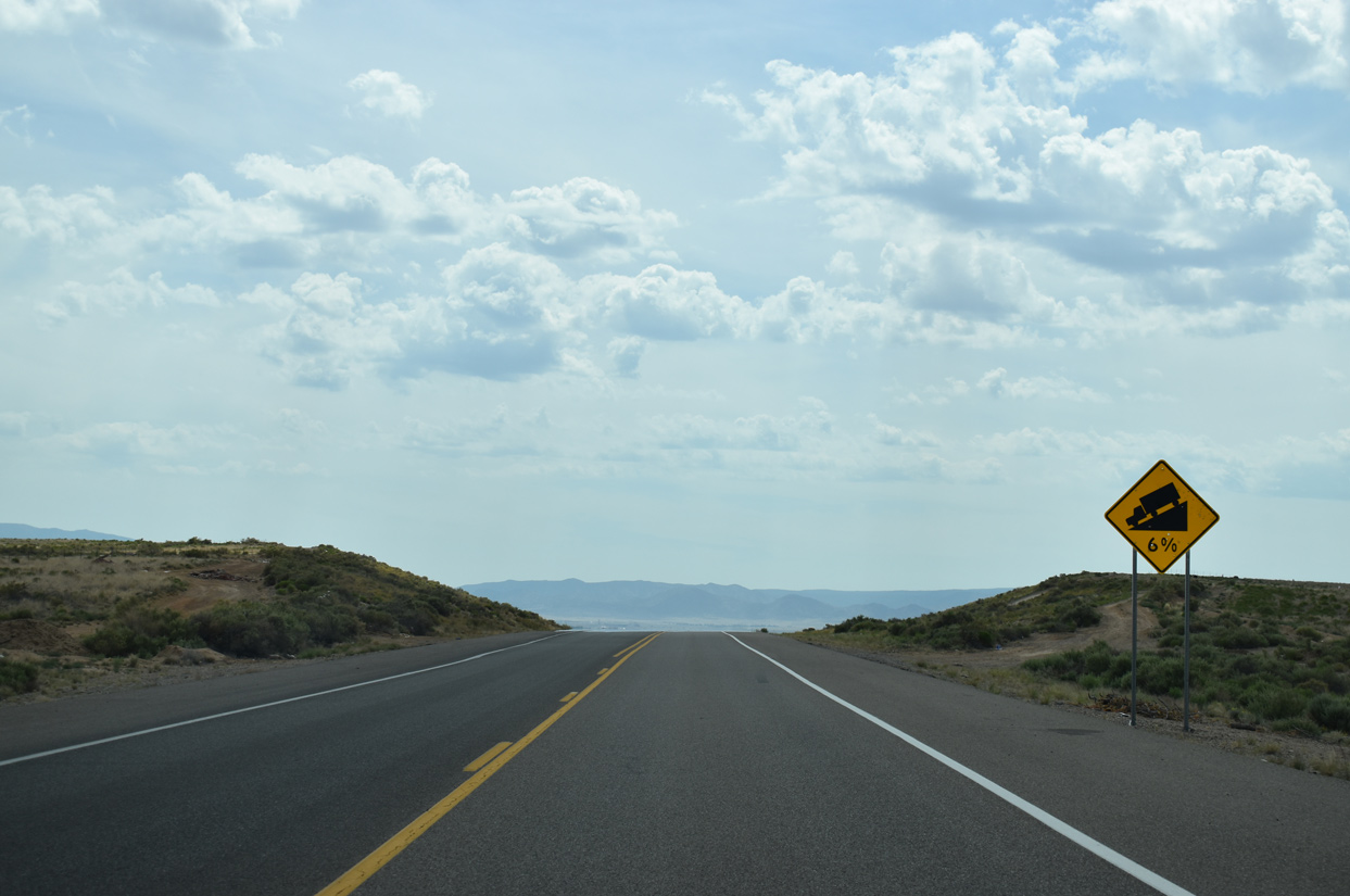
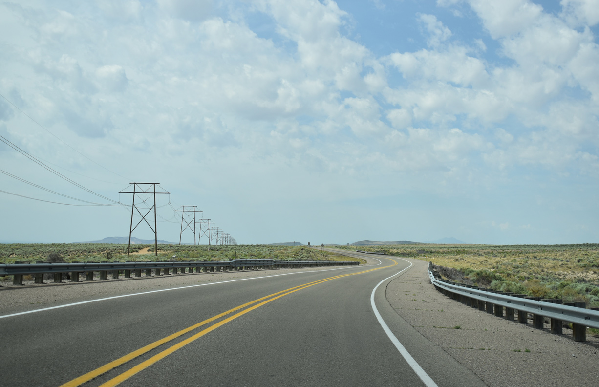 | NM 500 (Atrisco Vista Boulevard) navigates through an S-curve south of Tierra West Estates. 06/17/19 |
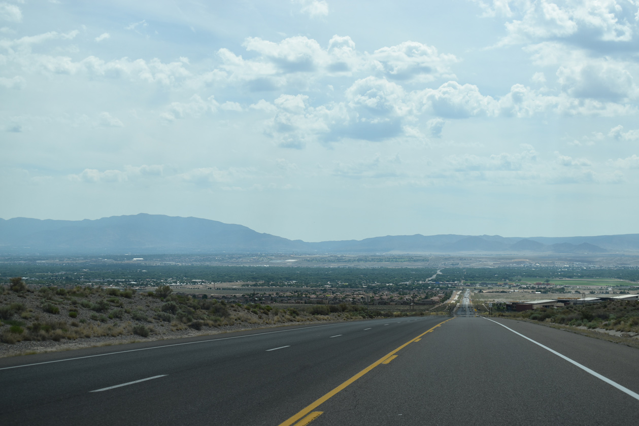
 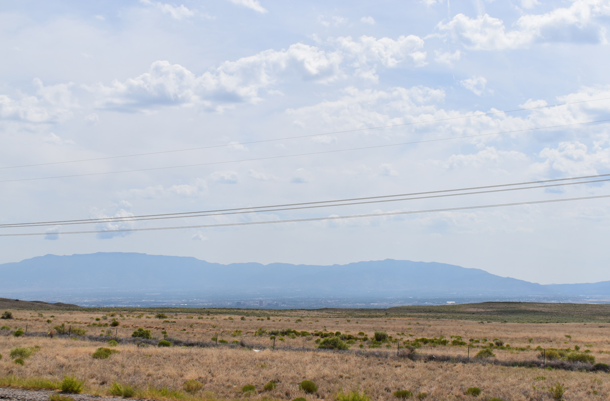  | Atrisco Vista Boulevard overlooks the Rio Grande Valley at an elevation of over 5,600 feet above sea level along a linear stretch. The river is located around 4,950 feet above sea level. 06/17/19 |
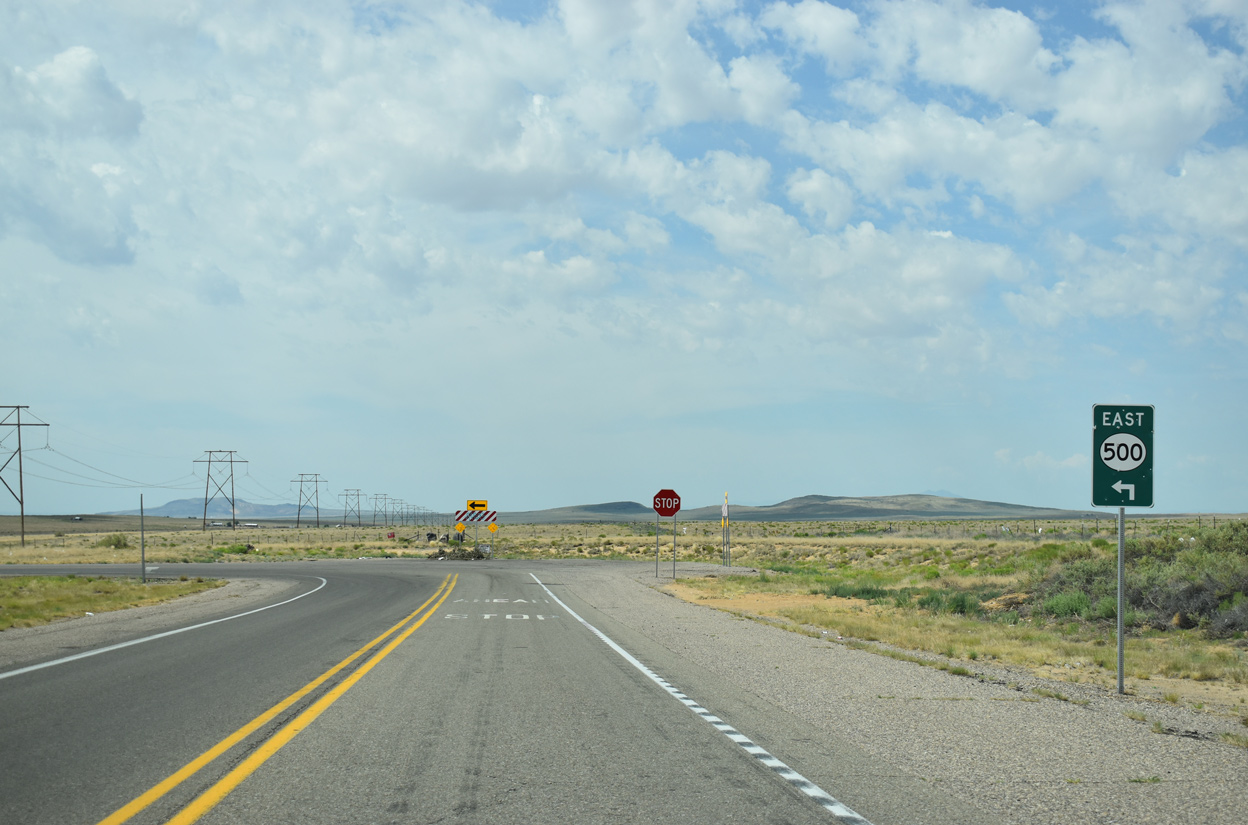 | Atrisco Vista Boulevard ends at the left turn of NM 500 east onto Dennis Chaves Boulevard. 06/17/19 |
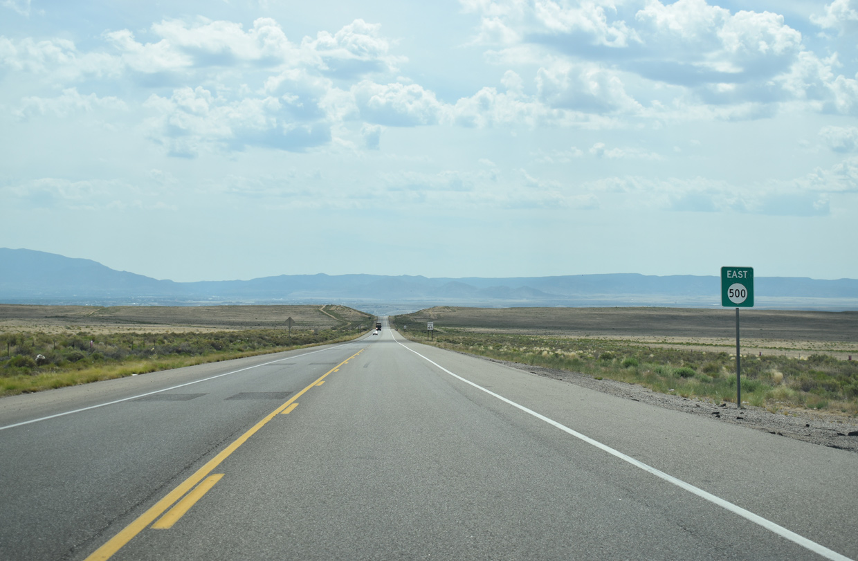    | NM 500 (Dennis Chavez Boulevard) drops from 5,600 to 5,220 feet in elevation over the 2.25 miles leading east from Atrisco Vista Boulevard to 118th Street SW. 06/17/19 |
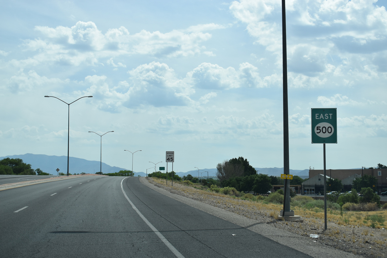
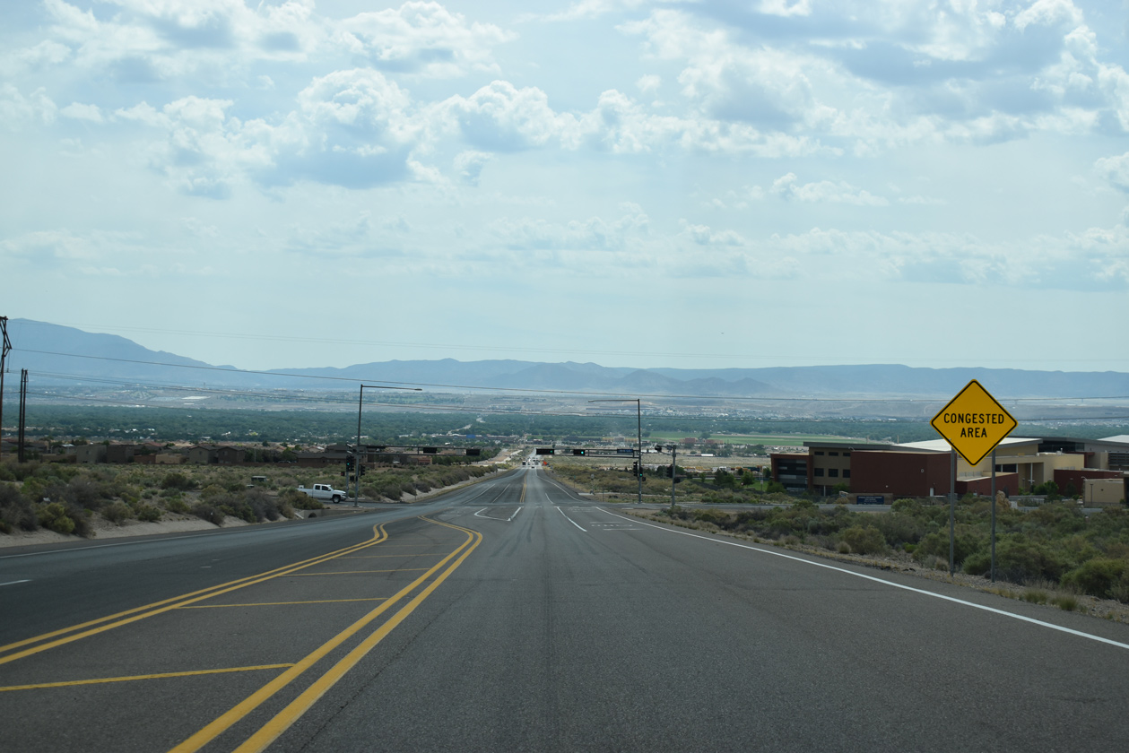 | The speed limit along Dennis Chavez Boulevard reduces to 45 miles per hour as NM 500 intersects 118th Street NW. 06/17/19 |
 | 118th Street SW connects NM 500 with adjacent Atrisco Heritage Academy High School and the Anderson Heights neighborhood. 06/17/19 |
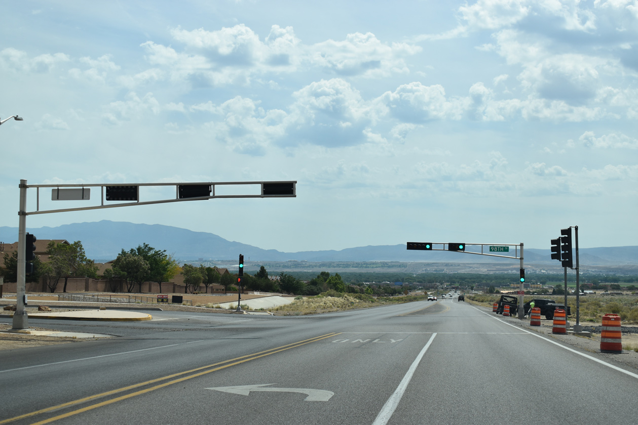 | 98th Street (FL-4005) stems north from Dennis Chavez Boulevard to Central Avenue and I-40 along an arterial route through the Anderson Hills and Westgate Heights developments. 06/17/19 |
 | Reassurance sign for State Road 500 posted east of 98th Street. 06/17/19 |
 | Unser Boulevard follows along NM 500 (Dennis Chavez Boulevard) eastbound at the succeeding traffic light. Forming an arterial belt route through the West Side of Albuquerque, Unser Boulevard winds 28.15 miles northward to U.S. 550 at Rio Rancho. 06/17/19 |
 | NM 500 spans Amole Channel across a 145 foot long bridge built in 1999.4 06/17/19 |
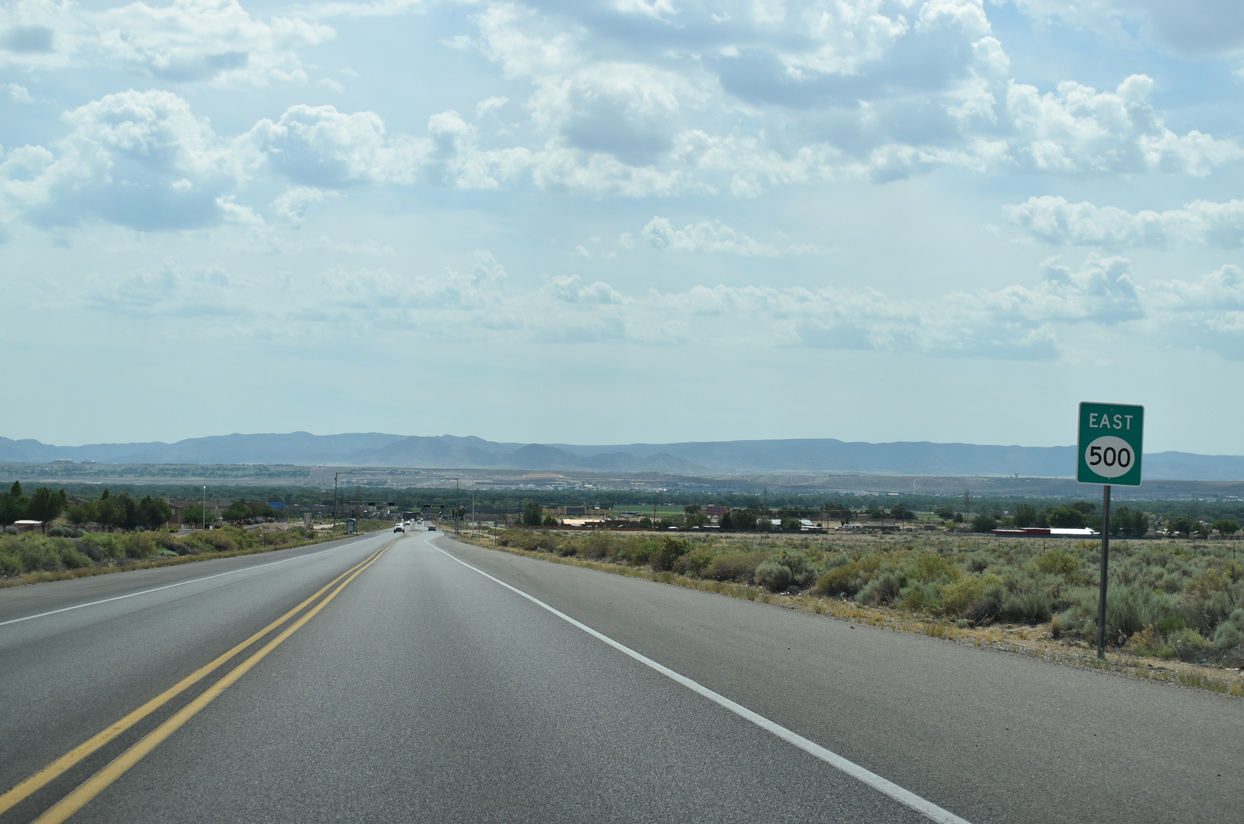
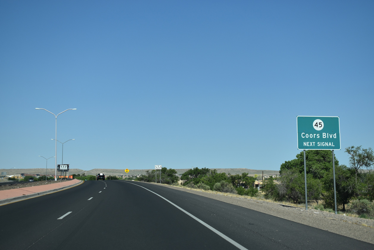
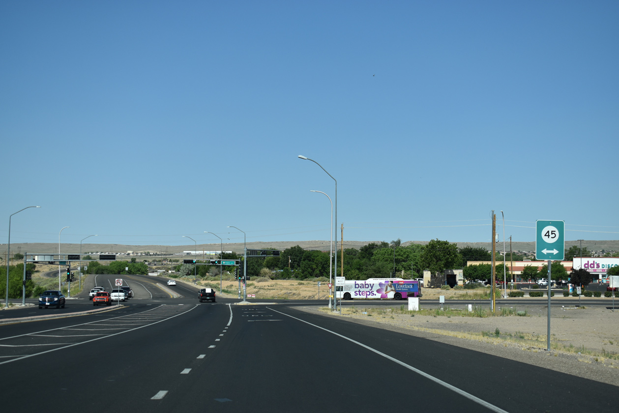
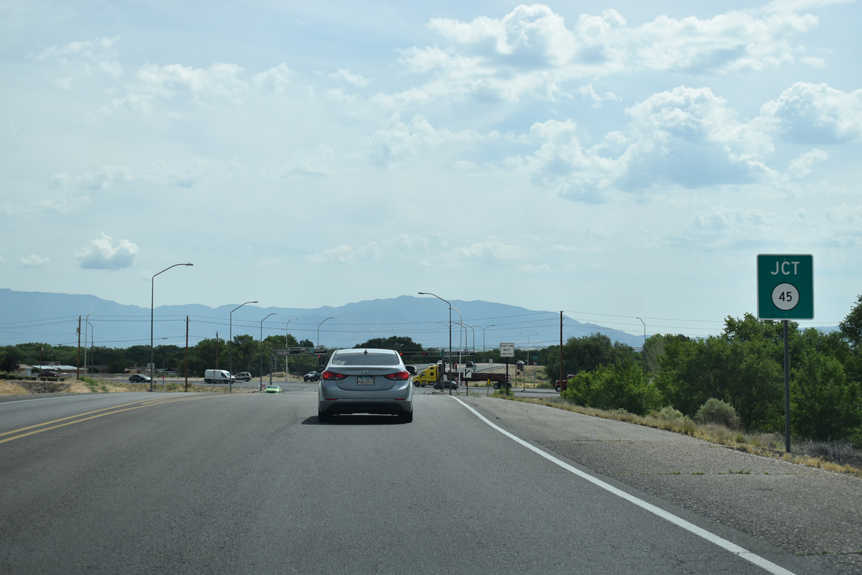 | Approaching NM 45 (Coors Boulevard) along NM 500 east. 06/17/19 |
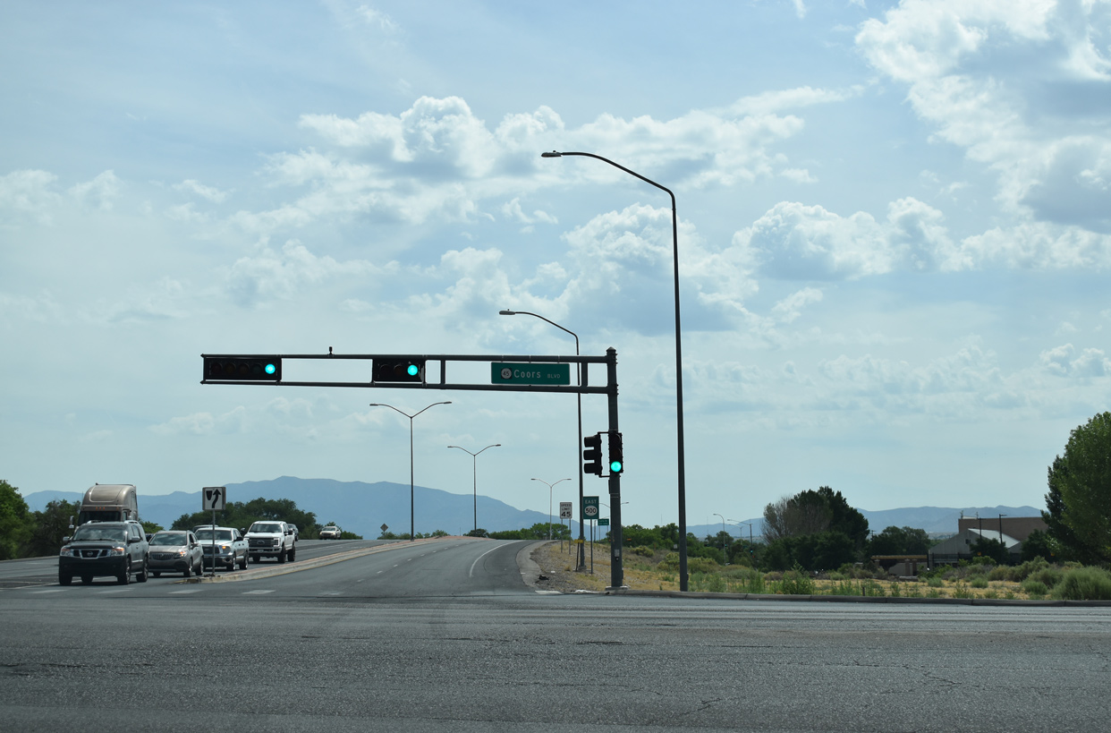 | NM 45 follows Coors Boulevard south to Iseleta Pueblo and north through the West Side of Albuquerque to NM 448 and the Coors Bypass at Cottonwood Mall. 06/17/19 |
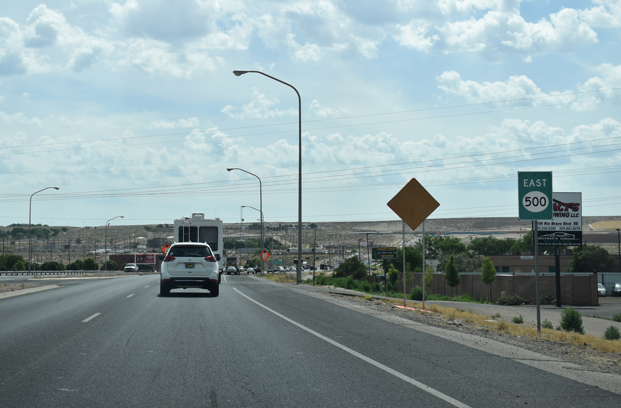
 | The original extent of State Road 500 ran east along Rio Bravo Boulevard from NM 45 to Interstate 25. This shield stands east of Coors Boulevard. 06/17/19 |
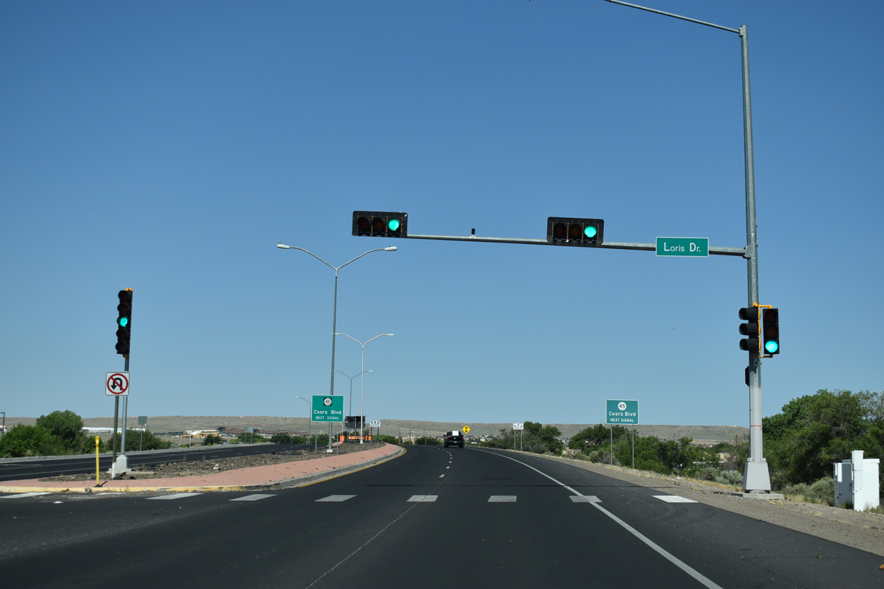
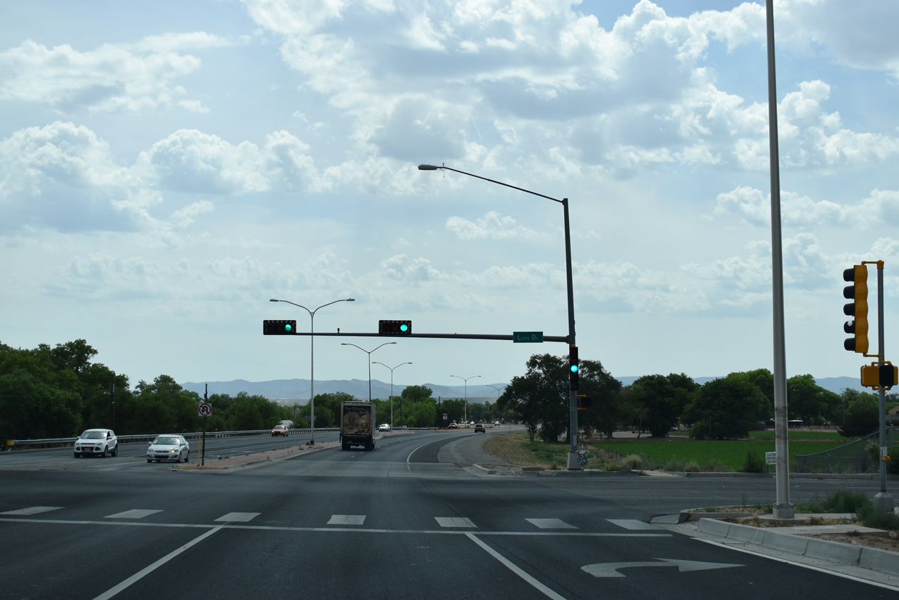 | Loris Drive ties into Rio Bravo Boulevard from adjacent big box retail. 06/17/19 |
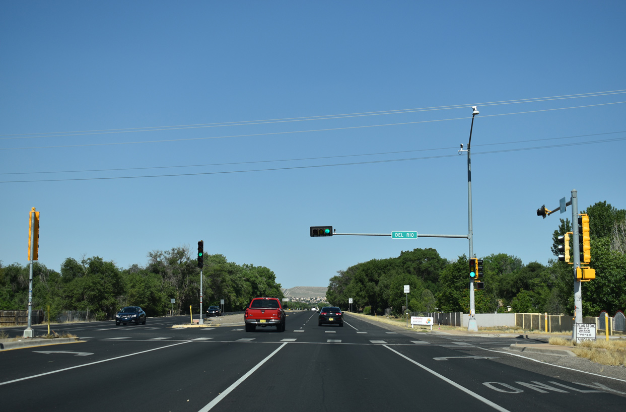
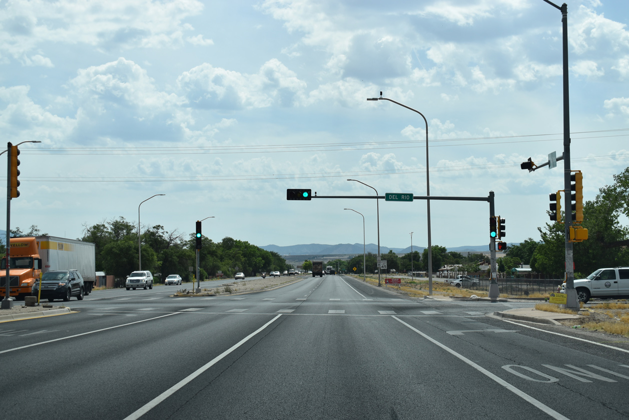 | Del Rio intersects NM 500 at the subsequent eastbound signal from adjacent residential areas in South Valley. 06/17/19 |
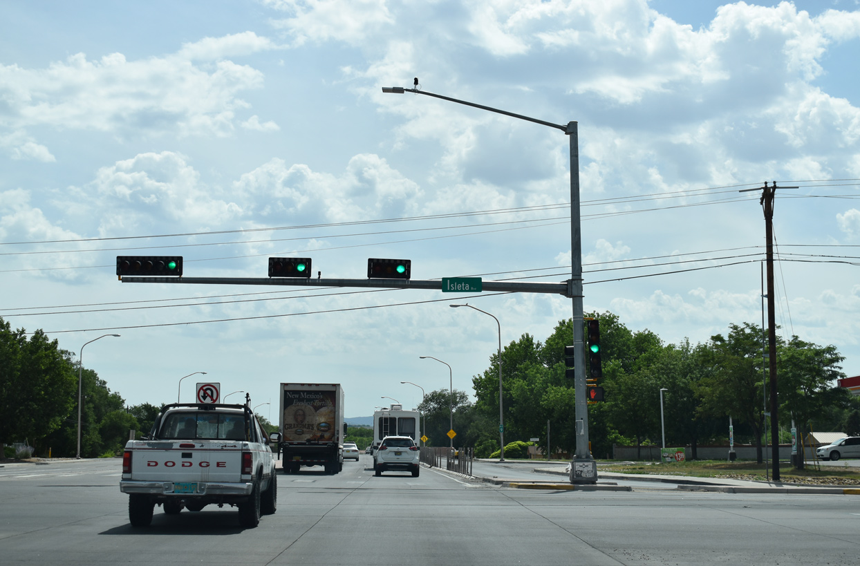 | Rio Bravo Boulevard east at Isleta Boulevard. Isleta Boulevard represents the pre-1937 alignment of U.S. 66 south to the village of Isleta and north to Bridge Boulevard across the Rio Grande. Isleta Boulevard also is the old route of U.S. 85 and later NM 314. 06/17/19 |
 | The NM 500 marker posted east of Isleta Boulevard alludes to the former northward extension of NM 314. NM 314 ends at I-25. 06/17/19 |
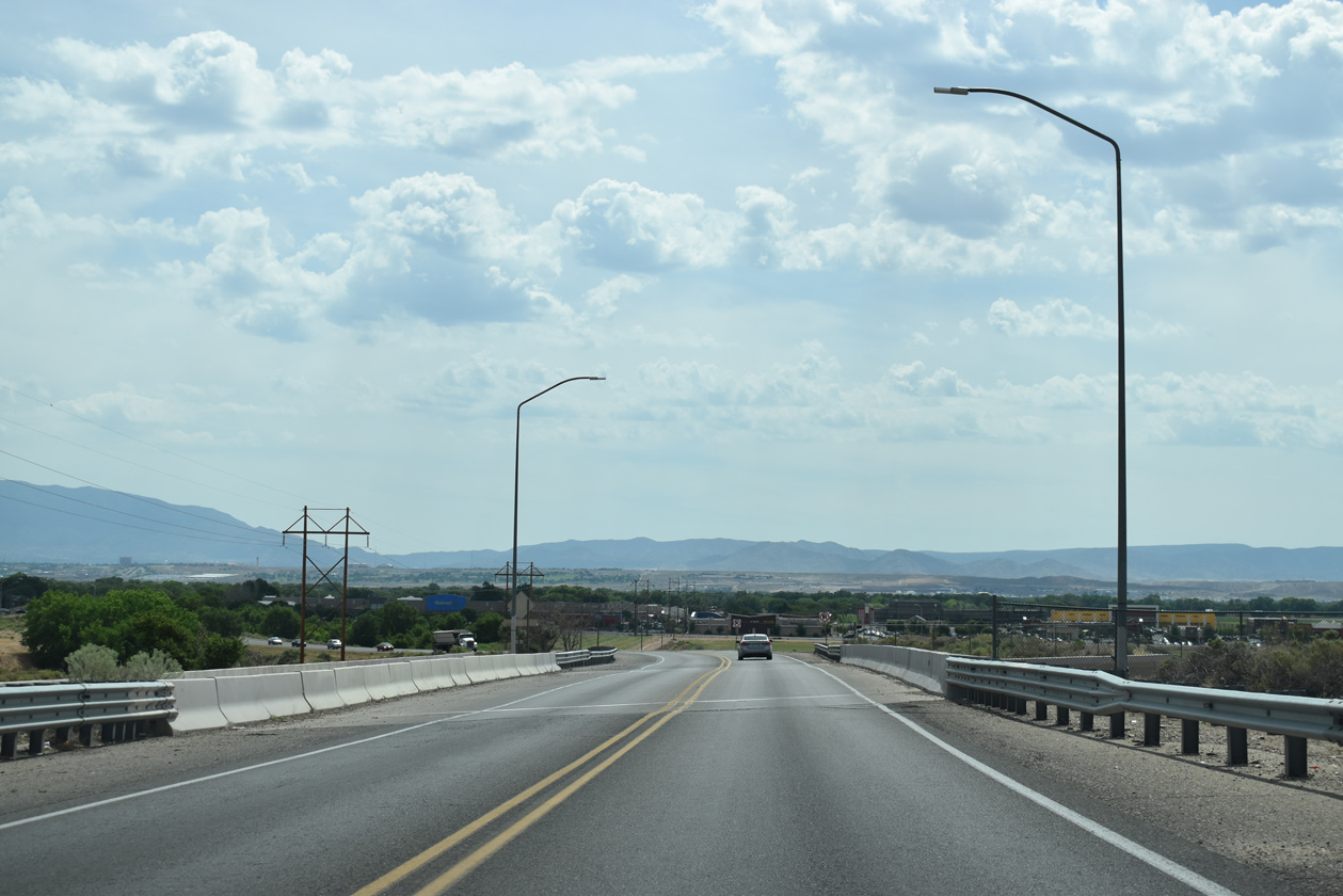
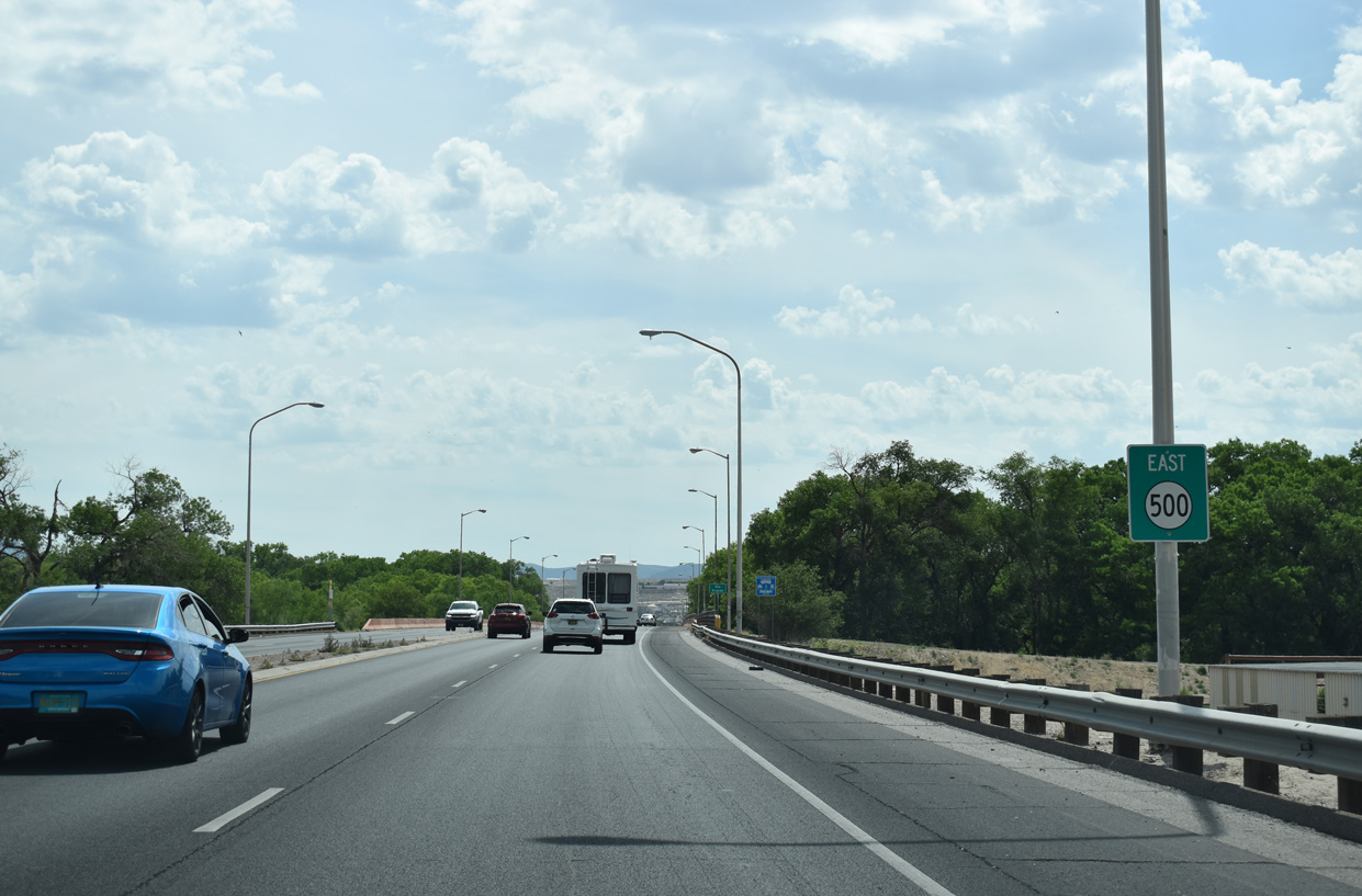
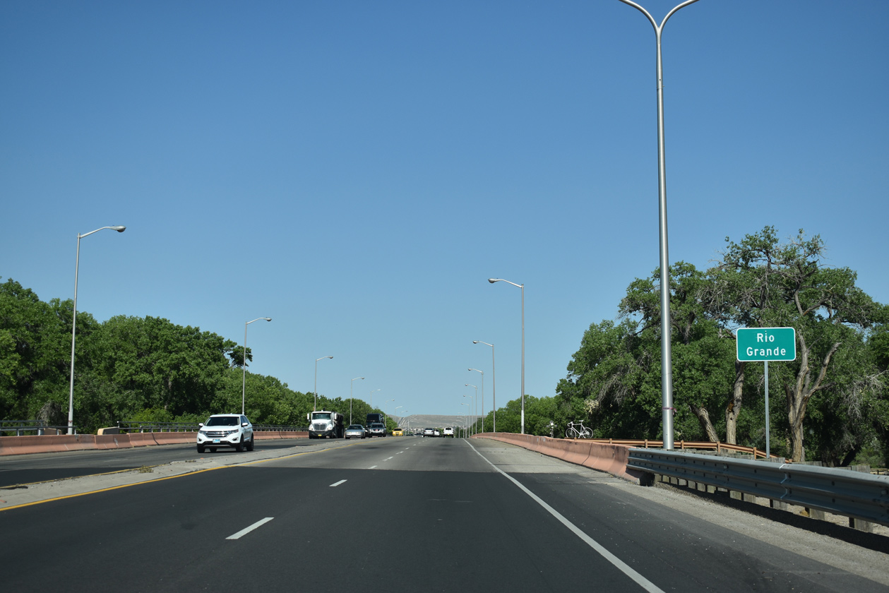
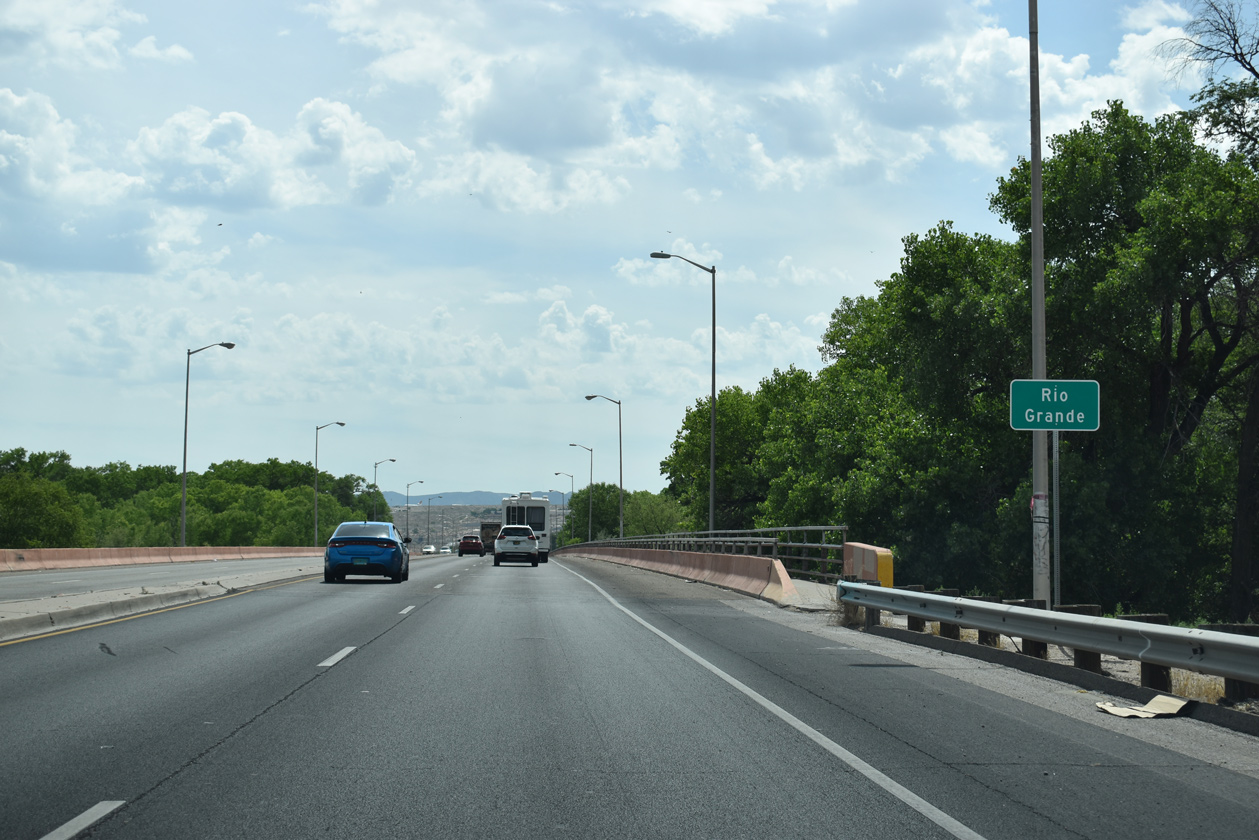  | NM 500 crosses the Rio Grande River between Isleta Boulevard and Poco Loco Drive. 06/17/19 |
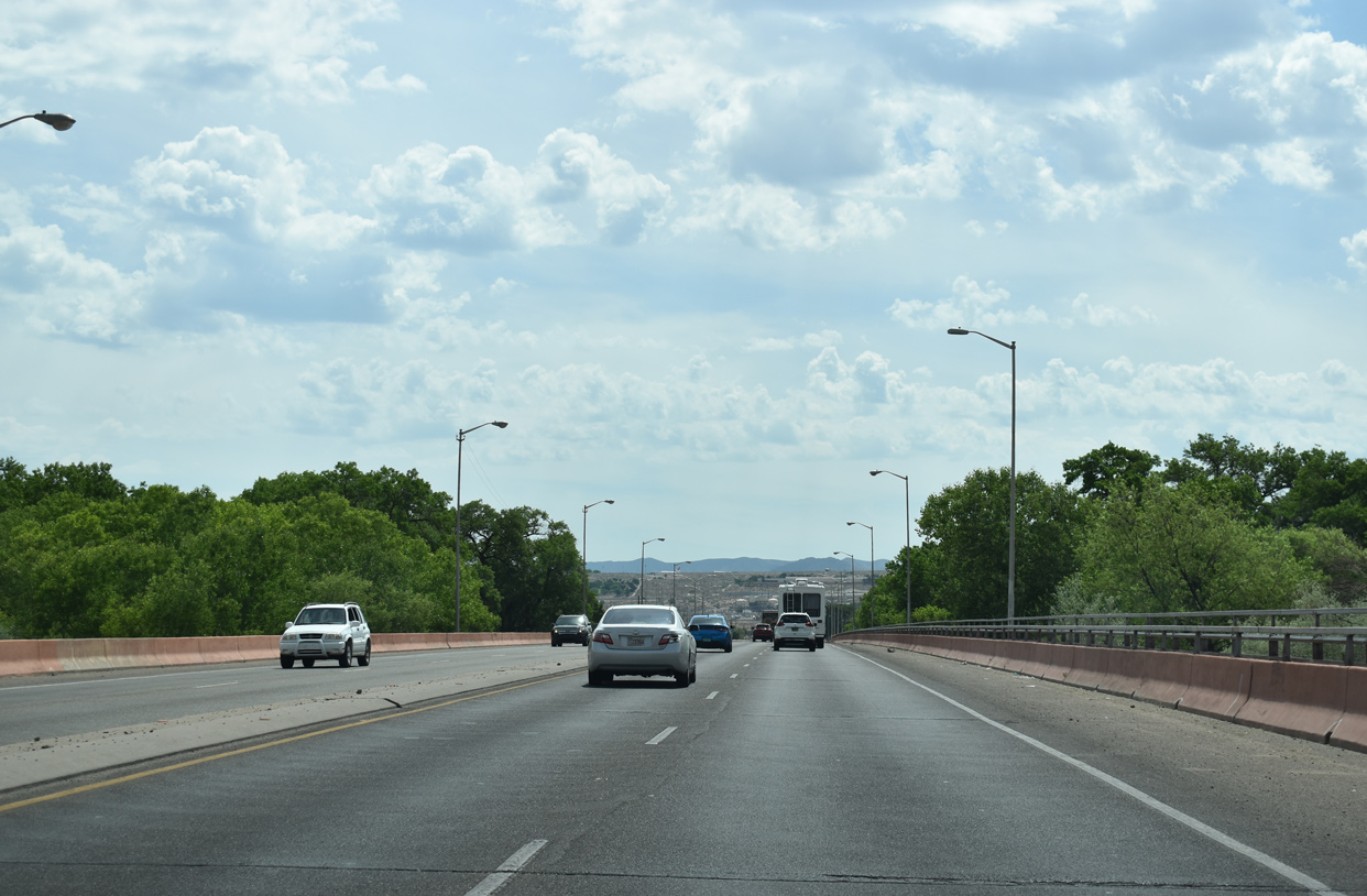
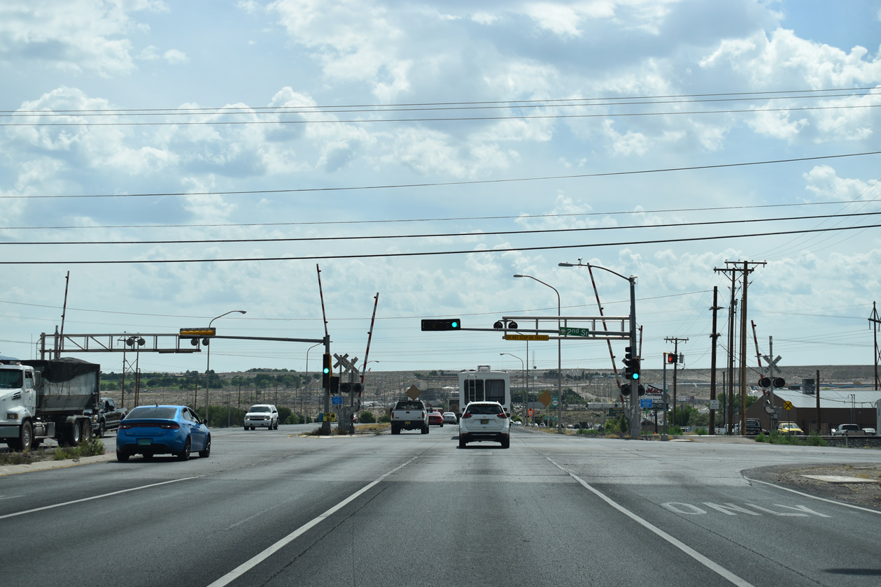 | Continuing east from the Rio Grande, Rio Bravo Boulevard arrives at 2nd Street and the parallel BNSF Railroad line at the San Jose neighborhood of Albuquerque. 2nd Street is former NM 303. 06/17/19 |
 | NM 500 runs through industrial areas along the south side of the San Jose neighborhood eastward to Interstate 25. 06/17/19 |
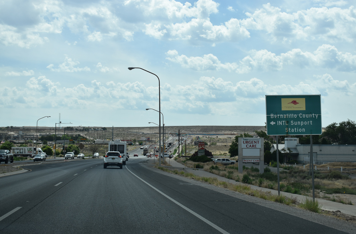  | Prince Street links Rio Bravo Boulevard with the nearby Railrunner - Bernalillo County Station to the north and several neighborhoods to the south. 06/17/19 |
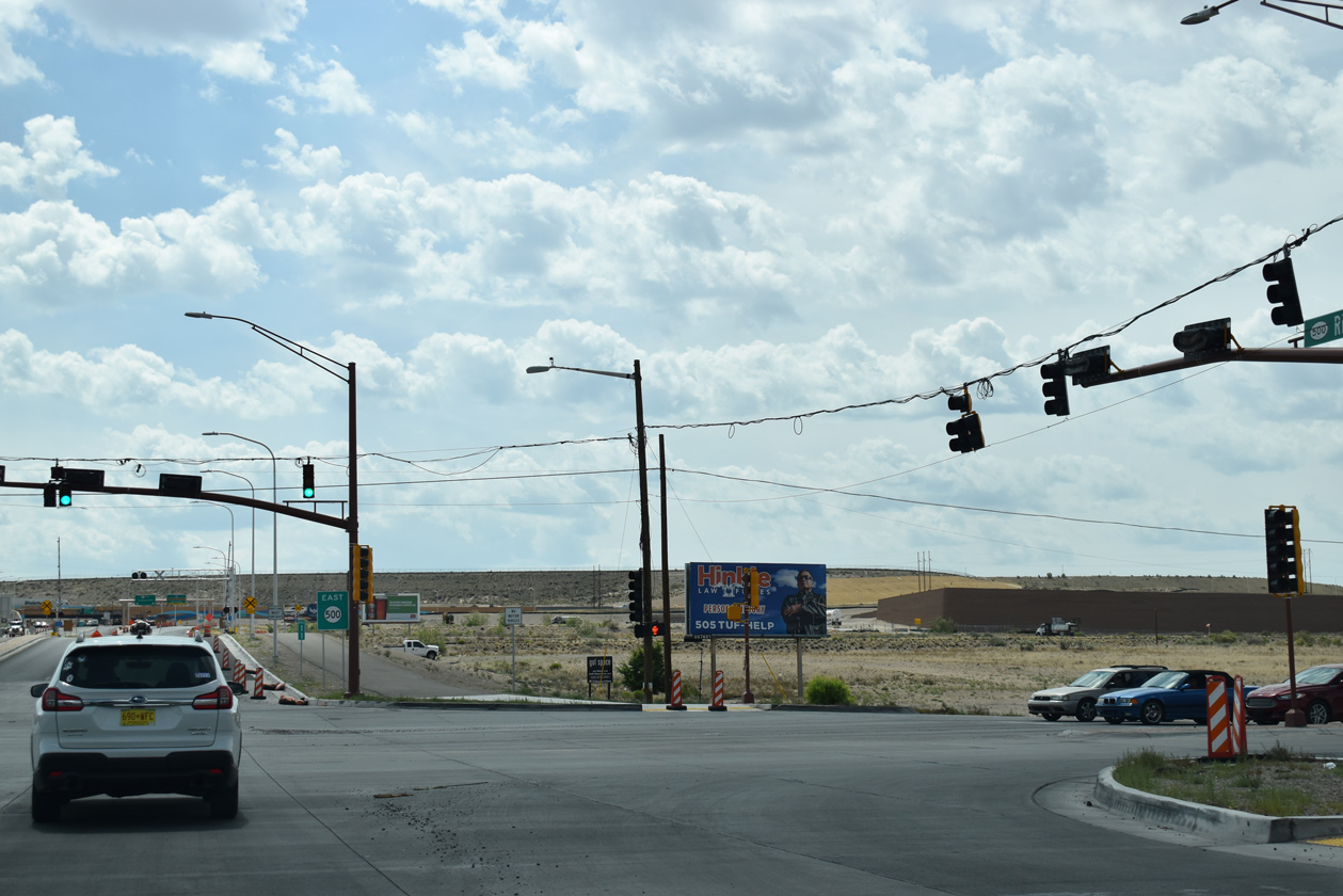 | NM 500 spans the South Diversion Channel leading into the signalized intersection with NM 47 (Broadway). NM 47 follows Broadway north to the Albuquerque city line and south to I-25 and Isleta Pueblo. 06/17/19 |
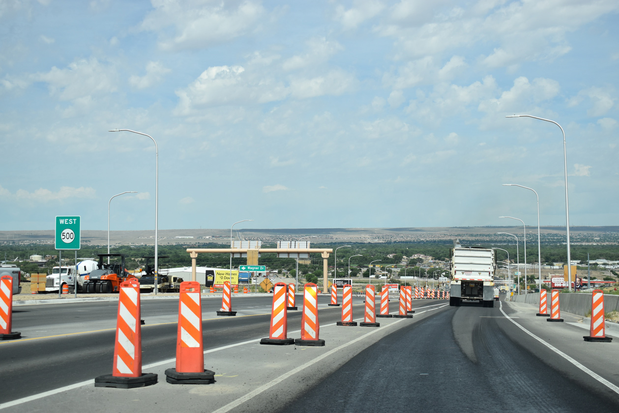
 | The ensuing stretch of NM 500 east of NM 47 was rebuilt as part of the I-25 / Rio Bravo Interchange project through Summer 2019. 06/17/19 |
 | Construction started on August 8, 2017 rebuilt the diamond interchange joining the east end of NM 500 with Interstate 25 into a parclo. 06/17/19 |
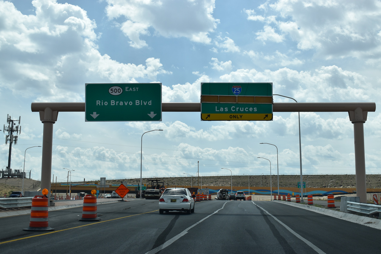
  | Interstate 25 travels south from NM 500 and Albuquerque to Belen, Socorro and Las Cruces. 06/17/19 |
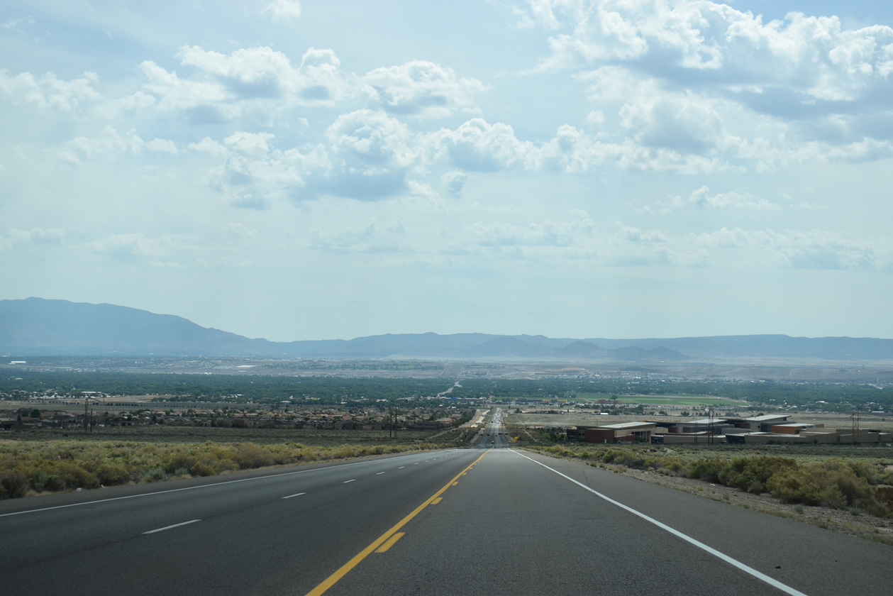
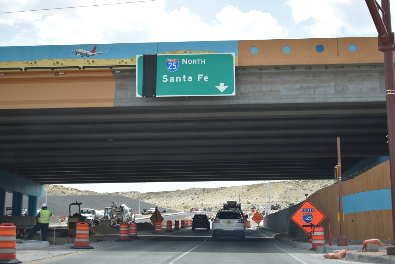 | A two lane loop ramp joins NM 500 (Rio Bravo Boulevard) east with Interstate 25 north to Downtown Albuquerque and Santa Fe. Rio Bravo Boulevard concludes at University Boulevard nearby. 06/17/19 |
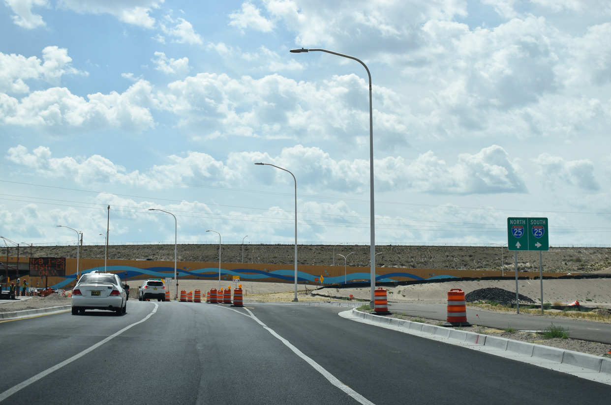
 | State Road 500 lowers from the parclo interchange with Interstate 25 toward NM 47 (Broadway) at the San Jose neighborhood in Albuquerque. 06/17/19 |
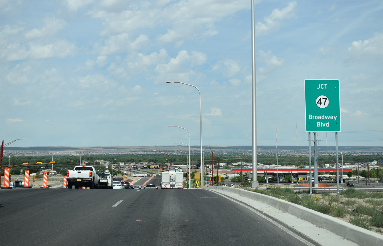 | NM 47 travels along Broadway to the Albuquerque city line, where city maintenance takes over along the four lane boulevard northward into Downtown. 06/17/19 |
 | The I-25 / Rio Bravo Interchange project included upgrading NM 500 west to NM 47 with concrete pavement. NM 47 parallels the Rio Grande south from Isleta Pueblo to Bosque Farms and Rio Communities. The state road angles southeast from the river near Belen to U.S. 60. 06/17/19 |
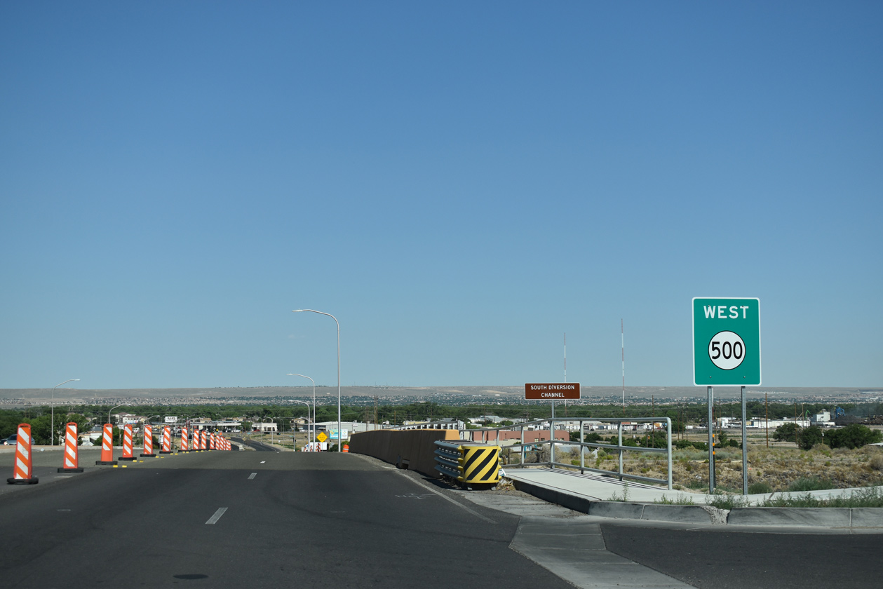 | NM 500 spans the South Diversion Channel to the immediate west of NM 47 (Broadway Boulevard). 06/20/19 |
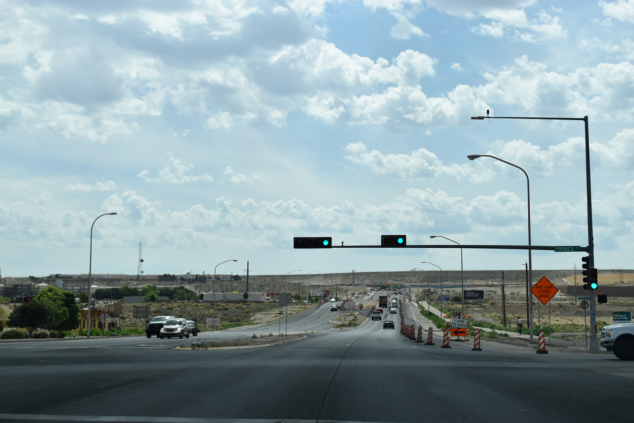
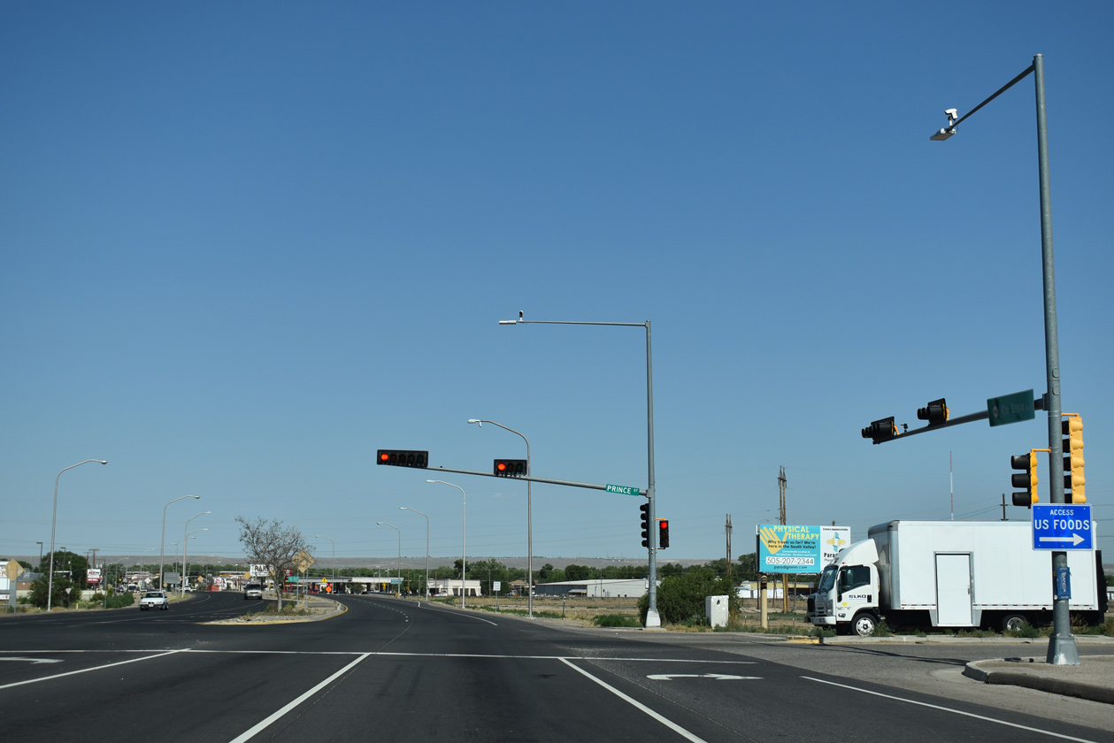 | Prince Street connects NM 500 (Rio Bravo Boulevard) with the Railrunner - Bernalillo Station, located along the east side of the BNSF Railroad and forthcoming 2nd Street. 06/20/19 |
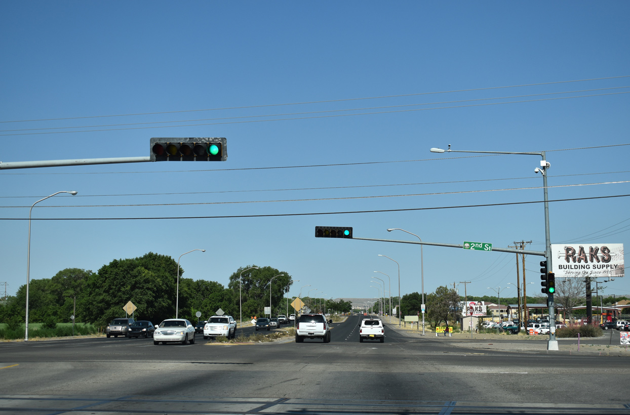 | 2nd Street (former NM 303) parallels the BNSF Railroad north along the San Jose neighborhood to the Barelas community and Downtown. 06/20/19 |
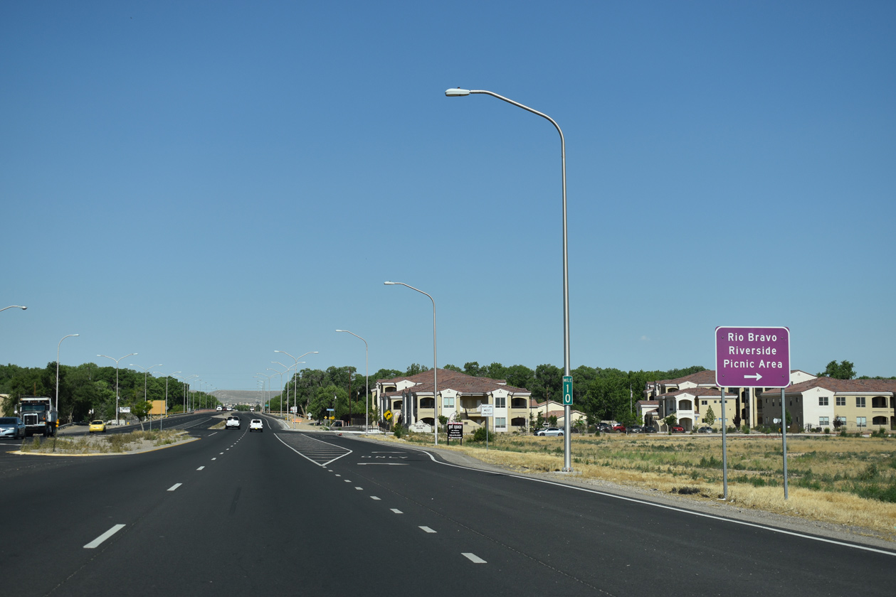 | Poco Loco Drive links NM 500 with Riverside Trail and the Rio Bravo Riverside Picnic Area along the Rio Grande. 06/20/19 |
 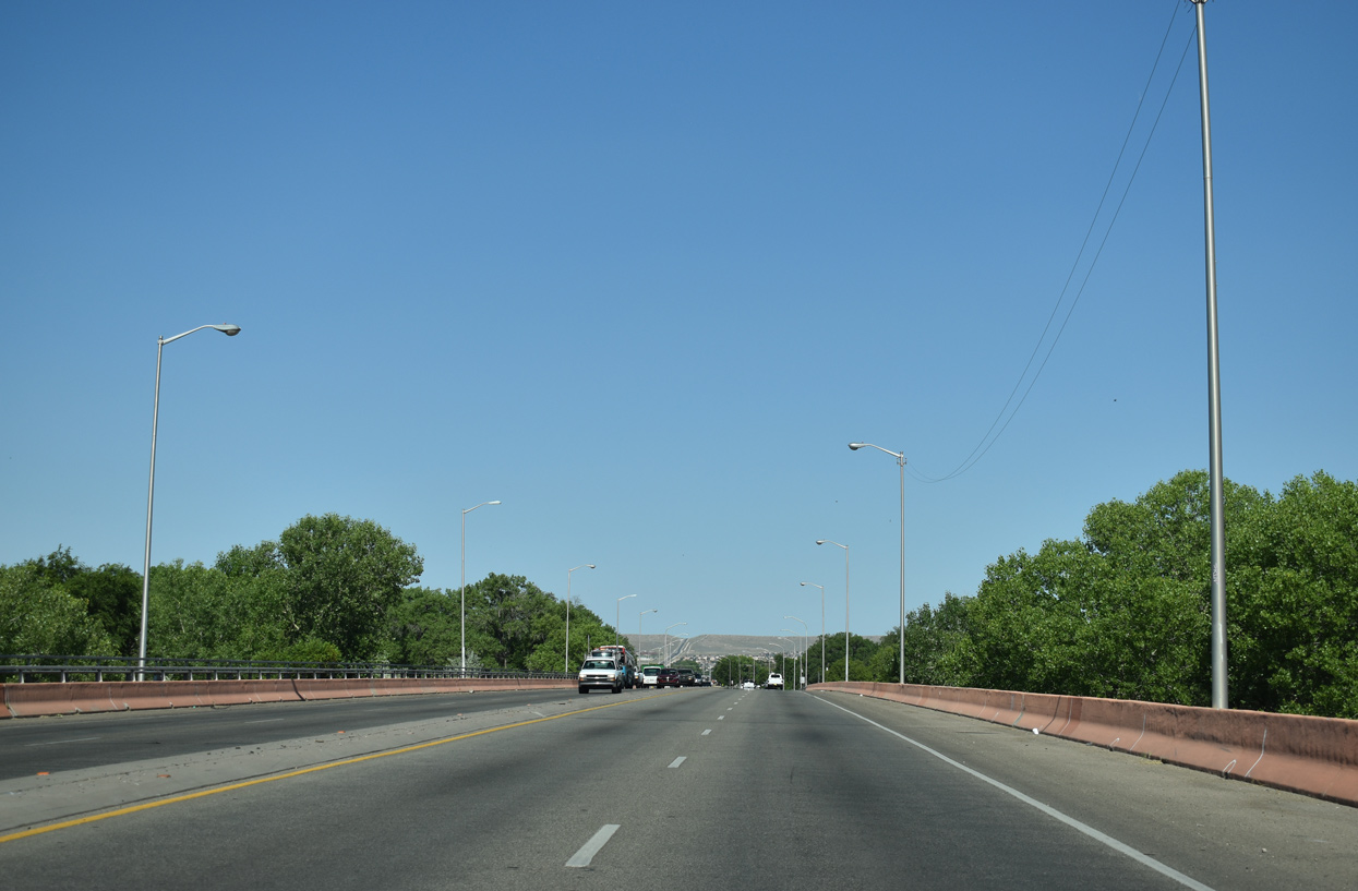 | NM 500 (Rio Bravo Boulevard) spans the Rio Grande west from Poco Loco Drive. 06/20/19 |
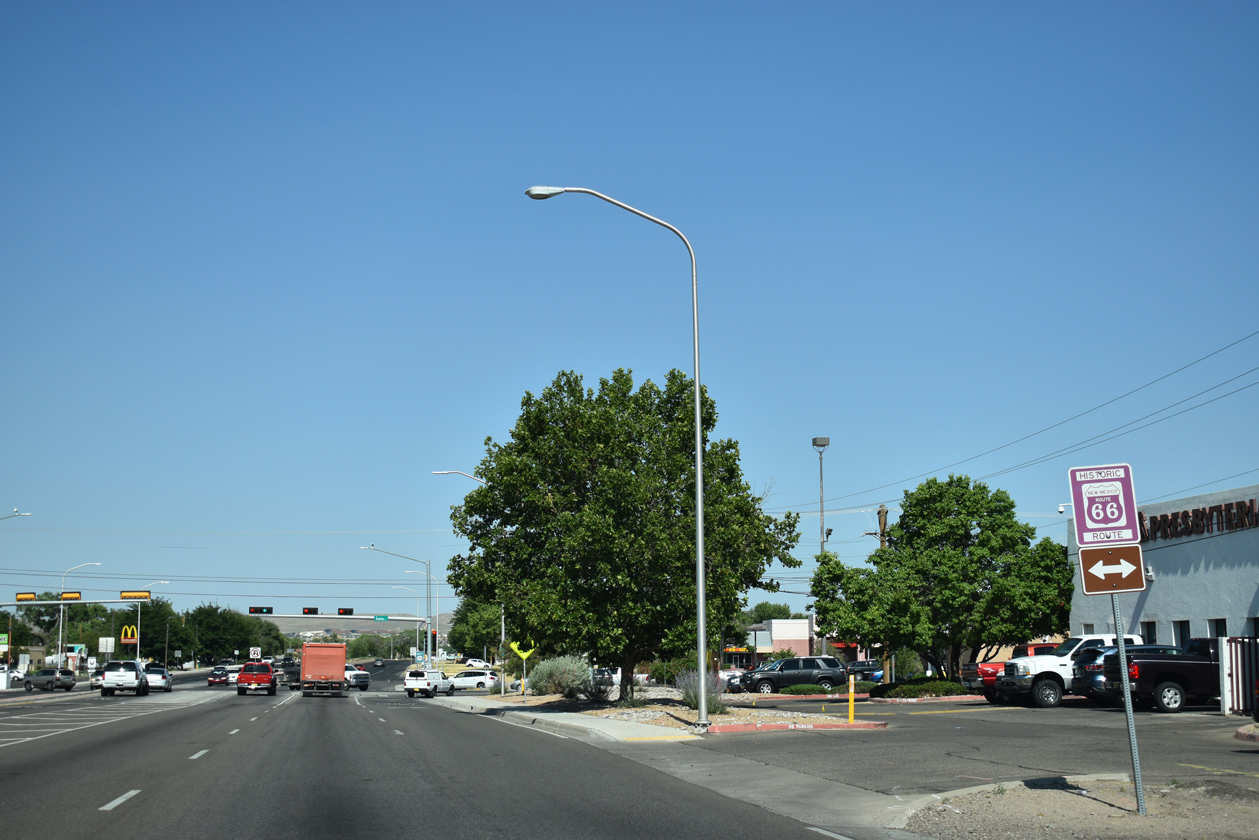 | The succeeding intersection along NM 500 westbound is with Isleta Boulevard, the pre-1937 alignment of U.S. 66 between Isleta Pueblo and Bridge Boulevard in Albuquerque. 06/20/19 |
 | Iselta Boulevard (FL-4009) comprises a primary arterial route following old U.S. 85 and NM 314 north to Five Points in Albuquerque and south to Las Padillas and Interstate 25 06/20/19 |
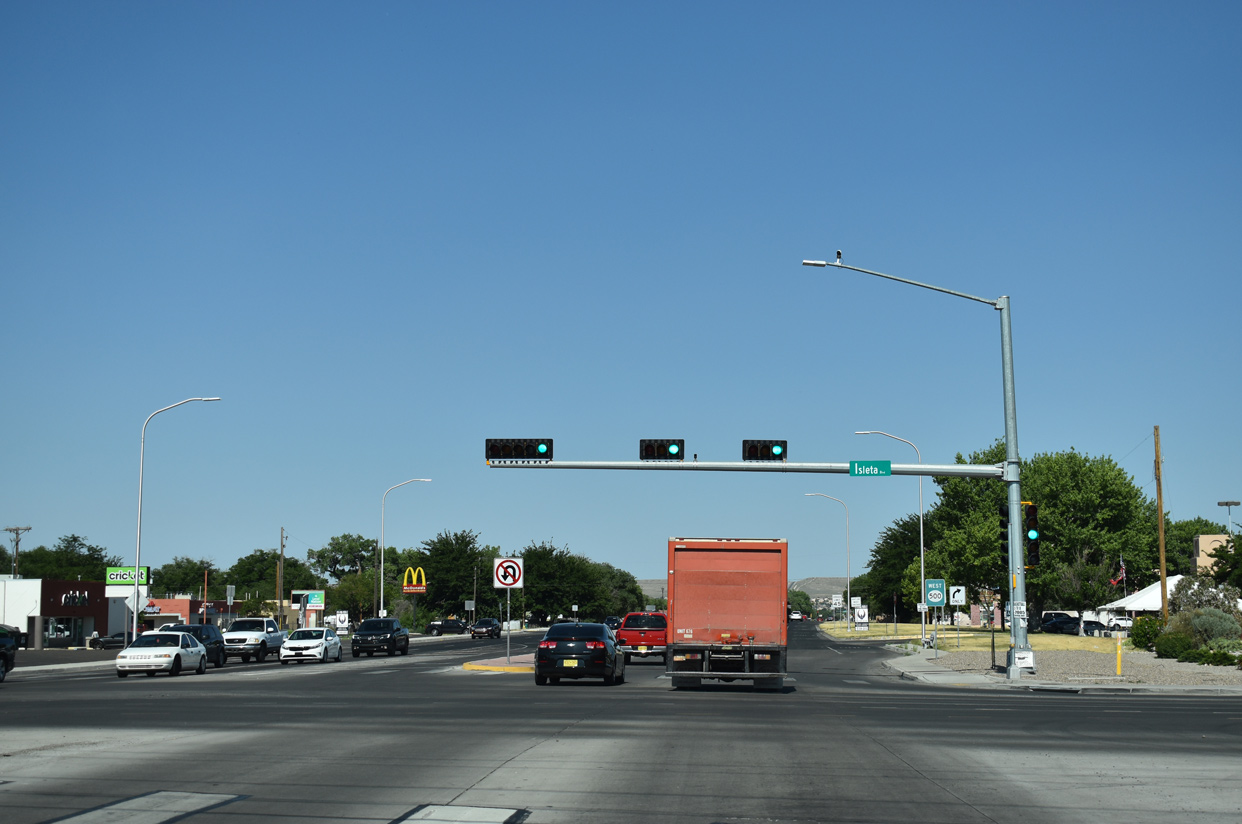
 | Leaving the commercialized intersection with Isleta Boulevard along NM 500 westbound. 06/20/19 |
 | NM 500 (Rio Bravo Boulevard) west next intersects Del Rio Road (FL-1060). 06/20/19 |
 | NM 500 (Rio Bravo Boulevard) arcs westward to Loris Drive and NM 45 (Coors Boulevard). 06/20/19 |
 | Rio Bravo Boulevard becomes Dennis Chavez Boulevard west of the upcoming intersection with NM 45 (Coors Boulevard). NM 45 constitutes a well traveled arterial route north through the West Side of Albuquerque to Rio Rancho. 06/20/19 |
 | NM 45 travels 22.92 miles overall between NM 314 at the village of Isleta and Pat D'Arco Highway (NM 528) in Rio Rancho. 06/20/19 |
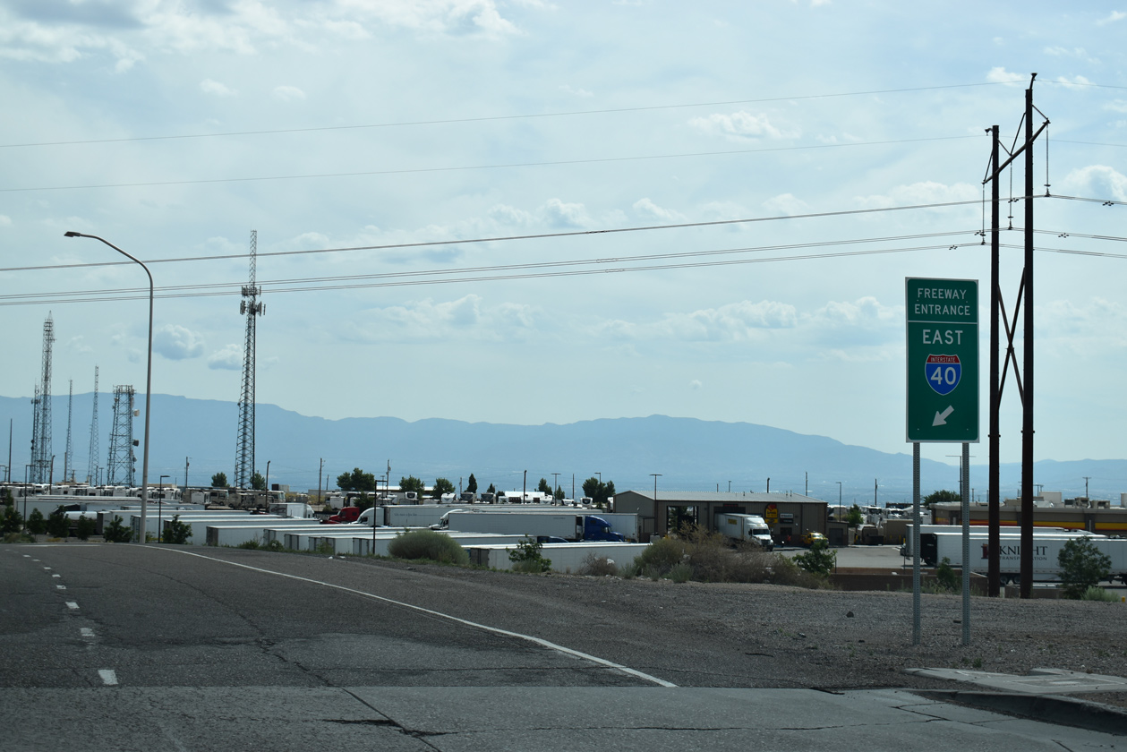
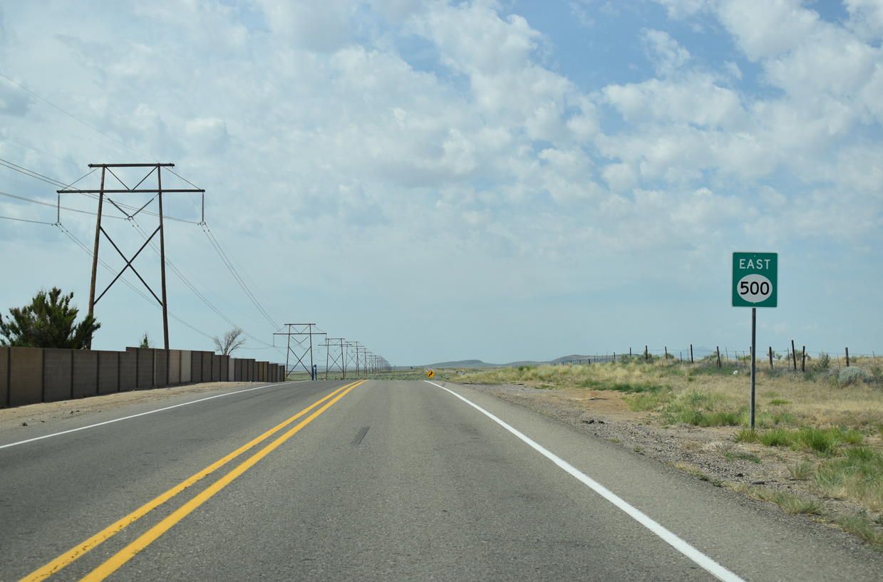
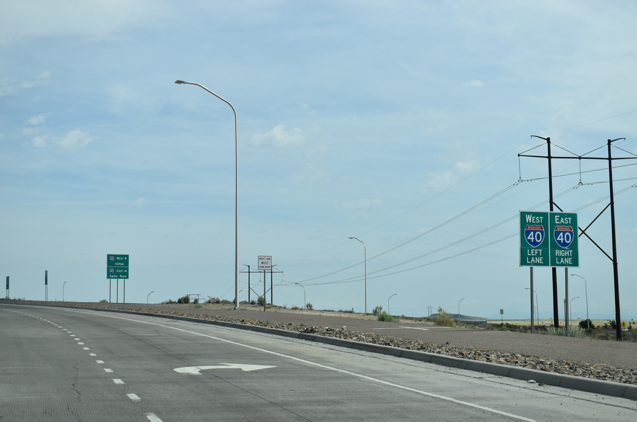 | NM 500 (Atrisco Vista Boulevard) meets Central Avenue (Historic U.S. 66) ahead of a diamond interchange with Interstate 40. An ARRA project from June 2009 to June 2010 removed an adjacent wye interchange with Historic U.S. 66 and expanded the exchange here with west side ramps. 06/17/19 |
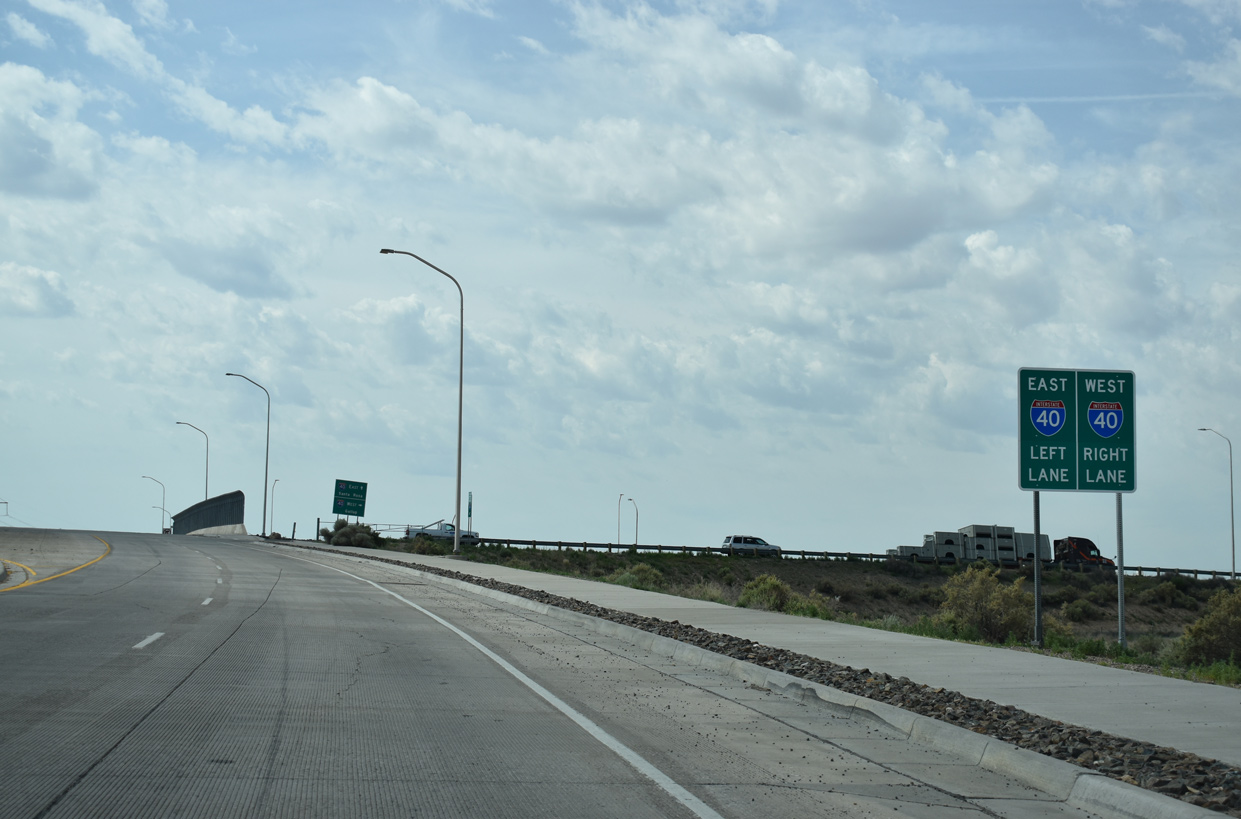
 | Interstate 40 crosses the width of Albuquerque en route to Moriarty and Santa Rosa in eastern New Mexico. 06/17/19 |
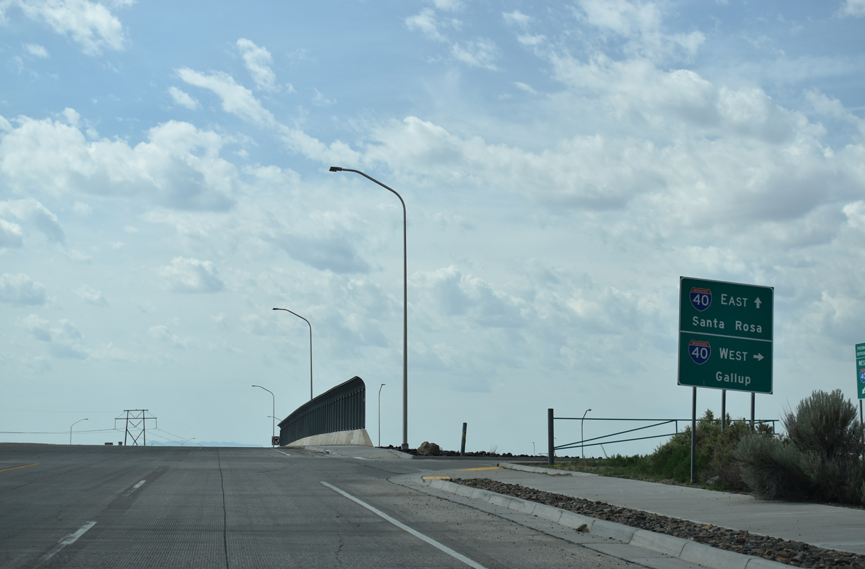
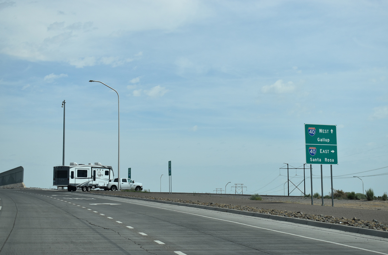
 | I-40 leads west from Atrisco Vista Boulevard to Gallup and Flagstaff, Arizona. Atriso Vista Boulevard extends 8.85 miles northward as FL-4007 to Double Eagle II Airport (AEG) and Paseo del Norte. 06/17/19 |
- "'Nasty' But Getting Nice - I-40/Paseo del Volcan work almost completed." Albuquerque Journal (NM), December 17, 2009.
- Frequently Asked Questions - I-25/Rio Bravo Interchange. New Mexico Department of Transportation (NMDOT), project web site.
- "NMDOT celebrates 'milestone' for I-25 Rio Bravo Interchange Project." KOB TV-4 (Albuquerque, NM), April 26, 2019.
- NM-500 over Amole Channel, Bernalillo County, New Mexico. BridgeReports.com
Photo Credits:
06/17/19, 06/20/19 by AARoads
Connect with:
Interstate 25
Interstate 40
Historic U.S. 66
State Road 45 - Coors Boulevard
Page Updated 06-24-2019.