Nevada State Route 208 connects U.S. 395 near Topaz Lake with U.S. 95 Alternate in Yerington. The 37.90 mile long highway serves the communities of Wellington and Smith by following the West Branch of the Walker River.
|
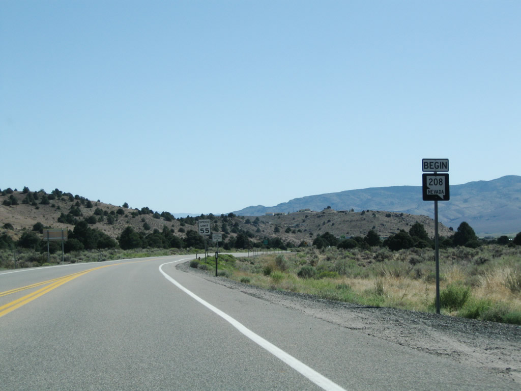
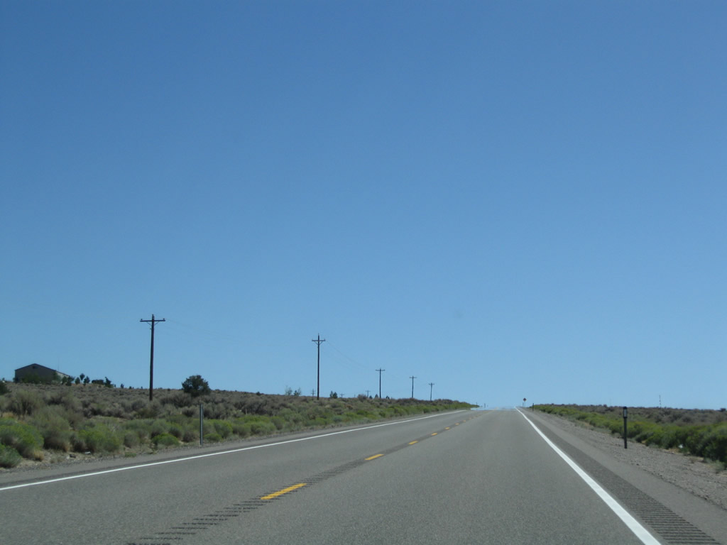
| The zero milemarker for SR 208 is posted in the median at the intersection with U.S. 395 north of Topaz Lake. SR 208 proceeds here from here toward Jack Wright Summit, Smith Valley and Wellington. 09/07/09 |
|
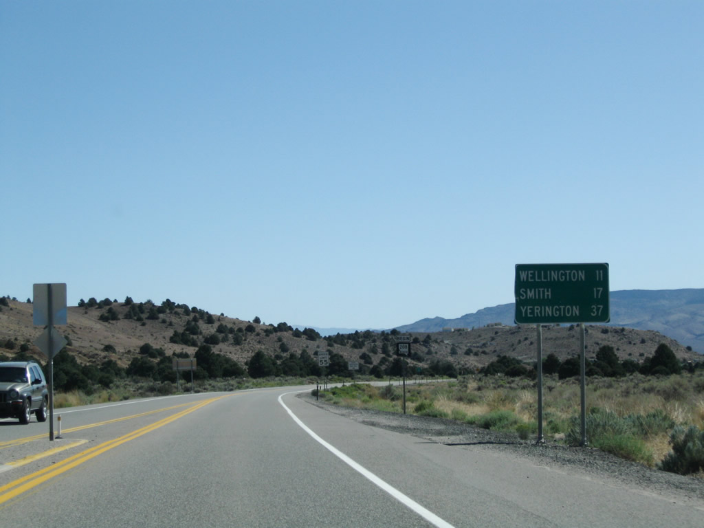
| SR 208 travels 11 miles east to Wellington and 17 miles to Smith along the 37 mile drive to Yerington. 09/07/09 |
|
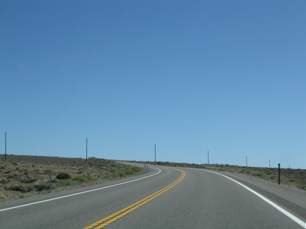
| The initial stretch of SR 208 (Topaz Road) passes between Gold Hill and Wild Oat Mountain. 09/07/09 |
|
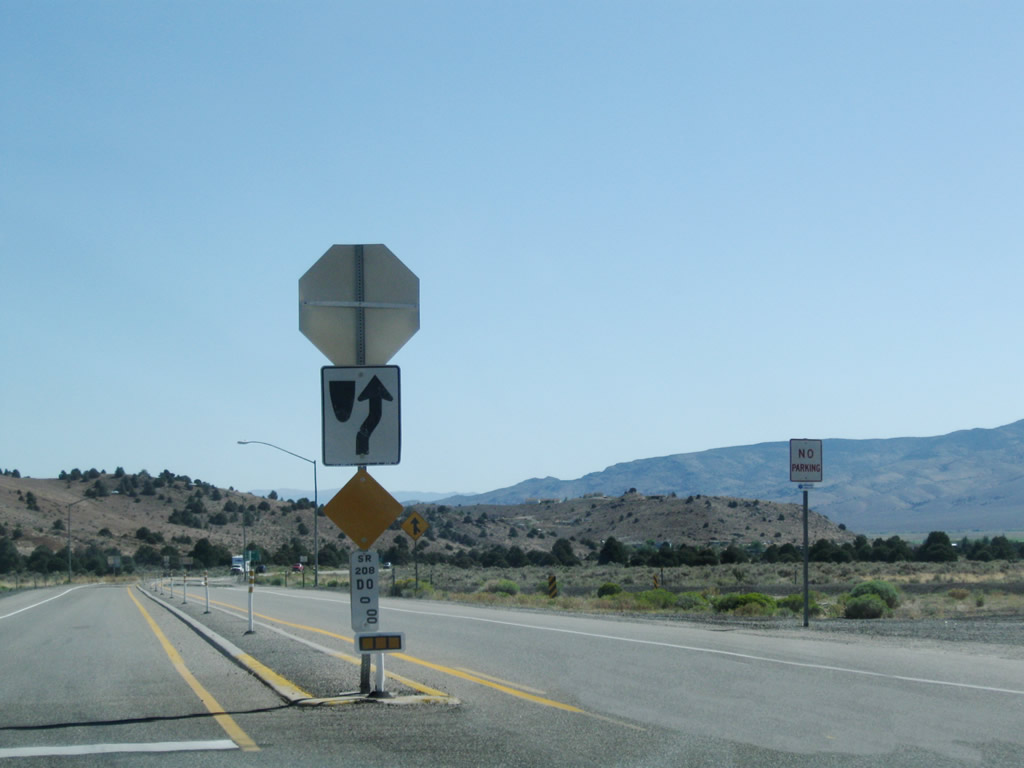
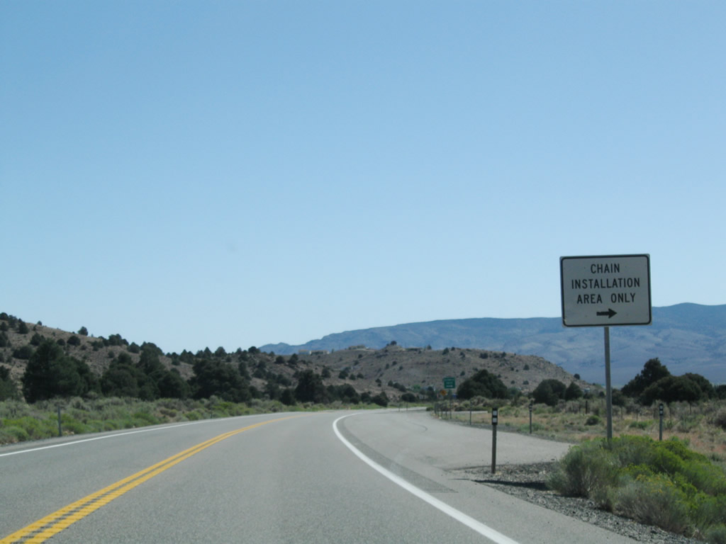
| A tire chain installation area follows along SR 208 east at Olympus Drive for the ensuing ascent to Jack Wright Summit. 09/07/09 |
|
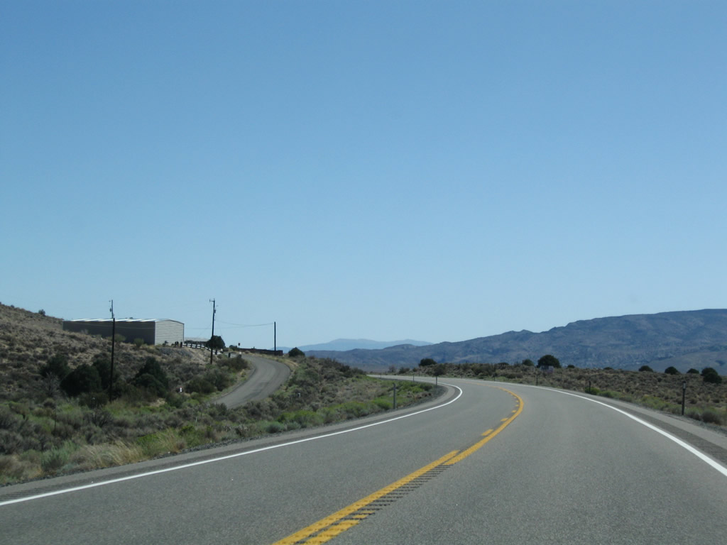
| Advancing east through Topaz Ranch Estates community along SR 208 south of the Pine Nut Mountains. 09/07/09 |
|
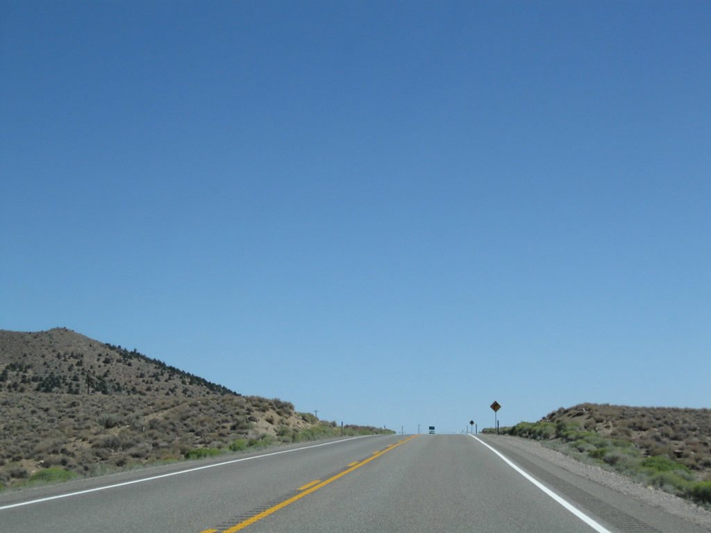
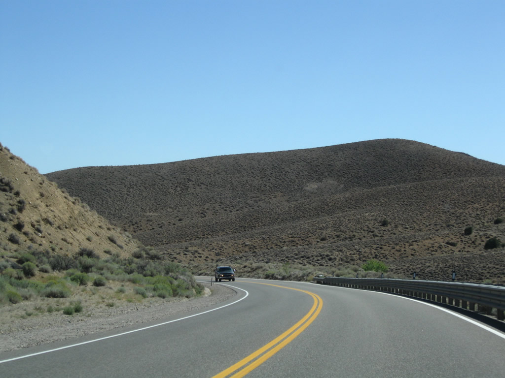
| Leaving Topaz Ranch, SR 208 gains over 300 feet in elevation to Jack Wright Summit. 09/07/09 |
|
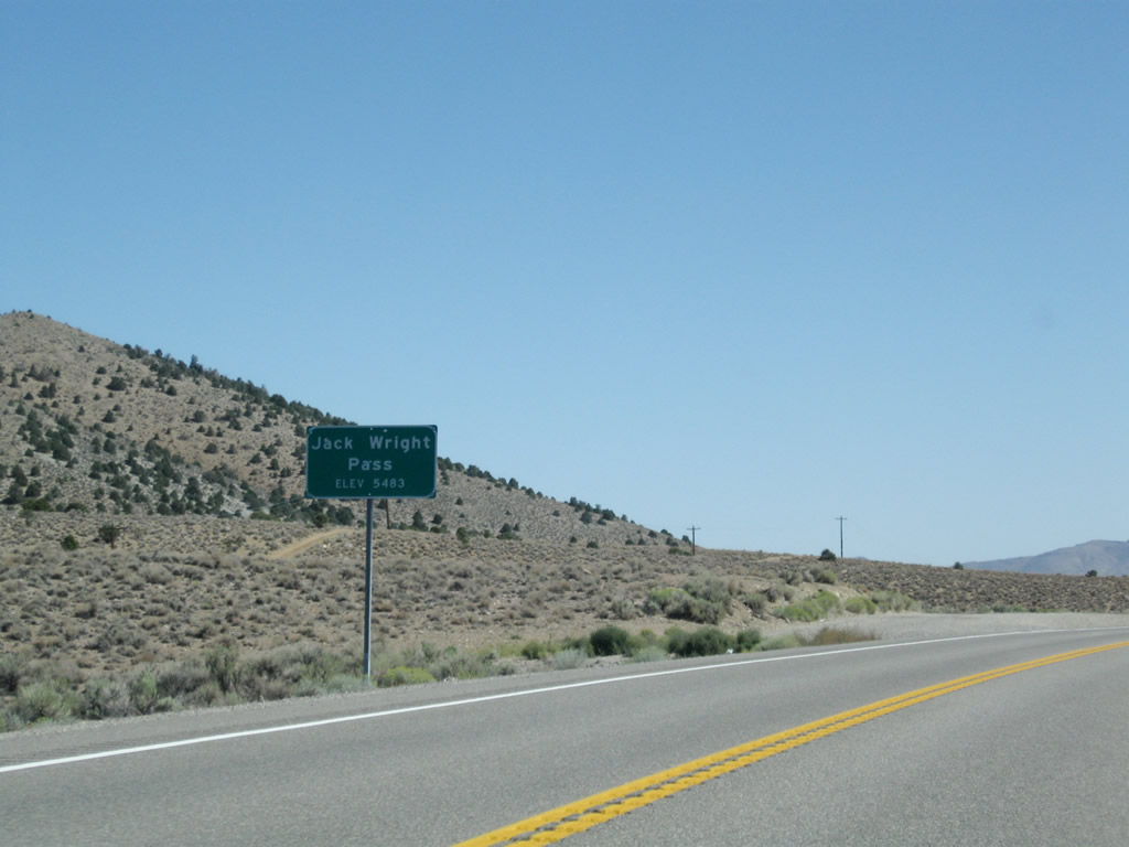
| Jack Wright Summit rests at an elevation of 5,483 feet above sea level between the Pine Nut Mountains and Wellington Hills. 09/07/09 |
|
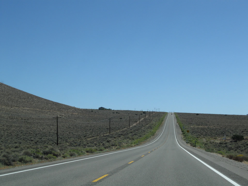
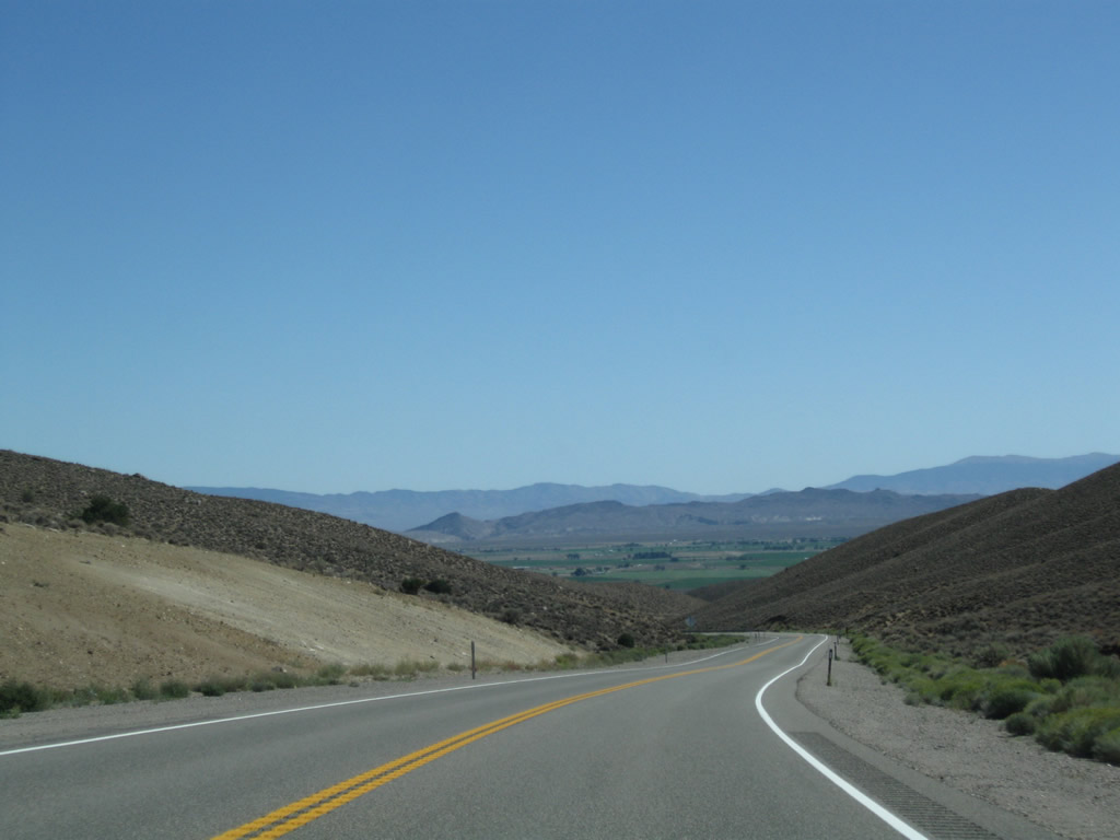
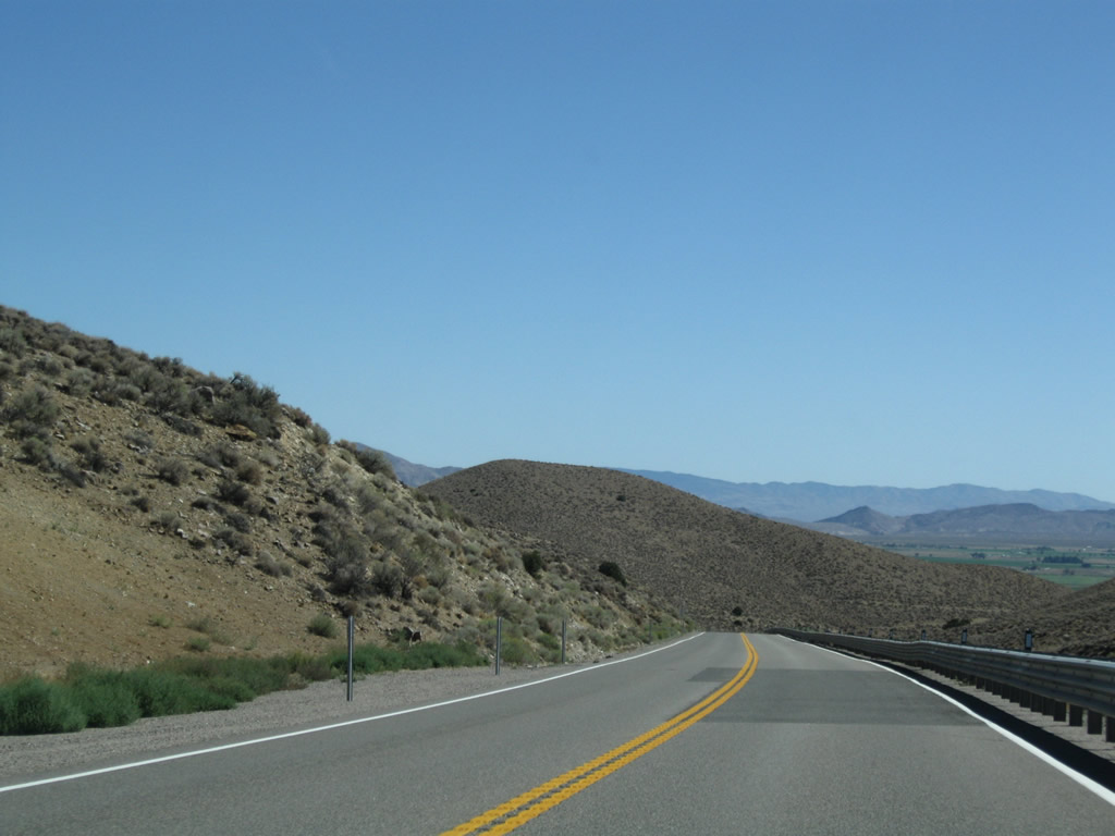
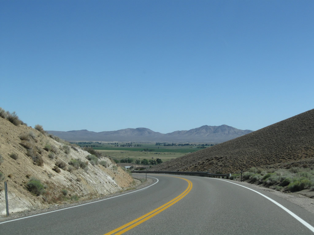
| SR 208 descends 400 feet to Smith Valley through a series of S-curves to Lower Colony Road. 09/07/09 |
|
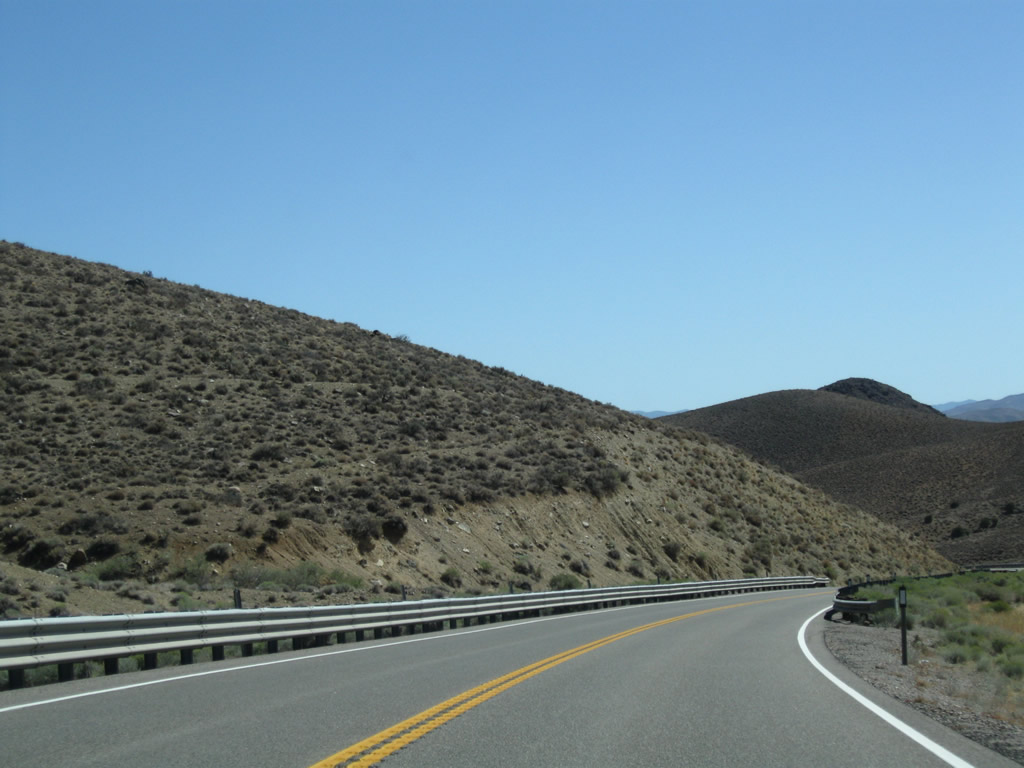
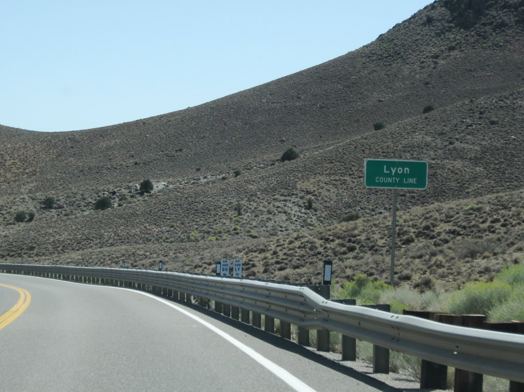
| SR 208 crosses the Lyon County line 8.775 miles east of U.S. 395. 09/07/09 |
|
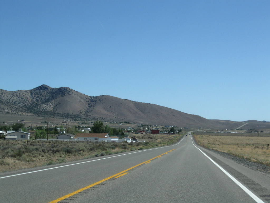
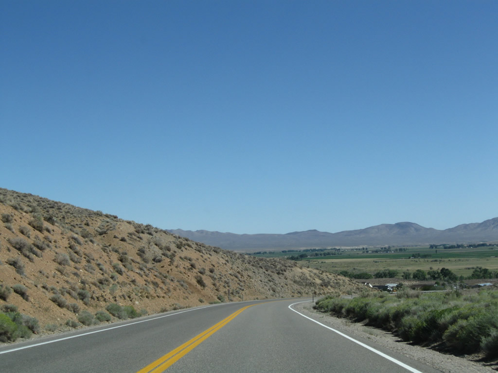
| Lowering into Smith Valley, an area of Lyon County that had a population of 1,603 as of the 2010 Census. Fed by waters of the Walker River, the agricultural valley includes Wellington and Smith, with irrigated fields and ranches lining both sides of SR 208. 09/07/09 |
|
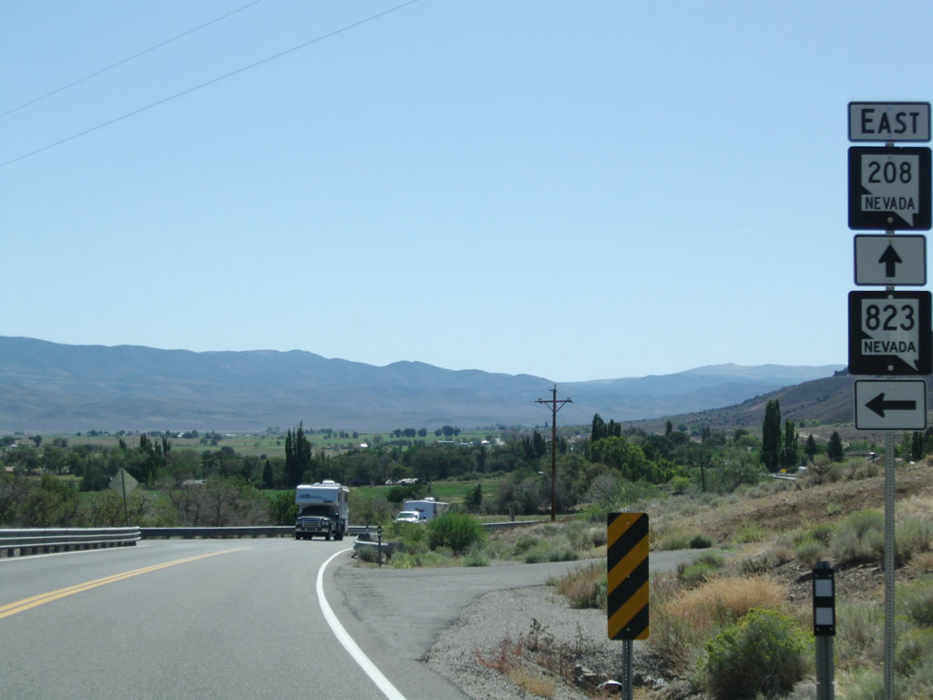
| SR 823 (Lower Colony Road) stems 7.62 miles north from SR 208 to the unincorporated community of Simpson and Upper Colony Road. 09/07/09 |
|
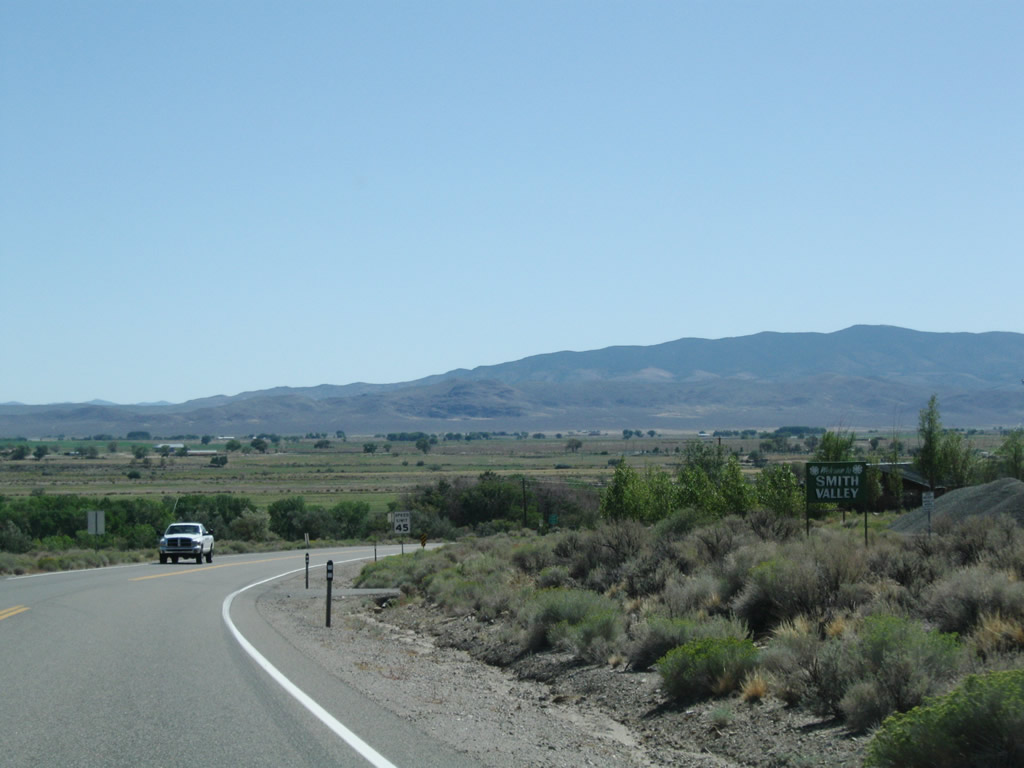
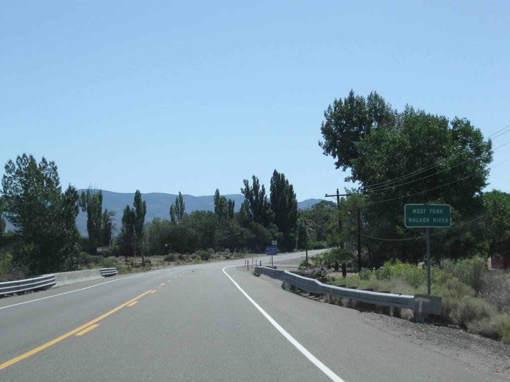
| Curving southeast from SR 823, SR 208 crosses over the West Fork of the Walker River. Waters from the west and east forks converge and flow north from the Smith Valley, then east and south into Walker Lake. 09/07/09 |
|
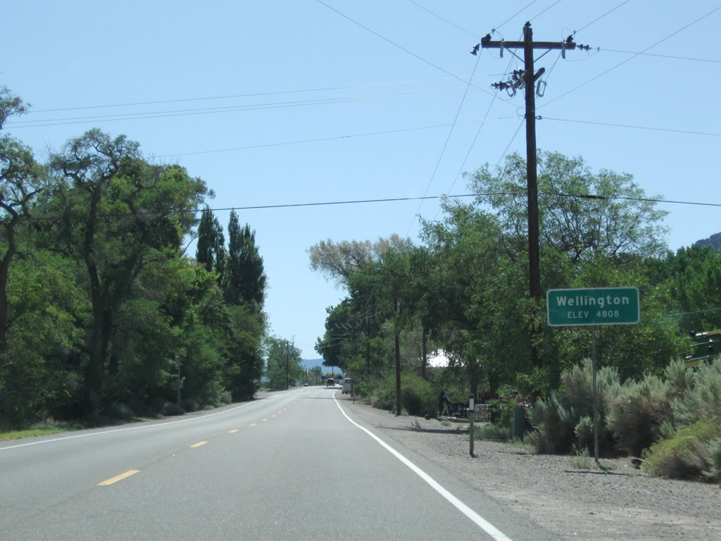
| Located at an elevation of 4,808 feet above sea level, SR 208 enters Wellington, an unincorporated community within Smith Valley. 09/07/09 |
|
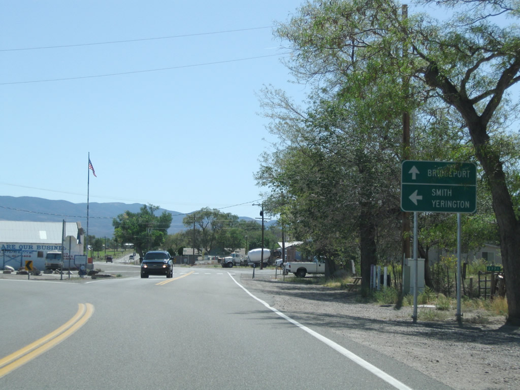
| Signed here as SR 338, SR 829 branches southeast from SR 208, three quarters of a mile beyond the West Fork of the Walker River. The state route comprises a 3.09 mile connector to SR 338 (Sweetwater Road). 09/07/09 |
|
| Wellington Road (SR 829) provides a cutoff south to SR 338 for California State Route 182 to Bridgeport. SR 208 turns northeasterly to Smith, where it meets the north end of SR 338. 09/07/09 |
Page Updated 04-19-2019.