Rhode Island Route 136 heads northward from Route 114 in south Bristol through Warren and Swansea, Massachusetts. The state route continues northward to Interstate 195 in the Bay State.
|
| Route 136 begins without a reassurance shield at the split with Route 114 (Ferry Road) along Metacom Avenue by Roger Williams University. 07/28/07 |
|
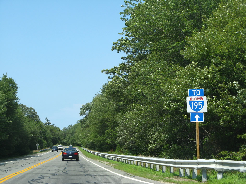
| An Interstate 195 trailblazer follows the Route 136 (Metacom Avenue) northbound intersection with Griswold Avenue. 07/28/07 |
|
| Griswold Avenue forms a right angle alignment east of Route 136 before merging with Metacom Avenue ahead of this reassurance marker. 07/28/07 |
|
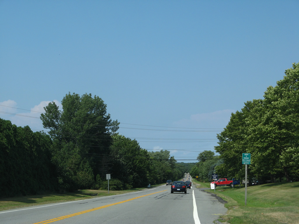
| Route 136 becomes a bit more commercial through the eastern reaches of the Bristol street grid at Tower Street. Tower Street spurs east from the state route to the Mount Hope area on Bristol Neck. 07/28/07 |
|
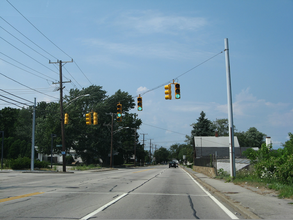
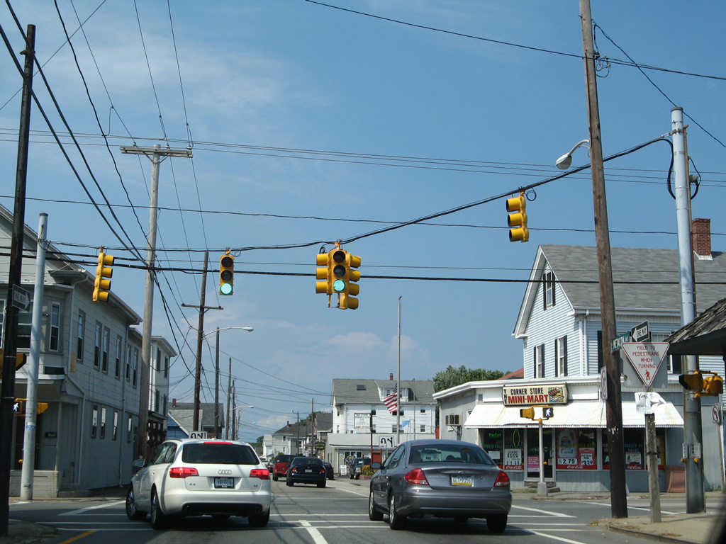
| A traffic light governs the movements between Route 136 (Metacom Avenue), Bayview Avenue west and a shopping center entrance. 07/28/07 |
|
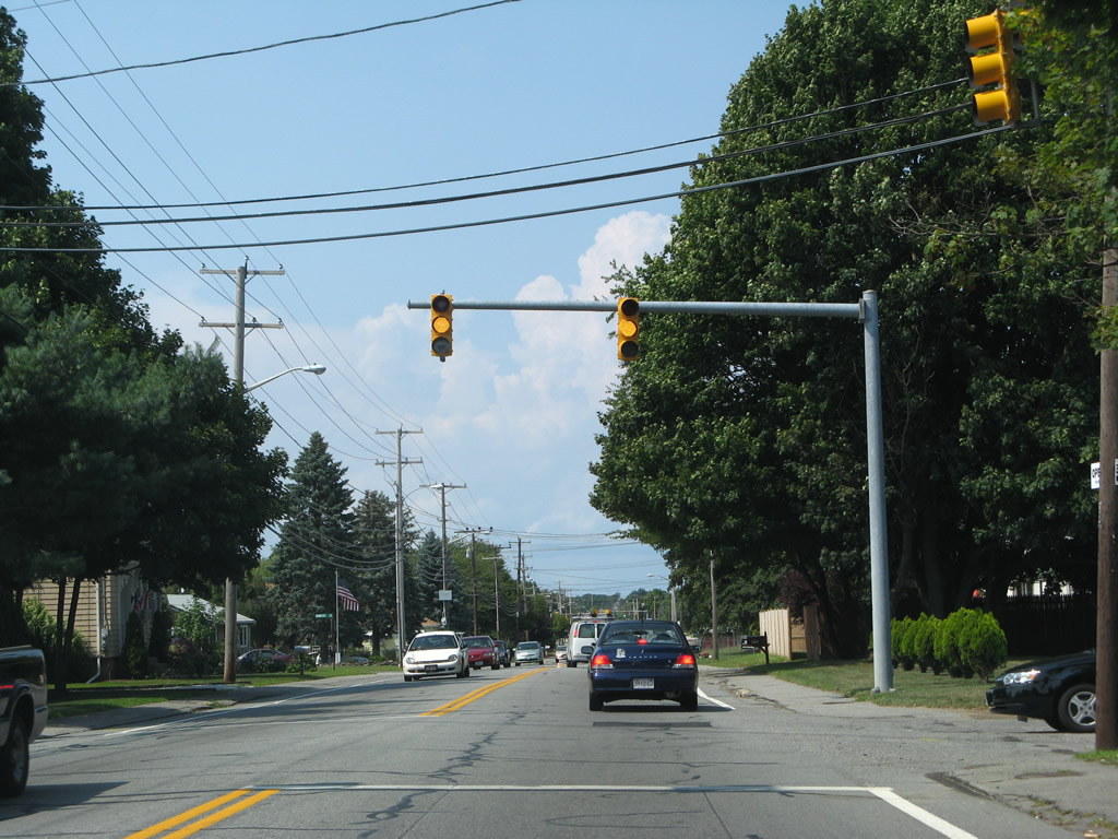
| Highview Drive east and Roosevelt Drive west tie into Metacom Avenue at the next northbound traffic signal. Both roads comprise residential streets. 07/28/07 |
|
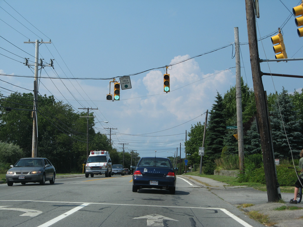
| Chestnut Street links Route 136 (Metacom Avenue) with parallel Route 114 (Hope Street) at Fort Hill to the west. 07/28/07 |
|
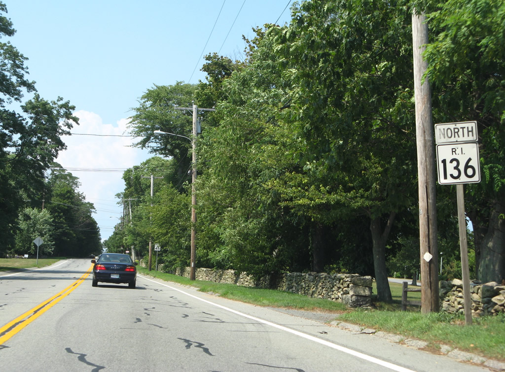
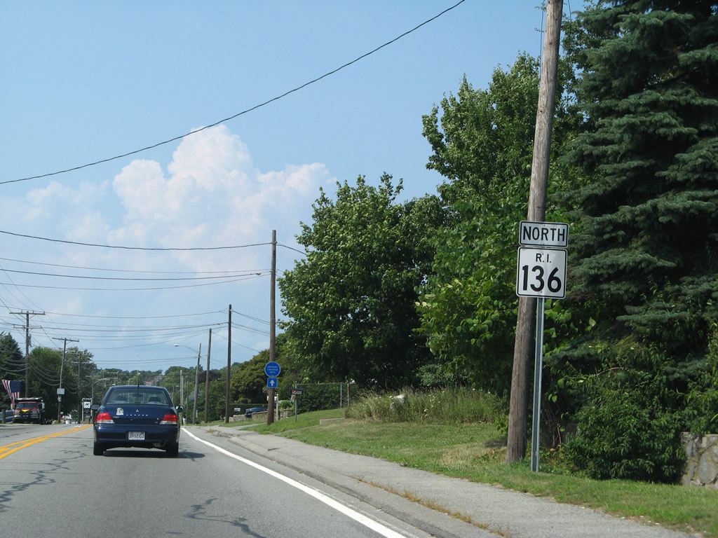
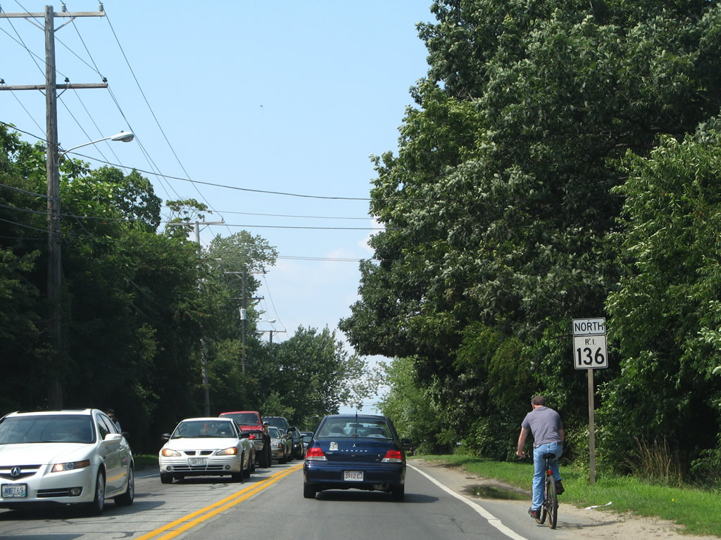
| Continuing beyond the next reassurance marker of R.I. 136 after Chestnut Street. 07/28/07 |
|
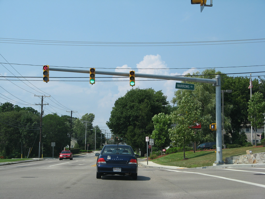
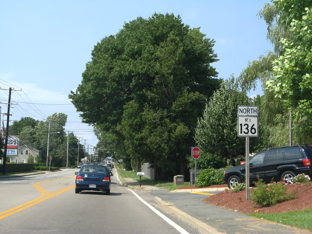
| Narrows Road west and Gooding Avenue east meet at this mast-arm traffic light assembly along Route 136. Gooding Avenue serves residential and industrial areas between Metacom Avenue and R.I. 114. Narrows Road serves residential areas just southwest of Bristol Narrows along Mt. Hope Bay. 07/28/07 |
|
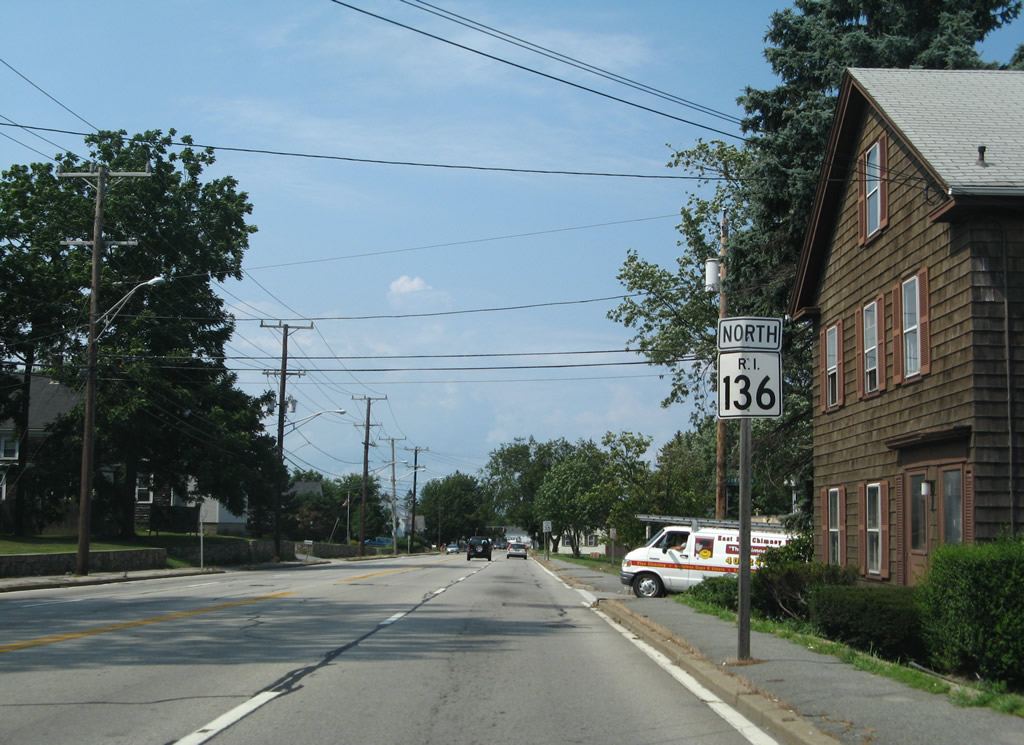
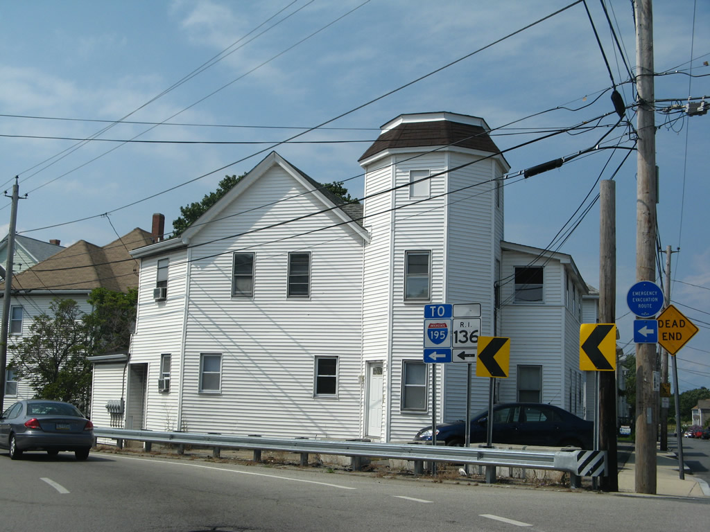
| Route 136 doubles as an emergency evacuation route to the Massachusetts state line. 07/28/07 |
|
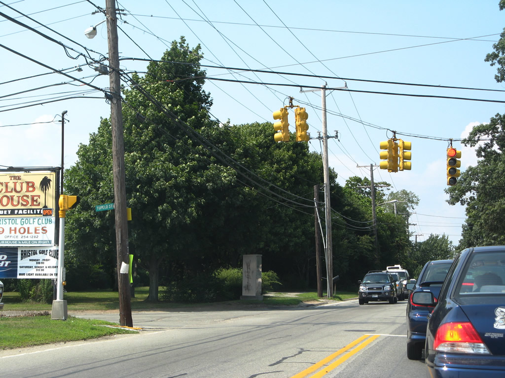
| Tupelo Street east ends opposite Michael Drive at this traffic light east of Halfmile Hill and Route 114. 07/28/07 |
|
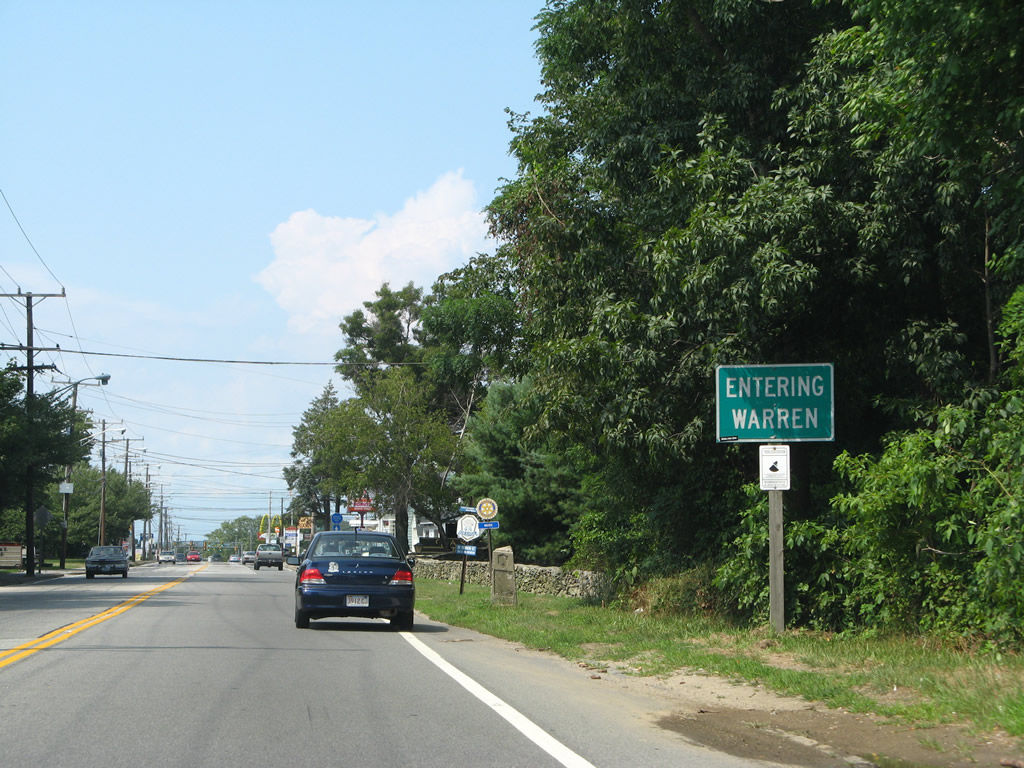
| Approaching the Warren Town line along Route 136 north. 07/28/07 |
|
| Route 136 expands to four overall lanes once in Warren. 07/28/07 |
|
| Vernon Street connects Route 136 (Metacom Avenue) with Main Street (Route 114) to the west. 07/28/07 |
|
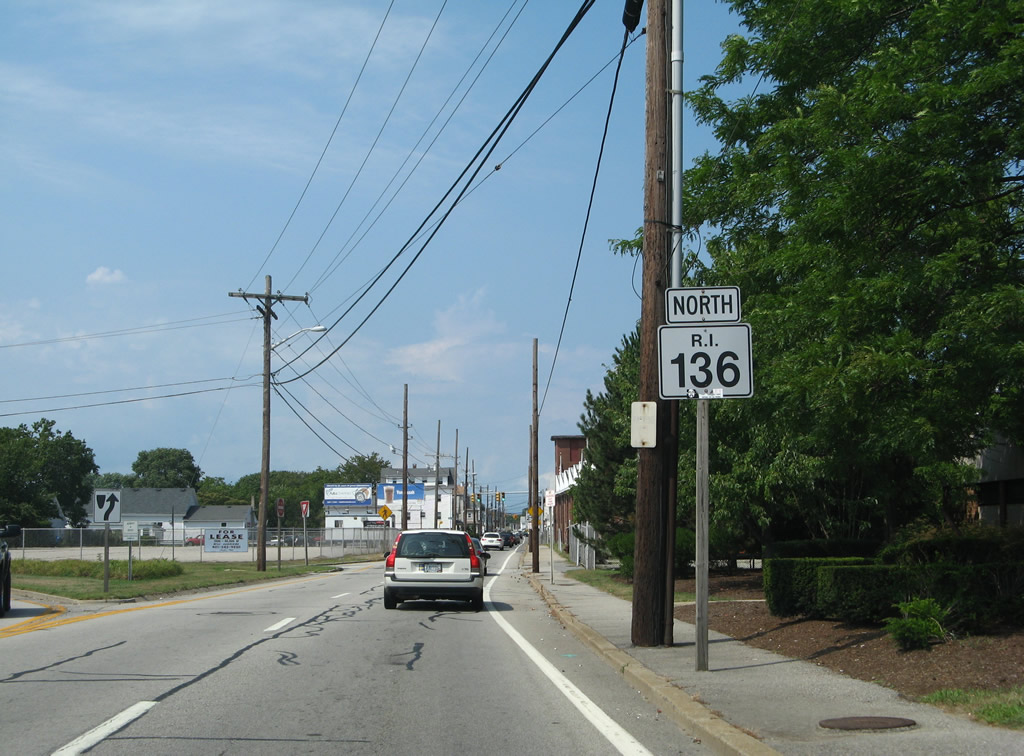
| Another Route 136 shield follows the intersection with Vernon Street. 07/28/07 |
|
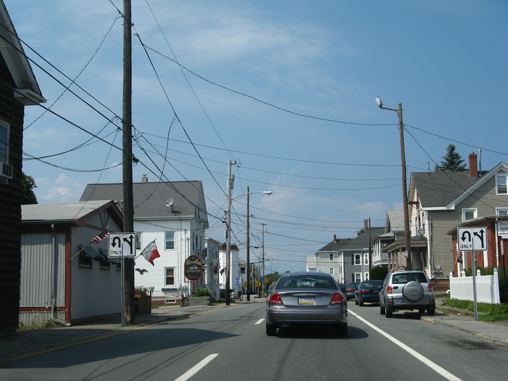
| Route 136 partitions into a one way street couplet north of Franklin Street. Northbound traffic remains along Metacom Avenue while southbound utilizes Arlington Avenue one block to the west. 07/28/07 |
|
| Route 136 northbound at Rosa Boulevard, a one block connector between Metacom and Arlington Avenues. 07/28/07 |
|
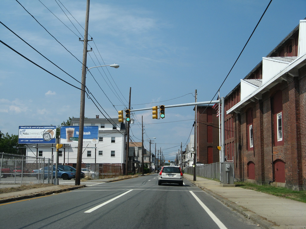
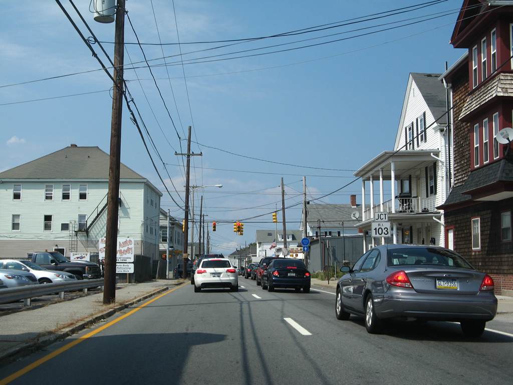
| A short distance further is the junction with Route 103 (Child Street) in Warren. R.I. 103 travels 11.3 miles from Interstate 195 in East Providence to the Massachusetts state line. 07/28/07 |
|
| Heading west, Route 103 follows Child Street to a merge with Route 114 (Main Street) north into the Town of Barrington. Eastward, the state route becomes Massachusetts 103 en route to Ocean Grove and Somerset. 07/28/07 |
|
| Northbound Route 136 leaves Metacom Avenue for Kickemuit Road beyond the intersection with Child Street. 07/28/07 |
|
| Metacom Avenue dead ends beyond Route 136 as the state route branches northwest to Arlington Avenue and Market Street. 07/28/07 |
|
| The couplet of Route 136 combines at the north end of Arlington Avenue along Kickemuit Road northwest. 07/28/07 |
|
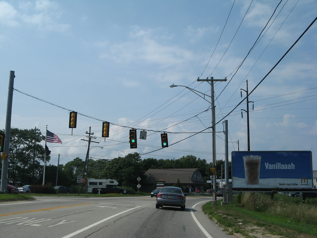
| Kickemuit Road defaults onto Market Street north at this traffic light east of Belcher Cove. 07/28/07 |
|
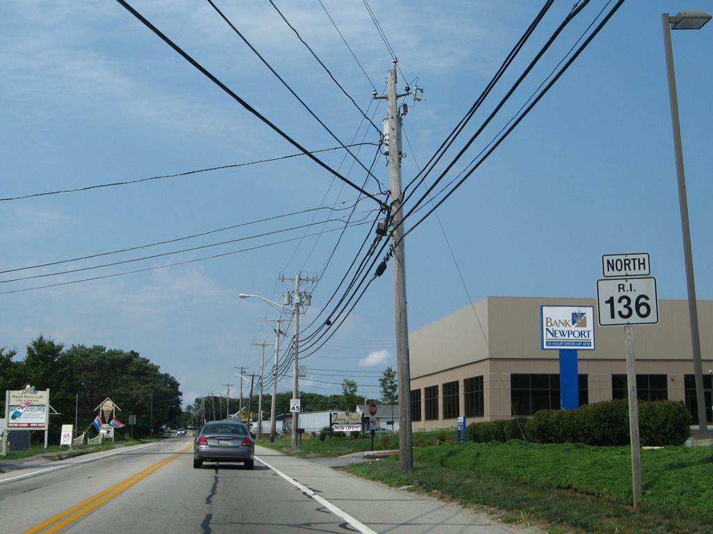
| Continuing north, an assortment of businesses line Market Street to the Massachusetts state line. 07/28/07 |
|
| Schoolhouse Road continues Old Warren Road west from Swansea, Massachusetts to end at Route 136 just south of this shield assembly. 07/28/07 |
|
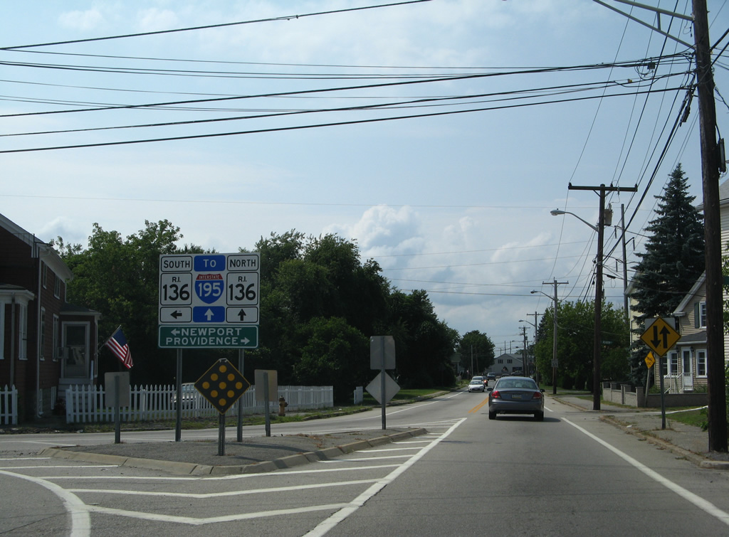
| Route 136 transitions into Massachusetts 136 at the state line. The state route continues north 1.2 miles to meet Interstate 195 within the Town of Swansea. 07/28/07 |
Page Updated 08-15-2012.