
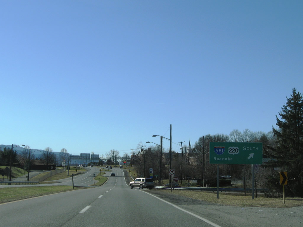
U.S. 11, 220 Business, and 221 overlap with SR 116 from Downtown to U.S. 460 (Orange Avenue) while Interstate 581 and U.S. 220 travel above the city street grid.
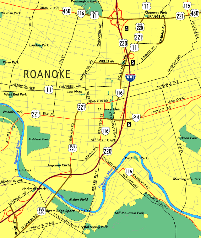
 | A diamond interchange (Exit 6) joins SR 24 (Elm Avenue) with U.S. 220 and the south end of Interstate 581. 07/16/05 |
 | SR 24 reassurance shield posted along Elm Avenue eastbound ahead of the split into Bullitt Avenue (east) and Jamison Avenue (west). 07/16/05 |
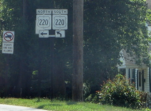
 | SR 24 (Elm Street) intersects Williamson Road beyond I-581 and a Norfolk Southern Railroad line. The state route ends one block west at SR 116 (Jefferson Street). Williamson Road becomes a part of U.S. 220 Business, U.S. 221 and SR 116 a short distance to the north at Franklin Road. 07/24/04 |
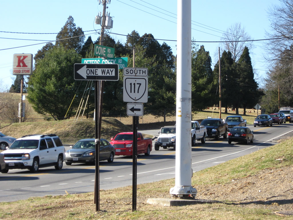
 | Heading north from Cove Road (SR 780) and Medley along SR 117 (Peters Creek Road) toward Interstate 581. 12/30/08 |
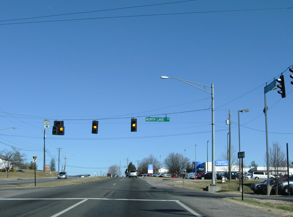 | North Lake Road meanders through a residential area between SR 117 (Peters Creek Road) and Green Ridge Road (SR 629). 12/30/08 |
 | Northside High School Rd (SR 1402) leads north from SR 117 (Peters Creek Road) outside the cloverleaf interchange with I-581/U.S. 220. 12/30/08 |
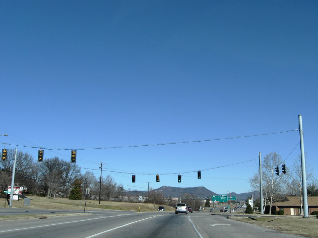
 | Departing SR 117 next is the southbound on-ramp to I-581/U.S. 220 to Downtown Roanoke. 12/30/08 |
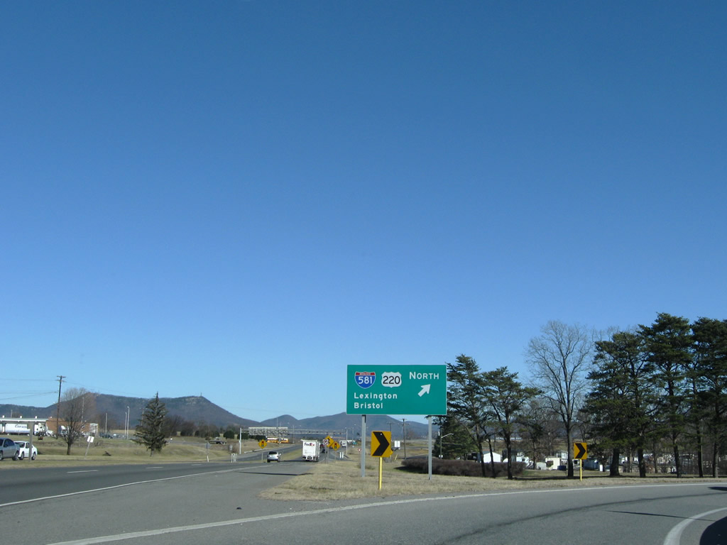
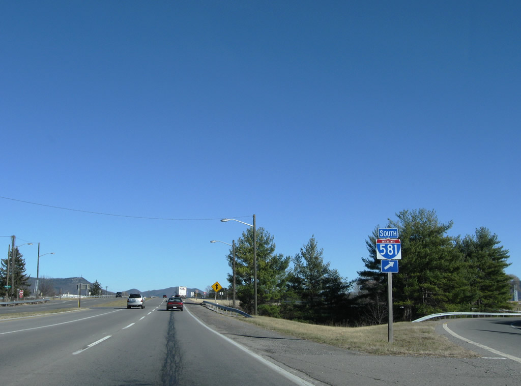 | Interstate 581 follows U.S. 220 southward to SR 24 (Elm Avenue). 12/30/08 |
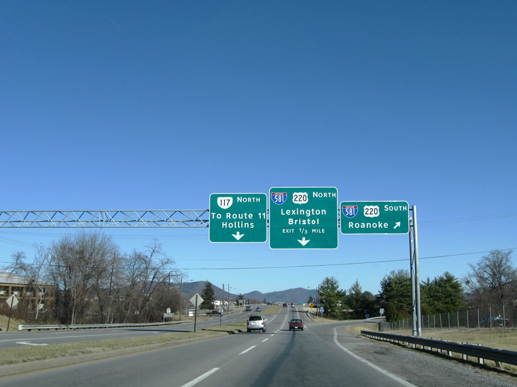
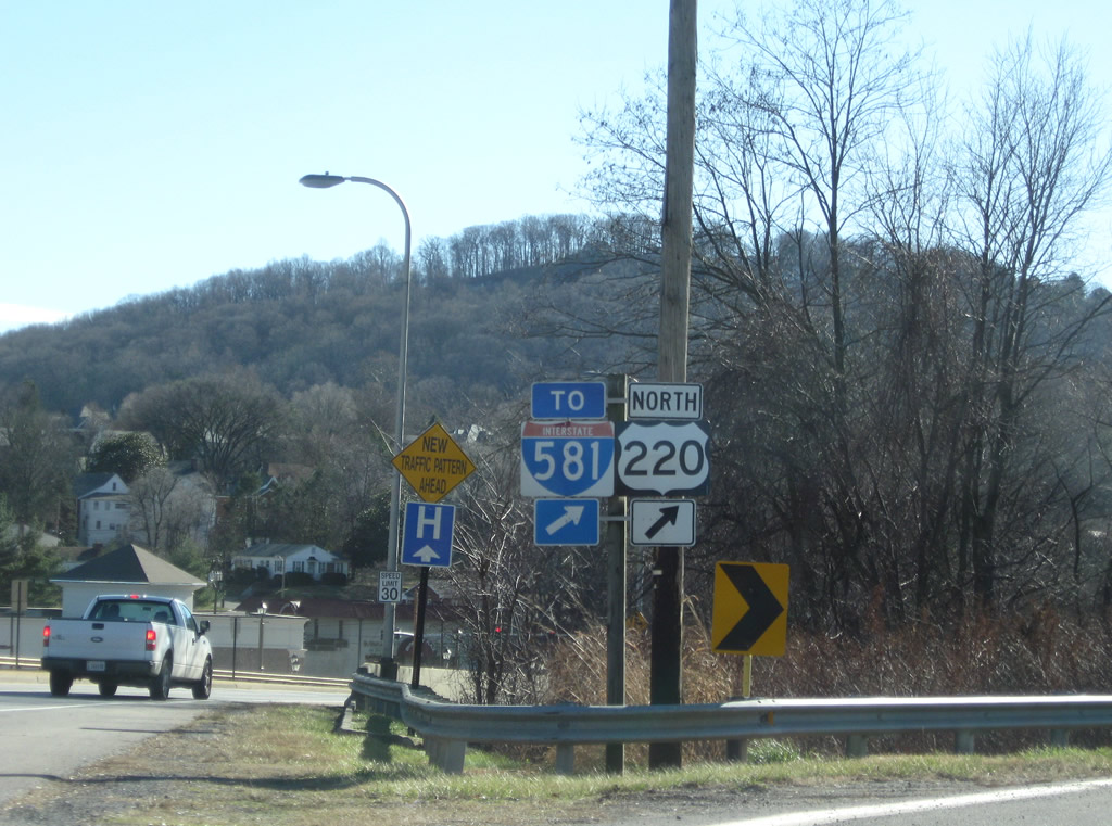
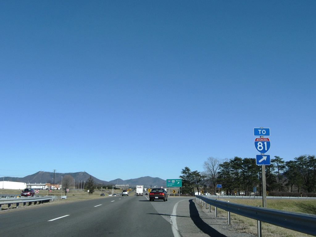 | Interstate 581/U.S. 220 continue 1.1 miles north from SR 117 to I-81. 12/30/08 |
 | Interstate 81 leads southwest from Roanoke and Salem to Wytheville and Bristol and northeast to Lexington and Staunton. 12/30/08 |
 | A cloverleaf interchange joins SR 117 (Peters Creek Road) with I-581/U.S. 220 near Kingston and Roanoke-Blacksburg Regional Airport (ROA). 12/30/08 |
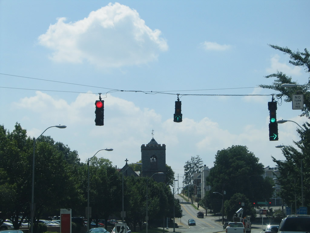
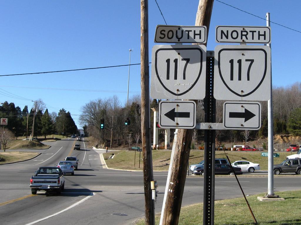
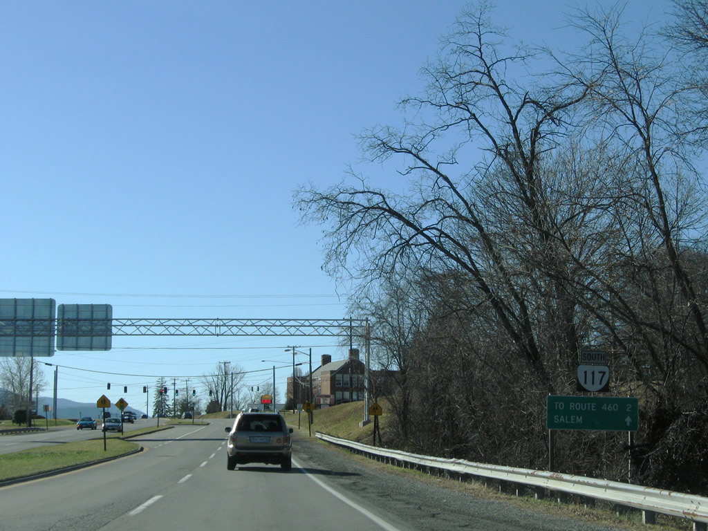 | Distance sign and reassurance shield posted for SR 117 after Interstate 581. SR 117 arcs nearly eight miles between U.S. 11 (Williamson Road) at Hollins and U.S. 11 (Brandon Avenue) east of Salem. 12/30/08 |
| Brandon Avenue |
 | Westbound Brandon Avenue merges with U.S. 221 south at Main Street. U.S. 221 follows Main Street north to Elm Avenue and Downtown Roanoke and Brandon Avenue west briefly onto Brambleton Avenue. 07/24/04 |
| Colonial Avenue |
 | Colonial Avenue intersects Brandon Avenue adjacent to the Roanoke River. Brandon Avenue curves westward to U.S. 221 (Main Street) and east to U.S. 220 Business (Franklin Road) at McClanahan Street. The span wire traffic lights pictured here were eventually replaced with mast-arm assemblies. 07/24/04 |
  | Colonial Avenue west at Wonju Street south. Wonju Street provides access to U.S. 220 north to Downtown Roanoke while a direct ramp leads south from Colonial Avenue to Rocky Mount. These signals were replaced with mast-arm assemblies. 07/24/04 |
| Cove Road |
 | Cove Road (SR 780 / former SR 116) intersects SR 117 (Peters Creek Road) opposite Green Ridge Road at Medley on the Roanoke city line. SR 116 previously followed Cove Road north from SR 101 (Hershberger Road). 12/30/08 |
 | SR 117 (Peters Creek Road) travels northeast to Interstate 581/U.S. 220 and Hollins and southwest to U.S. 460 (Melrose Avenue) near Salem. 12/30/08 |
| Williamson Road |
 | Williamson Road becomes a part of U.S. 220 Business, U.S. 221 and SR 116 at Franklin Road east of Downtown Roanoke. Franklin Road carries U.S. 220 Business north from the U.S. 220 freeway south end to Williamson Road. 07/24/04 |
| Wonju Street |
 | Wonju Street south at the loop ramp for U.S. 220 north to Interstate 581 and Downtown Roanoke. 12/30/08 |
Photo Credits:
07/24/04, 07/16/05, 12/30/08 by AARoads
Connect with:
Interstate 81
Interstate 581
U.S. 11
U.S. 220
U.S. 221
U.S. 460
State Route 101 - Hershberger Road
State Route 116
Page Updated 04-12-2010.