|
| Heading south from U.S. 183 approaches the slip ramp for the west side frontage road at Steck Avenue. 09/27/06 |
|
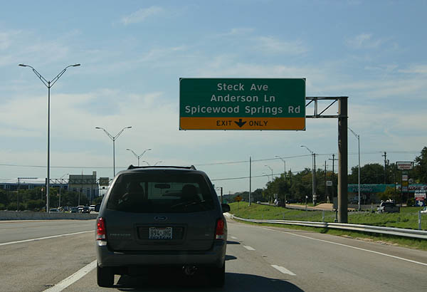
| A lane drop occurs at the off-ramp for Steck Avenue. The west side frontage road continues south to Spicewood Springs Road west and Anderson Lane east. 09/27/06 |
|
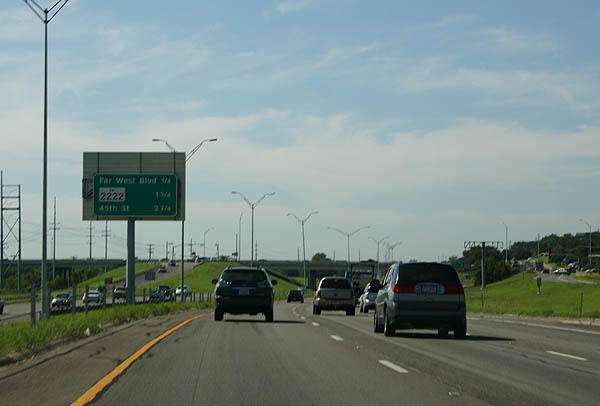
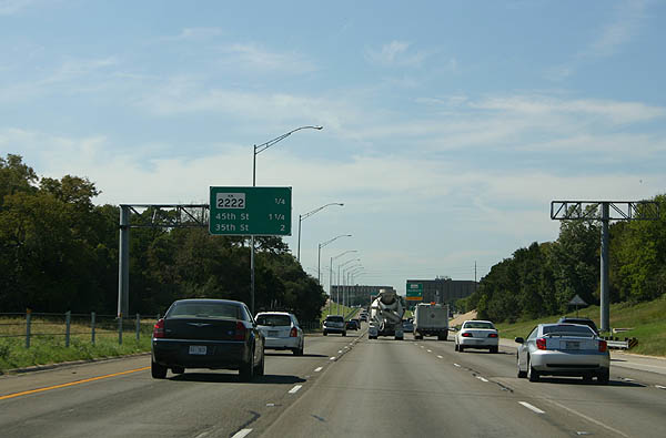
| Interchange sequence sign for Far West Boulevard, RM 2222 and 45th Street. 09/27/06 |
|
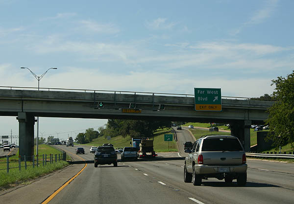
| The off-ramp to Far West Boulevard departs at the Anderson Lane overpass. South of this exit is where the original 1975 freeway begins. 09/27/06 |
|
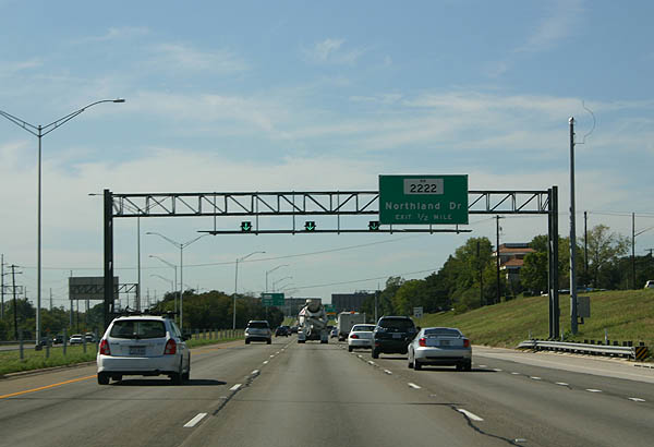
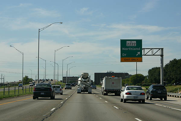
| One half mile ahead of RM 2222 (Northland Drive) on Loop 1 (MoPac Expressway) south. 09/27/06 |
|
| A parclo interchange links Loop 1 with Northland Drive. The succeeding exits beyond RM 2222 serve northern reaches of the Austin numbered street grid. 09/27/06 |
|
| RM (UR) 2222 begins at RM (UR) 620 and travels southeast to Spur 69 (the hidden extension of the US 290 freeway west of IH 35). 09/27/06 |
|
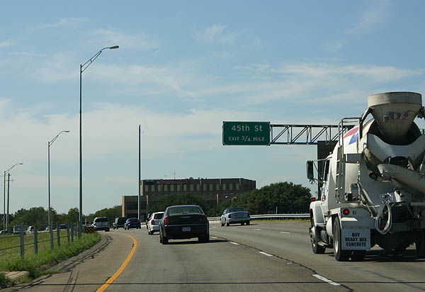
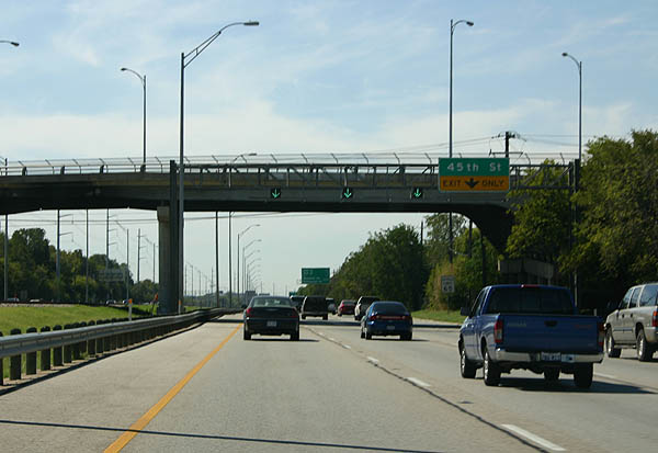
| Advance signage for 45th Street. The name sake of MoPac Boulevard, the Missouri Pacific Railroad tracks run in the median of Loop 1 at this point. 09/27/06 |
|
| The auxiliary lane south from RM 2222 drops at the off-ramp for 45th Street. 09/27/06 |
|
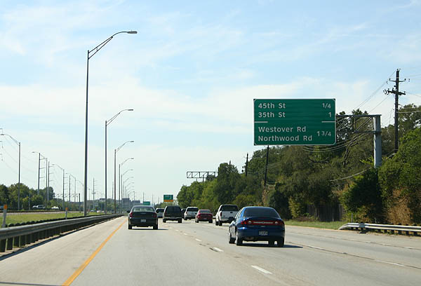
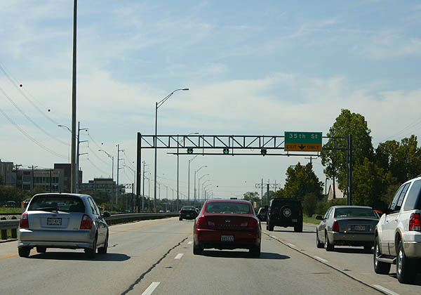
| Interchange sequence sign posted a quarter mile ahead of the split diamond interchange with 45th Street. 09/27/06 |
|
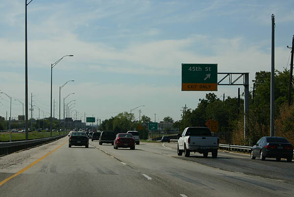
| The exit for 45th Street departs SL 1 south for 45th Street east and Highland Terrace north. 45th Street heads east toward the Texas School for the Blind and Visually Impaired and the Texas Department of State Health Services campus. 09/27/06 |
|
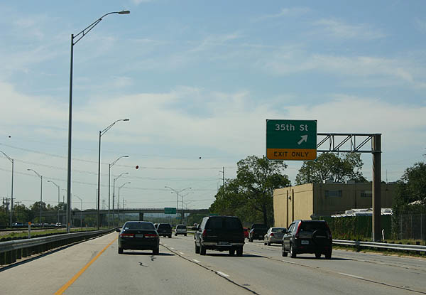
| The succeeding exit along Loop 1 south joins the MoPac Expressway with 35th Street. 09/27/06 |
|
| The travel lanes were squeezed into the railroad right-of-way as Loop 1 passes Camp Mabry. 09/27/06 |
|
| The 35th Street off-ramp departs Loop 1 south for Camp Mabry (Texas National Guard) and the Bryker Woods neighborhood. 09/27/06 |
|
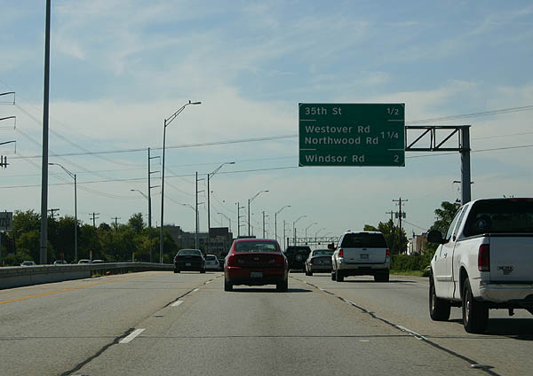
| Loop 1 advances a half mile south from the three quarter cloverleaf interchange at 35th Street to Westover and Northwood Roads. 09/27/06 |
|
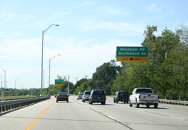
| The right lane exits to Westover Road west and Northwood Road east. Loop 1 is built without frontage roads, a rarity in Texas and one reducing the commercial clutter along the freeway. 09/27/06 |
|
| Entering the diamond interchange with Westover and Northwood Roads on SL 1 south. Westover Road extends west into the Tarrytown neighborhood. 09/27/06 |
|
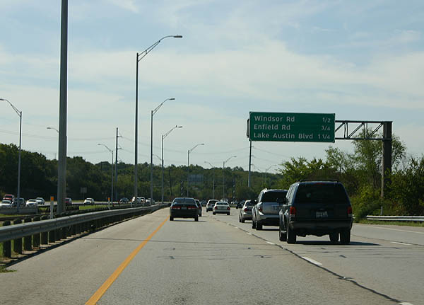
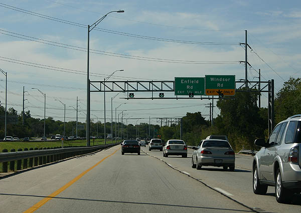
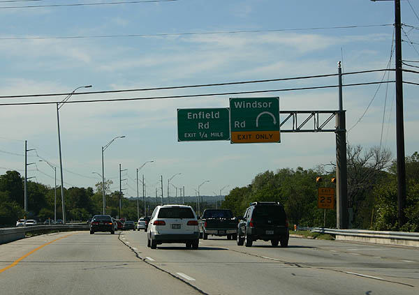
| The next three exits serve Tarrytown via Windsor Road, Enfield Road and Lake Austin Boulevard. 09/27/06 |
|
| Progressing south along the MoPac Expressway toward the parclo interchange with Windsor Road. 09/27/06 |
|
| A loop ramp connects SL 1 south with Windsor Road. Windsor Road east becomes West 24th Street leading to the University of Texas at Austin campus. 09/27/06 |
|
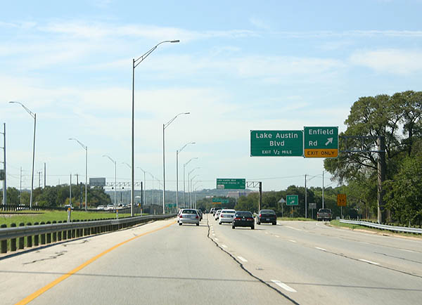
| The half diamond interchange with Enfield Road marks the end of the 1975 freeway construction and beginning of the 1980-81 freeway. 09/27/06 |
|
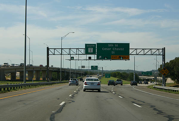
| Interchange sequence sign outlining the approaching ramps for Atlanta Street south to Lake Austin Boulevard and West 5th and Cesar Chavez Streets east. 09/27/06 |
|
| Loop 1 passes through Zilker Metropolitan Park, centered around the Colorado River and Town Lake, ahead of Lake Austin Boulevard. 09/27/06 |
|
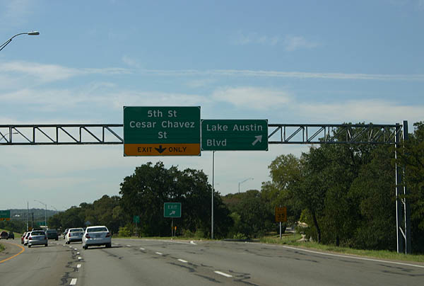
| A semi directional T interchange joins the MoPac Expressway with West 5th and Cesar Chavez Streets from areas west of Downtown Austin. 09/27/06 |
|
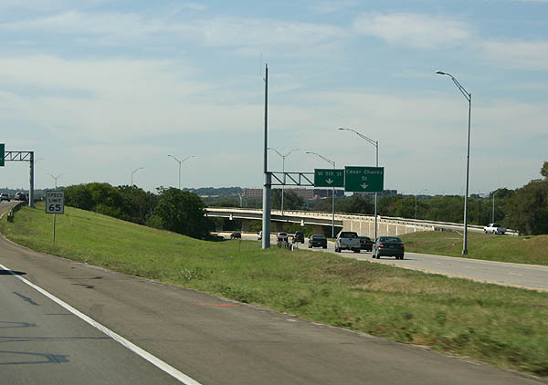
| Cesar Chavez Street (1st Street) runs along the north banks of the Colorado River east to IH 35 while 5th Street leads into the Market District of Downtown Austin. 09/27/06 |
|
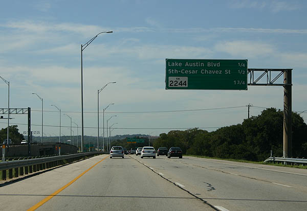
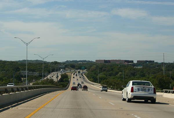
| Loop 1 crosses Town Lake on the one mile approach to RM (UR) 2244 (Bee Caves Road). 09/27/06 |
|
| Ramps from Atlanta Street south and Cesar Chavez Street west converge with Loop 1 south across the Colorado River. The freeway advances south of Town Lake through Zilker Park. 09/27/06 |
|
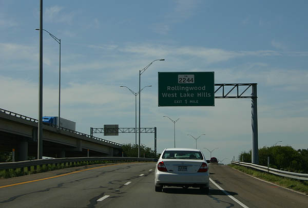
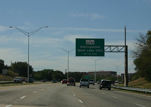
| RM (UR) 2244 connects Loop 1 and SH 71 through the cities of Rollingwood and West Lake Hills. 09/27/06 |
|
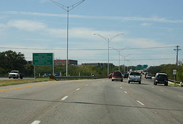
| Loop 1 enters the Edwards Aquifer recharge zone, an environmentally sensitive area. The Edwards Aquifer serves San Antonio and is the only water source for the city. 09/27/06 |
|
| RM 2244 begins at the split diamond interchange with SL 1 and winds west 11.26 miles to SH 71 at the city of Bee Cave. 09/27/06 |
|
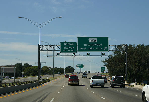
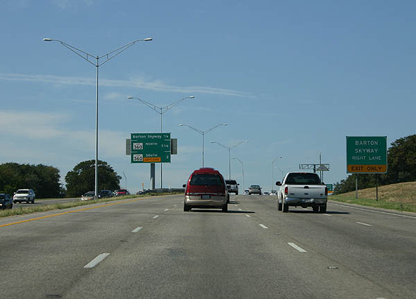
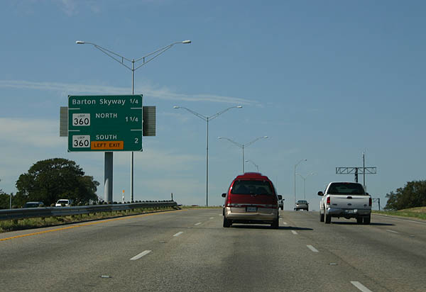
| A lane drop occurs at the slip ramp for Barton Skyway, located just beyond the RM 2244 underpass. 09/27/06 |
|
| Back to back ramps follow Barton Skyway for Loop 360 (Capital of Texas Highway). 09/27/06 |
|
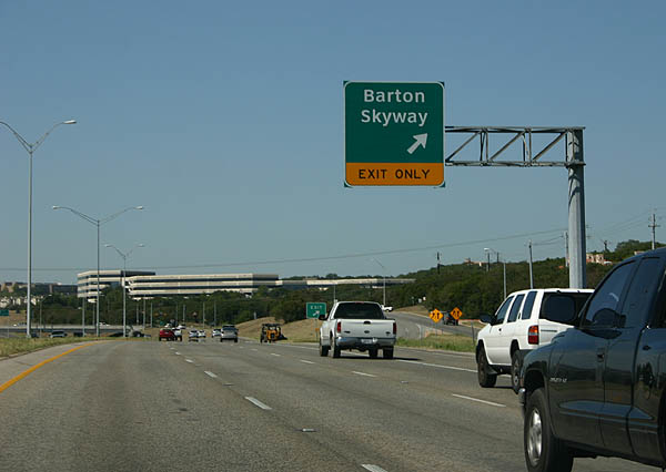
| Barton Skyway stems south from the MoPac Expressway to an array of office buildings and town homes. 09/27/06 |
|
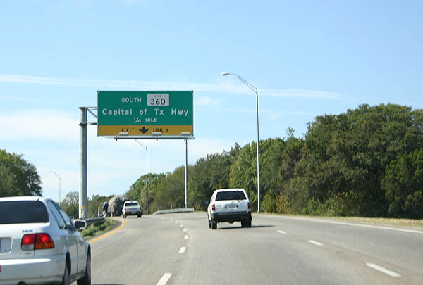
| Loop 1 (MoPac Expressway) navigates through a sweeping S-curve by Barton Creek Square mall through the upcoming exchange with Loop 360 (Capital of Texas Highway). 09/27/06 |
|
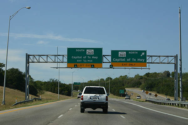
| A slip ramp joins the west side frontage road for Barton Creek Square and SL 360 (Capital of Texas Highway) north to West Lake Hills. 09/27/06 |
|
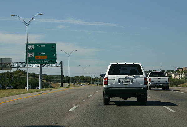
| A wide forested median separates the north and south roadways of the MoPac. A left side ramp departs next for SL 360 south. 09/27/06 |
|
| Loop 360 was designated in 1962 and constructed between 1970 and 1982. 09/27/06 |
|
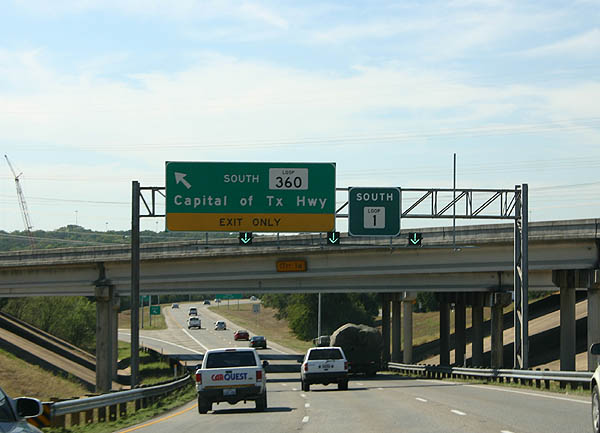
| Loop 1 curves west from SL 360 to cross Barton Creek ahead of a trio of ramps for Southwest Parkway, U.S. 290 and SH 71. 09/27/06 |
|
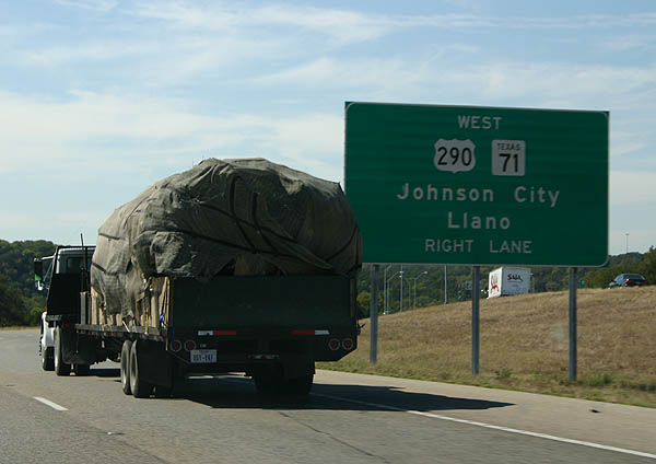
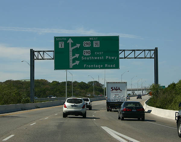
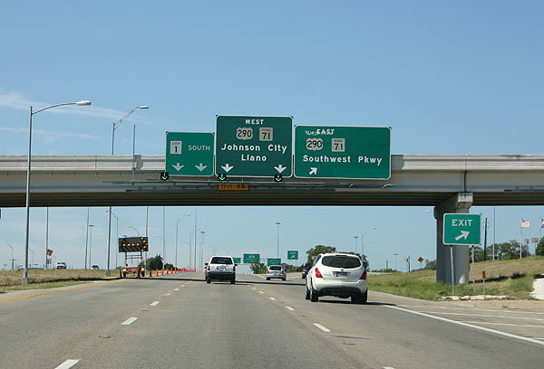
| The ensuing ramp joins the north side frontage road as it leads west from a turnaround by a hotel complex. The succeeding ramp links with the frontage road slightly south for Southwest Parkway and a Breezewood connection to the U.S. 290 & SH 71 freeway. 09/27/06 |
|
| U.S. 290 & SH 71 travel east across south Austin to Austin Bergstrom International Airport (AUS). The stack interchange joining the freeway with Loop 1 is incomplete. 09/27/06 |
Page Updated 11-09-2006.