|
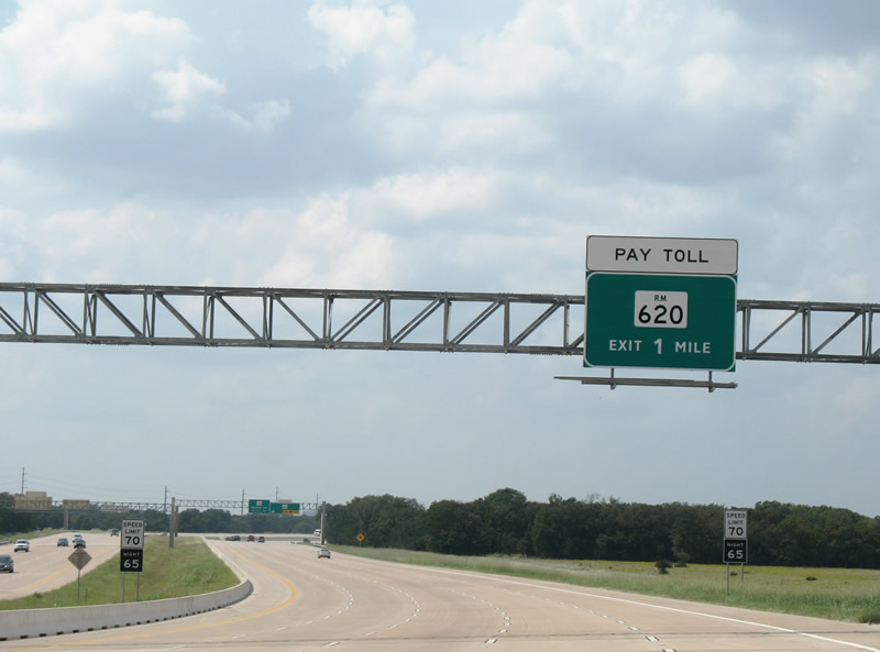
| One mile east of the RM 620 half diamond interchange on SH 45 N west. SH 45 overtakes RM 620 from the forthcoming exit west to U.S. 183. 09/28/07 |
|
| SH 45 N continues west beyond the off-ramp for RM 620 with four lanes. RM 620 arcs 4.38 miles northeast to end at IH 35 in the city of Round Rock. 09/28/07 |
|
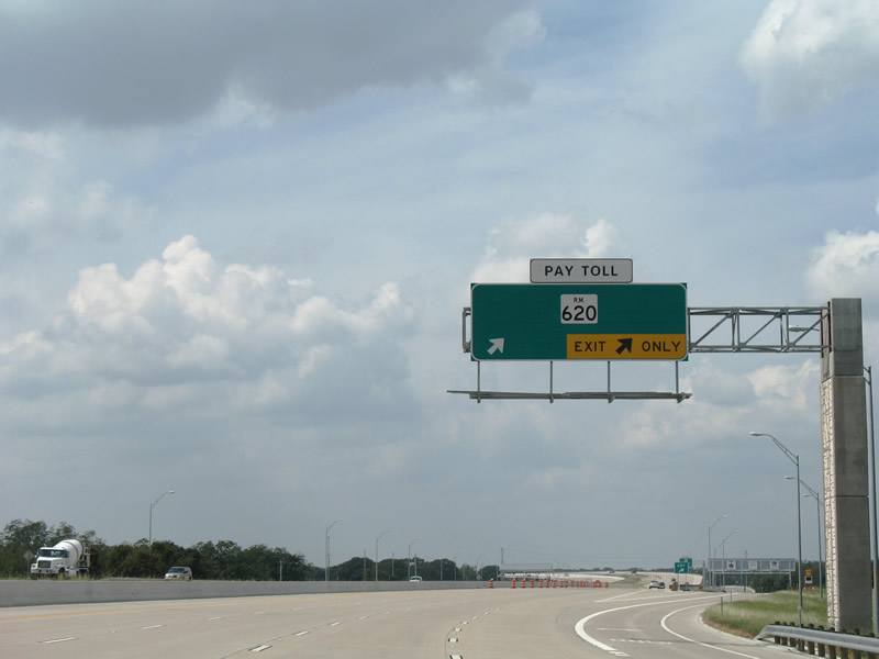
| Two lanes leave SH 45 N west for RM 620. The sprawling Brushy Creek neighborhoods lie north of RM 620 along Great Oaks Drive west. 09/28/07 |
|
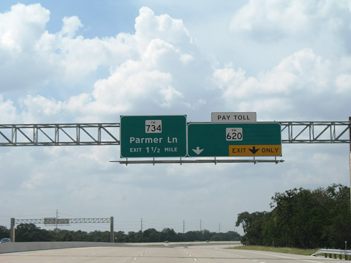
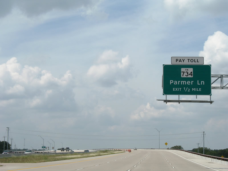
| FM 734 (Parmer Lane) crosses paths with SH 45 N beyond the succeeding off-ramp. Parmer Lane carries all of FM 734 from U.S. 290 near Manor to FM 1431 at Cedar Park. 09/28/07 |
|
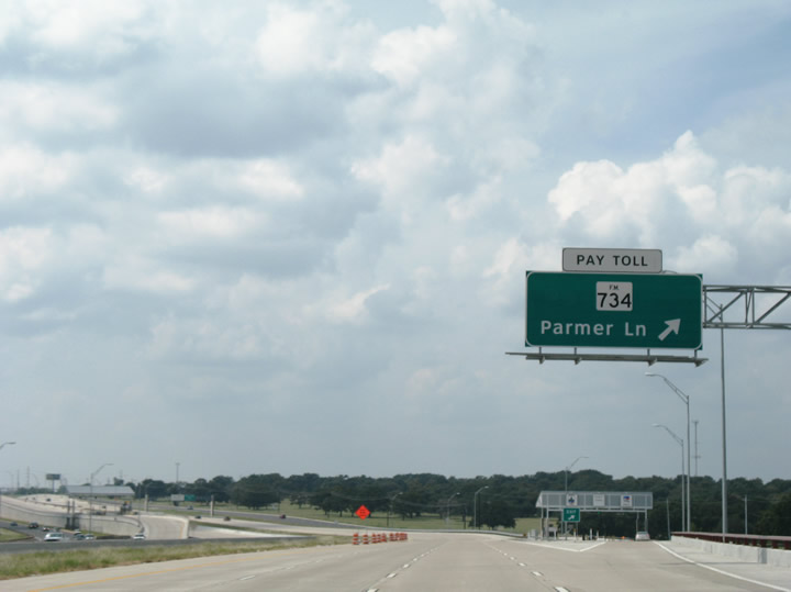
| Westbound at the FM 734 (Parmer Lane) off-ramp on SH 45 N. Parmer Lane, a multi-lane divided arterial, heads north through growing residential areas of north Austin and Cedar Park. Southward, FM 734 serves the sprawling Millwood communities ahead of Loop 1 (MoPac Expressway). 09/28/07 |
|
| The eastbound Parmer Lane on-ramp passes over the eastbound off-ramp to RM 620 as SH 45 N curves toward the Union Pacific Railroad and FM 734 overpasses. 09/28/07 |
|
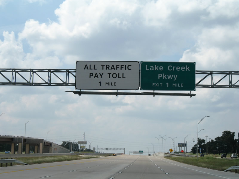
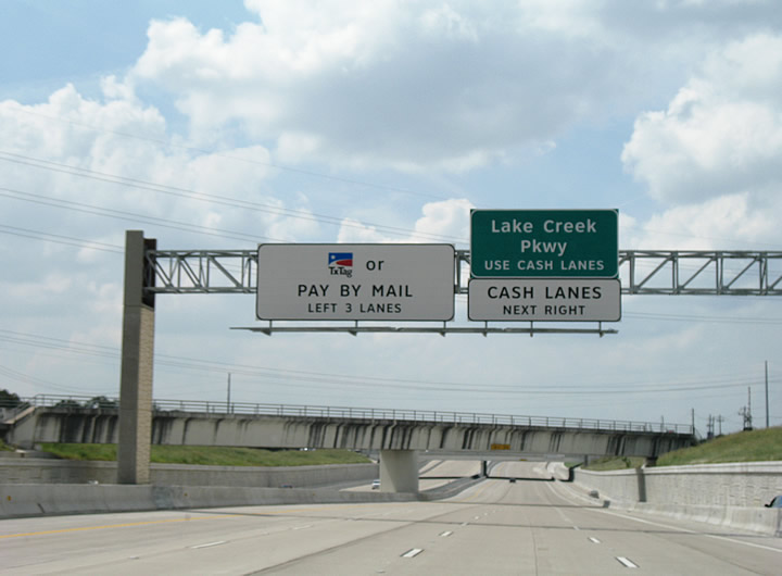
| SH 45 N advances one mile west to both the main line toll collection point and the Lake Creek Parkway off-ramp. 09/28/07 |
|
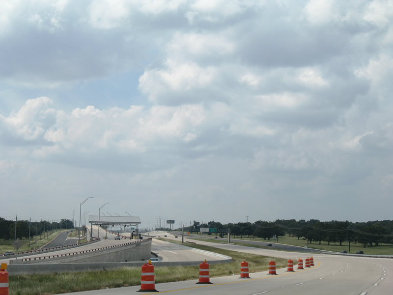
| The forthcoming toll plaza previously separated traffic into TxTag high speed lanes and toll booths for cash collection. With the switch to all electronic tolling (AET) on January 1, 2013, two of the five toll booth lanes closed, with the remaining serving traffic from FM 734 and to Lake Creek Parkway. 09/28/07 |
|
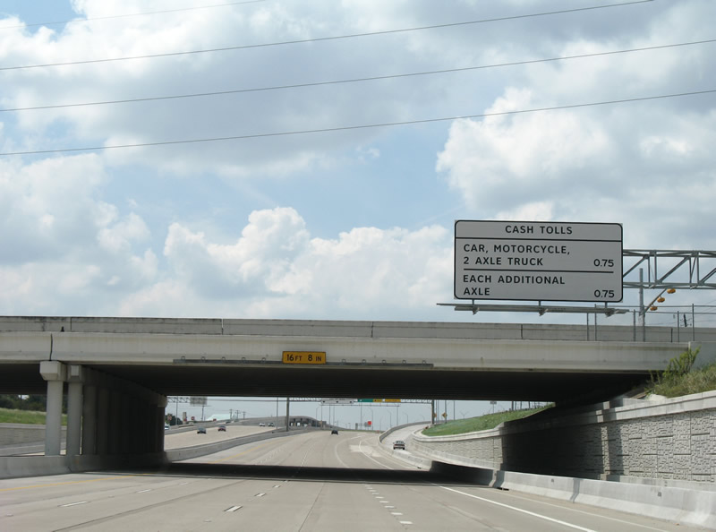
| Toll schedule sign at the FM 734 (Parmer Lane) overpass. Drivers with TxTag transponders pay a reduced rate over those paying with toll-by-plate. 09/28/07 |
|
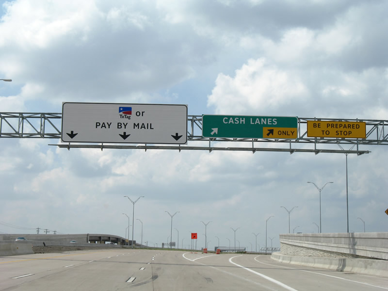
| Westbound at the partition with the former cash lanes and the Lake Creek Parkway exit. Lake Creek Parkway arcs south of SH 45 N through the Villages of Anderson Hill and north to retail and apartment complexes at Lakeline Boulevard. 09/28/07 |
|
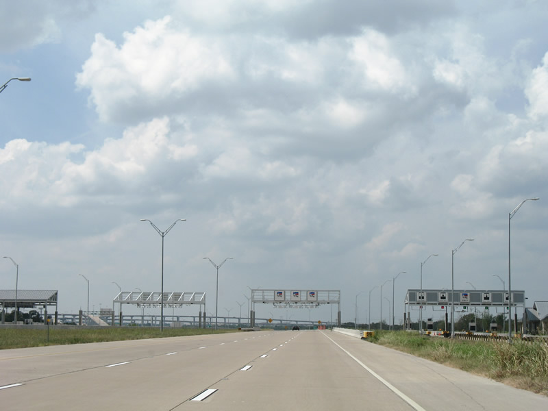
| SH 45 N maintains six overall lanes through the Lake Creek toll collection point. 09/28/07 |
|
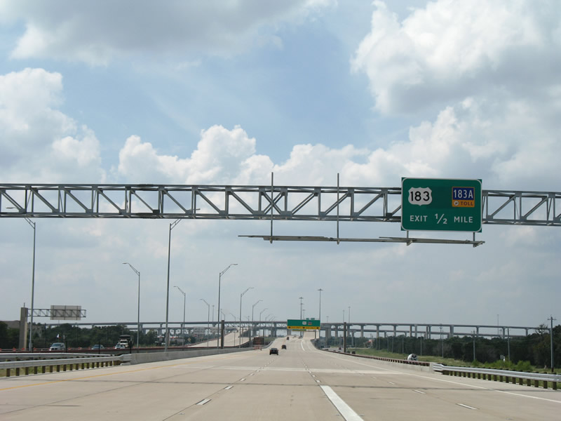
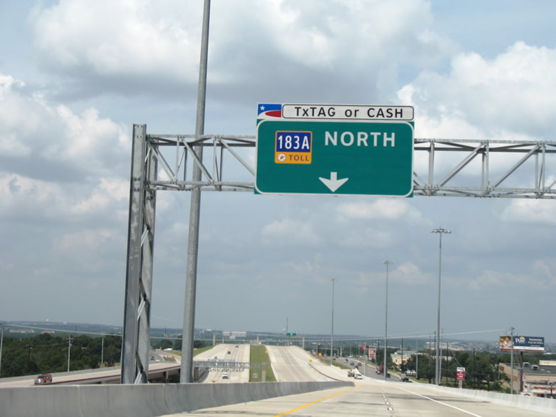
| Departing the toll plaza, SH 45 N elevates over Lake Creek Parkway just ahead of four-level interchange with U.S. 183 (Research Boulevard) south and Toll 183A north. 09/28/07 |
|
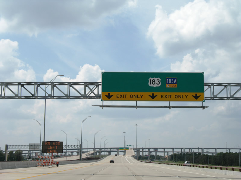
| SH 45 N ends with three lanes ascending toward U.S. 183 (Research Boulevard) and Toll 183A. A single lane continues west to RM 620, with extra pavement reserved for the future extension of SH 45 N to RM 2769 at the Travis County line. 09/28/07 |
|
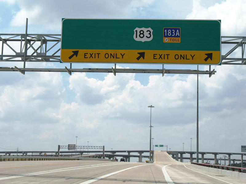
| U.S. 183 north enters the semi directional T interchange from the Research Boulevard freeway and central Austin. U.S. 183 shifts to the frontage roads of Toll 183A leading north to Bell Boulevard near Lakeline Mall and Boulevard. 09/28/07 |
|
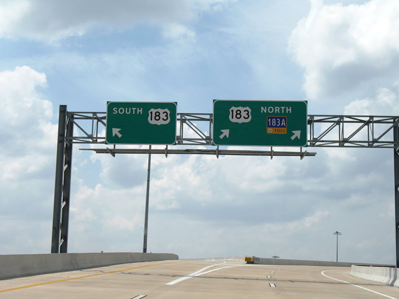
| Traffic partitions for U.S. 183 north and south and Toll 183A. Toll 183A opened in 2007 to provide a high-speed route through Cedar Park and Leander in lieu of U.S. 183. 09/28/07 |
|
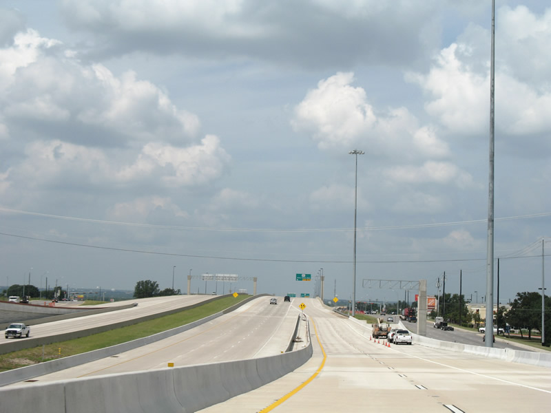
| Descending toward Toll 183A northbound from SH 45 N west. A connecting ramp had yet to open onto the adjacent frontage road to U.S. 183 north and Lakeline Mall Drive. A second ramp joins the service road ahead of Lakeline Boulevard. 09/28/07 |
|
| Toll 183A continues the Research Boulevard freeway as a six lane toll road. Pictured here is the future U.S. 183 northbound connector ramp. 09/28/07 |
Page Updated 10-29-2007.