


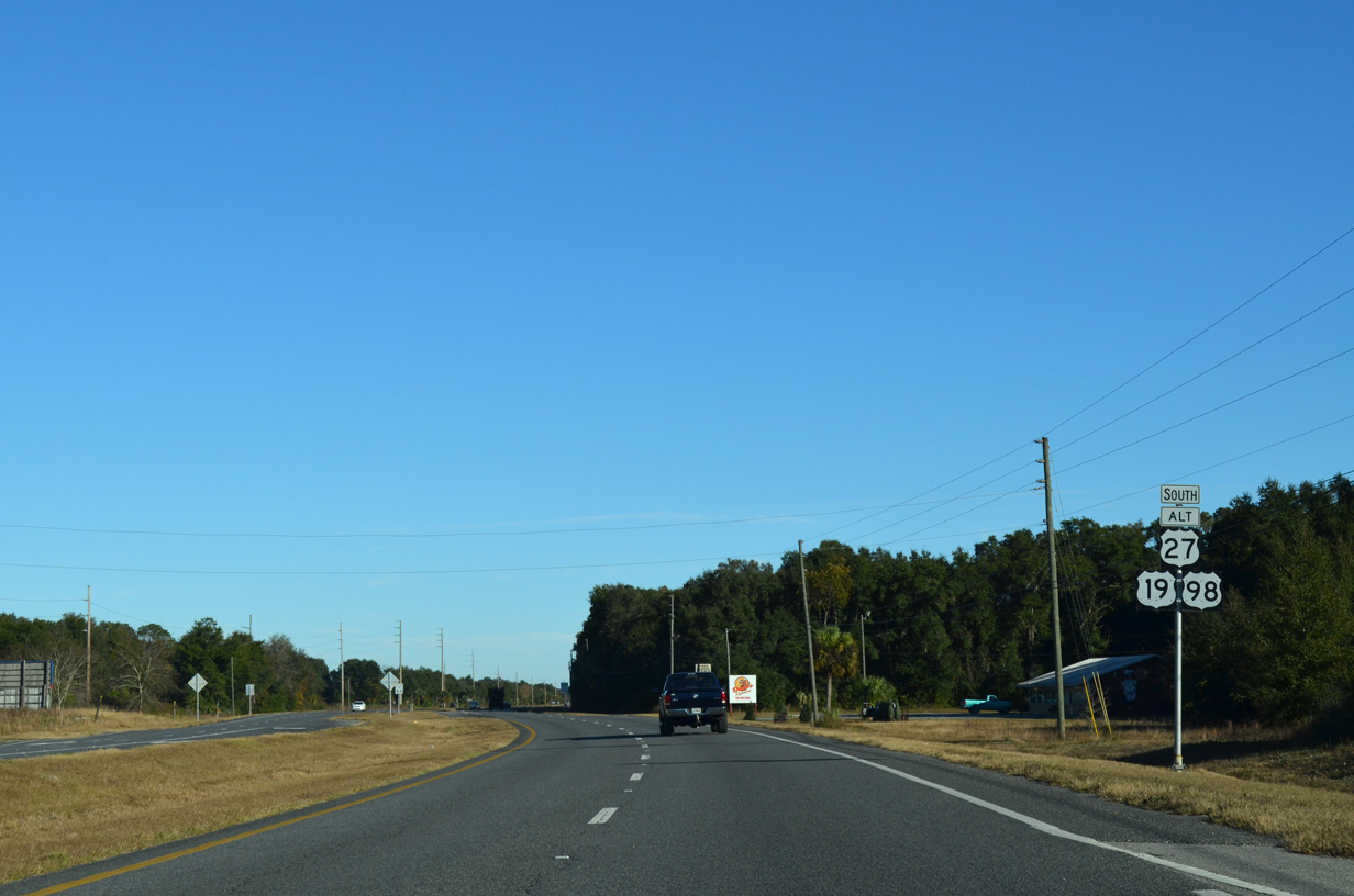
 South
South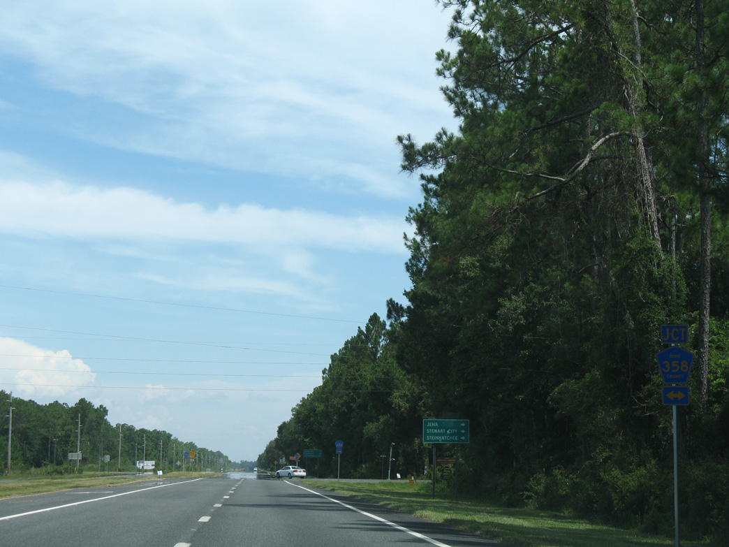
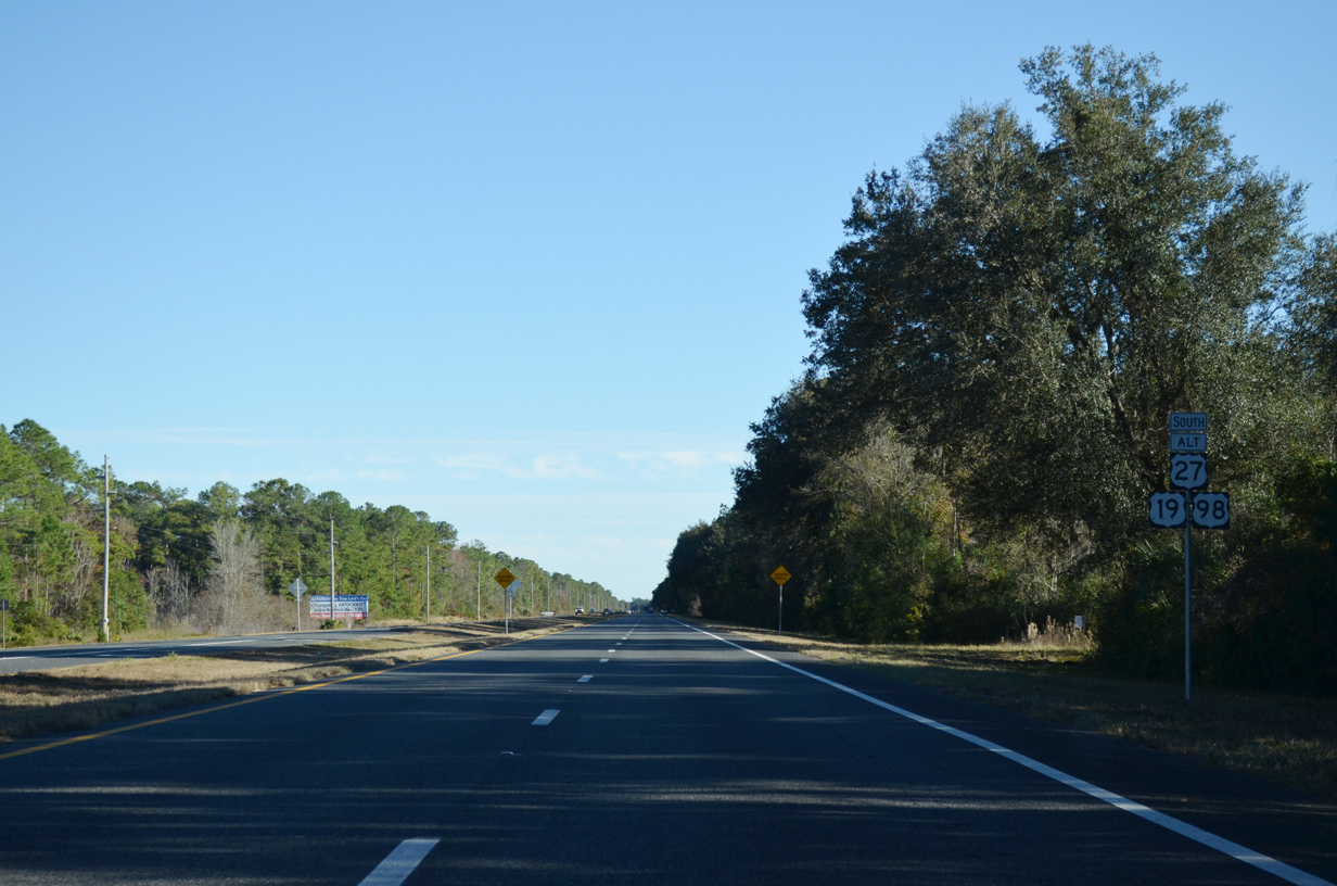
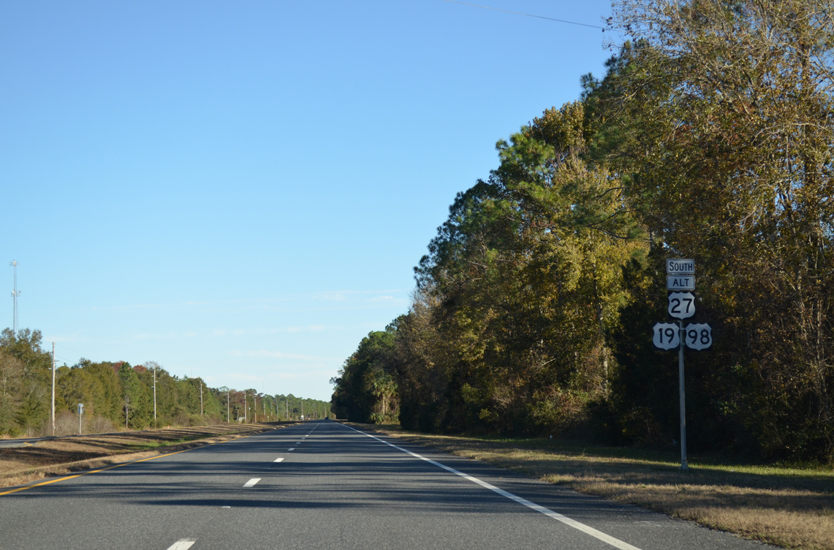
U.S. 19/98/27 ALT advance 4.6 miles south from the Steinhatchee River and Taylor County line to intersect the west branch of CR 358.
07/19/07
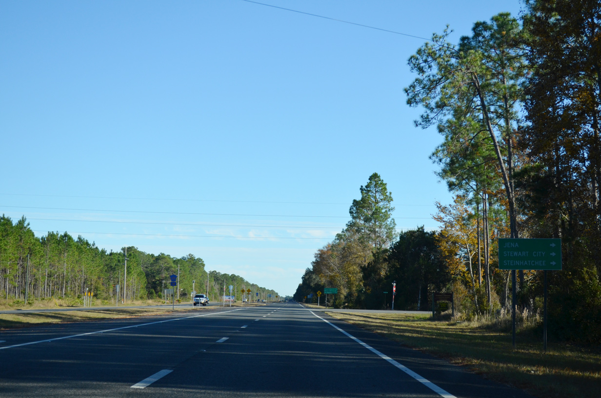
CR 358 loops 6.57 miles southwest from U.S. 19/98/27 ALT at Jonesboro to a bridge joining Jena with Steinhatchee.
11/26/14
11/26/14
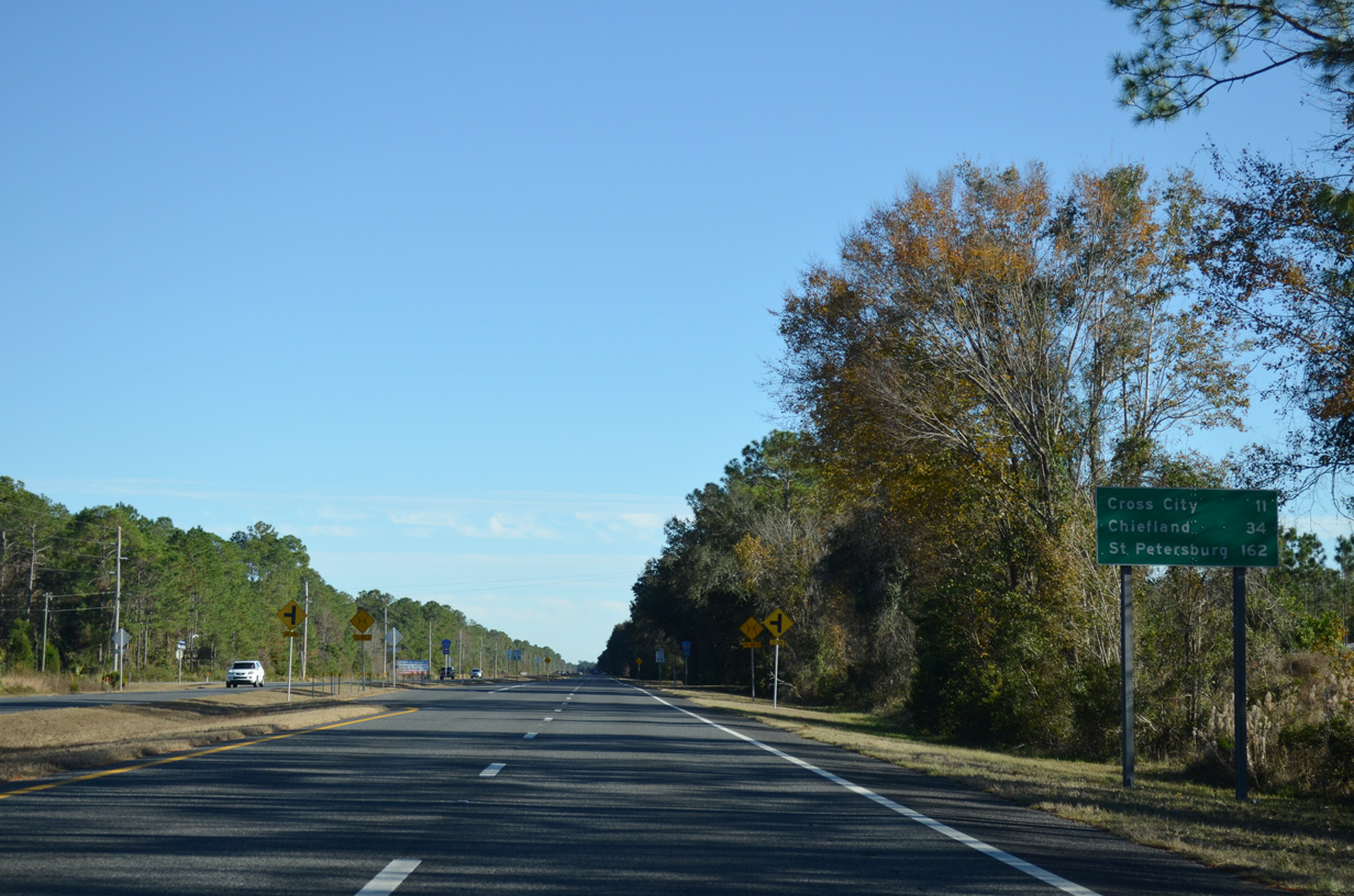
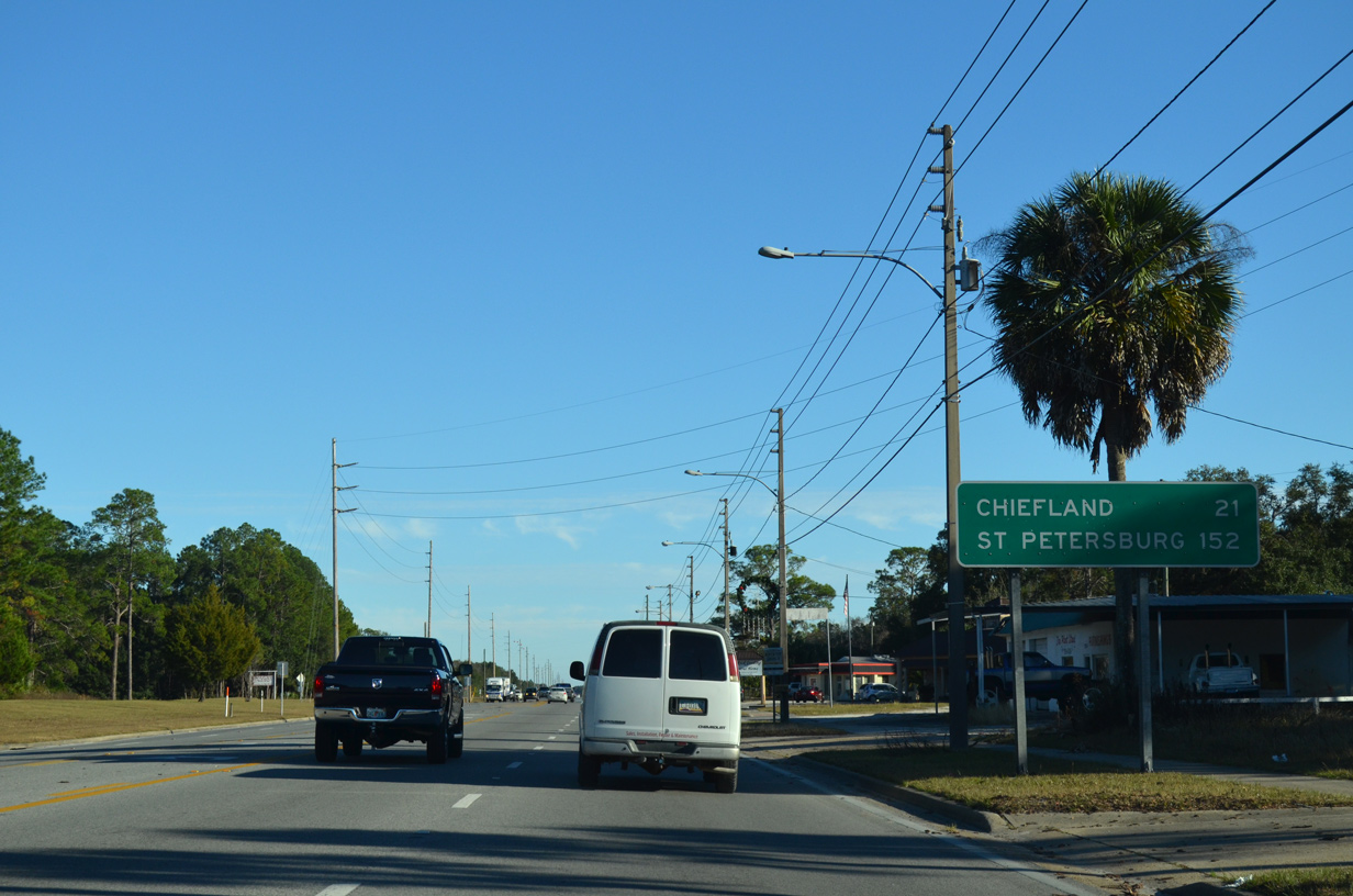
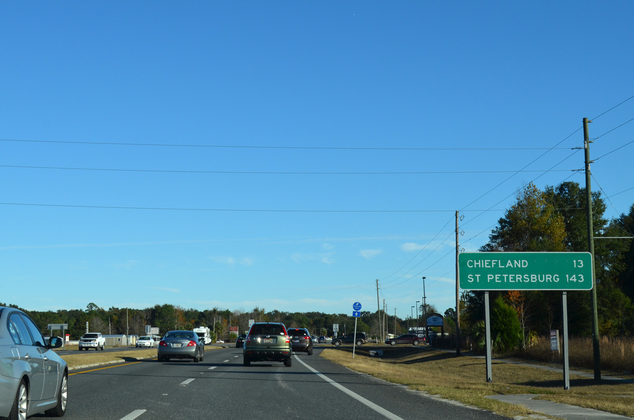
St. Petersburg is 162 miles south from Jonesboro along U.S. 19.
11/26/14
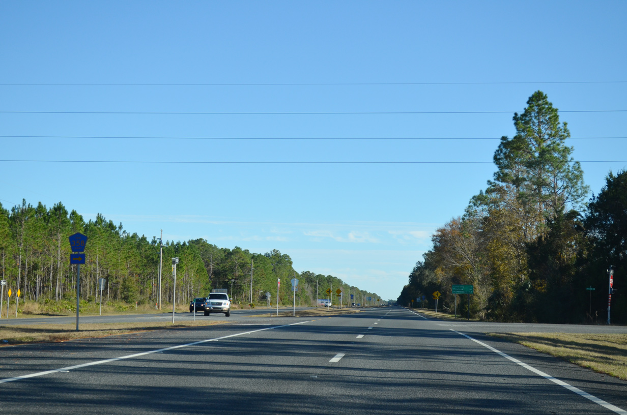
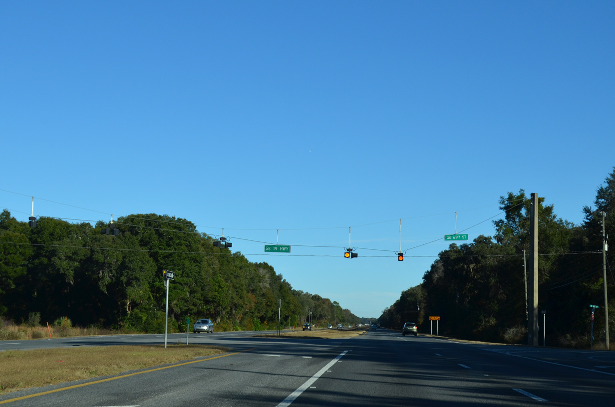
The eastern segment of CR 358 connects U.S. 19/98/27 ALT with CR 357 north to Cooks Hammock.
11/26/14
11/26/14
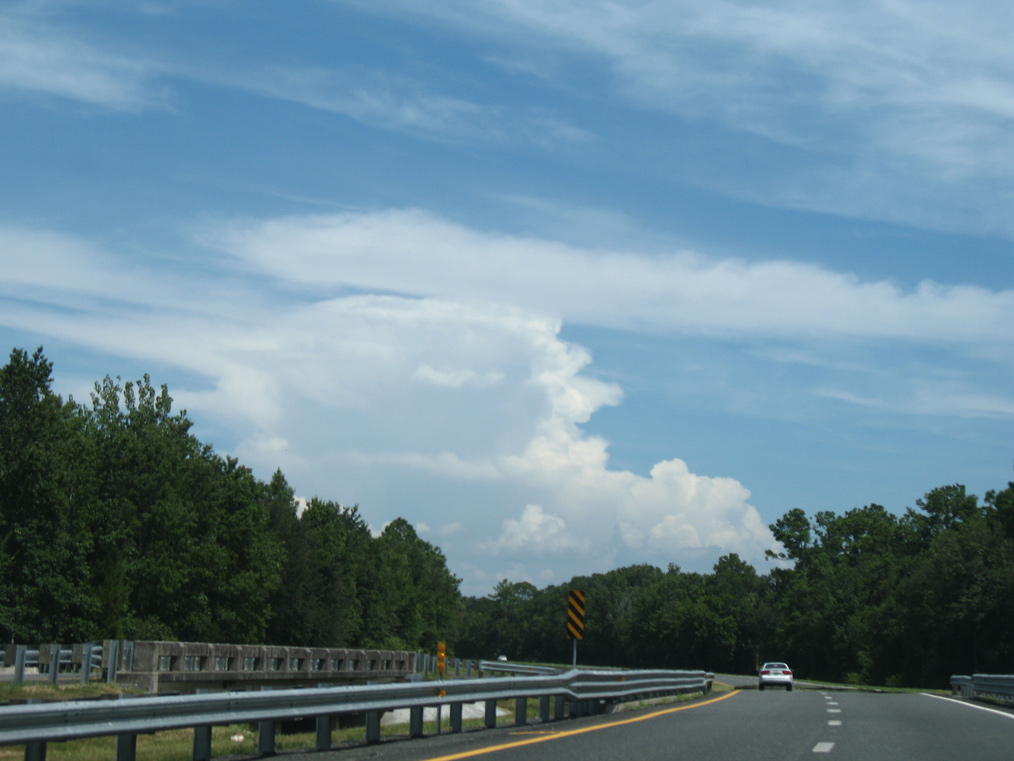
Continuing south from Jonesboro, U.S. 19/98/27 Alternate traverse Pumpkin Swamp.
07/19/07
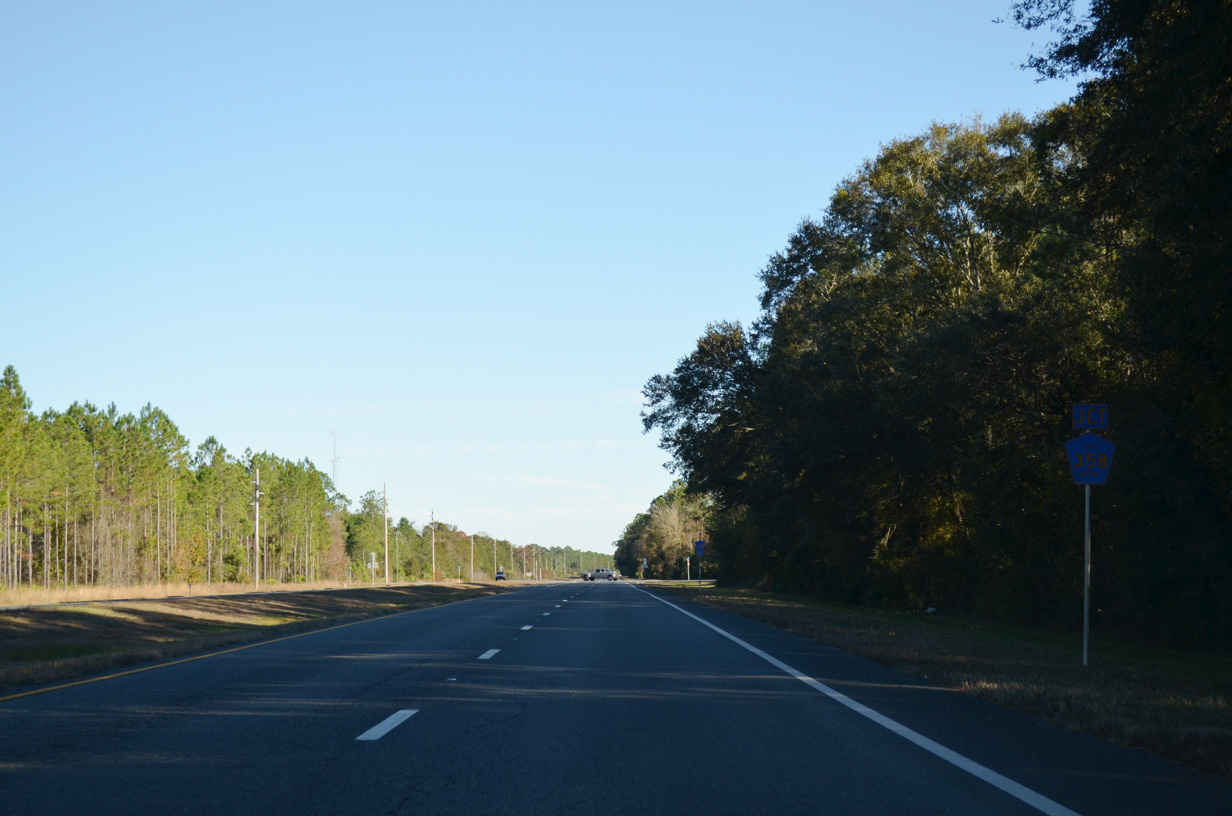
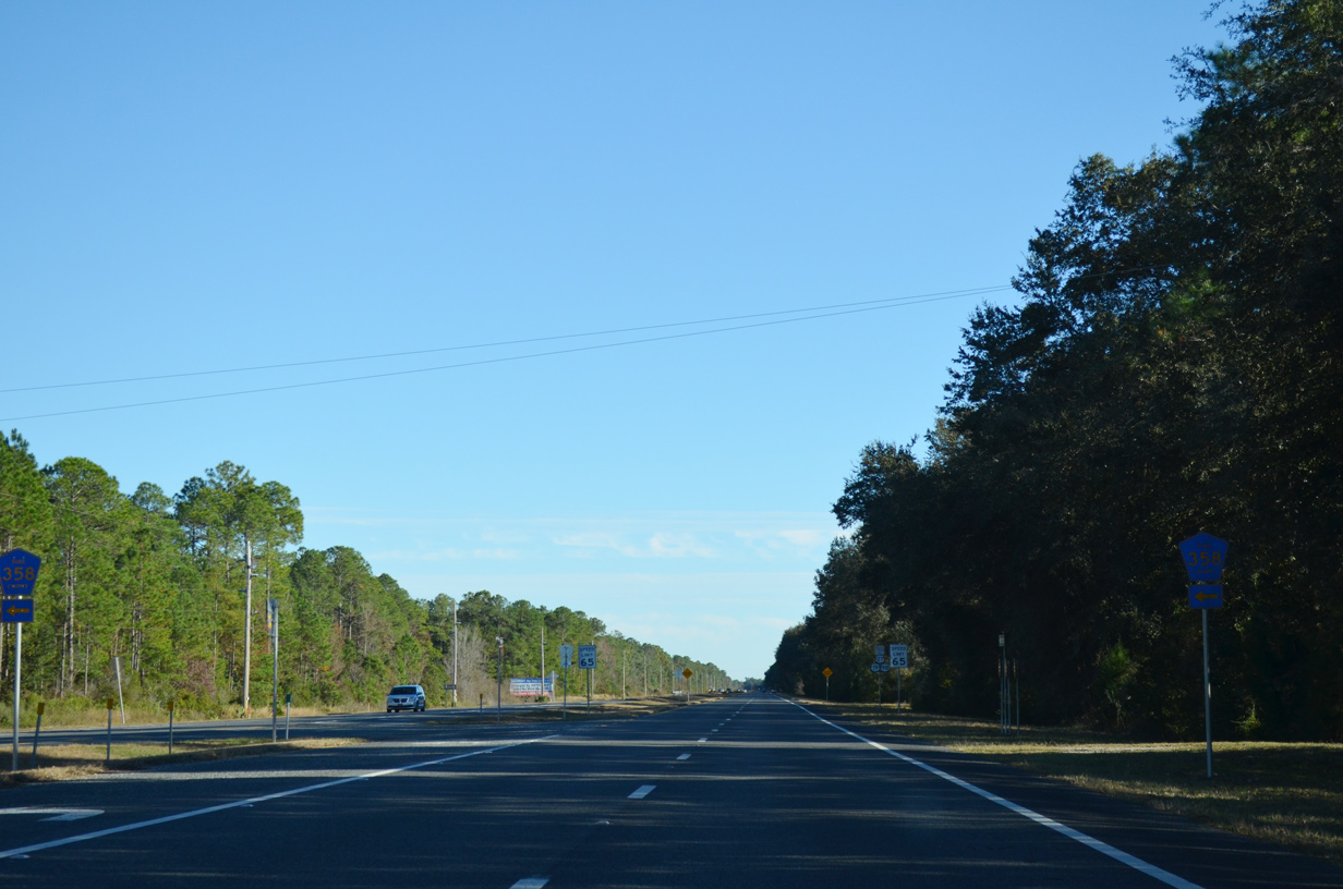
CR 358 returns to U.S. 19/98/27 ALT at SW 307th Avenue (unsigned CR 398).
11/26/14
11/26/14
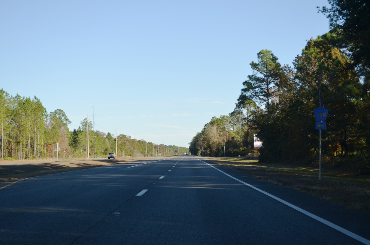
South from CR 358, U.S. 19/98/27 Alternate continues to the community of Shamrock.
11/26/14
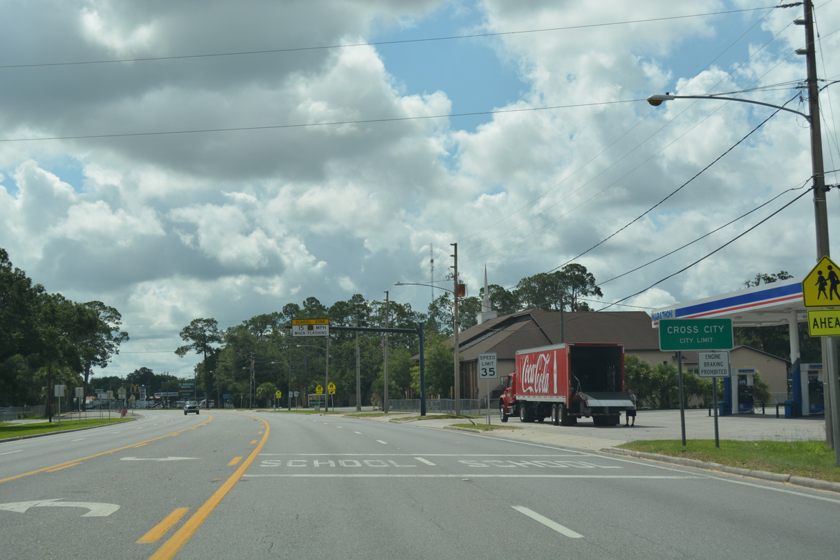
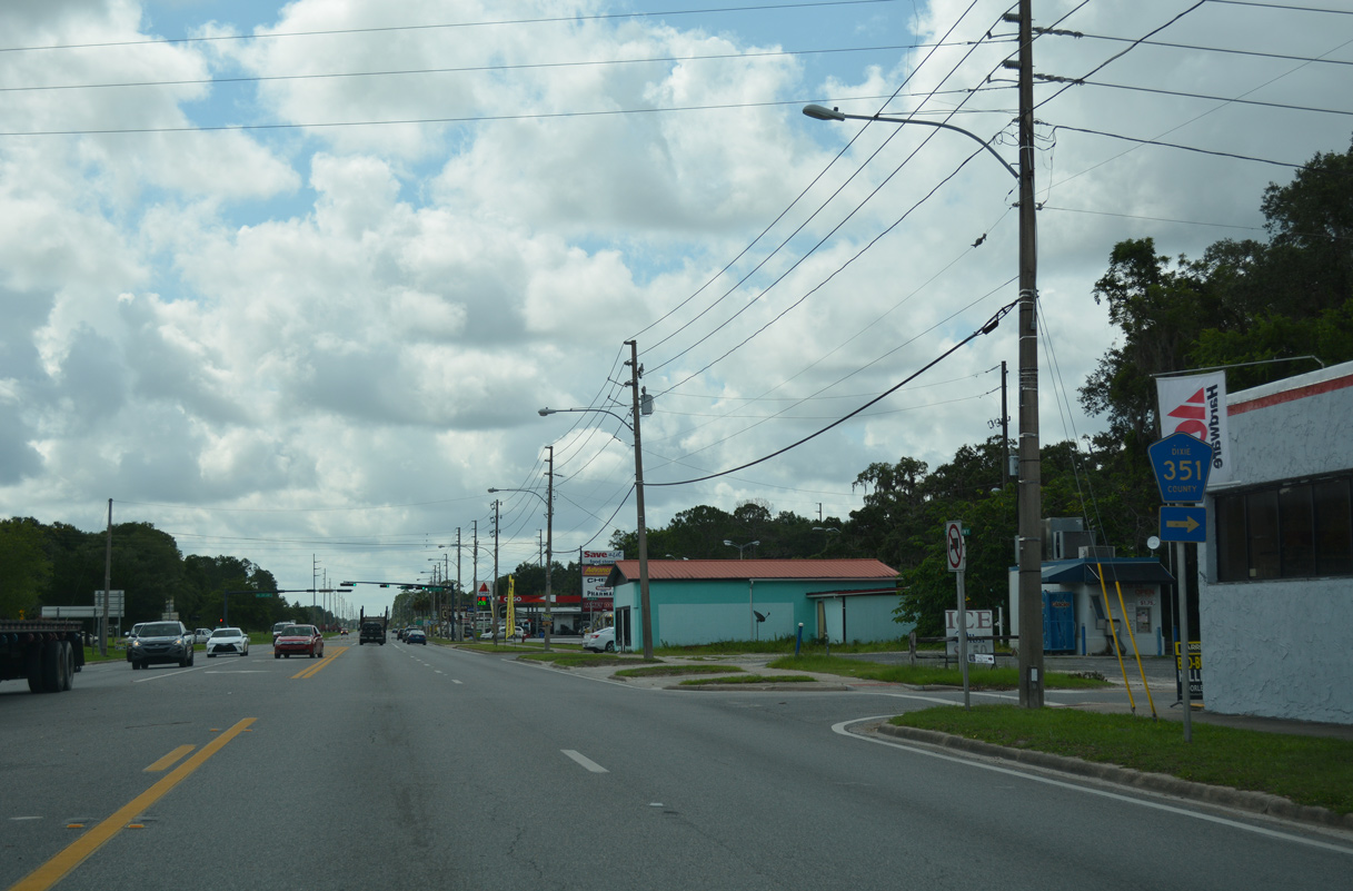
Approaching Cross City and CR 351A, U.S. 19/98/27 Alternate narrow from a four lane divided highway into a five lane boulevard.
11/26/14
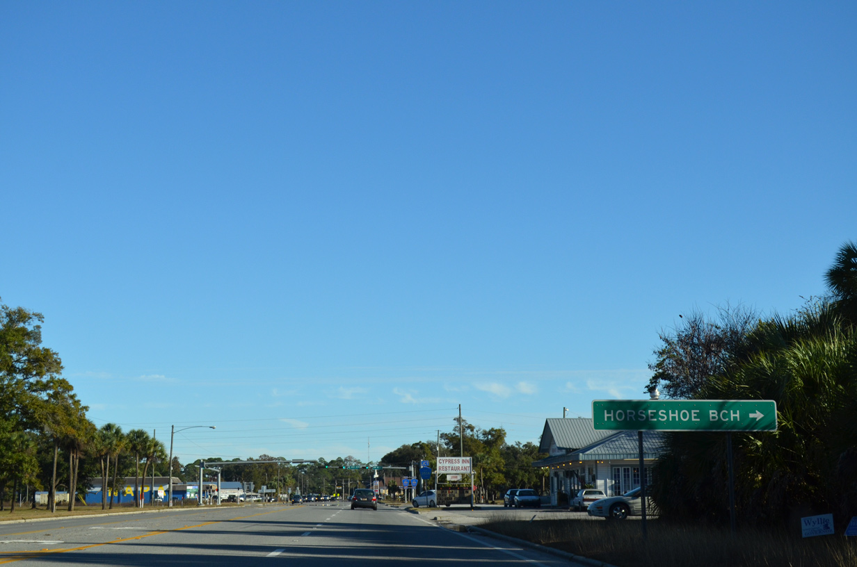
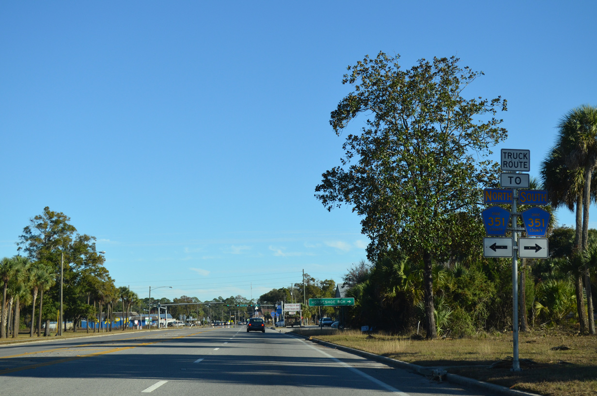
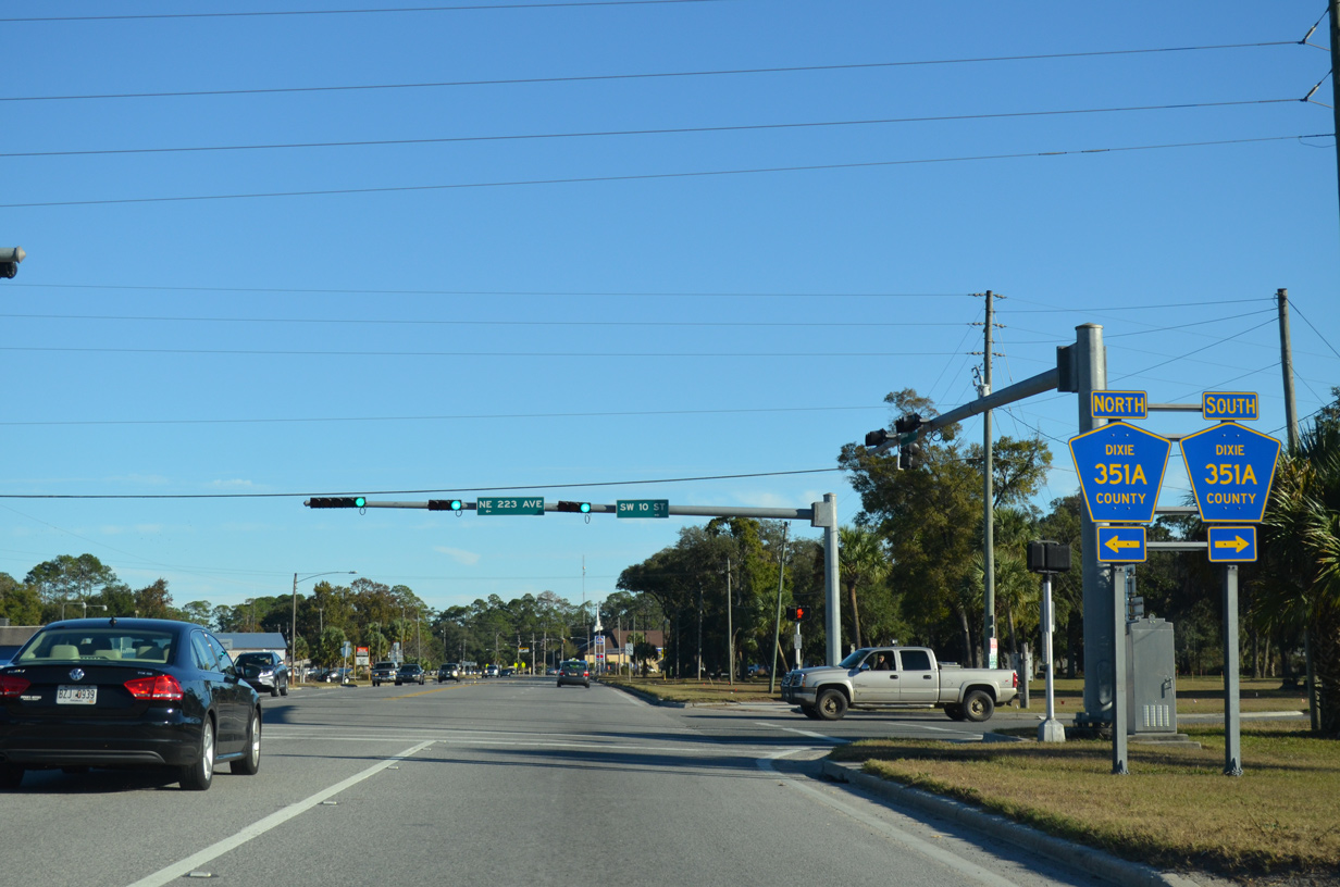
Connecting with CR 351 south to Horseshoe Beach, CR 351A (SW 10th Street) forms a bypass and truck route around the west side of Cross City.
11/26/14
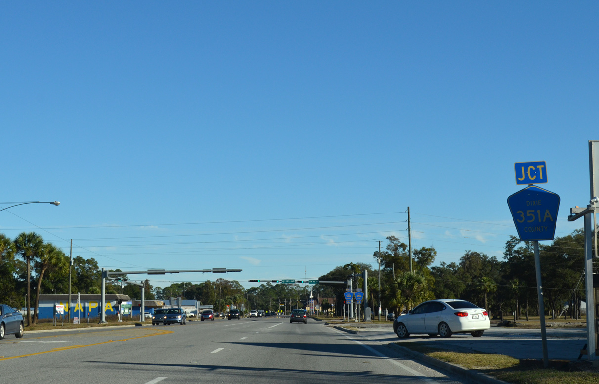
CR 351A continue 1.19 miles northeast along NE 223rd Avenue to CR 351.
11/26/14
11/26/14
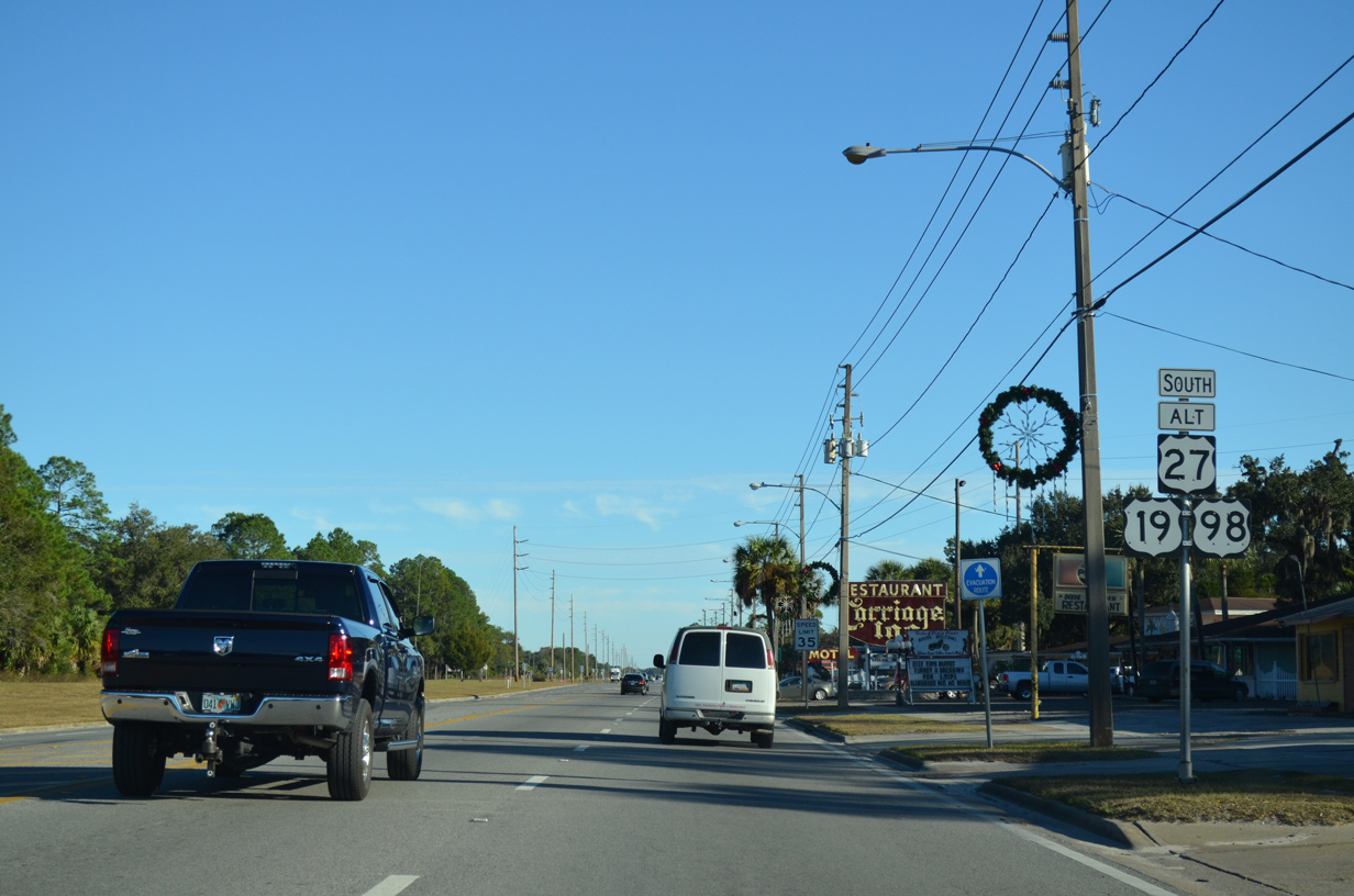
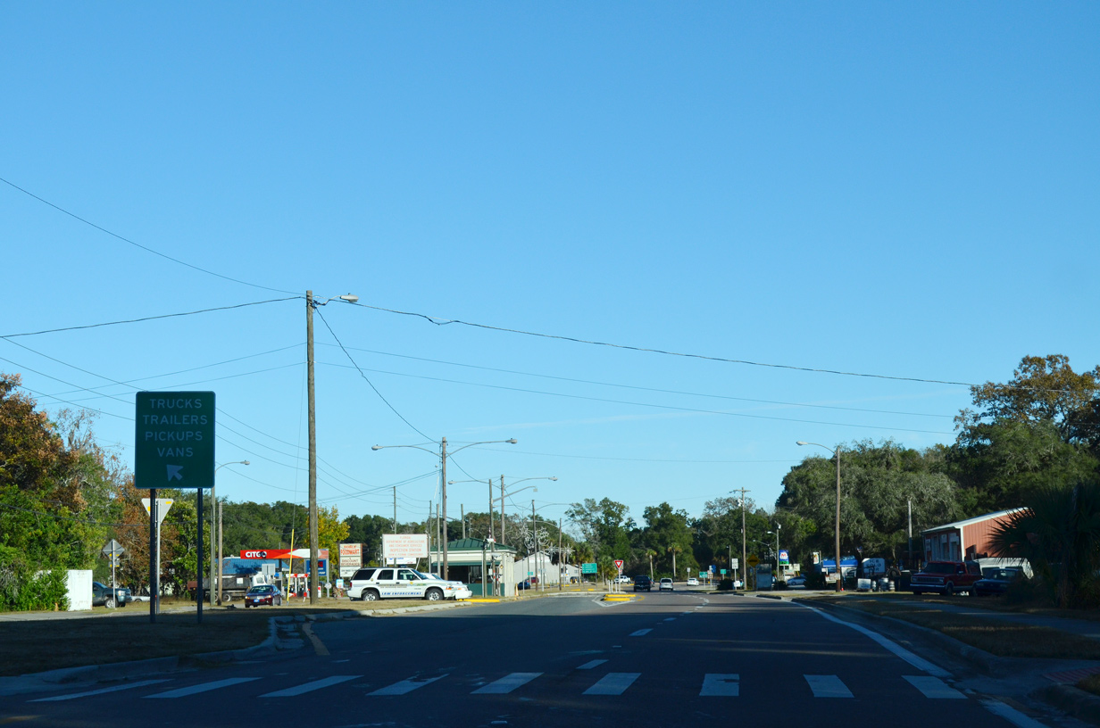
U.S. 19/98/27 Alternate enter Cross City ahead of Dixie County High School.
06/30/17
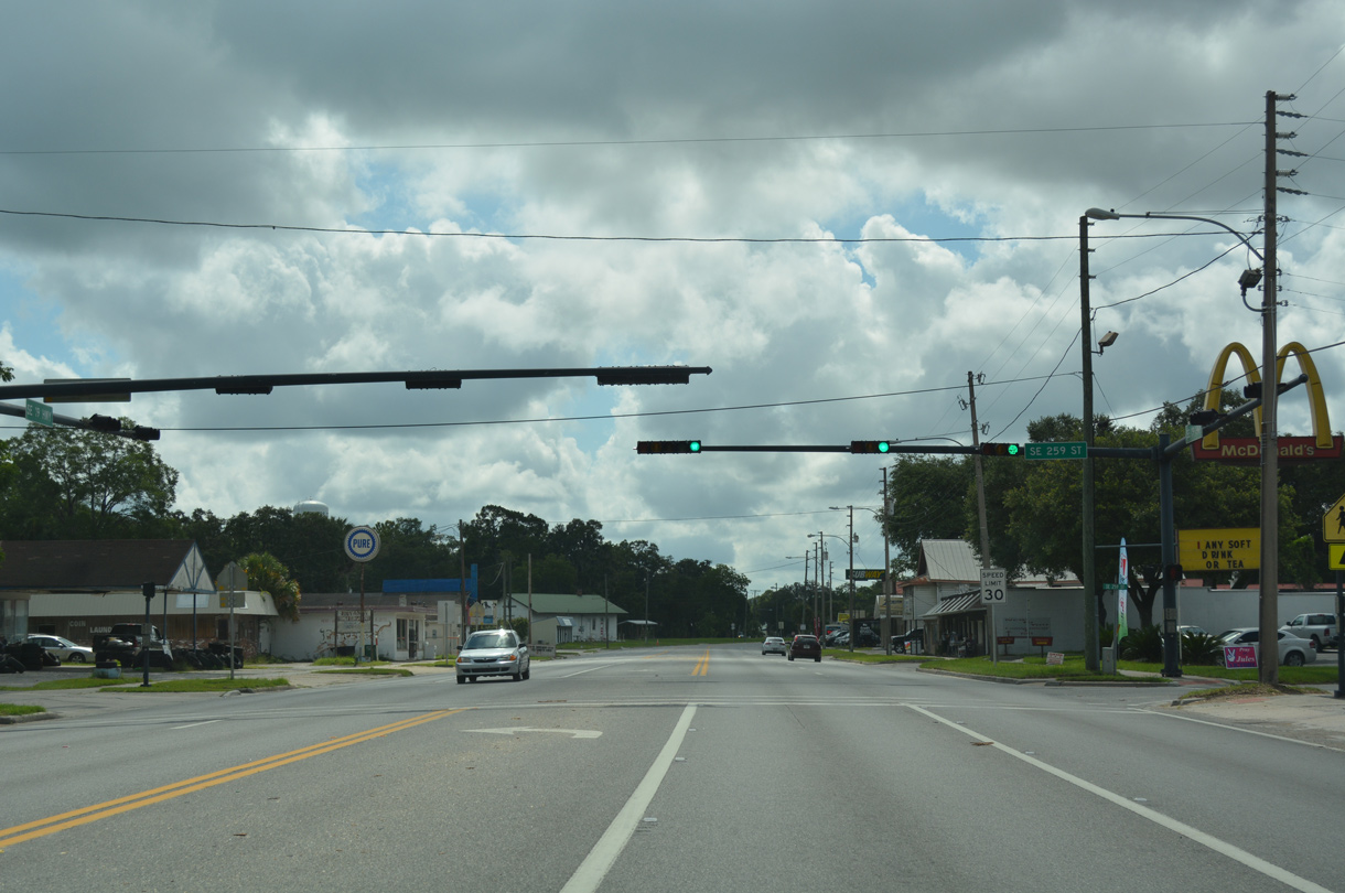
The second of four traffic lights along U.S. 19/98/27 ALT south through Cross City operates at SR 259th Street.
06/30/17
06/30/17
The southern branch of CR 351 ties into U.S. 19/98/27 ALT from neighborhoods in south Cross City.
06/30/17
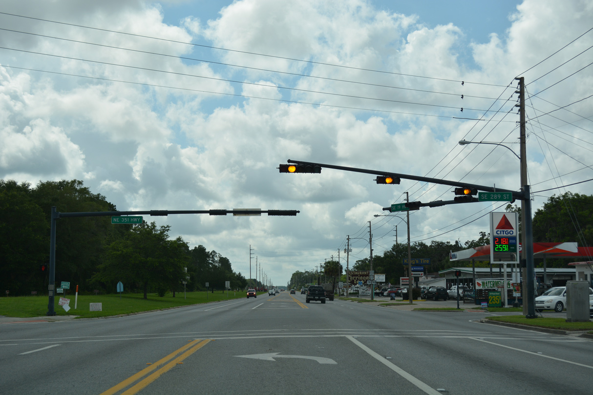
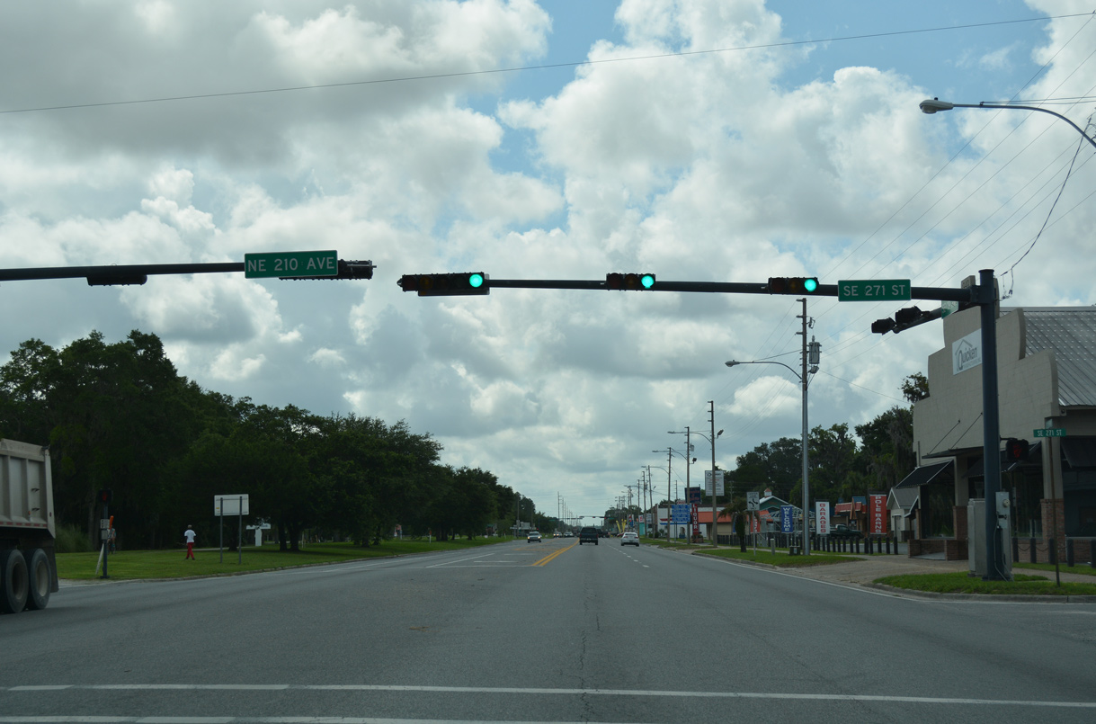
Although not signed on U.S. 19/98/27 ALT southbound, CR 351 resumes northward from SE 289th Street through Downtown Cross City. The Dixie County Courthouse lies four blocks to the north.
06/30/17
11/26/14
11/26/14
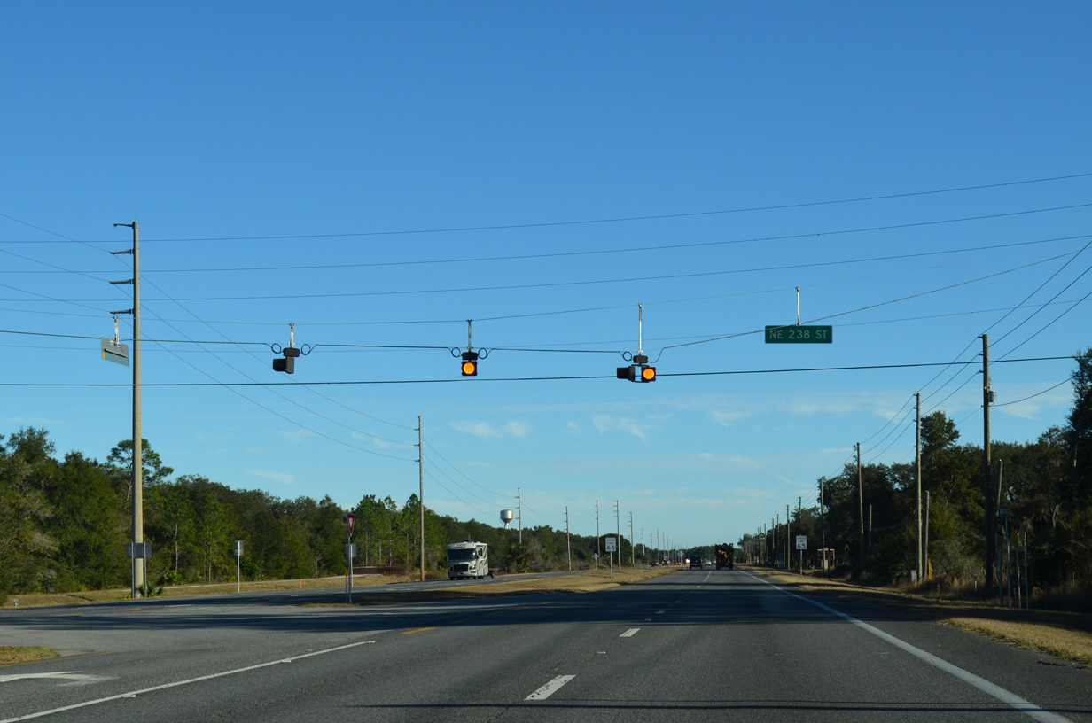
Leaving Cross City, U.S. 19/98/27 ALT expand again into a four lane, divided highway just ahead of NE 238th Street.
11/26/14
11/26/14
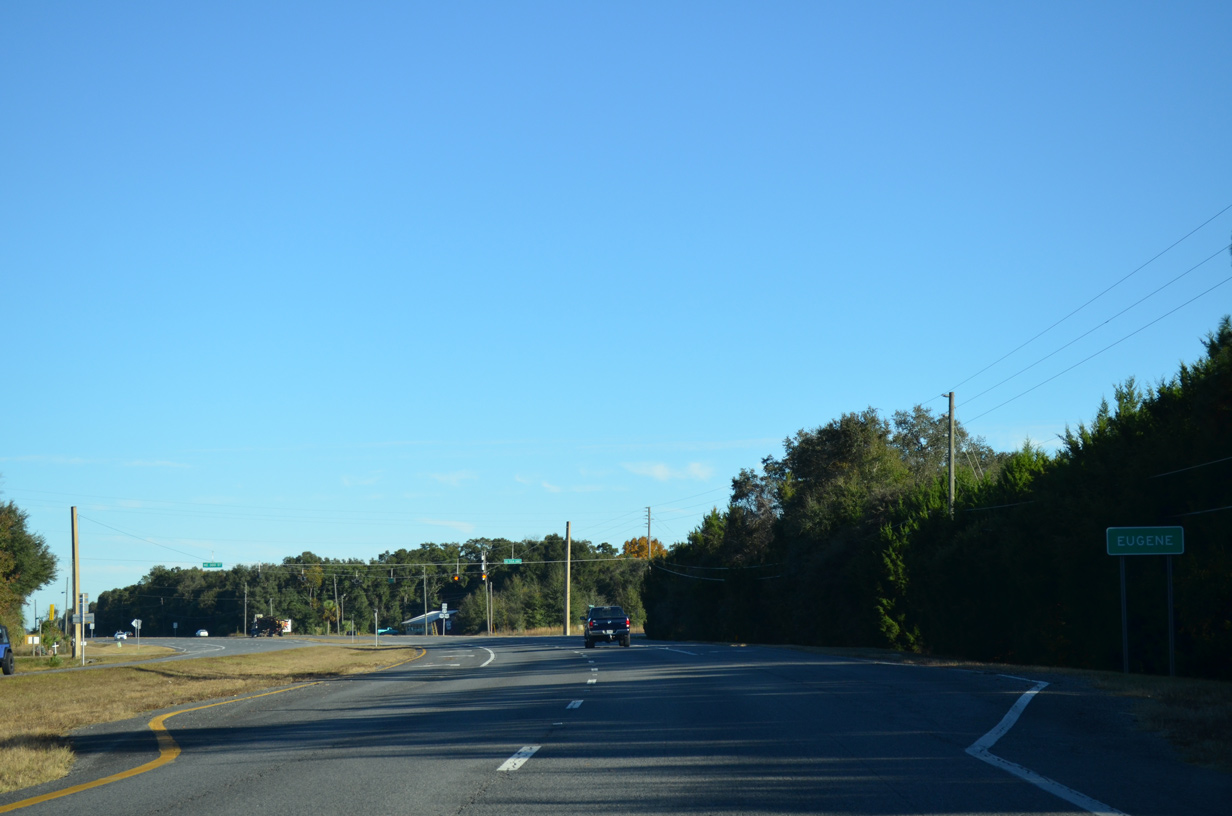
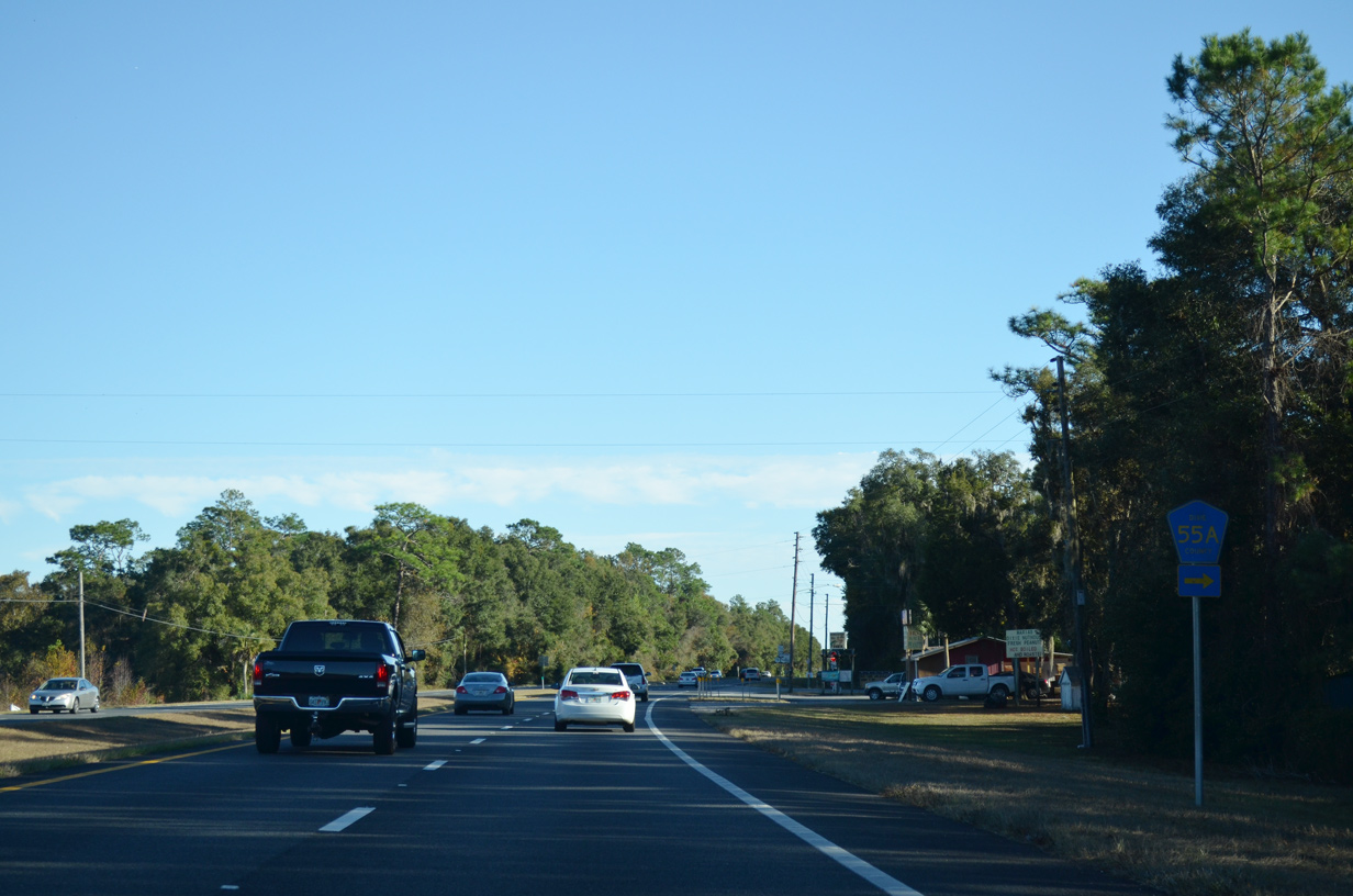
CR 55A branches south from U.S. 19/98/27 Alternate at NE 300th Street. The lone reference for the county road southbound was removed by October 2009.
07/19/07
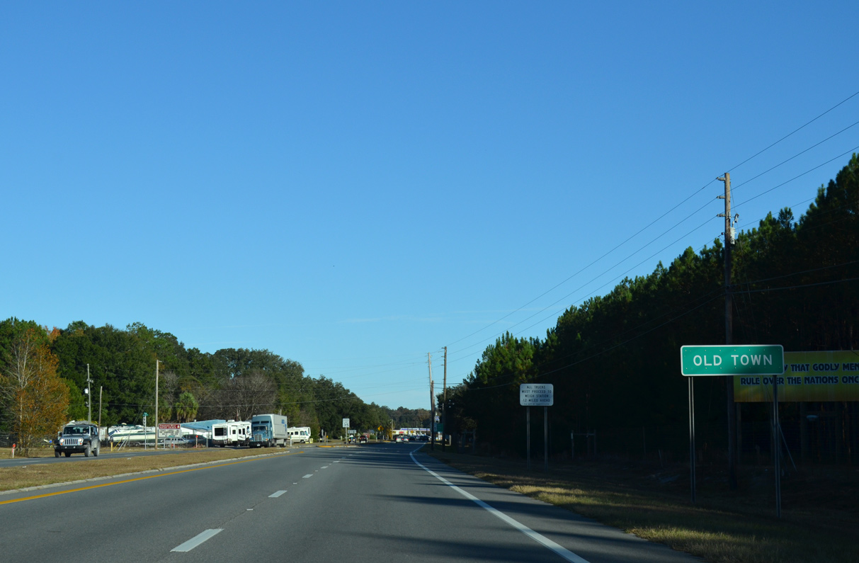
CR 55A constitutes an 8.11 mile long east from Eugene back to U.S. 19/98/27 Alternate beyond Old Town.
11/26/14
11/26/14
11/26/14
11/26/14
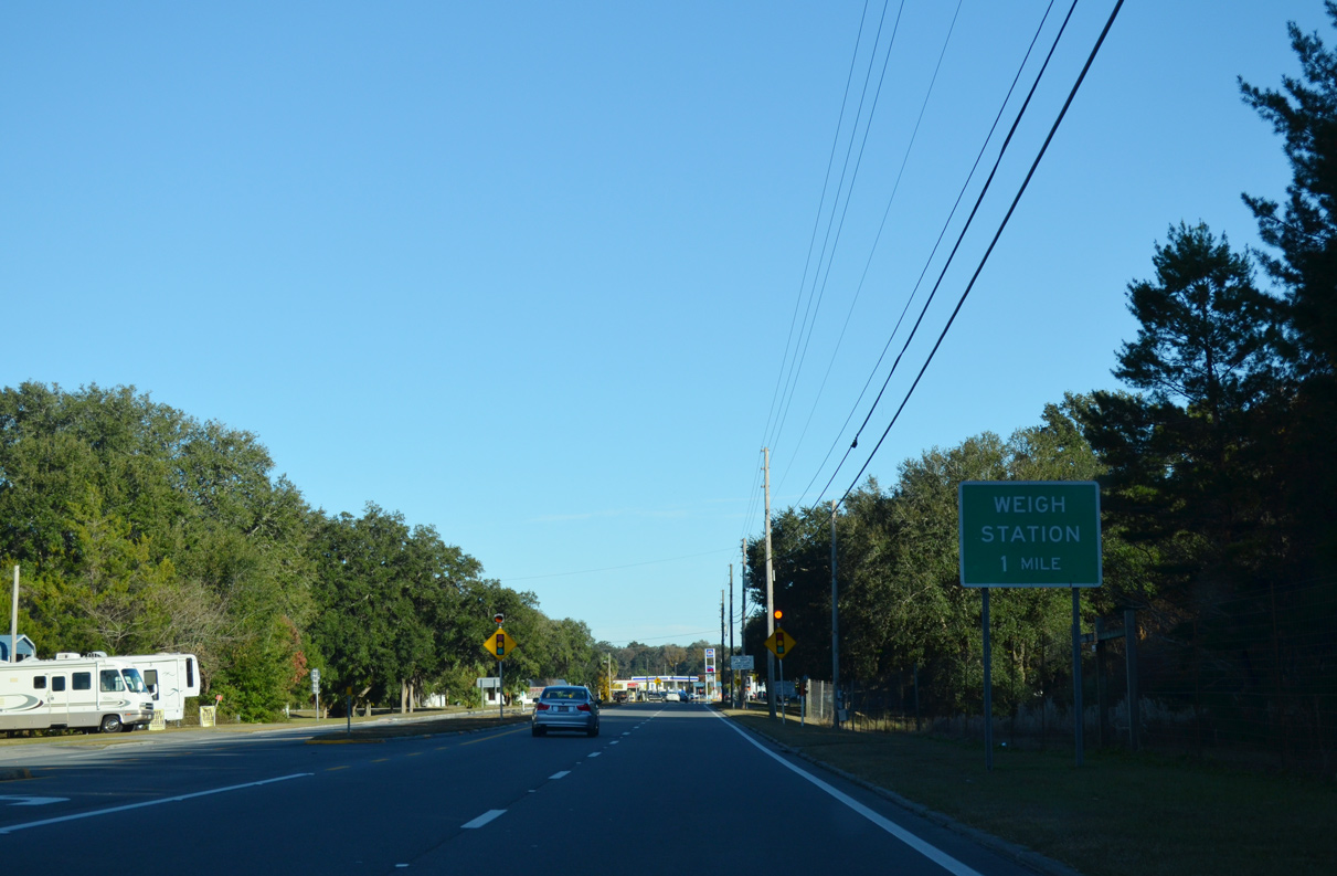
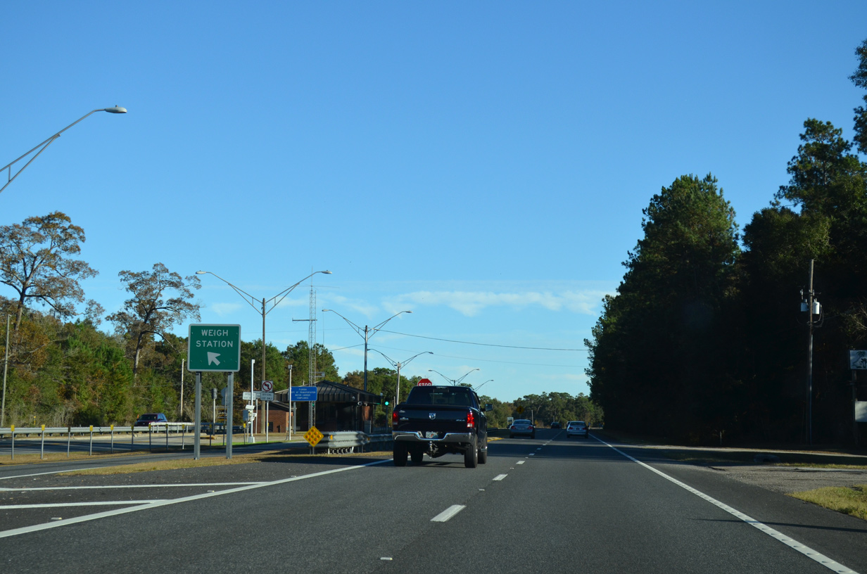
A weigh station lines U.S. 19/98/27 Alternate between Old Town and the Suwannee River.
11/26/14
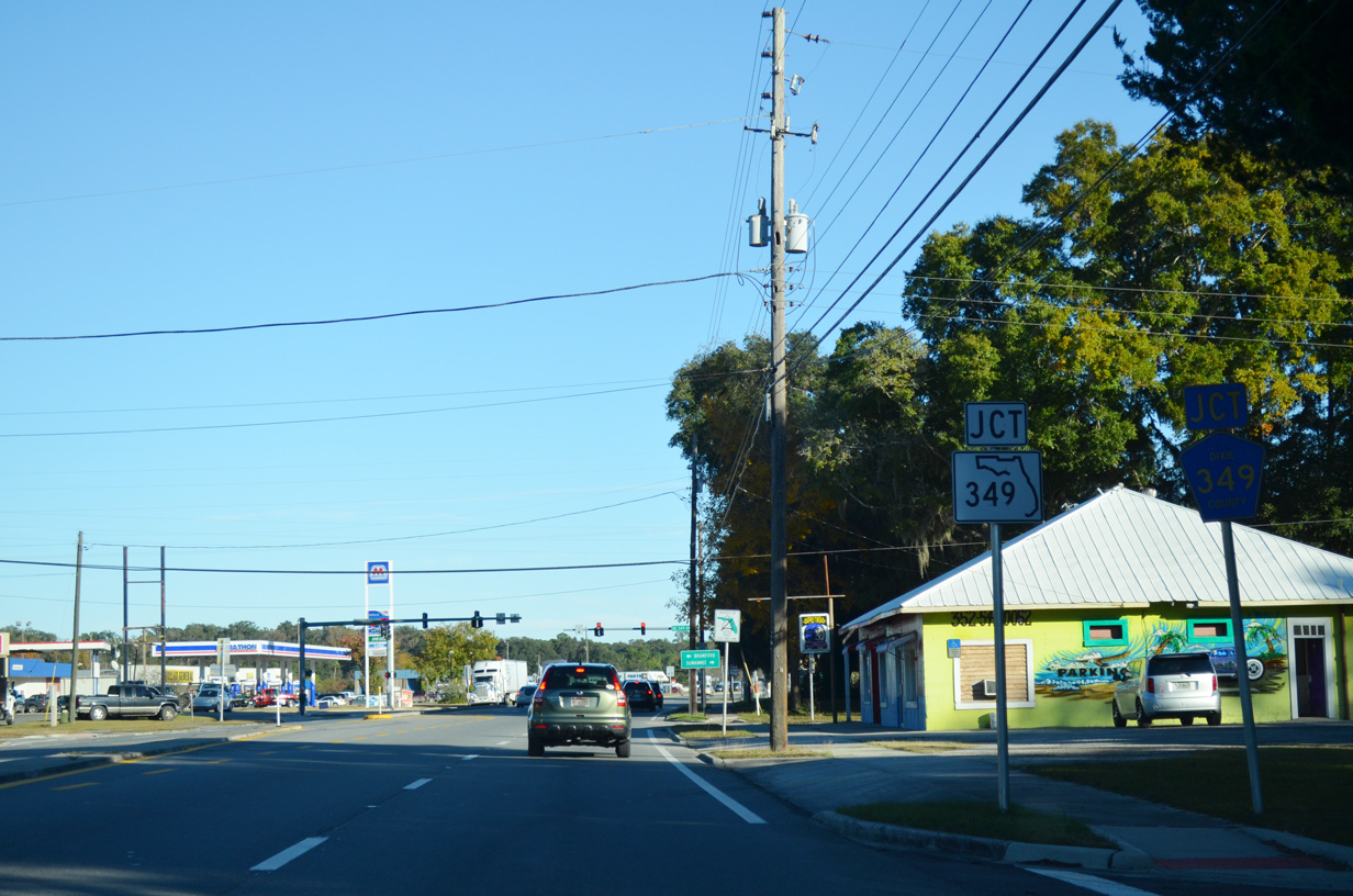
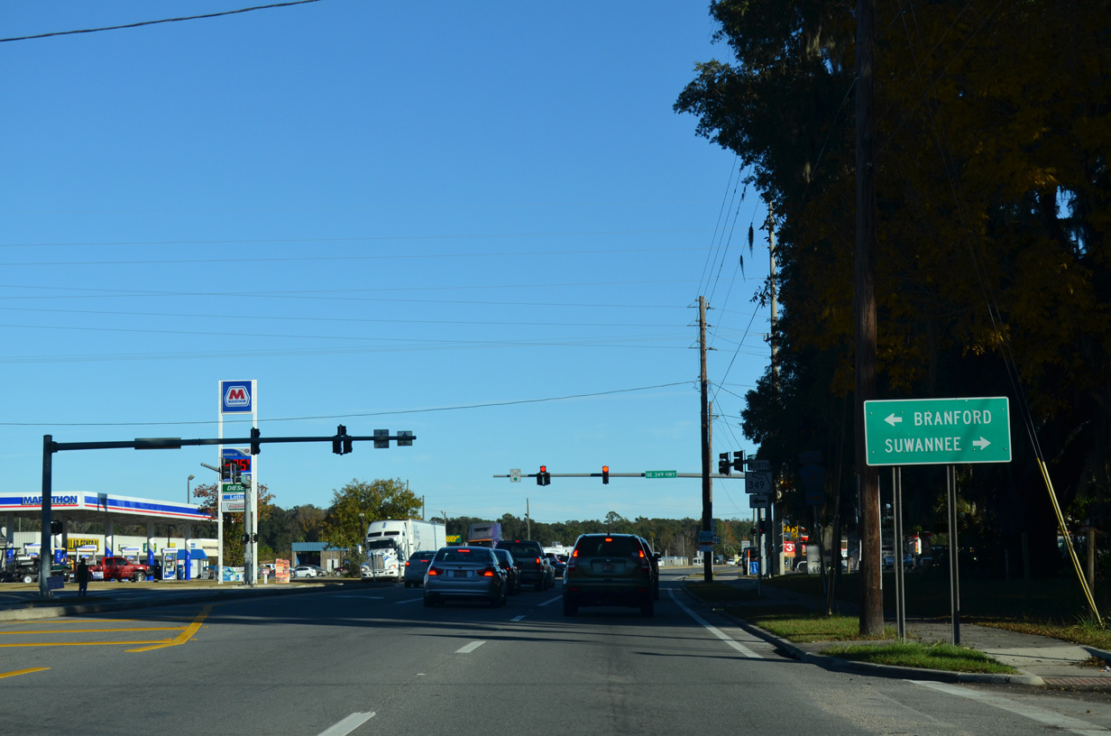
The south end of SR 349 is at Old Town. CR 349 extends the route 23.49 miles southwest to Suwannee.
11/26/14
11/26/14
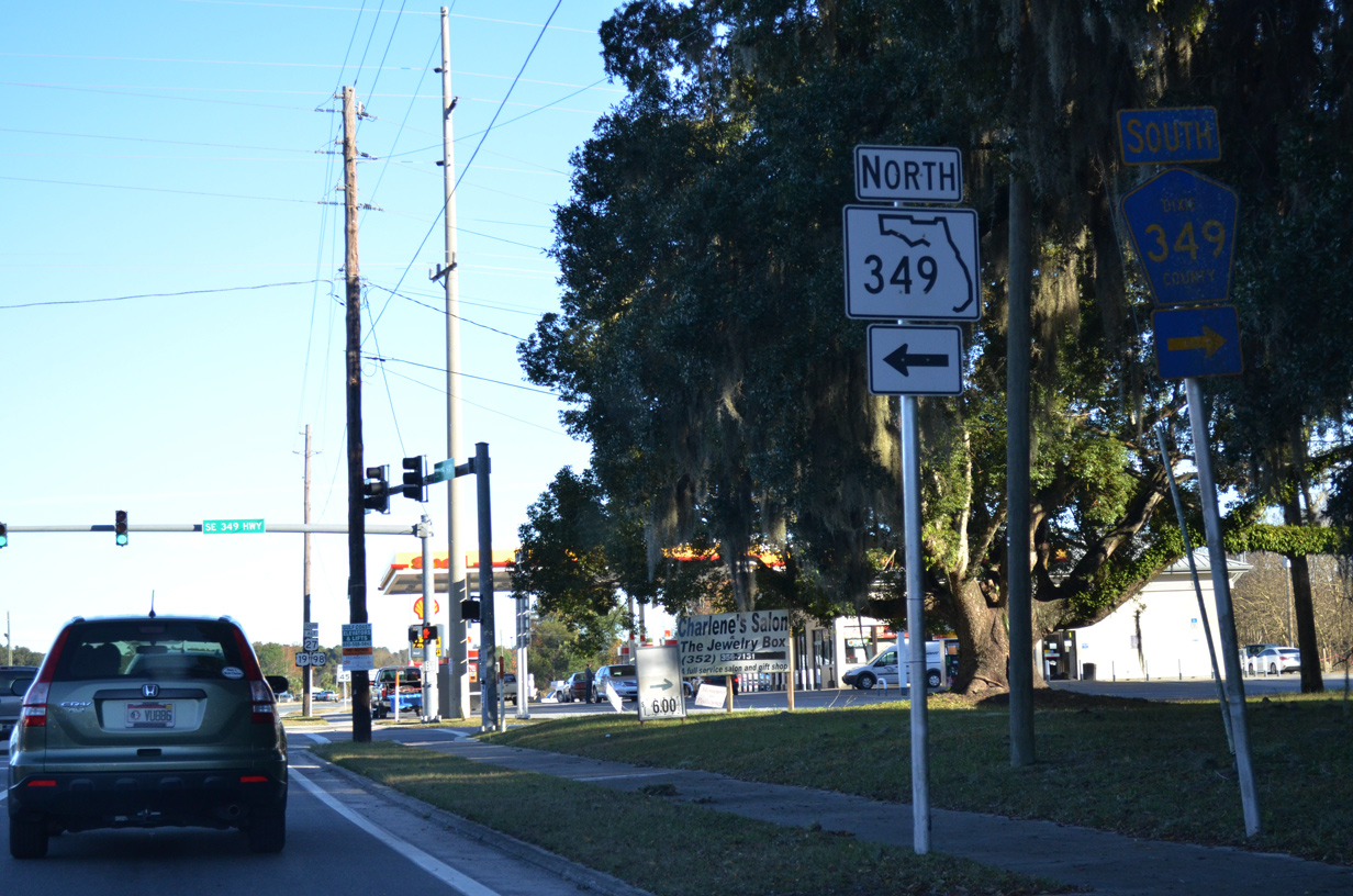
Formerly U.S. 129 Alternate, State Road 349 travels 24.3 miles north to U.S. 27 west of Branford and U.S. 129.
11/26/14

11/26/14
11/26/14
11/26/14

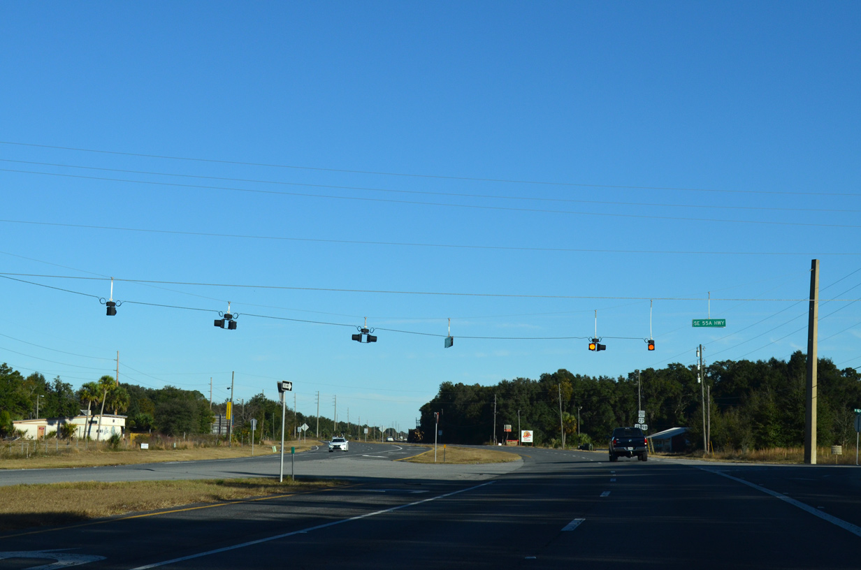
CR 55A returns to U.S. 19/98/27 Alt along SE 136th Avenue from CR 349.
11/26/14
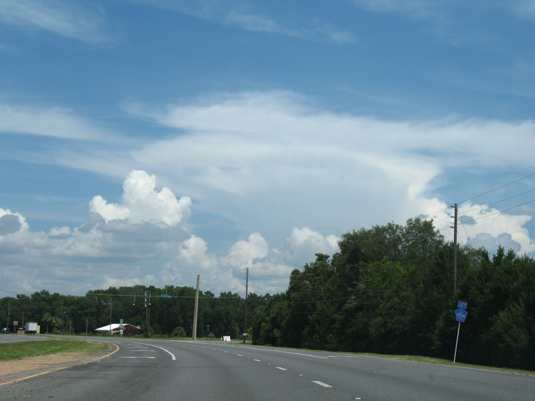
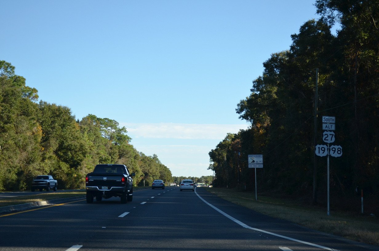
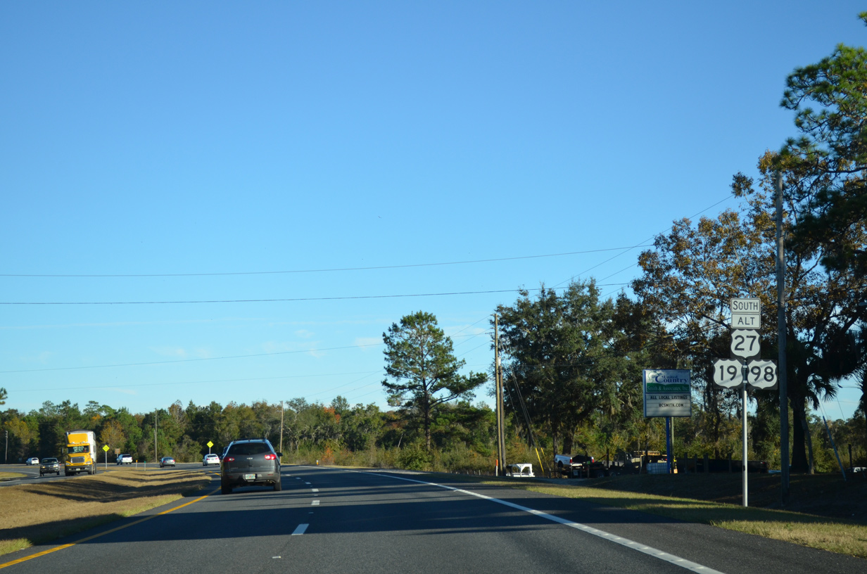
CR 55A relates to SR 55, which is the hidden overlap of the three US highways between Perry and Chiefland.
11/26/14
11/26/14
11/26/14
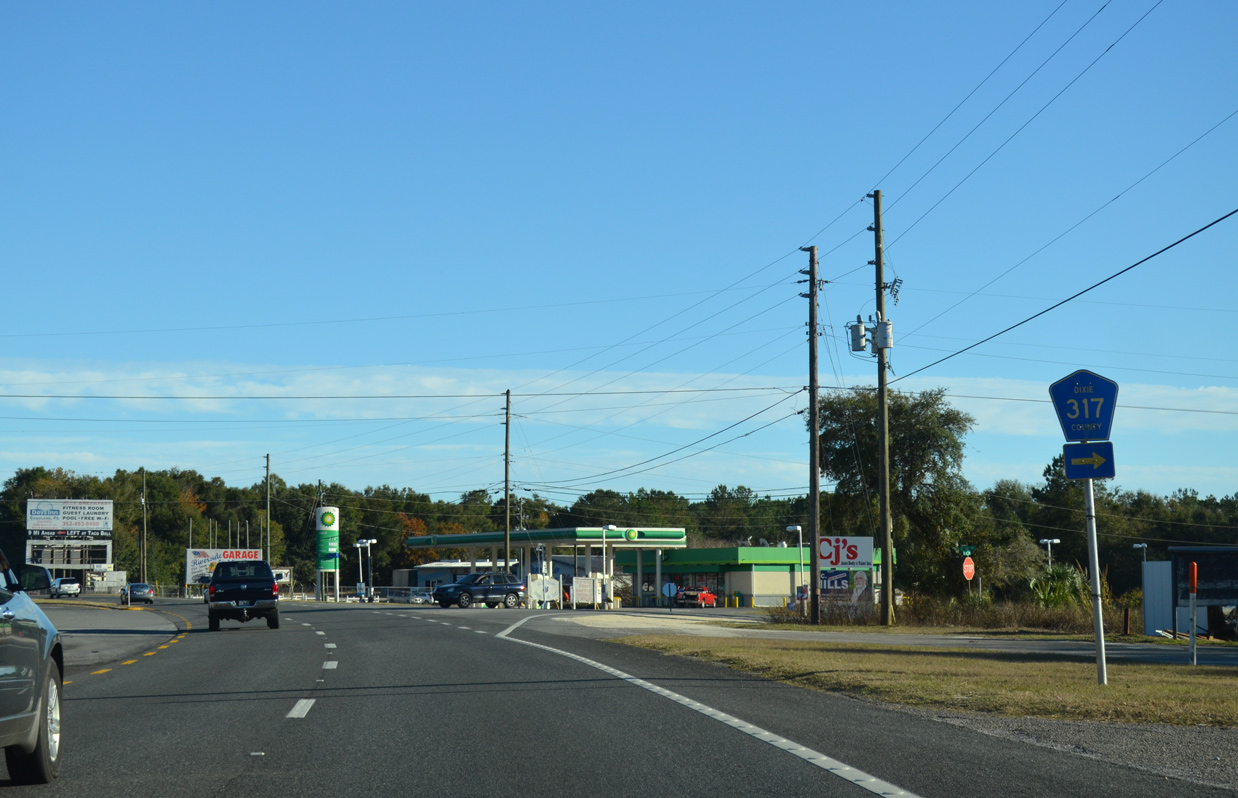
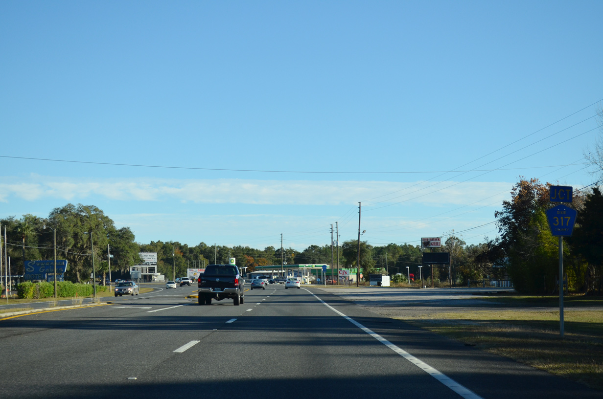
CR 317 heads south to Suwannee Gardens and Hinton Landing along the Suwannee River.
11/26/14
11/26/14
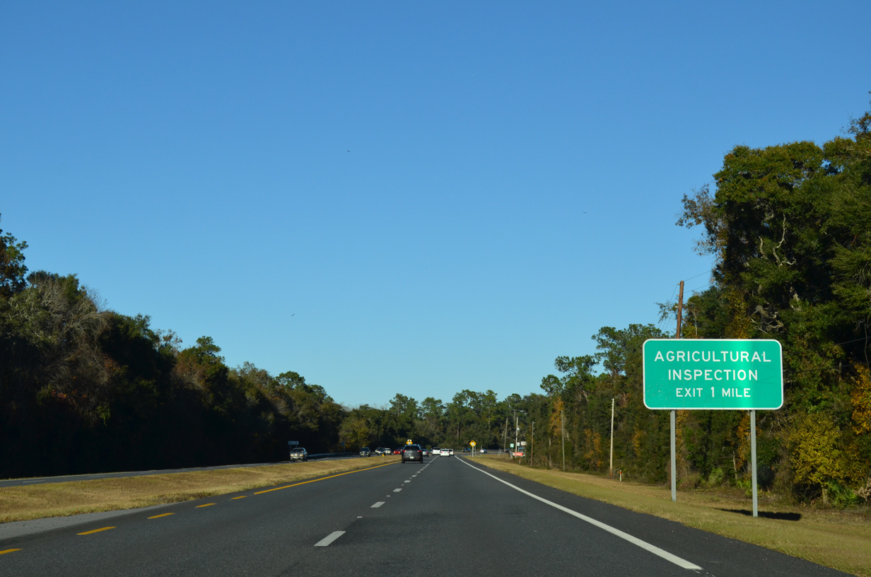
Navigating along an S-curve adjacent to the Suwannee River, U.S. 19/98/27 Alternate proceed one mile east to an agricultural inspection station at Fanning Springs.
11/26/14
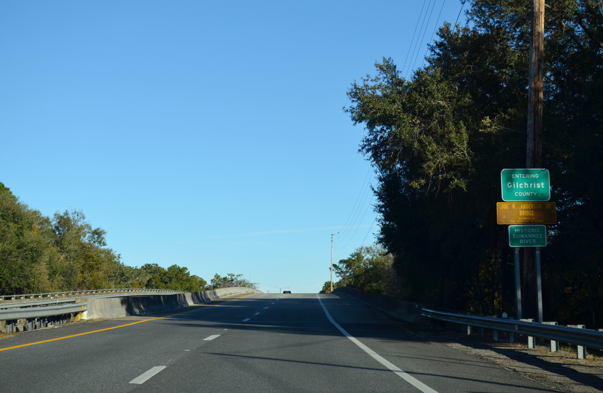
Crossing the Historic Suwannee River, U.S. 19/98/27 Alternate enter Gilchrist County.
11/26/14
11/26/14
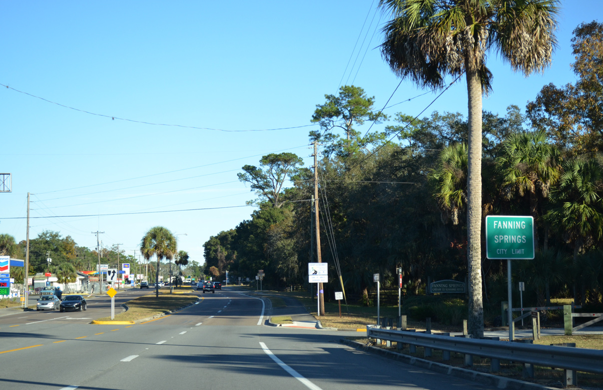
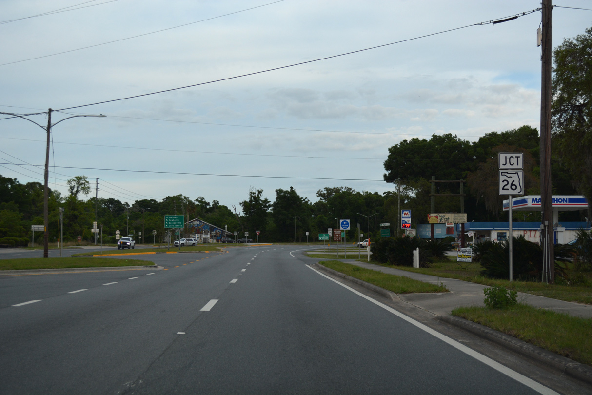
Straddling the Gilchrist / Levy County line through Fanning Springs, U.S. 19/98/27 ALT continue 0.61 miles to SR 26.
11/26/14
The Florida agricultural inspection station falls within the median of U.S. 19/98/27 ALT just ahead of the split with SR 26 east.
11/26/14
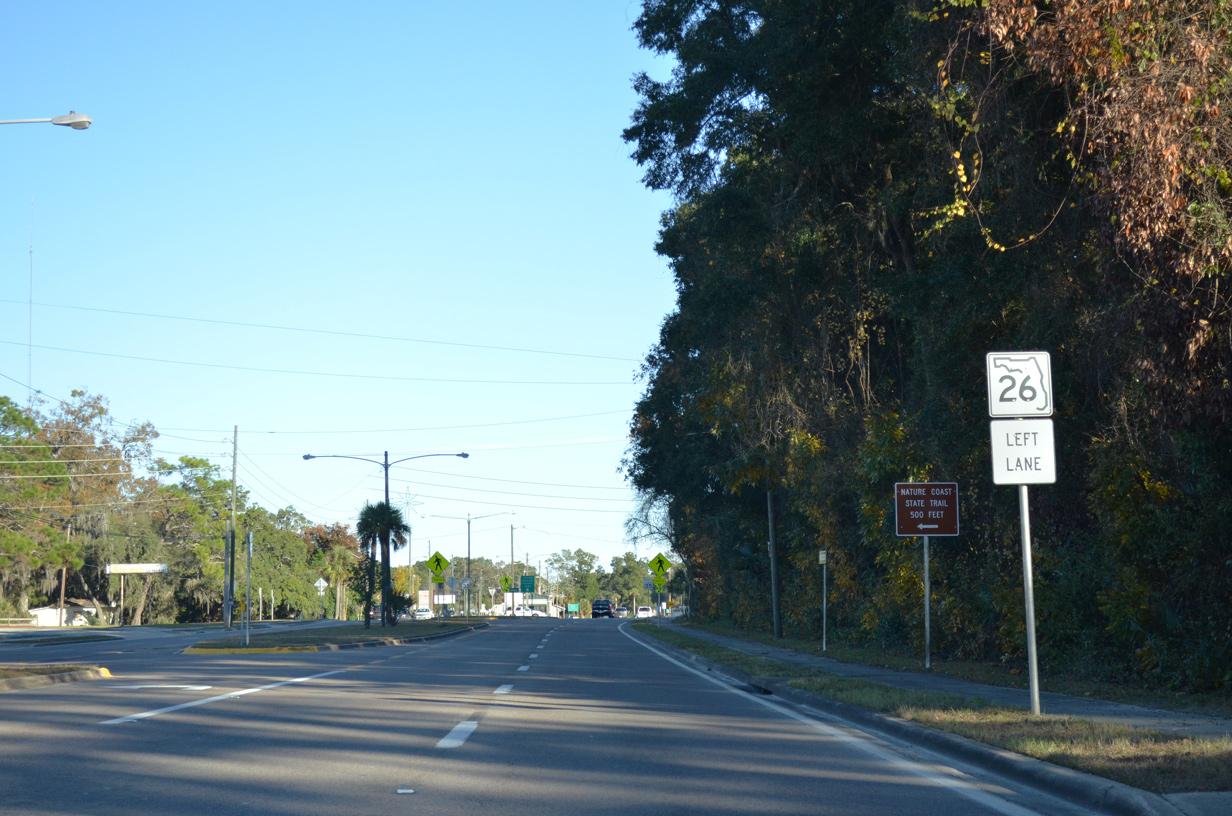
SR 26 initially heads north to Wilcox Junction before turning east to Trenton.
04/17/19
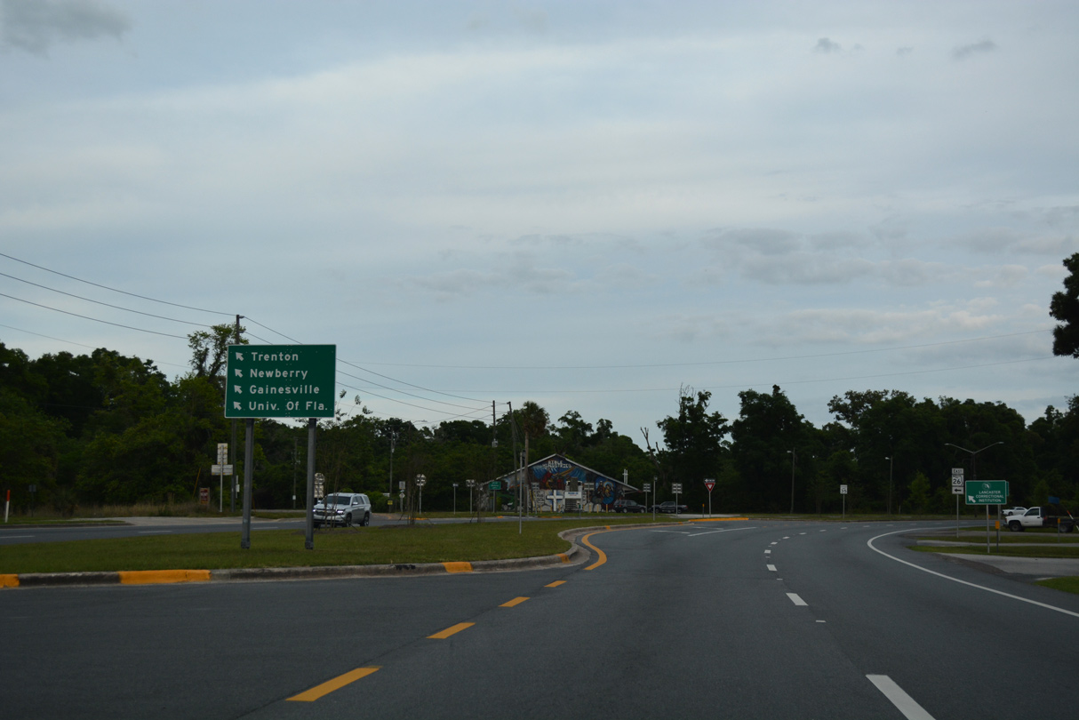
State Road 26 joins the Nature Coast with Newberry and Gainesville in Alachua County.
04/17/19
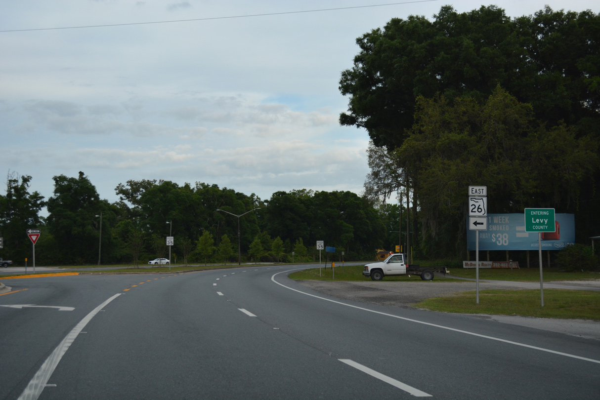
U.S. 19/98/27 ALT turn south into Levy County from the west end of SR 26.
04/17/19
Photo Credits:
- 07/19/07 by AARoads.
- 11/26/14 by AARoads.
- 06/30/17 by AARoads.
- 04/17/19 by AARoads and JP Nasiatka.
Page Updated 04-28-2020.