|
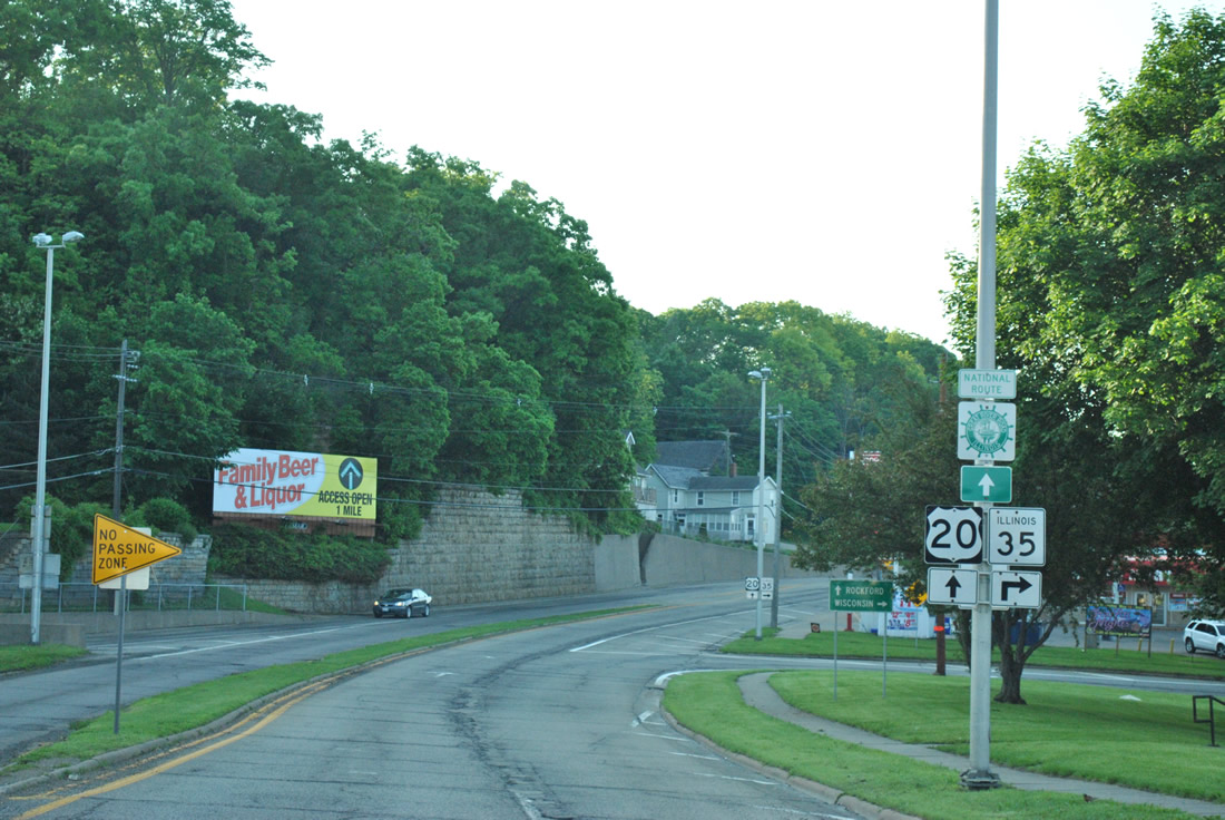
| U.S. 20 lowers from the Julien Dubuque Bridge into the city of East Dubuque at the northwestern tip of Illinois in Jo Davies County. 05/30/11 |
|
| A folded diamond interchange ties into the east end of the Julien Dubuque Bridge with IL 35 at Wall Street and Wisconsin Avenue. 05/30/11 |
|
| IL 35 winds 2.2 miles northeast from U.S. 20 (Sinsinawa Avenue) to become Wisconsin 35, a 412 mile Trunk Highway leading northward to Superior. 05/30/11 |
|
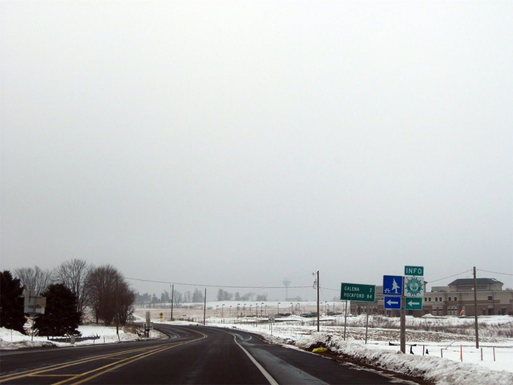
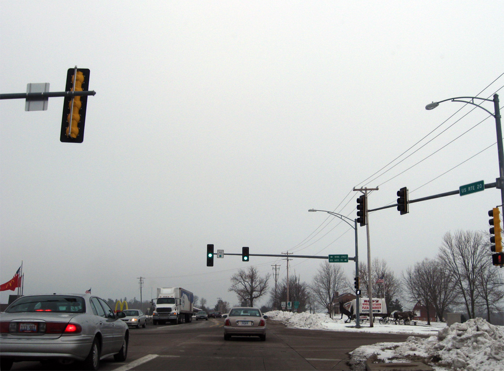
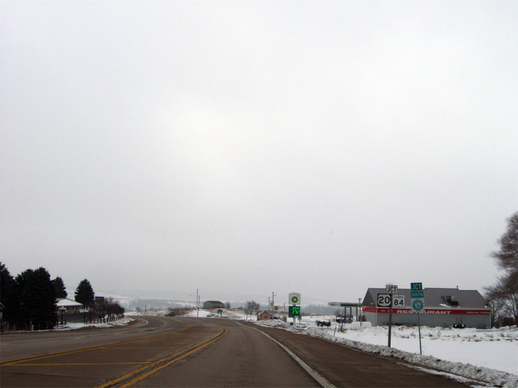
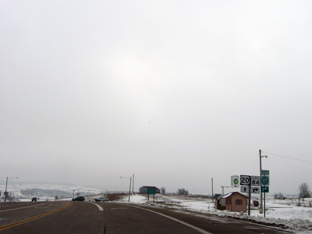
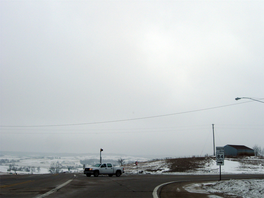
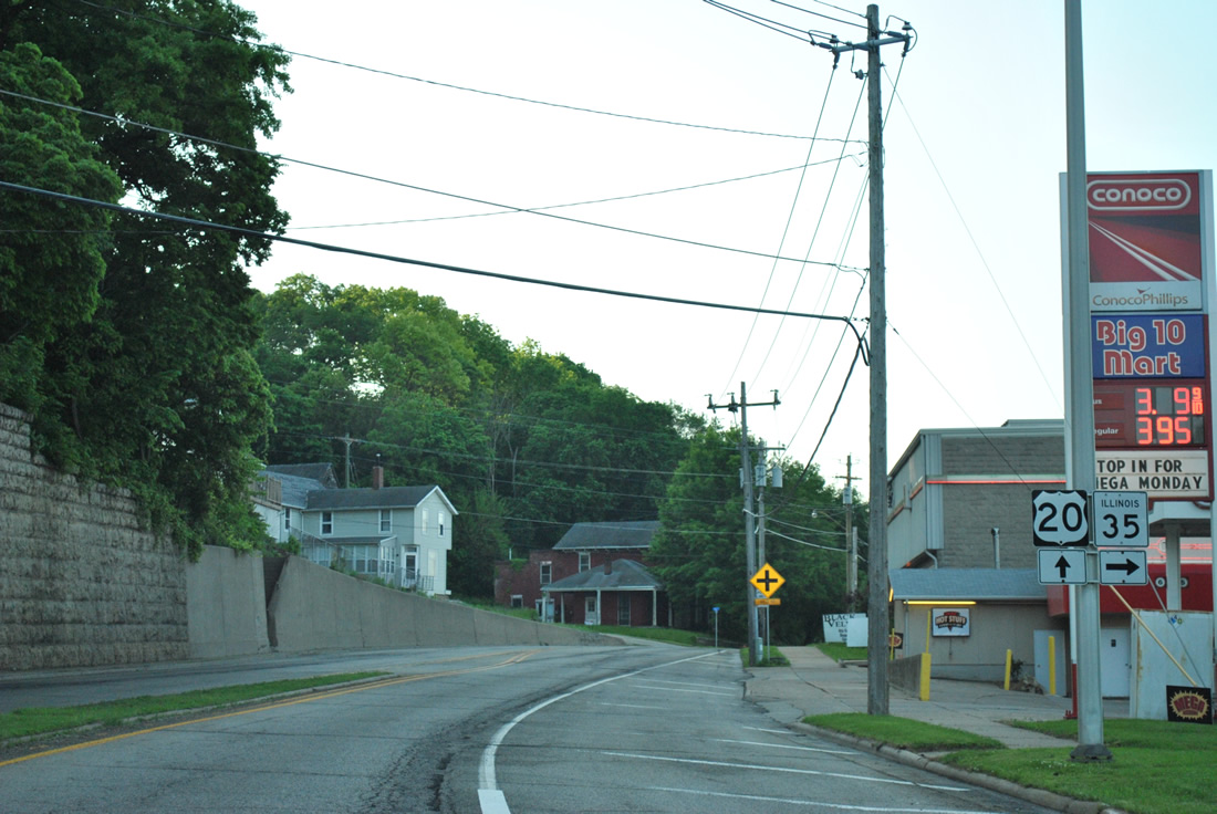
| U.S. 20 east / IL 84 continue south two miles to Galena, the Jo Davies County seat. Rockford is 84 miles to the east along U.S. 20. 12/21/09 |
|
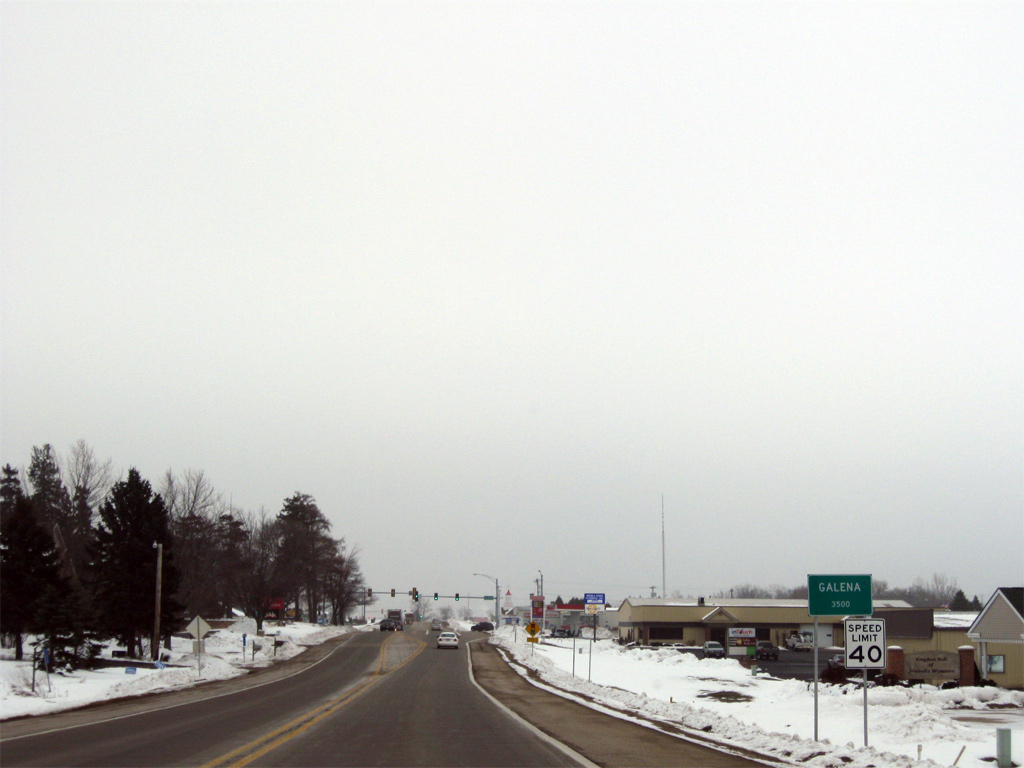
| The city limits of Galena extend several miles northwest of the city center to include an industrial park and big box retail. 12/21/09 |
|
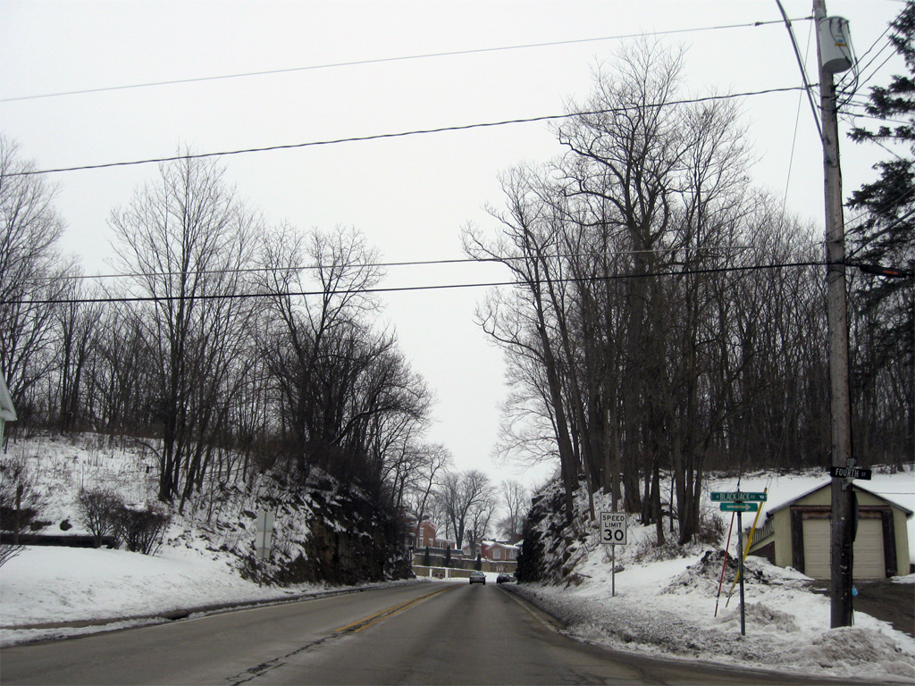
| A traffic light operates along U.S. 20/IL 84 at Industrial Drive west and Oldenburg Lane east just south of the city line. 12/21/09 |
|
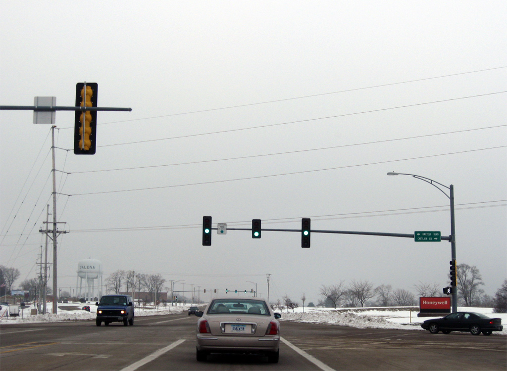
| Chetlain Lane stems west from U.S. 20/IL 84 at Bartell Boulevard to County Route 12 (Menominee Road) near Menominee. 12/21/09 |
|
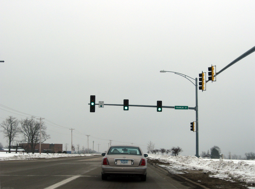
| Franklin Street branches eastward from U.S. 20/IL 84 to lead directly into downtown Galena. 12/21/09 |
|
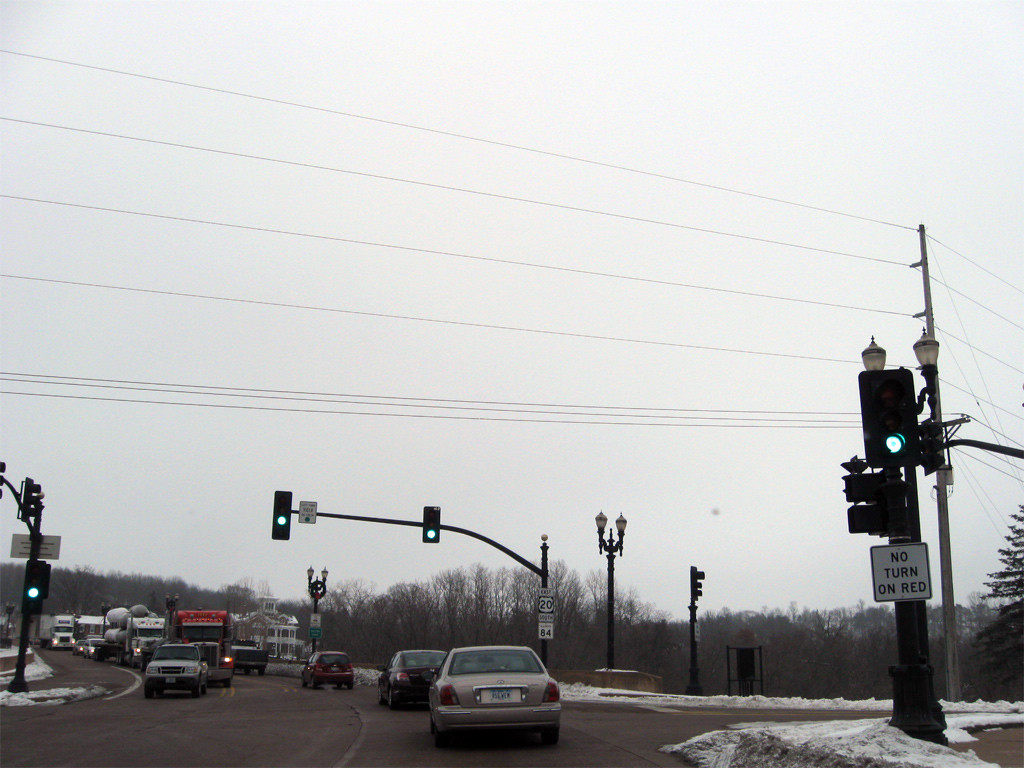
| Irvine Street west and Red Gates Road east come together at the next traffic light along U.S. 20 east / IL 84 south in Galena. 12/21/09 |
|
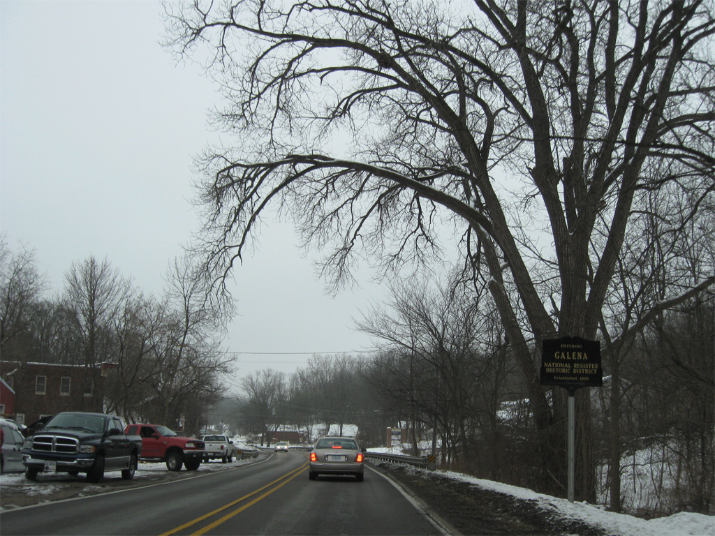
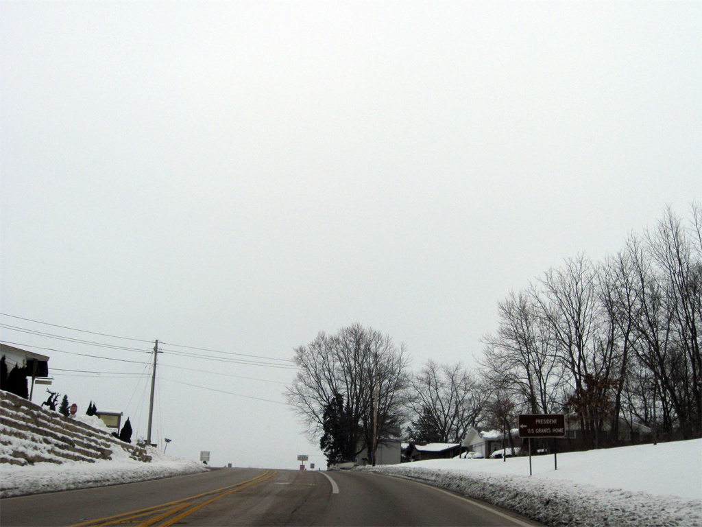
| U.S. 20/IL 84 enter the Galena National Historic District ahead of Summit Street. Galena is home to over 1,000 buildings constructed before 1900, including the Ulysses S. Grant Home, where the 18th President of the U.S. lived preceding the Civil War. 12/21/09 |
|
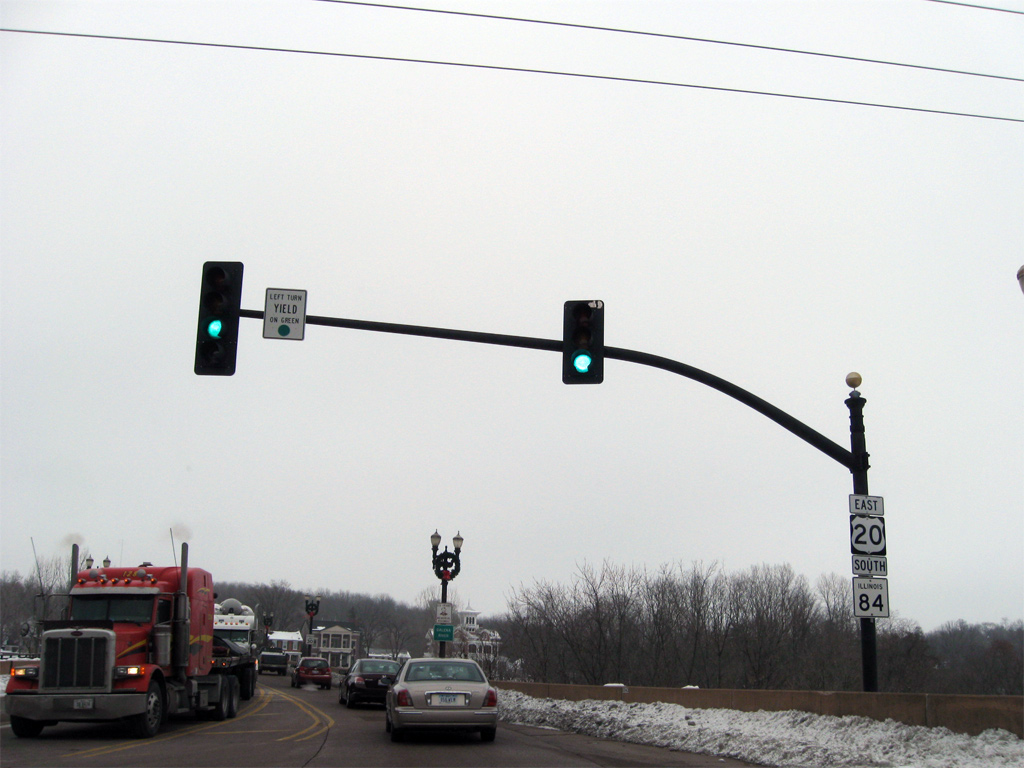
| Main Street intersects U.S. 20/IL 84 (Decatur Street) just south of Downtown Galena. County Route 3 ties into the east end of Main Street from Warren and Apple River in northeastern Jo Davies County. 12/21/09 |
|
| U.S. 20 east / IL 84 south precede to cross the Galena River between Main Street and Park Avenue. A riverside park lines the north side of the bridge. 12/21/09 |
|
| U.S. 20/IL 84 (Decatur Street) ascend through a rock cut between 4th Street and Bouthillier Street 12/21/09 |
|
| Bouthillier Street angles northwest from U.S. 20/IL 84 to the Ulysses S. Grant Home. 12/21/09 |
|
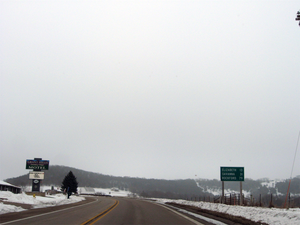
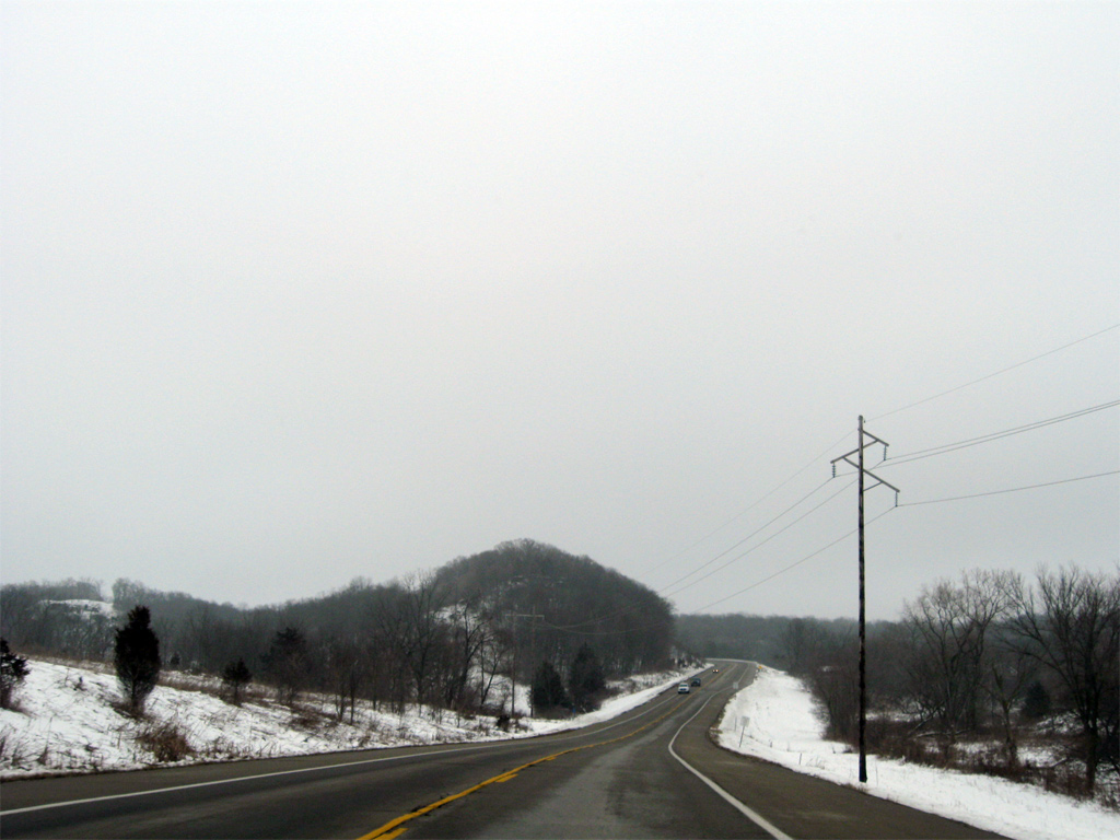
| Distance sign posted 13 miles northwest of Elizabeth on U.S. 20/IL 84. Rockford is 79 miles to the east of Galena via U.S. 20 while Savanna is a 31 mile drive south along IL 84 and the Great River Road. U.S. 20/IL 84 round Horseshoe Mound just east of this distance sign and Powder Hill Road. 12/21/09 |
|
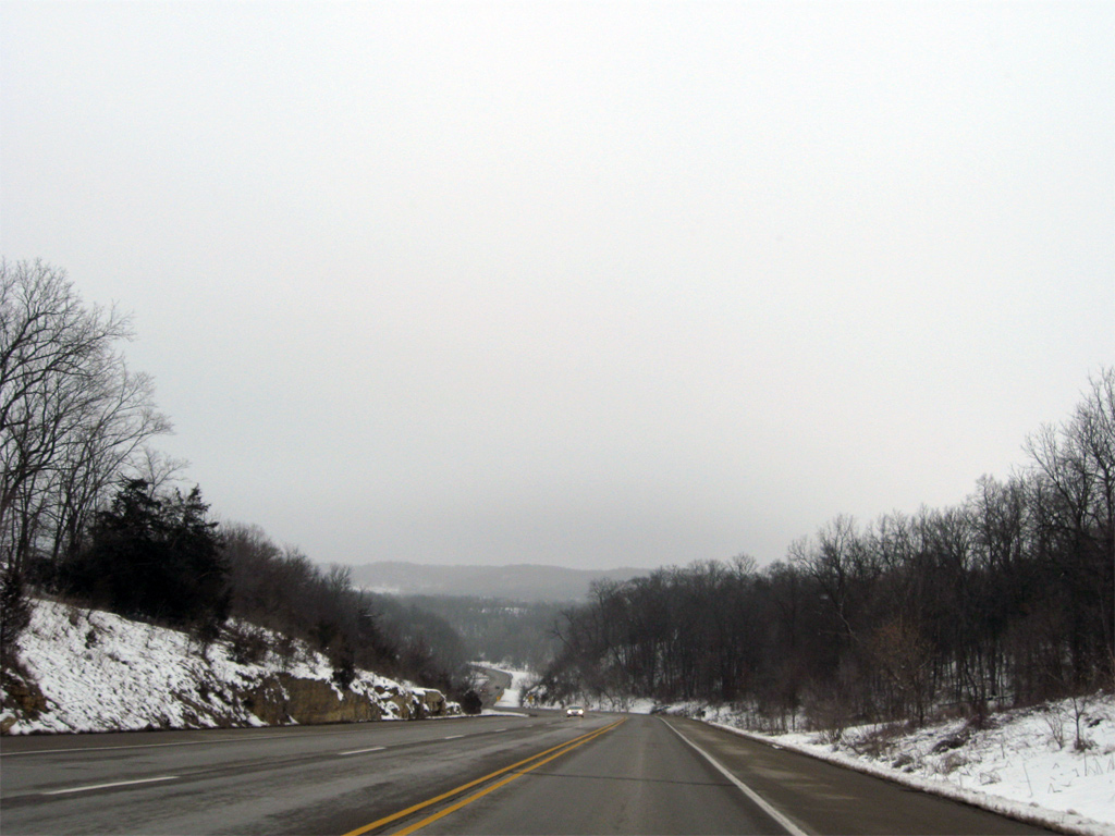
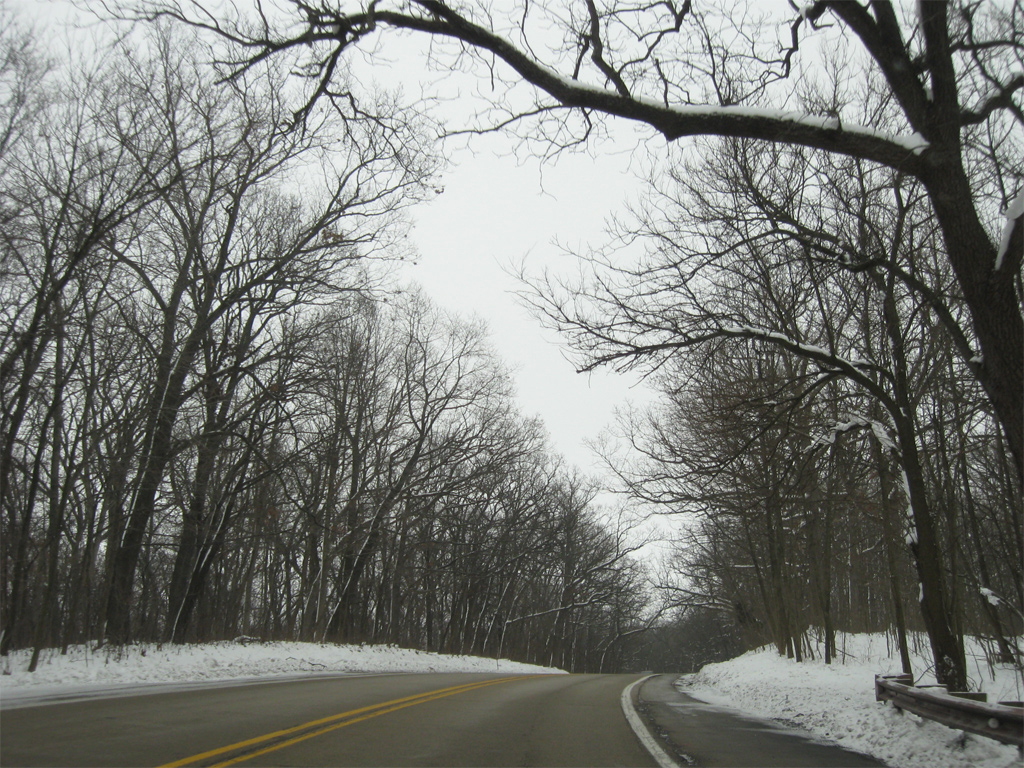
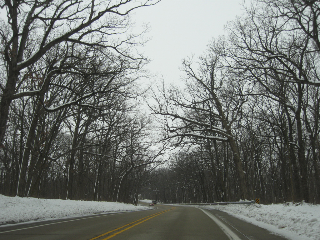
| Lowering to cross Smallpox Creek along U.S. 20/IL 84 east. Passing lanes join either occasionally on the drive southeast from Galena. 12/21/09 |
|
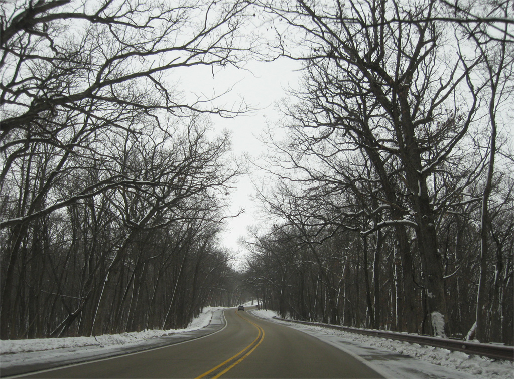
| U.S. 20 east / IL 84 south after Devils Ladder Road. 12/21/09 |
|
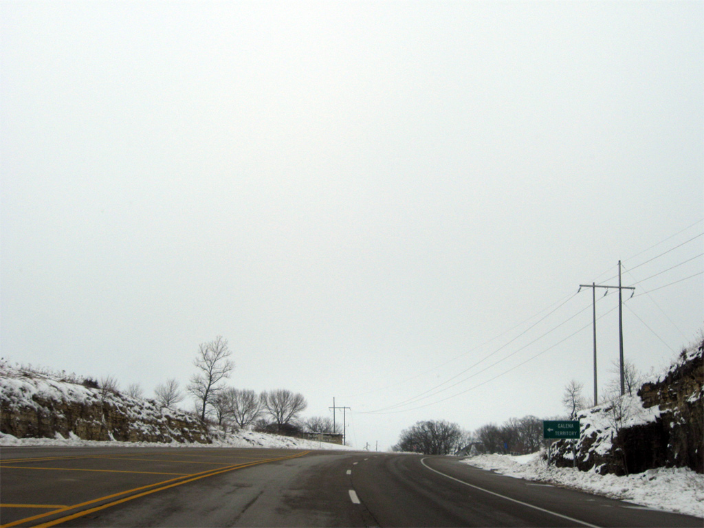
| Territory Drive links U.S. 20/IL 84 with Eagle Ridge Drive northward to The Galena Territory community at Lake Galena. 12/21/09 |
|
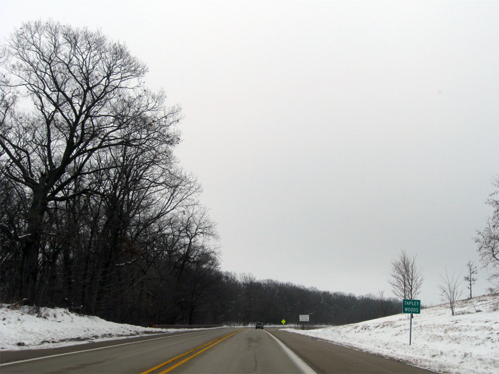
| Entering the Tapley Woods Conservation Area on U.S. 20 east / IL 84 south. 12/21/09 |
|
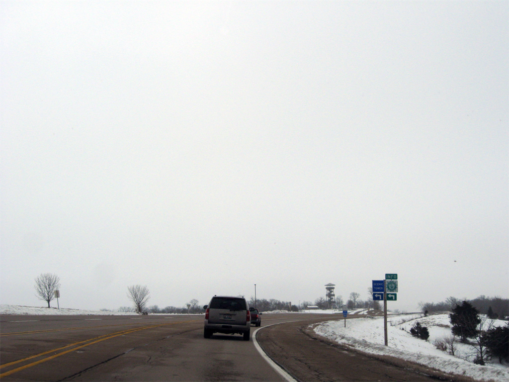
| The Long Hollow Scenic Overlook lines the north side of U.S. 20/IL 84 near their eastbound split. The tower stands at 100 feet tall and is part of the Great River Road parks system. 12/21/09 |
|
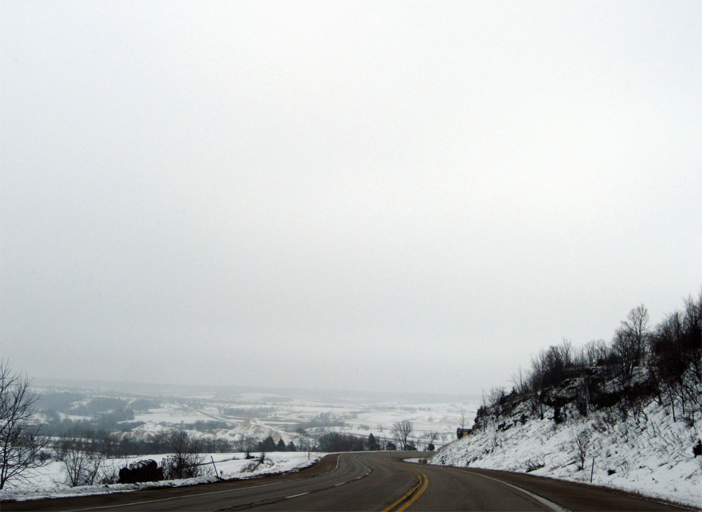
| Lowering from the forested hill south of Long Hollow, U.S. 20 east / IL 84 advance to their split, which lies west of a quarry and Apple River. 12/21/09 |
|
| IL 84 resumes a southward course from U.S. 20 east, three miles outside Elizabeth. The state route continues the Great River Road as it parallels the Mississippi again from Mississippi Palisades State Park to East Moline. 12/21/09 |
|
| U.S. 20 continues east 15 miles to Stockton as IL 84 drops south five miles to Hanover and 19 miles to Savanna. 12/21/09 |
|
| A rural intersection between U.S. 20 and IL 84 allows drivers remaining on the US route to continue uninterrupted to Elizabeth. 5,200 vehicles per day (vpd) were recorded on U.S. 20 east from here in 2011 while 2,300 vpd was counted on IL 84 to the south. 12/21/09 |
Page Updated 03-14-2013.


 East
East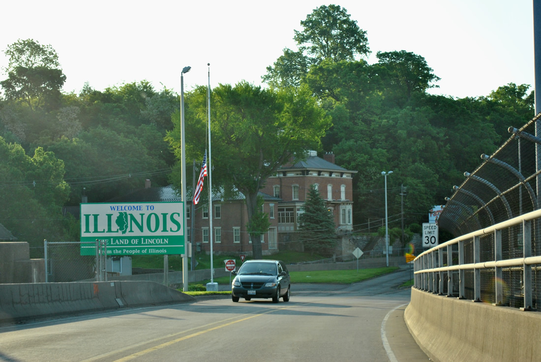
 South
South