|
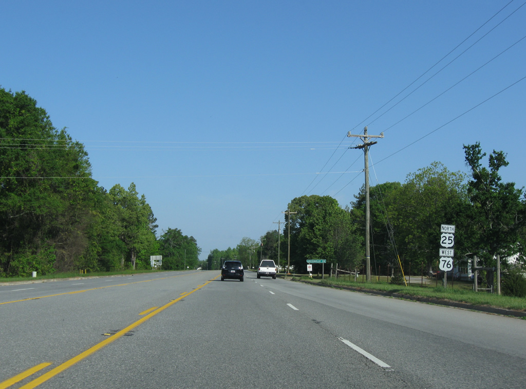
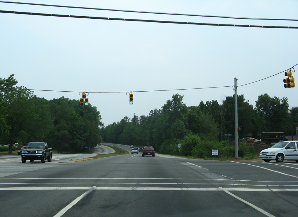
| U.S. 25 approaches U.S. 76 at the settlement of Princeton at the Greenville County line. 04/14/12 |
|
| U.S. 76 ventures west from the city of Laurens and Hickory Tavern to combine with U.S. 25 north at Princeton. 04/14/12 |
|
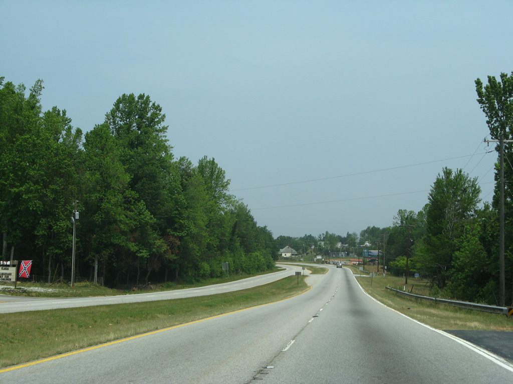
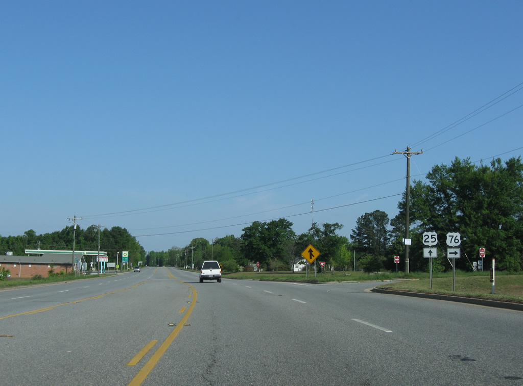
| U.S. 25 north and U.S. 76 west combine for 1.03 miles. The two part ways 27 miles south of Greenville. 04/14/12 |
|
| A half diamond interchange connects U.S. 25 (White Horse Road) with Interstate 185/U.S. 29 south at Gantt. Northbound access to the Greenville freeway spur lies nearby from S.C. 20 (Grove Road). 12/08/99 |
|
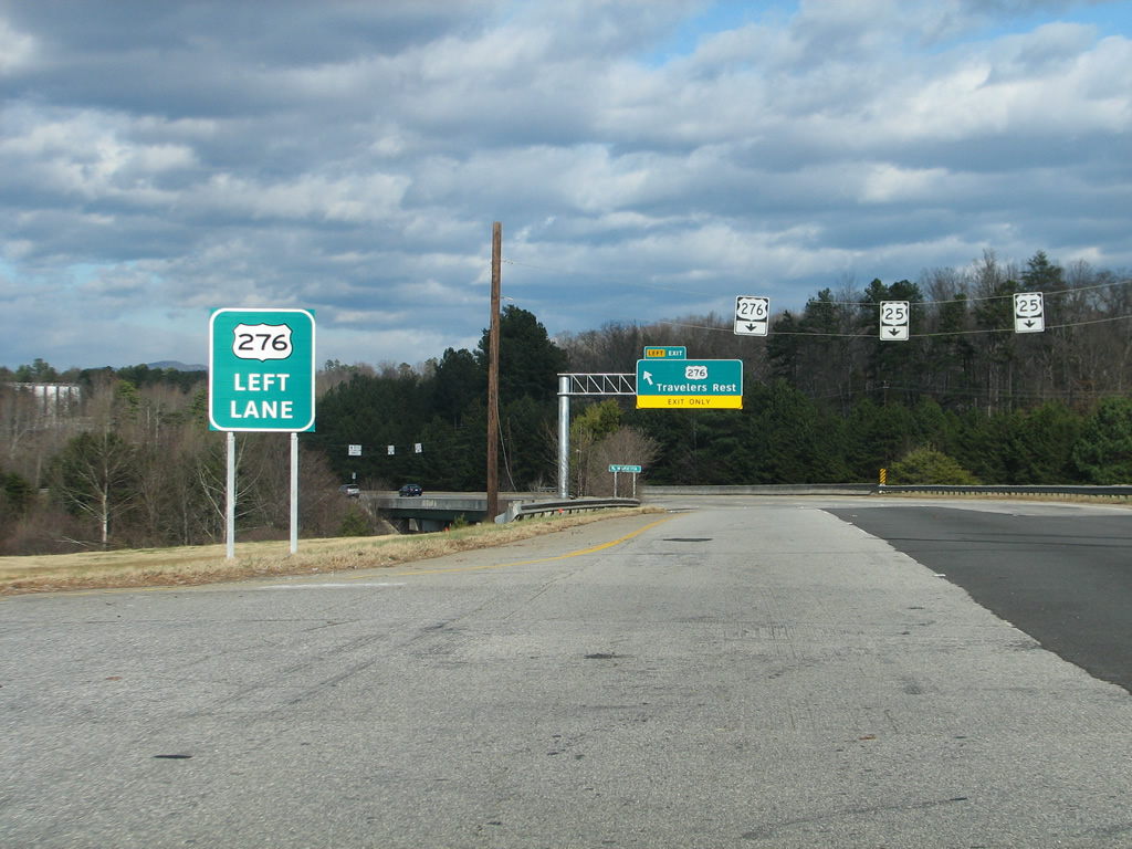
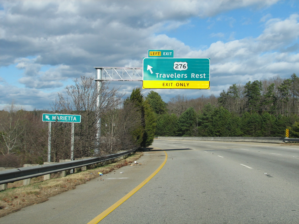
| Installed in Fall 2012, this sign precedes the wye interchange with U.S. 276 west on U.S. 25 north at Old Buncombe Road. U.S. 25/276 parallel one another briefly in south Travelers Rest. 12/21/12 |
|
| A set of shields strung on span wires follow for U.S. 276 west to Downtown Travelers Rest and for the continuation of U.S. 25 north along a commercial bypass to the east. 12/21/12 |
|
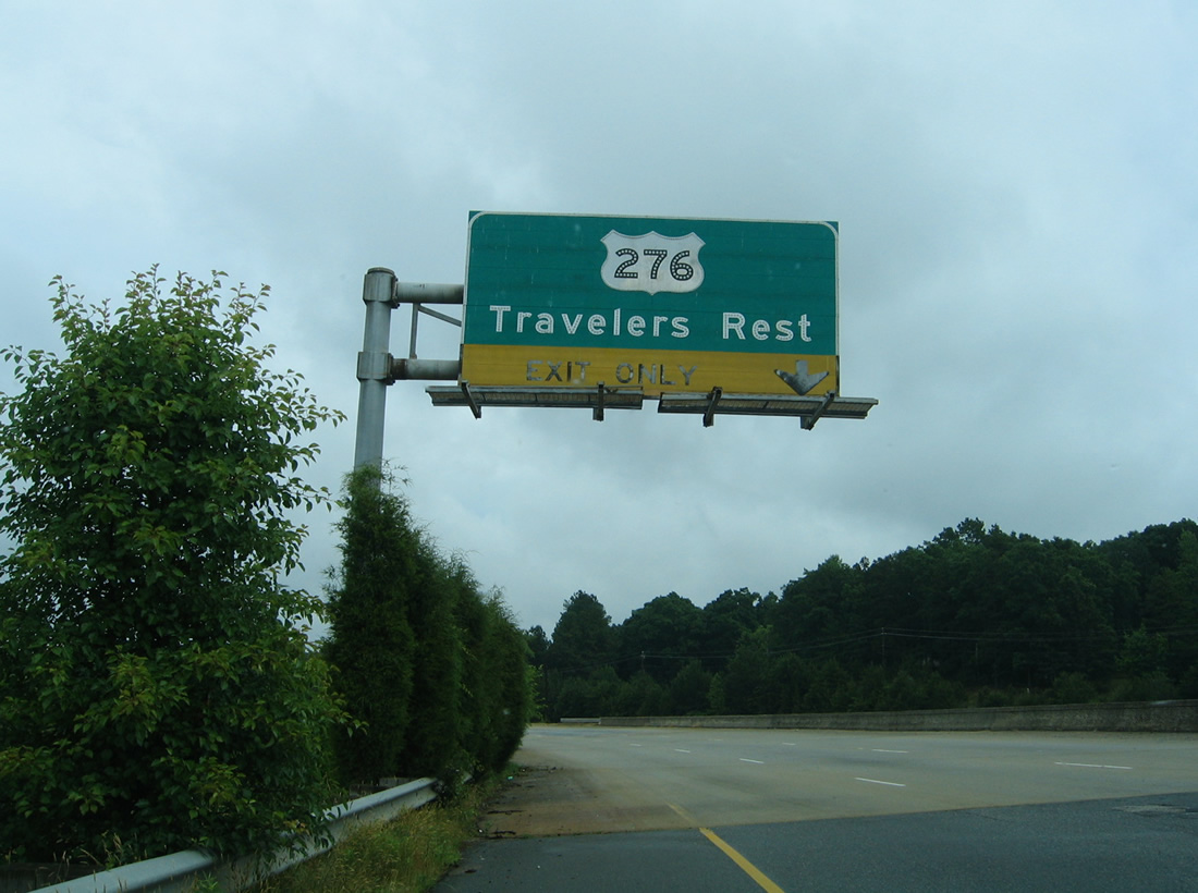
| The button copy overhead for U.S. 276 west to Travelers Rest was replaced on December 20, 2012. 05/30/05 |
|
| U.S. 276 turns northwest from U.S. 25 to Marietta, Cleveland and Caesars Head. 12/21/12 |
|
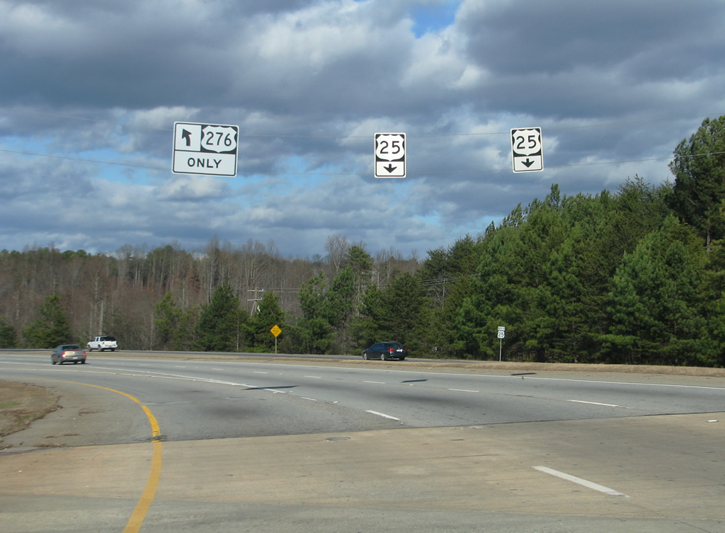
| Traffic partitions for U.S. 25 north to Lima and Hendersonville, North Carolina and U.S. 276 west to Brevard, North Carolina. 12/21/12 |
|
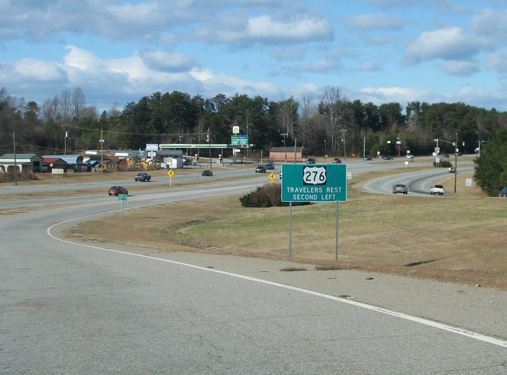
| The ramp for U.S. 276 joins Poinsett Highway just ahead of Edward Street west to Old Buncombe Road (old U.S. 276). A second wye interchange provides access to U.S. 25 north for Edward Street as U.S. 276 turns toward the Travelers Rest city center. 12/21/12 |
|
| An entrance ramp joins U.S. 25 north from U.S. 276 (Poinsett Highway) along the east side. U.S. 25 overtakes Poinsett Highway leading north from Travelers Rest. 05/31/07 |
|
| The northbound roadway of U.S. 25 travels beside U.S. 276 west and Krieger Drive, an east side frontage road. 05/31/07 |
|
| Turning eastward from the wye with U.S. 276 (S Main Street) west, U.S. 25 transitions into a retail corridor through east Travelers Rest. 05/31/07 |
|
| A traffic light follows with Roe Road west to S Main Street and Little Texas Road east to Little Texas. 05/31/07 |
|
| State Park Road also leads east to Little Texas from U.S. 25. The rural highway encircles Paris Mountain and its State Park between Travelers Rest and Greenville. 05/31/07 |
|
| West from U.S. 25, State Park Road continues to S Poinsett Highway (U.S. 25 Connector) just ahead of Main Street (U.S. 276). 05/31/07 |
|
| Hawkins Road branches east from adjacent Poinsett Highway to cross paths with U.S. 25 at a commercialized intersection en route to Bridwell Road. 07/10/10 |
|
| U.S. 25 combines with Poinsett Highway at the north end of unsigned U.S. 25 Connector. 09/29/10 |
|
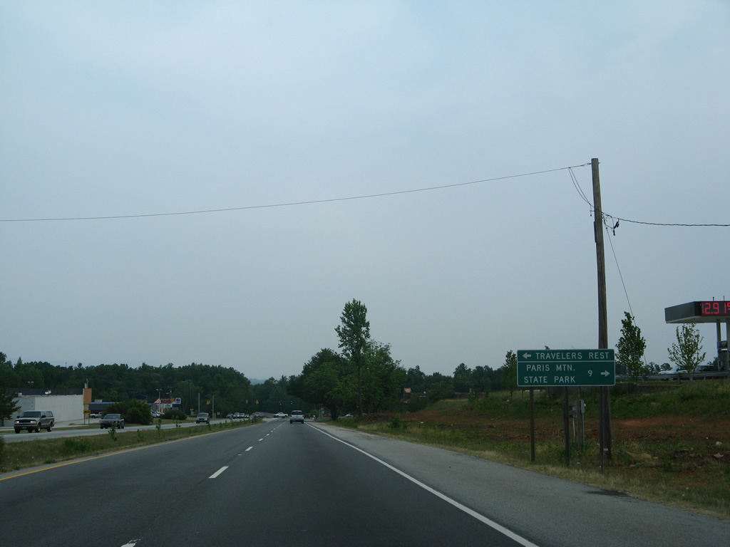
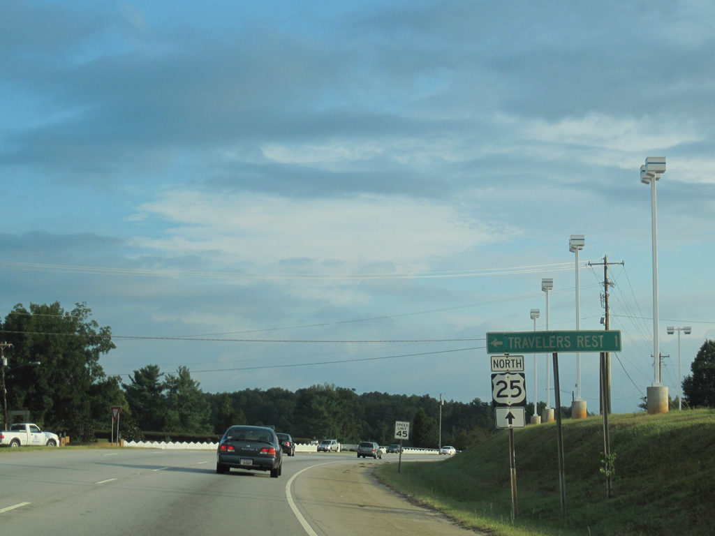
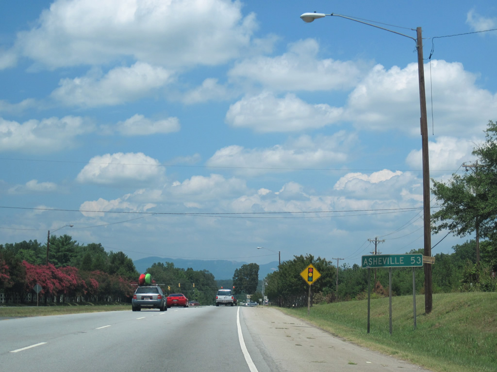
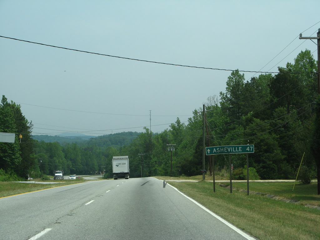
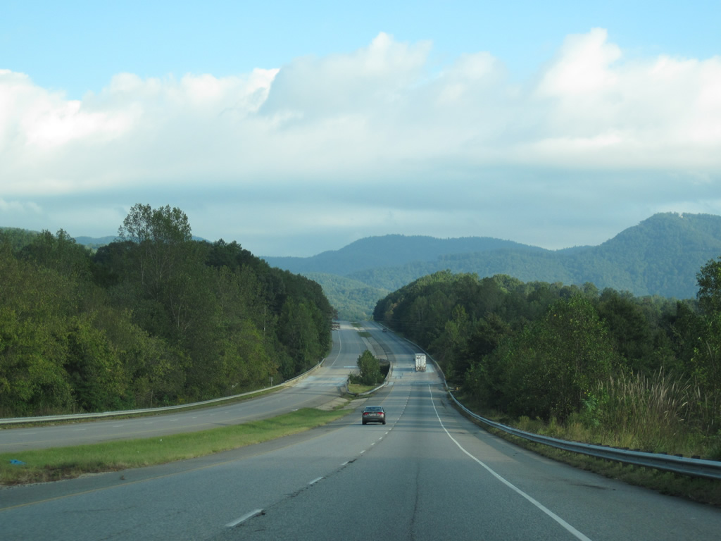
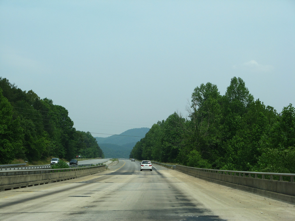
| Leaving Travelers Rest, U.S. 25 heads north 53 miles to Asheville, North Carolina. The Saluda Mountains come into view along the northern horizon. 07/10/10 |
|
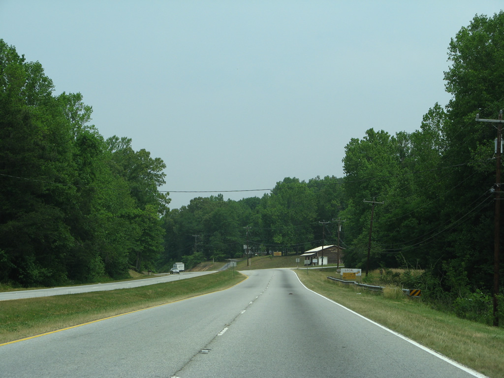
| U.S. 25 winds northward from the Enoree River into the foothills of the Saluda Mountains. 05/31/07 |
|
| Occasional stretches of U.S. 25 lose the grassy median for a brief undivided stretch. This scene looks at the roadway at Patsey Lane, a local residential street. 05/31/07 |
|
| Northbound U.S. 25 after Benson Road and ahead of Travelers Rest Speedway. 05/31/07 |
|
| A short stretch of Old U.S. 25 loops east from U.S. 25 by Glenns Lake. 05/31/07 |
|
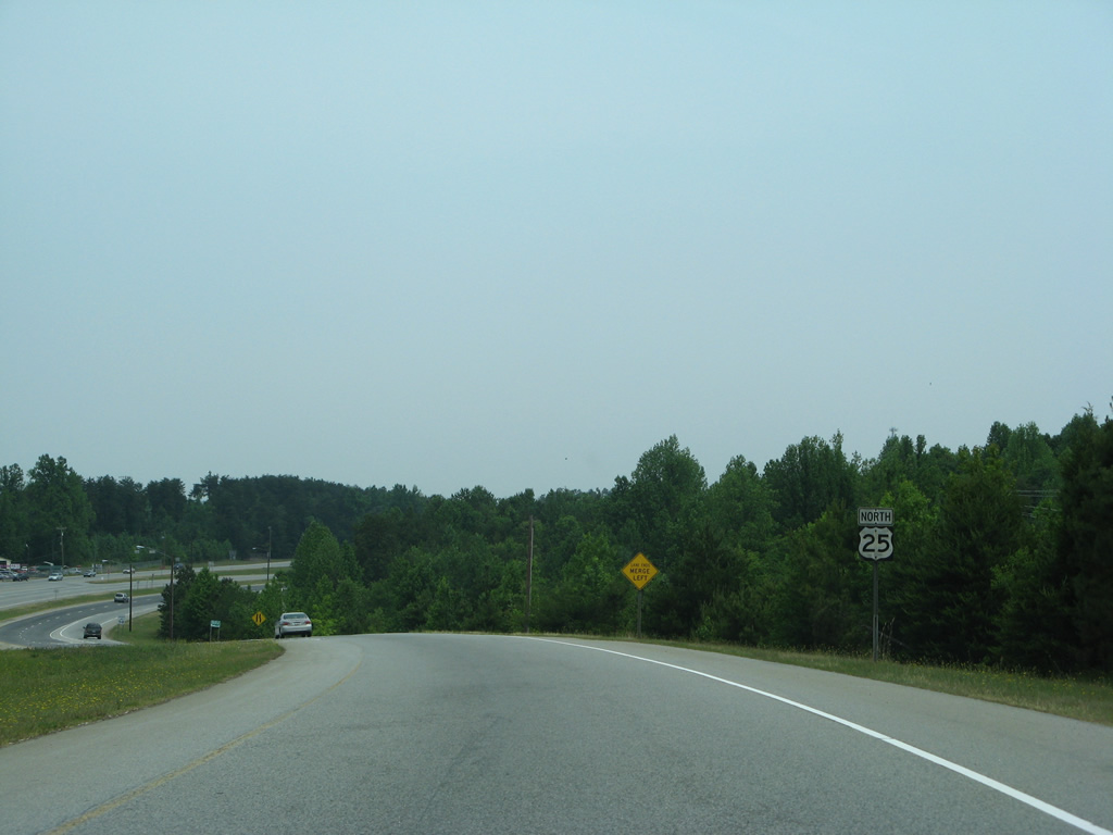
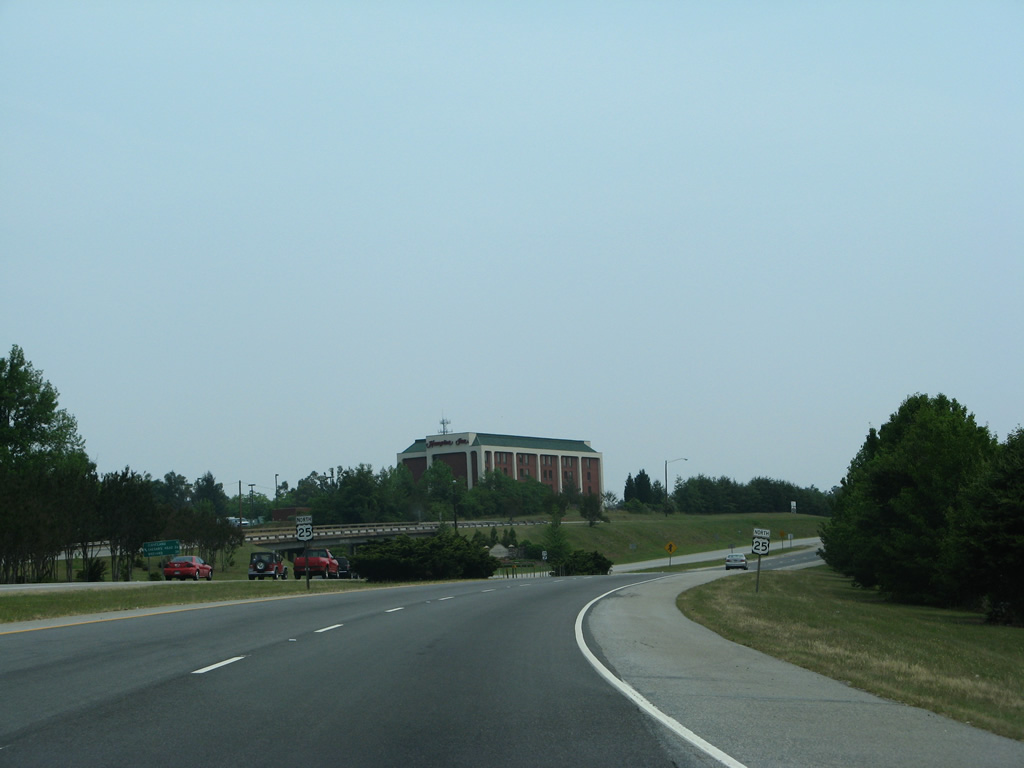
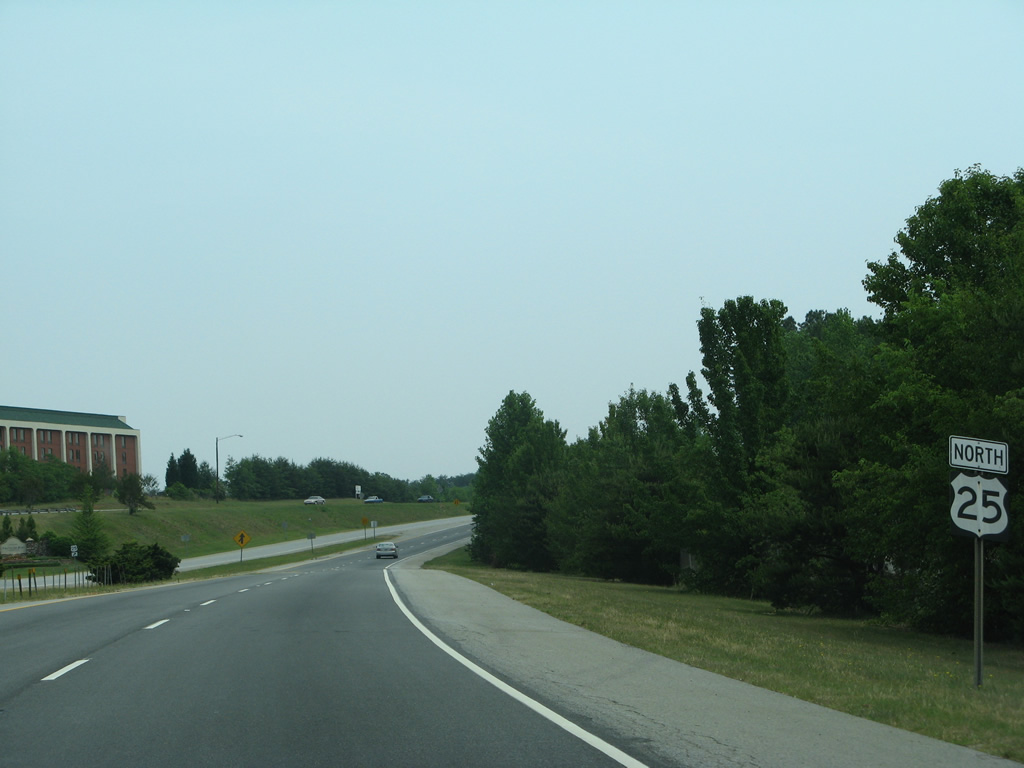
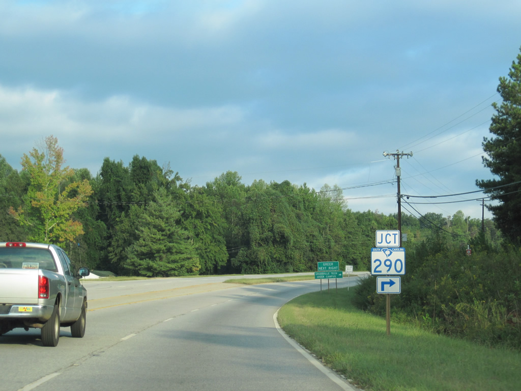
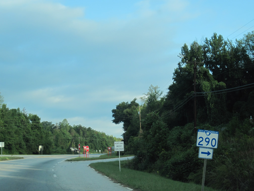
| Just west of Glenns Lake is the western terminus of S.C. 290 (Locust Hill Road) on U.S. 25 north. The 30.5 mile highway ends at U.S. 221 in Moore. 09/29/10 |
|
| S.C. 290 angles southeast from U.S. 25 to Locust Hill, Sandy Flat, Fairview and the city of Greer. 09/29/10 |
|
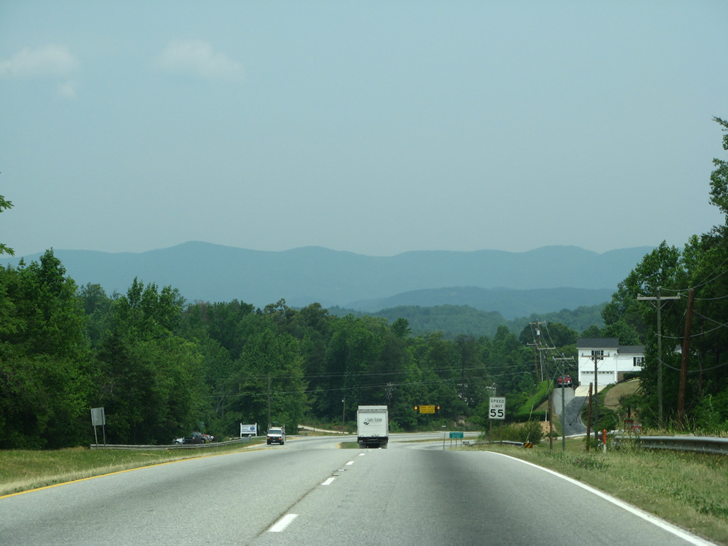
| Continuing toward the Saluda Mountains, U.S. 25 drops from S.C. 290 toward the confluence with S.C. 414. 05/31/07 |
|
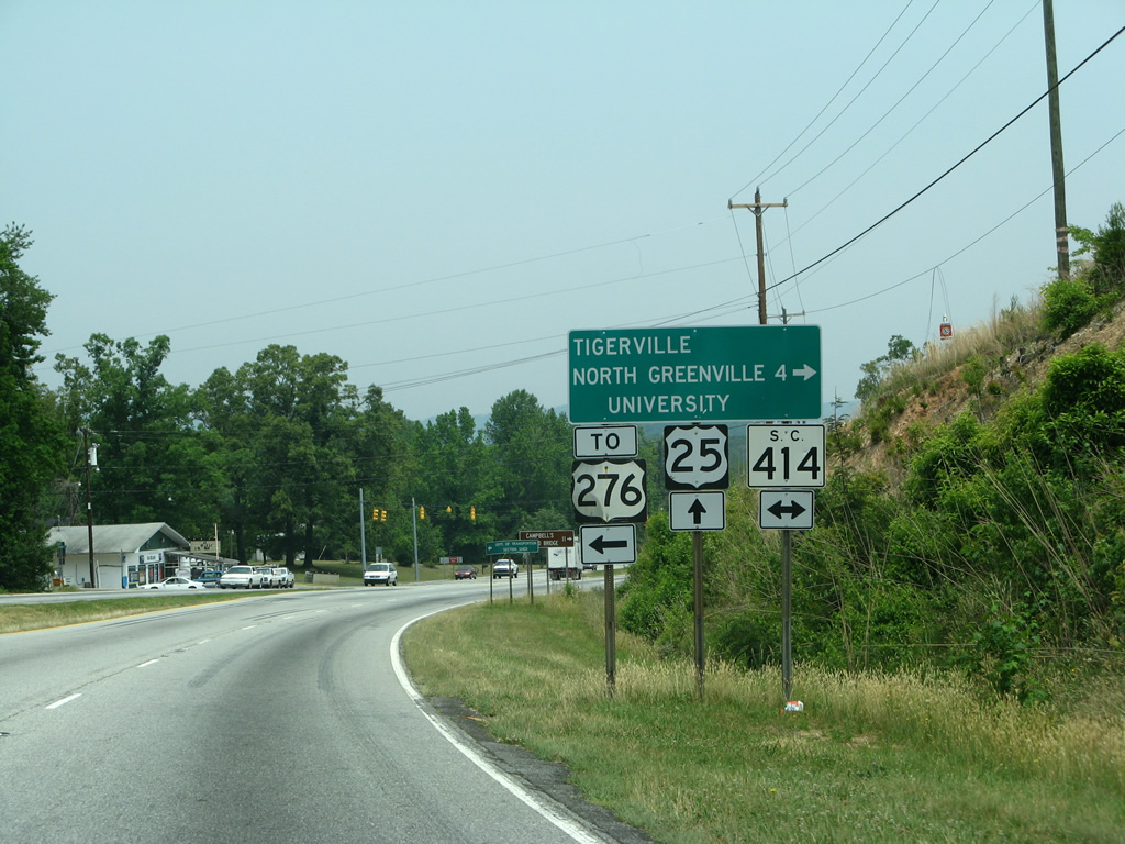
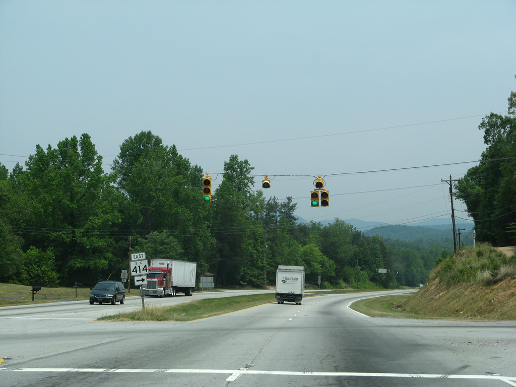
| S.C. 414 travels north along Bates Crossing Road to briefly tie into U.S. 25. The state highway heads east from a signalized intersection to Tigerville, North Greenville University and Campbell's Covered Bridge. 05/31/07 |
|
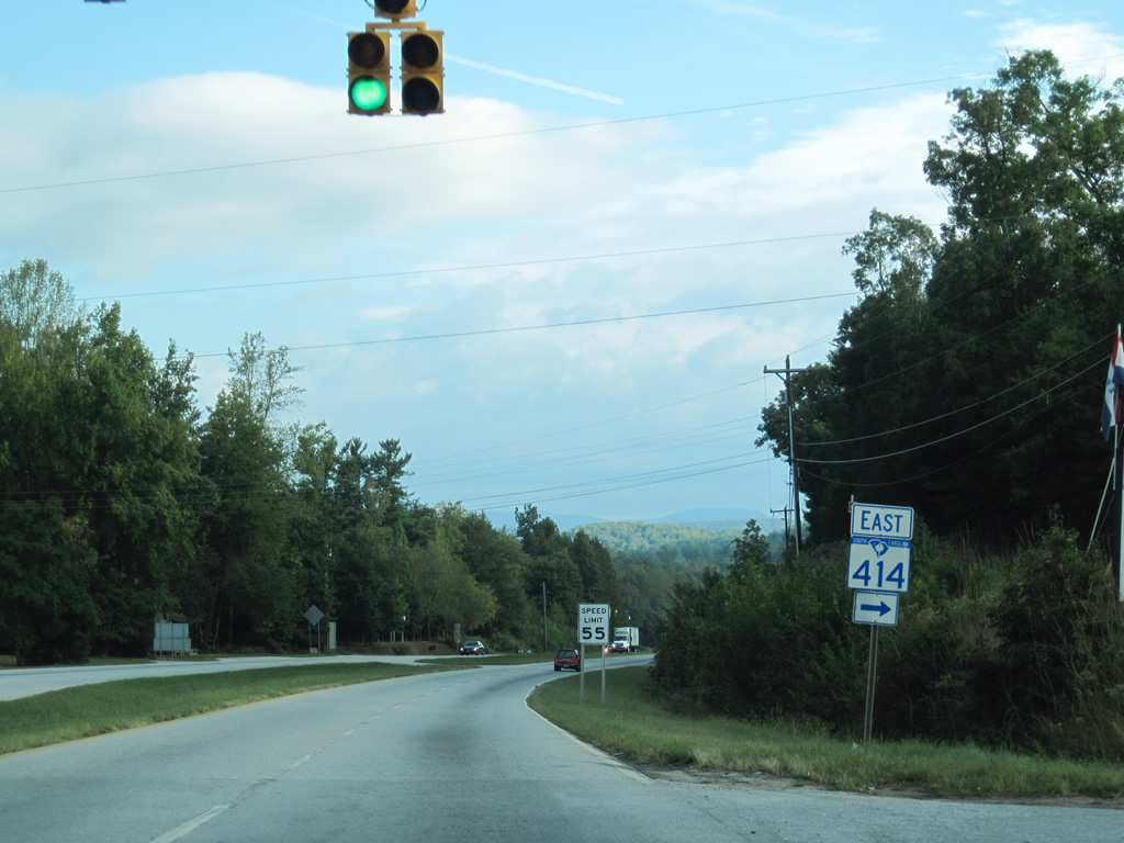
| S.C. 414 splits with U.S. 25 north for Tigerville, Highland and S.C. 14 south of Gowensville. 05/31/07, 09/29/10 |
|
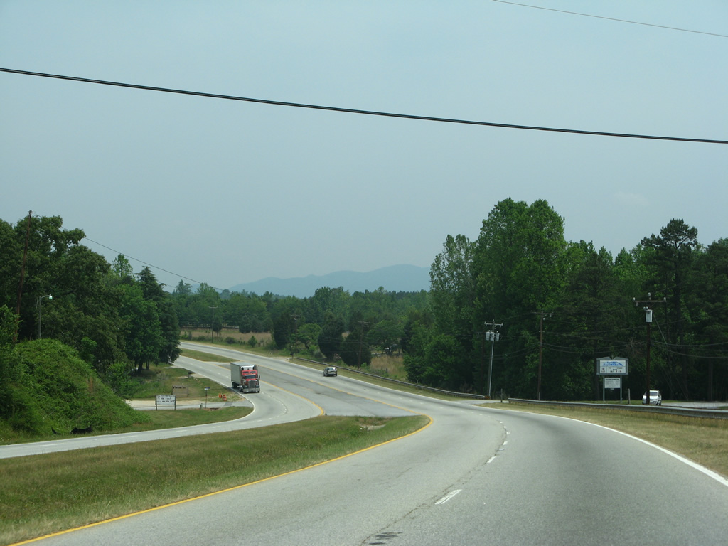
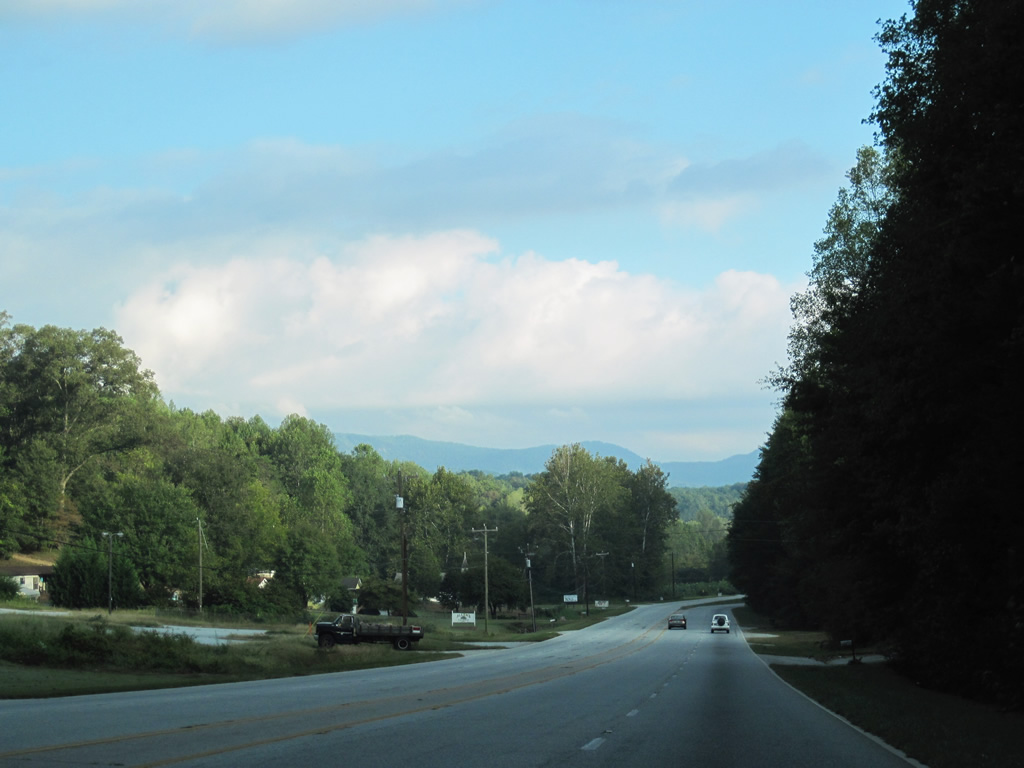
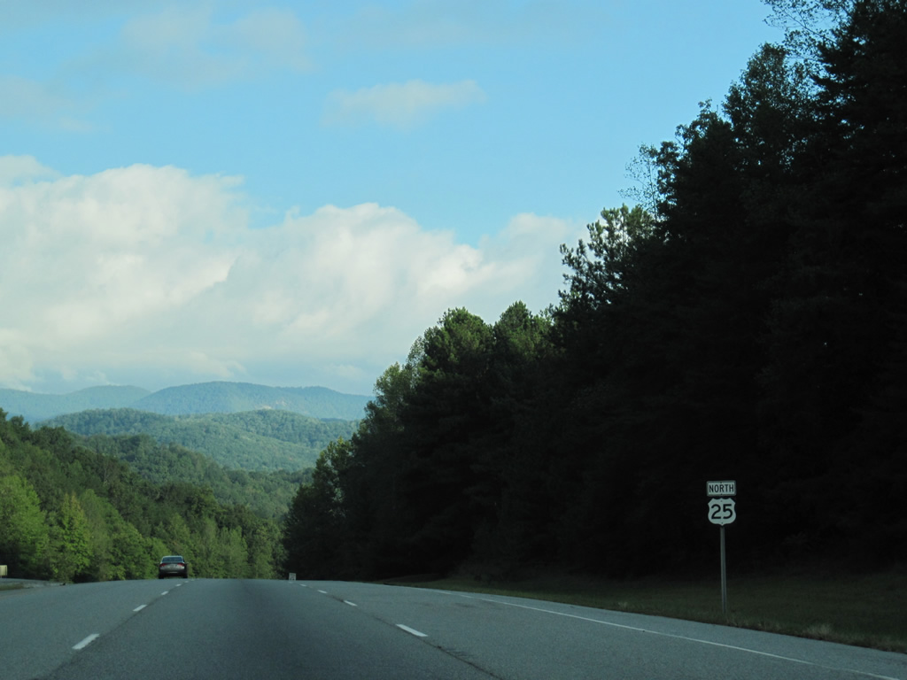
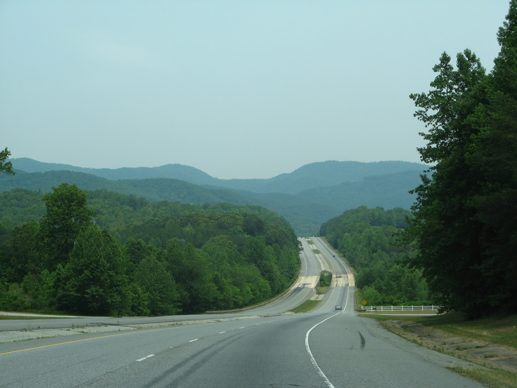
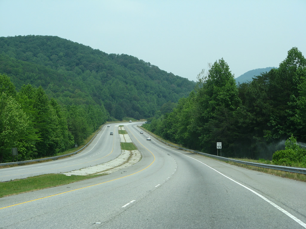
| The 47 mile drive north to Asheville becomes more hilly and less developed along U.S. 25 to the state line. 05/31/07 |
|
| U.S. 25 becomes undivided in a valley ahead of Sprigg Creek and Lima. 09/29/10 |
|
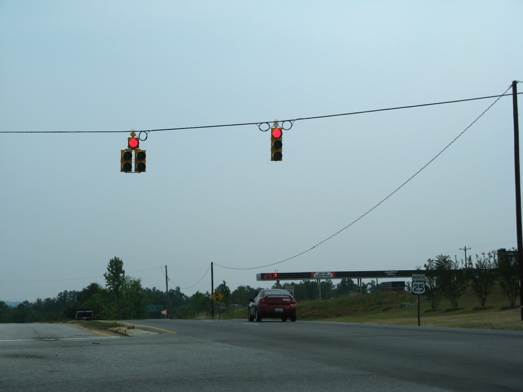
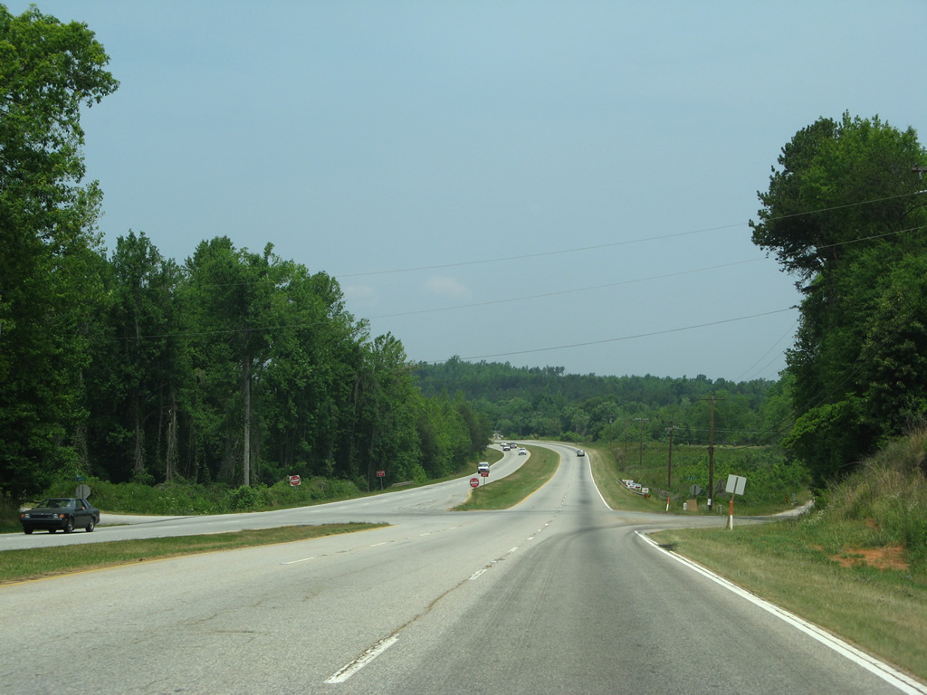
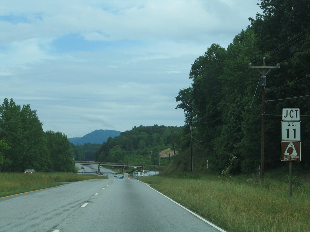
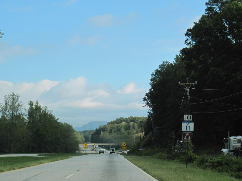
| S.C. 11 crosses paths with U.S. 25 at Lima. The 120 mile route doubles as the Cherokee Foothills Scenic Highway from its beginning at I-85 near Fair Play to Interstate 85 at Gaffney. 05/30/05, 09/29/10 |
|
| A single-quadrant interchange joins U.S. 25 with S.C. 11 (Cherokee Foothills Scenic Highway). The state highway provides a return route to U.S. 276 east to Marietta. 05/31/07 |
|
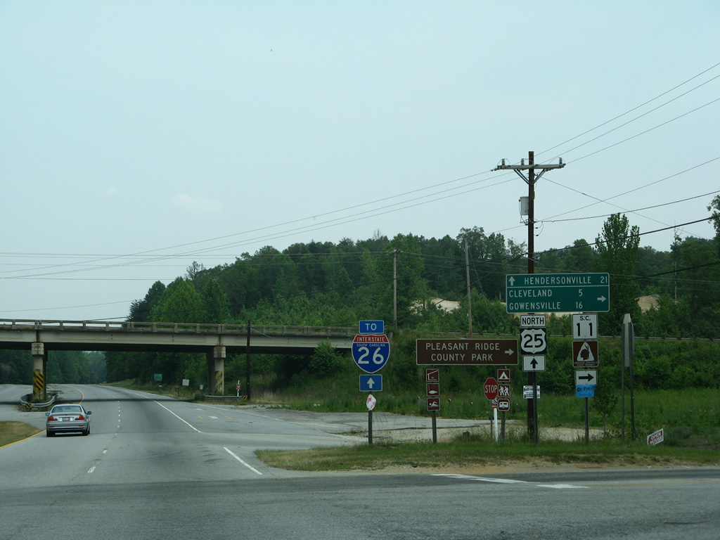
| An Interstate 26 trailblazer was posted at the turn for S.C. 11 for U.S. 25 north. It was removed by 2012. S.C. 11 otherwise travels west to Pleasant Ridge State Park, Cleveland and Table Rock and east to Gowensville, Campobello and Exit 5 of I-26. 05/31/07 |
|
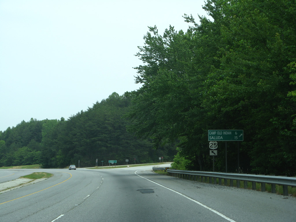
| A pre-1973 alignment of U.S. 25 loops east from U.S. 25 just north of Lima. The winding two lane route branches northeast to North Saluda Reservoir and Chestnut Springs before returning to U.S. 25 at Tuxedo, North Carolina. Saluda Road north from Old U.S. 25 provides a direct route to Saluda, NC. 05/31/07, 09/29/10 |
|
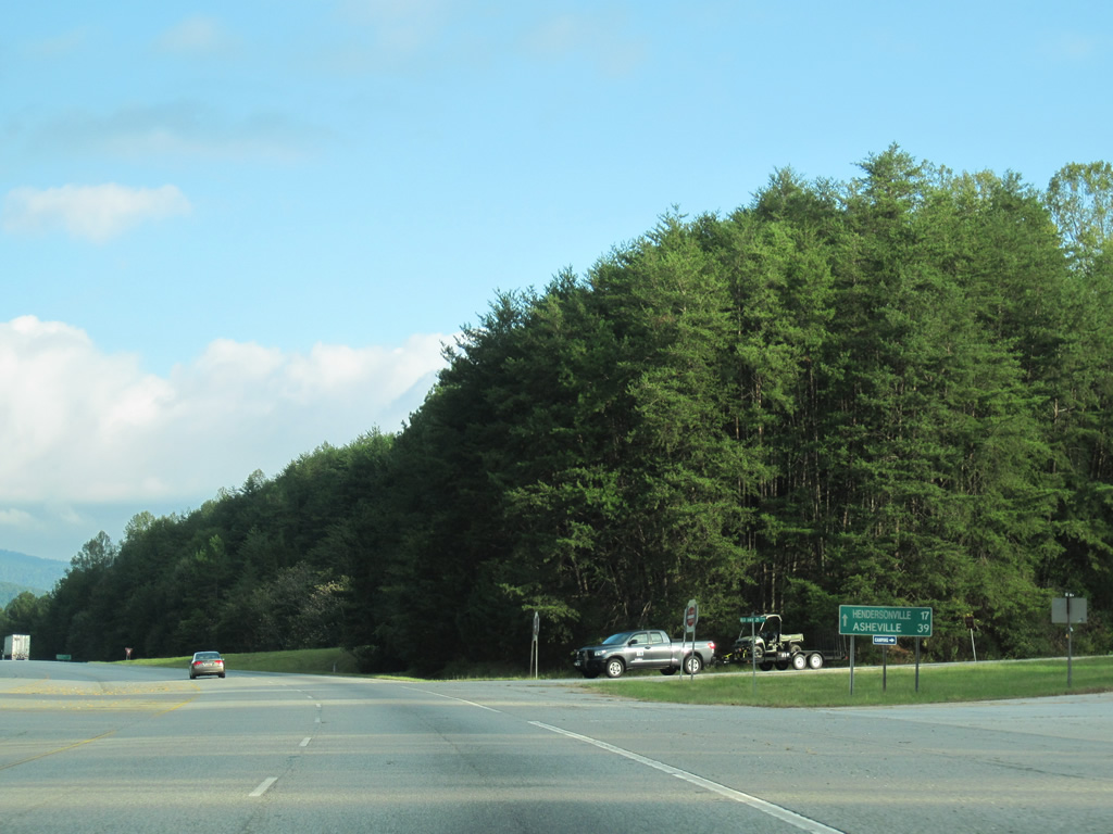
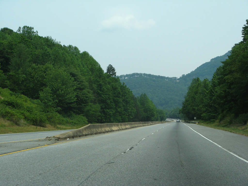
| Lowering into a valley fed by the North Saluda River, U.S. 25 continues 17 miles to Hendersonville and 39 miles to Asheville. 05/30/05, 09/29/10 |
|
| Scenery unfolds along the U.S. 25 expressway to the North Saluda River. The North Saluda River originates in the Blue Ridge Mountains and flows southward through Marietta to combine with the South Saluda River west of Travelers Rest. 05/31/07, 09/29/10 |
|
| Crossing the Saluda River along U.S. 25 north. The Saluda River extends 200 miles southeast from the confluence of its forks along the Greenville / Pickens County line to Columbia, where it joins the Broad River as the Congaree River. 05/31/07 |
|
| Beaver Dam Road passes under U.S. 25 as the expressway climbs to 1,800 feet in elevation east of High Spur Knob. 05/31/07 |
|
| A barrier median begins north of Knightsridge Road, the entrance to the Cliffs Valley golf course community. 05/31/07 |
|
| A reassurance shield follows on the stretch leading toward Panther Mountain. 05/31/07 |
|
| The final intersection in South Carolina ties U.S. 25 with Gap Creek Road southwest to Gap Creek, River Falls and Jones Gap State Park. 05/31/07 |
|
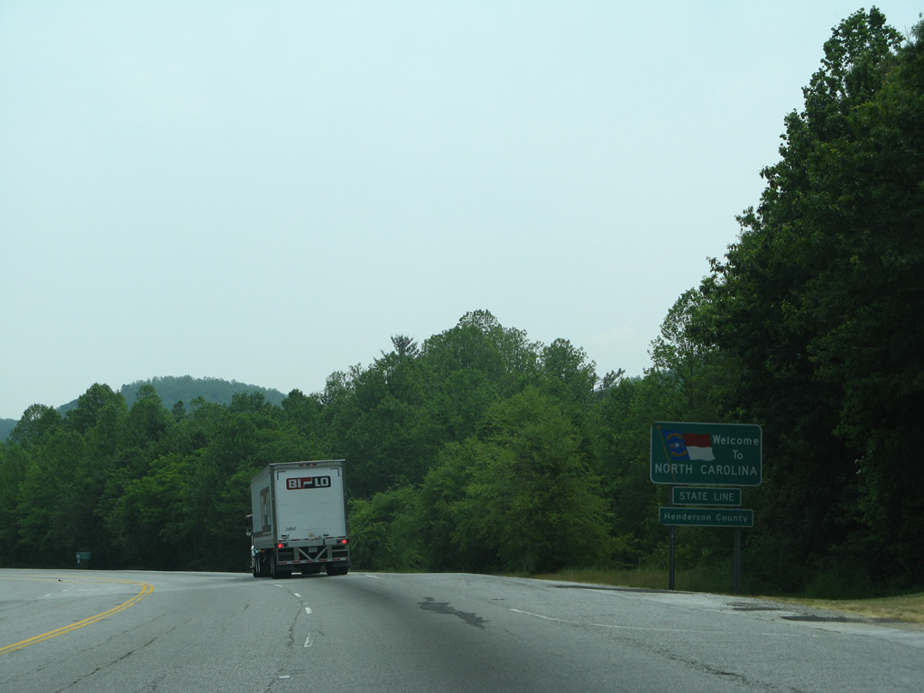
| Traveling a valley between Frank and Panther Mountains, U.S. 25 crosses the North Carolina state line at 2,210 feet above sea level. 05/31/07 |
Page Updated 10-02-2013.

 North
North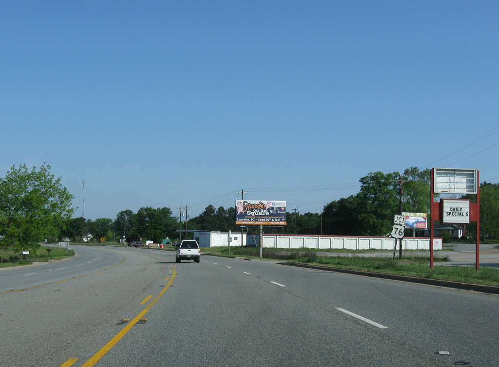
 West
West