|
| Ascending across the CSX Railroad, U.S. 29 north enters Flomaton, Alabama. State Route 113 commences here. 11/25/01 |
|
| Built in 1968, the bridge spanning the CSX Railroad lowers into the Flomaton street grid beyond Ringgold Street. 06/21/05 |
|
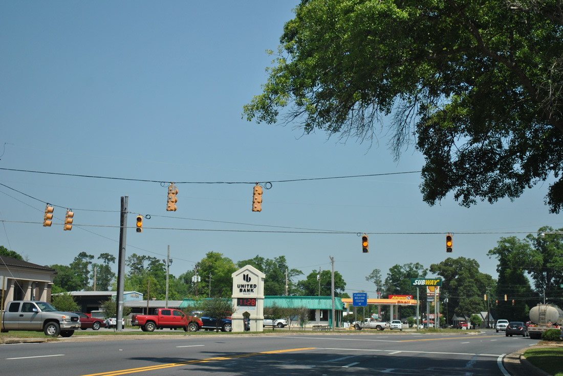
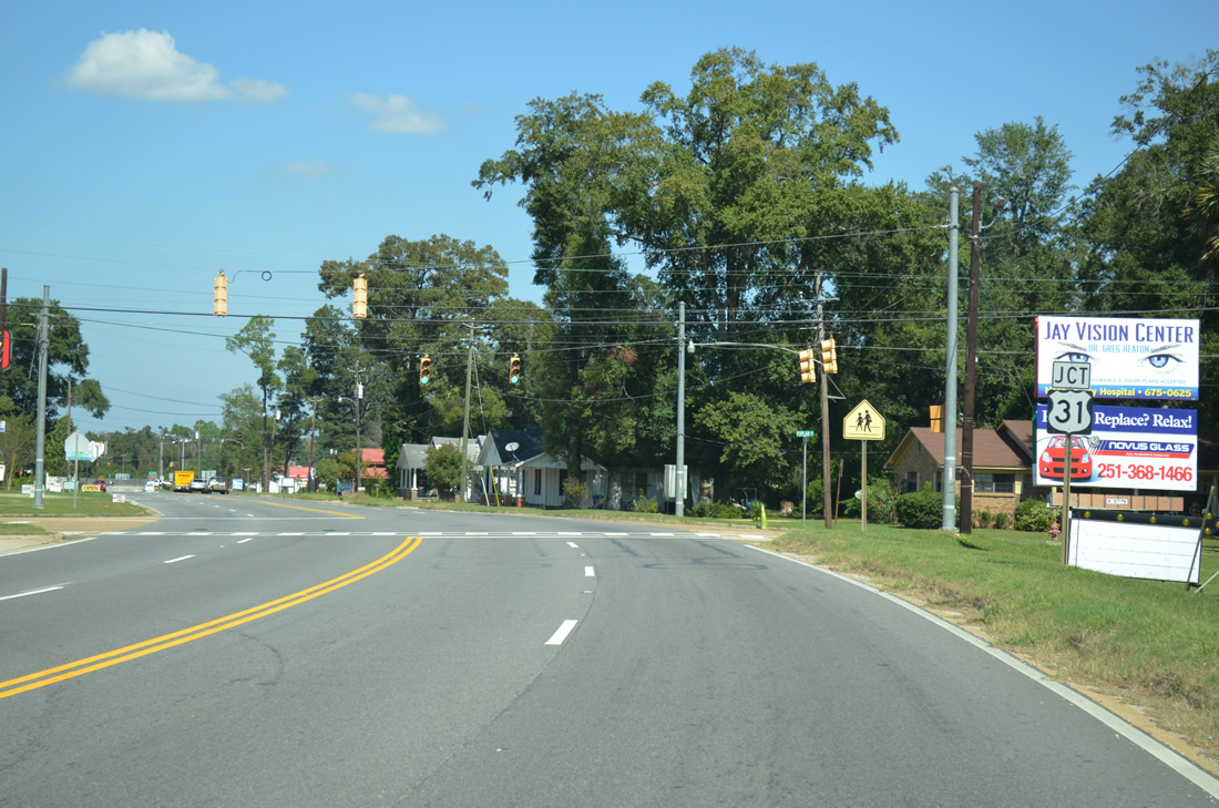
| College Street heads two blocks west from McCurdy Street to intersect U.S. 29/ SR 113 (Flomaton Boulevard) at this traffic signal. CR 2 lines College Street west, becoming Old Atmore Road en route to U.S. 31 near Wawbeek. 04/13/12 |
|
| Poplar Street links U.S. 23/SR 113 (Sidney E. Manning Boulevard) with parallel Palafox Street just south of U.S. 31. 10/06/12 |
|
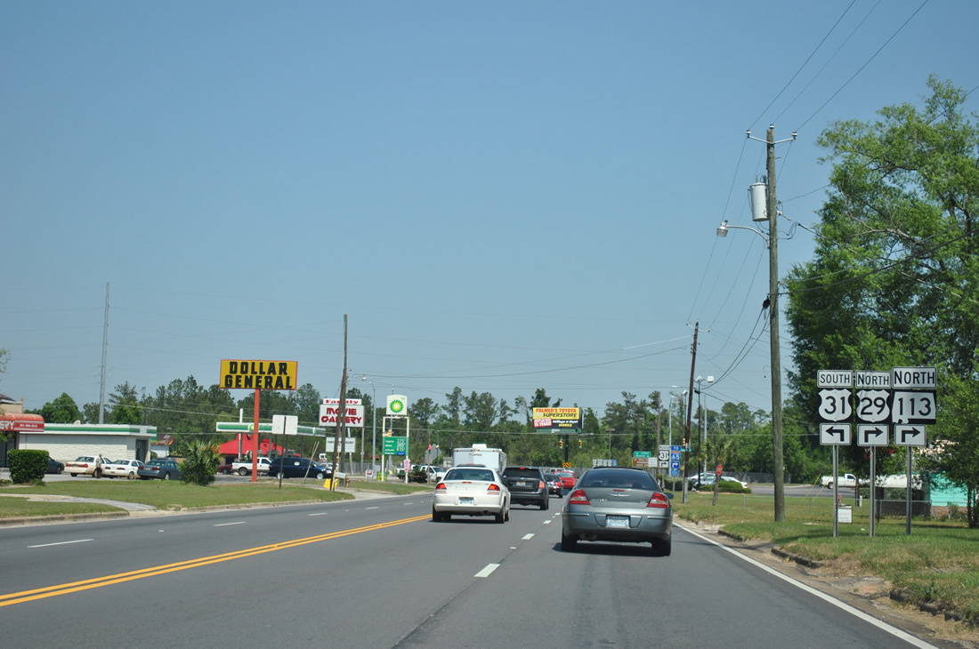
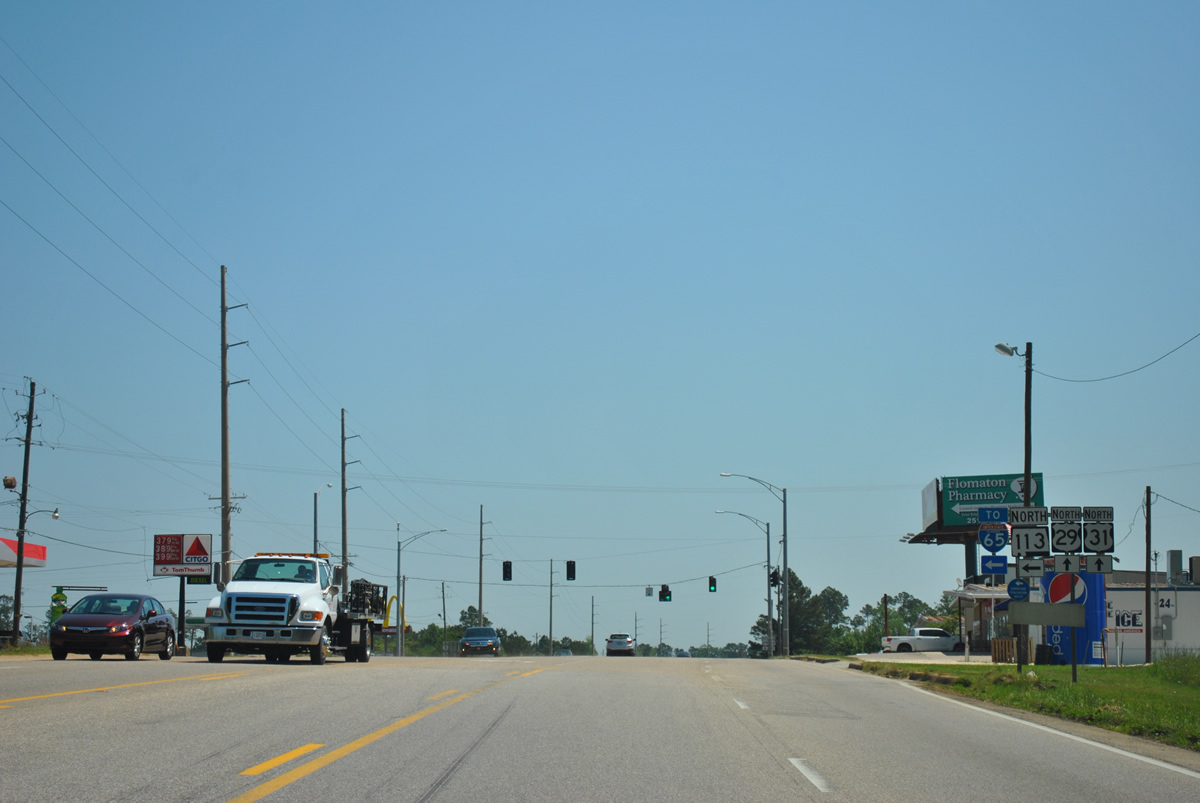
| U.S. 29/SR 113 combine with U.S. 31 eastward for 1.14 miles. U.S. 31 travels west from Flomaton 14 miles to Atmore. 04/13/12 |
|
| This intersection where U.S. 29/SR 113 join U.S. 31 represents the historic north end of U.S. 331. Until 1934, U.S. 331 constituted a short route from Pensacola, Florida to Flomaton. It was replaced by a southward extension U.S. 29. 04/13/12 |
|
| U.S. 29/31-SR 113 confirming markers posted at Palafox Street. The three way overlap in Flomaton was expanded from two to five lanes in 2002. 04/13/12 |
|
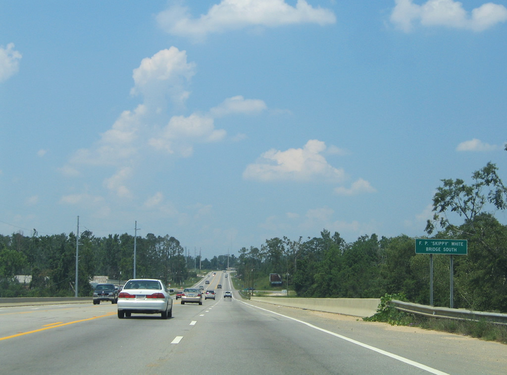
| U.S. 29/31-SR 113 cross Big Escambia Creek over the F.P. "Skippy" White Bridge South. 06/21/05 |
|
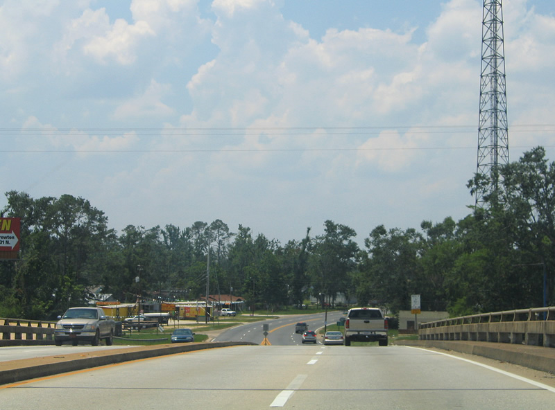
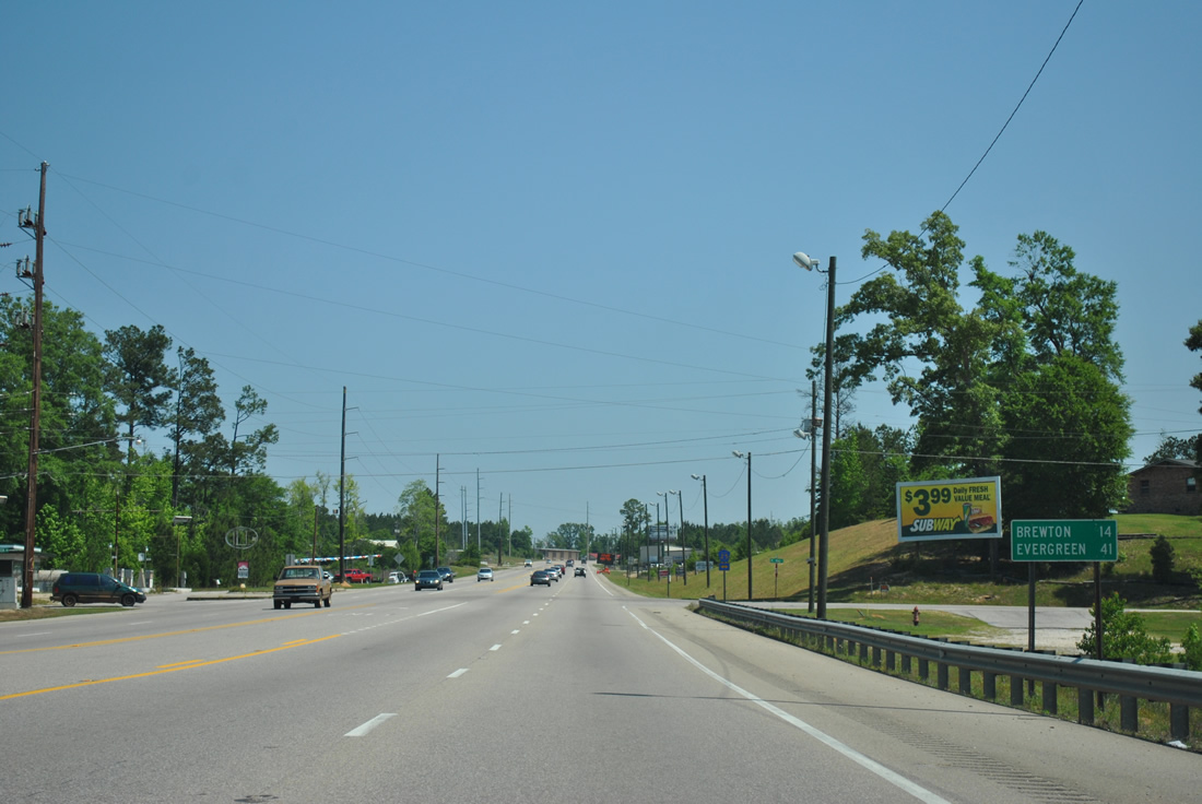
| Northbound distance sign posted 14 miles southwest of the U.S. 29/31 split at Brewton. Evergreen is 41 miles away via U.S. 31. 04/13/12 |
|
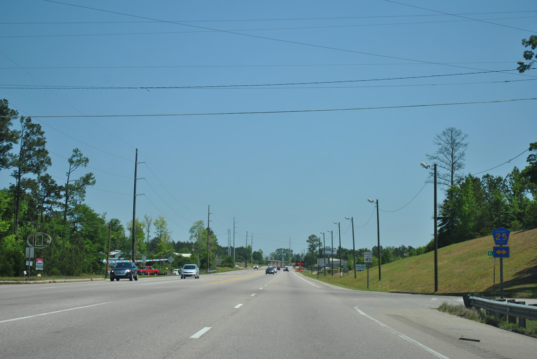
| Escambia County Route 25 stems north from Railroad Street / Van Hoosen Road in Flomaton to CR 17/27 at Stanley Crossroads. 04/13/12 |
|
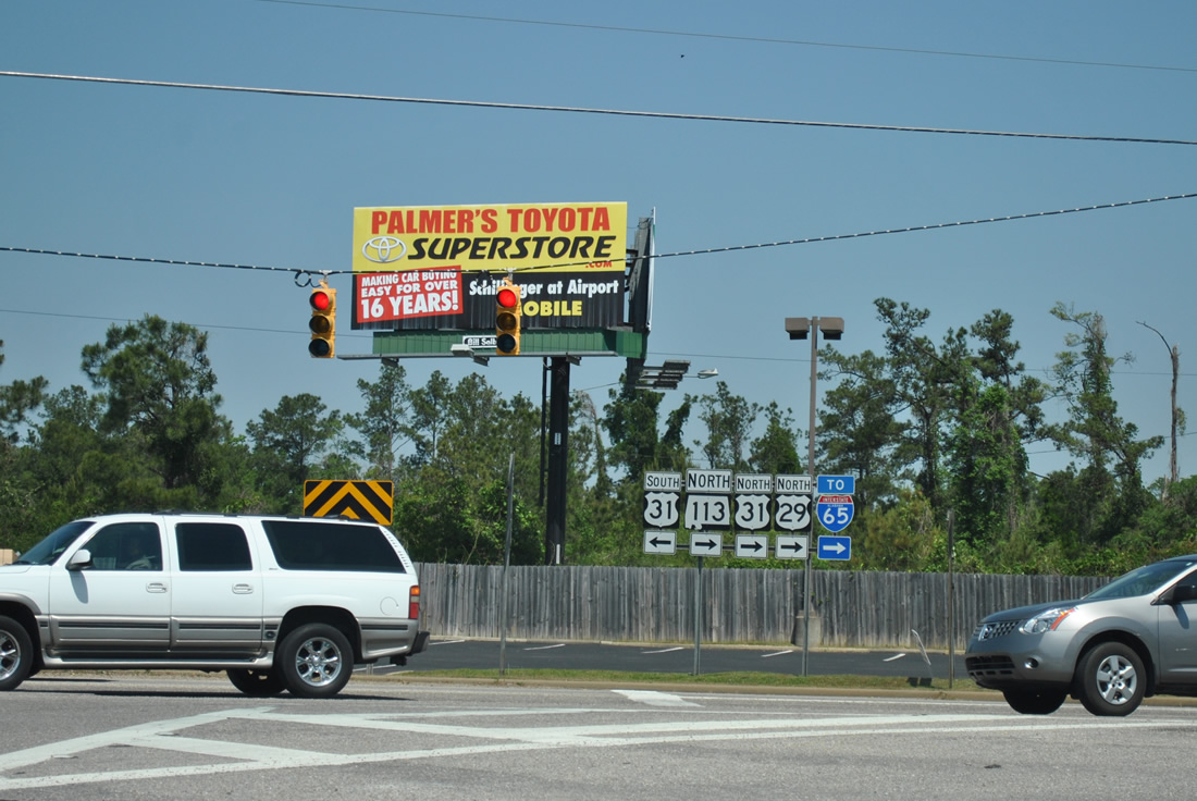
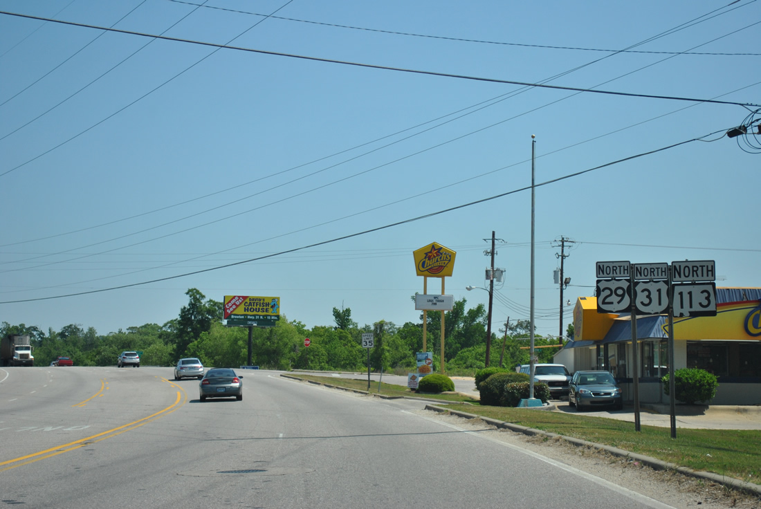
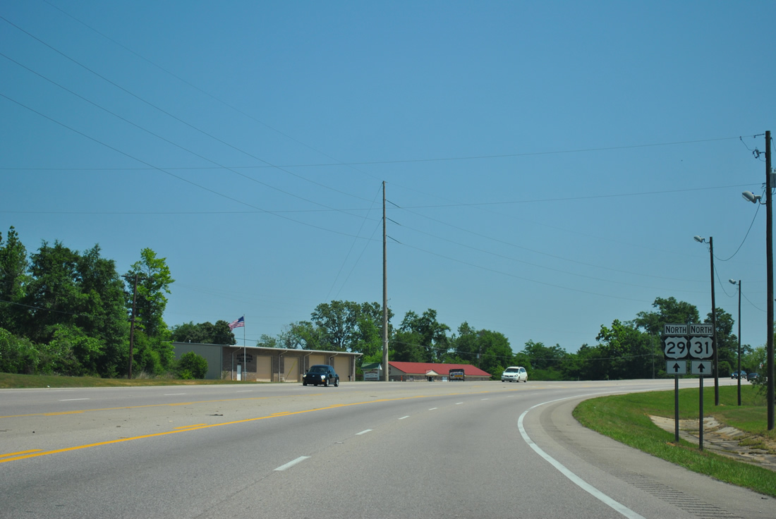
| U.S. 29/31-SR 113 arc northeast ahead of their separation in north Flomaton. U.S. 29/ 31 continue east toward Pollard and McCall. 04/13/12 |
|
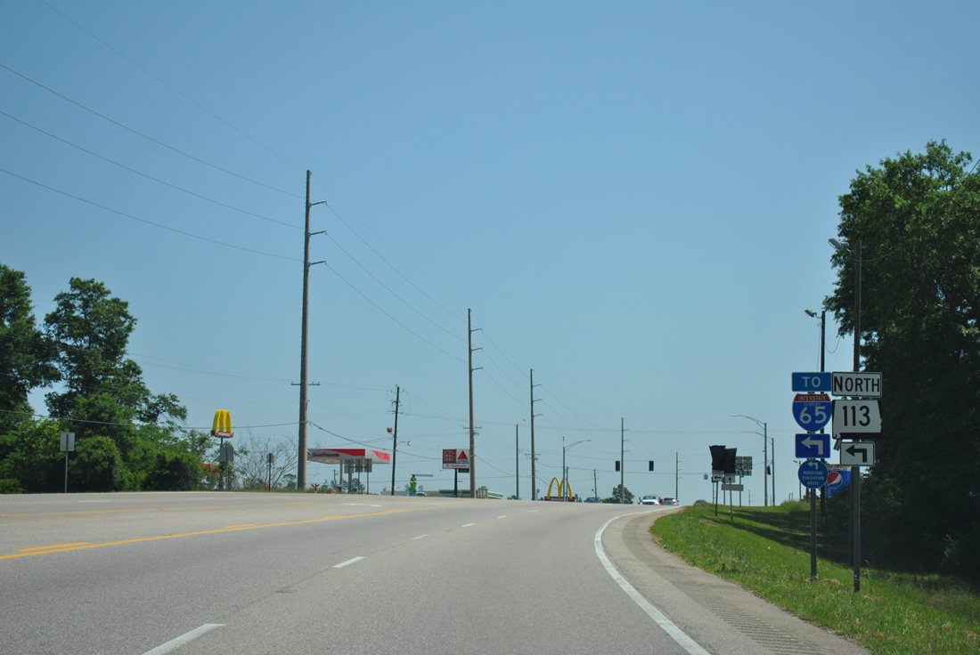
| SR 113 constitutes one of two four lane highways north to Interstate 65 in Escambia County. Construction widening SR 113 north from Flomaton to I-65 at Exit 69 took place between September 11, 2007 and November 12, 2008. 04/13/12 |
|
| SR 113 travels 13.51 miles from U.S. 29/31 at Flomaton to I-65 and CR 17 near Barnett Crossroads. The four lane highway is the northern leg of the main hurricane evacuation route for Pensacola, Florida. 04/13/12 |
|
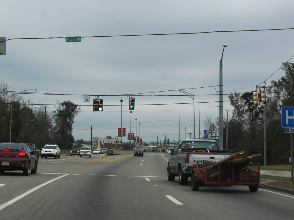
| Alco Drive, the original alignment of U.S. 29/31 through southwest Brewton, ties into U.S. 29/31 (South Boulevard) ahead of Burnt Corn Creek. 12/05/09 |
|
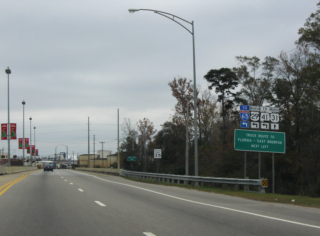
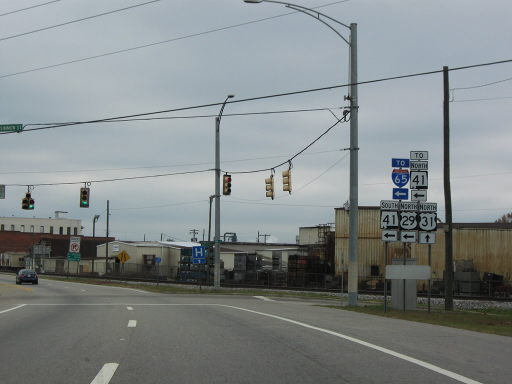
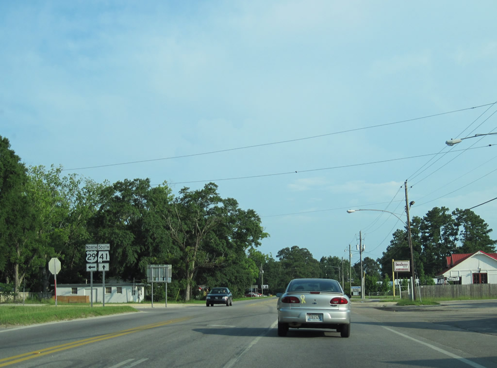
| The CSX Railroad runs along the south side of U.S. 29/31 (South Boulevard) from Burnt Corn Creek to SR 41 (St. Nicholas Avenue). Due to the tight turning radius at Mildred Street, a truck route for U.S. 29 north utilizes parallel Persimmon Street to SR 41 south. 12/05/09 |
|
| Persimmon Street parallels from U.S. 29/31 (South Boulevard) at Ann Avenue to SR 41 (St. Nicholas Avenue), one block north of St. Joseph Avenue. The access road also connects with SR 41 north. 12/05/09 |
|
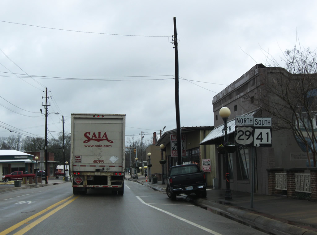
| U.S. 29 turns southward with SR 41 onto Mildred Street from U.S. 31 (St. Joseph Avenue) in Downtown Brewton. U.S. 31 continues en route to the Conecuh County seat of Evergreen and U.S. 84 while SR 41 and U.S. 29 lead southeast 1.25 miles into East Brewton. 12/05/09 |
|
| U.S. 29 joins SR 41 (Mildred Street) south from U.S. 31 (St. Joseph Avenue) 7.79 miles from the Florida state line. 02/12/10 |
|
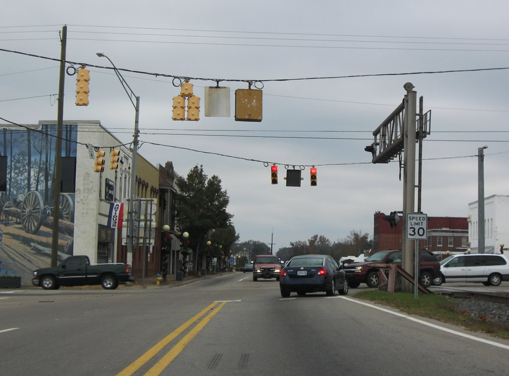
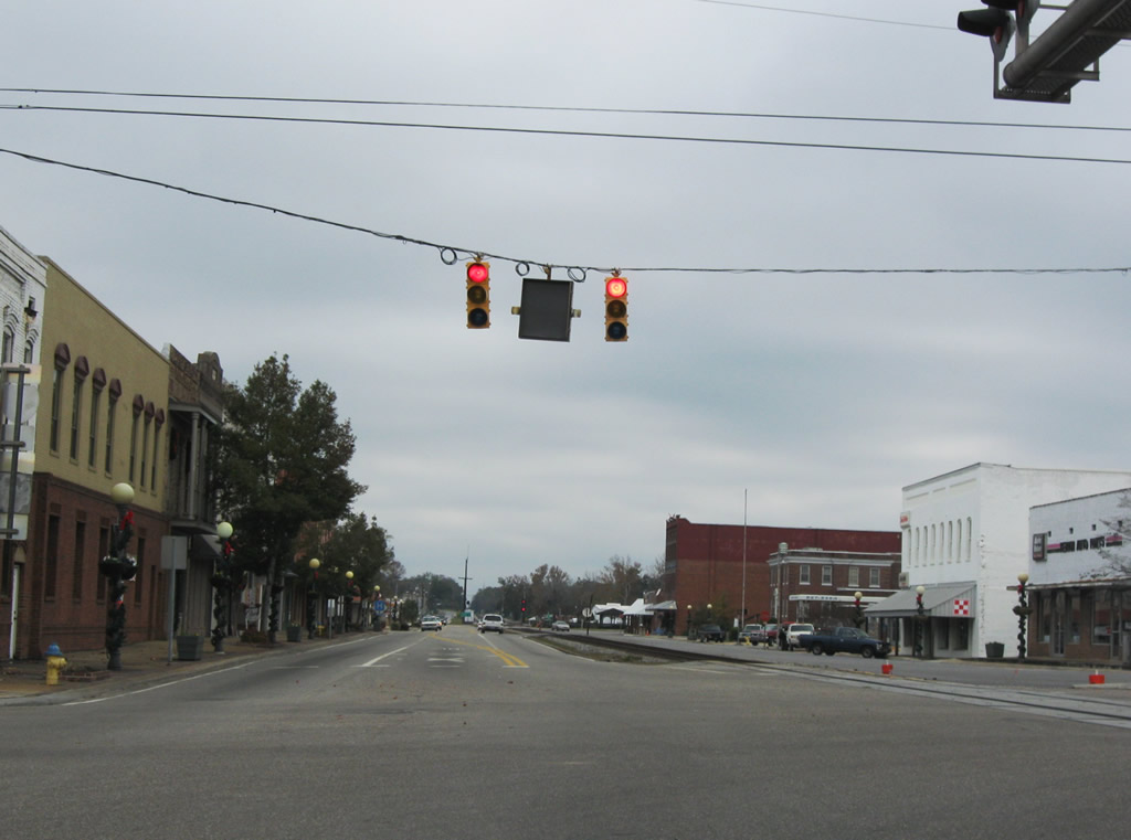
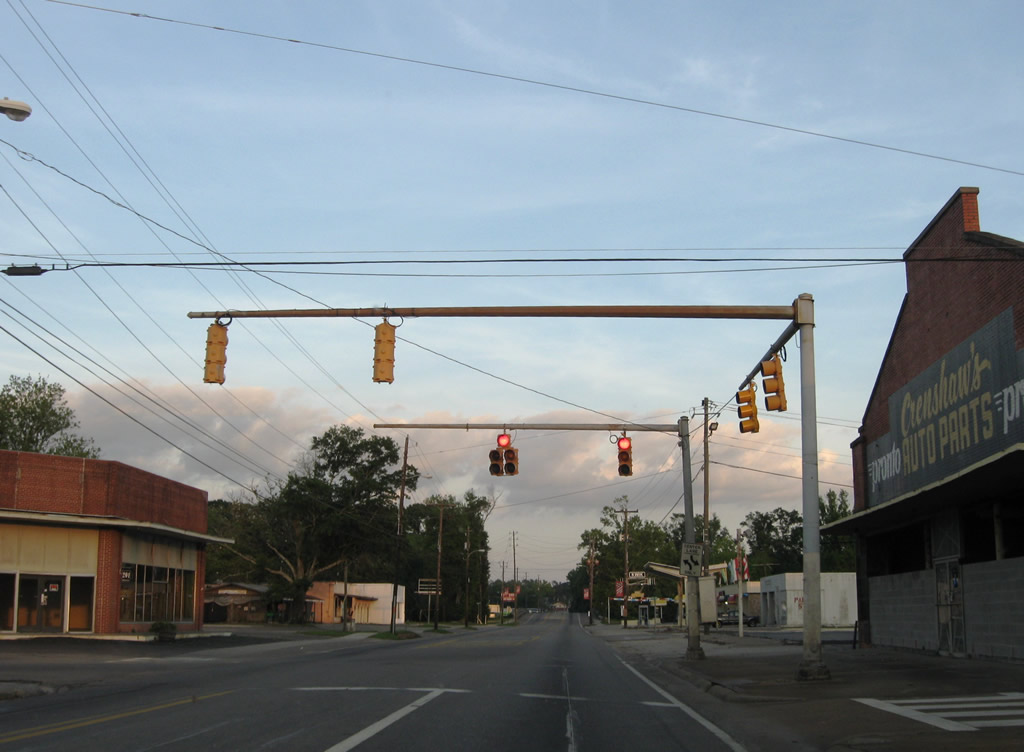
| Green Street meets Mildred Street at this signalized intersection in the Brewton central business district. 05/09/09 |
|
| U.S. 29 north / SR 41 south span Murder Creek and leave Brewton for East Brewton. 05/09/09 |
|
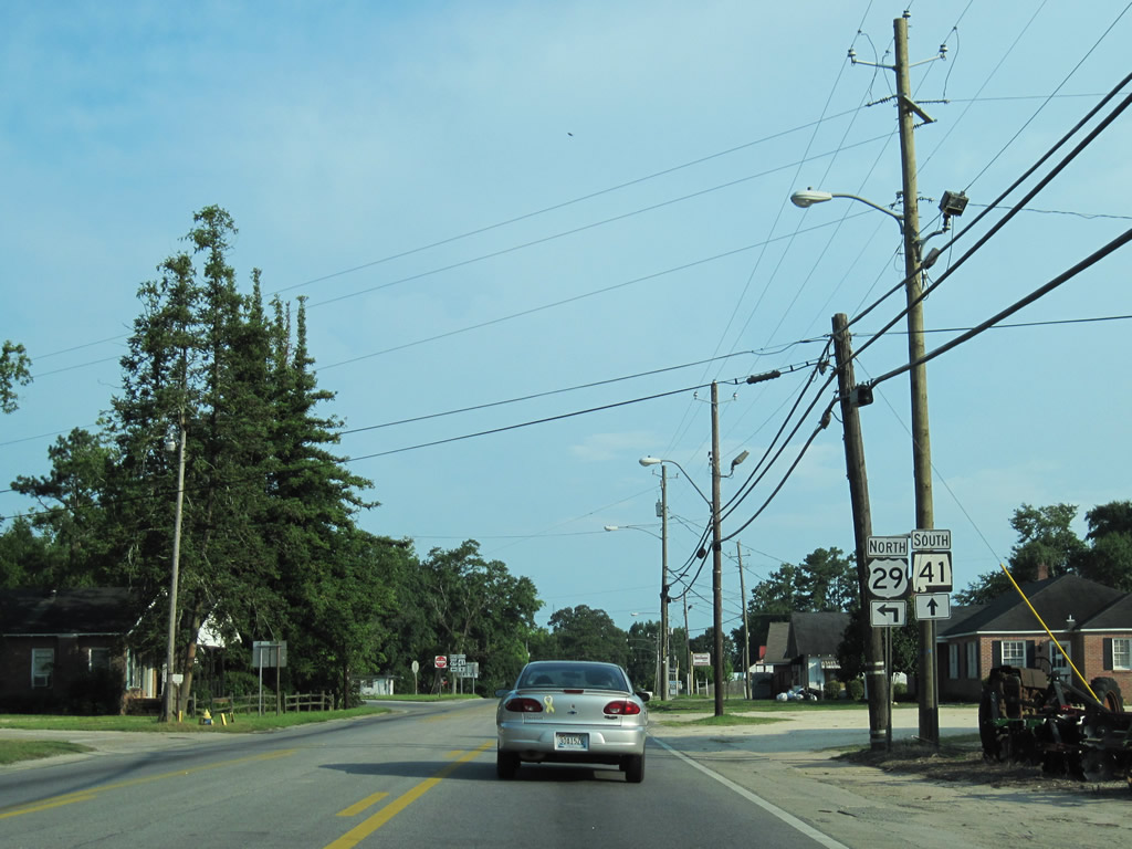
| U.S. 29/SR 41 part ways at the south end of unsigned SR 15. SR 15 takes over for SR 41 as the counterpart of U.S. 29 northward to the Georgia state line. 05/09/09 |
|
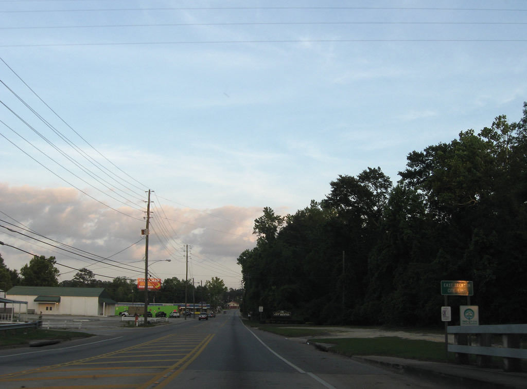
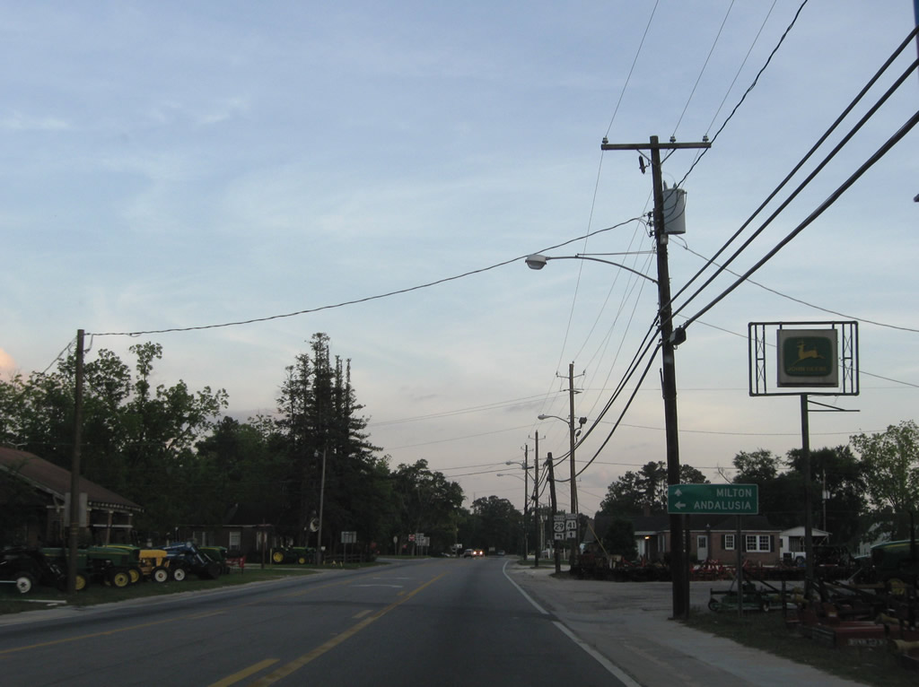
| U.S. 29 turns easterly onto Forrest Avenue from SR 41 (Florida Street) in East Brewton. SR 41 continues south 6.53 miles to Santa Rosa County, Florida while U.S. 29 traverses areas of Conecuh National Forest east over the next 45 miles to Andalusia. 07/11/10 |
|
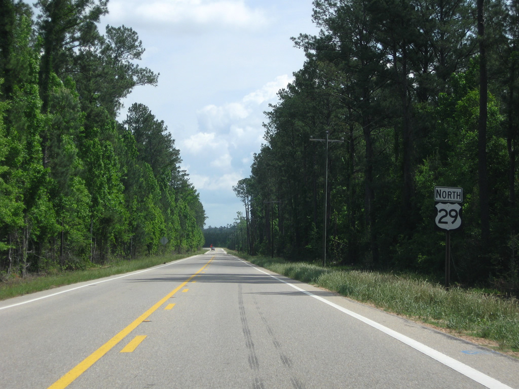
| Reassurance marker posted for U.S. 29 north of Bradley Road. Bradley Road was the original alignment for CR 4 leading southeast to Roberts. The county road was realigned to the east by 2004, bypassing a stretch of road paralleling the west banks of the Conecuh River. 05/03/09 |
|
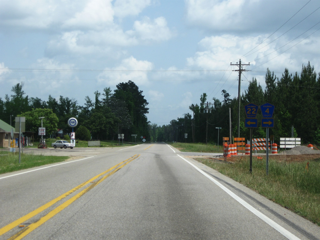
| CR 4 follows Ridge Road north from Bradley Road to U.S. 29 opposite from CR 22. CR 22 travels west to Rock Hill, Spring Hill and U.S. 29/SR 41 in East Brewton. CR 4 meanders east to Roberts and Bradley in Conecuh National Forest. 05/03/09 |
|
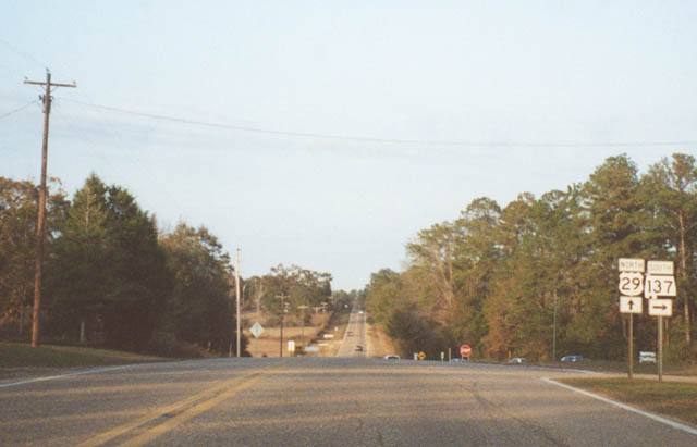
| Besides the settlements of Dixie and Rome, the lone significant point along U.S. 29 between Brewton and Andalusia is the intersection with SR 137. SR 137 travels wholly within Conecuh National Forest as it leads 14 miles south from U.S. 29 to the Florida state line. 11/25/01 |
|
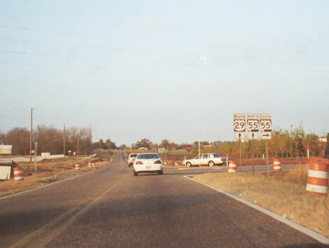
| Entering the Andalusia vicinity, U.S. 29 combines with SR 55. Area routes were reconfigured following completion of the northern Andalusia bypass. With it, SR 55 was relocated along old U.S. 29 from Downtown to this intersection. Old SR 55 between the business district and U.S. 84 is locally maintained. 11/25/01 |
|
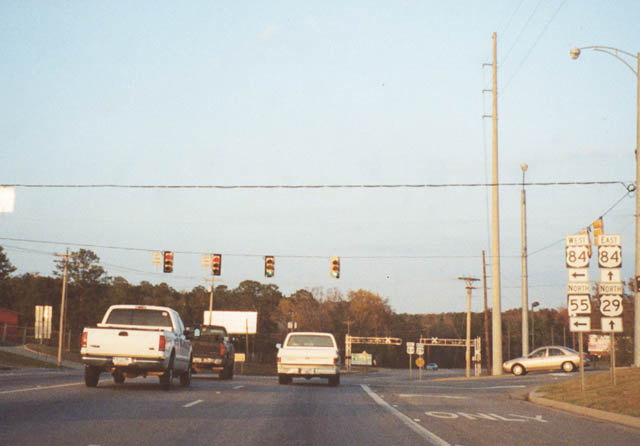
| The northern split of U.S. 29 and SR 55 at U.S. 84. U.S. 84 overlaps with SR 55 to River Falls, three miles to the northwest. U.S. 29/84 combine to the east along the four lane north bypass. 11/25/01 |
|
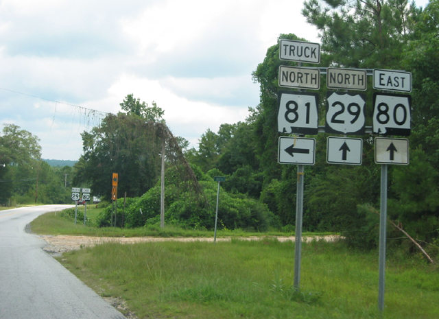
| Entering the city square in Tuskegee, U.S. 29 northbound merges with U.S. 80 east for a seven mile overlap through the nearby National Forest. SR 81 begins on the north side of the square. 08/22/03 |
|
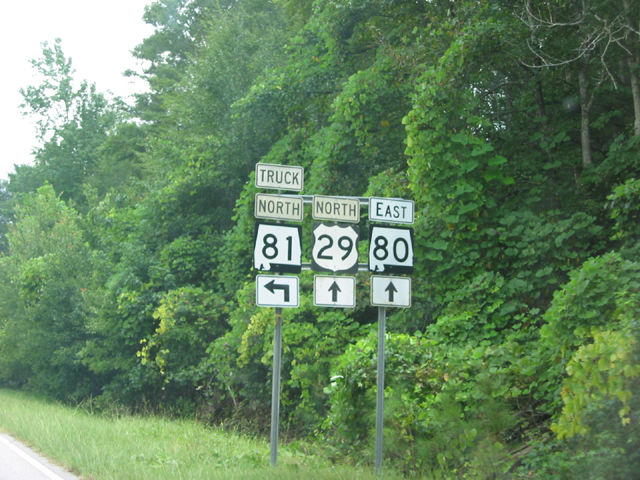
| U.S. 29 north and U.S. 80 east combine in Downtown Tuskegee at a square joining the two routes with SR 81 (Main Street) north to Notasulga. 08/22/03 |
|
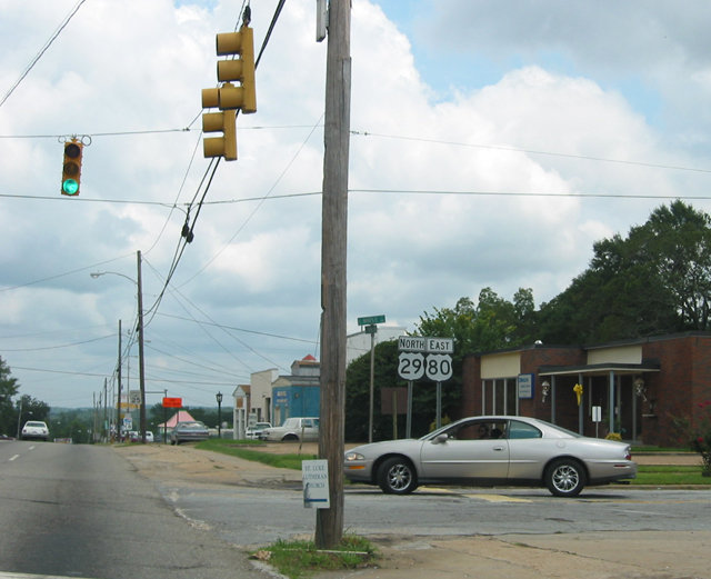
| Confirming markers for U.S. 29/80 stand at the intersection of Martin Luther King Highway and Maple Street in Tuskegee. The two US highways overlap for 7.45 miles. 08/22/03 |
|
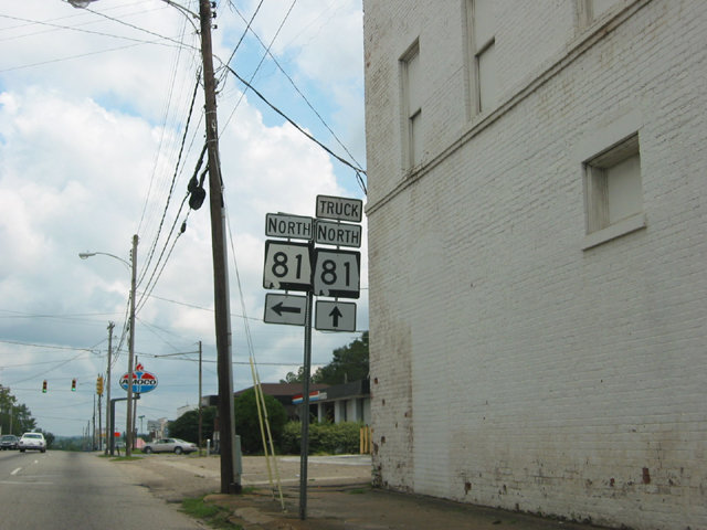
| Chappie James Drive forms part of a truck route for SR 81 north from U.S. 29/80 to Moton Field Municipal Airport (06A) and SR 81 south of SR 199. 08/22/03 |
|
| Erroneous SR 80 shields were posted at one time for U.S. 80 at the intersection with Chappei James Drive (SR 81 Truck) north. U.S. 29/80 advance east from the city of Tuskgee city into Tuskegee National Forest. 08/22/03 |
|
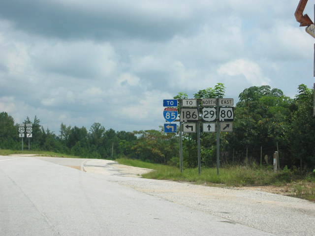
| Progressing east from Pleasant Hill across Tuskegee National Forest, U.S. 80 branches southeast from U.S. 29 at a parclo interchange with SR 186 west. The grade separation was constructed here in 1973.
Northward, U.S. 29 travels eight miles to combine with I-85 north through the city of Auburn. SR 186 runs 3.82 miles back to the west, connecting with I-85 at Exit 42. 08/22/03 |
Page Updated 10-03-2012.


 North
North

 East
East