|
| U.S. 29 bypasses the Amherst County seat to the east along a four lane freeway. A parclo interchange joins Amherst Highway with U.S. 60 (Lexington Avenue west / Richmond Highway east). 05/30/05 |
|
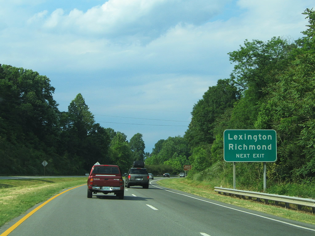
| Longer distance control cities for U.S. 60 include Lexington (I-64/81) and Richmond. U.S. 60 travels 296.16 miles overall across Virginia between West Virginia near Callaghan and Virginia Beach. 05/30/05 |
|
| A loop ramp joins U.S. 60 (Lexington Avenue) west into Amherst. U.S. 60 (Richmond Highway) east continues to Gladstone, Bent Creek and the Buckingham County seat. 05/30/05 |
|
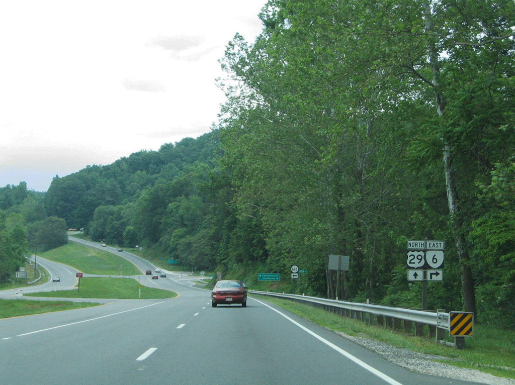
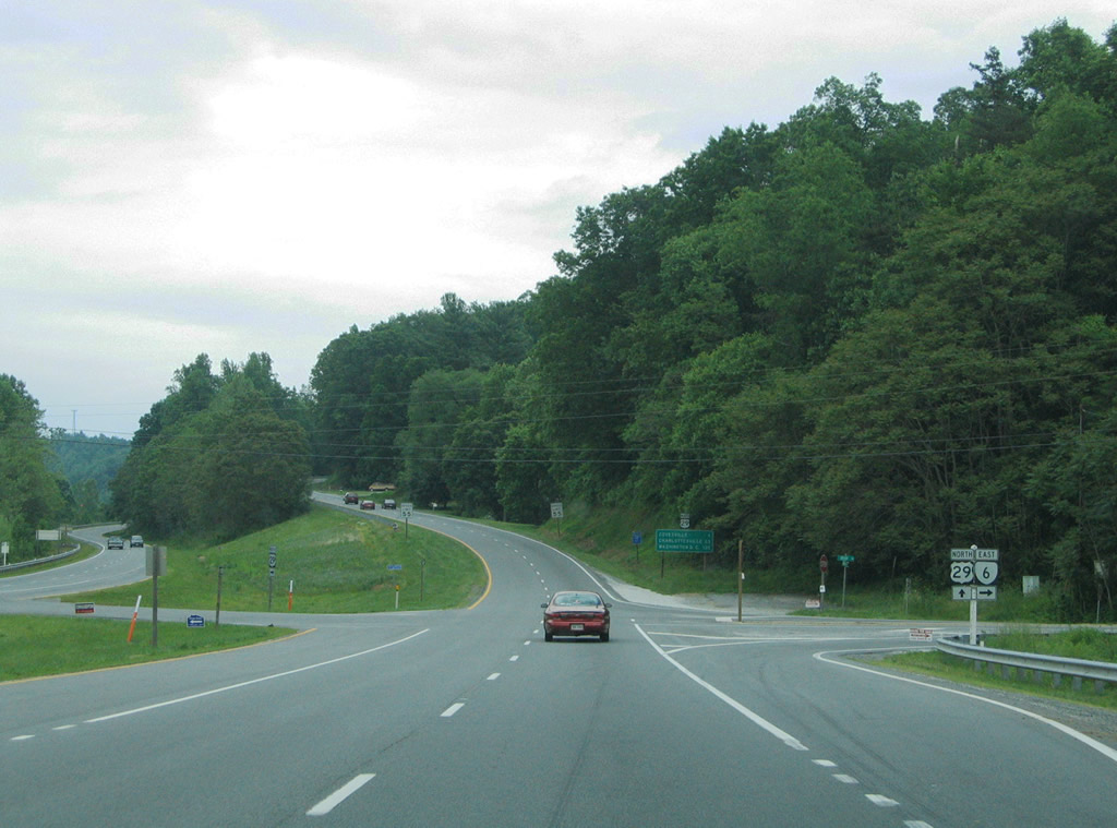
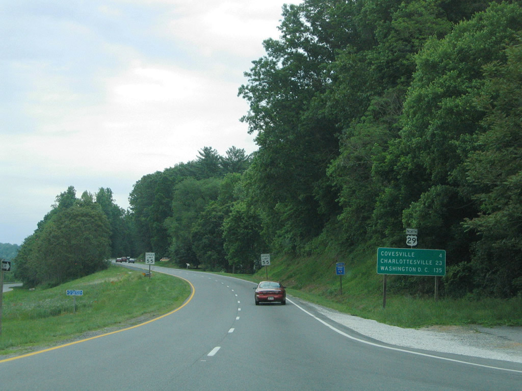
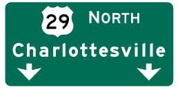
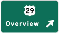
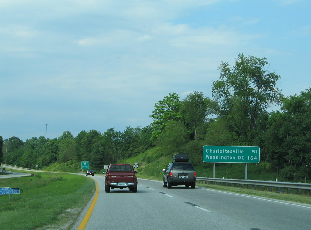
| Washington, DC Joins Charlottesville as a northbound destination for U.S. 29. 164 miles to the northeast, U.S. 29 is not the most practical route to the Nation's Capital due to heavy development in northern Virginia along the corridor. 05/30/05 |
|
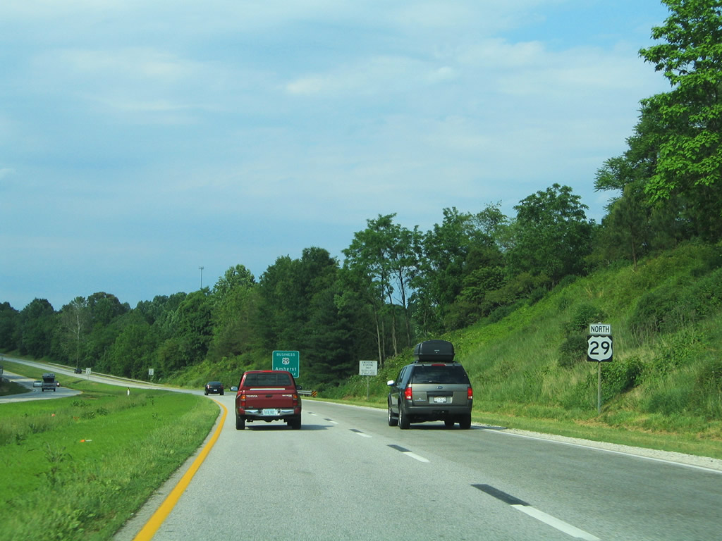
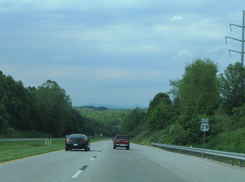
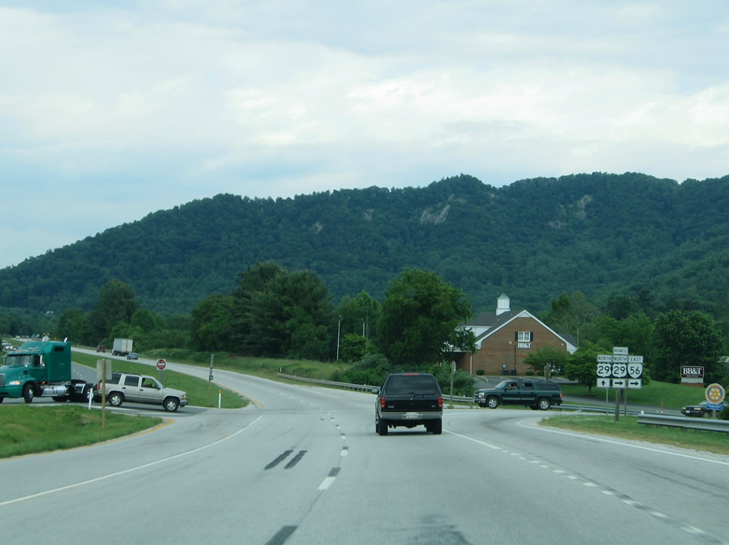
| Northbound reassurance shield posted ahead of the folded diamond interchange with North Main Street (U.S. 29 Business south). 05/30/05 |
|
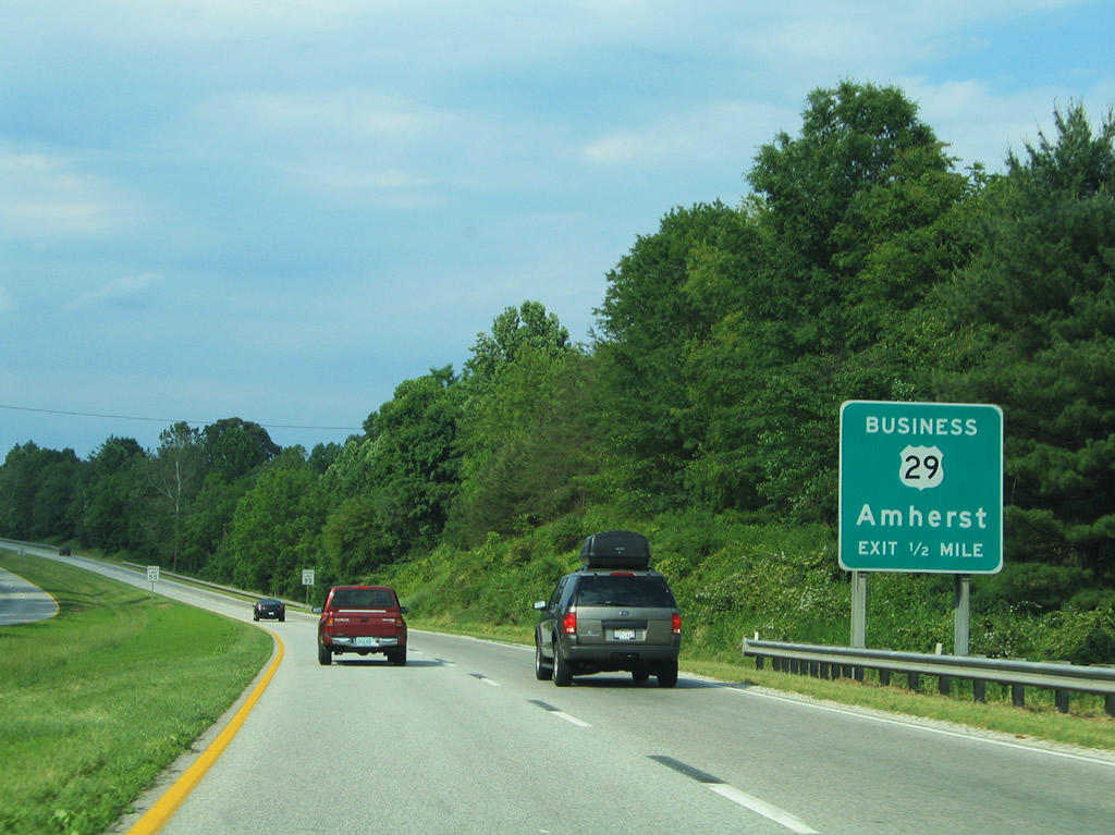
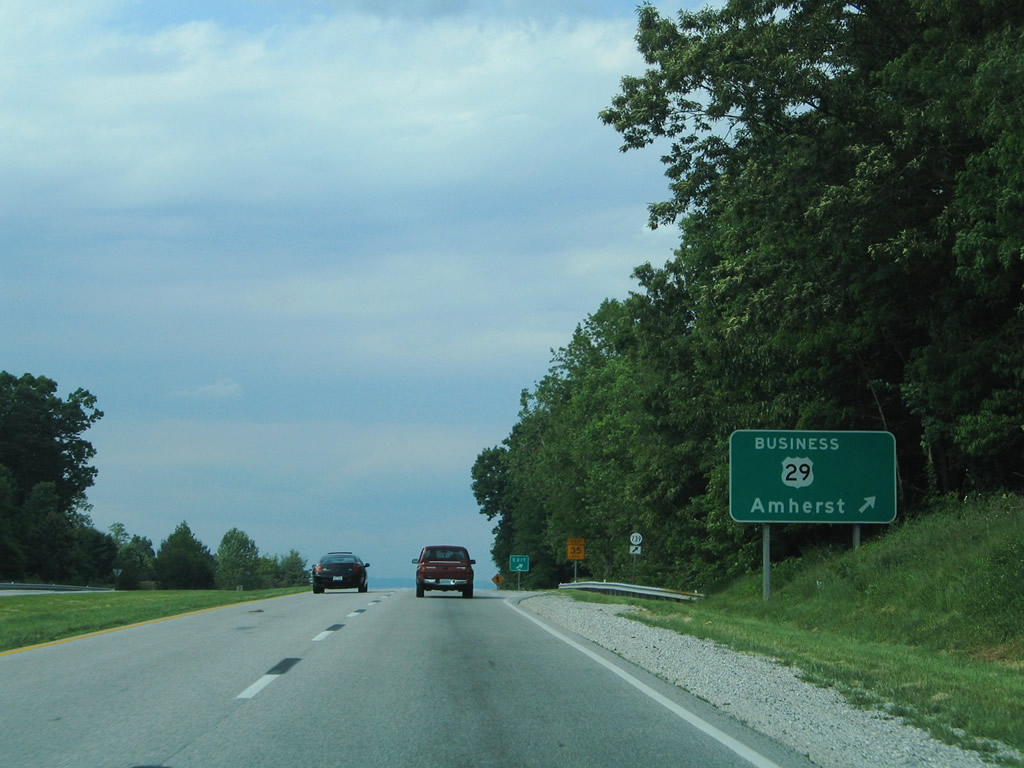
| U.S. 29 Business returns from Amherst to U.S. 29 Amherst Highway) opposite of SR 739 (Boxwood Farm Road). 05/30/05 |
|
| U.S. 29 (Amherst Highway) northbound at the U.S. 29 Business southbound and SR 739 eastbound off-ramp. SR 739 arcs eastward to Glasgow and Tye River, ending at U.S. 29 in Nelson County. 05/30/05 |
|
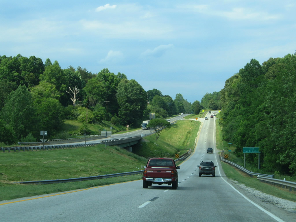
| Leaving the Amherst Bypass freeway, U.S. 29 (Amherst Highway) downgrades back into a four lane surface highway. 05/30/05 |
|
| Spanning the Buffalo River, northbound drivers of U.S. 29 leave the town limits of Amherst. 05/30/05 |
|
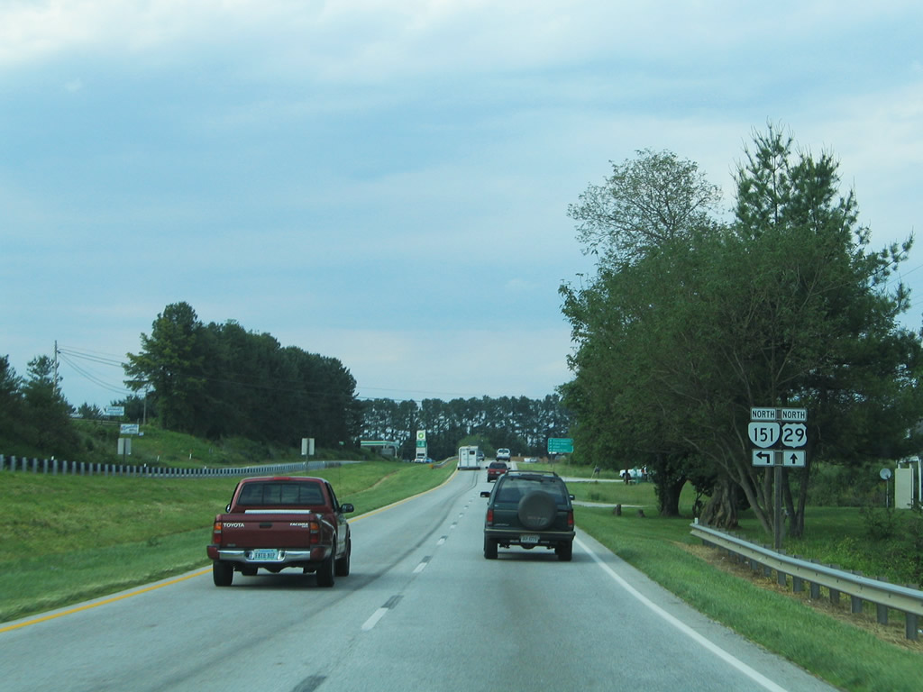
| Approaching the northbound beginning of SR 151 (Patrick Hentry Highway) near Buffalo Hill on U.S. 29 north. 05/30/05 |
|
| SR 151 (Patrick Henry Highway) meanders northward through the mountain communities of Piney River, Roseland and Wintergreen, splitting with SR 6 (former SR 151) ahead of Afton. 05/30/05 |
|
| SR 151 travels 35.22 miles between U.S. 29 (Amherst Highway) and U.S. 250 at Crizters Shop. The route overlaps with SR 56 between Pine River and Roseland and SR 6 for 6.22 miles leading into Avon. 05/30/05 |
|
| Continuing north along U.S. 29 (Amherst Highway) toward the crossings of Turner and Crawford Creeks. 05/30/05 |
|
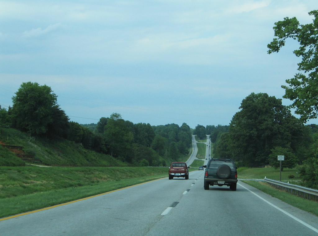
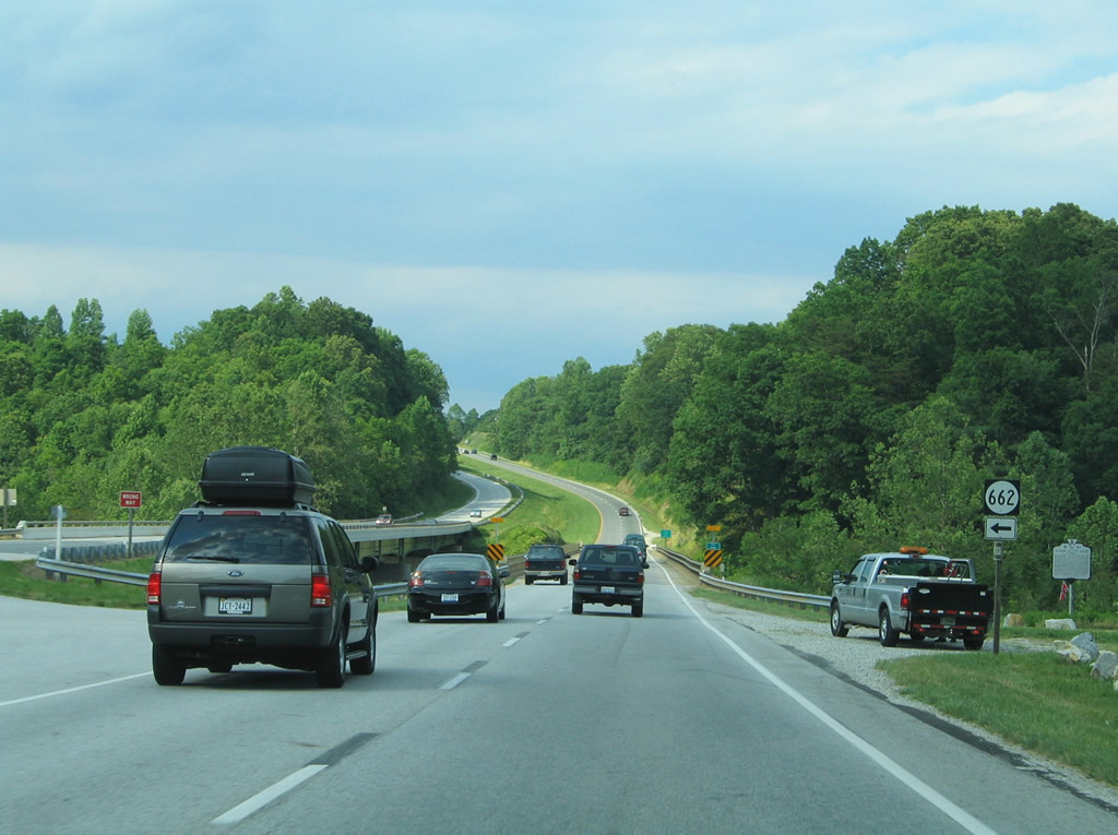
| SR 622 (Geddes Mountain Road) spurs northwest from U.S. 29 (Amherst Highway) to Geddes Mountain ahead of the Tye River bridge. 05/30/05 |
|
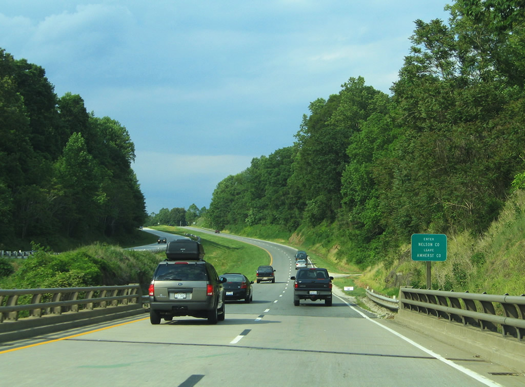
| U.S. 29 leaves Amherst County for Nelson County at the Tye River. 05/30/05 |
|
| Northbound scene along U.S. 29 at Kingswood. SR 665 (Wilson Hill Road) to the east from Kingswood as U.S. 29 encircles nearby Crits Mountain. 05/30/05 |
|
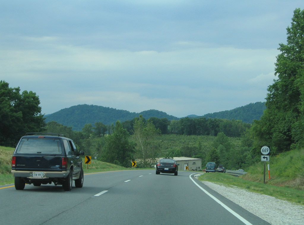
| SR 669 (Bowling Drive) angles northwest to Old Stage Road (SR 671) from U.S. 29 west of Crits Mountain. 05/30/05 |
|
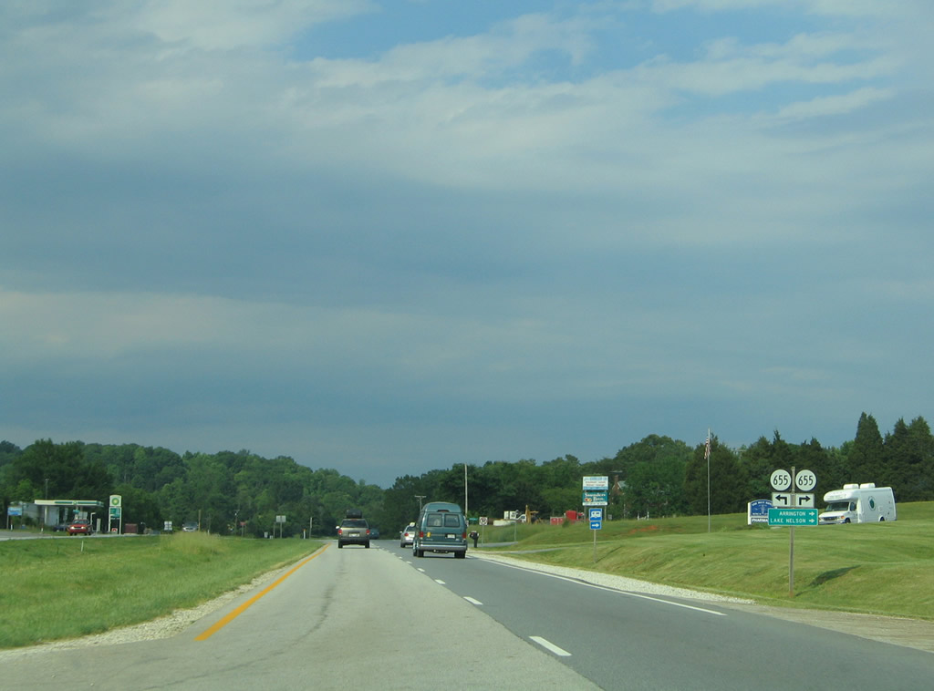
| SR 655 (Colleen Road west / Arrington Road east) crosses paths with U.S. 29 (Thomas Nelson Highway) north at Colleen. SR 665 leads southeast from Colleen to Arrington, Norwood, and the Lake Nelson area via SR 626 and 647. 05/30/05 |
|
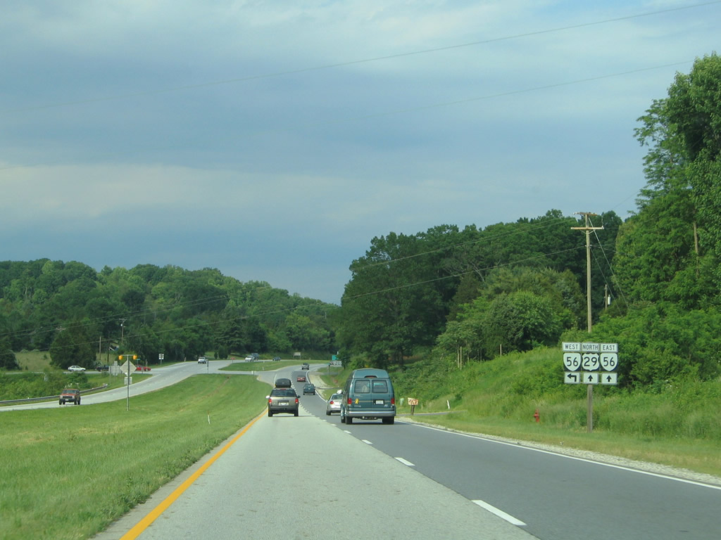
| SR 56 (Tye Brook Highway) joins with U.S. 29 north near Colleen. The state route connects the four lane divided highway with Piney River (SR 151) and Steeles Tavern (U.S. 11).
SR 56 replaced SR 158 along the five mile path between Colleen and Piney River. 05/30/05 |
|
| SR 56 constitutes a 63 mile long highway between Steeles Tavern and U.S. 60 at Dentons Corner. 05/30/05 |
|
| U.S. 29/SR 56 overlap for four miles between Colleen and U.S. 29 Business at Lovingston. 05/30/05 |
|
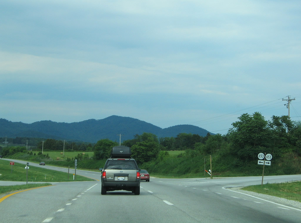
| SR 653 intersects U.S. 29/SR 56 (Thomas Nelson Highway) next. SR 653 spurs northward along Freshwater Cove Lane to Poplar Flats. Eastward SR 653 follows Oak Ridge Road toward SR 655 near Canada Gap between Turner and Findlay Mountains. 05/30/05 |
|
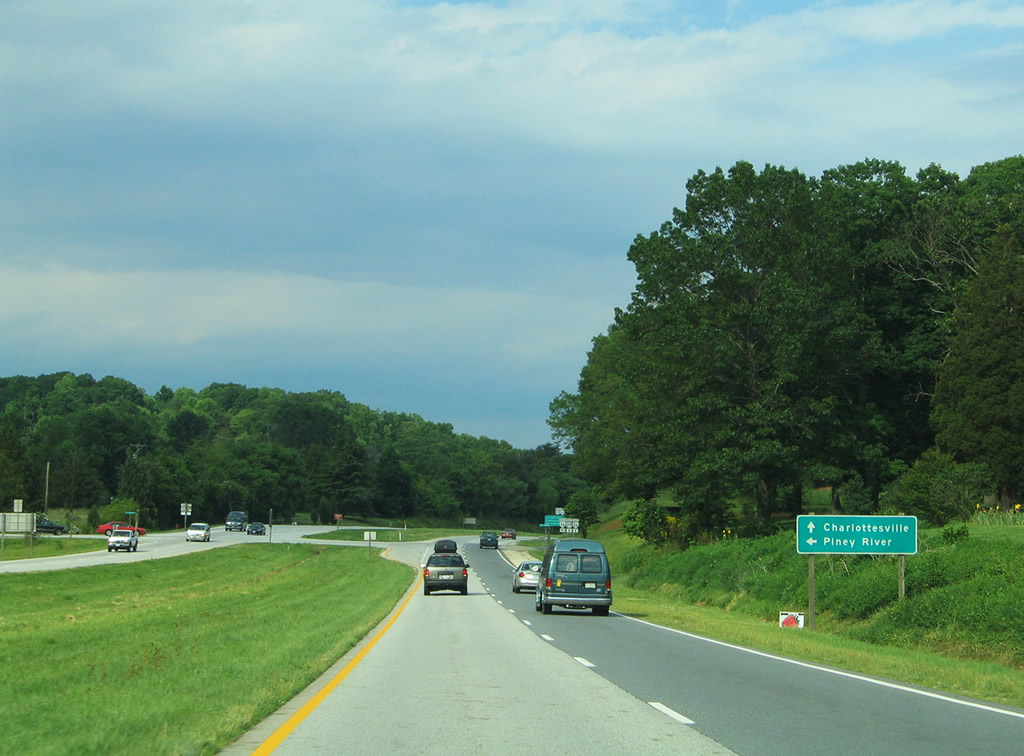
| SR 56 separates from U.S. 29 (Thomas Nelson Highway) for a short overlap with U.S. 29 Business (Front Street) at Lovingston before turning south along James River Road to Lakeview Heights. SR 56 circumvents Edge Hill on the four mile drive to Shipman. 05/30/05 |
|
| U.S. 29 Business follows Front Street through the Nelson County seat of Lovingston. The route emerges from near Ridge Street. 05/30/05 |
|
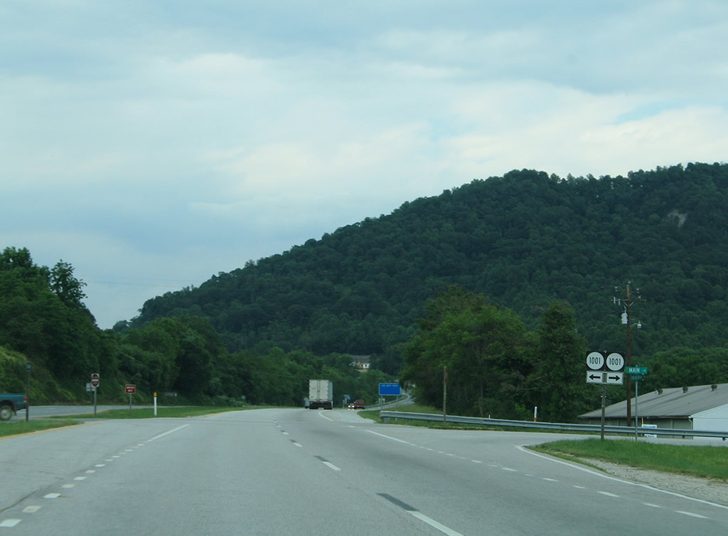
| Northbound U.S. 29 (Thomas Nelson Highway) at SR 1001 (Main Street east and Ridge Lane west) in Lovingston. 05/30/05 |
|
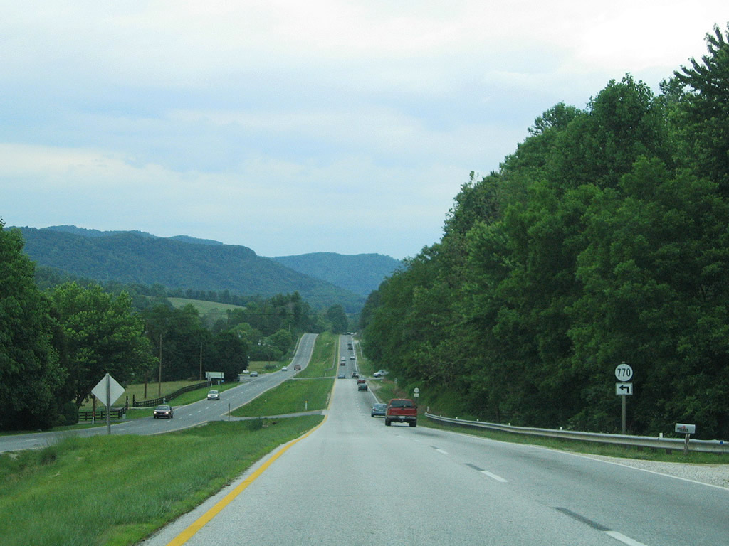
| Approaching SR 770 (Cannery Loop), a short bypassed alignment of old U.S. 29. 05/30/05 |
|
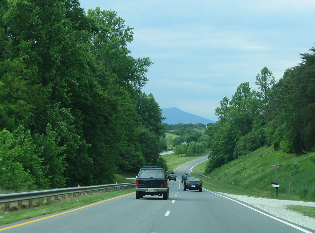
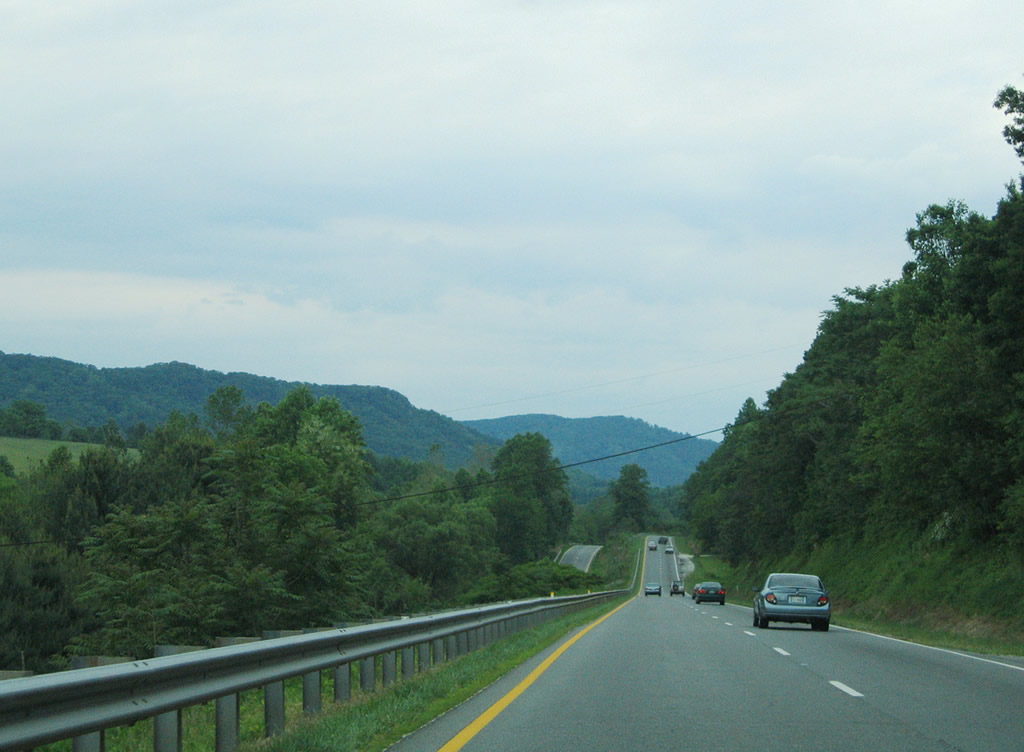
| U.S. 29 becomes more hilly as the four lane highway skims between Woods and Simpson Mountains to Polly Wright Cove. 05/30/05 |
|
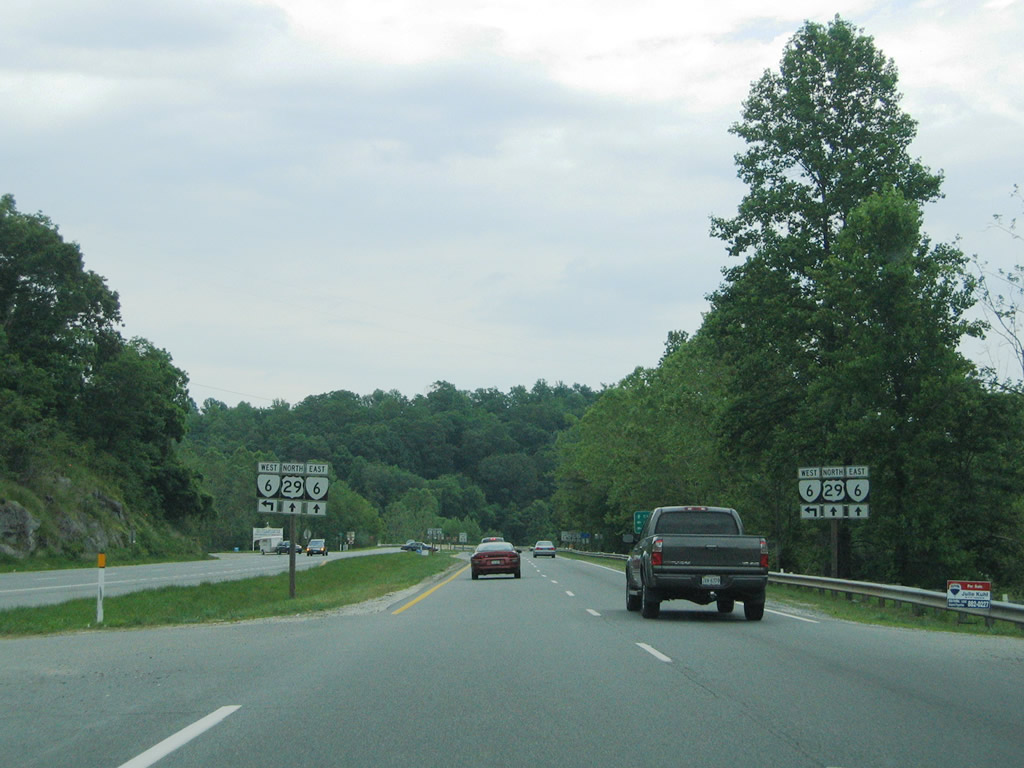
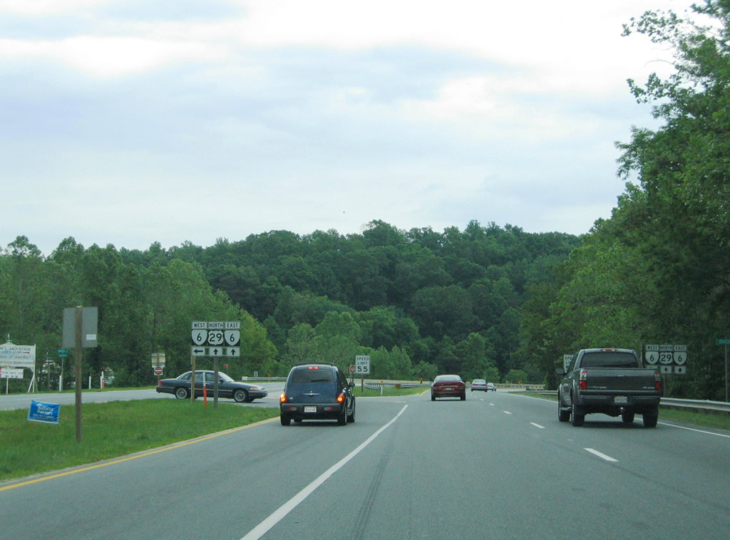
| U.S. 29 north and SR 6 east come together at Woods Mill, east of Roberts Mountain. SR 6 follows River Road south from it split with SR 151. 05/30/05 |
|
| SR 6 travels northward with SR 151 to Avon and by itself to Afton and its conclusion at U.S. 250. Drivers bound for Wintergreen are directed onto SR 6 (River Road) west to SR 151 south. 05/30/05 |
|
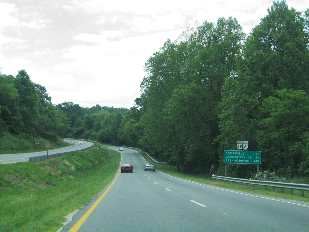
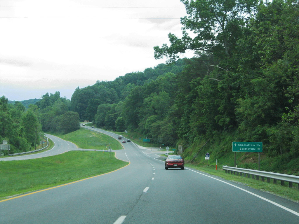
| U.S. 29/SR 6 travel 4.24 miles east from Woods Mill to a point east of Rock Spring Mountain. SR 6 continues to Scottsville while U.S. 29 resumes a northward course to Charlottesville. 05/30/05 |
|
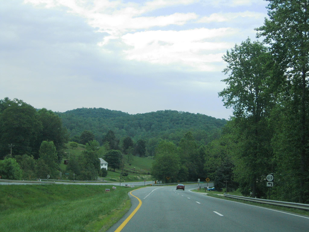
| SR 619 (Twin Poplars Loop) ventures north from U.S. 29/SR 6 (Thomas Nelson Highway) to Twin Poplars and Hills Mountain. 05/30/05 |
|
| U.S. 29/SR 6 widen to accommodate a tree lined median after the intersection with SR 617 (Rockfish River Road). Diggs Mountain lies to the north. 05/30/05 |
|
| Nearing the split of SR 6 (Irish Road) east from U.S. 29 (Thomas Nelson Highway) north. SR 616 (Hickory Creek Road) ventures north to Archer Mountain just ahead of the partition. 05/30/05 |
|
| SR 6 (Irish Road) advances 18 miles east to Faber and across Shiloth and Butler Mountains into Albemarle County to SR 20 at Scottsville. 05/30/05 |
|
| SR 6 continues east from U.S. 29 (Thomas Nelson Highway) and Scottsville ultimately to Richmond. 05/30/05 |
|
| Continuing north along U.S. 29 (Thomas Nelson Highway) from SR 6 toward Covesville. 05/30/05 |
Page Updated 03-23-2010.

 North
North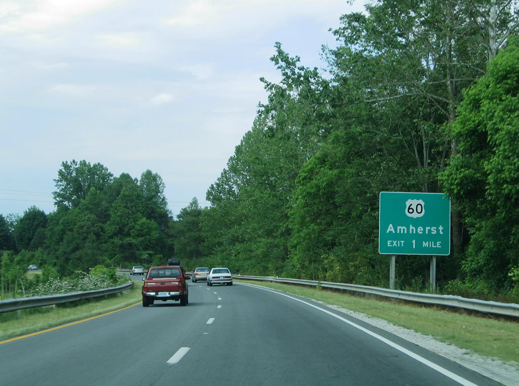


 East
East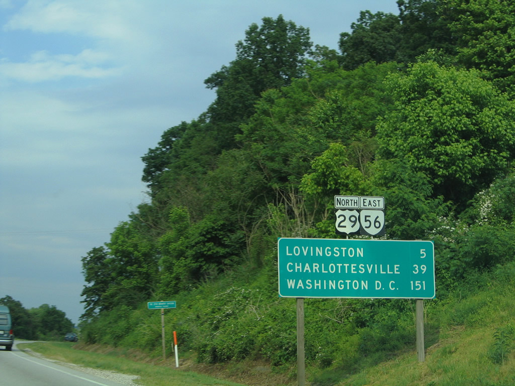

 East
East