|
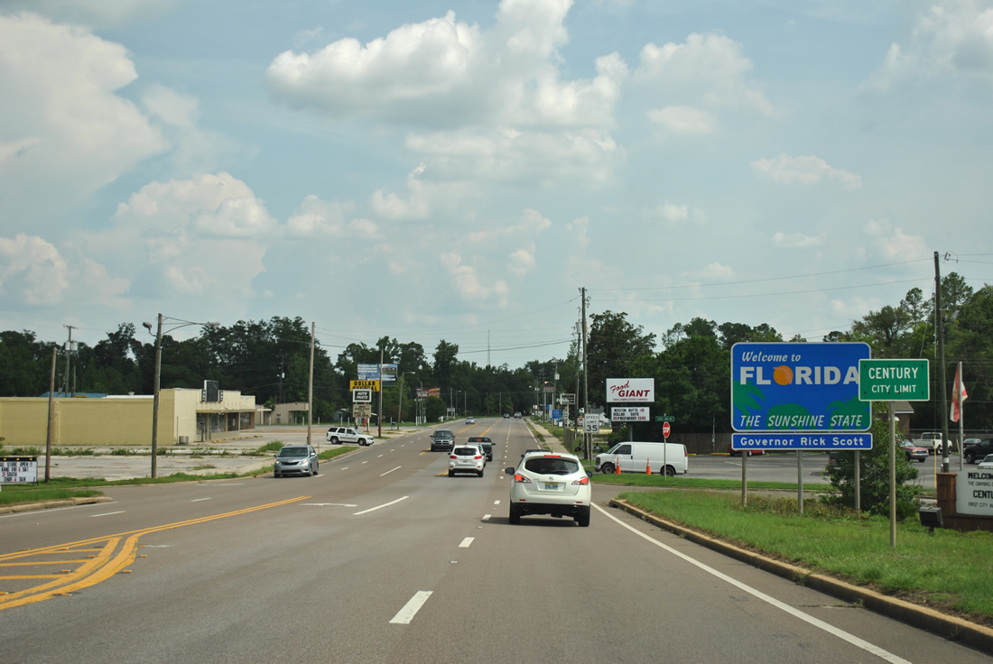
| Lowering from the CSX Railroad under crossing on U.S. 29 (Century Boulevard) southbound into South Flomaton and Century. 07/31/11 |
|
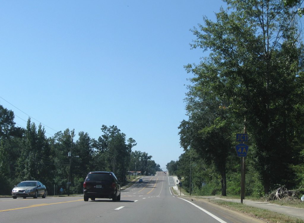
| State Line Road (unsigned County Road 4A) ties into U.S. 29 just south of the state line. County Road 4A leads west 6.005 miles to Gandyville and Byrneville. 09/27/08 |
|
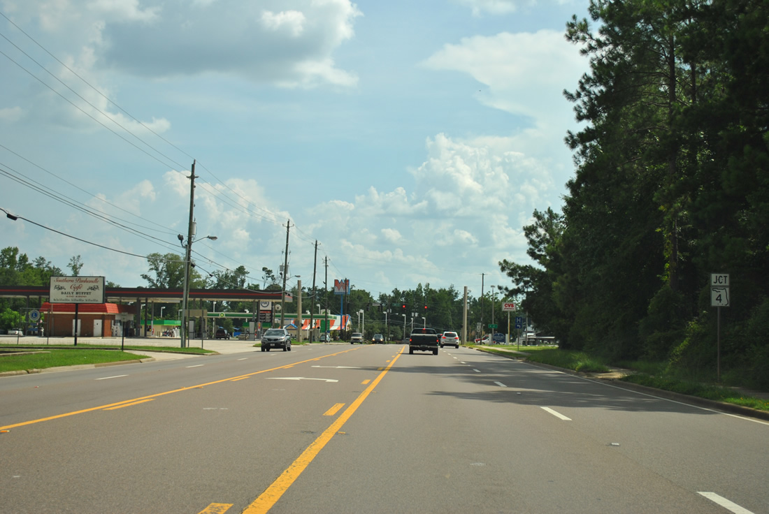
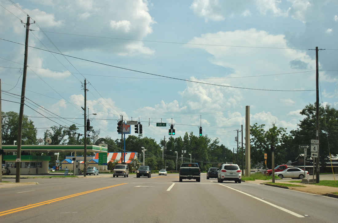
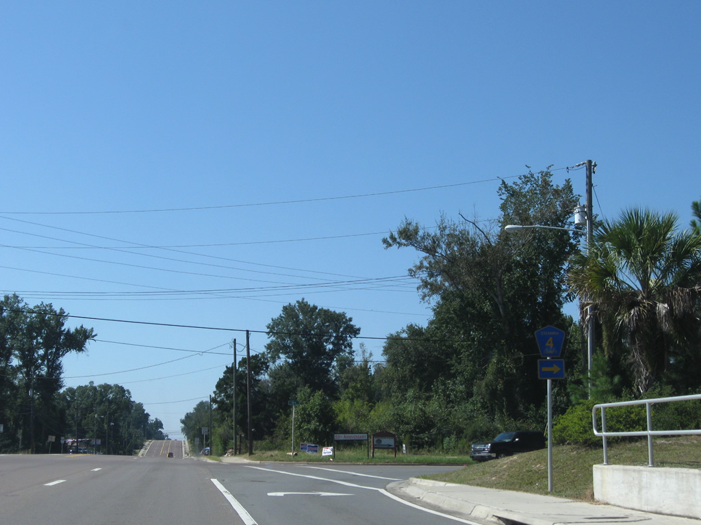
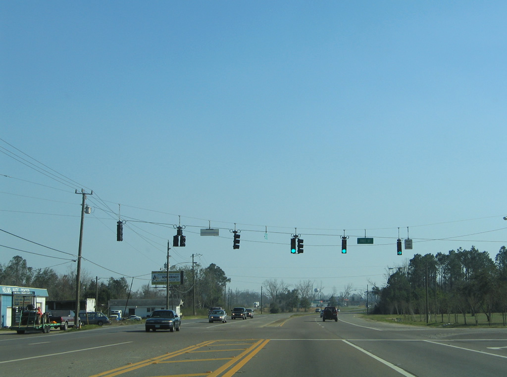
| U.S. 29 arcs southwestward to meet the west end of SR 4 (Jay Road) in central Century. 07/31/11 |
|
| SR 4 follows Jay Road east to Happy Valley and Santa Rosa County. The town of Jay lies eight miles eastward at SR 89.
SR 4 totals 43.75 miles between Century and U.S. 90 at Milligan. 07/31/11 |
|
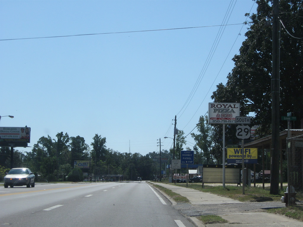
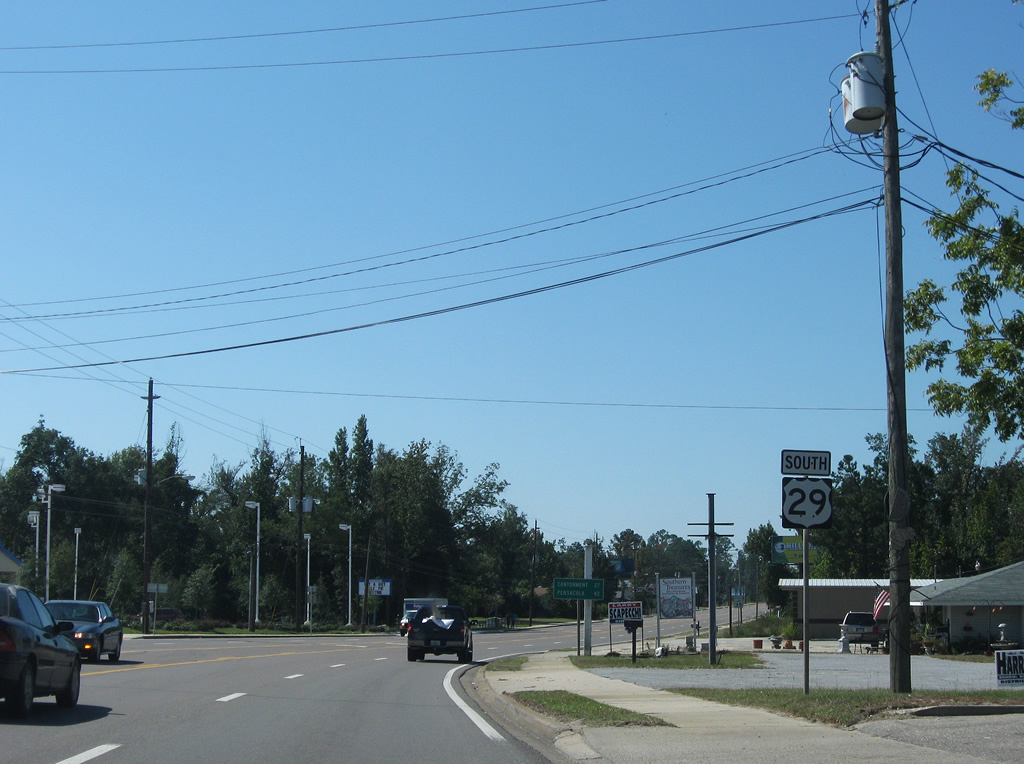
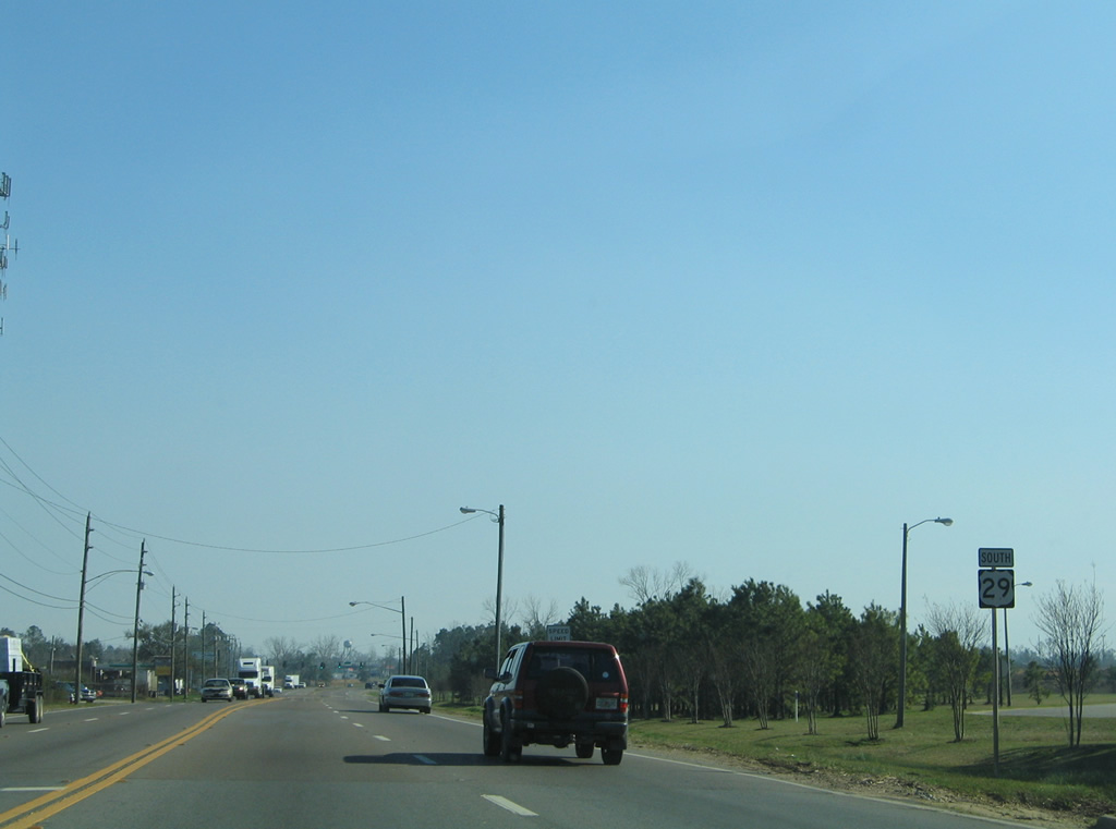
| Reassurance shield posted after the Century Boulevard intersection with Jay Road. Cantonment is 27 miles south and Pensacola 42 miles away at the southern terminus of U.S. 29. 09/27/08 |
|
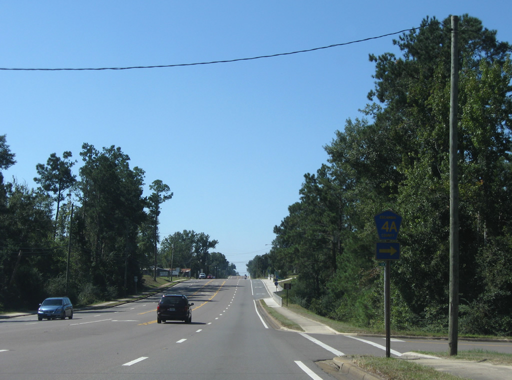
| A second segment of County Road 4A exists along the initial northbound 0.438 mile stretch of Hare Road at Century. 09/27/08 |
|
| Hare Road angles northwest from U.S. 29 (Century Boulevard) to County Road 4A (State Line Road) at Gandyville. 09/27/08 |
|
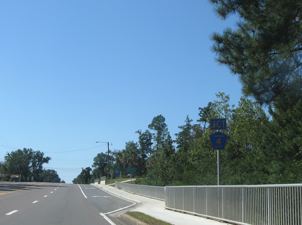
| Escambia County Road 4 immediately ties into U.S. 29 south at the next intersection. The county road links Century with Byrneville and Bratt to the west. 09/27/08 |
|
| County Road 4 travels 13.35 miles between Century and SR 97 at Davisville. Century Industrial Park lies just west of U.S. 29 along the highway. 09/27/08 |
|
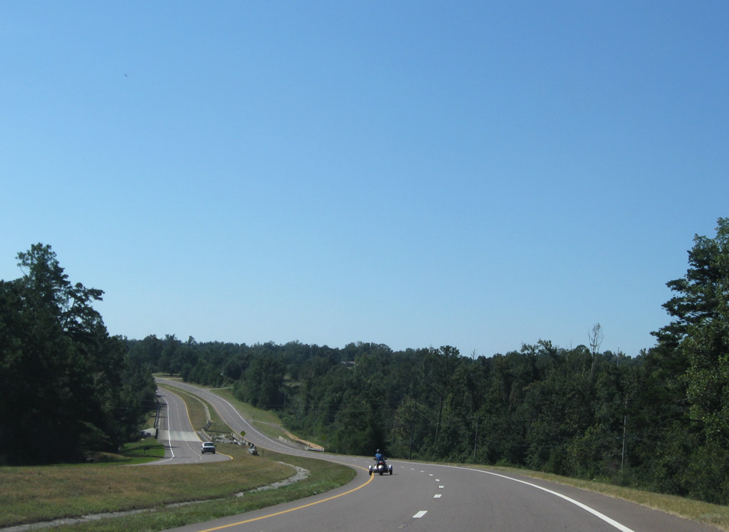
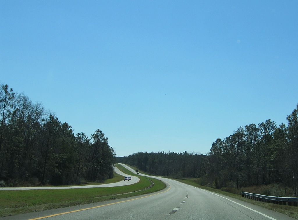
| Leaving Century, U.S. 29 becomes rural and follows a divided four lane highway to Bluff Springs. Speed limits increase to 65 mph. 09/27/08 |
|
| The southbound scene of U.S. 29 at the crossing over Canoe Creek. U.S. 29 was widened to four lanes through here in 1988. Northbound travelers use the 1958-built bridge. 09/27/08 |
|
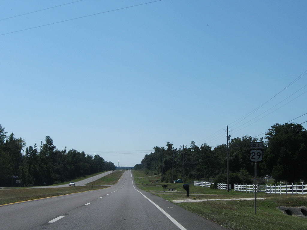
| Continuing south from Cox Road toward the rural community of McDavid on U.S. 29 (Century Boulevard). 09/27/08 |
|
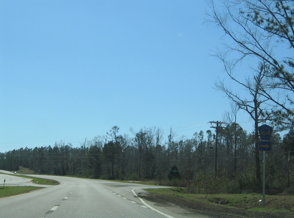
| 11.352 mile long Escambia County Road 164 meanders west from U.S. 29 at McDavid to Oak Grove and SR 97 (Atmore Highway) near Walnut Hill. 02/08/06 |
|
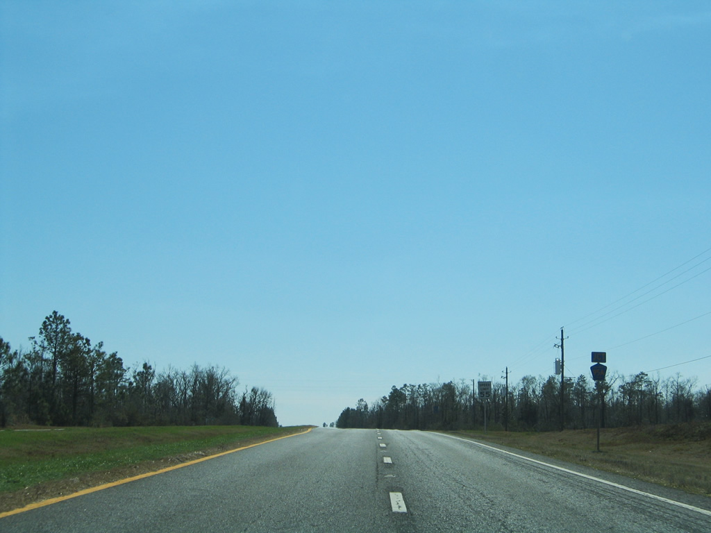
| Slow rolling hills drop U.S. 29 toward the Gulf of Mexico between Bogia Road and Pine Barren Road. 02/08/06 |
|
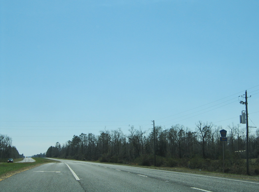
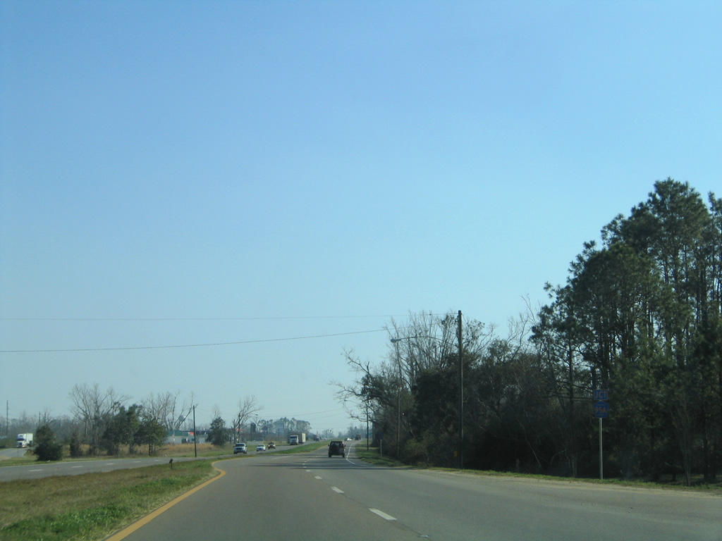
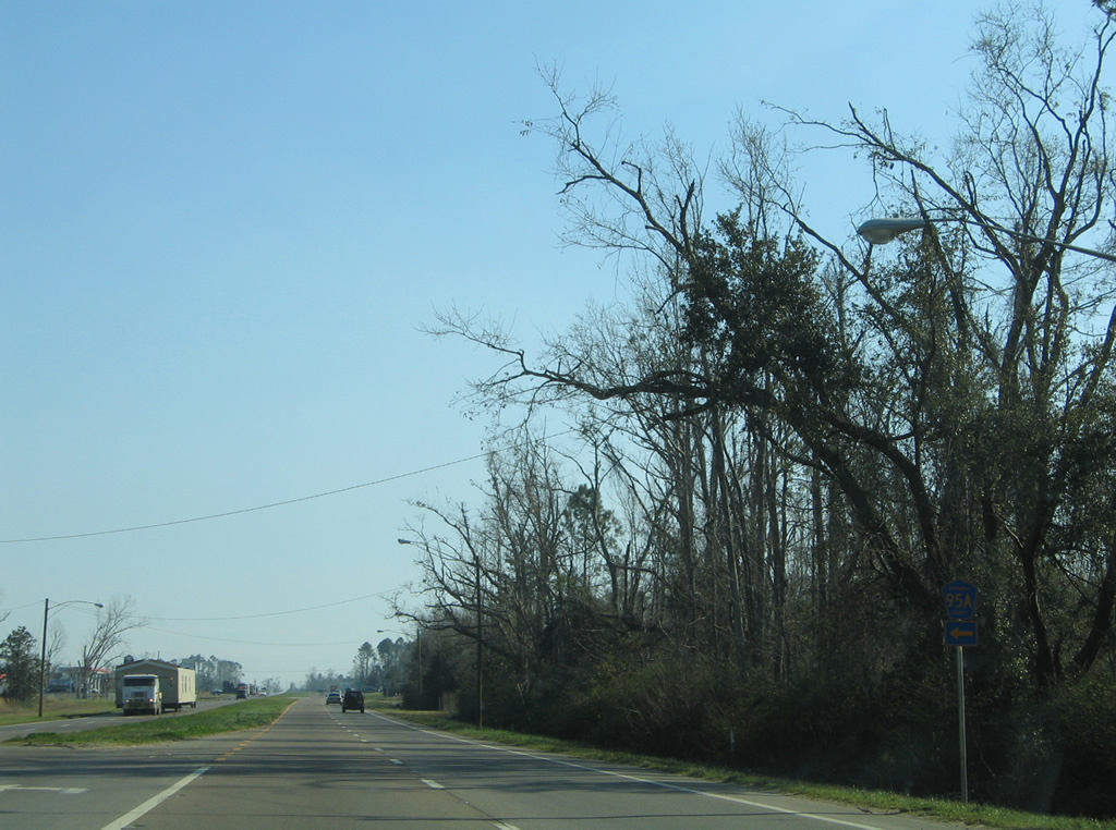
| Escambia County Road 95A branches eastward from U.S. 29 near the community of Barth. 02/08/06 |
|
| Following the original alignment of U.S. 29, County Road 95A loops eastward to Molino, Quintette and Cottage Hill on a 8.962 mile course. 02/08/06 |
|
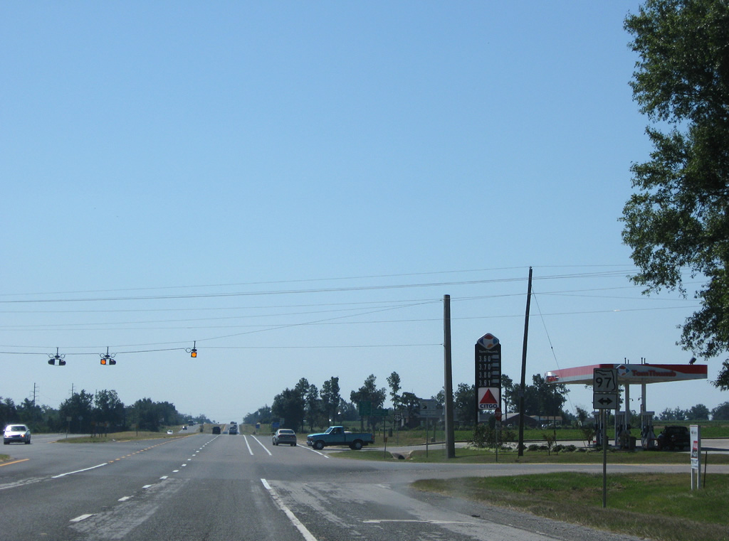
| SR 97 continues Alabama 21 south from Atmore to Davisville to cross paths with U.S. 29 near Molino. The 22.65 mile state road ends nearby at County Road 95A by Molino Crossroads. 09/27/08 |
|
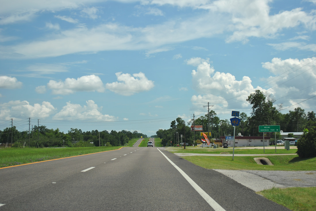
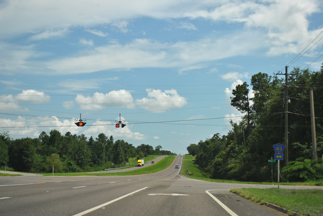
| One mile further south, U.S. 29 approaches County Road 182 (Molino Road). 07/24/11 |
|
| Escambia County Road 182 ventures 5.914 miles west to Barrineau Park (CR 99) and east 1.534 miles to Molino (CR 95A). 07/24/11 |
|
| Entering Cantonment, U.S. 29 narrows to a four lane arterial and approaches Escambia County Road 184 (Muscogee Road) west and Becks Lake Road east. 02/08/06 |
|
| County Road 184 lines Muscogee Road west 5.505 miles to Farm Hill, Muscogee and the first Perdido River crossing north of Interstate 10 in Florida. Escambia County Road 184 becomes Baldwin County Road 112 en route to Gateswood and Bay Minette. 02/08/06 |
|
| Southbound reassurance shield of U.S. 29 posted in Cantonment. 02/08/06 |
|
| A traffic light operates along U.S. 29 at Tree Street west to the adjacent International Paper Company Mill. 02/08/06 |
|
| Escambia County Road 95A again branches eastward from U.S. 29 along the former US Highway alignment to Gonzalez, Ensley and Brent. 02/08/06 |
|
| U.S. 29 south at the split with County Road 95A (Old Palafox Highway) in Cantonment. County Road 95A returns to U.S. 29 in 10.65 miles. 02/08/06 |
|
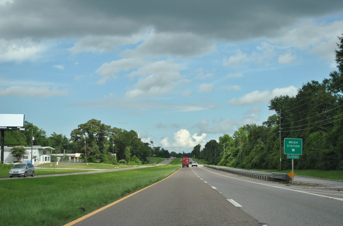
| A southbound side weigh station follows the U.S. 29 intersection with Archer Street in south Cantonment. 07/24/11 |
|
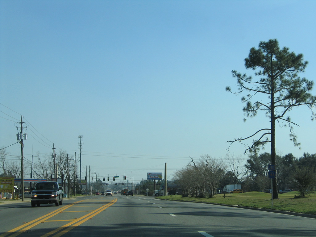
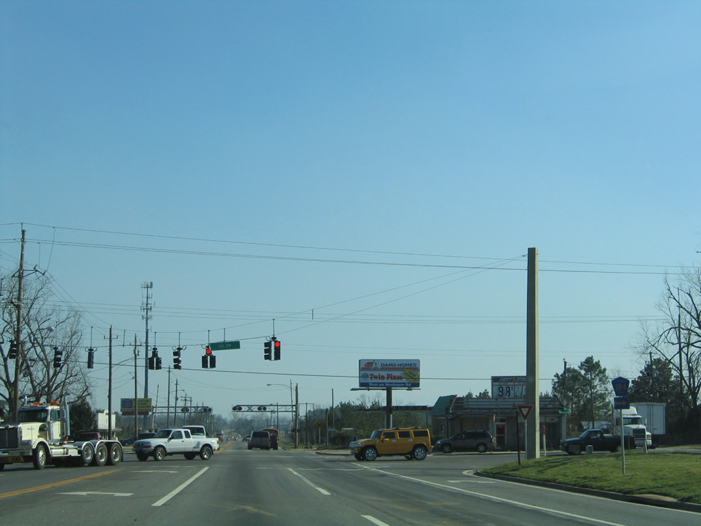
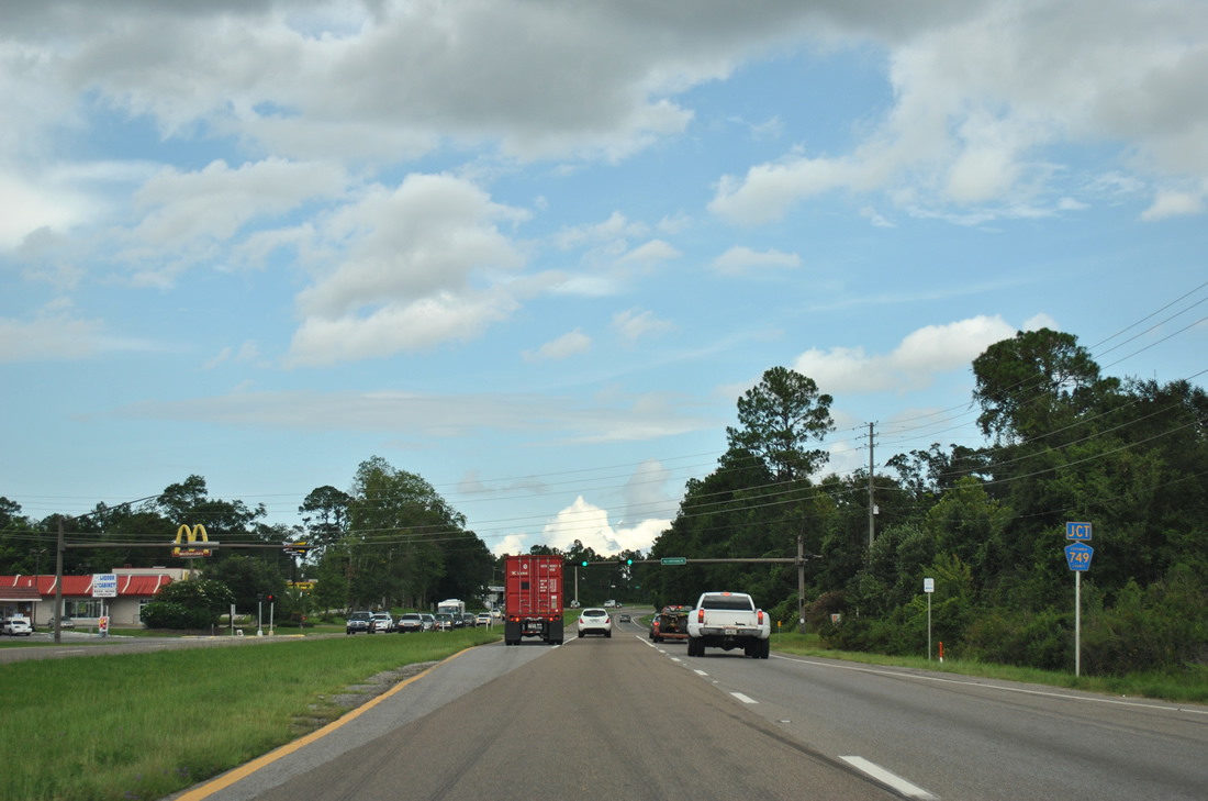
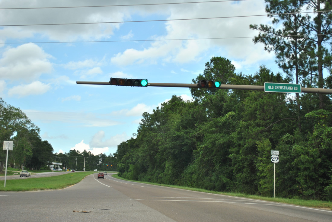
| U.S. 29 becomes increasingly busy through the heavily developed Gonzalez community. Meeting the US route next is Escambia County Road 749 (Old Chemstrand Road) east. 07/24/11 |
|
| County Road 749 doubles as a truck route through residential areas in north Gonzalez to an industrial plant at Chemstrand Road south. The county road used to follow Chemstrand Road south to U.S. 90 Alternate (Nine Mile Road). 07/24/11 |
|
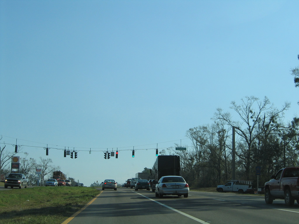
| Escambia County Road 186 meets U.S. 29 at the following southbound traffic light. The east-west road is only signed at the junction with U.S. 29. Heading east, Kingsfield Road carries the road to Chemstrand Road. Westward the highway travels by several cookie cutter subdivisions to Beulah Road (County Road 99). 02/08/06 |
|
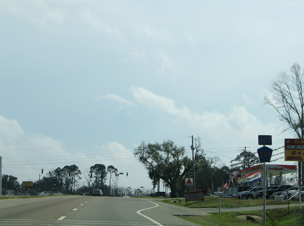
| One half mile south of Kingsfield Road is the north end of County Road 297 (Roberts Road) on U.S. 29. 02/02/06 |
|
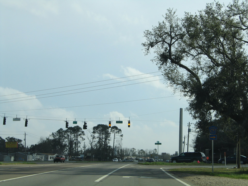
| Roberts Road carries CR 297 west to Pine Forest Road on a 3.37 mile loop to U.S. 90 Alternate (Nine Mile Road) and SR 297 south at Pine Forest. A second segment of CR 297 exists in southwestern Escambia County. 02/02/06 |
|
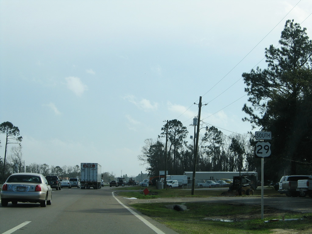
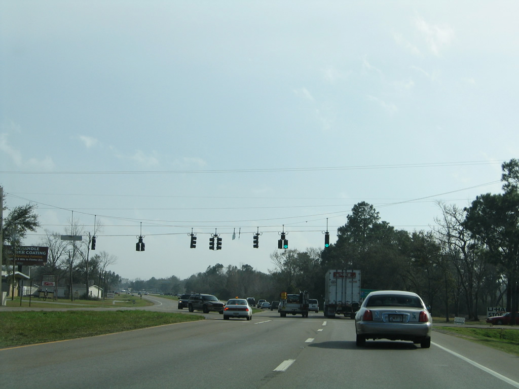
| Through, truck, and commuter traffic mixes along U.S. 29 southbound, resulting in regular congestion to Interstate 10. 02/02/06 |
|
| Ten Mile Road links U.S. 29 with Stefani Road (former County Road 489) to the west and east to Pate Street / Greenbrier Boulevard. 02/02/06 |
|
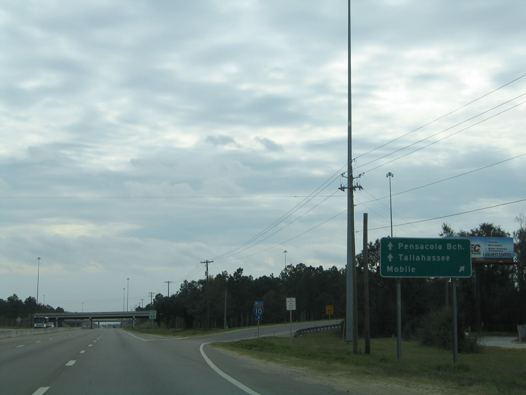
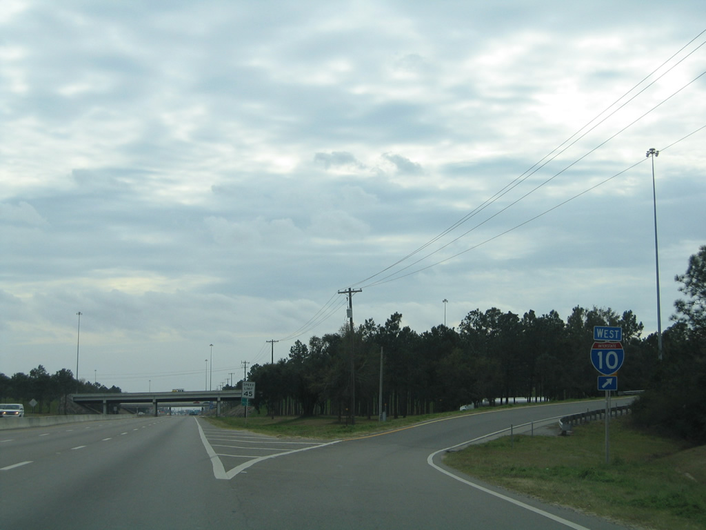
| A directional cloverleaf interchange connects U.S. 29 (Pensacola Boulevard) and Interstate 10 at southwest Ensley. 02/10/06 |
|
| Motorists joining Interstate 10 west continue three miles to Pine Forest and 50 miles to Mobile, Alabama. 02/10/06 |
|
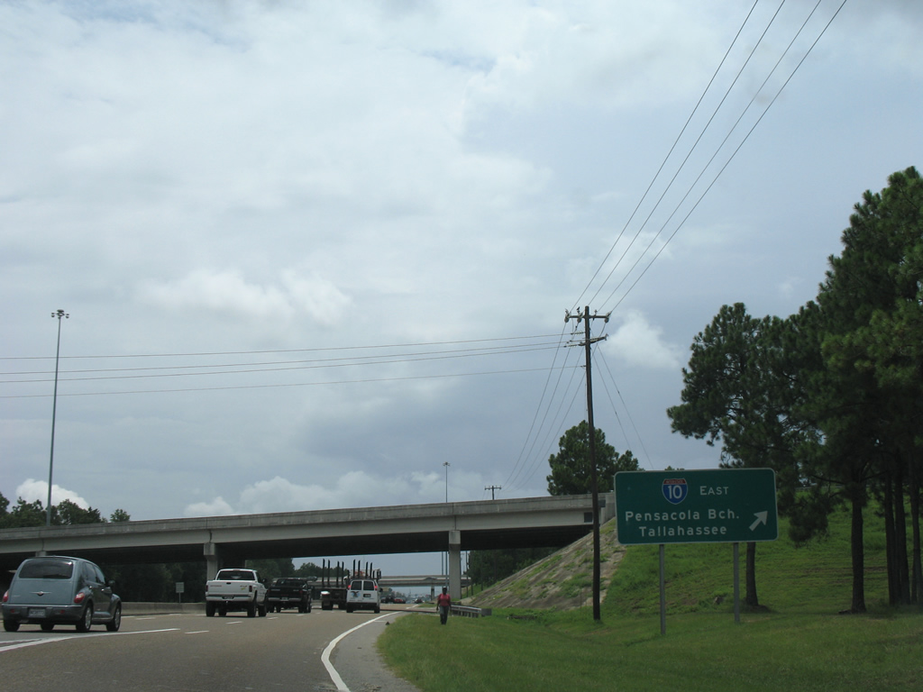
| A left side on-ramp joins I-10 east just ahead of the exchange with Interstate 110 south toward Gulf Breeze and Pensacola Beach. 08/01/08 |
|
| Diamond Dairy Road ties into U.S. 29 just south of the ramps with Interstate 10. 09/30/12 |
|
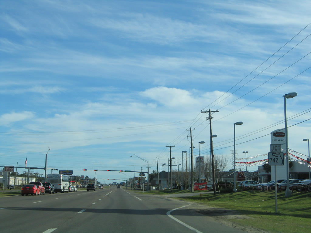
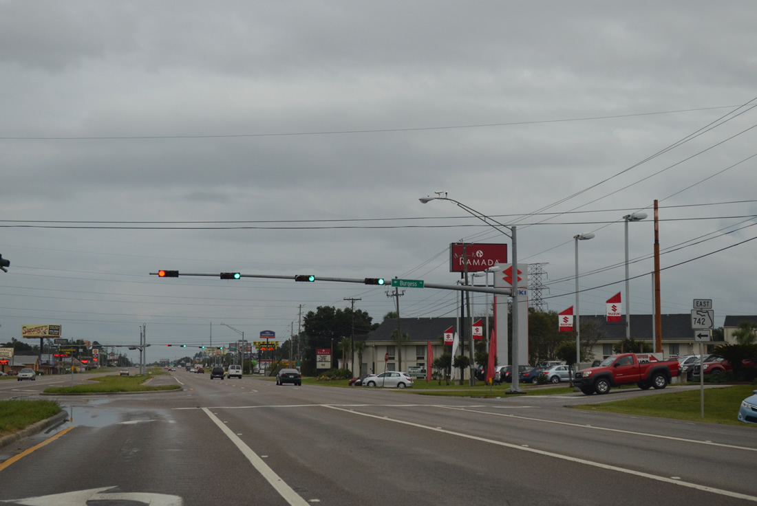
| SR 742 (Burgess Road) intersects U.S. 29 (Pensacola Boulevard) just beyond the Interstate 10 eastbound on-ramp. SR 742 travels east along Burgess Road to Creighton Road across Interstate 110. 02/01/06 |
|
| Tallying 8.28 miles, SR 742 generally serves the northern residential areas outside the Pensacola city limits to Scenic Heights and U.S. 90 (Scenic Highway). The state road expands to five lanes from SR 291 (Davis Highway) to SR 289 (Ninth Avenue). 09/30/12 |
|
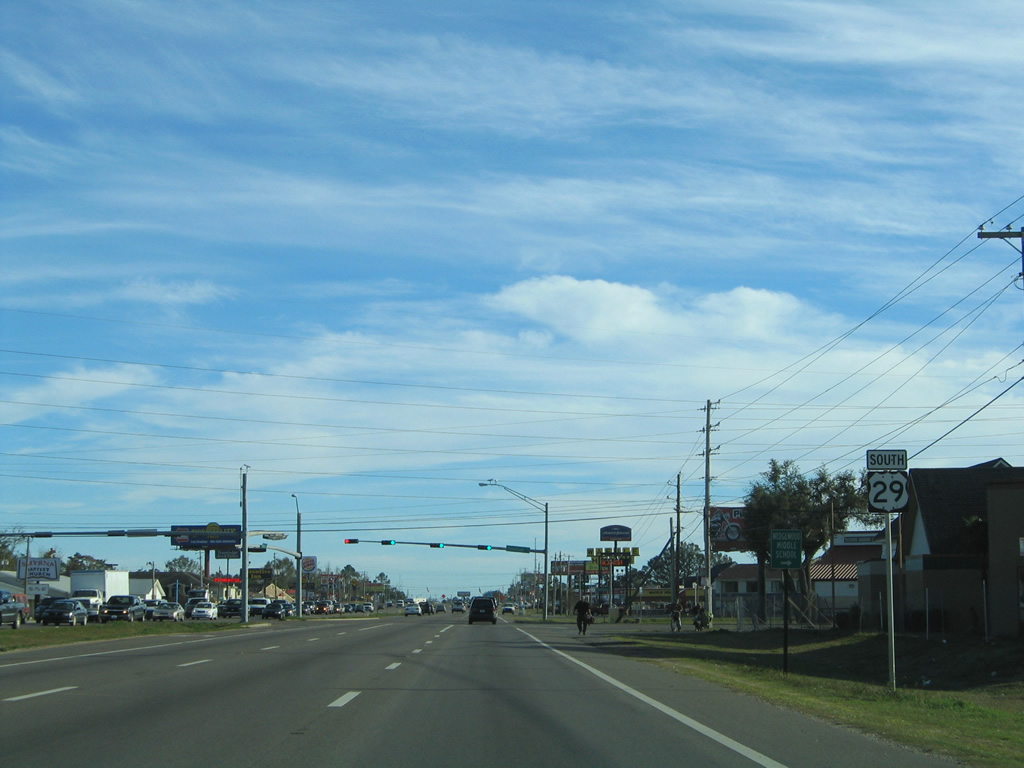
| U.S. 29 (Pensacola Boulevard) southbound after the western terminus of SR 742 (Burgess Road). The signalized intersection with Pinestead Road approaches. Heavy development continues along the six to eight lane arterial in the form of auto dealerships, hotels, restaurants, and gas stations. 02/01/06 |
|
| Pinestead Road spurs west from U.S. 29 to the Wedgewood subdivision and east to County Road 95A (Palafox Street). 07/24/11 |
|
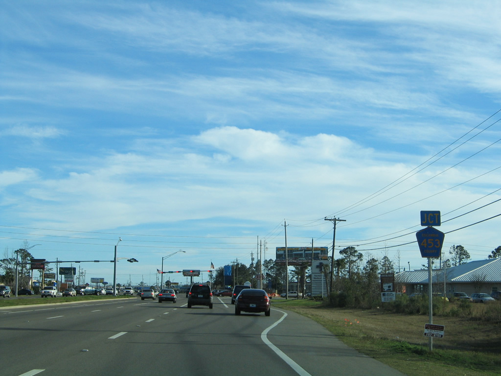
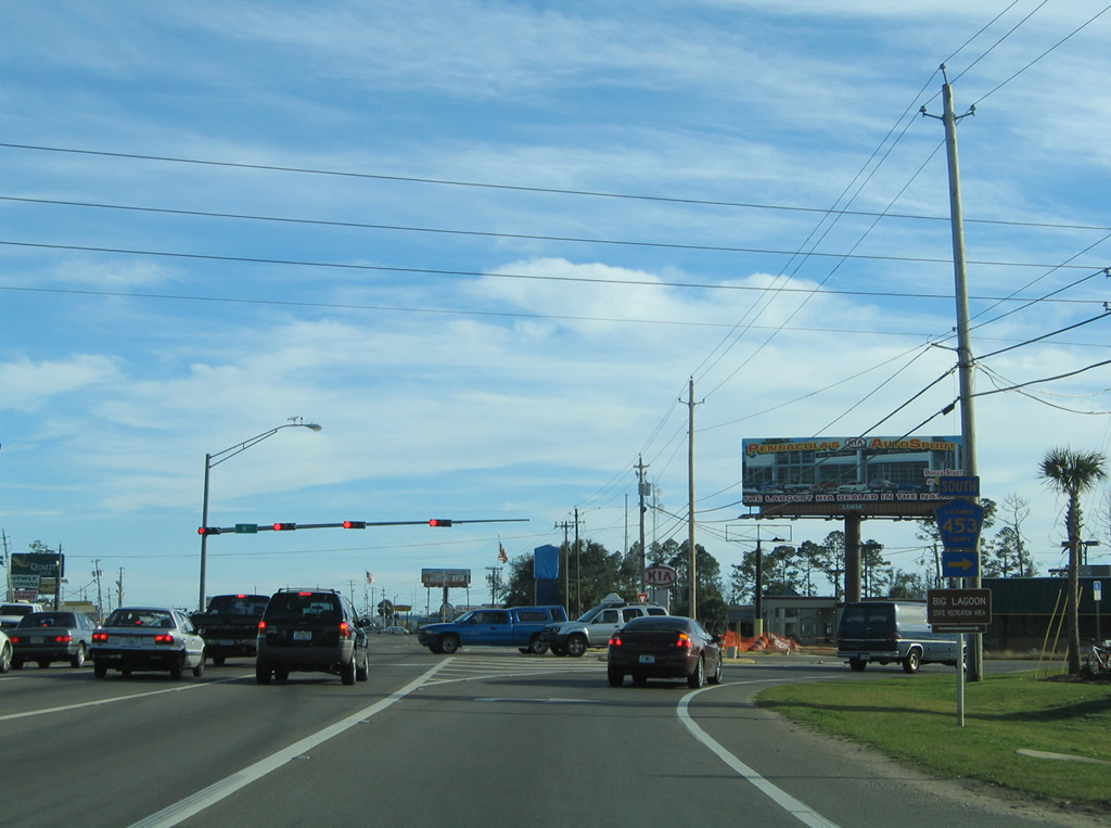
| U.S. 29 continues through intersections with Kenmore and Oakfield Roads before meeting the north end of Escambia County Road 453 (W Street). Escambia 453 carries travelers south and west to Brownsville and West Pensacola. 02/01/06 |
|
| County Road 453 generally constitutes a residential arterial versus the commercialized route of U.S. 29 to the east. The 5.30 mile route ends at U.S. 98 (Navy Boulevard) near Bayou Chico. 02/01/06 |
|
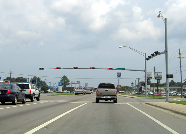
| Airport Boulevard begins at W Street (CR 453), to the west of U.S. 29. The four lane arterial continues eastward to U.S. 29, Interstate 110 (Exit 5), Davis Highway (SR 291) and Cordova Mall. The highway doubles as State Road 750 from Pensacola Boulevard 3.273 miles east to 12th Avenue and the entrance to Pensacola International Airport (PNS). 07/19/04 |
|
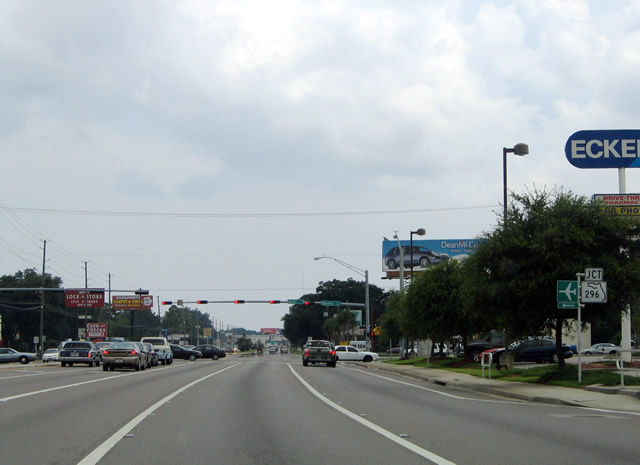
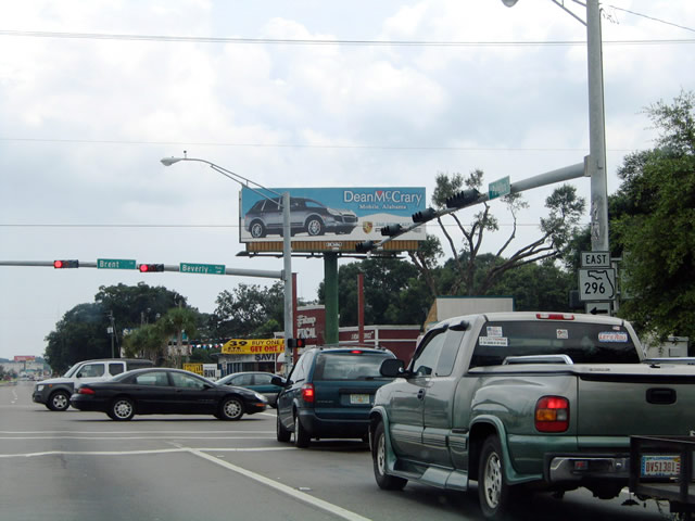
| County Road 95A (Palafox Street) merges with U.S. 29 (Pensacola Boulevard) ahead of SR 296 (Beverly Parkway west / Brent Lane east). 07/19/04 |
|
| SR 296 constitutes a five lane arterial westward to U.S. 90 (Mobile Highway) and east to Cordova Mall and 12th Avenue. SR 296 follows a circuitous route 9.66 miles from Bellview to U.S. 90 (Cervantes Street) near Bayou Texar in Pensacola. 07/19/04 |
|
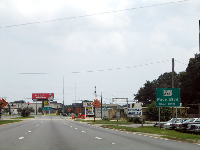
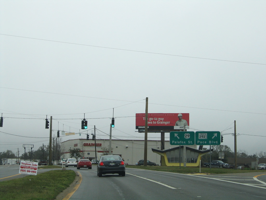
| U.S. 29 continues Palafox Street southward one half mile to a split with SR 292 (Pace Boulevard). The partition siphons a substantial amount of traffic from U.S. 29 for SR 292 south en route to Brownsville, West Pensacola, and Pensacola Naval Air Station. 07/19/04 |
|
| Pace Boulevard comprises a four to five lane surface arterial between Palafox Street and Barrancas Avenue near Bayou Chico. SR 292 takes a 24.75 mile journey from Brent to Perdido Key and Orange Beach, Alabama. 02/02/06 |
|
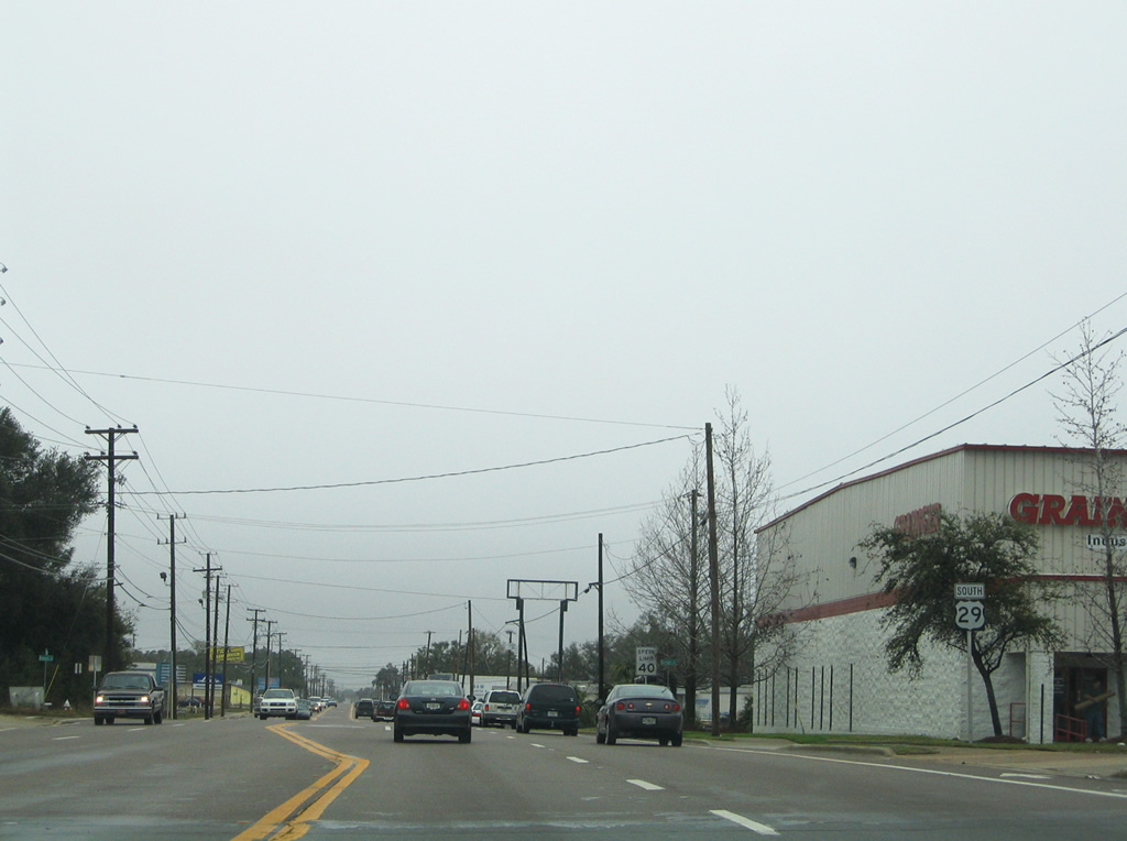
| U.S. 29 lines the city limits of Pensacola southeastward from Pace Boulevard to Leonard Street. Many industrial-type businesses line the arterial along this stretch. 02/02/06 |
|
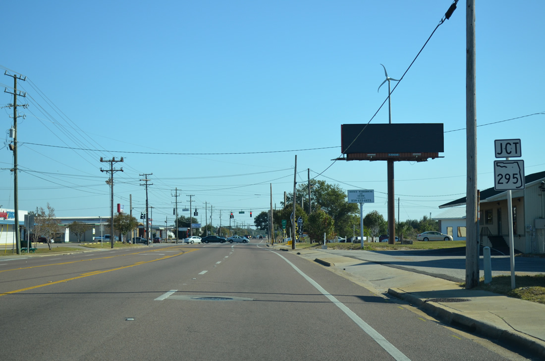
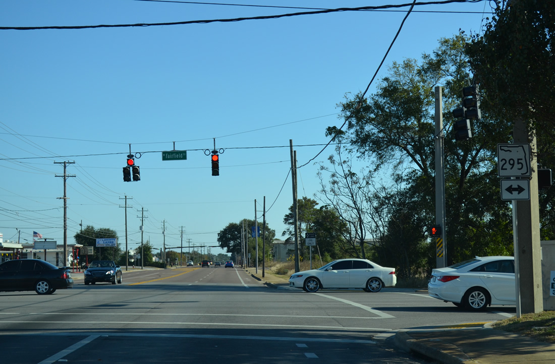
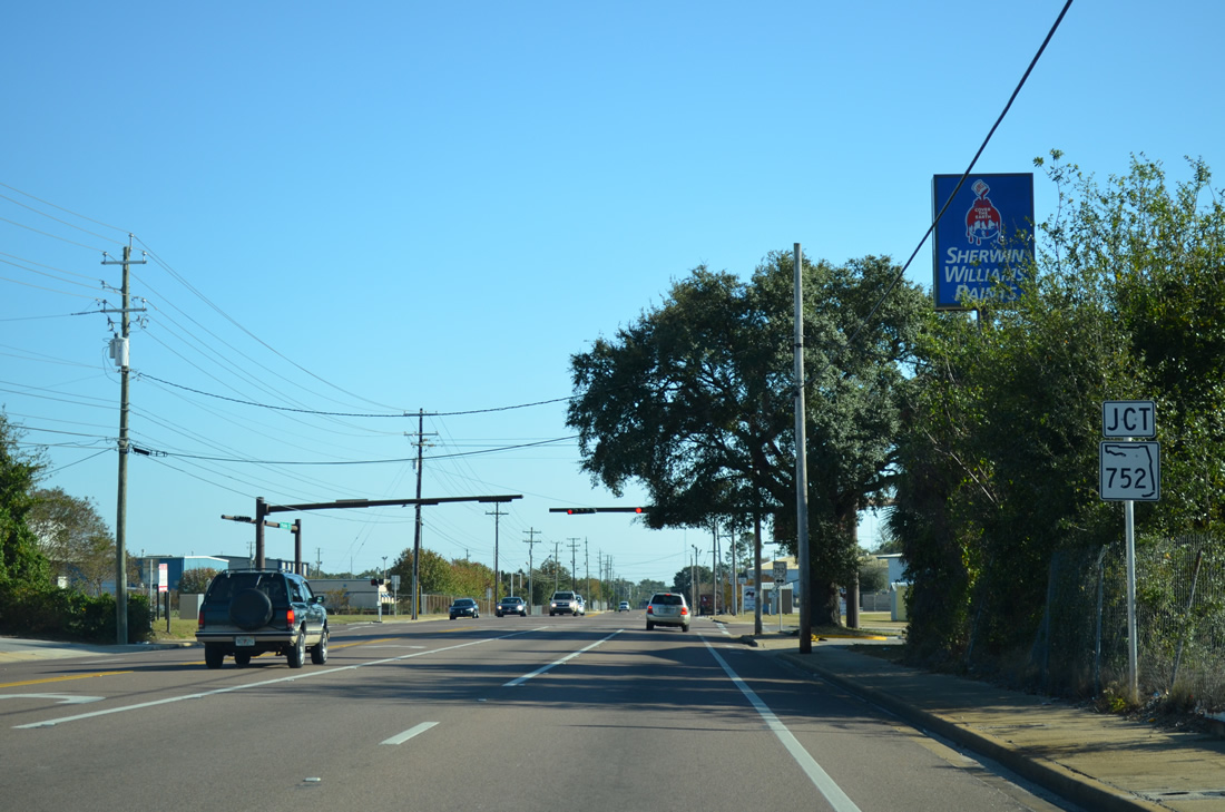
| Approaching SR 295 (Fairfield Drive) on U.S. 29 (Palafox Street) south at Pearl Avenue. SR 295 (Fairfield Drive) loops to the southwest and ends at the main gate of Pensacola Naval Air Station. Eastward, the state road meets Interstate 110 (Exit 4) in one half mile. 11/17/12 |
|
| SR 295 follows Fairfield Drive east to end at SR 289 (Ninth Avenue); connections with 12th Avenue lead motorists north to Pensacola International Airport (PNS) and Pensacola State College. SR 295 splits with Fairfield Drive (SR 727) south at New Warrington Spur, a short expressway near West Pensacola. 11/17/12 |
|
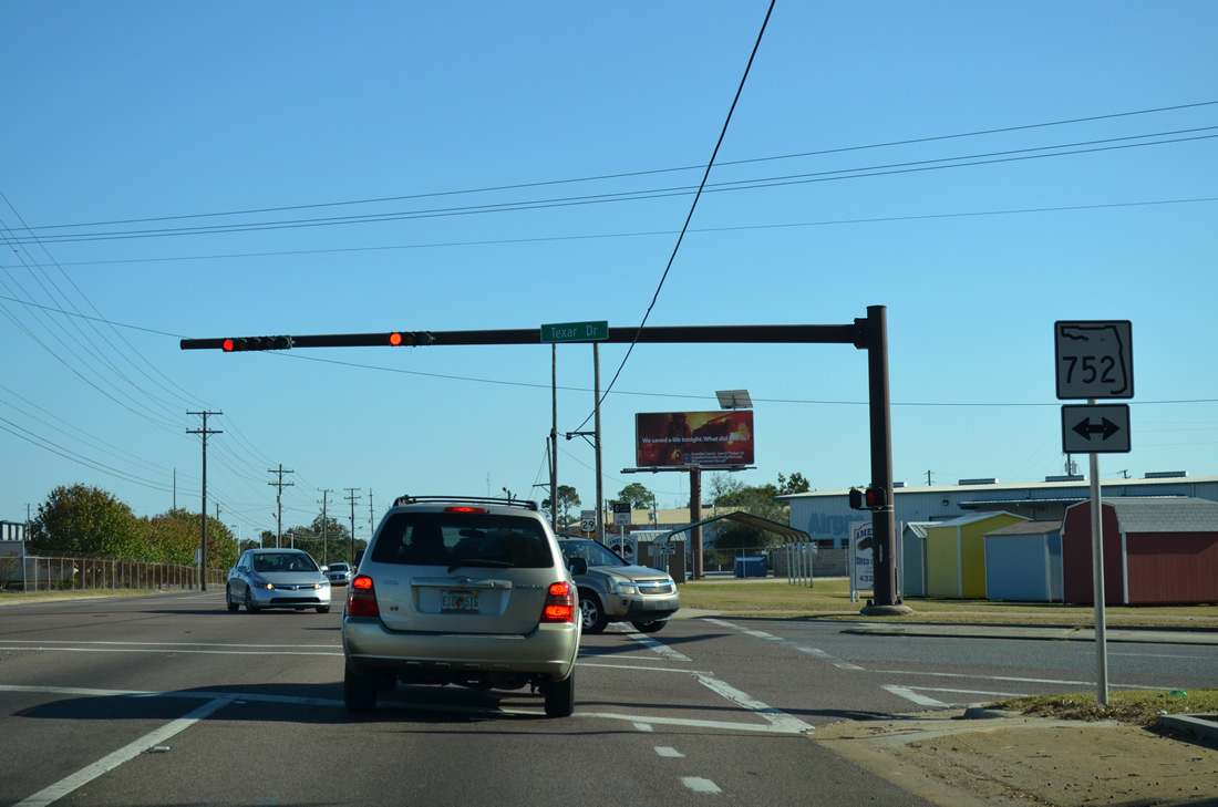
| SR 752 (Texar Drive) ties into U.S. 29 (Palafox Street) just south of SR 295 (Fairfield Drive). The state road spurs 1.19 miles east from Fairfield Drive to SR 289 (Ninth Avenue). 11/17/12 |
|
| U.S. 29 southbound at SR 752 (Texar Drive). One block to the left is the north end of E Street (former County Road 443), a secondary thoroughfare southward into Pensacola. 11/17/12 |
|
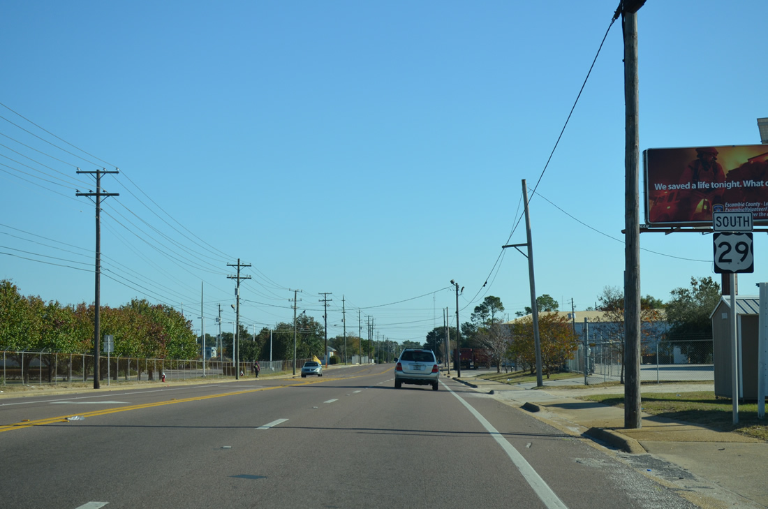
| Continuing southward on Palafox Street to the Pensacola city line on U.S. 29. 11/17/12 |
|
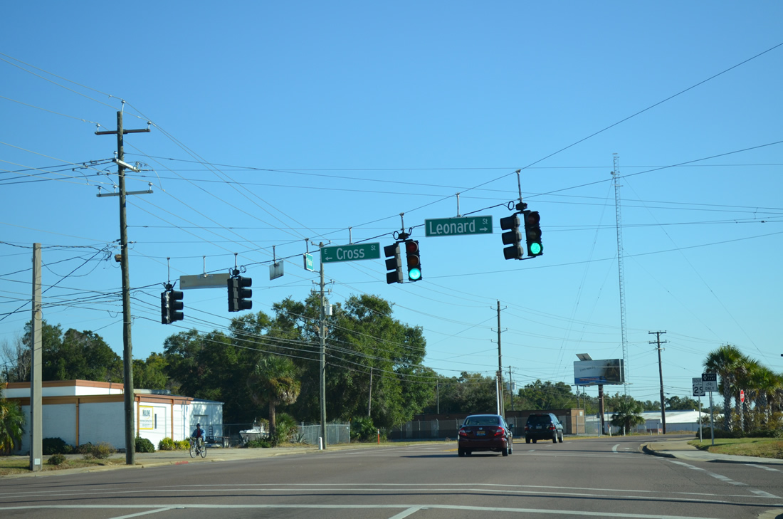
| Leonard Street (former County Road 480) arcs northwest from U.S. 29 (Palafox Street) to the City Service Center and St. Mary Avenue. Cross Street begins east of Palafox Street and travels to Yates Avenue on the Bayou Texar. 07/19/04 |
|
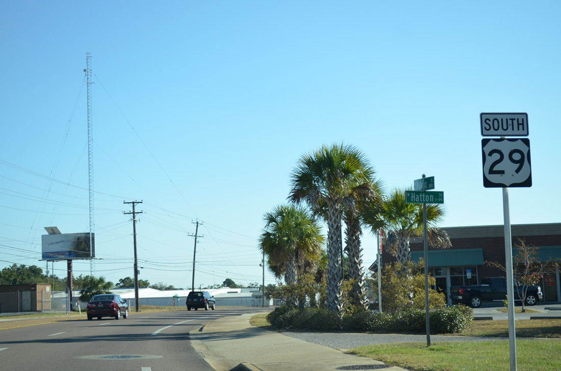
| U.S. 29 shield posted between Leonard Street and Hatton Street, a short connector between the two roads. 11/17/12 |
|
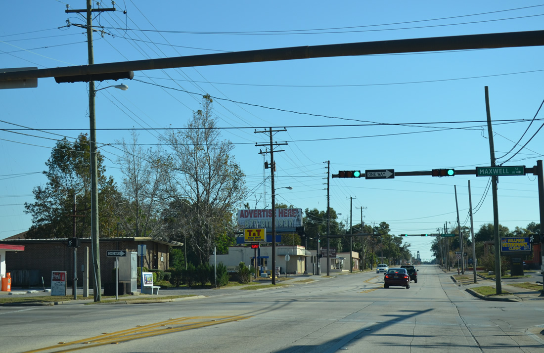
| Maxwell Street flows west from SR 289 (Ninth Avenue) to a half diamond interchange with Interstate 110 before intersecting U.S. 29 (Palafox Street). 11/17/12 |
|
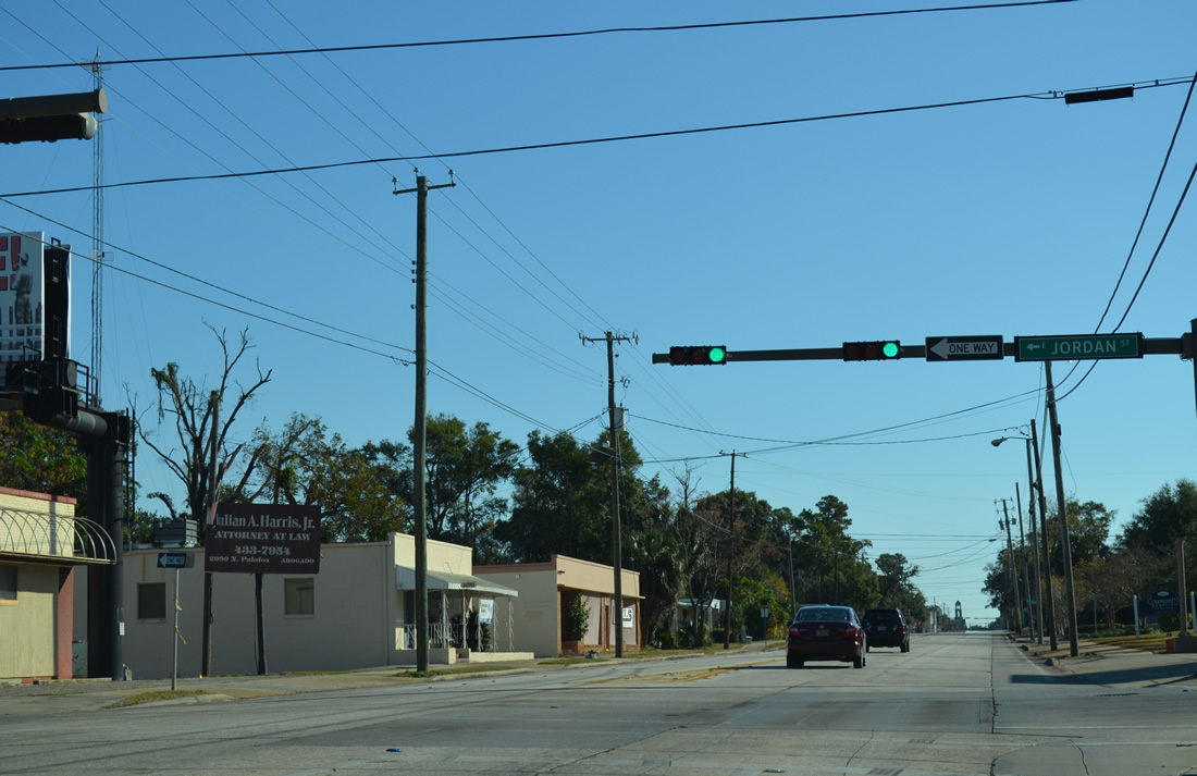
| Jordan Street flows opposite Maxwell Street to the Interstate 110 ramps from A Street to 12th Avenue in Pensacola. 11/17/12 |
|
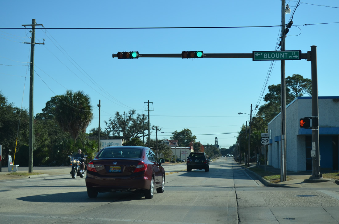
| Southbound U.S. 29 at Blount Street, an east-west street between A Street and Bayview Park on Bayou Texar. 11/17/12 |
|
| Seven blocks north of the U.S. 29 southern terminus is the final reassurance marker for the 1,036 mile route. 11/17/12 |
|
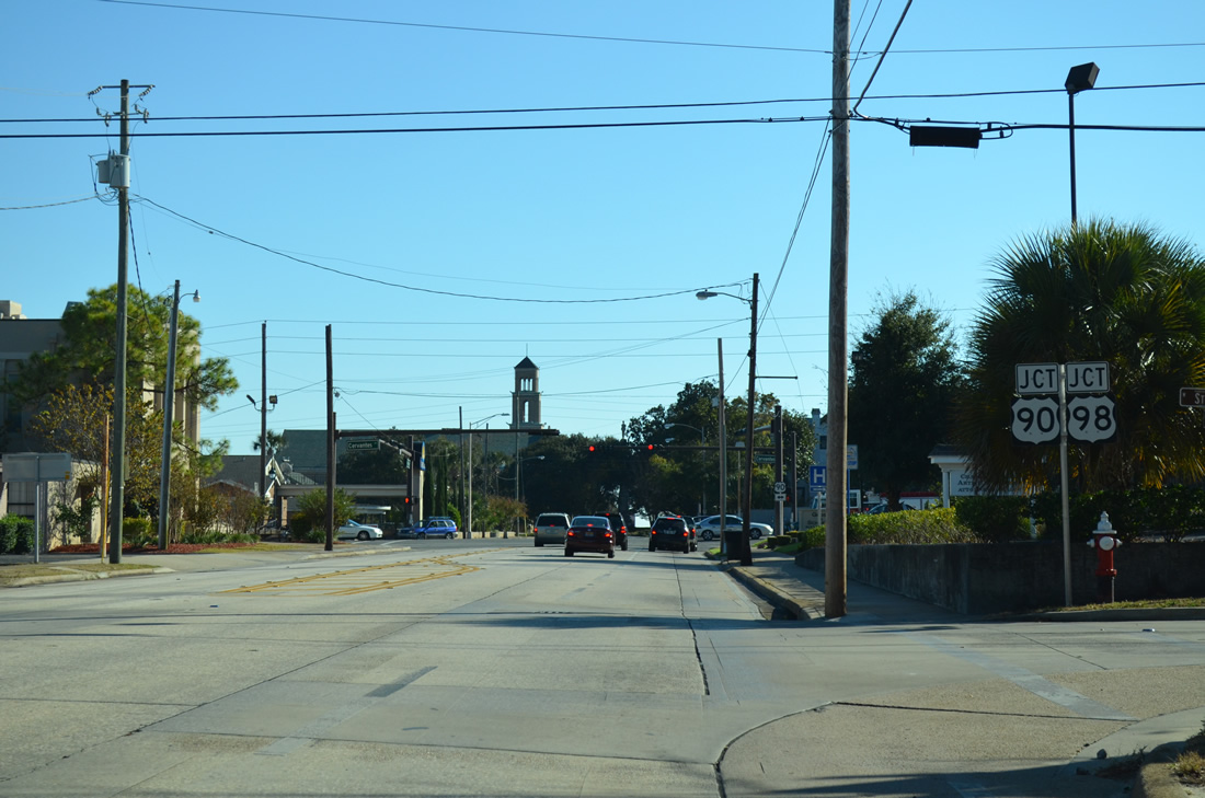
| U.S. 29 & SR 95 southbound conclude at the forthcoming intersection with Cervantes Street (U.S. 90/98). 11/17/12 |
|
| Palafox Street continues beyond the end of U.S. 29 through the Garden District to U.S. 98 Business (Garden Street) and Palafox Place into Downtown. U.S. 90/98 travel east across a viaduct to Interstate 110 and SR 291 (Alcaniz Street) to the left. Westward the pair continue to a split at Pace Boulevard (SR 292). 11/17/12 |
07/19/04, 02/01/06, 02/02/06, 02/08/06, 02/10/06, 08/01/08, 09/27/08, 07/24/11, 07/31/11, 09/30/12, 11/17/12 by AARoads
Page Updated 11-18-2012.

 South
South