|
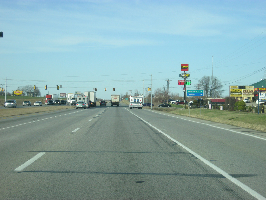
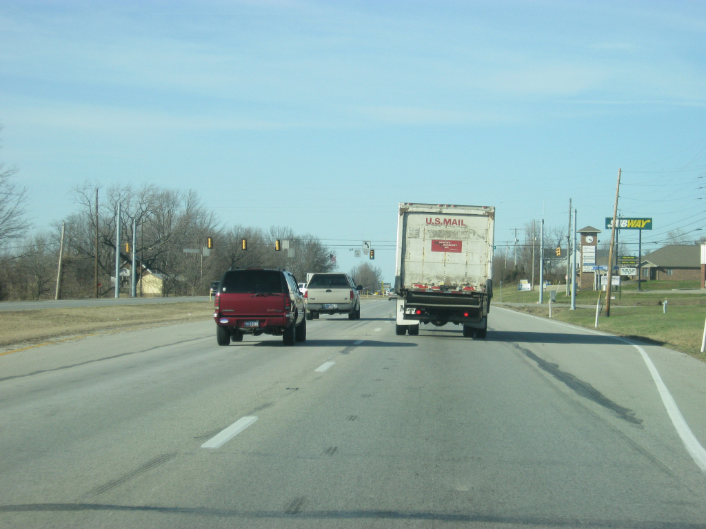
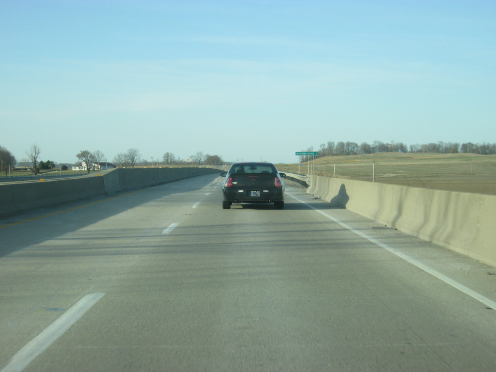
| North of the cloverleaf interchange with Interstate 64, U.S. 41 comes up to the intersection with County Road 1250 South west and Warrenton Road east, which travels one mile to the community of Warrenton. 03/06/12 |
|
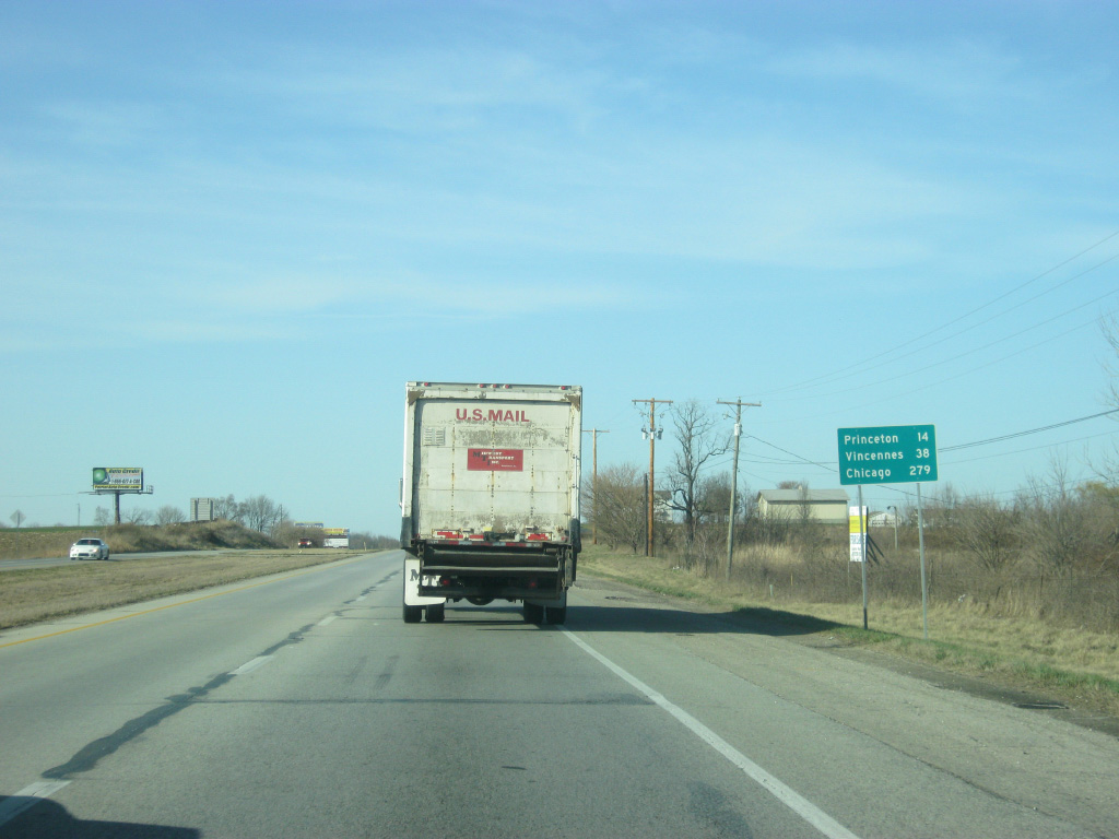
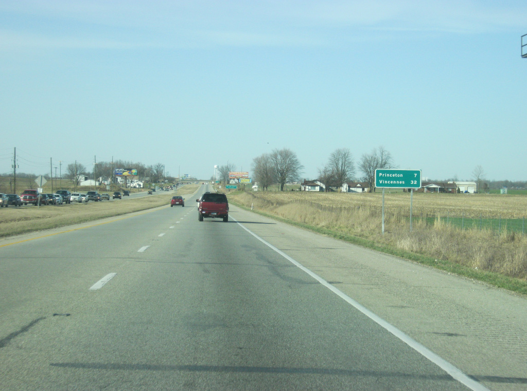
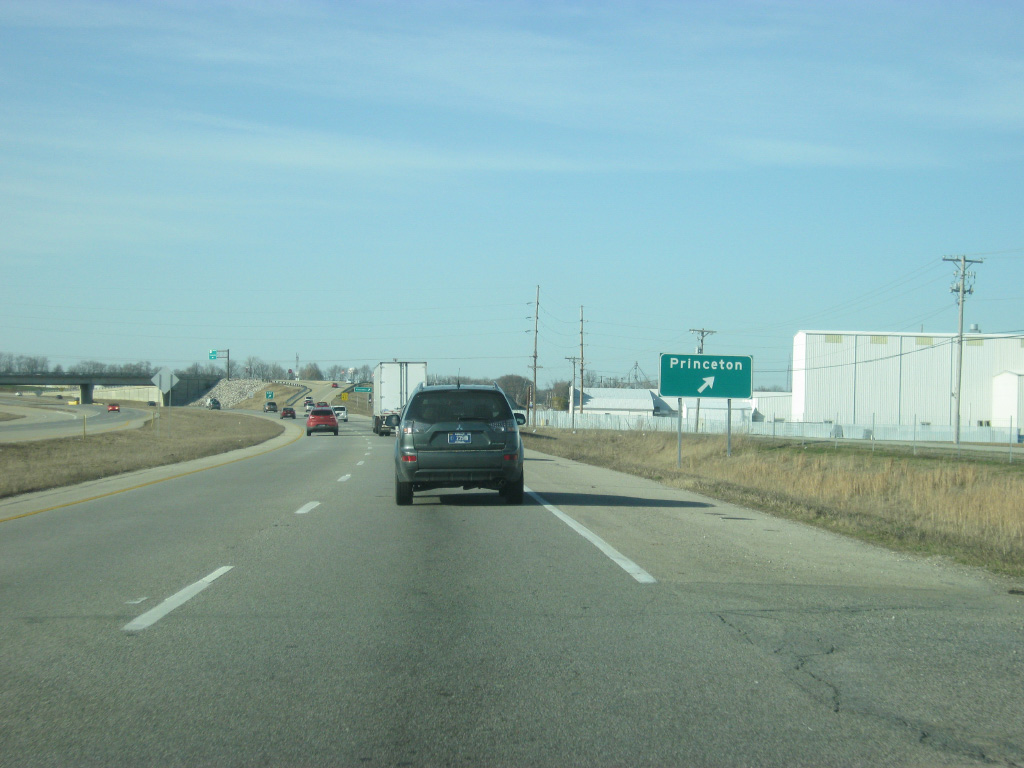
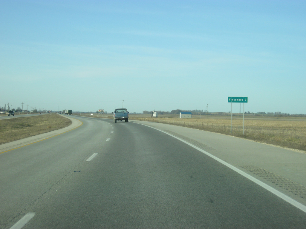
| Now leaving the commercial area near the interchange with Interstate 64, U.S. 41 is 14 miles from the Gibson County seat of Princeton and 38 miles away from the Knox County seat of Vincennes. Chicago, Illinois makes its first appearance on a distance sign with a distance of 279 miles, equating to a five and a half hour drive across the western tier of Indiana. 03/06/12 |
|
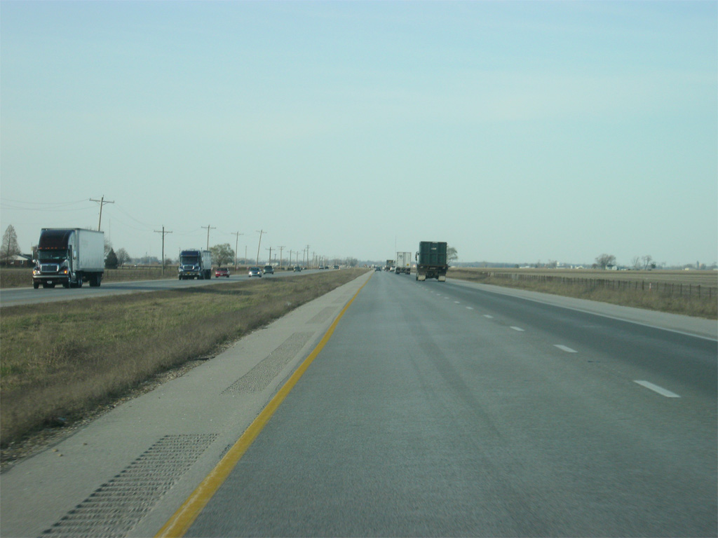
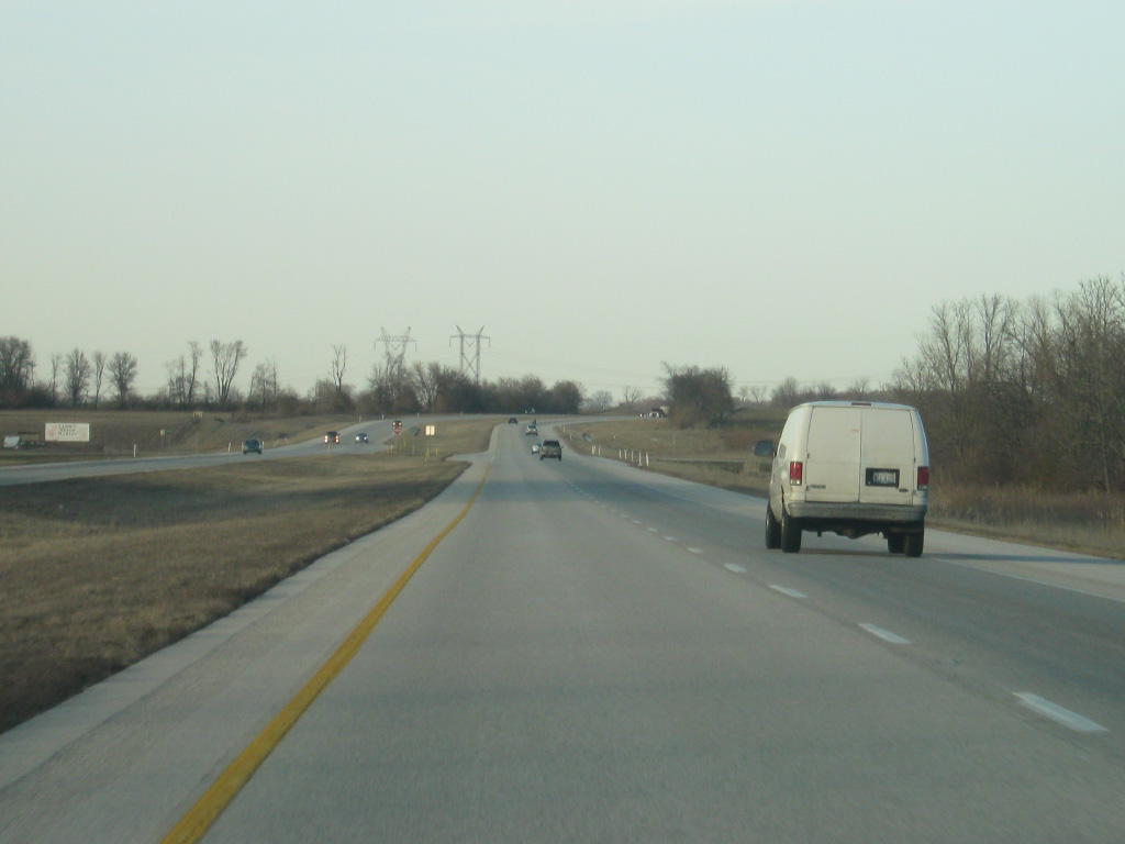
| North of Interstate 64, U.S. 41 remains a well-traveled highway as it connects the city of Princeton with Evansville. Southern Gibson County has also seen added growth from between Princeton and Interstate 64. 03/06/12 |
|
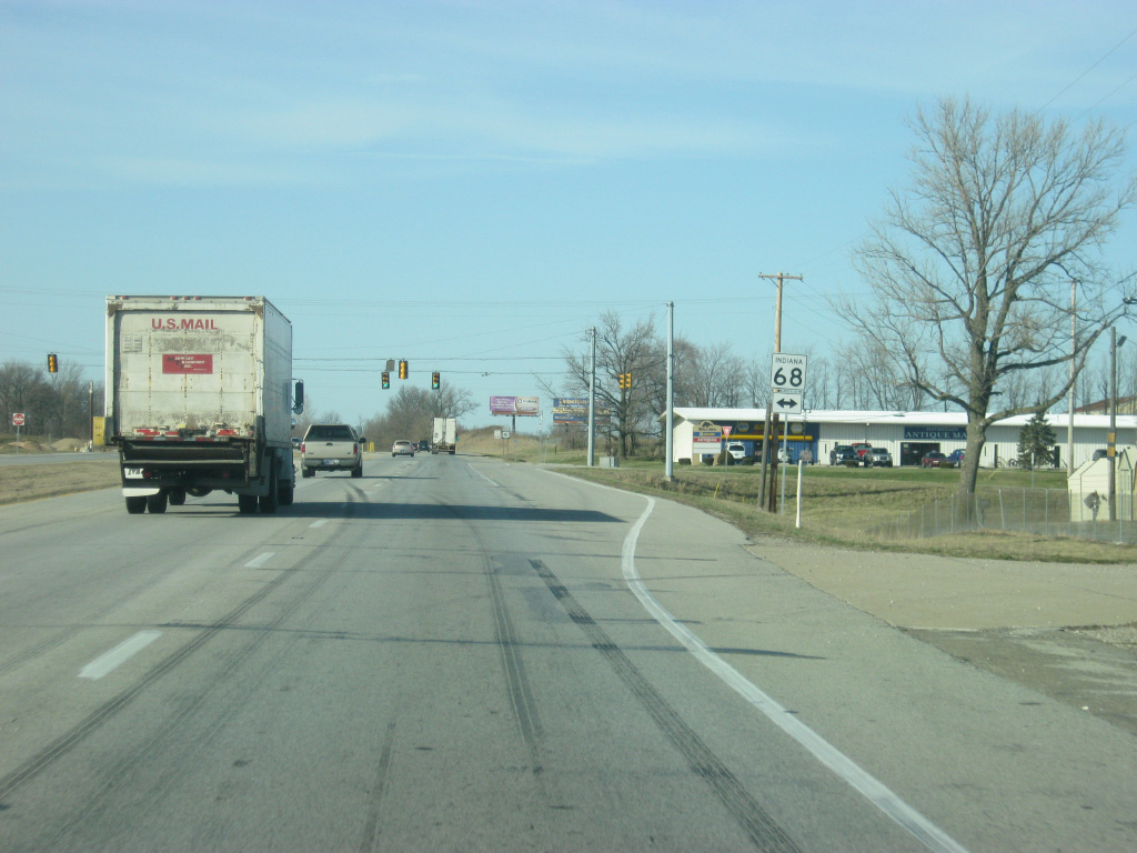
| U.S. 41 crosses the intersection with SR 68, a 53 mile route that stretches from SR 69 near New Harmony while passing through the small towns of Poseyville, Cynthiana, Haubstadt and Lynnville before ending at U.S. 231 near Dale. 03/06/12 |
|
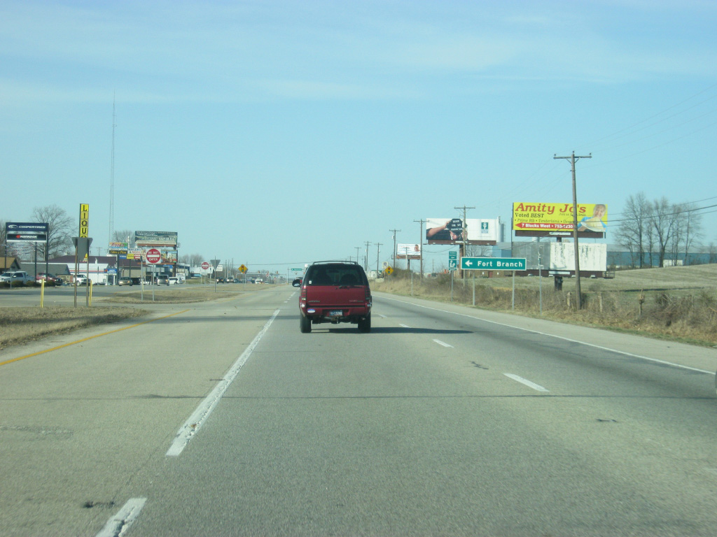
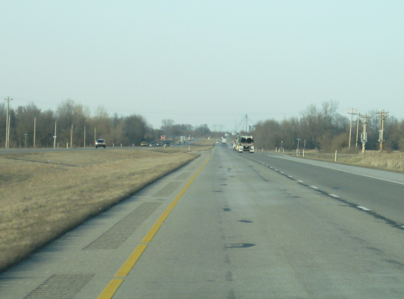
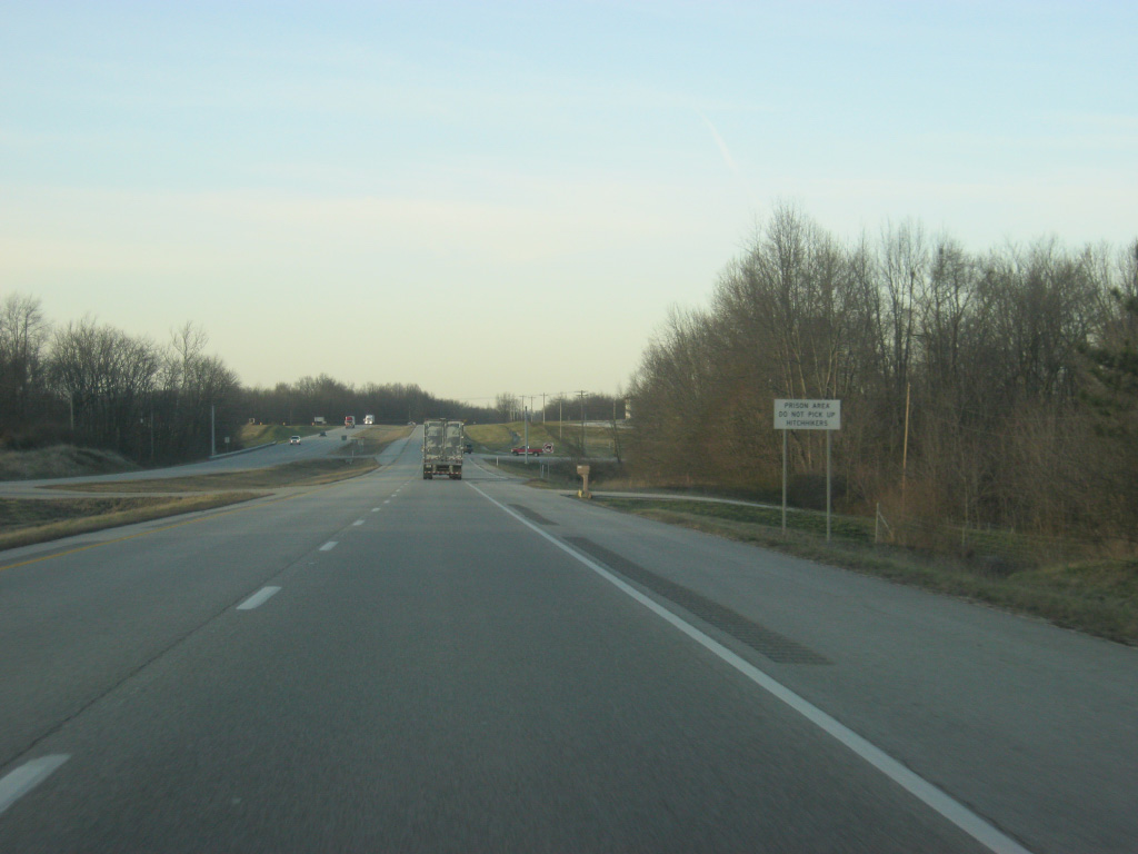
| Now coming up on the community of Fort Branch (population 2,771) at the intersection of U.S. 41 with County Road 800 South/Coal Mine Road. 03/06/12 |
|
| Strain Street connects U.S. 41 with the central part of Fort Branch to the west while County Road 750 South heads east from the highway. 03/06/12 |
|
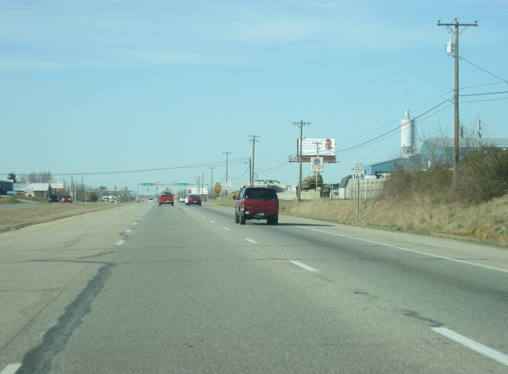
| SR 168 (Park Street), a 16.5 mile highway that goes from SR 65 in Owensville to SR 57 in Mackey, meets U.S. 41 up ahead. 03/06/12 |
|
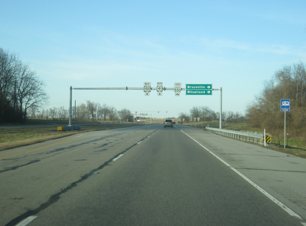
| North of the SR 168 intersection, the interchange with U.S. 41 and County Road 550 South approaches in one mile. 03/06/12 |
|
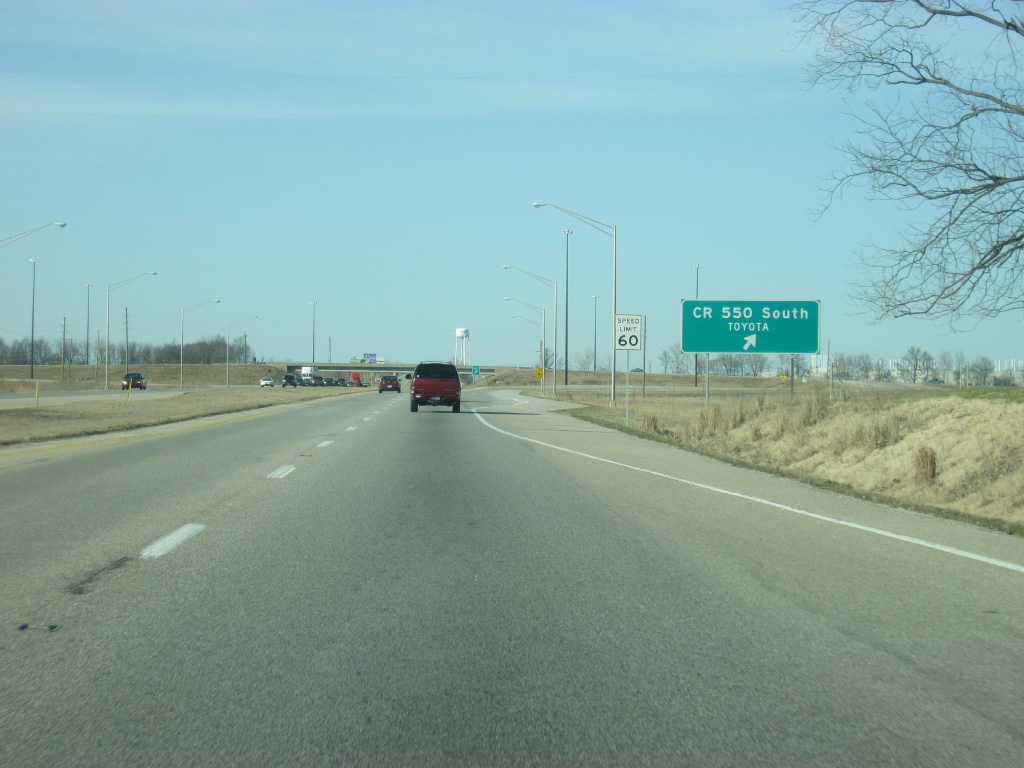
| Leaving Fort Branch, Princeton is now seven miles away with Vincennes getting closer at a distance of 32 miles. 03/06/12 |
|
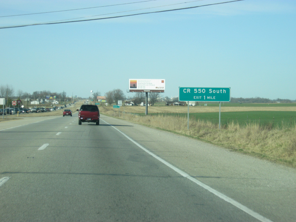
| The interchange for County Road 550 South turns off of U.S. 41 north. This interchange was built to serve the Toyota manufacturing plant that was built in the late 1990s to the south of Princeton. The interchange made it easier to access the plant from the south toward Interstate 64 and Evansville. 03/06/12 |
|
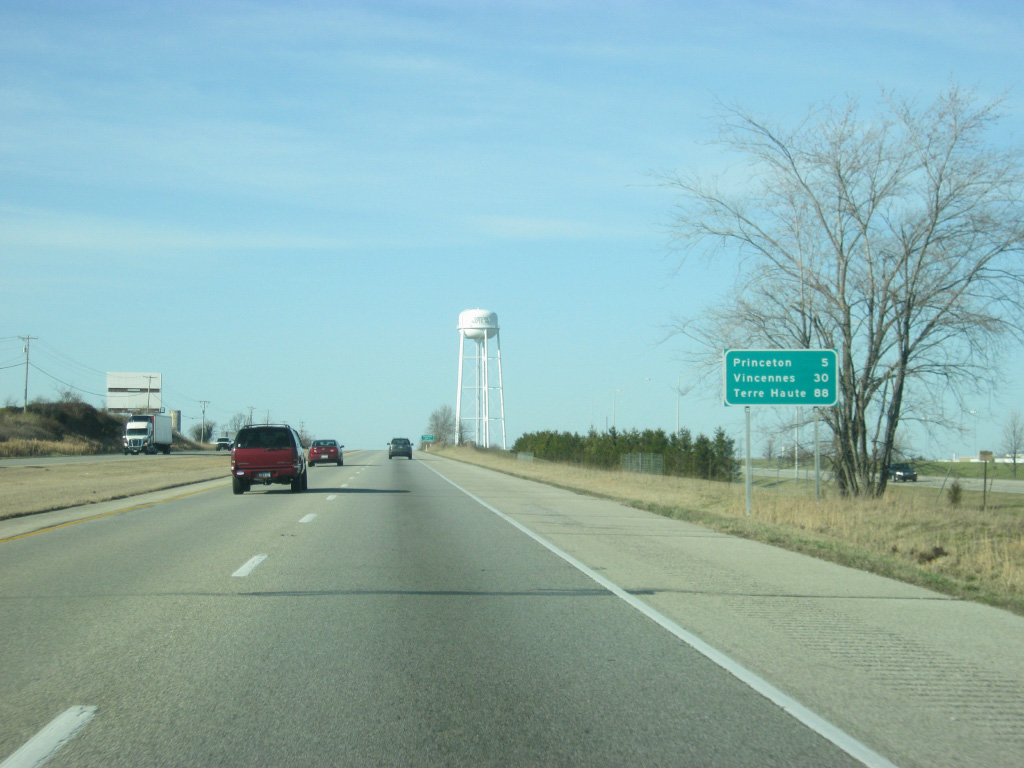
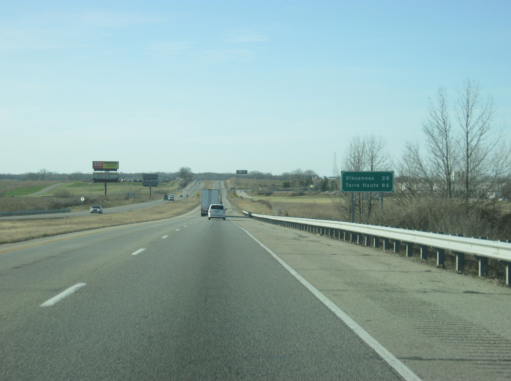
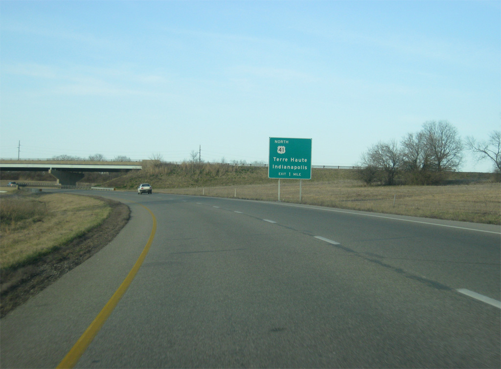
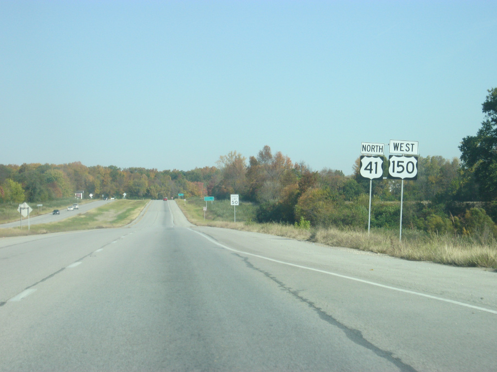
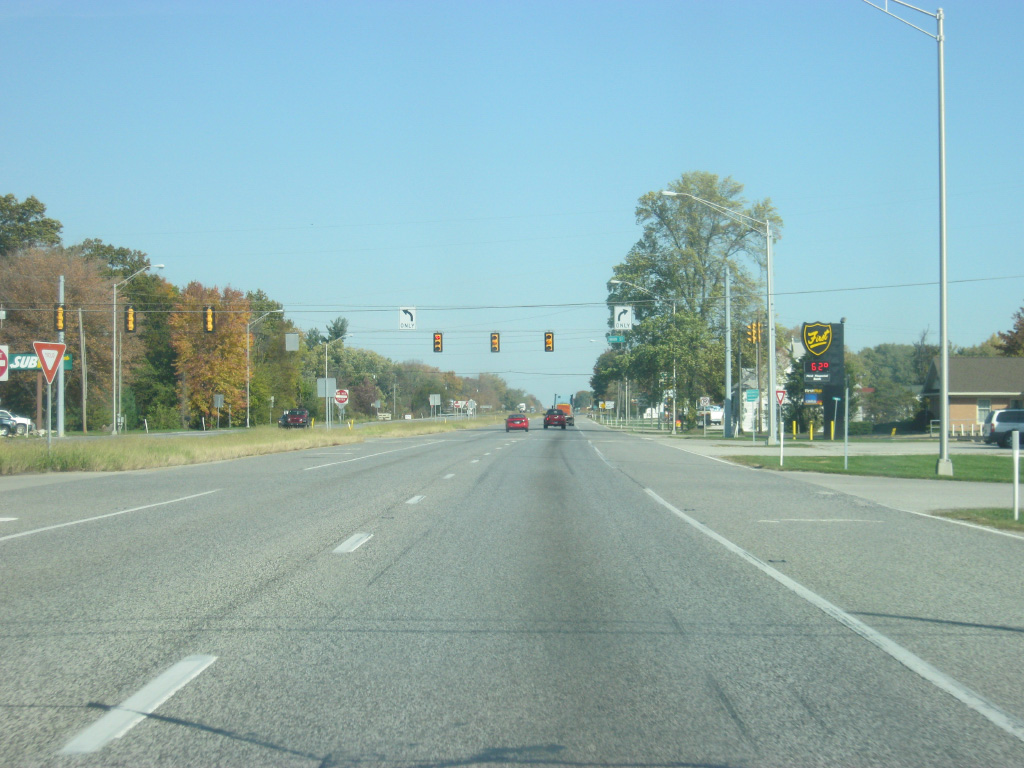
| North of the County Road 550 South interchange, Princeton and Vincennes are both two miles closer with Terre Haute, the largest city along U.S. 41 between Evansville and Chicago, 88 miles away. 03/06/12 |
|
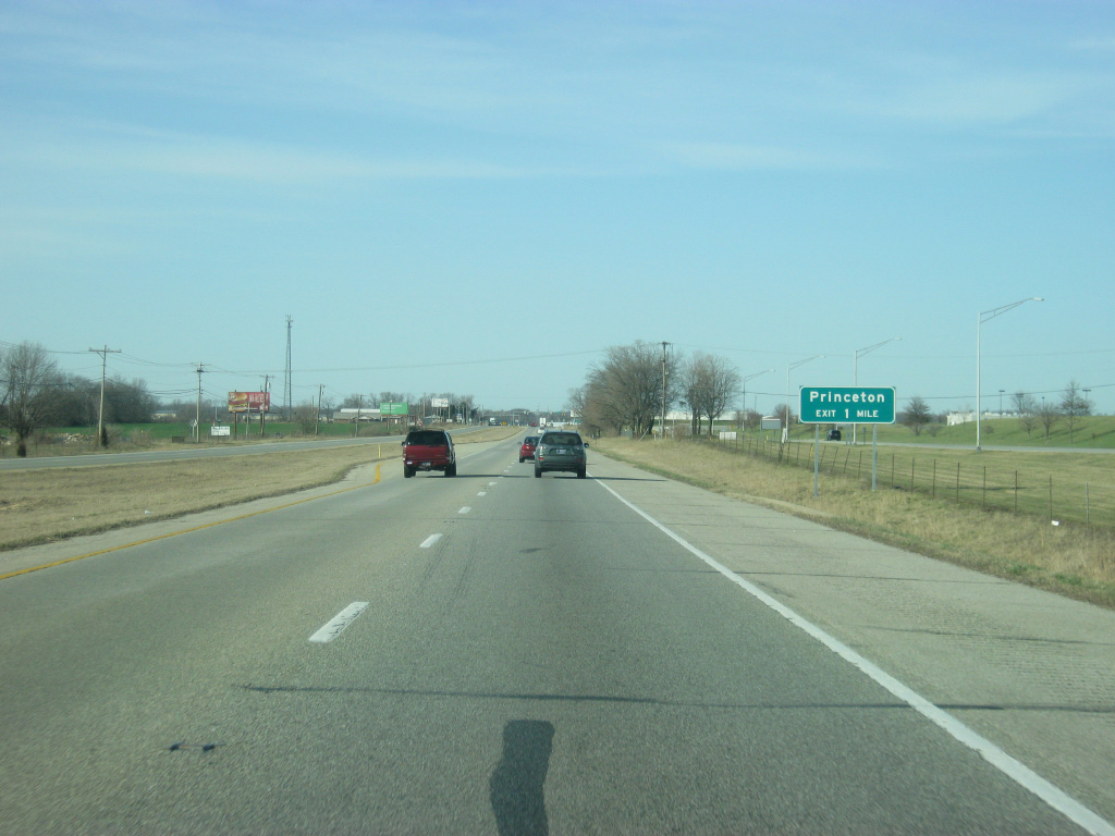
| Two interchanges serve the Gibson County seat of Princeton (population 8,644). 03/06/12 |
|
| Now a mile away from the interchange with Main Street (old U.S. 41) and County Road 300 South. 03/06/12 |
|
| Before the interchange with Main Street/County Road 300 South, U.S. 41 has an intersection with County Road 350 South, which provides a northern entrance to the Toyota plant. The plant is responsible for some of the suburban growth in southern Gibson County as well as within Princeton itself. 03/06/12 |
|
| An exit ramp turns off of U.S. 41 north for Main Street, which follows the former path of U.S. 41 into Downtown Princeton. To the west, County Road 300 South continues west into rural areas of Gibson County. 03/06/12 |
|
| North of the interchange with Main Street/County Road 300 South, Vincennes now is 28 miles away with Terre Haute at 86 miles. 03/06/12 |
|
| U.S. 41 begins its bypass of the city of Princeton while approaching a signalized intersection with County Road 100 West. 03/06/12 |
|
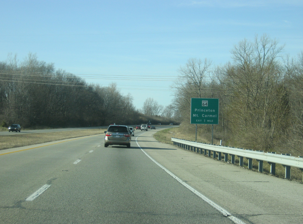
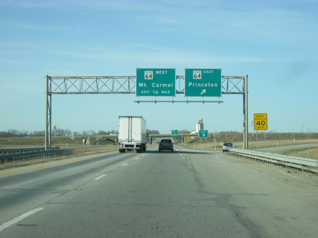
| On the west side of Princeton, U.S. 41 is one mile away from the cloverleaf interchange with SR 64 (Broadway Avenue) in a commercialized area of the city. While the signs don't mention it, SR 65 multiplexes with SR 64 at the U.S. 41 interchange. SR 65 travels for 47.7 miles from SR 66 northwest of Evansville and follows a path to the northeast that ends at SR 56 west of Petersburg. 03/06/12 |
|
| SR 64 (Broadway Avenue) goes for 107 miles from the Wabash River outside of Mt. Carmel, Illinois and east through the communities of Princeton, Oakland City, Huntingburg and English before ending at Interstate 64 near Georgetown. The stretch of SR 64 in between Princeton and Mt. Carmel has been slated for expansion to four lanes due to increased traffic in between the two communities, beginning with the construction of a new bridge over the Wabash River at Mt. Carmel. 03/06/12 |
|
| A ramp directs traffic off of U.S. 41 north onto SR 64 & SR 65 (Broadway Avenue) east. SR 64 (Broadway Avenue) travels the length of the city of Princeton while SR 65 heads north along Main Street out from downtown. SR 64 will meet with Interstate 69 about 11 miles to the east near Oakland City. Up ahead, the ramp for SR 64 & SR 65 (Broadway Avenue) west leaves U.S. 41 north. SR 65 remains multiplexed with SR 64 for 4.8 miles to their split near Lyles Station. SR 65 continues to the south from there toward Owensville while SR 64 goes for another 4.7 miles to the Wabash River and the community of Mt. Carmel, Illinois. 03/06/12 |
|
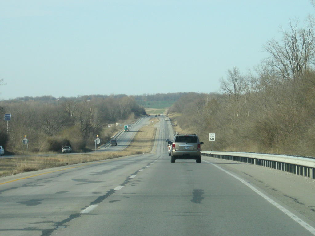
| Traffic along U.S. 41 drops as the highway heads north from the interchange with SR 64 & SR 65. From Princeton northward U.S. 41 takes on a decidedly rural character as it continues north toward Vincennes and Terre Haute. 03/06/12 |
|
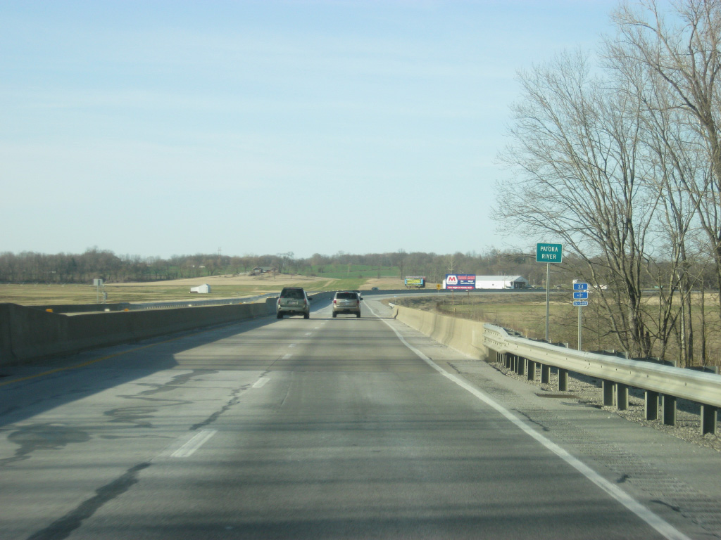
| U.S. 41 crosses the Patoka River as it begins to bypass the town of Patoka. 03/06/12 |
|
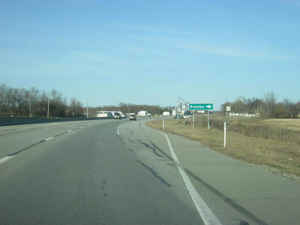
| U.S. 41 crosses County Road 350 North, which heads east into the town of Patoka. 03/06/12 |
|
| North of Patoka, Main Street (the same from Princeton) rejoins U.S. 41 as the four lane highway follows its original routing once again. 03/06/12 |
|
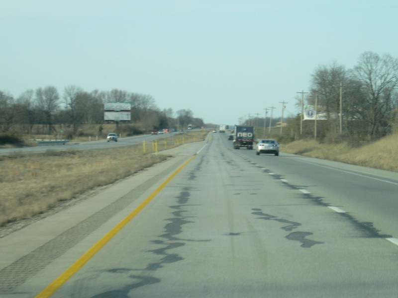
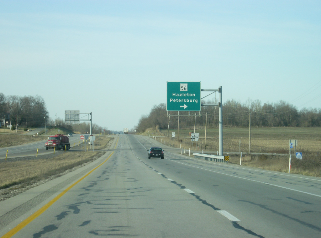
| In northern Gibson County, U.S. 41 intersects with SR 56, which begins its 194 mile journey across southern Indiana here. From this spot, it is two miles to the town of Hazelton and 19 miles to the Pike County seat of Petersburg. From there, the state highway continues east toward Jasper, French Lick, Paoli, Salem, Scottsburg, Madison, Vevay and Rising Sun before ending at U.S. 50 in Aurora. 03/06/12 |
|
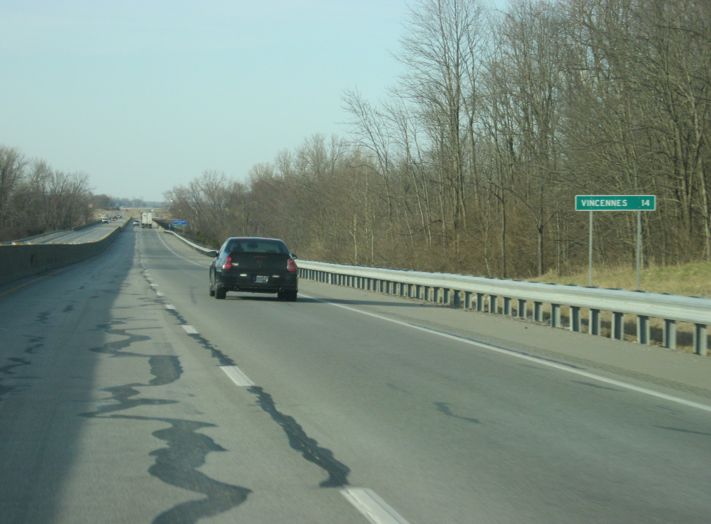
| North of the junction with SR 56 east, U.S. 41 is now 14 miles from Vincennes. 03/06/12 |
|
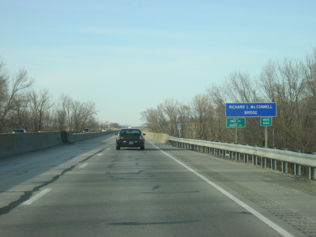
| U.S. 41 crosses the Richard L. McConnell Bridge over the White River to enter Indiana's oldest county, Knox County (population 38,440). Crossing into Knox County, U.S. 41 enters the Eastern Time Zone for the first time since the Chattanooga area. 03/06/12 |
|
| On the other side of the bridge over the White River, U.S. 41 crosses the intersection with Decker Chapel Road, which heads west three miles to the community of Decker Chapel. 03/06/12 |
|
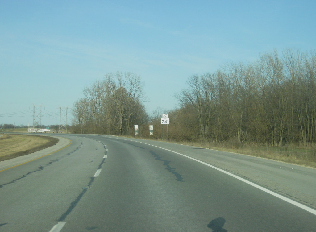
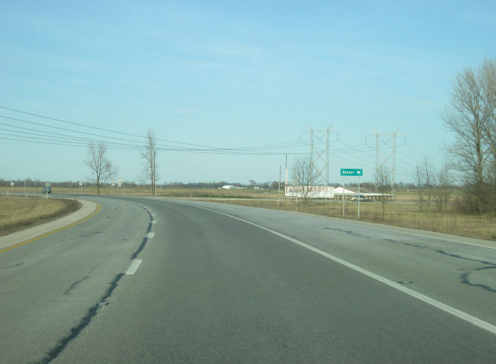
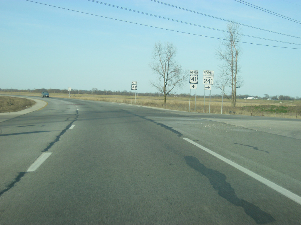
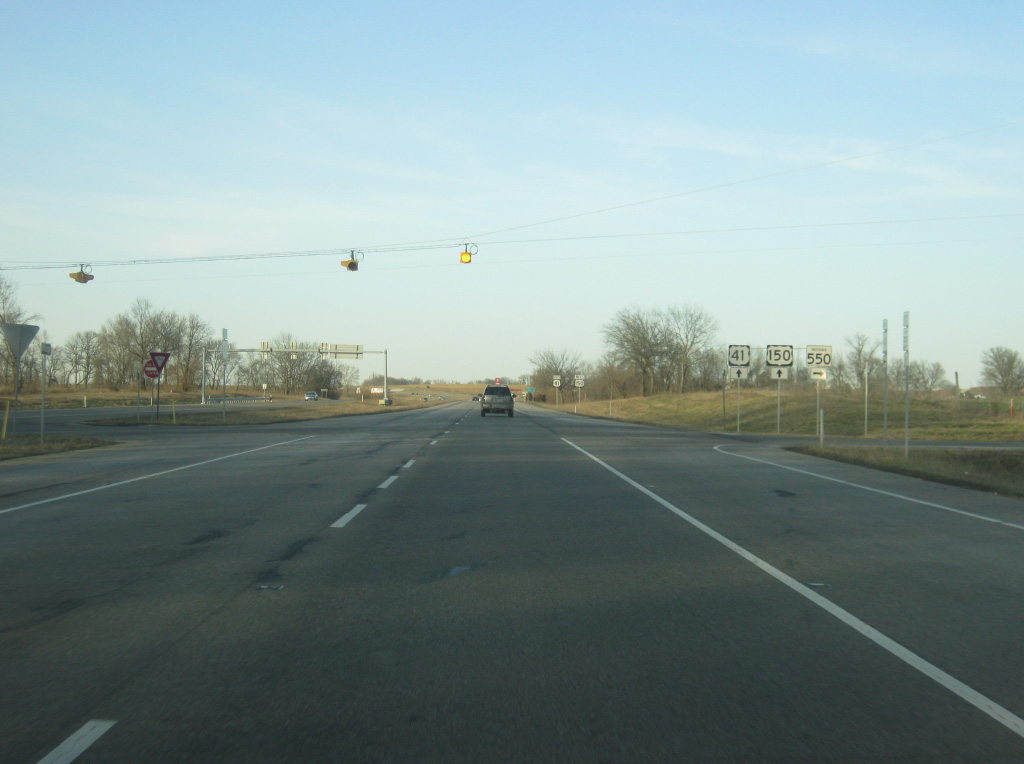
| U.S. 41 approaches the intersection with SR 241 east. SR 241 goes for 18 miles from U.S. 41 to U.S. 50 near the town of Wheatland. The town of Decker is less than a mile to the east of U.S. 41. 03/06/12 |
|
| SR 241 east turns off of U.S. 41 en route to Decker, Monroe City and Wheatland. 03/06/12 |
|
| North of the junction with SR 241 east, Vincennes is now only nine miles away. 03/06/12 |
|
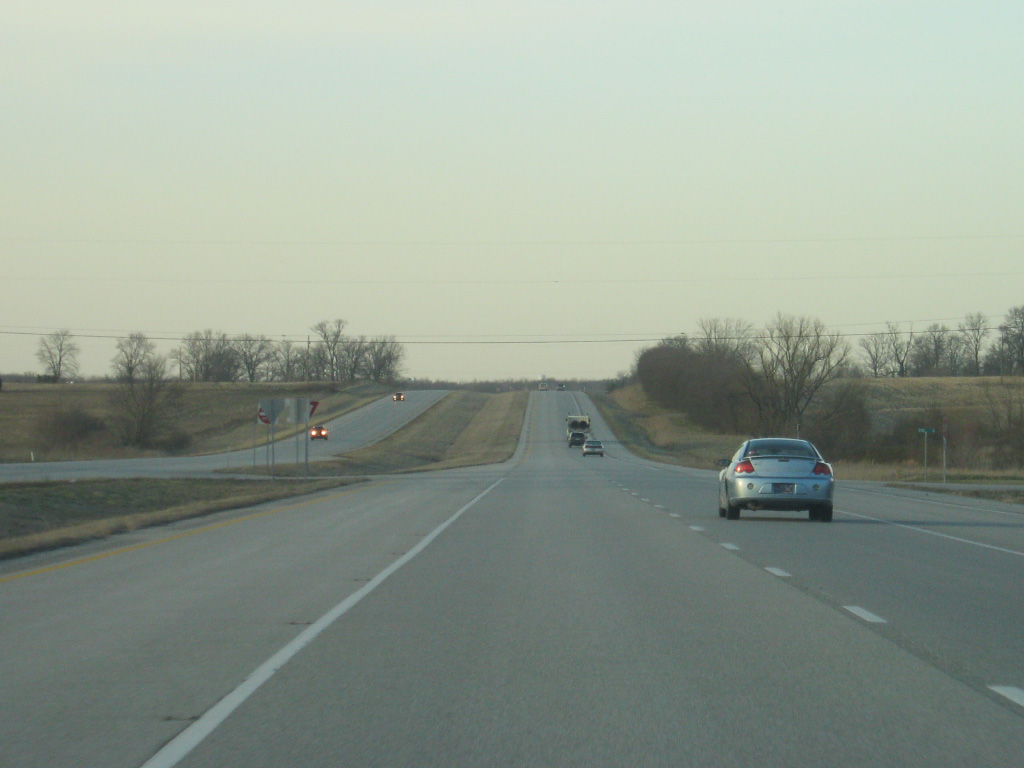
| North of SR 241 east, U.S. 41 follows a due north path toward Vincennes. The geography along the stretch of U.S. 41 across Knox County is generally flat as the highway follows the Wabash River valley all the way north to Attica. 03/06/12 |
|
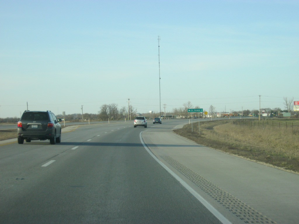
| St. Thomas Road heads west from U.S. 41 to the community of St. Thomas while County Road 800 South continues to the east. 03/06/12 |
|
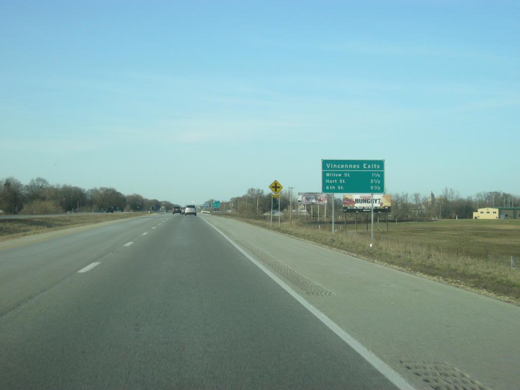
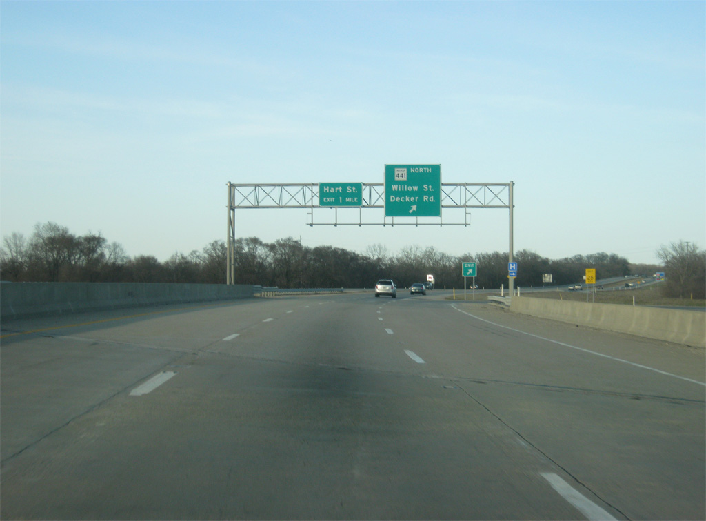
| A sign announces the upcoming interchange along U.S. 41 serving the city of Vincennes. Willow Street is the first exit at a distance of 1 1/4 miles. Hart Street and 6th Street follow at 2 1/2 and 5 1/2 miles respectively. 03/06/12 |
|
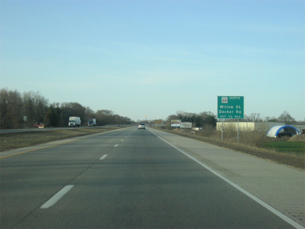
| The first interchange along U.S. 41 serving Vincennes is with SR 441 north (Willow Street) and Decker Road. SR 441 is a very short, 2.6 mile highway leading north from U.S. 41 to Downtown Vincennes via Willow Street and 6th Street. The highway follows Vigo Street to the Lincoln Memorial Bridge across the Wabash River where the highway ends. 03/06/12 |
|
| Now a half mile from the interchange with SR 441 north (Willow Street) and Decker Road, which continues south toward the community of Decker, via some other roads. 03/06/12 |
|
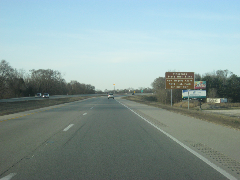
| Vincennes is Indiana's oldest community, being founded in 1732 as a French trading post and trading hands between the British and Americans during the American Revolution. As a result, Vincennes has several historical attractions to celebrate its heritage. Among them are the George Rogers Clark National Historic Park along the Wabash River and the Vincennes State Historic Sites. All of these can be reached via SR 441 north (Willow Street). 03/06/12 |
|
| The ramp for SR 441 north (Willow Street) and Decker Road turns off of U.S. 41 north, which becomes a freeway for its bypass around the city of Vincennes (population 18,423). SR 441 also follows the routing of old U.S. 41 north to 6th Street, where the former U.S. 41 traveled back to the current bypass. 03/06/12 |
|
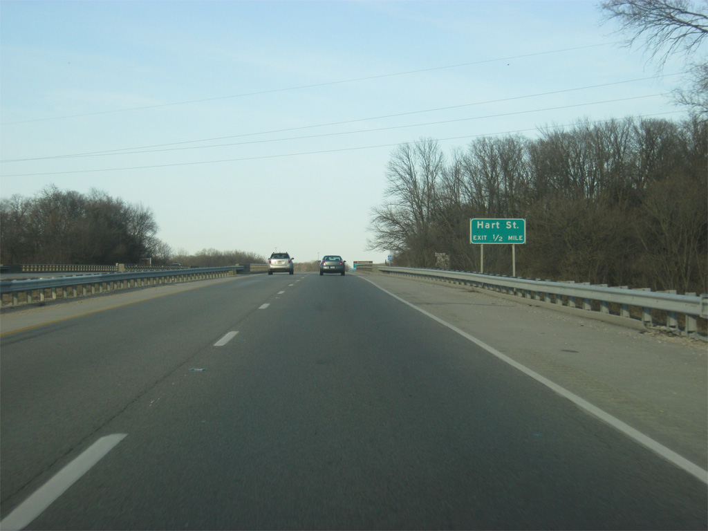
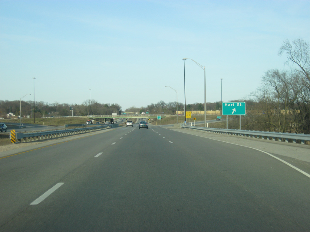
| North of the SR 441 north (Willow Street) and Decker Road interchange is the Hart Street interchange on the southeast side of Vincennes. 03/06/12 |
|
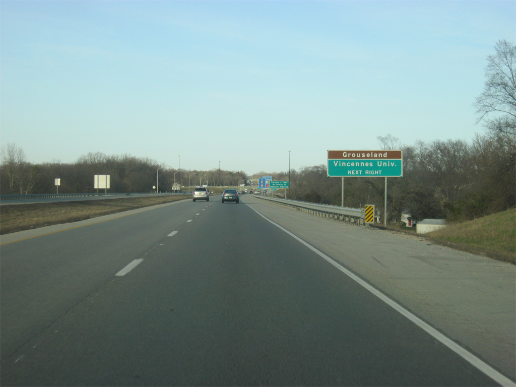
| Grouseland, the mansion for William Henry Harrison when he was Governor of the Indiana Territory, is among the State Historic Sites in central Vincennes. Both Grouseland and Vincennes University, Indiana's oldest university, can be reached via Hart Street to the northwest of U.S. 41. 03/06/12 |
|
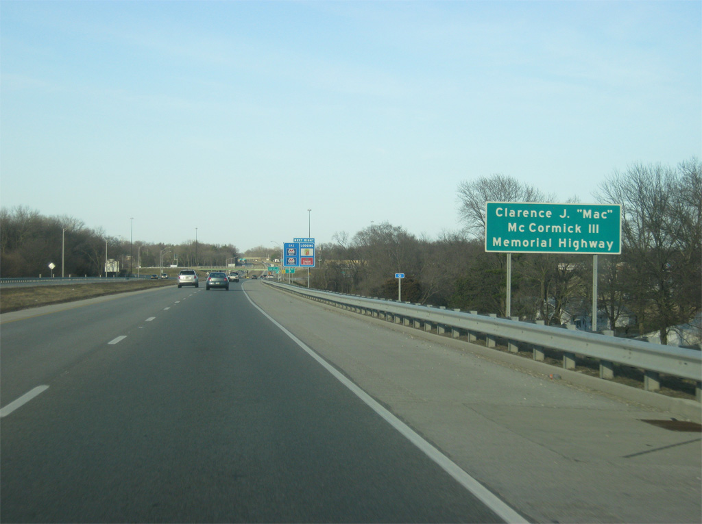
| The stretch of U.S. 41 from between the interchange with SR 441 north (Willow Street) / Decker Road and U.S. 50 west/6th Street is named for Clarence J. "Mac" McCormick III, a local business leader. The U.S. 41 bypass dates back to the 1960s when it was part of a proposed routing for Interstate 64 that would have utilized the U.S. 150 corridor from Louisville to Vincennes and U.S. 50 across from Vincennes to St. Louis. Political and business interests moved the Interstate 64 routing further to the south toward Evansville and the freeway bypass of Vincennes that continues onto U.S. 50 west toward Lawrenceville, Illinois has remained the same since. 03/06/12 |
|
| The ramp for Hart Street turns off of U.S. 41 north. The Hart Street interchange serves as the commercial heart of the Vincennes and Knox County region benefiting from the freeway access to U.S. 41 and nearby U.S. 50 & U.S. 150. Hart Street continues to the northwest toward central Vincennes otherwise. 03/06/12 |
|
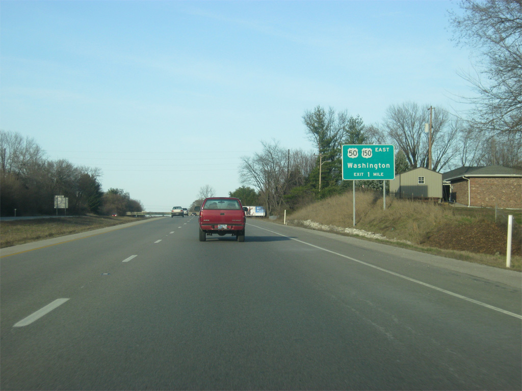
| To the north of the Hart Street interchange, U.S. 41 approaches the junction with U.S. 50 & U.S. 150. U.S. 50 goes for 3,008 miles across the United States from West Sacramento, California to Ocean City, Maryland. In Indiana it goes for 171.5 miles from the Wabash River near Vincennes to the east through Washington, Loogootee, Shoals, Bedford, Seymour, North Vernon, Versailles, and Lawrenceburg before entering Ohio near Cincinnati. 03/06/12 |
|
| U.S. 150 travels for 571 miles from Mt. Vernon, Kentucky to Moline, Illinois. In Indiana, the highway travels to the northwest from Louisville toward Paoli and Shoals, meeting with U.S. 50 and continuing west to Loogootee, Washington and Vincennes. The highway will multiplex with U.S. 41 north from Vincennes to Terre Haute before it splits off toward Paris, Illinois. 03/06/12 |
|
| U.S. 50 & U.S. 150 meet U.S. 41 at a tri-level stack interchange. U.S. 50 & U.S. 150 head east from U.S. 41 as a four lane expressway for 18 miles to the Daviess County seat of Washington and the interchange with Interstate 69. 03/06/12 |
|
| Within the large footprint of the U.S. 41, U.S. 50 & U.S. 150 tri-level stack interchange is a sign for the interchange with 6th Street south and U.S. 41 north & U.S. 150 west. For some unknown reason the U.S. 150 shield is missing on this sign. 03/06/12 |
|
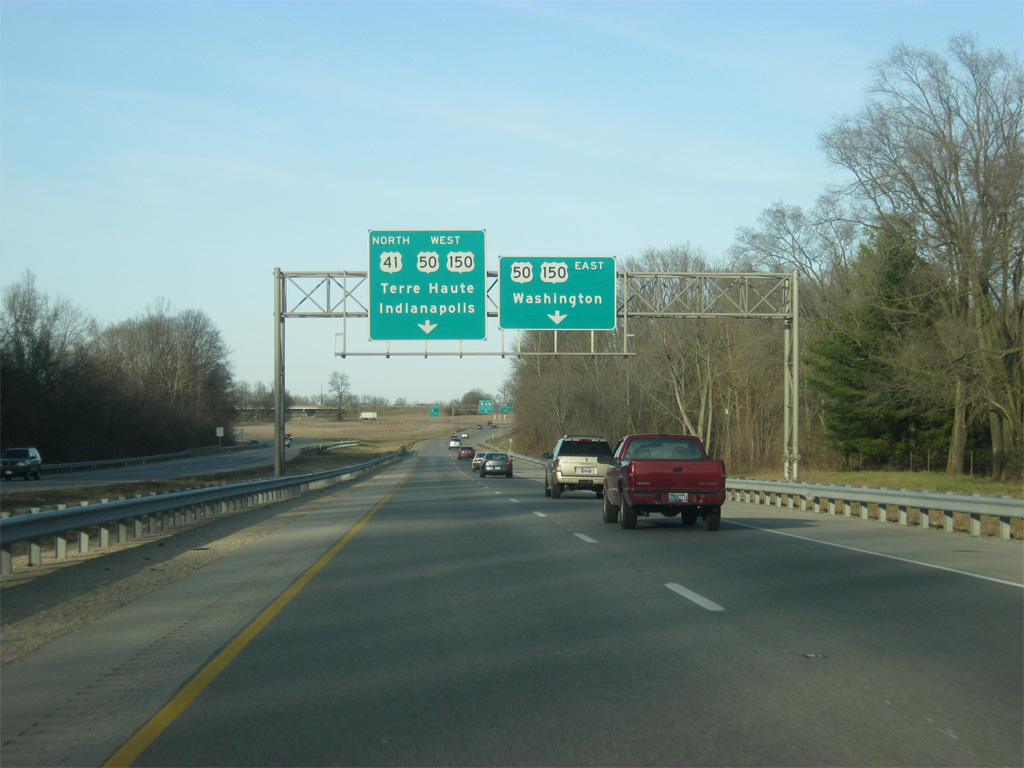
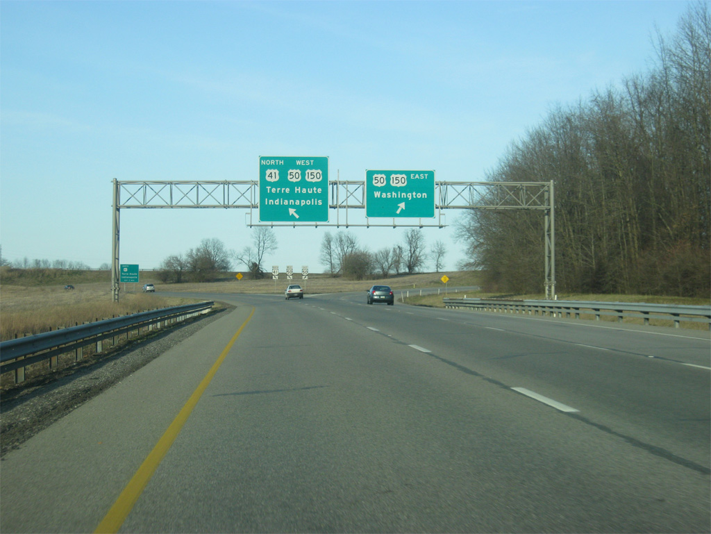
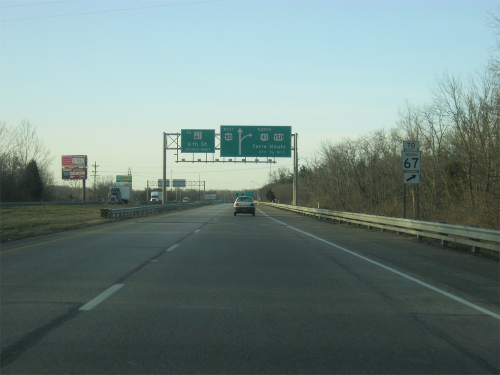
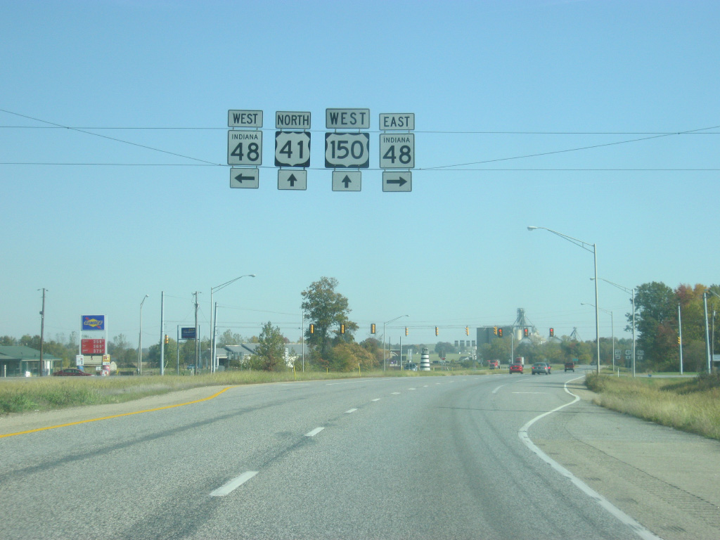
| U.S. 41 is now multiplexed with U.S. 50 west and U.S. 150 west as the Vincennes bypass now approaches the cloverleaf interchange with 6th Street south and U.S. 41 north & U.S. 150 north. 6th Street follows the original routing of U.S. 41 across the city of Vincennes and connects with St. Clair Street which becomes SR 61 outside of the Vincennes city limits. SR 61 travels for 64 miles from Vincennes south to Petersburg, Lynnville and Boonville before ending at SR 66 near the Ohio River. SR 67 north traffic are directed to turn onto U.S. 41 north & U.S. 150 north toward SR 67's interchange north of Vincennes. 03/06/12 |
|
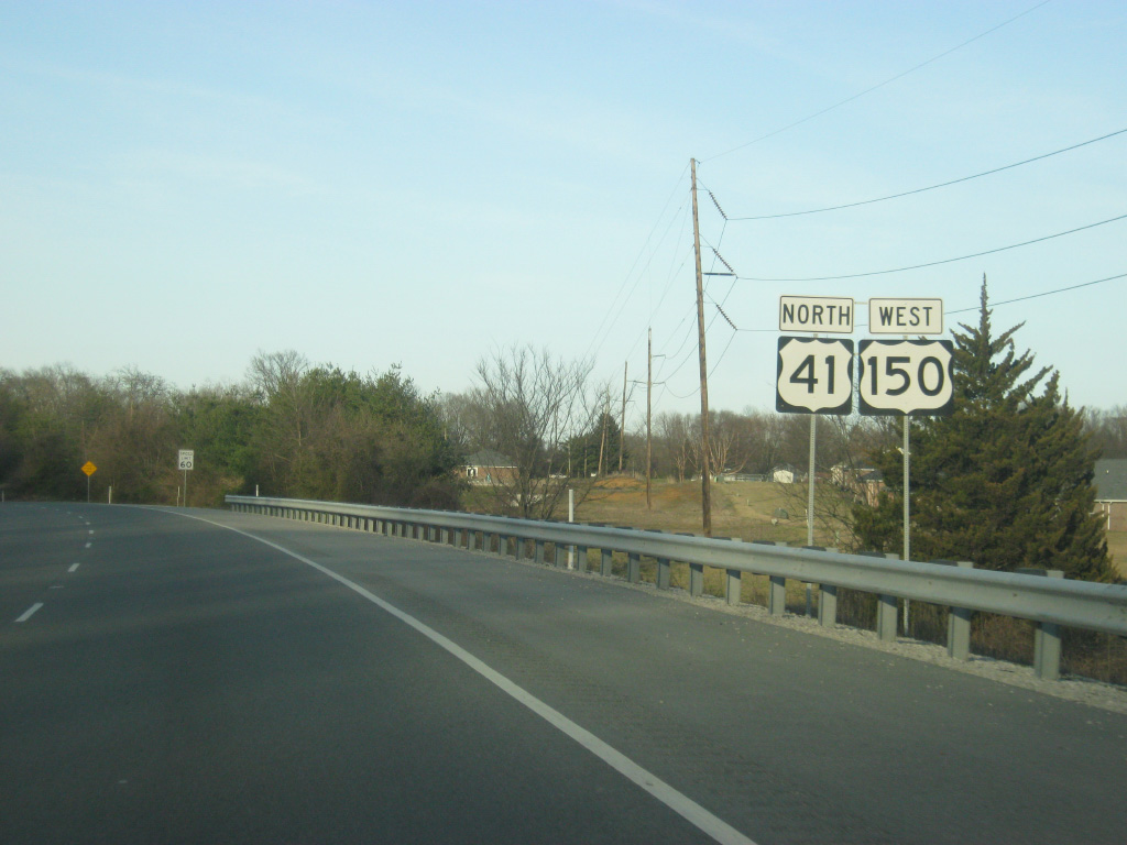
| U.S. 41 north & U.S. 150 west turn off of the Vincennes bypass freeway, which continues as U.S. 50 west across the Wabash River and into Illinois en route to Lawrenceville. U.S. 50 continues as a two lane highway across the state of Illinois, passing through Olney and Flora toward St. Louis, Missouri. The second ramp serves 6th Street south toward the north side of Vincennes. 03/06/12 |
|
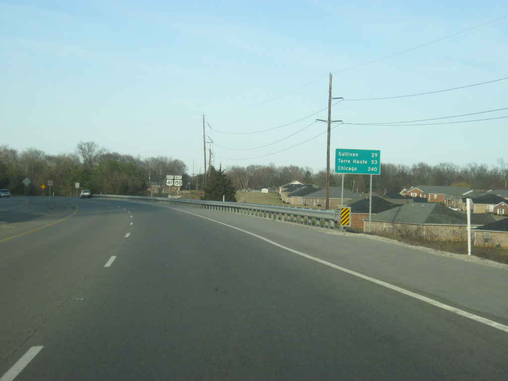
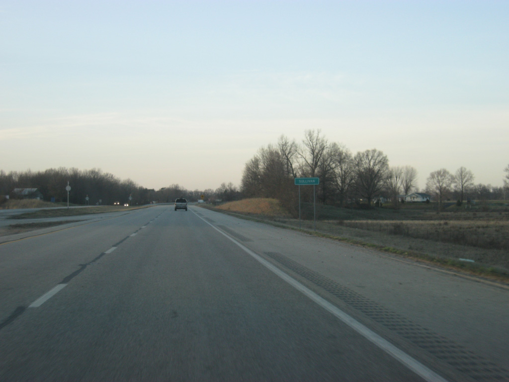
| U.S. 41 & U.S. 150 now head north from the Vincennes area en route to Sullivan (29 miles), Terre Haute (53 miles) and Chicago (240 miles). 03/06/12 |
|
| U.S. 41/150 are signed for the stretch of highway from Vincennes to Terre Haute, but most travelers refer to the highway only as U.S. 41. 03/06/12 |
|
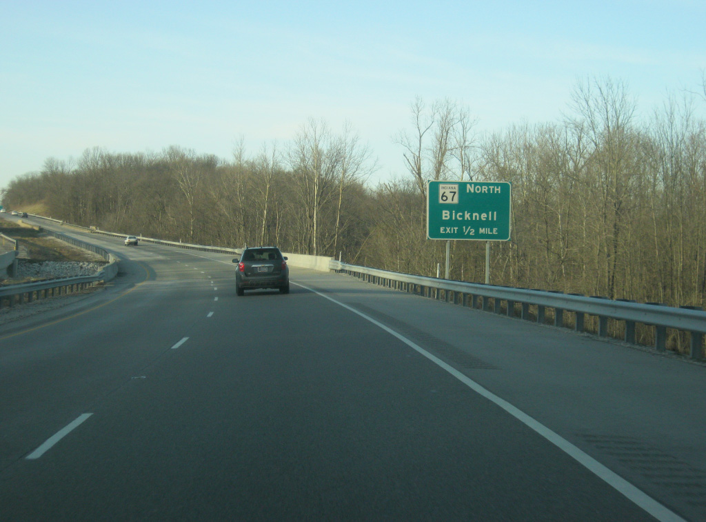
| U.S. 41/150 are a half mile away from the southern end to SR 67, a 199 mile highway that travels from southwest to northeast through Bicknell, Worthington, Spencer, Martinsville, Indianapolis, Pendleton, Muncie and Portland, ending at the Ohio state line east of Bryant. 03/06/12 |
|
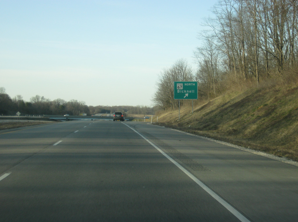
| SR 67 begins at a diamond interchange with U.S. 41/150 and travels for five miles to the town of Bruceville and 11 miles to the town of Bicknell. To the west of the interchange the road continues as Old State Road 67, following the highway's former routing into the city of Vincennes. 03/06/12 |
|
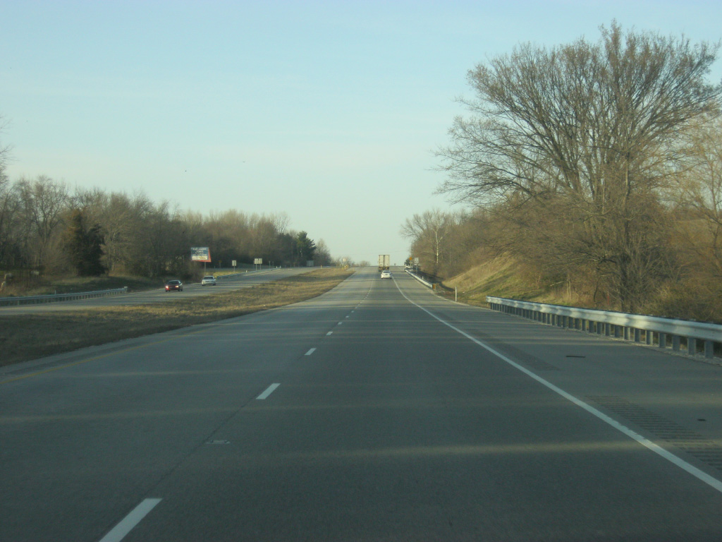
| A view of U.S. 41/150 north of the interchange with SR 67 north. Beyond the exit, U.S. 41/150 return to a four lane expressway. 03/06/12 |
|
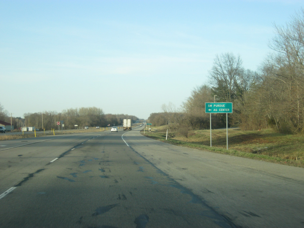
| Purdue Road heads north from U.S. 41/150 to the Southwest Purdue Agriculture Center. 03/06/12 |
|
| A scene of U.S. 41/150 traveling north at Maria Creek as the highway continues to the north of Vincennes. 03/06/12 |
|
| U.S. 41/150 come across the western end to SR 550, which heads in a southeast direction toward the communities of Bruceville and Wheatland, finishing off its 23.5 mile journey at U.S. 50/150 in eastern Knox County. Another stretch of SR 550 exists in Martin County. 03/06/12 |
|
| SR 550 east breaks off in the direction of Bruceville, 4.8 miles to the southeast. The town of Emison lies to the immediate west of the expressway off of Nicholson Road. 03/06/12 |
|
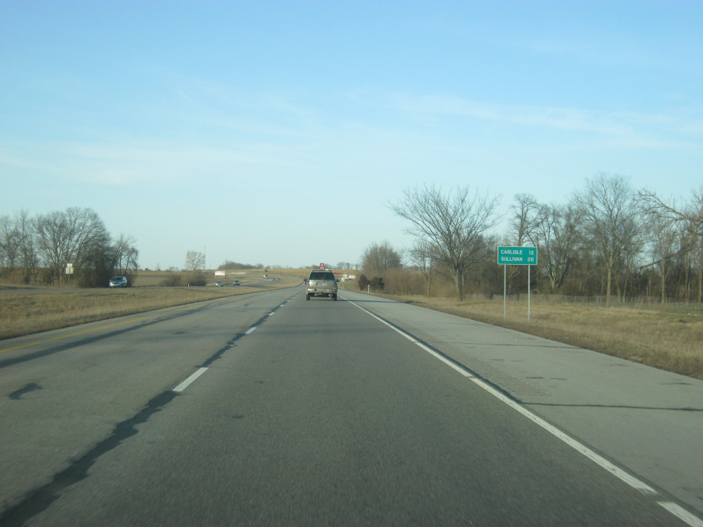
| A distance sign gives the distances to the next two communities along U.S. 41/150: Carlisle (12 miles) and Sullivan (20 miles). 03/06/12 |
|
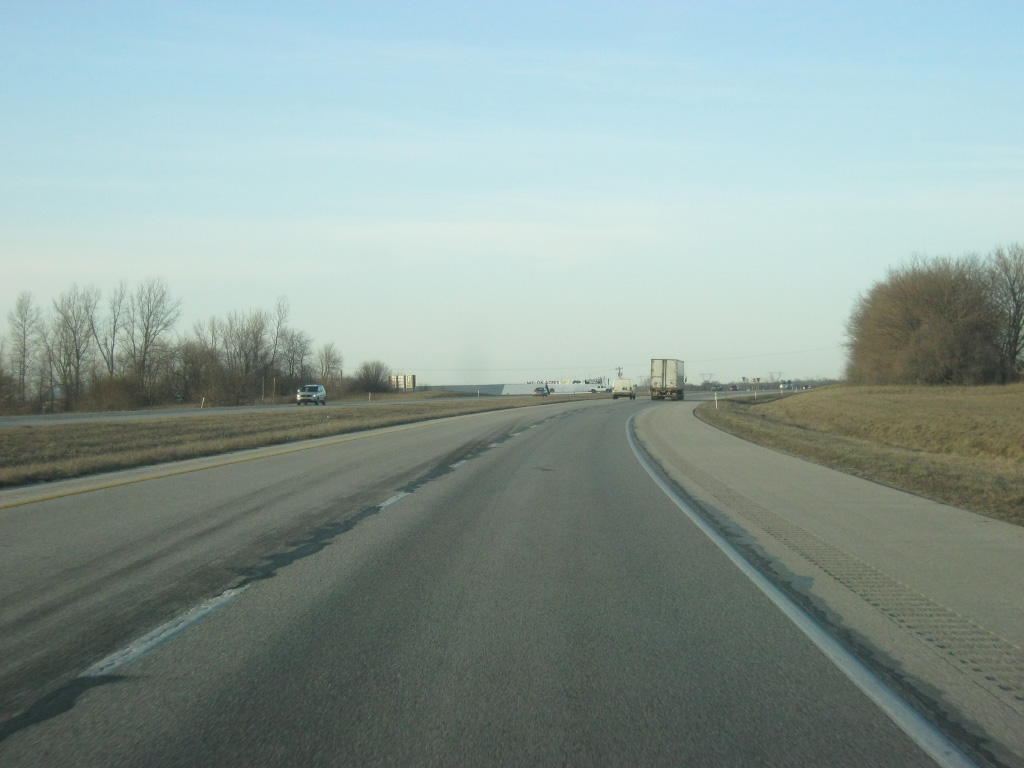
| Agricultural fields dominate the view as U.S. 41/150 continue north from the junction with SR 550 east. 03/06/12 |
|
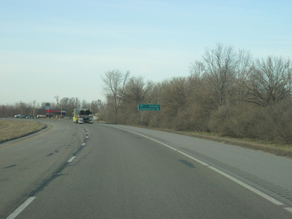
| Freelandville Road heads east from U.S. 41/150 in the direction of the Freelandville while Maple Avenue heads west into the town of Oaktown, which the four lane expressway bypasses to the east. 03/06/12 |
|
| A view of U.S. 41/150 to the north of the town of Oaktown at County Road 1100 North. 03/06/12 |
|
| At County Line Road, U.S. 41/150 enter Sullivan County (population 21,475). 03/06/12 |
|
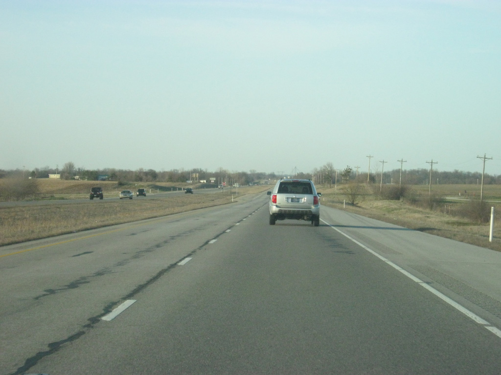
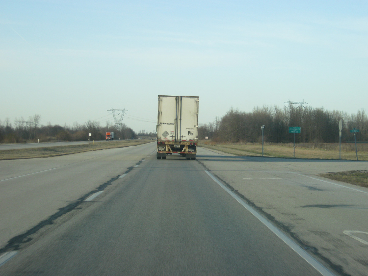
| Despite crossing the county line the view along U.S. 41/150 remains largely the same. U.S. 41 is now 74 miles north of the Kentucky state line. 03/06/12 |
|
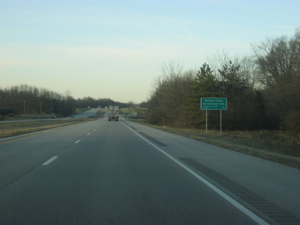
| Old U.S. 41 angles off to the northeast from the present day U.S. 41/150 into the town of Carlisle. Deliveries for the Wabash Valley Correctional Institute, a major employer in this part of Sullivan County, are also directed onto Old U.S. 41. 03/06/12 |
|
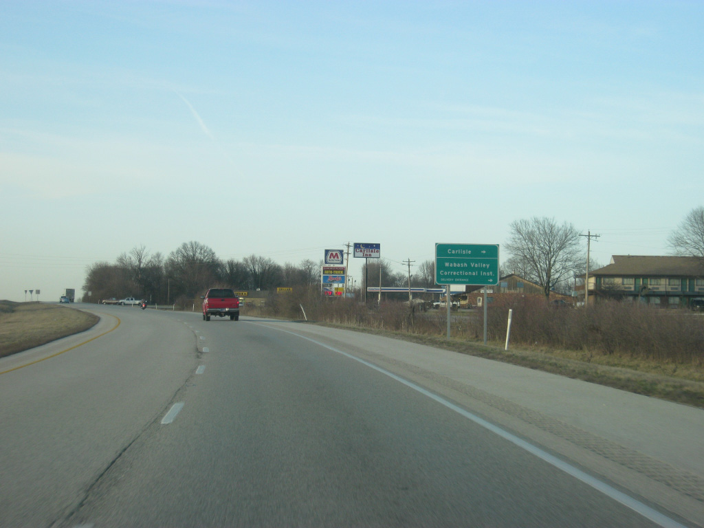
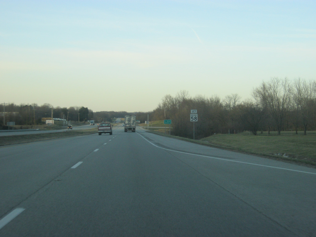
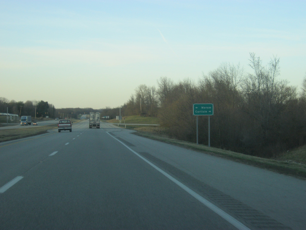
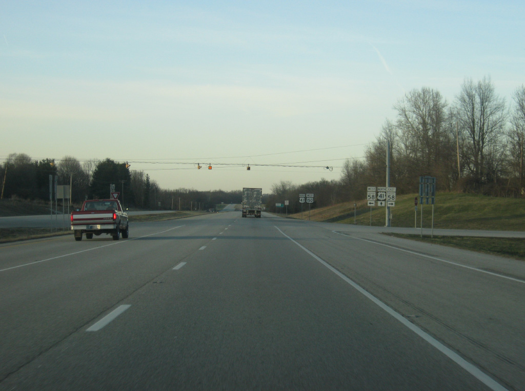
| On the west side of Carlisle, U.S. 41/150 approach the junction with SR 58, a 122 mile highway that stretches from the town of Merom to the west through Carlisle, Sandborn and Bedford before ending at Interstate 65 outside of Columbus. 03/06/12 |
|
| The town of Merom lies 13 miles to the northwest along the Wabash River at which point SR 58 becomes SR 63. The town of Carlisle lies immediately to the east along Harrison Street. 03/06/12 |
|
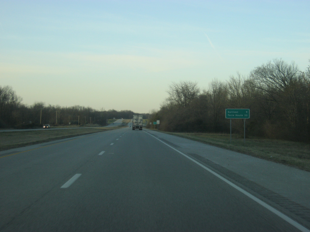
| The Sullivan County seat of Sullivan is the next community along U.S. 41/150 at a distance of nine miles. Terre Haute lies further ahead at 33 miles. 03/06/12 |
|
| North of Carlisle along U.S. 41/150 lies the Wabash Valley Correctional Institute. For that reason, travelers are advised not to pick up hitchhikers in this area. 03/06/12 |
|
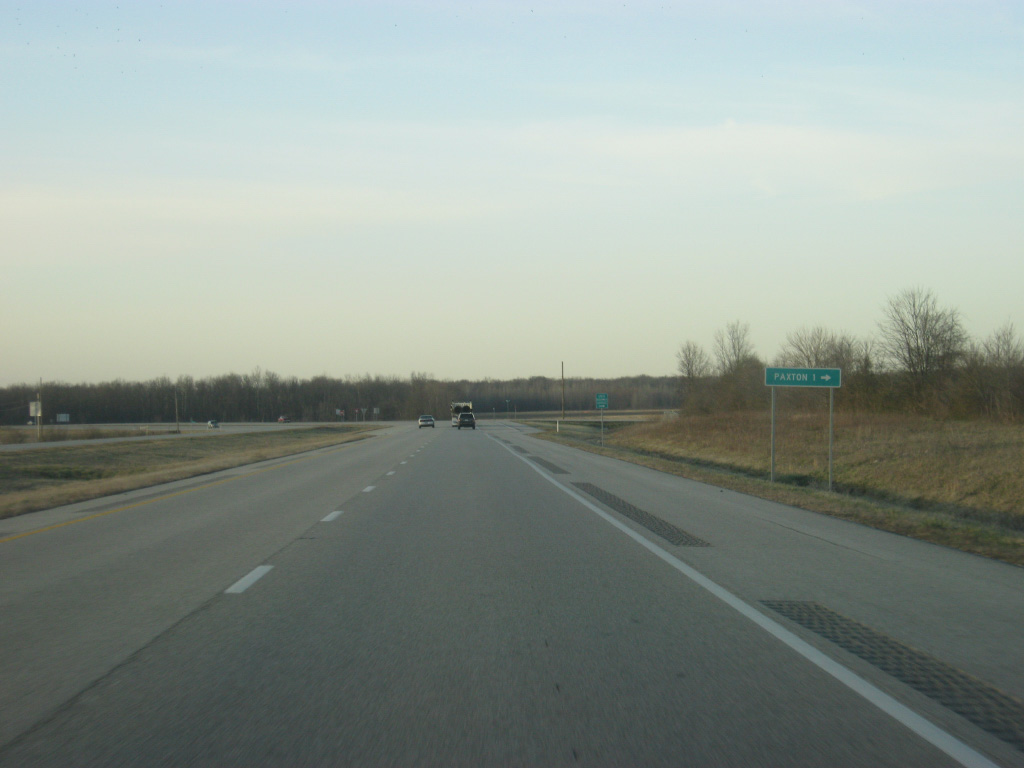
| County Road 400 South leads to the east of U.S. 41/150 to the small town of Paxton one mile to the east. 03/06/12 |
|
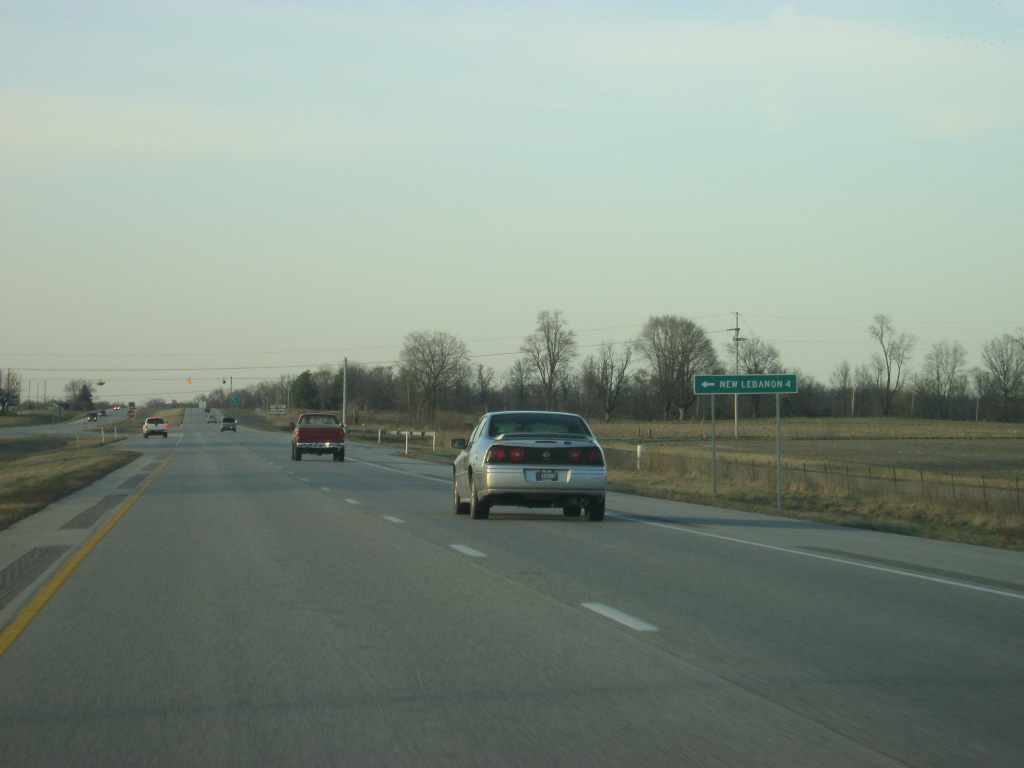
| County Road 200 South heads west from U.S. 41/150 along the former path of State Road 54 toward the town of New Lebanon four miles to the west. SR 54 was truncated west from Meron to U.S. 41 when a portion of the route was inundated due to a new reservoir formed by the construction of a dam along Turtle Creek. 03/06/12 |
|
| SR 54 goes for 65.2 miles from U.S. 41/150 east to Dugger, Linton and Bloomfield before ending at SR 37 near Oolitic. 03/06/12 |
|
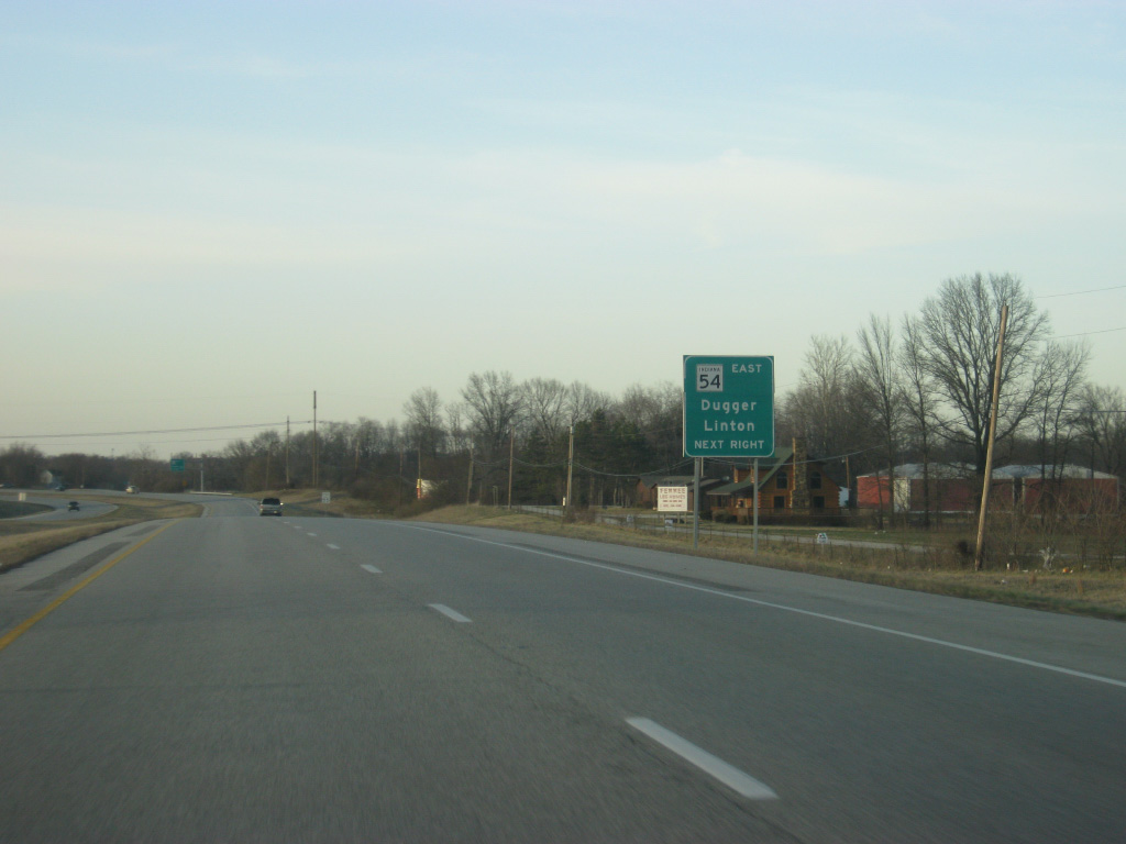
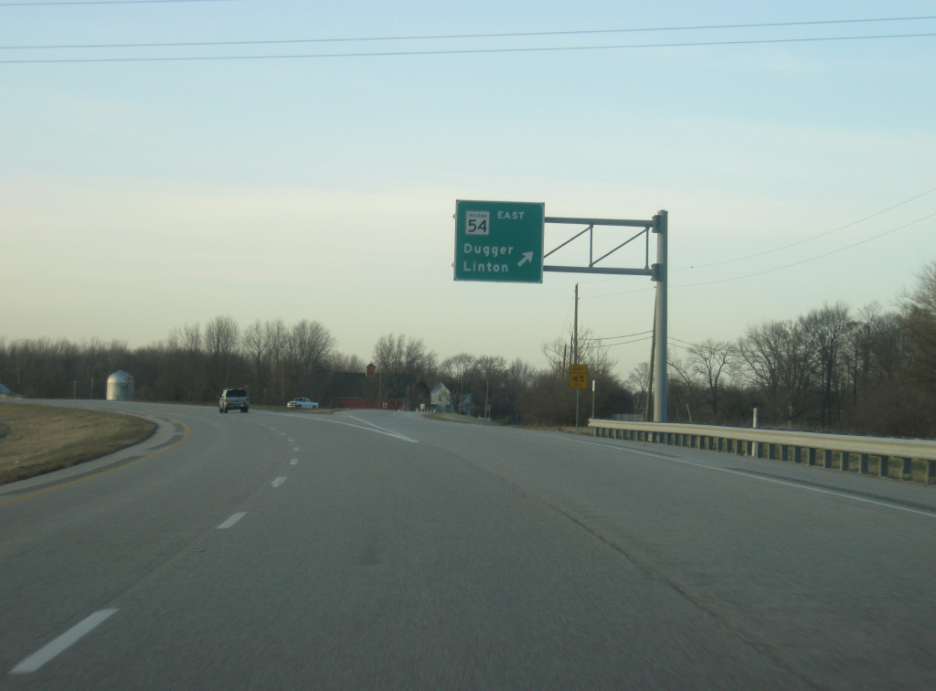
| A ramp-style road turns off of U.S. 41/150 north onto SR 54 toward the towns of Dugger and Linton. While SR 54 heads to the east, the ramp becomes Section Street, which heads north into the heart of town of Sullivan. Section Street represents the original routing of U.S. 41 through Sullivan before the city was bypassed. 03/06/12 |
|
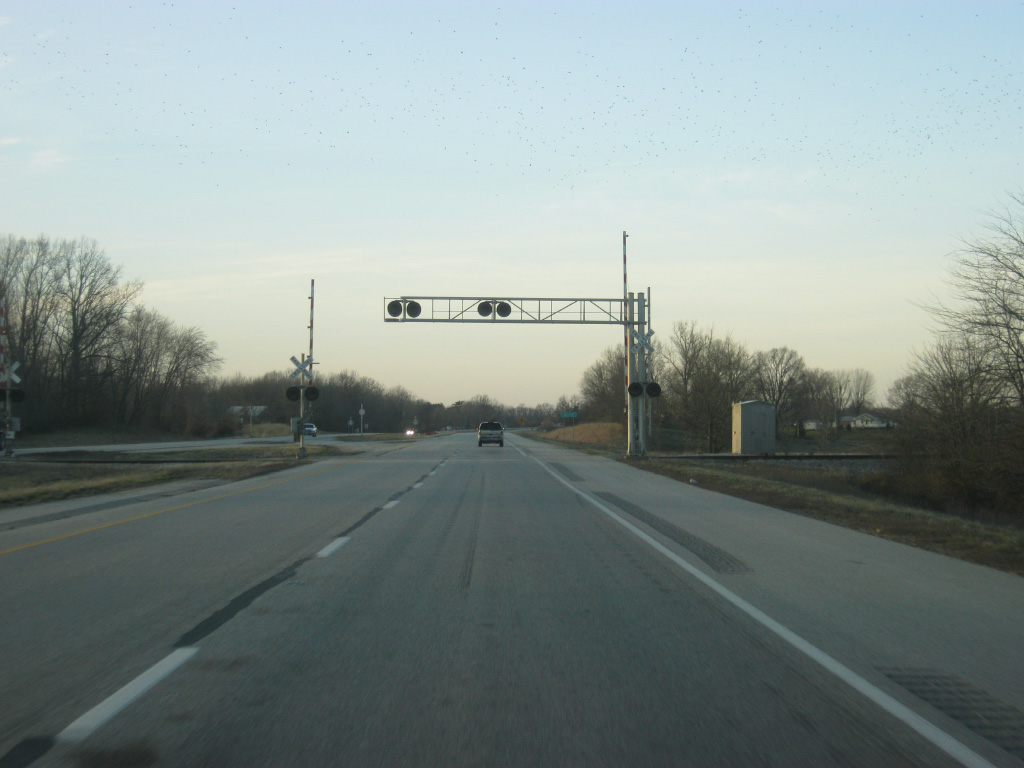
| U.S. 41/150 cross the Indiana Rail Road on the southwest side of Sullivan as the expressway begins its bypass of the Sullivan County seat. 03/06/12 |
|
| U.S. 41/150 enters the city of Sullivan (population 4,617), even though the highway bypasses the main part of the city to the west. 03/06/12 |
|
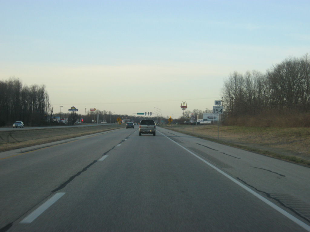
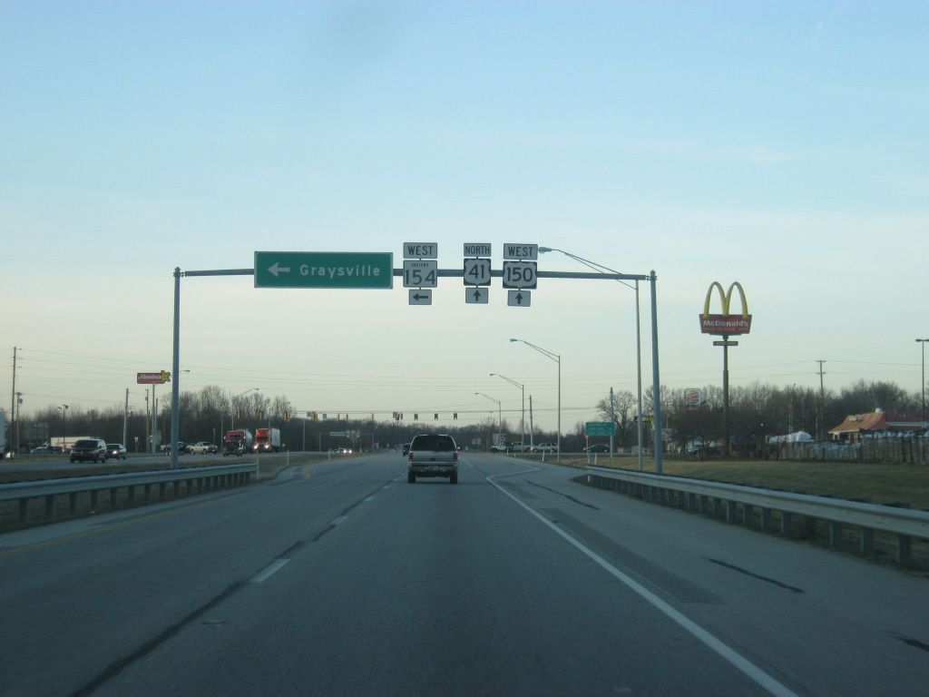
| On the west side of Sullivan, U.S. 41/150 approaches the junction with SR 154 west. SR 154 travels for only 13 miles from U.S. 41/150 to the Wabash River Bridge at Hutsonville, Illinois. The intersection represents the first stoplight along U.S. 41 since south of Princeton. 03/06/12 |
|
| The town of Graysville lies 8.4 miles to the west of U.S. 41/150 at the junction with SR 154 and SR 63. The Illinois state line lies only a few miles to the west of Graysville. 03/06/12 |
|
| Wolfe Street heads east of the junction with SR 154 west and U.S. 41/150 into the city of Sullivan, linking up with Section Street a few blocks north of the courthouse square. 03/06/12 |
|
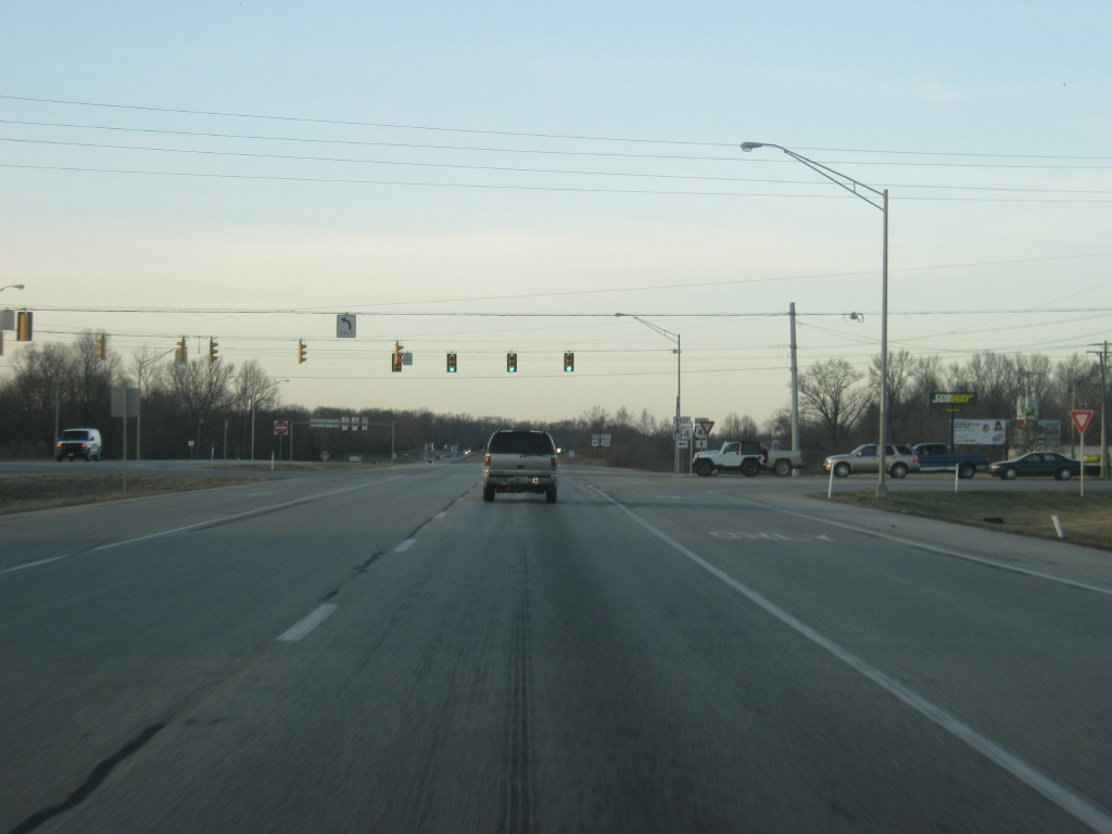
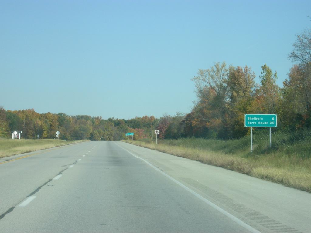
| Reassurance shields for U.S. 41/150 to the north of the intersection with SR 154 west/Wolfe Street east. U.S. 41/150 is six miles away from Shelburn and 25 miles from Terre Haute. 10/16/12 |
|
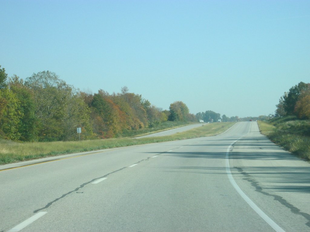
| Scenes of U.S. 41/150 as the highway travels to the north of Sullivan. 10/16/12 |
|
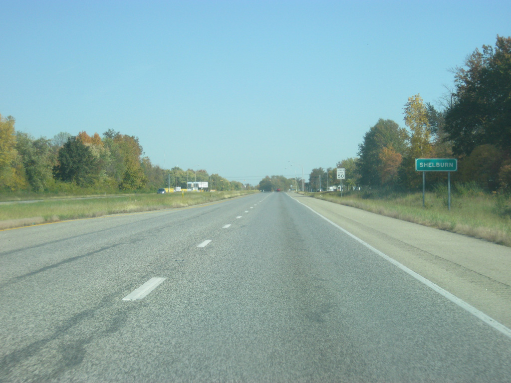
| Now in northern Sullivan County, U.S. 41/150 enters the town of Shelburn. As with Sullivan and Carlisle before it, the expressway bypasses most of Shelburn to the west. 10/16/12 |
|
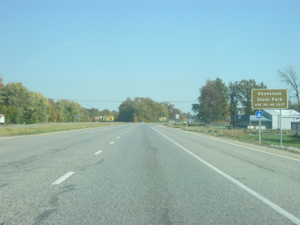
| Shakamak State Park bound traffic are directed to use SR 48 east from the town of Shelburn for about ten miles. 10/16/12 |
|
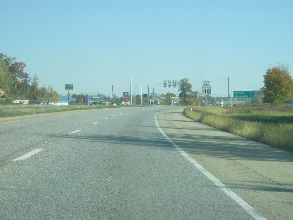
| SR 48 exists in three different segments, the westernmost of which travels for 30 miles from the junction with SR 63 south of Fairbanks and eastward through Shelburn, Hymera and Jasonville, finally ending at SR 157 north of Worthington. 10/16/12 |
|
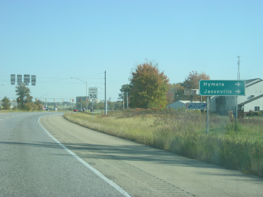
| The western terminus of SR 48 is seven miles to the west of U.S. 41/150 near the town of Fairbanks at SR 63. The town of Hymera is 5 1/2 miles to the east and Jasonville is 13 miles down the road. 10/16/12 |
|
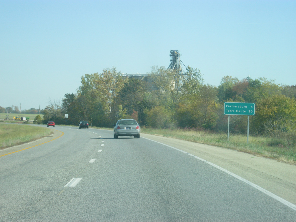
| Now north of the intersection with SR 48, U.S. 41/150 are four miles from the community of Farmersburg and 20 miles from Terre Haute. 10/16/12 |
|
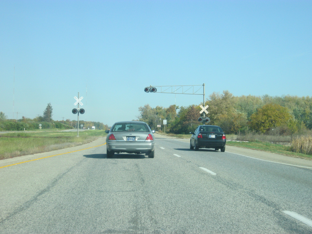
| U.S. 41/150 crosses a small spur railroad to the north of the town of Shelburn. 10/16/12 |
|
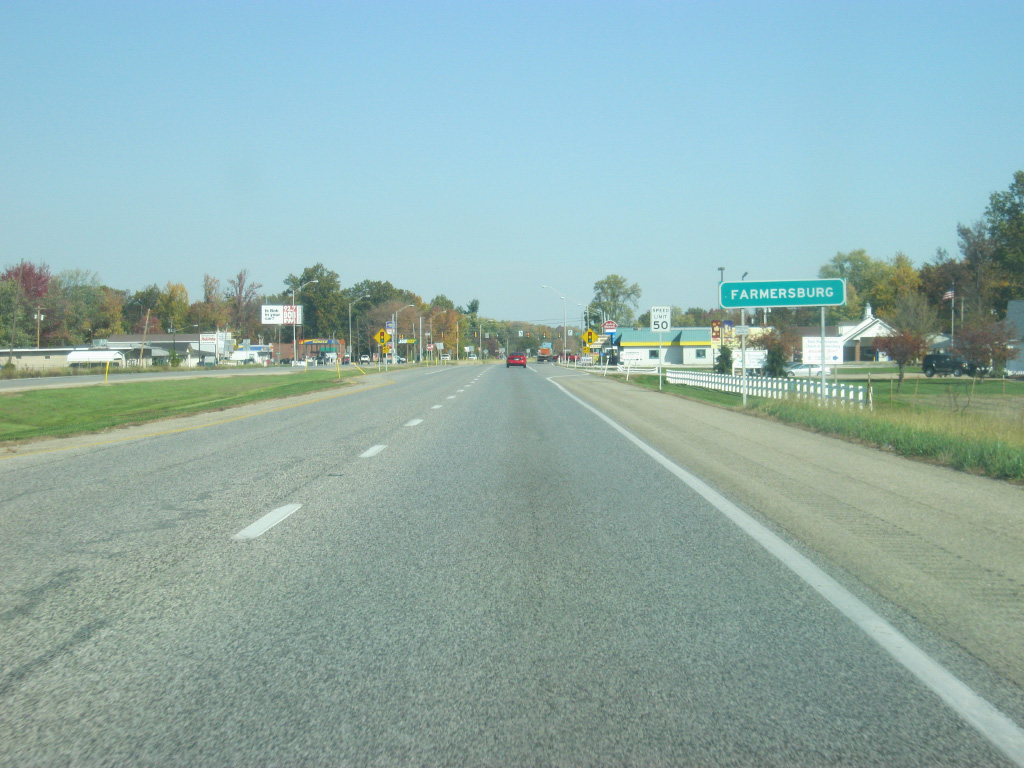
| The highway is now approaching the community of Farmersburg, which the expressway bypasses to the west. 10/16/12 |
|
| U.S. 41/150 enters the town of Farmersburg, which lies near the border of Sullivan and Vigo Counties. 10/16/12 |
|
| Main Street heads east from U.S. 41/150 into the town of Farmersburg. 10/16/12 |
|
| Leaving Farmersburg, U.S 41 & 150 enters Vigo County (population 107,848). Vigo County is the most populous county that U.S. 41 travels through between Evansville and Chicago. 10/16/12 |
Page Updated 04-24-2013.

 north
north