|
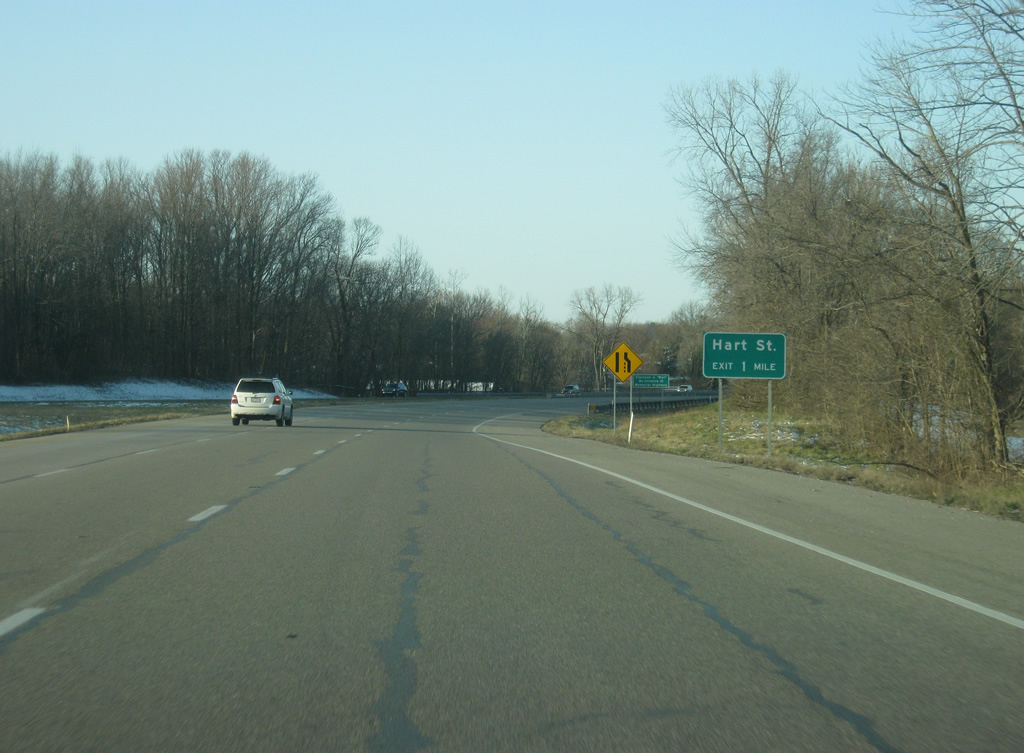
| Departing the tri-level stack interchange with U.S. 50/150, the Hart Street interchange comes within one mile along U.S. 41 south. 03/06/12 |
|
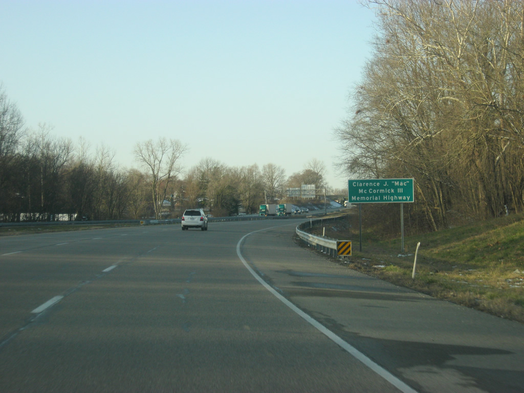
| The stretch of U.S. 41 from between the interchange with U.S. 50 west/6th Street and SR 441 north (Willow Street) / Decker Road is named for Clarence J. "Mac" McCormick III, a local business leader. The U.S. 41 bypass dates back to the 1960s when it was part of a proposed routing for Interstate 64 that would have utilized the U.S. 150 corridor from Louisville to Vincennes and U.S. 50 across from Vincennes to St. Louis. Political and business interests moved the Interstate 64 routing further to the south toward Evansville and the freeway bypass of Vincennes that continues onto U.S. 50 west toward Lawrenceville, Illinois has remained the same since. 03/06/12 |
|
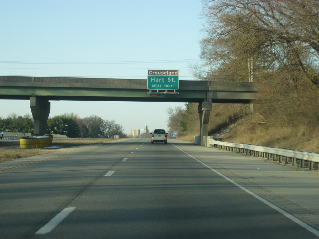
| Grouseland, the mansion for William Henry Harrison when he was Governor of the Indiana Territory, is among the State Historic Sites in central Vincennes. Grouseland can be reached via Hart Street to the northwest of U.S. 41. 03/06/12 |
|
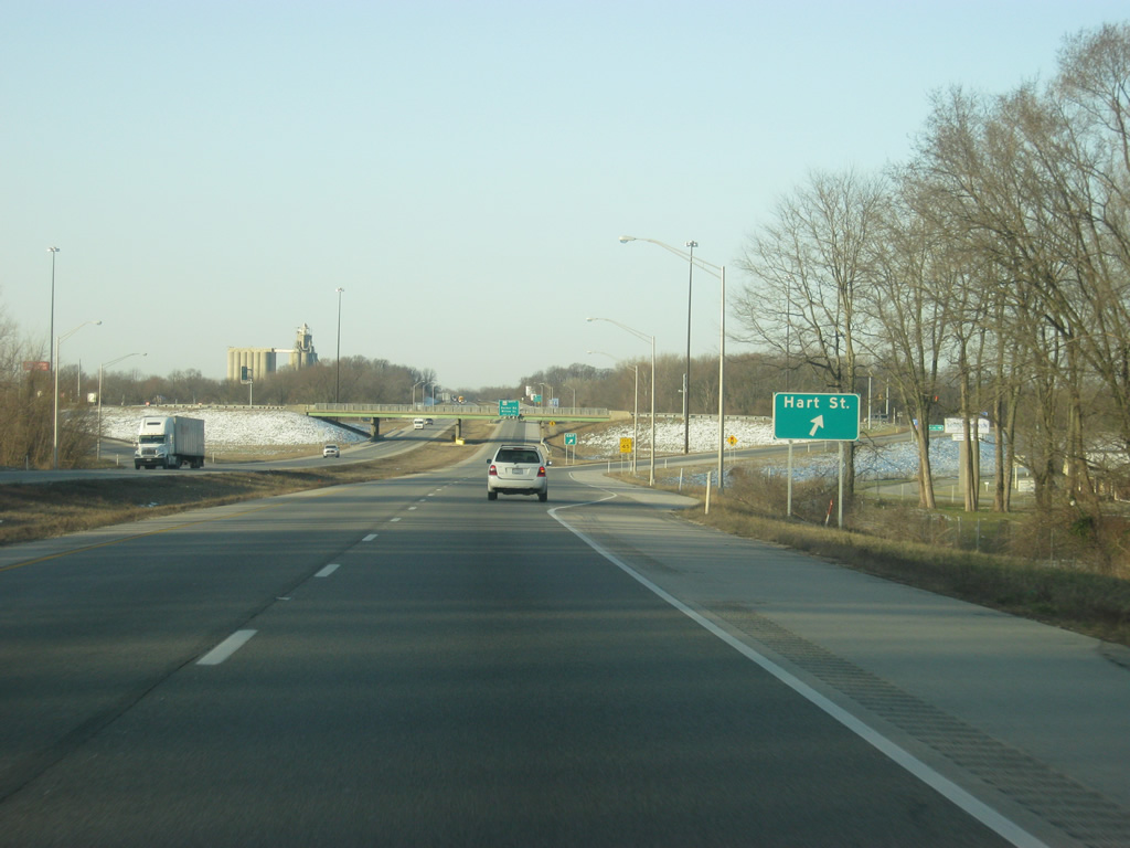
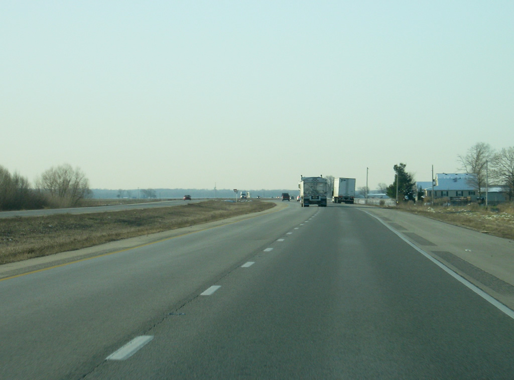
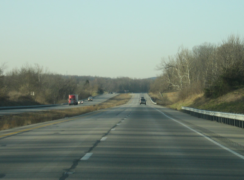
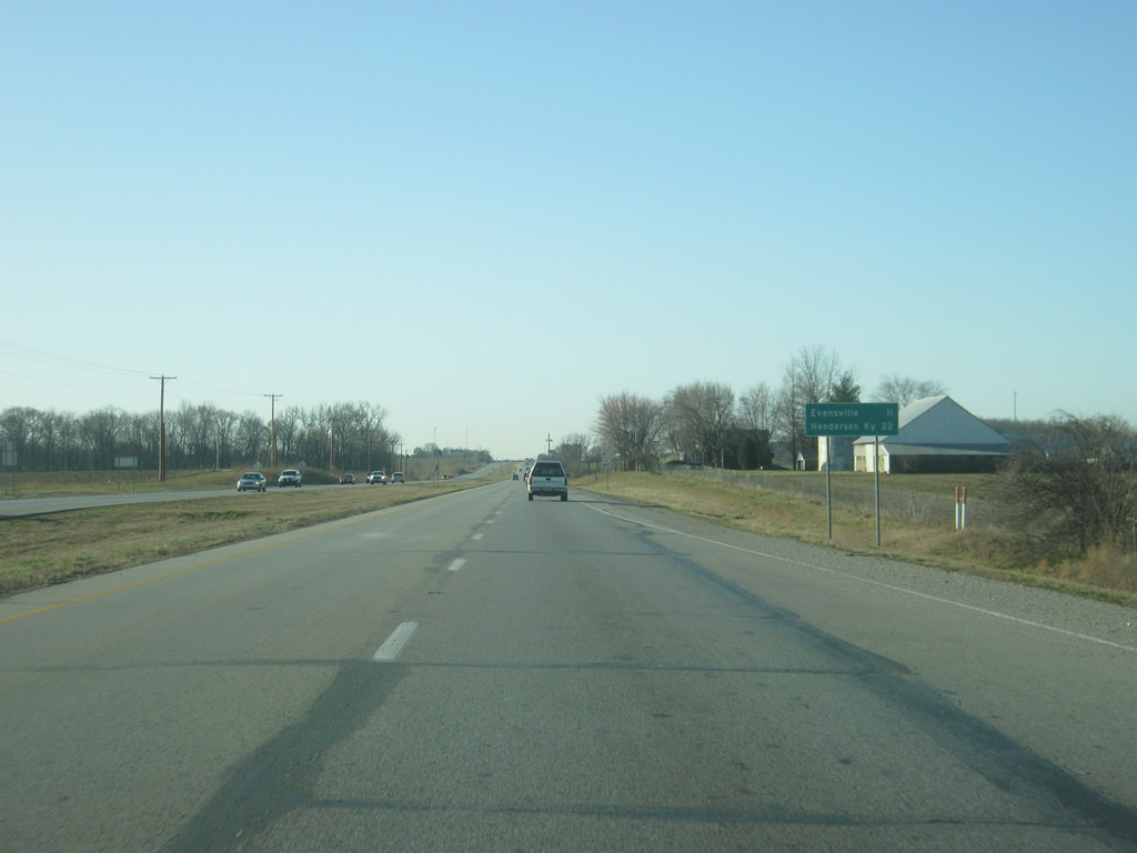
| The ramp for Hart Street turns off of U.S. 41 north. The Hart Street interchange serves as the commercial heart of the Vincennes and Knox County region benefiting from the freeway access to U.S. 41 and nearby U.S. 50 & U.S. 150. Hart Street continues to the northwest toward central Vincennes. 03/06/12 |
|
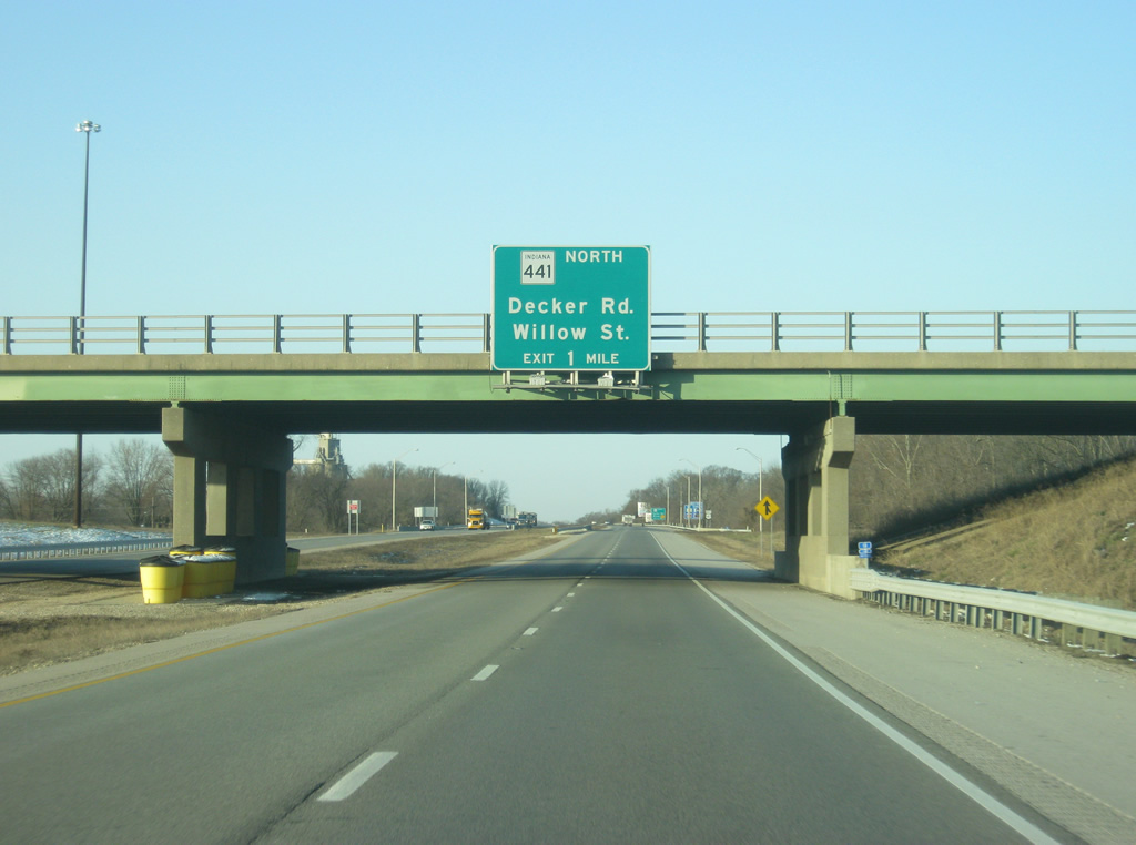
| Passing underneath the Hart Street overpass, U.S. 41 is one mile from its last Vincennes exit. SR 441 is a very short, 2.6 mile highway that follows Willow Street to the north of U.S. 41 to Downtown Vincennes and 6th Street. The highway follows Vigo Street from 6th to the Lincoln Memorial Bridge across the Wabash River where the highway ends. 03/06/12 |
|
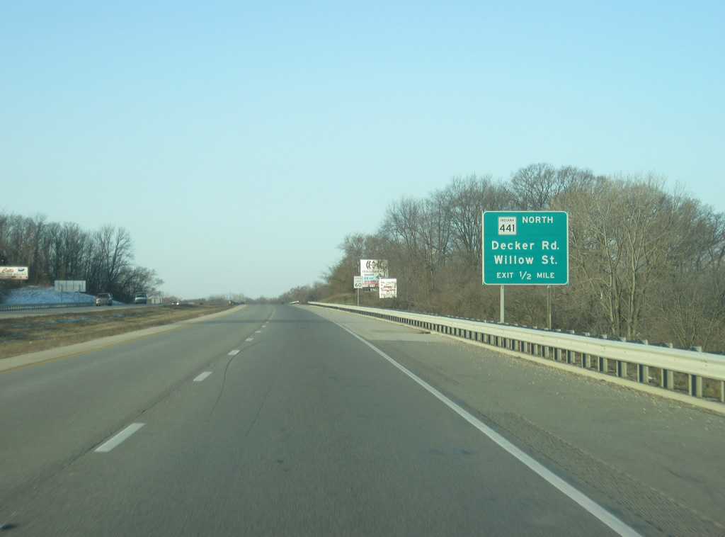
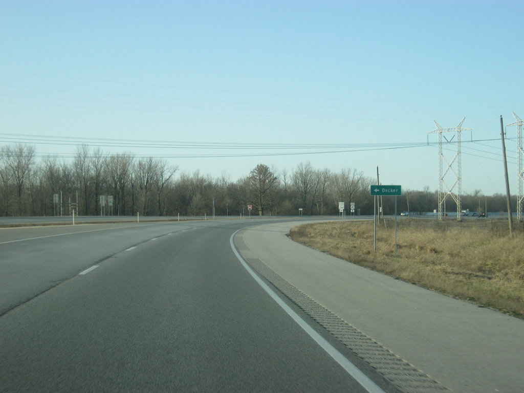
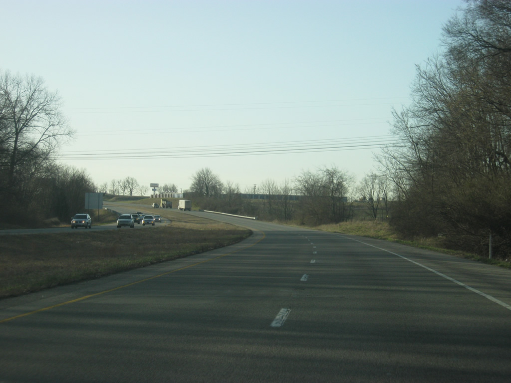
| Now a half mile from the interchange with SR 441 north (Willow Street) and Decker Road, which continues south toward the community of Decker, via some other roads. 03/06/12 |
|
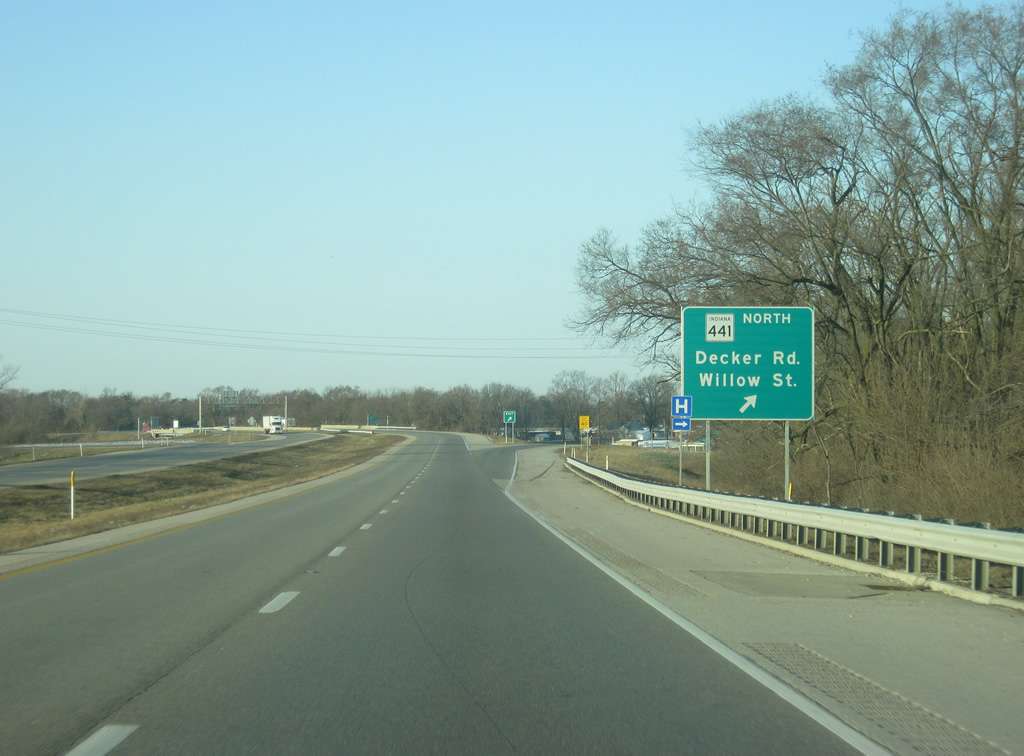
| The ramp for SR 441 north (Willow Street) and Decker Road south turns off of U.S. 41. SR 441 also follows the routing of old U.S. 41 north to 6th Street, where the former U.S. 41 traveled back to the current bypass. 03/06/12 |
|
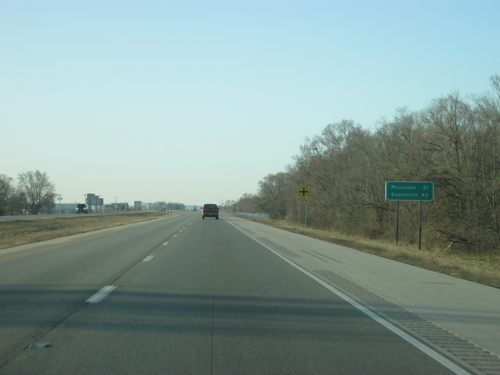
| A U.S. 41 highway shield greets motorists south of the SR 441 north (Willow Street) and Decker Road interchange. Princeton is the next community at 22 miles in distance. Evansville returns to the distance signs with a distance of 43 miles, a one-hour drive. 03/06/12 |
|
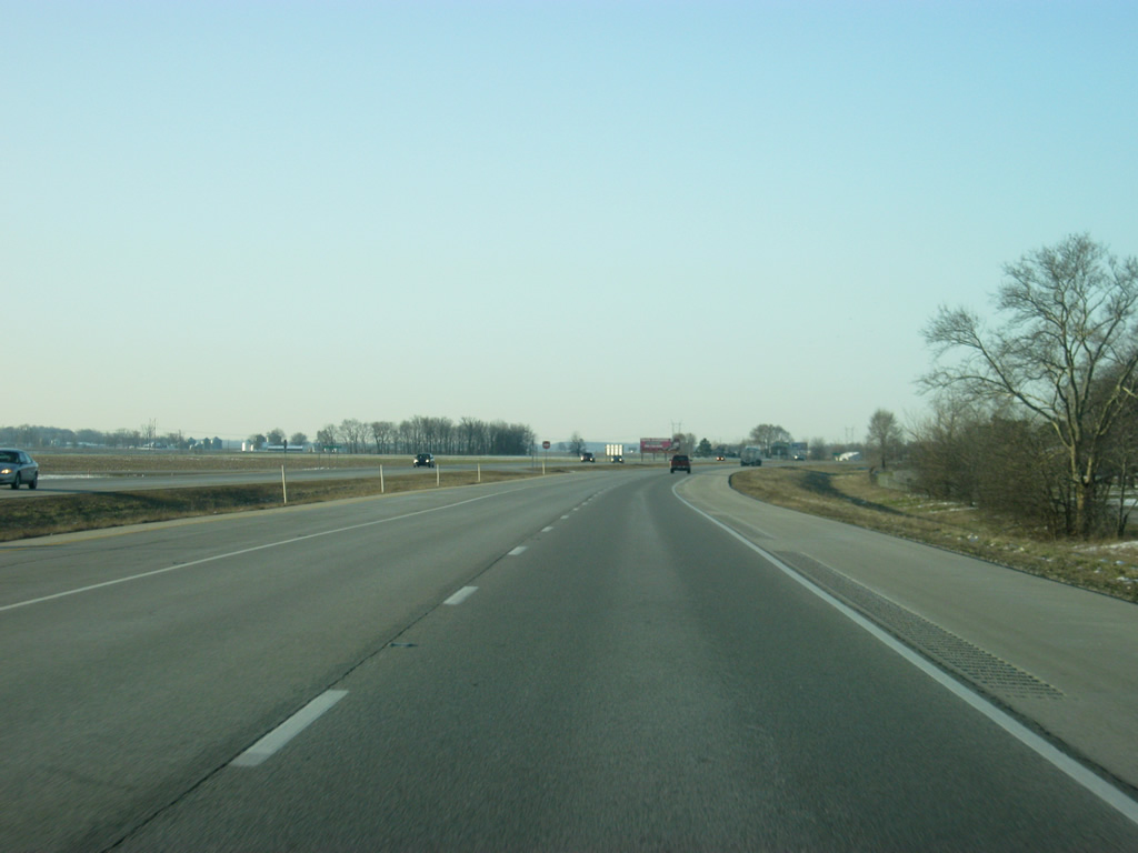
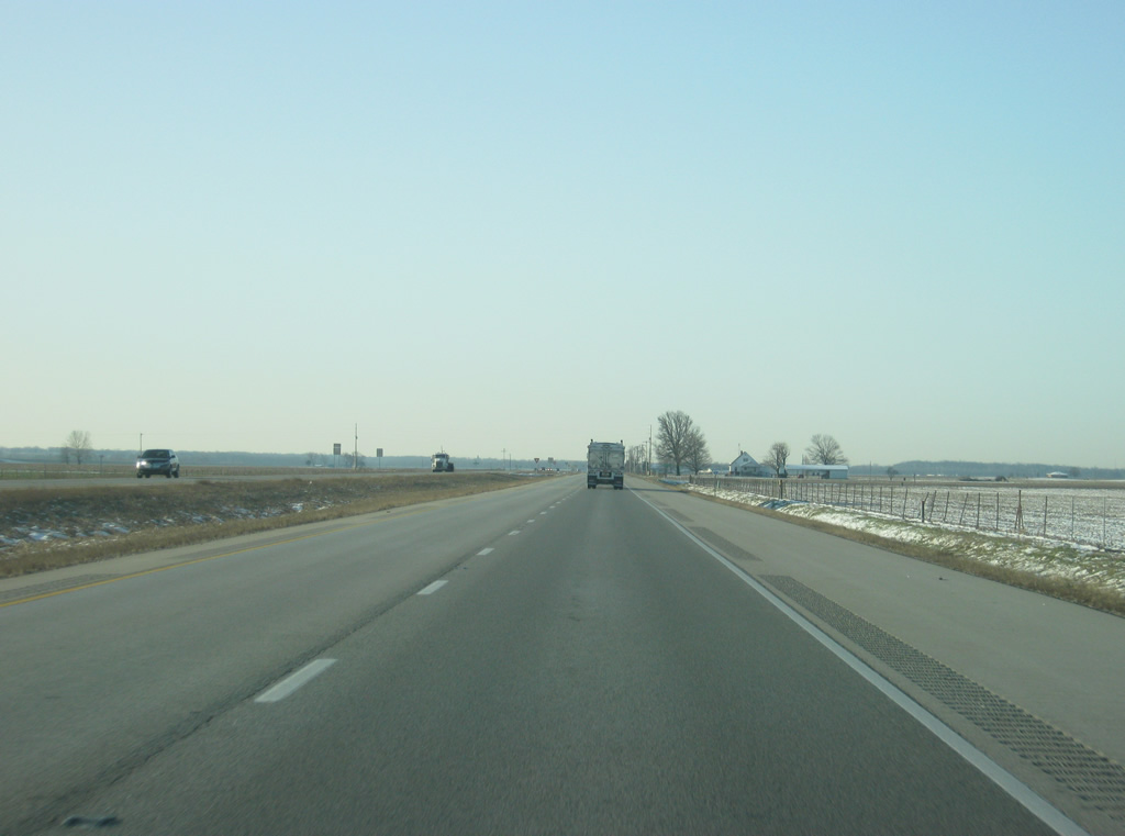
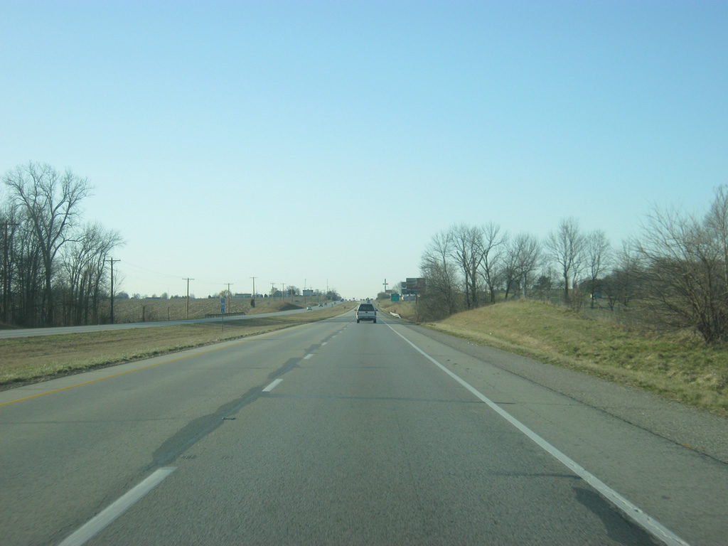
| U.S. 41 reenters the rural areas of Knox County as it travels south of Vincennes. In the second picture, the highway meets up with Old U.S. 41, which follows the highway to the west. For the most part however, current U.S. 41 follows its older route, more or less. 03/06/12 |
|
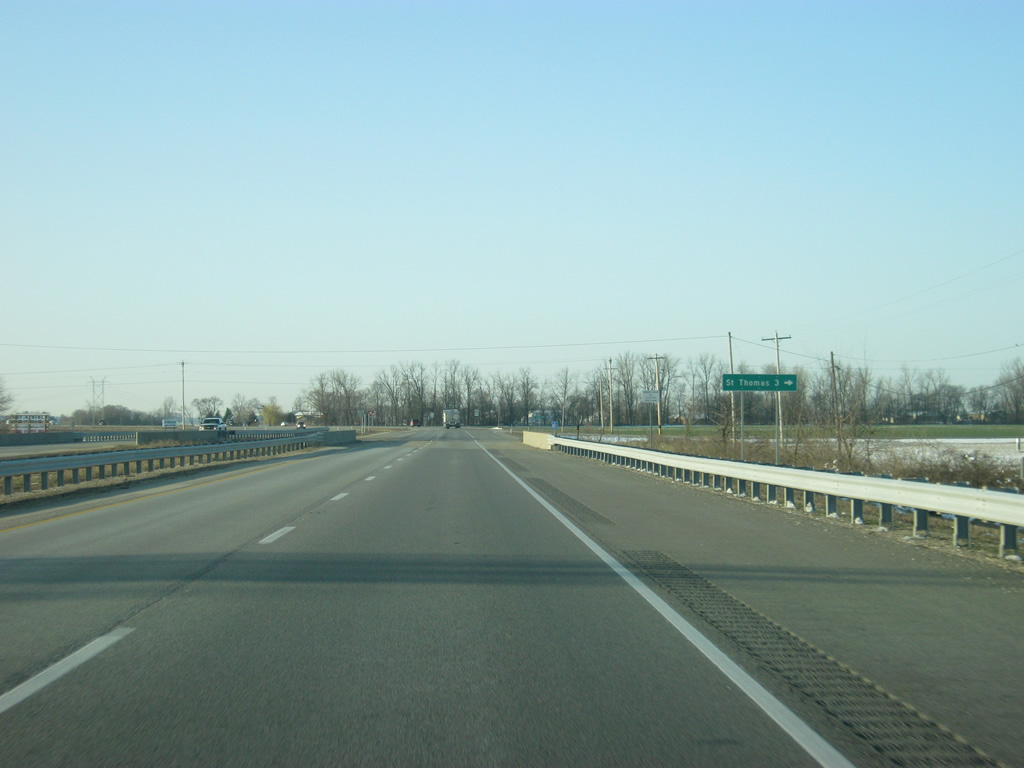
| St. Thomas Road heads west from U.S. 41 to the community of St. Thomas while County Road 800 South continues to the east. 03/06/12 |
|
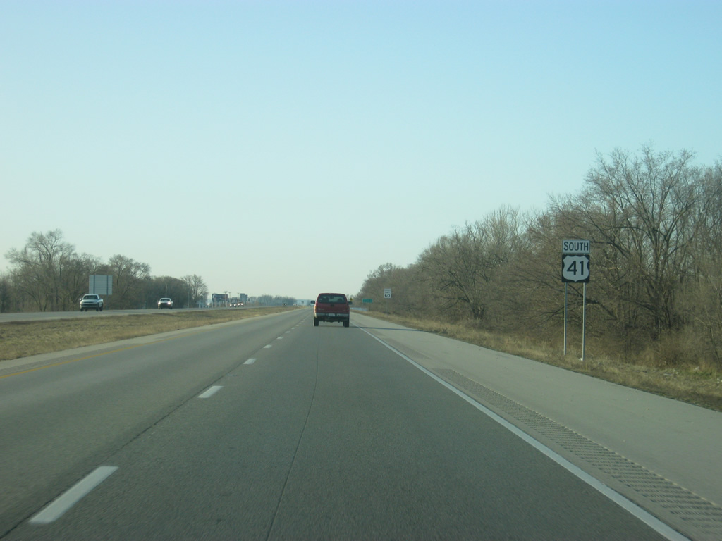
| U.S. 41 follows a path in a due south direction as it heads toward the community of Decker and Princeton. Ever since Parke County, U.S. 41 has been within the Wabash River valley, which explains the flat terrain around here. As it gets closer to Evansville there will be a few more hills. 03/06/12 |
|
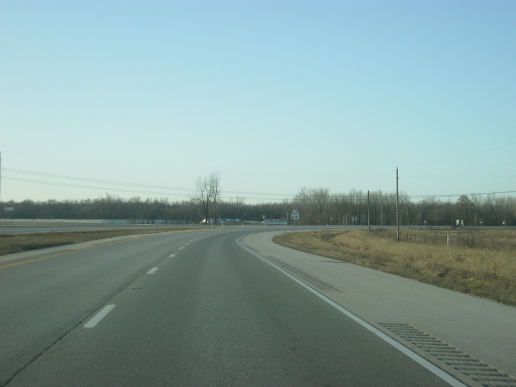
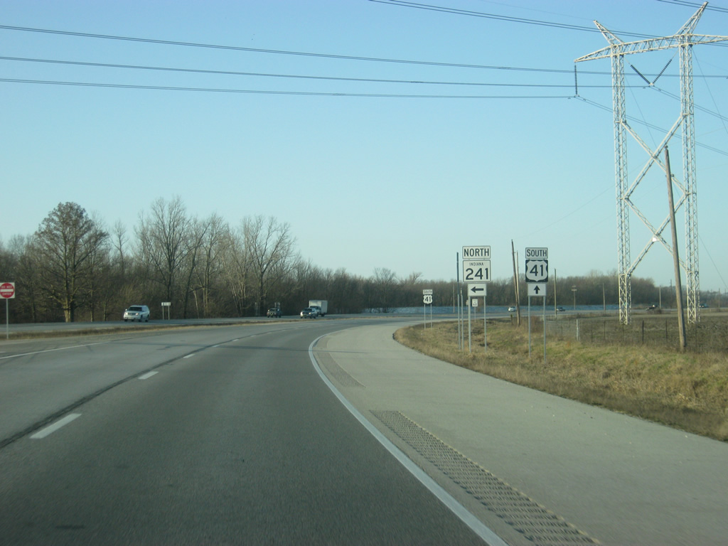
| U.S. 41 approaches the intersection with SR 241 east. SR 241 goes for 18 miles from U.S. 41 to U.S. 50 near the town of Wheatland. The town of Decker is less than a mile to the east of U.S. 41. 03/06/12 |
|
| SR 241 east turns off of U.S. 41 en route to Decker, Monroe City and Wheatland. 03/06/12 |
|
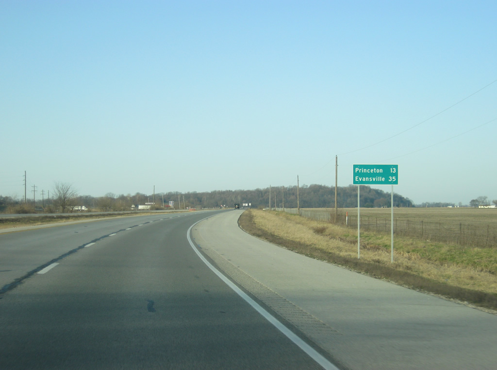
| South of the intersection with SR 241, Princeton is 13 miles away with Evansville getting closer at 35 miles. 03/06/12 |
|
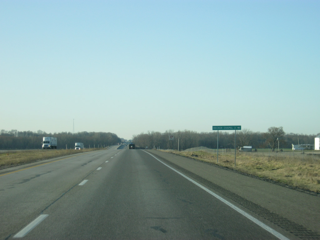
| U.S. 41 crosses the intersection with Decker Chapel Road, which heads west three miles to the community of Decker Chapel. 03/06/12 |
|
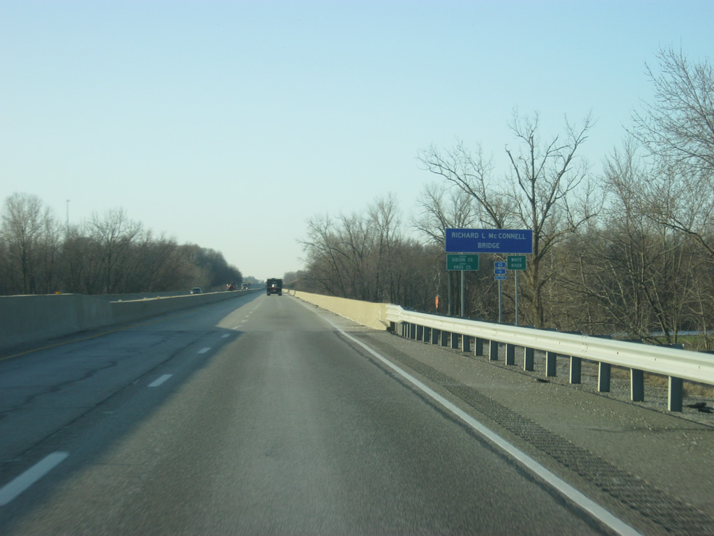
| U.S. 41 crosses the Richard L. McConnell Bridge across the White River into Gibson County (population 33,503). Entering Gibson County, U.S. 41 enters the Evansville metropolitan area and crosses back into the Central Time Zone, where it will remain until Chattanooga. 03/06/12 |
|
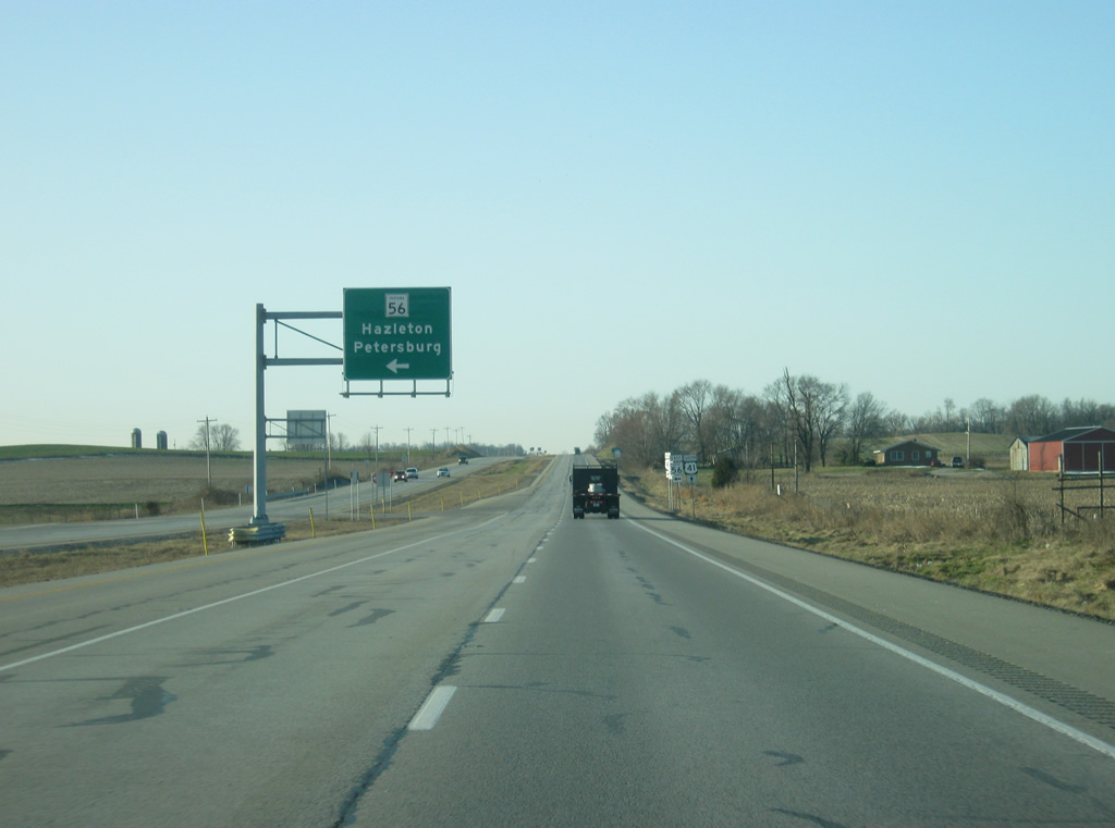
| In northern Gibson County, U.S. 41 intersects with SR 56, which begins its 194 mile journey across southern Indiana here. From this location, Hazelton is a two mile drive to the north, followed by the Pike County seat of Petersburg in 19 miles. From there, the state road continues east toward Jasper, French Lick, Paoli, Salem, Scottsburg, Madison, Vevay and Rising Sun before ending at U.S. 50 in Aurora. 03/06/12 |
|
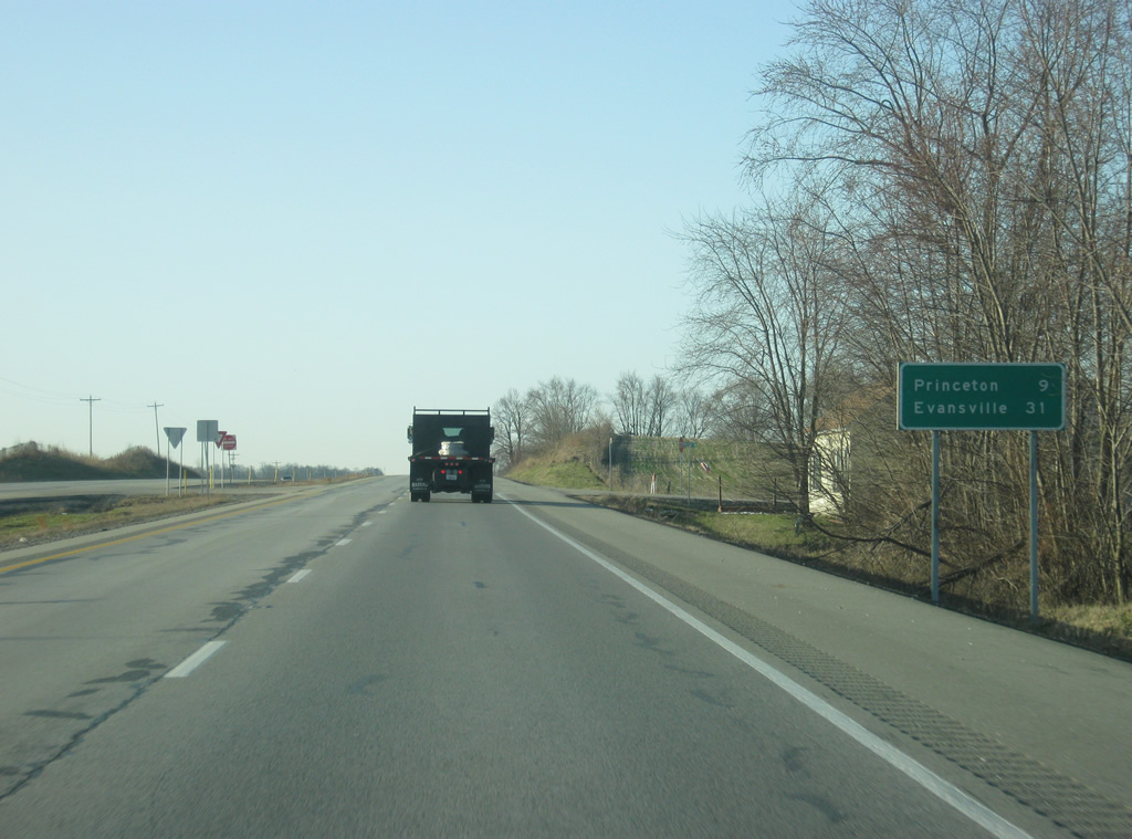
| On a distance sign to the south of the SR 56 intersection, it's the same towns as before: Princeton (9 miles) and Evansville (31 miles). 03/06/12 |
|
| U.S. 41 heads in a south-southwest direction as it gets closer to the Princeton area. 03/06/12 |
|
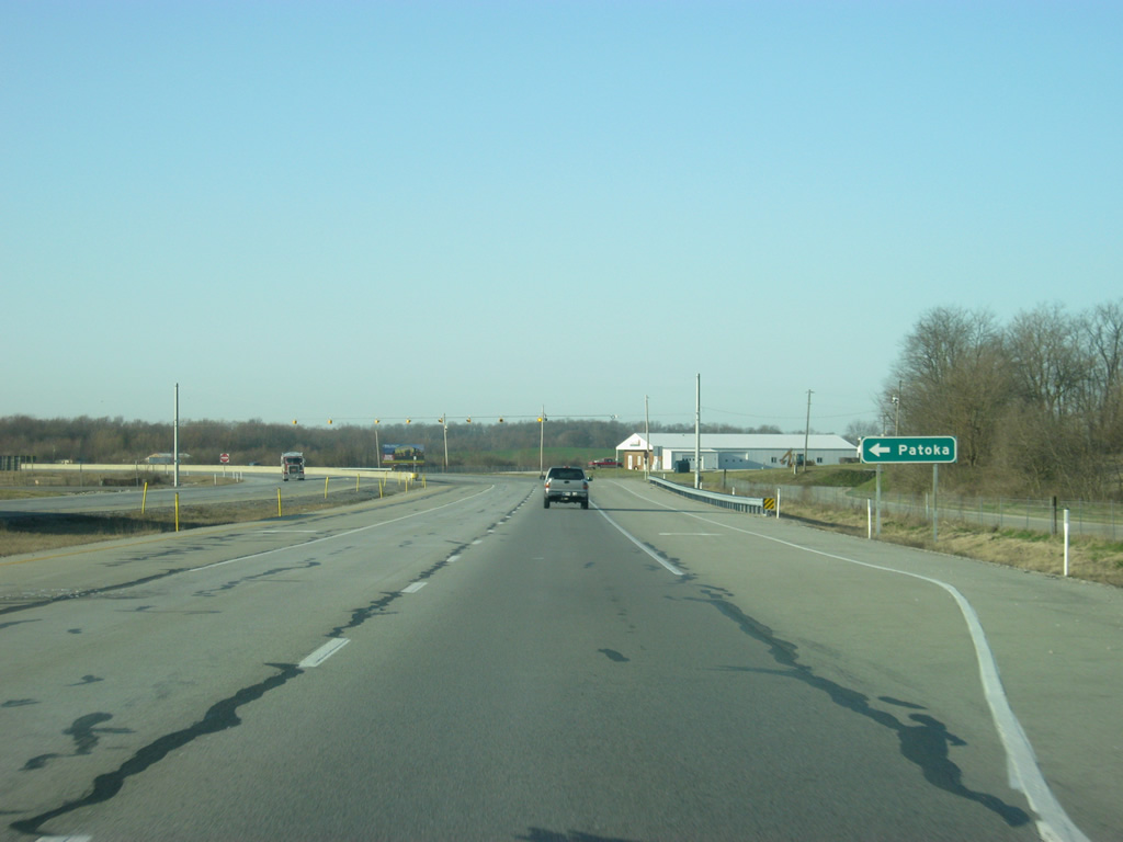
| U.S. 41 crosses County Road 350 North, which heads east into the town of Patoka. In Patoka, the road connects with Main Street, which follows U.S. 41's original routing south from Patoka into Princeton. 03/06/12 |
|
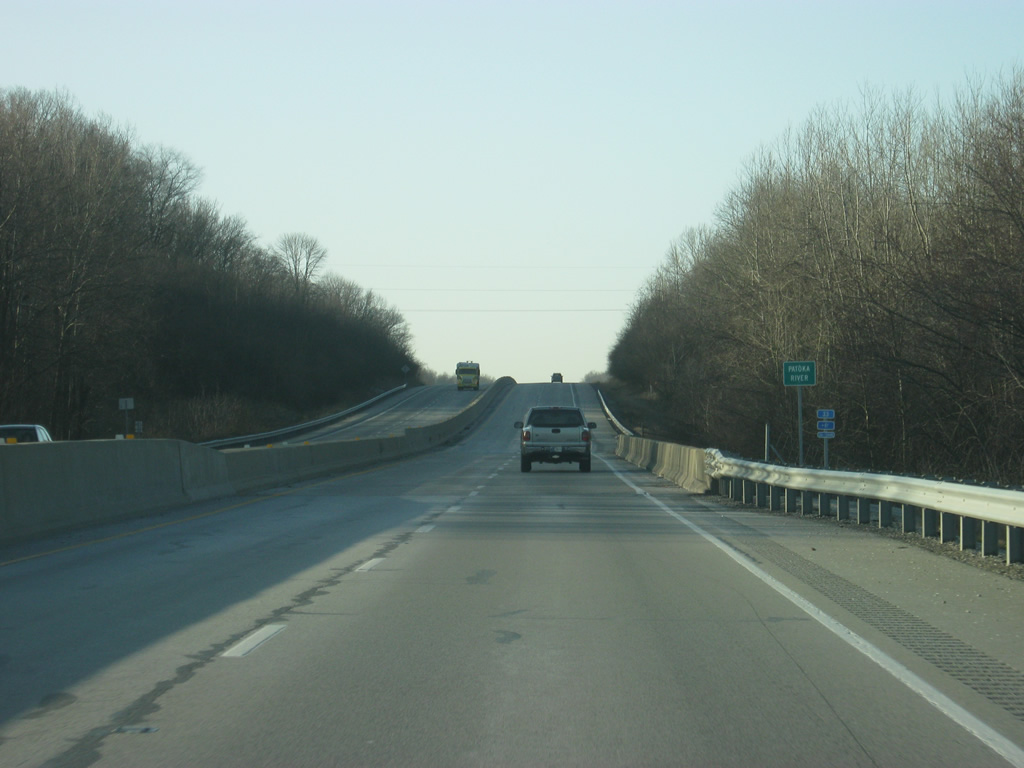
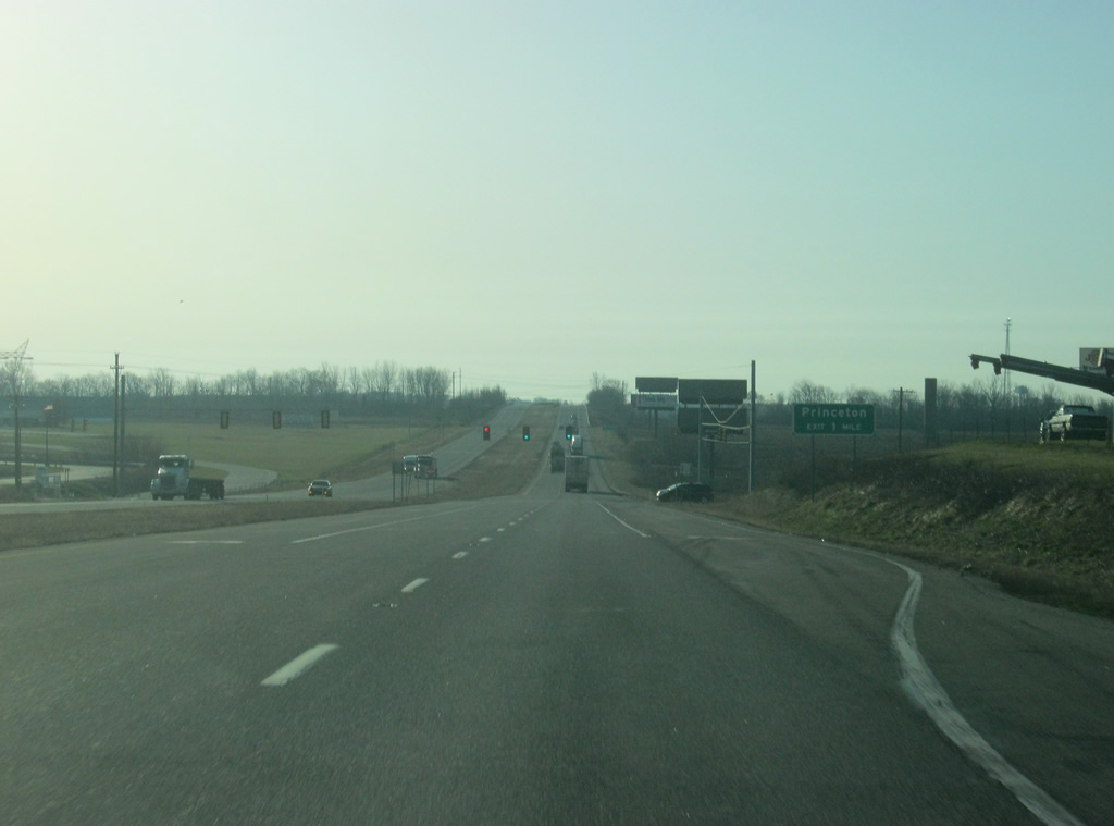
| U.S. 41 bypasses both Patoka and Princeton to the west as it crosses over the Patoka River. 03/06/12 |
|
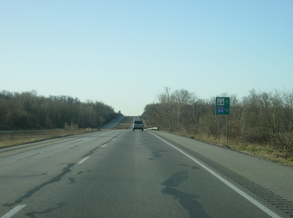
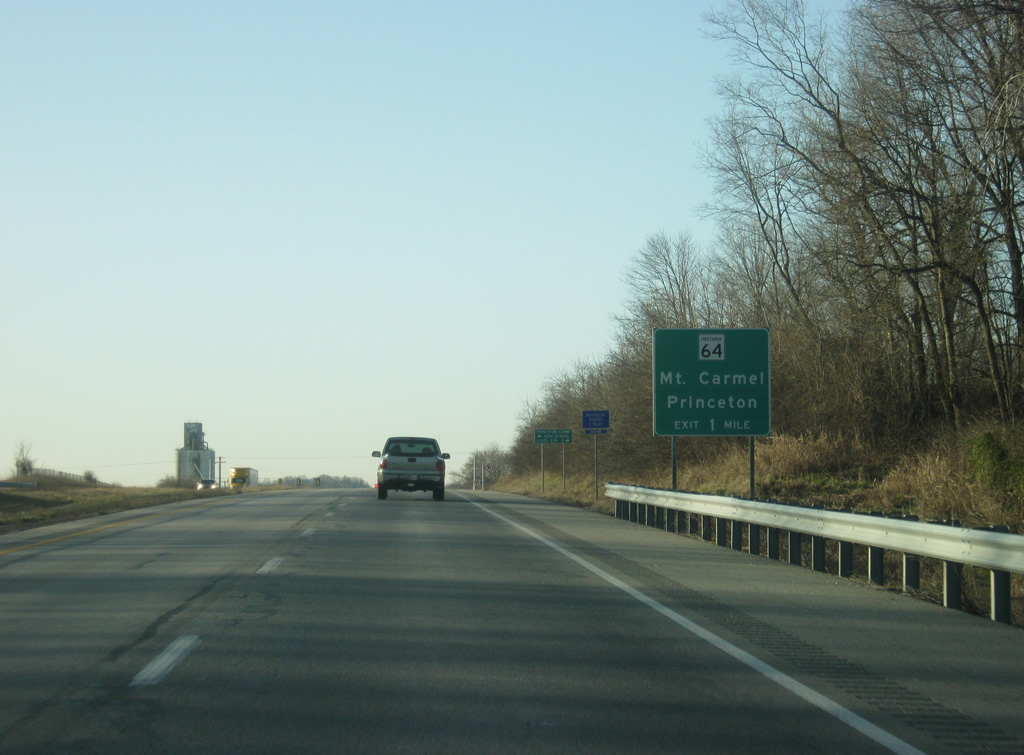
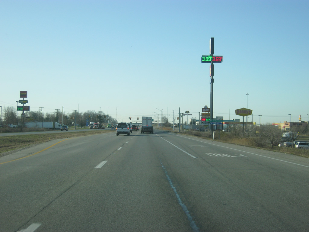
| A special distance sign on U.S. 41 gives the distances to SR 64 (2 miles) and Interstate 64 (15 miles). The sign helps motorists ensure that they find the correct Highway 64 since the two highways follow close to each other across Southern Indiana. 03/06/12 |
|
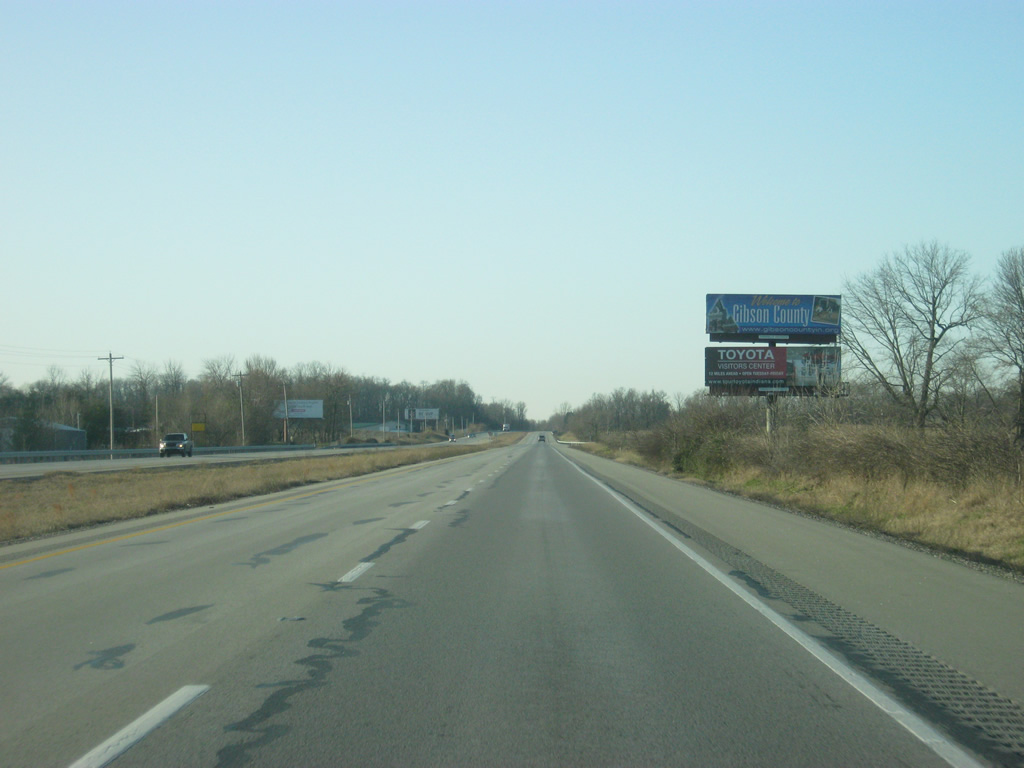
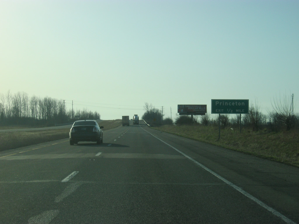
| On the west side of Princeton, U.S. 41 is one mile away from the cloverleaf interchange with SR 64 (Broadway Avenue) in a commercialized area of the city. While the signs omit it, SR 65 overlaps with SR 64 at the U.S. 41 interchange. SR 65 travels for 47.7 miles from SR 66 northwest of Evansville and follows a path to the northeast that ends at SR 56 west of Petersburg. 03/06/12 |
|
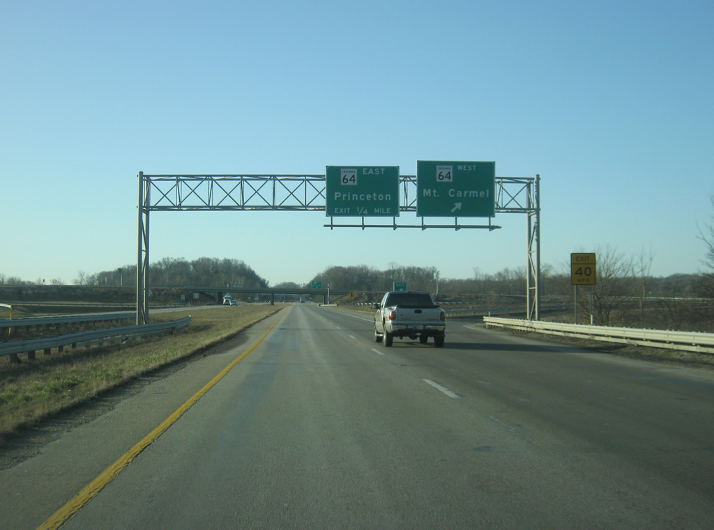
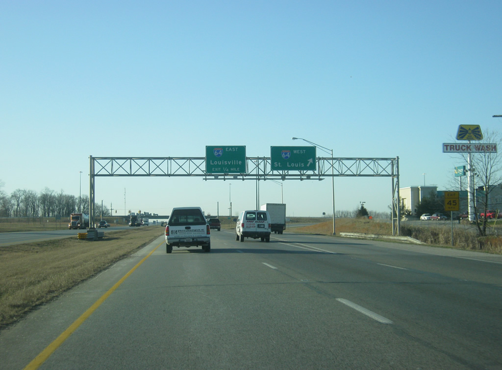
| Traffic bound for SR 64 west & 65 south departs U.S. 41 south. SR 64 (Broadway Avenue) goes for 107 miles from the Wabash River outside of Mt. Carmel, Illinois and east through the communities of Princeton, Oakland City, Huntingburg and English before ending at Interstate 64 near Georgetown.
SR 65 remains multiplexed with SR 64 for 4.8 miles to their split near Lyles Station. SR 65 continues south from there toward Owensville while SR 64 goes for another 4.7 miles to the Wabash River and the community of Mt. Carmel.
The stretch of SR 64 between Princeton and Mt. Carmel has been slated for expansion to four lanes due to increased traffic in between the two communities, beginning with the construction of a new bridge over the Wabash River at Mt. Carmel. 03/06/12 |
|
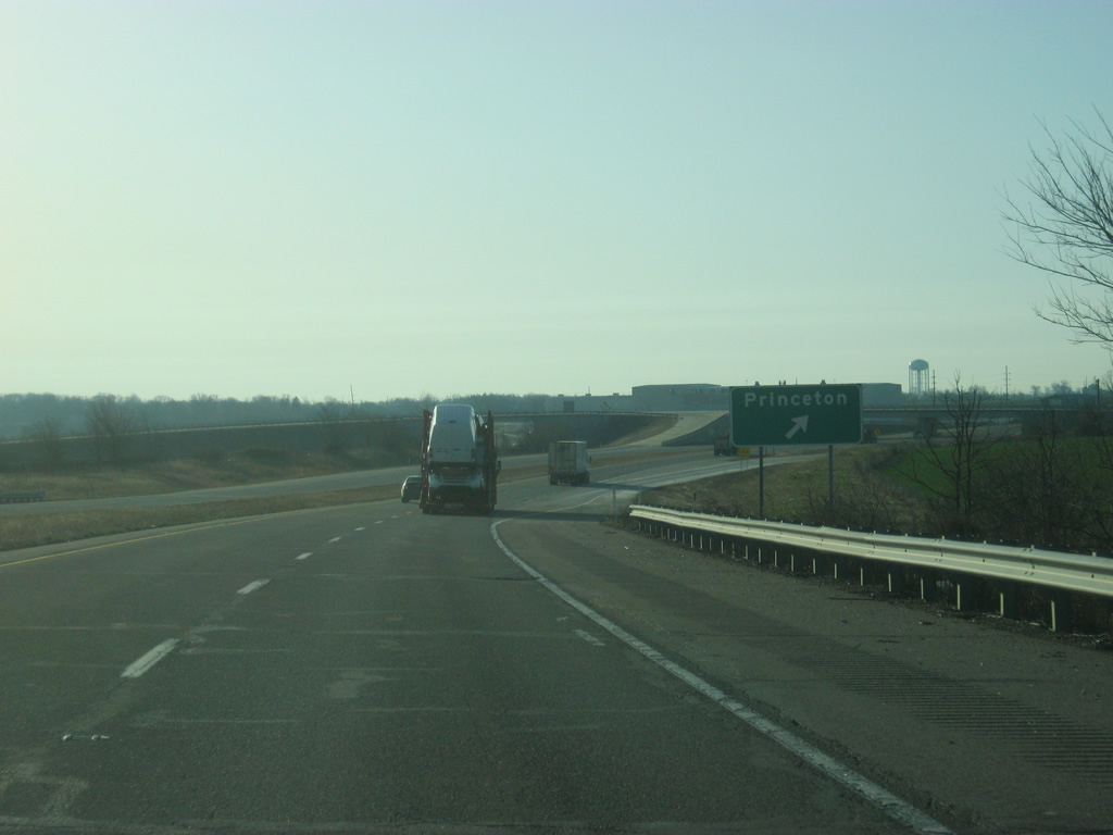
| A loop ramp directs traffic off of U.S. 41 south and onto SR 64 & SR 65 (Broadway Avenue) east. SR 64 (Broadway Avenue) travels the length of the city of Princeton while SR 65 heads north along Main Street out from downtown. SR 64 will meet with Interstate 69 about 11 miles to the east near Oakland City. 03/06/12 |
|
| South of the SR 64 & SR 65 interchange, U.S. 41 is 22 miles away from Evansville. 03/06/12 |
|
| U.S. 41 turns toward the southeast as it bypasses Princeton to its southwest now. 03/06/12 |
|
| U.S. 41 is now a mile away from the interchange with Main Street (old U.S. 41) and County Road 300 South as it crosses the signalized intersection with County Road 100 West. 03/06/12 |
|
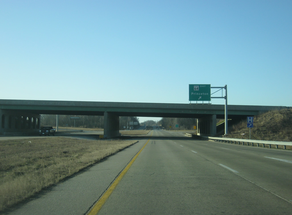
| Now a half mile from the Main Street (old U.S. 41) and County Road 300 South interchange. This is the spot where the original U.S. 41 rejoins the expressway to the south of Princeton. 03/06/12 |
|
| An exit ramp turns off of U.S. 41 south for Main Street, which follows the former path of U.S. 41 into Downtown Princeton. To the west, County Road 300 South continues into rural areas of Gibson County. 03/06/12 |
|
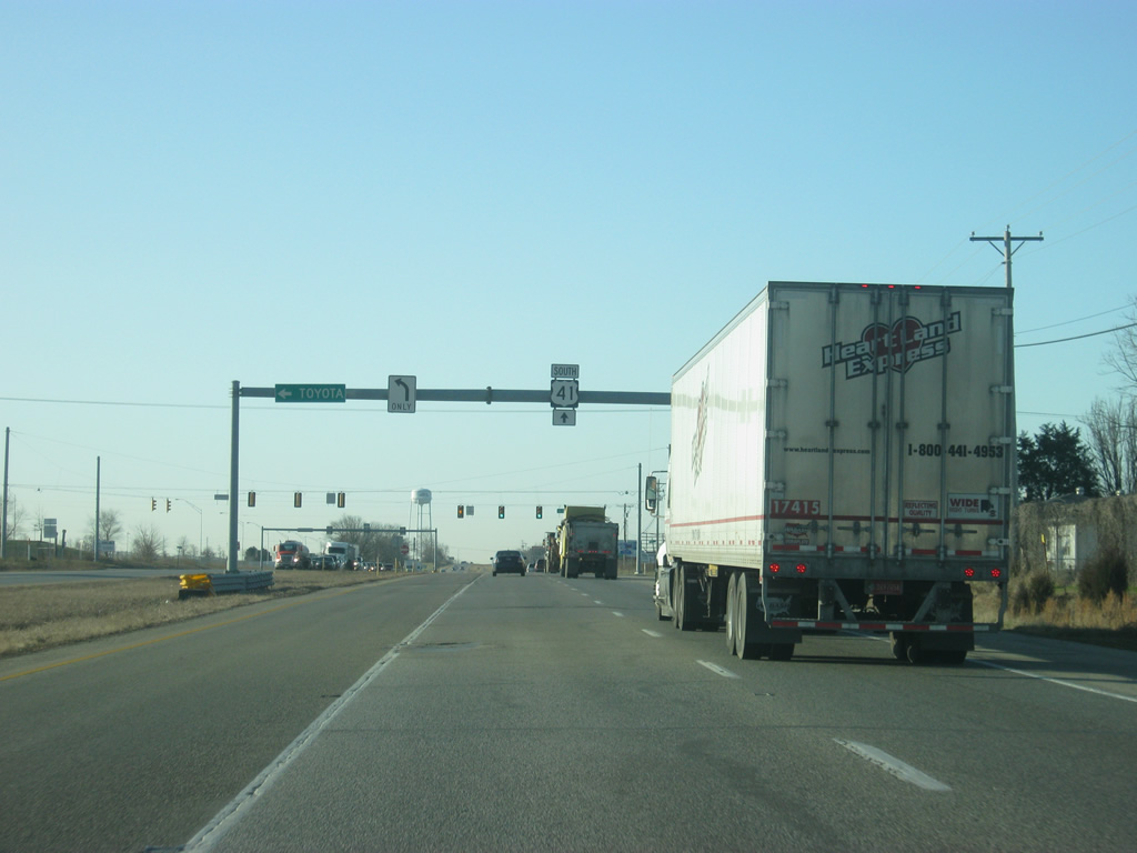
| Past the Main Street/County Road 300 South interchange, U.S. 41 has an intersection with County Road 350 South, which provides a northern entrance to the Toyota plant. The plant is responsible for some of the suburban growth in southern Gibson County as well as within Princeton itself. 03/06/12 |
|
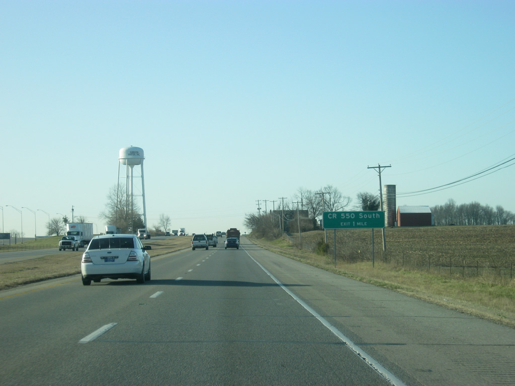
| South of the County Road 350 South intersection, the parclo interchange with U.S. 41 and County Road 550 South approaches in one mile. 03/06/12 |
|
| The off-ramp for County Road 550 South leaves U.S. 41 south. This interchange was constructed to improve access to the late 1990s-built Toyota manufacturing plant. 03/06/12 |
|
| South of the County Road 550 South interchange, Interstate 64 is seven miles away with Evansville now at 16 miles. 03/06/12 |
|
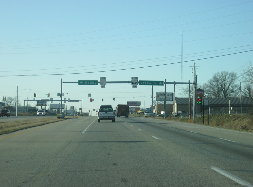
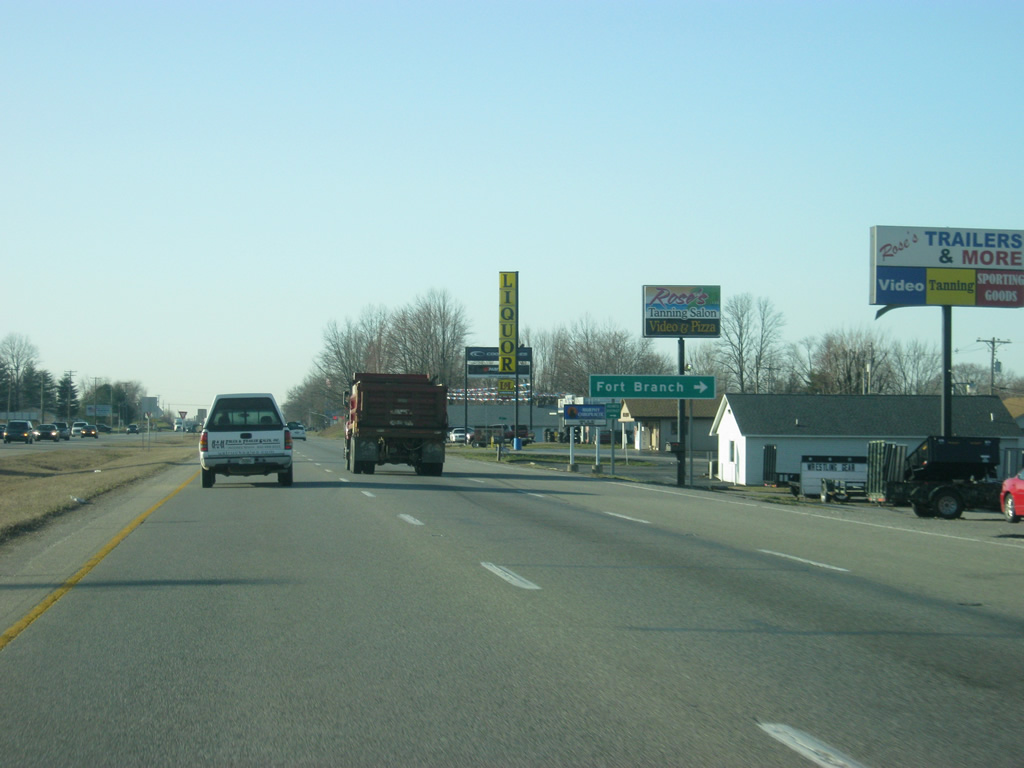
| Nearing the community of Fort Branch (population 2,771), which has become a suburb of the larger Evansville area. SR 168 (Park Street), a 16.5 mile highway that goes from SR 65 in Owensville to SR 57 in Mackey, meets U.S. 41 up ahead. 03/06/12 |
|
| Strain Street connects U.S. 41 with the center part of Fort Branch to the west while County Road 750 South heads east from the highway. 03/06/12 |
|
| Now coming up to the intersection of U.S. 41 with County Road 800 South/Coal Mine Road on the south side of Fort Branch. 03/06/12 |
|
| South of Fort Branch, the traffic begins to pick up as weekday commuters work their way down U.S. 41 from Gibson County into the Evansville area, which is the major trade center for Southwest Indiana. 03/06/12 |
|
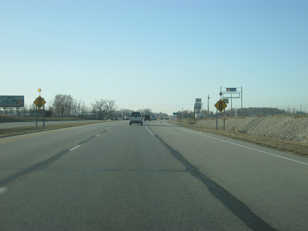
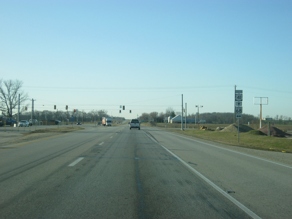
| U.S. 41 crosses the intersection with SR 68, a 53 mile route that stretches from SR 69 near New Harmony eastward through the small towns of Poseyville, Cynthiana, Haubstadt and Lynnville to an end at U.S. 231 near Dale. 03/06/12 |
|
| A stoplight marks the intersection between U.S. 41 and SR 68. It's a 1.4 mile drive to the town of Haubstadt to the west and a five mile drive to the interchange with I-69/SR 57. The town of Lynnville lies 15 miles to the east.
SR 68 runs parallel to Interstate 64 for nearly its entire journey from New Harmony to Dale. 03/06/12 |
|
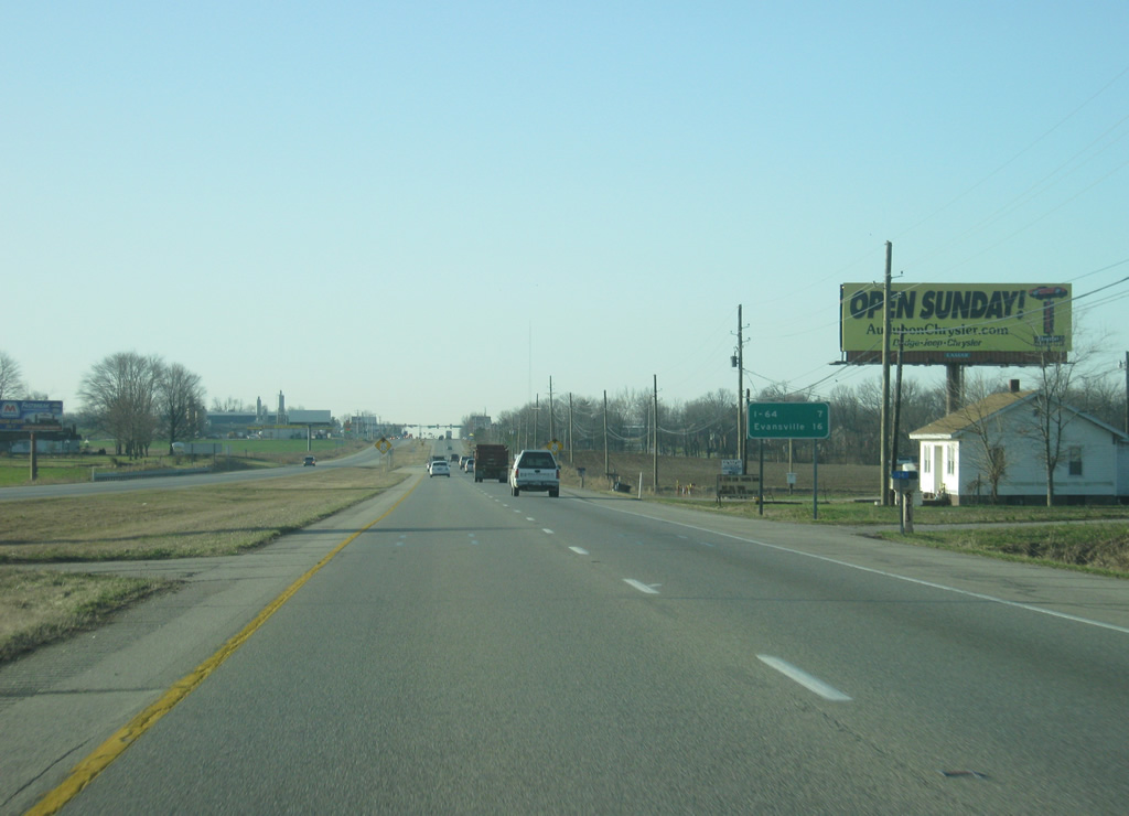
| From the junction with SR 68 it's an 11 mile drive to Evansville. Henderson, Kentucky, on the other side of the Ohio River, follows at 22 miles. Southbound traffic bound for Henderson and points south should use U.S. 41 to Interstate 64 and Interstate 164 to bypass the Evansville area, which is riddled with stoplights for its stretch of U.S. 41. 03/06/12 |
|
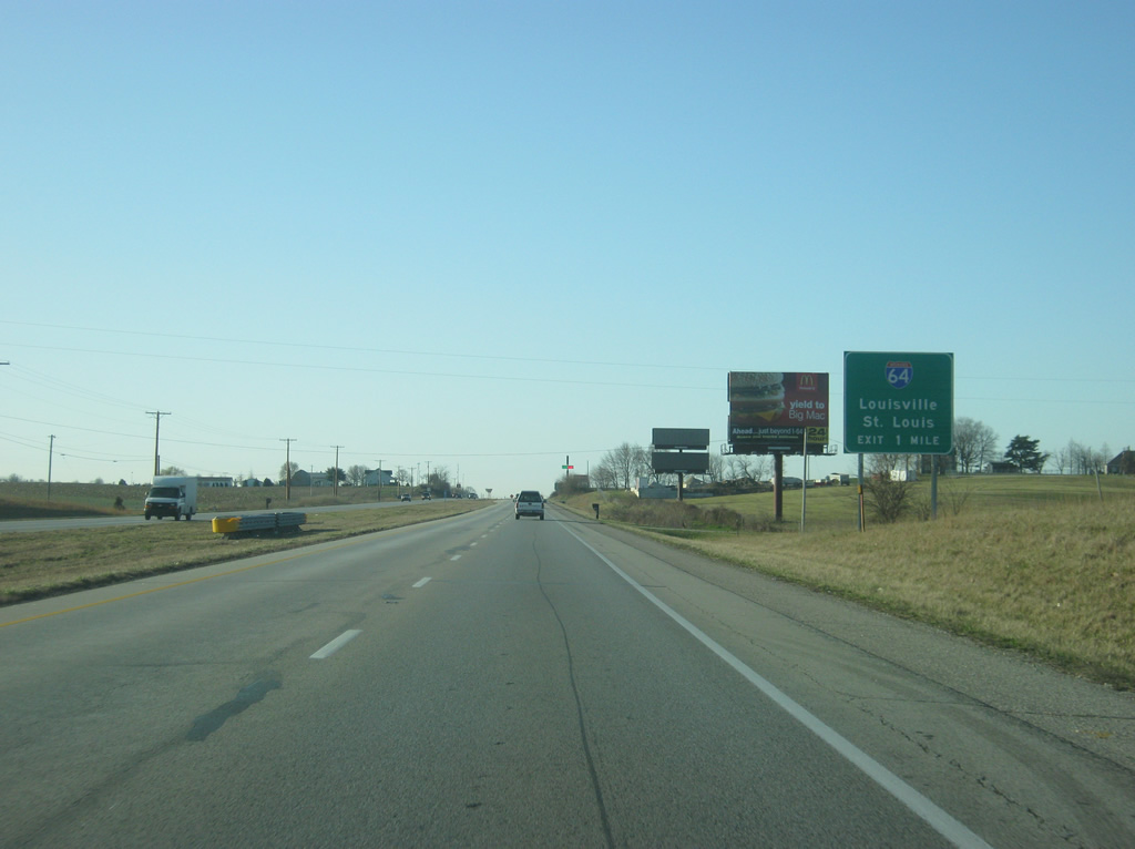
| U.S. 41's next interchange is with Interstate 64 up ahead. In the median, blue 2/10 mile markers begin. The mile markers can be found along U.S. 41 in Vanderburgh County as well as SR 62 and 66 and Interstate 164 in the Evansville area. 03/06/12 |
|
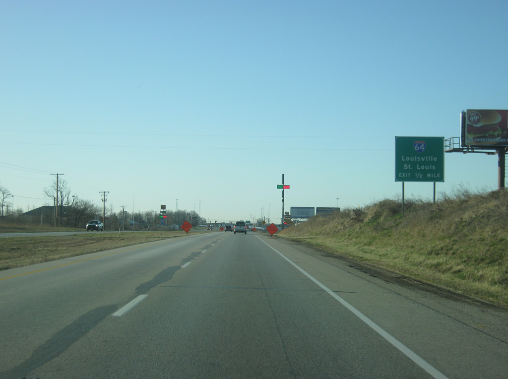
| A cloverleaf interchange joins U.S. 41 with Interstate 64, 972 mile interstate highway that stretches from Wentzville, Missouri to Hampton Roads, Virginia. 03/06/12 |
|
| U.S. 41 sees a number of traveler services on both sides of its interchange with Interstate 64, which is a half mile away from this point. In Indiana, Interstate 64 goes for 123 miles from the Wabash River east to the Falls City area around Louisville, finally crossing over the Sherman Minton Bridge across the Ohio River. The interstate passes by only a few communities as it crosses rural southern Indiana. 03/06/12 |
|
| North of the cloverleaf interchange with Interstate 64, U.S. 41 comes up to the intersection with County Road 1250 South west and Warrenton Road east, which leads one mile to the community of Warrenton. 03/06/12 |
|
| The westbound ramp to Interstate 64 departs U.S. 41 south for the state of Illinois and St. Louis, Missouri, a two hour drive from here. 03/06/12 |
|
| As U.S. 41 passes underneath Interstate 64, it enters Vanderburgh County (population 179,703). Home to the city of Evansville, Vanderburgh County is the cultural and economic hub of the Tri-State area of Southwest Indiana and parts of Kentucky and Illinois. 11/07/11 |
|
| U.S. 41 south at the ramp for Interstate 64 east, which continues to the junction with Interstates 164 and 69 & SR 57. East from the next exit, it is a 100 mile journey to the city of Louisville, Kentucky. 11/07/11 |
Page Updated 04-29-2013.

 south
south