|
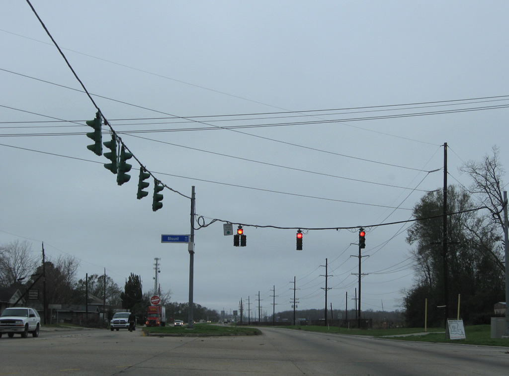
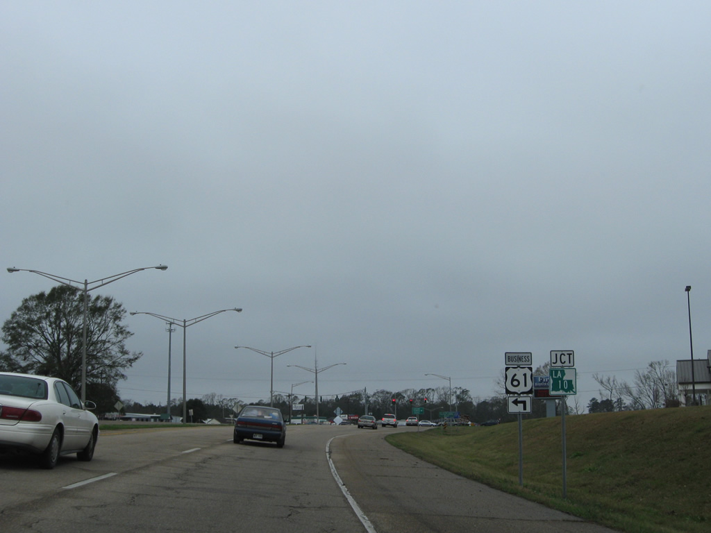
| Traffic from Interstate 110 north merges onto U.S. 61 (Scenic Highway) ahead of the traffic light with Blount Road. Blount Road links Scenic Highway with northern reaches of the Scotlandville street grid to the west and connects with LA 19 (Scotland Baker Road) to the east. 01/05/09 |
|
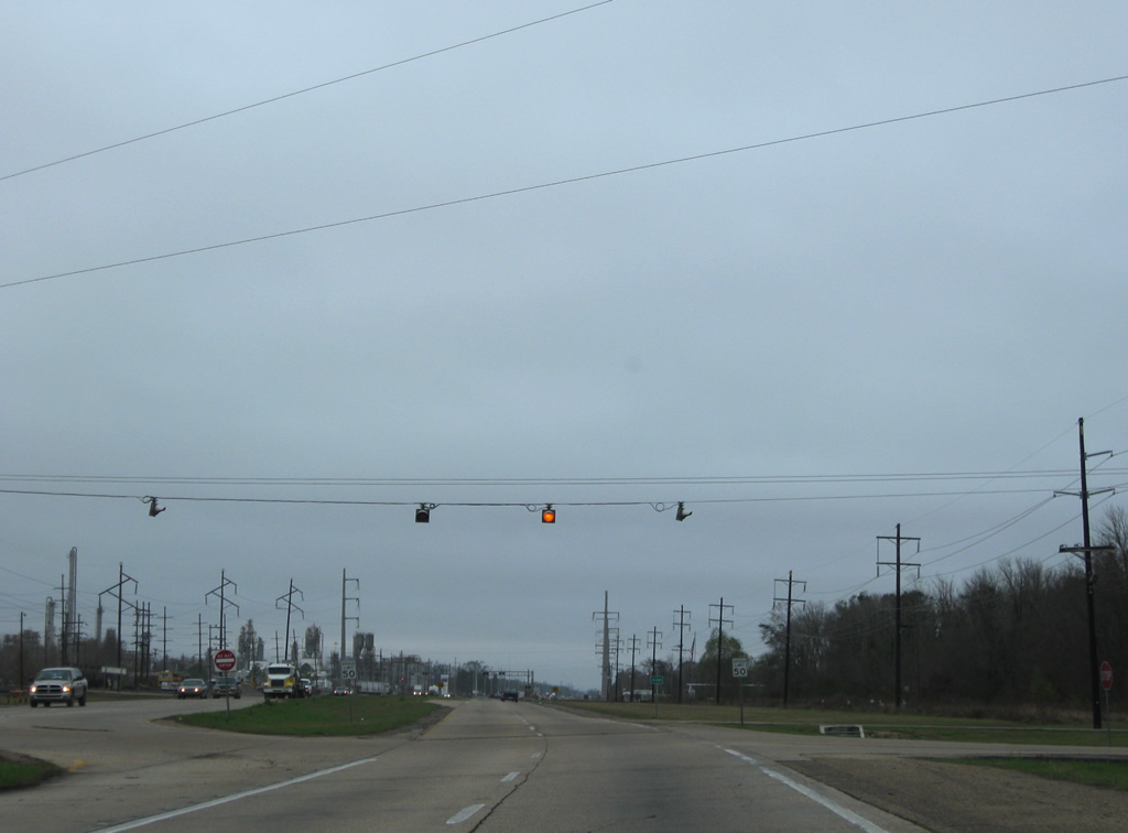
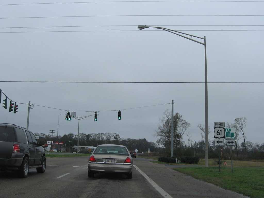
| U.S. 61 exits the city of Baton Rouge north of Blount Road and bisects an industrial area to the split with LA 964. Thomas Road meets Scenic Highway at a set of flashers, west of the intersection with LA 19/423 near Baker. 01/05/09 |
|
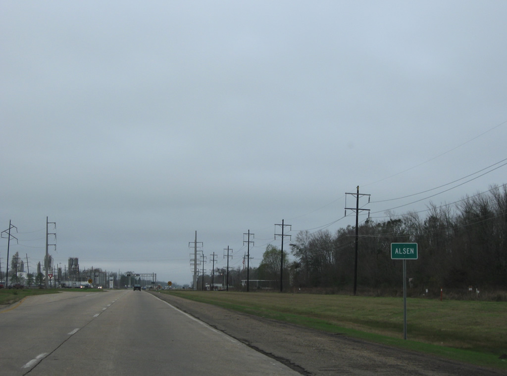
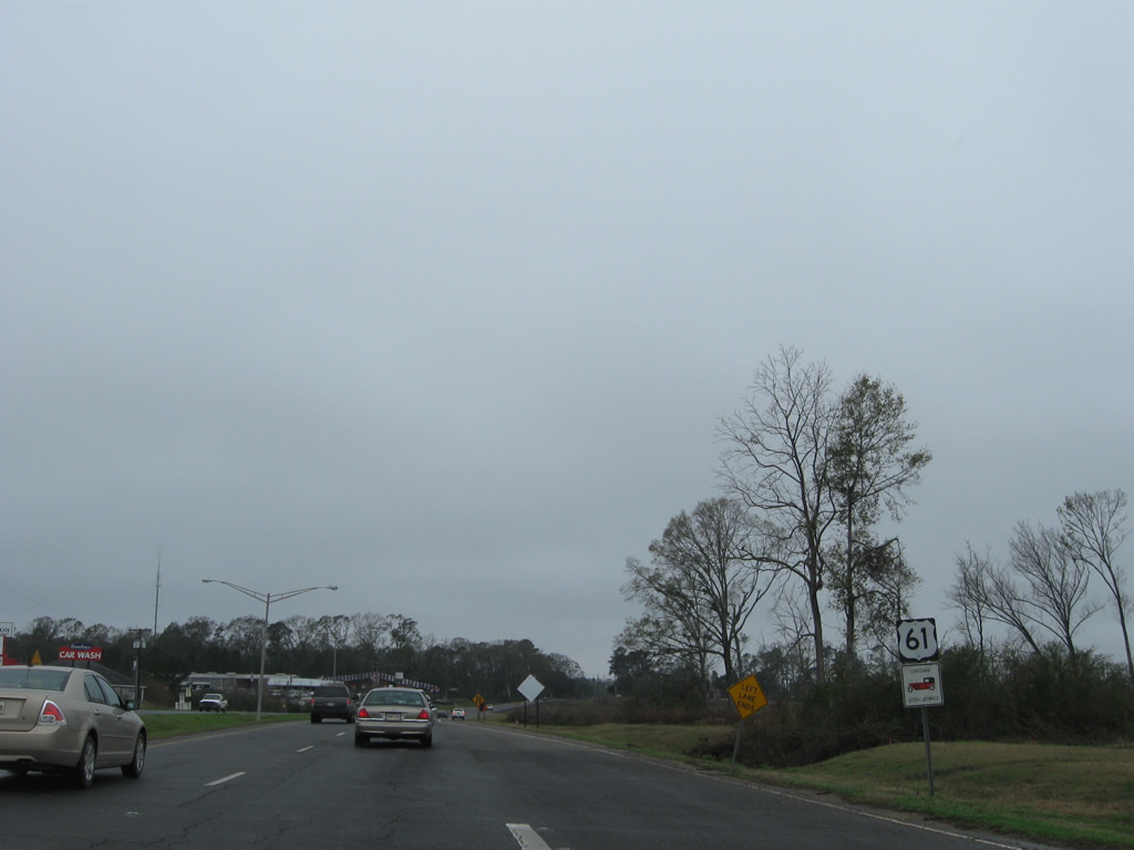
| Unincorporated Alsen lies along U.S. 61 north between Thomas Road and LA 964 (Old Scenic Highway). 01/05/09 |
|
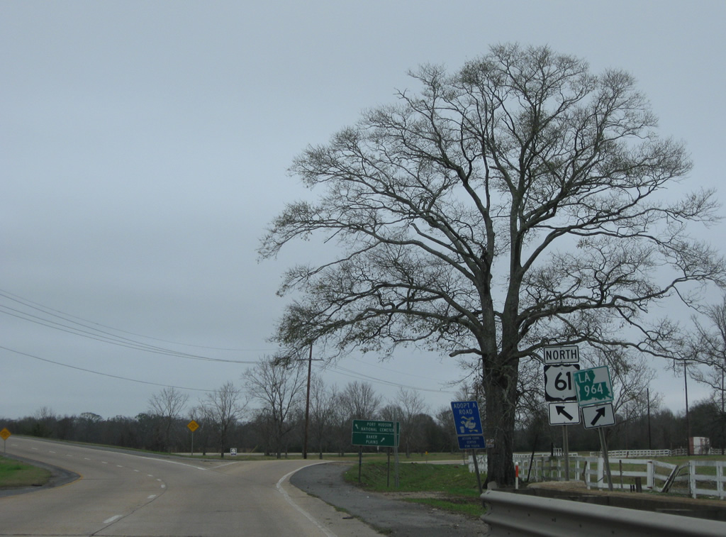
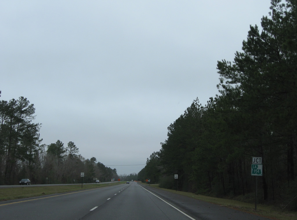
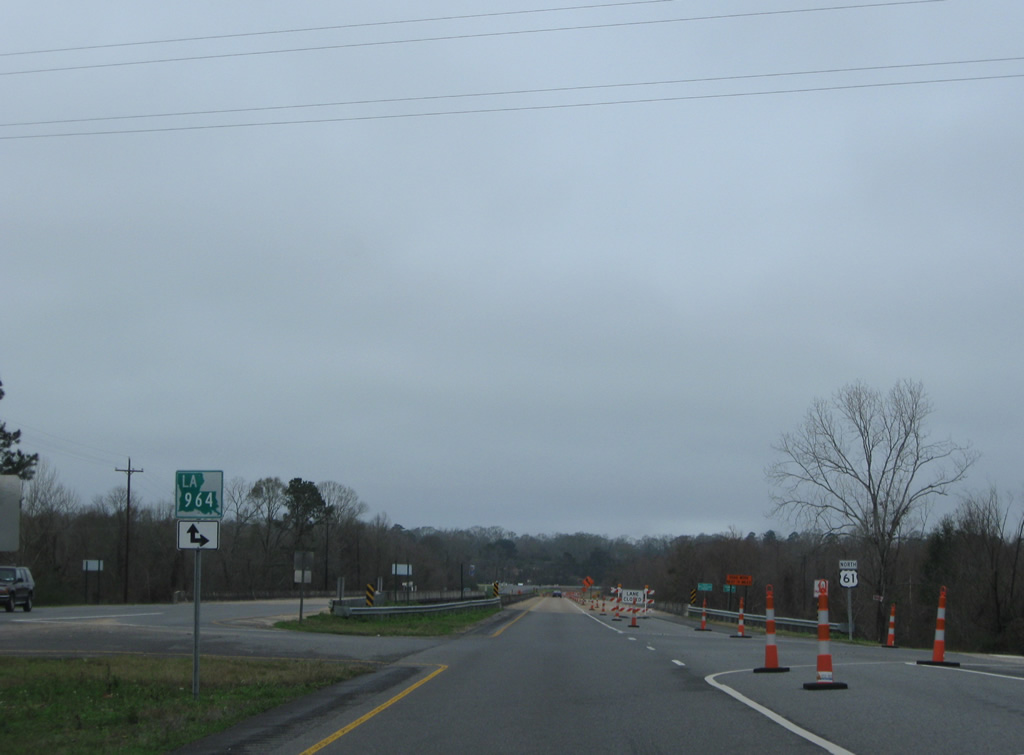
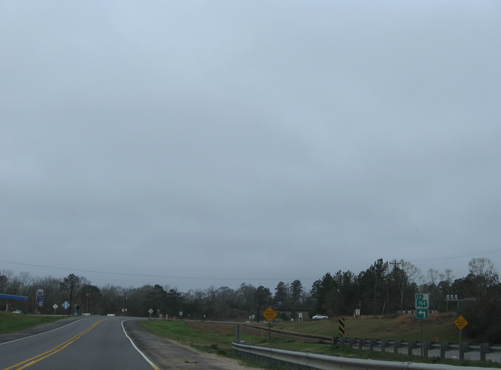
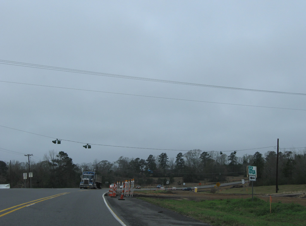
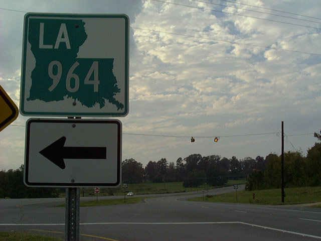
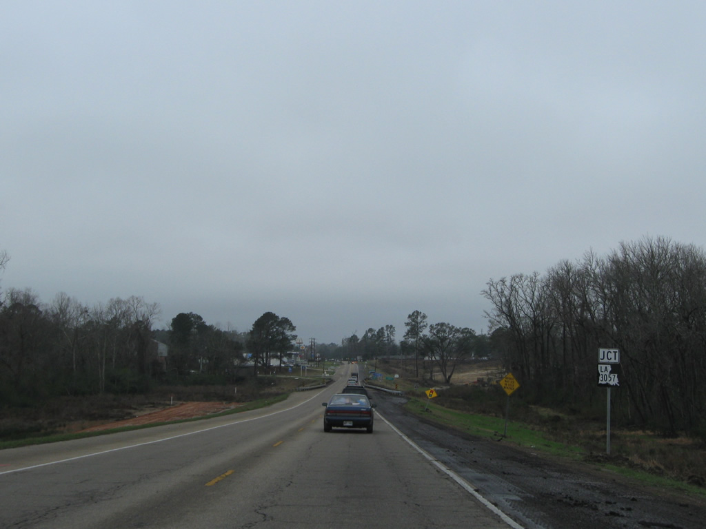
| LA 964 (Old Scenic Highway ) branches north from U.S. 61 (Scenic Highway) at a two-wye interchange. LA 964 loops east from U.S. 61 along the former US 61 alignment through western reaches of Zachary and Plains to East Feliciana Parish. 01/05/09 |
|
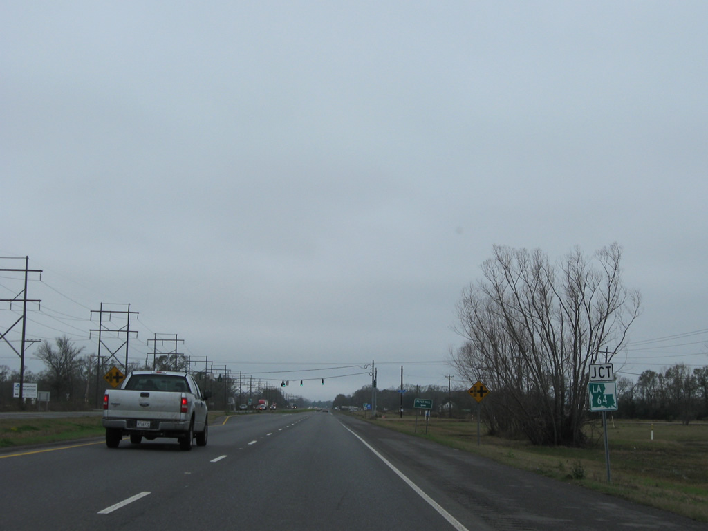
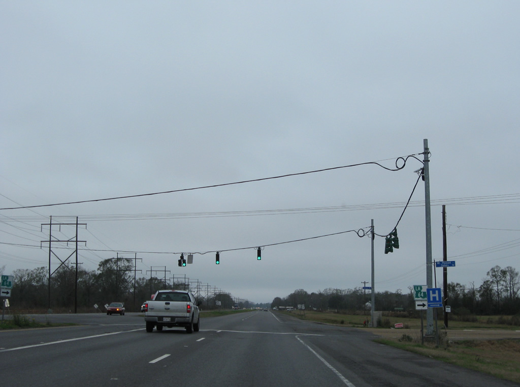
| LA 64 leads west from Zachary to end at U.S. 61 east of Mt. Pleasant. 01/05/09 |
|
| LA 64 follows Mt. Pleasant-Zachary Road east to LA 964 (Old Scenic Highway) in Zachary and Church Street from there to the city center. LA 64 is a 23.7 mile highway arcing southeast to Deerford, Greenwell Springs and northern reaches of Denham Springs. 01/05/09 |
|
| U.S. 61 and the parallel Kansas City Southern Railroad line proceed northwest to Bonn from LA 64. 01/05/09 |
|
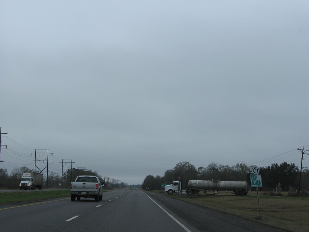
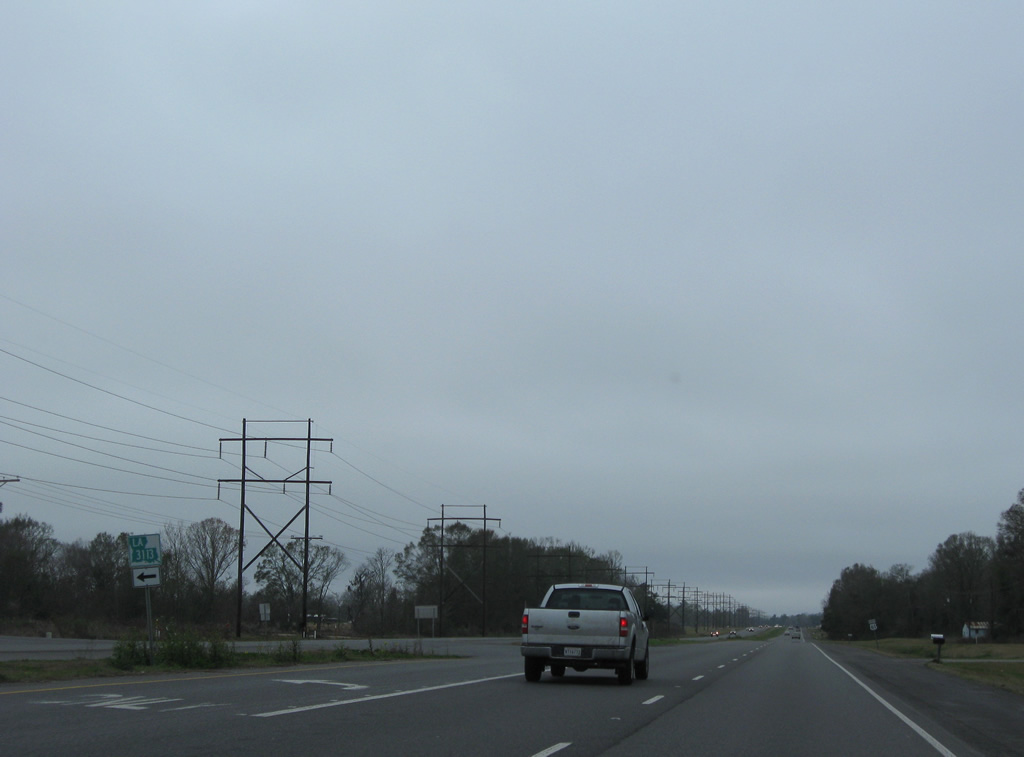
| LA 3113 east meets U.S. 61 next from Port Hudson Cemetery Road. 01/05/09 |
|
| LA 3113 spurs west 1.91 miles to Port Hudson National Cemetery. 01/05/09 |
|
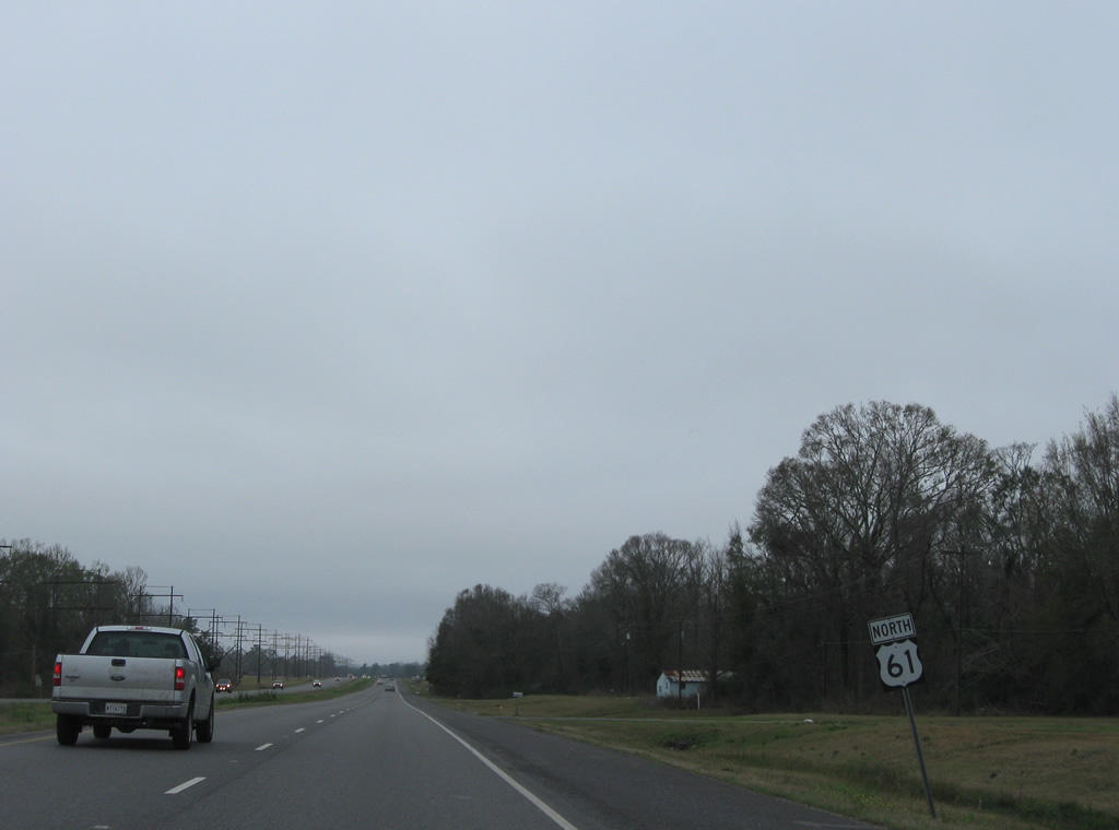
| Reassurance marker for U.S. 61 posted north of LA 3113 at Bonn. 01/05/09 |
|
| A shield for U.S. 61 follows the intersection of Port Hudson-Plains Road near Port Hudson. The east-west road was originally a part of LA 3004. 01/05/09 |
|
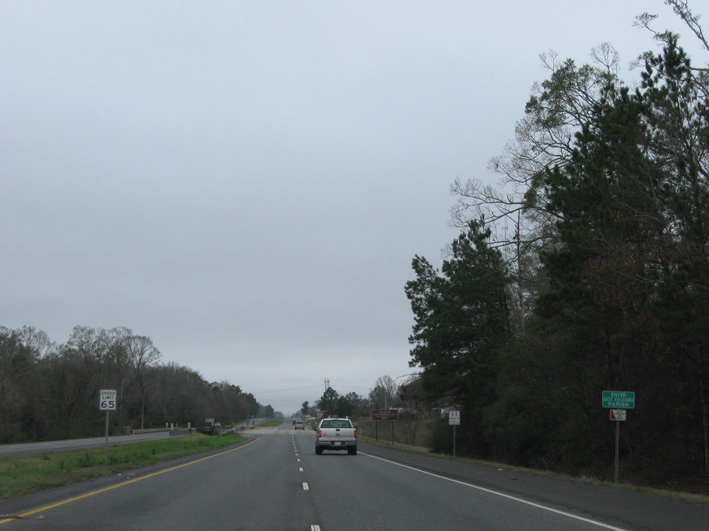
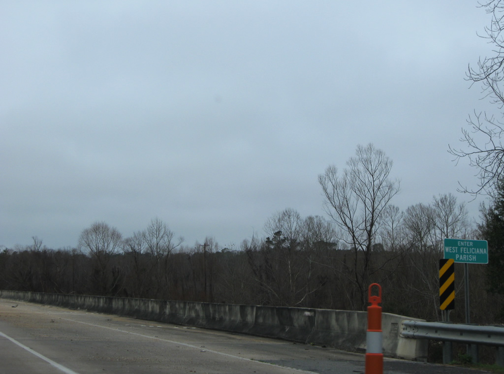
| Northbound travelers enter East Feliciana Parish just ahead of Foster Creek on U.S. 61. 01/05/09 |
|
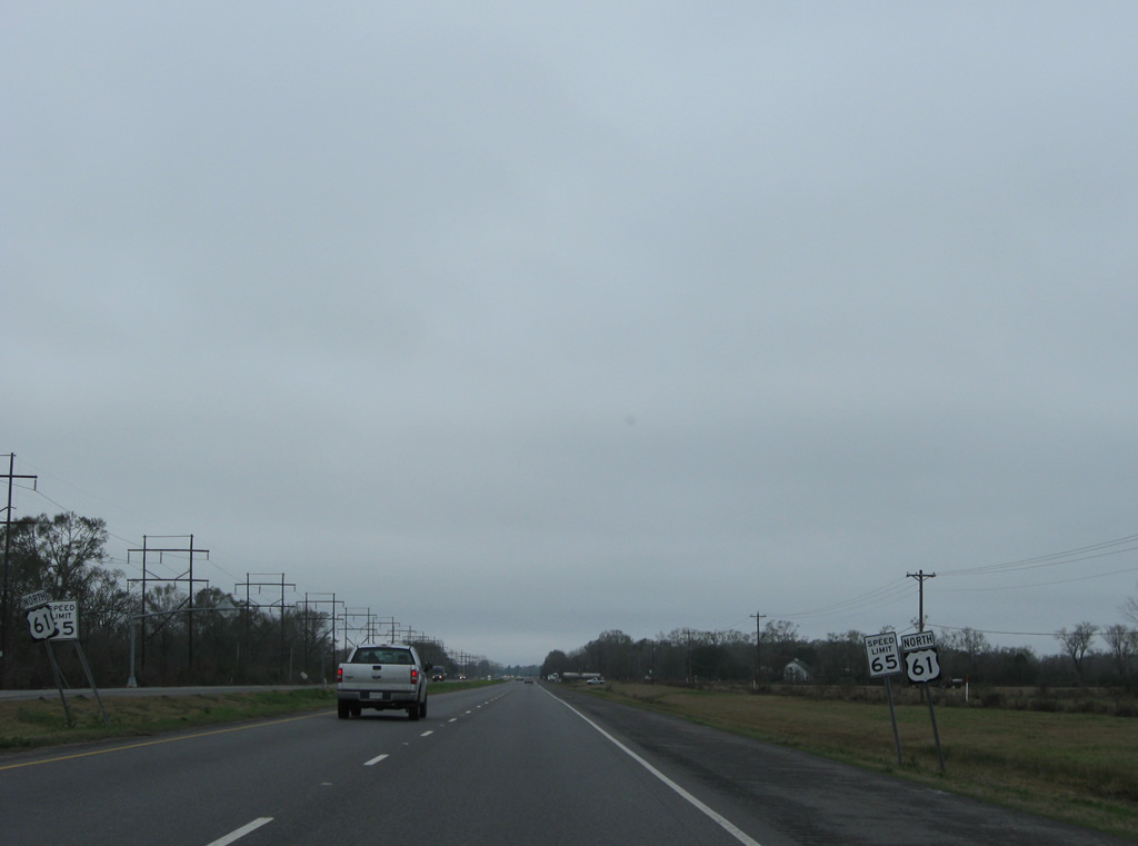
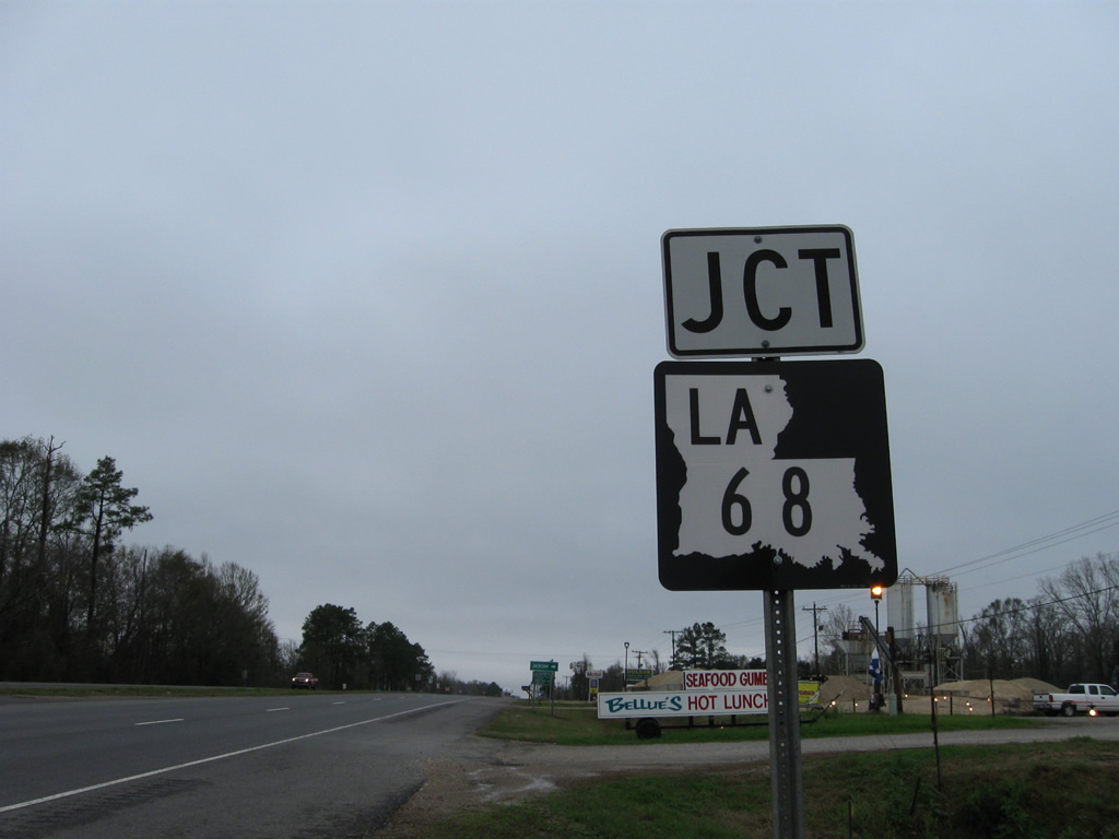
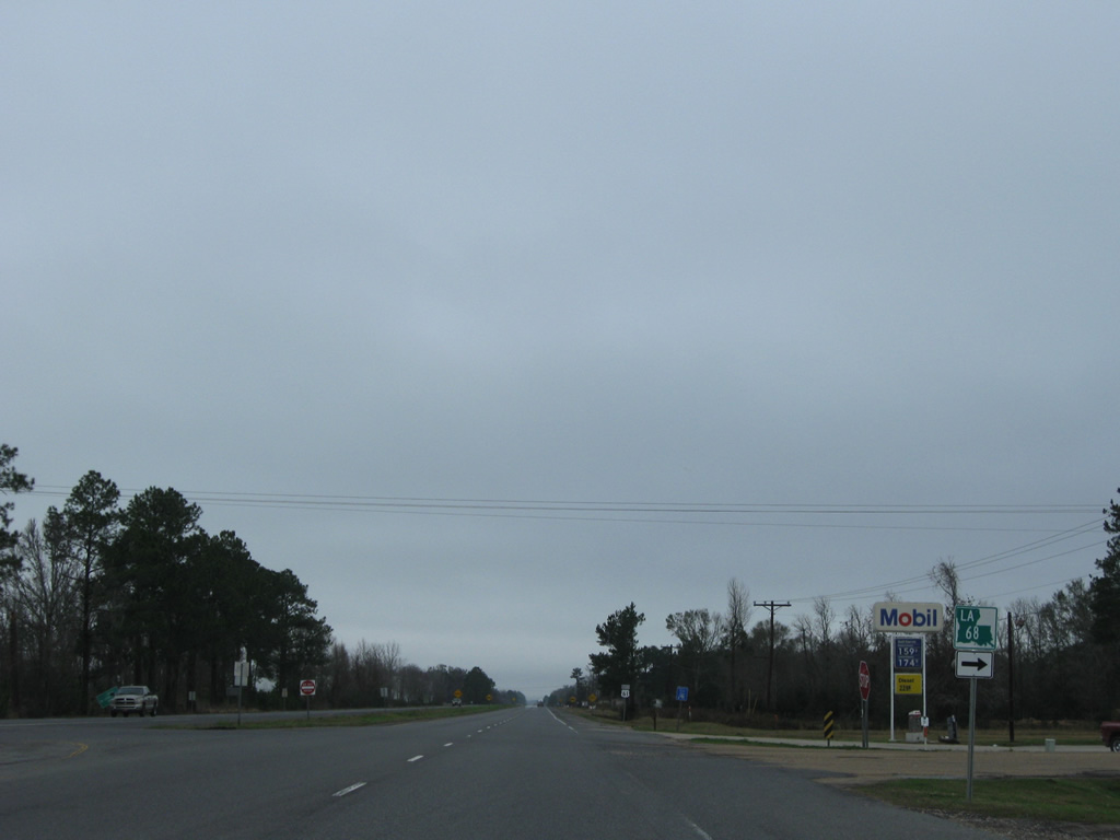
| The south end of LA 68 ties into U.S. 61 just north of the East Baton Rouge Parish line. LA 68 angles northeast 19.4 miles to LA 19 at Wilson. 01/05/09 |
|
| LA 68 leads north 11.3 miles to LA 10 near Jackson. 01/05/09 |
|
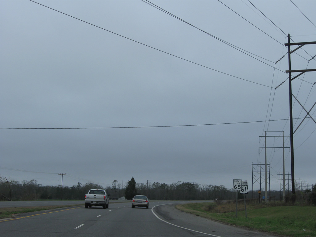
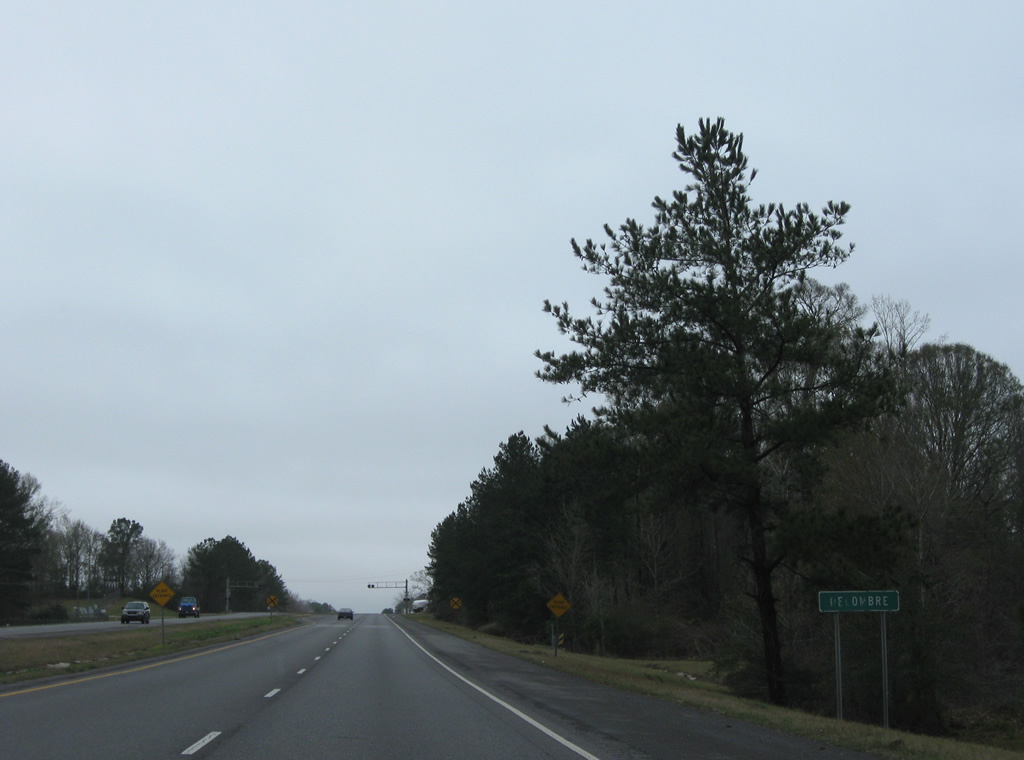
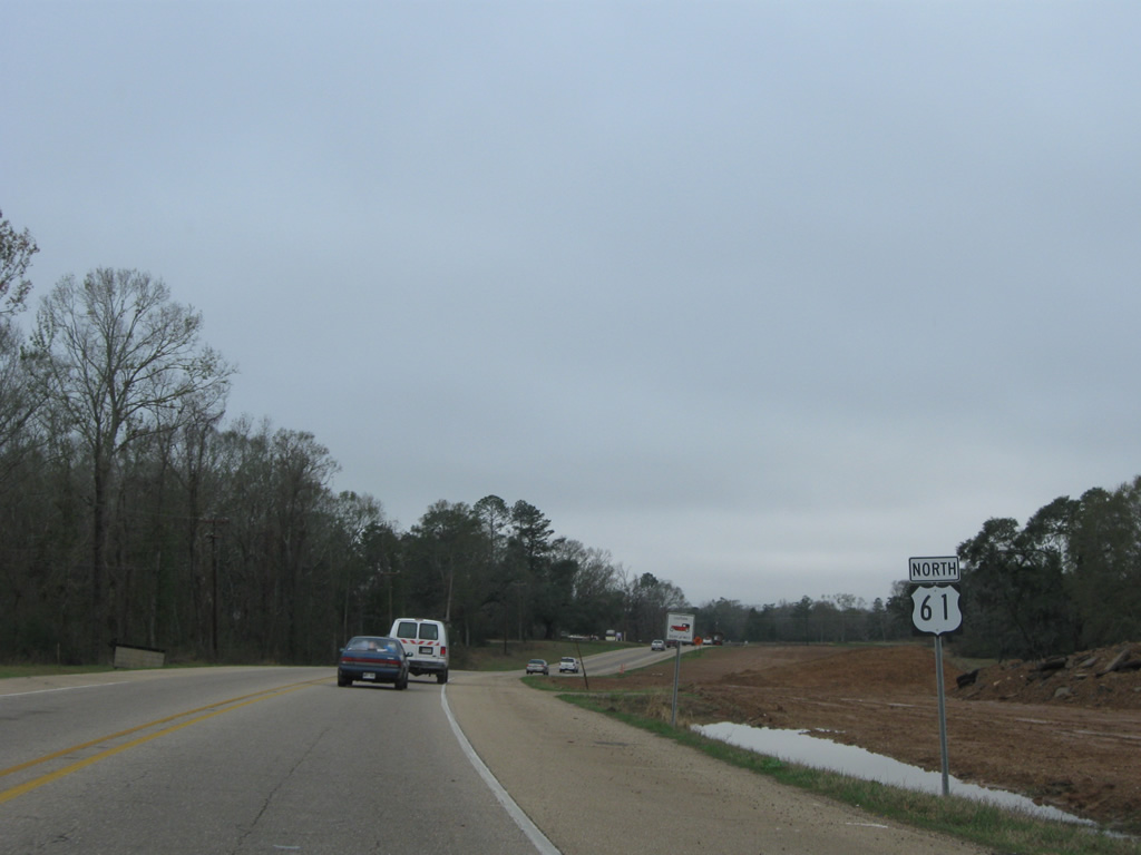
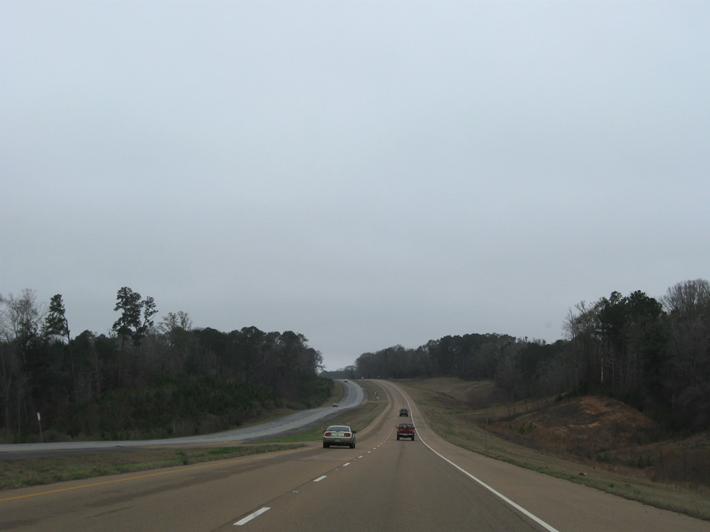
| Delombre is north along U.S. 61 between LA 68 and LA 954. A handful of residences and areas of oil tanks appear along the four lane highway on this stretch. 01/05/09 |
|
| Approaching the south end of LA 954 on U.S. 61 north. 01/05/09 |
|
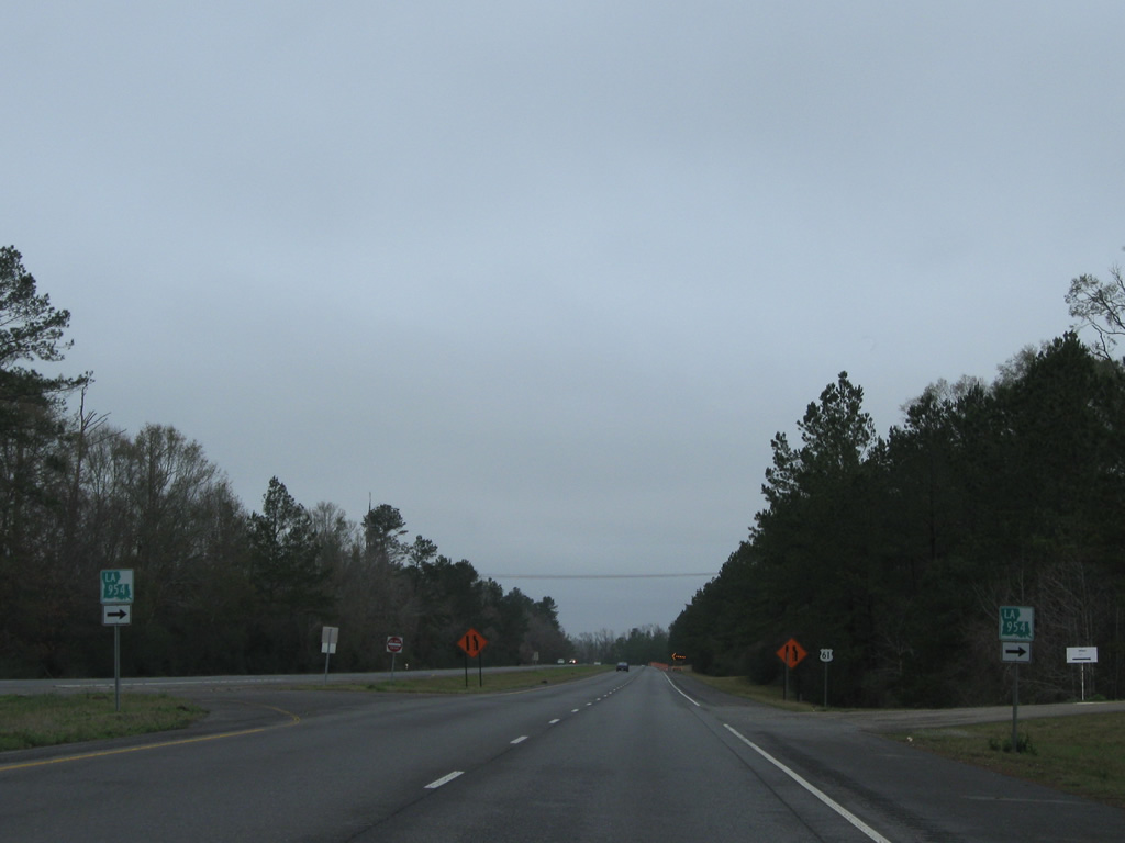
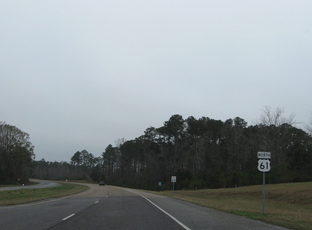
| LA 954 provides a cut off to LA 964 east to Lindsay from U.S. 61 north. The state highway is just 0.99 miles long. 01/05/09 |
|
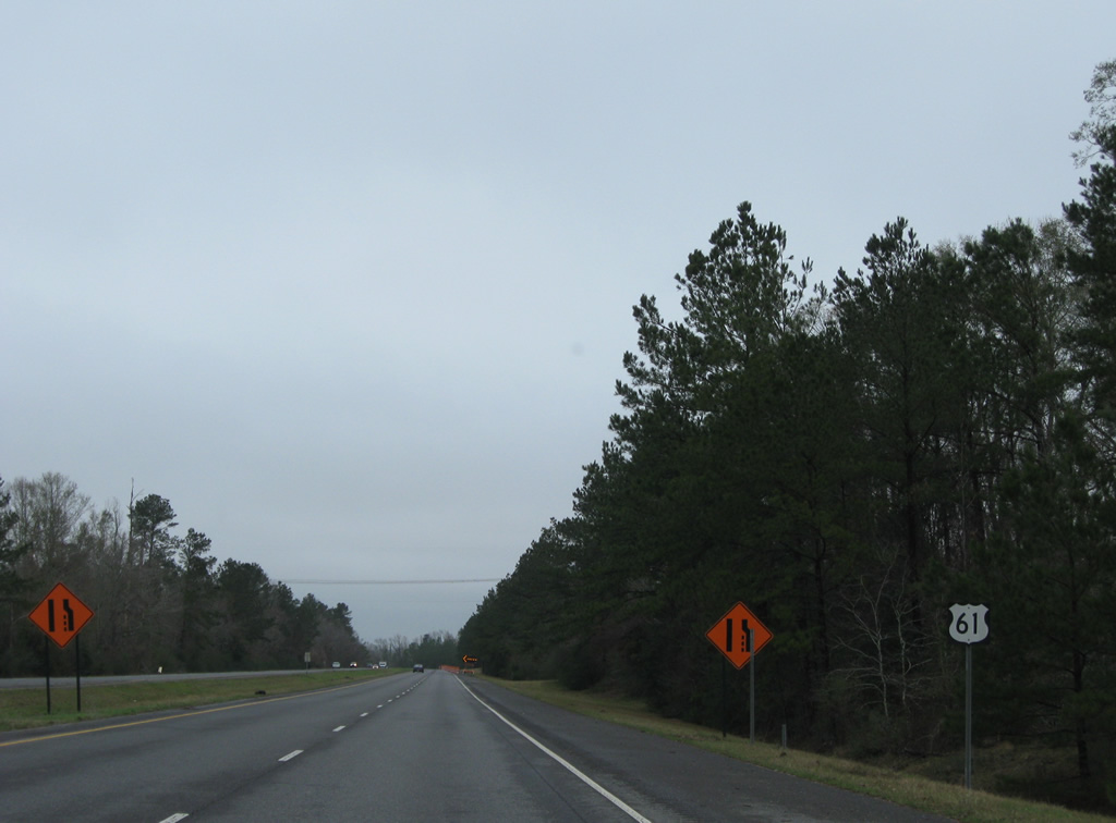
| An older style shield for U.S. 61 posted ahead of the western curve to Thompson Creek. 01/05/09 |
|
| LA 964, the former alignment of U.S. 61, returns to U.S. 61 just ahead of Thompson Creek. 01/05/09 |
|
| An implied overlap with LA 964 carries the state highway west 0.7 miles alongside U.S. 61 north. 01/05/09 |
|
| U.S. 61 proceeds across Thompson Creek along a pair of bridges built in 1987. 01/05/09 |
|
| Thompson Creek separates West and East Feliciana Parish from the Mississippi River north to the Magnolia State line. 01/05/09 |
|
| LA 964 parts ways with U.S. 61 just west of Thompson Creek. 01/05/09 |
|
| LA 964 spurs south 3.2 miles to the gate of an industrial plant near Alligator Bayou. The former grade of U.S. 61 from across Thompson Creek merges in from the right. 01/05/09, 10/03/03 |
|
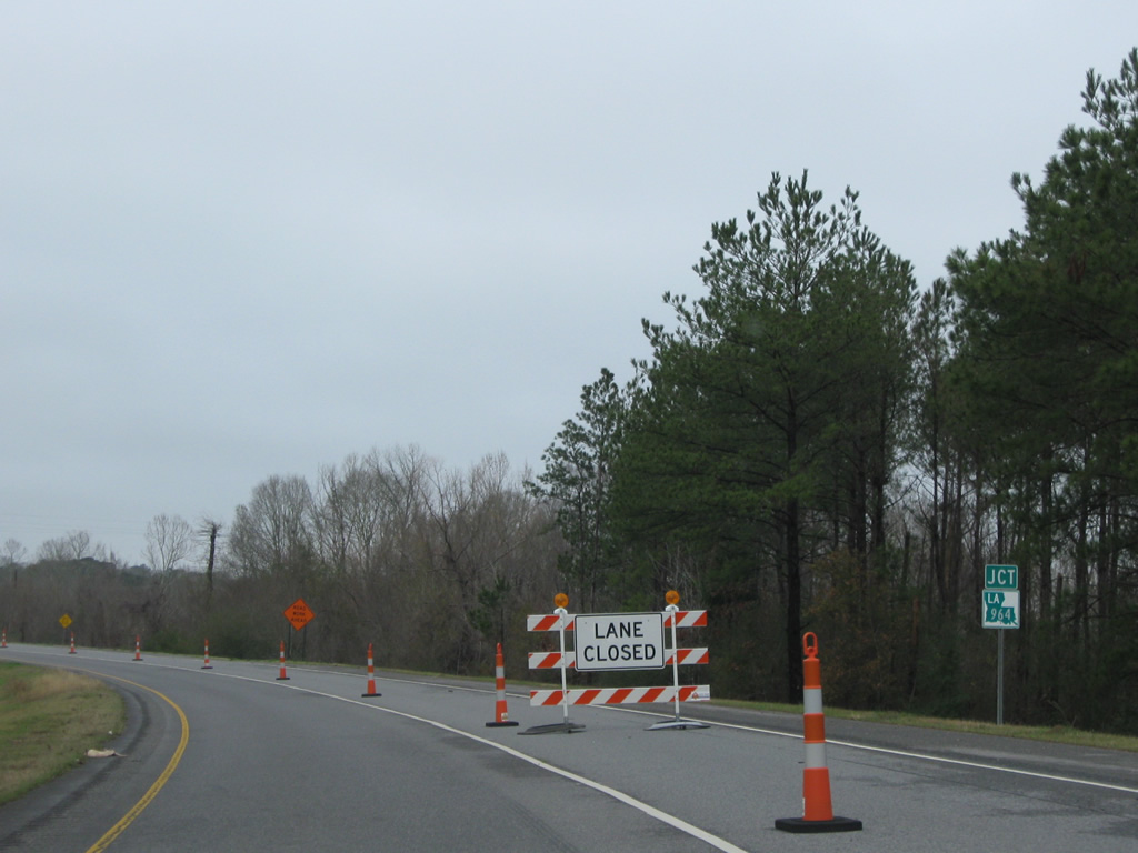
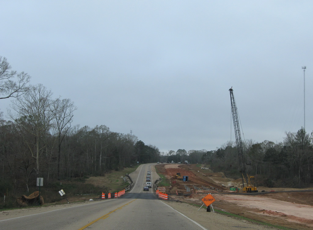
| Reconstruction of U.S. 61 was underway along much of the four lane stretch through West Feliciana Parish. This scene looks at Grand Bayou, just past the new intersection with LA 10 west to the 2011-opened John James Audubon Bridge to New Roads. 01/05/09 |
|
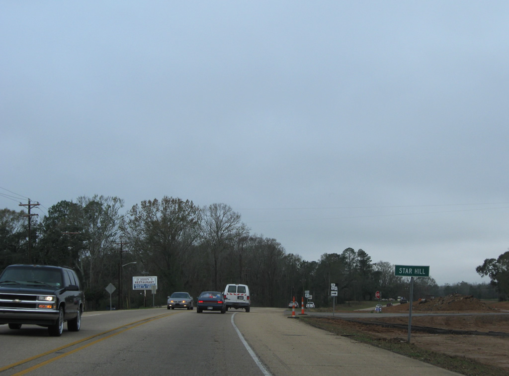
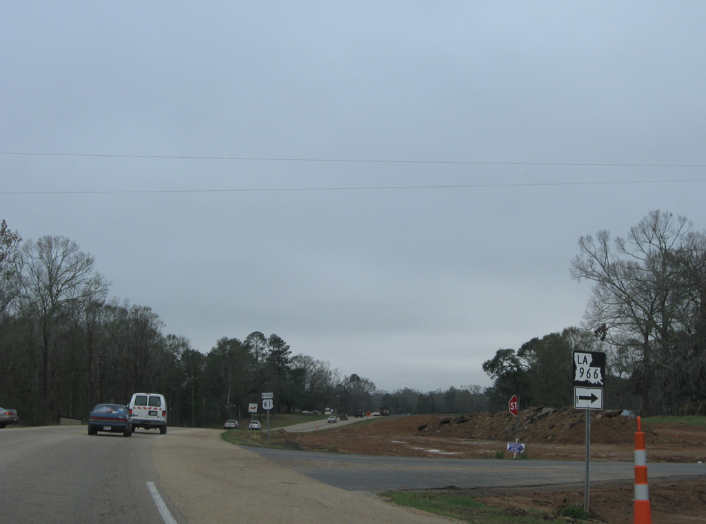
| U.S. 61 reaches Star Hill and the southwest end of LA 966. 01/05/09 |
|
| LA 966 constitutes a 6.7 mile loop east to Freeland and north to LA 965. 01/05/09 |
|
| Leaving Star Hill and LA 966, U.S. 61 doubles as Louisiana Scenic Byway. 01/05/09 |
|
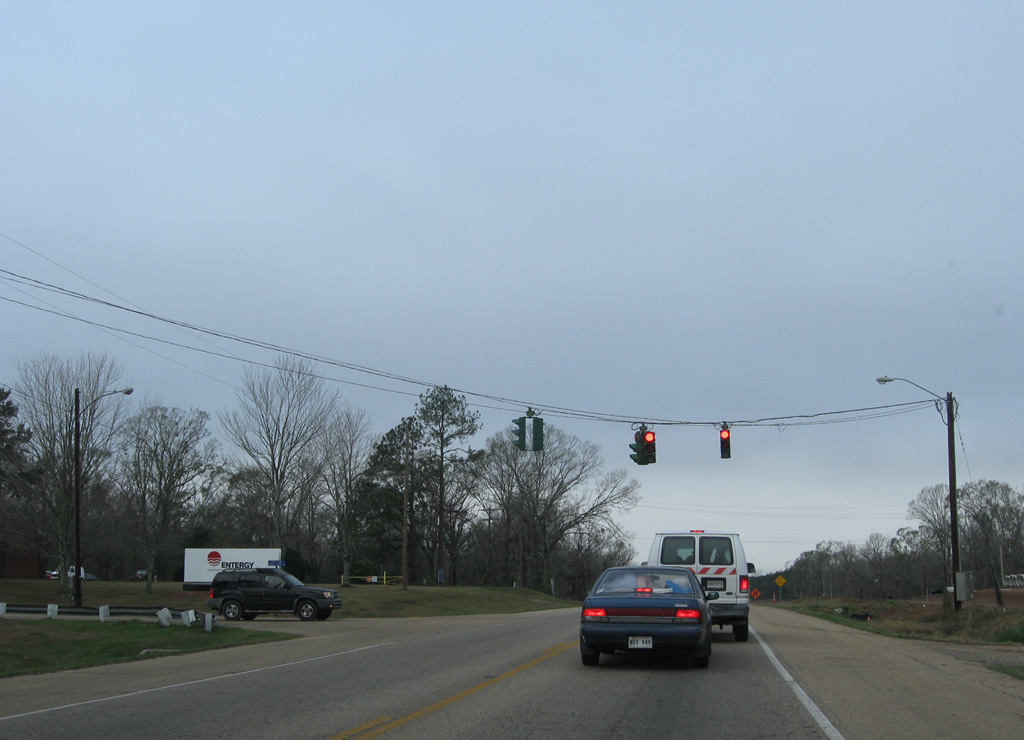
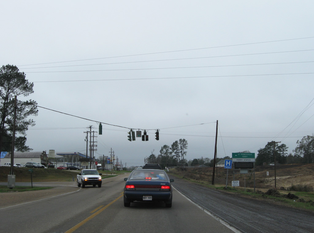
| U.S. 61 at the traffic light with the access road leading south to the River Bend Entergy plant. 01/05/09 |
|
| LA 965 travels 7.3 miles northeast from U.S. 61 to LA 10 near Jackson. 01/05/09 |
|
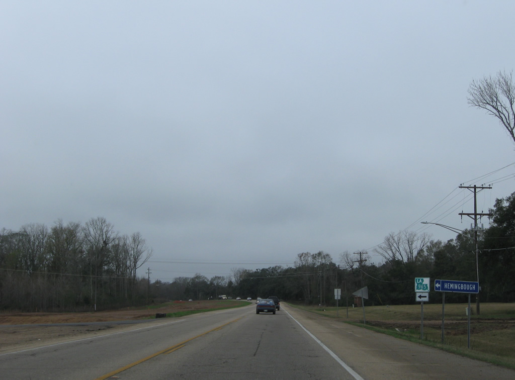
| LA 965 coincides with U.S. 61 north 0.2 miles before turning south to the Hemingbough cultural arts center, the River Bend Entergy Plant and Powell. 01/05/09 |
|
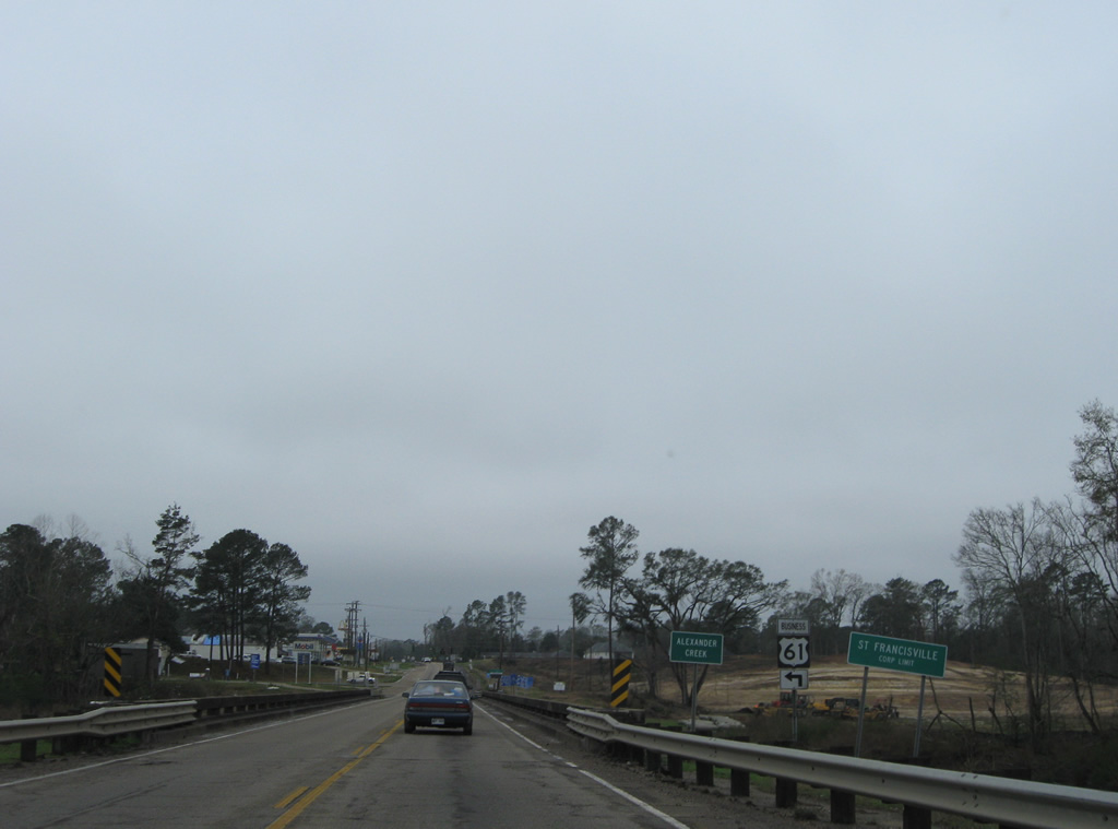
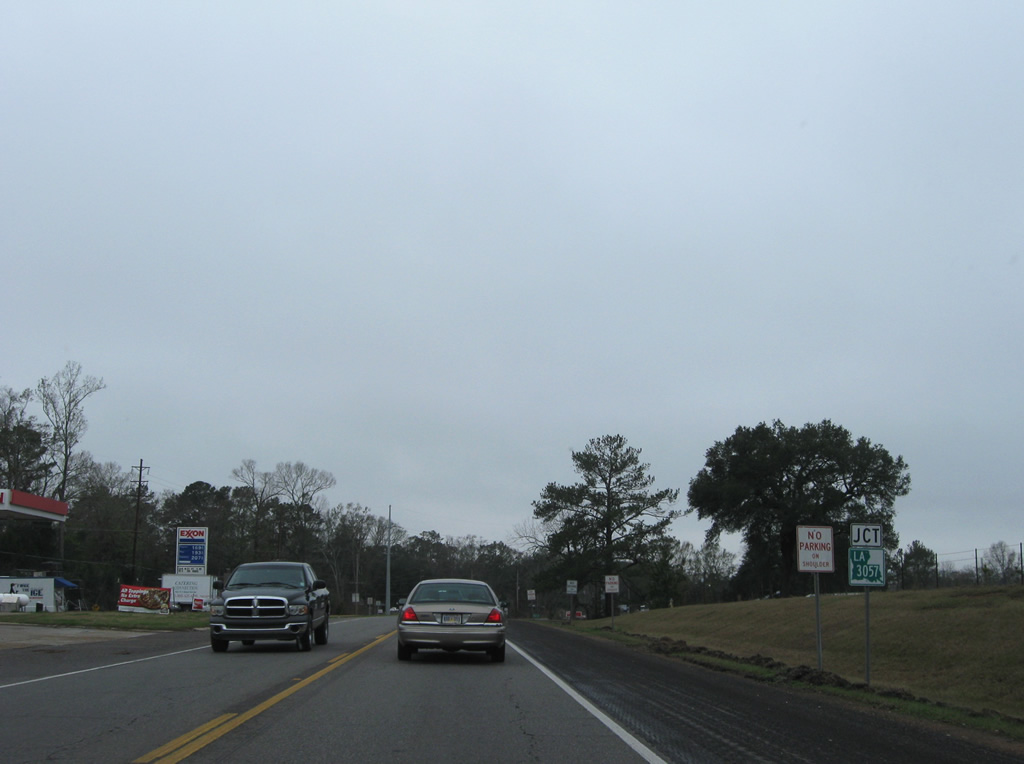
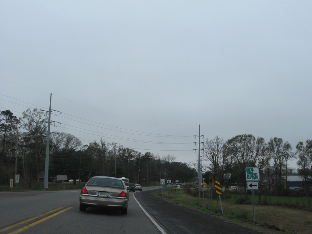
| Approaching the city limits of St. Francisville and LA 3057 (Commerce Street) on U.S. 61 north. 01/05/09 |
|
| Spanning Alexander Creek, U.S. 61 enters the West Feliciana Parish seat. Widening of the US route replaced this bridge with a four lane undivided span by 2011. Forthcoming LA 3057 doubles as U.S. 61 Business to downtown St. Francisville. 01/05/09 |
|
| LA 3057/U.S. 61 Business follow Commerce Street west to LA 1258, the former alignment of LA 10 to the discontinued New Roads-St. Francisville Ferry. 01/05/09 |
|
| The first four lane stretch of U.S. 61 at St. Francisville carried the route through the junction with LA 10 and U.S. 61 Business south. 01/05/09 |
|
| LA 10 originally traveled through St. Francisville to the ferry across the Mississippi River to New Roads. The May 5, 2011 opening of the James Audubon Bridge realigned the state highway to the south, leaving the former route between Bayou Sara and St. Francisville as LA 1263. 01/05/09 |
|
| An implied overlap with LA 10 from the new alignment near Star Hill concludes as the state highway rejoins its original alignment to Jackson, Clinton and Greensburg. 01/05/09 |
|
| Continuing north from LA 10 and St. Francisville, widening continued to Bains. 01/05/09 |
|
| LA 3057 (Commerce Street) returns to U.S. 61 on the north side of St. Francisville. 01/05/09 |
|
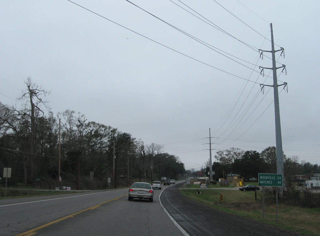
| Heading out from St. Francisville, U.S. 61 next meets Woodville, Mississippi in 24 miles. The control city of Natchez is an hour away. 01/05/09 |
|
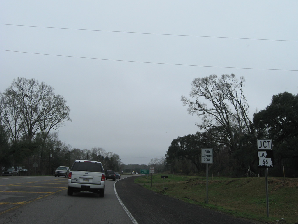
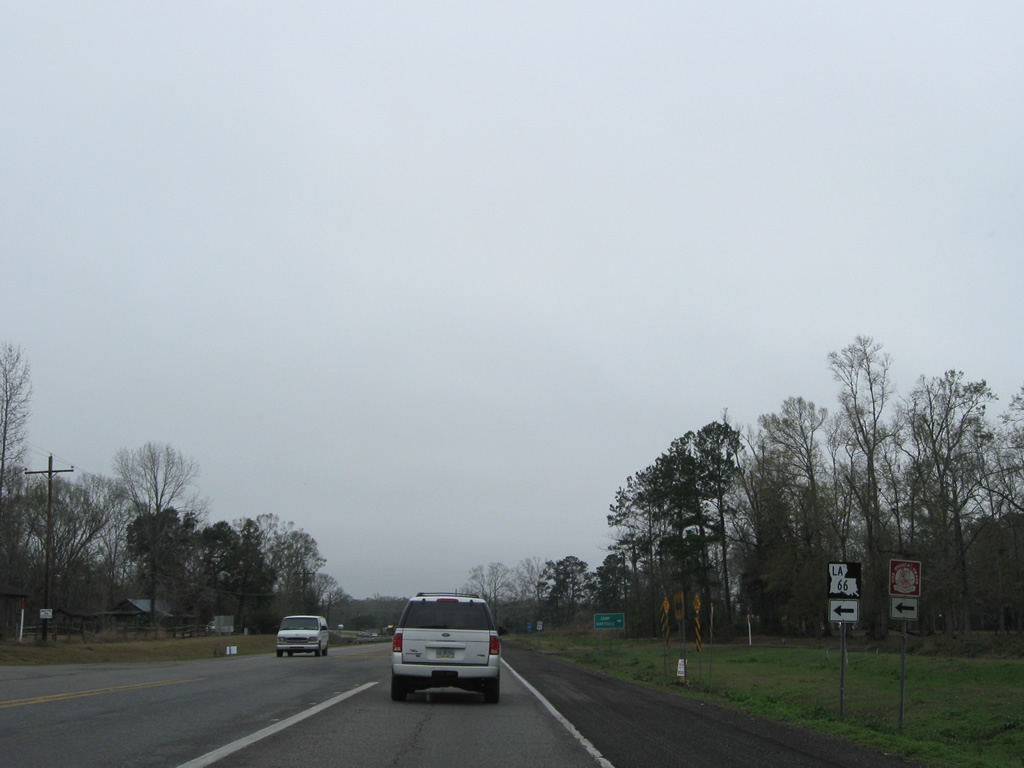
| U.S. 61 meets the south end of LA 66 at Bains. 01/05/09 |
|
| LA 66 stems 20 miles northwest from U.S. 61 to Flower Hill, Weyanoke, Tunica and an end at the Louisiana State Penitentiary gate at Angola. 01/05/09 |
|
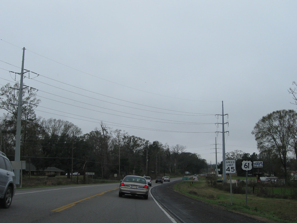
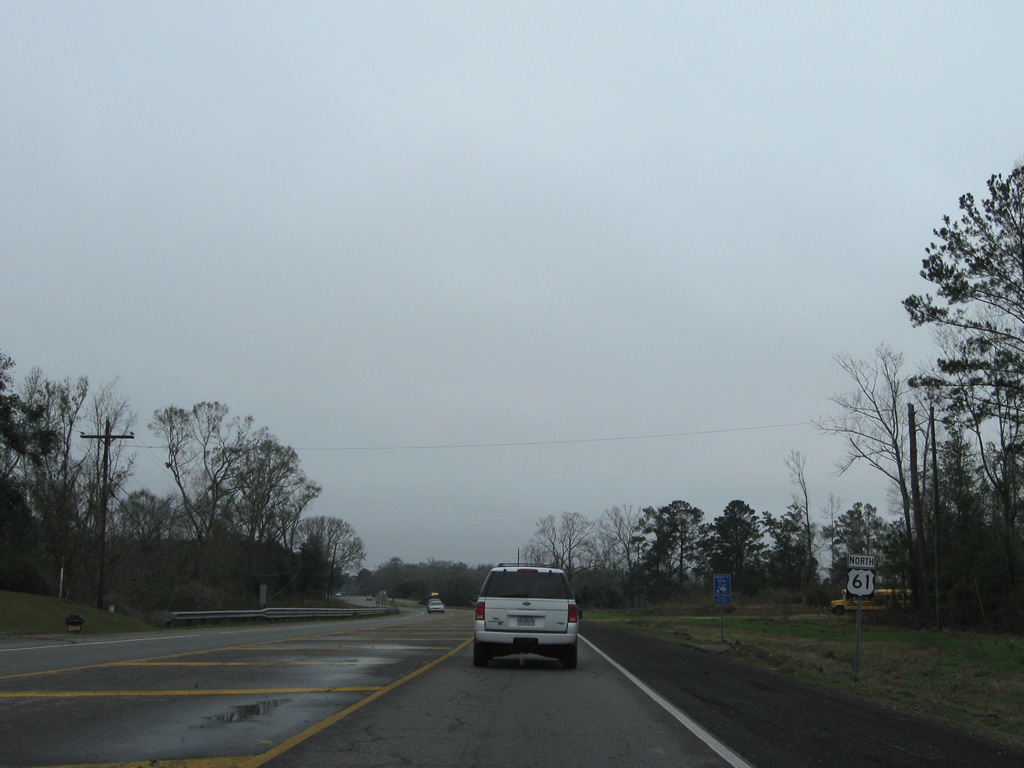
| U.S. 61 expanded into a divided highway north from LA 66 to Natchez, Mississippi. Now the entire drive between Baton Rouge and Mississippi carries four overall lanes. 01/05/09 |
|
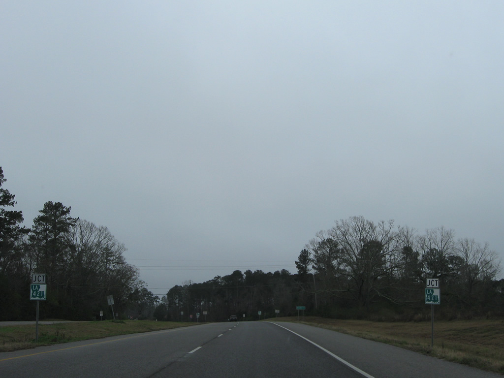
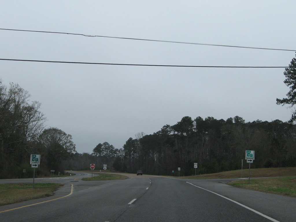
| LA 421 meets U.S. 61 at Wakefield. 01/05/09 |
|
| A 15.72 mile loop. LA 421 ventures northeast to Alice and Spillman, meeting LA 967 before turning south through Rogillioville to LA 10 outside Jackson. 01/05/09 |
|
| The final eight miles of U.S. 61 in Louisiana travel through mostly undeveloped forest land and meadows. Old alignments of U.S. 61 loop through Laurel Hill and west near Lake Rosemound along the stretch. 01/05/09 |
|
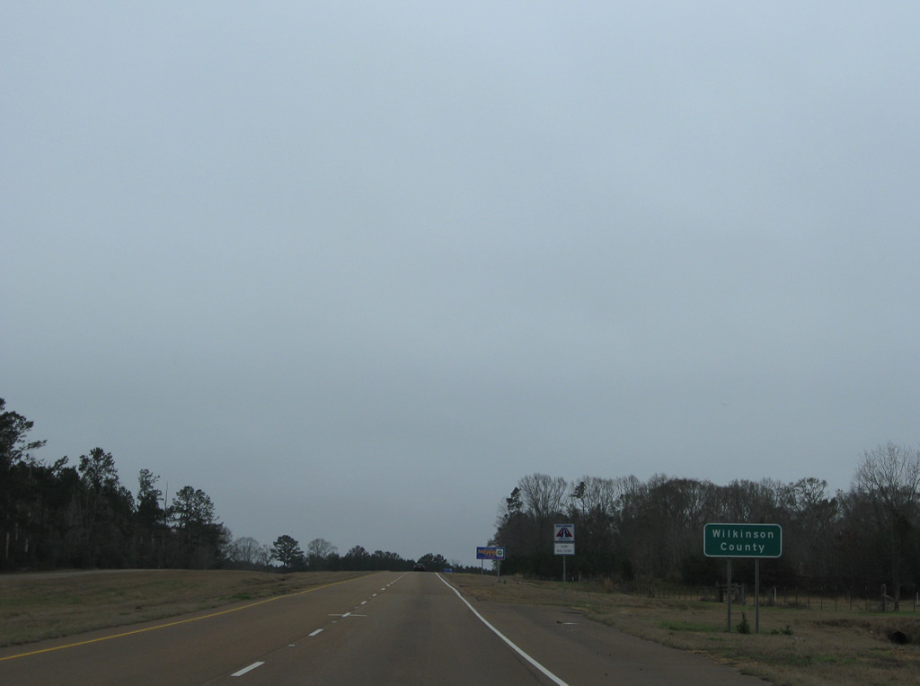
| U.S. 61 enters Wilkinson County, Mississippi eight miles south of Woodville. 01/05/09 |
Page Updated 10-04-2012.

 North
North