|
| U.S. 61 leaves the Quad Cities freeway system for an expressway leading west to Blue Grass. 12/31/14 |
|
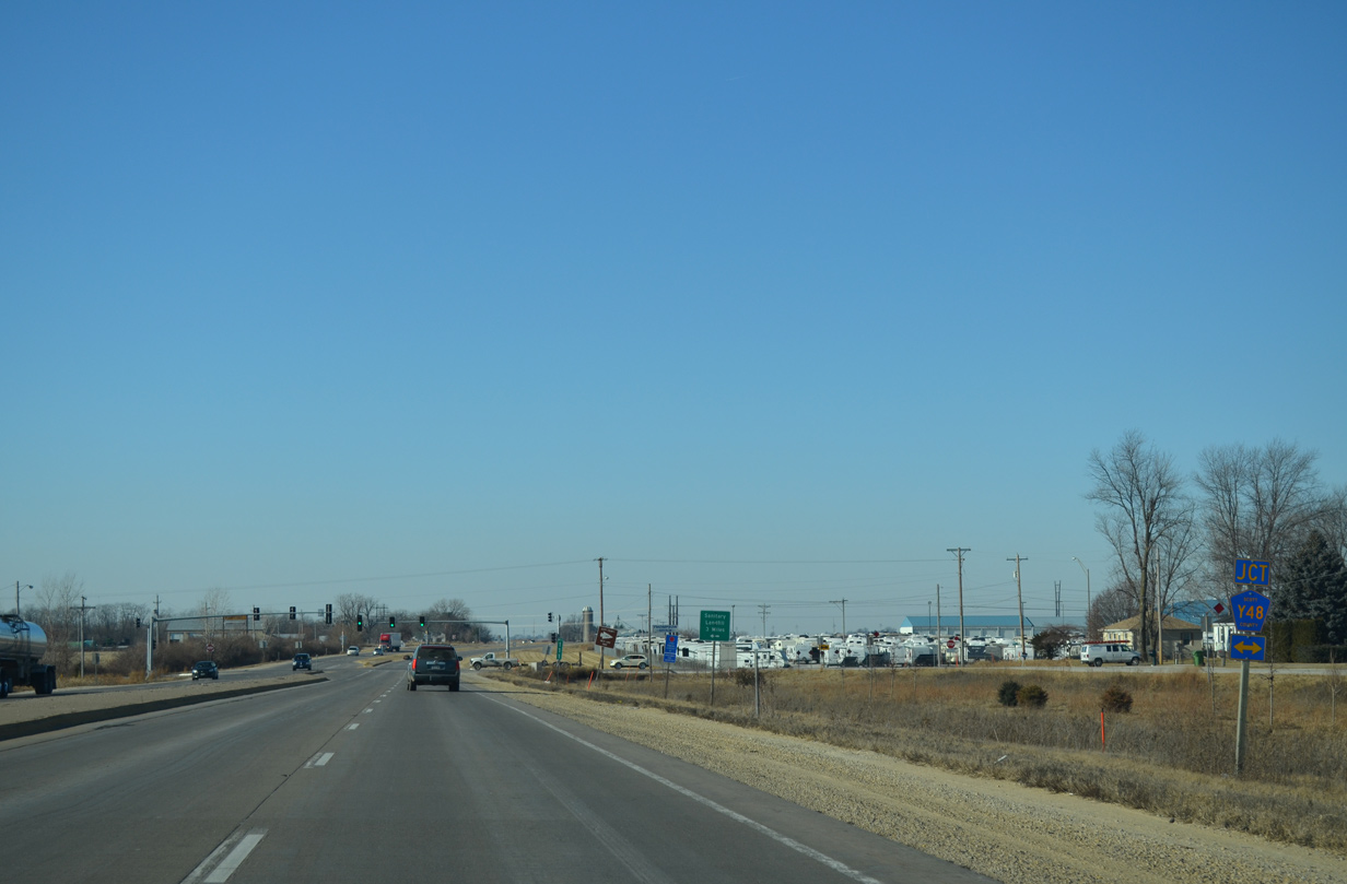
| A frontage road lines the north side of U.S. 61 to Scott County Y48. 12/31/14 |
|
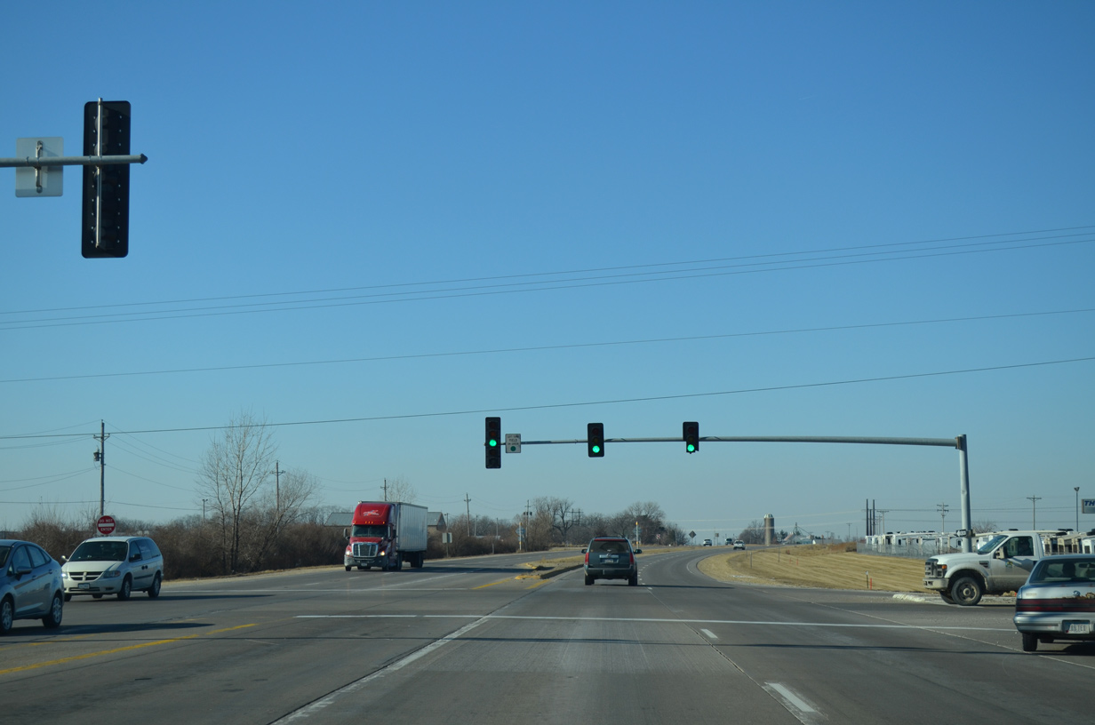
| County Road Y48 (110th Avenue) leads north to West Lake Park and south to the county landfill and Iowa 22 near Linwood. 12/31/14 |
|
| U.S. 61 kinks northward to overtake its original two lane alignment west of County Road Y48. 12/31/14 |
|
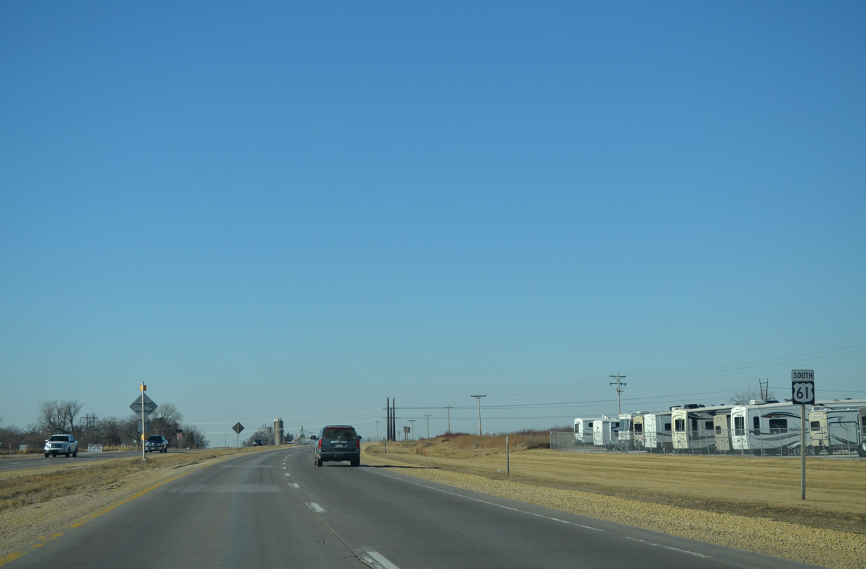
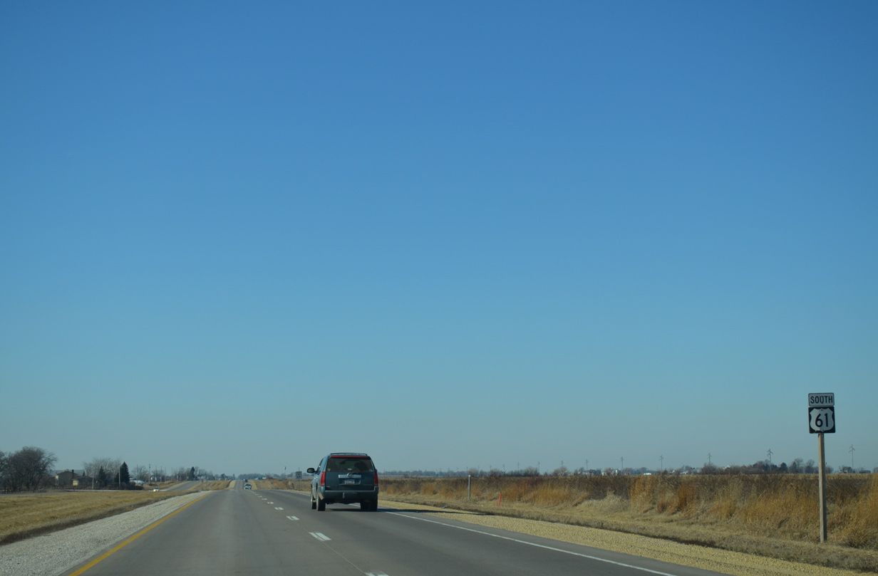
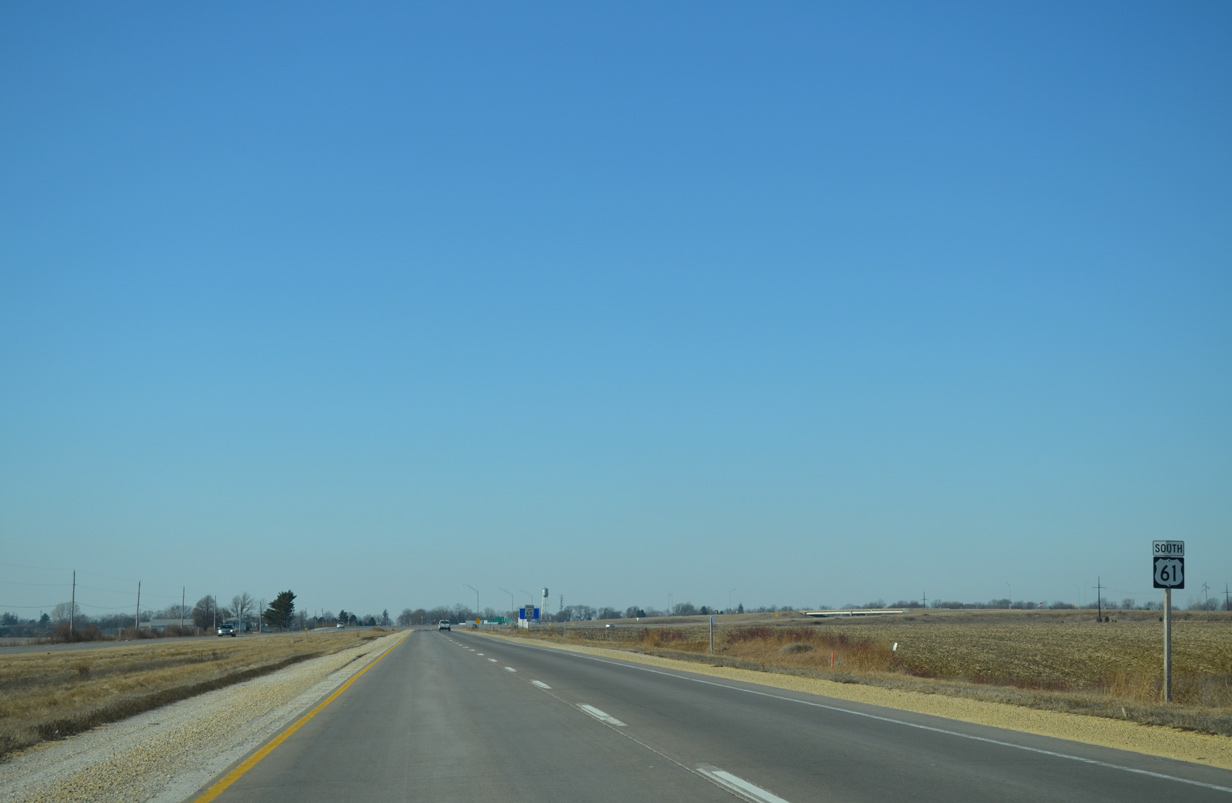
| Open farm land spreads both north and south of the U.S. 61 expressway in this scene west of 100th Avenue. 12/31/14 |
|
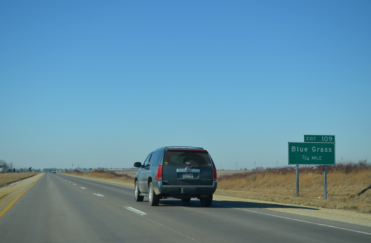
| A freeway bypass takes U.S. 61 north around the Blue Grass city center. 12/31/14 |
|
| The 3 mile Blue Grass bypass opened to traffic on May 1, 2001, completing the four-laning of U.S. 61 between Davenport and Muscatine.1 12/31/14 |
|
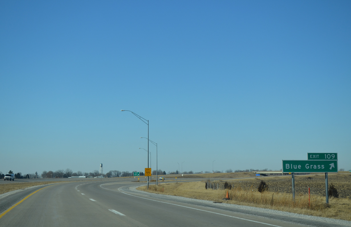
| Exit 109 consists of a diamond interchange with the former U.S. 61 (Mayne Street) leading west into the Blue Grass street grid. 77th Avenue ties in from parallel 145th Street to the north. 12/31/14 |
|
| U.S. 61 swings northwest across the former path of Lauretta Street to pass under Mississippi Street / County Road Y40. 12/31/14 |
|
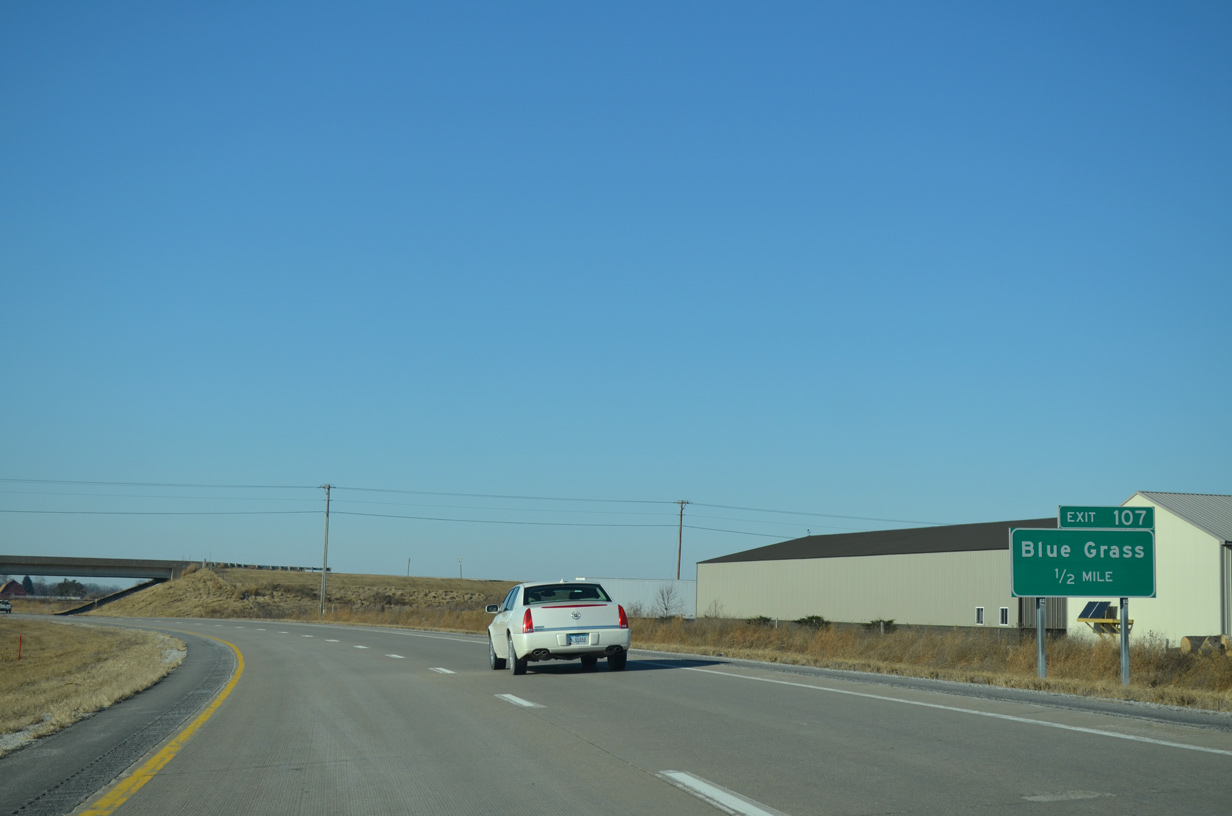
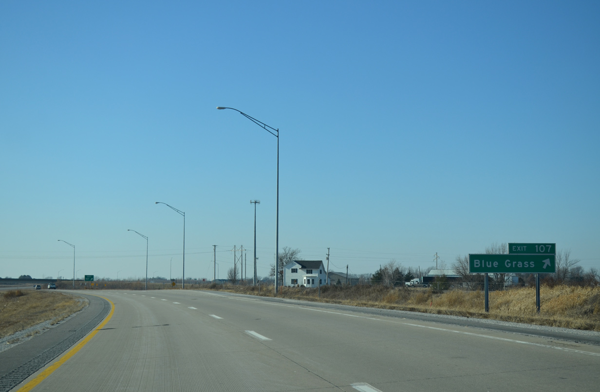
| Exit 107 follows as a diamond interchange with Oak Lane. 12/31/14 |
|
| Oak Lane connects U.S. 61 with 145th Street to the north and 140th Street / Mayne Street (old U.S. 61) to the south. Lauretta Street ties in nearby, having been realigned from its original continuation to 145th Street. 12/31/14 |
|
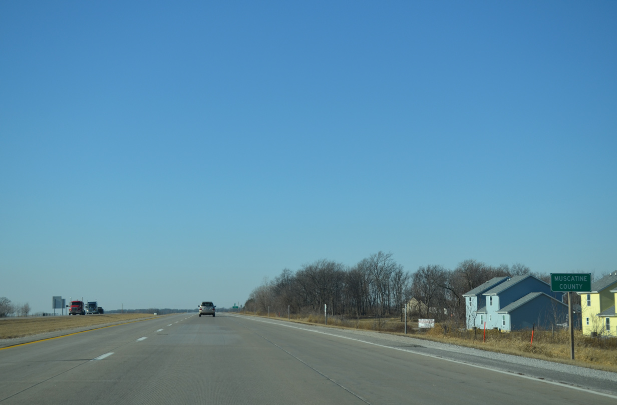
| Resuming a westward heading, U.S. 61 crosses the Muscatine County line just west of Exit 107. 12/31/14 |
|
| Muscatine County Y36 (Zachary Avenue) stems south from U.S. 61 to Iowa 22 at Montpelier. 12/31/14 |
|
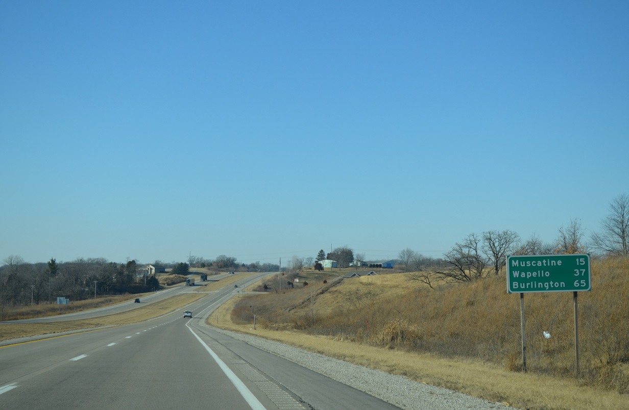
| U.S. 61 continues west 15 miles to the city of Muscatine, where the route turns southward to Wapello and Burlington. 12/31/14 |
|
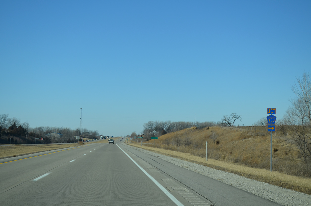
| County Road Y30 (Western Avenue) follows and heads north six miles to the small city of Stockton. 12/31/14 |
|
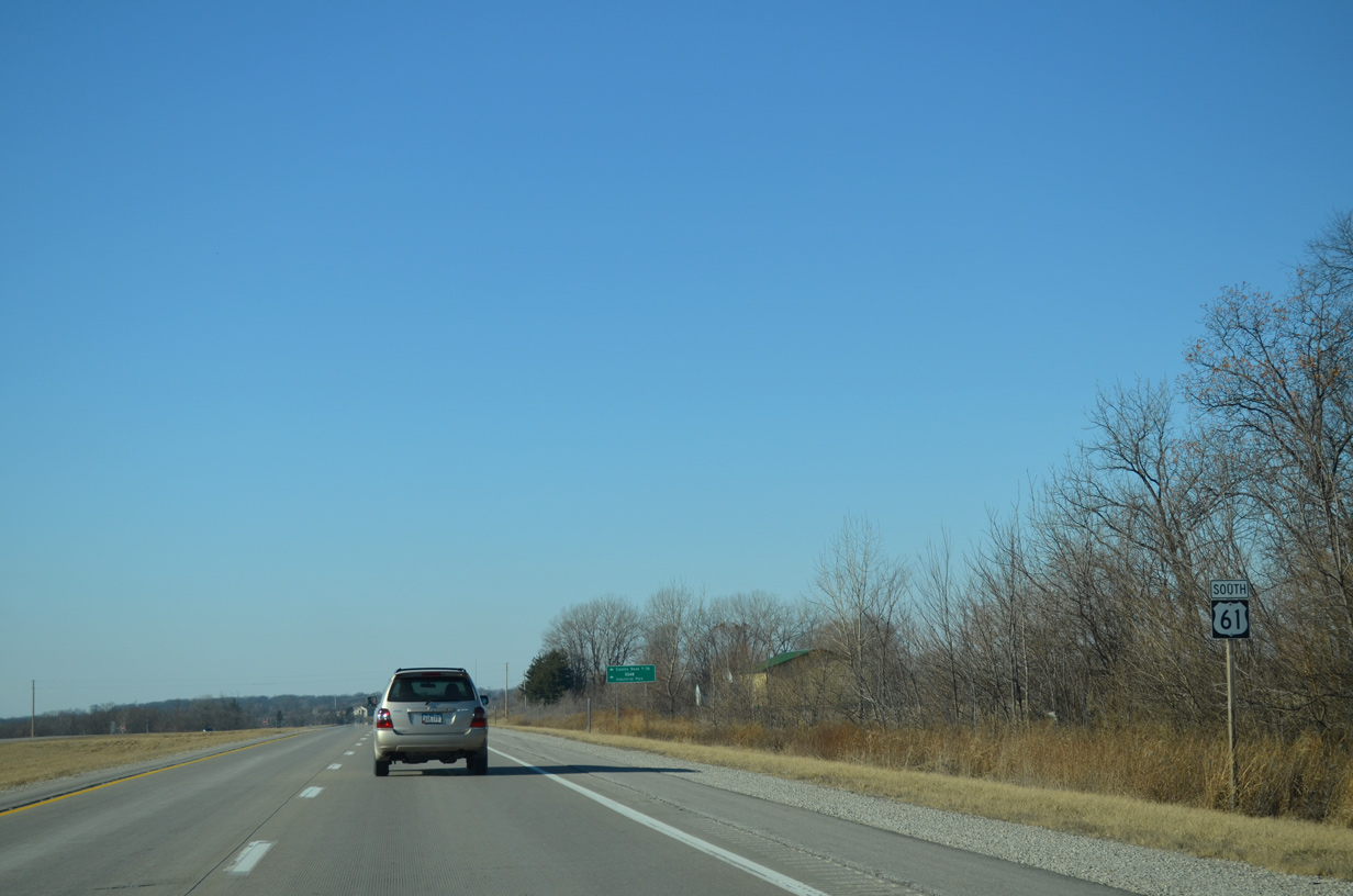
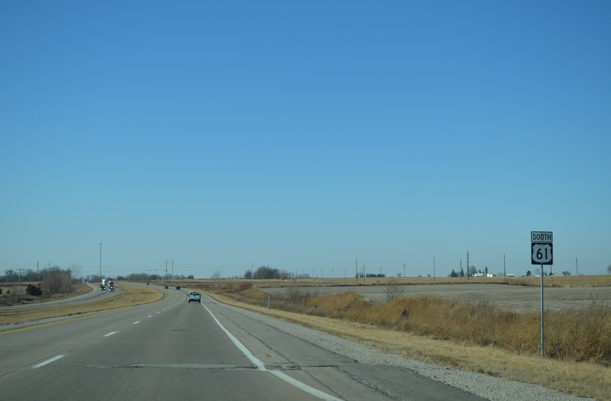
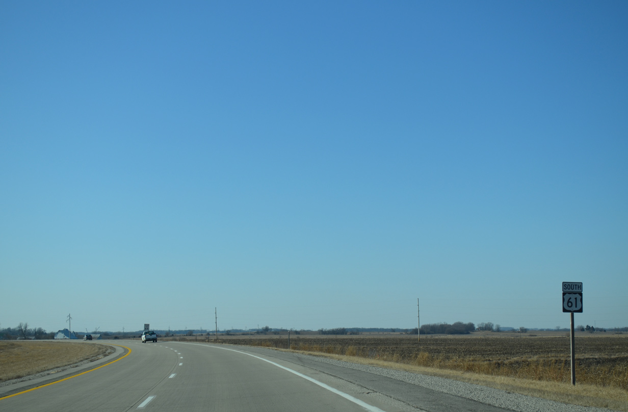
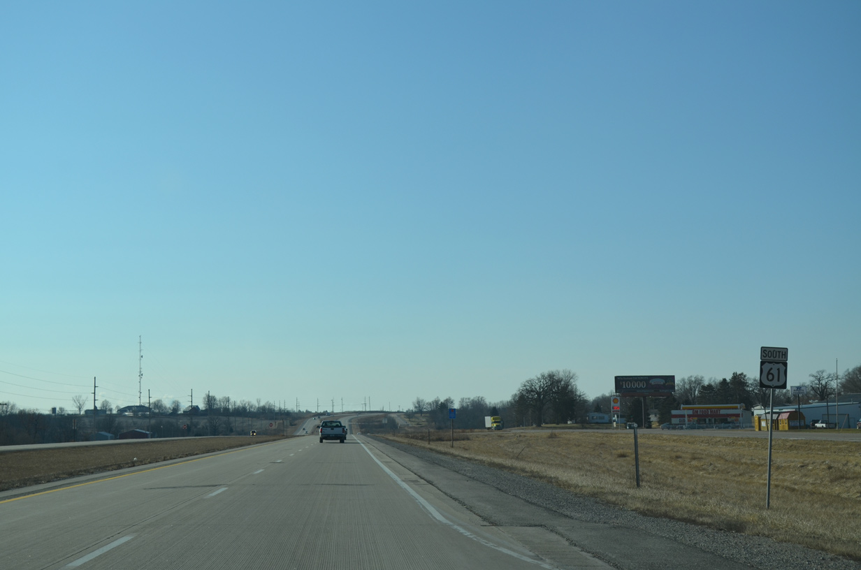
| Speed limits are posted at 65 miles per hour along the U.S. 61 expressway leading away from the Quad Cities. 12/31/14 |
|
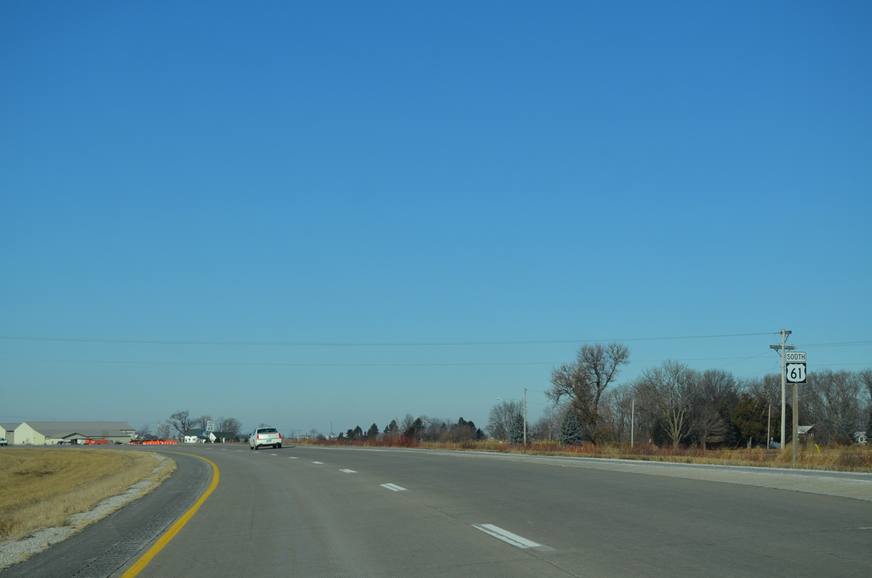
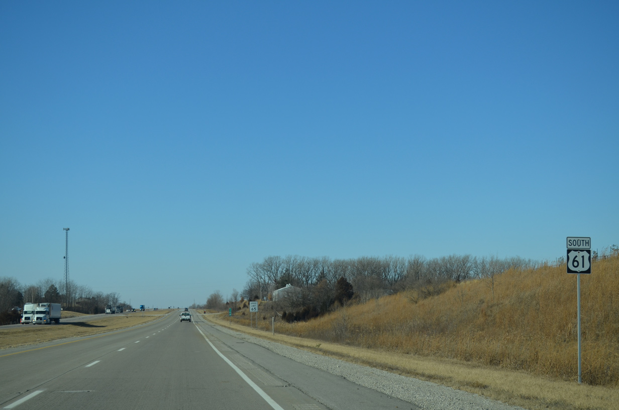
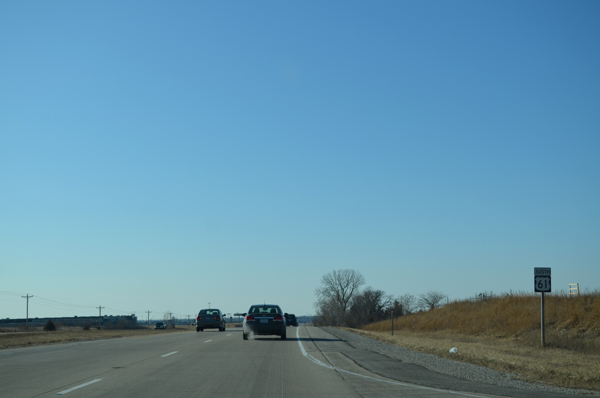
| Ward Avenue angles northwest to end at U.S. 61 just ahead of this reassurance marker. 12/31/14 |
|
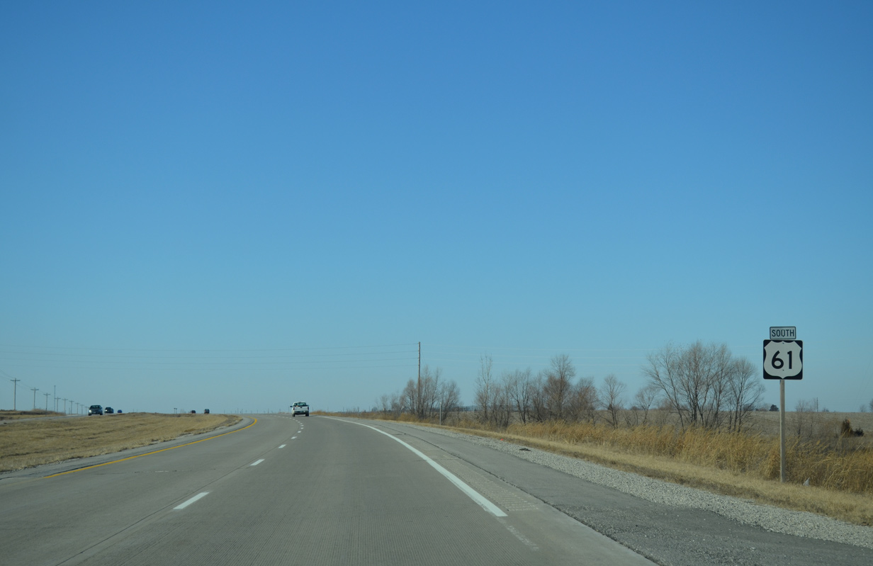
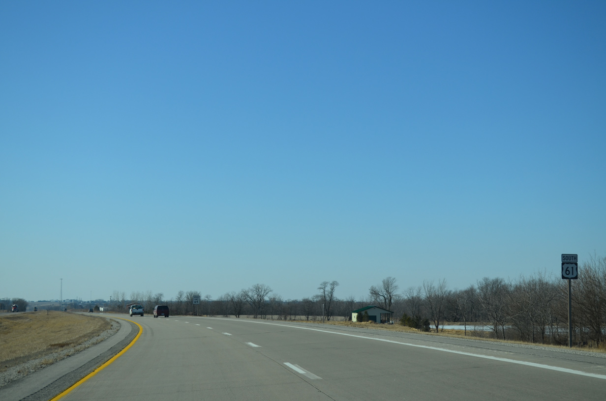
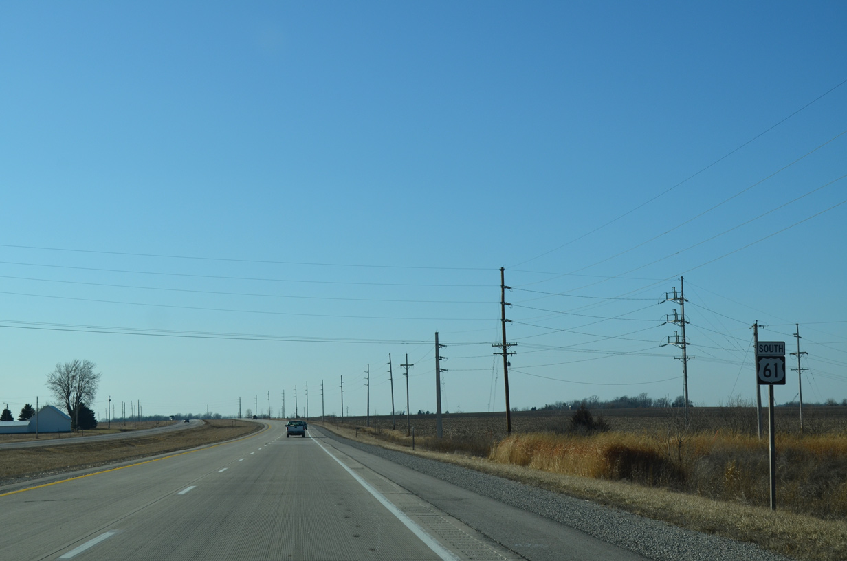
| U.S. 61 southbound near the settlement of Pleasant Prairie. 12/31/14 |
|
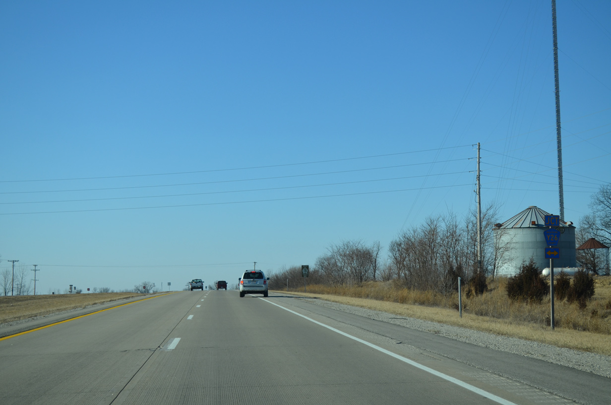
| County Road Y26 (Vail Avenue) crosses paths with U.S. 61 north of Wild Cat Den State Park and south of Durant. 12/31/14 |
|
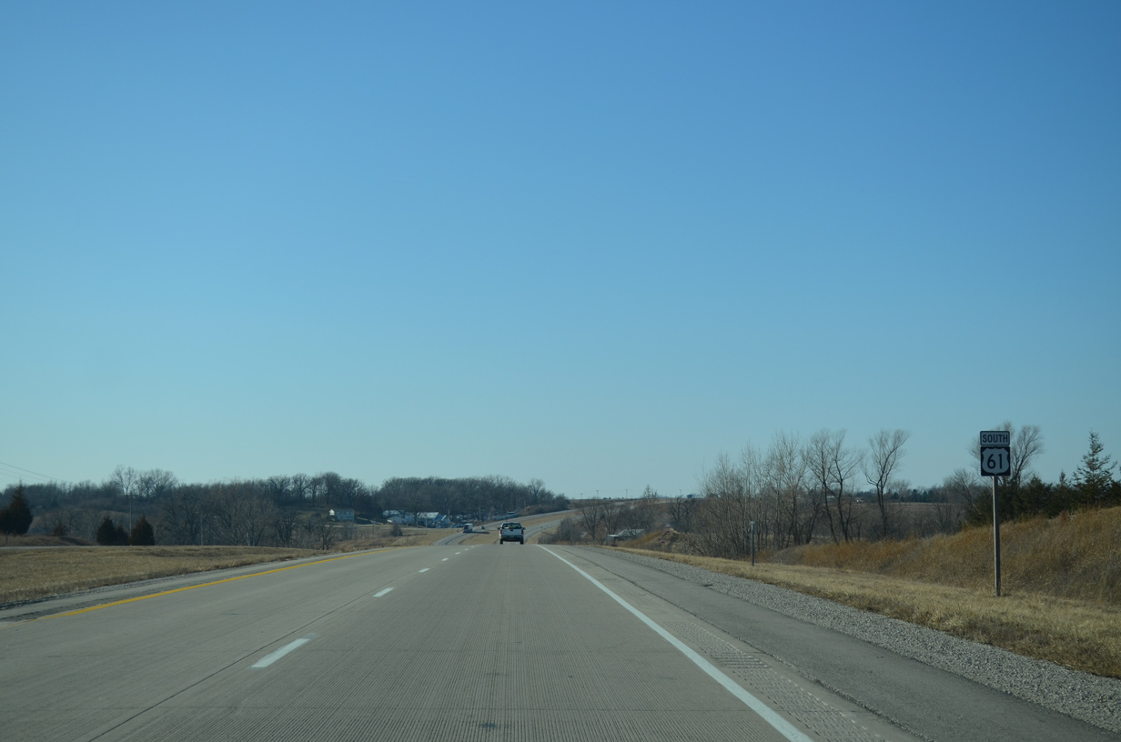
| U.S. 61 curves southwestward from CR Y26 ahead of Melpine. 12/31/14 |
|
| Advancing westward along U.S. 61 at Underwood Avenue. The expressway spans Pine Creek nearby. 12/31/14 |
|
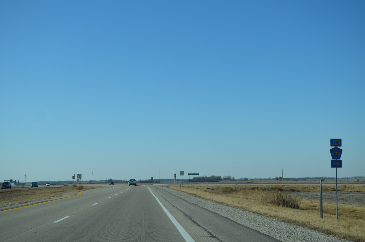
| Muscatine County F70 lines Sweetland Road north from U.S. 61 to 155th Street west. 12/31/14 |
|
| U.S. 61 turns more southerly on the bypass of Sweetland Center. 12/31/14 |
|
| 170th Street west from Sweetland Center becomes Thayer Avenue north at U.S. 61. 12/31/14 |
|
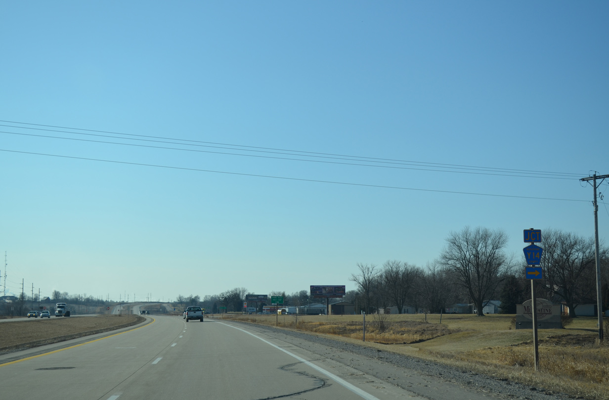
| County Road Y14 follows Taylor Avenue north to Historic U.S. 6 outside the city of Wilton. 12/31/14 |
|
| A southbound side frontage road services an adjacent mobile home park as the original two lane alignment of U.S. 61 from CR Y14. 12/31/14 |
|
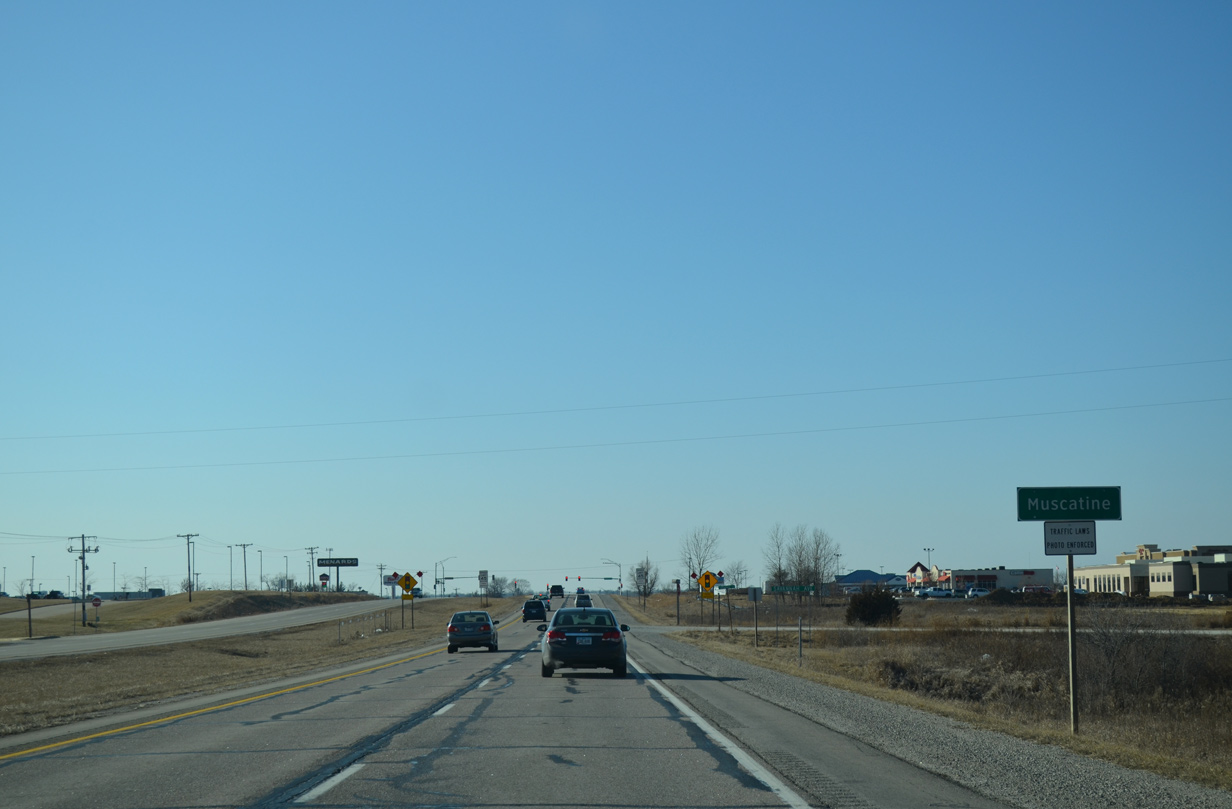
| Approaching the outskirts of Muscatine along U.S. 61 south at New Era Road east. 12/31/14 |
|
| Several big box stores and other businesses line U.S. 61 as the expressway transitions into a commercial arterial beyond the Muscatine city line. 12/31/14 |
|
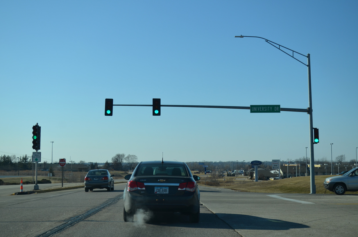
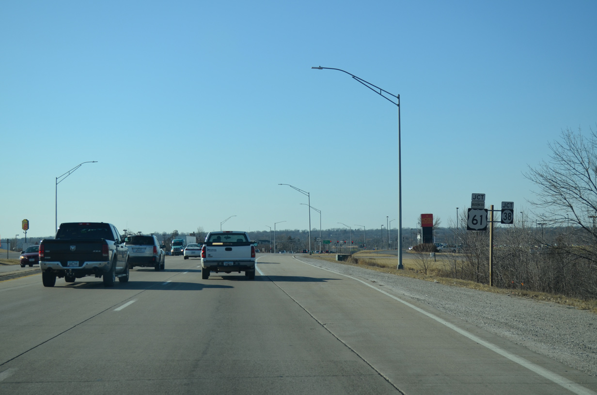
| University Drive straddles the east side of Muscatine to Iowa 22 near Weed Park. 12/31/14 |
|
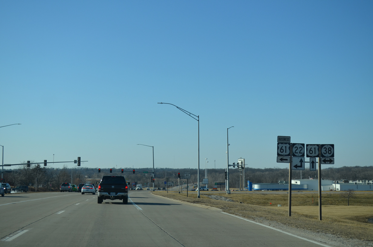
| Iowa 38 travels south from U.S. 6 near Wilton to combine with U.S. 61 Business south along Park Avenue toward Downtown Muscatine. 12/31/14 |
|
| U.S. 61 shifted away from Downtown Muscatine onto a four lane bypass in December 1984.2 The business route follows a combination of Park Avenue, 2nd Street, Mississippi Drive and Grandview Avenue. 12/31/14 |
|
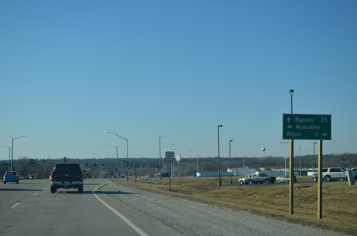
| Wilton lies 11 miles to the north along Historic U.S. 6, east of U.S. 6 and Iowa 38, which travel north to Interstate 80. 12/31/14 |
|
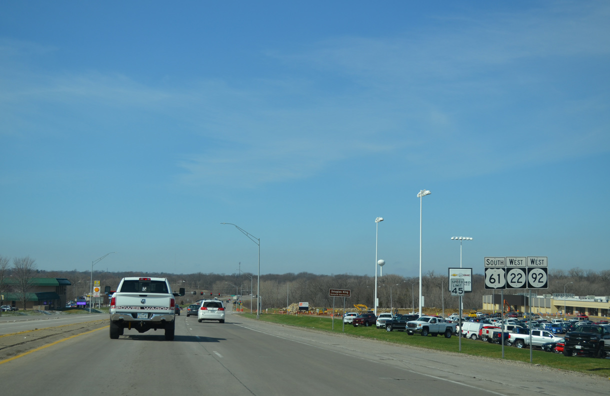
| Iowa 38 and U.S. 61 Business combine with Iowa 22 east to Washington Street. Iowa 38 ends at Iowa 92, which spans the Mississippi River across the Norbert F. Beckey Bridge. 12/31/14 |
|
| Iowa 92 was relocated from an alignment along Mississippi Drive and Grandview Avenue southwest from Downtown Muscatine onto an overlap with U.S. 61 in September 2014.2 The result is a three-way overlap with Iowa 22 west to Cedar Street. 03/25/16 |
|
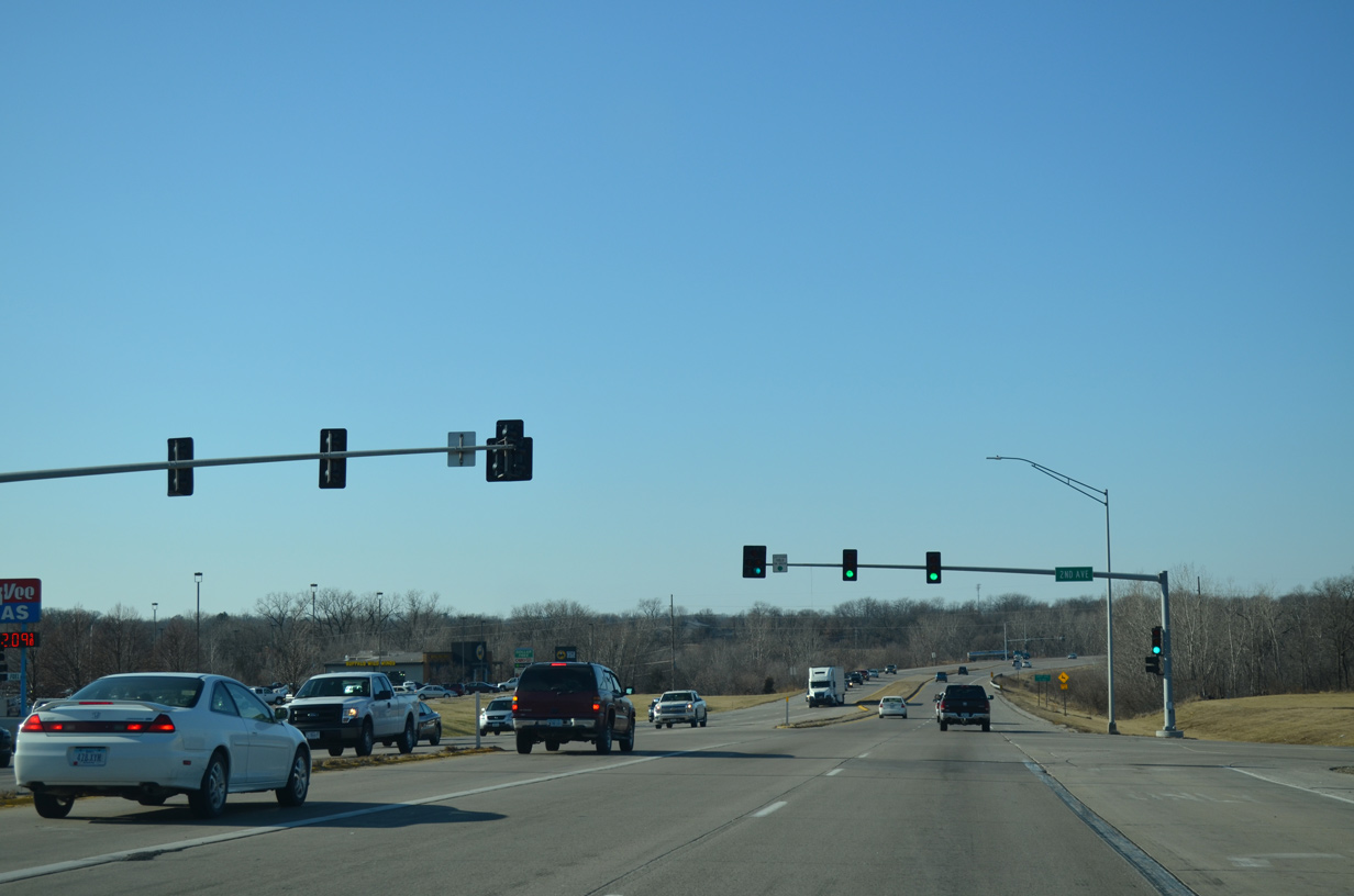
| 2nd Avenue ties into U.S. 61/Iowa 22-92 opposite a shopping center from additional retail to the south. 12/31/14 |
|
| U.S. 61/Iowa 22-92 west next span Mad Creek. 12/31/14 |
|
| Isett Avenue winds southward to the Heinz Muscatine plant and Muscatine street grid at Cypress and 11th Streets. 12/31/14 |
|
| The controlled access expressway progresses west from Isett Avenue along the north side of Muscatine. 12/31/14 |
|
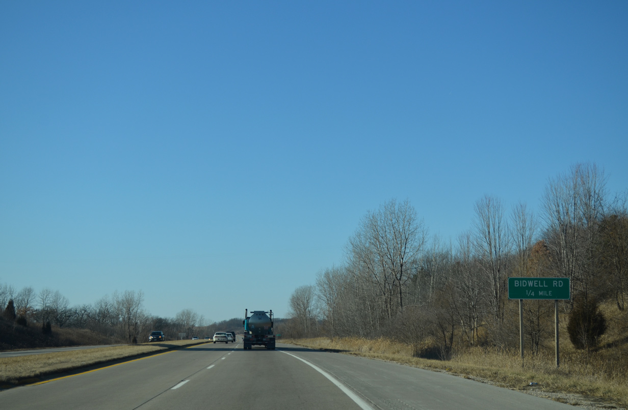
| Bidwell Avenue angles northwest from Isett Avenue to intersect U.S. 61/Iowa 22-92 at-grade opposite of Canterbury Road. 12/31/14 |
|
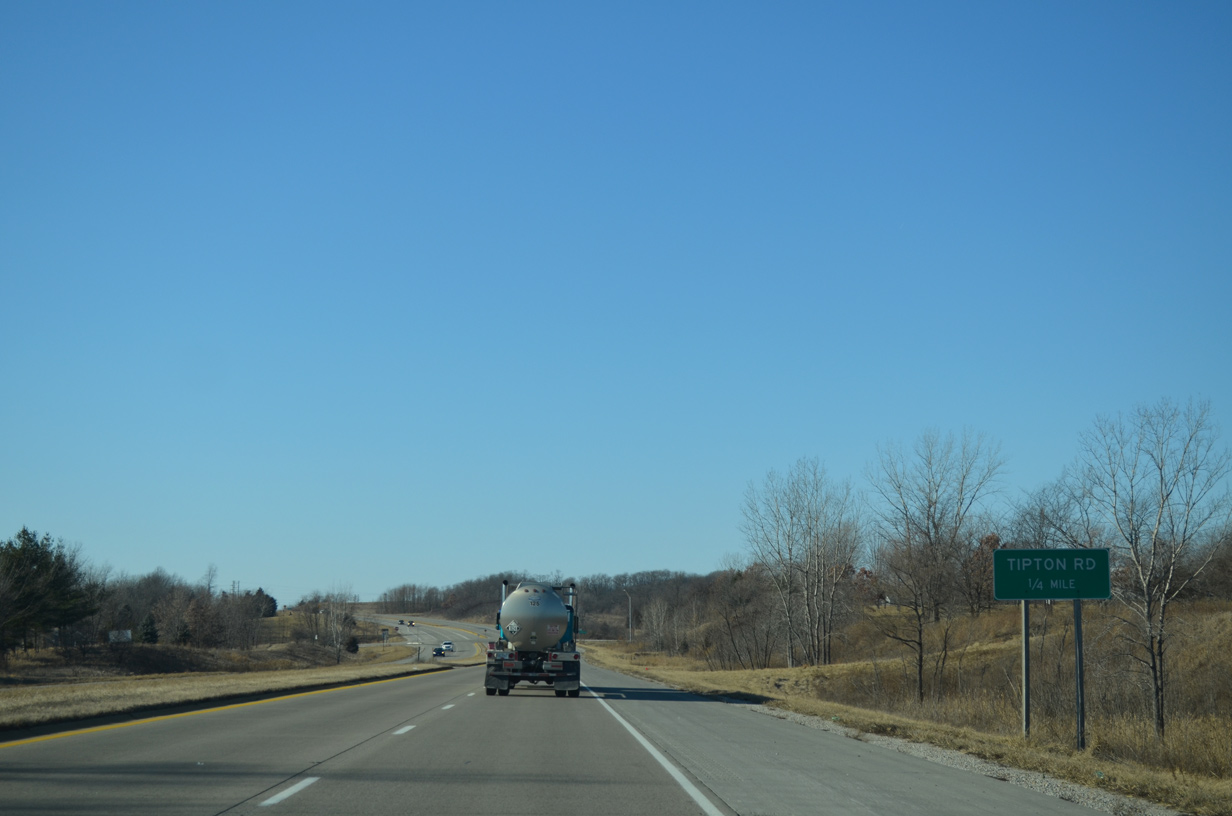
| Tipton Road stems north from Mulberry Avenue to intersect the Muscatine bypass at the ensuing intersection. 12/31/14 |
|
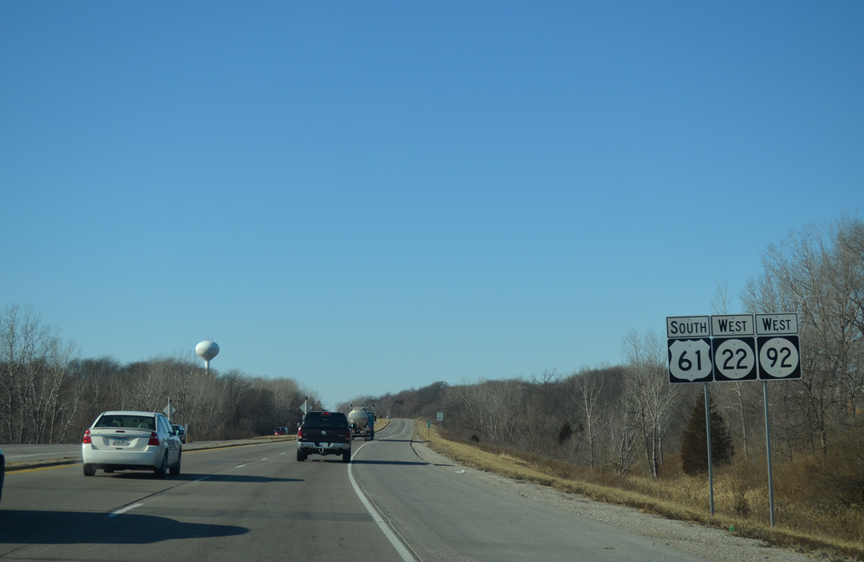
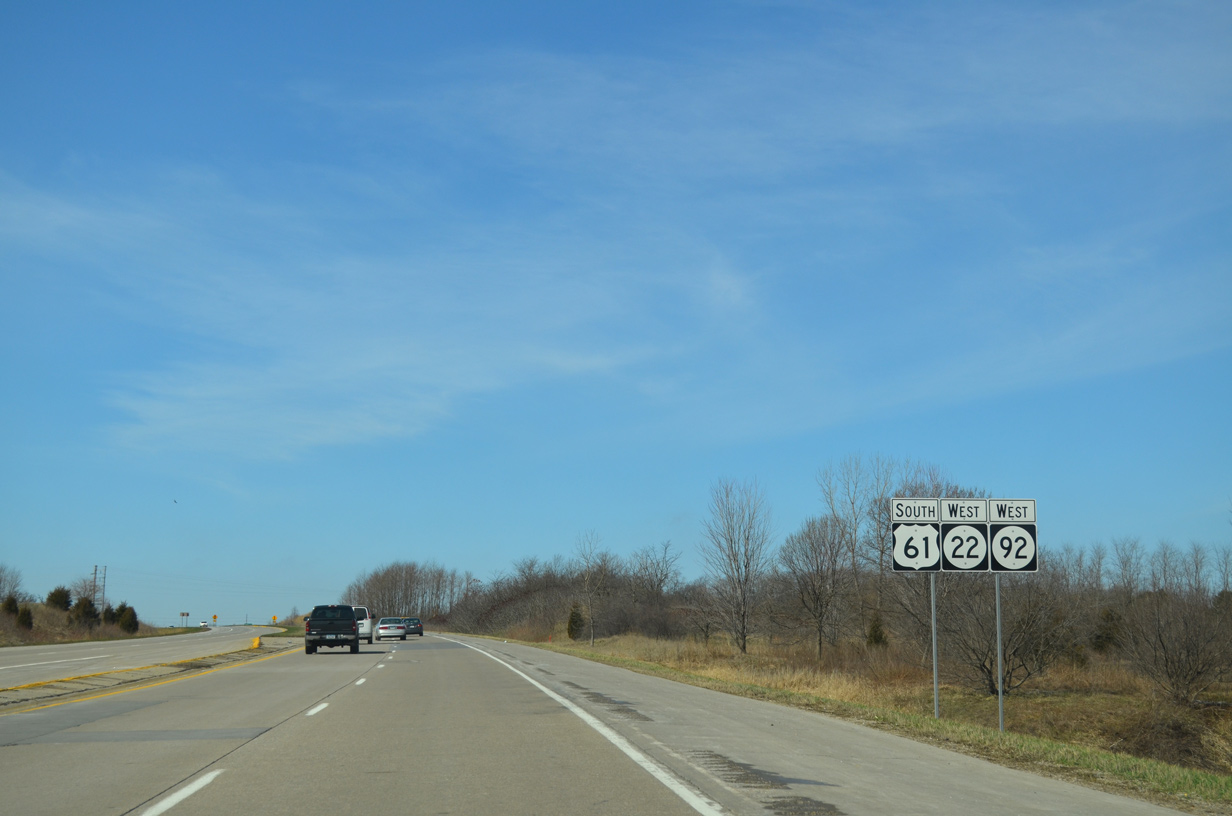
| Shield assembly for U.S. 61 south and Iowa 22/92 west posted after Tipton Road. 03/25/16 |
|
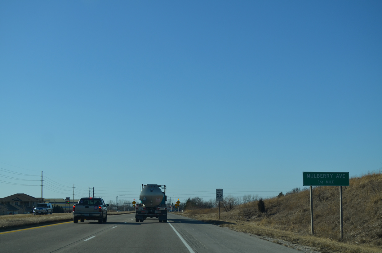
| Mulberry Avenue heads northwest from Downtown Muscatine to meet U.S. 61/Iowa 22-92 at a suburban junction in one quarter mile. 12/31/14 |
|
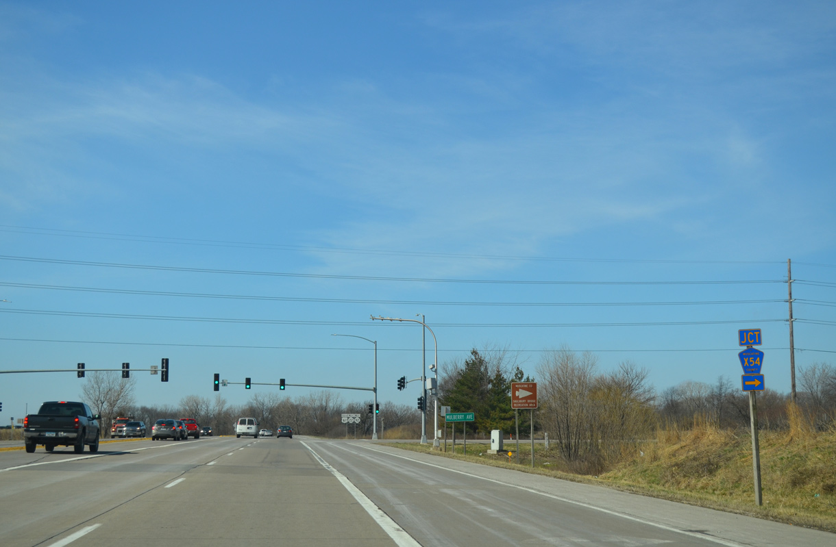
| CR X54 lines Mulberry Road north from U.S. 61/Iowa 22-92 to 152nd Street. The county road eventually reaches the community of Moscow beyond U.S. 6. 03/25/16 |
|
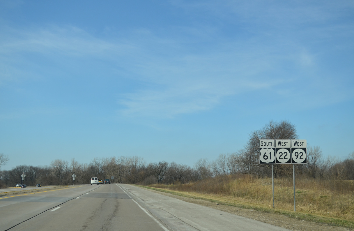
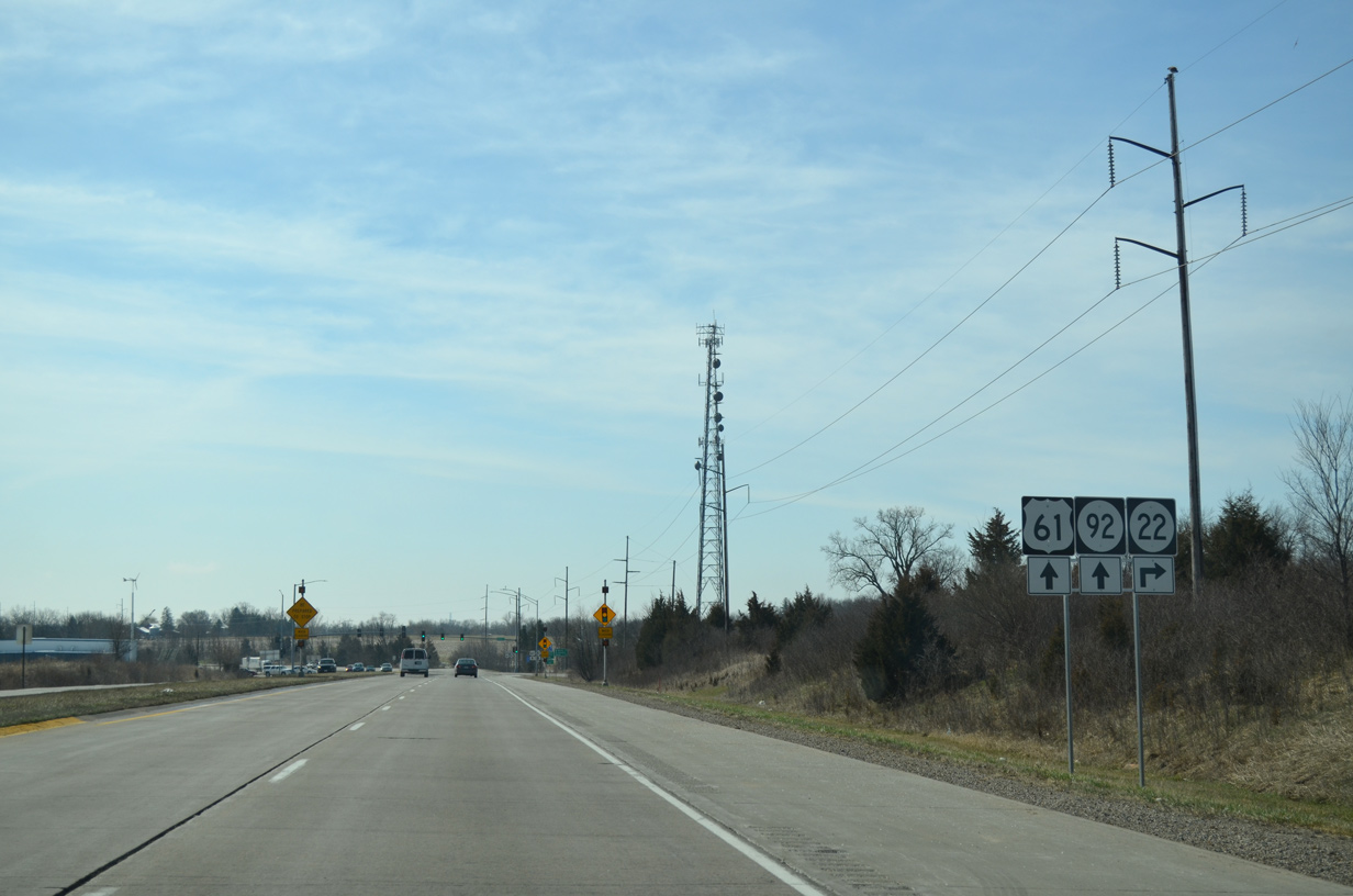
| U.S. 61 and Iowa 22-92 turn southward along the west side of Muscatine from CR X54. 03/25/16 |
|
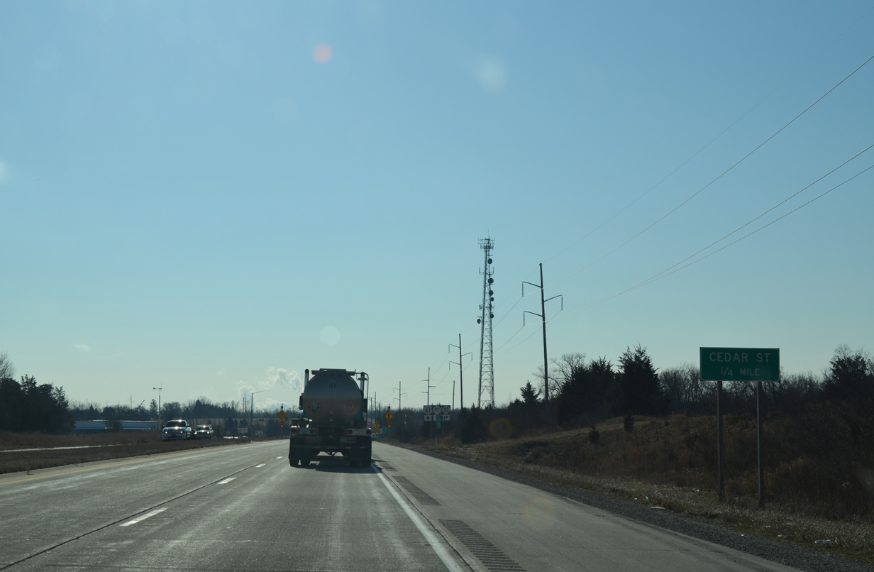
| Forthcoming Cedar Street east toward Downtown Muscatine was the alignment of Iowa 22 until 1986.3 12/31/14 |
|
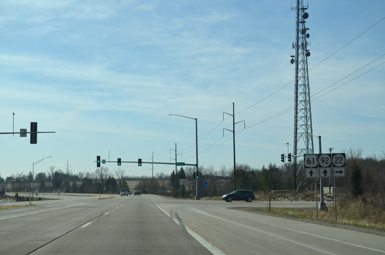
| Iowa 22 branches west from U.S. 61 south and Iowa 92 west 13 miles to Nichols. 03/25/16 |
|
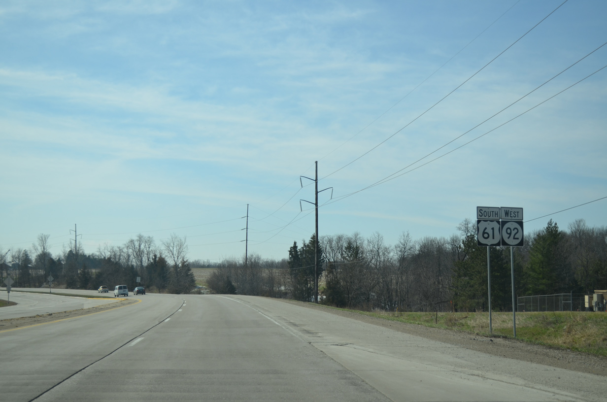
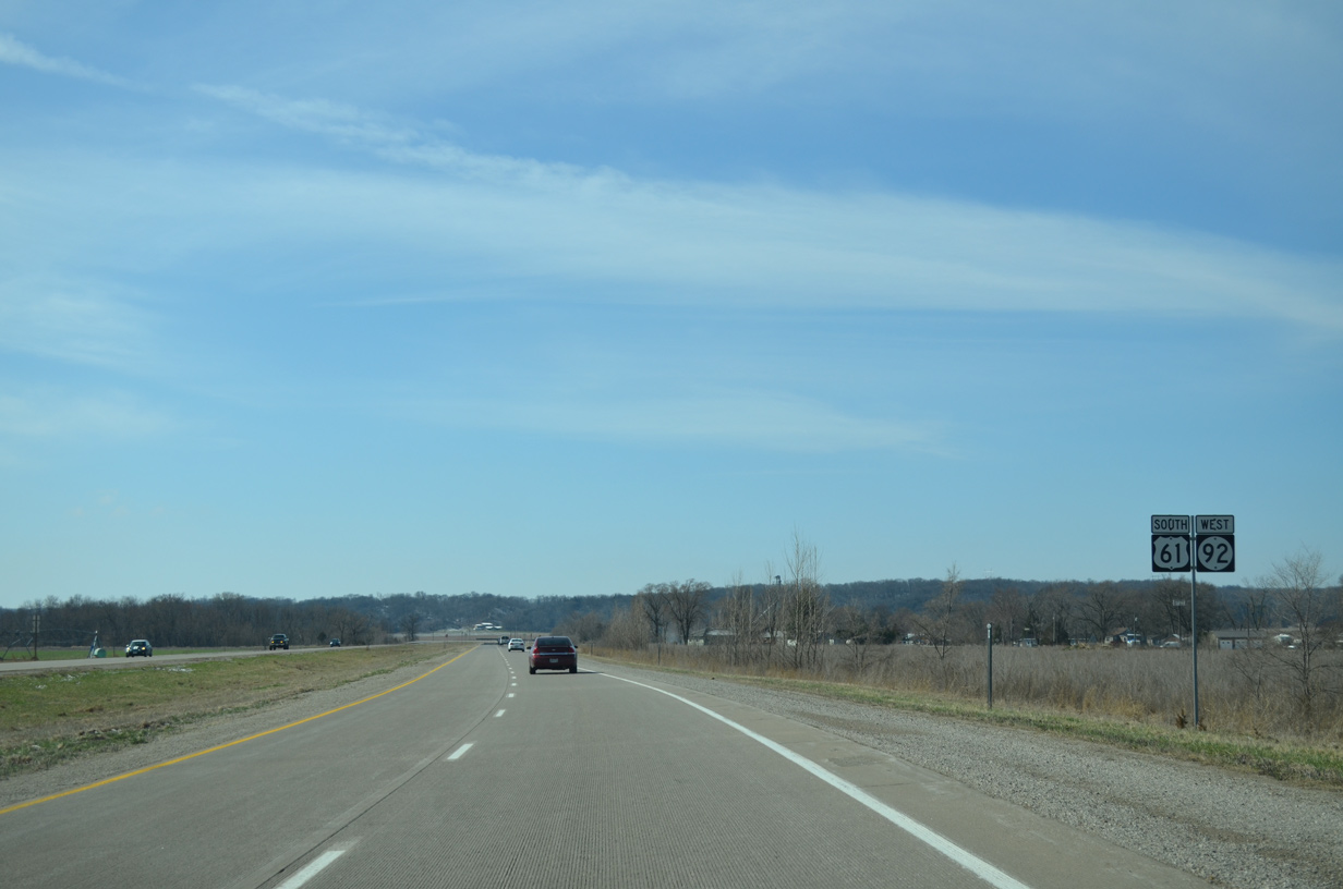
| U.S. 61 south and Iowa 92 west remain coupled to Grandview while Iowa 22 ventures west to Riverside and Kalona. 03/25/16 |
|
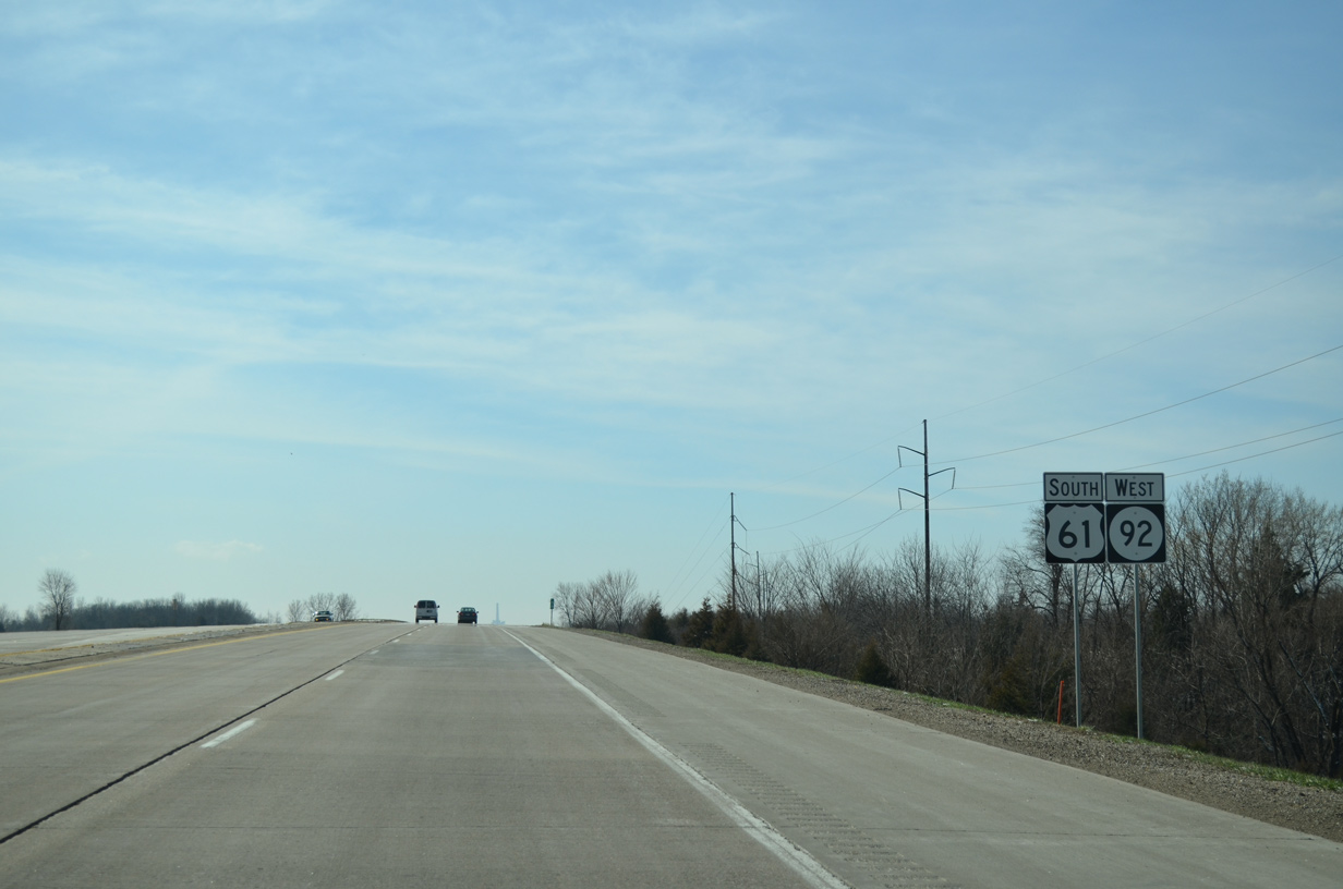
| U.S. 61 south and Iowa 92 west run alongside Discovery Park between Cedar Street (Iowa 22) and Lucas Street. 03/25/16 |
|
| Continuing south from Lucas Street, U.S. 61 and Iowa 92 rise to an elevation of 696 feet above sea level. 03/25/16 |
|
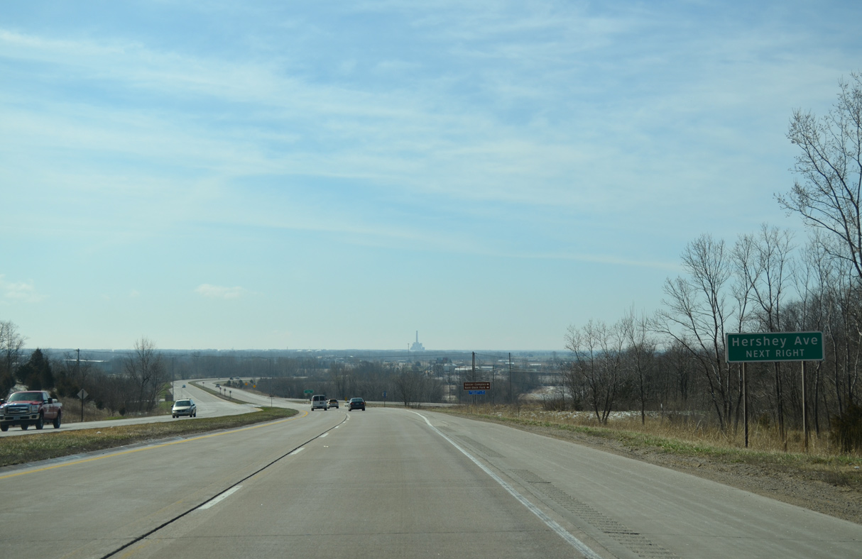
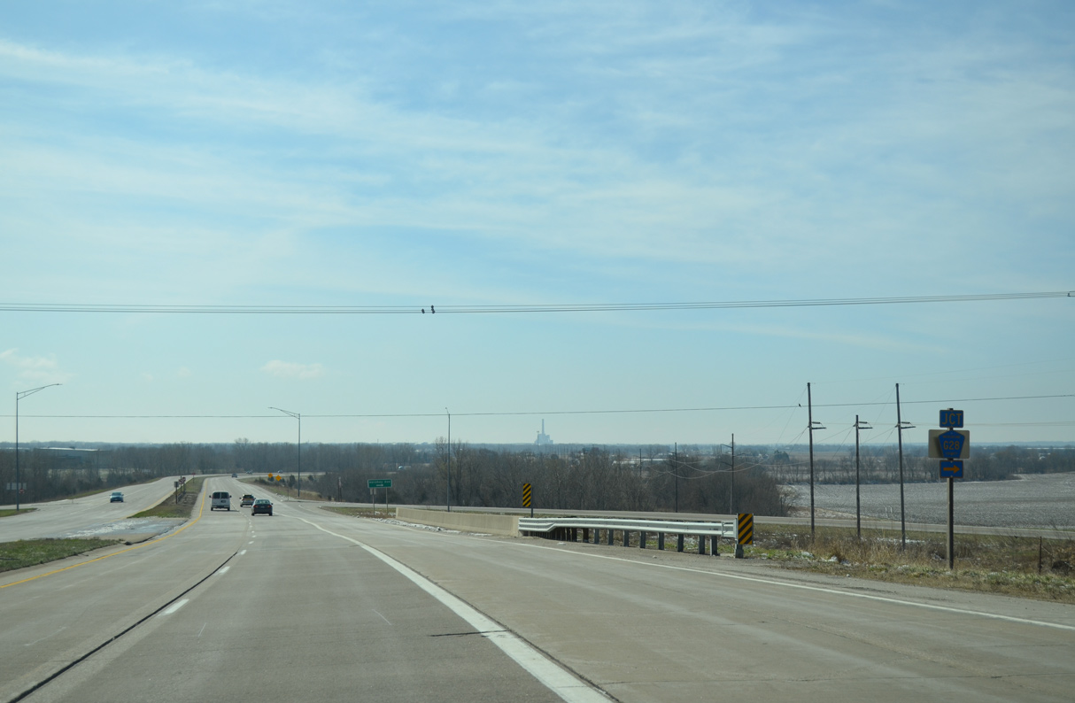
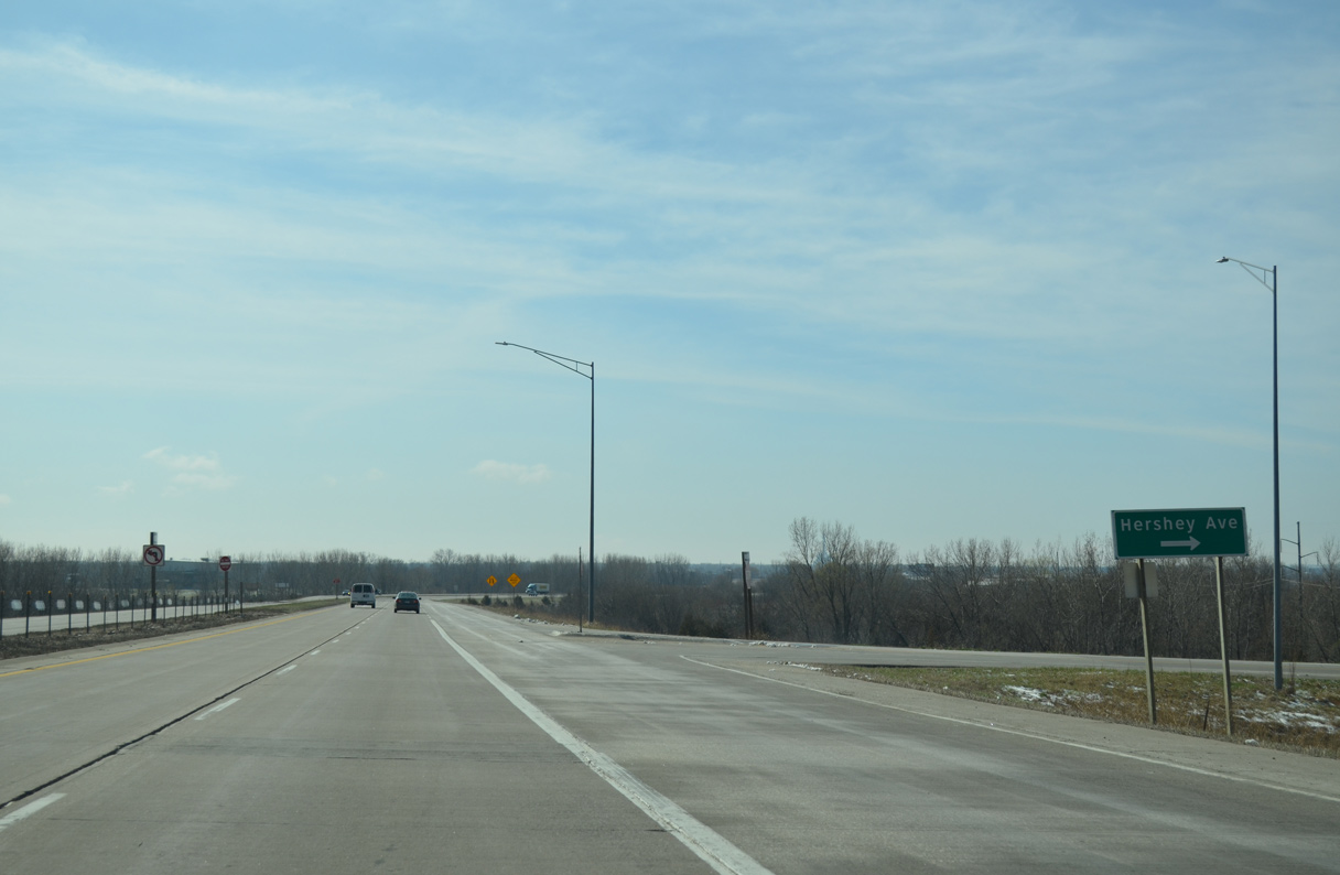
| A grade separated intersection joins U.S. 61/Iowa 92 with Hershey Avenue and County Road G28 (231st Street) west. 03/25/16 |
|
| CR G28 (231st Street) stems west from the Muscatine bypass to Iowa 70 near Conesville. 03/25/16 |
|
| U.S. 61/Iowa 92 pass over Hershey Avenue ahead of the ramps with the street east to the Muscatine Soccer Complex and Muscatine Kent-Stein Park. 03/25/16 |
|
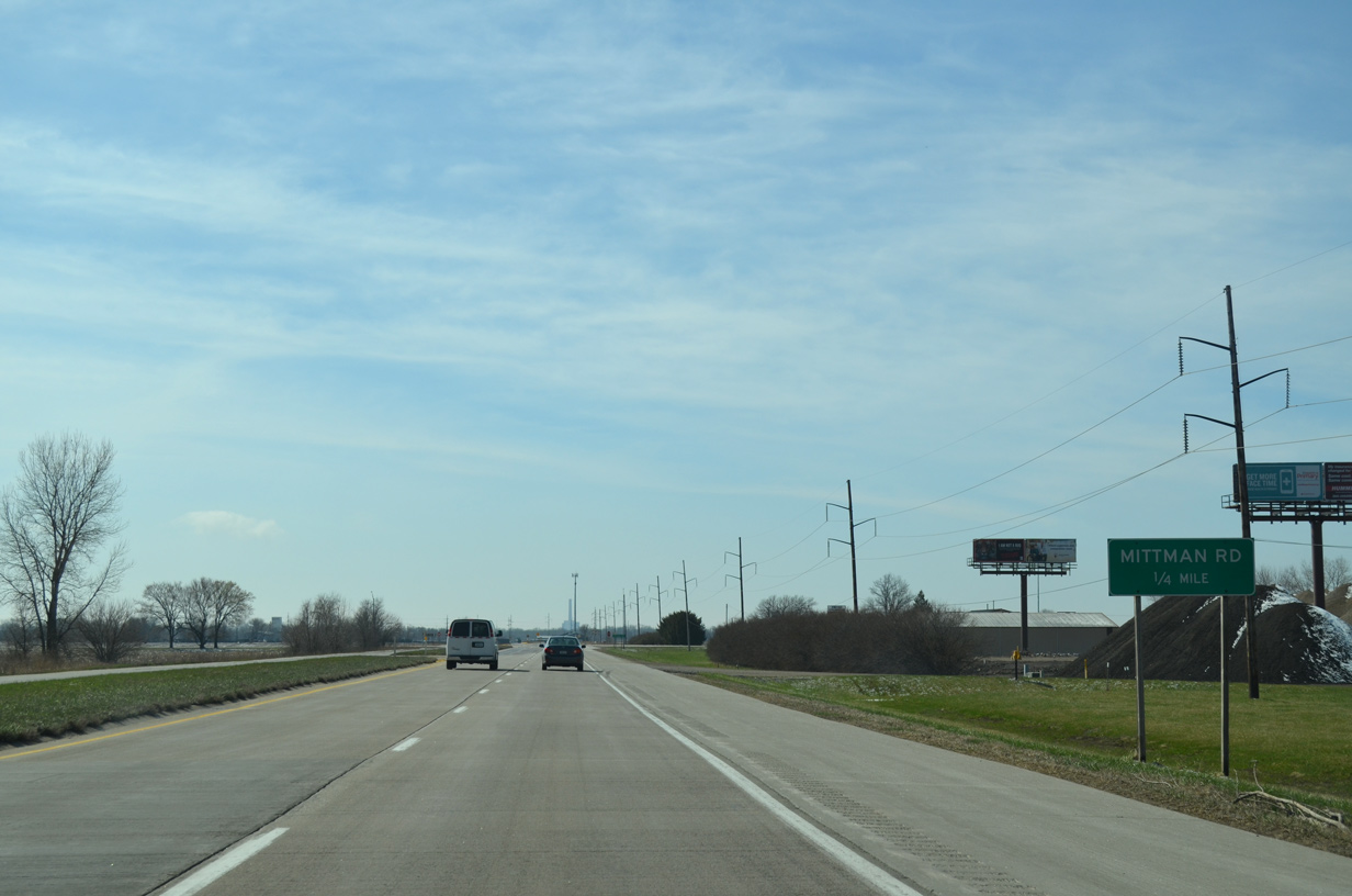
| U.S. 61/Iowa 92 navigate through an S-curve across Muscatine Slough and next intersect Mittman Road. 03/25/16 |
|
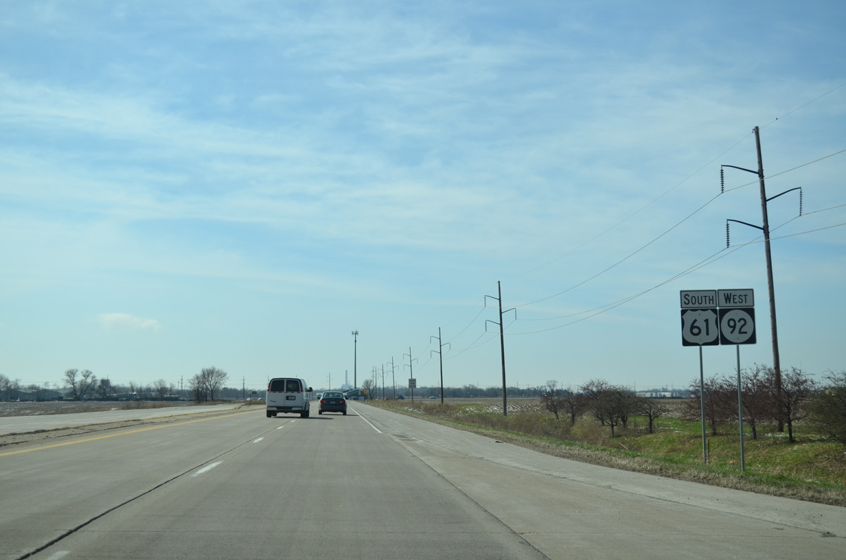
| Mittman Road runs west from Houser Street to a handful of industrial businesses and agricultural areas ahead of these confirming shields. 03/25/16 |
|
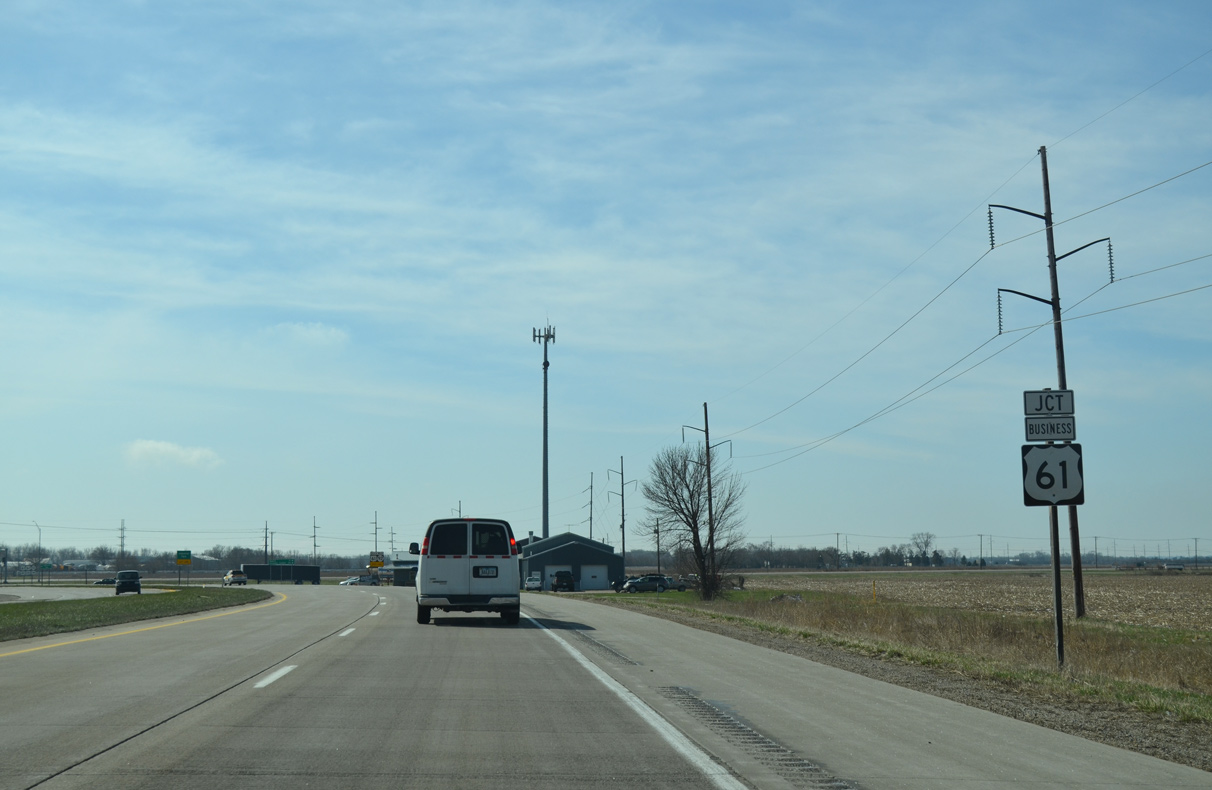
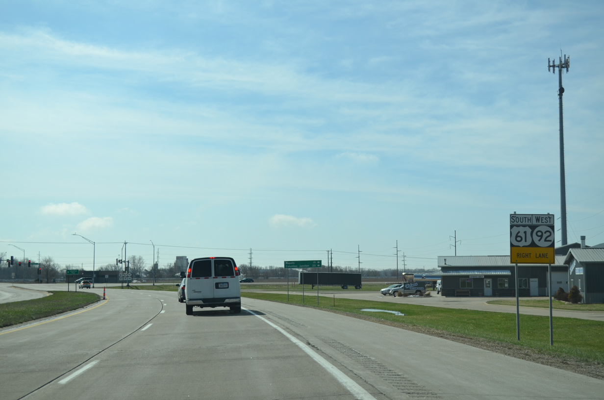
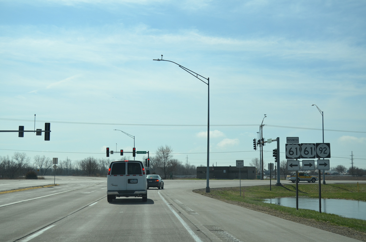
| U.S. 61/Iowa 92 converge with the south end of U.S. 61 Business (Grandview Avenue) opposite Dick Drake Highway. 03/25/16 |
|
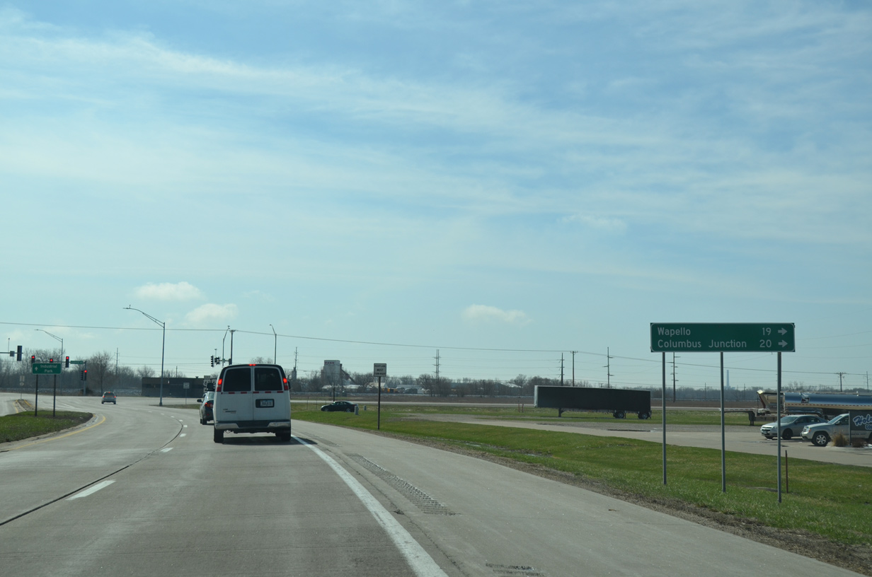
| Traveling south from Muscatine, U.S. 61 reaches Wapello in 19 miles. Iowa 92 heads west 20 miles to Columbus Junction. 03/25/16 |
|
| U.S. 61 Business (Grandview Avenue) leads northeast to Hershey Avenue and Downtown Muscatine. 03/25/16 |
|
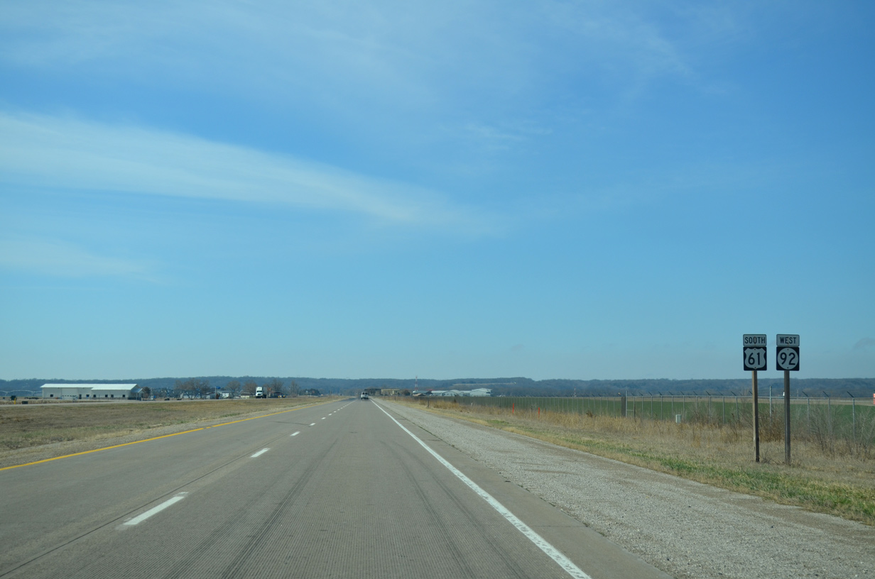
| U.S. 61/Iowa 92 remain within the Muscatine city limits southwest to Muscatine Municipal Airport (MUT). 03/25/16 |
|
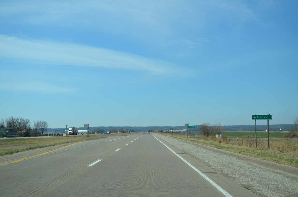
| Advancing southwest, U.S. 61/Iowa 92 pass by a large industrial park ahead of 67th Avenue W south to the city of Fruitland. 03/25/16 |
|
| U.S. 61/Iowa 92 proceed southwest between Muscatine Municipal Airport (MUT) and Fruitland. 03/25/16 |
|
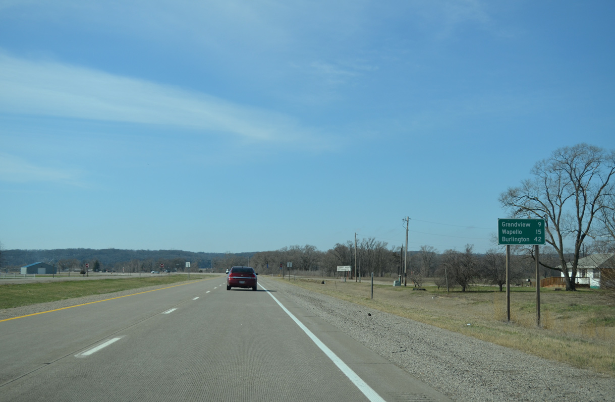
| Leading away from Muscatine Municipal Airport (MUT), U.S. 61 travels nine miles south to Grandview, 15 miles to Wapello and 42 miles to Burlington. 03/25/16 |
|
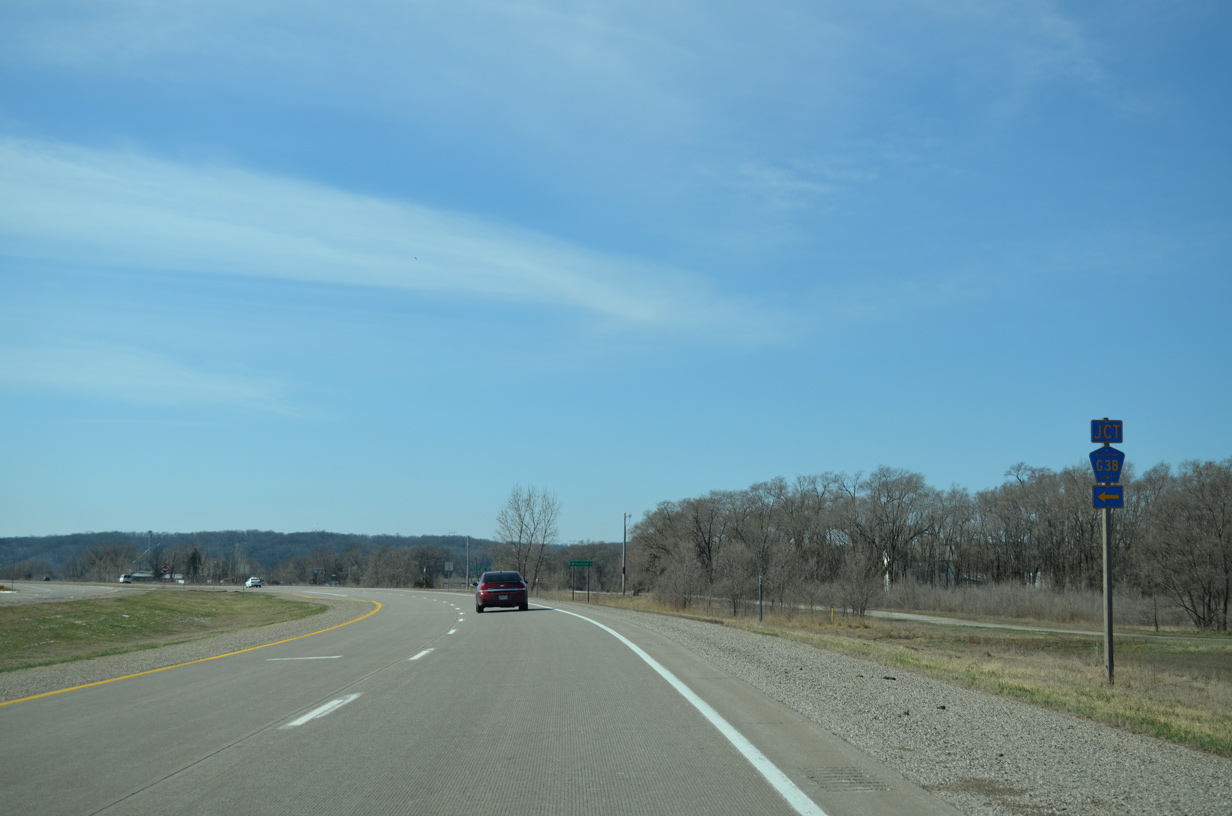
| CR G38 (Fruitland Road / North Street) heads a mile and half east from U.S. 61/Iowa 92 to Fruitland City Hall. 03/25/16 |
|
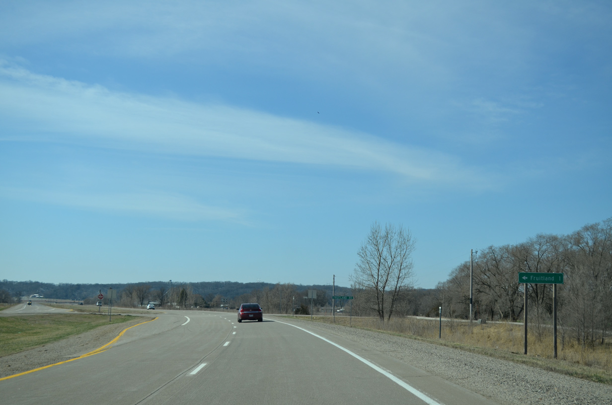
| A section of old U.S. 61 parallels to the west along Fruitland Road to Muscatine Slough. 03/25/16 |
|
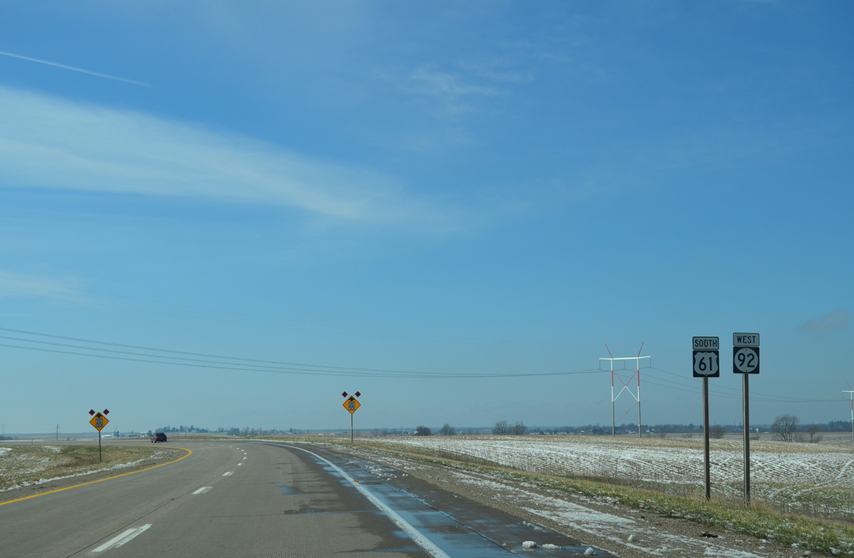
| Crossing Muscatine Slough, U.S. 61/Iowa 92 make a sweeping curve to Burlington Road and a bluff line. 03/25/16 |
|
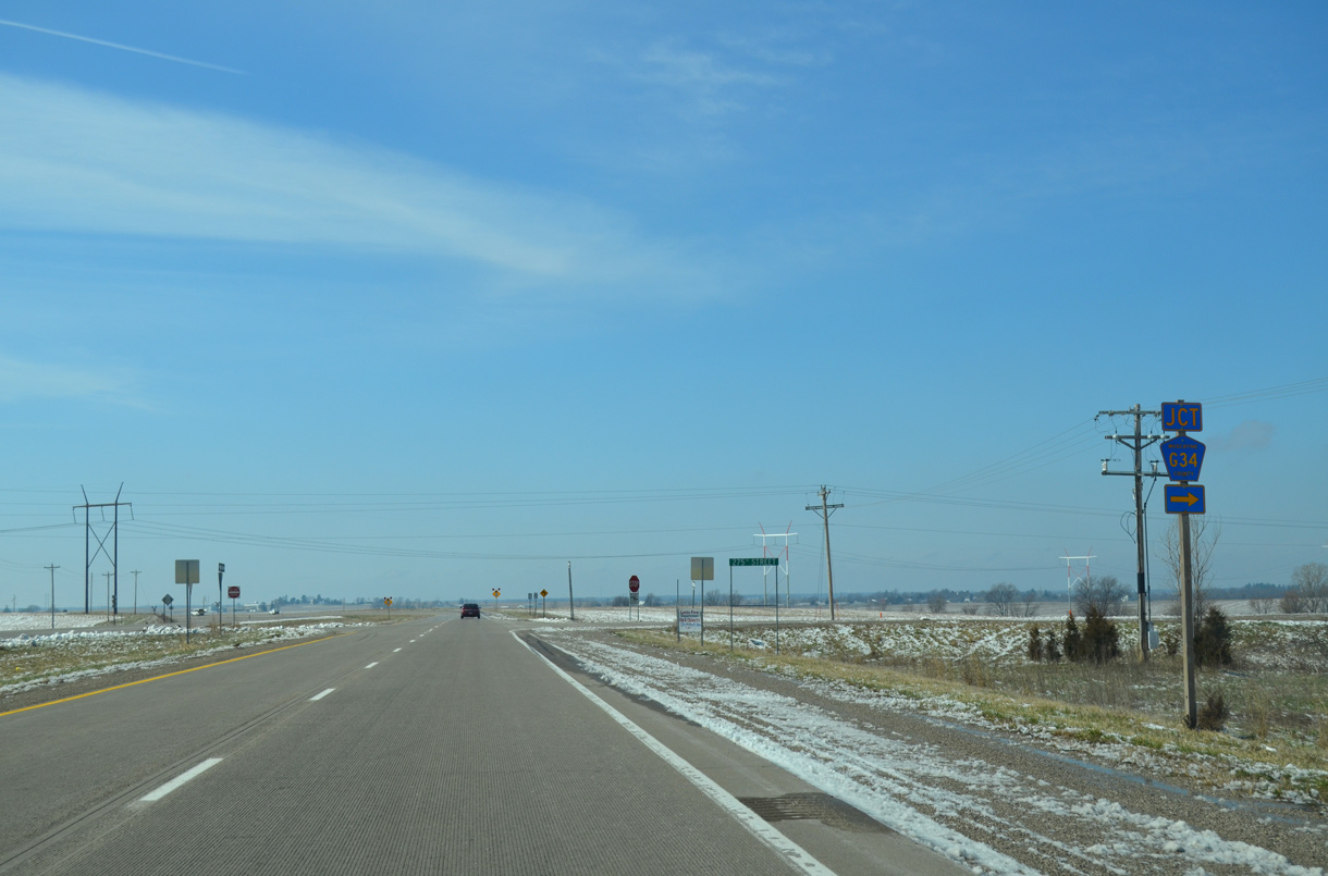
| Gaining around 200 feet in elevation from Muscatine Slough, U.S. 61/Iowa 92 meet County Route G34 (275th Street) west to Cedar township. 03/25/16 |
|
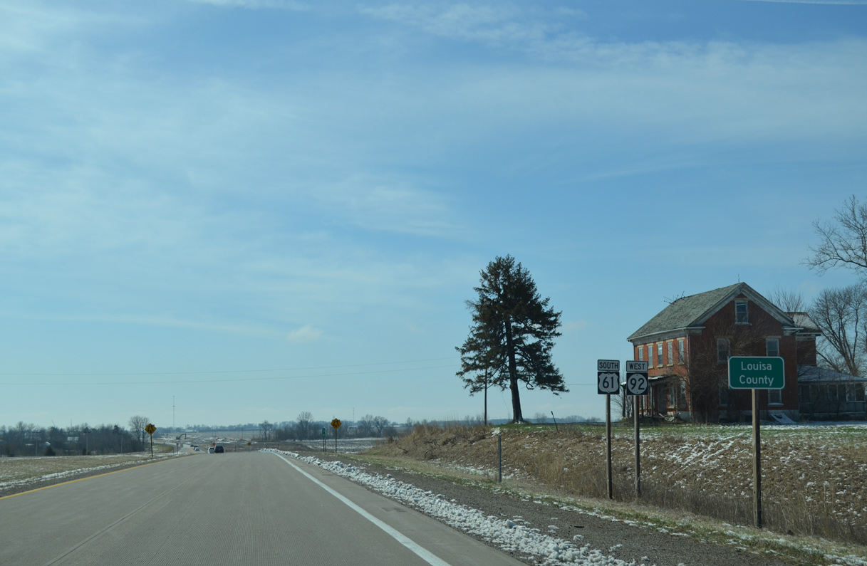
| Resuming a southward heading, U.S. 61/Iowa 92 enter Louisa County. 03/25/16 |
Page Updated 12-05-2019.

 South
South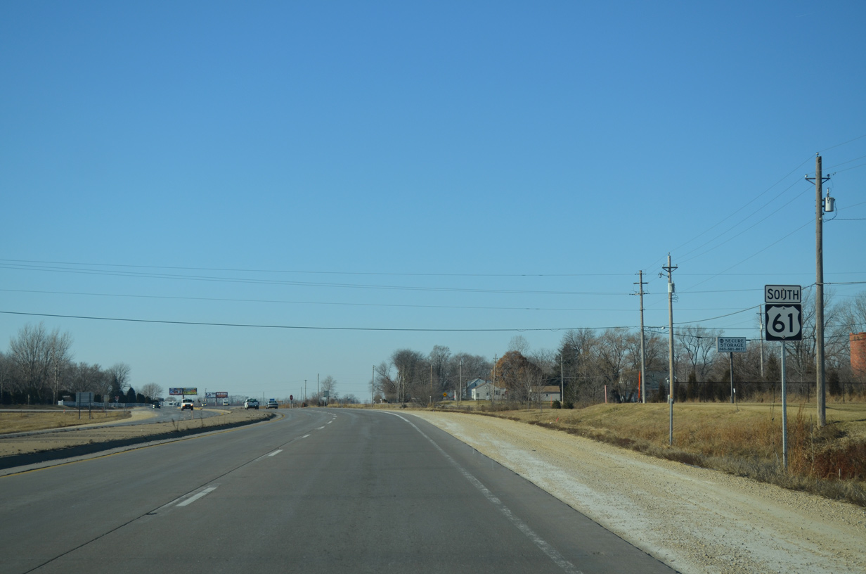


 West
West