|
| U.S. 61 Business begins at a diamond interchange taking U.S. 61 north alongside I-280 on the west side of Davenport. River Drive formally enters Davenport just east of the exchange. 05/29/18 |
|
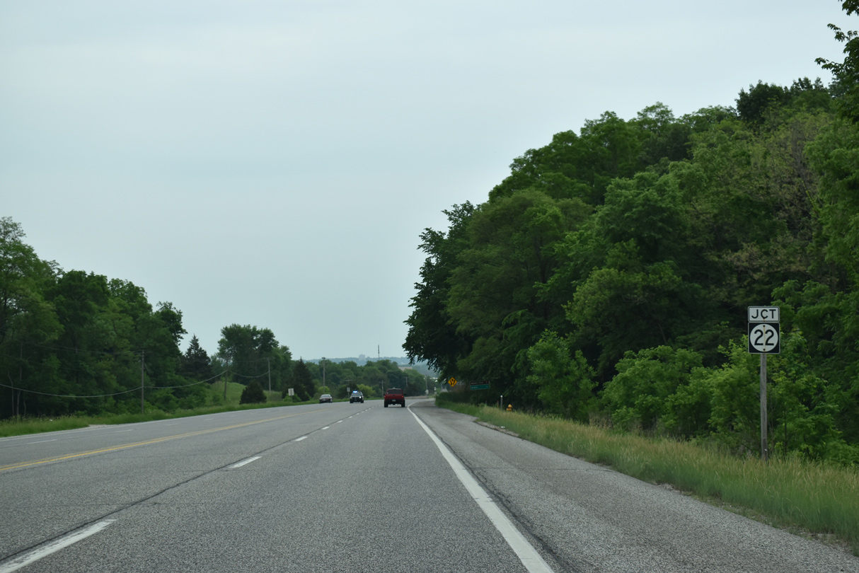
| River Drive lowers from the Mississippi River bluffs to meet the east end of Iowa 22 at Rockingham Road. 05/29/18 |
|
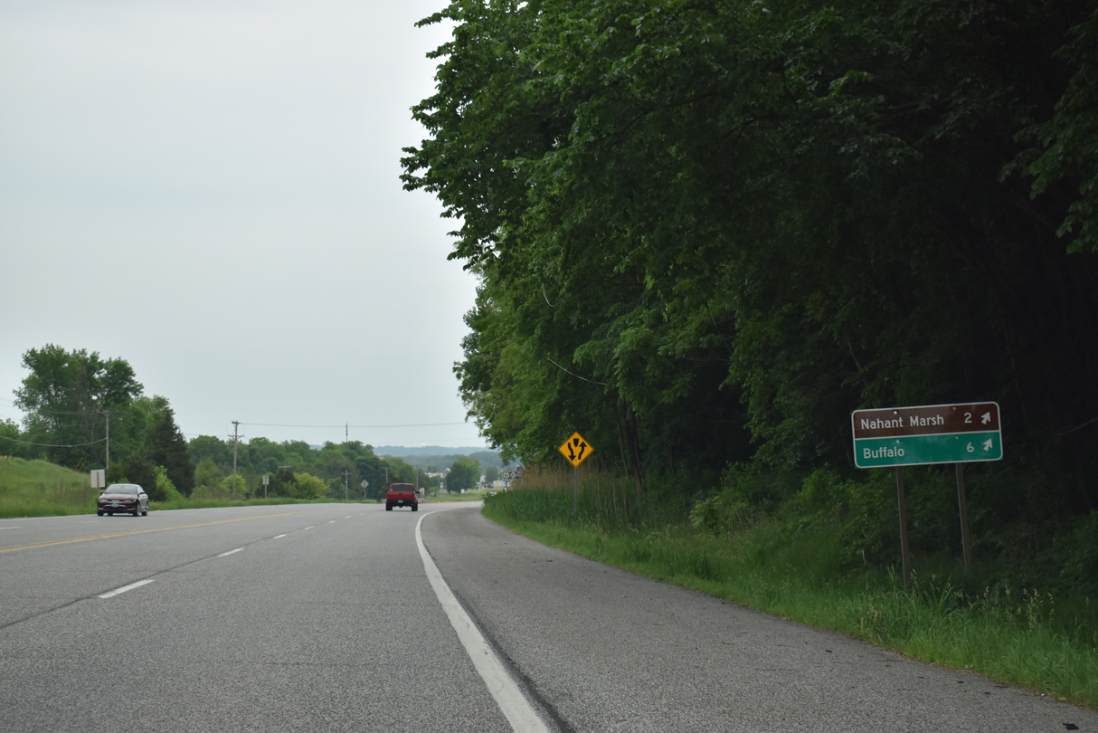
| Iowa 22 runs 0.7 miles southwest along Rockingham Road to Wapollo Avenue for the Nahant Marsh preserve and six miles to the Mississippi Riverfront city of Buffalo. 05/29/18 |
|
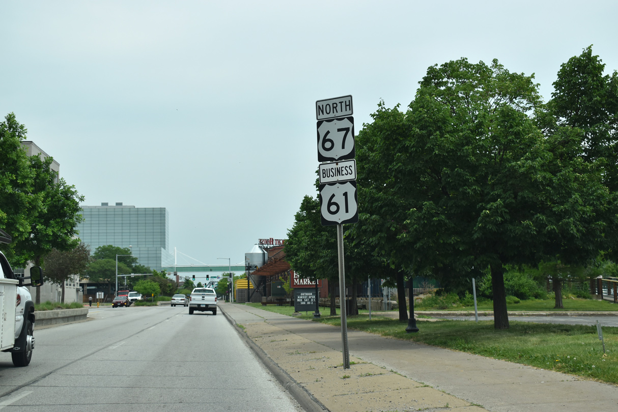
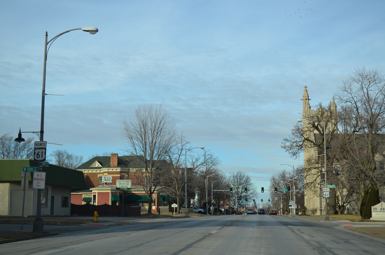
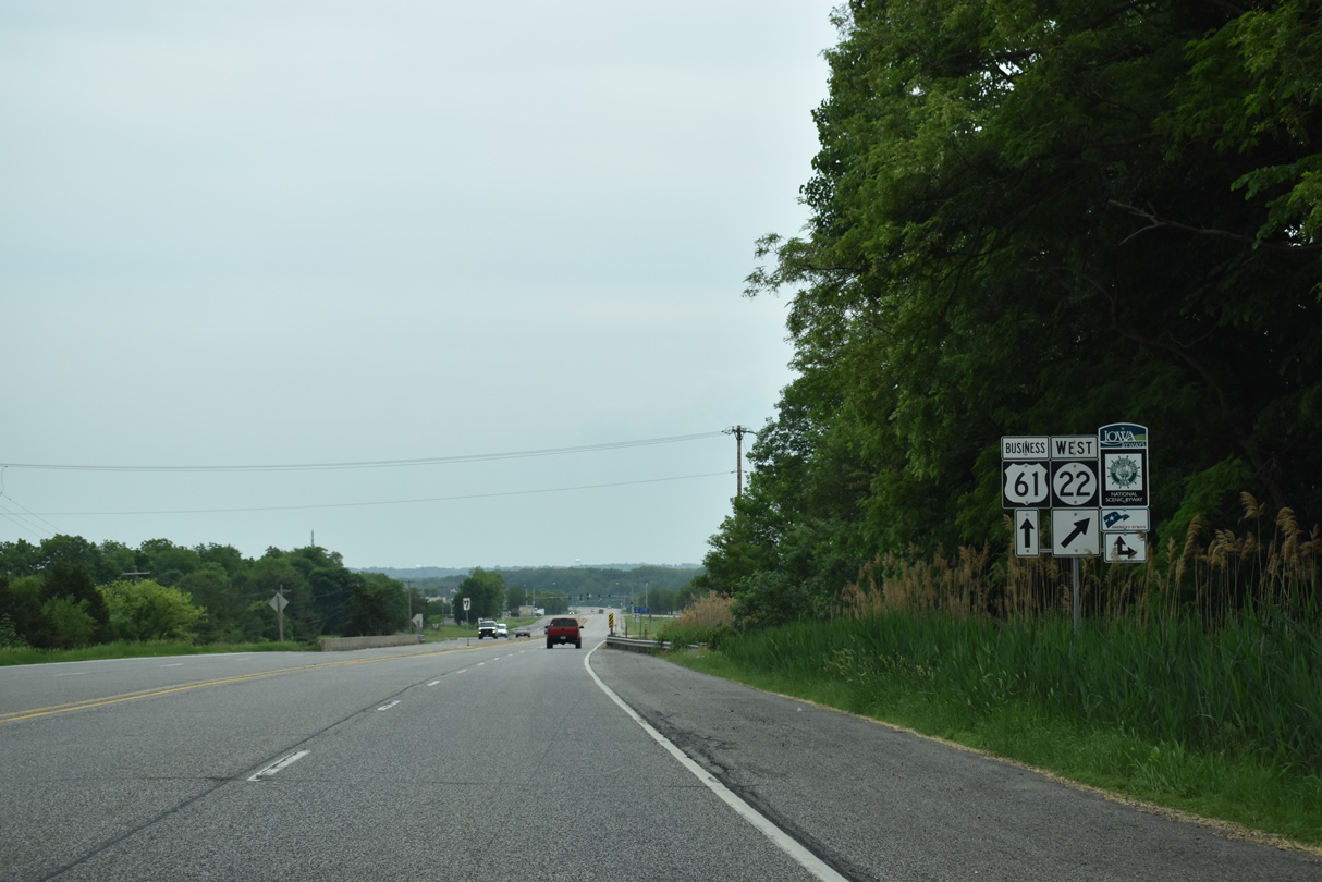
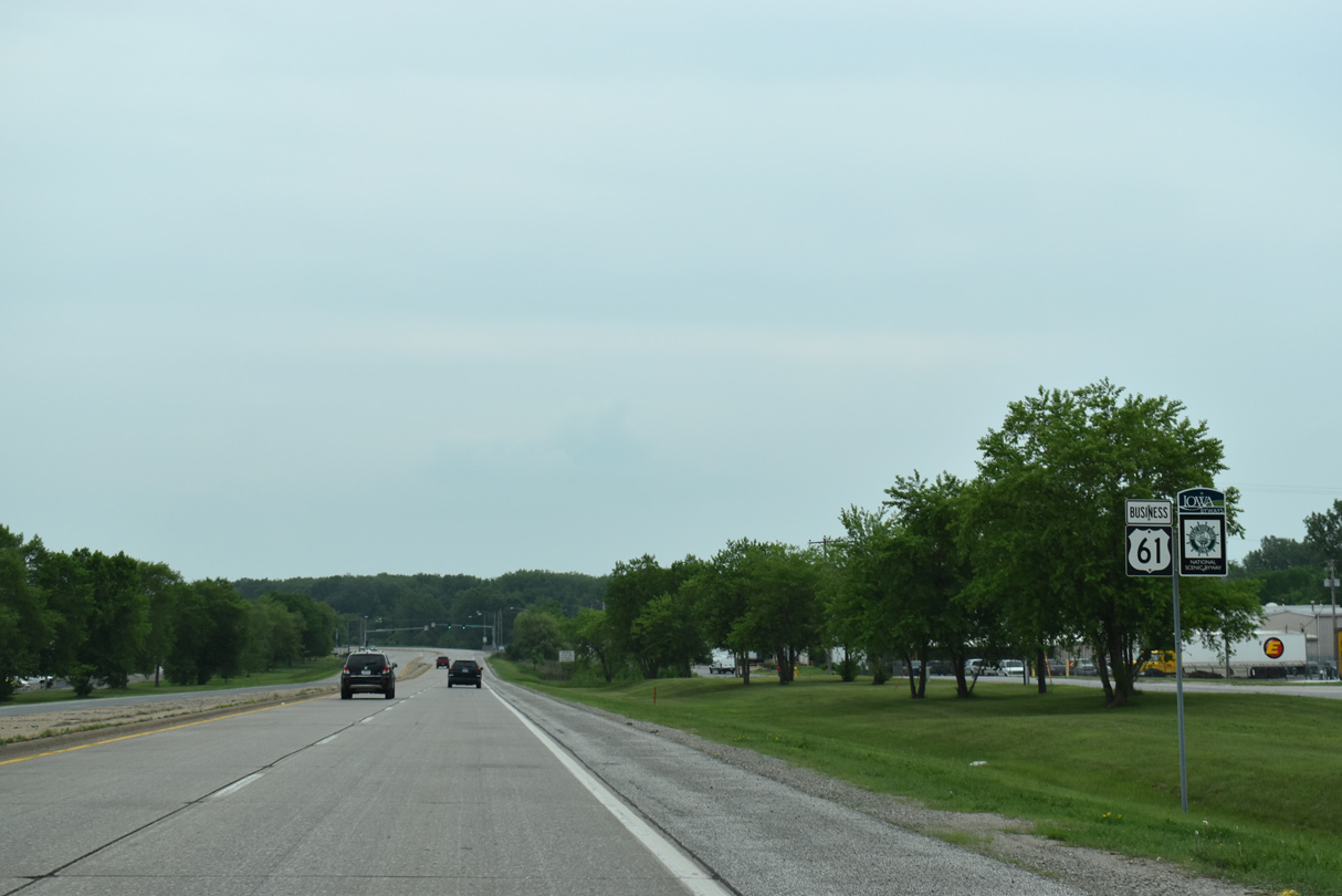
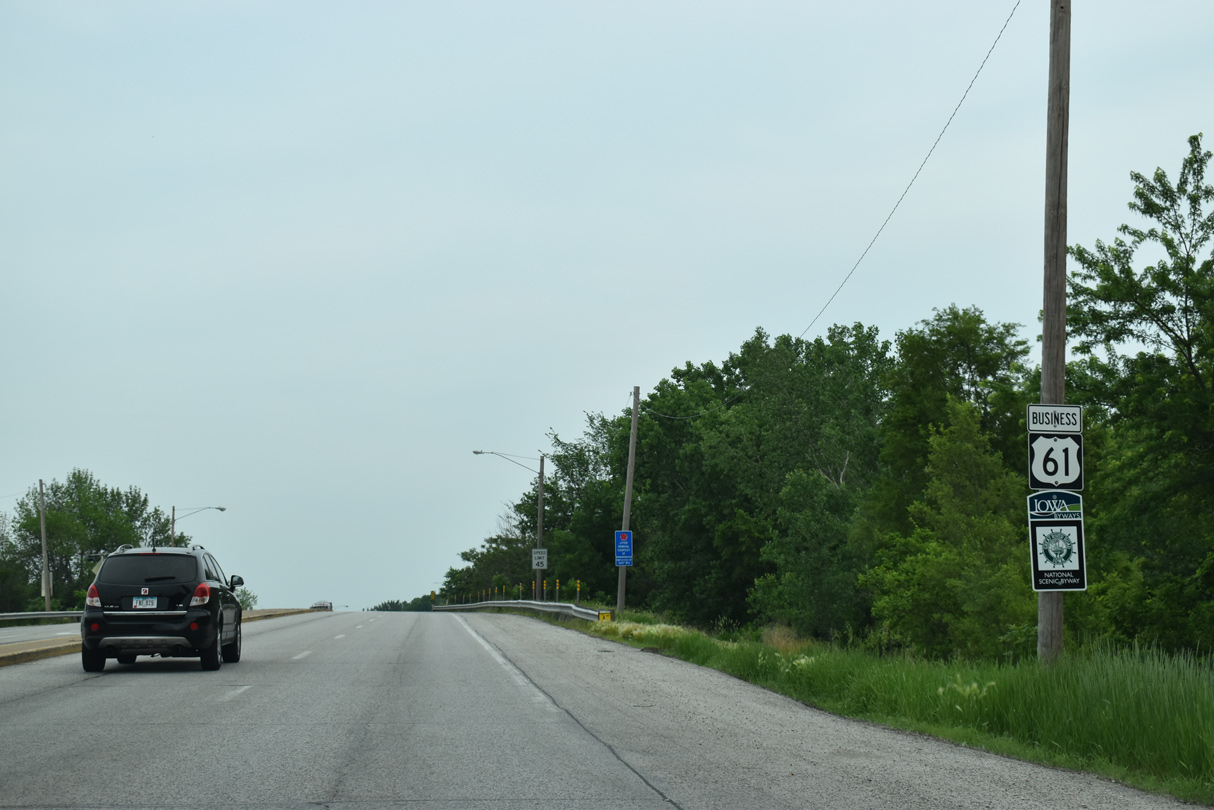
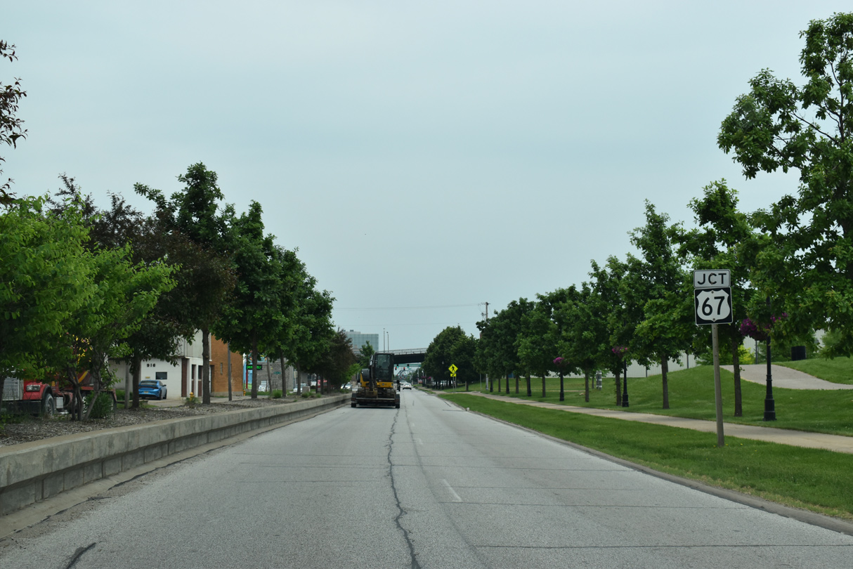
| The Iowa Great River Road system overlays Iowa 22 southwest to Muscatine and U.S. 61 Business east into Downtown Davenport. 05/29/18 |
|
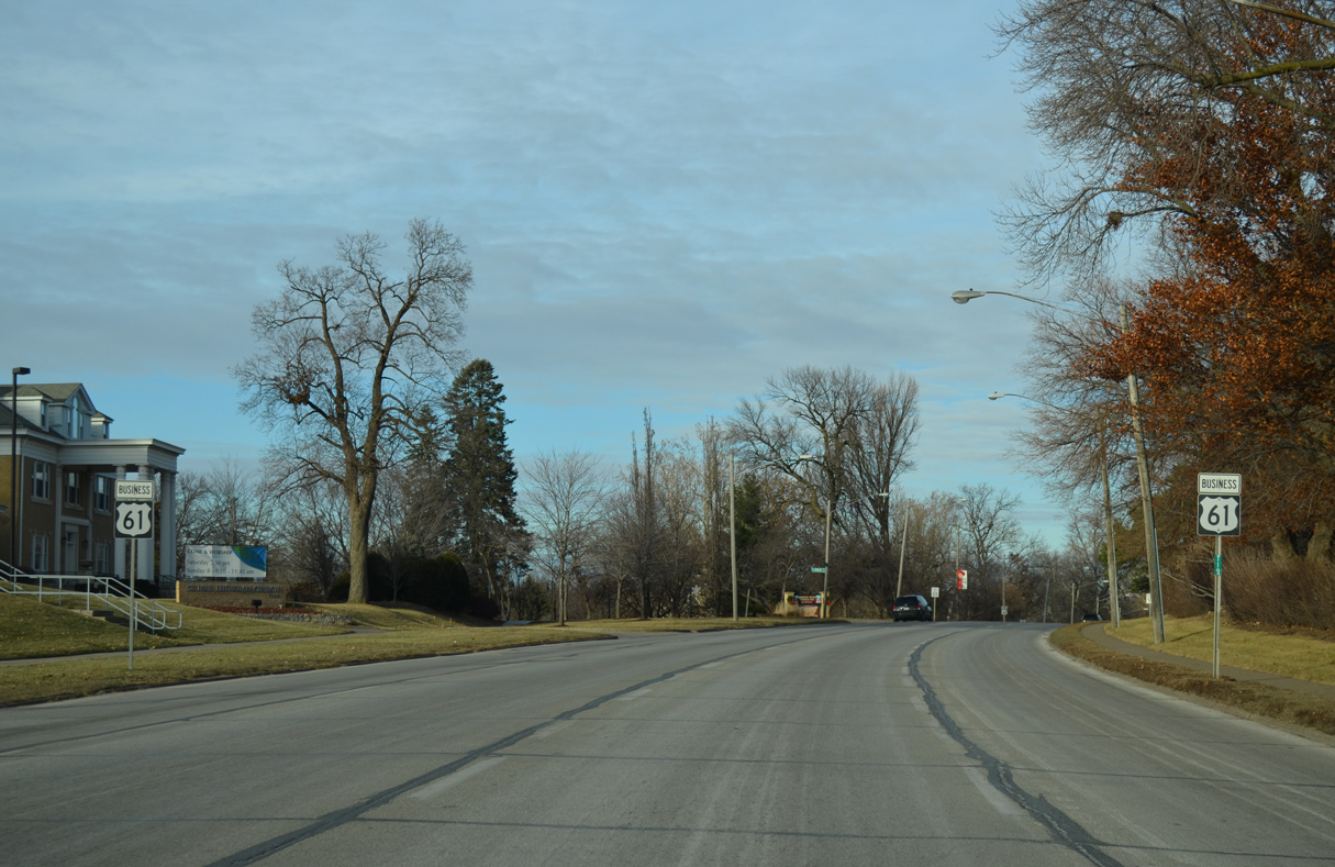
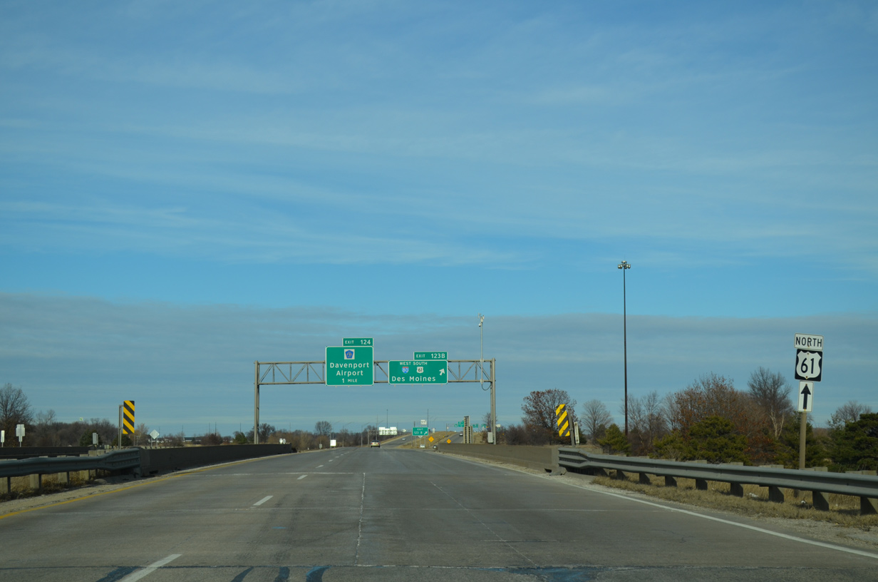
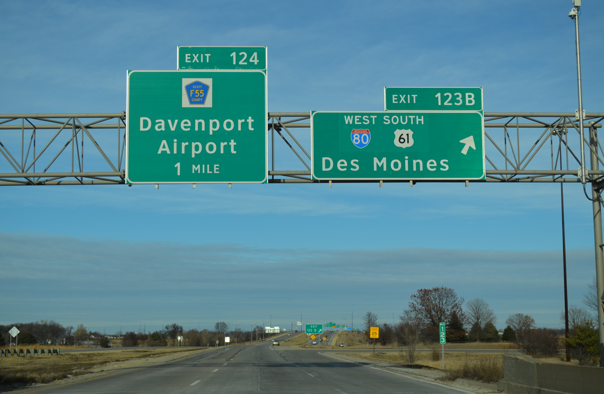
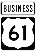
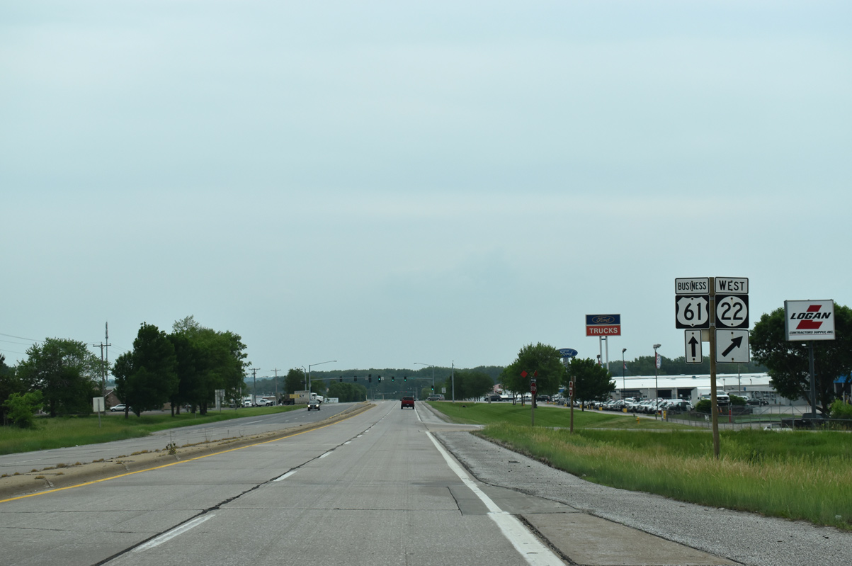
| Iowa 22 concludes a 98 mile route east from Keokuk County at a folded diamond interchange with U.S. 61 Business (River Drive). 05/29/18 |
|
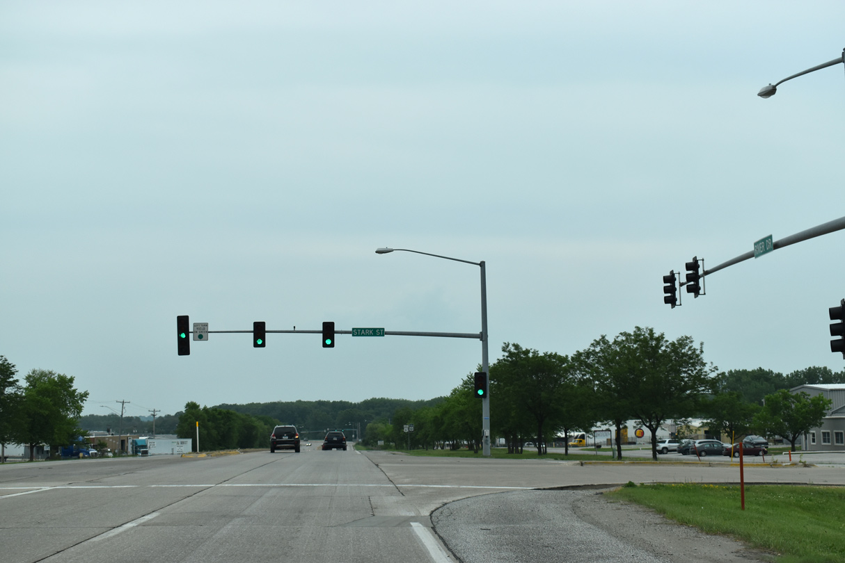
| Continuing southeast from Iowa 22, U.S. 61 Business (River Drive) intersects Stark Street to adjacent industrial parks. 05/29/18 |
|
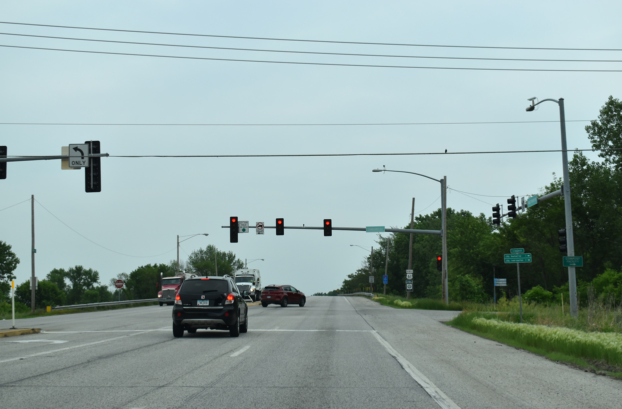
| Frontage roads accompany River Drive as U.S. 61 Business advances east with controlled access. 05/29/18 |
|
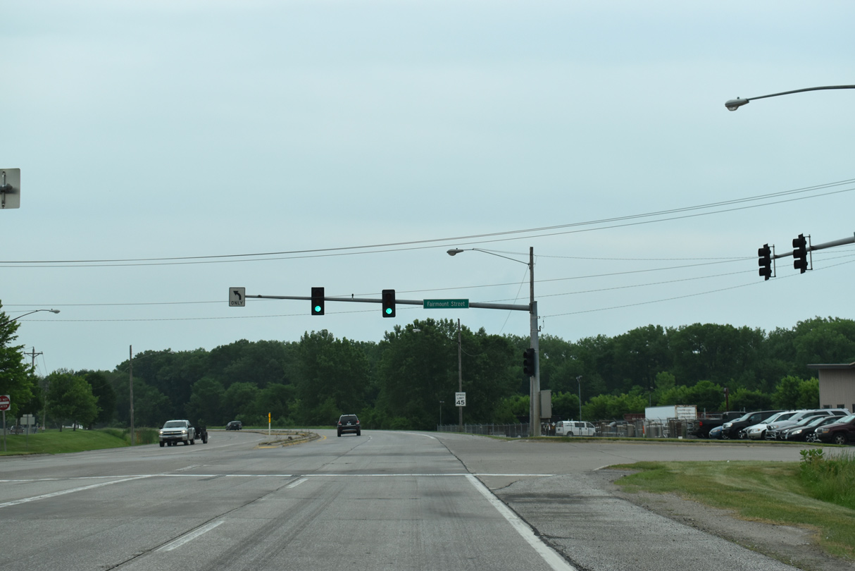
| Fairmount Street stems north from the adjacent south side frontage road to Rockingham Road through the West Davenport neighborhood. 05/29/18 |
|
| Concord Street runs alongside Davenport Harbor north from the Mississippi River to intersect U.S. 61 Business. The street extends north into residential areas. 05/29/18 |
|
| River Drive elevates across Dakota, Minnesota & Eastern (DME) Railroad Corporation lines east of Concord Street. 05/29/18 |
|
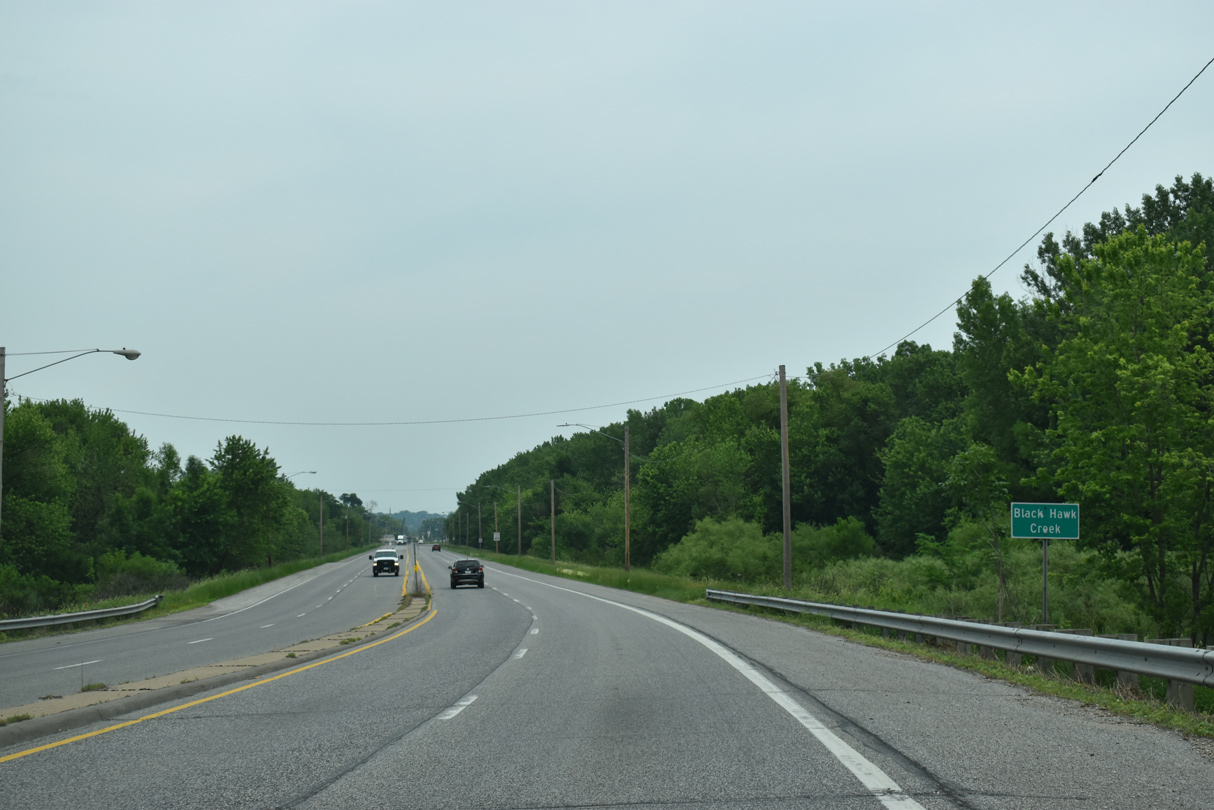
| U.S. 61 Business (River Drive) crosses over Black Hawk Creek east of the DME Railroad underpass. 05/29/18 |
|
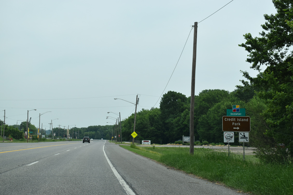
| Credit Island Park lies just south of U.S. 61 Business between Davenport Harbor and the Mississippi River. Credit Island Road traverses a causeway south from West River Drive to the city of Davenport park. 05/29/18 |
|
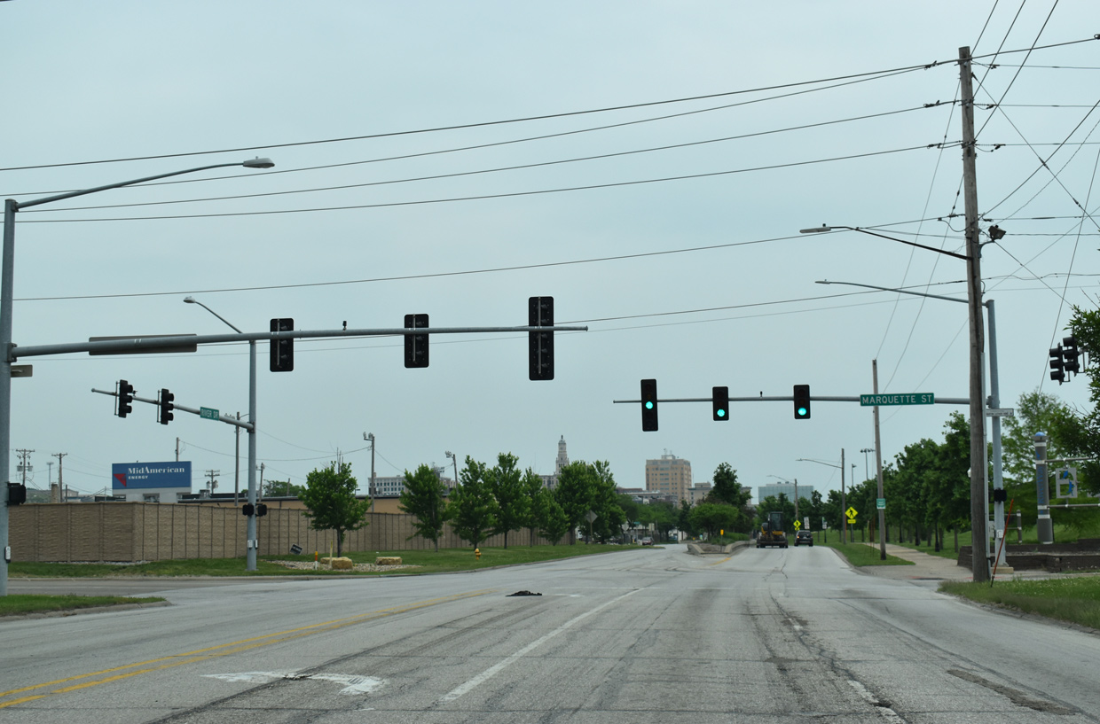
| Arcing northeast, U.S. 61 Business (West Drive Drive) travels through an industrial area anchored by an Oscar Mayer plant. Marquette Street intersects the arterial north from Centennial Park and south from the Southwest Gateway neighborhood. 05/29/18 |
|
| U.S. 61 Business (West River Drive) parallels West 2nd Street and the DME Railroad ahead of the Centennial Bridge (U.S. 67) and Downtown Davenport. 05/29/18 |
|
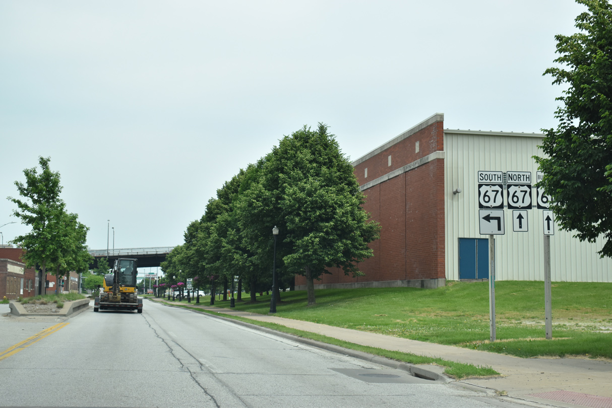
| Brown Street takes U.S. 67 south from West River Drive to a loop ramp onto the Centennial Bridge. The steel arch span connects with Illinois 92 (Centennial Expressway) and 15th Street west of the Rock Island central business district. 05/29/18 |
|
| U.S. 67 runs south through Rock Island to Milan and Oak Grove on the Illinois side of the Quad Cities. 05/29/18 |
|
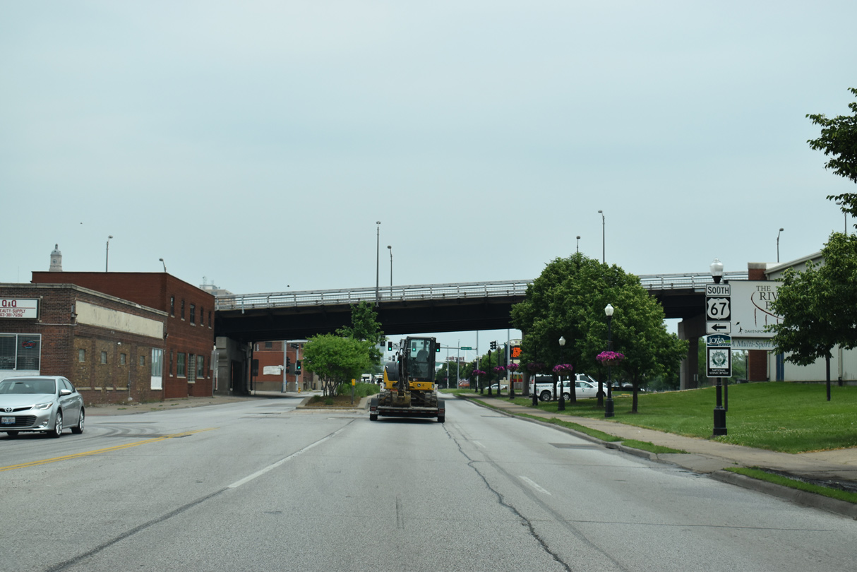
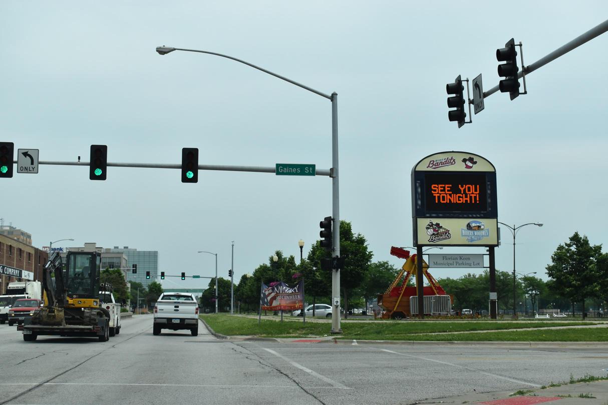
| A discontinuous section of Gaines Street intersects West River Drive adjacent to the Centennial Bridge. Modern Woodmen Park, home of the Quad Cities River Bandits Minor League Baseball team, lies just south of the adjacent DME Railroad. 05/29/18 |
|
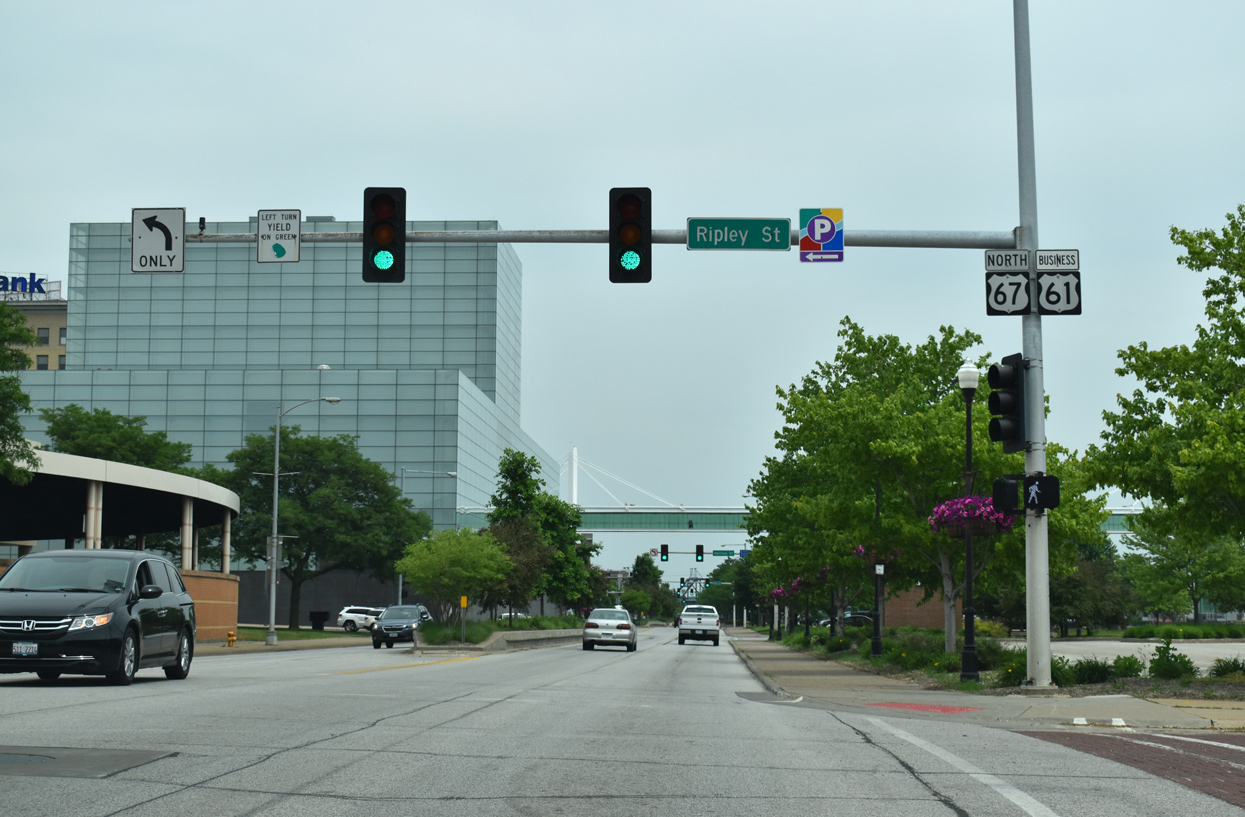
| Northbound U.S. 67 combines with U.S. 61 Business (River Drive) for a five block overlap east from Western Avenue. These confirming markers for both routes precede Scott Street. 05/29/18 |
|
| U.S. 67/61 Business north intersect Ripley Street by Eastern Iowa Community College and LeClaire Park. U.S. 61 Business was designated in 2010 as the U.S. 61 mainline shifted to bypass Davenport via I-280 and I-80. Sign changes were made by September 2011. 05/29/18 |
|
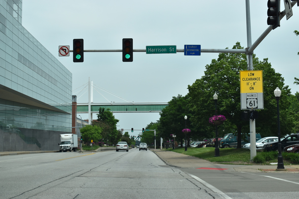
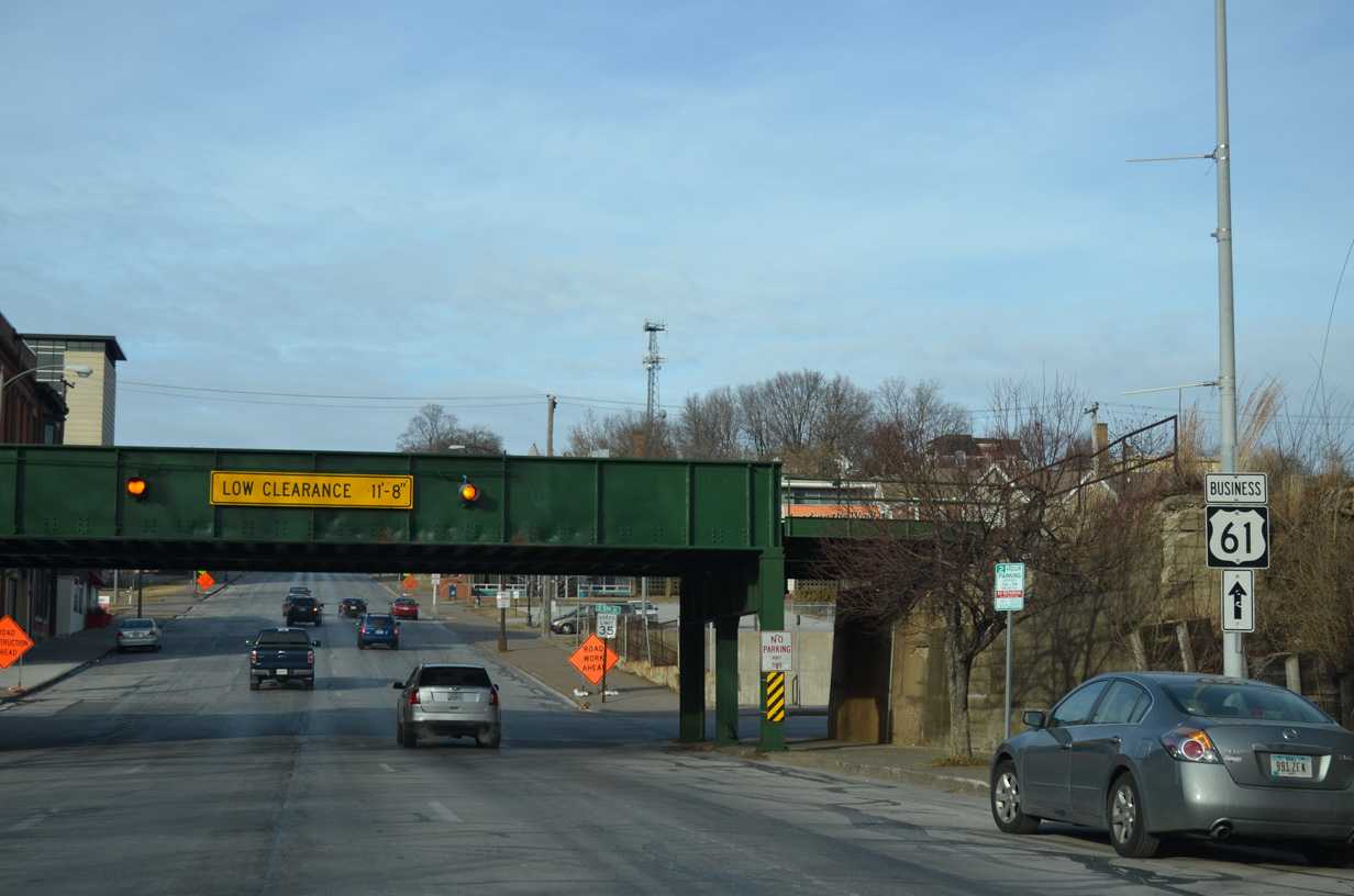
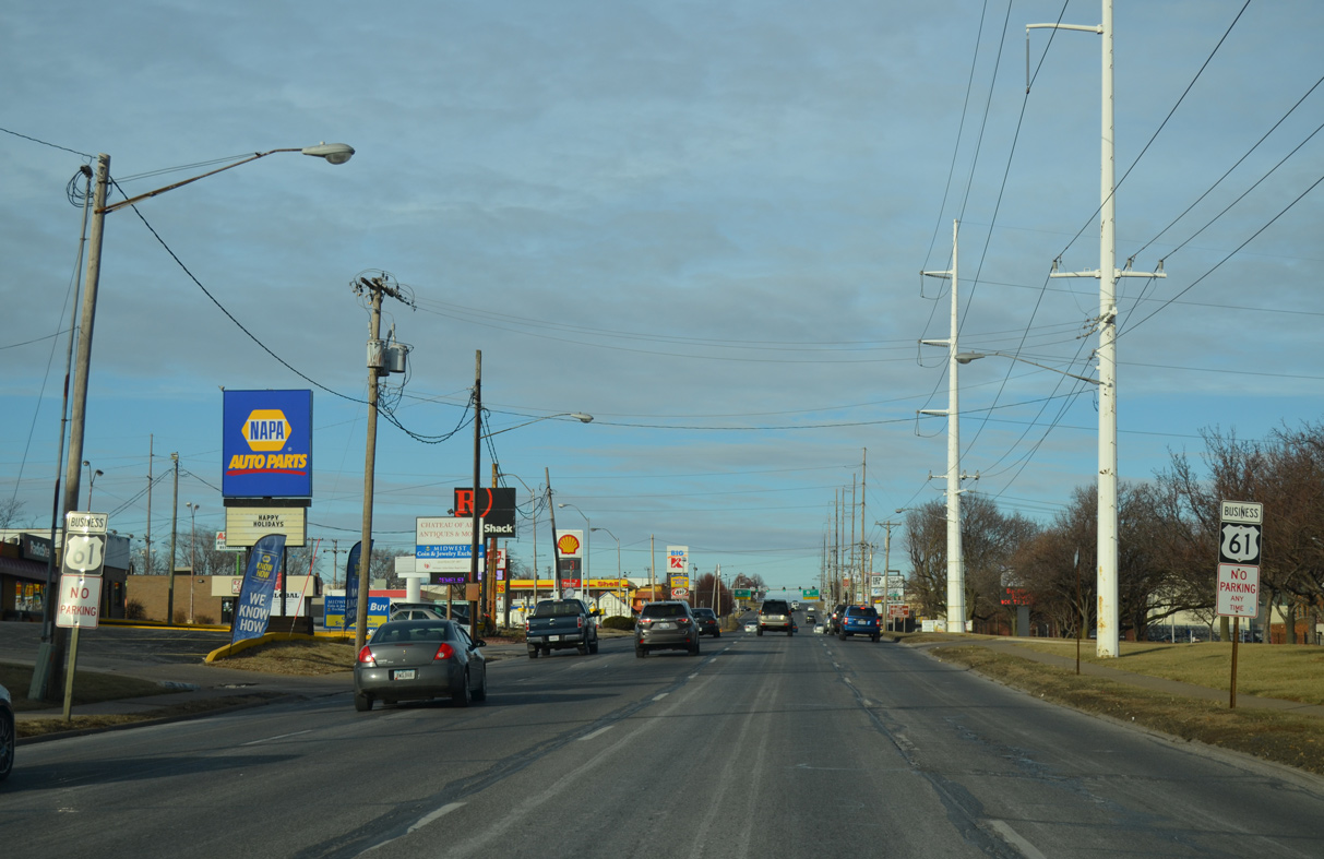
| Harrison Street carries U.S. 61 Business southbound from Welcome Way near Northpark Mall. U.S. 61 Business north follows Brady Street to the east, which includes the low clearance (11 feet 8 inches) Iowa Interstate Railroad bridge at 5th Street. 05/29/18 |
|
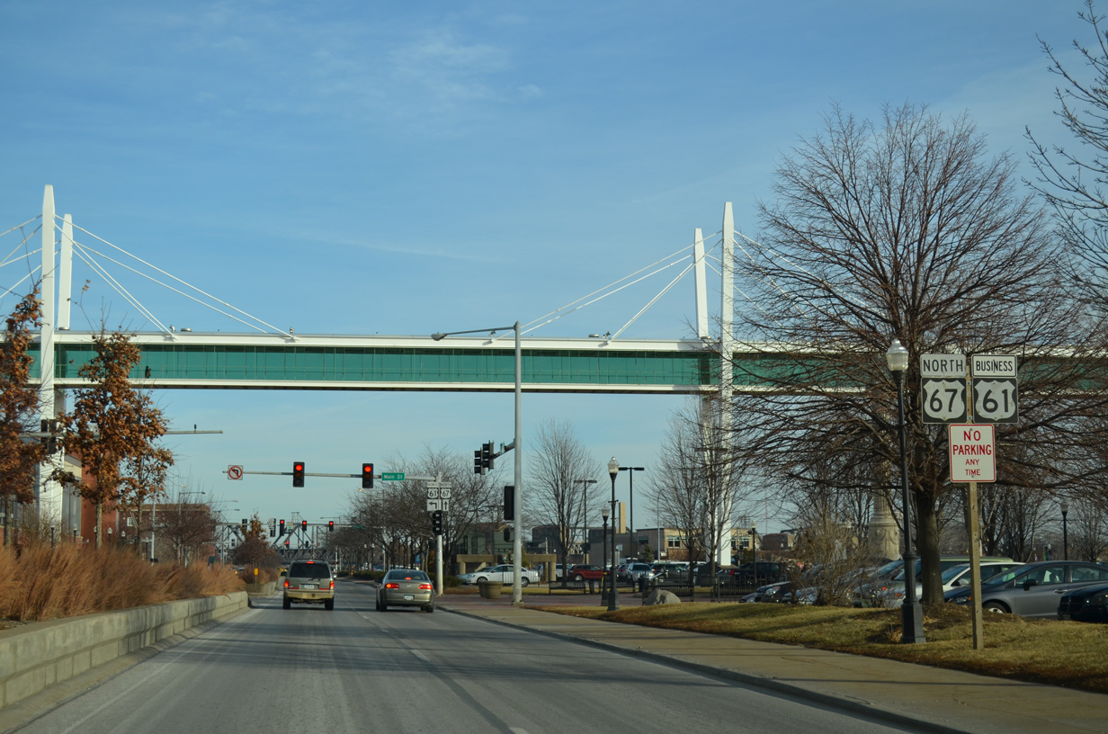
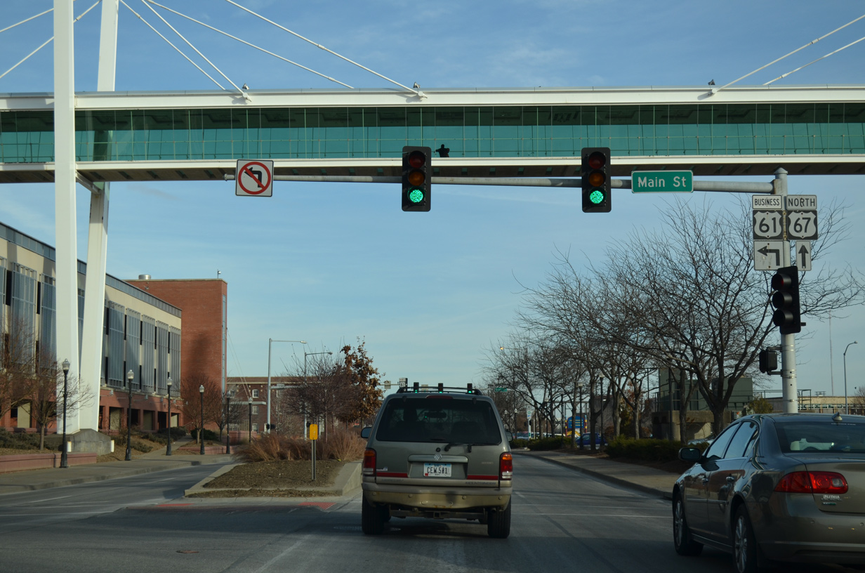
| Advancing to Main Street and the sky bridge that previously led to Rhythm City Casino along U.S. 67/61 Business (River Drive) north. 01/01/15 |
|
| Left turns are prohibited onto Main Street north from River Drive east. A plaza and monument lie just south of Main Street, one block from the separation of U.S. 67/61 Business. 01/01/15 |
|
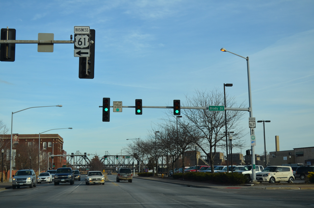
| U.S. 61 Business turns north onto Brady Street through Downtown Davenport. U.S. 67 remains along East River Drive to Prospect Park, East Davenport and the city of Bettendorf. The Government Bridge to the Rock Island Arsenal appears in the distance. 01/01/15 |
|
| Brady Street flows north with three overall lanes from U.S. 67 (River Drive) to 5th Street and four lanes from there. 01/01/15 |
|
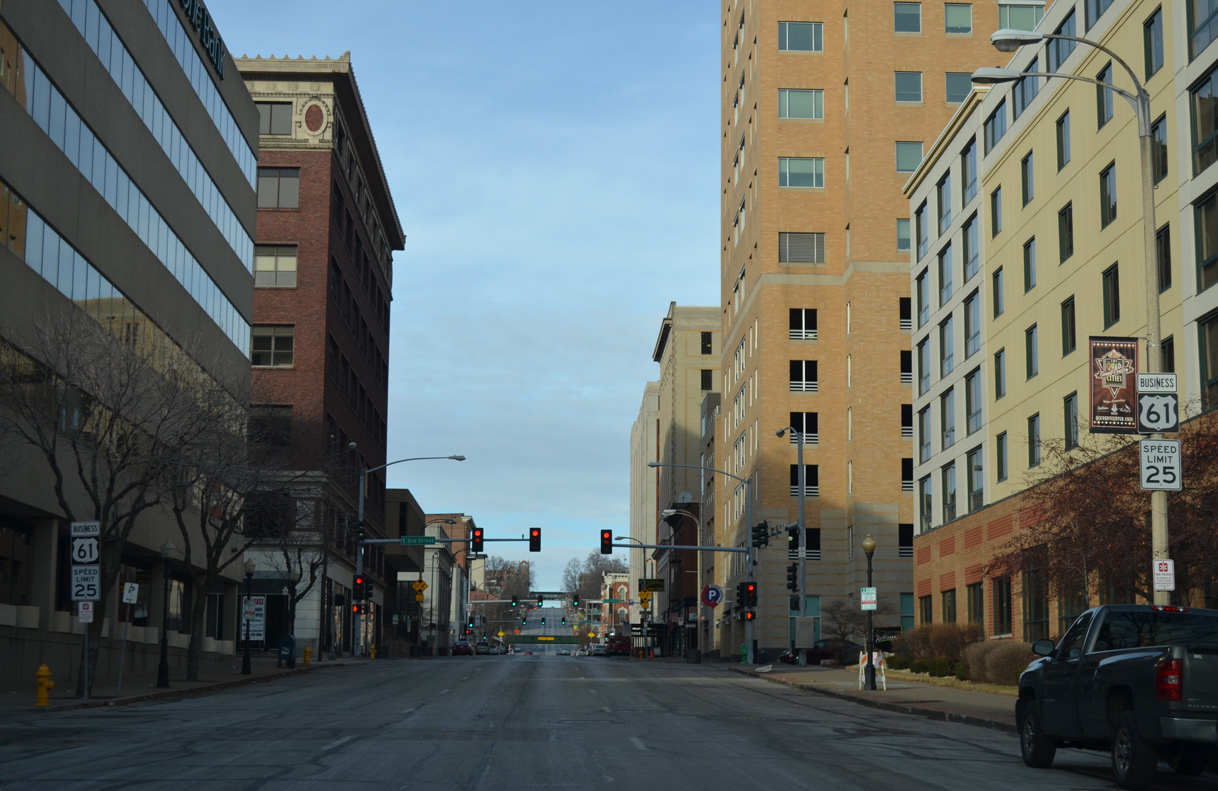
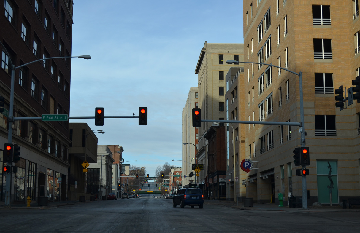
| 2nd Street connects the west end of the Government Bridge with U.S. 61 Business and U.S. 67 (River Drive). 01/01/15 |
|
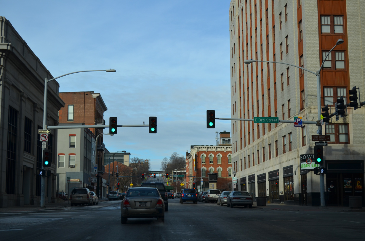
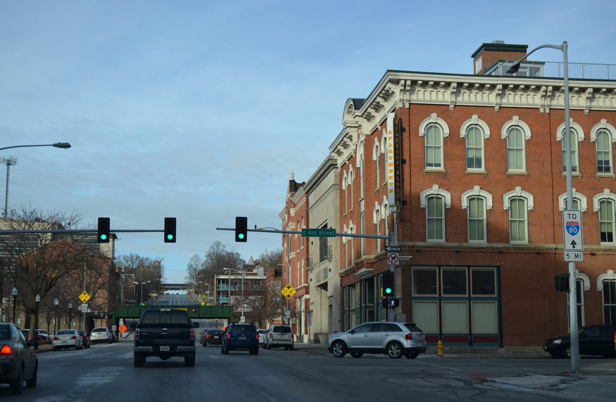
| 3rd Street east forms a one way couplet with 4th Street west across the north side of Downtown Davenport. 01/01/15 |
|
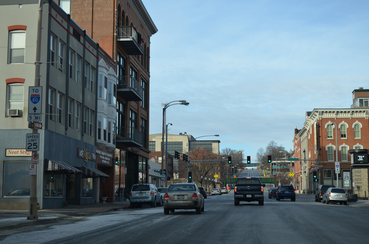
| A pair of trailblazers for Interstate 80 direct motorists north from Downtown Davenport along U.S. 61 Business five miles to the freeway. 01/01/15 |
|
| 4th Street flows west from the central business district to the Southwest Gateway neighborhood. 01/01/15 |
|
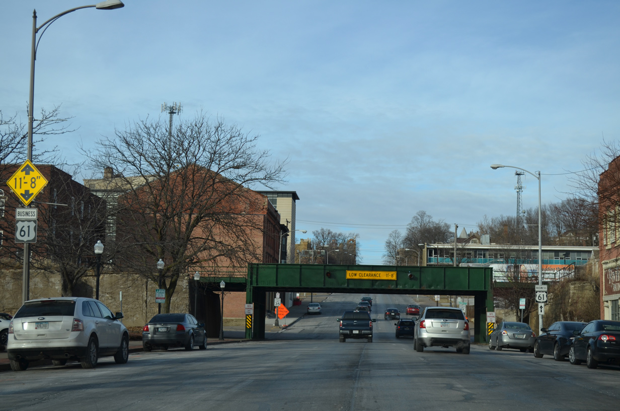
| Low clearance signs warn truckers of the forthcoming IAIS Railroad bridge at 5th Street. The southbound span is significantly more marked due to a long history of incidents with over height trucks striking the bridge. 01/01/15 |
|
| U.S. 61 Business trailblazer posted ahead of the IAIS Railroad bridge. The viaduct was constructed in 1902. 01/01/15 |
|
| The IAIS Railroad line veers west from the Government Bridge to parallel 5th Street to Fillmore Street. The line travels at-grade at Western Avenue, which is the over height truck detour route. 01/01/15 |
|
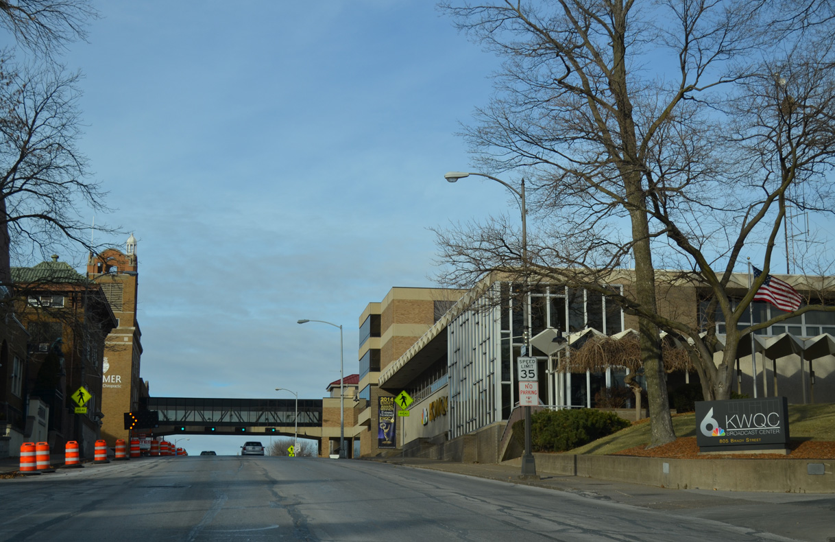
| U.S. 61 Business (Brady Street) north climbs onto the Mississippi River bluffs. The route crests near 10th Street by the KWQC broadcast center. 01/01/15 |
|
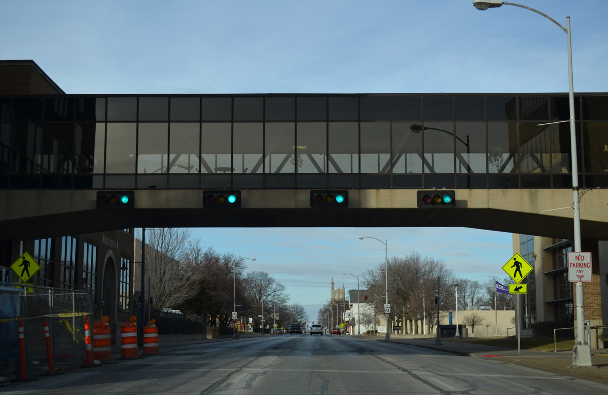
| An enclosed pedestrian bridge spans Brady Street at the Palmer College of Chiropractic. A signalized crosswalk passes below. 01/01/15 |
|
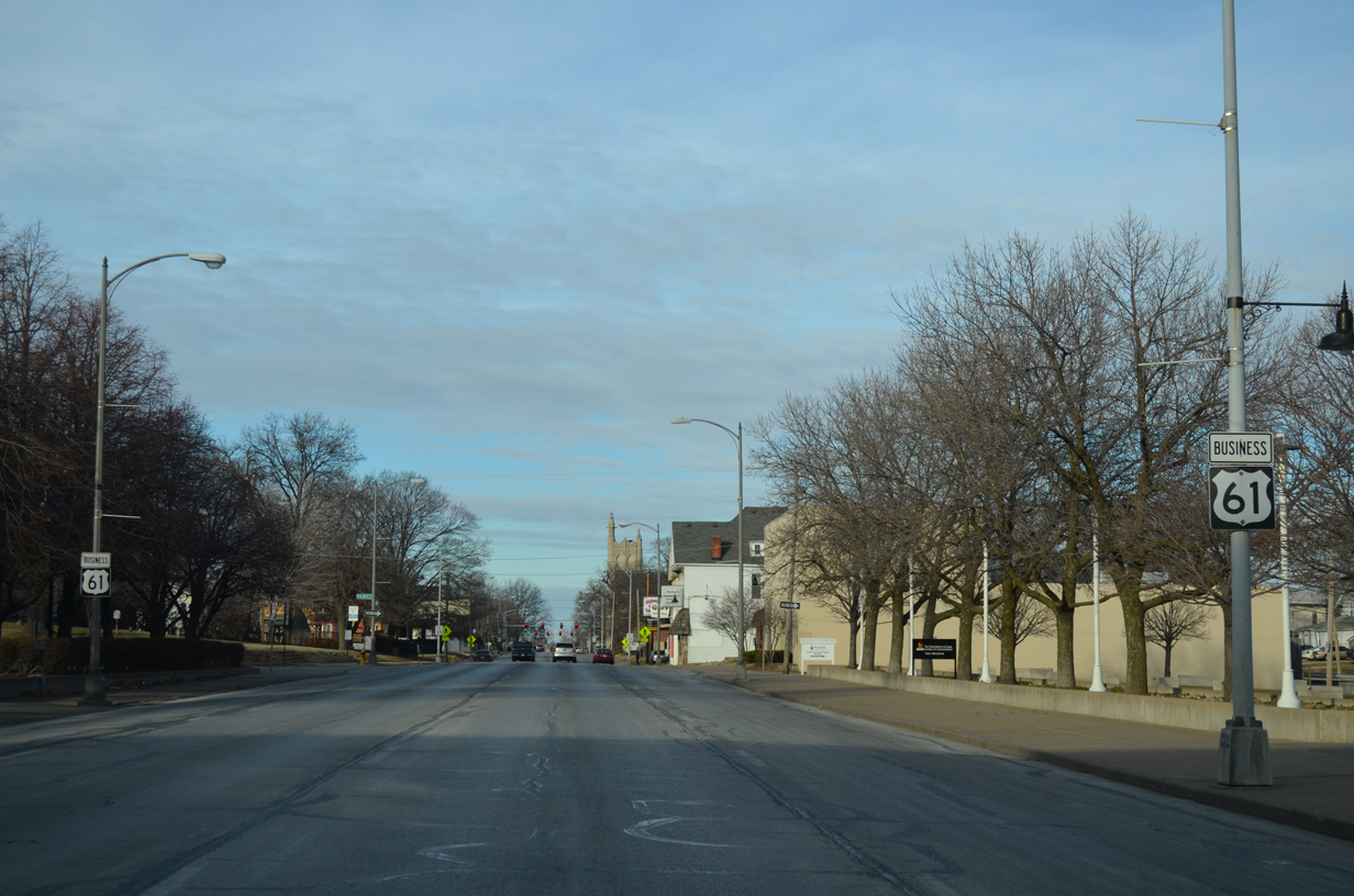
| Another reassurance marker for U.S. 61 Business appears as Brady Street approaches Palmer Drive by the East Bluff Neighborhood. 01/01/15 |
|
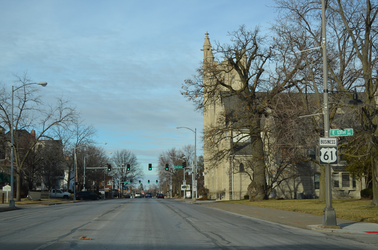
| A pair of U.S. 61 shields flank the staggered intersection of Brady and East 13th Streets. 01/01/15 |
|
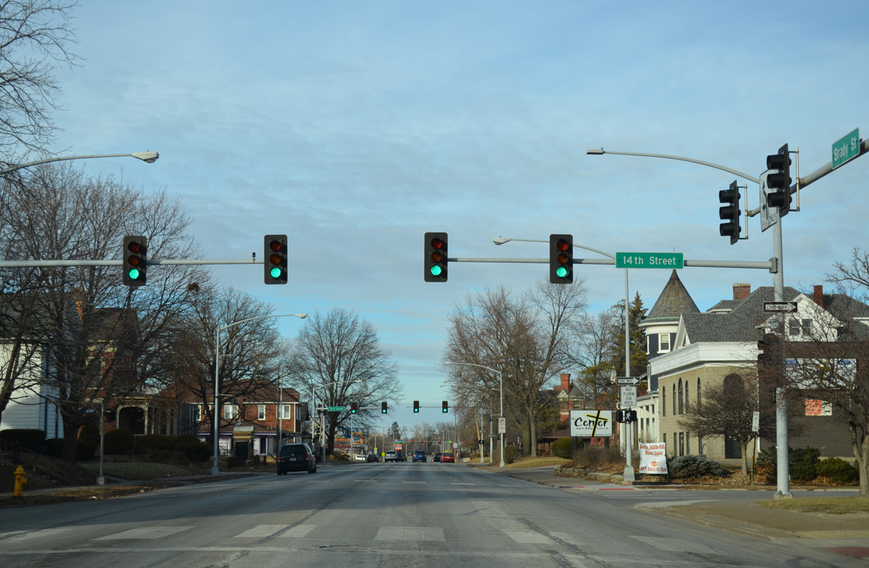
| 14th Street east forms a couplet with 15th Street across the East Bluff Neighborhood. 01/01/15 |
|
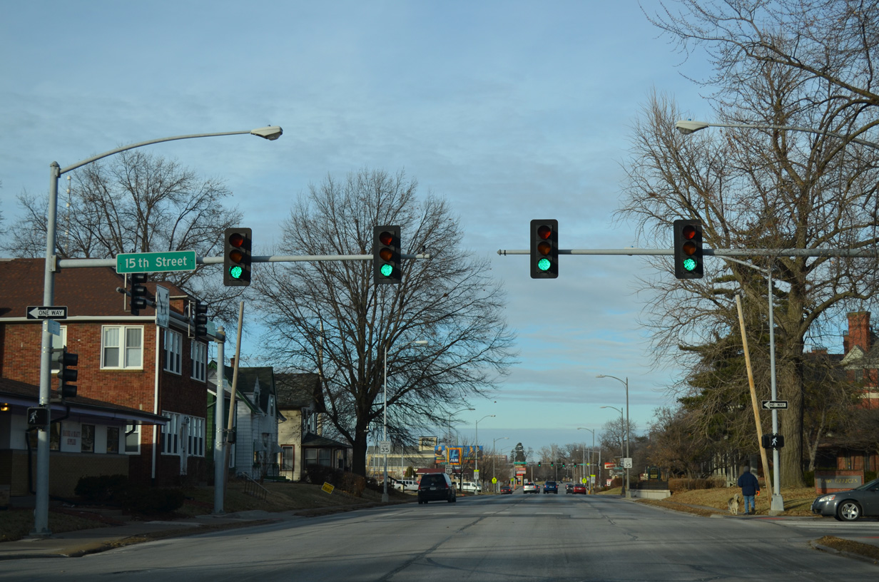
| Drivers taking 15th Street west across Brady Street dog leg across U.S. 61 Business as the street shifts slightly south to Harrison Street (U.S. 61 Business south). 01/01/15 |
|
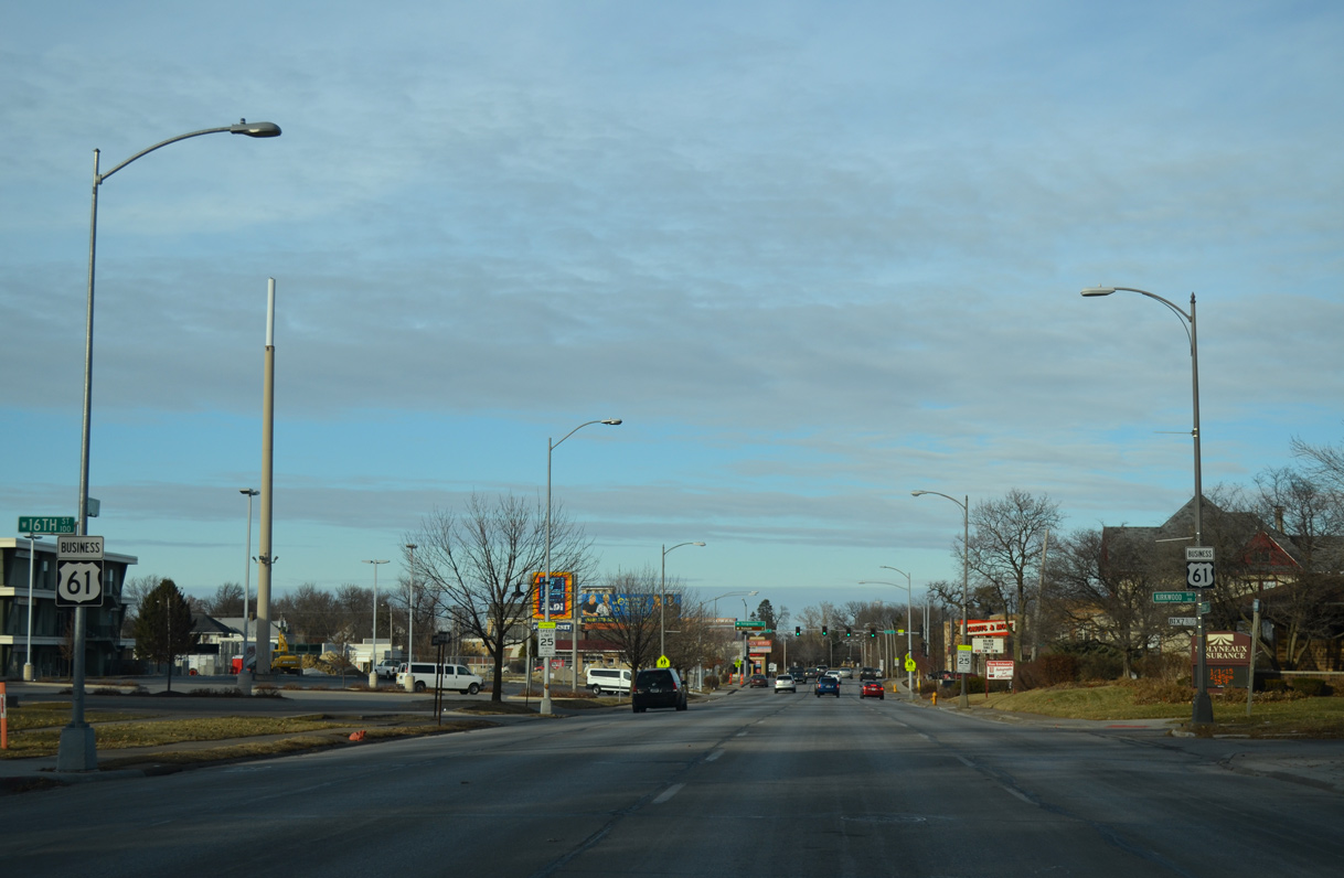
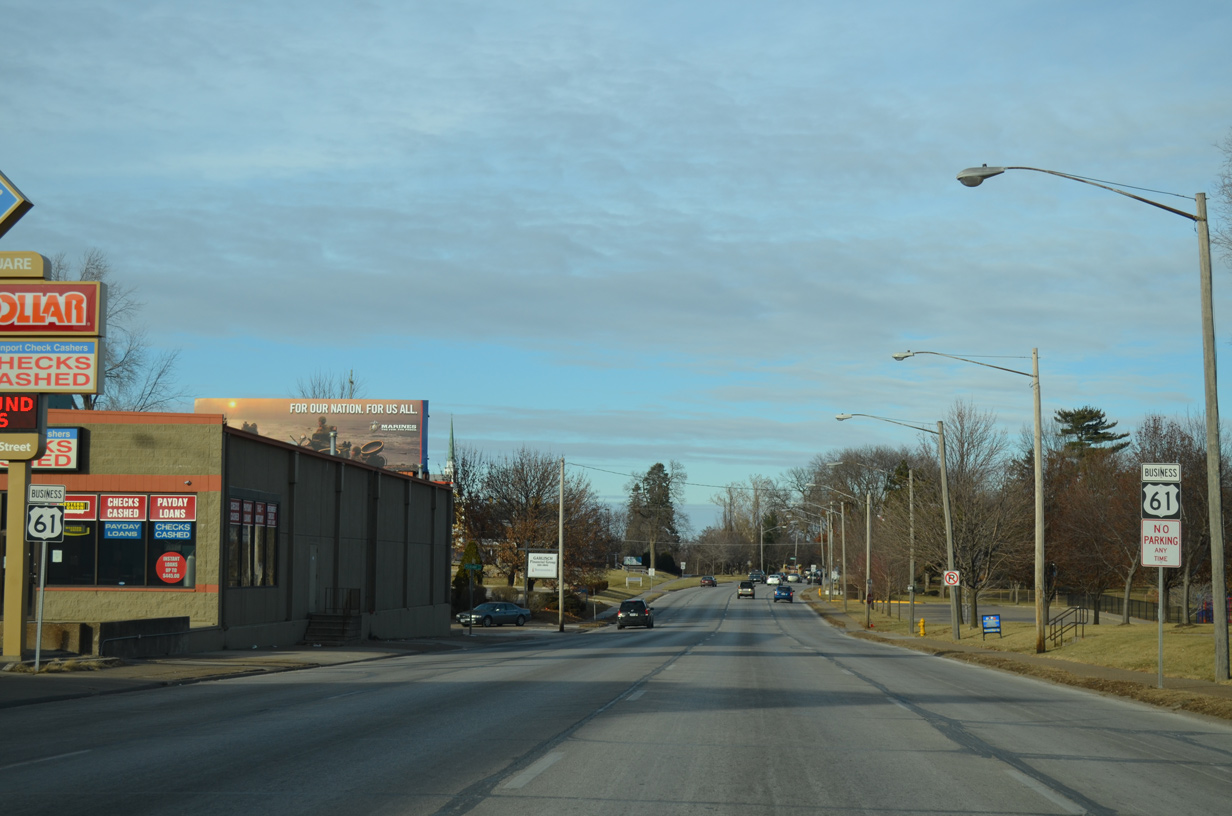
| U.S. 61 Business remains well signed along Brady Street north at the staggered intersection with 16th Street west and Kirkwood Boulevard east. 01/01/15 |
|
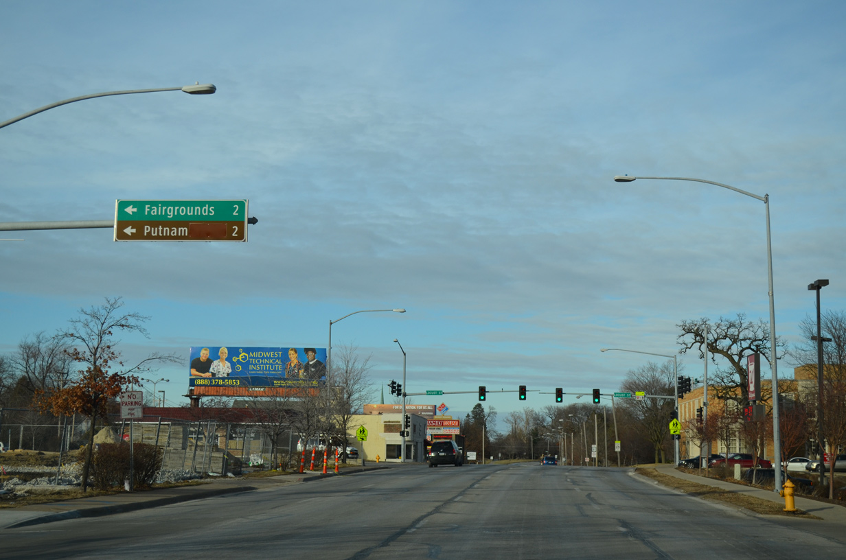
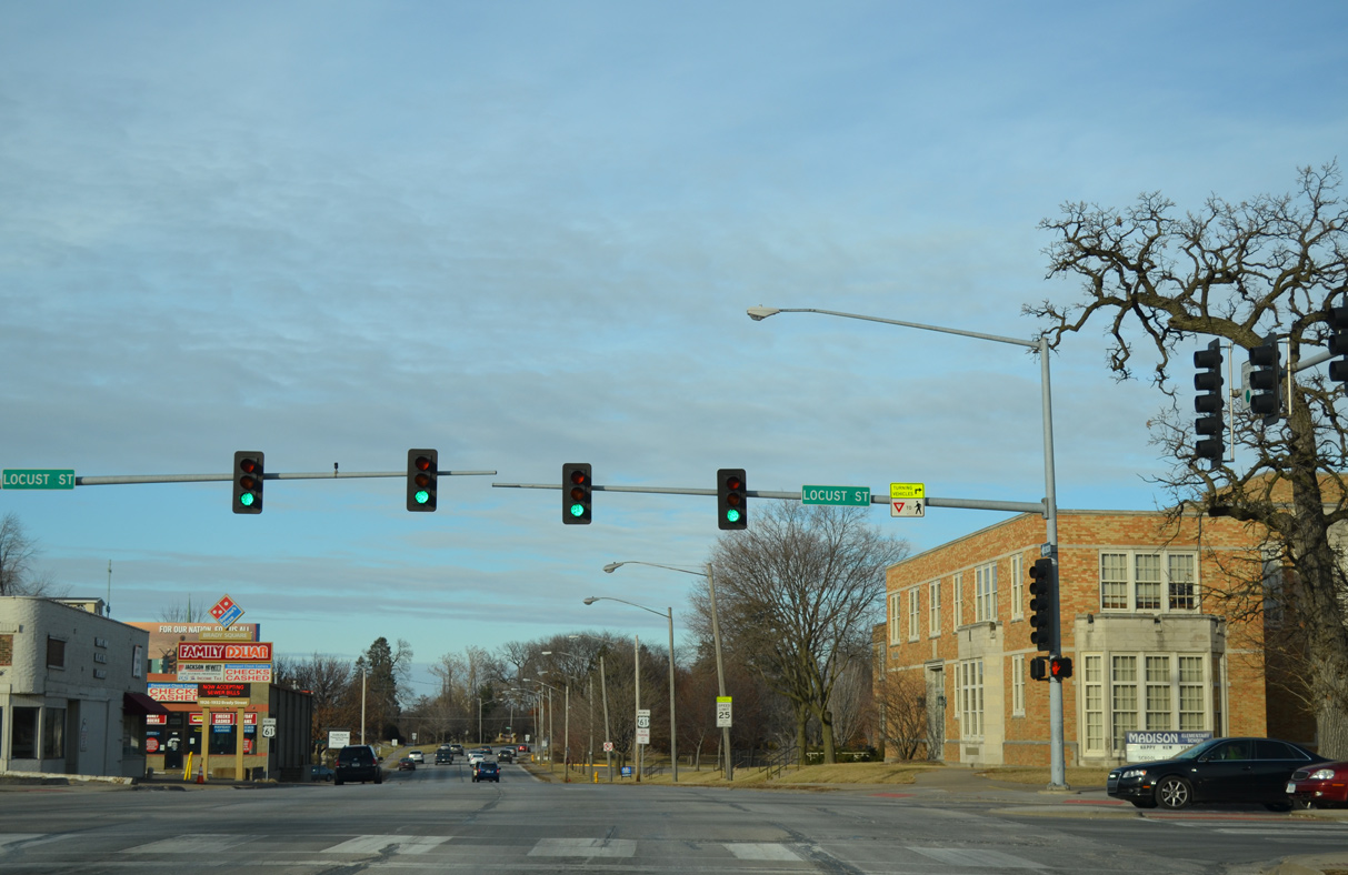
| An overhead distance sign directs motorists onto forthcoming Locust Street west for the Mississippi Valley Fairgrounds. Locust Street west joins U.S. 61 Business with the Glen Armil and Historic Washington Street Neighborhoods as well. 01/01/15 |
|
| Locust Street is a historic alignment of U.S. 6 west to Hickory Grove Road and east to Bridge Avenue. Locust Street provides a through route to Middle Road in Bettendorf otherwise. 01/01/15 |
|
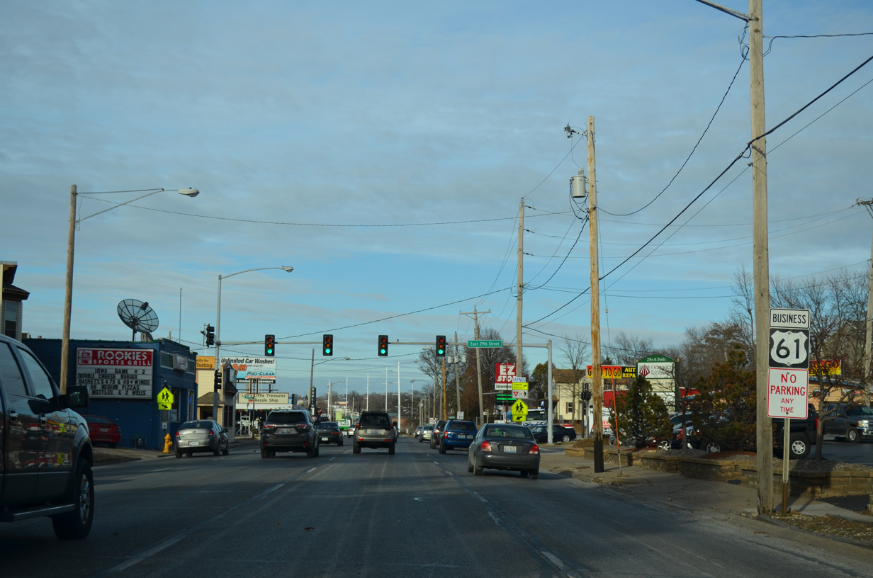
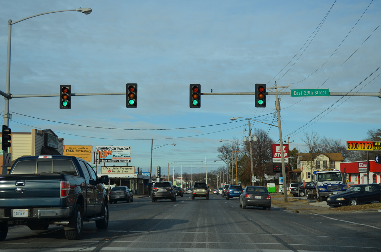
| Beyond Locust Street, the numbered street system of Davenport ceases until 29th Street. 01/01/15 |
|
| U.S. 61 Business (Brady Street) north angles through the Vander Veer Historic Neighborhood ahead of Lombard Street. 01/01/15 |
|
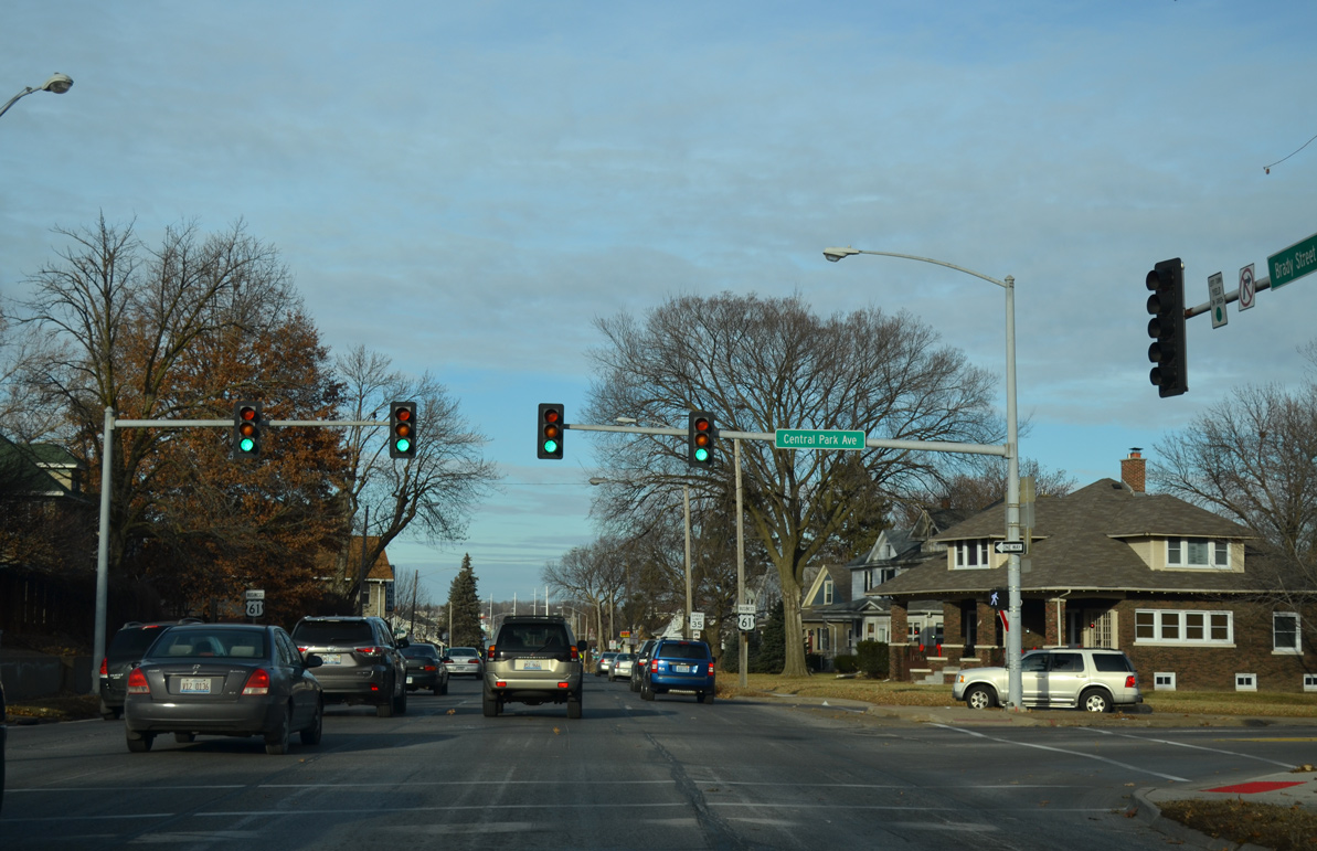
| Brady Street travels along the east side of Vander Veer Botanical Park and Conservatory between Lombard Street and Central Park Avenue. The 33-acre park was established in 1885. 01/01/15 |
|
| Central Park Avenue heads west to Norwood Park and the Glen Armil Neighborhood and east across the Davenport street grid to a dead end after Esplanade Avenue. 01/01/15 |
|
| Four lanes of Brady Street north continue past Central Park Avenue. 01/01/15 |
|
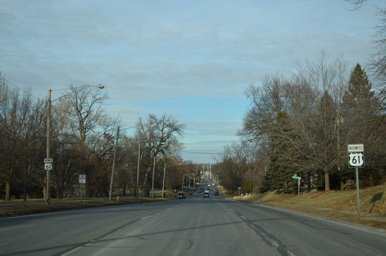
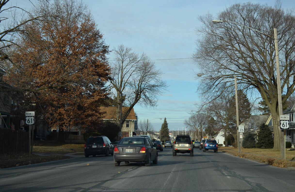
| U.S. 61 Business transitions into a commercial boulevard through the Duck Creek Corners community. 01/01/15 |
|
| 29th Street east links Brady Street with Garfield Park and Eastern Avenue. 01/01/15 |
|
| Northbound shield assembly for U.S. 61 Business posted at 31st Street. 01/01/15 |
|
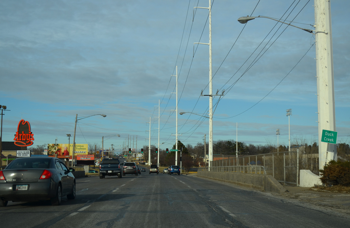
| U.S. 61 Business (Brady Street) north leaves the Davenport street grid at Duck Creek. 01/01/15 |
|
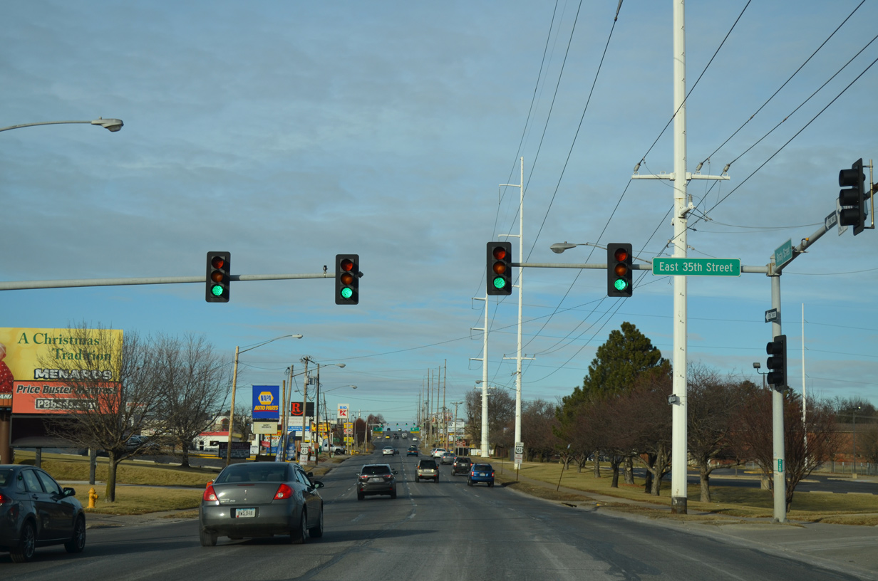
| 35th Street stems west from U.S. 61 Business to parallel Duck Creek through industrial areas to Marquette Street. Brady Street Stadium resides just to the east of the signal with Brady Street. 01/01/15 |
|
| U.S. 61 Business south travels along Welcome Way, a third of a mile to the west, from the stretch of Brady Street north of Duck Creek. 01/01/15 |
|
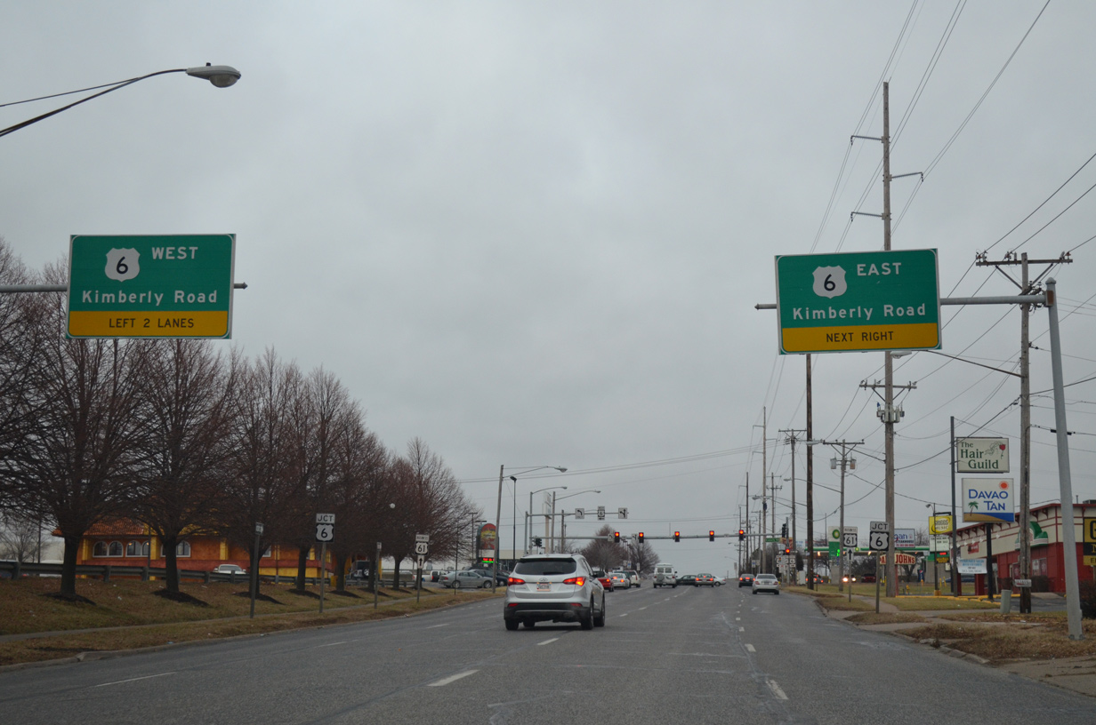
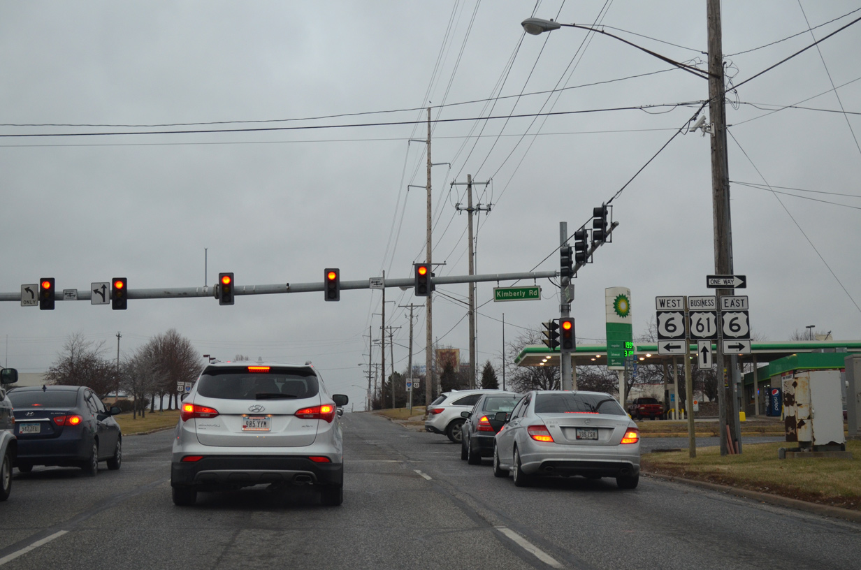
| Big box retail lines the west side of Brady Street to the intersection with U.S. 6 (Kimberly Road). U.S. 6 comprises a busy commercial arterial west to NorthPark Mall and east to Bettendorf. 12/27/14 |
|
| Traveling 320 miles across the Hawkeye State, U.S. 6 mostly acts as a local route to Interstate 80. The stretch along Kimberly Road is no exception, as it U.S. 6 crosses the city from I-280 to the Iowa-Illinois Memorial Bridge (I-74) south into Moline, Illinois. 01/01/15 |
|
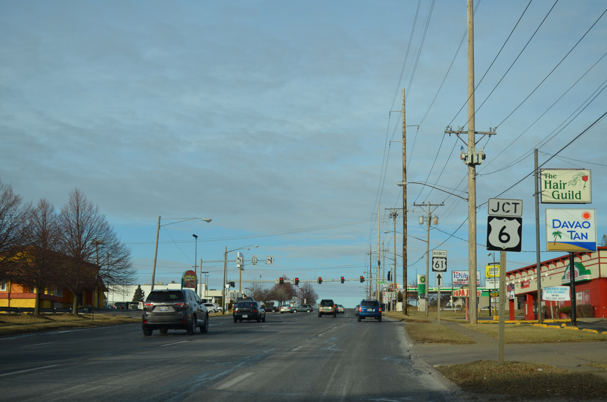
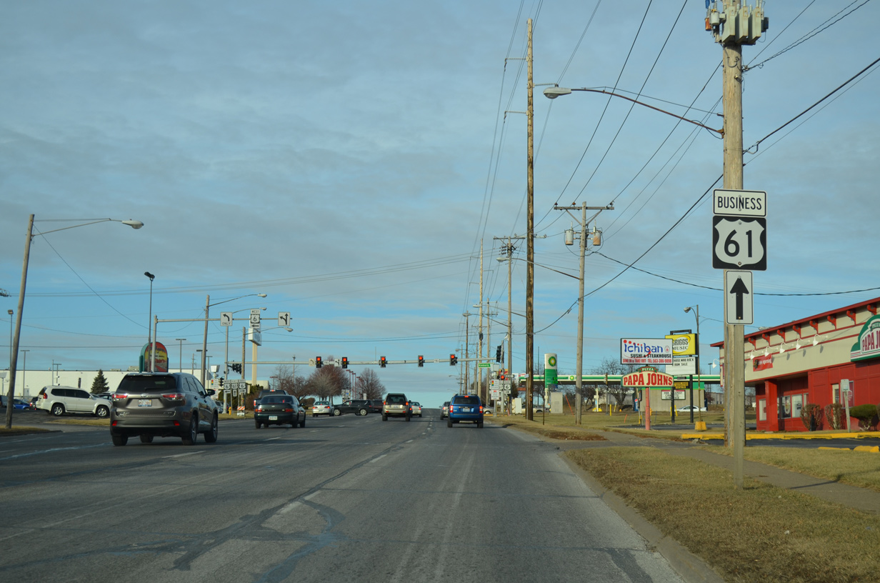
| U.S. 61 Business trailblazer posted ahead of U.S. 6. U.S. 6 east turns south alongside I-74 east in 2.3 miles while Brady Street enters the interchange with Interstate 80 in 2.1 miles. 01/01/15 |
|
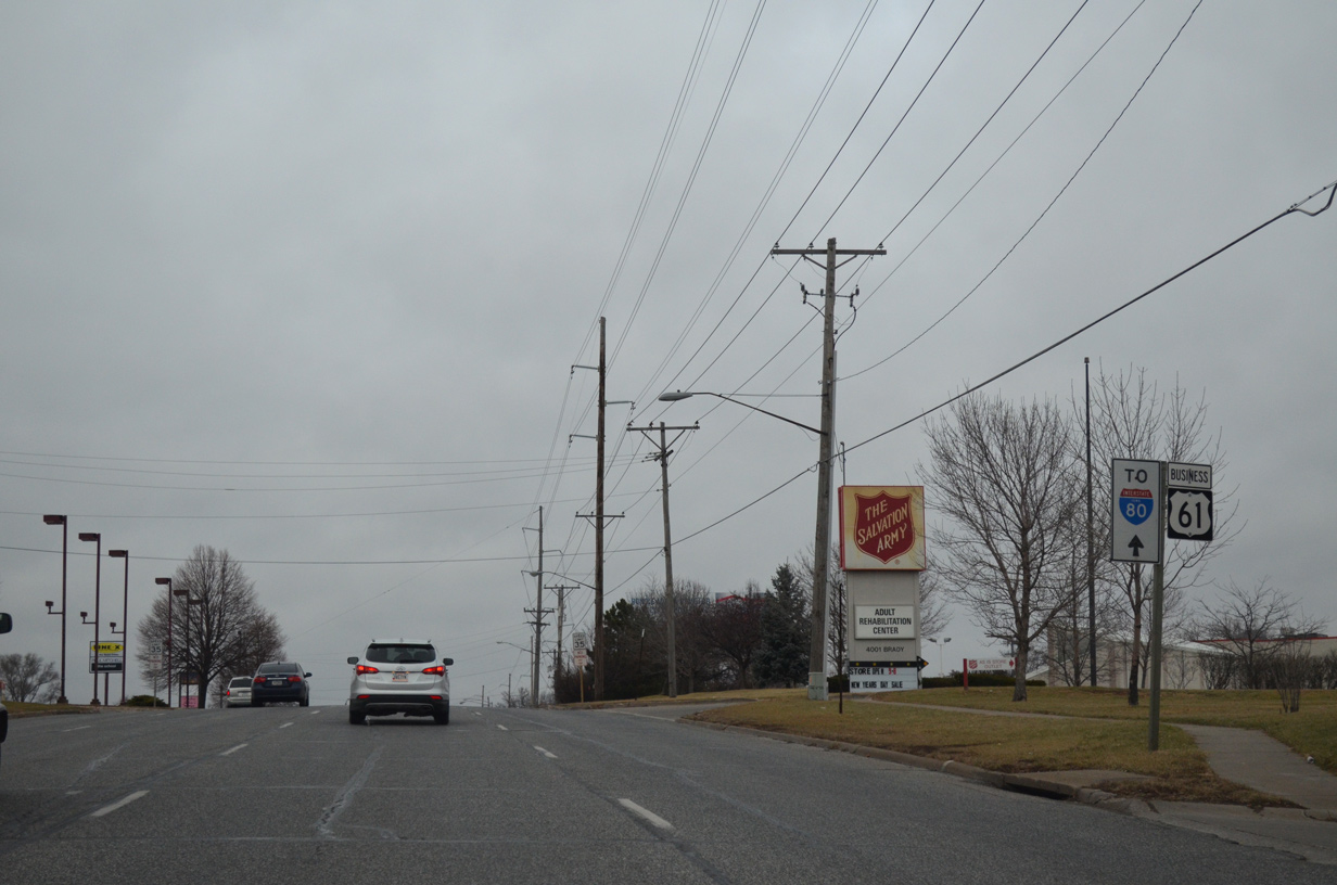
| Kimberly Road was dedicated on December 14, 1936 as the new alignment for U.S. 6. The road was constructed a bypass route to Downtown through the northern section of Davenport at a cost of $500,000. The highway was named after Iowa State Senator David W. Kimberly, who served in the state Senate from 1918 to his death in 1937. Kimberly lived in Davenport.1 12/27/14 |
|
| The couplet of Brady Street north and Welcome Way south consists of a commercial arterial to their merge at Goose Creek. 12/27/14 |
|
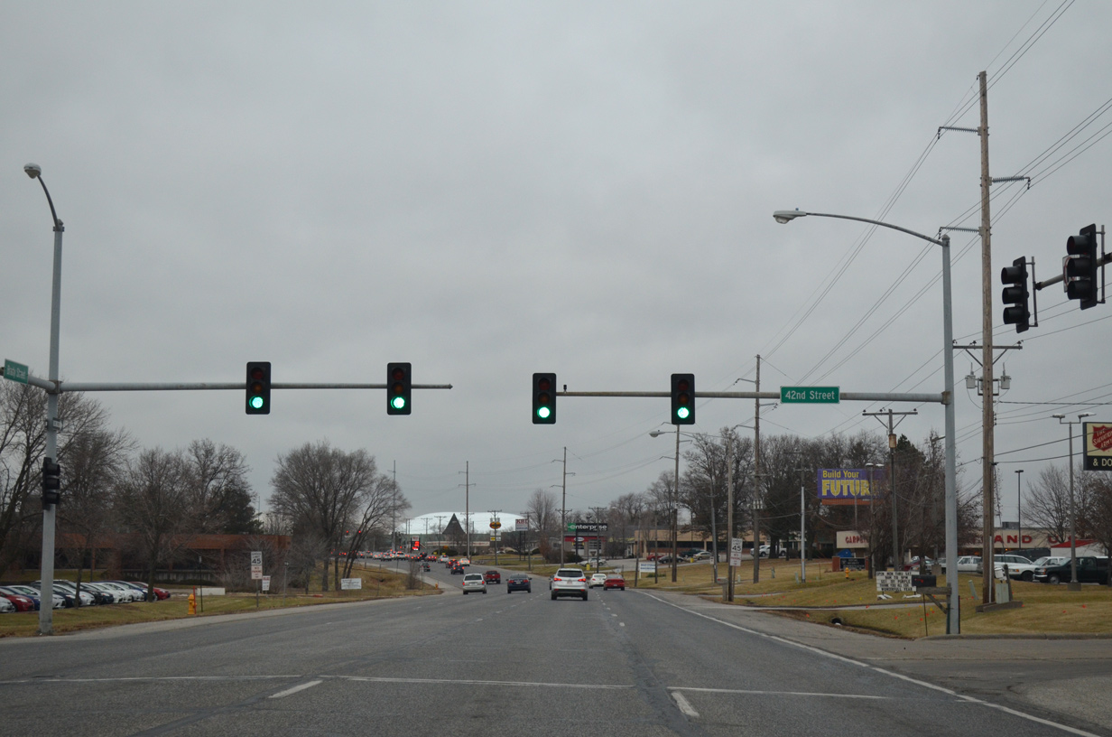
| 42nd Street is a connector linking U.S. 61 Business with NorthPark Mall. Opened in 1973, NorthPark Mall lies along the west side of Welcome Way. 12/27/14 |
|
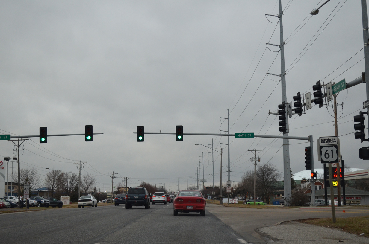
| 46th Street runs west from an industrial park area to intersect Brady Street en route to number of subdivisions and Slattery Park. 12/27/14 |
|
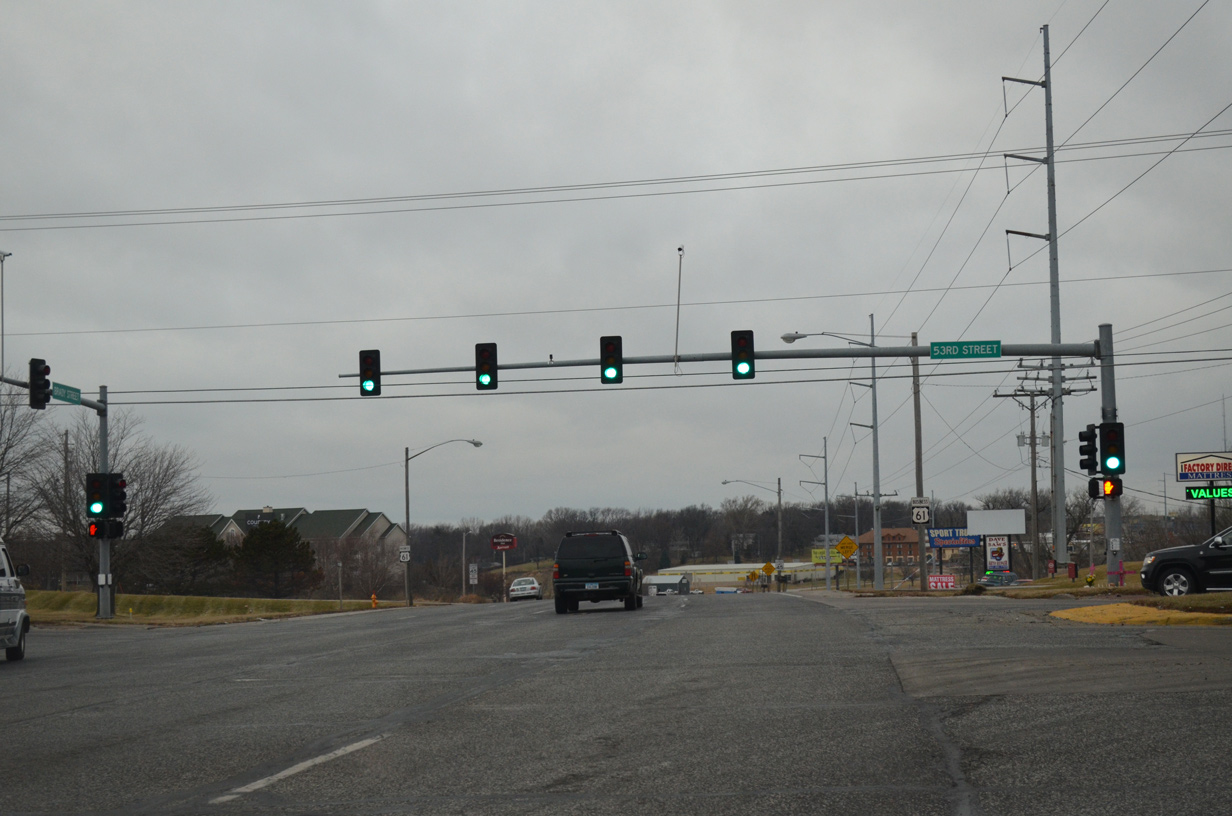
| The next traffic light along U.S. 61 Business (Brady Street) north operates 53rd Street. 53rd Street comprises a busy through street across northern Davenport and Bettendorf, as it connects with Interstate 74 by the Elmore Avenue commercial corridor. 12/27/14 |
|
| Advancing north from 53rd Street, Brady Street sees a lane drop as U.S. 61 Business transitions into a two-way arterial. 01/01/15 |
|
| U.S. 61 Business north lowers to cross Goose Creek. 01/01/15 |
|
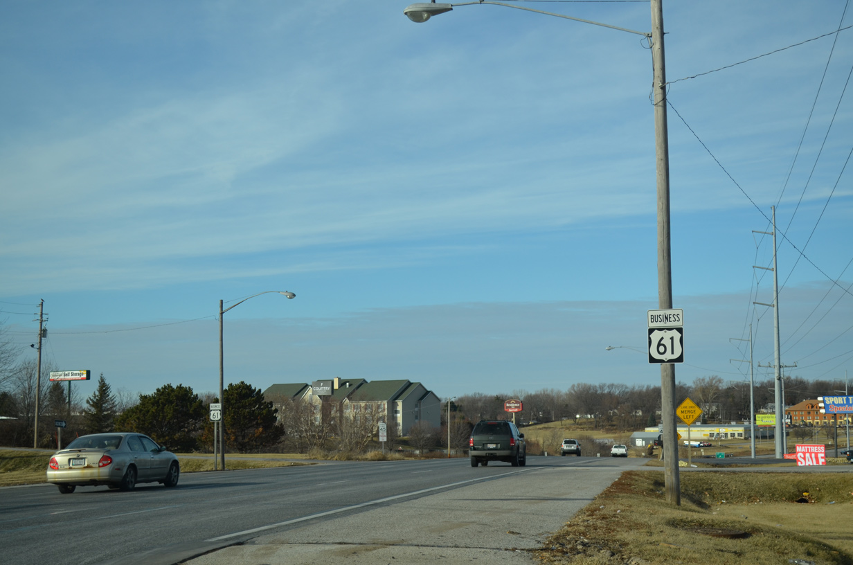
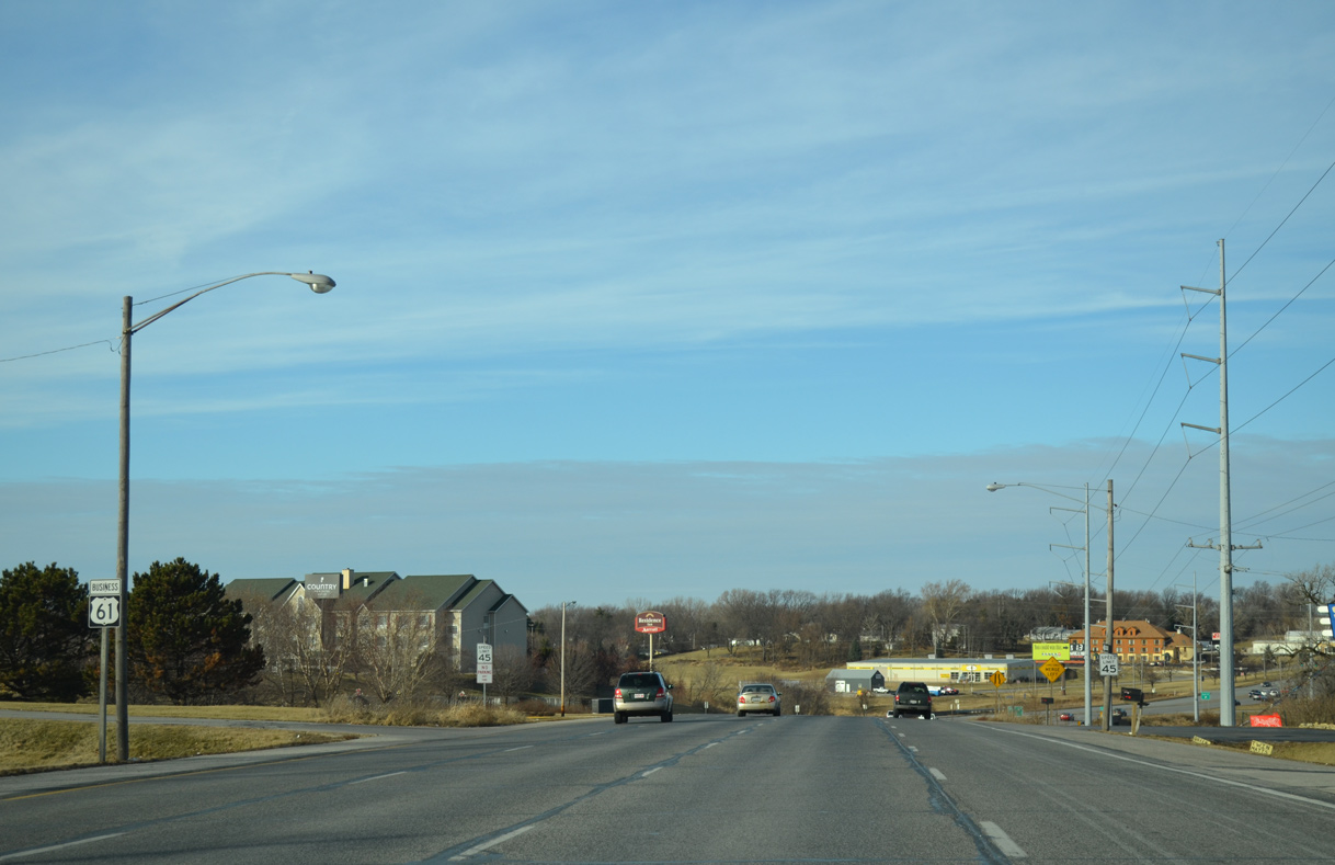
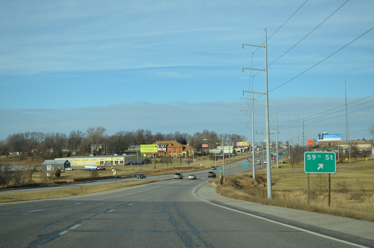
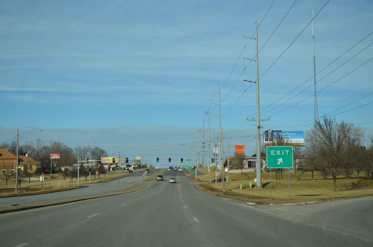
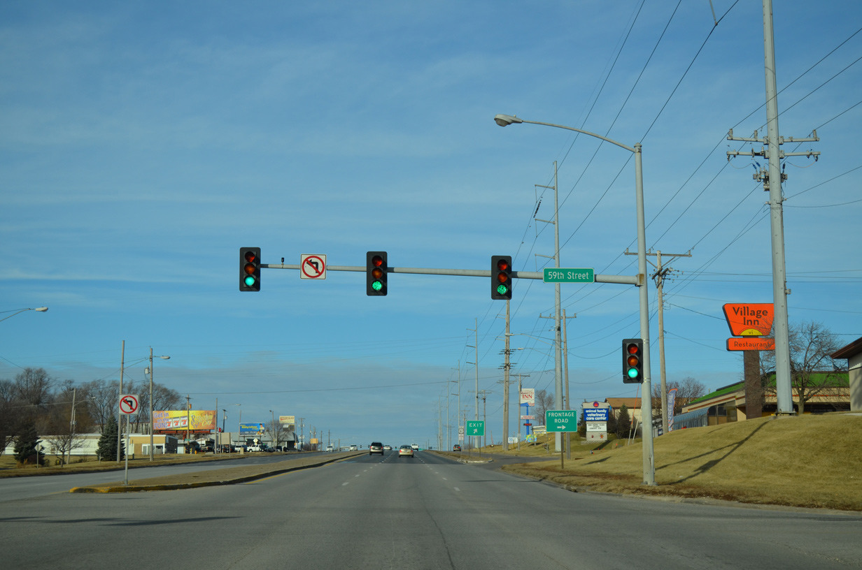
| A jughandle intersection facilitates movement between U.S. 61 Business (Brady Street) and 59th Street. 01/01/15 |
|
| All traffic bound for 59th Street west to the Goose Creek Heights neighborhood and east to the industrial area along Tremont Avenue departs from Brady Street north in unison. 01/01/15 |
|
| All turns from U.S. 61 Business at 59th Street are prohibited. 01/01/15 |
|
| A frontage road system accompanies Brady Street between 59th and 65th Streets. 01/01/15 |
|
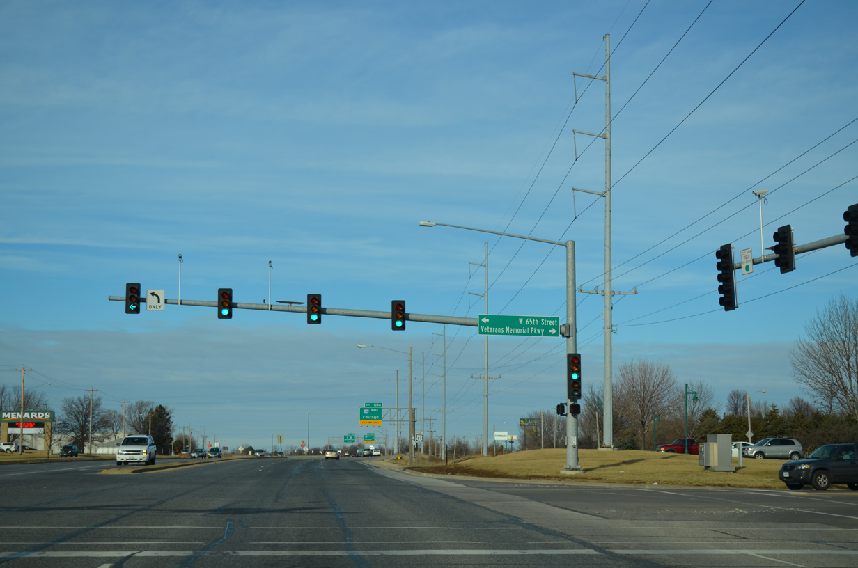
| Brady Street continues with six lanes uninterrupted to 65th Street west and Veterans Memorial Parkway east. 01/01/15 |
|
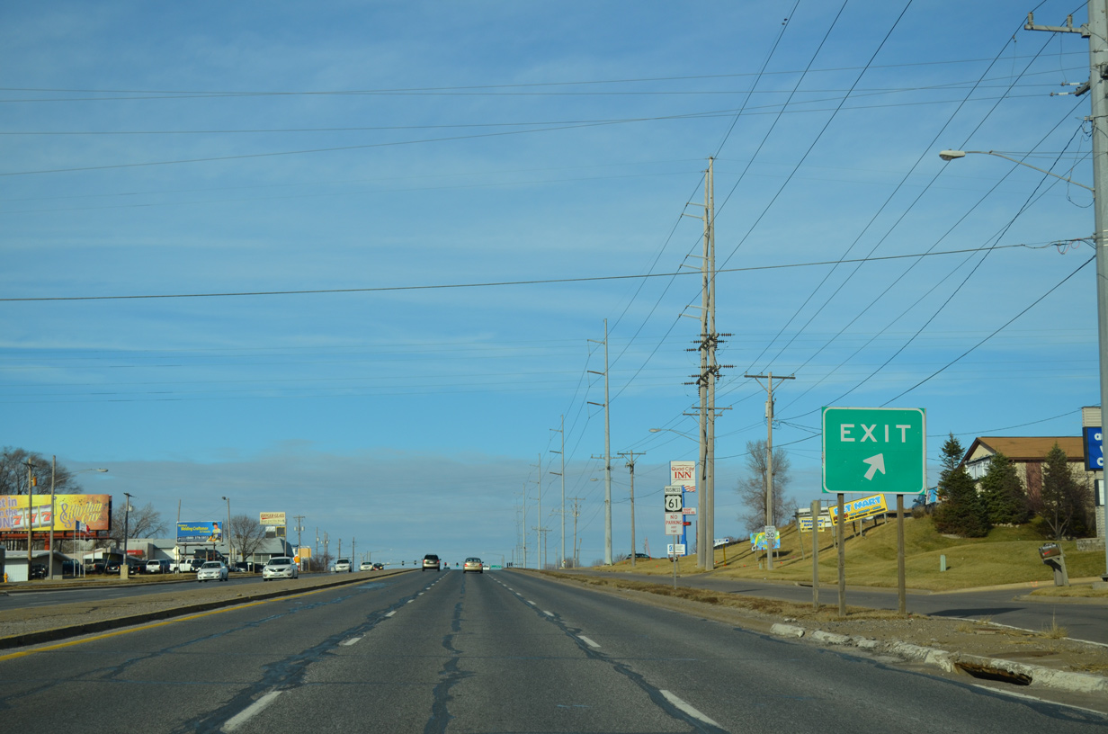
| 65th Street west spurs into the Goose Creek Heights neighborhood while Veterans Memorial Parkway comprises a newer arterial route serving development and the Rhythm City Casino to Utica Ridge Road in Bettendorf. 01/01/15 |
|
| Passing by the final reassurance marker for U.S. 61 Business north, Brady Street transitions into a limited access route to Interstate 80 and U.S. 61. 01/01/15 |
|
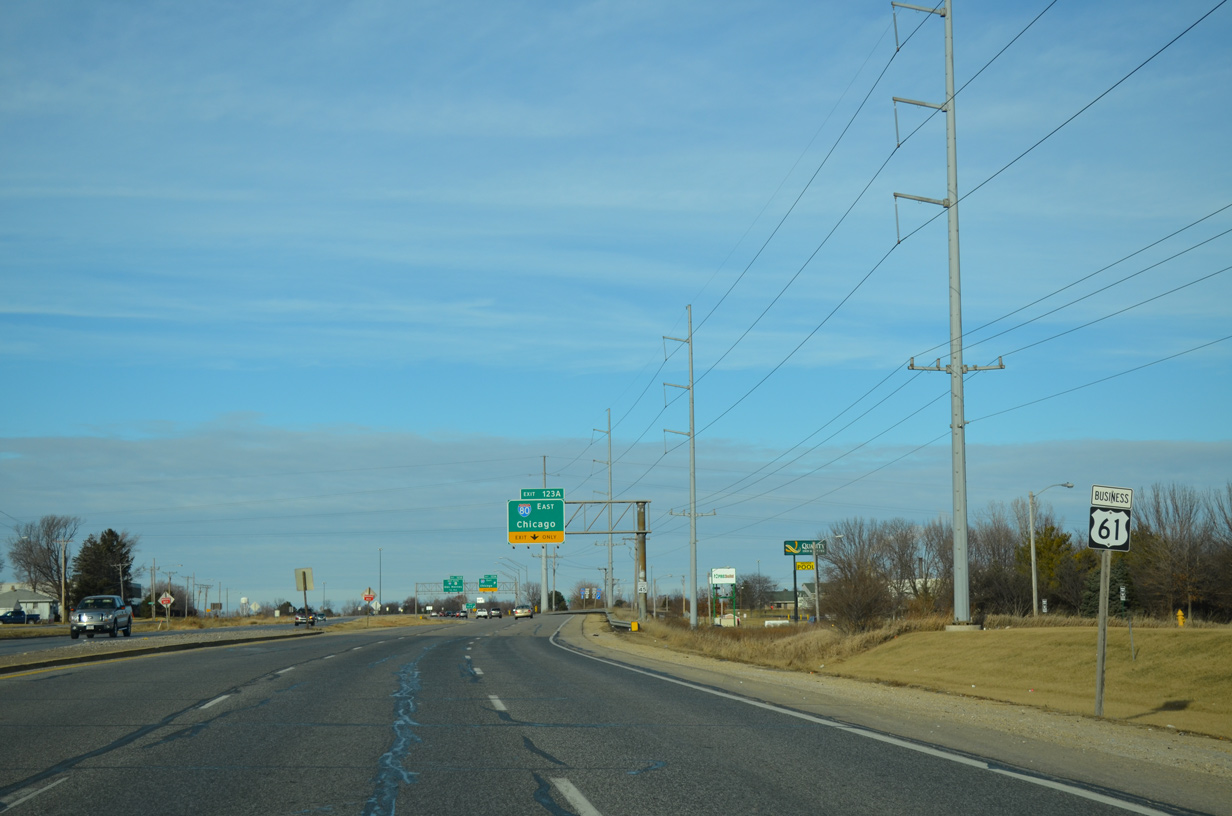
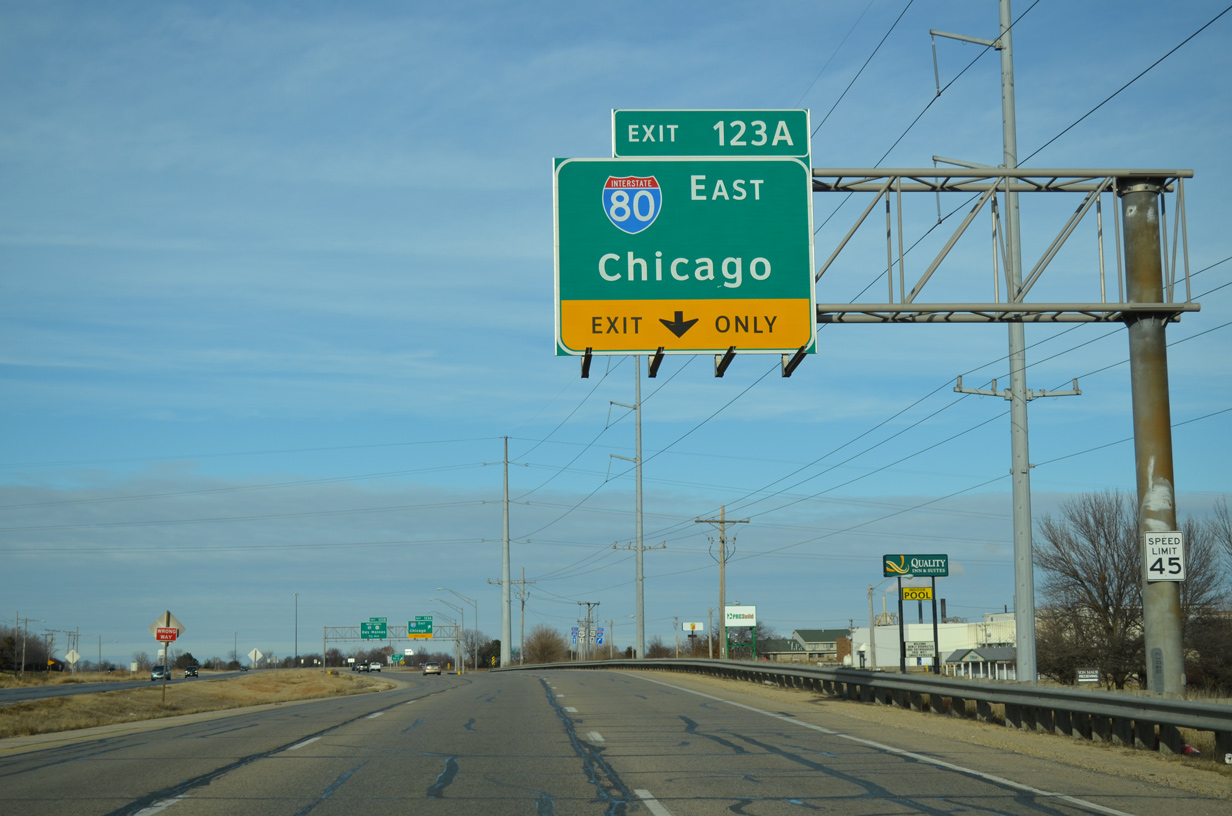
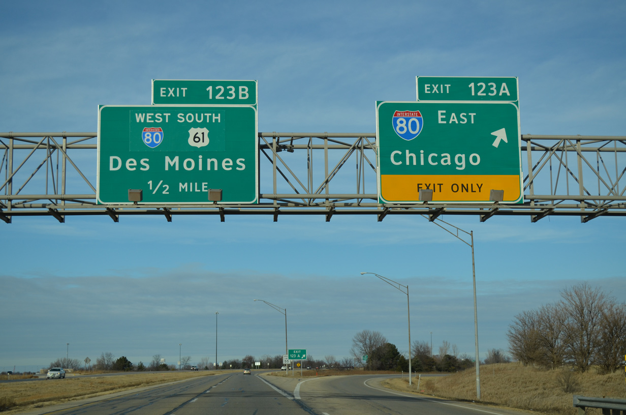
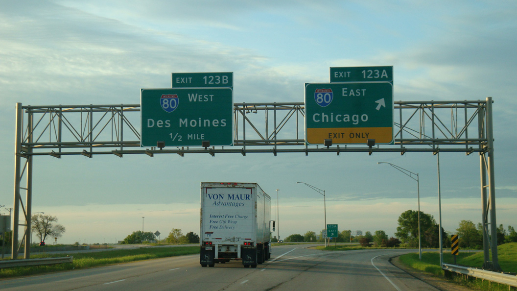
| A lane drop occurs at the eastbound off-ramp (Exit 123A) for Interstate 80. I-80 runs along the northern periphery of Davenport and Bettendorf to Le Claire before turning south to Rapids City, Illinois. 01/01/15 |
|
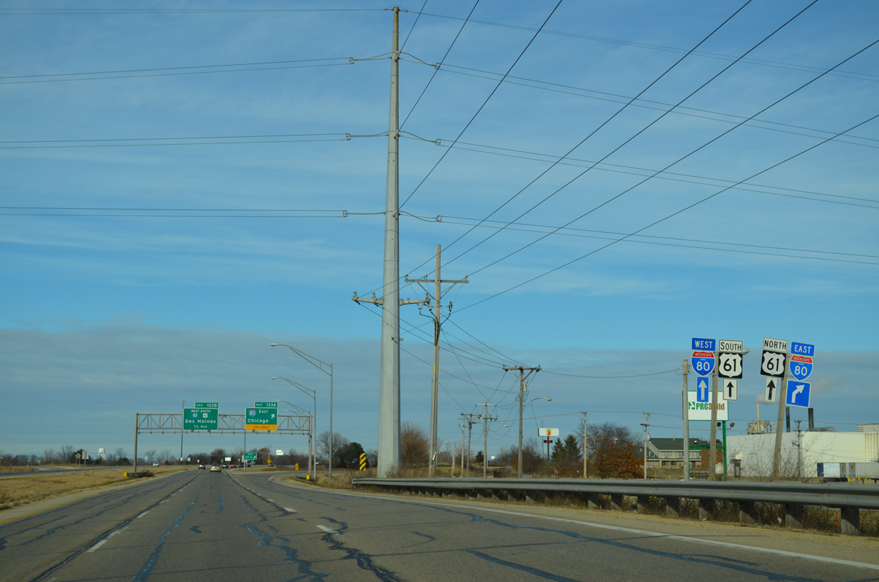
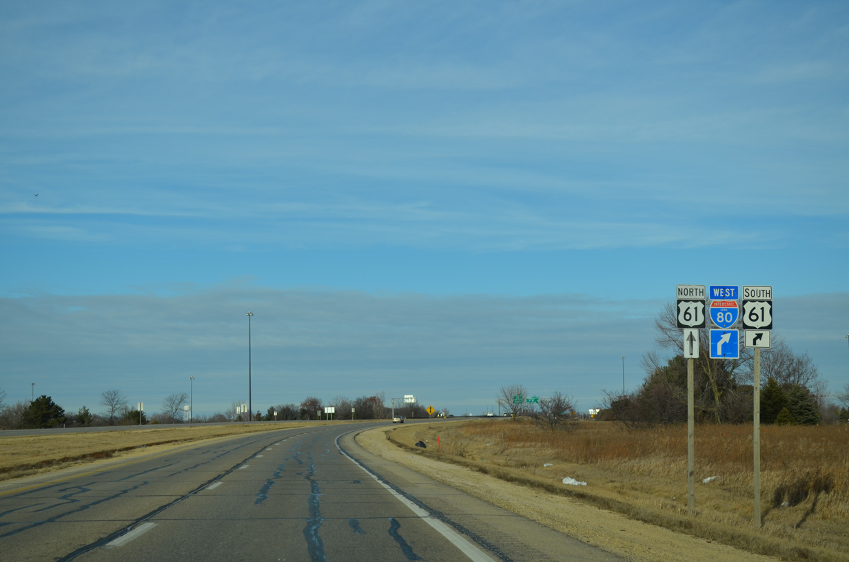
| U.S. 61 overlaps with Interstate 80 west to I-280 south. The route north overtakes Brady Street along a freeway north to Eldridge and De Witt. 01/01/15 |
|
| Interstate 80 travels a mostly rural route around the Quad Cities. Connections with Interstate 88 at East Moline lead motorists to Chicago while I-80 takes a more southerly route across the southern suburbs from Joliet to Lansing. 01/01/15 |
|
| U.S. 61 south and Interstate 80 west overlap for five miles. I-80 otherwise travels 49 miles to Iowa City. 01/01/15 |
|
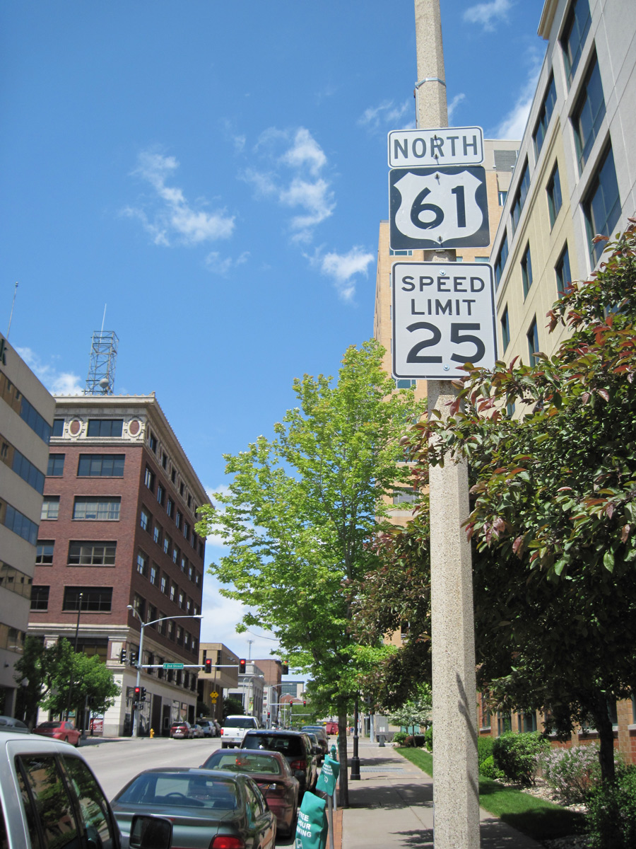
| Pushing north through the cloverleaf interchange with Interstate 80, U.S. 61 Business ends as U.S. 61 north loops onto the freeway. 01/01/15 |
|
| U.S. 61 north merges with U.S. 30 west at De Witt in 15 miles and reaches Dubuque in 63 miles. Interstate 80 ventures west 157 miles to the capital city. 01/01/15 |
|
| A second shield assembly for U.S. 67 south was posted at the West River Drive intersection with Brown Street for U.S. 67 south to Rock Island, Illinois. Note the embossed sign for the Centennial Bridge as well. This assembly was removed by 2011. 05/25/08 |
|
| U.S. 61 reassurance marker posted along Brady Street north after the split with U.S. 67 (East River Drive). 05/09/10 |
|
| Brady Street north at Interstate 80 before the relocation of U.S. 61 onto I-80 west. 05/23/08 |
Page Updated 06-04-2018.

 North
North
 North
North