
 East East |
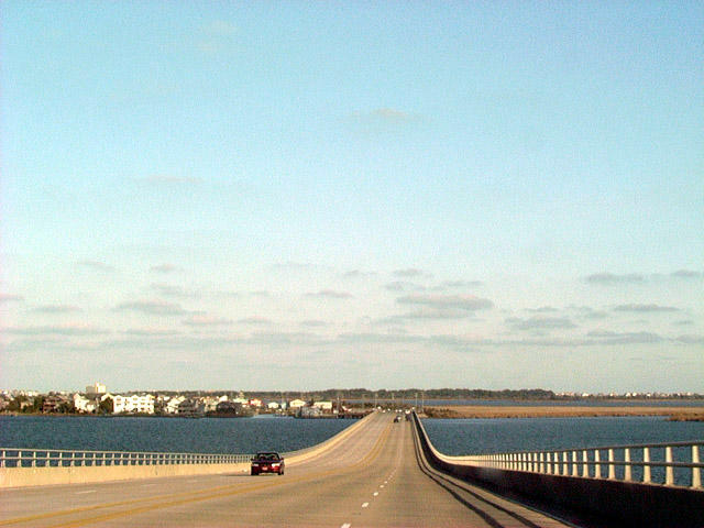 | U.S. 64 crosses Roanoke Sound east from Roanoke Island to Pond Island on the Washington Baum Bridge. The span was built in 1990. 12/16/01 |
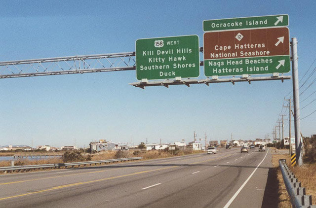 | U.S. 64 follows Virginia Dare Trail along a causeway across Cedar Island east to U.S. 158 (Croatan Highway) and NC 12 (Cape Hatteras National Park Road) at Whalebone. U.S. 64 ends opposite the east end of U.S. 158. 12/16/01 |
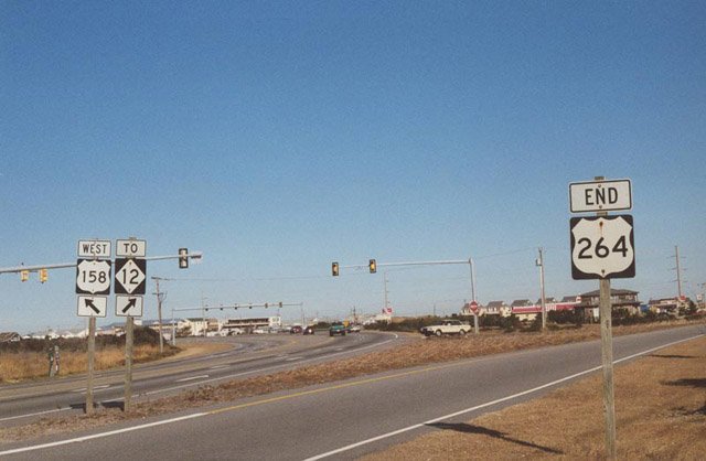 | Eastbound U.S. 64 directly transitions onto U.S. 158 (Croatan Highway) north to Nags Head. NC 12 (Virginia Dare Trail) ties into the end of U.S. 64/158 from the beaches to the east and Cape Hatteras National Seashore to the south. The U.S. 264 was truncated westward to Manns Harbor when the Virginia Dare Bridge opened to traffic in 2002. 12/26/00 |
Photo Credits:
12/26/00, 12/16/01 by AARoads
Connect with:
U.S. 158
Highway 12
Page Updated 07-13-2020.