|
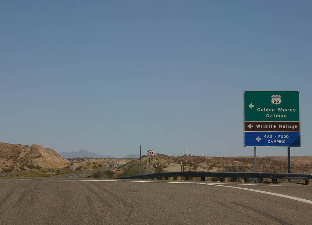
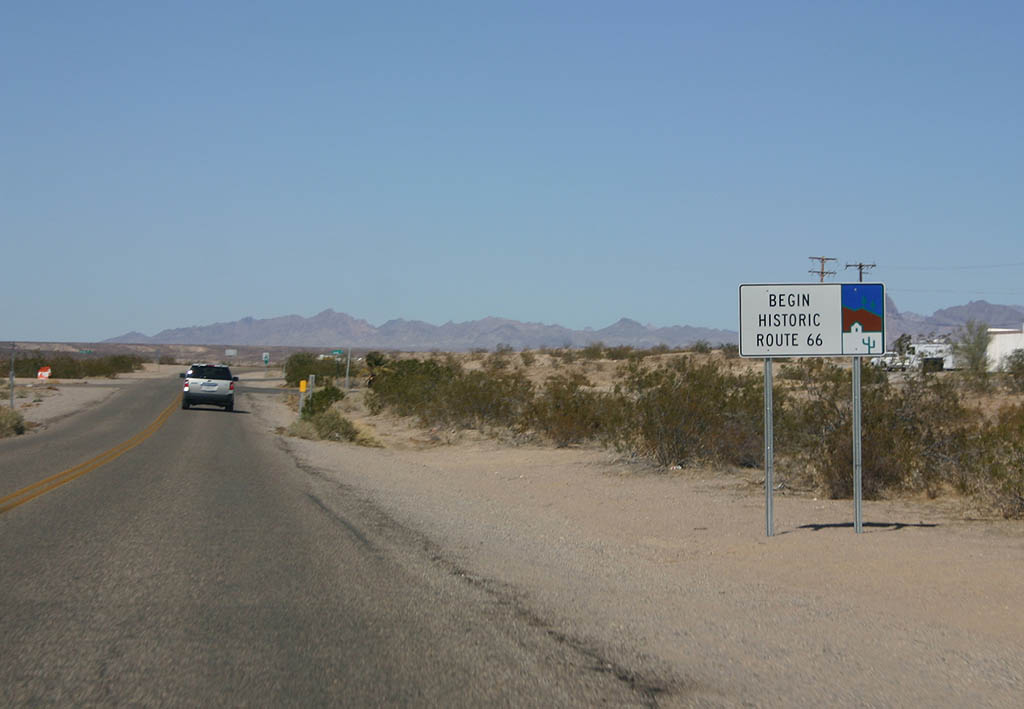
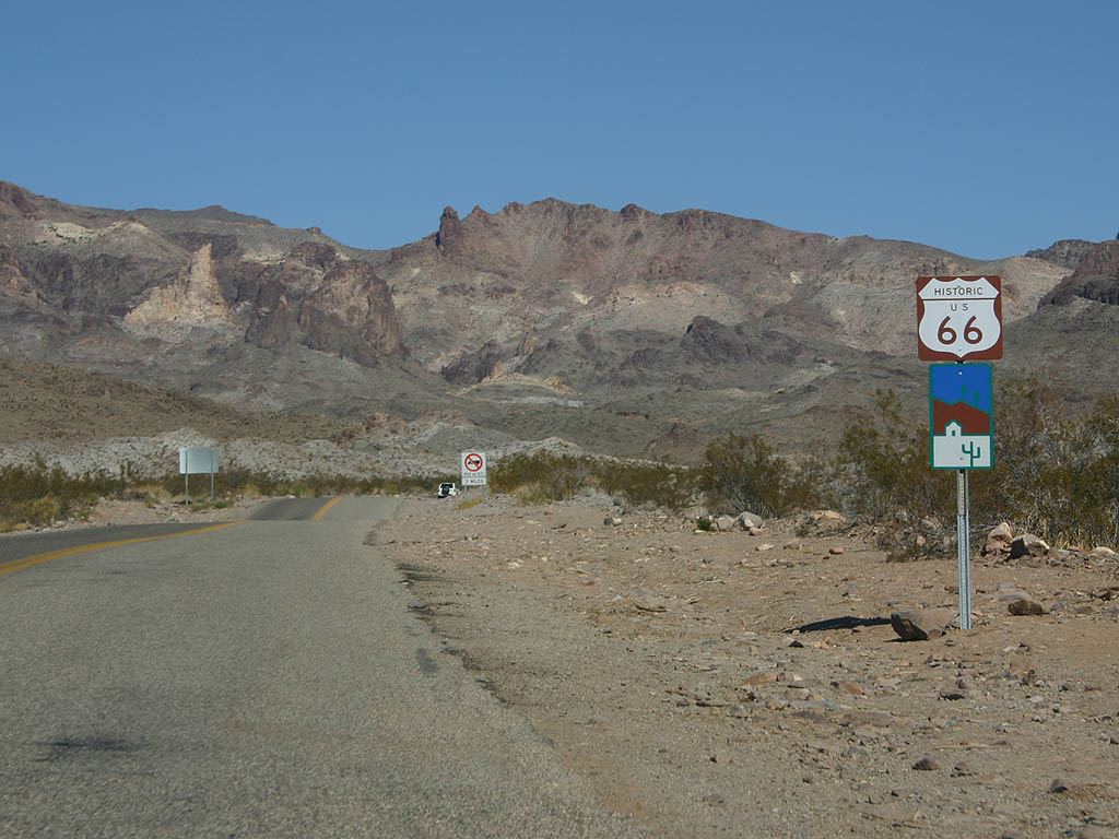
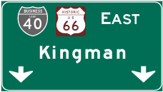
| Historic U.S. 66 in Arizona begins from Interstate 40 east at Exit 1 adjacent to the Colorado River at Topock. 03/03/07 |
|
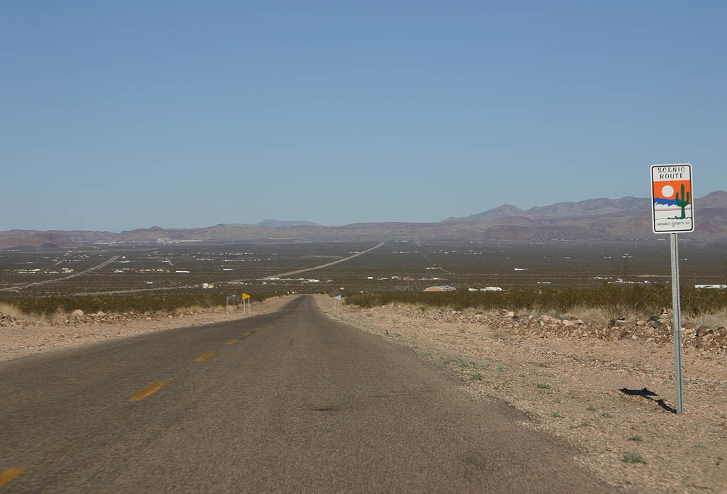
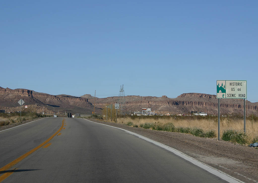
| Arizona has an active program to sign historic route 66, and this is the first shield posted inside the Grand Canyon State. Historic U.S. 66 is marked as a scenic road throughout the state. 03/03/07 |
|
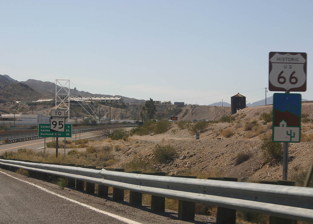
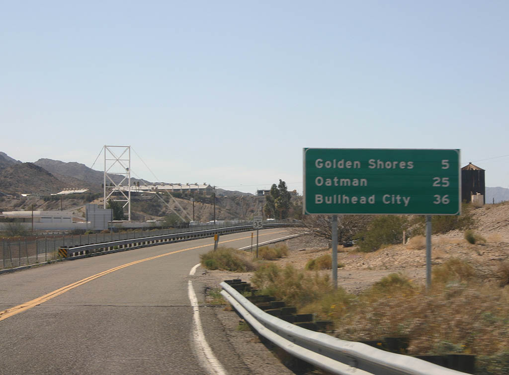
| Advance signage for Golden Shores, Oatman and Bullhead City. This sign dates back to when this part of Historic U.S. 66 (Oatman-Topock Highway) was part of SR 95. 03/03/07 |
|
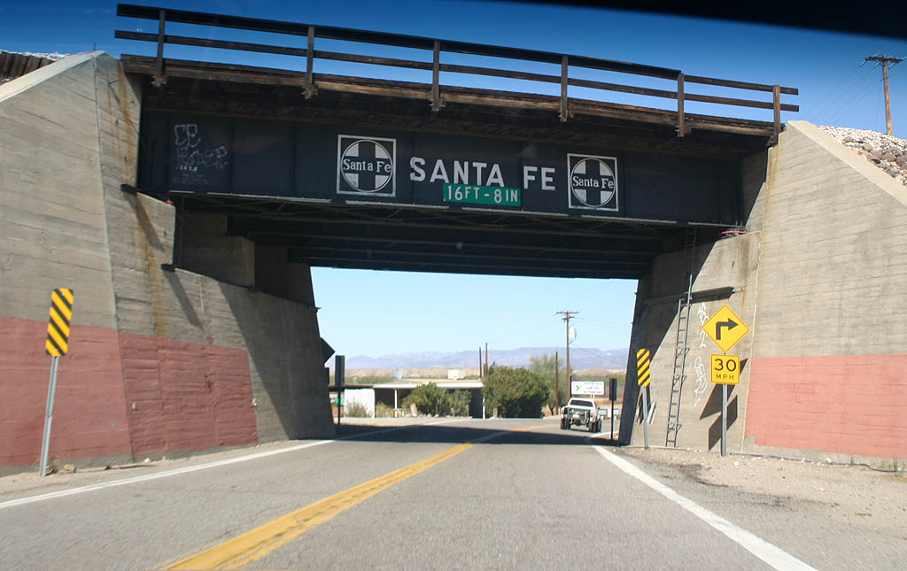
| Dating from 1944, this span is a classic Santa Fe Railroad underpass. 03/03/07 |
|
| Historic U.S. 66 travels around the edges of Topock Marsh, at grade with no bridged wash crossings. 03/03/07 |
|
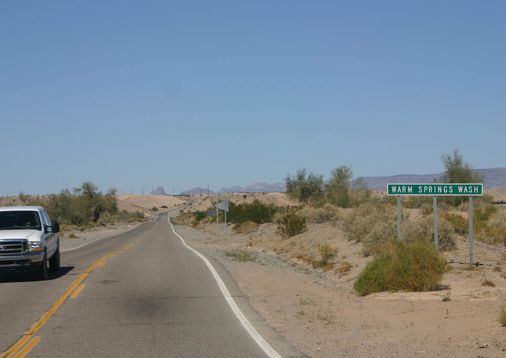
| Historic U.S. 66 crosses Warm Springs Wash. Bypassed in 1952, this section of U.S. 66 retains the original 1930s road design. 03/03/07 |
|
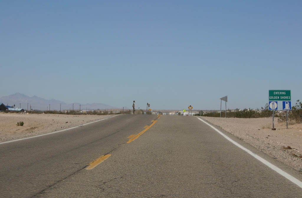
| Historic U.S. 66 enters the unincorporated town of Golden Shores. 03/03/07 |
|
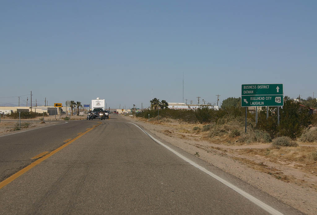
| Historic U.S. 66 continues north to reach Oatman, while CR 1 heads northwest toward SR 95. Historic U.S. 66 north to CR 1, and CR 1 to Courtwright Road were formerly part of SR 95, and relinquished from state maintenance due to property issues. 03/03/07 |
|
| Historic U.S. 66 officially begins as a designated scenic highway north from Mesa Drive at Golden Shores. This distinction predates the extension of the scenic road designation south to Interstate 40. 03/03/07 |
|
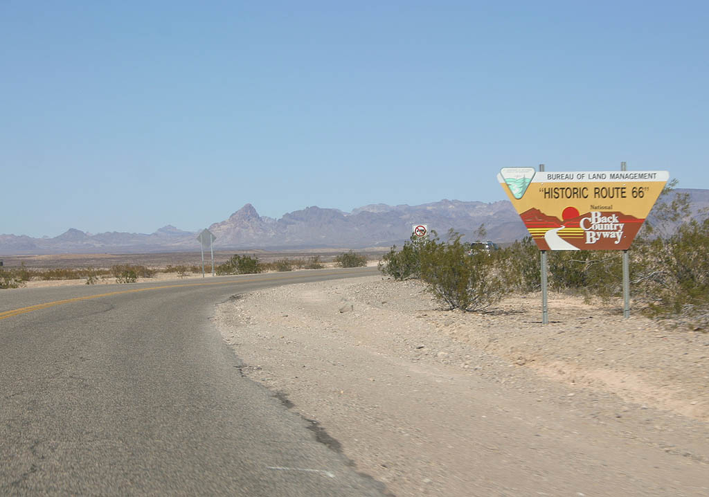
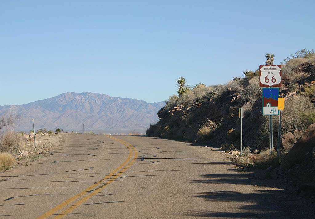
| Historic U.S. 66 is a Backcountry Byway. This sign stands just north of Casa Grande Drive at Golden Shores. 03/03/07 |
|
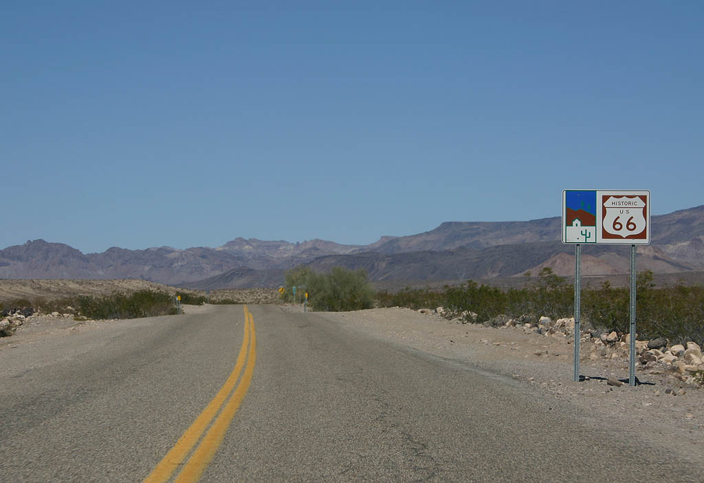
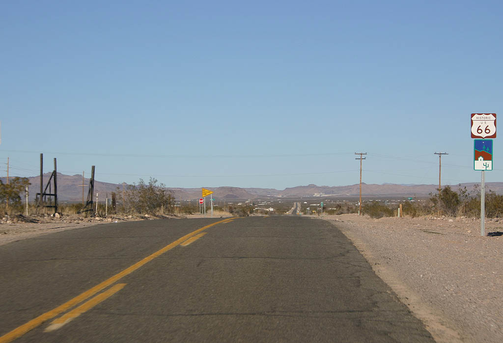
| This style of sign, with both the scenic road marker and Historic U.S. 66, is common between Golden Shores and Oatman. 03/03/07 |
|
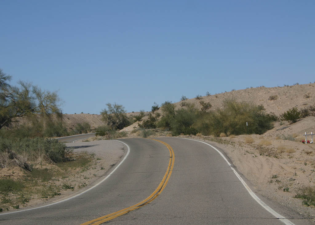
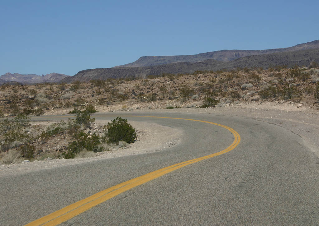
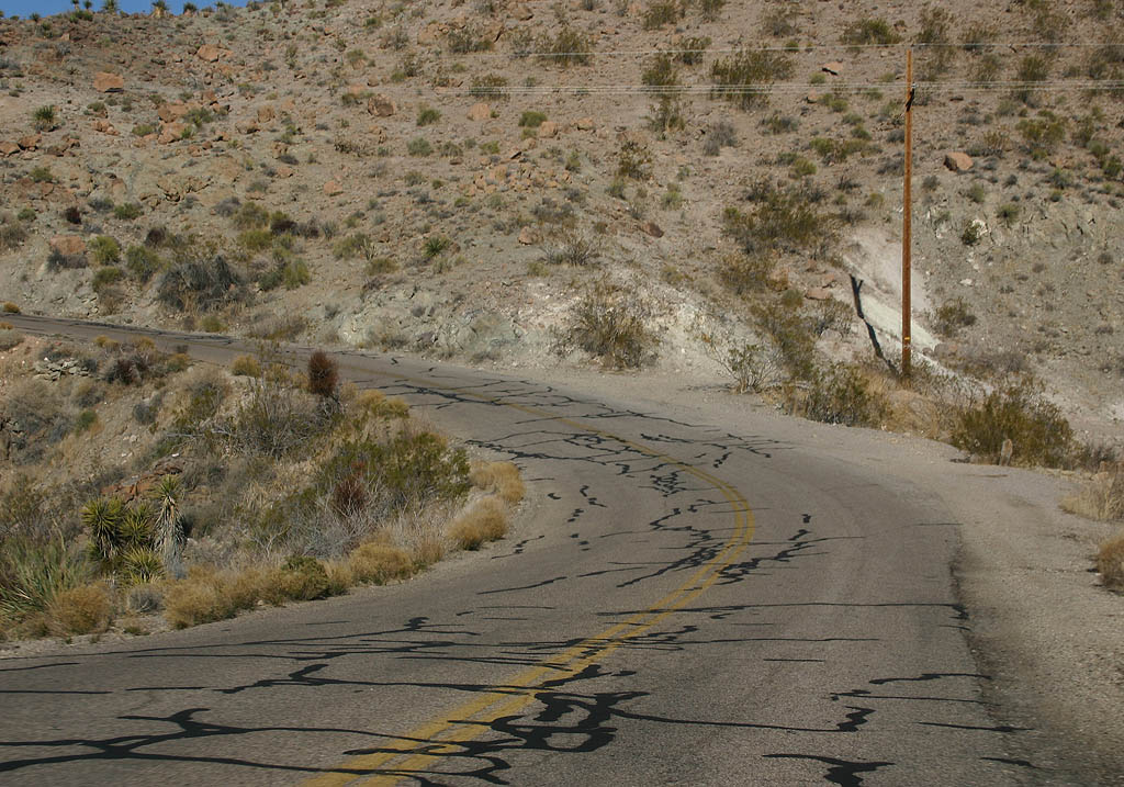
| Many of the curves on Historic U.S. 66 are not banked, reflecting the lack of upgrades done on this road due to being bypassed. 03/03/07 |
|
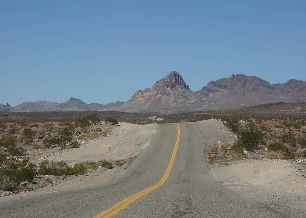
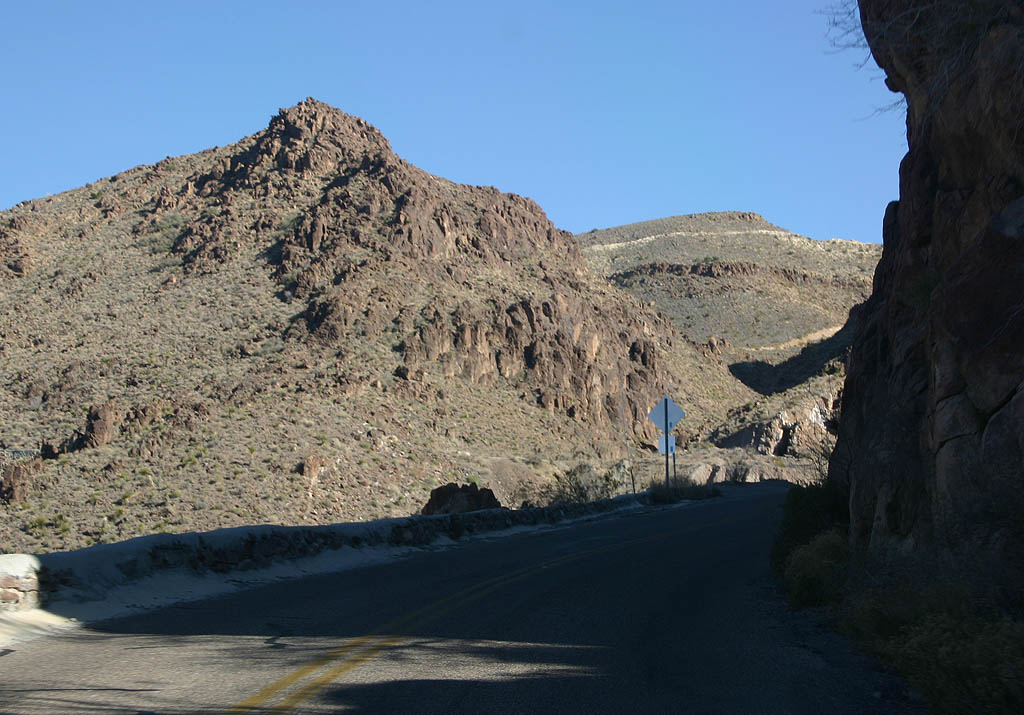
| Historic U.S. 66 travels north towards Boundary Cone, visible in the distance. 03/03/07 |
|
| Historic U.S. 66 encircles Boundary Cone 1,400 feet below the mountain peak. Historic U.S. 66 enters a formerly active mining area here. 03/03/07 |
|
| Historic U.S. 66 reaches the base of Boundary Cone. The mountain was named for its shape. All of the original land surveys of northern Arizona began from this peak. 03/03/07 |
|
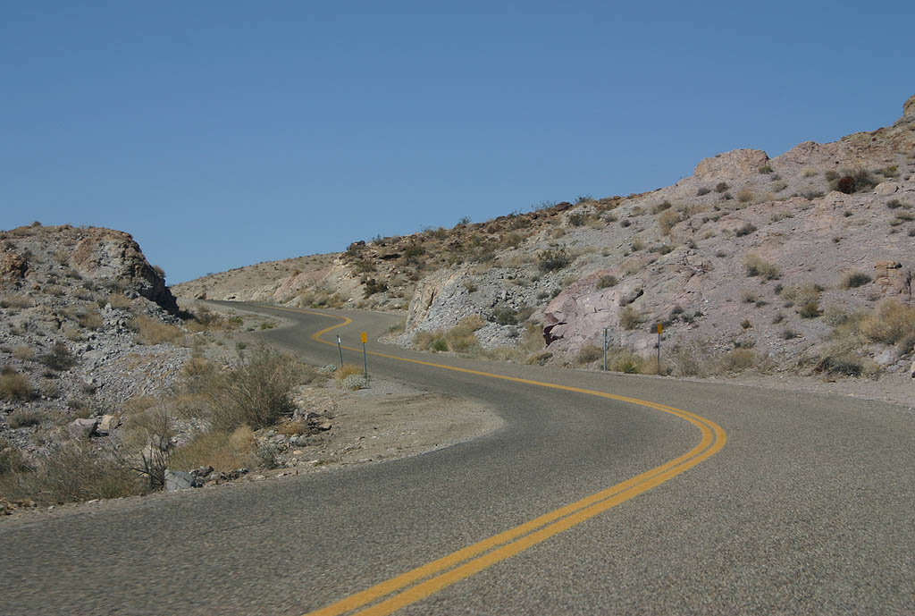
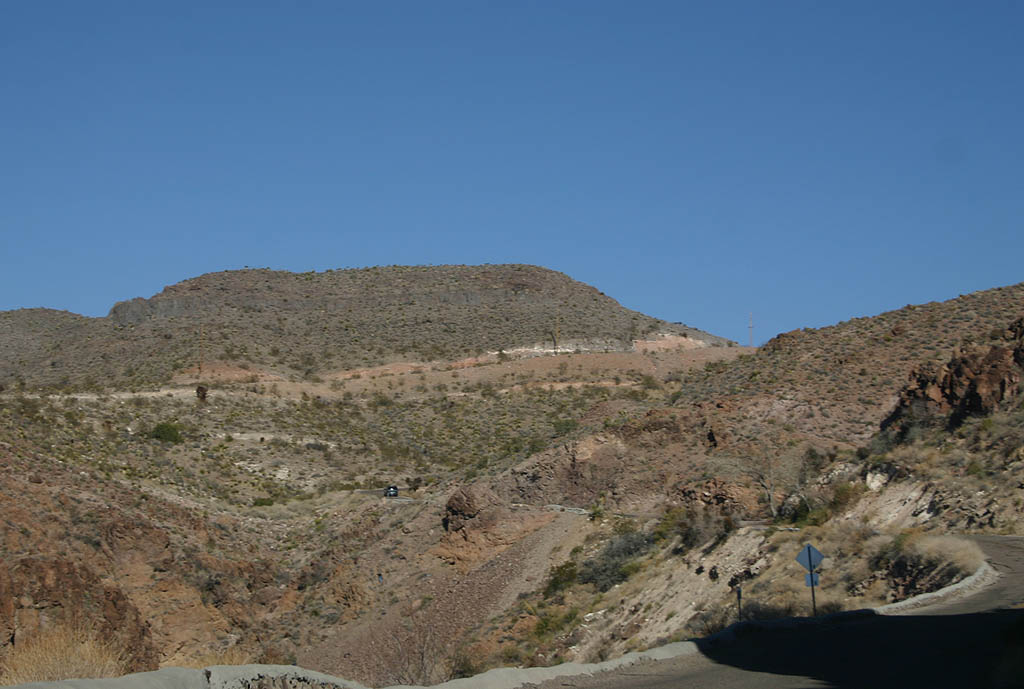
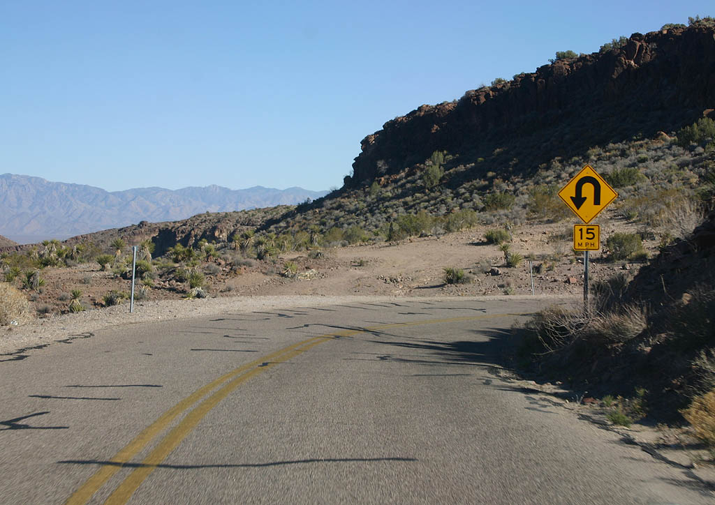
| Historic U.S. 66 navigates through a number of S-curves around the west and north side of Boundary Cone. 03/03/07 |
|
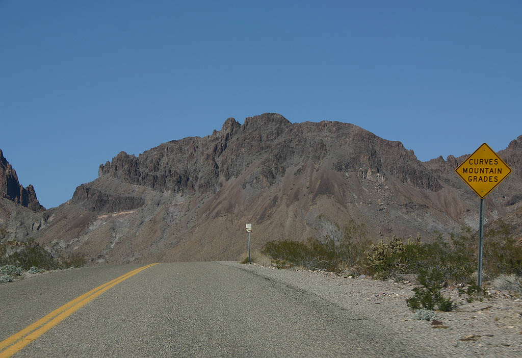
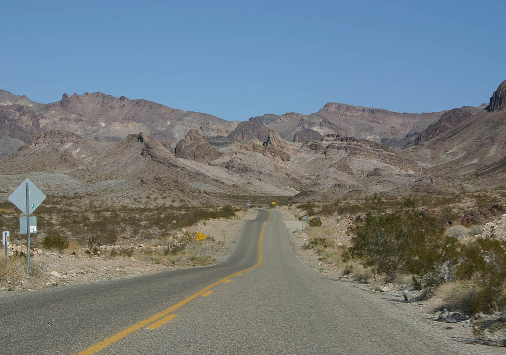
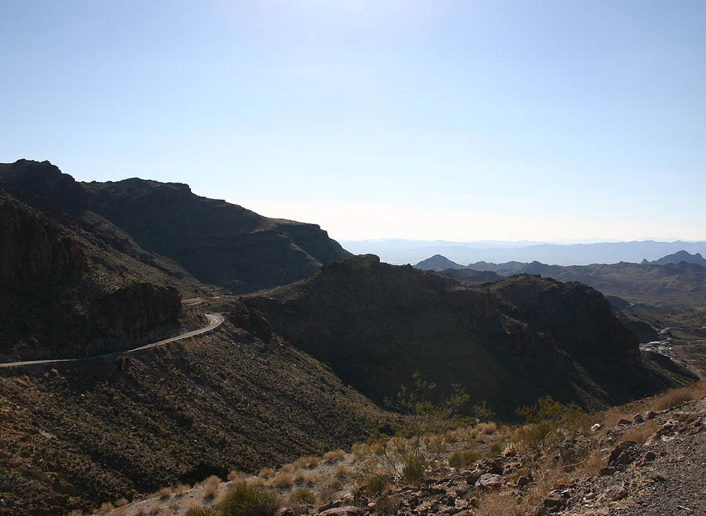
| Continuing on the north side of Boundary Cone, travellers see the imposing Black Mountains. Historic U.S. 66 eventually passes through a narrow gap in the mountains east of Oatman. 03/03/07 |
|
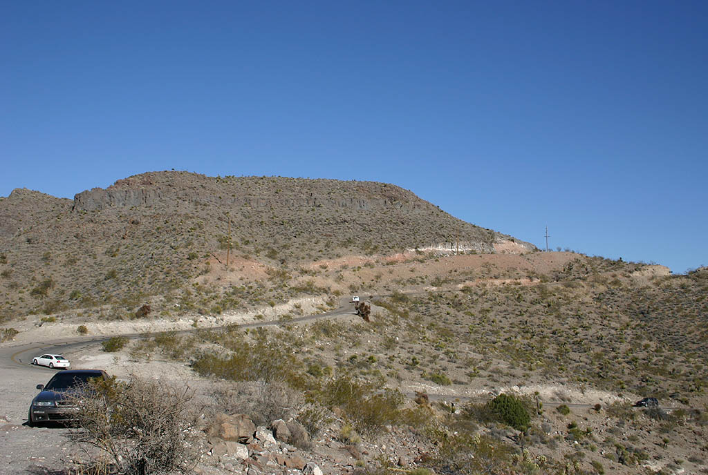
| This reassurance marker stands beyond Boundary Cone Road (CR 153), which travels 13.16 miles west to the Colorado River and SR 95. 03/03/07 |
|
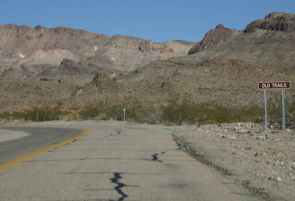
| Historic U.S. 66 passes the site of Old Trails. There is very little left in Old Trails today. 03/03/07 |
|
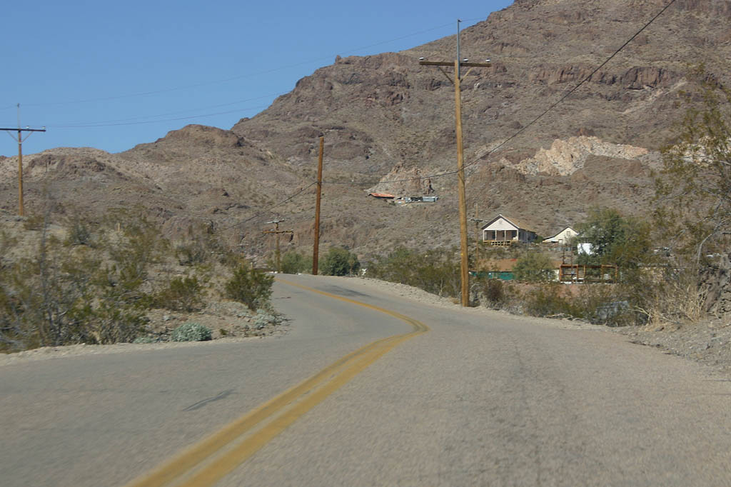
| Advancing to Oatman, some houses are visible on the hills above Historic U.S. 66. 03/03/07 |
|
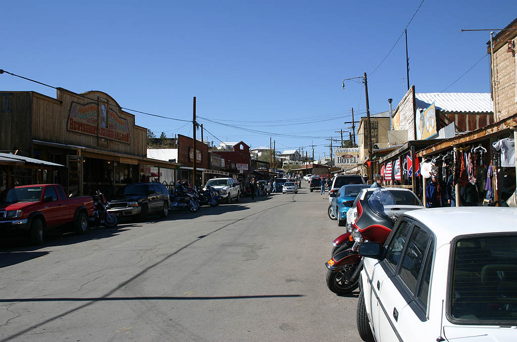
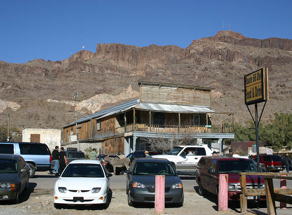
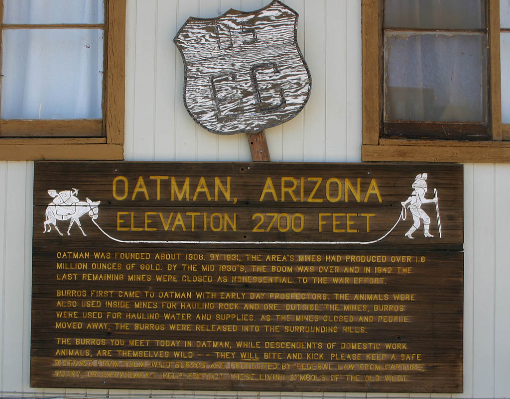
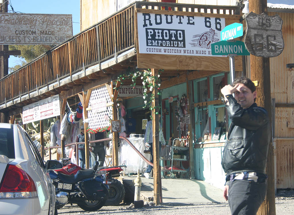
| Oatman, Arizona is probably the most famous town along Old U.S. 66. The town was founded as a mining camp, then essentially left for dead when the mines ran out. 03/03/07 |
|
| U.S. 66 was routed through Oatman due to the importance of the mines. 03/03/07 |
|
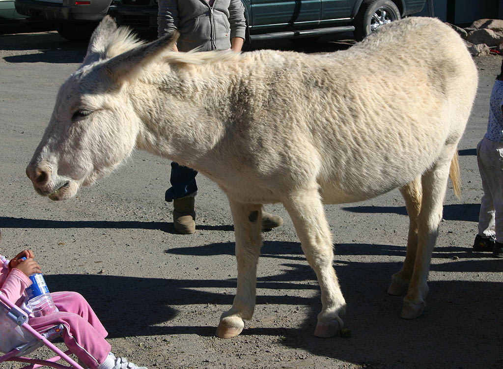
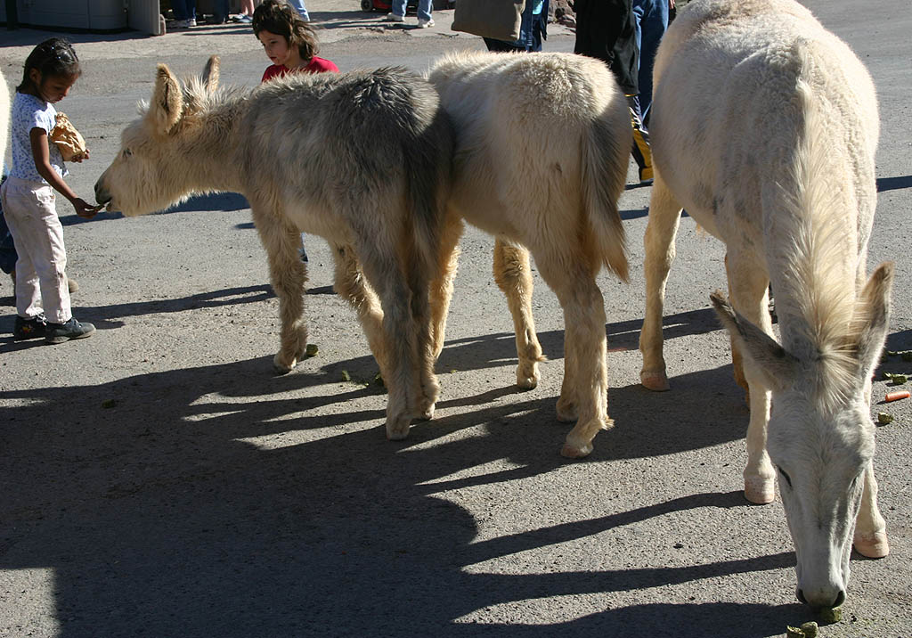
| Feeding on carrots sold in stores, the Burros that wander the streets of Oatman are wild descendants of the miner's burros. 03/03/07 |
|
| U.S. 66 was rerouted through Yucca, along what later became Interstate 40, in 1952. This change left Oatman to wither. 03/03/07 |
|
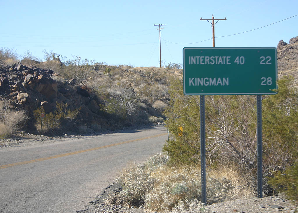
| Historic U.S. 66 rejoins Interstate 40 and Kingman, 22 miles northeast of Oatman. 03/03/07 |
|
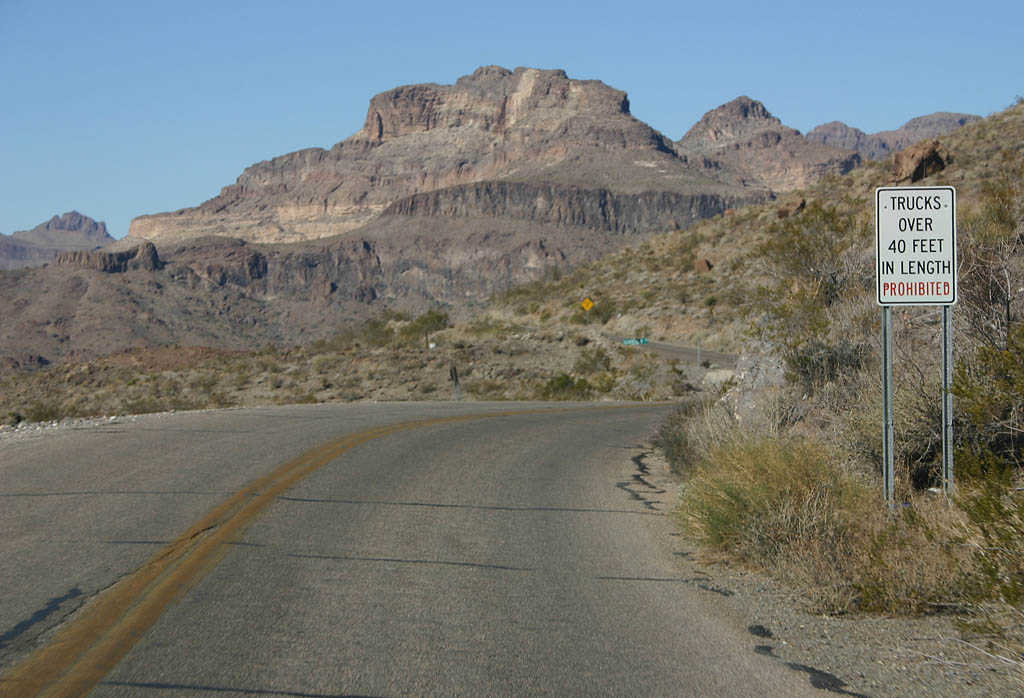
| Due to the sharp curves ahead, trucks over 40 feet in length are prohibited over Sitgreaves Pass. 03/03/07 |
|
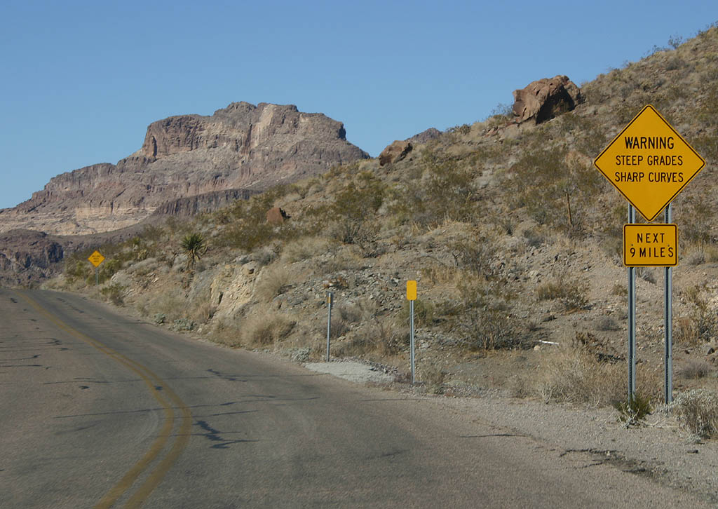
| Another caution sign warns of curves and mountain grades ahead. 03/03/07 |
|
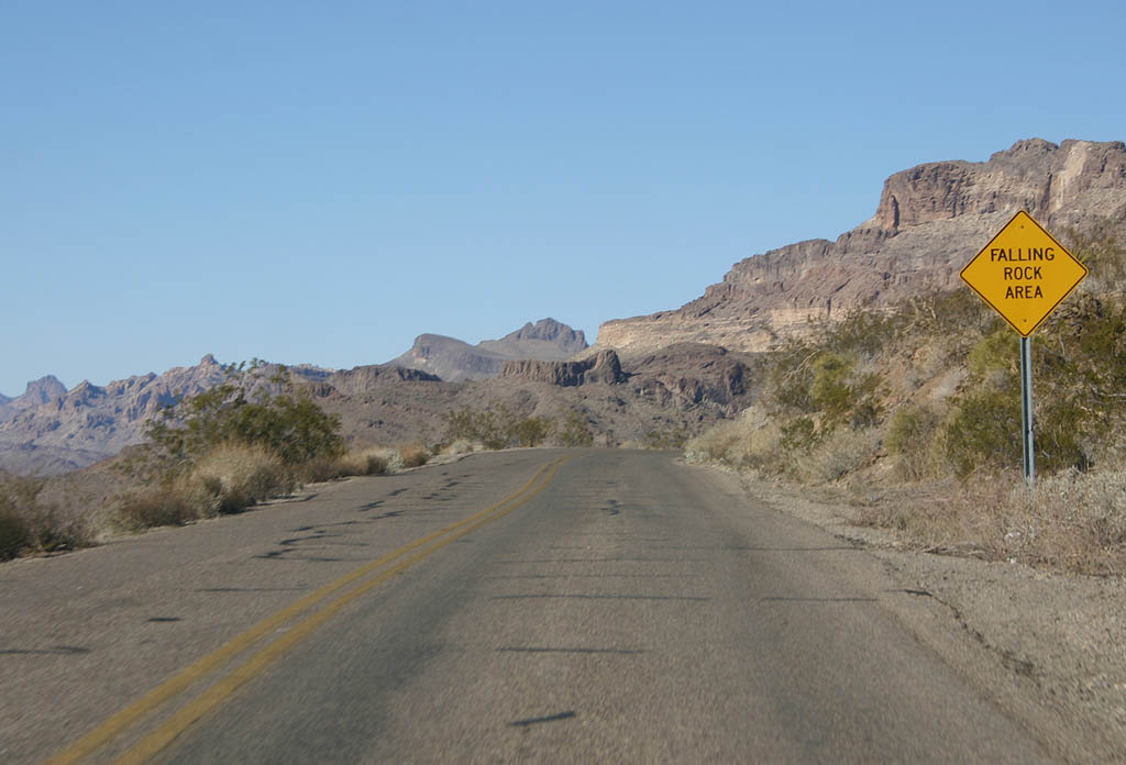
| Historic U.S. 66 hugs the hillside as it climbs up Sitgraves Pass. This sign warns of potential falling rocks from the forthcoming hillsides and roadcuts. 03/03/07 |
|
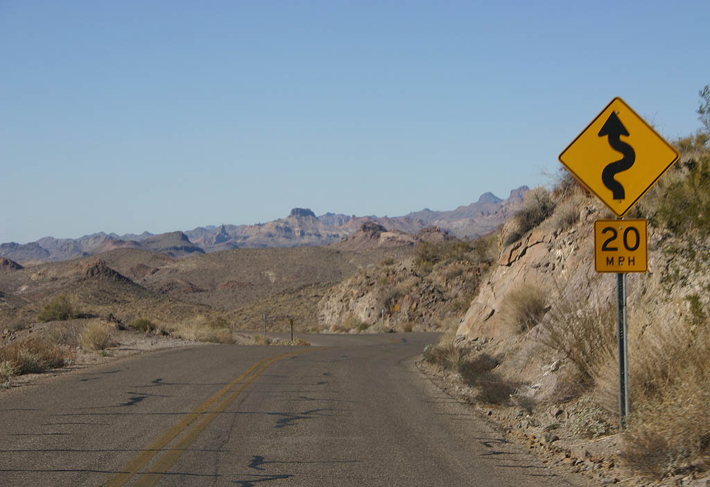
| The advisory speed reduces to 20 MPH. 03/03/07 |
|
| Historic U.S. 66 faces what used to be called Negrohead. More recent USGS maps do not have a name for this mountain. 03/03/07 |
|
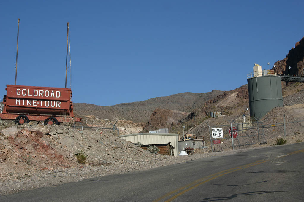
| Winding through the mountains, Historic U.S. 66 reaches Goldroad. Goldroad is known for the Goldroad Mine, which is the only thing remaining in the town. Historically, a filling station had a tow truck and offered tows up Gold Hill to Sitgraves Pass (in 1949, these were $3.50). 03/03/07 |
|
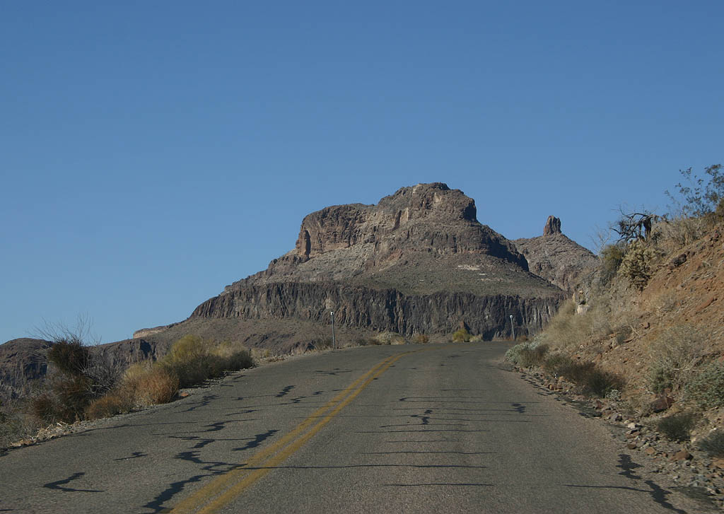
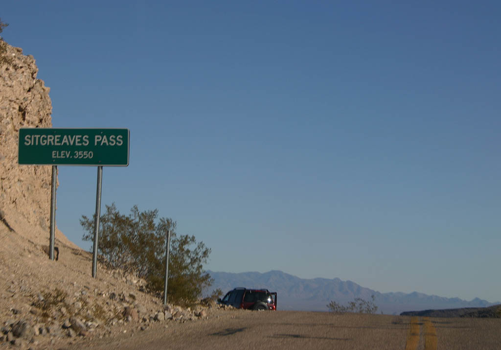
| Over the course of two miles, Historic U.S. 66 ascends 700 feet up Gold Hill to reach Sitgraves Pass. Sitgraves Pass at 3,512 feet above sea level, is the high point along this section of Historic U.S. 66. 03/03/07 |
|
| The Tri-State Lookout is located just west of Sitgraves Pass. In past years, there was an ice cream shop and gas station at the summit. 03/03/07 |
|
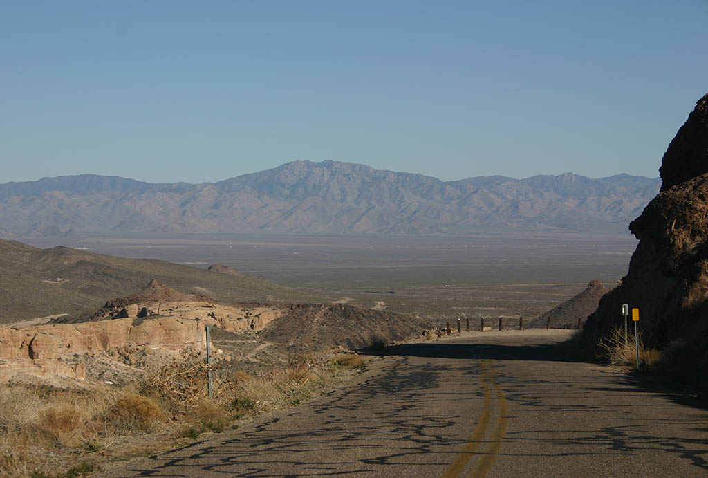
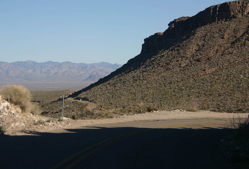
| Descending from Sitgreaves Pass and the Black Mountains, a clear view of the Sacramento Valley can be seen. 03/03/07 |
|
| Historic U.S. 66 winds through the headwaters of Meadow Creek as it descends from Sitgreaves Pass. 03/03/07 |
|
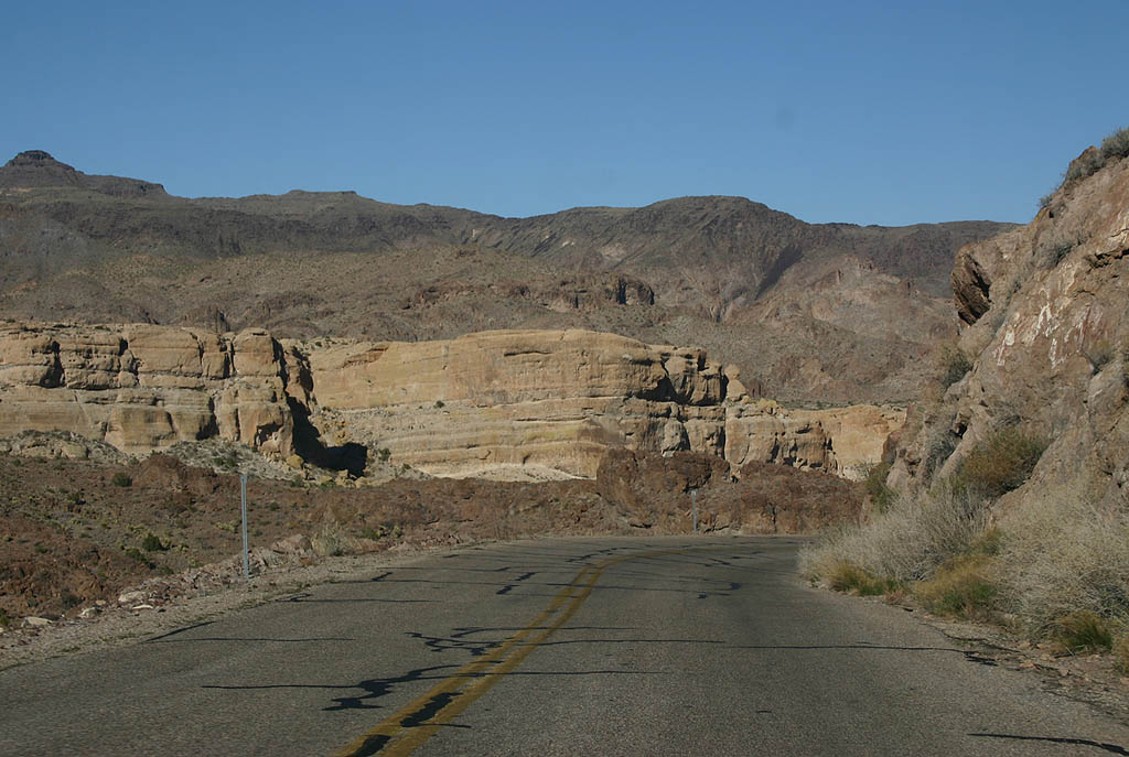
| The narrow winding pavement of Historic U.S. 66 can be a challenging drive. 03/03/07 |
|
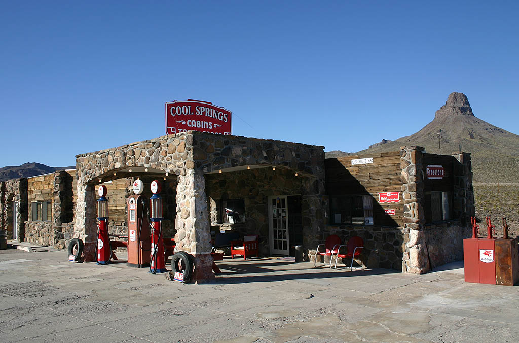
| Cool Springs Camp was constructed in the 1930s as a tourist camp along Historic U.S. 66. The property was in operation after being bypassed in 1952, but burned in the 1960s and remained as ruins until being reconstructed in 2004. The ruins were used as part of the filming of Universal Soldier in 1991. 03/03/07 |
|
| Leaving the Black Mountains, Historic U.S. 66 lowers into the broad Sacramento Valley. 03/03/07 |
|
| Historic U.S. 66 remains a scenic road northeast to Kingman. 03/03/07 |
|
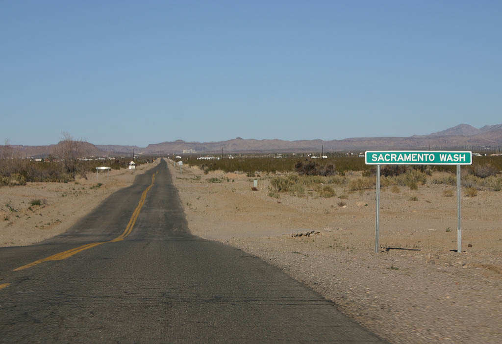
| With a narrow roadway, Historic U.S. 66 crosses Sacramento Wash with a wide cleared right of way. 03/03/07 |
|
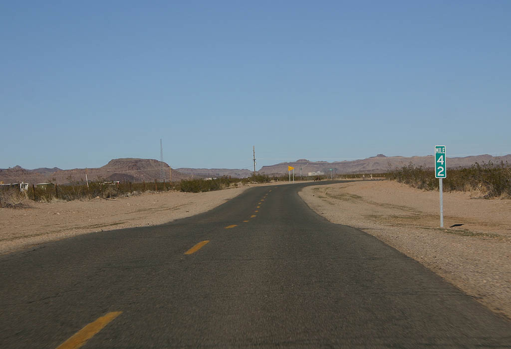
| The mile markers on this section of Historic U.S. 66 are maintained by Mohave County, but match with the original 1949 mile markers placed by the State of Arizona. 03/03/07 |
|
| Shifting to the east side of Interstate 40 via Shinarump Road, the ensuing section of Historic U.S. 66 utilizes a frontage road north toward Kingman. 03/03/07 |
Page Updated 04-04-2022.

 East
East