|
| U.S. 67 travels south from U.S. 52 in the rural hills west of Sabula and the Mississippi River. Iowa 64 combines with the first half mile of the highway as part of a multi-state route that originates in Chicago. 03/12/17 |
|
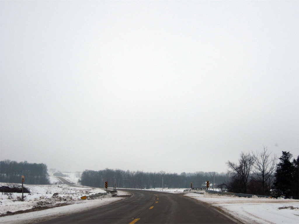
| U.S. 67/Iowa 64 ascend through a valley from the Sabula Lakes area to split ahead of open agricultural lands along either route. 12/21/09 |
|
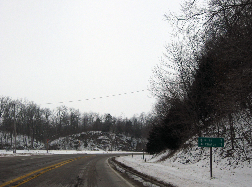
| Iowa 64 continues west seven miles to Miles and 25 miles to the Jackson County seat of Maquoketa while U.S. 67 turns south to follow the Mississippi River 17 miles to Clinton. 12/21/09 |
|
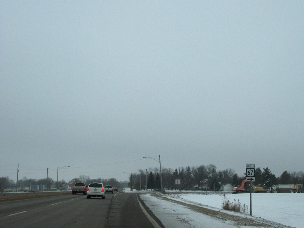
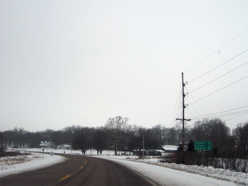
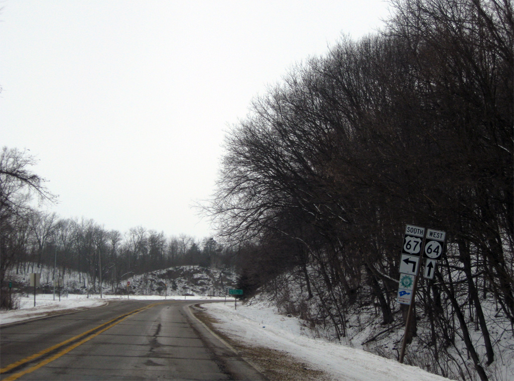
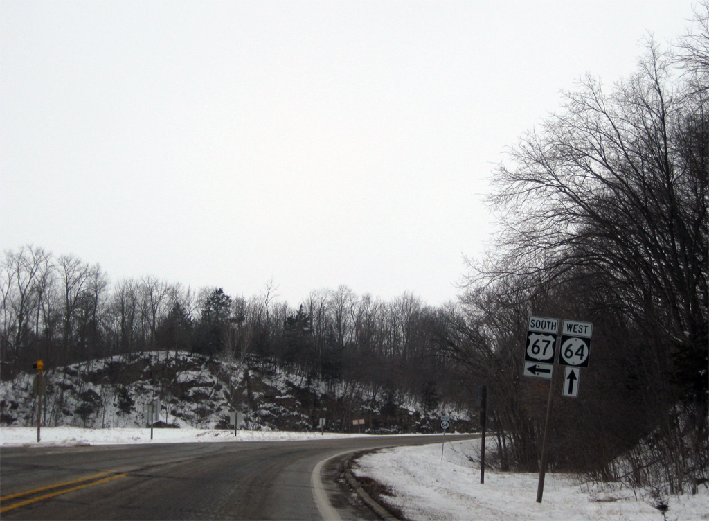
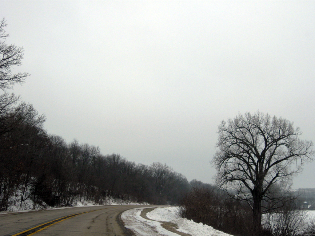
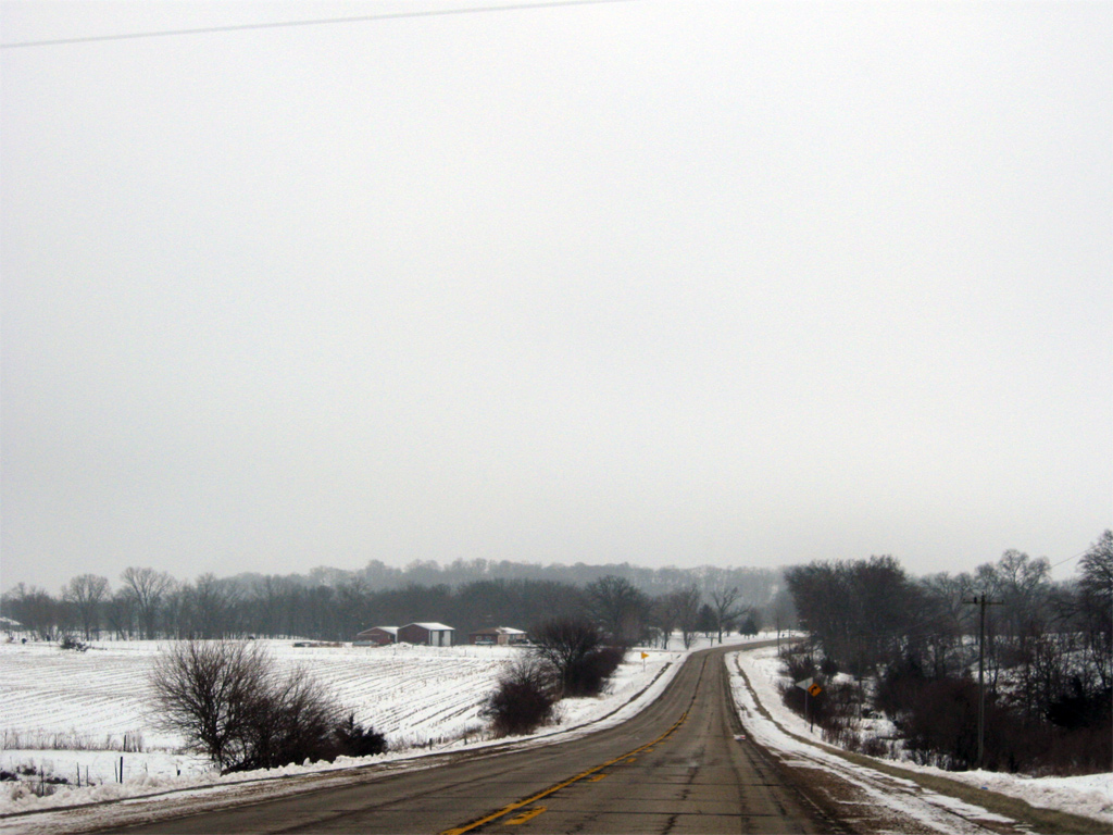
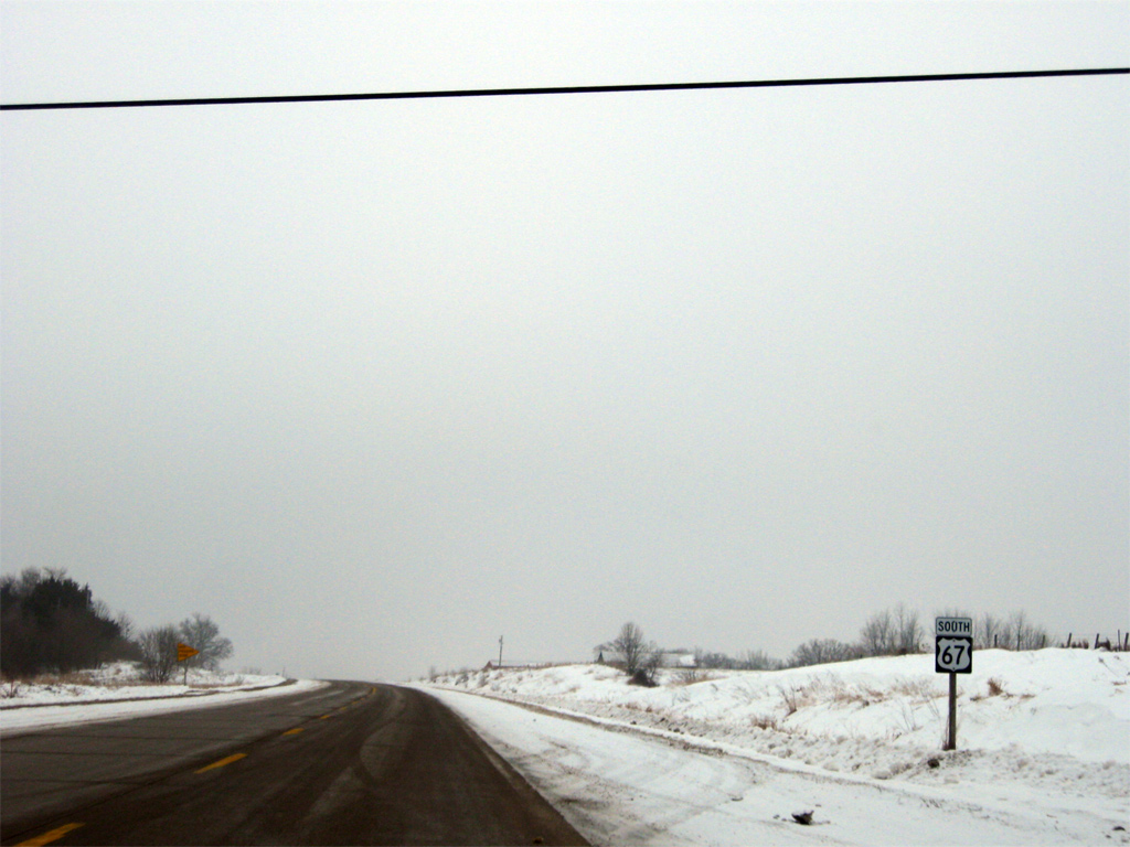
| The separation of U.S. 67 south from Iowa 64 west. Iowa 64 travels 60.0 miles from Sabula west to U.S. 151 at Anamosa. 12/21/09 |
|
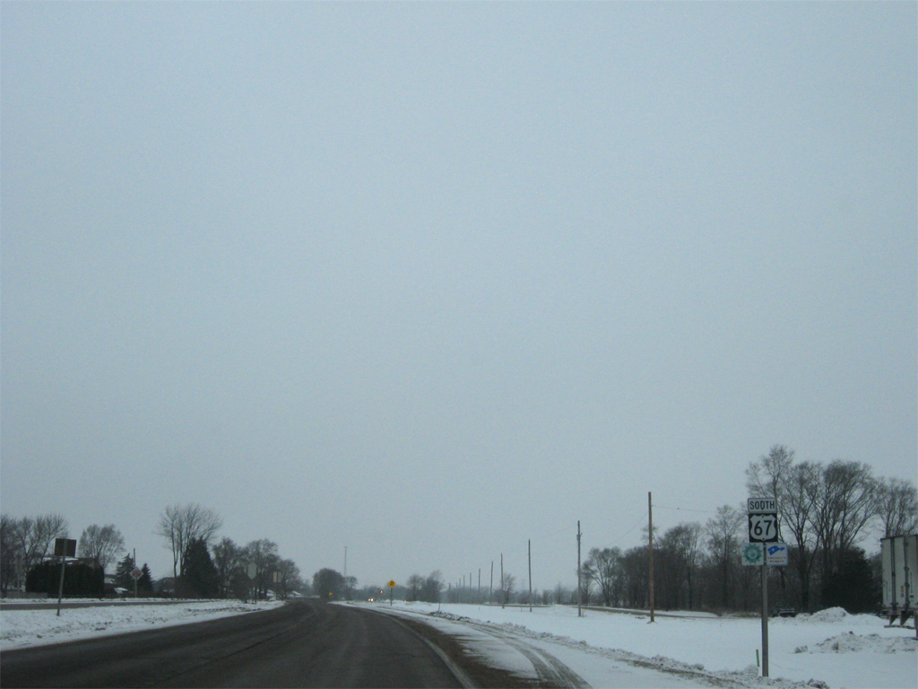
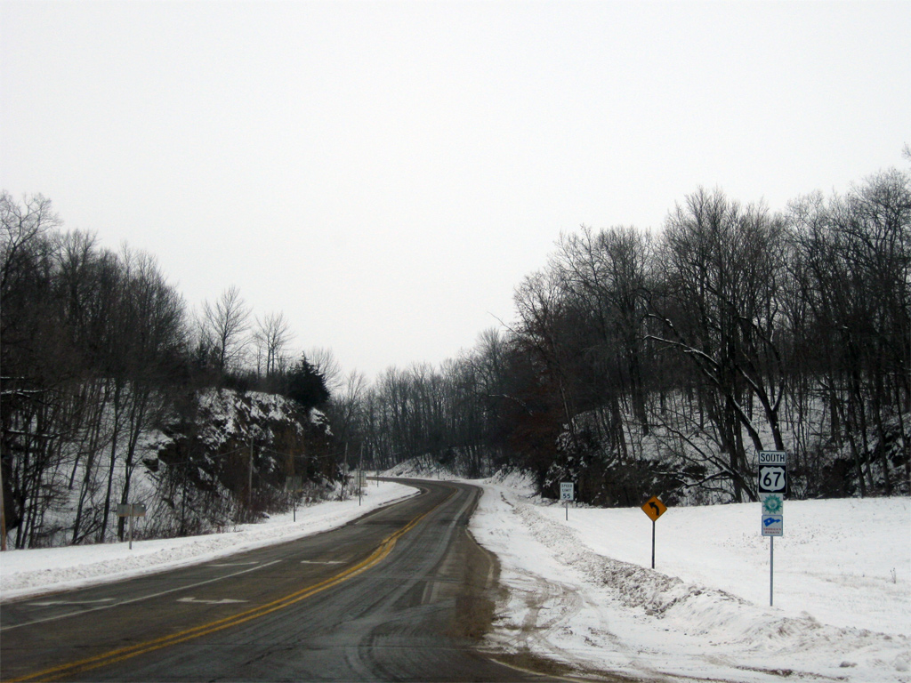
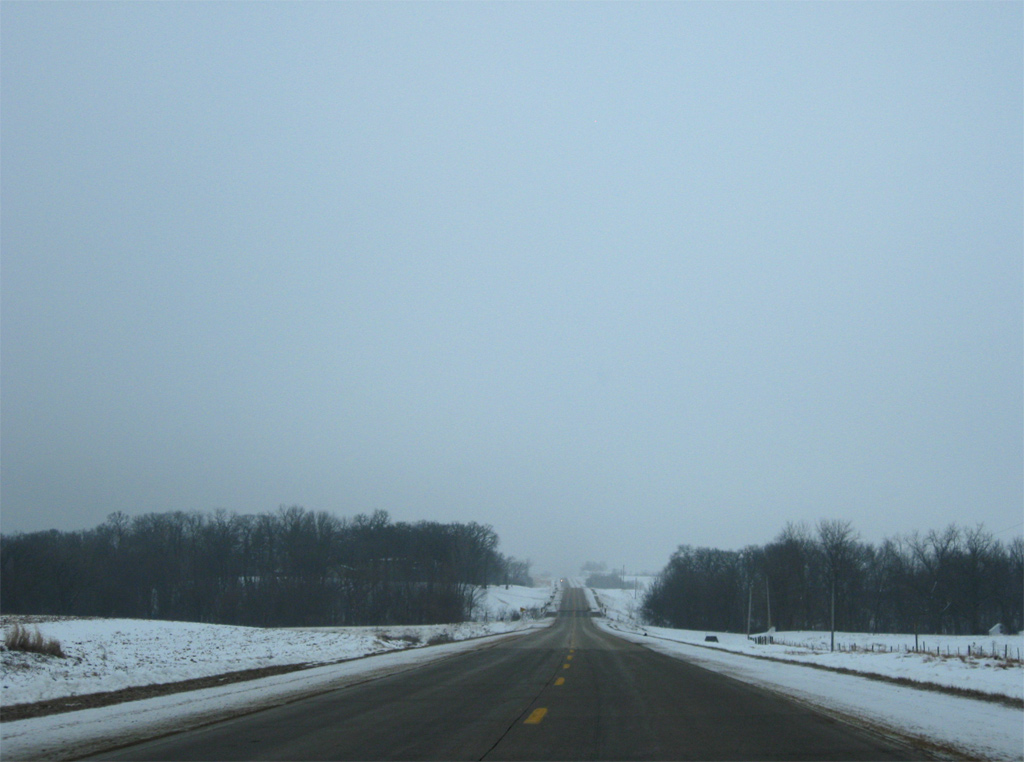
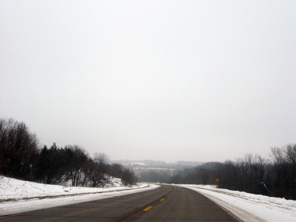
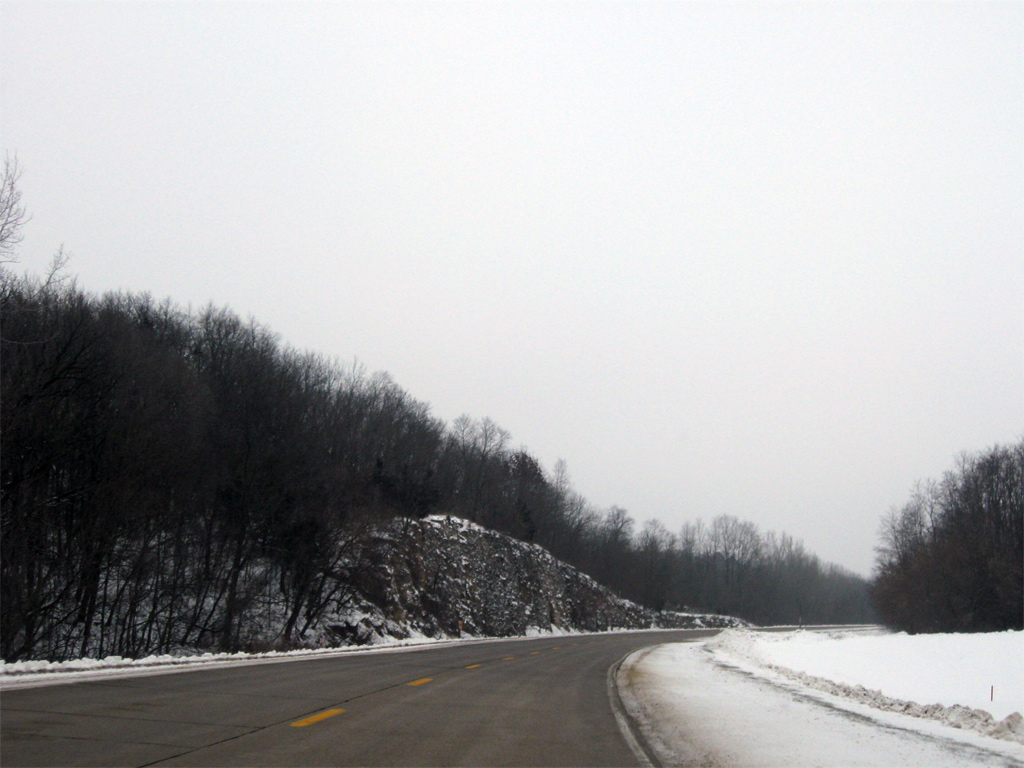
| U.S. 67 again climbs from Iowa 64 between a rock cut. The Great River Road follows the highway south from U.S. 52 to Downtown Davenport. 12/21/09 |
|
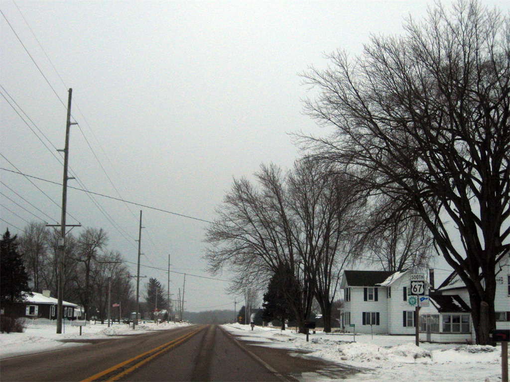
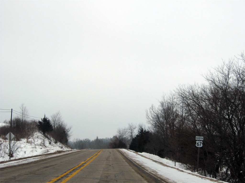
| The third reassurance marker of U.S. 67 appears after the intersection with 21st Street in southeast Jackson County. 12/21/09 |
|
| Curving around a hill and above a tributary of Schamling Creek along U.S. 67 ahead of 1st Street. 12/21/09 |
|
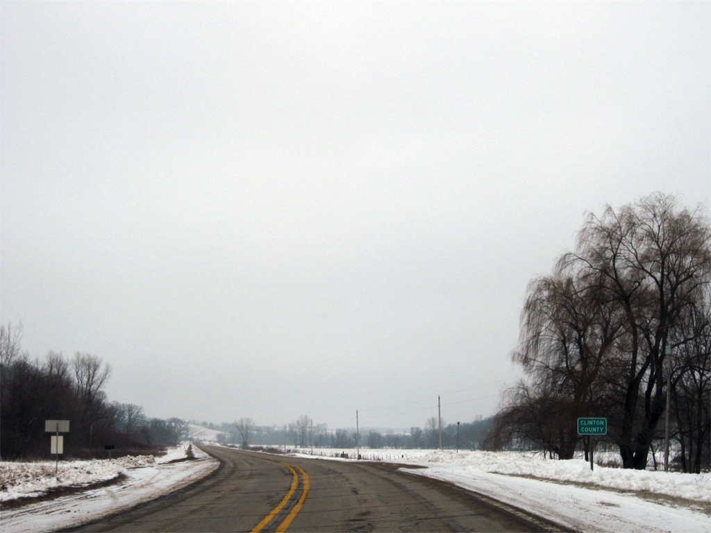
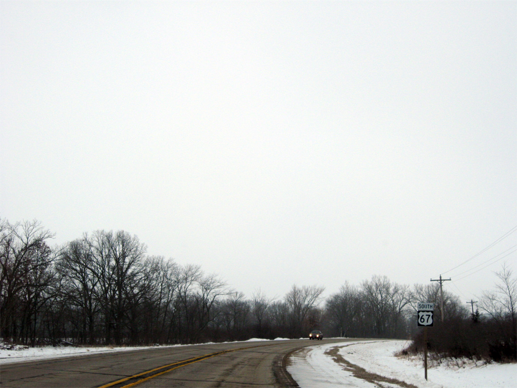
| Entering Clinton County, the second of three counties along U.S. 67 in Iowa. 12/21/09 |
|
| A sweeping curve takes U.S. 67 south through the intersection with 110th Street amid forest stands and farm fields. 12/21/09 |
|
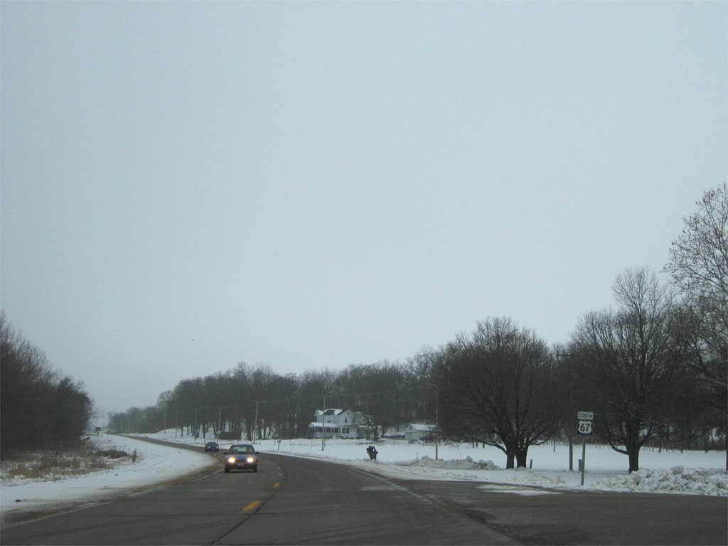
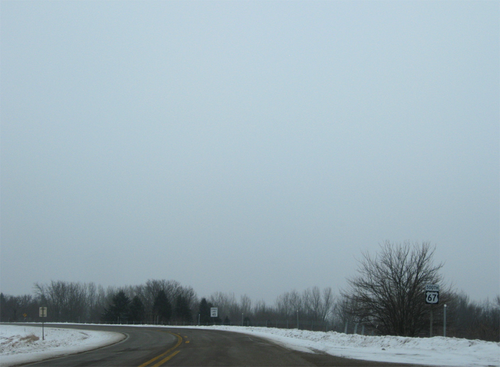
| U.S. 67 straightens out south of 110th Street and this shield assembly. 12/21/09 |
|
| U.S. 67 gradually descends toward the Elk River in this scene ahead of 125th Street. 12/21/09 |
|
| Turning westward from 125th Street to the Elk River near Hauntown. 12/21/09 |
|
| Just west of the Elk River at 131st Street on U.S. 67 south. 12/21/09 |
|
| U.S. 67 overtakes 460th Avenue south of Hauntown en route to Almont. 12/21/09 |
|
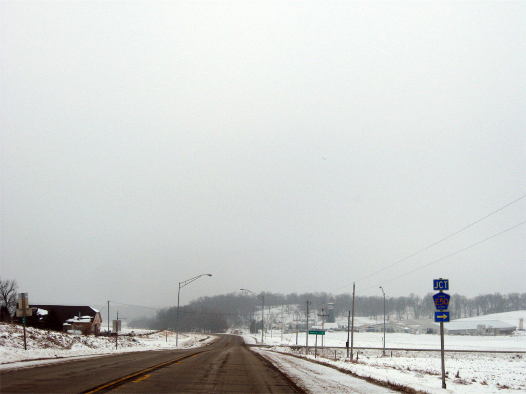
| Approaching the east end of Clinton County E50 (140th Street) at Almont. 12/21/09 |
|
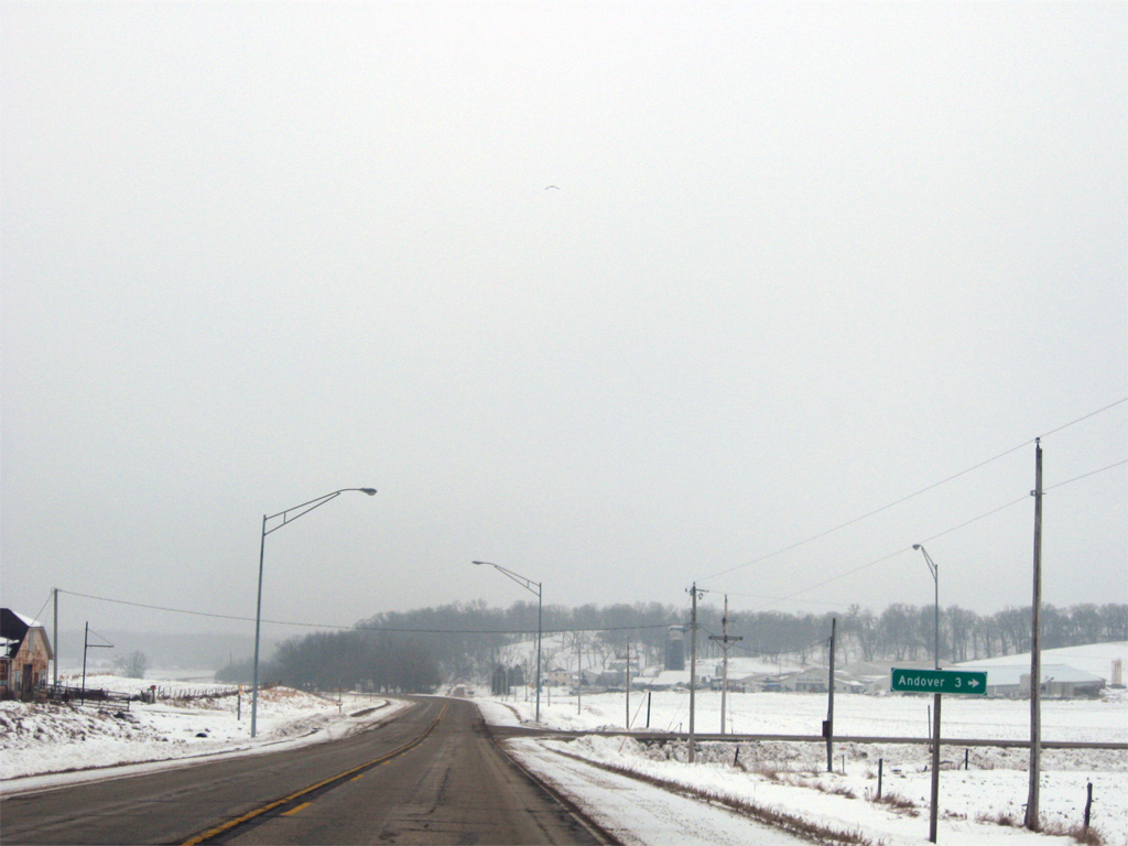
| County Road E50 ventures west three miles to Andover before turning south to Bryant and Iowa 136 at Tenmile. 12/21/09 |
|
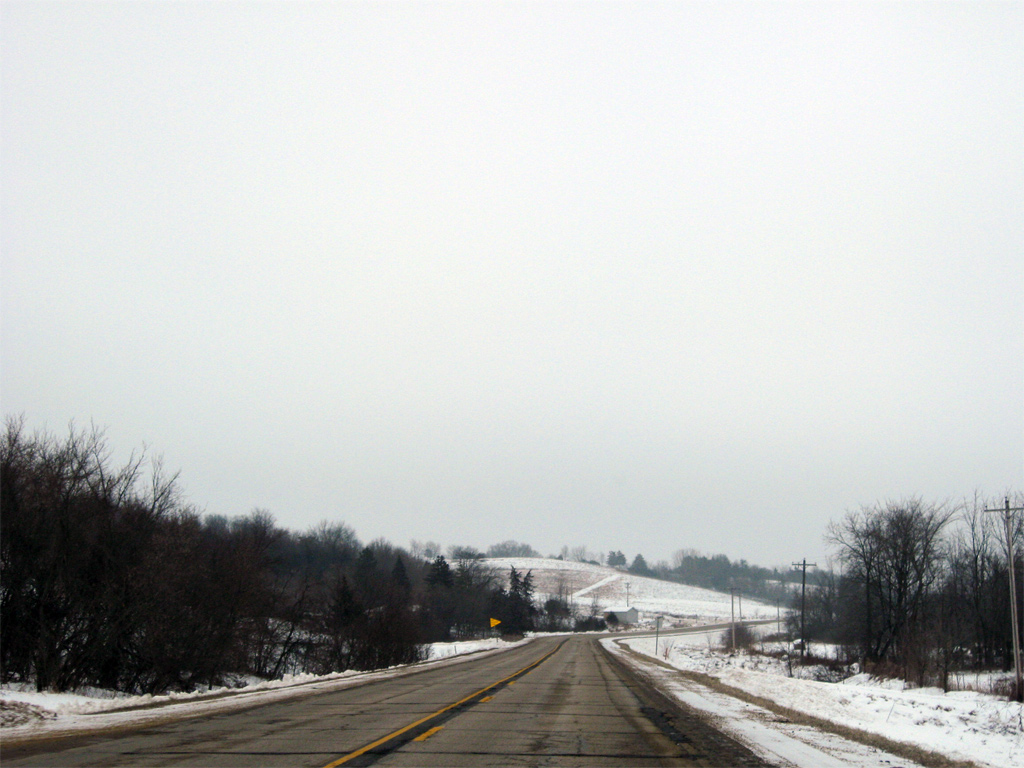
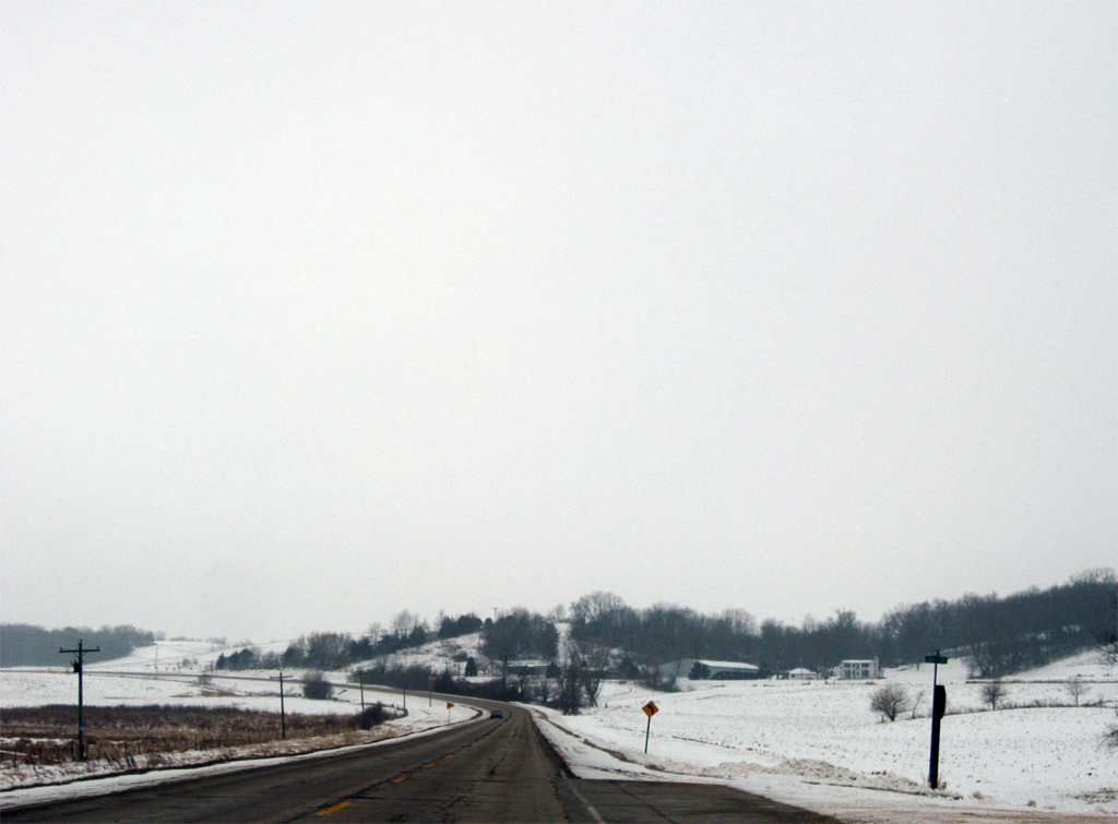
| Continuing south, U.S. 67 winds eastward to circumvent a hill between Almont and Silver Creek. 12/21/09 |
|
| 149th Street links U.S. 67 and parallel 459th Avenue (a likely former alignment of U.S. 67) ahead of this shield assembly. 12/21/09 |
|
| 150th Street leads west from U.S. 67 ahead of a tributary of Silver Creek. 12/21/09 |
|
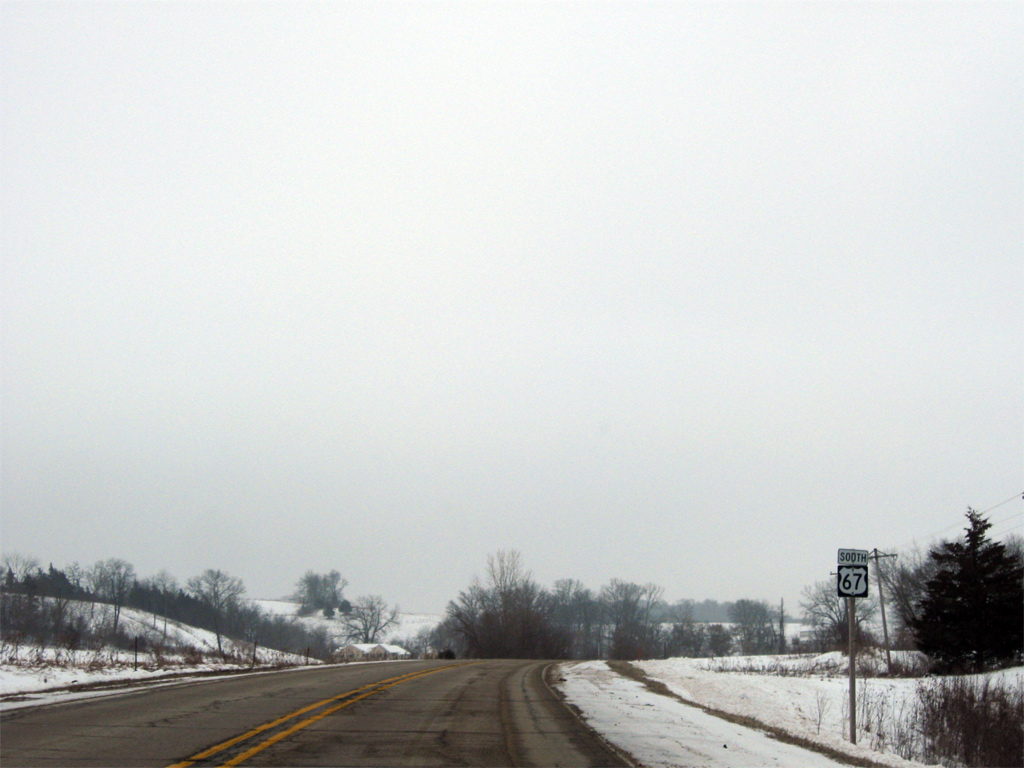
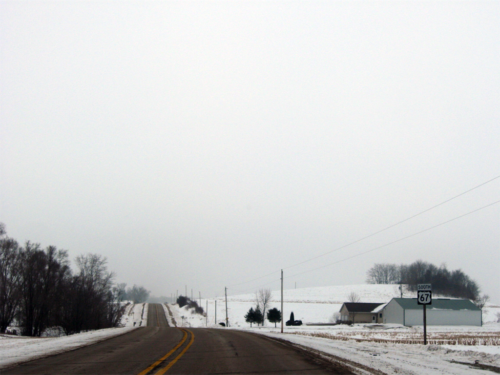
| Rising southward along U.S. 67 ahead of 155th Street and Silver Creek. 12/21/09 |
|
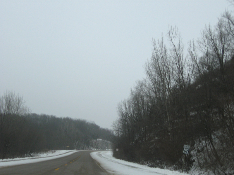
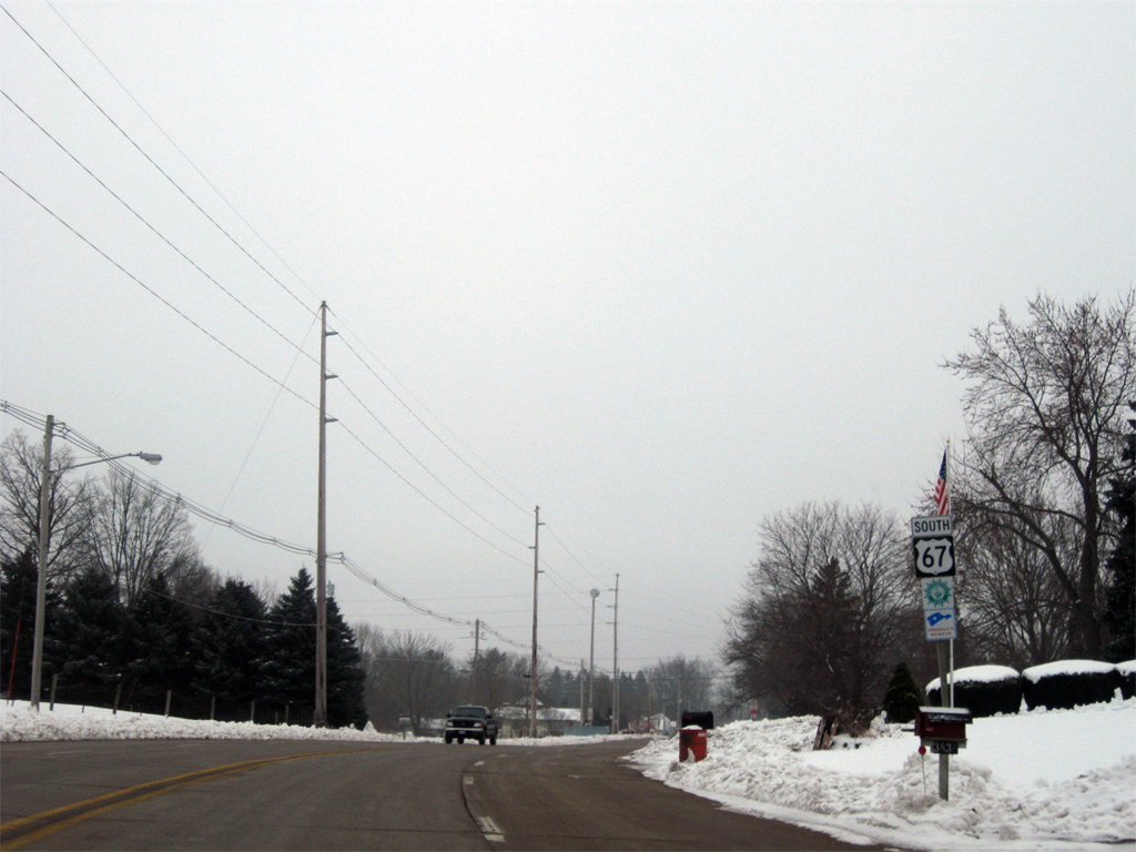
| Passing by the next reassurance shield south of 160th Street. 12/21/09 |
|
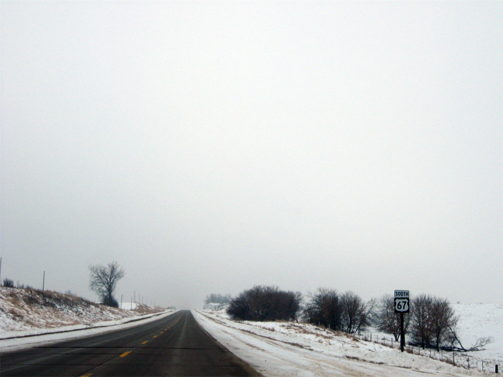
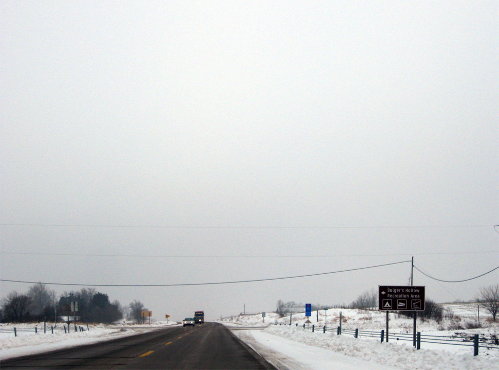
| 170th Street meanders eastward to Bulgers Hollow Recreation Area on the Mississippi River. 12/21/09 |
|
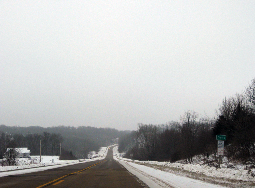
| U.S. 67 begins the approach to Clinton, turning eastward more toward the river. 12/21/09 |
|
| The city limits of Clinton extend northward five miles from Downtown to a rural area along U.S. 67 preceding Deer Creek Road. 12/21/09 |
|
| Traveling alongside Eagle Point Park on U.S. 67 (Bellevue Road) south of Deer Creek Road. 12/21/09 |
|
| U.S. 67 (Bellevue Road) kinks eastward again to overtake 3rd Street into the Clinton street grid. 12/21/09 |
|
| A passing lane briefly accompanies southbound U.S. 67 as Bellevue Road transitions to 3rd Street. 12/21/09 |
|
| 3rd Street southbound at 28th Avenue North in Clinton. 12/21/09 |
|
| U.S. 67 (3rd Street) passes over Willow Brook ahead of this shield at 28th Avenue North. 12/21/09 |
|
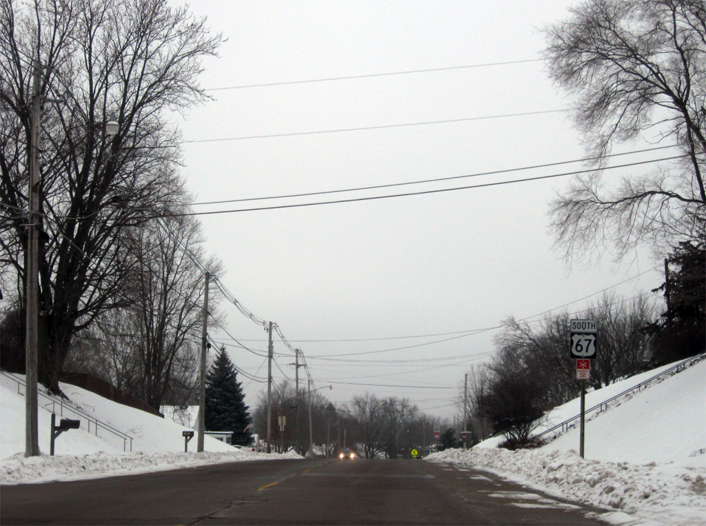
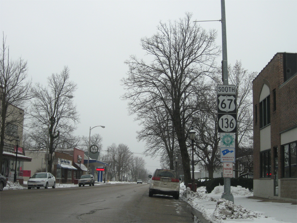
| One block north of Iowa 136 (Main Avenue) on U.S. 67 (3rd Street) south. Main Avenue links the Downtown and Riverfront Districts with the Mill Creek District in Clinton. 12/21/09 |
|
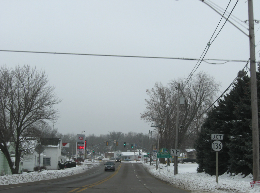
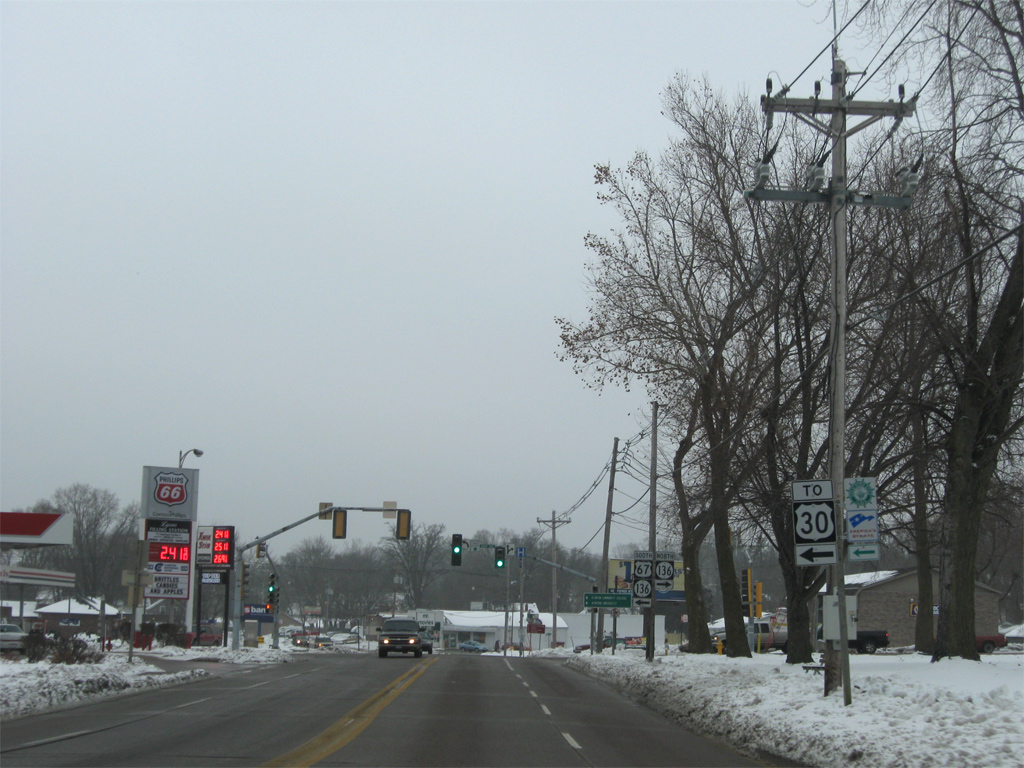
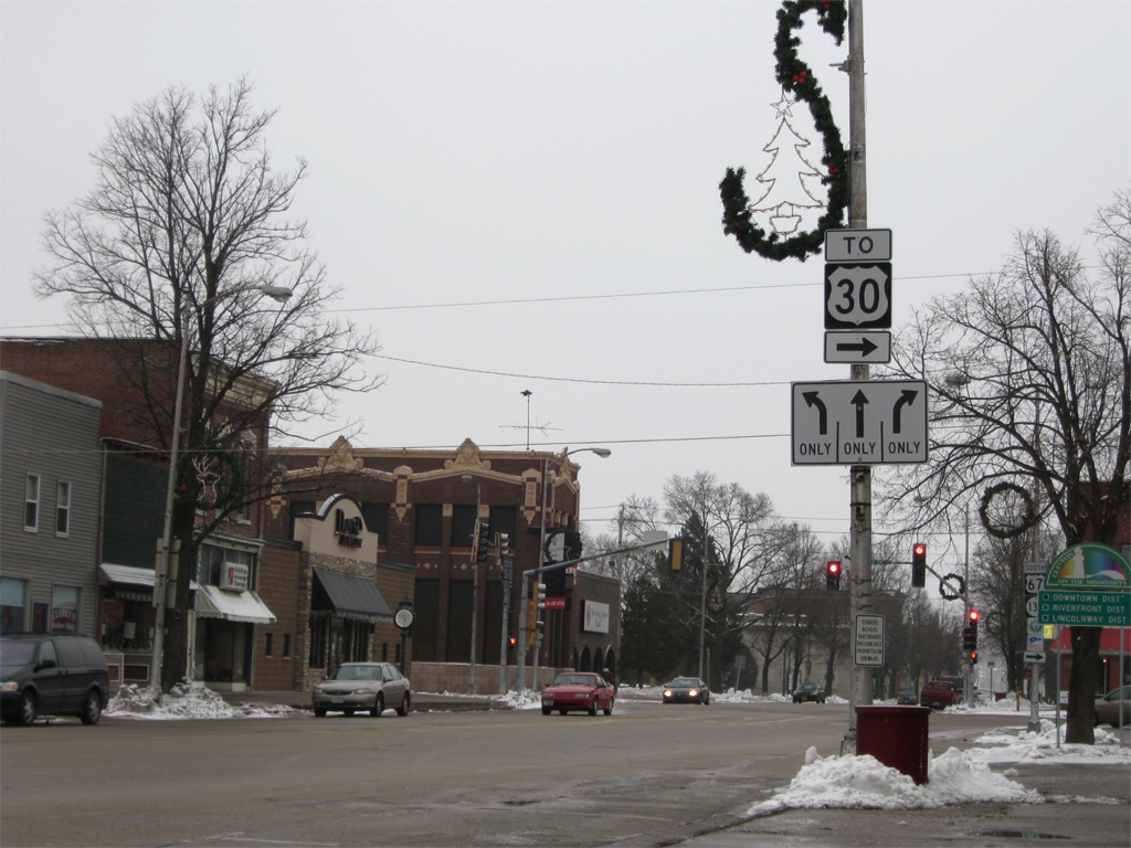
| A U.S. 30 trailblazer directs drivers onto U.S. 67/Iowa 136 (Main Avenue) south to 2nd Street. U.S. 30 is another 2.6 miles southward at Downtown Clinton via 2nd Street. 12/21/09 |
|
| Iowa 136 leads northwest from Clinton to Goose Lake, Charlotte and Delmar on a 98 mile course to Luxemburg. 12/21/09 |
|
| U.S. 67/Iowa 136 combine for three blocks east on Main Avenue to 2nd Street. 12/21/09 |
|
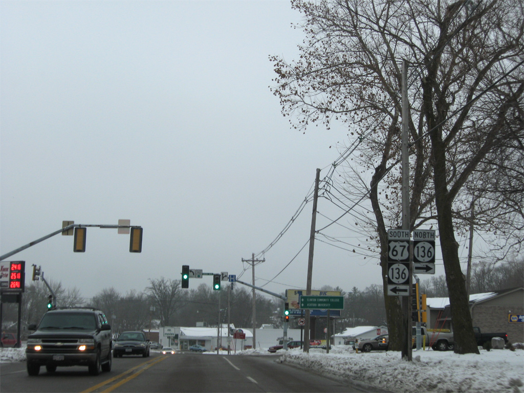
| Approaching the turn of U.S. 67/Iowa 136 south onto Main Avenue. The pair overlap for 0.7 miles. 12/21/09 |
|
| U.S. 30 follows 8th Avenue South, 2.5 miles to the south of the U.S. 67 turn onto 2nd Street. 12/21/09 |
|
| Main Avenue continues east to Four Square Park and Harding Street on the Mississippi River. 2nd Street enters the scene from a residential area northward to 32nd Avenue North. 12/21/09 |
|
| Reassurance markers posted for U.S. 67/Iowa 136 on 2nd Street. Shops and other businesses line 2nd Street to Downtown. 12/21/09 |
|
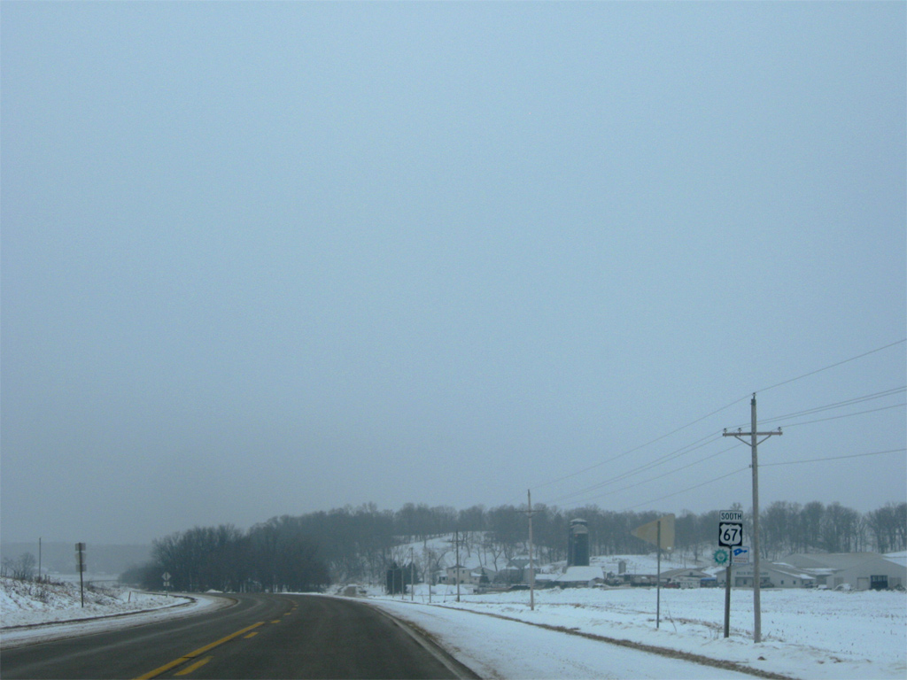
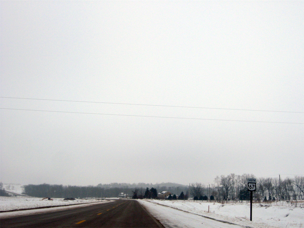
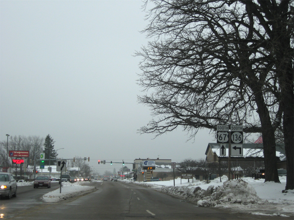
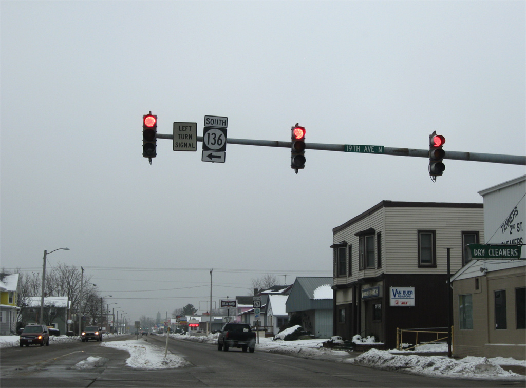
| 2nd Street expands into a four lane arterial leading into the split of U.S. 67 south with Iowa 136 south. Iowa 136 joins 19th Avenue N to span the Mississippi River across the Mark Morris Memorial Bridge. 12/21/09 |
|
| Traffic bound for Fulton, Illinois departs U.S. 67 (2nd Street) south for Iowa 136 south. Iowa 136 becomes Illinois Route 136, a 3.2 mile route linking Clinton with U.S. 30 east of Fulton. 12/21/09 |
|
| U.S. 67 remains on 2nd Street southward to 7th Avenue S, where the route turns west two blocks ahead of U.S. 30. 12/21/09 |
|
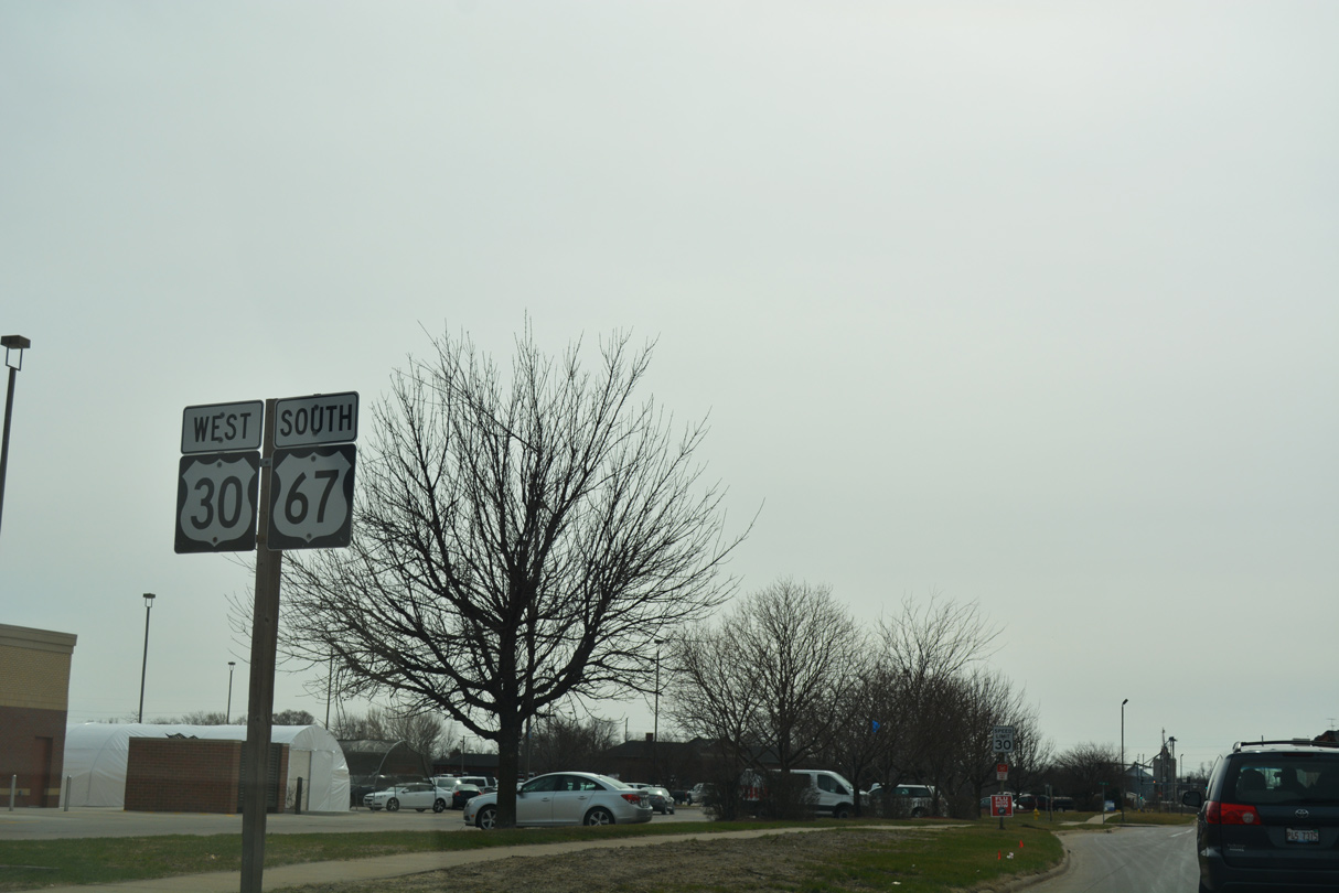
| U.S. 30 west and U.S. 67 south combine along S 4th Street for three blocks. while the opposite directions utilize S 3rd Street to the east. 03/12/17 |
|
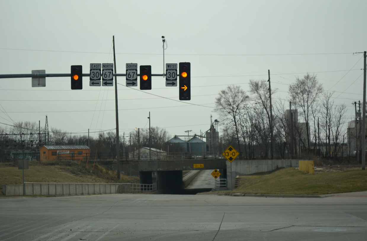
| U.S. 30/67 turn west onto 11th Avenue South, which transitions into Lincoln Way nearby. S 4th Street extends into a subway below the Union Pacific Railroad to an industrial area along the Mississippi River. 03/12/17 |
|
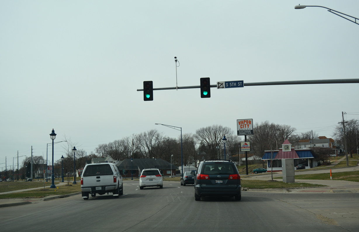
| 11th Avenue S west at S 5th Street. 5th Street ties into U.S. 30/67 from a residential area to the north. A second segment of 11th Avenue South begins at an adjacent cul-de-sac and leads west through neighborhoods to Clinton Community College. 03/12/17 |
|
| Reassurance markers posted along Lincoln Way south after 15th Avenue South. A $15.4 million project to June 2009 rebuilt U.S. 30/67 along Liberty Avenue between South 4th Street and 25th Place. 1 Subsequent work in 2012 focused on improving Lincoln Way, adding a multi-use trail and street scaping as part of a $2.7 million TIGER IV grant.2 03/12/17 |
|
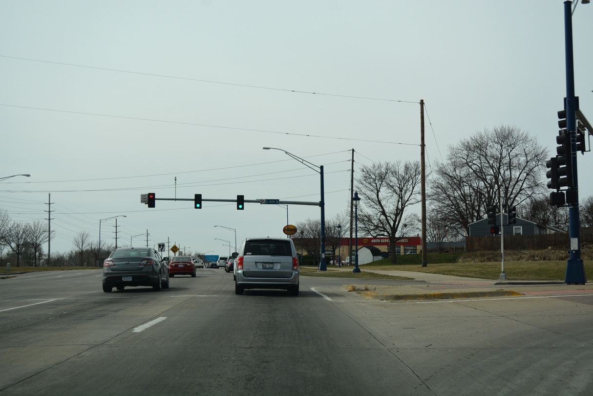
| The separate roadways for U.S. 30/67 combine into a four lane arterial south of 24th Place. The succeeding traffic light is with S 14th Street, which links Lincoln Way with an industrial area along Beaver Channel Parkway and Beaver Slough to the south and George O. Morris Park and Bluff Boulevard to the north. 03/12/17 |
|
| U.S. 30 west and U.S. 67 south widen into a five lane commercial boulevard beyond the intersection with 14th Street. 03/12/17 |
|
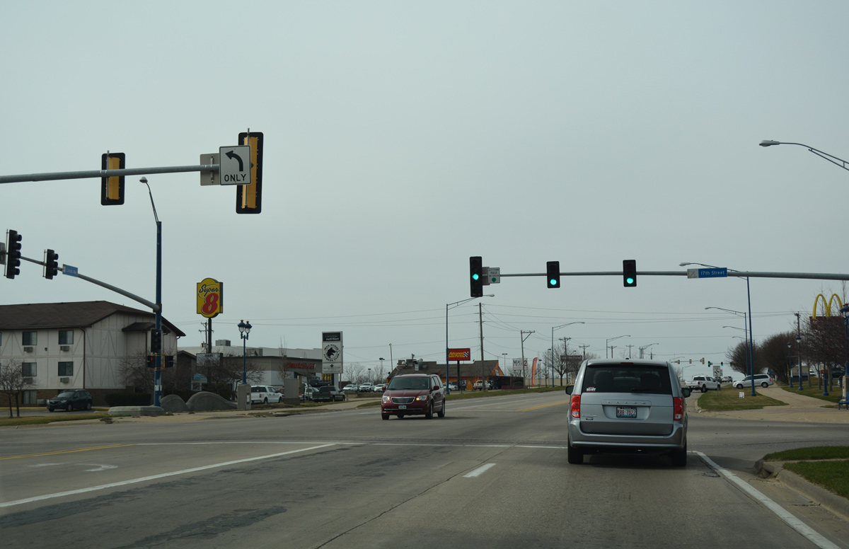
| Several big box stores and fast food franchises line Lincoln Way over the ensuing stretch westbound. S 17th Street serves business on both sides of the arterial while also connecting with Liberty Avenue. 03/12/17 |
|
| The final shield assembly along the 3.2 mile overlap of U.S. 30/67 stands ahead of S 19th Street. S 19th Street leads north to Manufacturing Drive and S Bluff Boulevard. 03/12/17 |
|
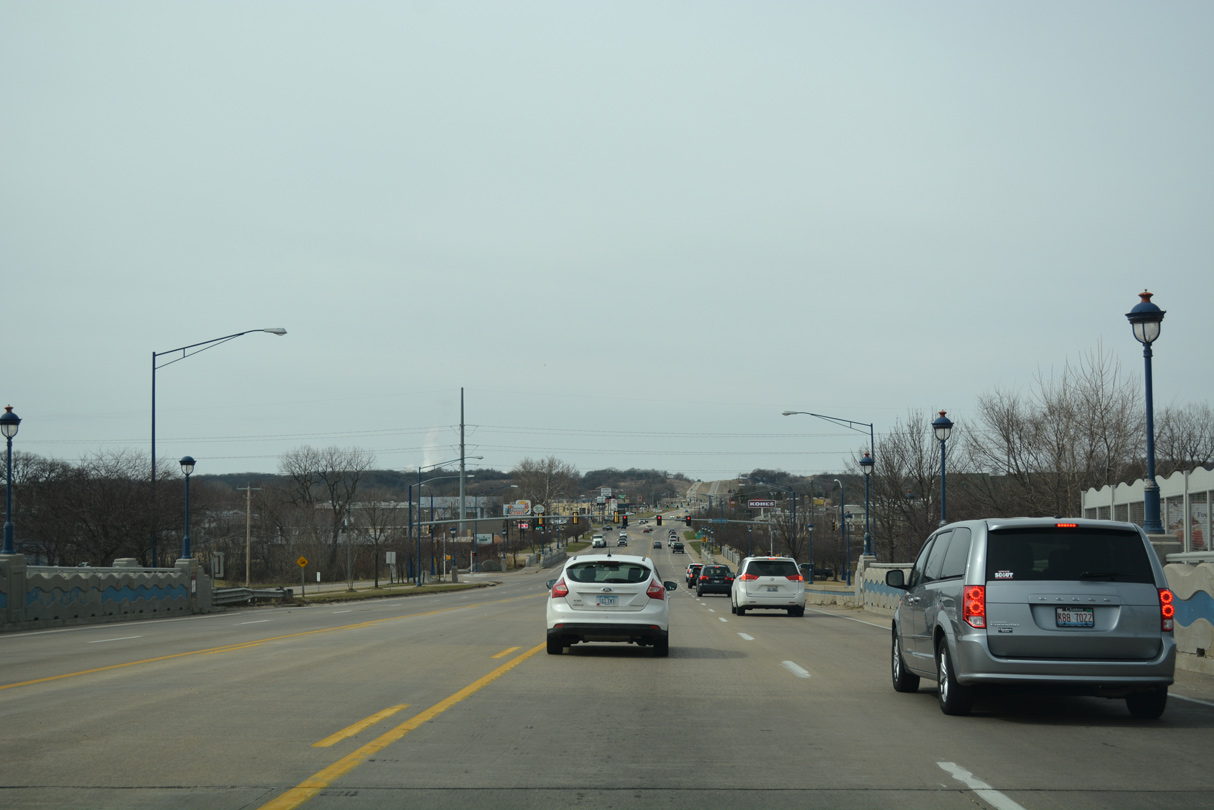
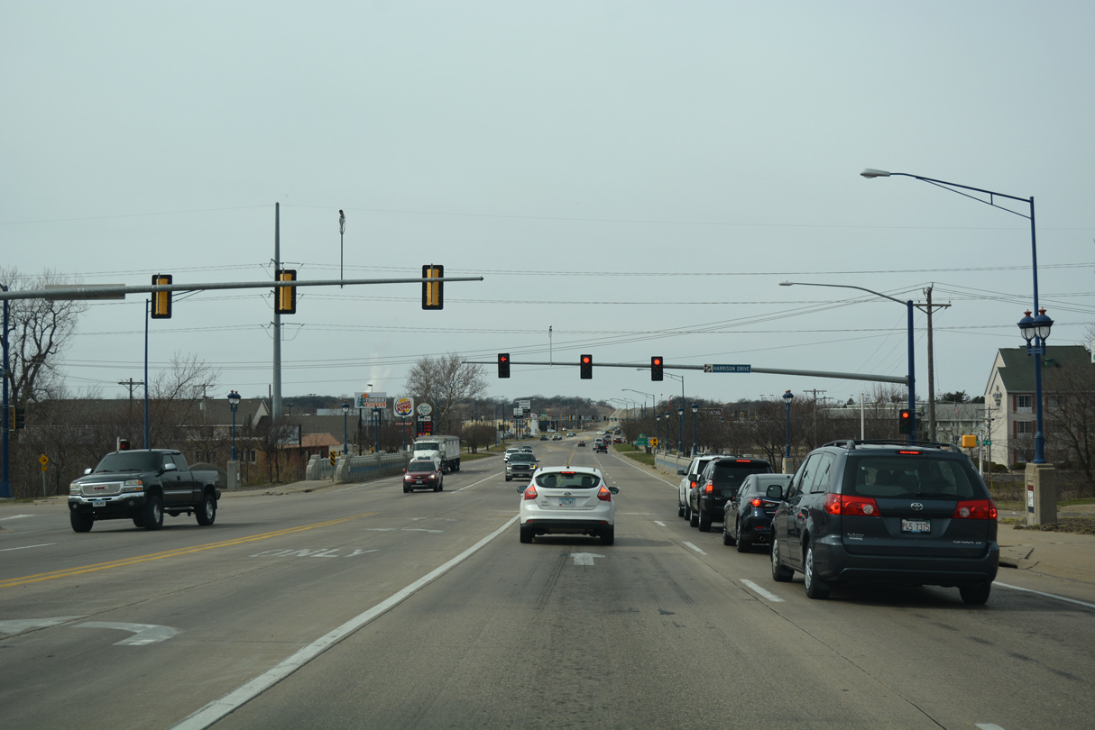
| U.S. 30/67 elevate above a Union Pacific Railroad spur on a 2000-built bridge preceding Harrison Drive. 03/12/17 |
|
| Harrison Drive links U.S. 30/67 with industrial businesses both north and south of Lincoln Way. 03/12/17 |
|
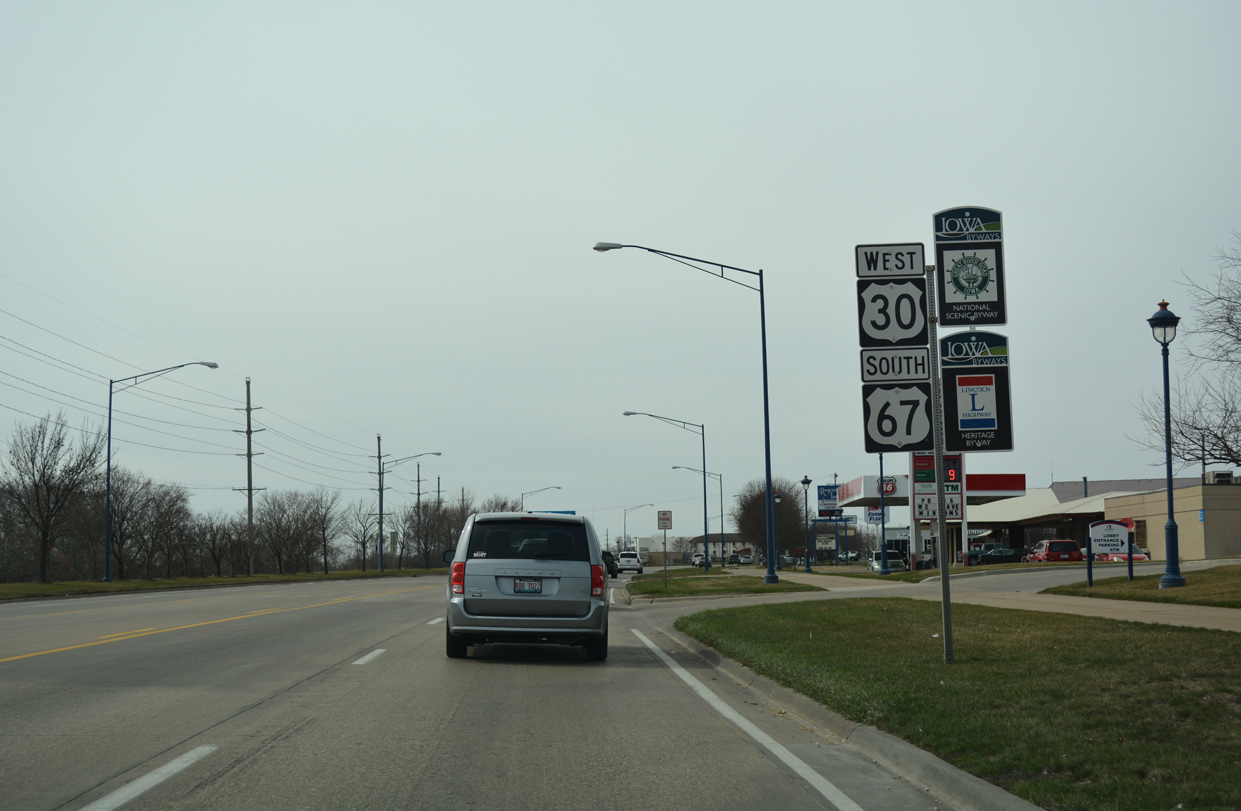
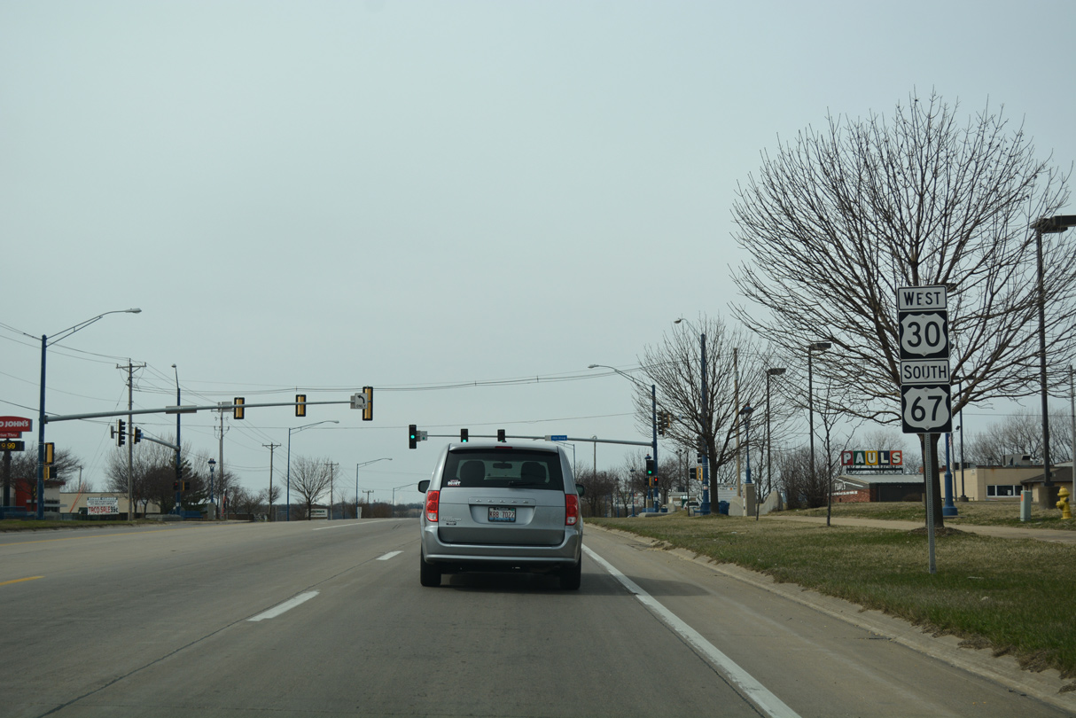
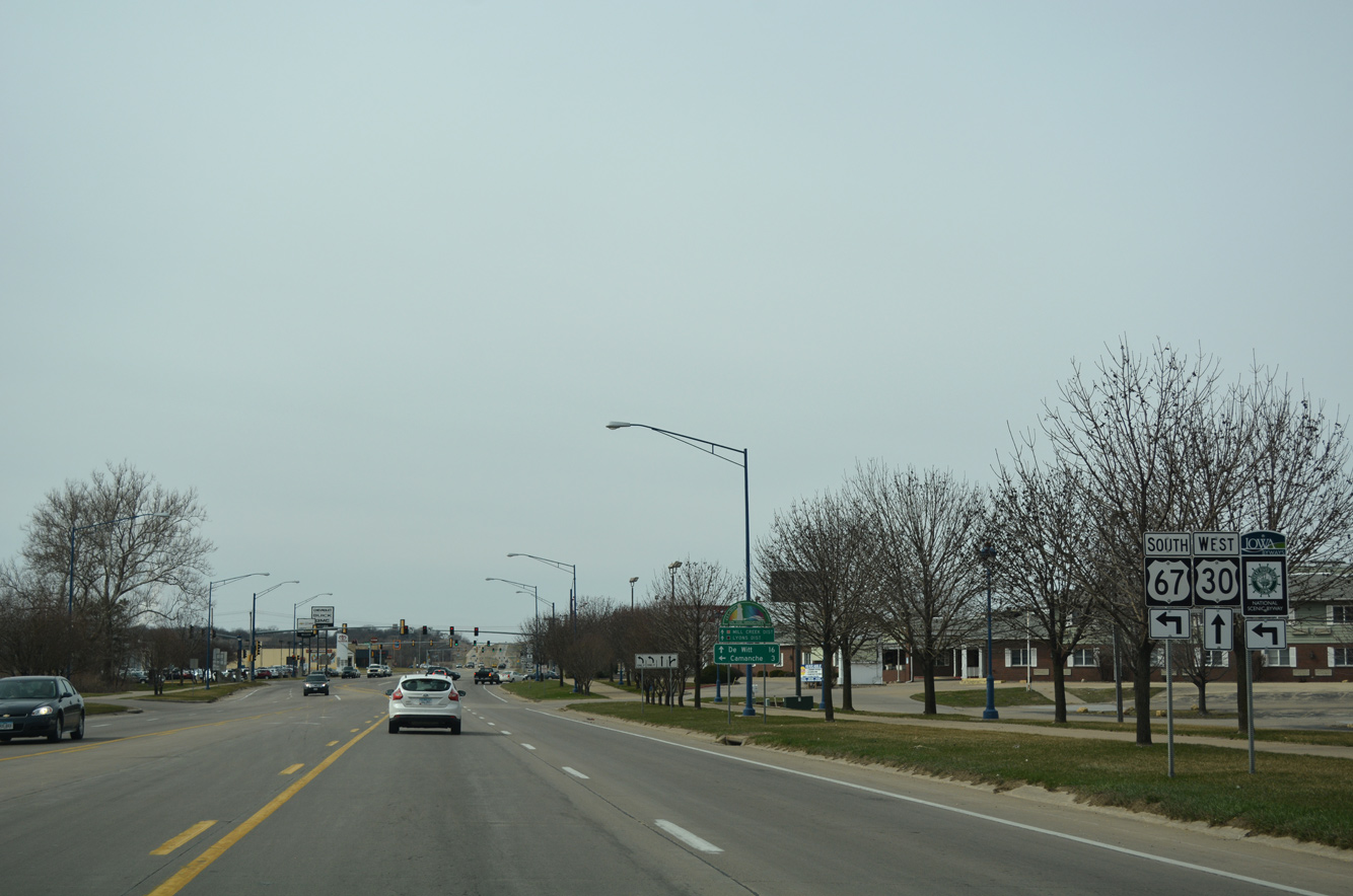
| U.S. 30 /67 part ways west of Mill Creek. U.S. 30 continues west along Lincoln Way to the Mill Creek and Lyons Districts of Clinton while U.S. 67 angles southward to the city of Camanche. 03/12/17 |
|
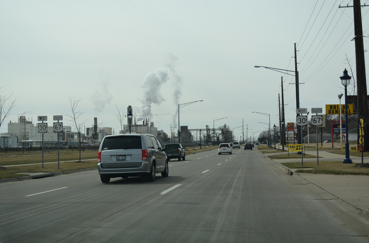
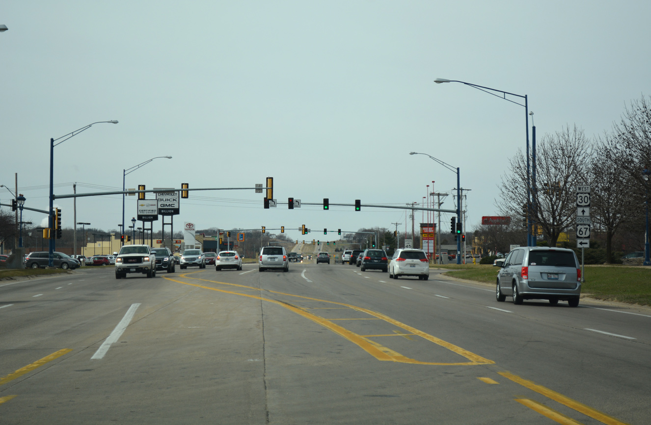
| Additional big box retail lies at the north side of the U.S. 30/67 split adjacent to Valley West Court. Beyond the succeeding two traffic lights, U.S. 30 upgrades into expressway en route to De Witt while U.S. 67 resumes as a four lane arterial southwest toward the Quad Cities. 03/12/17 |
|
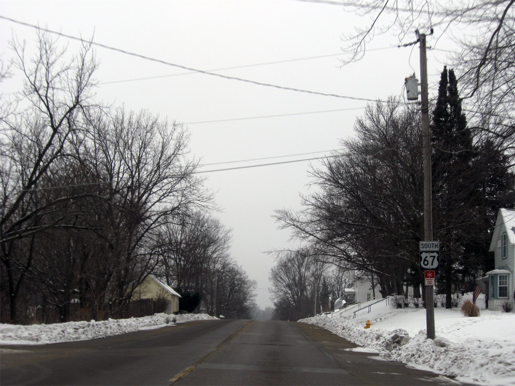
| Reassurance marker posted for U.S. 67 south at the beginning of Washington Boulevard. 12/21/09 |
|
| U.S. 67 (Washington Boulevard) passes over a Union Pacific Railroad and enters the city limits of Camanche. 12/21/09 |
|
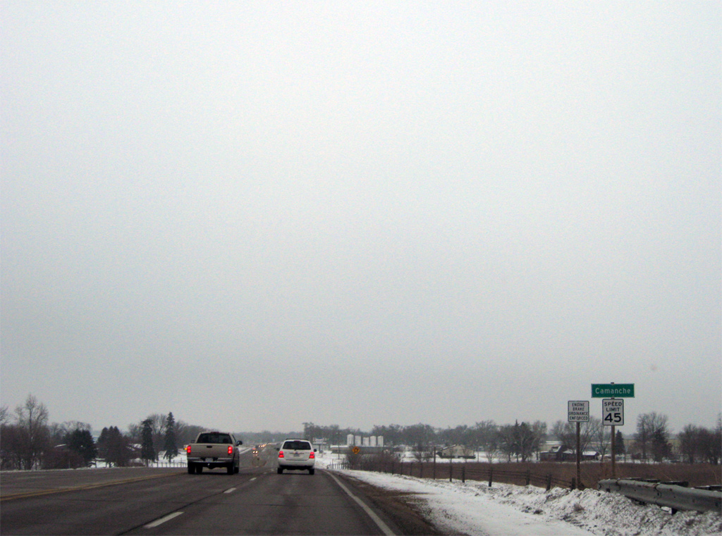
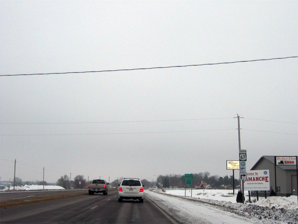
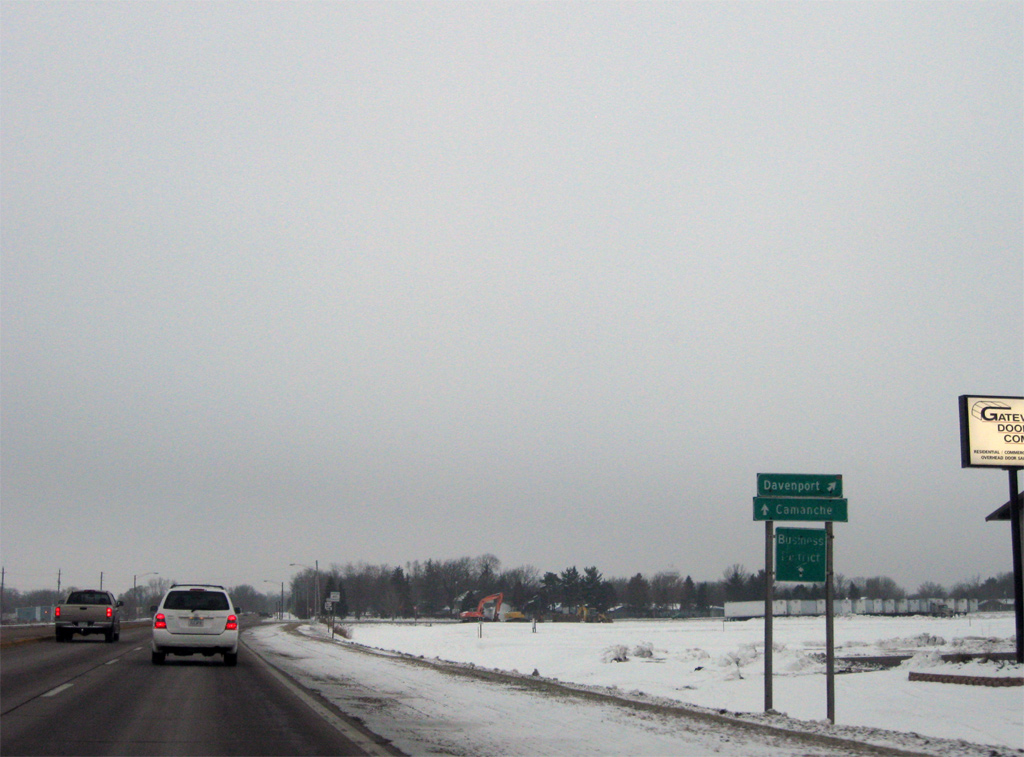
| Three quarters of a mile south of the city line, U.S. 67 turns west from Washington Boulevard to bypass Camanche. Washington Boulevard, the original alignment of U.S. 67, acts as a business loop to the Camanche Business District. 12/21/09 |
|
| The heart of Camanche lies adjacent to the Mississippi River while U.S. 67 stays well to the northwest on an expressway type bypass. 12/21/09 |
|
| Facing west, U.S. 67 reduces to two lanes through the north side of Camanche. 12/21/09 |
|
| 7th Avenue is the first of three Camanche through streets to radiate outward from the city center to meet U.S. 67 on the bypass. 12/21/09 |
|
| Residential areas abut the south side of the U.S. 67 Camanche bypass to 9th Avenue. 12/21/09 |
|
| 9th Avenue heads northwest from the Mississippi Riverfront to Camanche High School and U.S. 67 to become 21st Street westward by an industrial plant to Low Moor. 12/21/09 |
|
| Turning southwest, U.S. 67 lines an area of swamp and small lakes to the south end of Washington Boulevard. 12/21/09 |
|
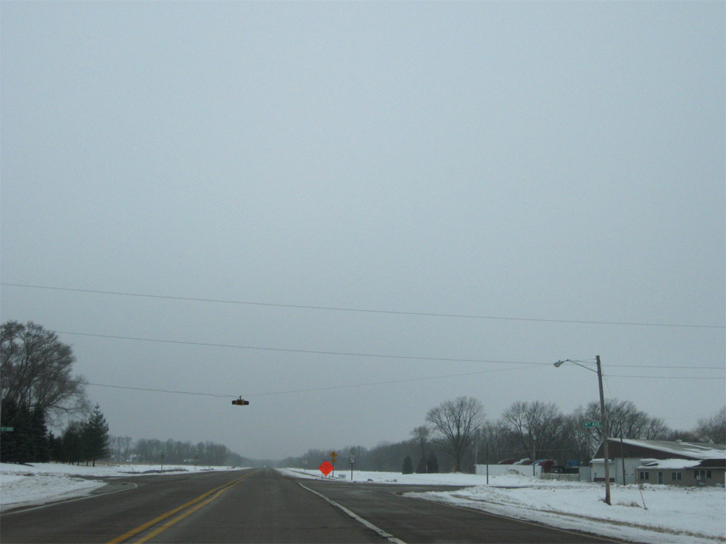
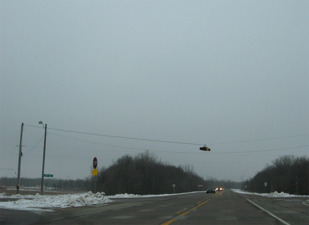
| 9th Street crosses U.S. 67 at the third flasher on the west side of Camanche. 12/21/09 |
|
| A forested stretch of U.S. 67 ensues to the east of Nancy Elaine Lake. 12/21/09 |
|
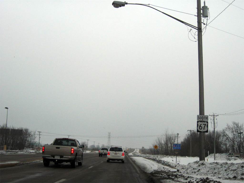
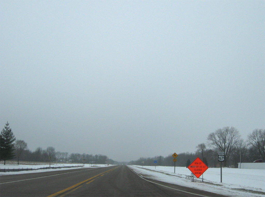
| West of the merge with Washington Boulevard, U.S. 67 intersects 37th Avenue and sees this distance sign posted for the final 29 miles of the route in Iowa. 12/21/09 |
|
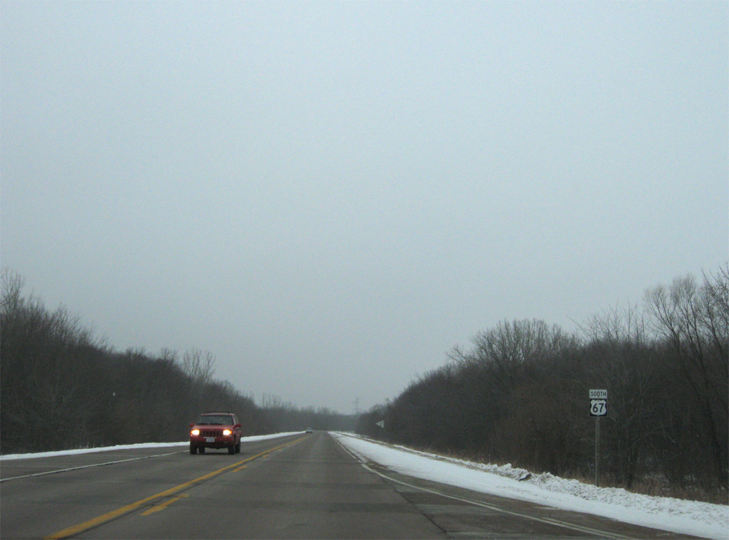
| 3rd Street stems west from U.S. 67 at this shield assembly to become 275th Street through open farm land. 12/21/09 |
|
| Advancing to Shaffton on U.S. 67 south at 400th Avenue. 12/21/09 |
|
| Entering the unincorporated community of Folletts on U.S. 67 south. The route turns from west to south ahead at 380th Avenue. 12/21/09 |
|
| A short residential stretch takes U.S. 67 south from County Road Z36 through Folletts. 12/21/09 |
|
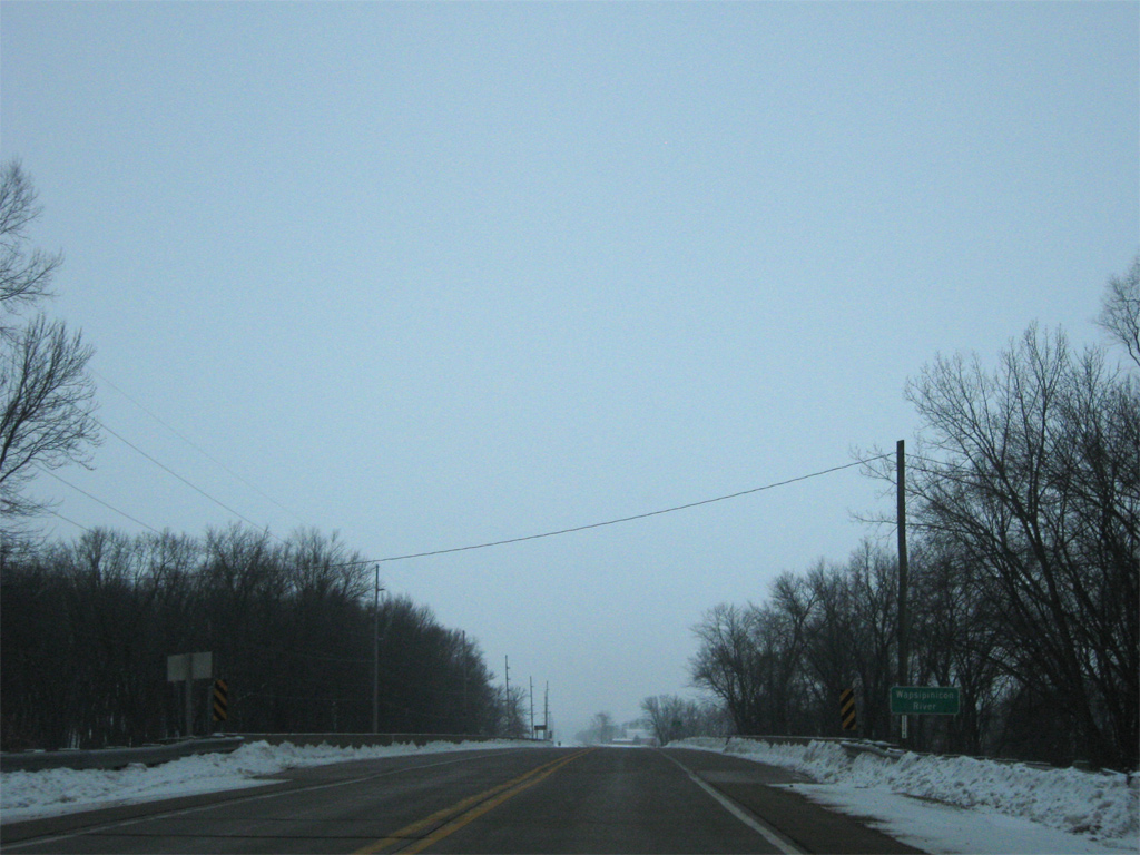
| U.S. 67 winds southwest across a dense forest surrounding the Wapsipinicon River. 12/21/09 |
|
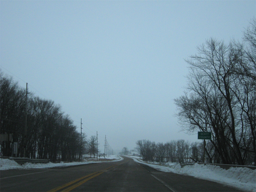
| The Wapsipinicon River separates Clinton and Scott Counties westward along the majority of their shared boundary. 12/21/09 |
Page Updated 03-12-2013.

 South
South  West
West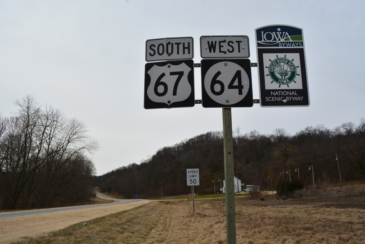
 South
South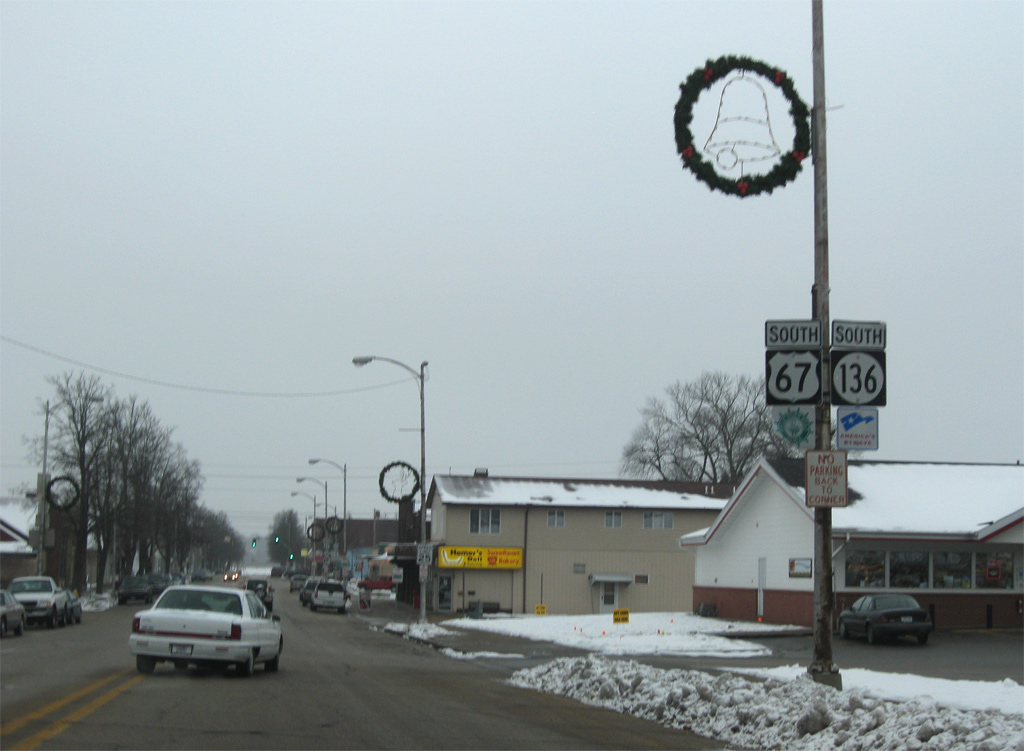


 West
West