
The Monroe Expressway is an 18.68 mile1 toll road that serves as a bypass for U.S. 74 (Independence/Roosevelt Boulevard) through Indian Trail, Monroe, and Wingate in Union County. The expressway doubles as U.S. 74 Bypass.
U.S. 74 Bypass Guides
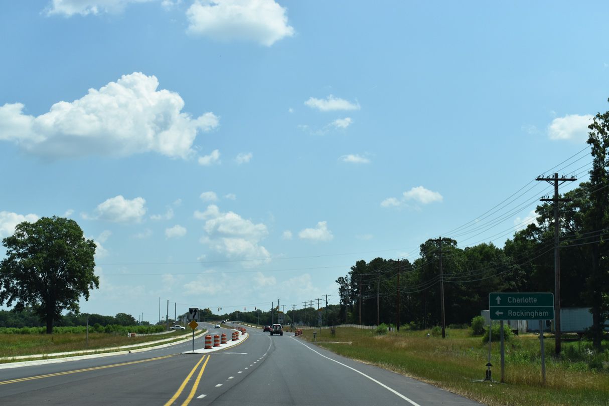
The Monroe Expressway initially follows U.S. 74 southeast from the exchange with Interstate 485 at Matthews, entering Union County ahead of Stallings Road (Exit 254). U.S. 74 Bypass overtakes the Monroe Expressway at a wye interchange (Exit 255) as the toll road curves northeast to Hemby Bridge while U.S. 74 (Independence Boulevard) continues southeast to Indian Trail and Monroe. The Monroe Expressway resumes a southeasterly course beyond Exit 257, staying approximately two miles north of U.S. 74 to an interchange with NC 200. The toll road angles east ahead of Austin Chaney Road, staying north of the town limits of Wingate before one final turn southeast. The Monroe Expressway and U.S. 74 Bypass conclude at a merge with U.S. 74 ahead of Marshville.
Two decades in planning, construction began on the Monroe Expressway in May 2015. It officially opened to traffic on November 27, 2018.2 The expressway operates under the NC Turnpike Authority, with seven All Electronic Toll (AET) gantries along its course.
 Scenes
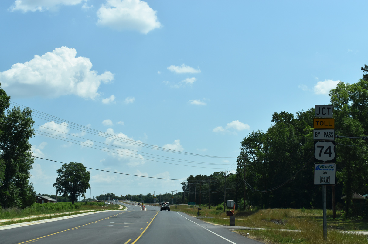
Indian Trail Fairview Road meets the Monroe bypass ahead of the town of Hemby Bridge.
05/26/19
05/26/19
05/26/19
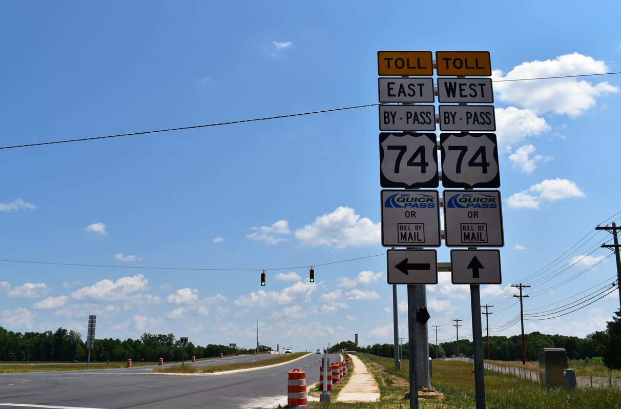
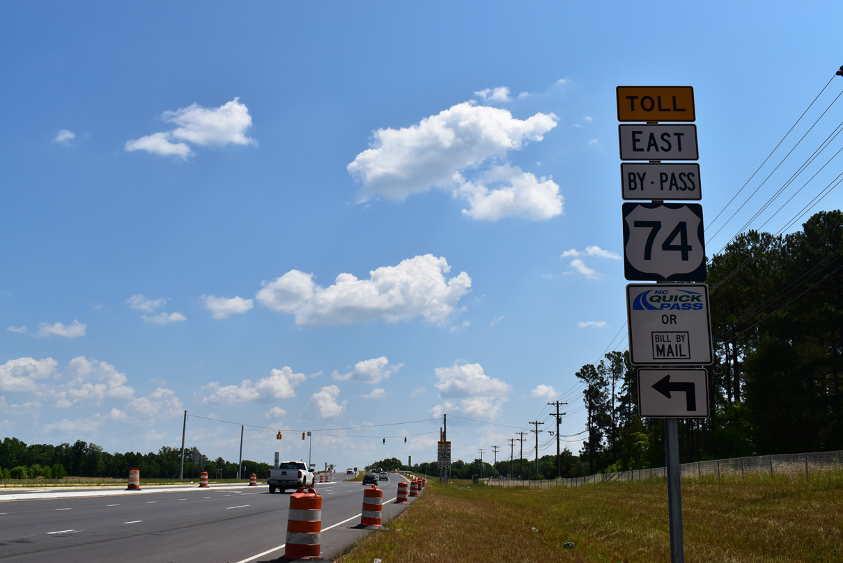
U.S. 74 Bypass (Monroe Expressway) ties into U.S. 74 at either end of the 18.7 mile limited access toll road.
05/26/19