With a reroute of U.S. 77 through Victoria, U.S. 77 Alternate was designated along the former alignment in 1953. The 91.3 mile long highway branches north from Refugio to Goliad, Cuero and Yoakum to reconvene with U.S. 77 at Hallettsville. Business U.S. 77-Q loops to Downtown Yoakum along the original course of U.S. 77 through the city.
|
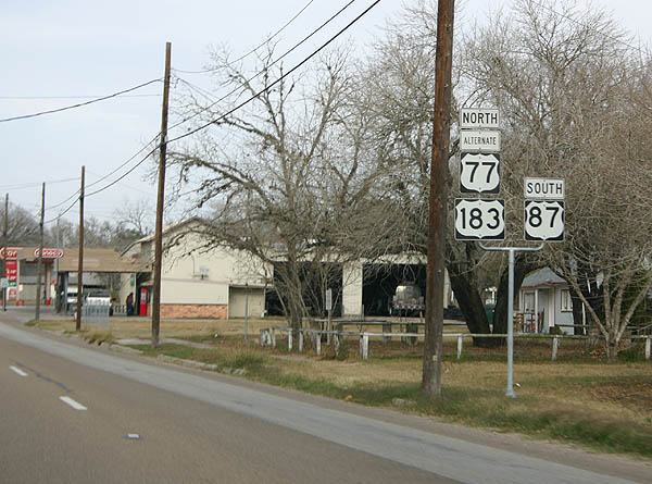
| Confirming markers for U.S. 77 Alternate-183 north & 87 south posted along Esplanade Street after SH 72 (Heaton Street) in Cuero. 01/04/06 |
|
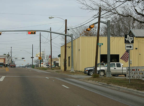
| FM 236 begins at U.S. 77 Alternate-183-87 (Esplanade Street) and Morgan Street outside Downtown Cuero. The a 28.18 mile long route provides an alternate route southeast to Victoria, ending at U.S. 59 Business. 01/04/06 |
|
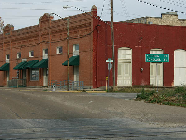
| A distance sign referencing the U.S. 87 south and 183 north destinations of Victoria and Gonzales previously stood along Esplanade Street by the Union Pacific Railroad grade crossing. A street scaping project removed this assembly by 2011. 01/04/06 |
|
| U.S. 87 resumes a southward heading from U.S. 77 Alternate & 183 along Broadway Street in Downtown Cuero. 01/04/06 |
|
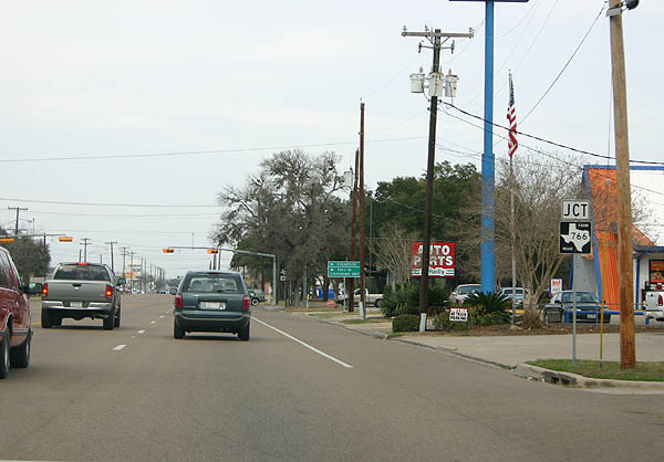
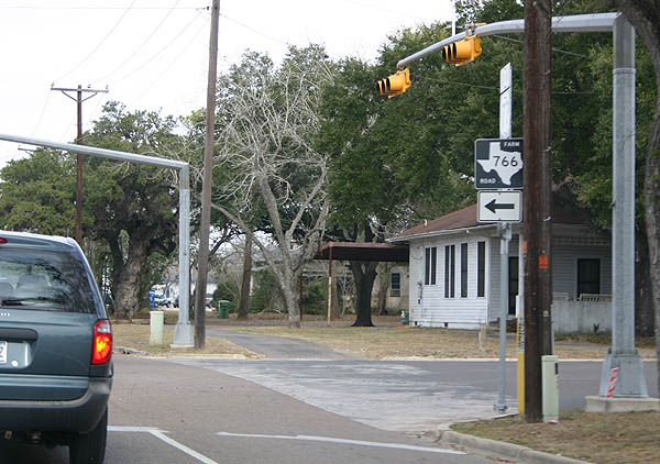
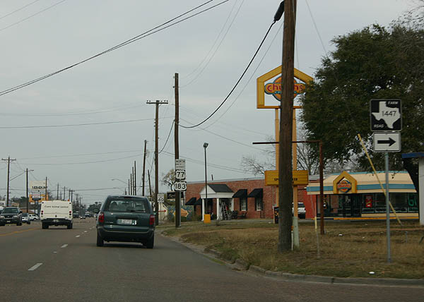
| Leading away from U.S. 87 (Broadway Street) and Downtown Cuero, U.S. 77 Alternate & 183 intersect FM 766 (Ruess Boulevard) and FM 1447 (Bailey Street) in quick succession. 01/04/06 |
|
| FM 766 loops 16.70 miles west from U.S. 183 to end in north De Witt County, 1.42 miles south of U.S. 183 & SH 111 along Steen Road 01/04/06 |
|
| FM 1447 stems east from U.S. 77 Alternate & 183 (Esplanade Street) along Bailey Street to Dahlman Street, where it shifts northward to undeveloped areas. 01/04/06 |
|
| FM 1447 navigates along a rural course 18.28 miles from Cuero to Terryville and SH 111. 01/04/06 |
|
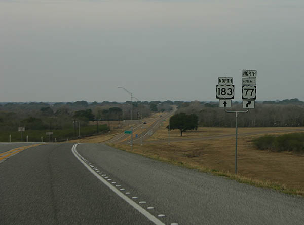
| Progressing through northern reaches of Cuero, U.S. 77 Alternate & 183 span a Union Pacific Railroad line and Old Yoakum Road just prior to their split. 01/04/06 |
|
| U.S. 77 Alternate branches northeast from U.S. 183, 17 miles to Yoakum while U.S. 183 stays northward 11.7 miles to Hochheim and SH 111. 01/04/06 |
|
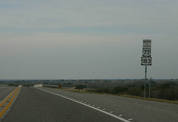
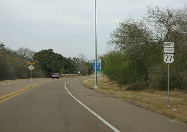
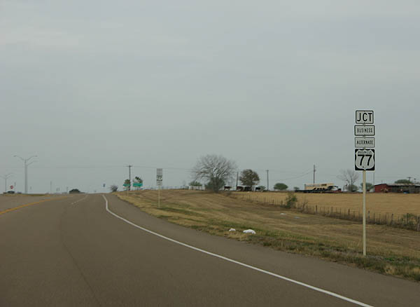
| Confirming marker for U.S. 77 Alternate north, posted beyond the wye intersection with U.S. 183. 01/04/06 |
|
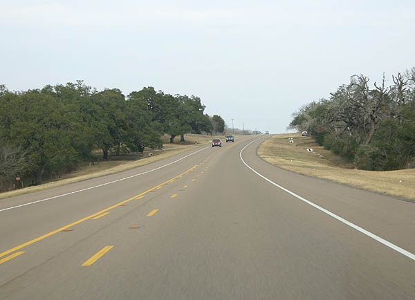
| U.S. 77 Alternate expands with a painted median, marked by a double set of stripes. 01/04/06 |
|
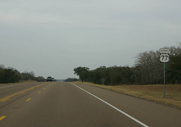
| Progressing north from the intersection with Hannessee Road west and Burns Ranch Road east on U.S. 77 Alternate. 01/04/06 |
|
| U.S. 77 Business separates from U.S. 77 Alternate at a rural wye intersection outside Yoakum. 01/04/06 |
|
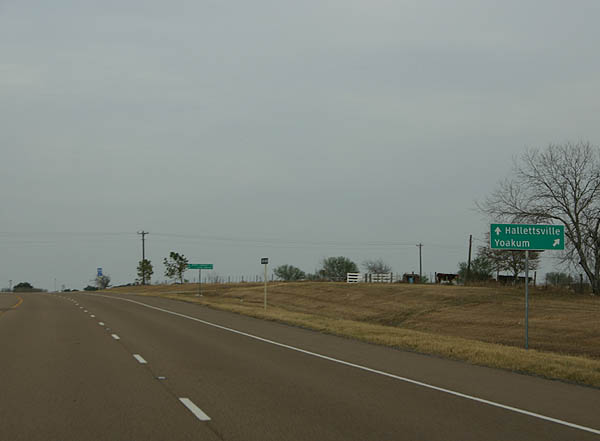
| The Yoakum business loop veers east from U.S. 77 Alternate to cross Big Brushy Creek onto Huck Street. U.S. 77 Business connects with SH 111 in Downtown. 01/04/06 |
|
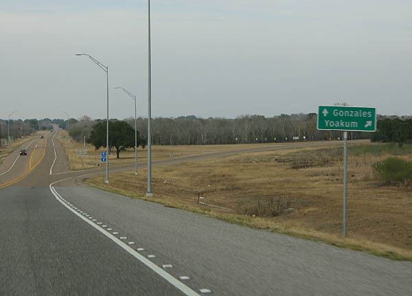
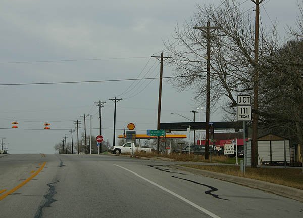
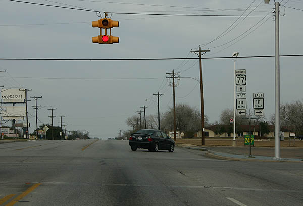
| Running along the northwestern periphery of Yoakum, U.S. 77 Alternate meets SH 111 (Grand Avenue). 01/04/06 |
|
| SH 111 travels north to Hochheim and Gonzales, and south to Edna, where it meets U.S. 59, and Midfield. 01/04/06 |
|
| U.S. 77 Business returns to U.S. 77 Alternate via Gonzales Street at the Lavaca County line. 01/04/06 |
|
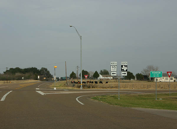
| SH 95 south and FM 3475 north come together by Yoakum Municipal Airport (T85). A 2.06 mile route, FM 3475 links U.S. 77 Alternate with FM 318 beyond Yoakum Municipal Park. 01/04/06 |
|
| SH 95 travels north through Shiner to meet IH 10 in Flatonia. Beyond there, the state highway continues to Bastrop to end at U.S. 190 near Temple. 01/04/06 |
Page Updated 02-09-2006.


 North
North  South
South