|
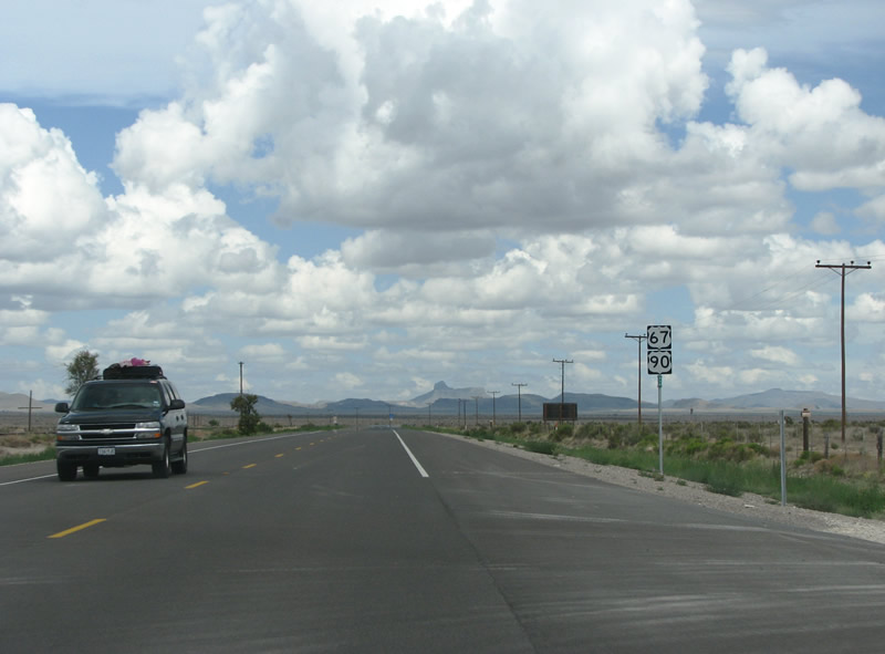
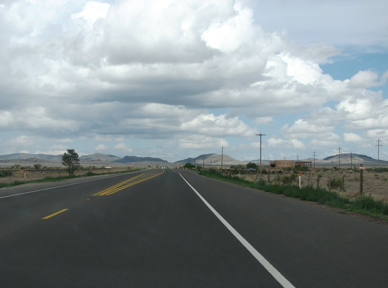
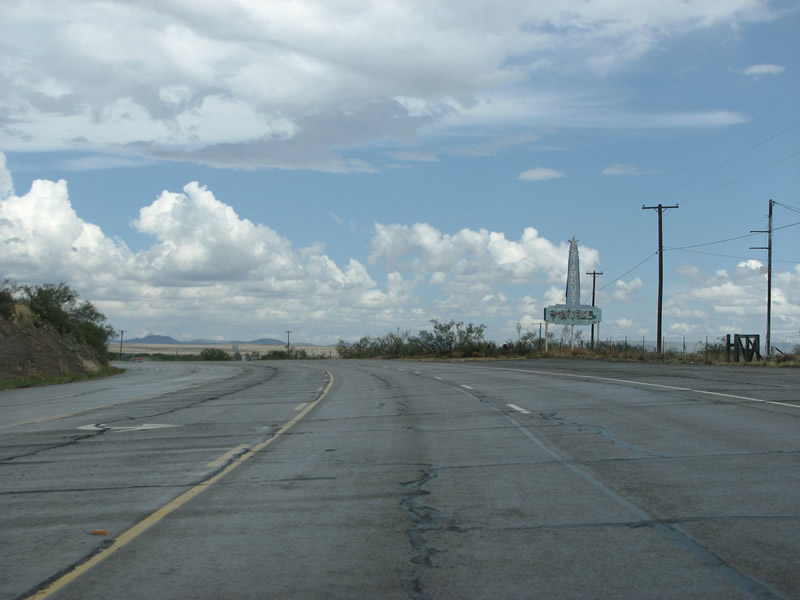
| This view looks east along US 90 in the Ryan Flat area of Presidio County. The landscape is flat here, but directly underneath sits a huge aquifer. 07/04/08 |
|
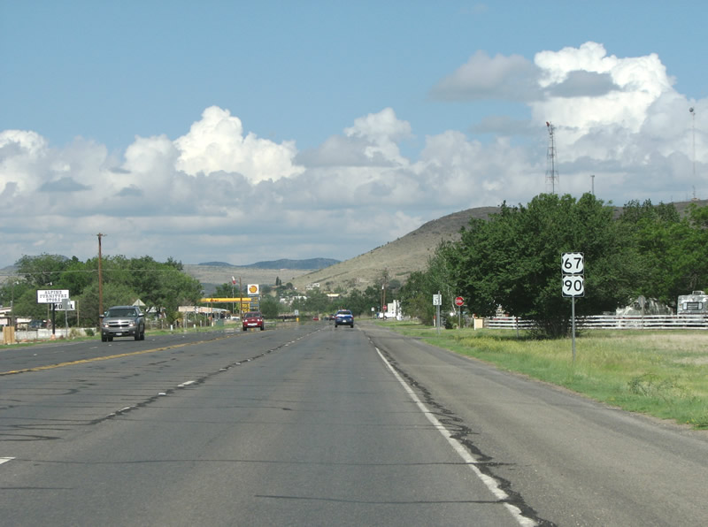
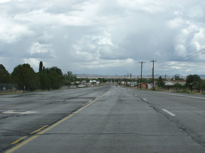
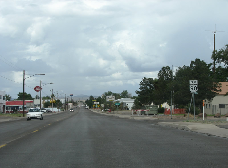
| US 90 goes expands to four lanes as it enters the city of Marfa. 07/04/08 |
|
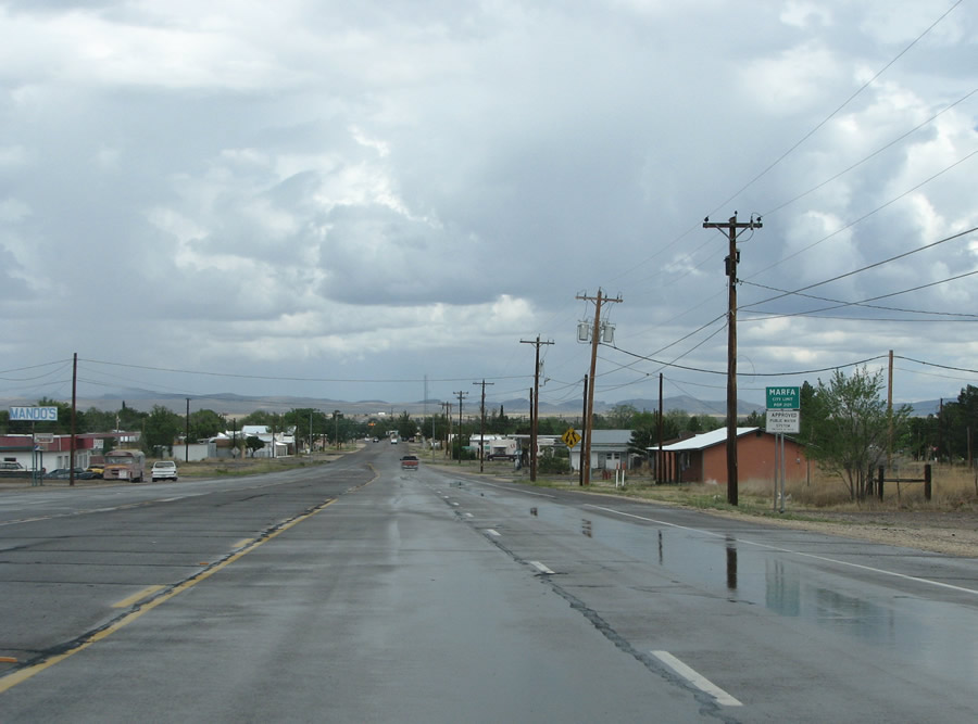
| Marfa is the county seat of Presidio County. Population numbers have dwindled from around 2,100 residents in 2000 to an estimated 1,772 in 2017. 07/04/08 |
|
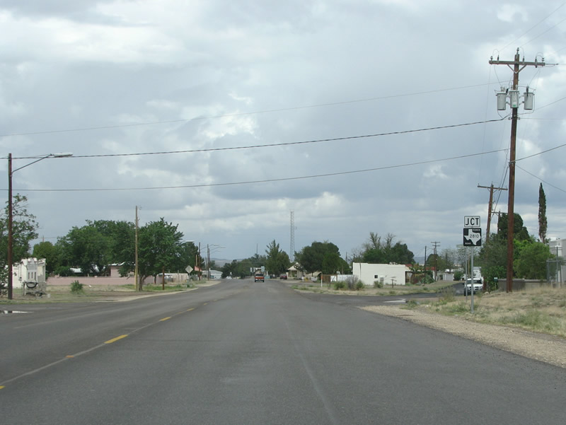
| Five and a half blocks into Marfa, U.S. 90 intersects the north end of RR 2810 at Hoover Street. 07/04/08 |
|
| RR 2810 runs south and west as a 31.93 mile long spur to various ranches. 07/04/08 |
|
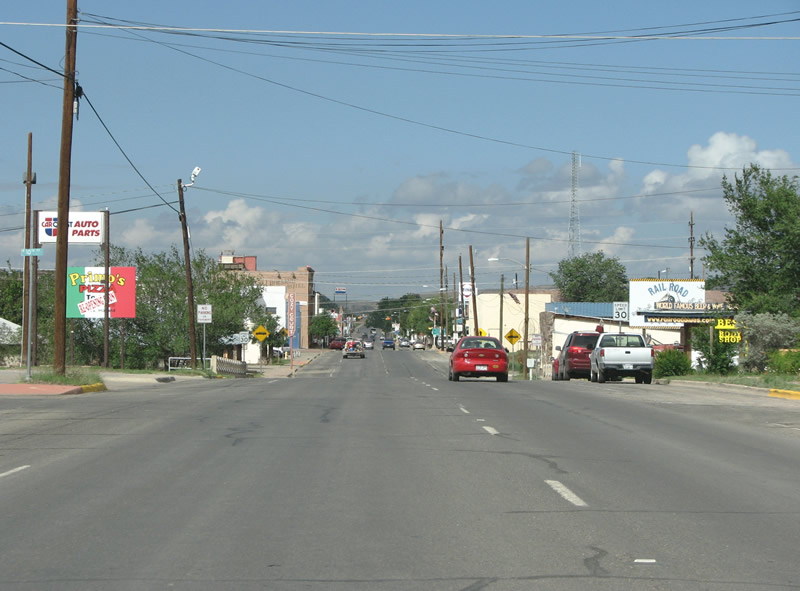
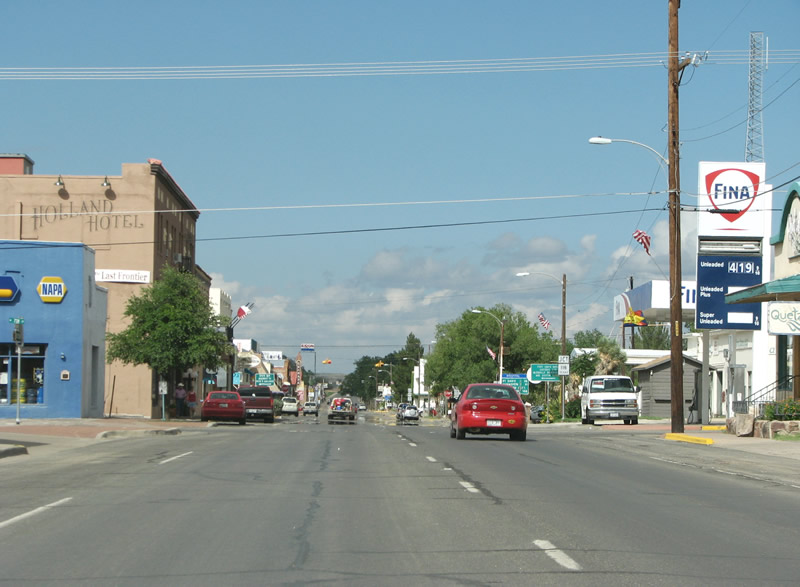
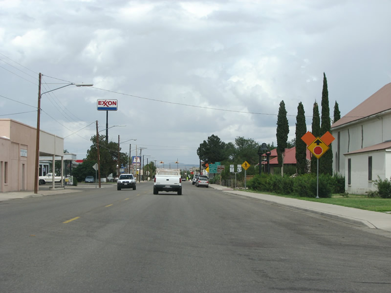
| Marfa has very little chain retail activity, and what there is of it is located along U.S. 90 (San Antonio Street) through here. 07/04/08 |
|
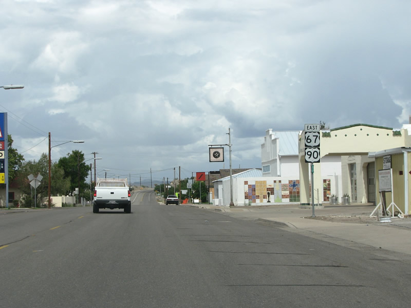
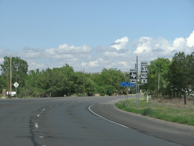
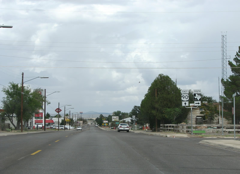
| The only traffic directive in town is the forthcoming stop light where U.S. 67 merges with U.S. 90 from the south. 07/04/08 |
|
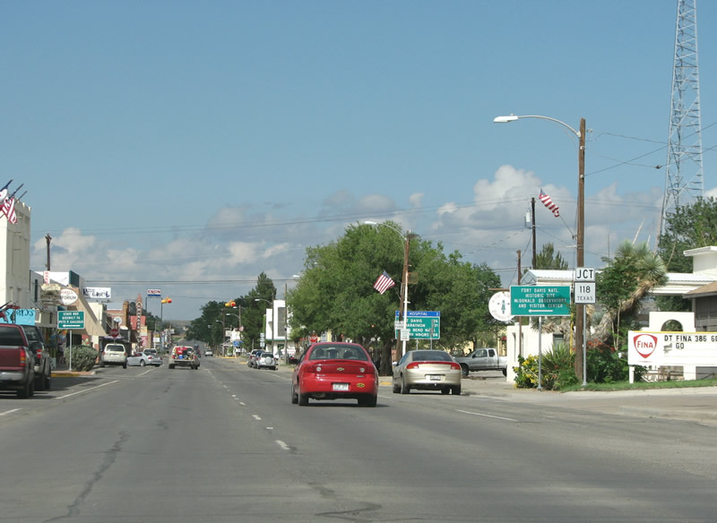
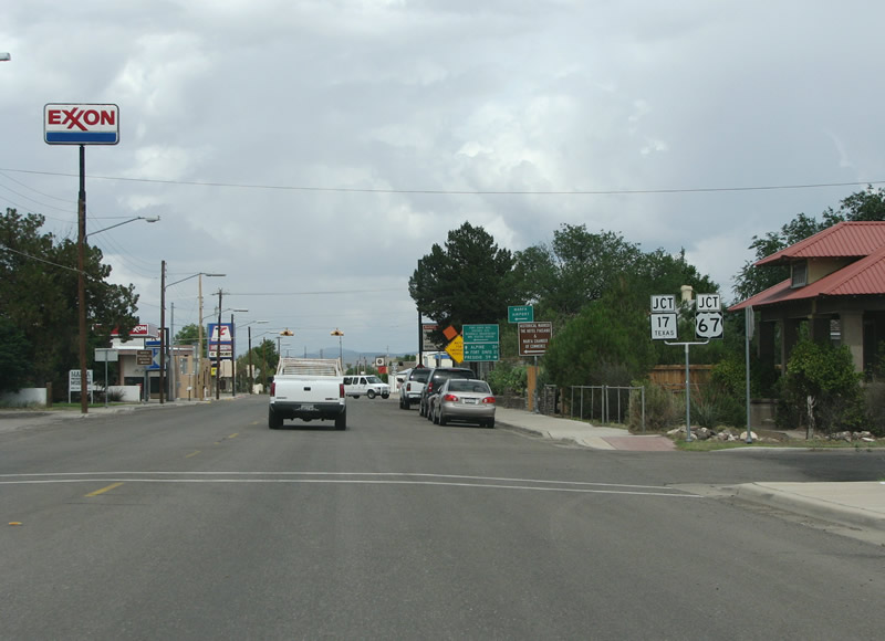
| SH 17 south ties into the intersection of U.S. 90 (San Antonio Street) and U.S. 67 (Highland Avenue) at the Marfa city center. Marfa is known throughout Texas as an artists' town. It has a many galleries, swanky restaurants and bookstores. 07/04/08 |
|
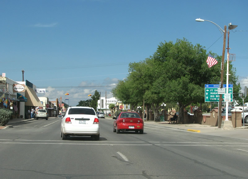
| Presidio, Mexico, and the southern end of U.S. 67 lie 60.14 miles south of here at the border. U.S. 67 also provides an alternate gateway to Big Bend National Park. 07/04/08 |
|
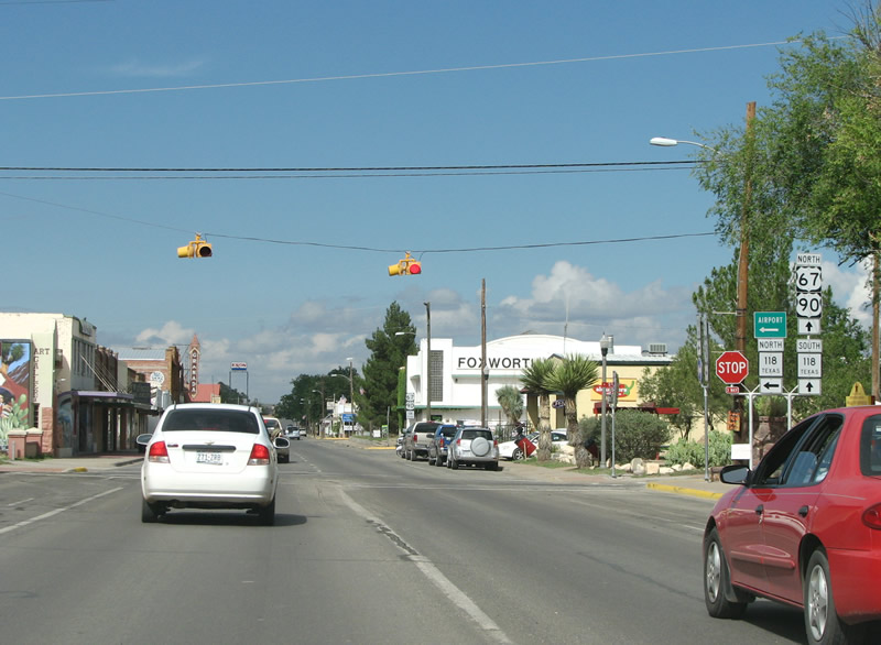
| U.S. 67 combines with U.S. 90 east 26.2 miles to Alpine while SH 17 runs north to IH 10 and IH 20. The Marfa Ballroom and other art galleries line the south side of San Antonio Street on this stretch. 07/04/08 |
|
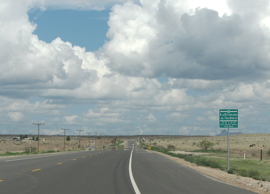
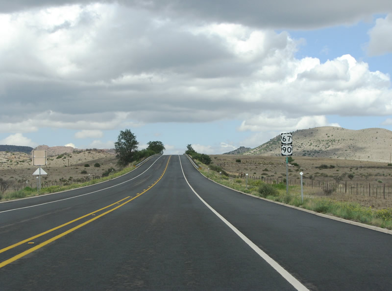
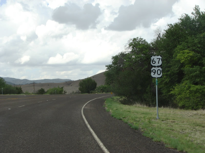
| U.S. 67/90 east from Marfa is part of the international Entrada al Pacifico Route. The route connects the Permian Basin of Texas with Mexican ports on the Pacific. It is very well signed in the United States. 07/04/08 |
|
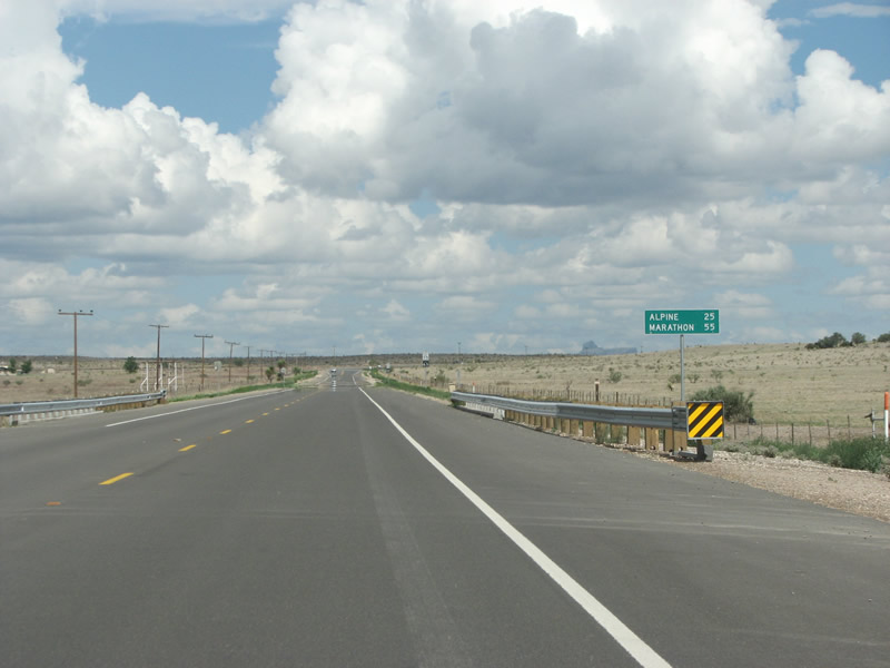
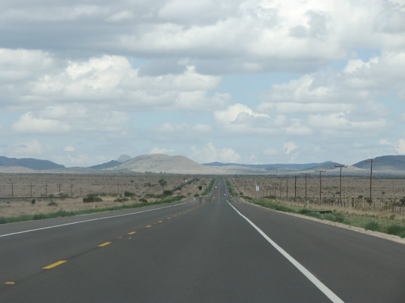
| The city of Alpine is the next population center along U.S. 67/90. Located about a 30 minute drive east of Marfa, Alpine is also the regional center. 07/04/08 |
|
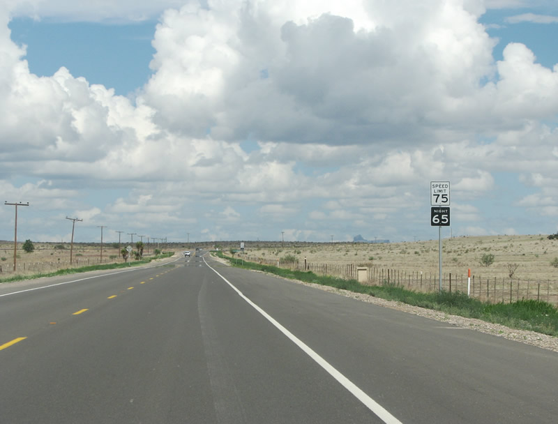
| In West Texas, even two lane roads have a 75 mph speed limit. Freeways have an 80 mph speed limit. 07/04/08 |
|
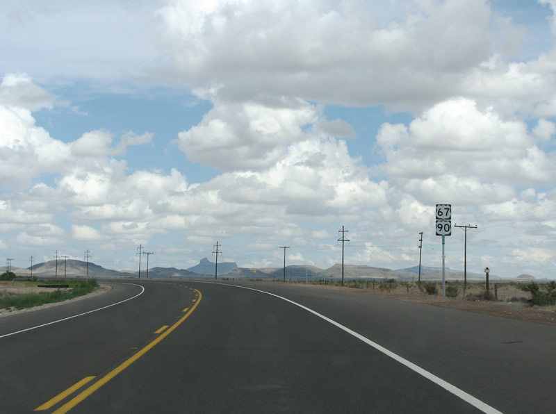
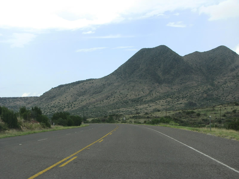
| With the northern edges of the Chisos Mountains rising in the distance, U.S. 67/90 enters the 101 Flat east of Marfa. This shield assembly precedes Colquitt Draw. 07/04/08 |
|
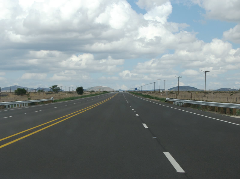
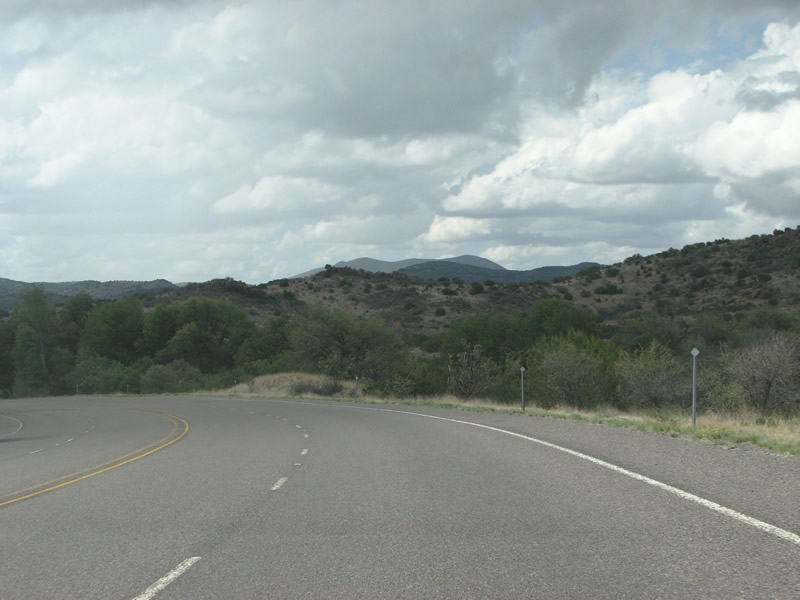
| Advancing east along U.S. 67/90 toward Alpine. Mountains sit to the north, south, and east of the route but the highway remains across through flat terrain. 07/04/08 |
|
| Marfa is famous internationally for the Marfa Lights, which is a mysterious phenomena that could be alien or terrestrial but is currently unexplained. The lights can be viewed along the flat around dusk. The state constructed a special viewing area along a straight away here on U.S. 67/90. 07/04/08 |
|
| US 67/90 runs through the Paisano Pass as it nears Alpine. The road enters and leaves Brewster County twice as ascends the pass, but only one county line is signed. This view is actually in Brewster County. 07/04/08 |
|
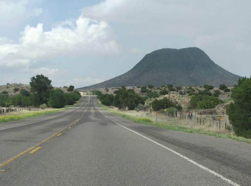
| Advancing east along U.S. 67/90 through Paisano Pass. Paisano Peak rises prominently to the east and south of the winding highway. A baptist camp sits along the county line. 07/04/08 |
|
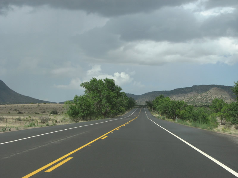
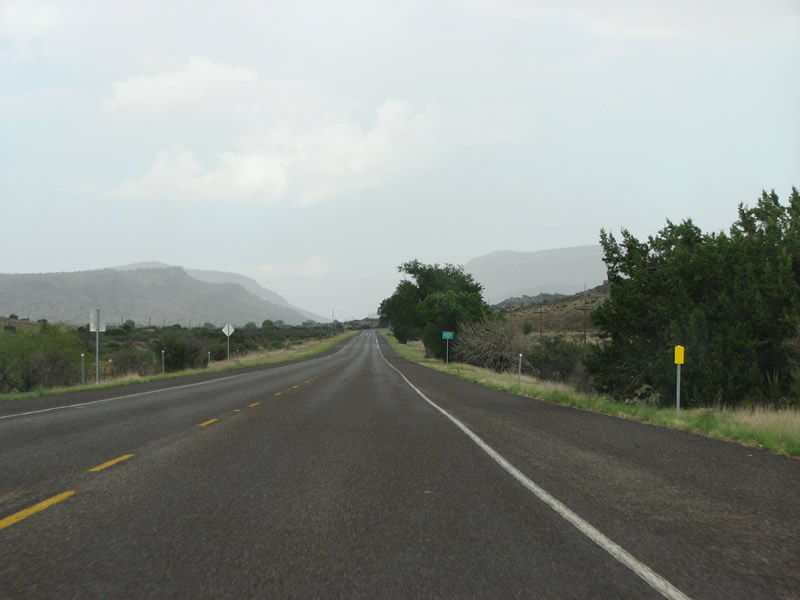
| A distant rainshower is indicative of the rainy season for this area, as U.S. 67/90 enters Brewster County. The county was named for the secretary of war for the Republic of Texas and is the largest county in the state. The county is larger than Delaware and Rhode Island put together. 07/04/08 |
|
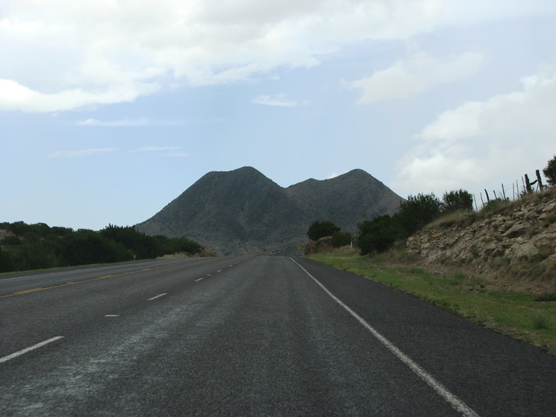
| U.S. 67/90 aim toward Twin Sisters peak alongside McIntyre Creek. 07/04/08 |
|
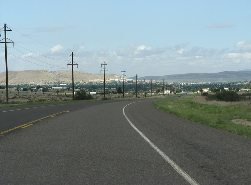
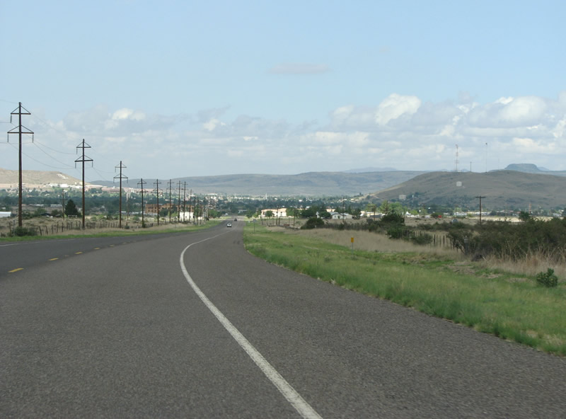
| Lowering nearly 500 feet in elevation from the Presidio County line, Alpine and its trees appear on the horizon. 07/04/08 |
|
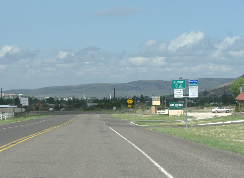
| Alpine started as a railroad stop called Osborne. The city was later renamed Murphyville after the Murphy family, who allowed the railroad to use their spring as a water source. It was renamed Alpine in 1888 in order to attract settlers. 07/04/08 |
|
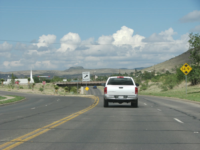
| Navigating through an S-curve, U.S. 67/90 pass under a Union Pacific Railroad line in Alpine. The letters SR appear along the distant hillside. Alpine is the home of Sul Ross State University, which was a big factor in the growth of the community over Marfa. Another hill has the letter A on it for the city name. 07/04/08 |
|
| FM 1703 spurs northwest 3.92 miles from U.S. 67/90 on the west side of Alpine. 07/04/08 |
|
| Alpine has a few chain establishments, but most business is decidedly local. Continuing across the city street grid, U.S. 67/90 splits into a one way couplet along Holland Avenue east and Avenue E west. 07/04/08 |
|
| A Texas Pacific Transportation Limited line spans U.S. 67/90 beyond the separation with Avenue E. 07/04/08 |
|
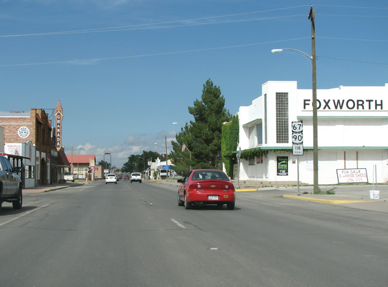
| U.S. 67/90 (Holland Avenue) travels east into the Alpine business district. 07/04/08 |
|
| SH 118 runs south to Big Bend from Alpine and north to IH 10. The state highway is the main north/south road in Brewster County. 07/04/08 |
|
| Big Bend National Park headquarters lies 108 miles to the east and south along U.S. 385. The unincorporated community of Ft. Davis is 26 miles to the northwest at the crossroads of SH 118 and 17. 07/04/08 |
|
| SH 118 (N 5th Street) connects Downtown Alpine with Alpine-Casparis Municipal Airport (ALE) on the north side of town. 07/04/08 |
|
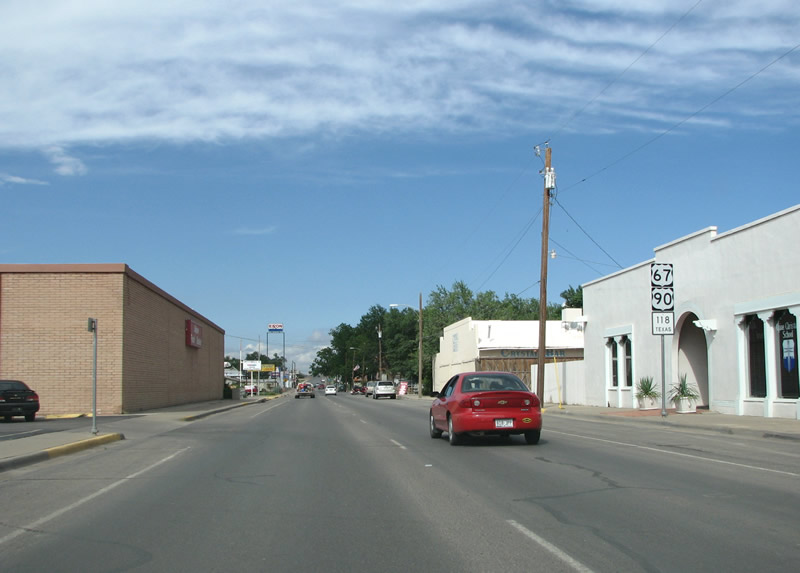
| SH 118 overlaps with the US highways seven blocks east from Downtown Alpine to Cockrell Street. Alpine, Marathon, Marfa and Fort Davis are all quirkly touristy towns popular with Texans and New Mexicans, but see little tourist traffic from other places. Each are home to an array of art galleries, local restaurants and cultural activities. 07/04/08 |
|
| U.S. 67/90 and SH 118 shields formerly posted at Holland Avenue and 2nd Street. This assembly was removed by 2012 and the adjacent Food Basket was changed to Porter' Thriftway. 07/04/08 |
|
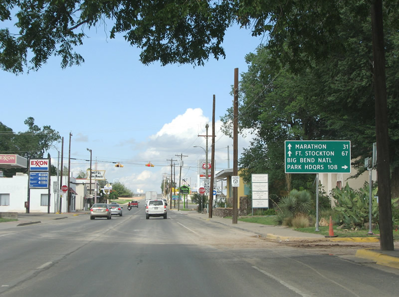
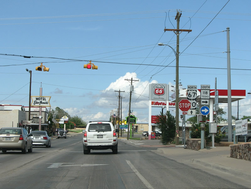
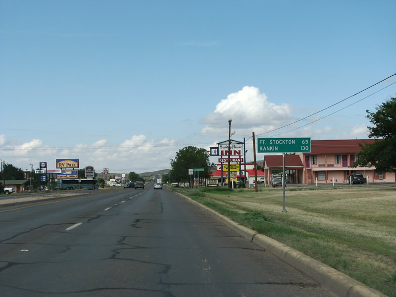
| Marathon, the only other town in Brewster County, is about 30 minutes to the east of the split with SH 118 along U.S. 90. Fort Stockton along U.S. 67 and IH 10 lies 67 miles to the northeast. 07/04/08 |
|
| SH 118 leaves U.S. 67/90 and the city of Alpine on a 80.22 mile course to runs south to Big Bend National Park. 07/04/08 |
|
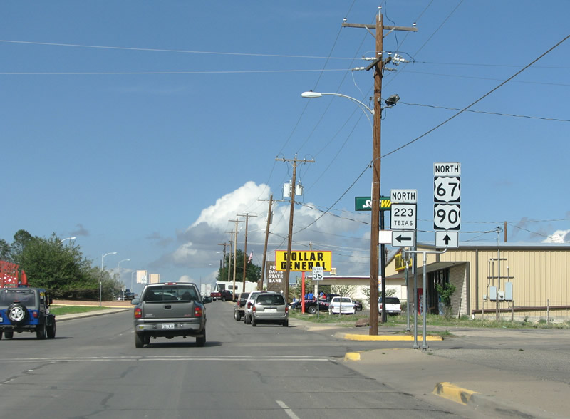
| SH 223 forms a 1.64 mile loop within Alpine from U.S. 67/90 north along Harrison Street and west on Hendryx Avenue to SH 118 by Kokernot Municipal Park. 07/04/08 |
|
| Both control points listed on this distance sign fall along U.S. 67 well beyond the split with U.S. 90 outside Alpine. Alpine is fairly far from any freeways, about an hour at best. The town regularly makes lists as one of the top places to retire in the US. Its low population is a sign that not many people take that to heart. 07/04/08 |
Page Updated 07-11-2019.

 East
East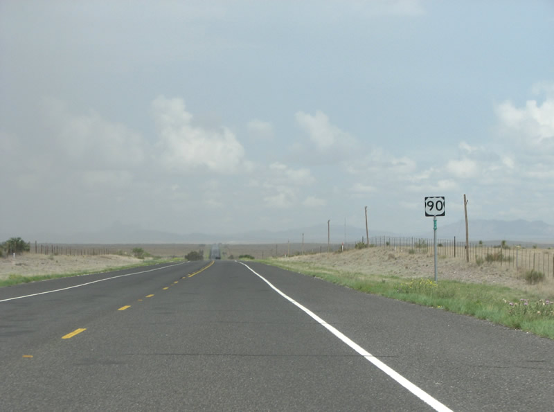

 North
North