|
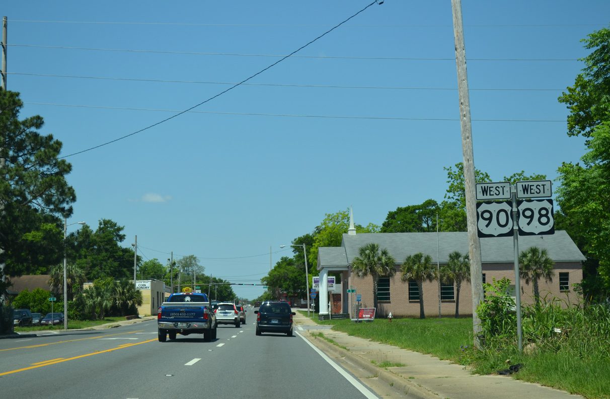
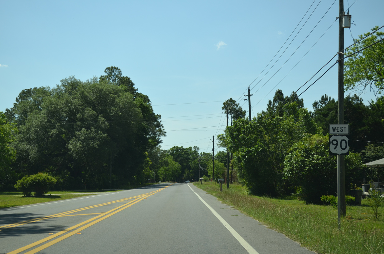
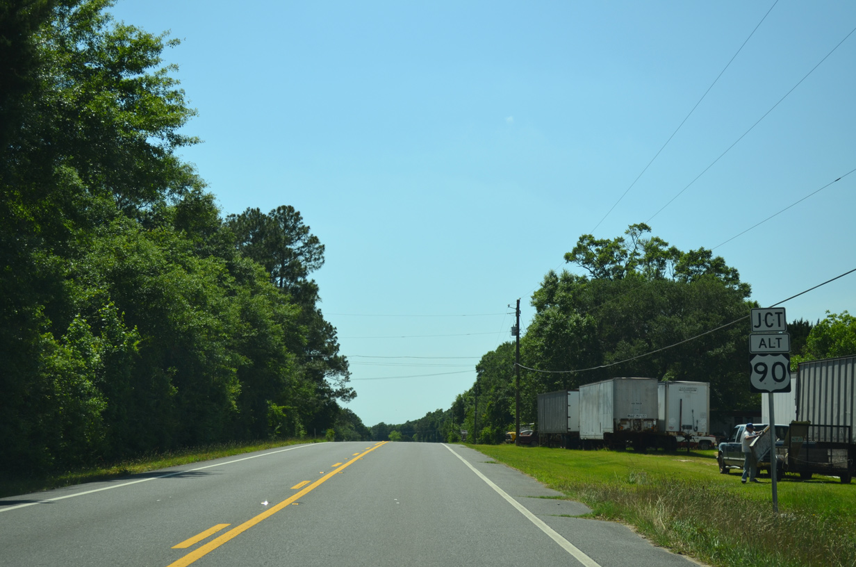
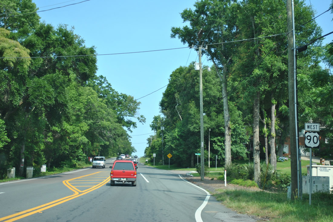
| U.S. 90 splits with U.S. 90 Alternate (Davis Highway) immediately after the Escambia River bridge. Nine Mile Road carries the majority of the bannered route west to Ensley and I-10 (Exit 5) before it rejoins U.S. 90 at Beulah. U.S. 90 Alternate doubles as unsigned SR 10, while SR 10A accompanies U.S. 90 along the loop south through Pensacola. 12/09/12 |
|
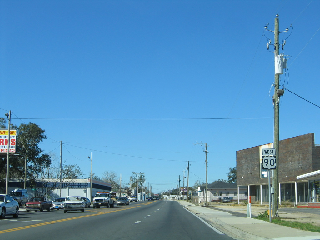
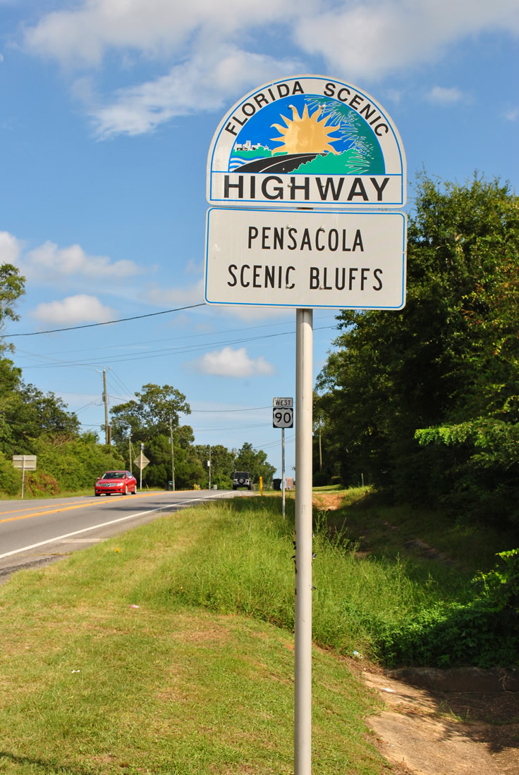
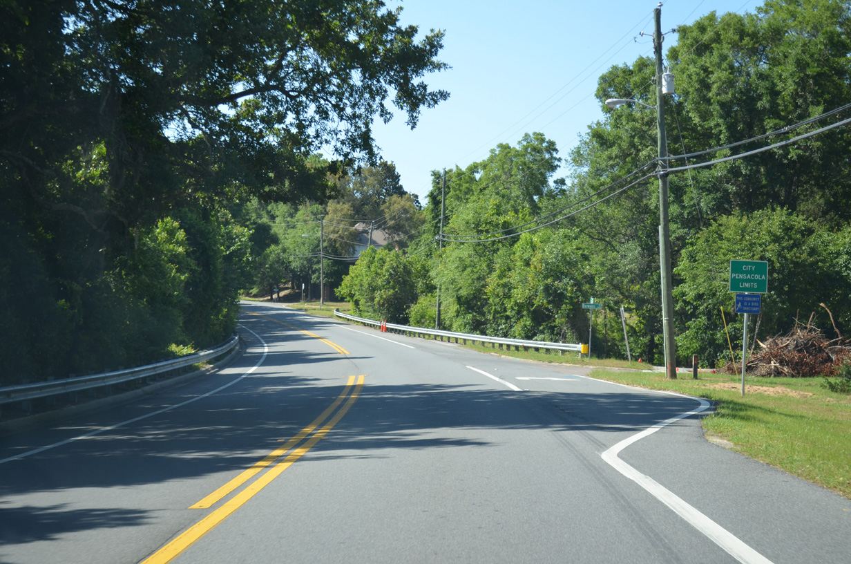
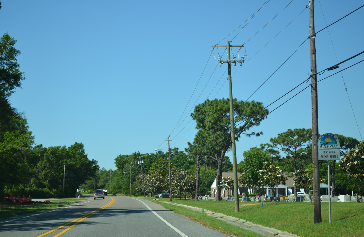
| U.S. 90 along Scenic Highway in Escambia County was designated a Florida Scenic Highway in 1999. A trailblazer marks byway just south of the split with U.S. 90 Alternate (Davis Highway) west. 07/27/12 |
|
| U.S. 90 (Scenic Highway) straddles the Escambia Bay shoreline generally above the bluff line southward into eastern reaches of Pensacola. 12/09/12 |
|
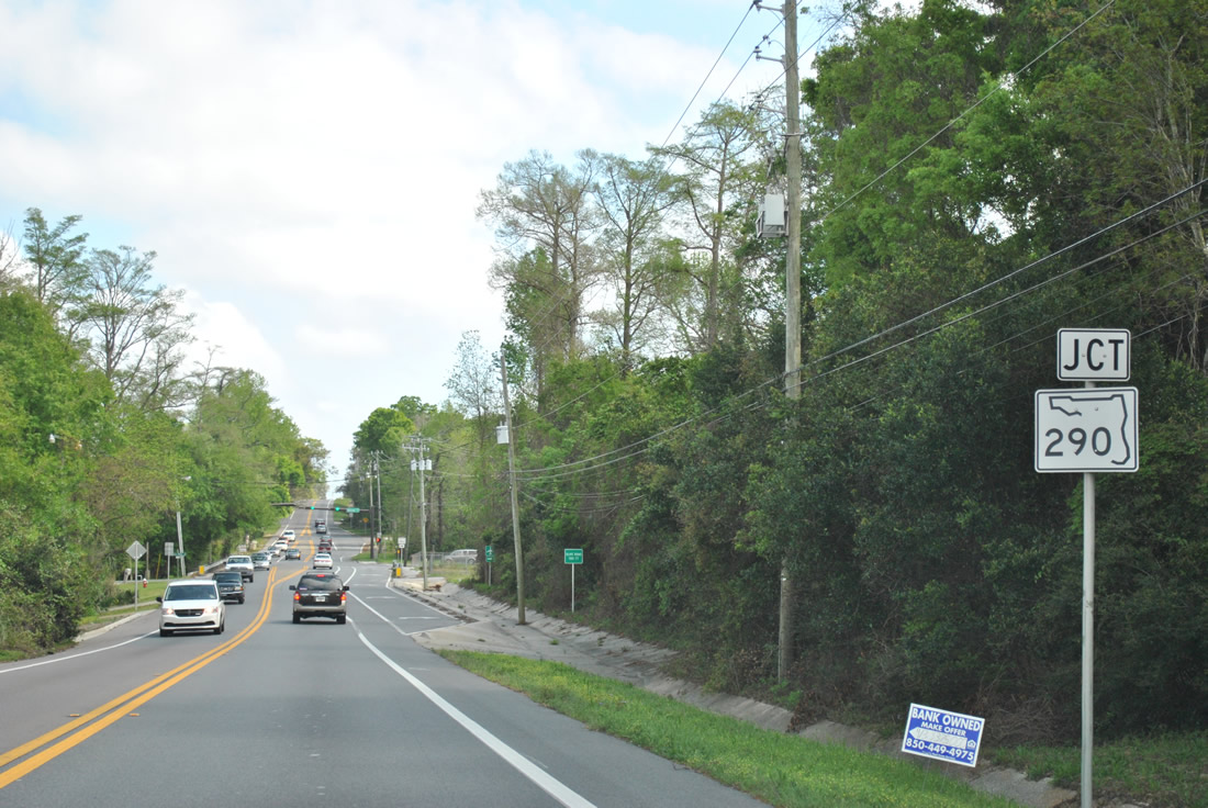
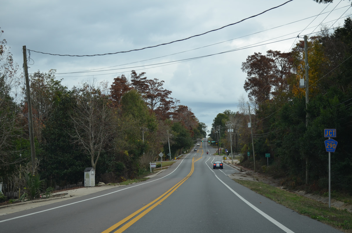
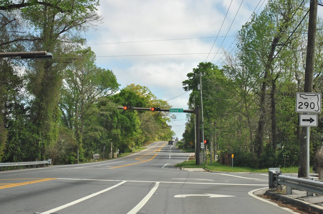
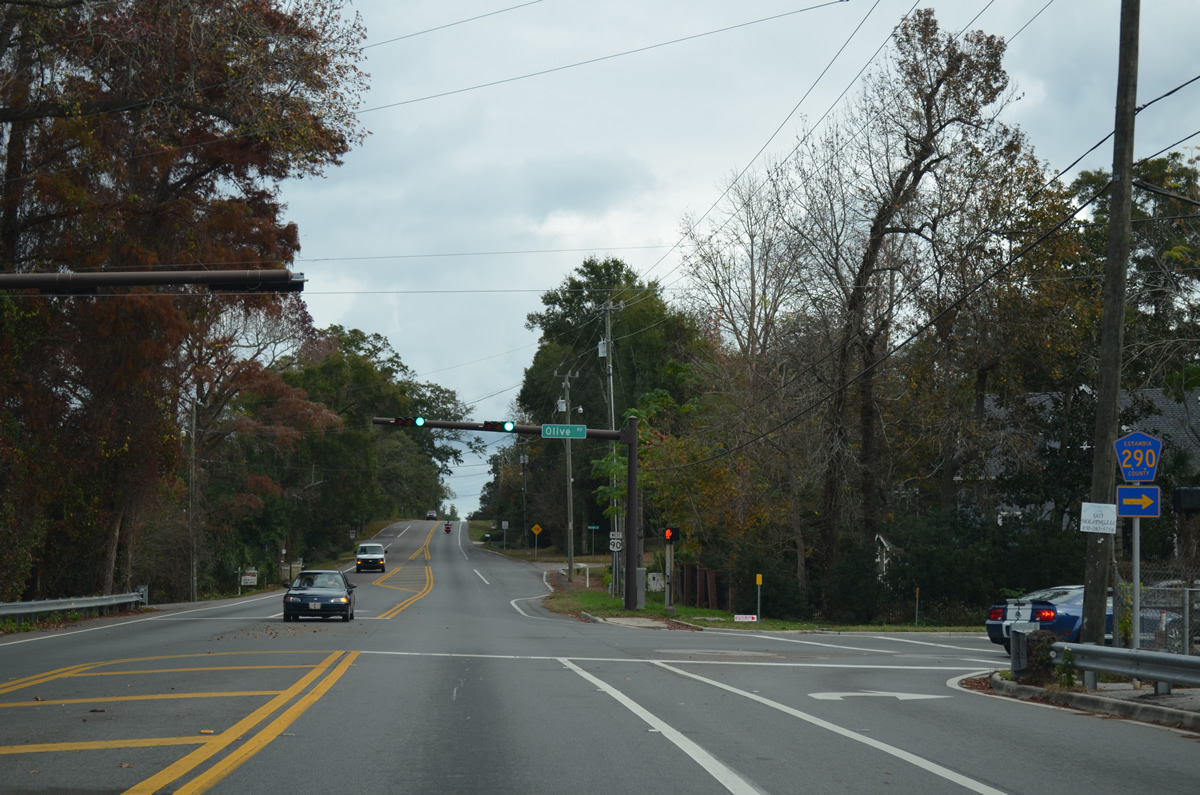
| Curving southeast along Macky Bay, U.S. 90 lowers to intersect the east end of Olive Road (CR 290). SR 290 was turned over to Escambia County on June 30, 2011. CR 290 is only acknowledged from U.S. 90, SR 289 and SR 291. 03/20/12, 12/09/12 |
|
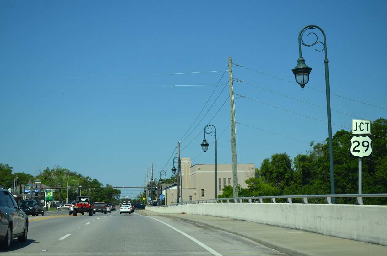
| Olive Road (old SR 290) rises from Scenic Highway to meet Johnson Avenue nearby. The former 5.48 mile long state road continues to Ferry Pass and County Road 95A (Palafox Street) south of Ensley. 03/20/12, 12/09/12 |
|
| U.S. 90 rises quickly from Olive Road (CR 290) and crests ahead of Lora Point on Escambia Bay. 05/25/12 |
|
| A traffic light was added at the entrance to the GE Generators plant near Lora Point on U.S. 90 (Scenic Highway) during Winter 2012. The entrance coincides with a spur from the nearby CSX Railroad. 05/25/12 |
|
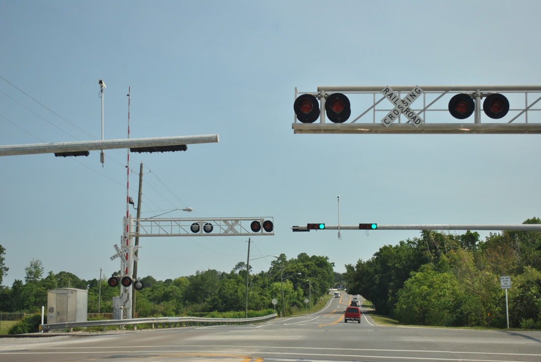
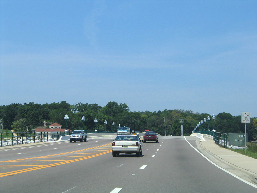
| A folded diamond interchange (Exit 16) connects U.S. 90 (Scenic Highway) with Interstate 10 south of Lora Point and Northpointe Parkway. 11/21/08 |
|
| Interstate 10 travels west from U.S. 90 to I-110 south into Penscaola, Mobile, Alabama and New Orleans, Louisiana. 08/03/11 |
|
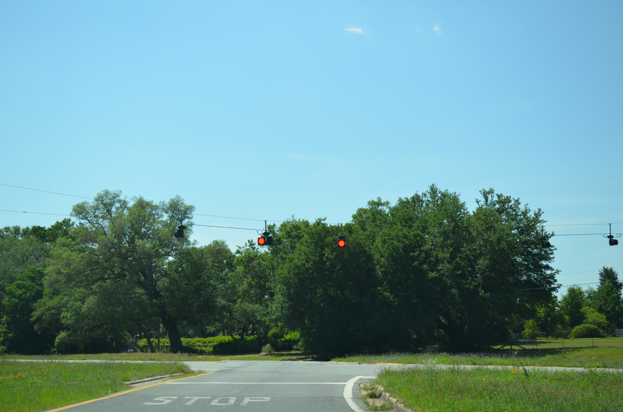
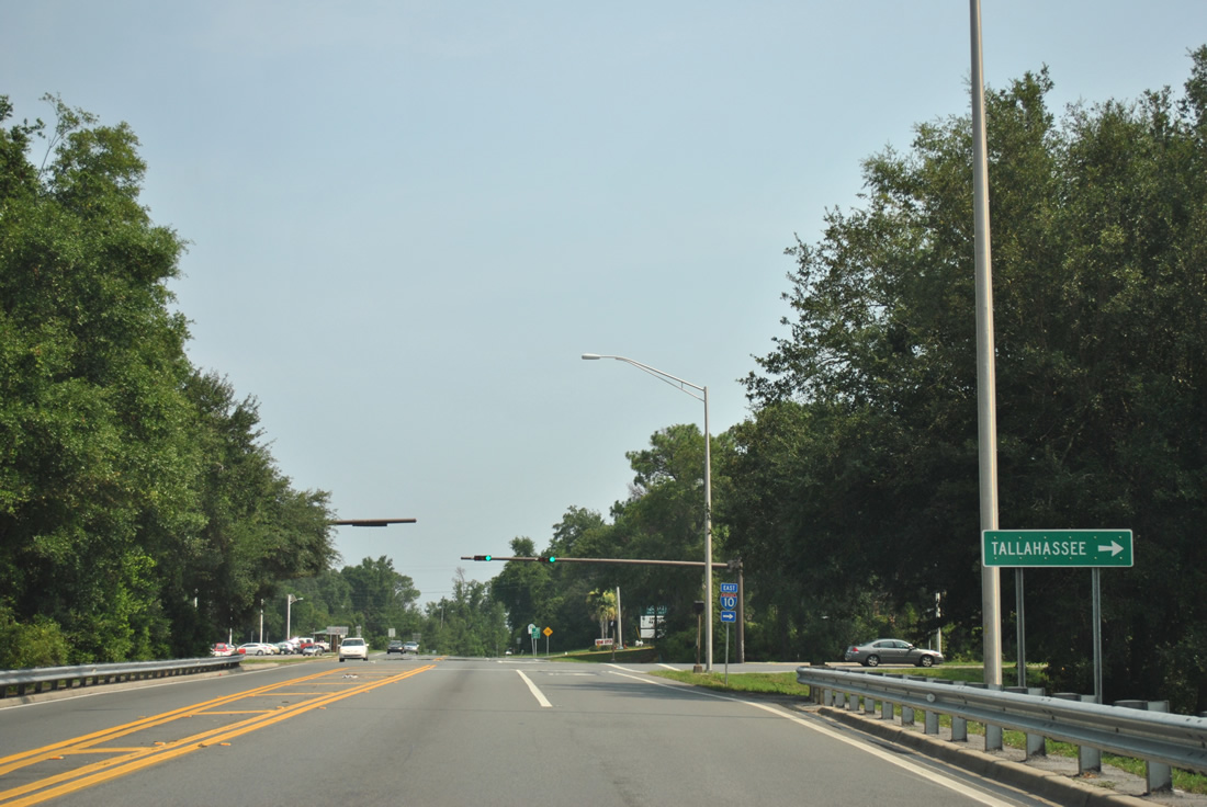
| A loop ramp drops from U.S. 90 onto Interstate 10 east at the Escambia Bay Bridge. The freeway continues toward Milton, Marianna and Tallahassee. Traffic light were installed at this ramp in March 2004. 08/03/11 |
|
| U.S. 90 (Scenic Highway) winds southward from Interstate 10 and Rock Point into the city limits of Pensacola. 05/16/14 |
|
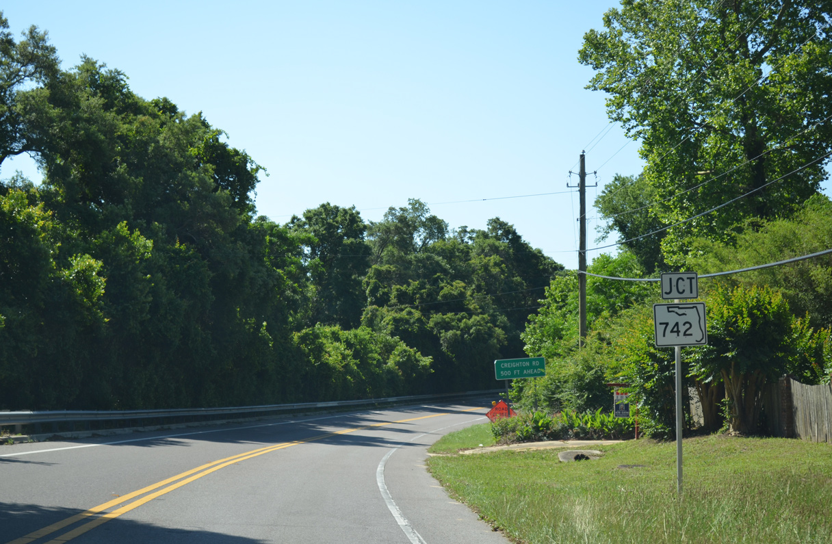
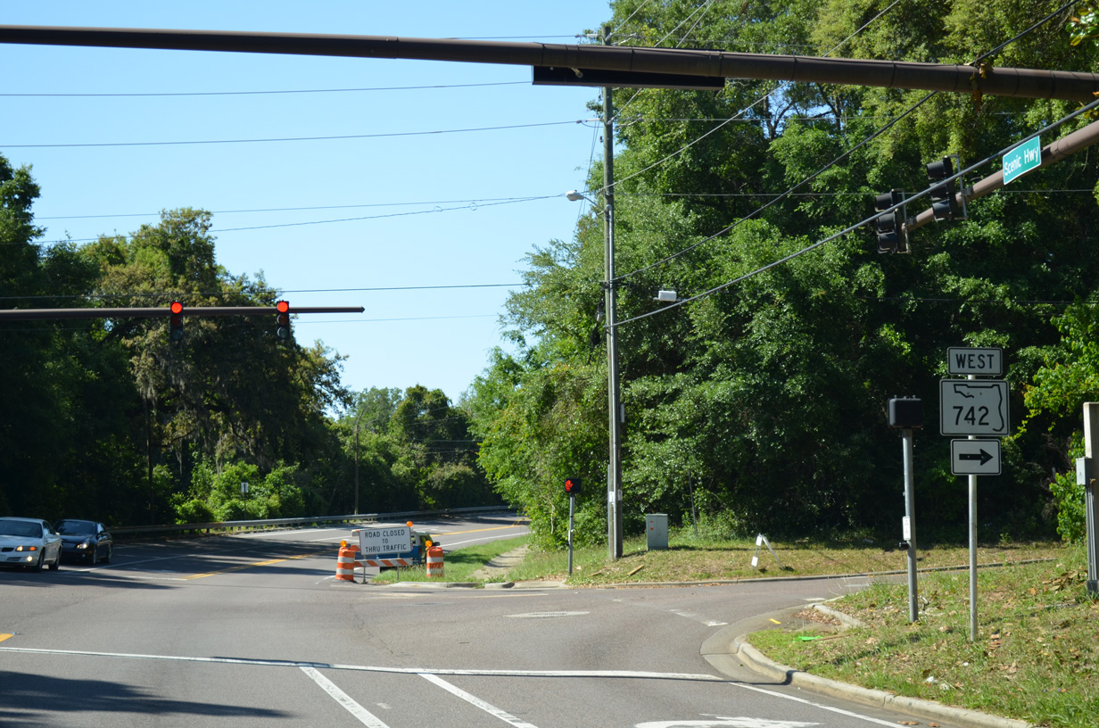
| Scenic Highway navigates through an S-curve 1.1 mile south from I-10 to the east end of SR 742 (Creighton Road). Creighton Road ascends into the Scenic Heights area between U.S. 90 (Scenic Highway) and SR 289 (Ninth Avenue). 05/16/14 |
|
| Creighton Road leads SR 742 west 2.3 miles to SR 289 (Ninth Avenue) at Eastgate Plaza shopping center. Beyond Ninth Avenue, SR 742 expands into a five lane arterial en route to SR 291 (Davis Highway) and University Town Plaza. 05/16/14 |
|
| Confirming marker posted south of SR 742 (Creighton Road). 05/16/14 |
|
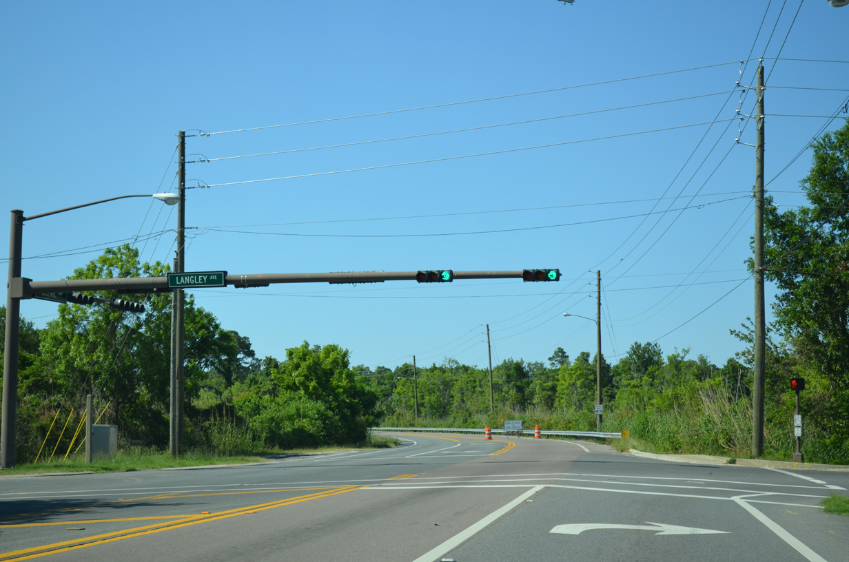
| Langley Avenue stems west from Scenic Highway at Chimney Park to 12th Avenue near Pensacola International Airport (PNS), and SR 289 (Ninth Avenue) at Tippin Avenue. 05/16/14 |
|
| U.S. 90 (Scenic Highway) runs alongside Bay Bluffs Park by the intersection with Summit Boulevard west. 05/16/14 |
|
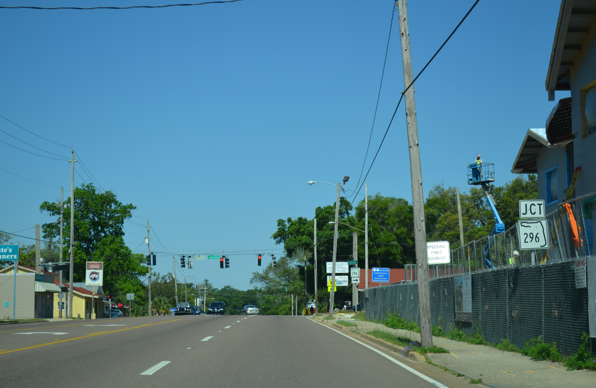
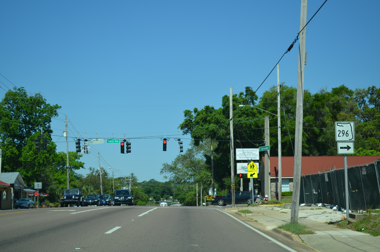
| U.S. 90 (Scenic Highway) turns west onto Cervantes Street near Emanuel Point just ahead of SR 296 (Perry Avenue) in southeast Pensacola. 05/16/14 |
|
| SR 296 heads seven blocks north on Perry Avenue to Bayou Boulevard along a 4.2 mile arc to SR 289 (Ninth Avenue) at Cordova Mall. The state road continues west from there to U.S. 90 again at Bellview. 05/16/14 |
|
| Cervantes Street spans Bayou Texar two blocks west of SR 296. Bayou Texar flows south from Carpenter Creek into Pensacola Bay by the Pensacola Bay Bridge. The bridge here was built in 2000. 05/08/04 |
|
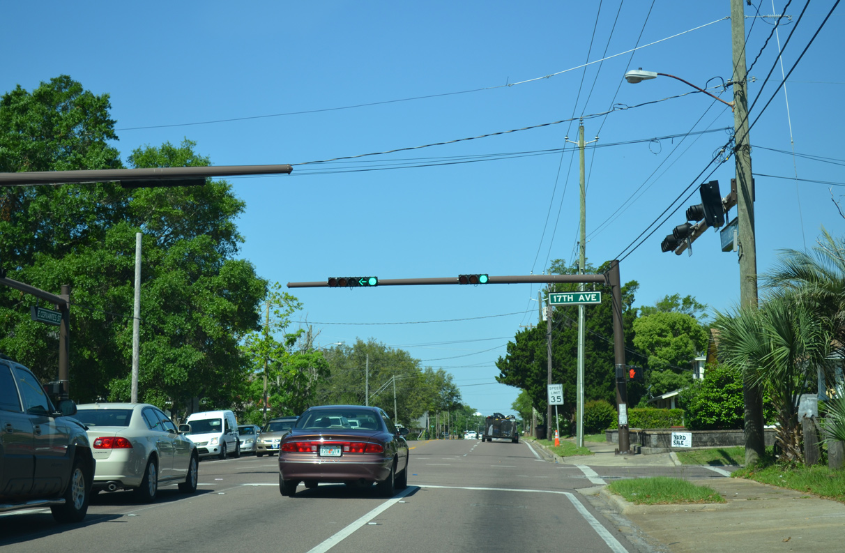
| U.S. 90 westbound at 17th Avenue. 17th Avenue provides a cutoff to U.S. 98 (Gregory Street) at the Pensacola Bay Bridge. 05/16/14 |
|
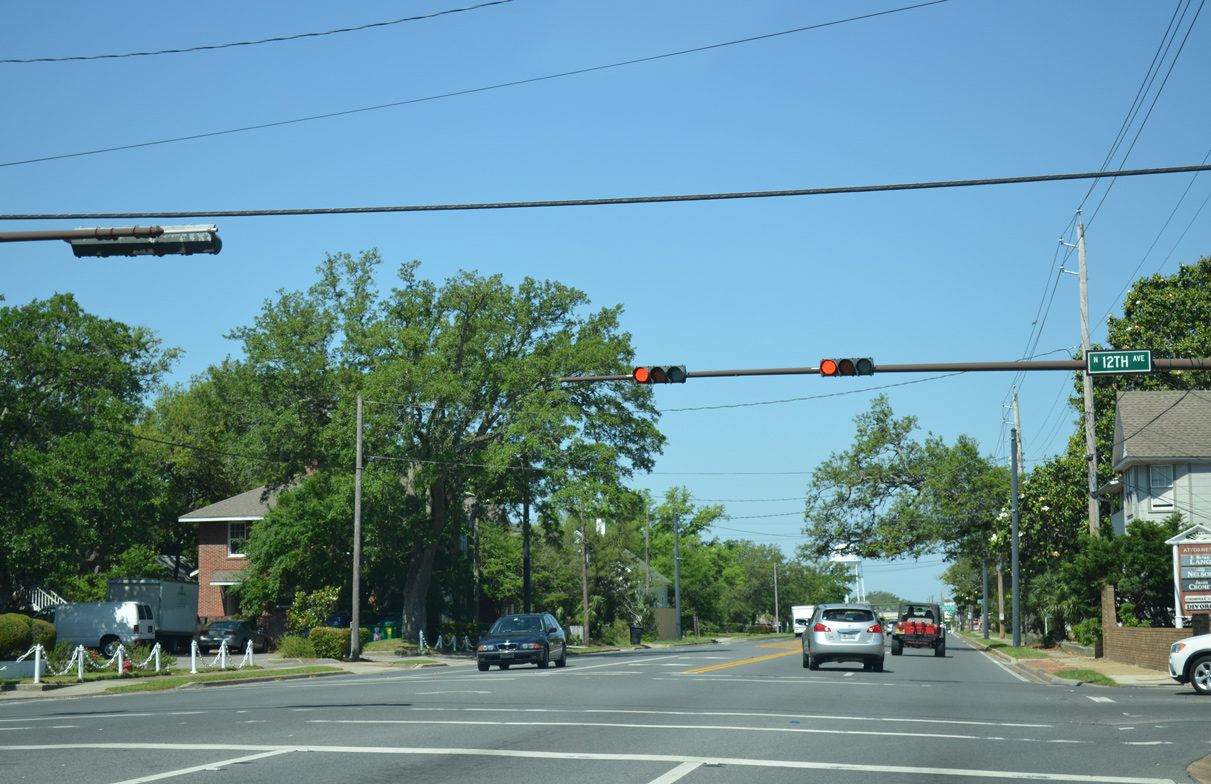
| Cervantes Street westbound at 12th Avenue. 12th Avenue provides a through route northward to Pensacola International Airport (PNS). 05/16/14 |
|
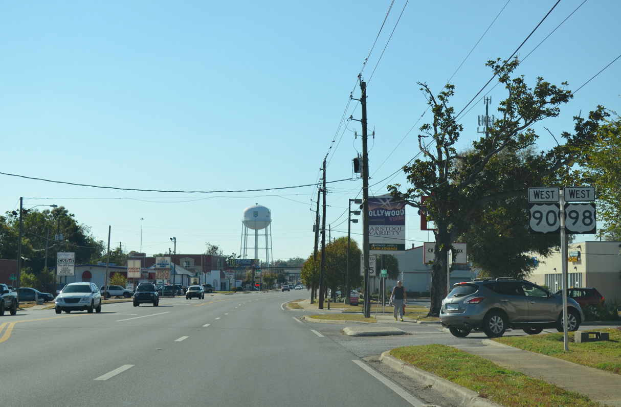
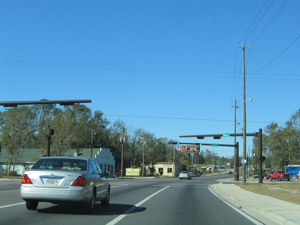
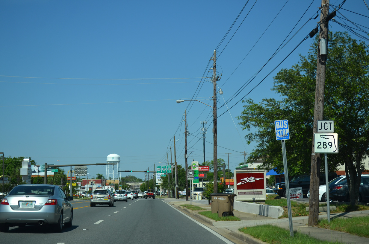
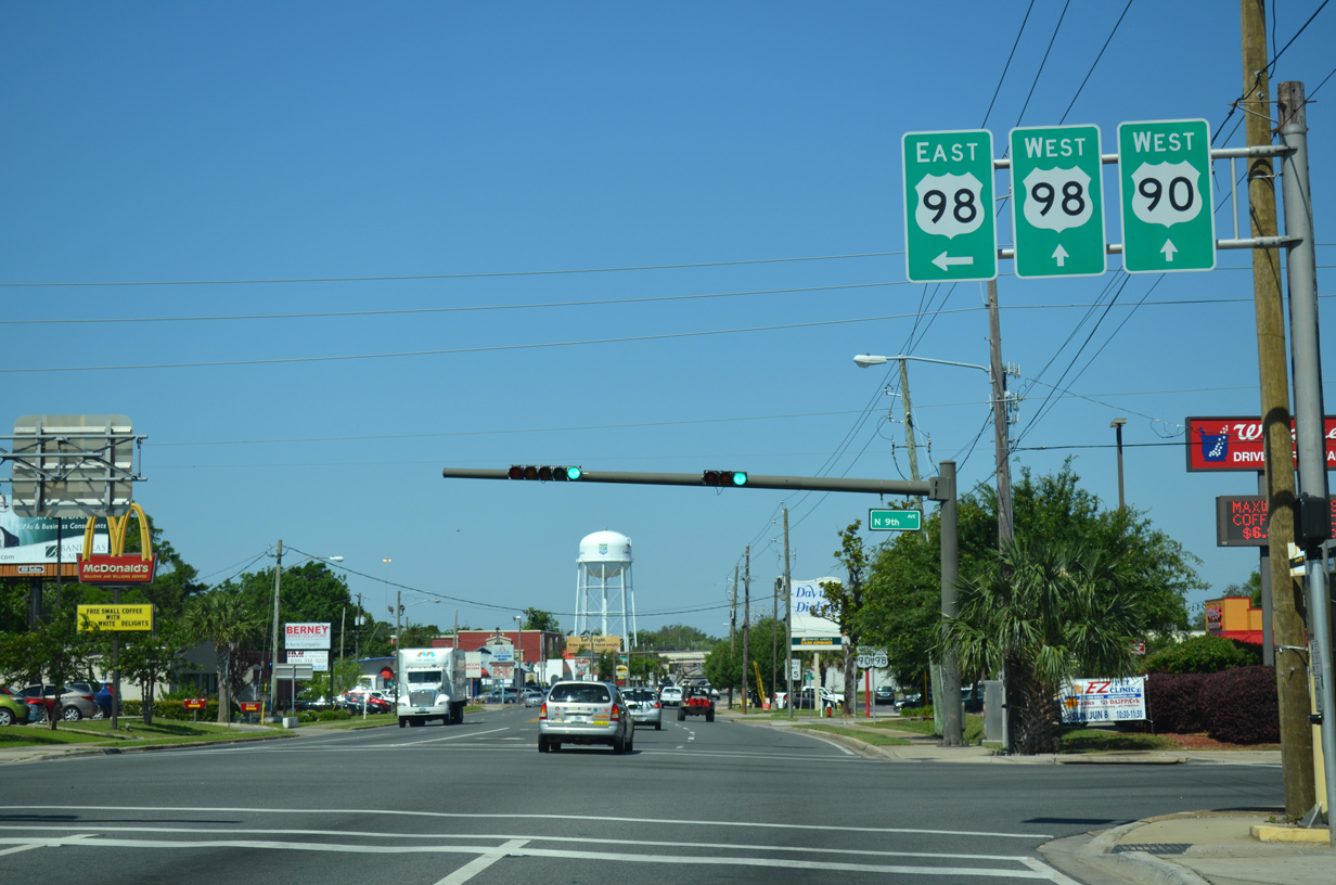
| Cerventes Street combines with U.S. 98 west at Ninth Avenue (SR 289). A 7.28 mile long route, SR 289 extends north to Cordova Mall near Pensacola International Airport (PNS) and Olive Road (CR 290) at Ferry Pass. 05/16/14 |
|
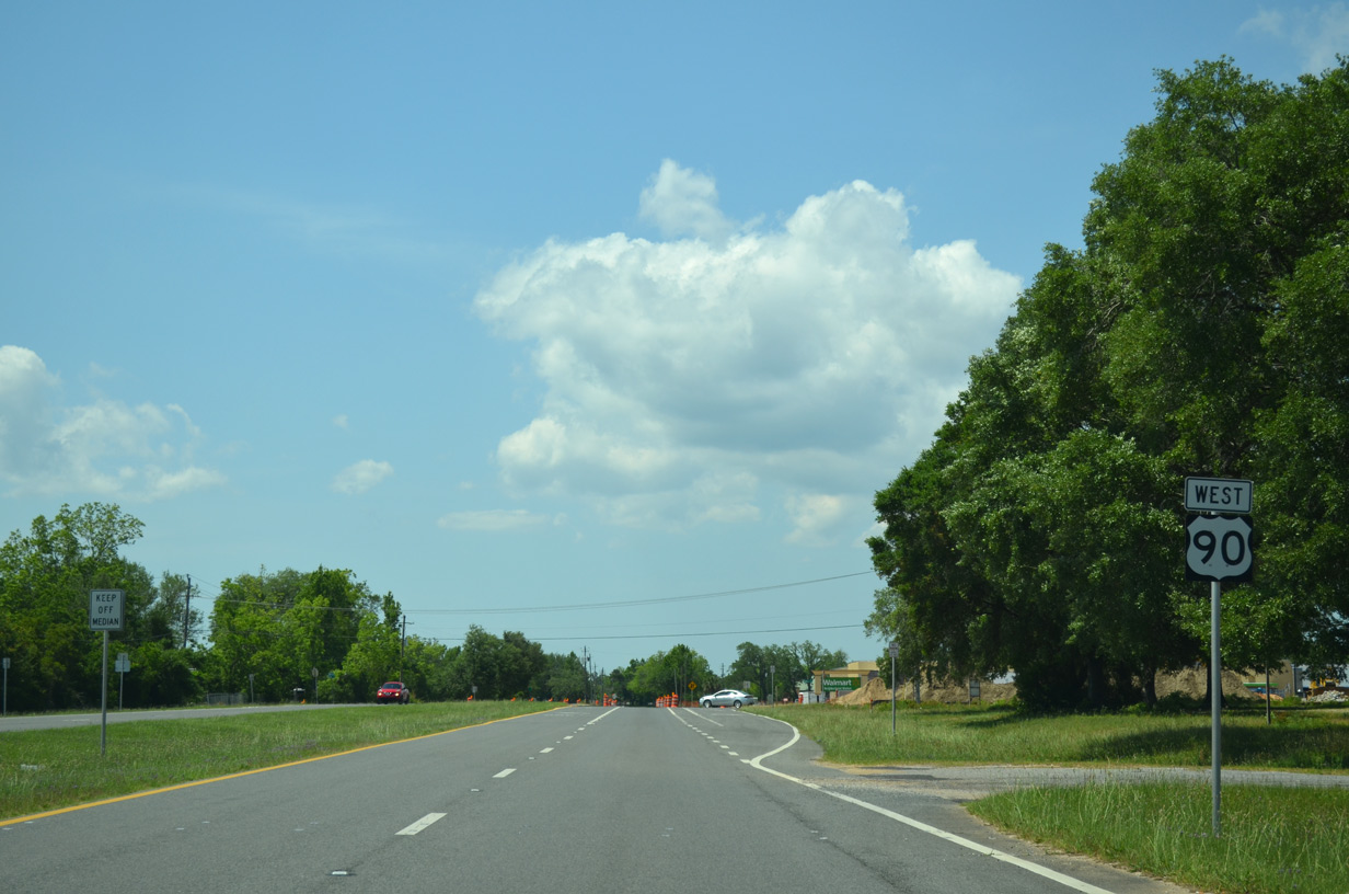
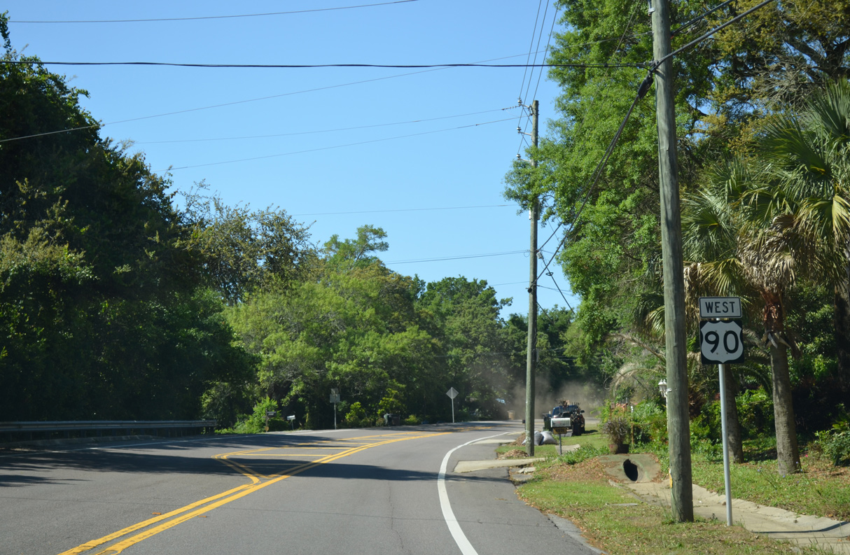
| U.S. 98 leads seven blocks south along Ninth Avenue (SR 289) to the one way couplet of Gregory and Chase Streets. Chase Street carries the route east to the Pensacola Bay Bridge, which joins Pensacola with Gulf Breeze. Gregory Street leads U.S. 98 Business west toward Downtown. 05/16/14 |
|
| The first set of confirming markers for the 2.062 mile overlap along U.S. 90/98 west appears at Cerventes Street and 8th Avenue. 11/17/12 |
|
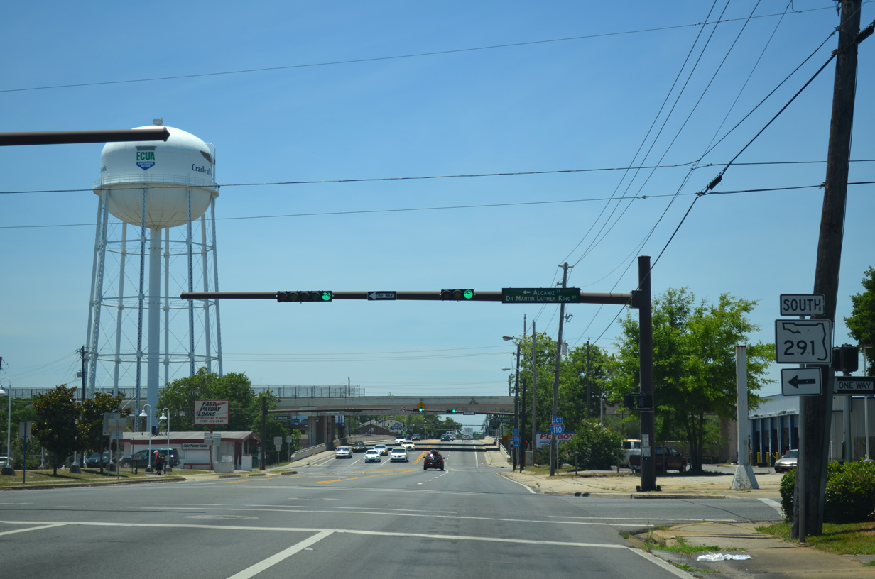
| SR 291 begins six blocks to the south at the intersection of Alcaniz Street and U.S. 98 Business (Gregory Street). A one way street couplet carries the state road north to Cervantes Street and Davis Highway. 11/17/12 |
|
| SR 291 southbound follows Dr. Martin Luther King Drive to Cervantes Street, and Alcaniz Street from U.S. 90/98 to U.S. 98 Business. SR 291 travels 11.22 miles overall from outside Downtown Pensacola to U.S. 90 Alternate (Nine Mile Road) near the University of West Florida. 05/27/13 |
|
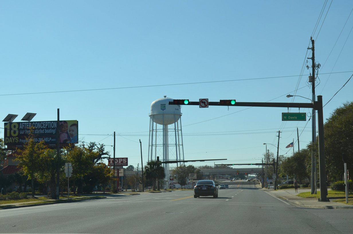
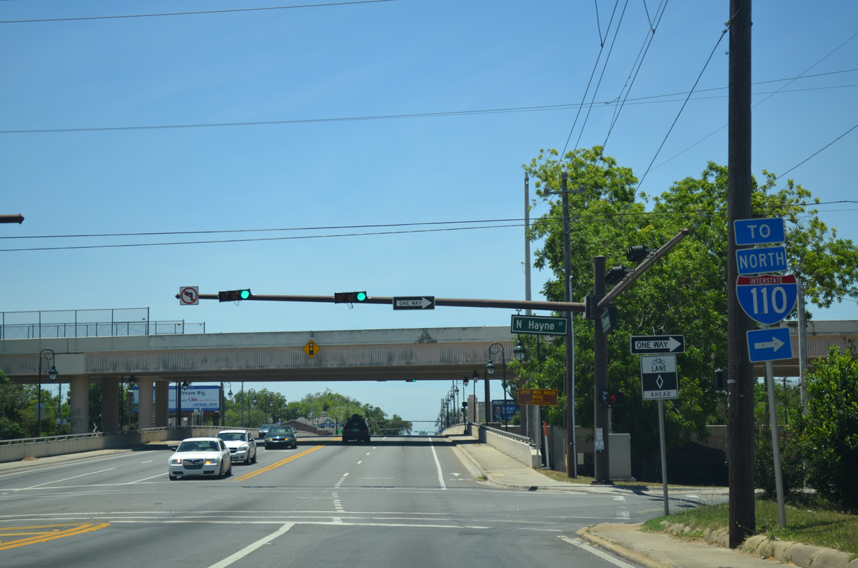
| U.S. 90/98 west intersect Hayne Street north ahead of the I-110 viaduct. Signs for I-110 along Cervantes Street were replaced between November 2012 and May 2013. 05/27/13 |
|
| A multi-level interchange joins U.S. 98 Business and Downtown Pensacola with Interstate 110 north to Pensacola International Airport (PNS) and I-10 near Ferry Pass. 05/27/13 |
|
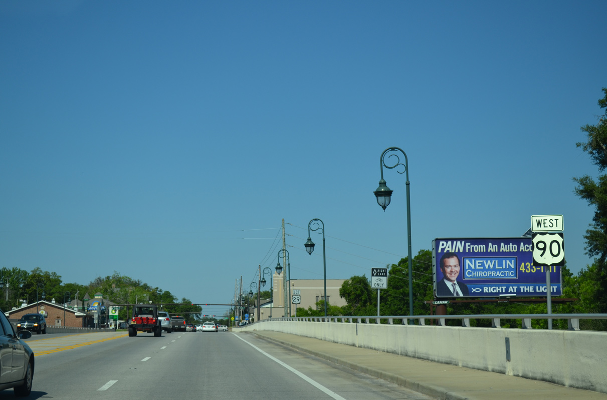
| U.S. 90/98 span a CSX Railroad line, Tarragona Street and Guillemard Street along a viaduct between Hayne Street and U.S. 29 (Palafox Street). An 18-month, $8.9 million construction project replaced the previous timber-supported bridge system here in October 2005. 05/16/14 |
|
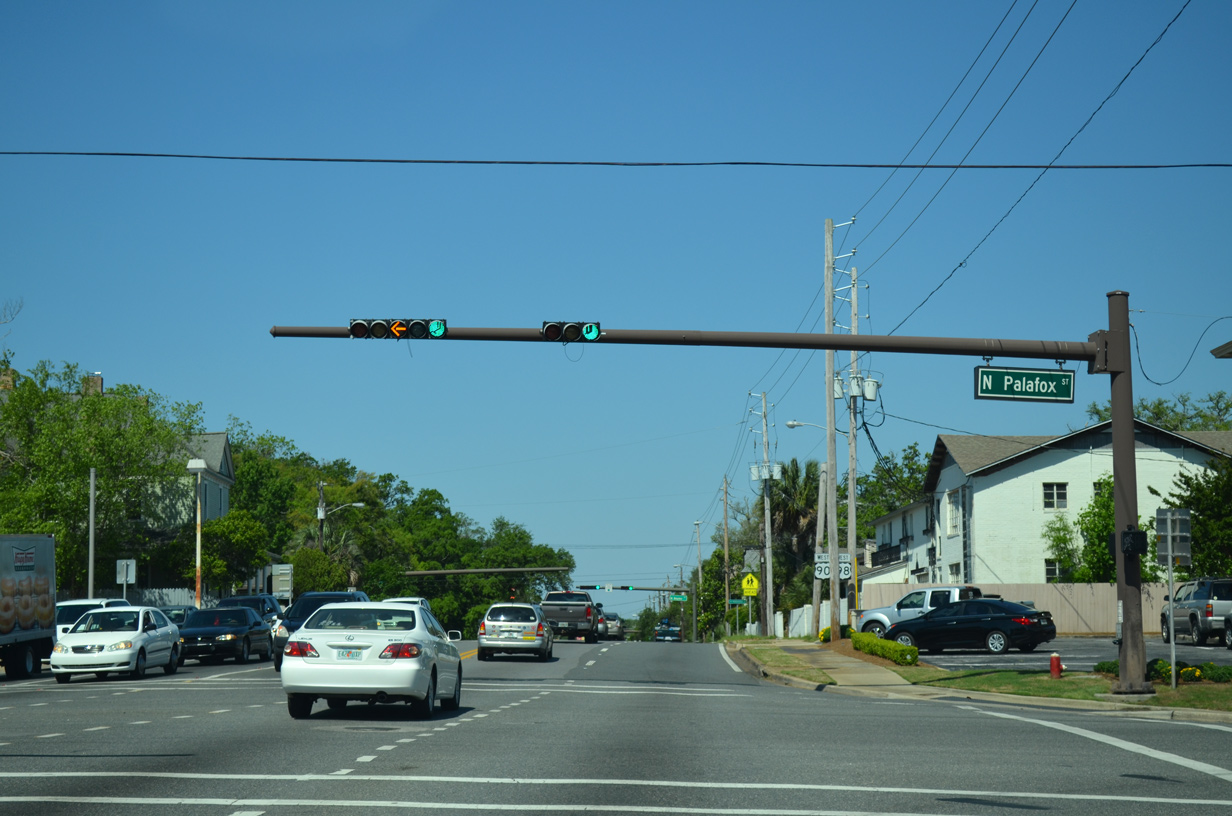
| Cerventes Street intersects the south end of U.S. 29 at the ensuing traffic light with Palafox Street. U.S. 29 originates at Mt. Hebron, Maryland and travels through seven states and the District of Columbia. 05/16/14 |
|
| U.S. 29 (Palafox Street) heads north from U.S. 90/98 (Cervantes Street) to Brent, Ensley, Gonzalez, Cantonment and Century in Escambia County. The US highway, in conjunction with Alabama Route 113 at Flomaton, represents the most direct route from Pensacola to the I-65 corridor. 05/16/14 |
|
| Continuing west from U.S. 29 along U.S. 90/98 (Cervantes Street) through the North Hill neighborhood. Approved by the Architectural Review Board on July 27, 2017, a gated, 25-unit town home development on the block between Palafox and Baylen Streets replaced the vacant Town House Hotel. Estimated to cost $12 million, work on Covington Place commenced in late 2017.2,3 11/17/12 |
|
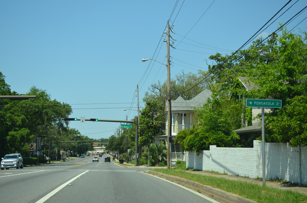
| A distance sign references the uninicorporated community of West Pensacola, located two miles west of U.S. 29 (Palafox Street). 05/16/14 |
|
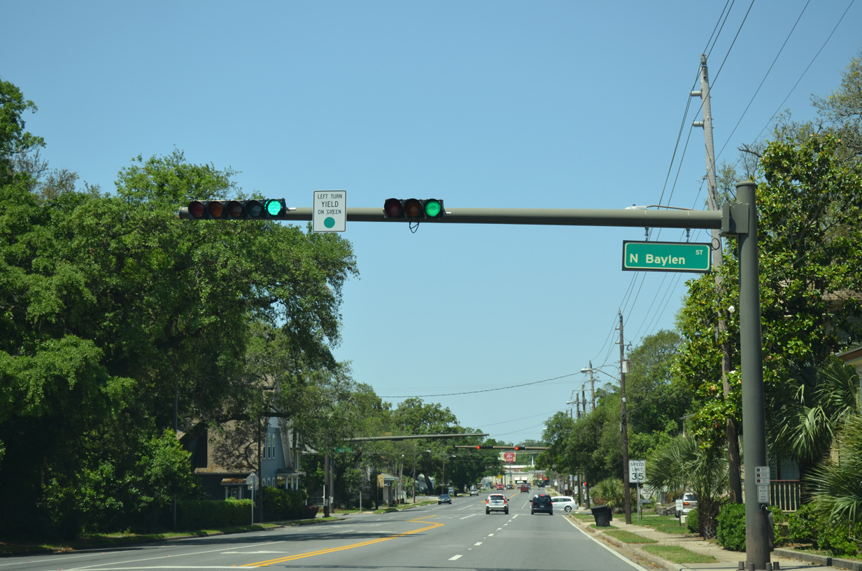
| Cervantes Street westbound at Baylen Street northbound. 05/16/14 |
|
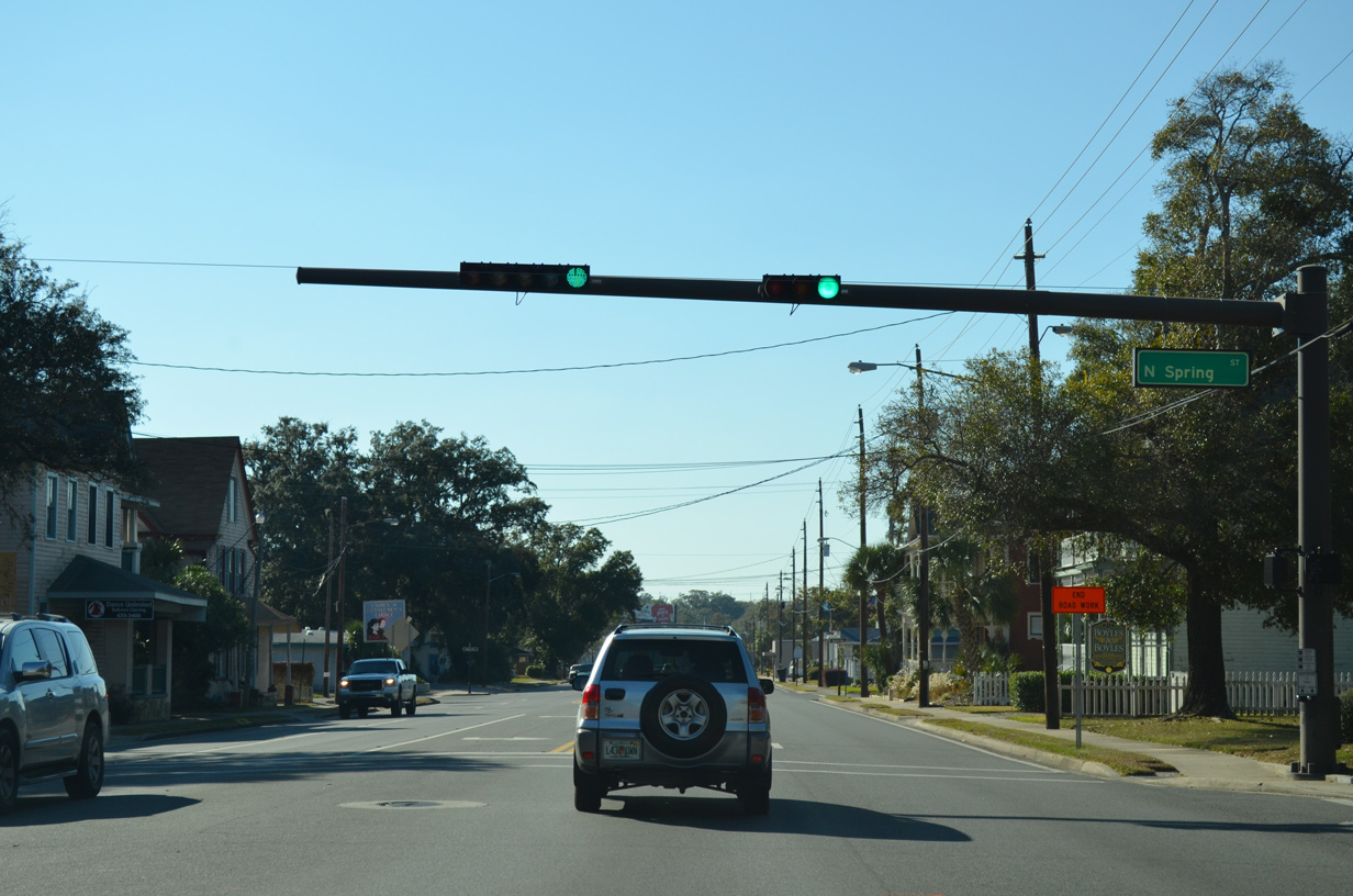
| The succeeding traffic light along U.S. 90/98 westbound is with Spring Street. A November 2012 project restriped the street from southbound only to two-way traffic. 11/17/12 |
|
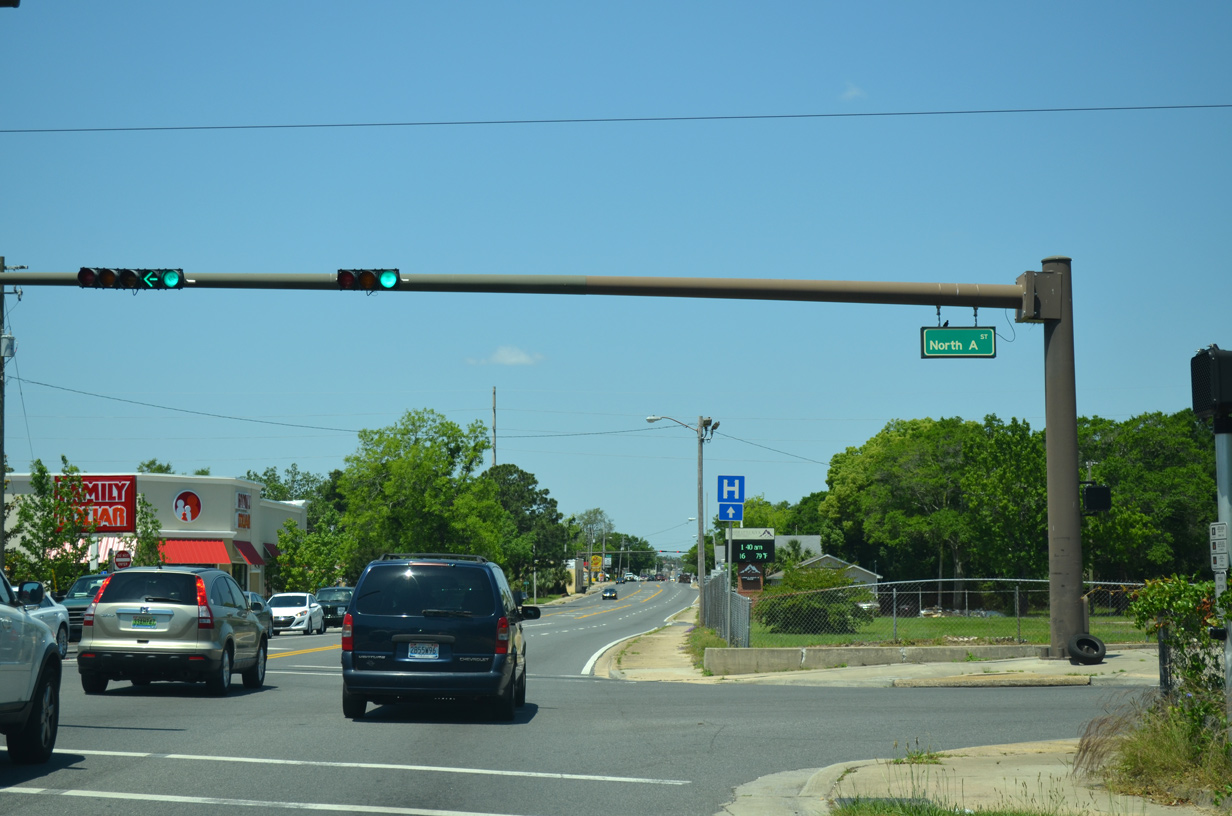
| Six and a half blocks west of U.S. 29, U.S. 90/98 (Cervantes Street) intersect A Street. A Street provides a secondary through route between Main and Maxwell Streets. 05/16/14 |
|
| Cervantes Street shifts from a commercialized boulevard into a mixture of homes, churches, and small business beyond A Street. 05/16/14 |
|
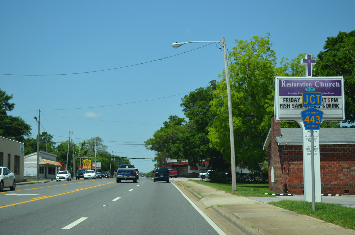
| Signs posted along U.S. 90/98 (Cerventes Street) for E Street reference County Road 443. No longer posted, CR 443 previously followed E Street north to SR 752. 05/16/14 |
|
| E Street heads south to Sanders Beach and north to end at SR 752 (Texar Drive) near U.S. 29 (Palafox Street). 05/16/14 |
|
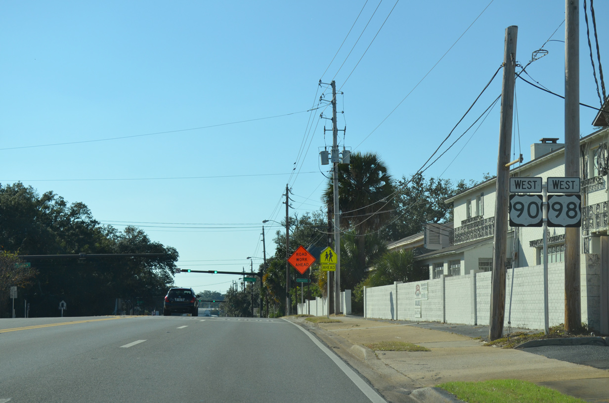
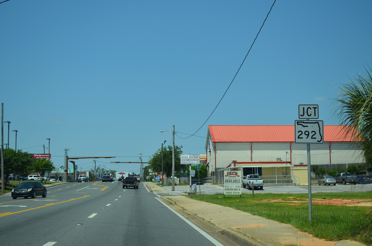
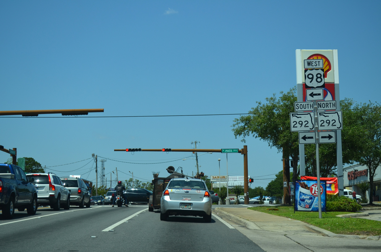
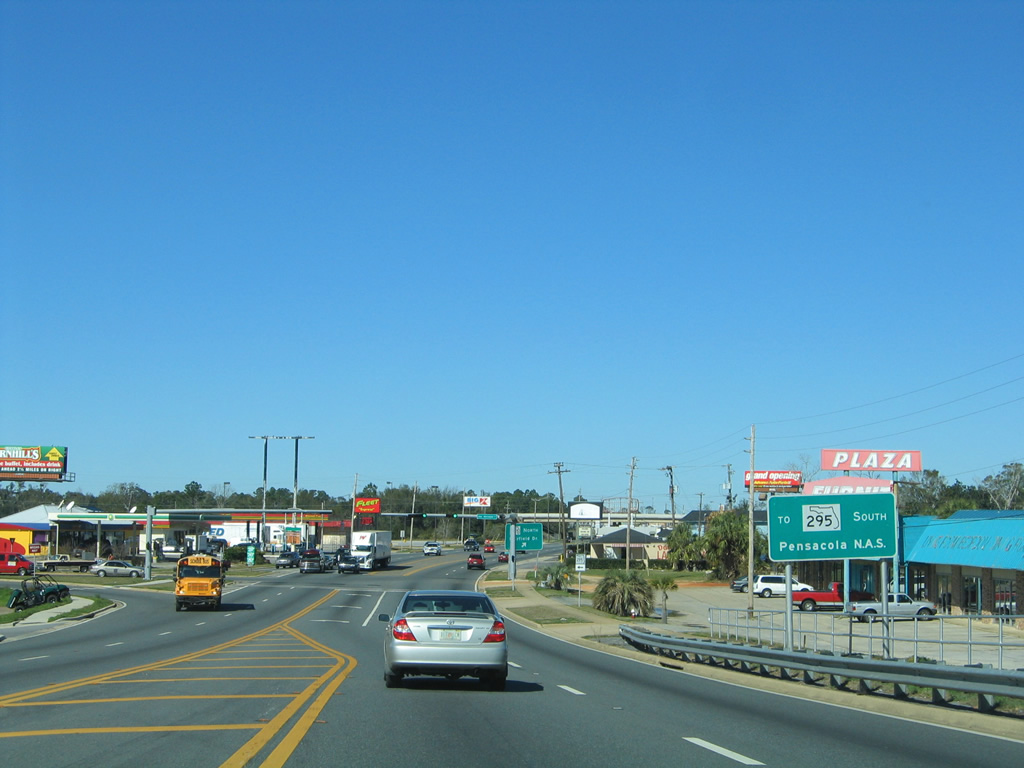
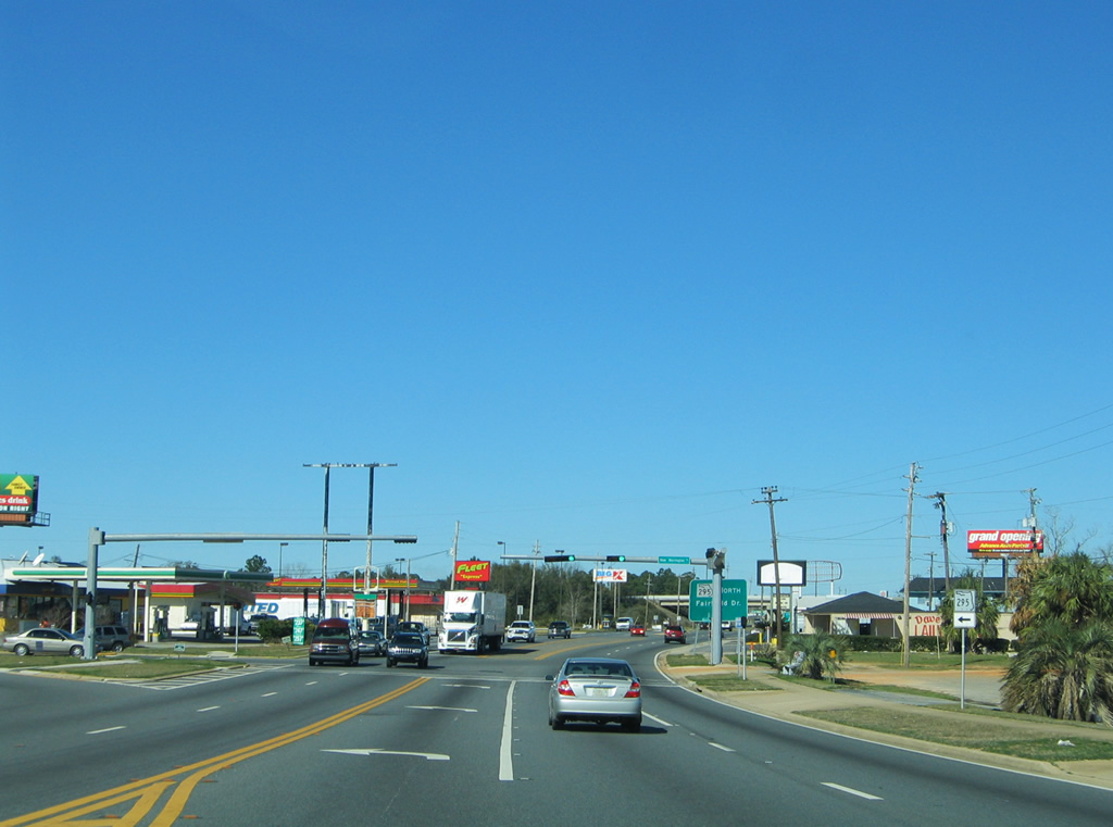
| U.S. 90/98 advance ten blocks west from E Street to split at SR 292 (Pace Boulevard). 05/16/14 |
|
| U.S. 98 west joins SR 292 south along Pace Boulevard, 0.6 miles to U.S. 98 Business (Garden Street). SR 292 continues north along Pace Boulevard to U.S. 29. 05/16/14 |
|
| U.S. 90 continues west from U.S. 98 and SR 292 (Pace Boulevard) another seven blocks along Cervantes Street to the Pensacola city line at Brownsville. 05/16/16 |
|
| Approaching T Street (former CR 493) on U.S. 90 (Cervantes Street) west. County Road 493 previously ran along T Street between Jackson Street (unsigned CR 298A) and SR 295 (Fairfield Drive). 01/31/06 |
|
| T Street extends five blocks south of Cervantes Street in Brownsville to Wright Street. CR 453 markers remained along U.S. 90 in 2011. The county road was never signed elsewhere as of 2004. 05/08/04 |
|
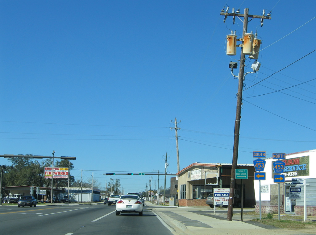
| U.S. 90 follows Cervantes Street for three more blocks between T Street and W Street (CR 453). Several abandoned buildings along this stretch were razed between 2004 and 2006. 01/31/06 |
|
| A multi-lane boulevard, W Street carries CR 453 south to U.S. 98 (Navy Boulevard) and north to U.S. 29 (Pensacola Boulevard). 400 and 700 series county roads were used in the Pensacola area to offset number replication in the state secondary system. 01/31/06 |
|
| U.S. 90 leaves both the city limits of Pensacola and Cervantes Street after W Street. Mobile Highway carries the remainder of the route in Florida. 01/31/06 |
|
| Green Street angles across U.S. 90 through the West Highlands and Oakdale residential areas adjacent to Mobile Highway. 01/31/06 |
|
| Mobile Highway rises to pass over a AGR line, Border Street north and Lillian Highway west of Green and Lynch Streets. 01/31/06 |
|
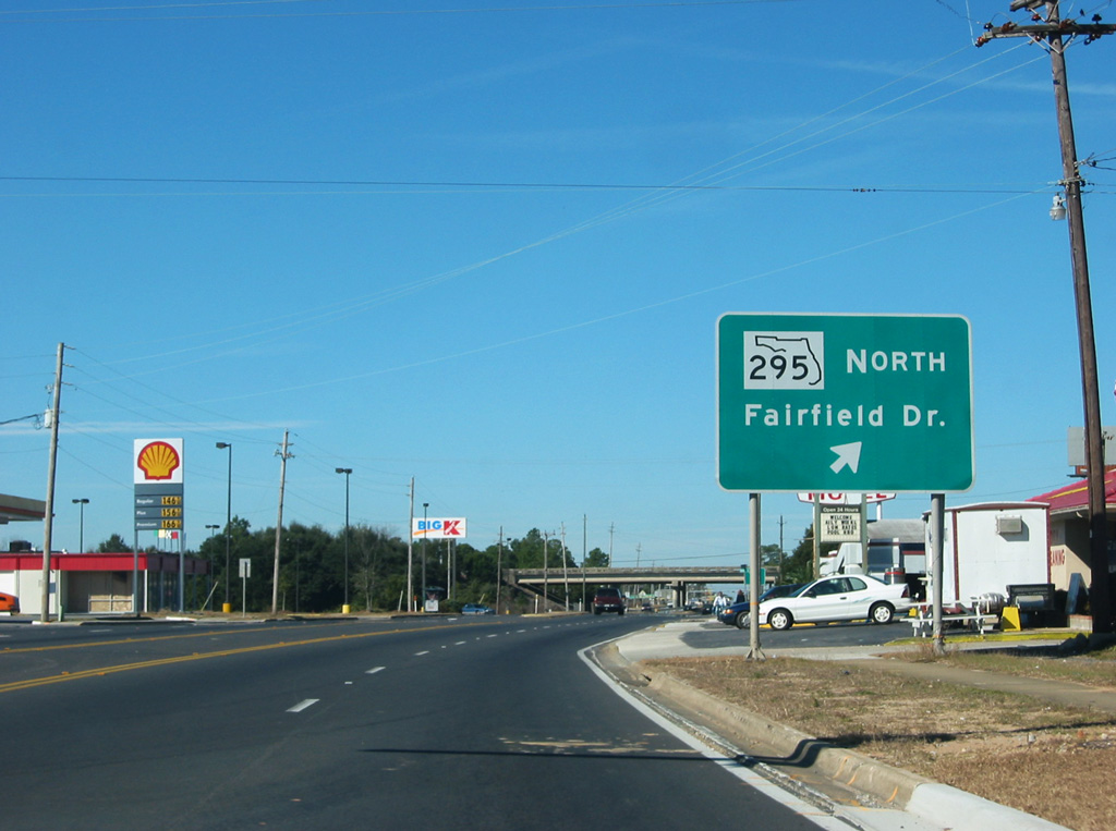
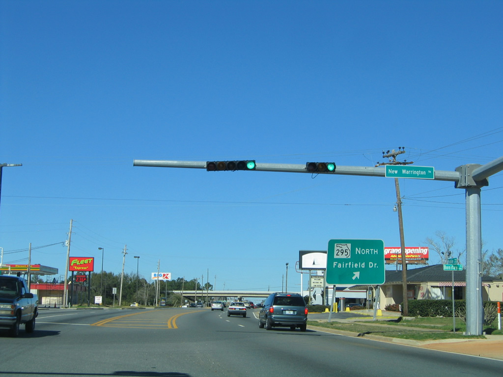
| U.S. 90 (Mobile Highway) westbound advances to the north end of New Warrington Road. Signed as a segment of SR 295, New Warrington Road connects U.S. 90 west with SR 295 south to Pensacola N.A.S. and SR 298 (Lillian Highway) west. 01/31/06 |
|
| The SR 295 main line travels an expressway (New Warrington Spur) above U.S. 90 nearby. The expressway opened to traffic in 1973 as a bypass of New Warrington Road to the west. 01/31/06 |
|
| A parclo B2 interchange provides partial connections between U.S. 90 (Mobile Highway) and SR 295 (New Warrington Spur). The entrance ramp for SR 295 north to Fairfield Drive lies beyond New Warrington Road. 12/21/03, 01/31/06 |
|
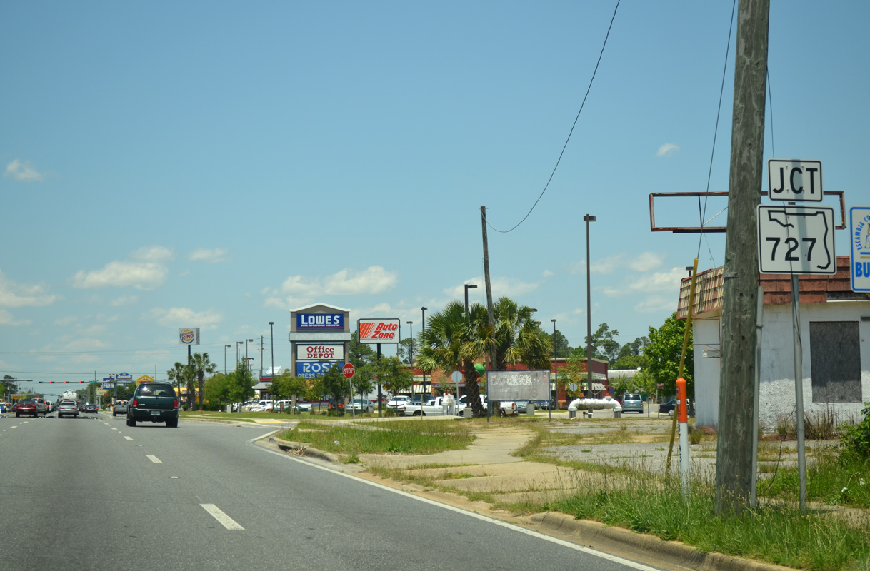
| U.S. 90 (Mobile Highway) west meets SR 727 (Fairfield Drive) beyond the exchange with SR 295. SR 727 continues Fairfield Drive west from SR 295 to Myrtle Grove. 05/16/14 |
|
| SR 727 arcs 6.52 miles west from a wye interchange with SR 295 (New Warrington Spur) to SR 292 (Gulf Beach Highway), west of Warrington. Fairfield Drive extends east from SR 727 along SR 295 to Pensacola. 06/01/13 |
|
| Retail lines both sides of U.S. 90 (Mobile Highway) from SR 295 northward to Tonawanda Drive beyond SR 727. The arterial carries six lanes on this stretch. 06/01/13 |
|
| U.S. 90 turns northwesterly from West Pensacola to Bellview, meeting SR 296 (Michigan Avenue) west and CR 296 (Saufley Field Road) east ahead of this confirming marker. 11/17/12 |
|
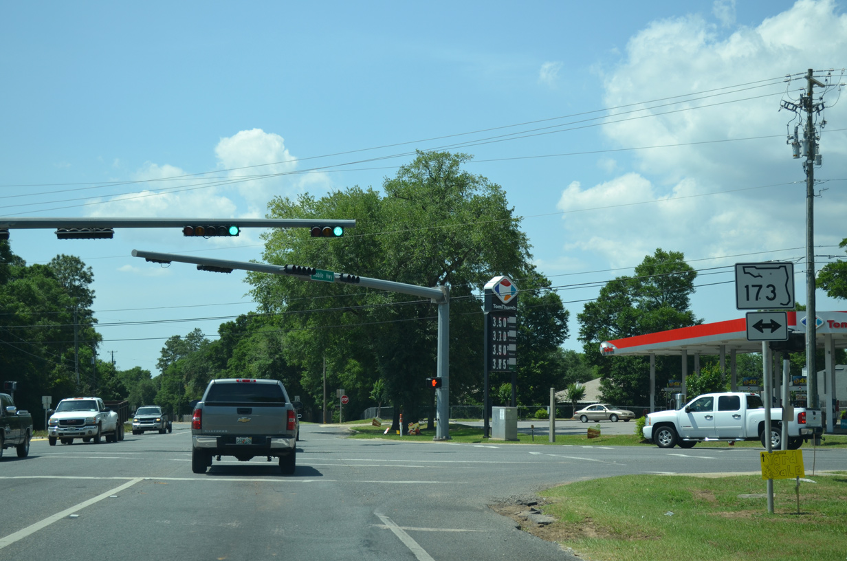
| Bellview Avenue provides a through route from U.S. 90 to SR 173 (Blue Angel Parkway) and Memphis Avenue. 11/17/12 |
|
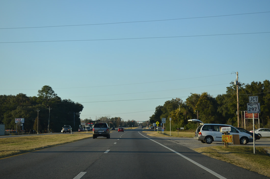
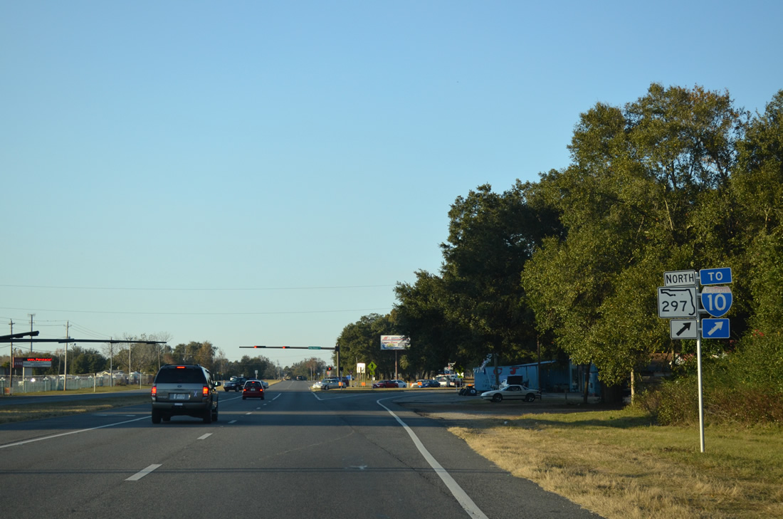
| SR 297 (Pine Forest Road) branches north from U.S. 90 (Mobile Highway) a third of a mile beyond Bellview Road. SR 297 links Mobile Highway with U.S. 90 Alternate (Nine Mile Road) along a 4.29 mile course. 11/17/12 |
|
| Pine Forest Road heads due north from U.S. 90 (Mobile Highway) to Five Flags Speedway, Interstate 10 (Exit 7) and Pine Forest. Th entrance to Pensacola Interstate Fairgrounds lies across from the south end of SR 297. 11/17/12 |
|
| Mobile Highway reduces from a four lane divided highway into a two lane roadway after SR 297. 05/17/14 |
|
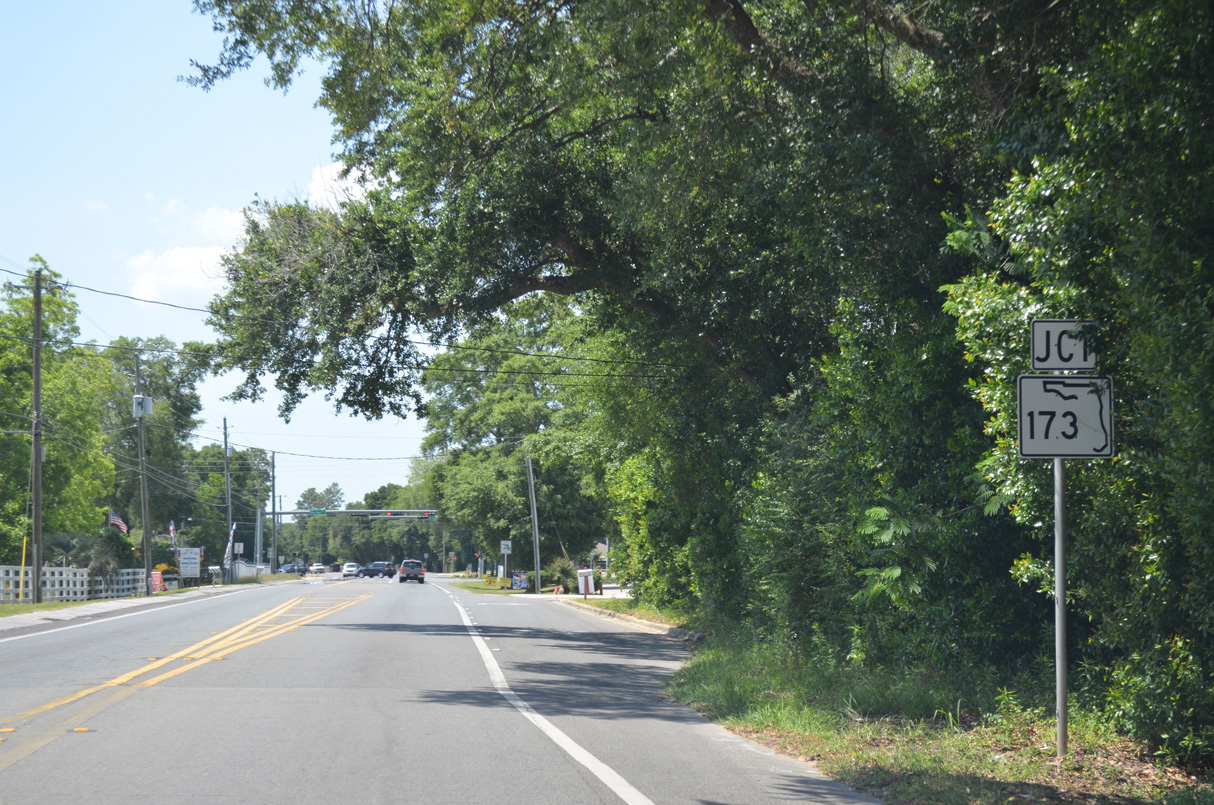
| Doubling as part of a route between I-10, Perdido Key and Orange Beach, Alabama, SR 173 heads north from the Saufley Field area to meet U.S. 90 (Mobile Highway) just west of SR 297 (Pine Forest Road). 05/17/14 |
|
| Traveling 11.93 miles, SR 173 leads south from SR 297 (Pine Forest Road) to Myrtle Grove, Pleasant Grove and the west gate of Pensacola Naval Air Station. 05/17/14 |
|
| Continuing west on U.S. 90 (Mobile Highway) between SR 173 (Blue Angel Parkway) and Millview Road (former SR 173). 02/10/06 |
|
| Entering the Beulah area, U.S. 90 (Mobile Highway) converges with County Road 99 (Beulah Road). $1.5 million in construction started in April 2018, expanded the forthcoming intersection with turn lanes and installed traffic lights.3 The new signal became operational on February 12, 2019.4 05/17/14 |
|
| CR 99 follows Beulah Road south to the split with Hurst Hammock Road and north to Muscogee and County Road 184. The state took over maintenance of CR 99 northward toward I-10 under an agreement reached September 5, 2019.5 05/17/14 |
|
| Reassurance marker posted on U.S. 90 west between County Road 99 and Rebel Road at Beulah. 05/17/14 |
|
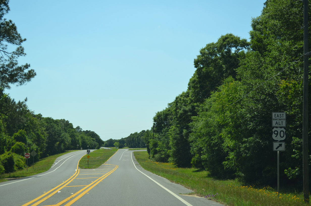
| U.S. 90 Alternate returns to U.S. 90 with SR 10 via Nine Mile Road at Beulah. 05/17/14 |
|
| U.S. 90 merges with U.S. 90 Alternate, 4.25 miles west of the Nine Mile Road interchange with Interstate 10 (Exit 5). U.S. 90 Alternate provides the final connection to the Pensacola area from U.S. 90. 05/17/14 |
|
| A set of flashers operate at the wye intersection joining U.S. 90 Alternate (Nine Mile Road) with U.S. 90. 02/01/06, 05/17/14 |
|
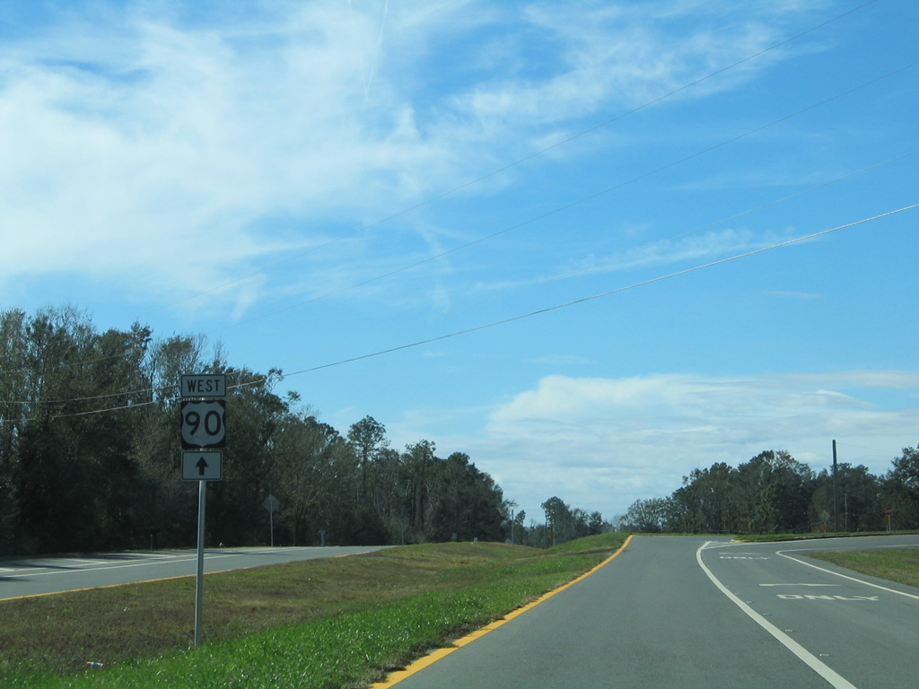
| Continuing west from U.S. 90A, U.S. 90 (Mobile Highway) leaves the last of the Pensacola area subdivisions and narrows back into a two lane roadway. 05/17/14 |
|
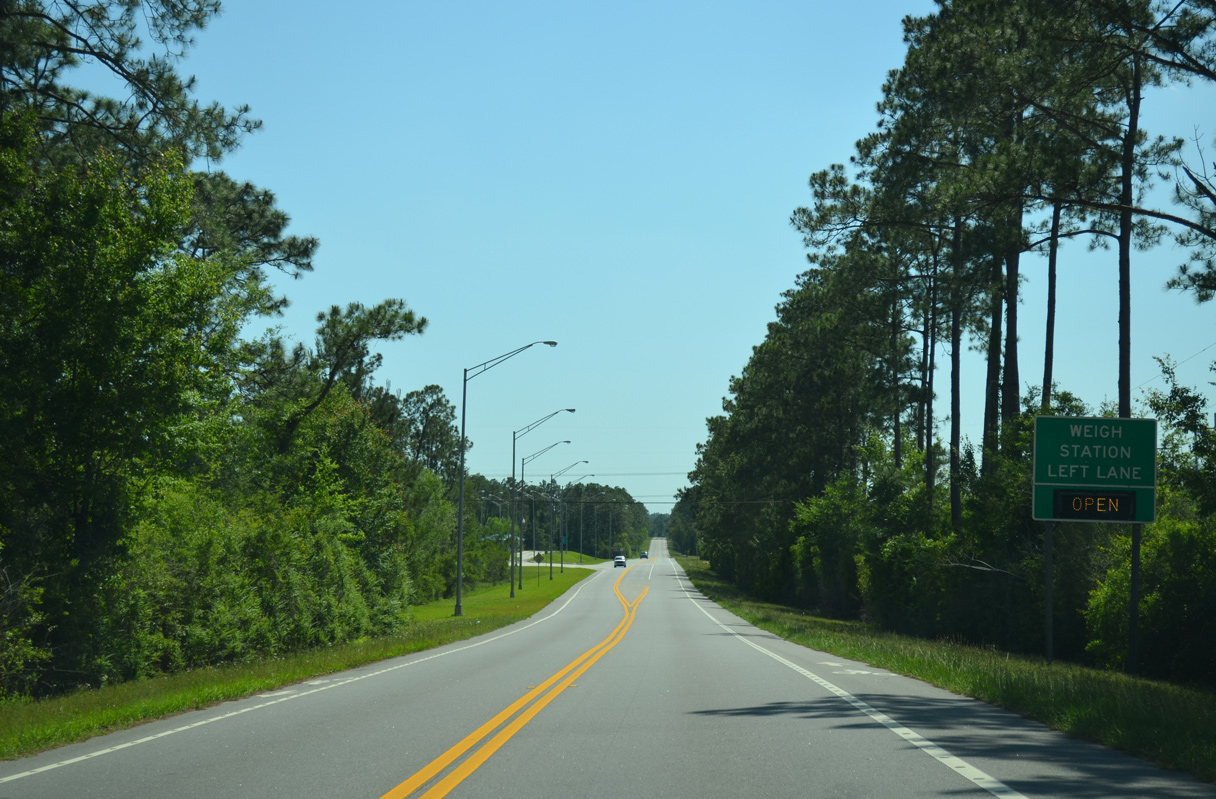
| A weigh station lies along U.S. 90 midway between Nine Mile Road and Ruby's Fish Camp Road by the Alabama state line. 05/17/14 |
|
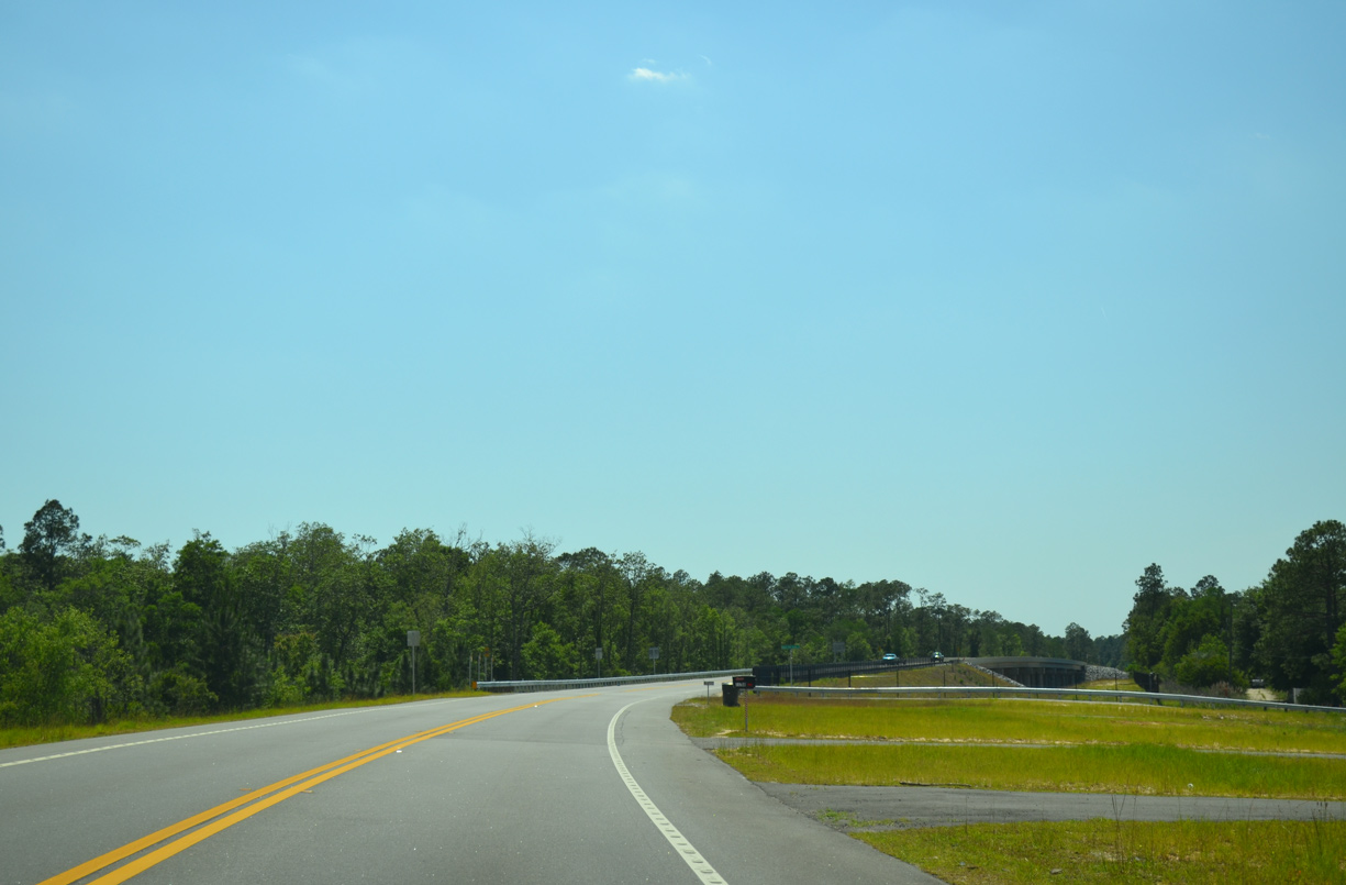
| Ruby's Fish Camp Road is the access road for both Ruby's Fish Camp and boat ramp. Construction underway between 2011 and Winter 2013 realigned U.S. 90 southward onto a higher level bridge spanning the Perido River. 05/17/14 |
|
| The 2012 span across the Perdido River replaced a bridge built in 1949. 05/17/14 |
|
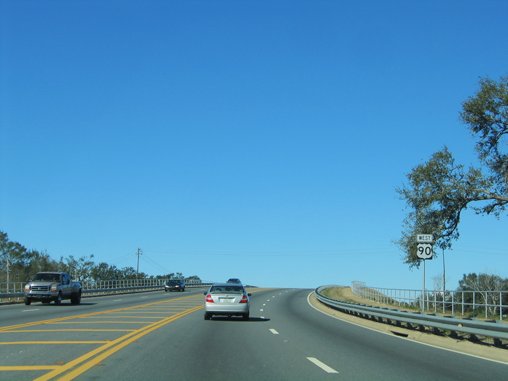
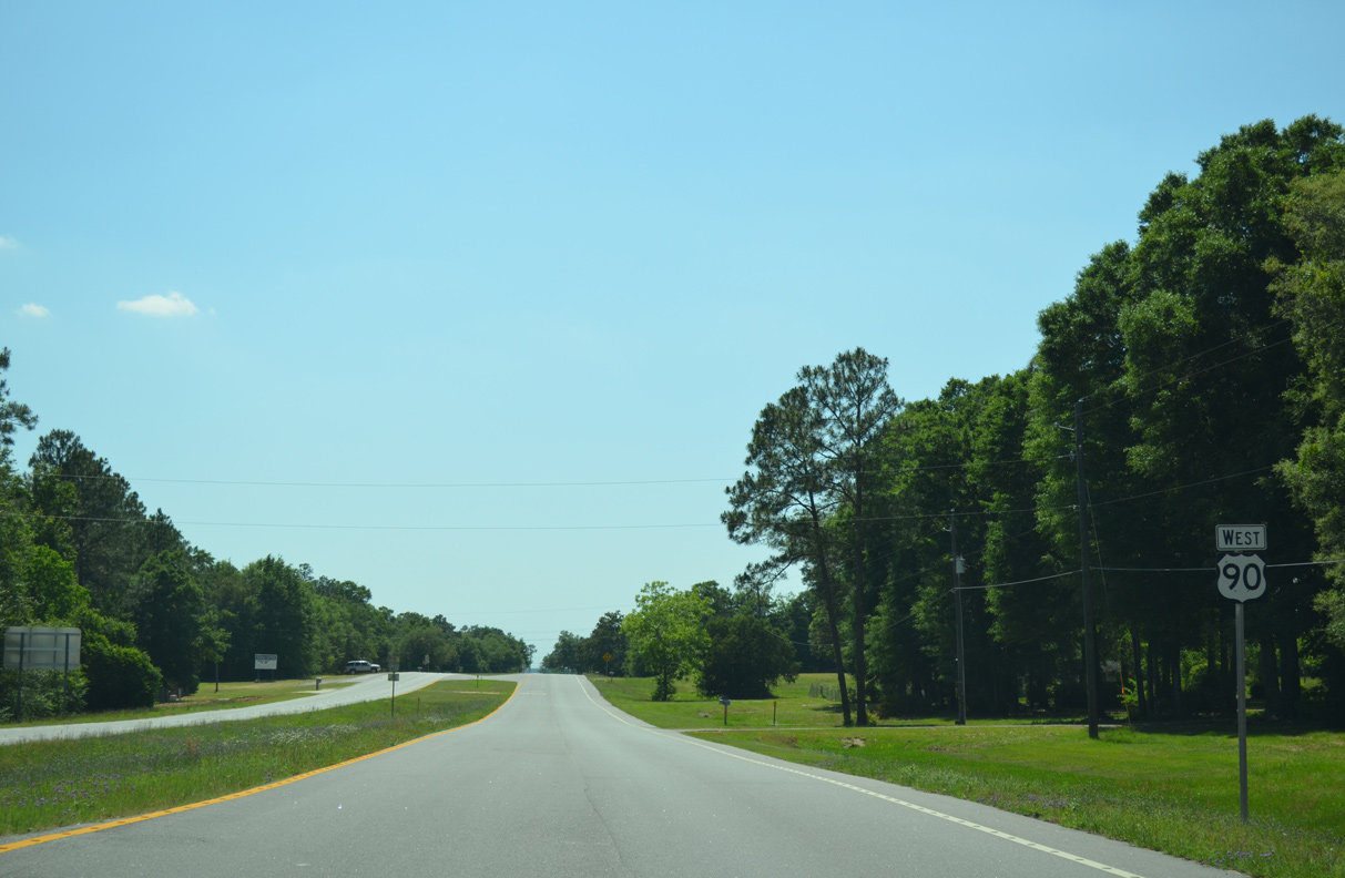
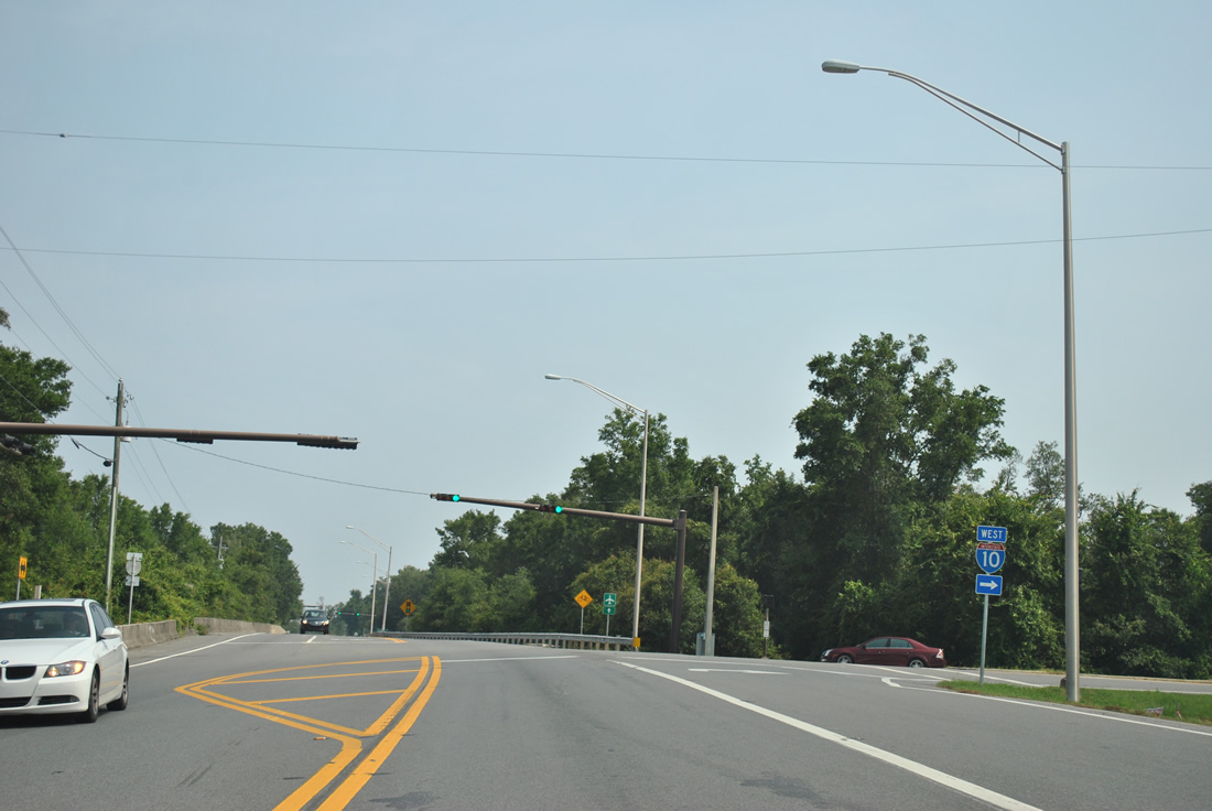
| Separating Alabama and Florida, the Perdido River flows southward to Perdido Bay. U.S. 90 advances west from the state line to Seminole. 05/17/14 |
|
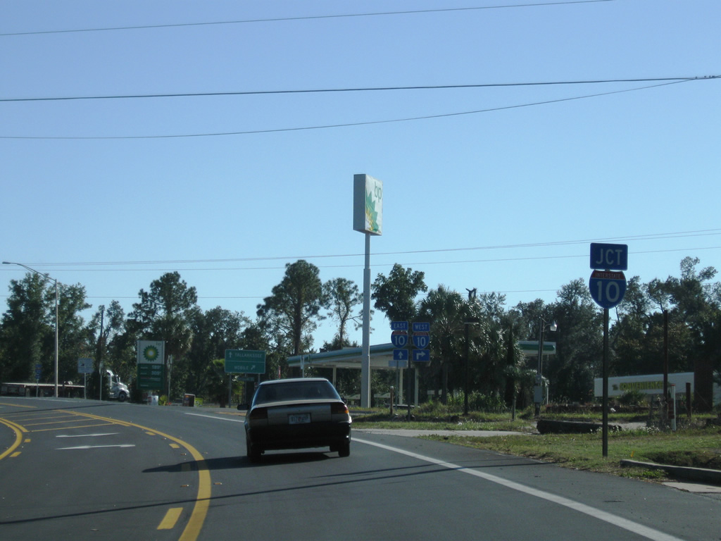
| U.S. 90 travels 77.0 miles through Baldwin and Mobile Counties across Lower Alabama. 05/17/14 |
12/21/03, 05/08/04, 01/31/06, 02/01/06, 02/10/06, 11/21/08, 08/03/11, 03/20/12, 05/25/12, 07/27/12, 11/17/12, 12/09/12, 05/27/13, 06/01/13, 05/16/14, 05/17/14, 05/16/16 by AARoads
Page Updated 10-09-2019.


 West
West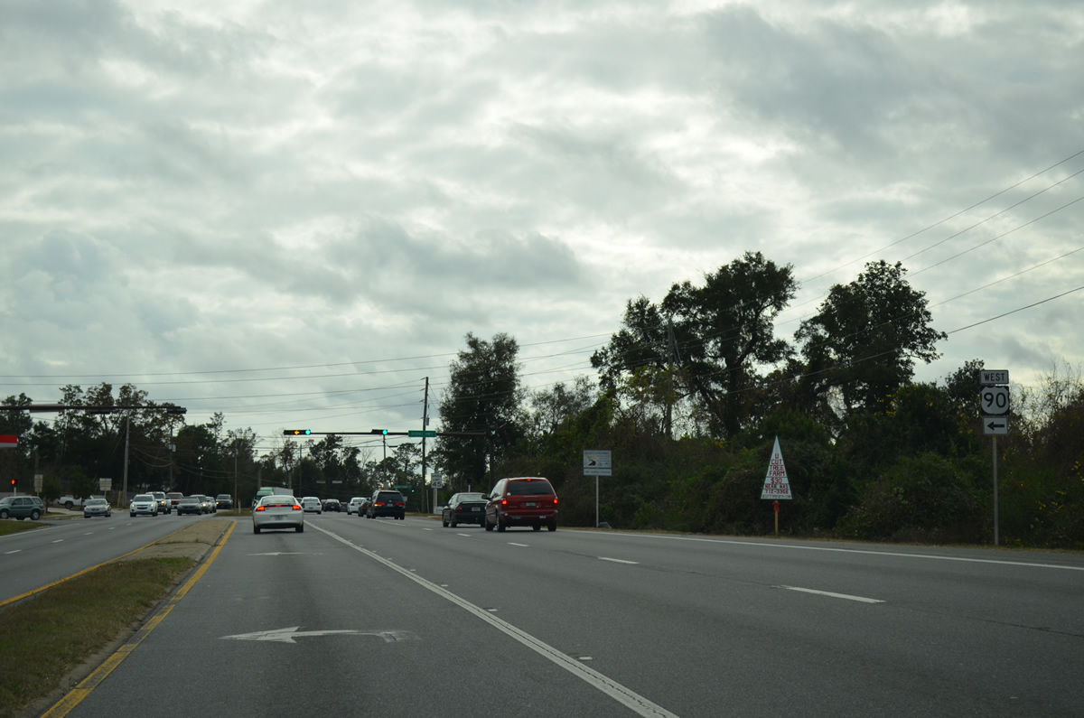
 West
West