|
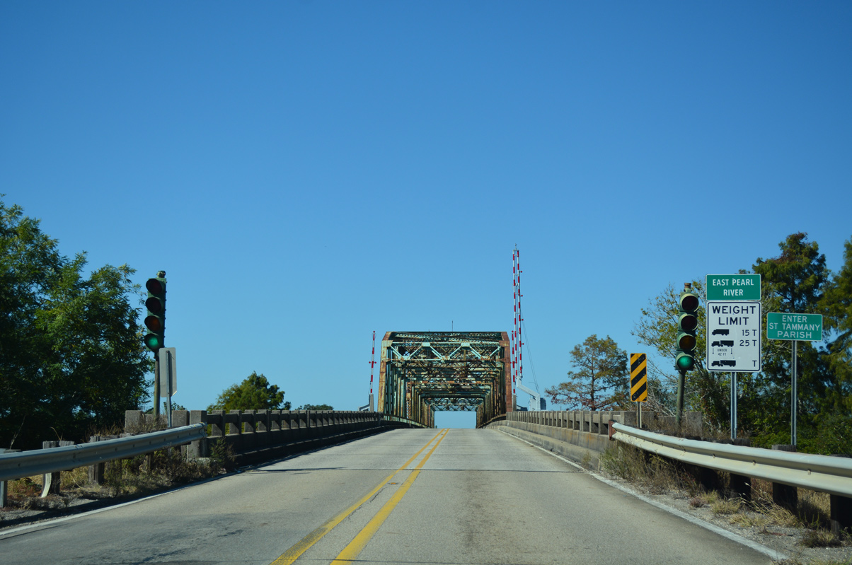
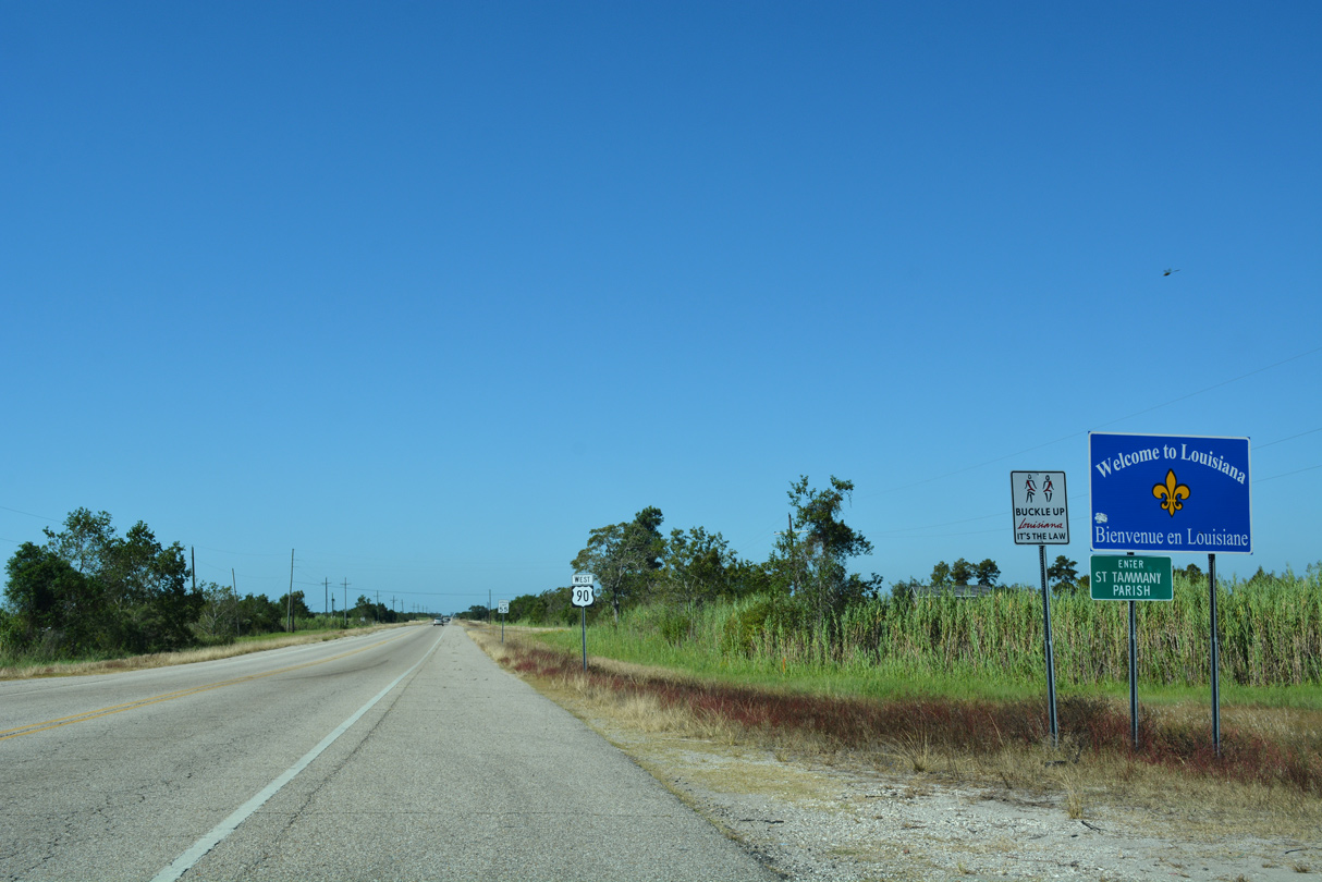
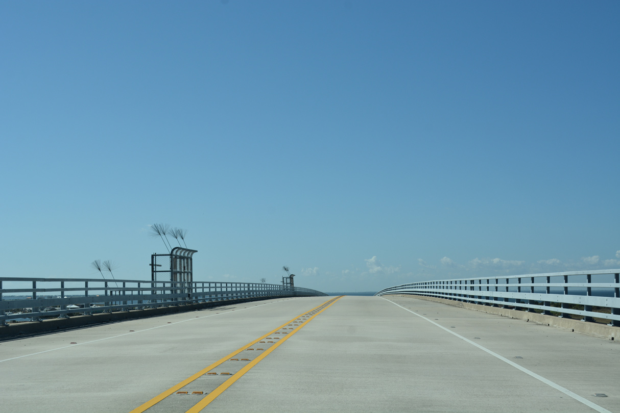
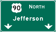
| U.S. 90 enters the state of Louisiana across the East Pearl River from Pearlington, Mississippi. 10/12/16 |
|
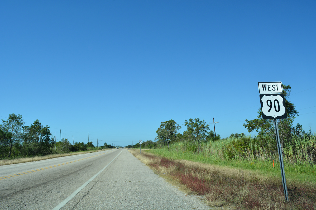
| A two lane truss swing bridge carries U.S. 90 across the East Pearl River into St. Tammany Parish, Louisiana. The bridge was built in 1926, though U.S. 90 would not utilize the Pearl River crossing until June 21, 1937, when Louisiana requested an alignment change with AASHO to relocate U.S. 90 from its alignment across the Watson-Williams Bridge (which became a part of U.S. 11 on June 28, 1939) into Slidell, to the alignment east across Chef Menteur Pass, the 1930-built Ft. Pike Bridge, and the Pearl River into Mississippi.1,2 10/12/16 |
|
| Welcome to Louisiana sign posted to the immediate west of the East Pearl River. 10/12/16 |
|
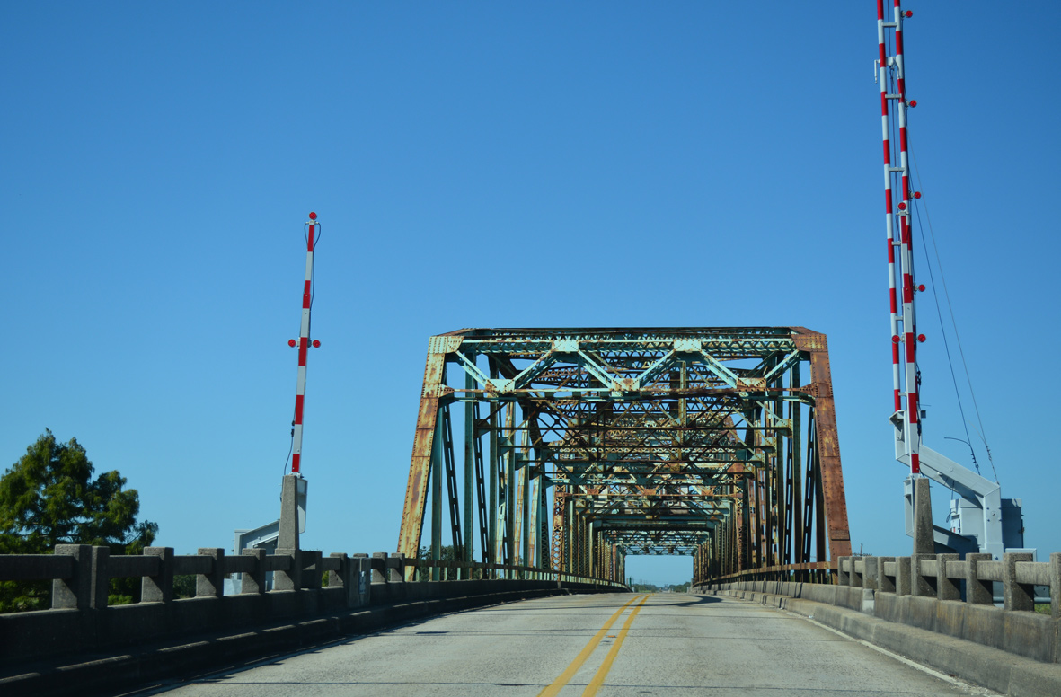
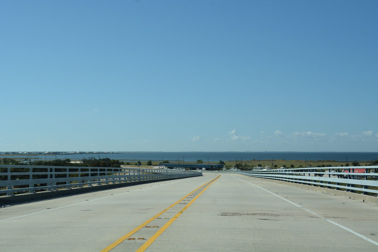
| U.S. 90 leaves the East Pearl River and travels a series of causeways and bridges to Weems Island through southeast St. Tammany Parish. 10/12/16 |
|
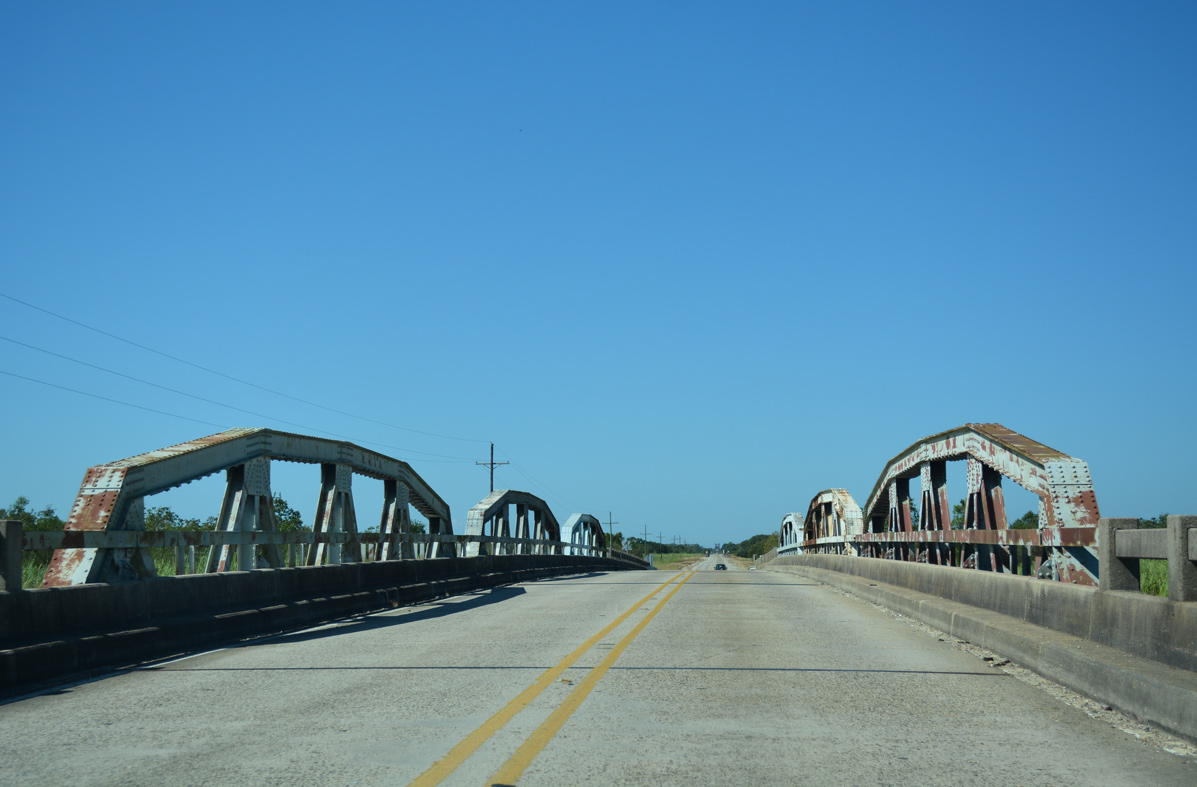
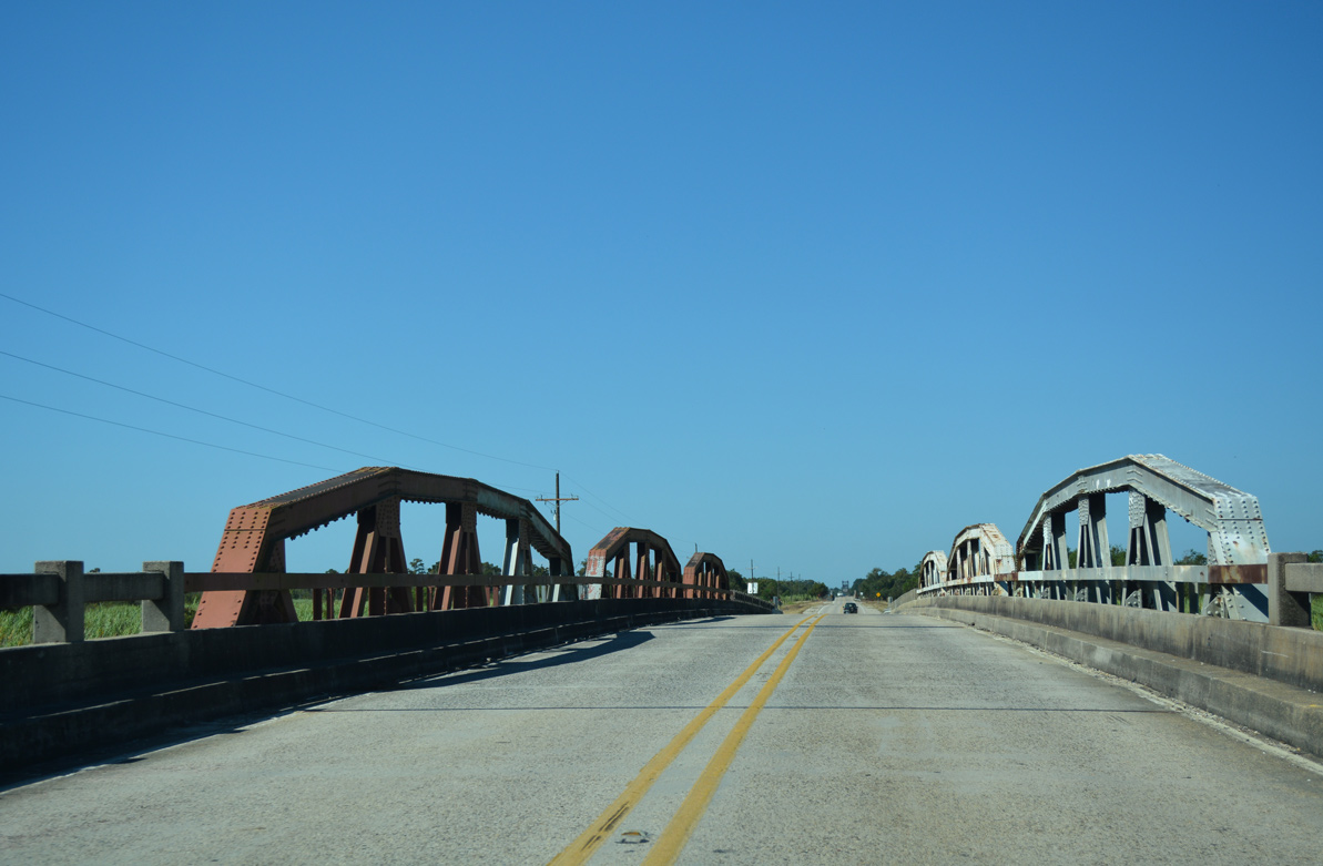
| The first of three 1933-built pony truss bridges along U.S. 90 carries drivers over the East Middle River onto Desert Island. 10/12/16 |
|
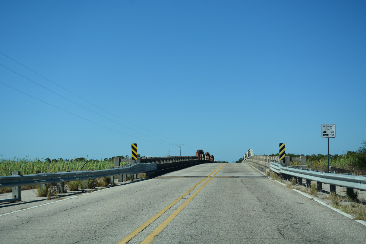
| U.S. 90 spans the Middle River between Desert Island and Deer Island on the second pony truss bridge. 10/12/16 |
|
| Spanning the West Middle River onto Honey Island on the third pony truss bridge of U.S. 90 westbound. 10/12/16 |
|
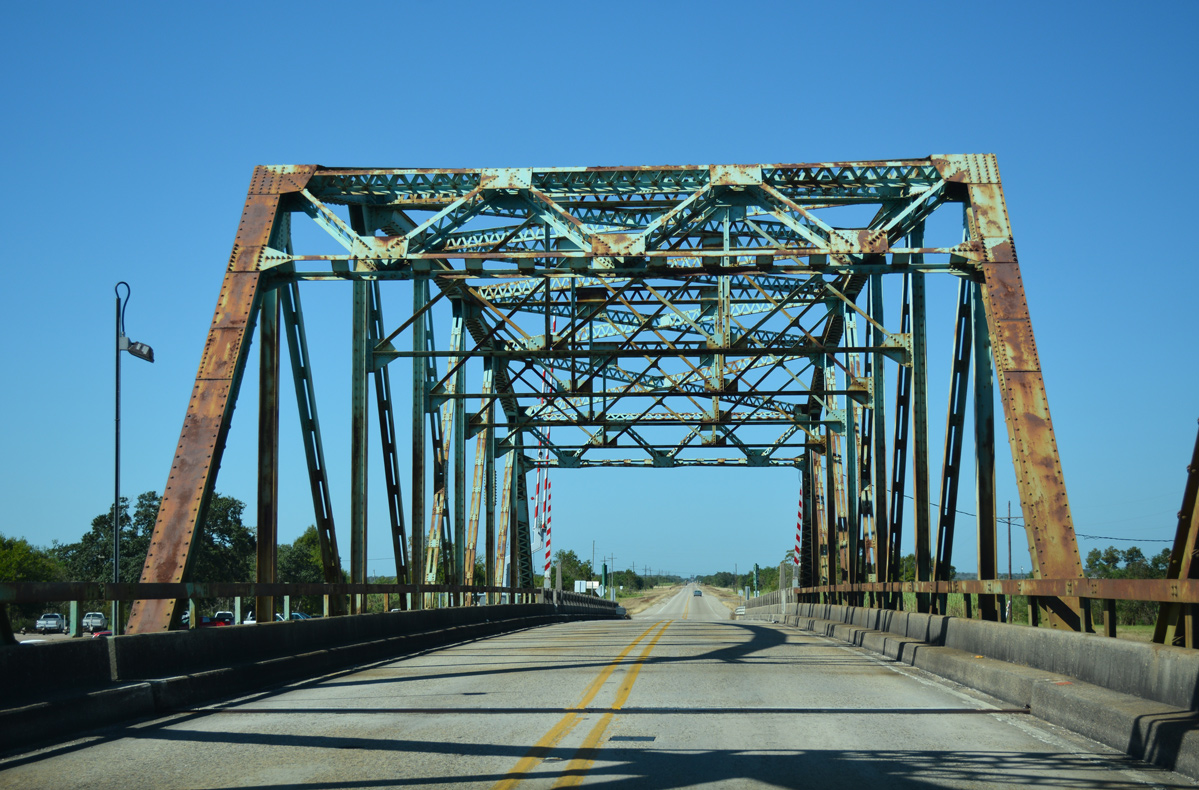
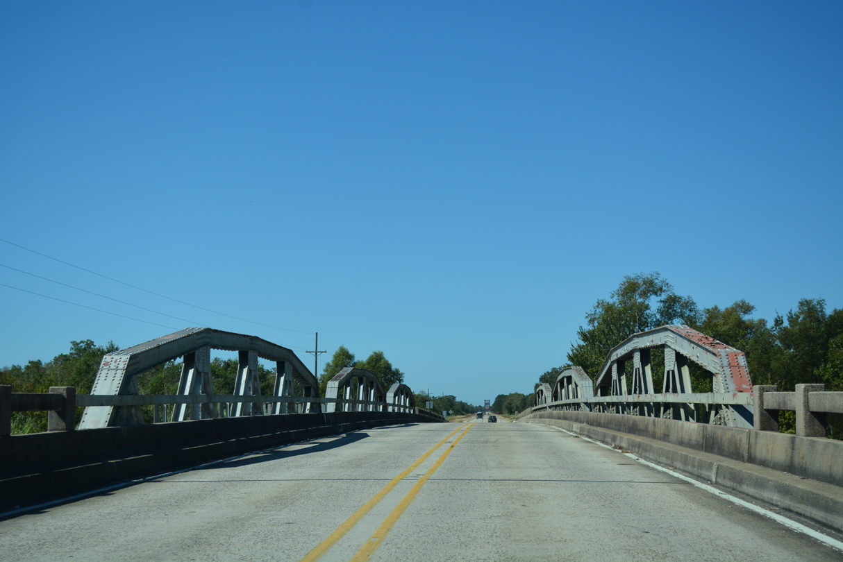
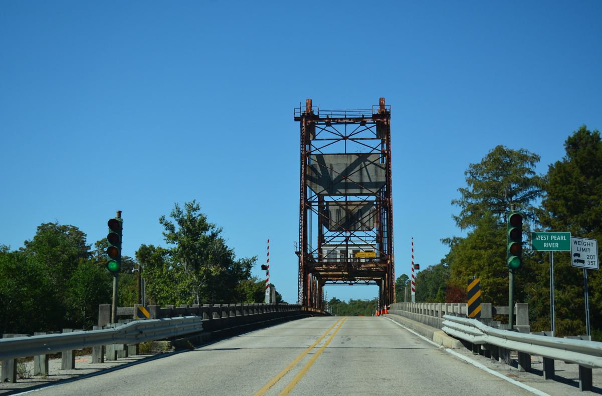
| The West Pearl River Bridge dominates the western horizon from Deer Island westward across Honey Island. U.S. 90 enters the settlement of Deer Island at the span. 10/12/16 |
|
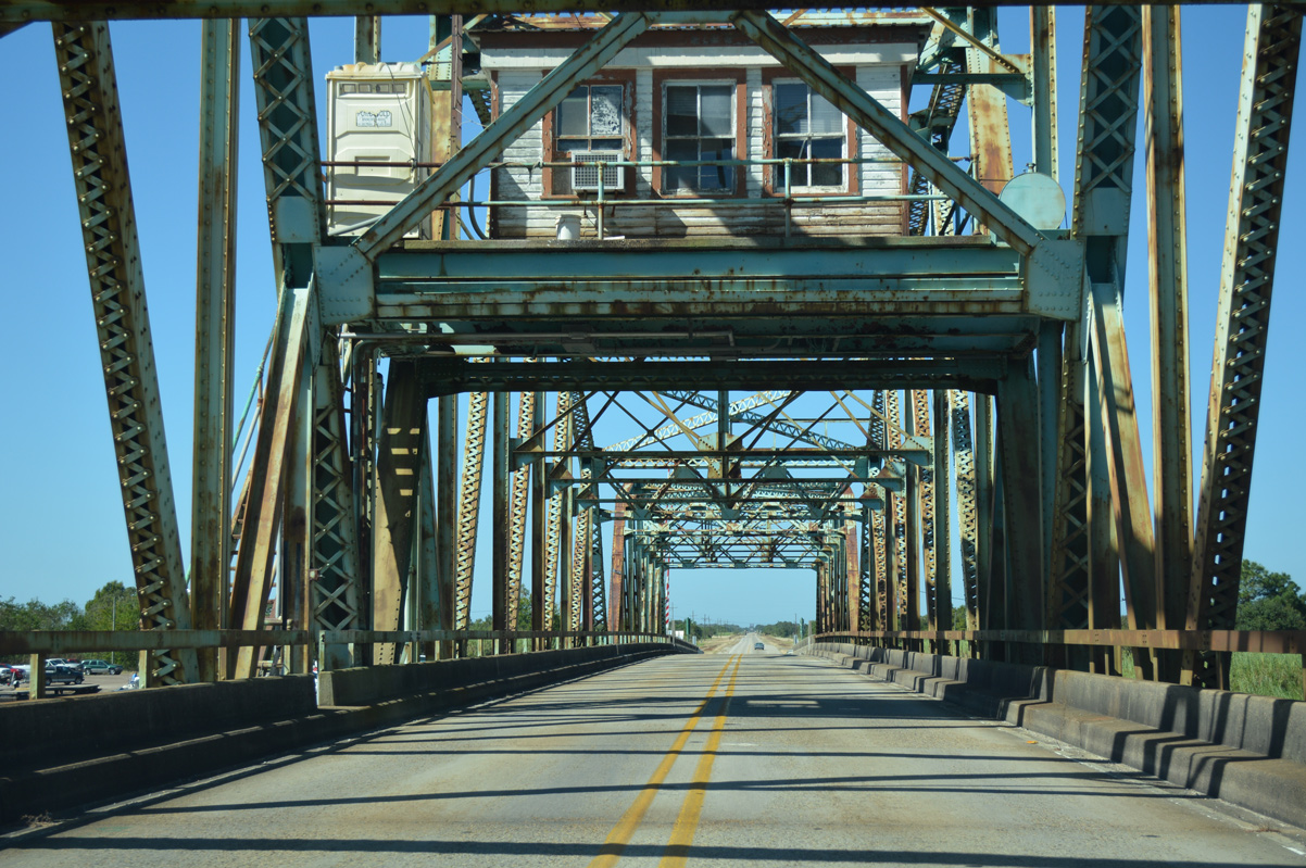
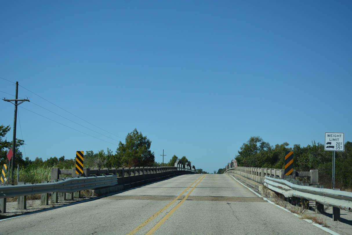
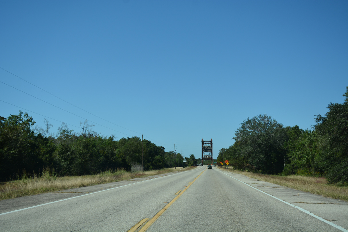
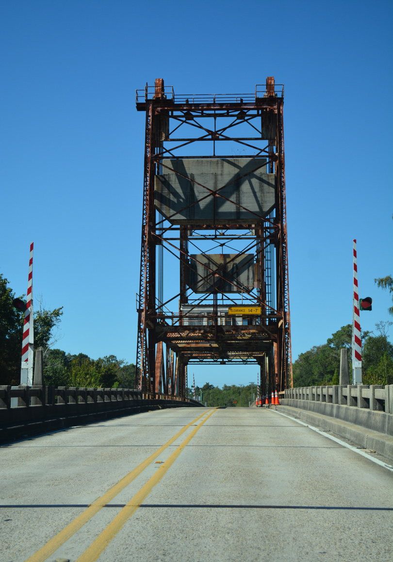
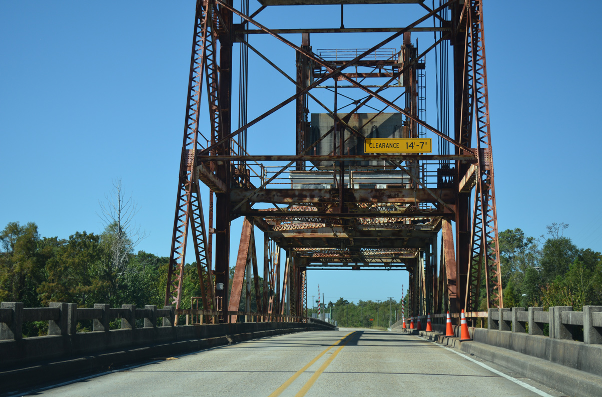
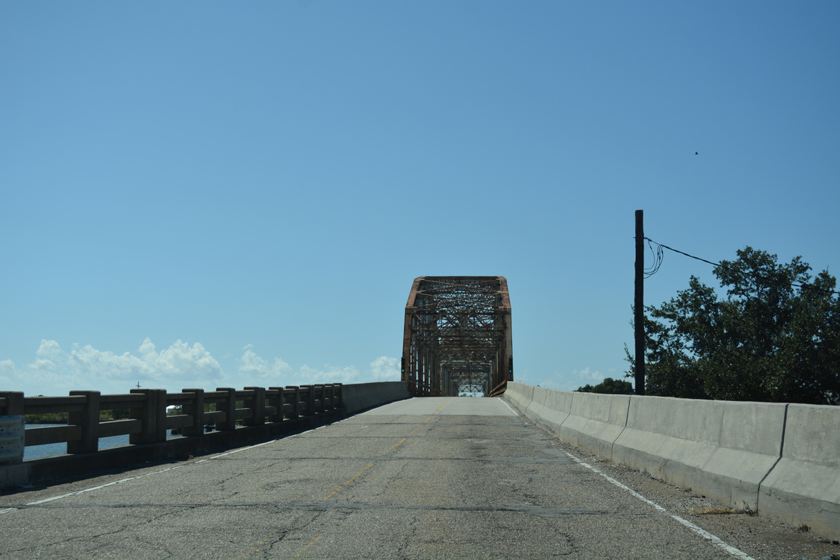
| U.S. 90 spans the West Pearl River over a two lane lift bridge built in 1933. 10/12/16 |
|
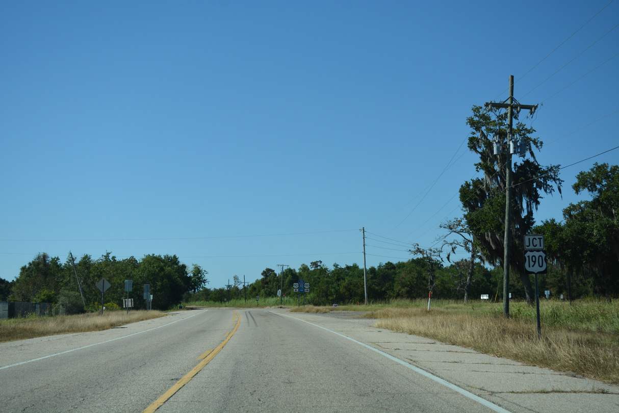
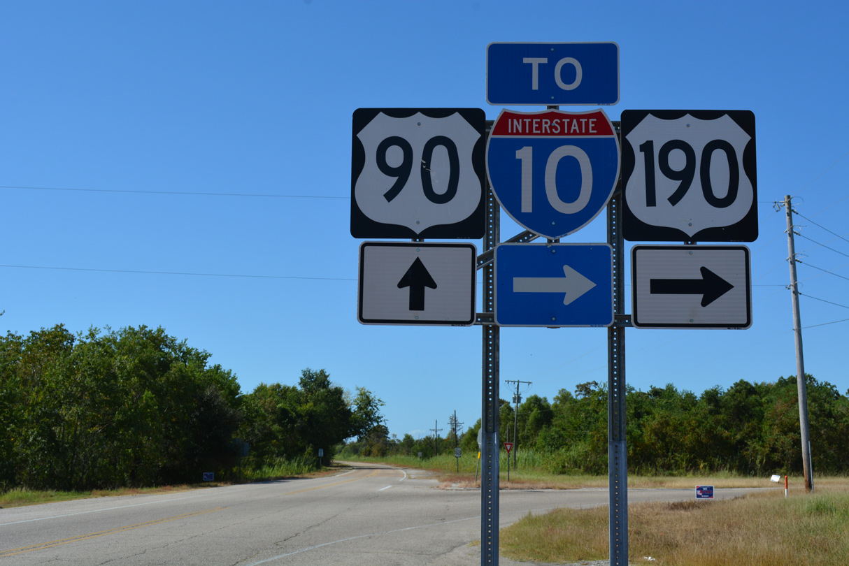
| A short distance west of the West Pearl River is the eastern terminus of U.S. 190 at White Kitchen.
A wayside park and welcome pavilion used to reside on the northeast corner of the intersection between U.S. 90 and 190. Damage from Hurricane Katrina led to the closure and demolition of the facility. 10/12/16 |
|
| U.S. 190 begins and travels 7.7 miles west to meet Interstate 10 in Slidell. Connections with U.S. 190 Business (Shortcut Highway) provide a direct route to Downtown while U.S. 190 constitutes a commercial arterial to the north. 10/12/16 |
|
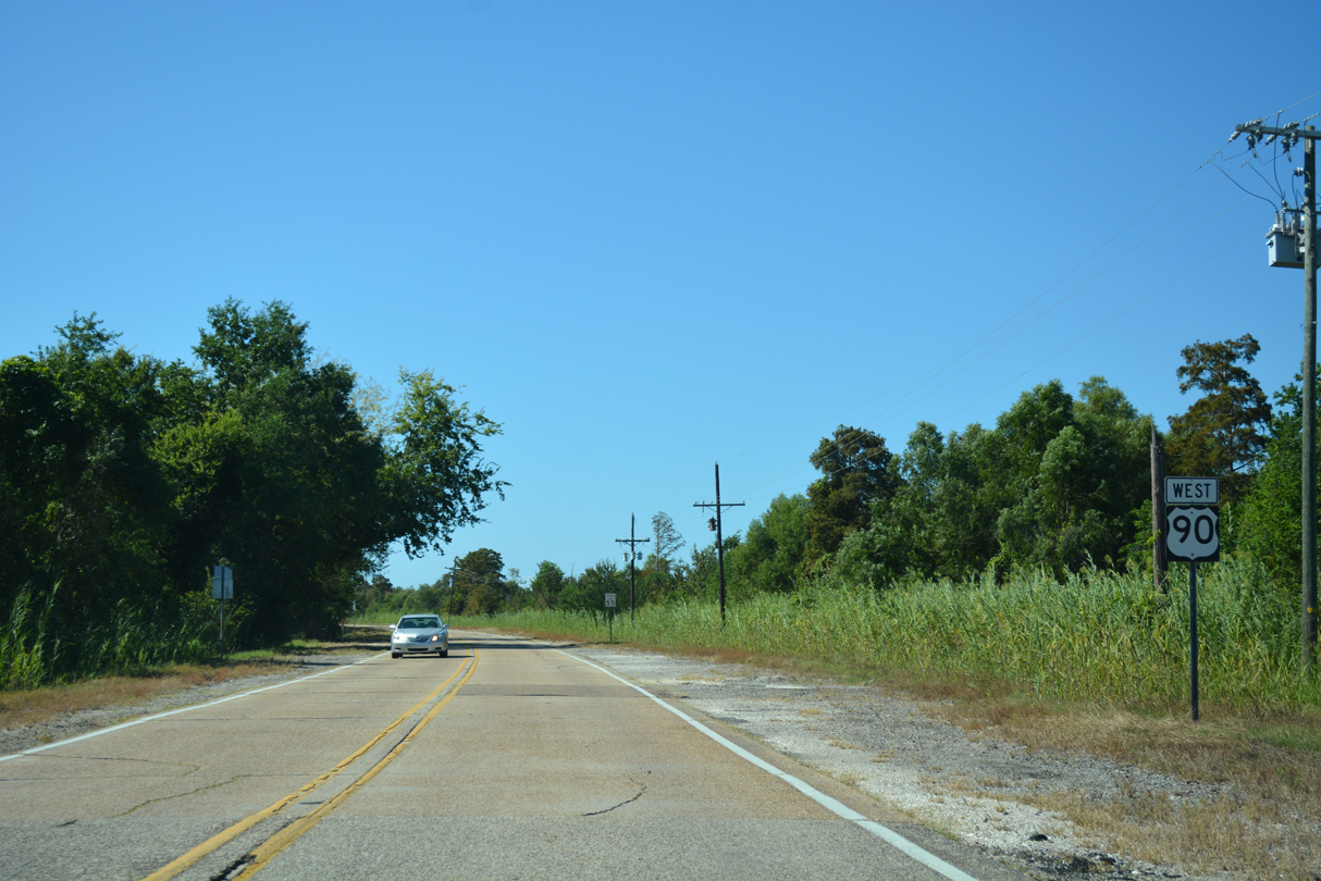
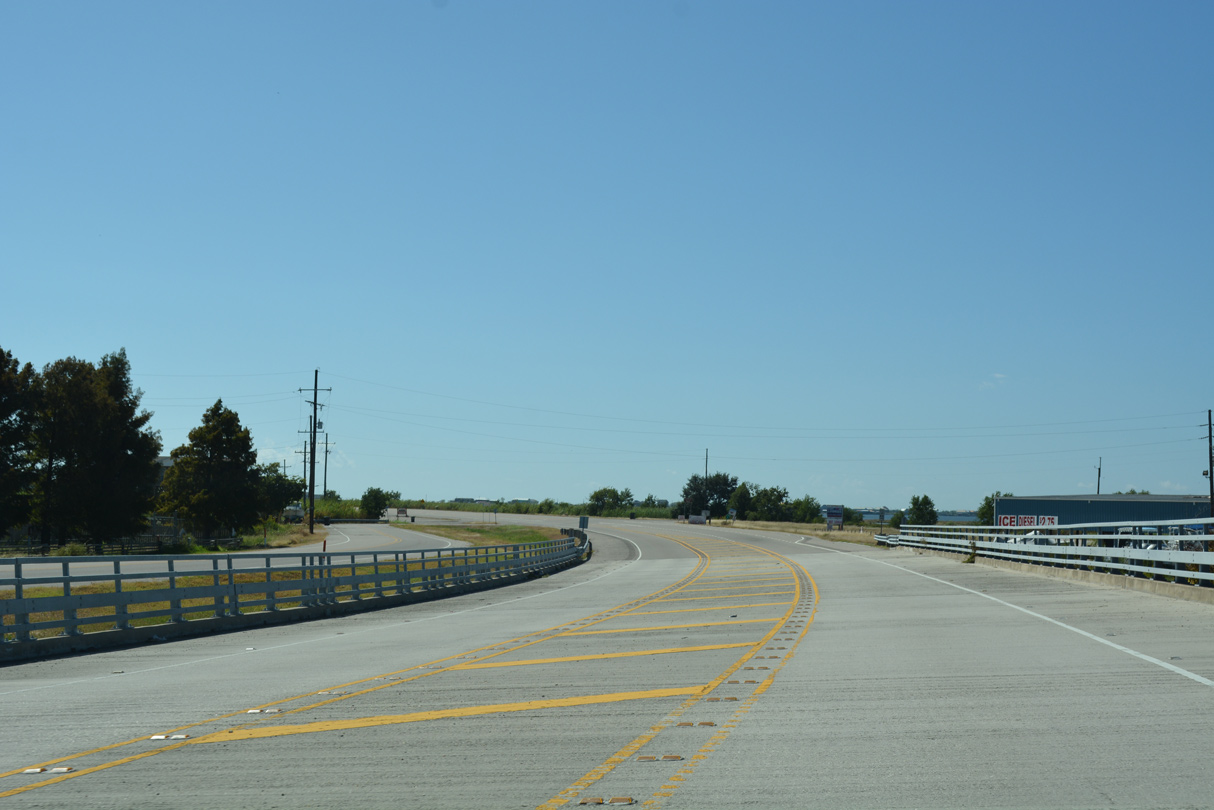
| U.S. 90 curves southward toward the Rigolets and Orleans Parish from White Kitchen and U.S. 190. 10/12/16 |
|
| U.S. 90 bee lines southwest from Apple Pie Ridge to cross Salt Bayou and Prevost Island ahead of Fort Pike. 10/12/16 |
|
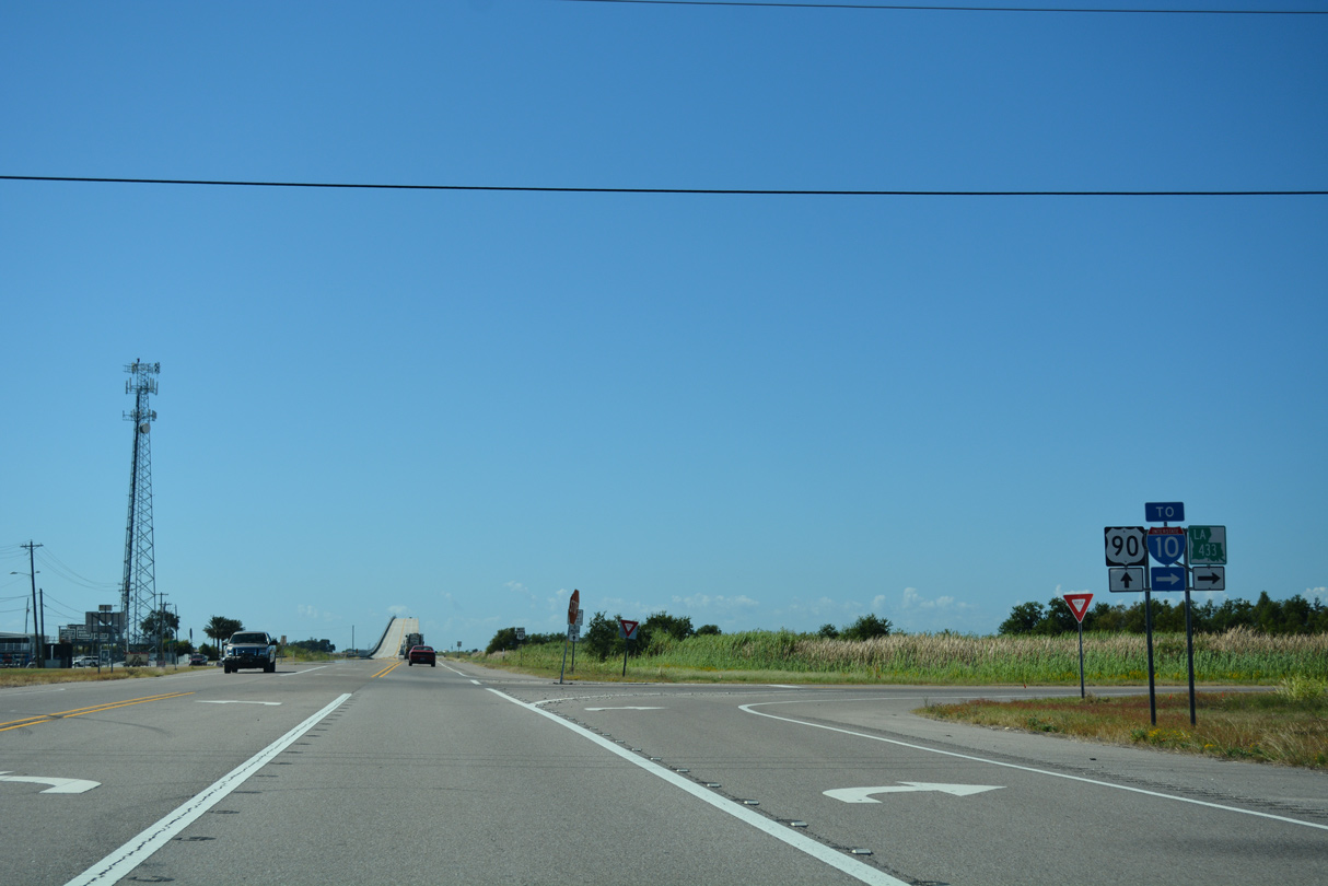
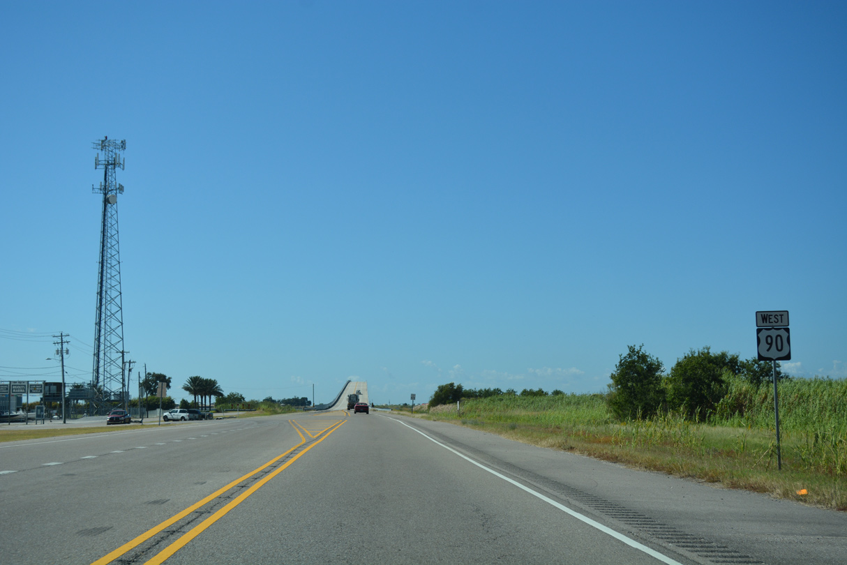
| Beyond Prevost Island, U.S. 90 intersects the east end of LA 433 by The Rigolets. LA 433 (Old Spanish Trail) winds northwest 8.1 miles to combine with U.S. 11 through the city of Slidell. The state highway represents a historic alignment of both U.S. 90 and LA 2. 10/12/16 |
|
| Confirming marker posted for U.S. 90 after LA 433. A short section of the old alignment was retained as a local service road. 10/12/16 |
|
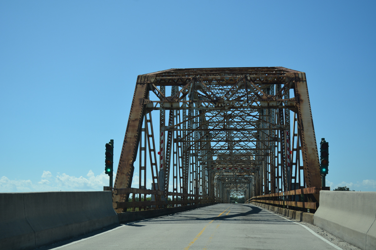
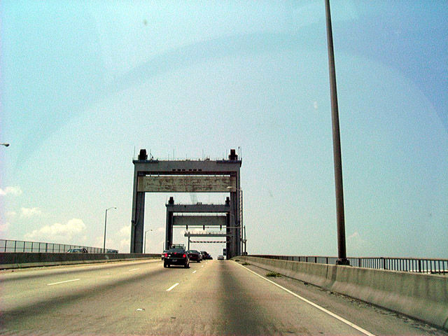
| Opened on January 15, 2008 at a cost of $50 million, the new Rigolets Bridge supports two 12 foot travel lanes with 8 foot shoulders in each direction. This was a major upgrade compared to the Ft. Pike Bridge, a swing bridge opened in 1930 with 10 foot travel lanes and no shoulders.3 10/12/16 |
|
| The 72 foot clearance provided by the Rigolets Pass Bridge allows the largest of marine craft unimpeded passage between Lakes Pontchartrain and Borgne.3 10/12/16 |
|
| The Rigolets marks the eastern edge of the city limits of New Orleans. Planned in 1927 and opened to traffic on June 9, 1930, the Rigolets Bridge in conjunction with the September 1929 opened Chef Menteur Bridge provided a free route between the city of New Orleans and Bay Saint Louis, Mississippi. Plans for a crossing here first arose as early as 1918.1 10/12/16 |
|
| U.S. 90 west touches down by the Fort Pike State Historic Site.
Named after General Zebulon Montgomery Pike, Fort Pike was built between 1819 and 1826. Construction of the fort followed the War of 1812 by order of President James Monroe to better fortify the United States coastal areas. The installation was used as a staging area for troop movement during the Seminole Wars (1830s) and the Mexican War (1840s). Fort Pike would play a greater role during the Civil War (1861), first in the hands of the Louisiana militia and then as a Union-controlled base for operations and training. Beyond the Civil War, the fort remained in military hands until its closing in 1890.
The fort was added to the National Register of Historic Places in 1972. It was damaged by the August 29, 2005 landfall of Hurricane Katrina and again August 30, 2008 by Hurricane Gustav. A combined $898,000 in repairs after both storms reopened the fort on June 12, 2009, but state budget cuts have closed it since. 10/12/16 |
|
| U.S. 90 travels along a narrow peninsula between Lake Pontchartrain and Lake St. Catherine from Fort Pike southward to Greens Ditch. 12/10/07 |
|
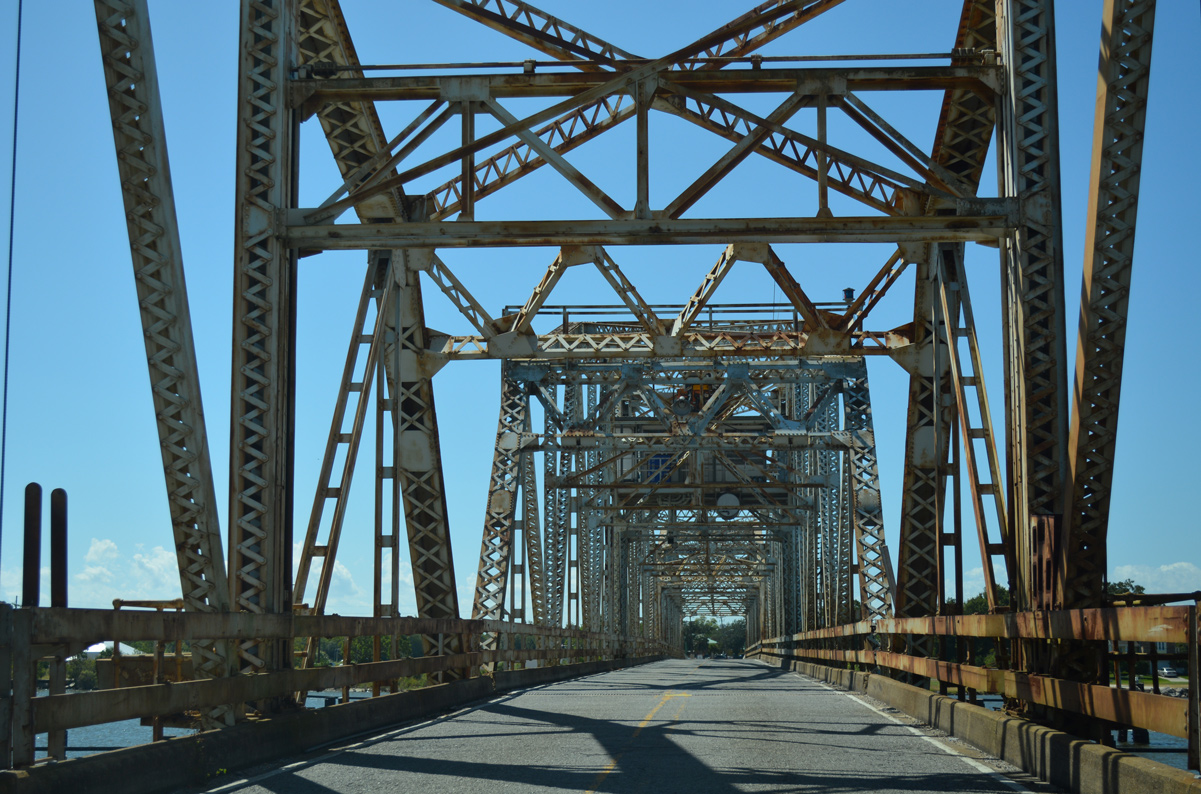
| U.S. 90 parallels Marquez Canal and Chef Menteur Pass to a 1929-built truss bridge between Chef Menteur and Venetian Isles. 10/12/16 |
|
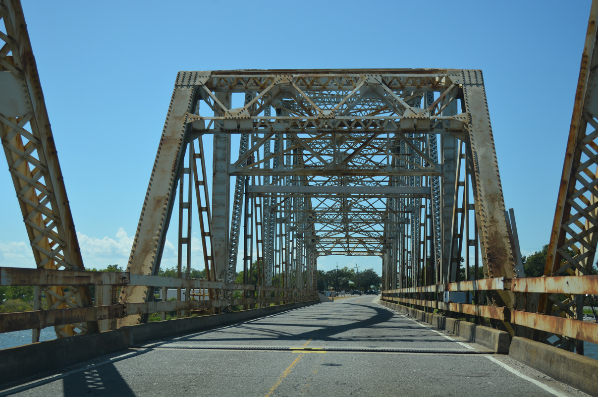
| The original approach guard rails of the narrow two lane Chef Menteur Pass bridge were replaced with a concrete barrier as part of repairs made since Hurricane Katrina. 10/12/16 |
|
| Like the West Pearl River Bridge, the Chef Menteur Bridge is movable to allow sea traffic passage between Lakes Pontchartrain and Borgne. 10/12/16 |
|
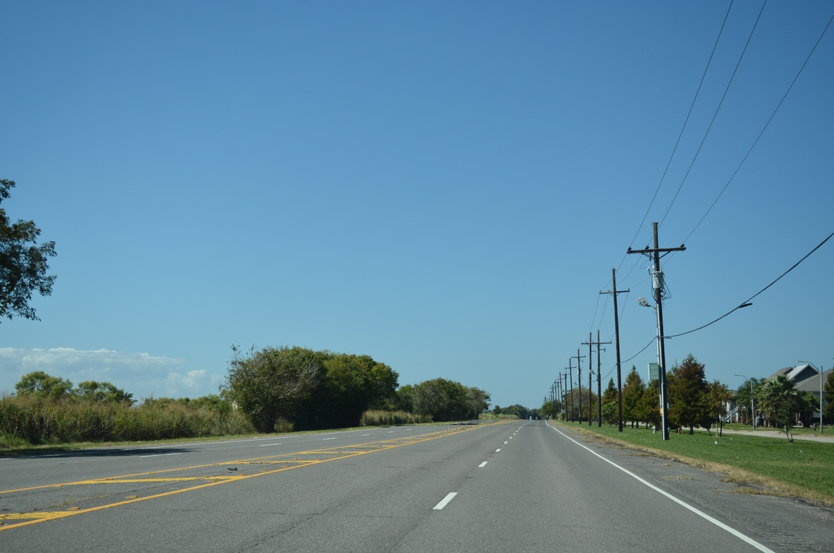
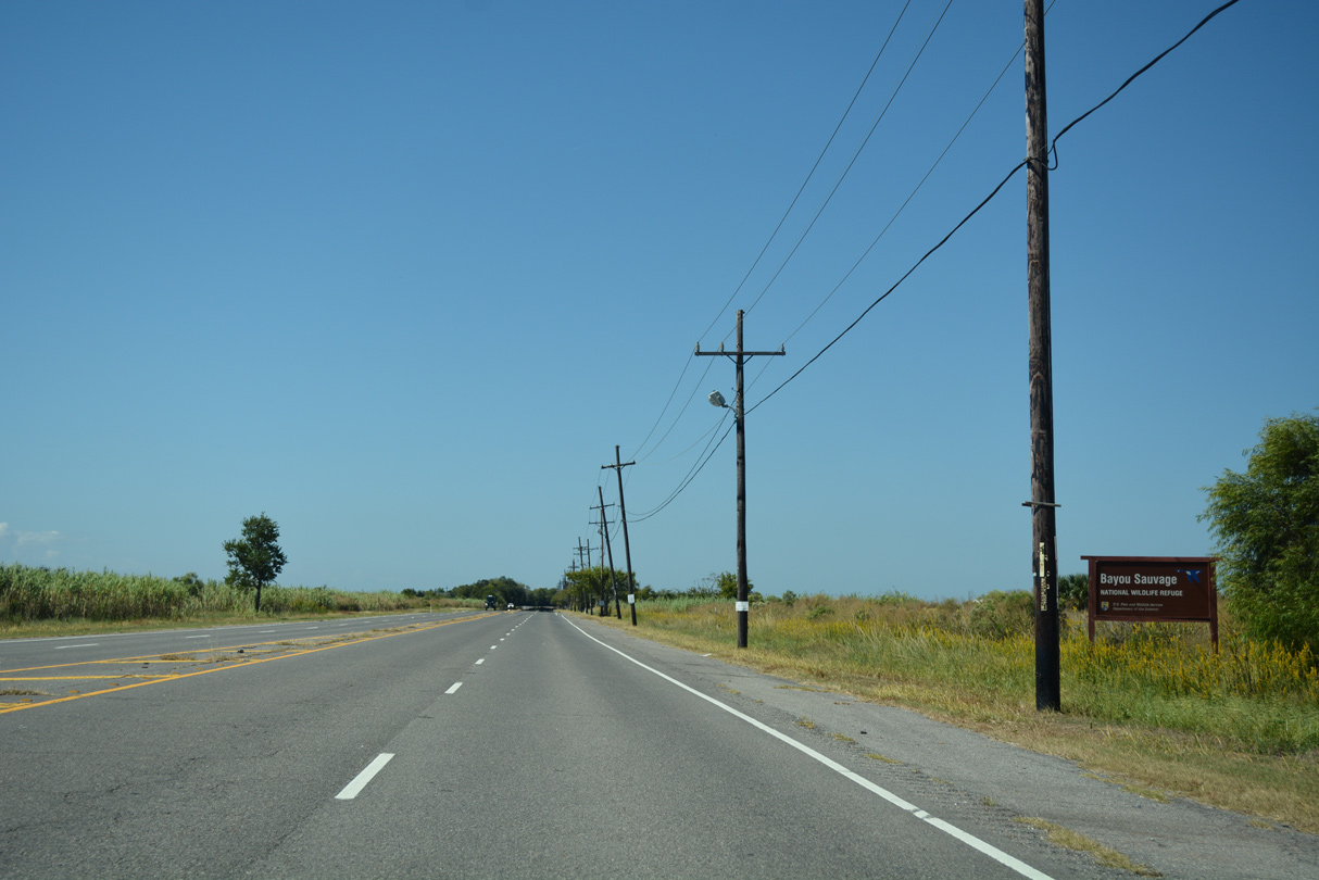
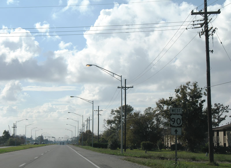
| U.S. 90 (Chef Menteur Highway) widens to four lanes west of the Chef Menteur Bridge through the community of Venetian Isles. Bayou Sauvage and the Bayou Sauvage National Wildlife Refuge encompass lands along the north side. 10/12/16 |
|
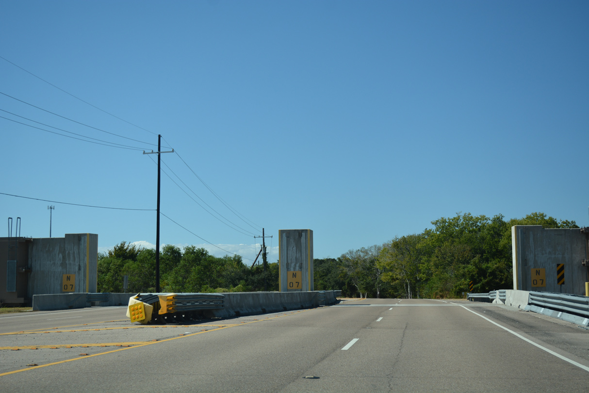
| U.S. 90 crosses a levee separating Bayou Sauvage and Powers Junction through this gate. 10/12/16 |
|
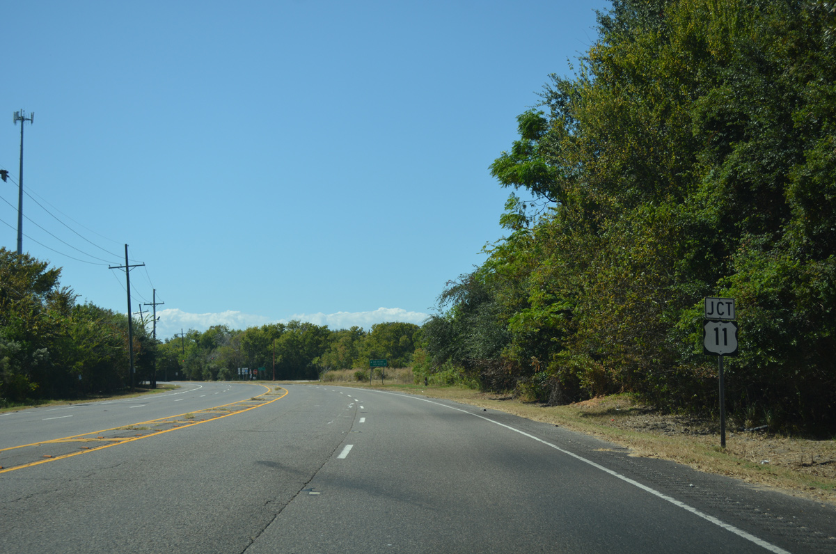
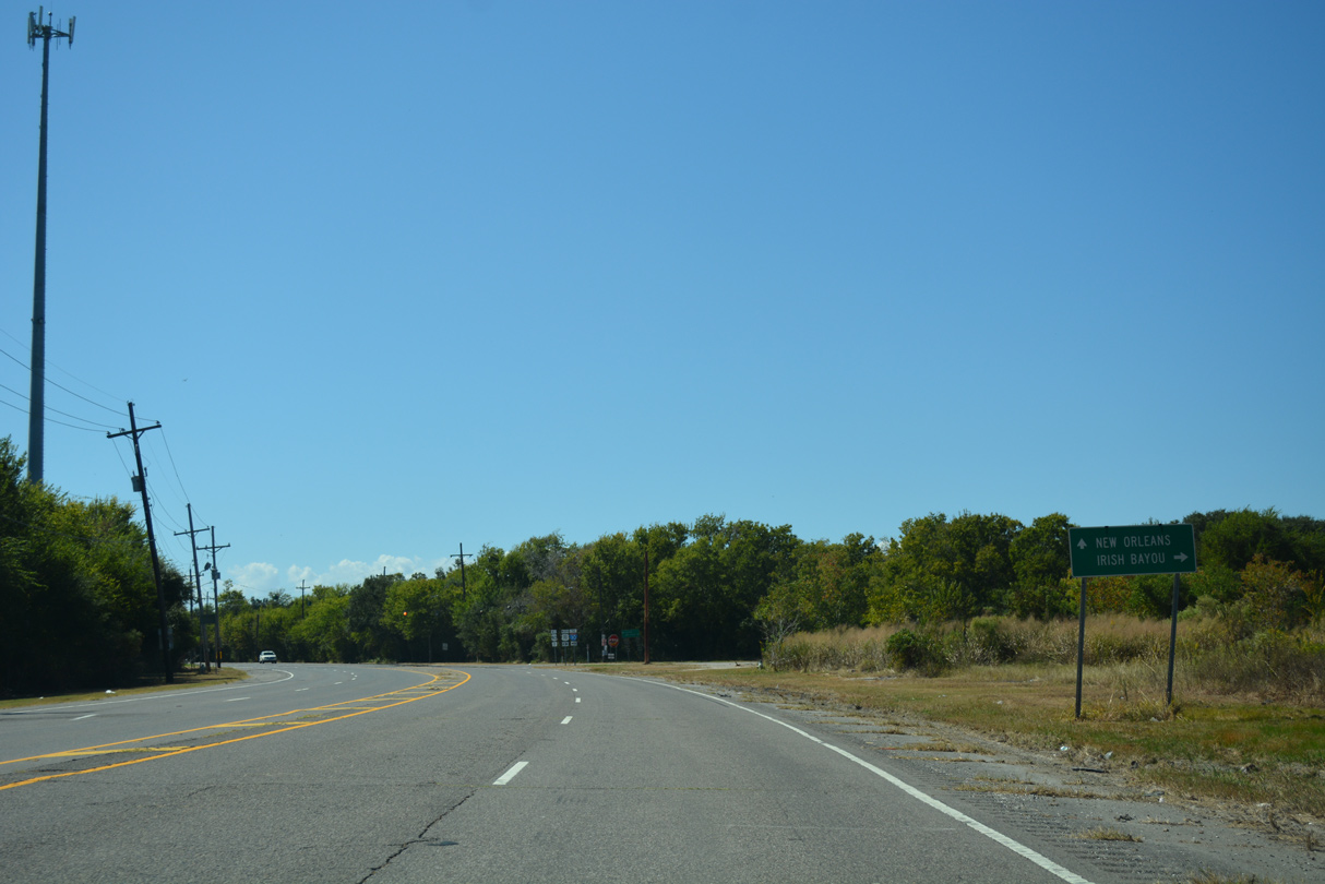
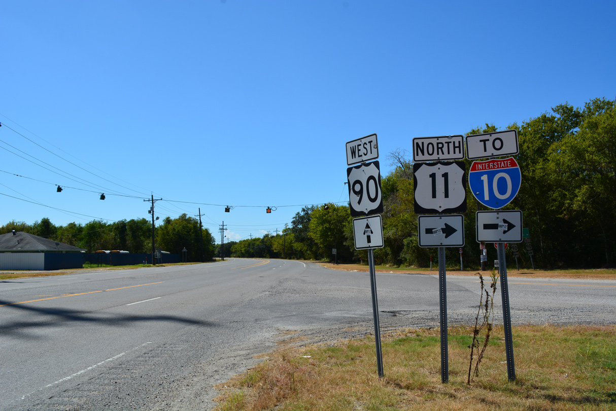
| Westbound U.S. 90 intersects the southern terminus of U.S. 11 with Bayou Sauvage National Wildlife Refuge. U.S. 11, which follows Interstate 59 northward to the Appalachian Mountains, can be traced 1,645 miles to the Canadian Border at Rouses Point, New York. 10/12/16 |
|
| Forthcoming U.S. 11 meanders northward along a narrow strip of land 5.4 miles to Interstate 10 (Exit 254) at Irish Bayou. Beyond the freeway is the 5-Mile bridge across Lake Pontchartrain into Slidell. 10/12/16 |
|
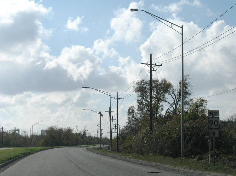
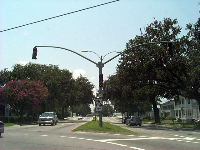
| A set of flashers operate at the rural intersection joining U.S. 11 and U.S. 90 at Powers Junction. Originally U.S. 11 overlapped with U.S. 90 west to the junction with U.S. 51-61-65 outside Downtown New Orleans. This routing was maintained for continuity purposes for traffic heading to Hattiesburg and Meridian in Mississippi and Birmingham, Alabama. 10/12/16 |
|
| U.S. 90 (Chef Menteur Highway) curves southward towards Village de L'Est. 12/10/07 |
|
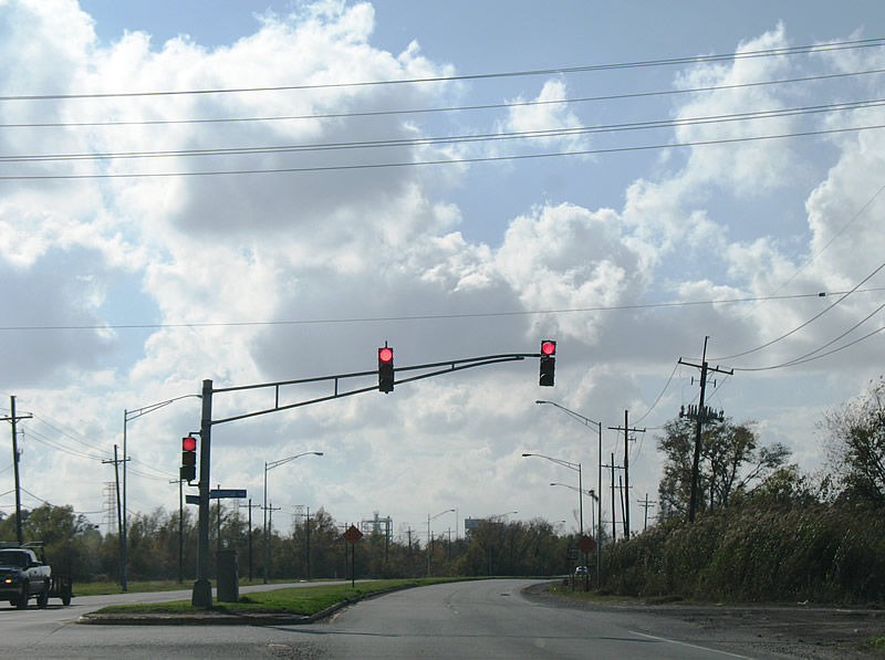
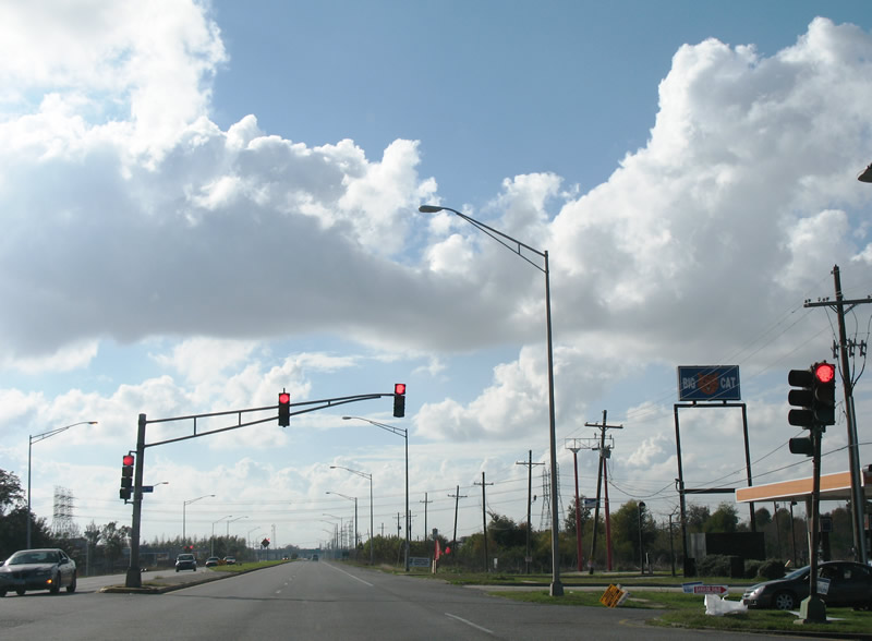
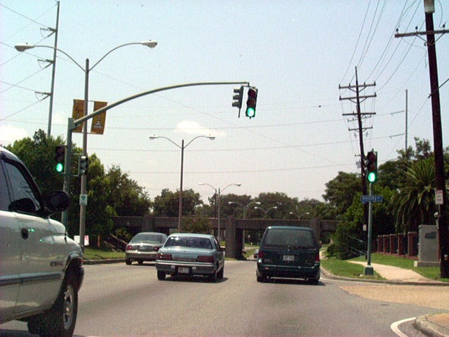
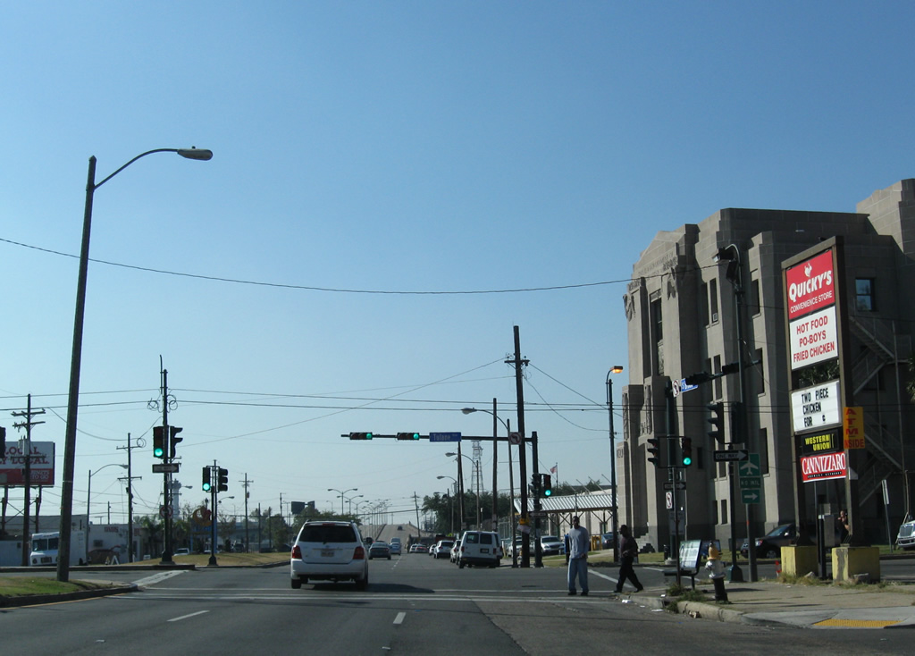
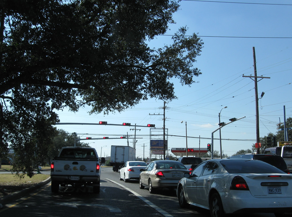
| The first traffic light along U.S. 90 westbound in Louisiana is at Industrial Parkway near the Michoud industrial center. Industrial Parkway leads southward to industrial plants on Intracoastal Drive along Michoud Canal and the Intracoastal Waterway. 12/10/07 |
|
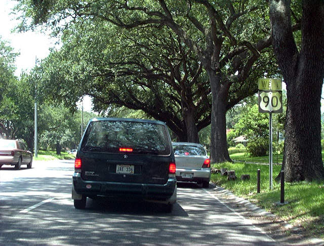
| U.S. 90 (Chef Menteur Highway) widens to include a grassy median south of Village de L'Est through New Orleans East. 12/10/07 |
|
| Old Gentilly Road splits to the south from U.S. 90 (Chef Menteur Highway) west near the once abandoned Gateway Terrace Apartments. Alcee Fortier Boulevard stems north at the next signalized intersection to Dwyer Road at Village de L'Est. 12/10/07 |
|
| Michoud Boulevard crosses paths with U.S. 90 (Chef Menteur Highway) between Village de L'Est and Old Gentilly Road at the NASA Michoud Assembly Facility. Michoud Boulevard links U.S. 90 with the Villages of Oak Island and Exit 248 of Interstate 10. 12/10/07 |
|
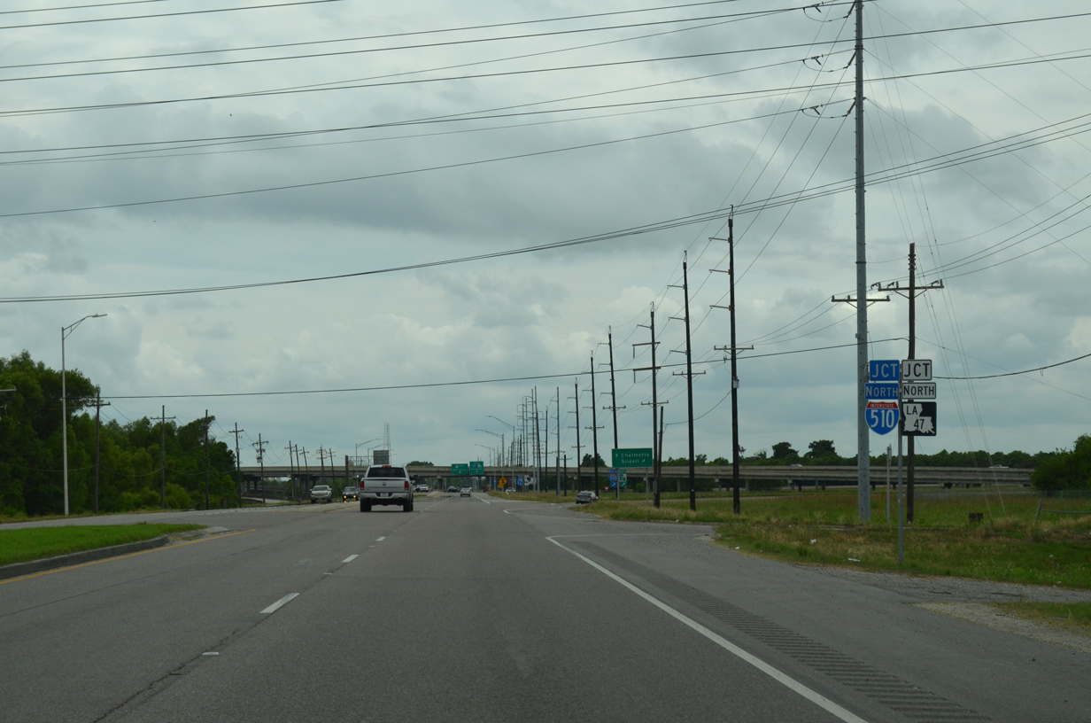
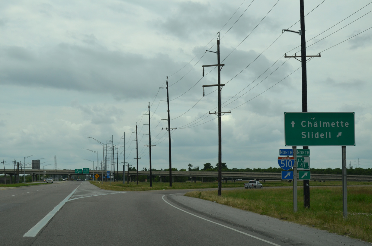
| U.S. 90 (Chef Menteur Highway) next meets Paris Road, the I-510 & LA 47 frontage road system from Old Gentilly Road north to Lake Forest Boulevard. 05/09/15 |
|
| I-510 & LA 47 travel south to the Intracoastal Waterway Bridge and north to I-10 at Little Woods. The freeway replaced Paris Road (old LA 47), which now represents the adjacent service roads. 05/09/15 |
|
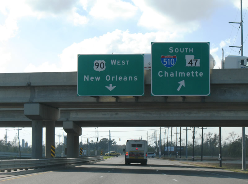
| Drivers bound for Interstate 510 & LA 47 south depart U.S. 90 (Chef Menteur Highway) west via a loop ramp. LA 47 continues Paris Road south from the Intracoastal Waterway Bridge into St. Bernard Parish. The state highway ends in seven miles at LA 46 (St. Bernard Highway) in Chalmette. U.S. 90 continues otherwise through New Orleans East to the Read Boulevard and Plum Orchard communities. 12/10/07 |
|
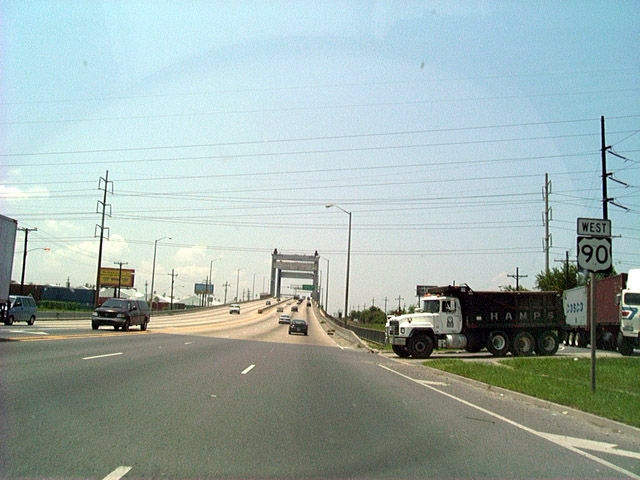
| Westbound U.S. 90 approaching the Inner Harbor Navigational Canal (Industrial Canal) lift bridge. The span rises from west of Downman Road above ramps to Jourdan Road. 08/02/02 |
|
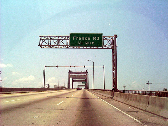
| A pair of loop ramps connect U.S. 90 (Chef Menteur Highway) with France Road at the west descent of the Danziger Bridge. 08/02/02 |
|
| Cresting on the Danziger Bridge along U.S. 90 westbound above Industrial Canal. The span carries seven lanes of traffic via a 108 foot wide and 320 foot long deck. Opened in 1989, it was at one point the widest lift bridge in the world. The $37.9 million bridge replaced a double-leaf bascule bridge.1 08/02/02 |
|
| Traffic for France Road exits before the end of the bridge for the Gentilly Woods and Desire neighborhoods of New Orleans. Six lanes of U.S. 90 continue west toward the Gentilly Terrace community. 08/02/02 |
|
| Old Gentilly Road (old U.S. 90) merges with the Chef Menteur Highway to form Gentilly Boulevard opposite Providence Place and the New Orleans Baptist Theological Seminary. U.S. 90 sinks below a gothic style overpass carrying a Norfolk Southern Railroad line.
These mast-arm signals were replaced. 08/02/02 |
|
| Older U.S. 90 westbound reassurance shield, still posted as of April 2011, past the intersection with Franklin Avenue in the Gentilly Terrace neighborhood of the city. 08/02/02 |
|
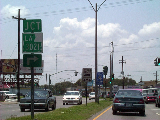
| The northern terminus of LA 3021 is located at the intersection of Elysian Fields Avenue and U.S. 90 (Gentilly Boulevard). Traffic bound for LA 3021 / Elysian Fields Avenue south must make a Michigan left to access the state highway as left turns are prohibited from U.S. 90 west. 08/02/02 |
|
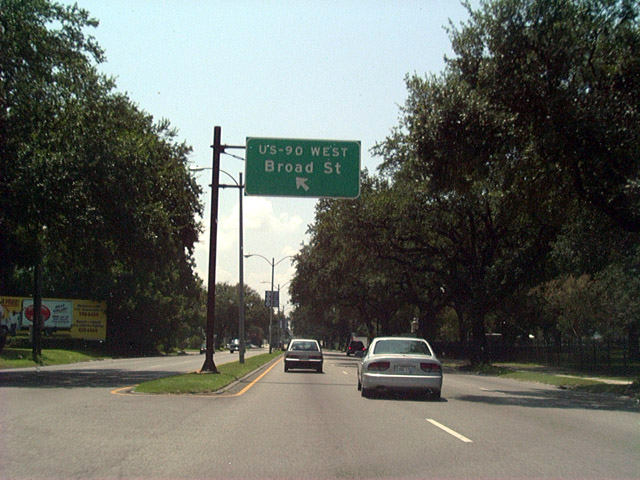
| A text-overhead prepares westbound motorists along Gentilly Boulevard for the U.S. 90 split for New Orleans Street southbound to Broad Street. Broad Street is the route U.S. 90 follows from Interstate 610 southwest to Tulane Avenue (U.S. 61). 08/02/02 |
|
| U.S. 90 westbound turns onto New Orleans Street from Gentilly Boulevard at this intersection. Four blocks to the south, U.S. 90 resumes a westwardly direction along Broad Street.
Replacement mast-arm signal assemblies posted did not retain the U.S. 90 shield assembly pictured here. 08/02/02 |
|
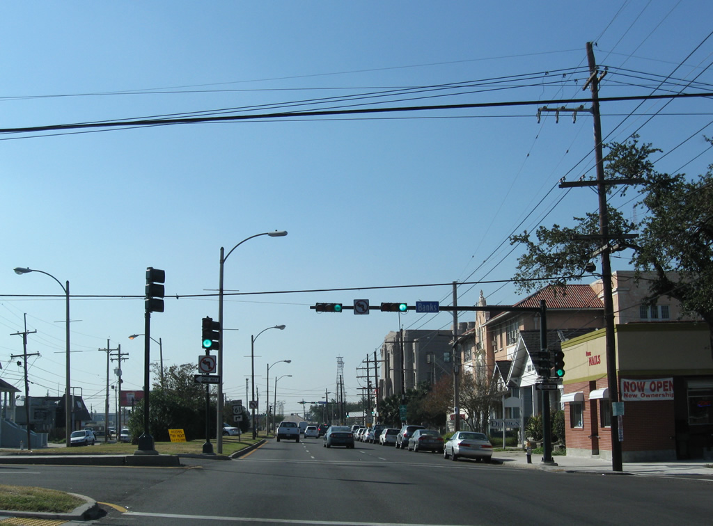
| U.S. 90 (Broad Avenue) enters the Tulane / Gravier neighborhood beyond Bienville Avenue. This scene looks at the signalized intersection with Banks Street. 11/20/08 |
|
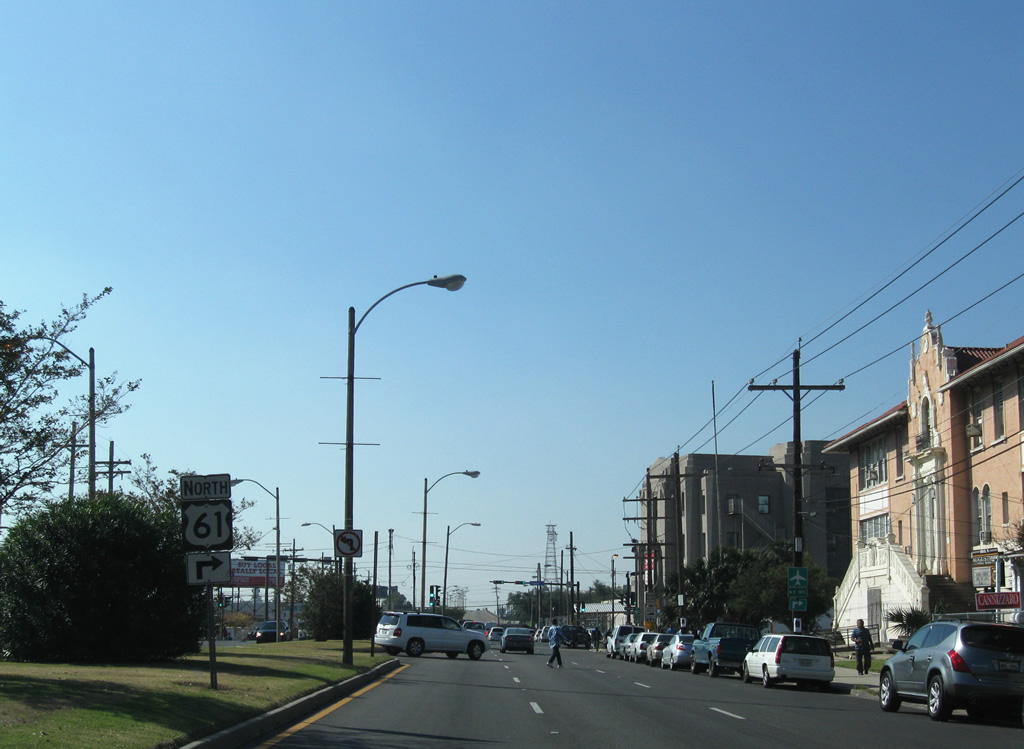
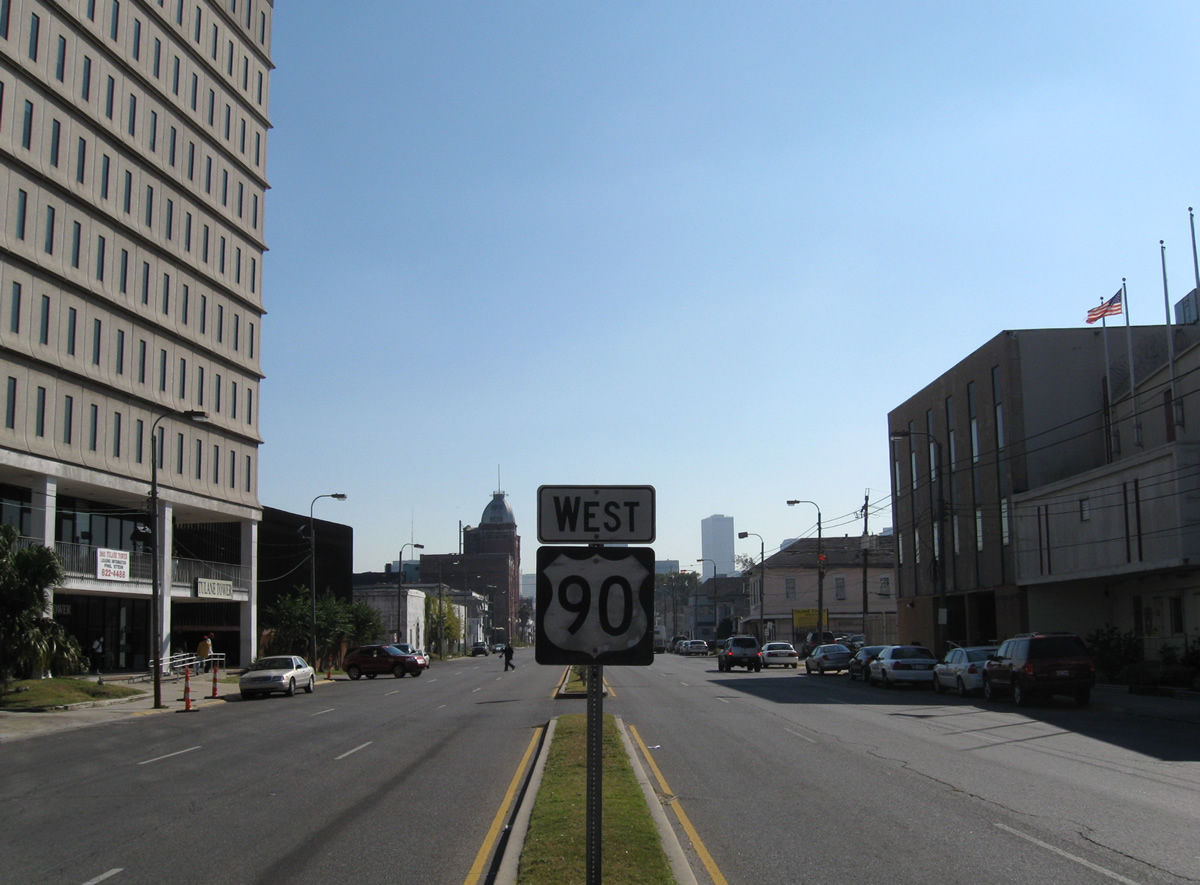
| U.S. 90 west turns left onto Tulane Avenue from Broad Street toward Downtown.
U.S. 61 begins and follows Tulane Avenue northwest through Mid City to Airline Drive at Interstate 10 and Jefferson Parish. The route continues west along Airline Highway to Kenner, St. Charles Parish and Baton Rouge.
Prior to sometime in the 1960s, U.S. 90 followed Canal Street southeast from Broad Avenue to Downtown. The Broad Avenue / Canal Street intersection was also the original terminus for U.S. 61. 11/20/08 |
|
| There are no signs posted at the intersection of Broad and Tulane Avenues for either U.S. 61 north or the U.S. 90 westbound turn toward Downtown. Broad Avenue continues west otherwise to a trumpet interchange with Poydras Street and the Broadmoor neighborhood. 11/20/08 |
|
| U.S. 90 reassurance marker posted within the median of Tulane Avenue between U.S. 61 and Dorgenois Street. 11/20/08 |
|
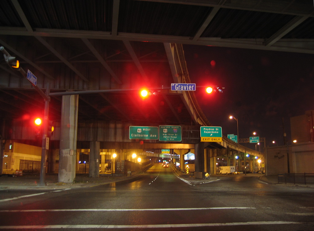
| U.S. 90 travels underneath the Interstate 10 viaduct along Claiborne Avenue between Tulane Avenue and Gravier Street. The US route emerges onto a viaduct of its own through the stack interchange between Interstate 10 and U.S. 90 Business (Pontchartrain Expressway). Claiborne Avenue continues as a service road below to the Poydras Street and the Superdome. 10/22/03 |
|
| Following Claiborne Avenue to Poydras Street below the U.S. 90 viaduct. 11/20/08 |
|
| An on-ramp follows the Claiborne Avenue intersection with Poydras Street onto the elevated lanes of U.S. 90 west. 11/20/08 |
|
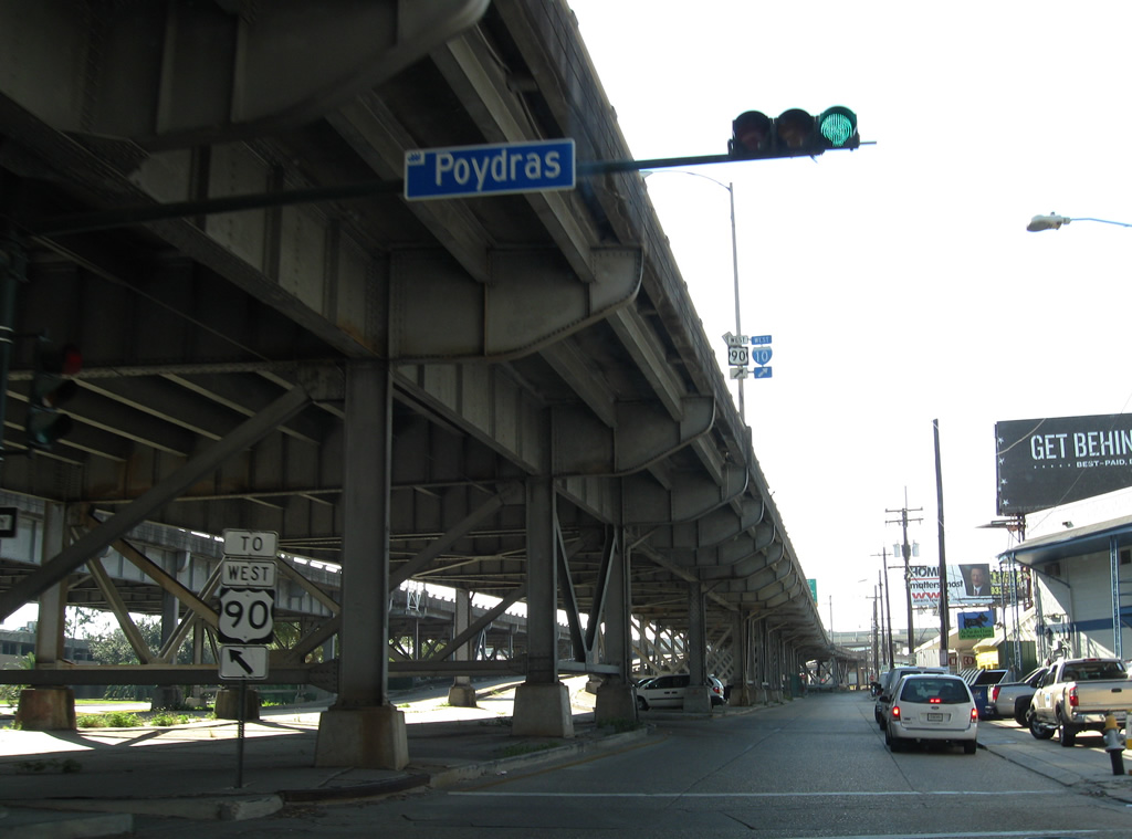
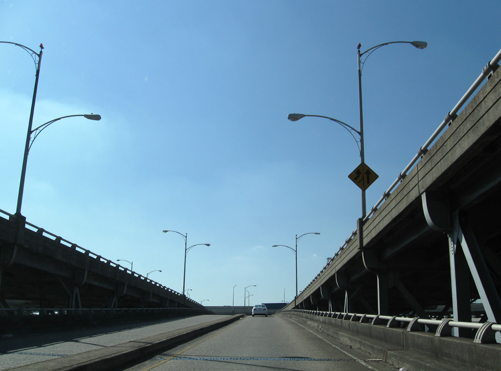
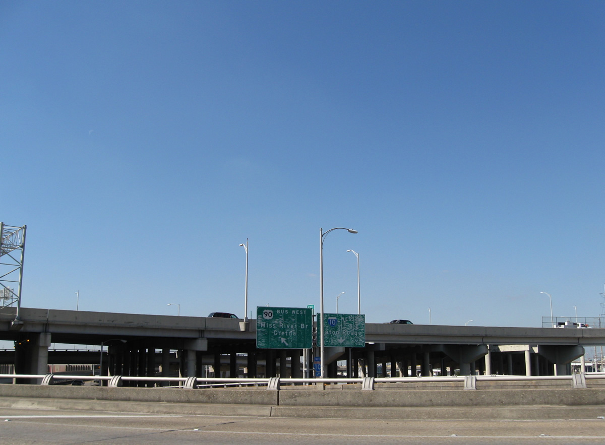
| Ramps connect the U.S. 90 viaduct above Clairborne Avenue with U.S. 90 Business west onto Interstate 10 west and the Pontchartrain Expressway south to the Crescent City Connection bridge to Algiers. 11/20/08 |
|
| U.S. 90 continues along the viaduct above Howard Avenue and Earhart Boulevard before touching down ahead of Martin Luther King, Jr. Boulevard. 11/20/08 |
|
| U.S. 90 resumes along Claiborne Avenue southwest to Central City from Martin Luther King, Jr. Boulevard. MLK Boulevard ventures south to St. Charles Avenue and north to Broad Avenue. 11/20/08 |
Page Updated 10-17-2016.


 West
West