|
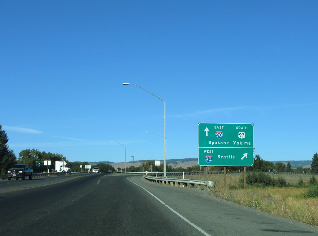
| U.S. 97 turns west at Dolarway Road and University Way in Ellensburg to make its final approach to Interstate 90 (Exit 106). A trumpet interchange joins the two highways on the outskirts of the city, with Interstate 90 continuing west across the Cascade Range into Seattle. 08/31/06 |
|
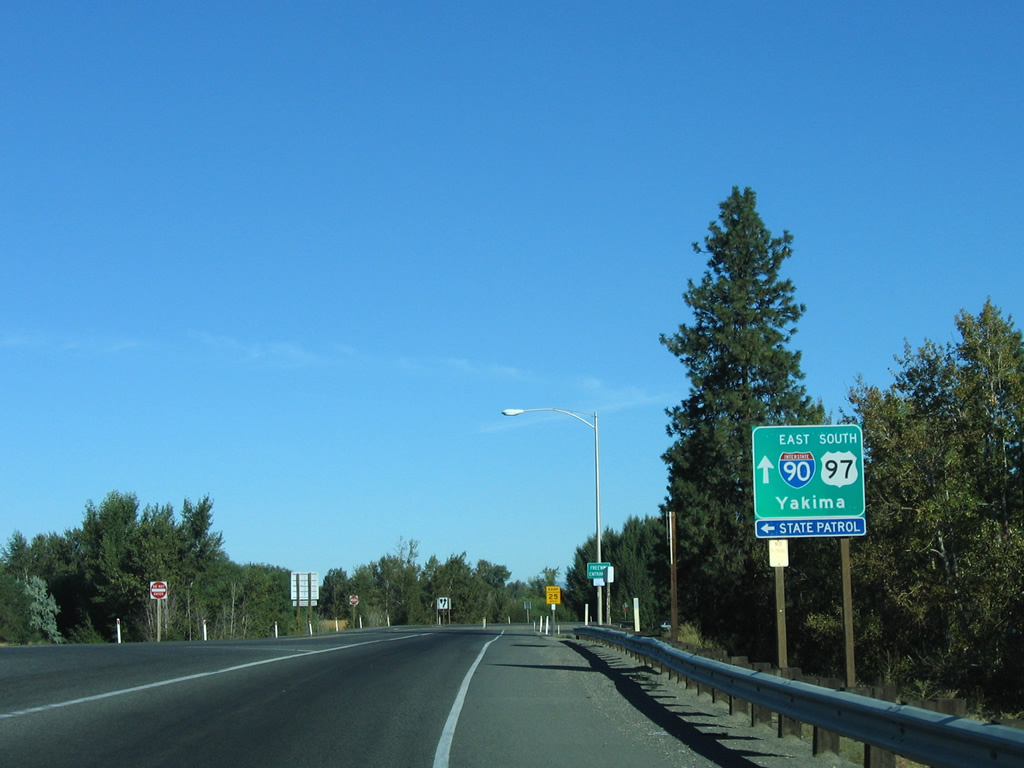
| Drivers prepare to loop onto Interstate 90 east for a 4.81 mile overlap with U.S. 97 to Interstate 82 east. Thorp Highway loops west from Exit 106 of Interstate 90, across the Yakima River, to Exit 101 near Thorp. 08/31/06 |
|
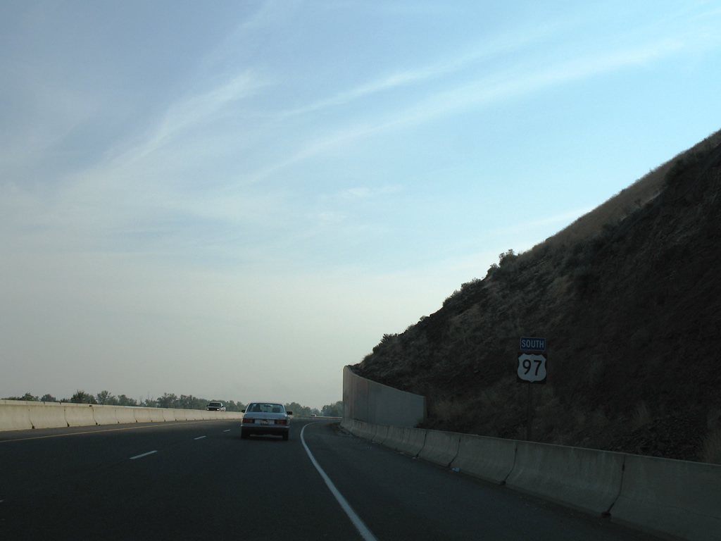
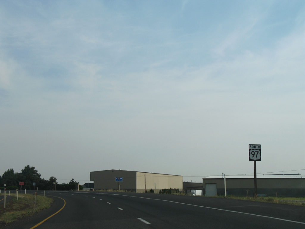
| The first reassurance shield posted for U.S. 97 after the route splits with Interstate 82 at Union Gap. Main Street (former U.S. 97) merges with the four lane divided highway after their respective crossings over Ahtanum Creek. 08/28/06 |
|
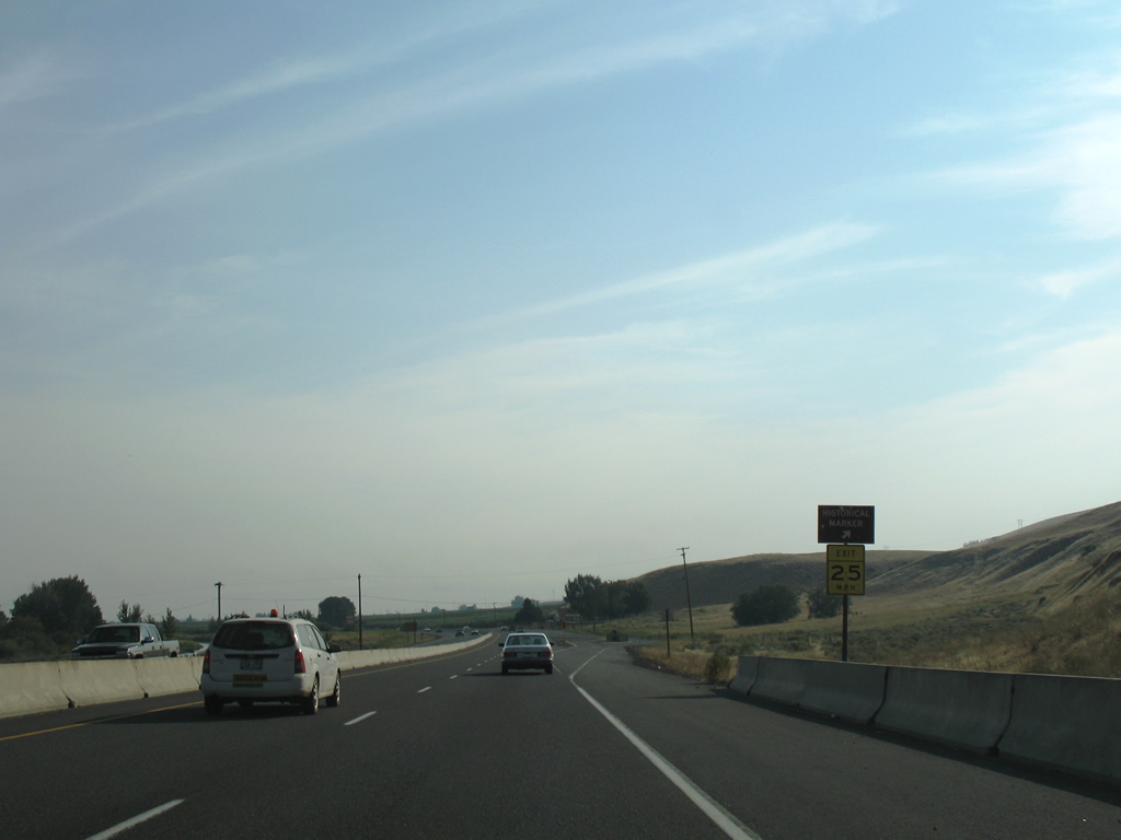
| A historical marker lies along the southbound side of U.S. 97 as the highway leaves Union Gap. 08/28/06 |
|
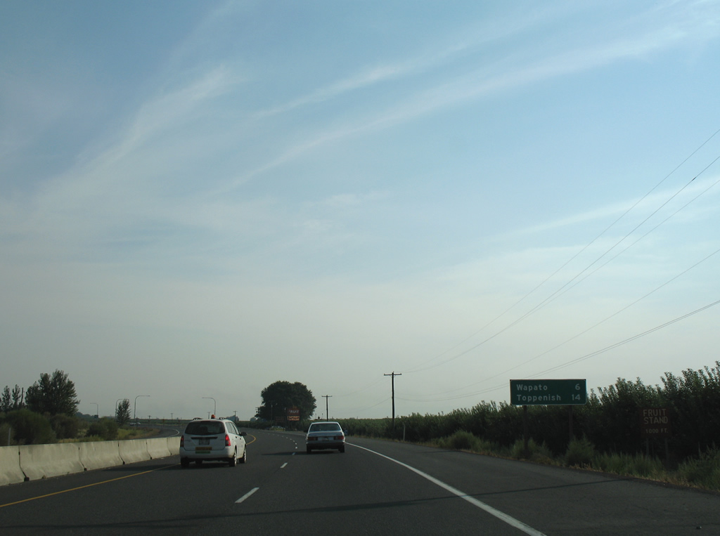
| U.S. 97 constitutes a four lane divided highway southeast 6 miles to Wapato and 14 miles to Toppenish. 08/28/06 |
|
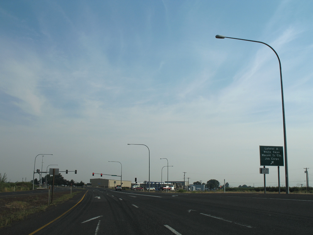
| Lateral A Road leads south from U.S. 97 as part of the road grid of Yakama Indian Reservation. Connections with east-west roads lead motorists to Fort Simcoe State Park, White Swan and Harrah. 08/28/06 |
|
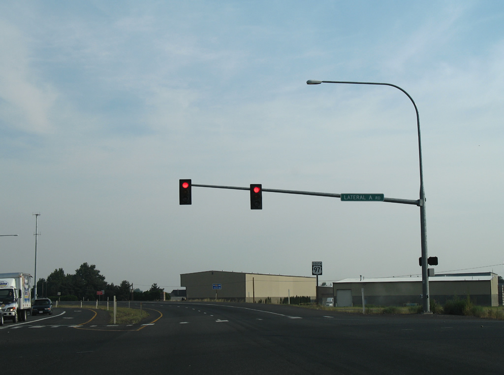
| A traffic light operates at U.S. 97 and Lateral A Road. 08/28/06 |
|
| Reassurance sign for U.S. 97 south after Lateral A Road. A concrete barrier separates the four lane highway at the crossing of Wapato Irrigation Canal. 08/28/06 |
|
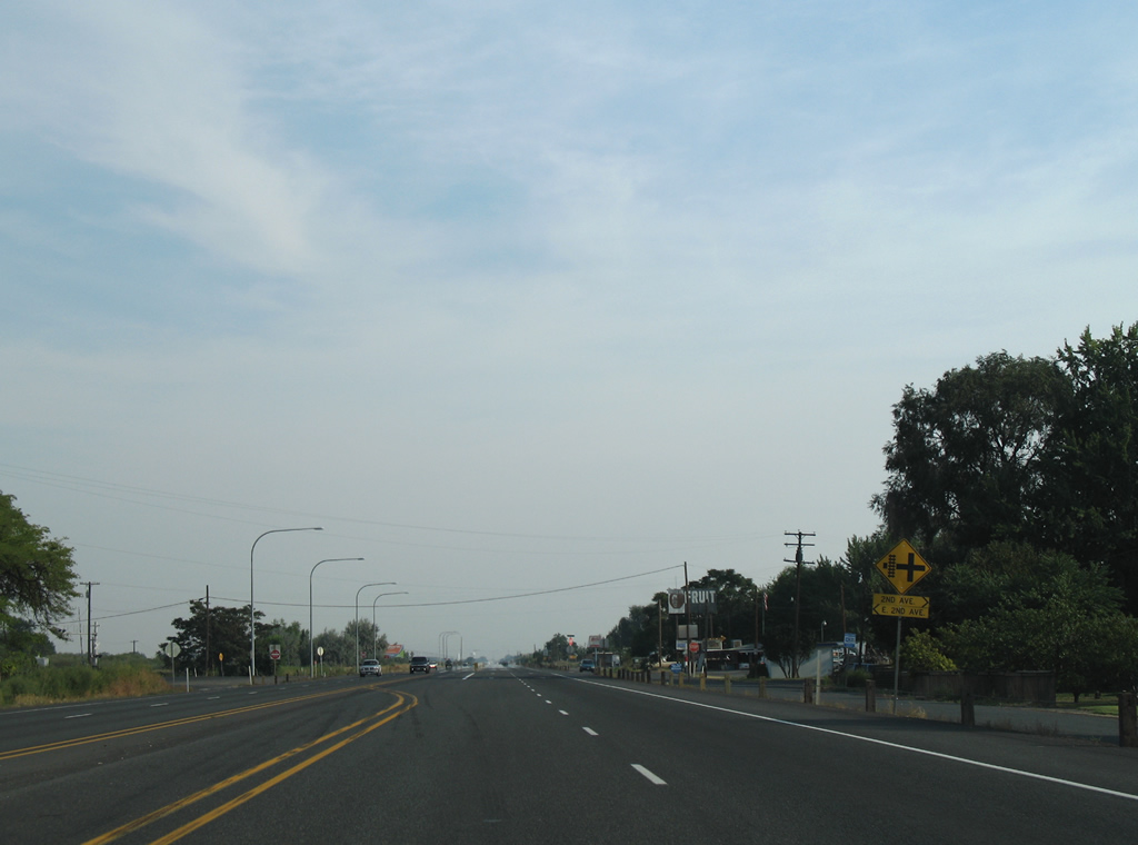
| Openings in the barrier median occur along U.S. 97 at cross roads such as the one with 2nd Avenue pictured here. 2nd Avenue east provides a circuitous route to Yakima Valley Highway (former U.S. 410 and U.S. 12) near I-82/U.S. 12 at Exit 40. 08/28/06 |
Page Updated 10-26-2011.