|
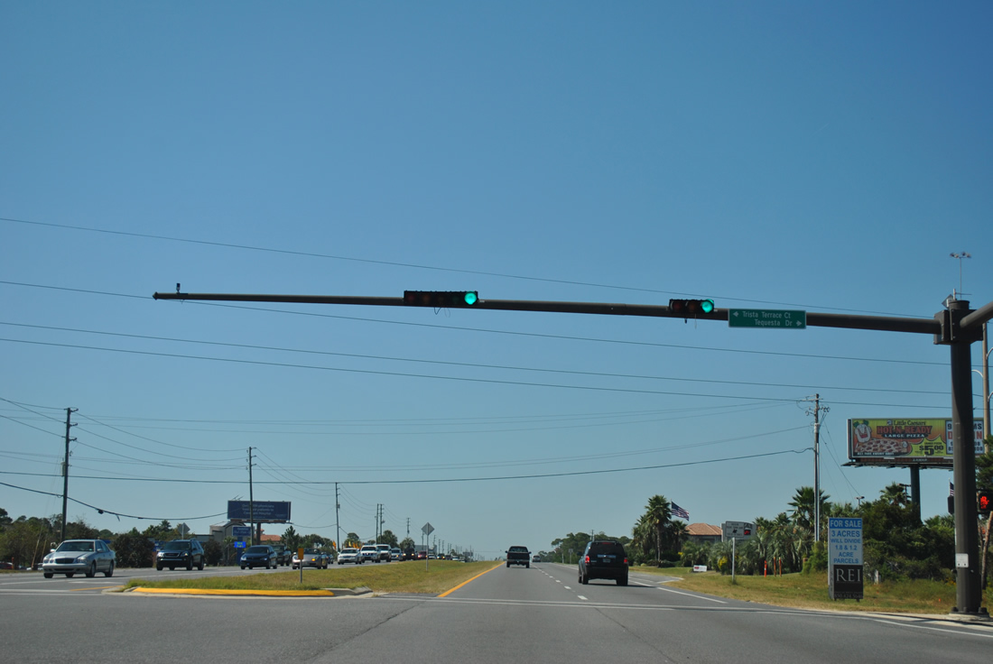
| Eastern areas of Destin continue the golf course-subdivision theme of area residences with the first traffic light at Tequesta Drive north and Trista Terrace Court south. 10/17/11 |
|
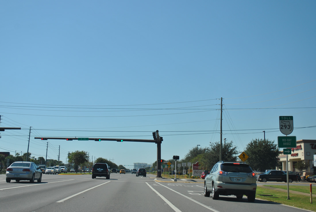
| Regatta Bay Boulevard winds northward from U.S. 98 to SR 293 near the Mid-Bay Bridge and south to a residential street grid at Dolphin Street and Luke Avenue. 04/14/09 |
|
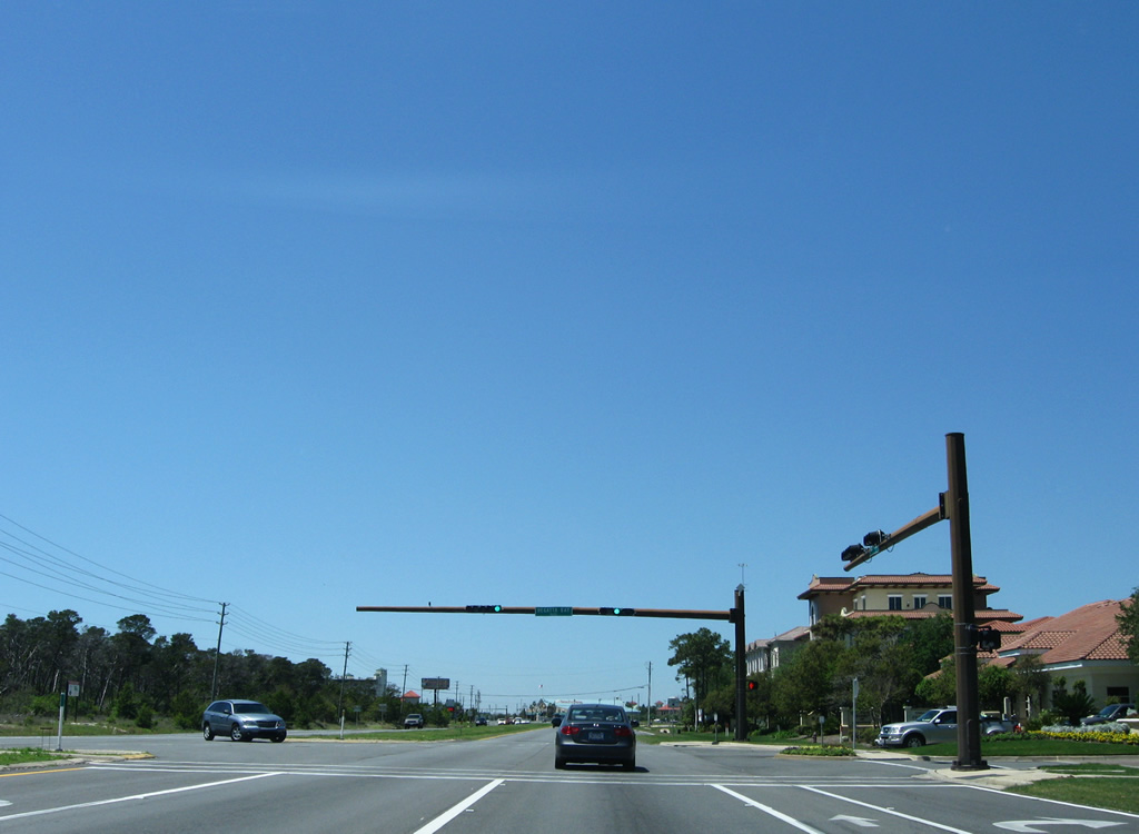
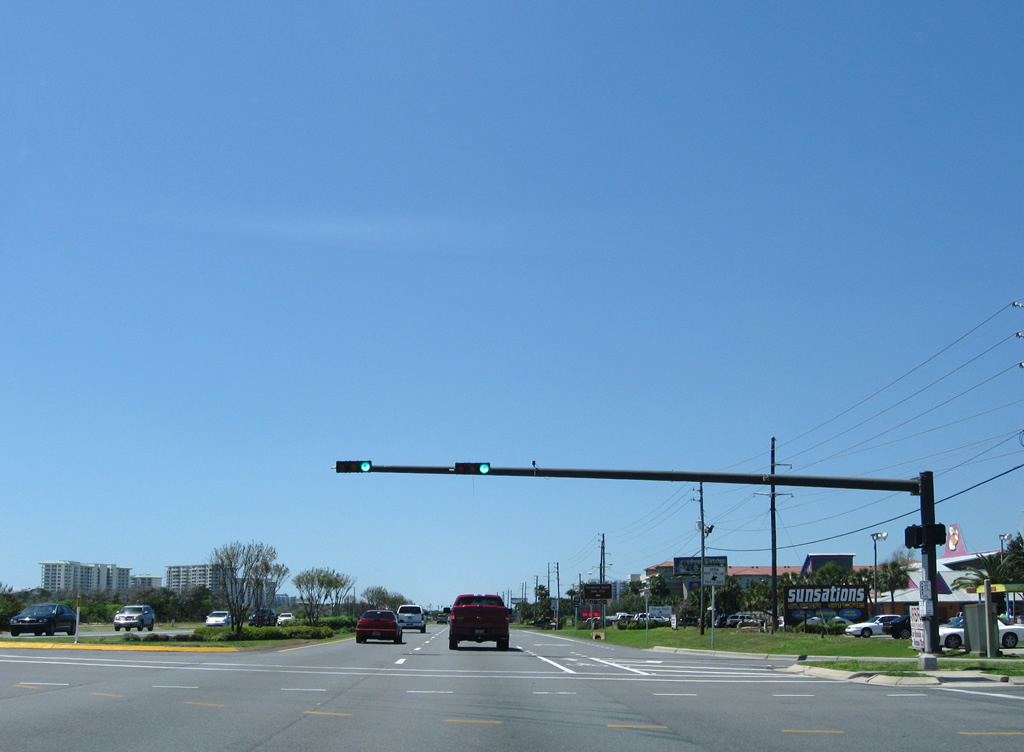
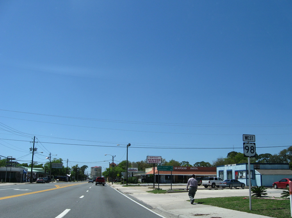
| Legendary Drive travels west from Regatta Bay Boulevard as a service road for the Destin Commons retail area. A connector ties the road with U.S. 98 before it circles northwest to SR 293 (Danny Wuerffel Way). Crystal Beach Road otherwise leads south from the signalized intersection with Emerald Coast Parkway to CR 2378. 10/17/11 |
|
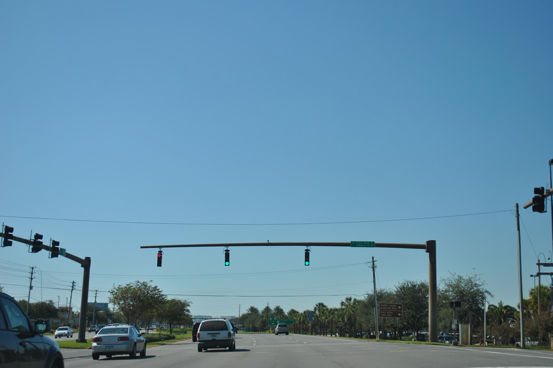
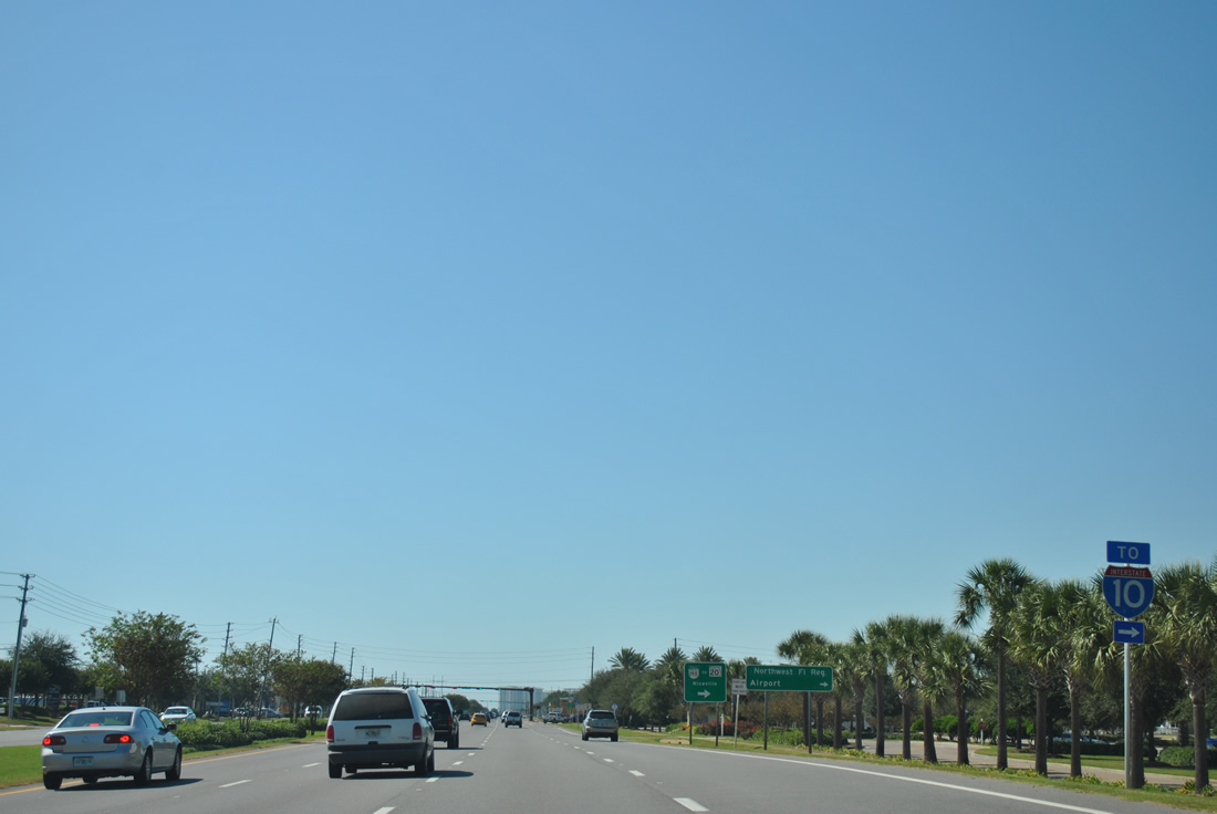
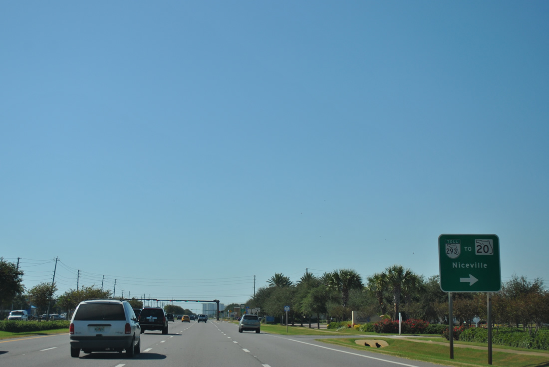
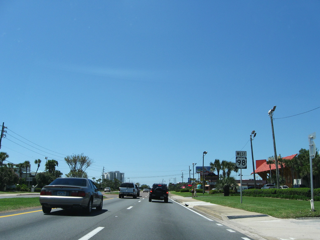
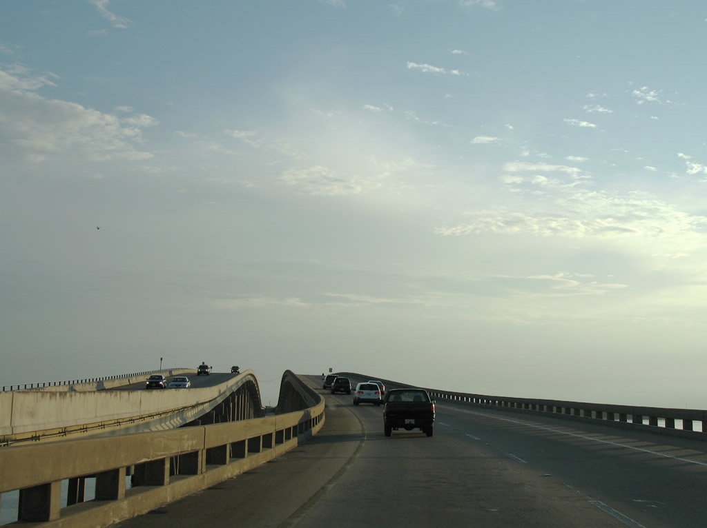
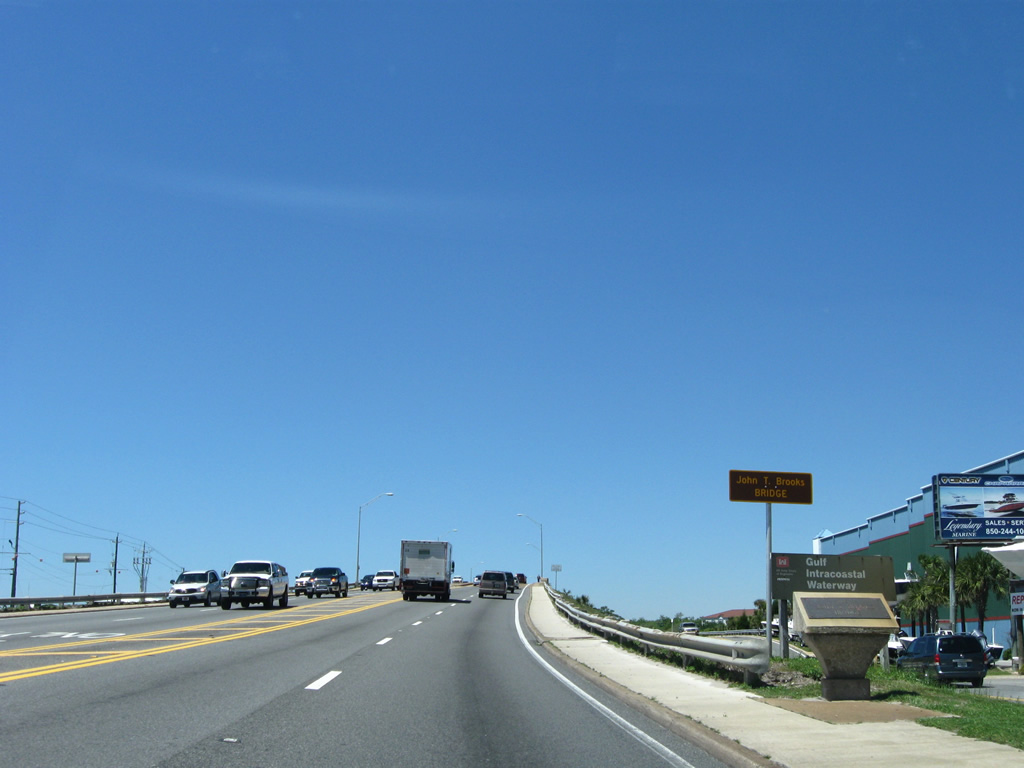
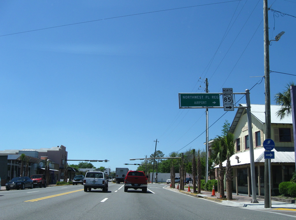
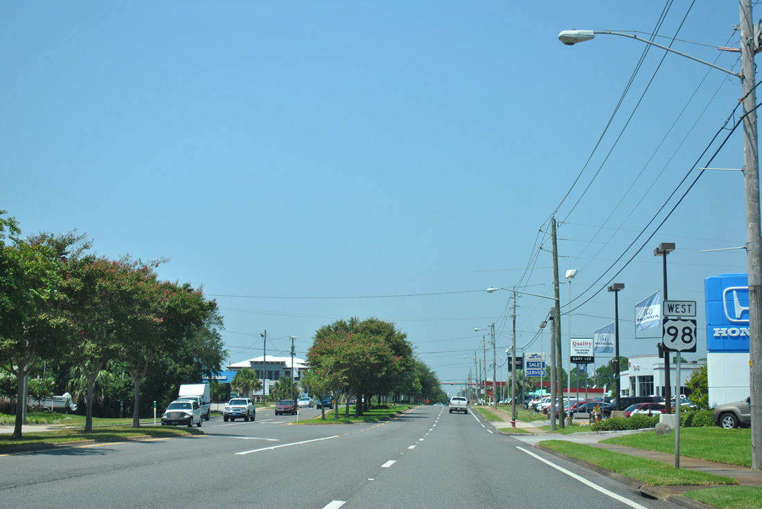
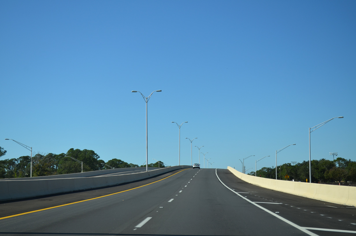
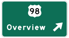
| Nearing the northbound beginning of SR 293 (Danny Wuerffel Way) on U.S. 98 (Emerald Coast Parkway) west. SR 293, in conjunction with SR 285, SR 85, or U.S. 331, provides a route to Interstate 10.
The sign pictured here is a replacement of a panel posted in 2006. 10/17/11 |
|
| The Mid-Bay Bridge connects with SR 20 at Bluewater Bay and Seminole east of Niceville. Opened in June 1993, the span is one of two crossings over the Choctawhatchee Bay between U.S. 98 and SR 20. 10/17/11 |
|
| The Mid-Bay Bridge Connector extends SR 293 northwest around the city of Niceville, providing a high-speed route to both SR 285 and SR 85 north. Opened north to a SPUI with SR 20 on May 12, 2011, the toll road was finished on January 4, 2014. 10/17/11 |
|
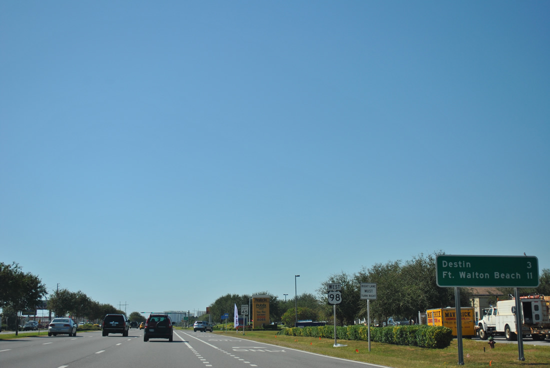
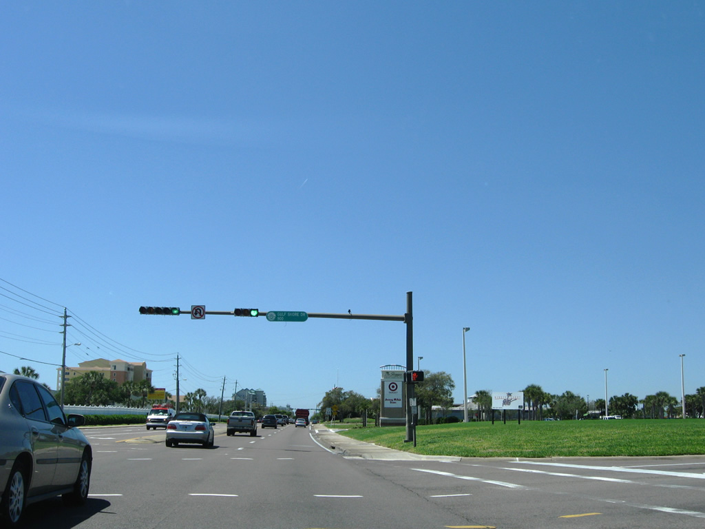
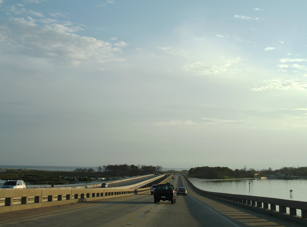
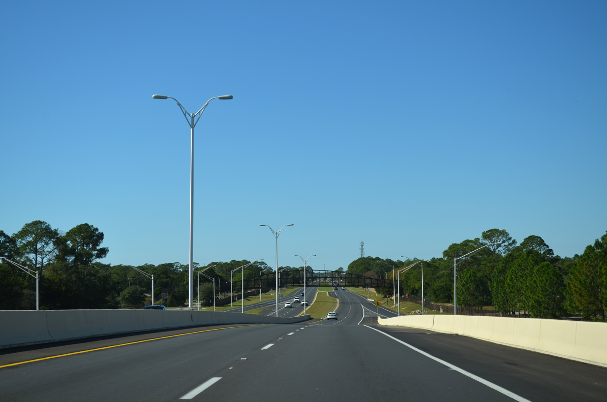
| Continuing west along Emerald Coast Parkway, U.S. 98 is technically in Destin already, but the city center lies another three miles ahead. A sign replacement of the westbound distance sign continues to reflect the three mile distance although U.S. 98 exists wholly within the municipality from Walton County to East Pass. 10/17/11 |
|
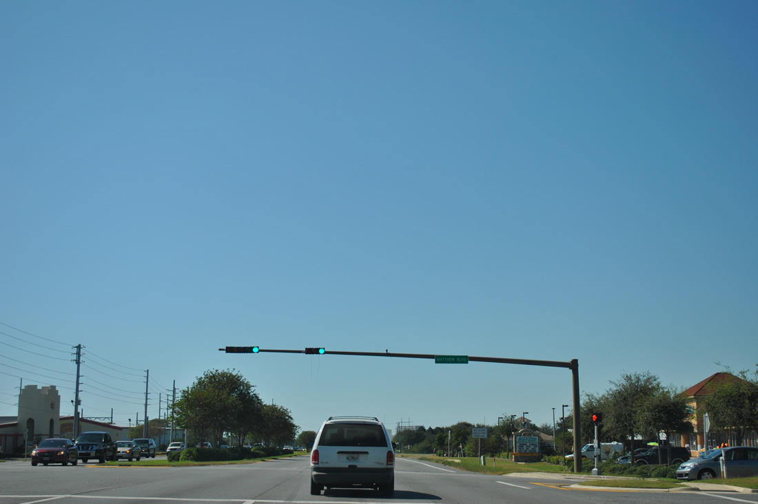
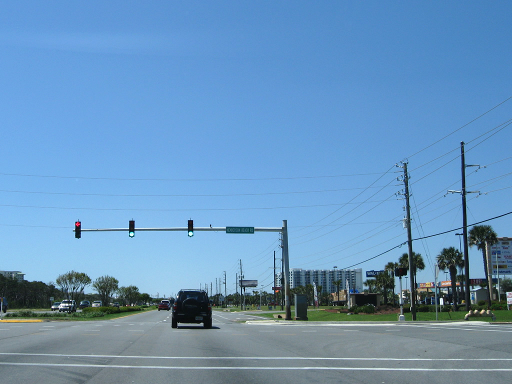
| Matthew Boulevard travels south from U.S. 98 (Emerald Coast Parkway) to CR 2378 (Scenic U.S. Highway 98) east along Crystal Shores. 10/17/11 |
|
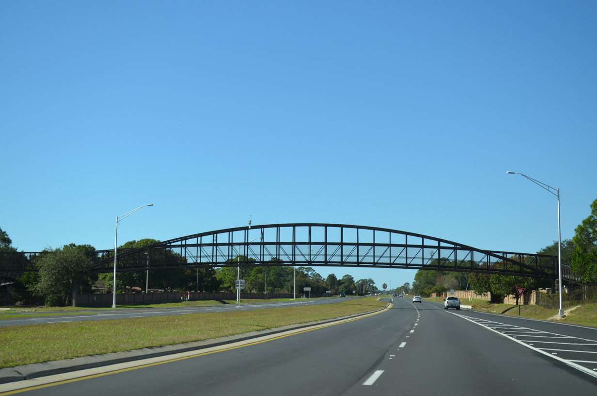
| Commons Drive comprises a service road west from SR 293 Toll to Airport Road on the back side of the commercial strip of U.S. 98 by Henderson Beach State Park. A signalized intersection joins the access road to an adjacent roundabout with Commons Drive in this scene. 04/14/09 |
|
| Henderson Beach Road leads south from Commons Drive West into Henderson Beach State park. This is the only access road to the park land from U.S. 98. 04/14/09 |
|
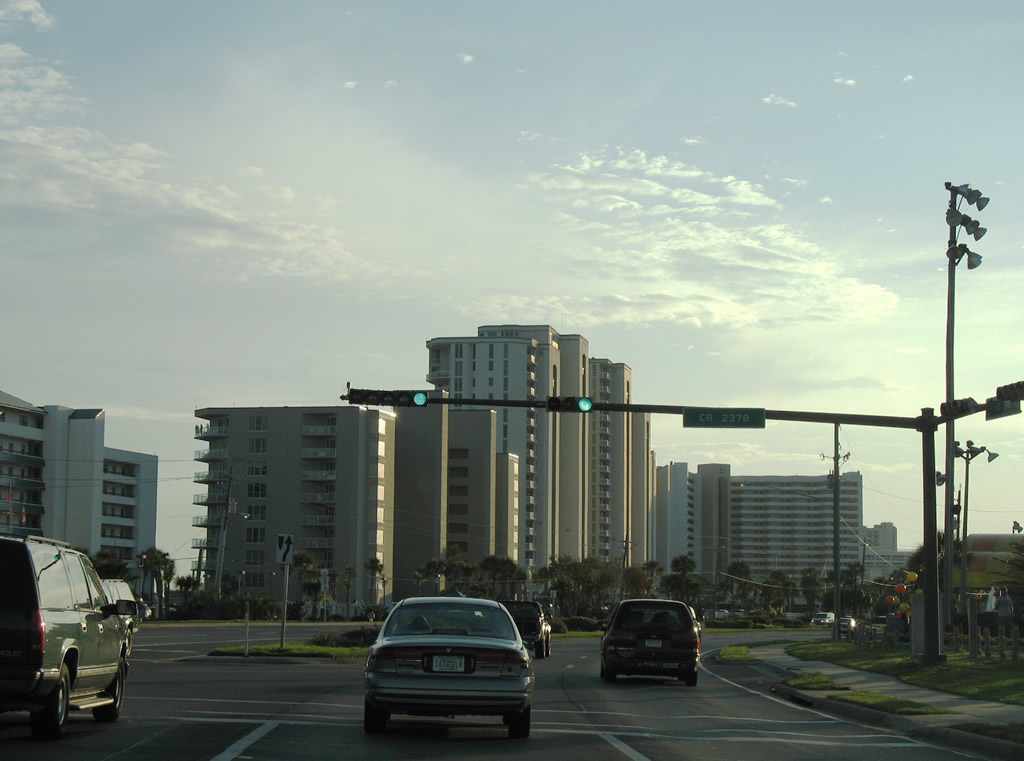
| A 0.24 mile segment of CR 2378 joins U.S. 98 (Emerald Coast Parkway) with public beach access at June White Decker Park. This stretch of roadway is also named Scenic U.S. Highway 98 like the eastern branch of County Road 2378. 07/31/06 |
|
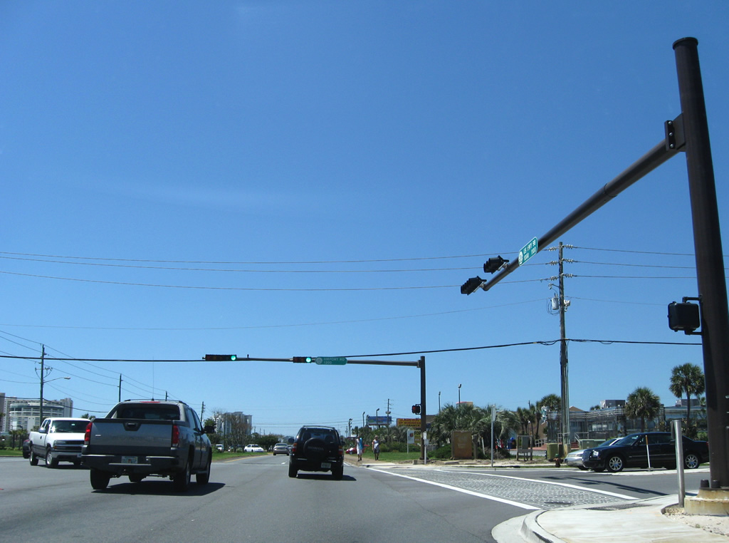
| Airport Road loops northwest from U.S. 98 to Destin Airport (DTS) as unsigned CR 30F. CR 30F ends 1.64 miles to the west at Main Street and Legion Drive. 04/14/09 |
|
| Westbound reassurance shield posted for U.S. 98 after Airport Road. The arterial narrows to four lanes. 04/14/09 |
|
| Gulf Shore Drive spurs west from U.S. 98 (Emerald Coast Parkway) onto a developed peninsula surrounded by Old Pass Lagoon, East Pass, and the Gulf of Mexico. 04/14/09 |
|
| Main Street (former County Road 30A) leads north from U.S. 98 to Coleman's Lake and Indian trail near Cobbs Point on Choctawhatchee Bay. 04/14/09 |
|
| Harbor Boulevard carries four lanes of U.S. 98 west toward the older business district of Destin. 04/14/09 |
|
| Beach Drive follows as northbound feeder road to Joe's Bayou and 4th Street. CR 30A once followed the road from Kelly Street onto Calhoun Avenue. 04/14/09 |
|
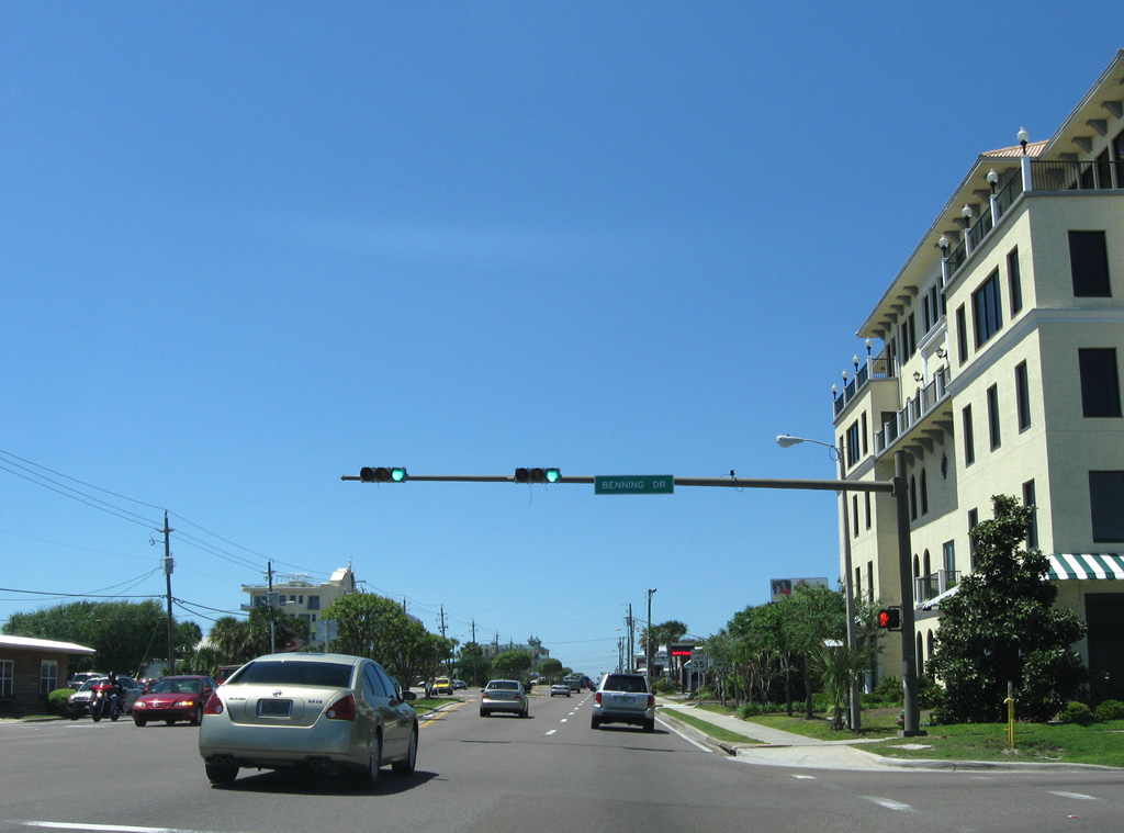
| Benning Drive meets U.S. 98 at the next signal. The former County Road 30B parallels Beach Drive north to 4th Street and Calhoun Avenue. 04/14/09 |
|
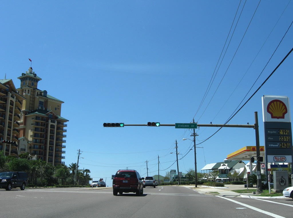
| Stahlman Avenue provides the main route into residential areas of northwest Destin from U.S. 98 (Harbor Boulevard). 04/14/09 |
|
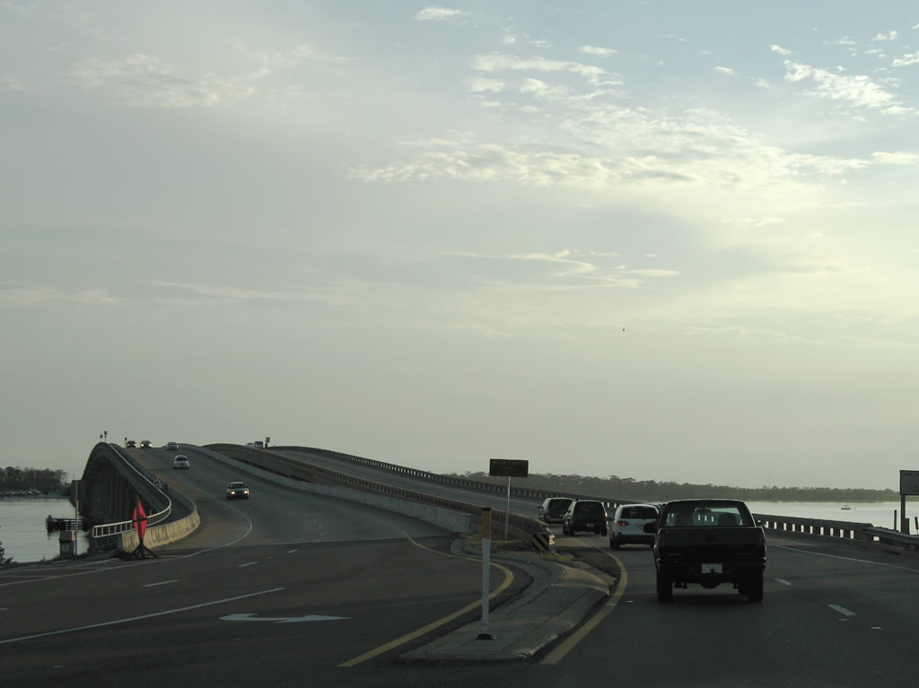
| Leaving Destin, U.S. 98 spans the East Pass between the Choctawhatchee Bay and the Gulf of Mexico. A pair of two lane fixed-spans, opening in 1971 and 1979 respectively, carry the highway onto Okaloosa Island. 07/31/06, 04/14/09 |
|
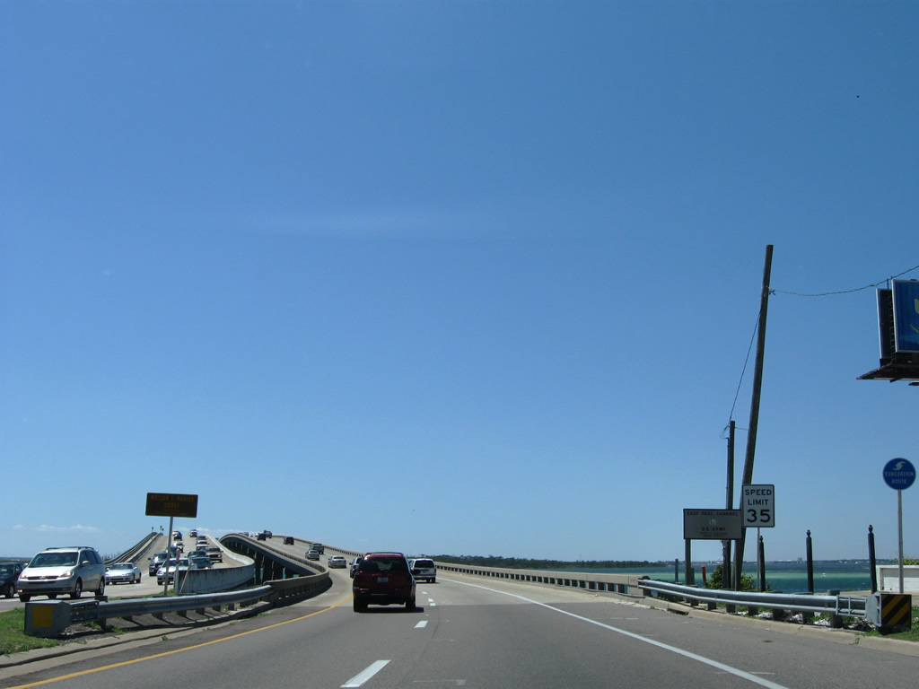
| Continuing across the Marler Bridge onto Okaloosa Island. Repair work was done on the bridge between fall 2008 and winter 2009 to address damage from collisions with boats and small fractures discovered in the eastbound bridge caps.1 07/31/06 |
|
| U.S. 98 enters a section of Eglin Air Force Base between the Marler Bridge and the Gulf Islands National Seashore Okaloosa Area. Waters from Choctawhatchee Bay lap close to the westbound lanes as the route approaches Ft. Walton Beach. 07/31/06, 04/14/09 |
|
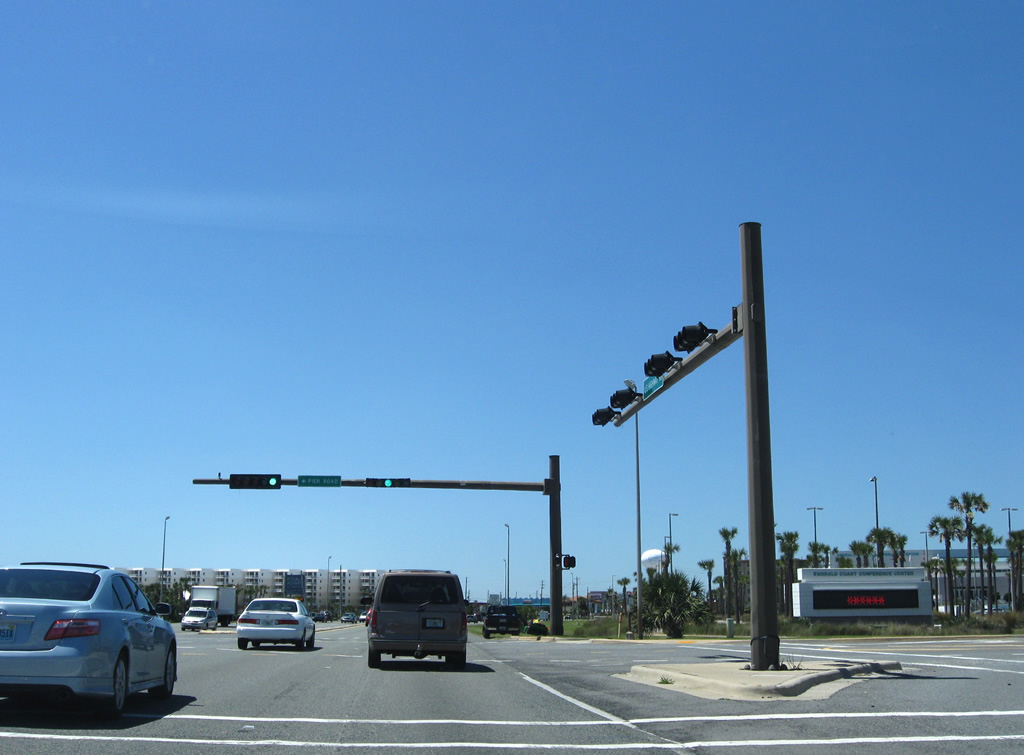
| Westbound U.S. 98 (Miracle Strip Parkway) at Pier Road. Pier Road connects the four lane highway with Okaloosa Island Fishing Pier. 04/14/09 |
|
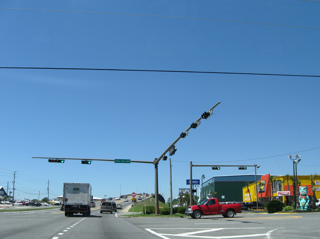
| Santa Rosa Boulevard stems west to a series of condominium high rises lining the Gulf of Mexico and Santa Rosa Sound. Eastward the road spurs into Marler County Park. 04/14/09 |
|
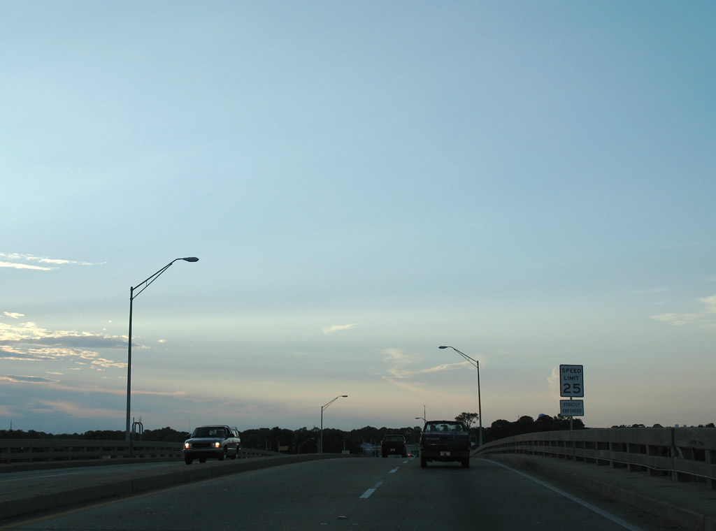
| A frontage road loops northward from Santa Rosa Boulevard underneath U.S. 98 to the Brooks Bridge Marina. U.S. 98 meanwhile spans Santa Rosa Sound via the John T. Brooks Bridge. Miracle Strip Parkway enters Ft. Walton Beach on the north side of the bridge and immediately slows to a 25 mph speed limit. 04/14/09, 07/31/06 |
|
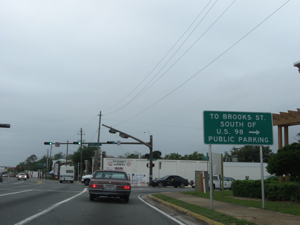
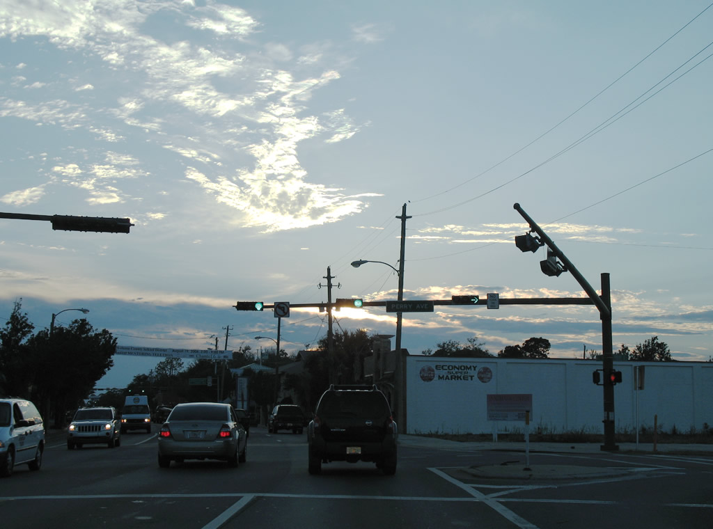
| U.S. 98 (Miracle Strip Parkway) curves westward and intersects Perry Avenue (SR 145). SR 145 entails all 0.51 miles of Perry Avenue between Miracle Strip Parkway and SR 85 (Eglin Parkway). Brooks Street parallels U.S. 98 one block to the south and passes under the Brooks Bridge. 04/19/09 |
|
| Perry Avenue connects the east side of U.S. 98 with Brooks Street to the south, but left turns are prohibited from U.S. 98 west. SR 145 otherwise constitutes an alternate route to SR 85 north through the Downtown area. 07/31/06 |
|
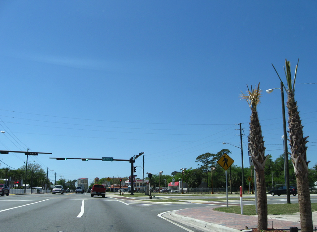
| SR 85 (Florida Place) heads north from U.S. 98 (Miracle Strip Parkway) through downtown to Cinco Bayou and Shalimar. The state road comprises the main route between the Okaloosa coast line and Crestview. 04/14/09 |
|
| SR 85 (Eglin Parkway) ends at a wye intersection, with separate branches joining U.S. 98 west and east. The west branch ties into U.S. 98 at Brooks Street. Pictured here was the original configuration where access to SR 85 north from U.S. 98 east did not involve a protected turn. 2007 construction reconfigured the intersection so that it ties in with Brooks Street. 07/31/06, 04/14/09 |
|
| Westbound reassurance marker posted after Eglin Parkway (SR 85). The distance sign posted behind the shield is a replacement of the previous assembly from road work in 2007. 04/14/09 |
|
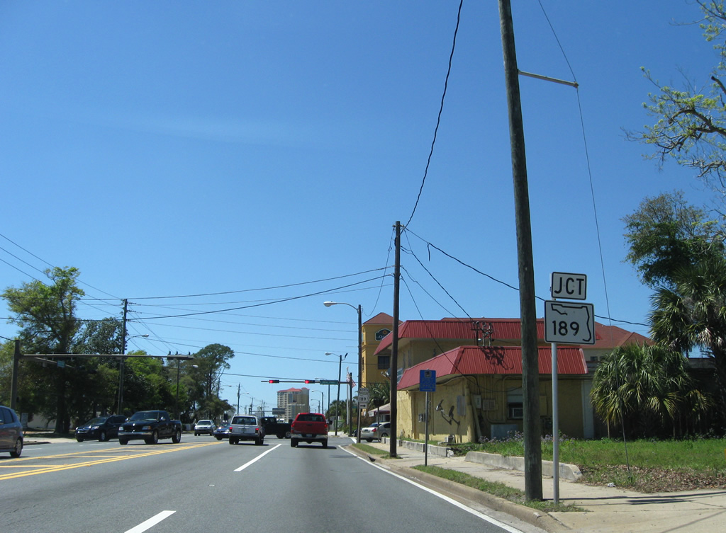
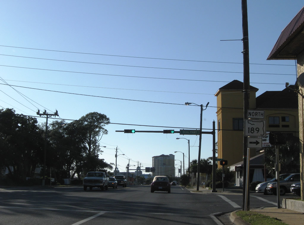
| Two blocks west of Eglin Parkway is the northbound beginning of SR 189 (Beal Parkway). SR 189 constitutes a four lane arterial northwest around Cinco Bayou to northern reaches of Ft. Walton Beach. 04/14/09 |
|
| U.S. 98 (Miracle Strip Parkway) westbound at SR 189 (Beal Parkway) north. SR 189 ends at the Eglin A.F.B. Air Armament Center, 10.53 miles to the northeast. 10/31/08 |
|
| A short distance west of the SR 189 (Beal Parkway) is Ft. Walton Beach City Hall and Civic Center. 08/23/11 |
|
| Westbound U.S. 98 shield posted after Cedar Avenue and the city government complex. 08/23/11 |
|
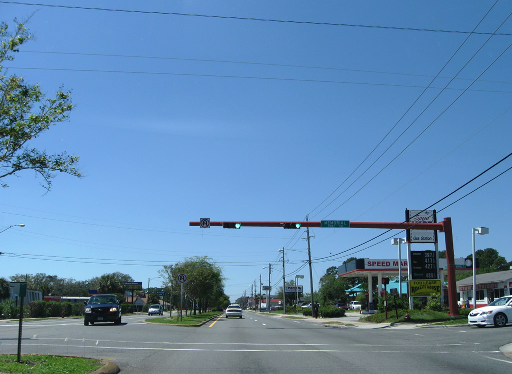
| Memorial Parkway connects U.S. 98 (Miracle Strip Parkway) with SR 188 (Beal Parkway) near Cinco Bayou. 04/14/09 |
|
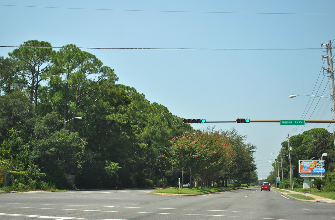
| Wright Parkway follows at the next traffic light from U.S. 98 north to SR 393 (Mary Esther Cutoff). There were talks of building a Santa Rosa Sound bridge between Wright Parkway and Santa Rosa Boulevard in the mid-2000s. 08/23/11 |
|
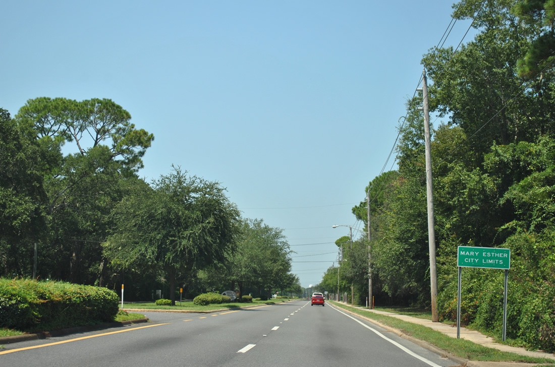
| Motorists along U.S. 98 westbound enter the city of Mary Esther just west of Wright Parkway. 08/23/11 |
|
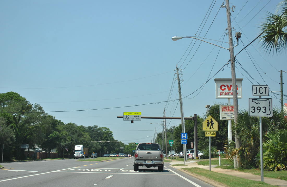
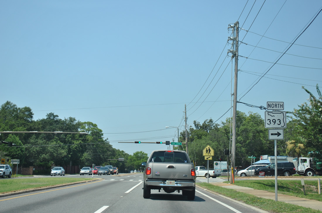
| SR 393 (Mary Esther Boulevard) ties into U.S. 98 within the city of Mary Esther. The commercial arterial links Miracle Strip Parkway with the Santa Rosa Mall and SR 189 (Beal Parkway). 08/23/11 |
|
| SR 393 heads 1.83 miles north to Beal Parkway. Originally known as Mary Esther Cutoff, the state road provides one of two connections to north Ft. Walton Beach across Cinco Bayou via connections with SR 189 north. 08/23/11 |
|
| Continuing west after the end of SR 393 (Mary Esther Boulevard) on U.S. 98 in Mary Esther. 11/02/08 |
|
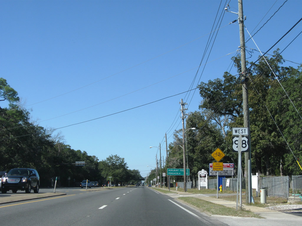
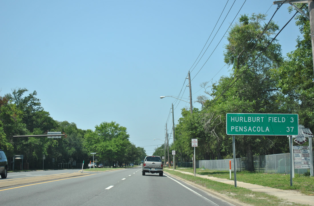
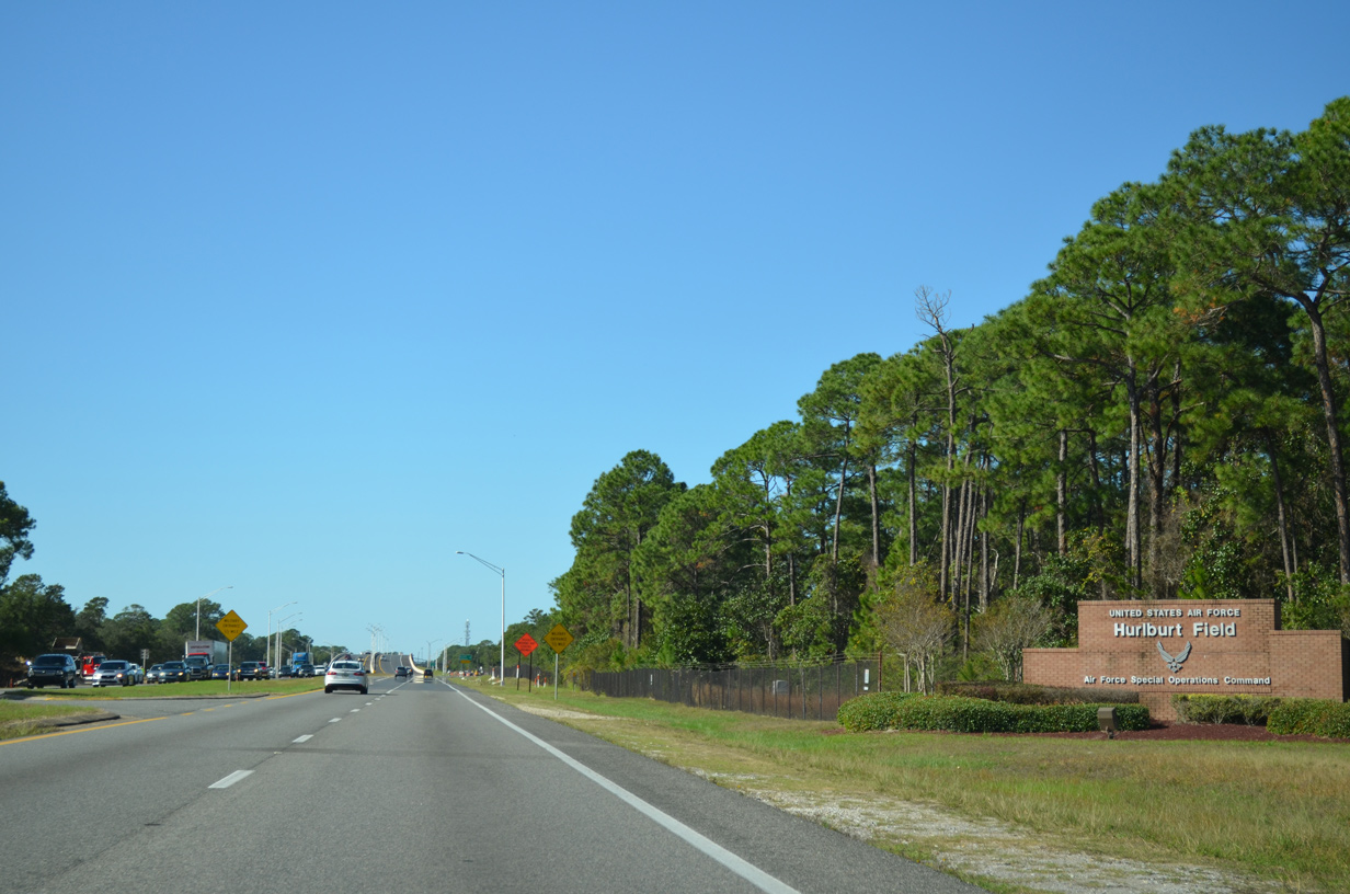
| Hurlburt Field, a portion of Eglin Air Force Base, lies three miles west on U.S. 98. Pensacola is the next major destination of the route. 08/23/11 |
|
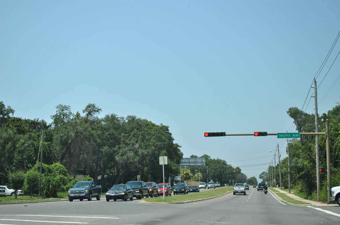
| Doolittle Boulevard joins U.S. 98 (Miracle Strip Parkway) with parallel Hollywood Boulevard one quarter mile to the north. Hollywood Boulevard and Hill Avenue provide a route north to Martin Luther King, Jr. Boulevard and the East gate of Hurlburt Field. 08/23/11 |
|
| U.S. 98 leaves the city of Mary Esther and enters the Hurlburt Field area. 11/19/15 |
|
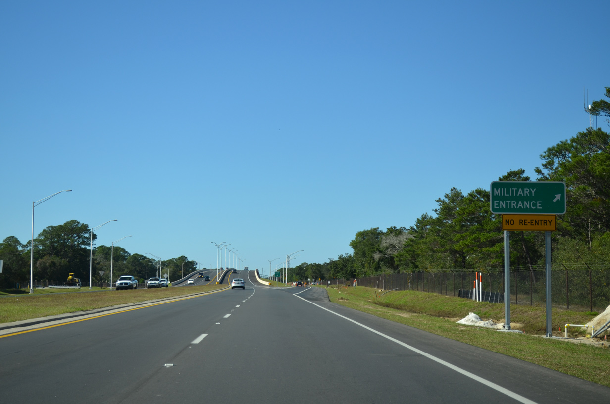
| Cody Avenue north provides access to the main gate of Hurlburt Field from U.S. 98 via a single point interchange. Champaign Street extends south from the exchange to the Southside Area of the base. 11/19/15 |
|
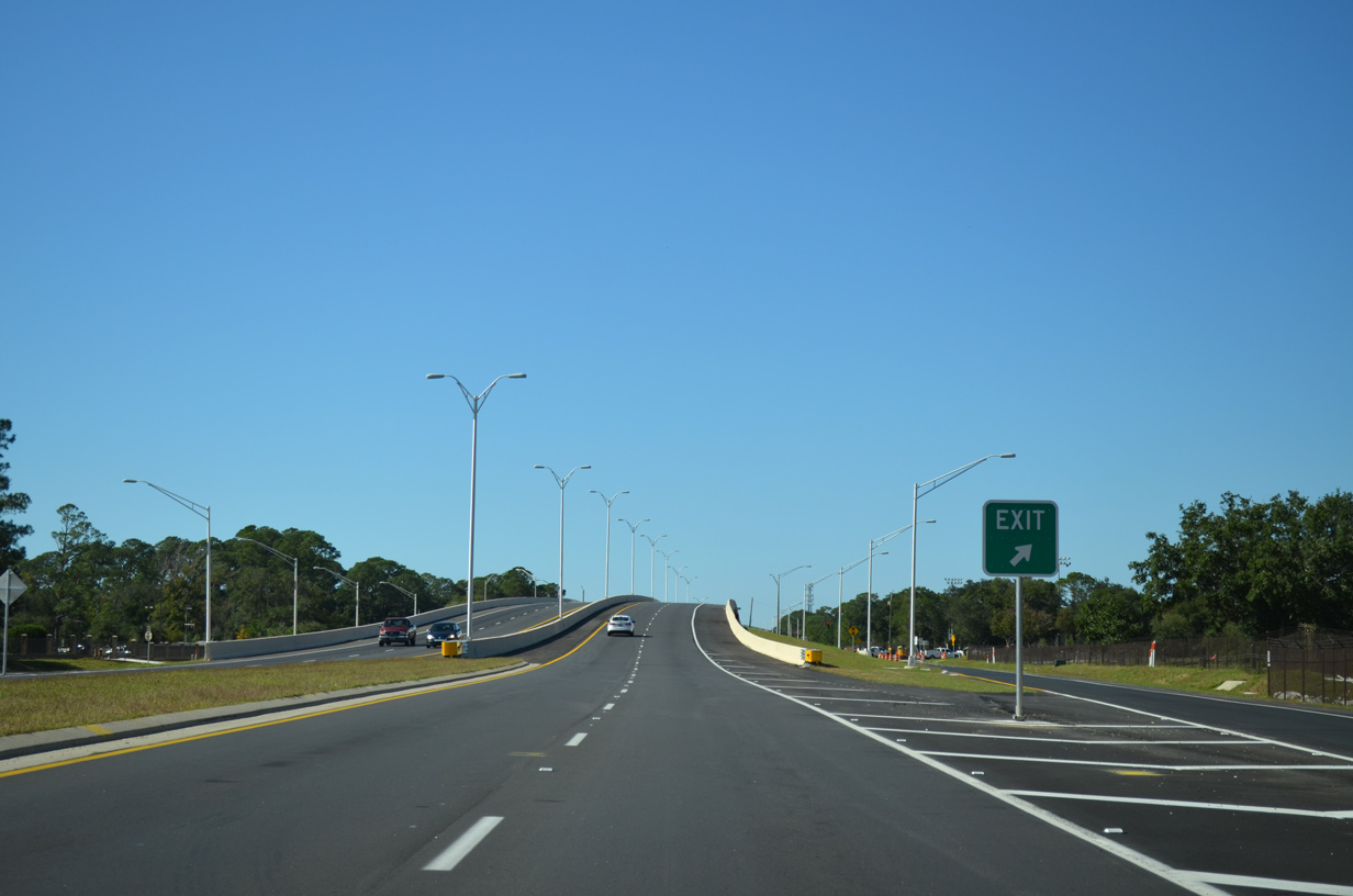
| The SPUI with Cody Avenue replaced what was a regularly congested intersection with U.S. 98. Constructed over the course of two years for $18 million, the new flyover and associated work wrapped up on November 2, 2015.2 11/19/15 |
|
| Westbound traffic shifted onto the flyover spanning Cody Avenue on July 18, 2015. The eastbound roadway opened to traffic on July 28, 2015.3 11/19/15 |
|
| U.S. 98 is designated Air Commando Boulevard as it travels through the military reservation west of Mary Esther. Spanning the four lane highway just west of Cody Avenue is the Hurlburt Field running path. 11/19/15 |
|
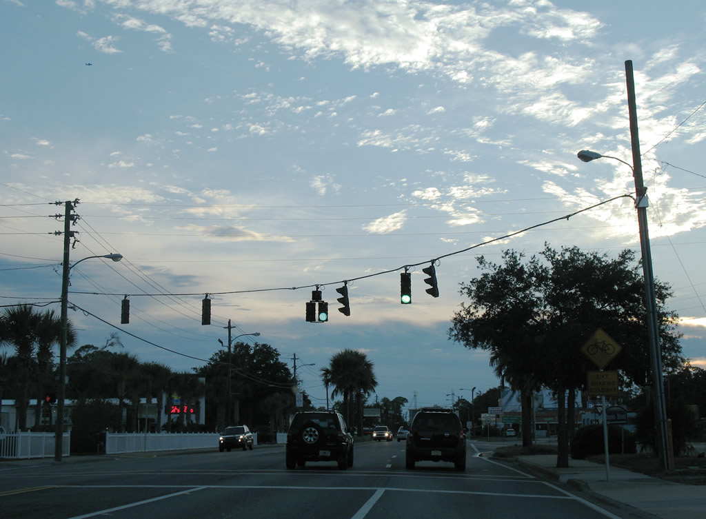
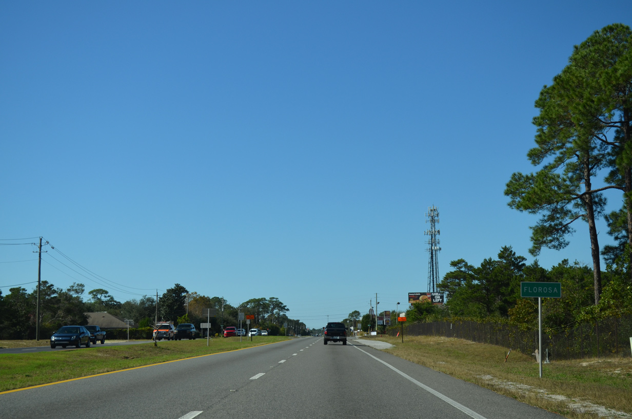
| Leaving Hurlburt Field, U.S. 98 enters the unincorporated area of Florosa. 11/19/15 |
|
| Three signals lie along U.S. 98 at Florosa. The first is is at Florosa Elementary School, a signal that is in operation only during school hours. The second is a set of emergency signals at Florosa Volunteer Fire Department Station Number 5. 11/19/15 |
|
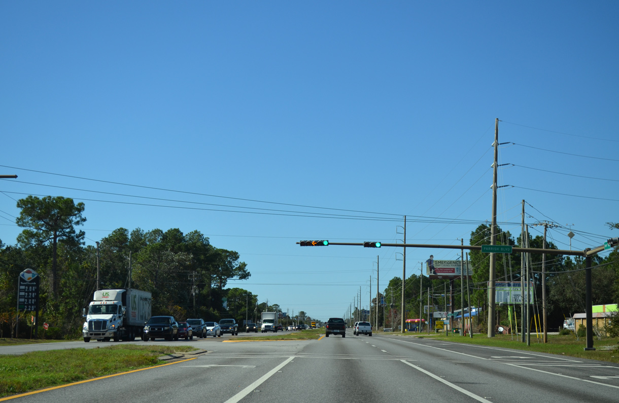
| Parish Boulevard arcs southwest from U.S. 98 (Miracle Strip Parkway) to the Parish Point community at the third traffic light in Florosa, and last of Okaloosa County. 11/19/15 |
|
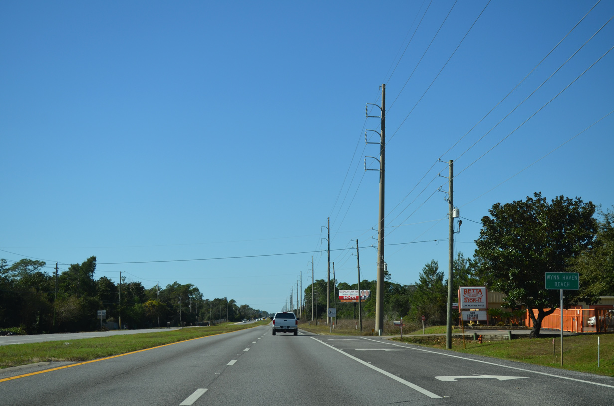
| Unincorporated Wynn Haven Beach occupies a wedge of lane between Eglin Air Force Base, Santa Rosa Sound at Upper Pritchard Long Point, and the county line. 11/19/15 |
|
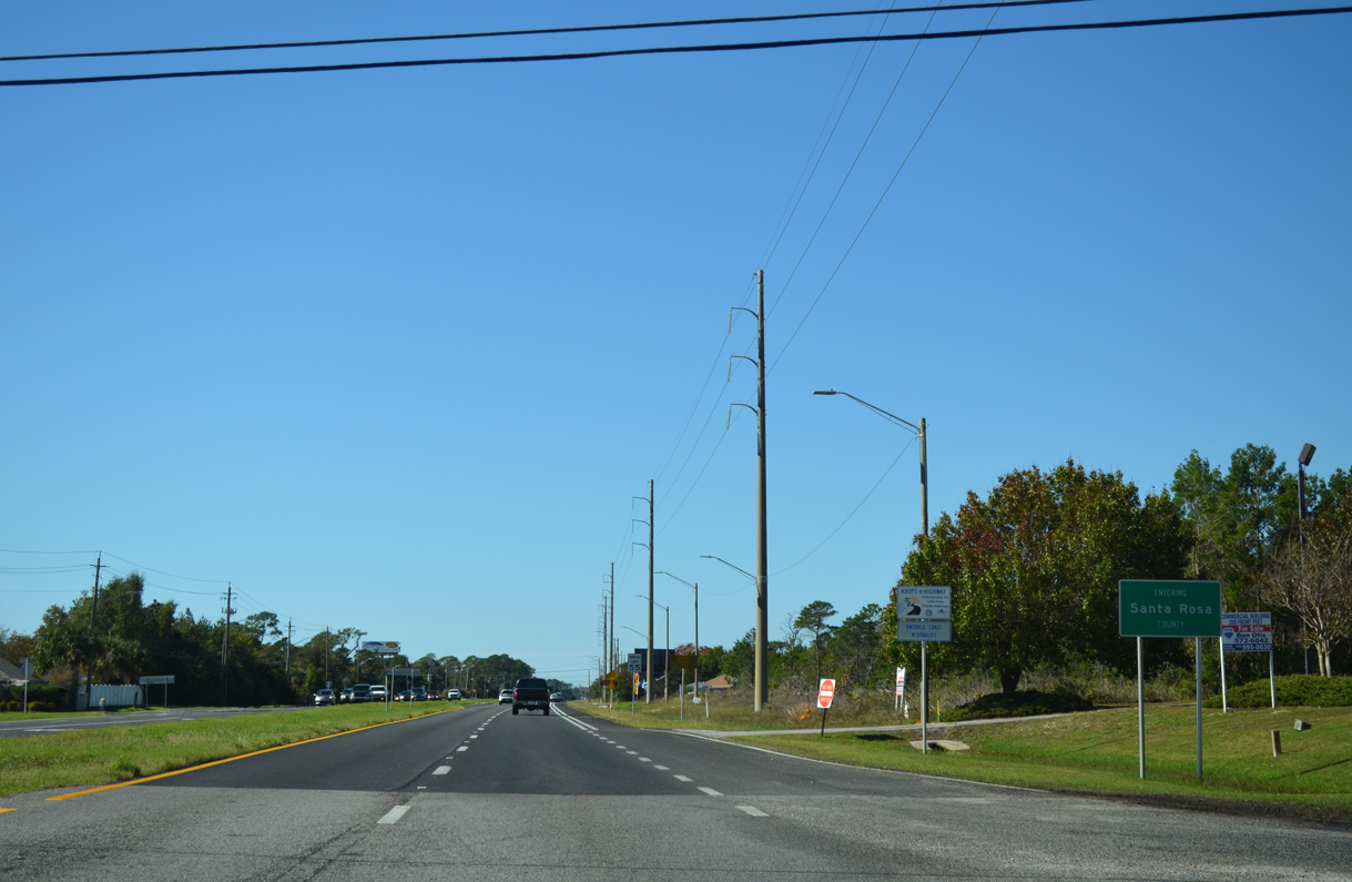
| U.S. 98 concludes the 24.53 mile drive across Okaloosa County and enters Santa Rosa County. 11/19/15 |
07/31/06, 10/31/08, 11/02/08, 04/14/09, 04/19/09, 08/23/11, 10/17/11, 11/19/15 by AARoads
Page Updated 08-27-2018.


 west
west