|
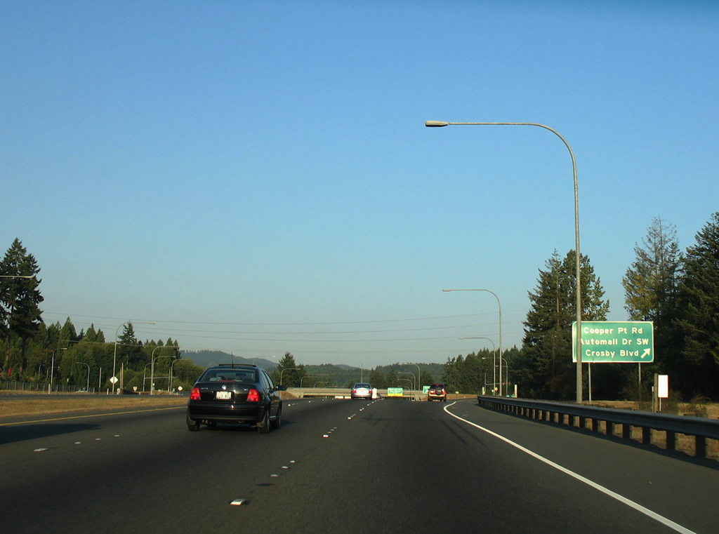
| U.S. 101 begins at Tumwater and follows a freeway west six miles to the historical split with U.S. 410 (SR 8). The US route straddles the Olympia city line west to a diamond interchange with Cooper Point Road / Capitol Auto Mall Drive west and Crosby Boulevard south. 09/02/06 |
|
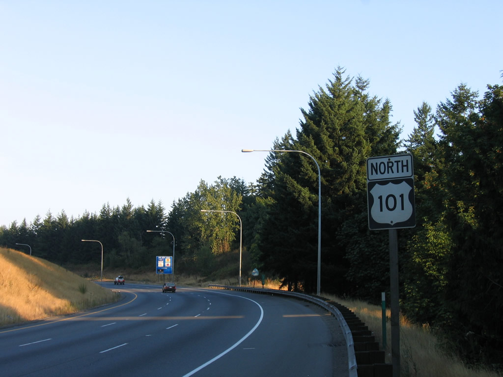
| The first reassurance marker posted for U.S. 101. Technically the end at Tumwater is the northern terminus, but U.S. 101's alignment encircles the Olympic Peninsula, resulting in southbound heading northbound to Discovery Bay. 09/02/06 |
|
| U.S. 101 shifted from an alignment using Mud Bay Road, Harrison Avenue and 4th Avenue to the freeway south of Olympia in 1958. Cooper Point Road leads north from Capitol Auto Mall Drive to Capital Mall and Cooper Point on Puget Sound. Crosby Boulevard winds southward from U.S. 101 around Tumwater Hill to Sapp Road. 09/02/06 |
|
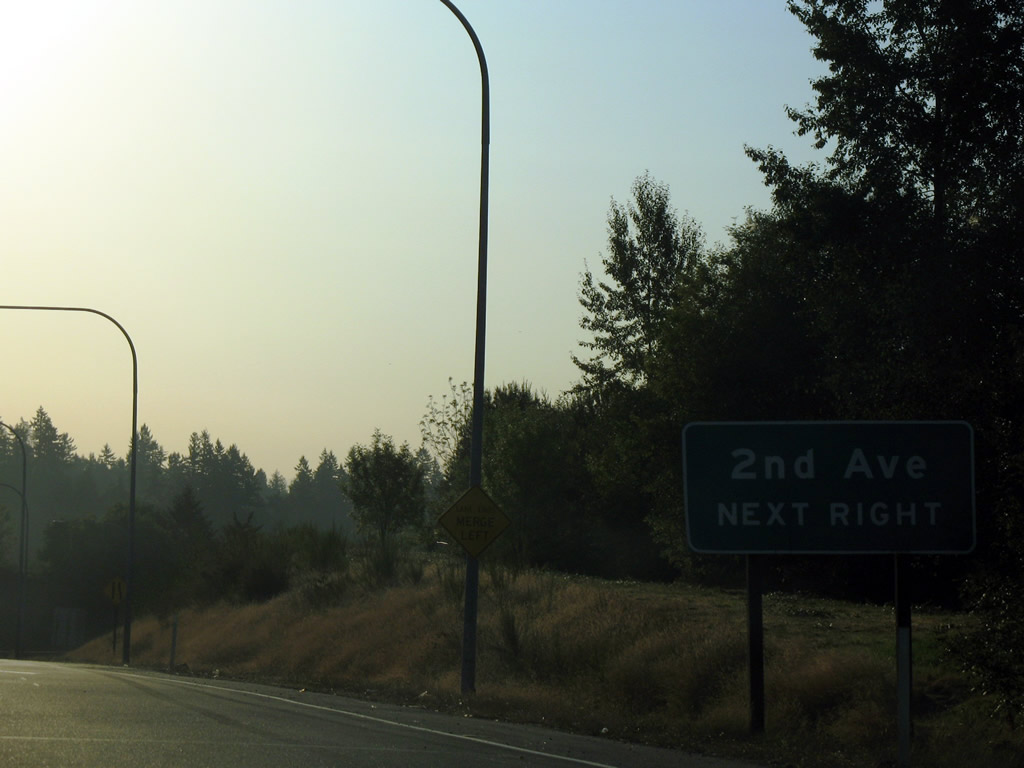
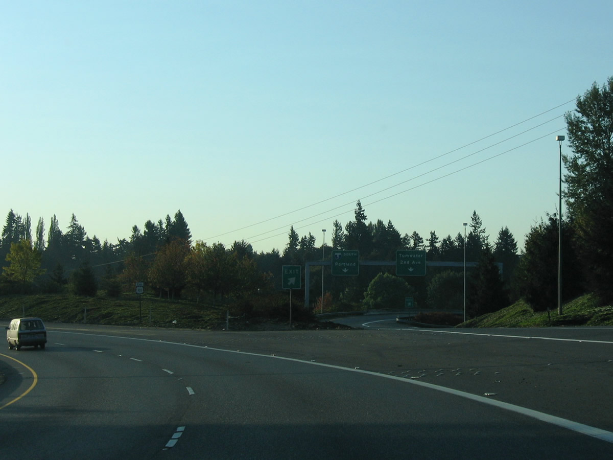
| Advancing to Interstate 5, U.S.101 crosses the Tumwater city line. The southbound ramp to I-5 includes a connection with 2nd Avenue SW ahead of Custer Way. 09/02/06 |
|
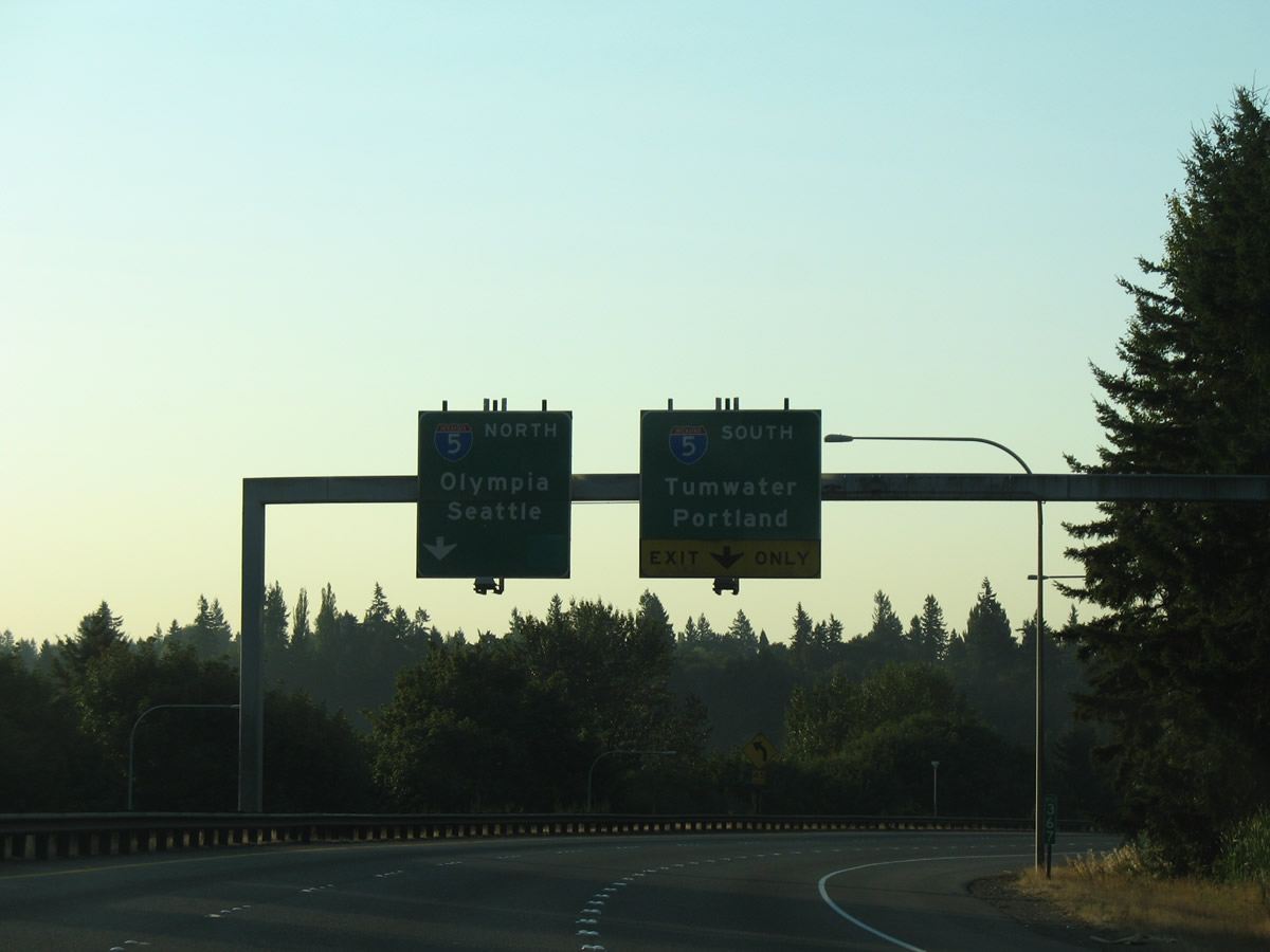
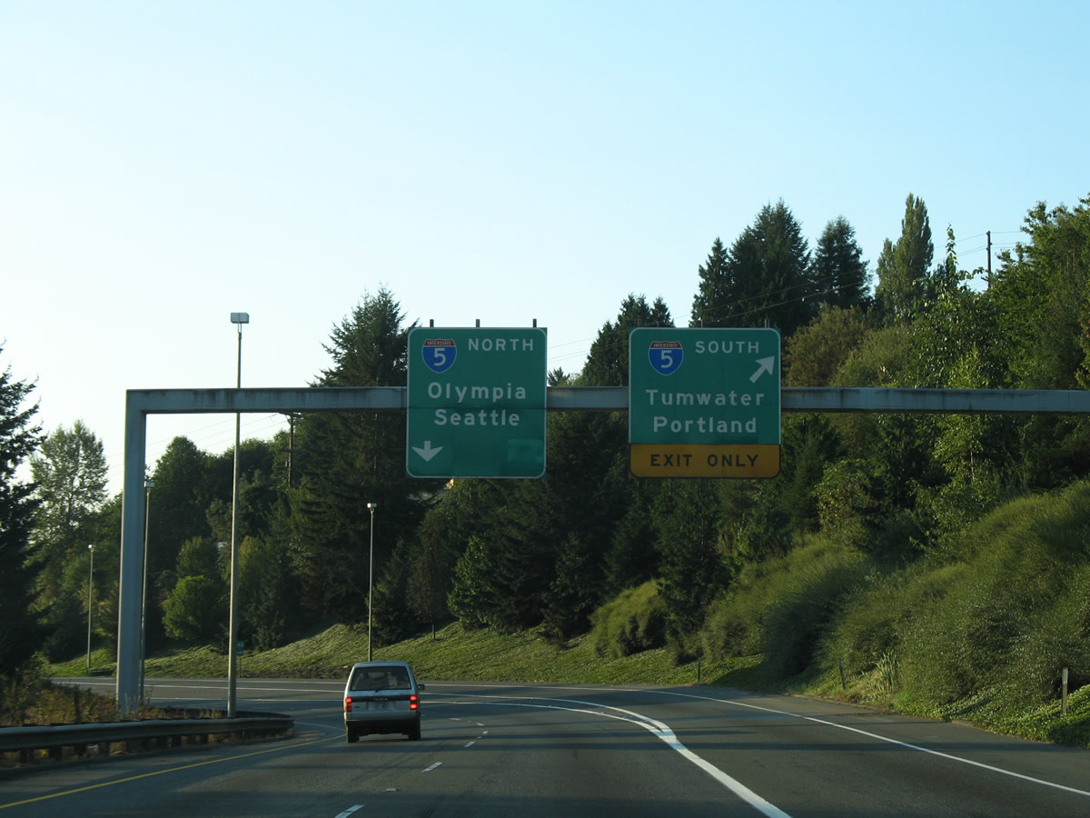
| U.S. 101 south defaults onto Interstate 5 north at a directional T interchange opposite Capitol Lake. 09/02/06 |
|
| Interstate 5 replaced U.S. 99 as the main route between Portland, Oregon, Olympia and Seattle, Washington. I-5 and the U.S. 101 freeway at Olympia/Tumwater opened in 1958. U.S. 101 doubled as U.S. 410 east from Mud Bay to I-5 until its decommissioning in 1967. U.S. 99 was decommissioned in 1969, two years after I-5 was extended east into Pierce County. 09/02/06 |
|
| Southbound U.S. 101 at the ramp for Interstate 5 south to 2nd Avenue and Portland, Oregon. 09/02/06 |
|
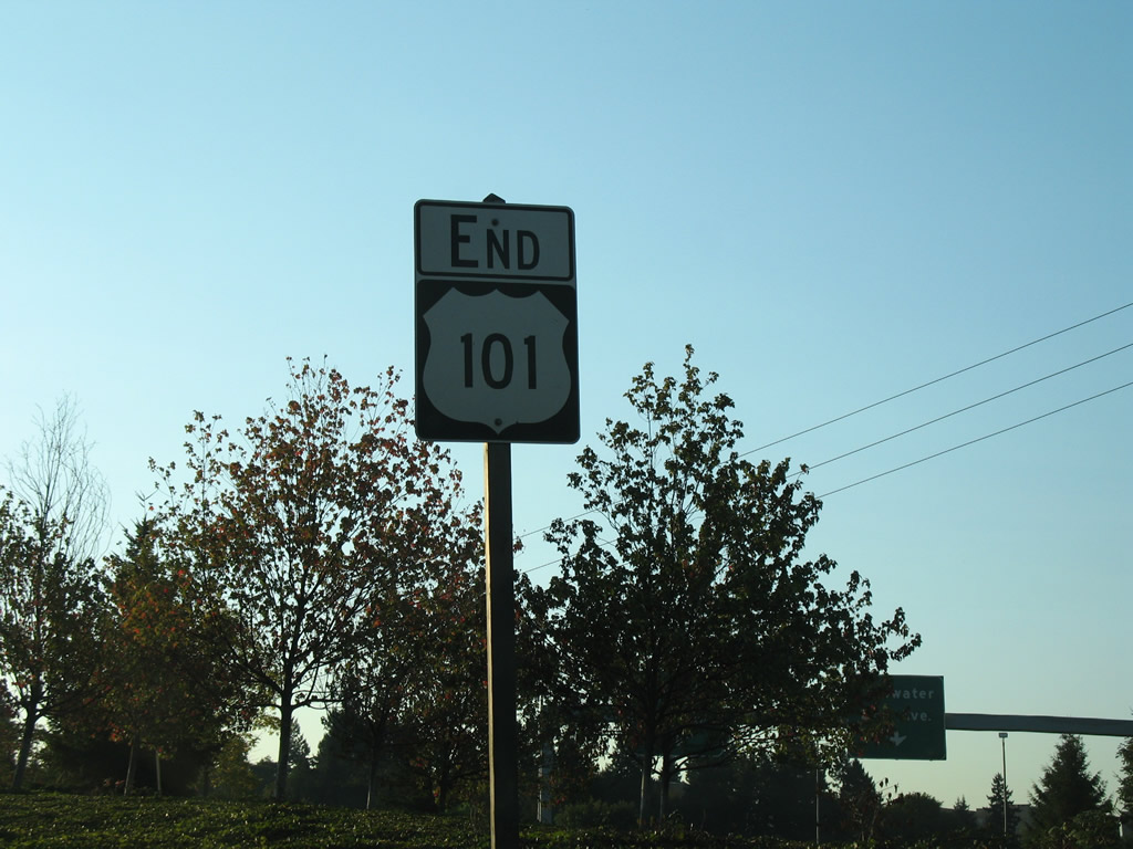
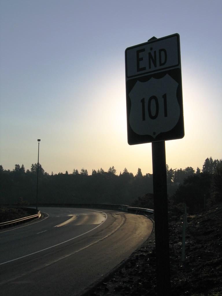
| An end shield was posted for U.S. 101 at the flyover ramp onto Interstate 5 north. I-5 continues across Capitol Lake toward the state capitol next and beyond to Lacey and Tacoma. 09/02/06 |
Page Updated 11-09-2010.

 North
North