
 South
South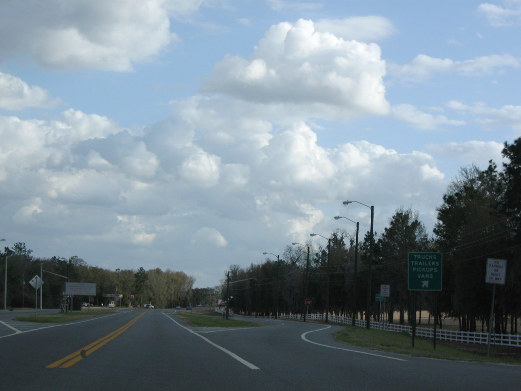
A Florida agricultural inspection station operates just south of the Suwannee River and 95th Drive along both directions of U.S. 129.
03/13/10

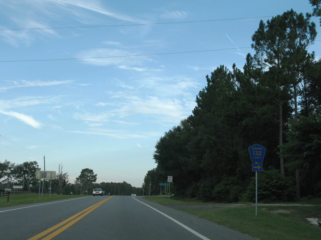
The western branch of CR 132 travels 14.45 miles across northern Suwannee County, from U.S. 129 near Suwannee to U.S. 90 near Ellaville.
08/03/08
08/03/08
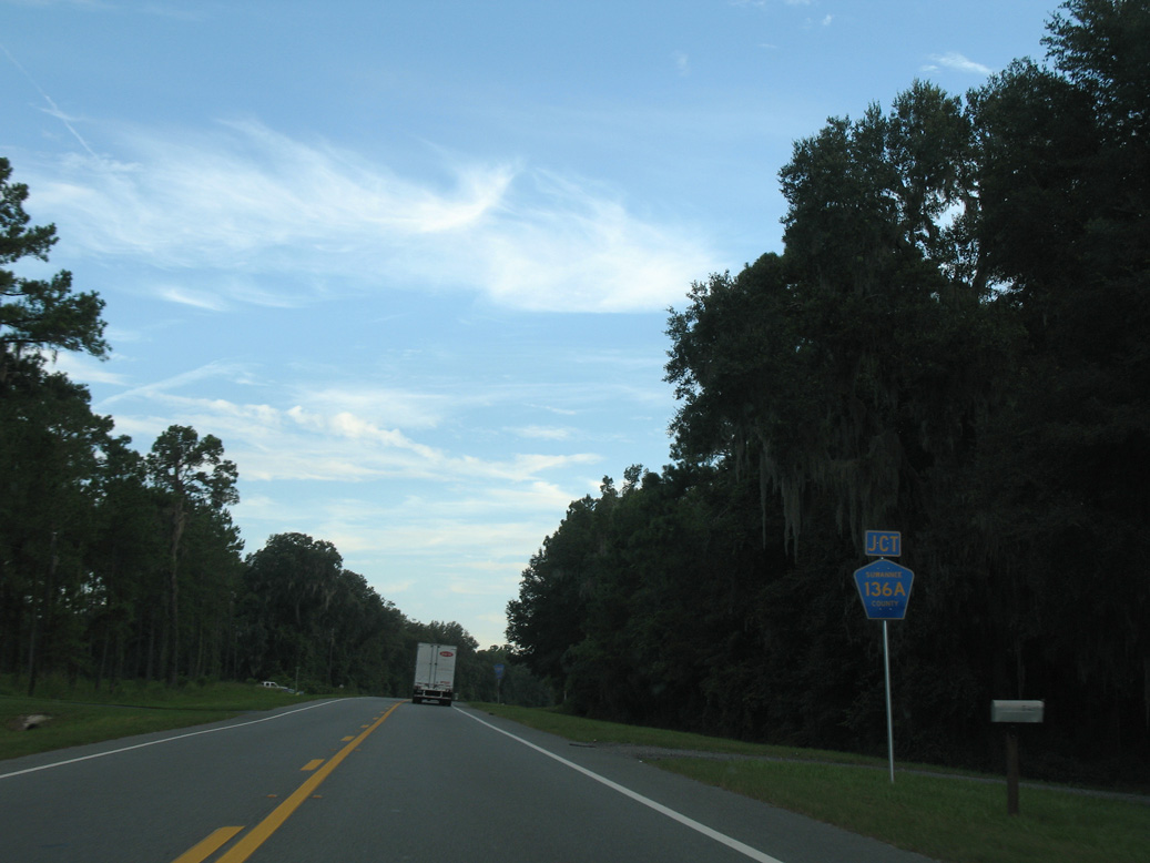
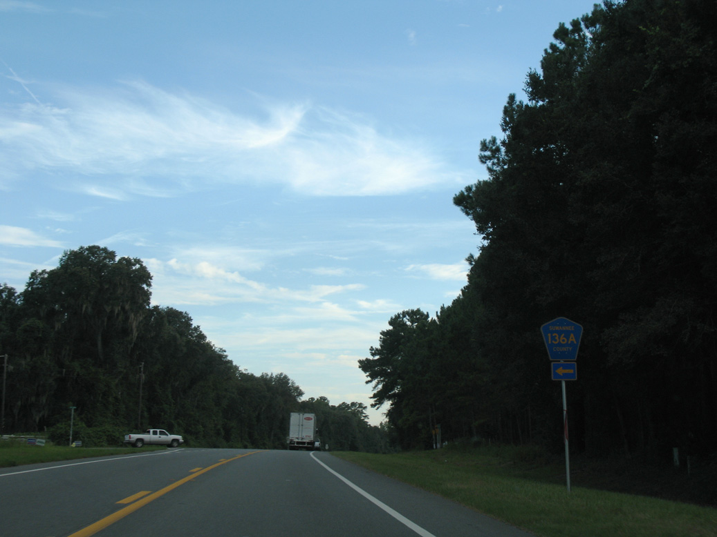
CR 136A stems 7.02 miles east from U.S. 129 near Hare Lake to Howell and CR 136.
08/03/08
08/03/08
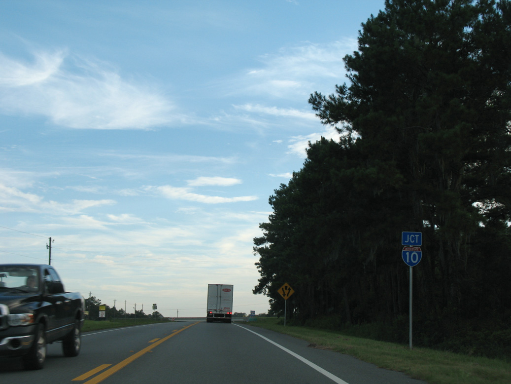
U.S. 129 traverses Horse Prairie southwest from CR 136A to Interstate 10.
08/03/08
U.S. 129 expands to a four lane commercial arterial from the exchange with I-10 south into Live Oak.
08/03/08

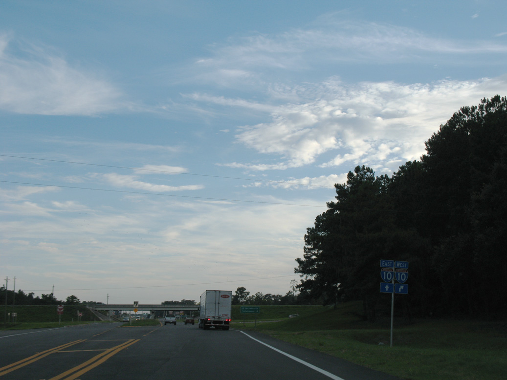
Interstate 10 travels west from the diamond interchange with U.S. 129 to Tallahassee and Pensacola.
08/03/08
East from Live Oak, I-10 continues to I-75 outside Lake City and Jacksonville.
08/03/08
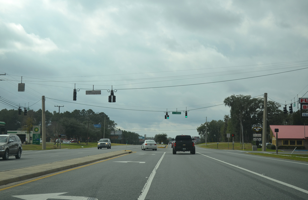
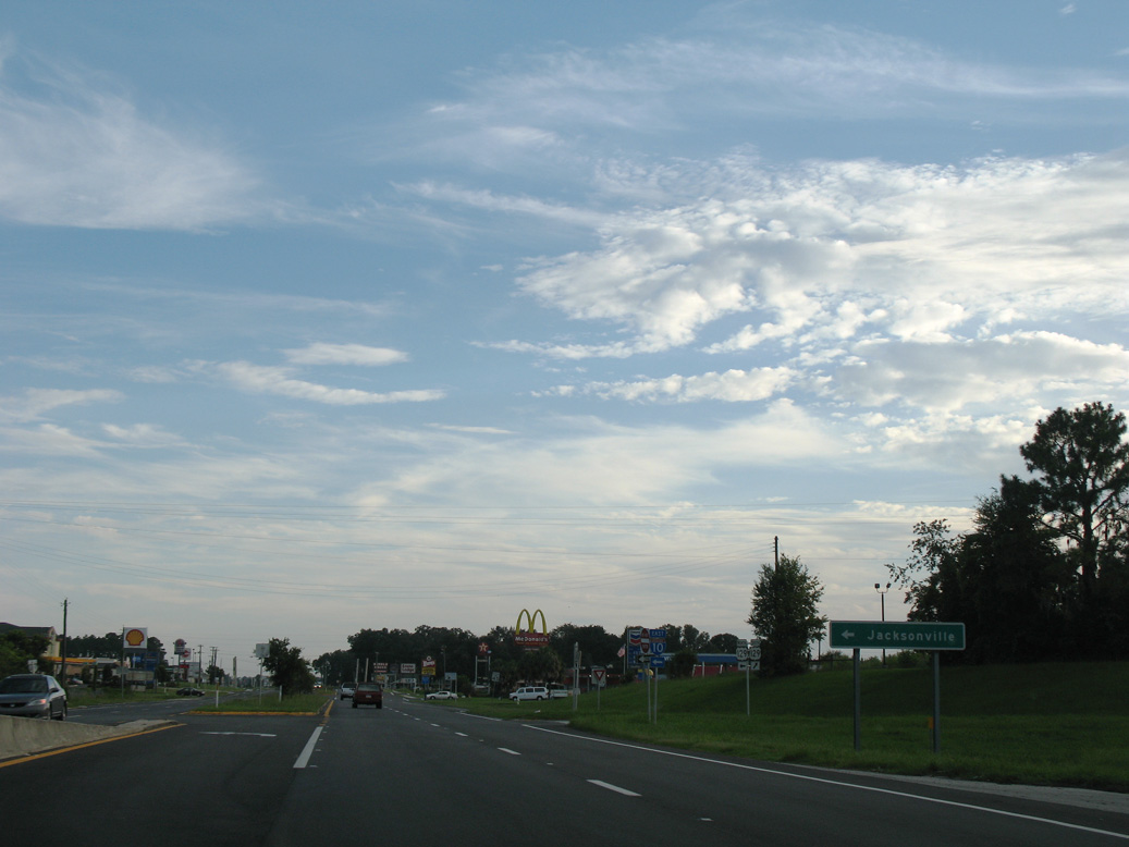
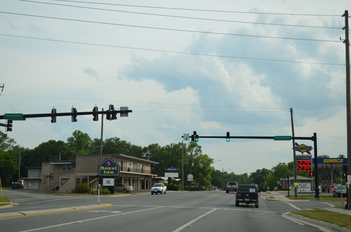
The traffic light with 68th Terrace serves big box retail, lodging businesses and several restaurants.
01/16/16
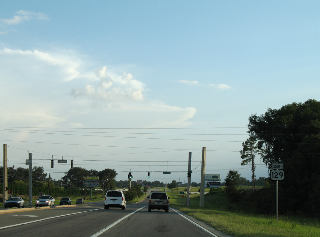
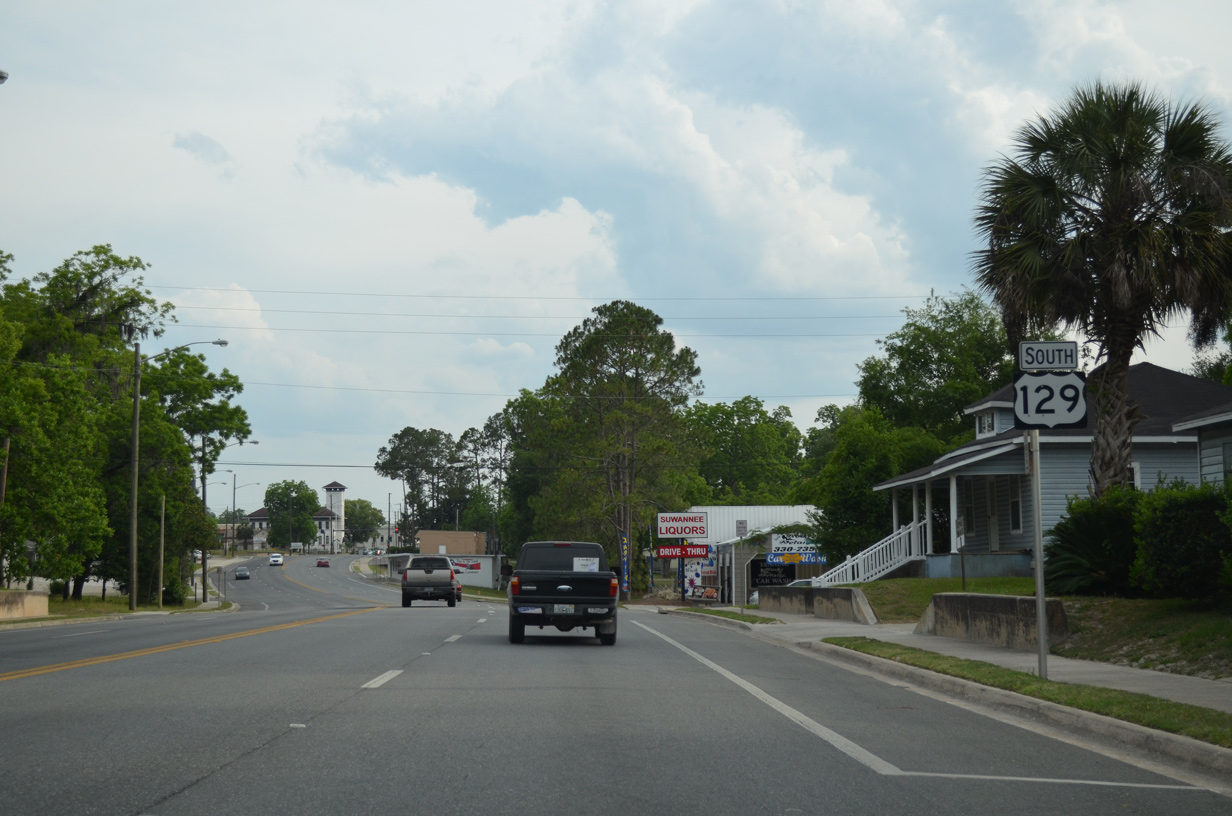
U.S. 129 reassurance marker posted southbound ahead of 70th Street.
08/07/06
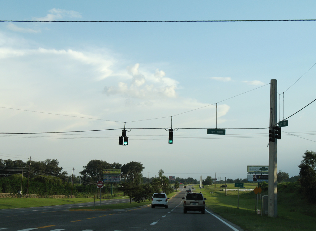
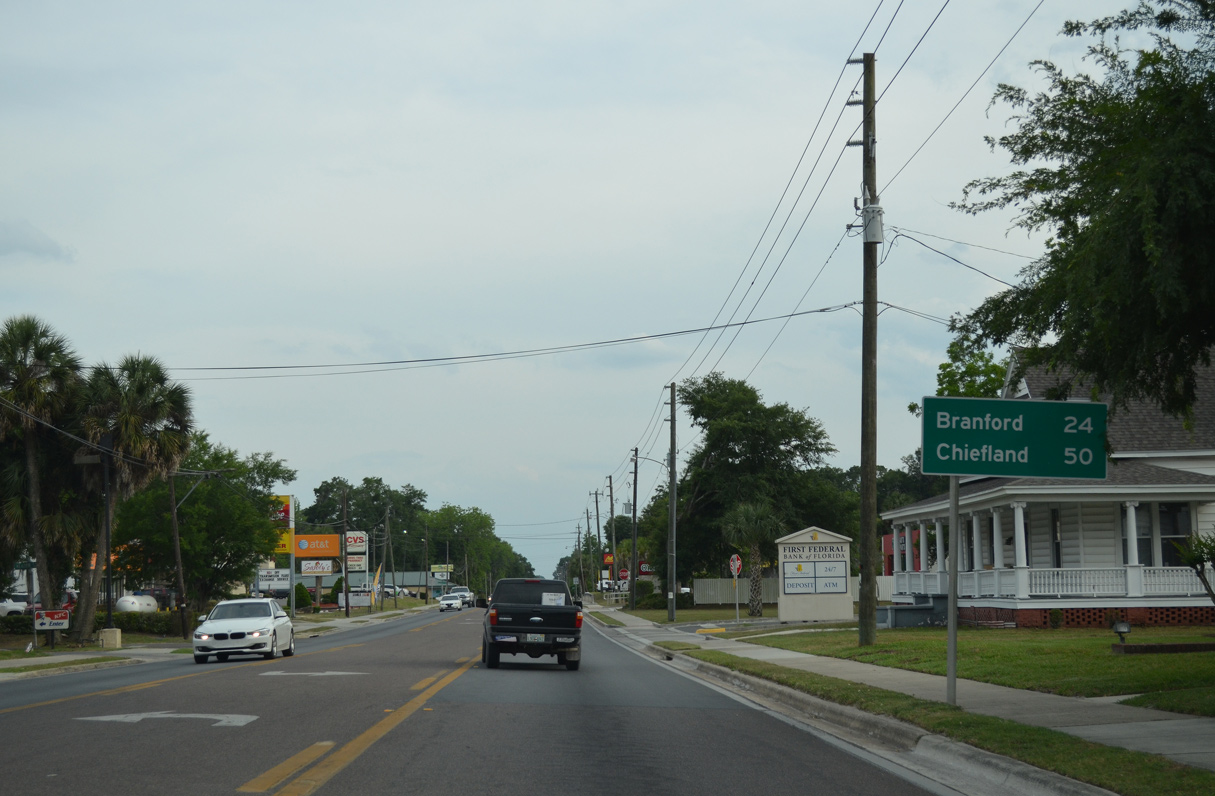
Becoming Ohio Avenue, U.S. 129 enters the city of Live Oak at 70th Street.
08/07/06
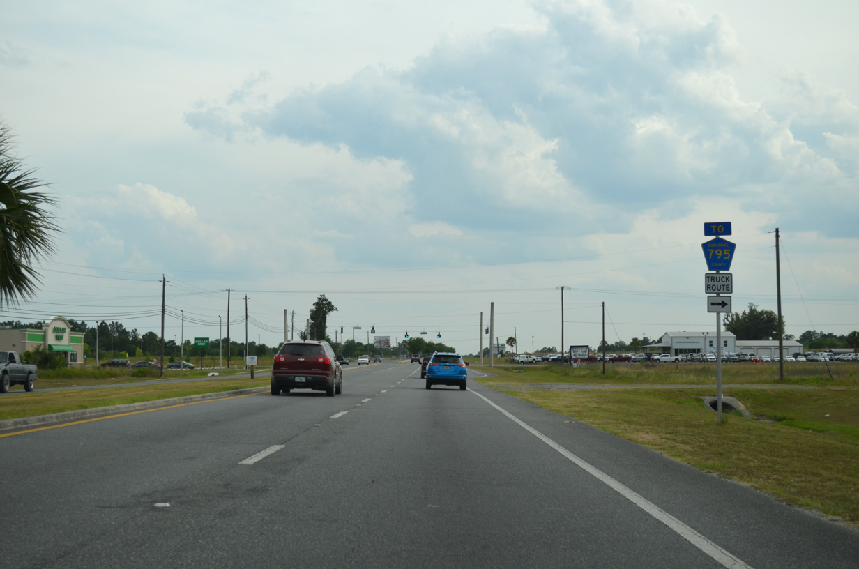
72nd Trace links U.S. 129 with CR 795 to the west.
05/16/16
05/16/16
05/16/16
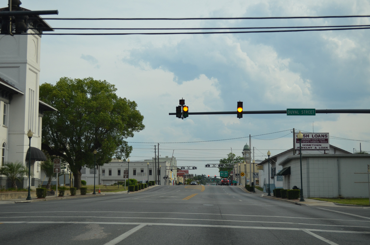
Unmarked on U.S. 129 (Ohio Avenue), Duval Street represents the eastbound beginning of County Road 136 east to White Springs.
05/16/16
The Suwannee County Courthouse comes into view along U.S. 129 south ahead of U.S. 90 (Howard Street).
05/16/16
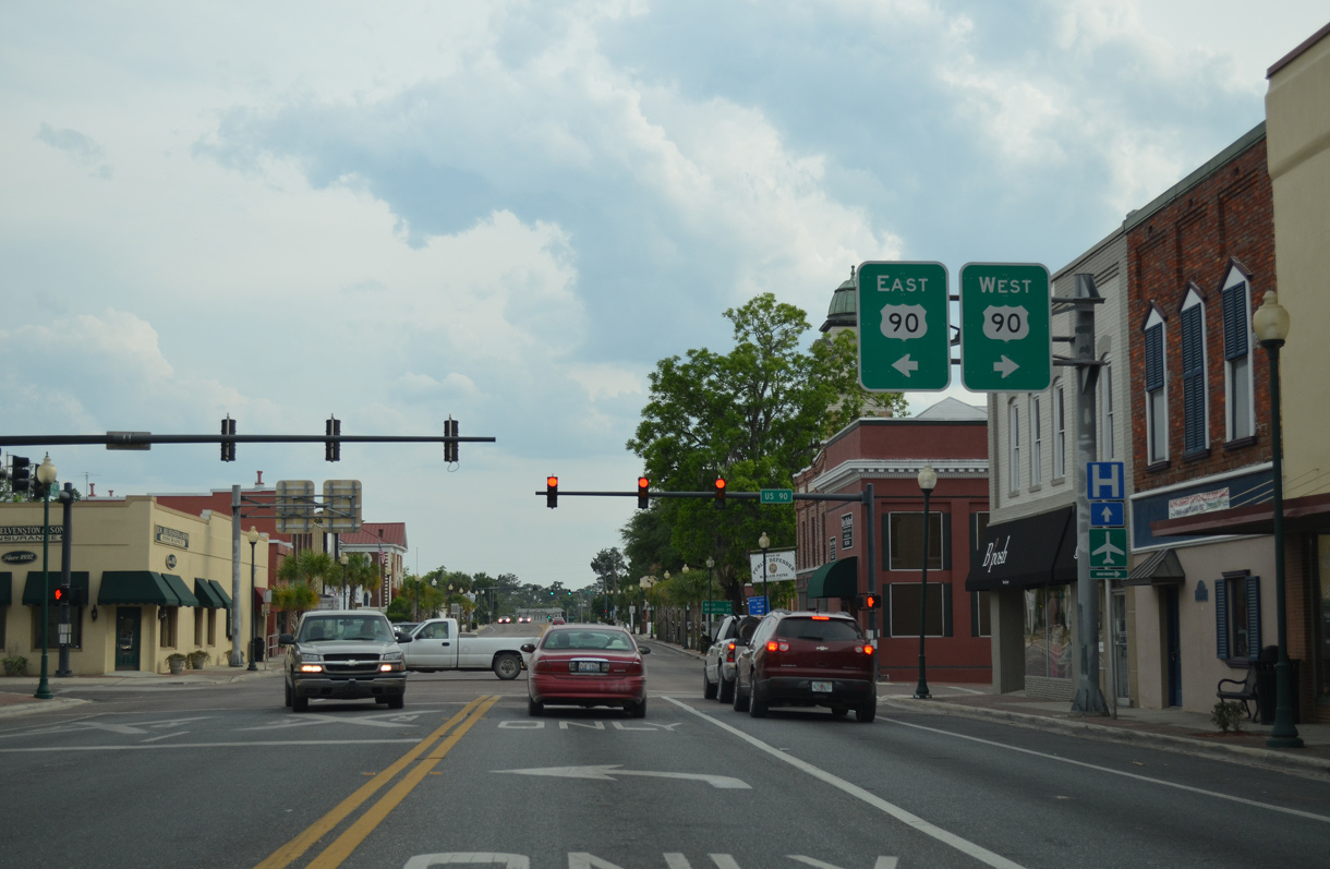
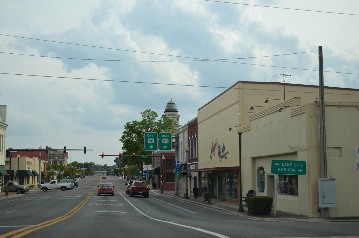
U.S. 90 runs through Downtown Live Oak west to Lee and Madison and east to Wellborn and Lake City.
05/16/16
05/16/16
05/16/16
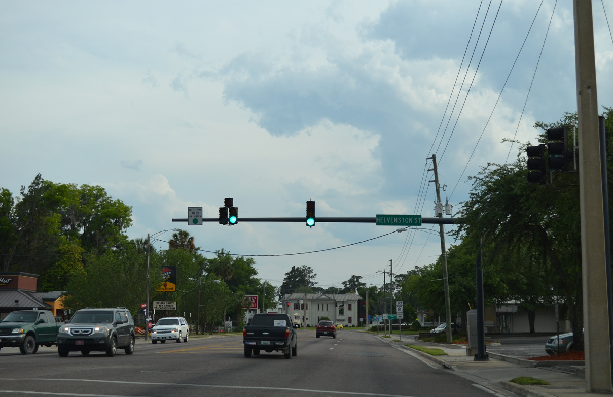
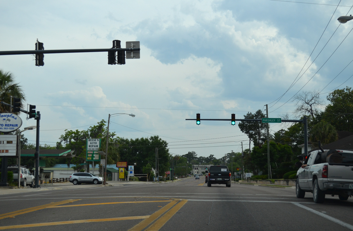
Helvenston Street is unsigned CR 10A east 1.75 miles to U.S. 90.
05/16/16
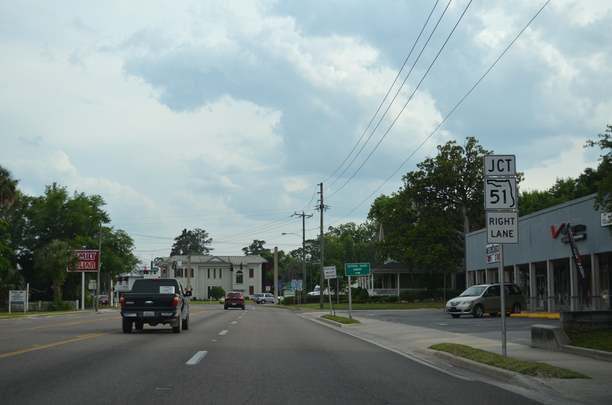
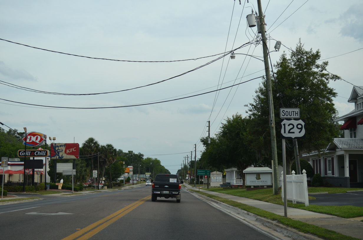
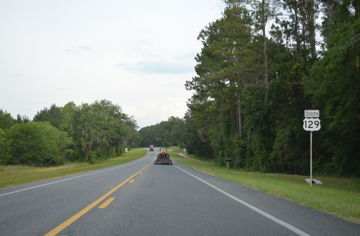
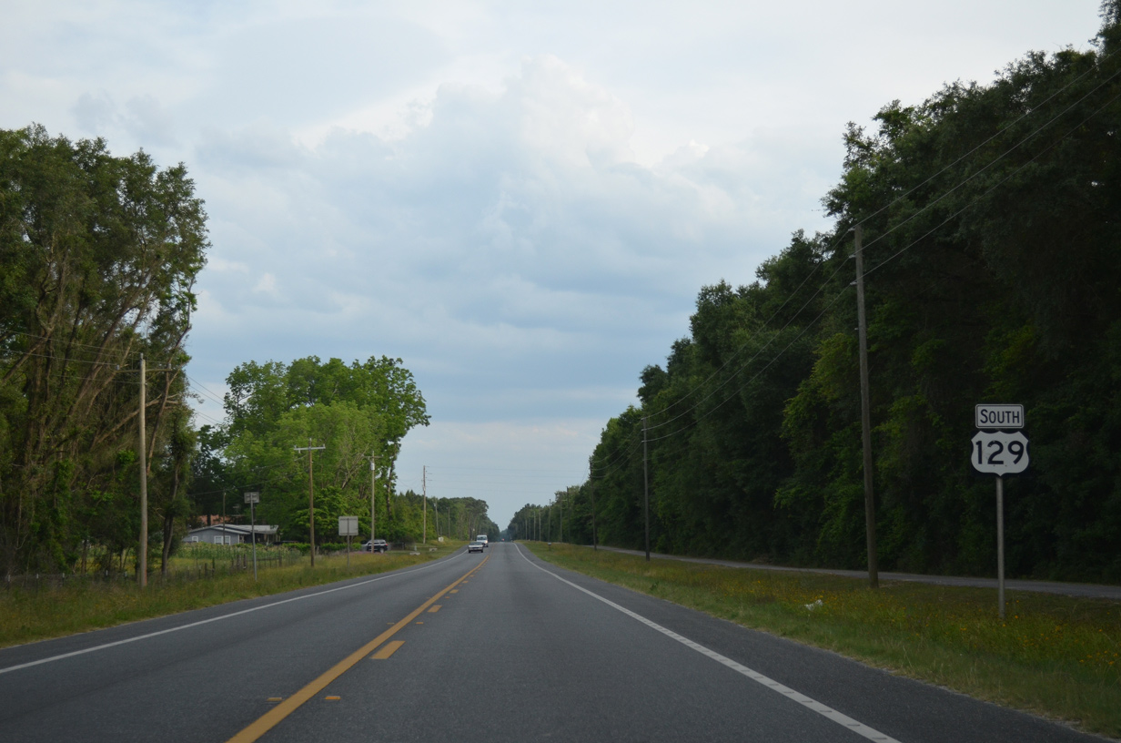
SR 51 emerges from U.S. 129 south along 11th Street SW. SR 51 is the hidden component of U.S. 129 north to U.S. 41 (SR 100) at Jasper.
05/16/16
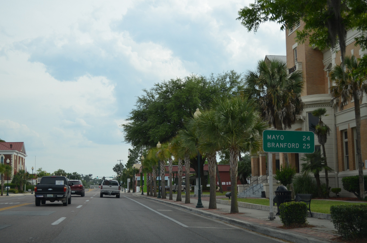
State Road 51 travels 53 miles to Steinhatchee along the Gulf of Mexico.
05/16/16
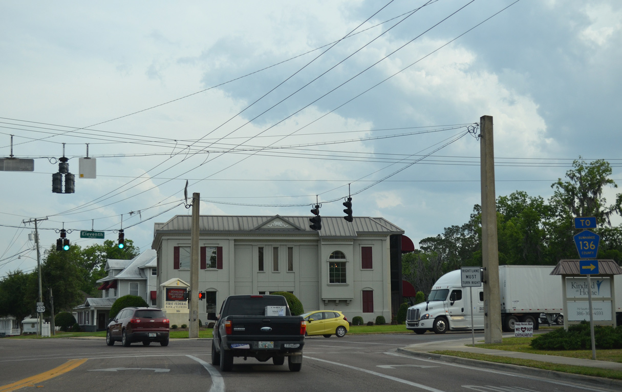
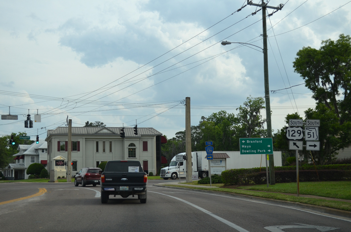
SR 51 (11th Street) links U.S. 129 with the western leg of CR 136 to Dowling Park.
05/16/16
05/16/16
05/16/16
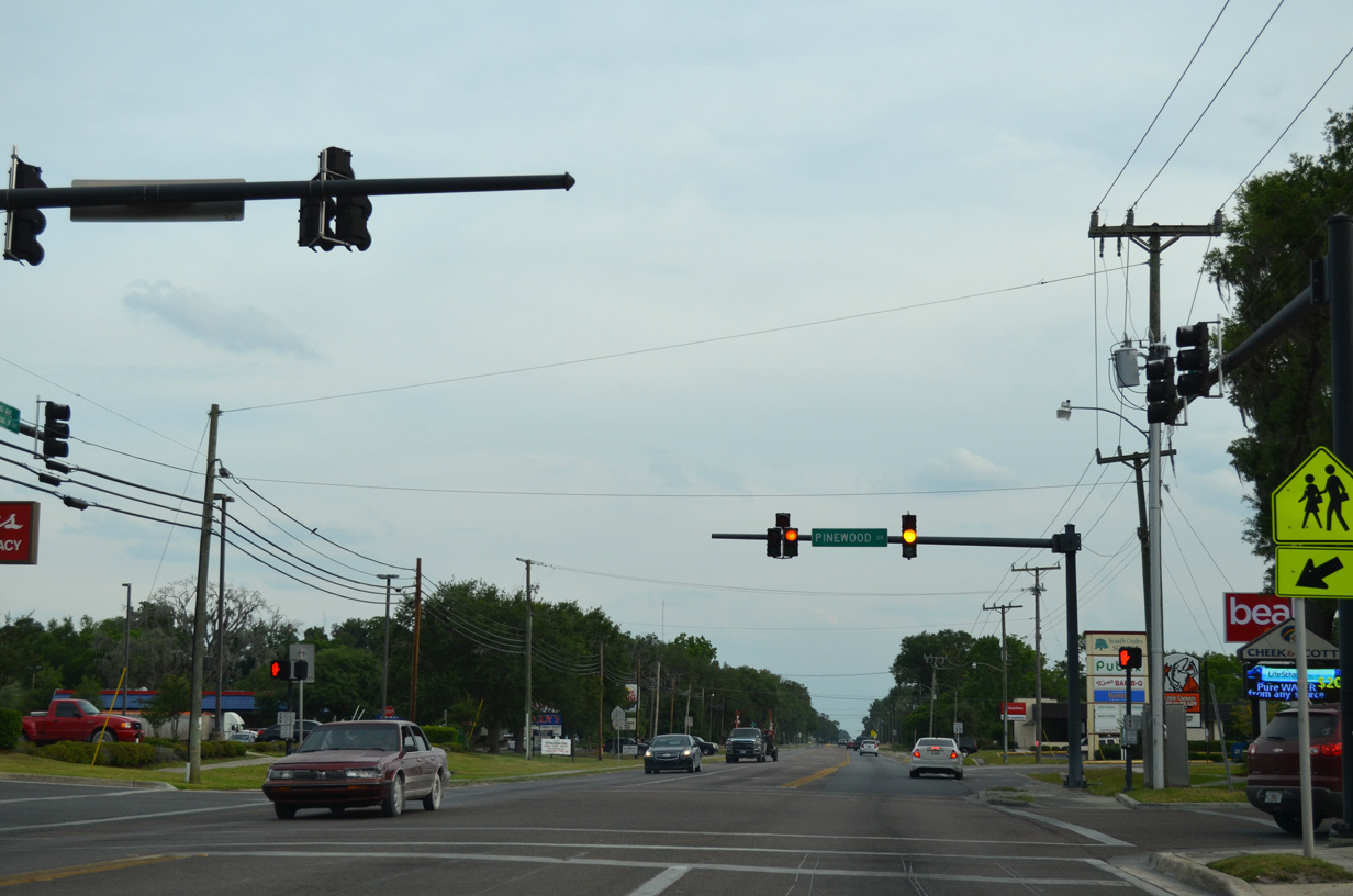
Pinewood Drive is unsigned CR 1258 west 1.01 miles to SR 51.
05/16/16
05/16/16

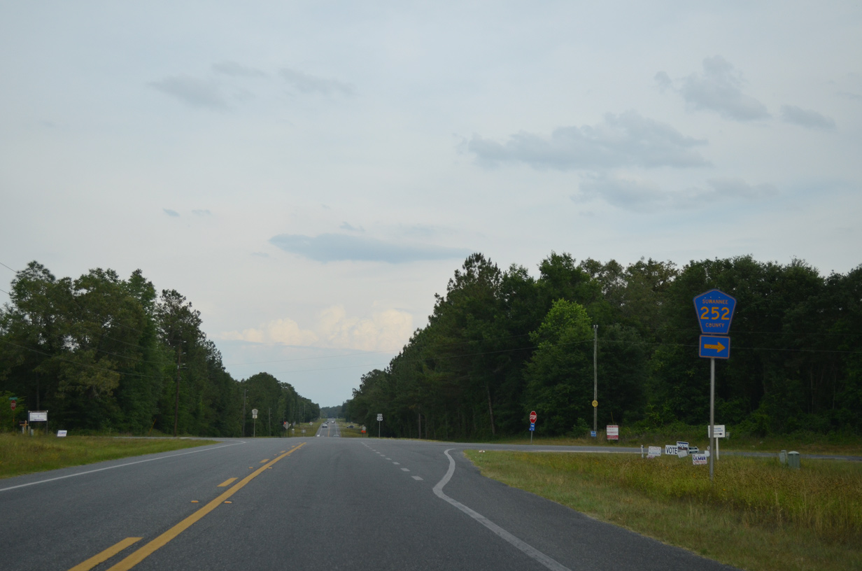
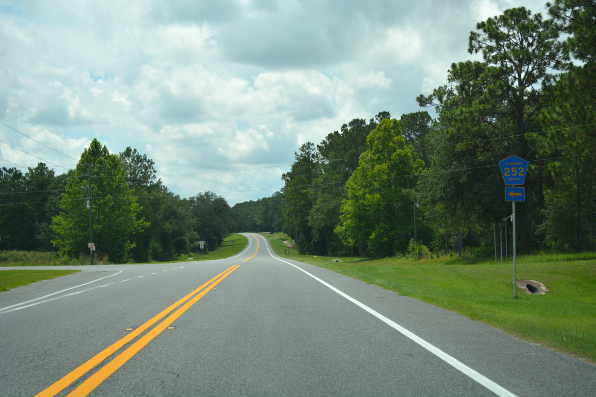
CR 252 runs 10.06 miles east from SR 51 to U.S. 129.
05/16/16
05/16/16

06/30/17
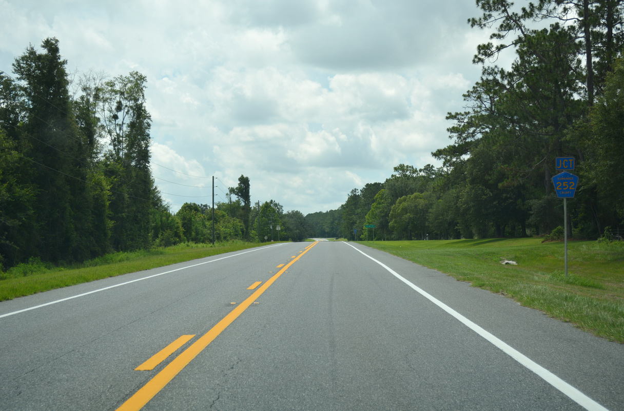
CR 252 continues east from U.S. 129 to Pinemount en route to U.S. 90 outside Lake City.
06/30/17
06/30/17
06/30/17
05/16/16

05/16/16
05/16/16
05/16/16
05/16/16
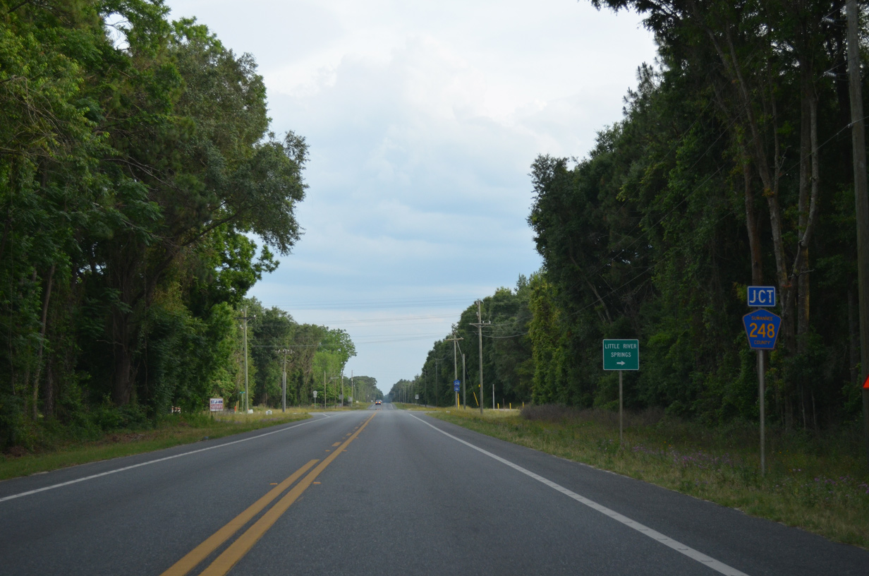
CR 248 parallels the Suwannee River Greenway 1.75 miles west from U.S. 129 to Little River Springs Park.
05/16/16
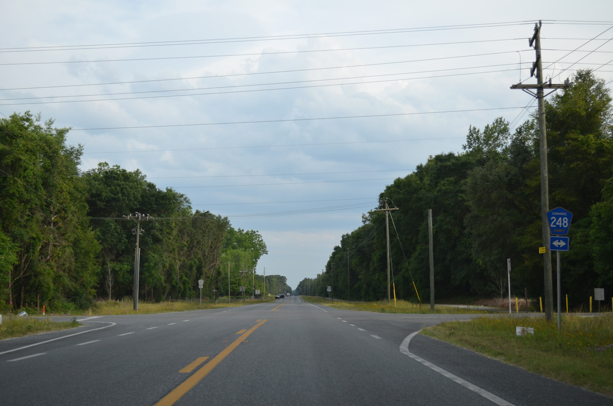
CR 248 continues 4.64 miles east from U.S. 129 to CR 49 and SR 247 at Beachville.
05/16/16
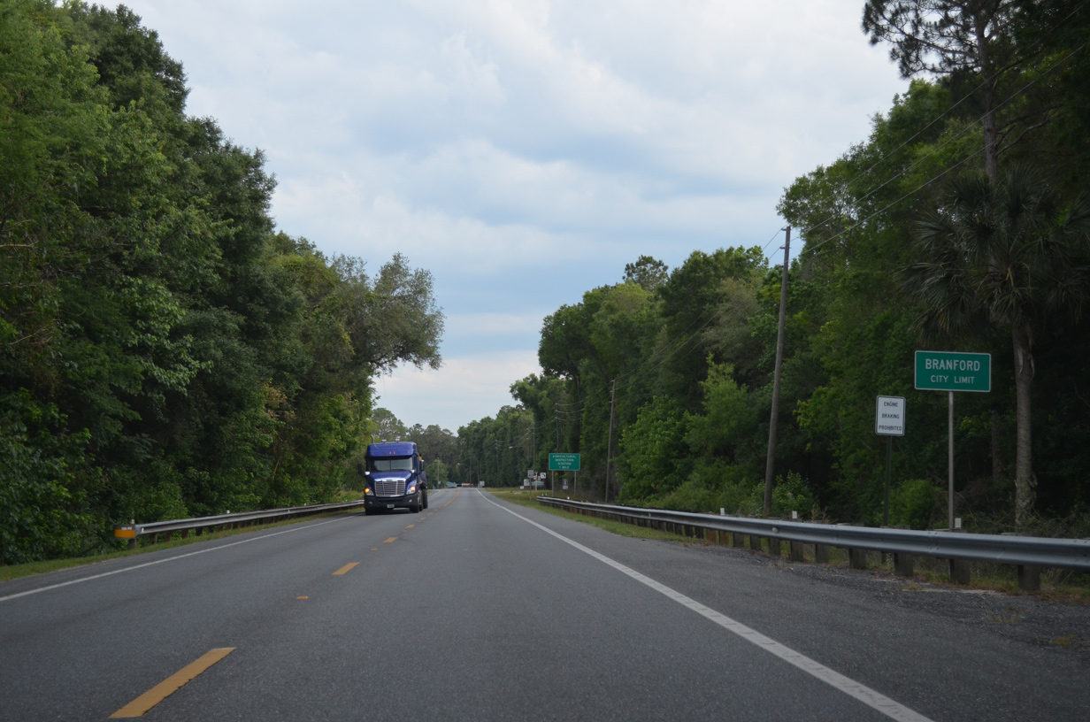
The Suwannee River Greenway lines the west side of U.S. 129 south from CR 248 into the town of Branford.
05/16/16
05/16/16
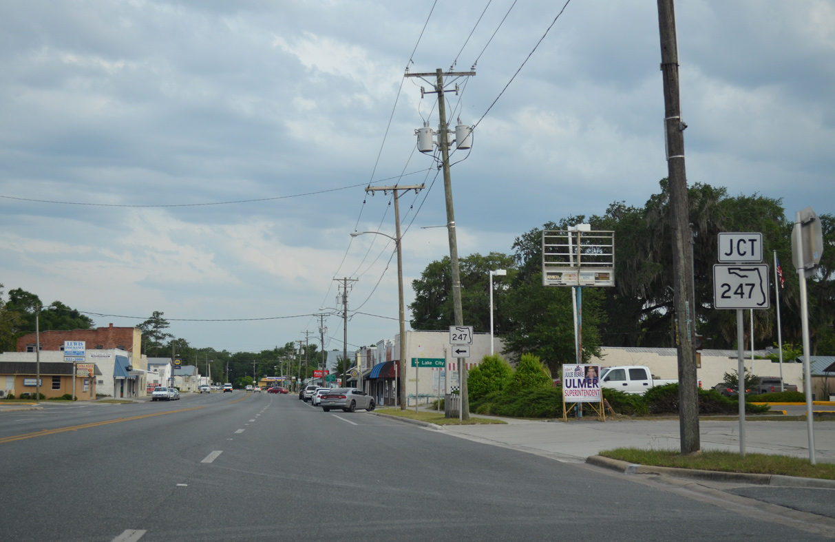
U.S. 129 (Suwannee Avenue) converges with the south end of State Road 247 (PLant Avenue) in the Branford business district.
05/16/16

State Road 247 bee lines northeast 22 miles to U.S. 90 at Lake City.
05/16/16
U.S. 129 (Suwannee Avenue) proceeds five blocks south from SR 247 to U.S. 27.
06/30/17

Connecting Branford with Mayo and Fort White, U.S. 27 between Perry and High Springs generally travels east-west.
06/30/17
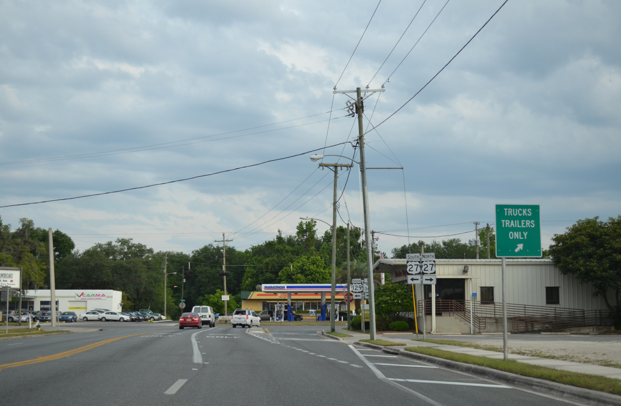
An agricultural inspection station lies adjacent to the intersection joining U.S. 129 south with U.S. 27.
05/16/16
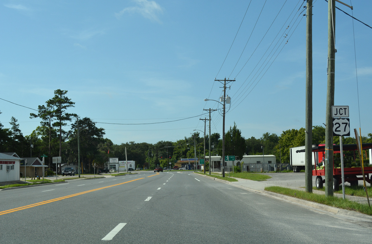
U.S. 129 combines with U.S. 27 four miles east from Branford.
06/30/17
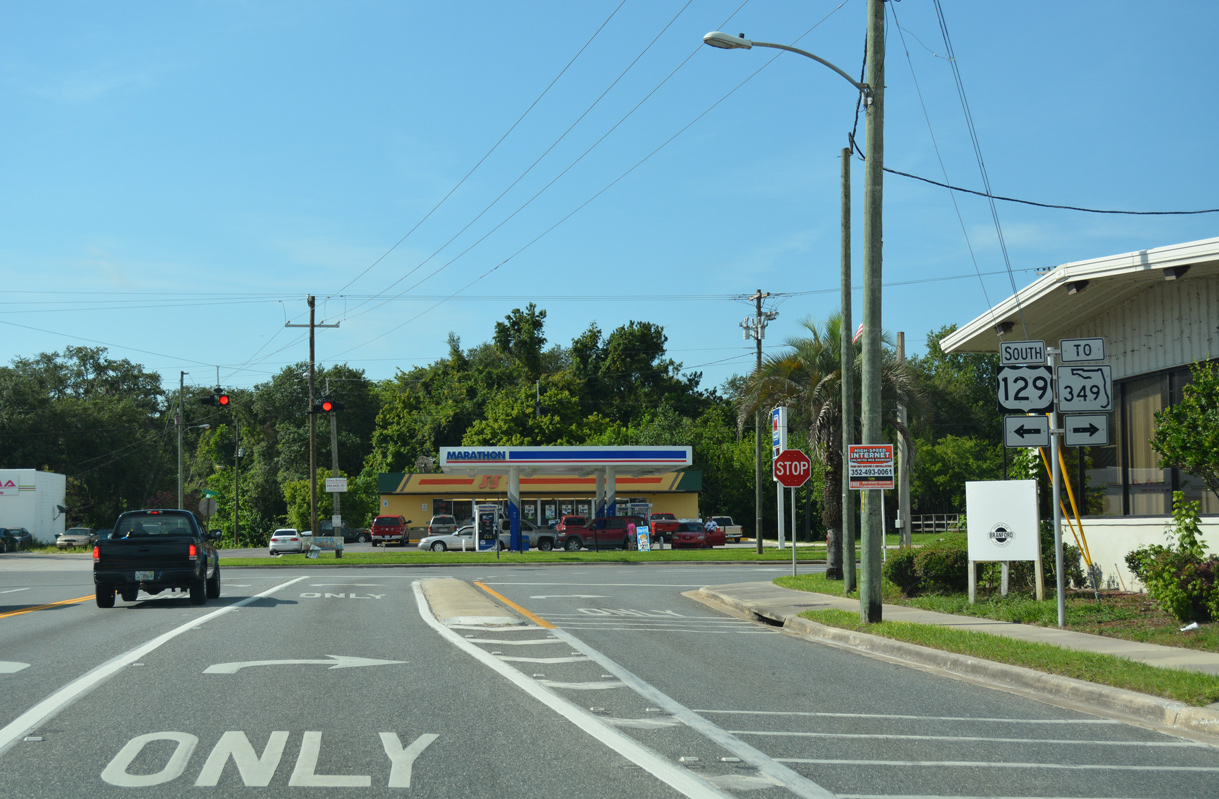
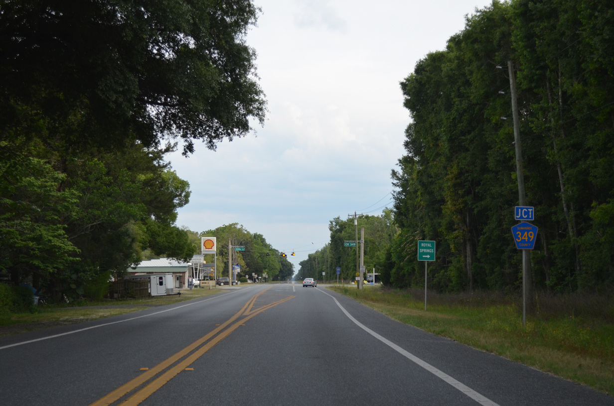
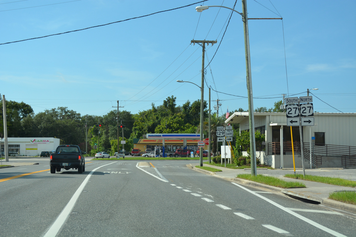
U.S. 27 spans the Suwannee River west and meets SR 349 south in 1.3 miles. SR 349 parallels the river to the west to U.S. 19/98/27 Alternate at Old Town.
06/30/17
 South
South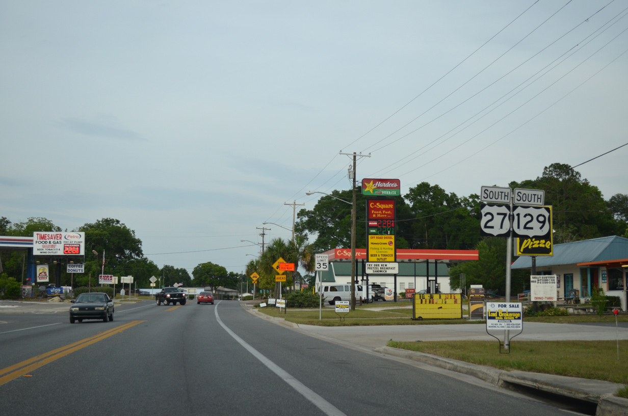
Confirming markers for U.S. 27/129 at Drane Street in Branford.
05/16/16
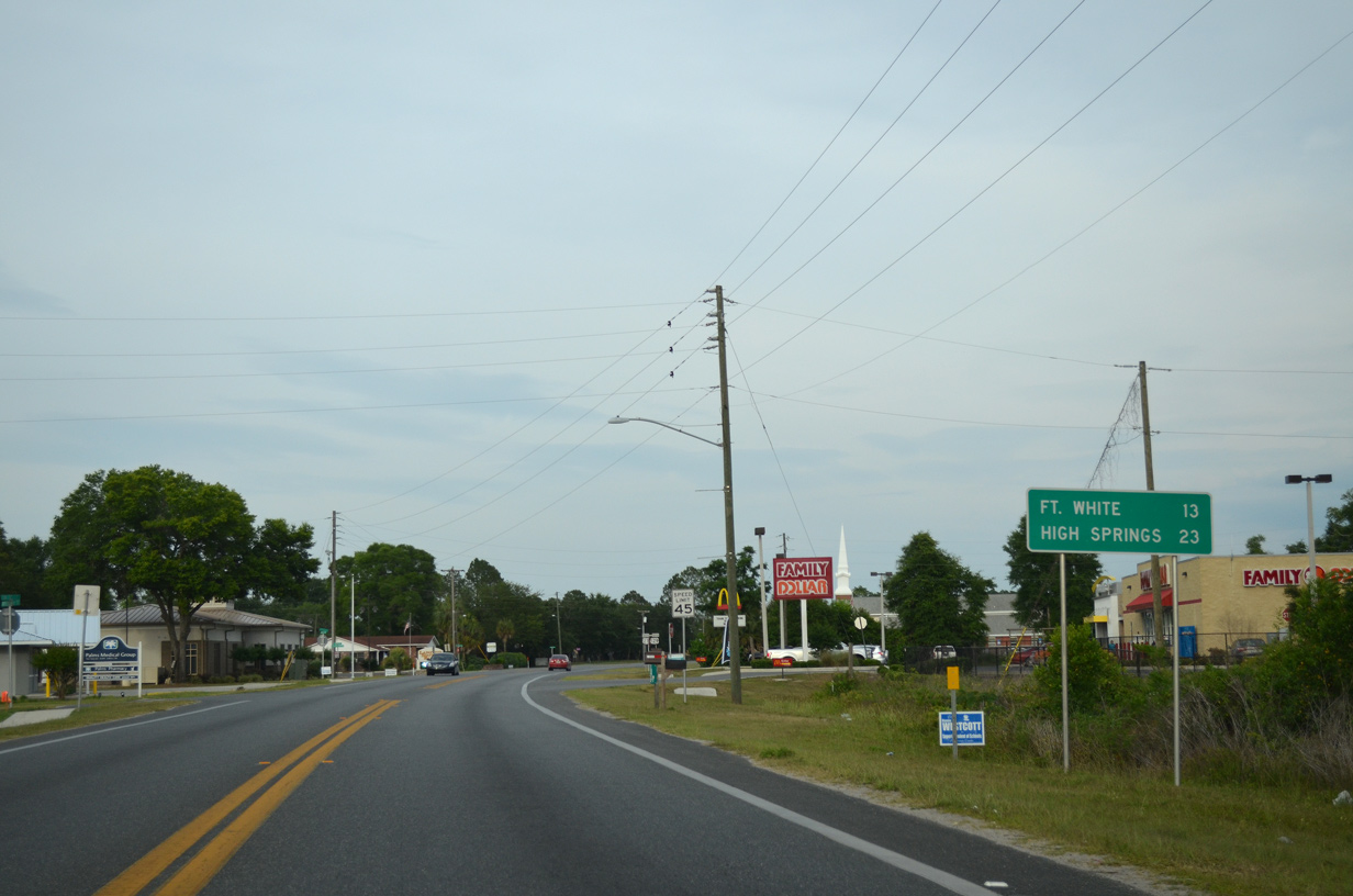
U.S. 27 continues 13 miles from Branford to Fort White and 23 miles to White Springs.
05/16/16
05/16/16
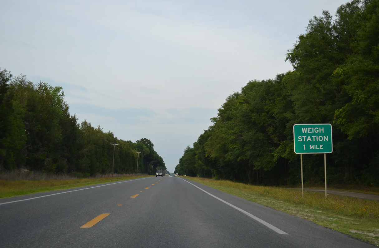
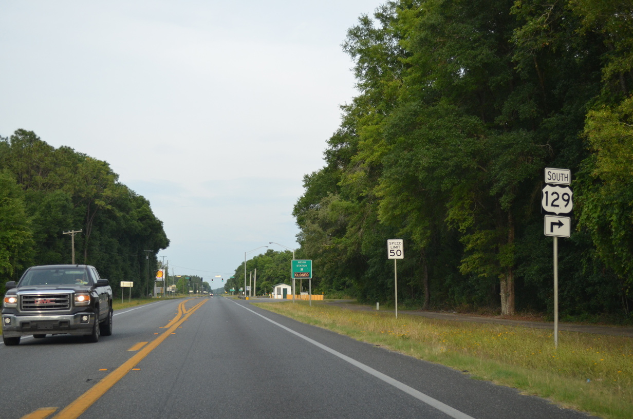
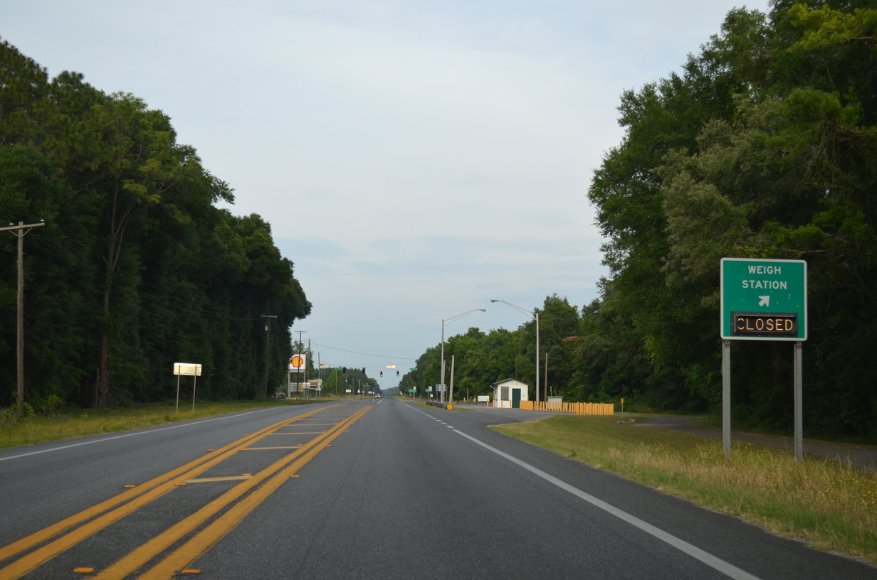
A truck weigh station precedes the split of U.S. 129 south from U.S. 27 in one mile.
05/16/16
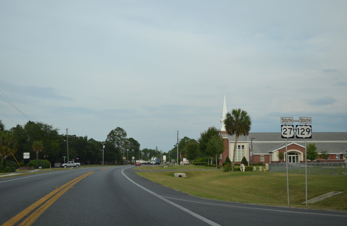
U.S. 129 resumes a southward course into Gilchrist County from U.S. 27 at CR 49.
05/16/16
05/16/16
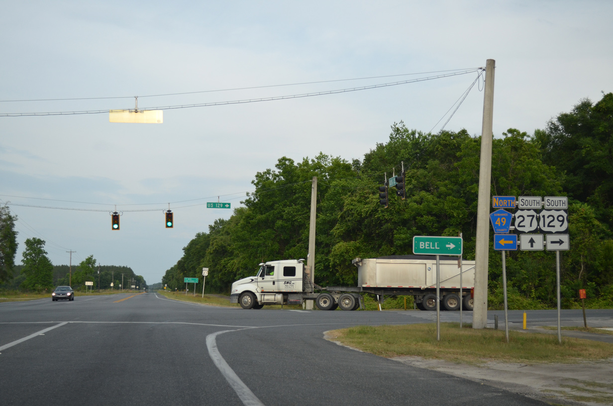
County Road 49 extends 24.63 miles from the split of U.S. 27/129 to U.S. 90 east of Live Oak. U.S. 129 south doubles as State Road 49 to Chiefland.
05/16/16
South
The small town of Bell is 14 miles to the south of U.S. 27.
05/16/16
05/16/16
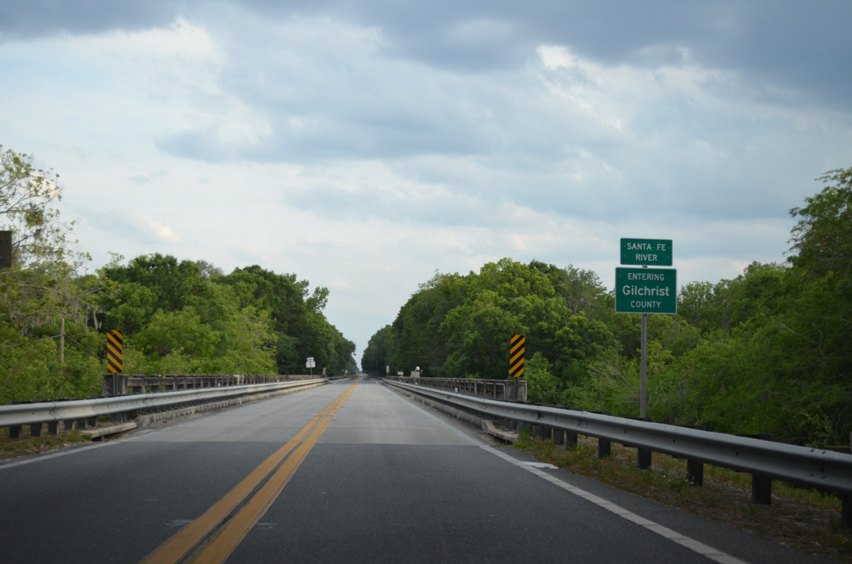
The span taking U.S. 129 across the Santa Fe River into Gilchrist County dates from 1939.
05/16/16

Photo Credits:
08/07/06, 08/03/08, 03/13/10, 01/16/16, 05/16/16, 06/30/17 by AARoads
Connect with:
Interstate 10
U.S. 27
U.S. 90
State Road 51
County Road 49
Page Updated 04-30-2020.