|
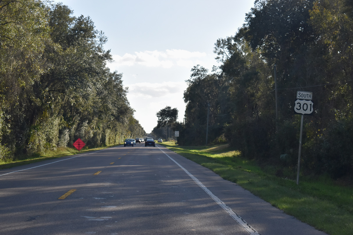
| U.S. 301 traverses a wooded area between Indian Creek and the Hillsborough River just beyond the Pasco County line. Much of this land is protected due to the Hillsborough County Urban Growth Boundary. 01/01/22 |
|
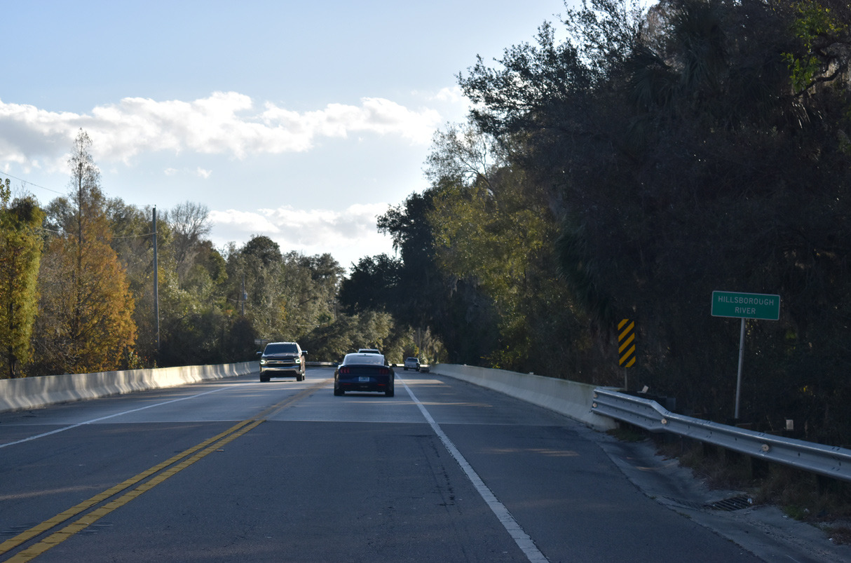
| Spanning the Hillsborough River on U.S. 301 south at Hillsborough River State Park. 01/01/22 |
|
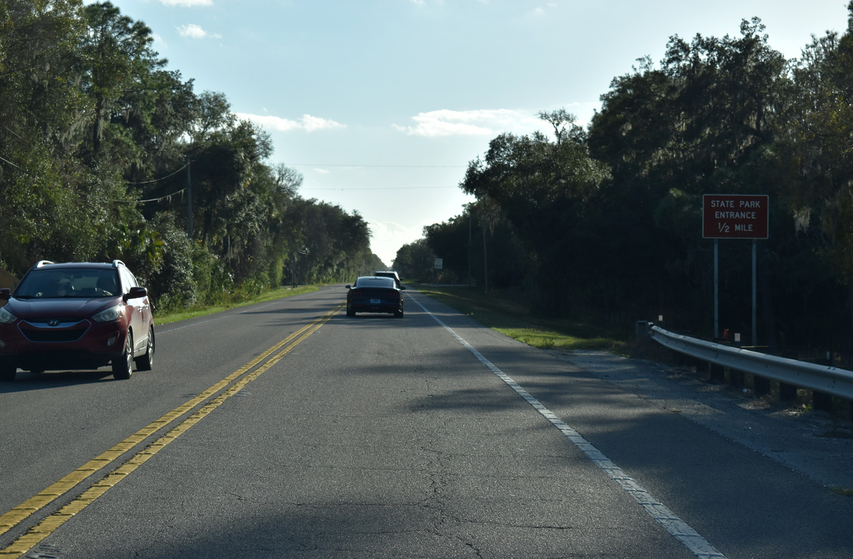
| The entrance to Hillsborough River State Park lies on the west side of U.S. 301. 01/01/22 |
|
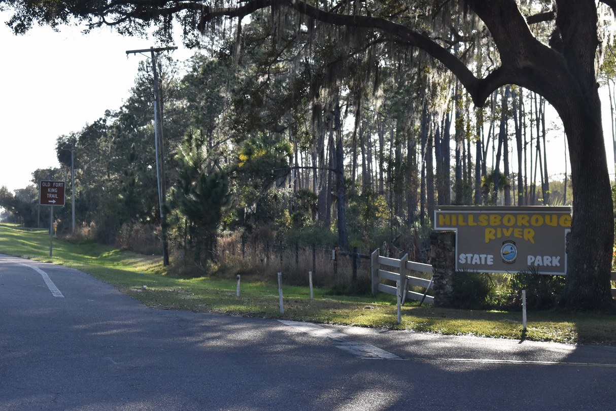
| The Old Fort King Trail parallels U.S. 301 southward from Hillsborough River State Park. 01/01/22 |
|
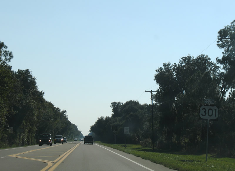
| Southbound reassurance shield (since removed) after the entrance to Hillsborough River State Park. 11/10/07 |
|
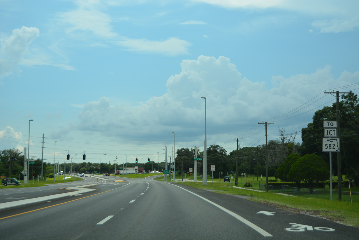
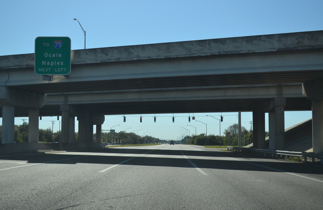
| U.S. 301 widens to a four lane, divided arterial ahead of SR 582 (Fowler Avenue). SR 582 branches west 7.8 miles to the north side of Tampa. 06/28/16 |
|
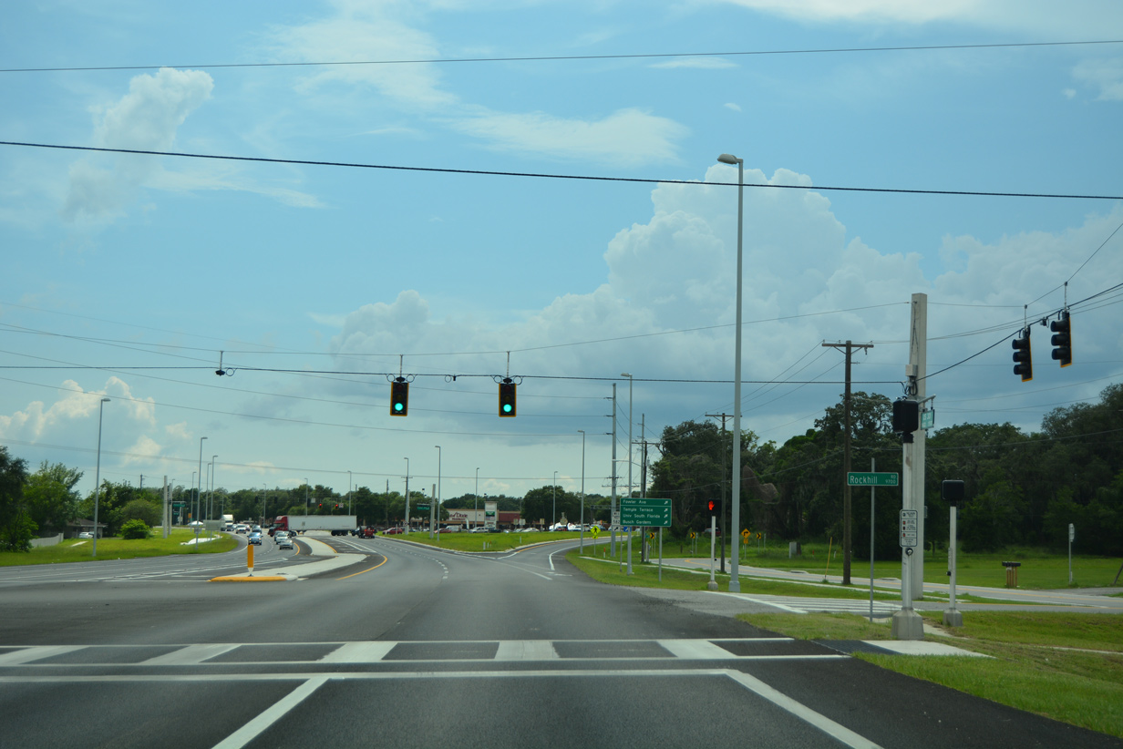
| A traffic light with Rockhill Road north and the eastern section of Fowler Avenue into Thonotosassa precedes the ramp to SR 582 west. 06/28/16 |
|
| A major arterial west to Tampa, State Road 582 (Fowler Avenue) connects U.S. 301 south with the city of Temple Terrace, the Busch Gardens theme park and the University of South Florida (USF). 06/28/16 |
|
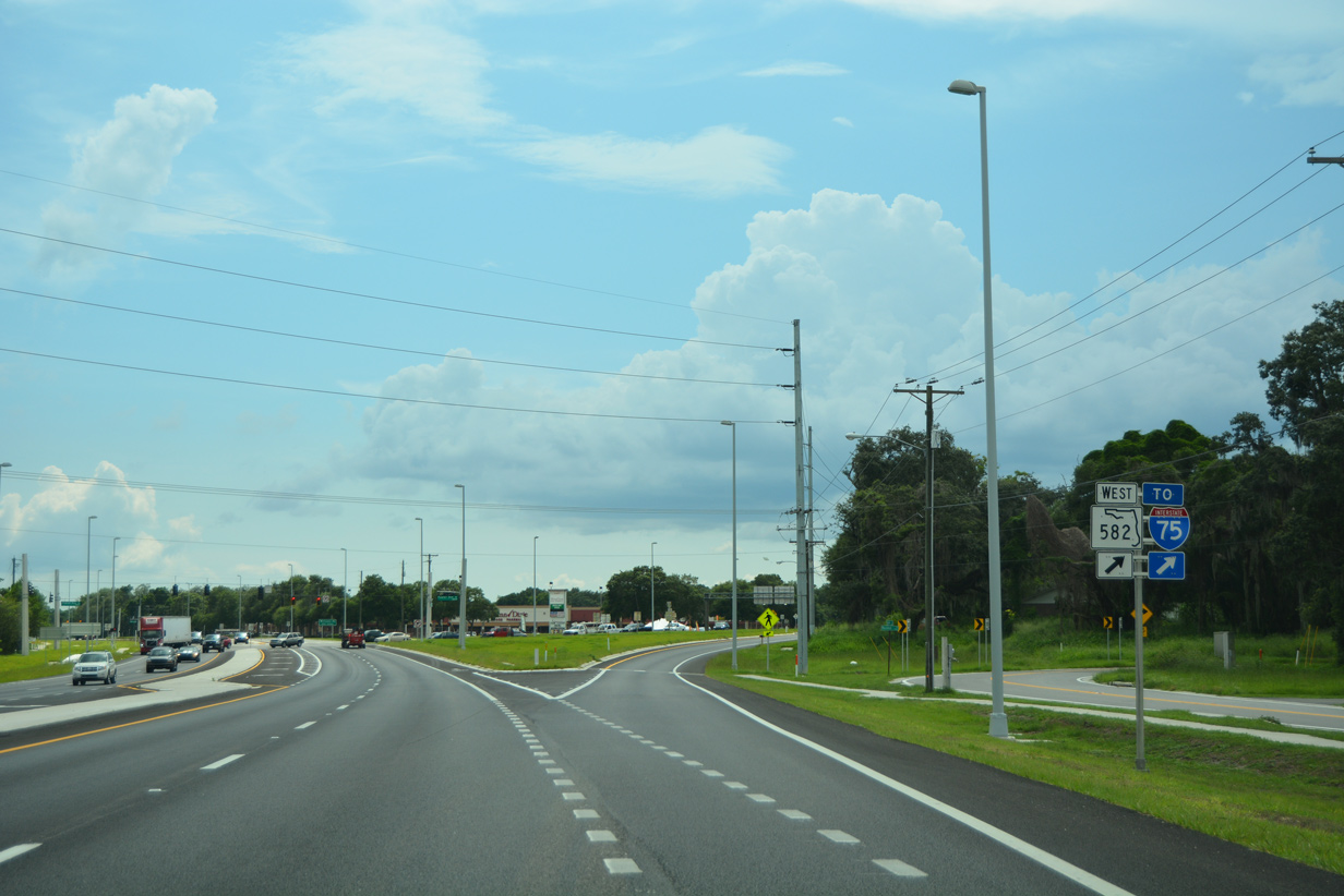
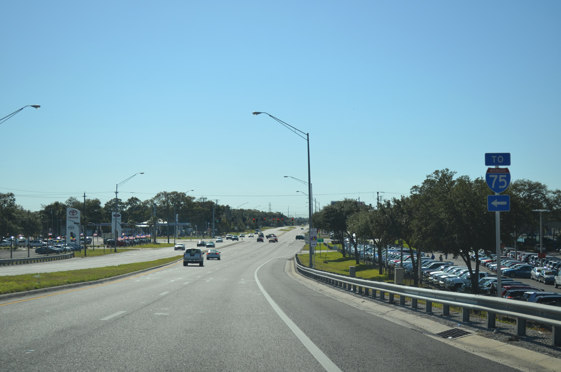
| SR 582 links U.S. 301 with Interstate 75, 1.1 miles to the west. 06/28/16 |
|
| Confirming marker for U.S. 301 posted south of SR 574 (Dr. Martin Luther King, Jr. Boulevard). 01/19/14 |
|
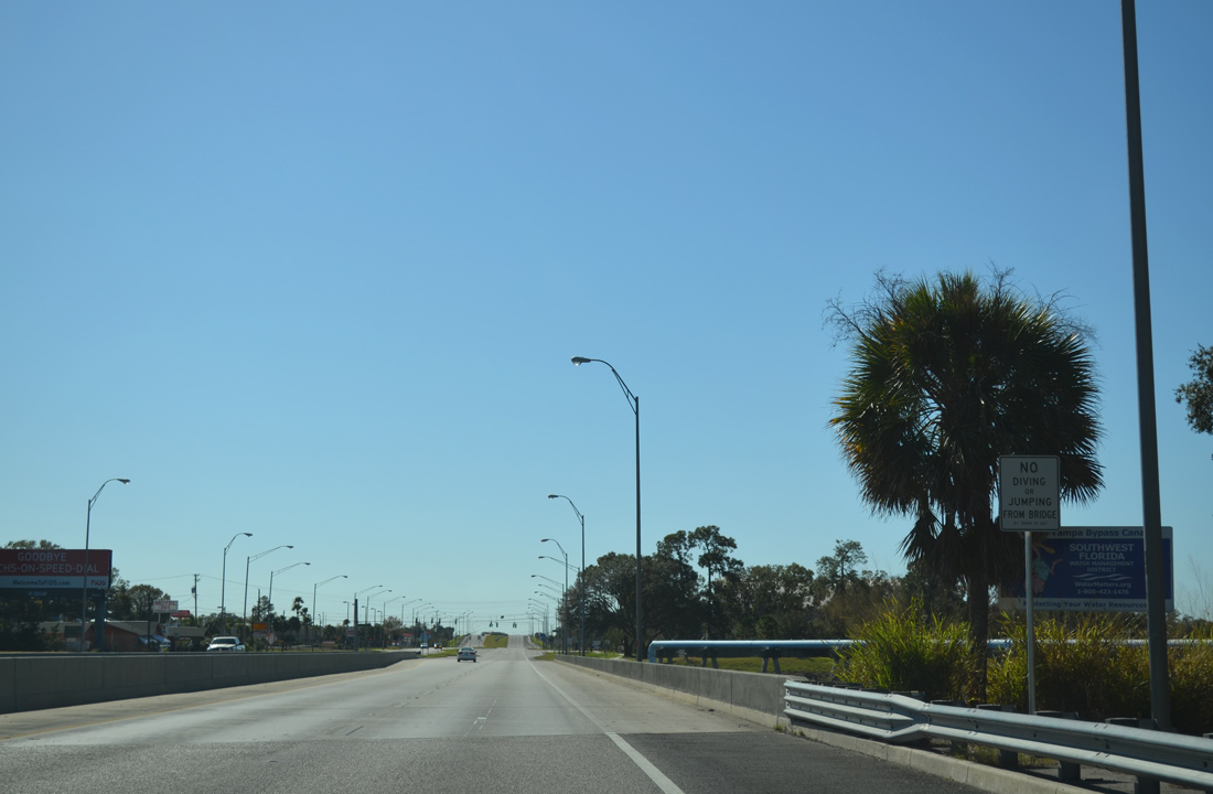
| Advancing south, U.S. 301 crosses the Tampa Bypass Canal. 01/19/14 |
|
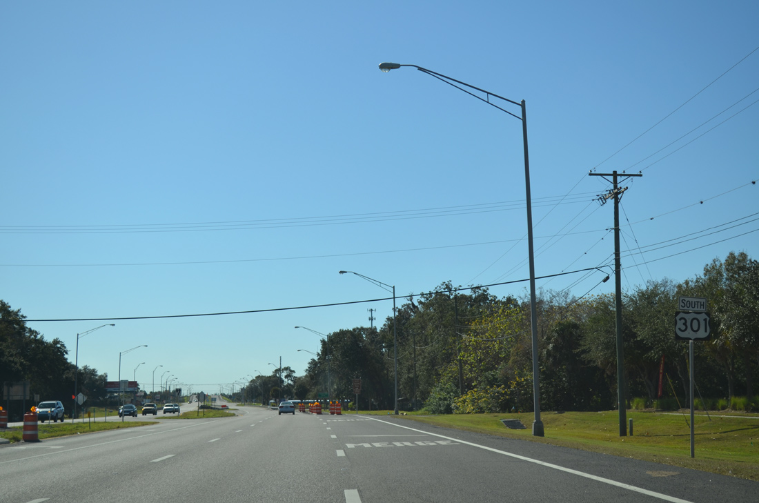
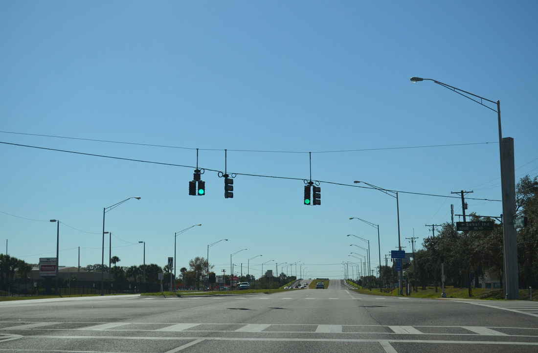
| A traffic light operates at U.S. 301 and Sabal Industrial Boulevard. Sabal Park is an industrial park occupying land between U.S. 301 and Falkenburg Road to the east. 01/19/14 |
|
| U.S. 301 elevates over both Hillsborough County Road 574 (Broadway) and a CSX Railroad line south of 21st Avenue. 01/19/14 |
|
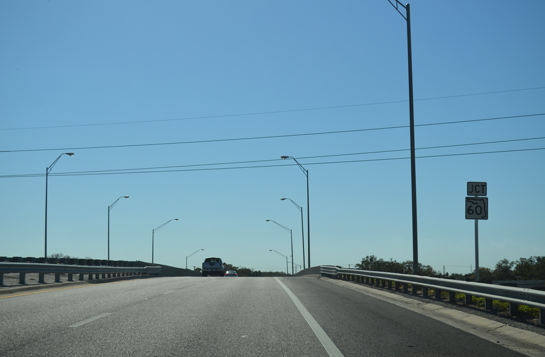
| Curving eastward, U.S. 301 passes by Tampa East Industrial Park to span another CSX Railroad line ahead of SR 60 (Adamo Drive). 01/19/14 |
|
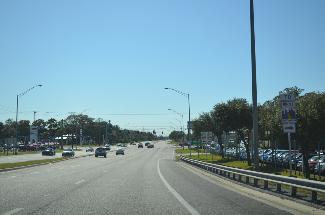
| SR 60 constitutes an industrial arterial west into Tampa while leading east by a number of office parks to Interstate 75 and Brandon. 01/19/14 |
|
| SR 60 provides a more direct route to the LeRoy Selmon Expressway west into Tampa versus staying on U.S. 301 south to SR 618 directly. 01/19/14 |
|
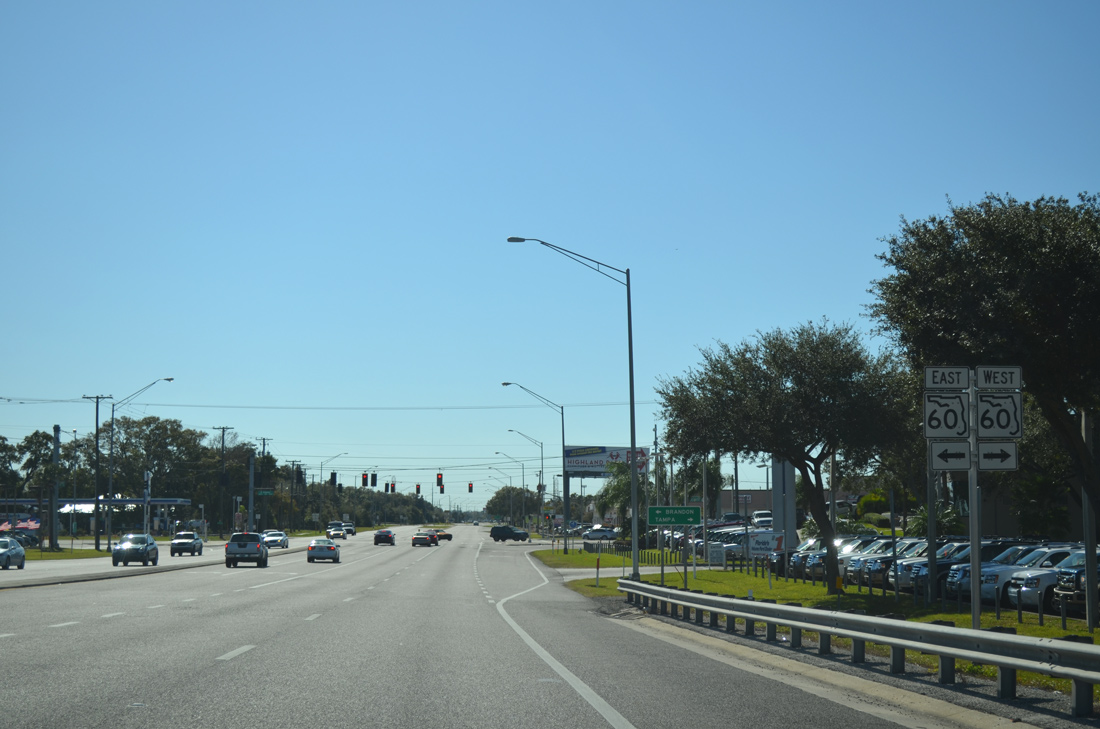
| Traveling 159 miles from Clearwater Beach to Vero Beach, SR 60 parallels the Selmon Expressway west into Downtown Tampa while providing the main route east through unincorporated Brandon. 01/19/14 |
|
| U.S. 301 continues south by Silo Bend Business Park between SR 60 and Palm River Road. 01/19/14 |
|
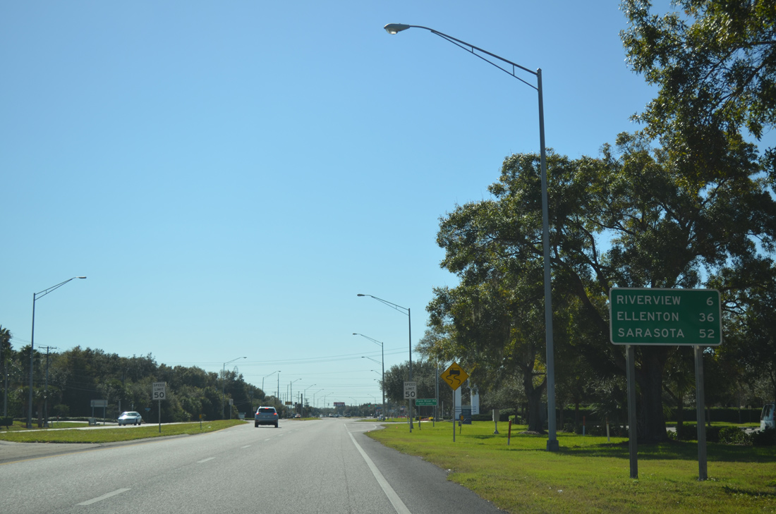
| Riverview, an unincorporated community south of Brandon, lies six miles to the south along U.S. 301. Ellenton is in Manatee County while Sarasota marks the south end o U.S. 301. 01/19/14 |
|
| Palm River Road intersects U.S. 301 west of Falkenburg Road and east from County Road 573 (78th Street). 01/19/14 |
|
| Industrial parks and office buildings give way to apartments and a transmission corridor as U.S. 301 leaves Palm River Road. 01/19/14 |
|
| Formerly the Crosstown Expressway, a diamond interchange joins U.S. 301 with SR 618 (LeRoy Selmon Expressway) west toward Downtown Tampa. 10/16/07 |
|
| New trailblazers for the LeRoy Selmon Expressway were unveiled by the Tampa-Hillsborough County Expressway Authority on July 29, 2008.1 01/19/14 |
|
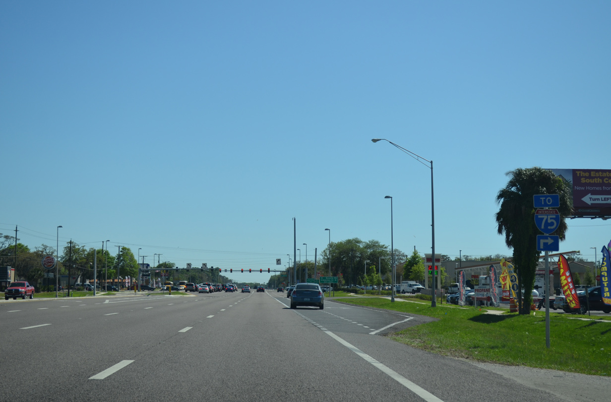
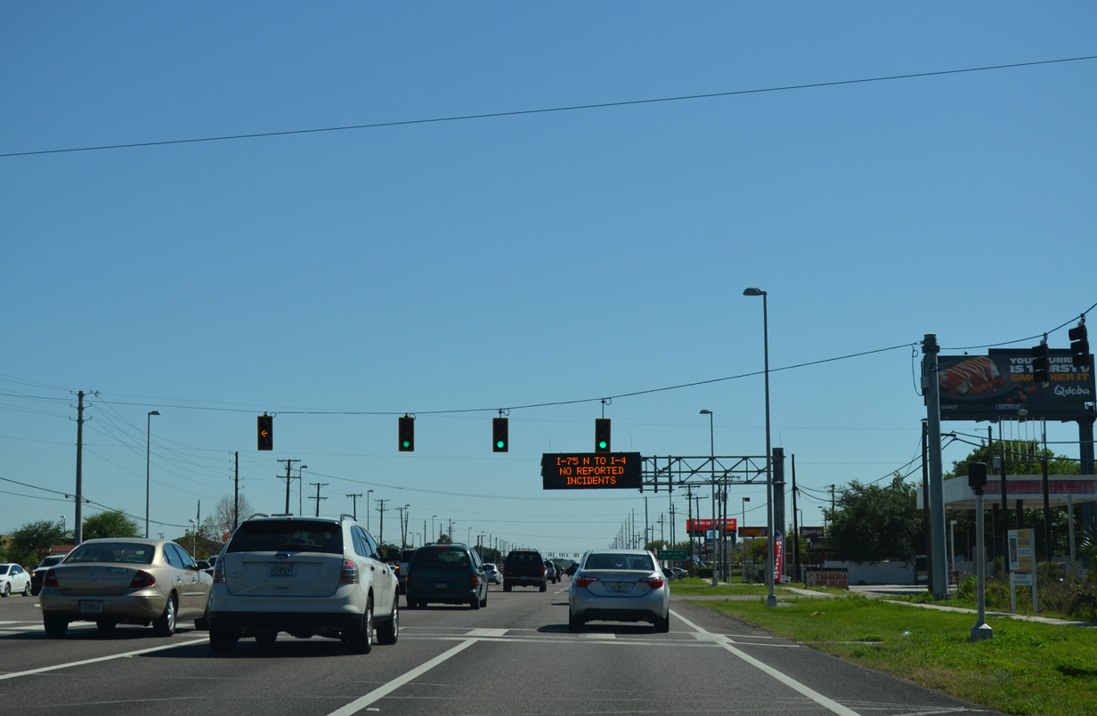
| The entrance ramp for the eastbound Selmon Expressway links U.S. 301 with Interstate 75. There is no access to the Reversible Express Lanes and Brandon Parkway from U.S. 301. 01/19/14 |
|
| The Selmon Expressway continues a short distance east to Falkenburg Road before entering a trumpet interchange with Interstate 75. 01/19/14 |
|
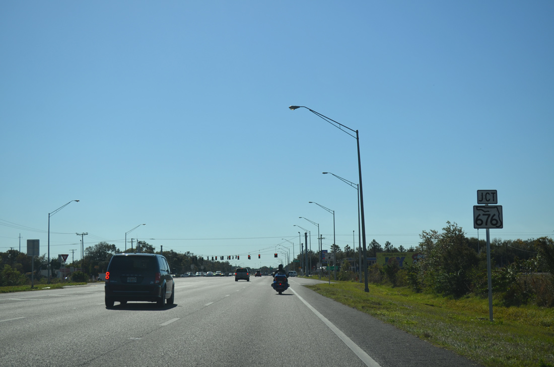
| Just south of SR 618 (Selmon Expressway) on U.S. 301 is the junction with SR 676 (Causeway Boulevard). 01/19/14 |
|
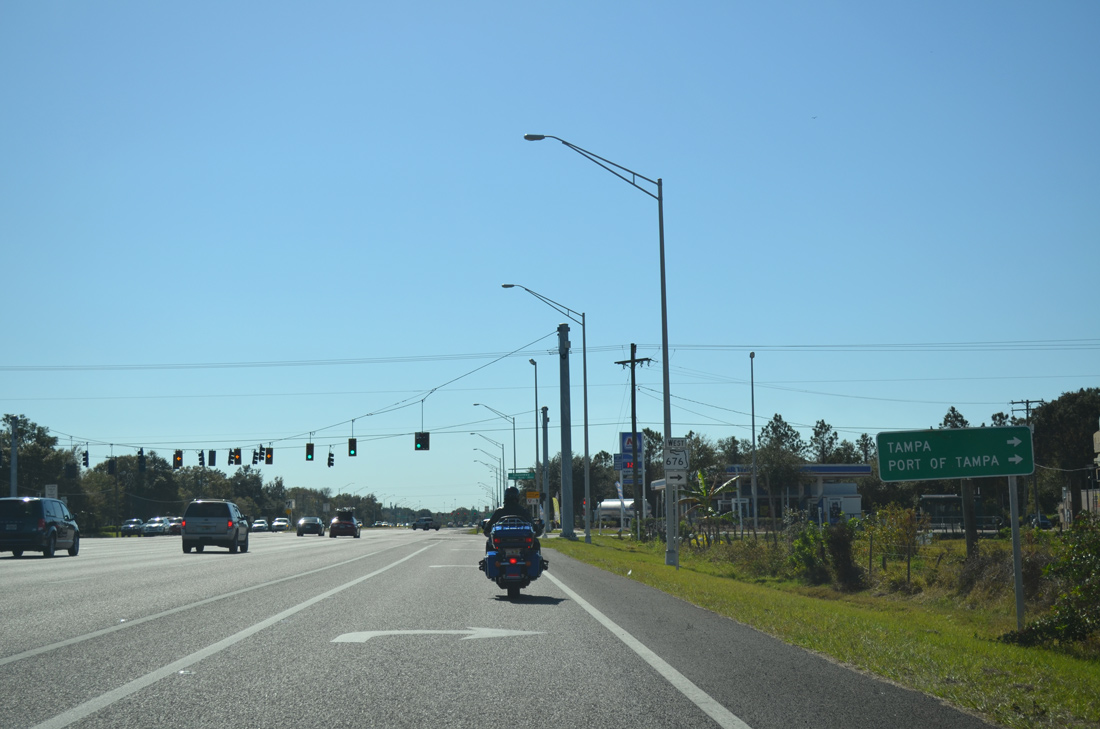
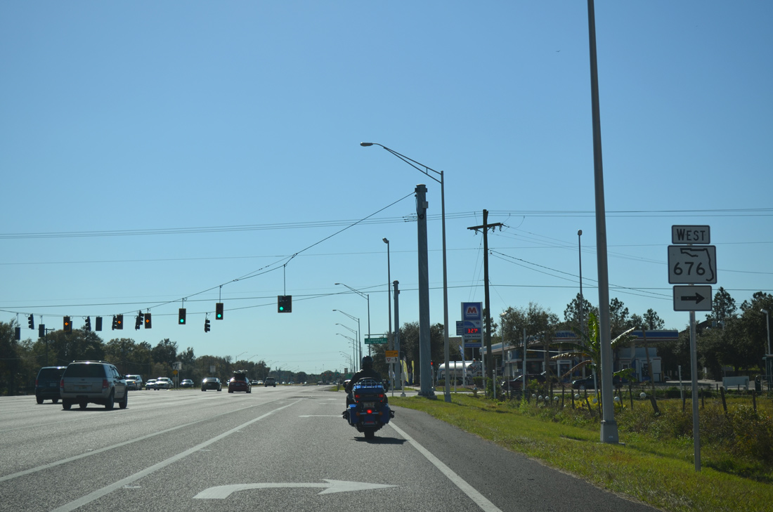
| SR 676 (Causeway Boulevard) links U.S. 301 with U.S. 41 and U.S. 41 Business by Port Tampa Bay. 01/19/14 |
|
| Measuring 3.19 miles in length, SR 676 follows Causeway Boulevard west. Causeway Boulevard east doubles as unsigned County Road 676 for 4.98 miles to Durant Road in Brandon. 01/19/14 |
|
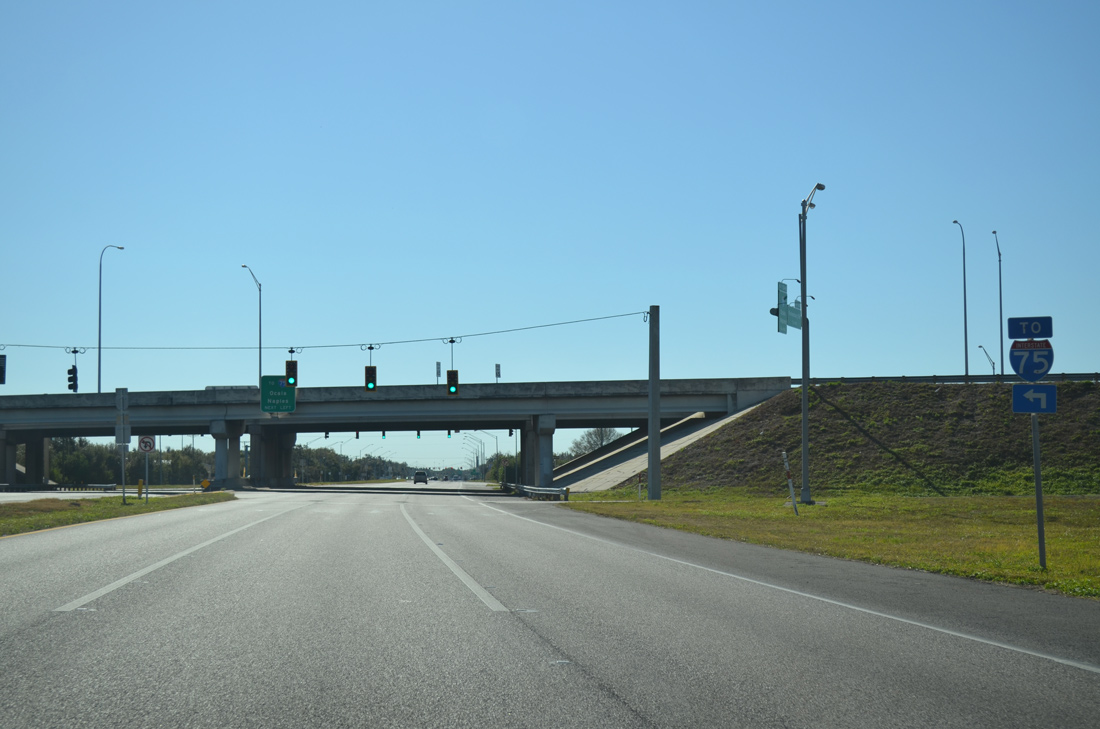
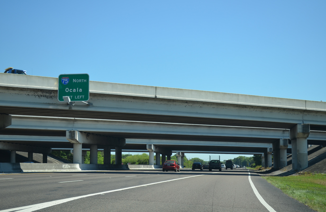
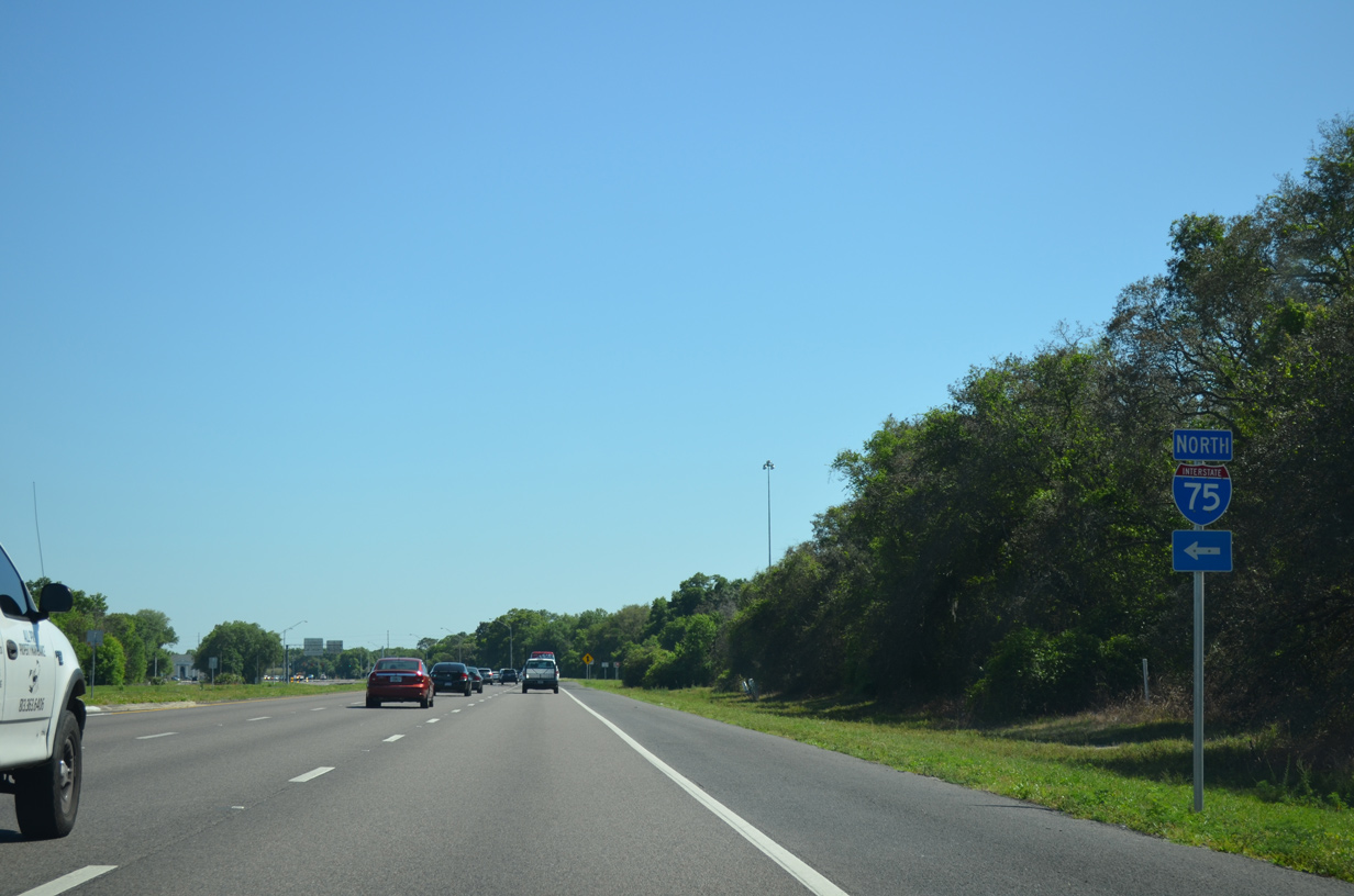
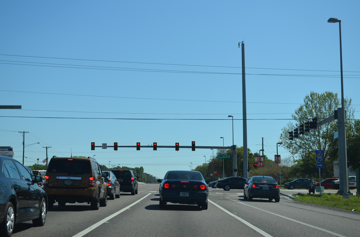
| U.S. 301 bends southeast from SR 676 toward the six-ramp parclo interchange (Exit 254) with Interstate 75. 03/17/15 |
|
| A left turn takes motorists onto Interstate 75 north back to Tampa, Mango and Ocala. 03/17/15 |
|
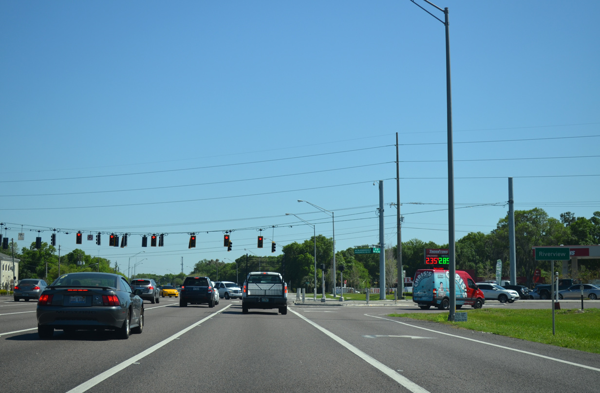
| U.S. 301 enters the unincorporated community of Riverview south of I-75. Progress Boulevard east and Bloomingdale Avenue west come together at the next traffic light. Collectively the arterial route is unsigned CR 676A west to U.S. 41 and east to Lithia-Pinecrest Road (CR 640). 03/17/15 |
|
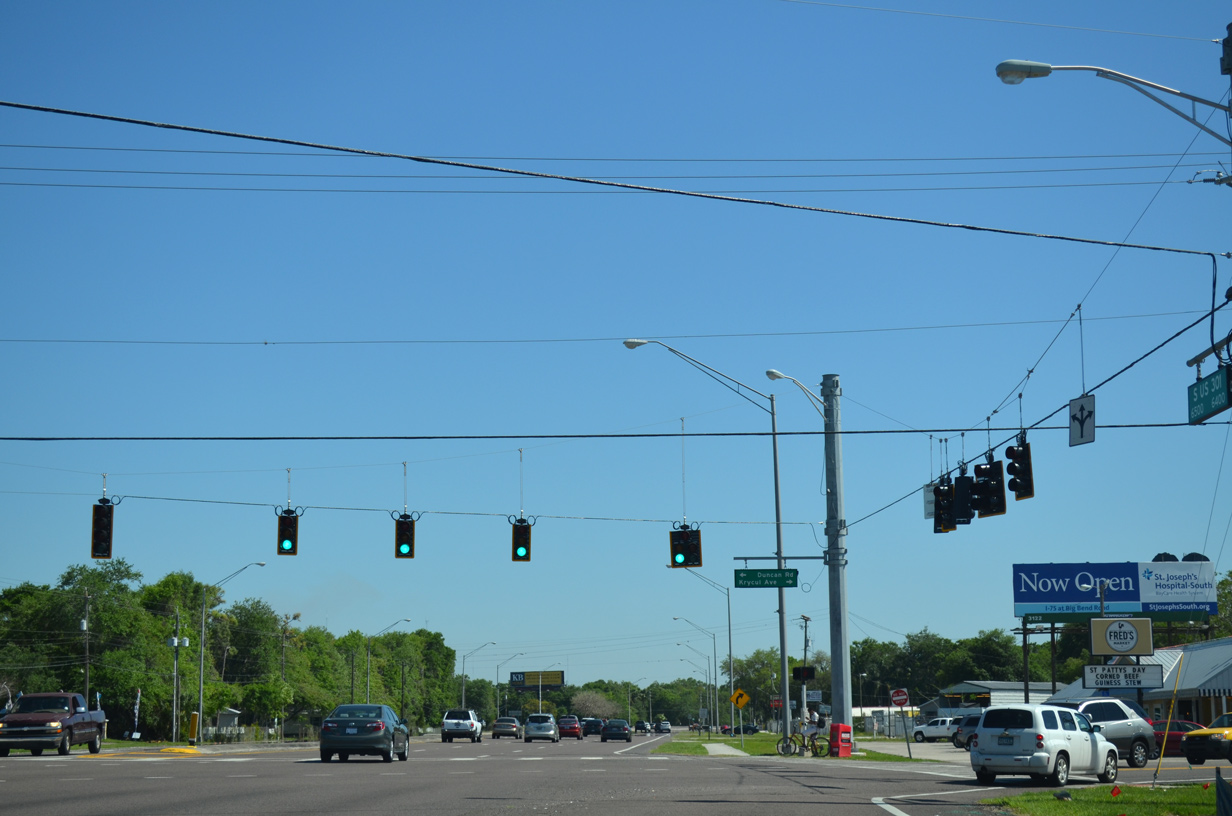
| Krycul Avenue extends Duncan Road south from U.S. 301 as a cutoff to Riverview Drive west. 03/17/15 |
|
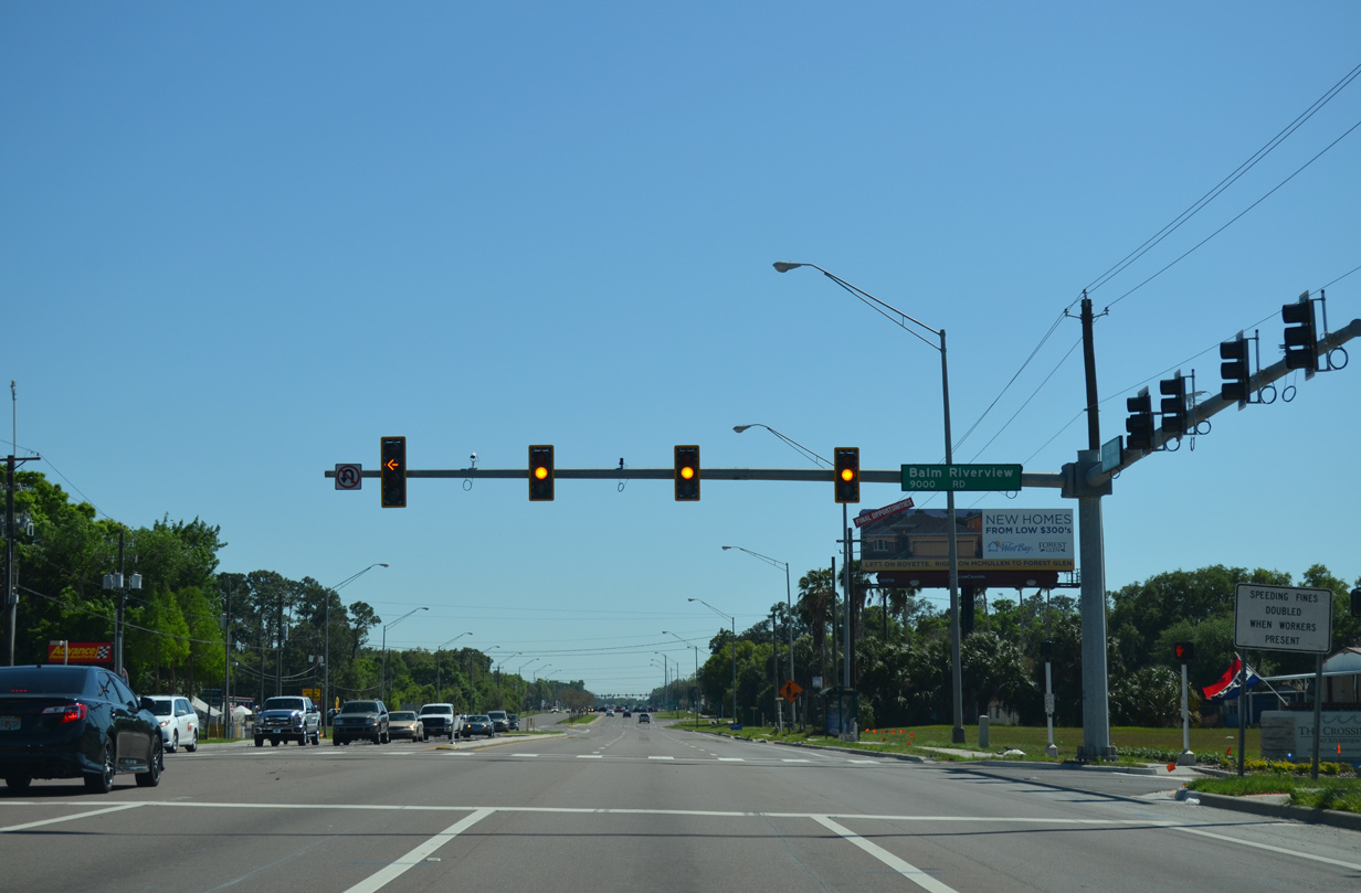
| Balm Riverview Road branches southeast from U.S. 301 through suburban areas of Riverview to end as County Road 672 through the rural community of Balm. 03/17/15 |
|
| Two thirds of a mile south of Balm Riverview Road, U.S. 301 intersects Gibsonton Drive west and Boyette Road east. Gibsonton Drive meets Interstate 75 at a diamond interchange (Exit 250) in one mile. 03/17/15 |
|
| Gibsonton Drive west is an arterial route to U.S. 41 in the unincorporated town of Gibsonton. Boyette Road extends the arterial east through south Riverview to Fishhawk Boulevard east. 03/17/15 |
|
| U.S. 301 maintains six overall lanes leading south from Gibsonton Drive and Boyette Road by a number of manufactured home communities. 03/17/15 |
|
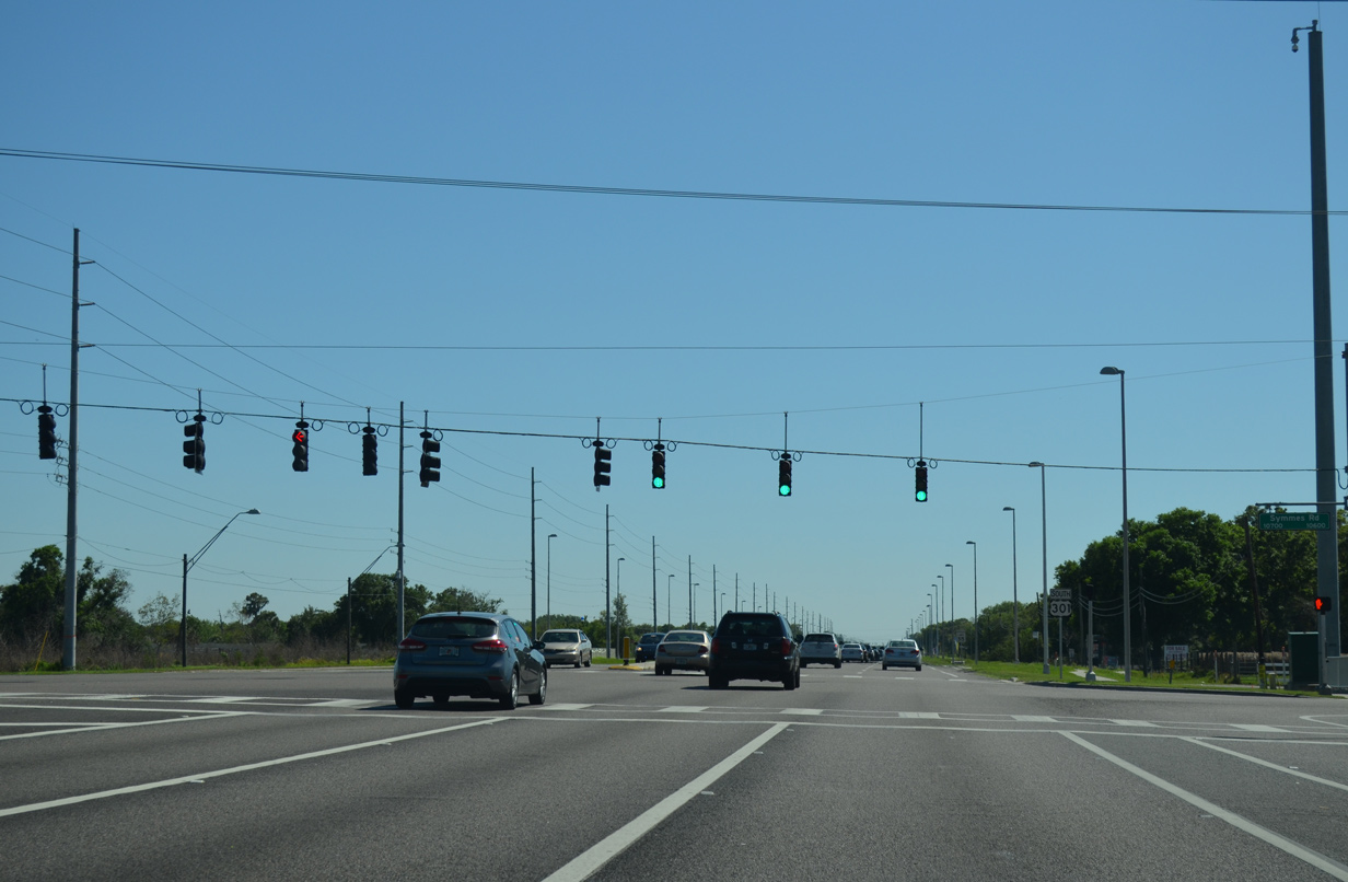
| Symmes Road heads west under I-75 to U.S. 41 near Gibsonton while winding east through suburban development to Balm Riverview Road. 03/17/15 |
|
| U.S. 301 continues as a suburban arterial beyond Symmes Road. 03/17/15 |
|
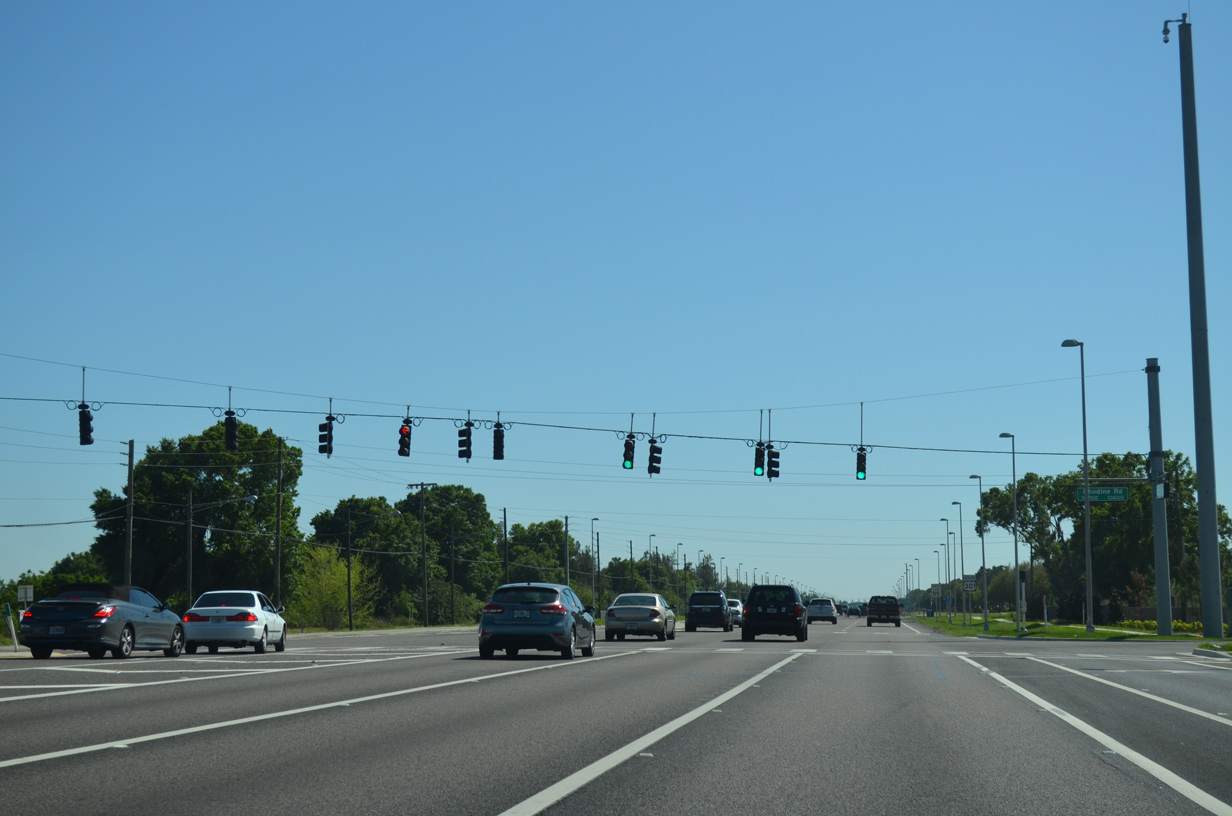
| Rhodine Road runs east from U.S. 301 as a somewhat rural road to Shadow Lake and Boyette Road near Coleman Hammock Preserve. 03/17/15 |
|
| U.S. 301 reassurance marker posted south of Rhodine Road. More heavy development lies ahead. 03/17/15 |
|
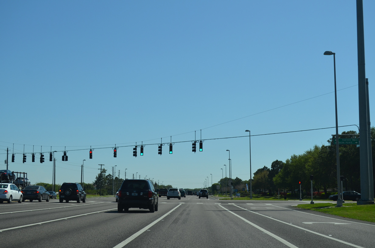
| Southern Point Boulevard west and Panther Trace Boulevard east provide the main entry points from U.S. 301 into adjacent large scale residential tracts by the same name. 03/17/15 |
|
| U.S. 301 advances southward by the Avelar Creek development. 03/17/15 |
|
| Expansion of U.S. 301 to six overall lanes resulted in the signalization of the intersection with Summerfield Crossing Boulevard east. The boulevard arcs southeast by big box retail to Big Bend Road. 03/17/15 |
|
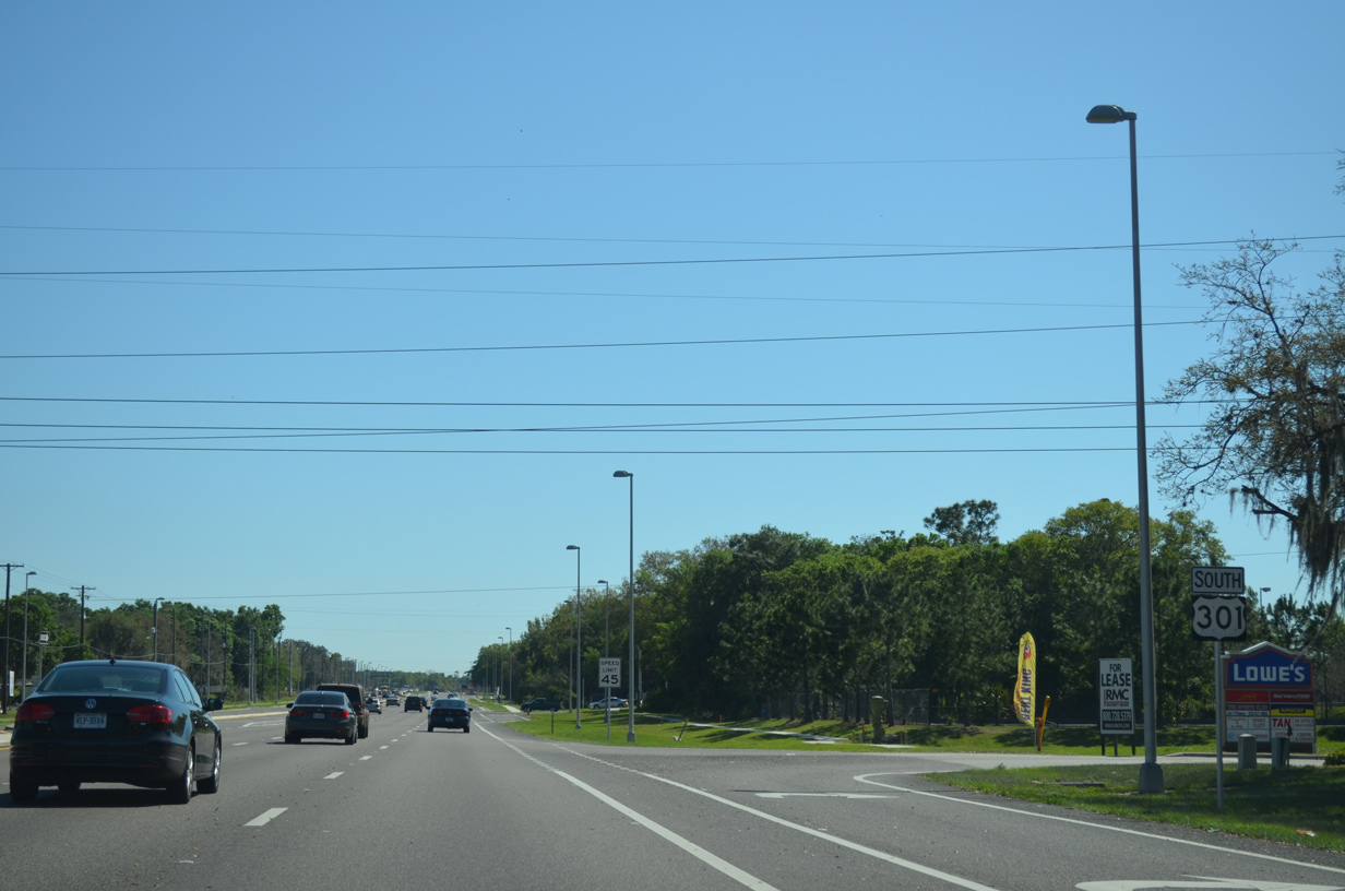
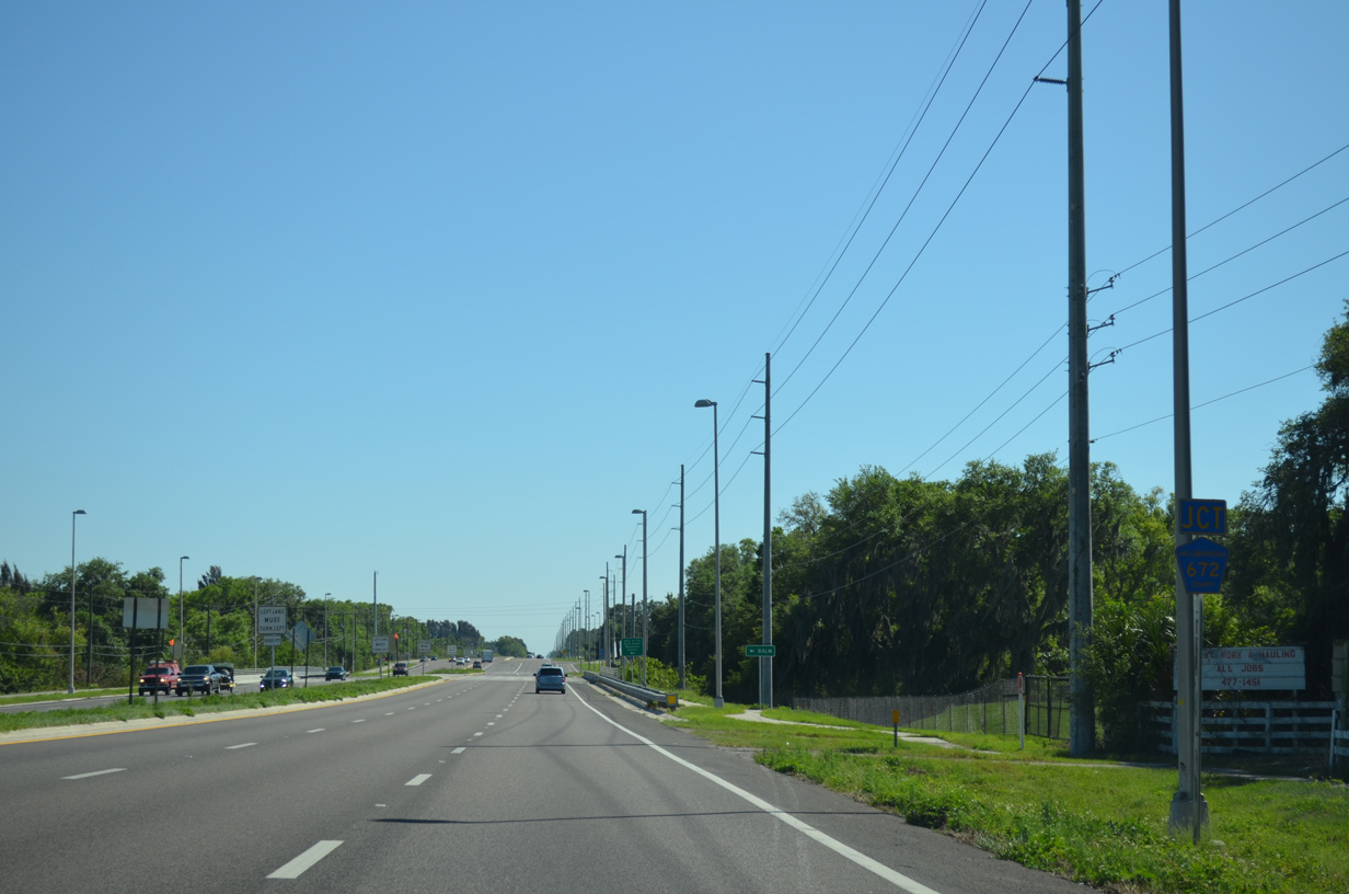
| The commercialized intersection with Big Bend Road follows along U.S. 301 south. County Road 672 lines the arterial west to Interstate 75 (Exit 246) and U.S. 41 (Tamiami Trail) near Adamsville. 03/17/15 |
|
| An implied overlap takes CR 672 east southward along U.S. 301 for 1.5 miles. The county road is vastly unsigned outside of intersections with U.S. 41 and U.S. 301. 03/17/15 |
|
| Additional big box retail fronts U.S. 301 south of Big Bend Road. 03/17/15 |
|
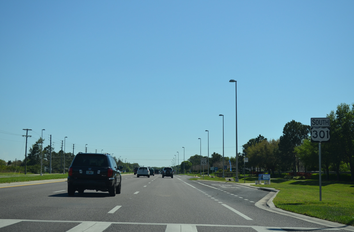
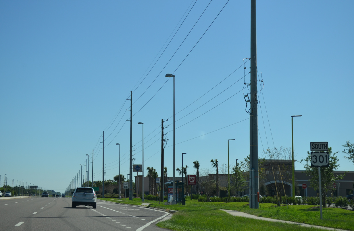
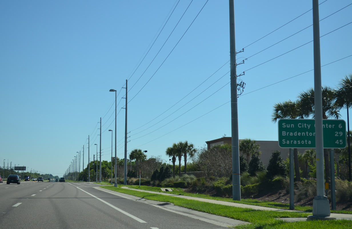
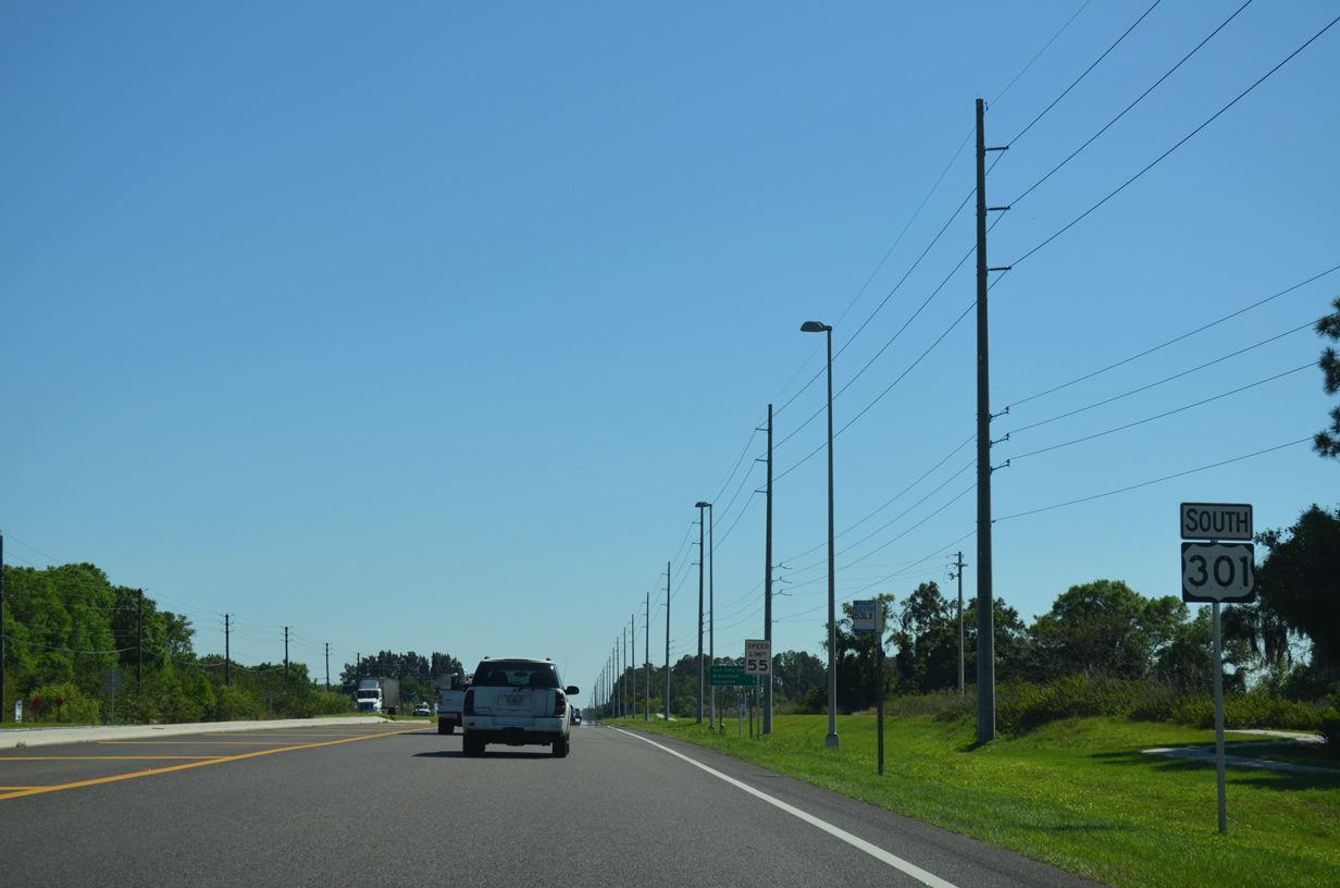
| U.S. 301 advances south from CR 672, 29 miles to Bradenton and 45 miles to Sarasota. 03/17/15 |
|
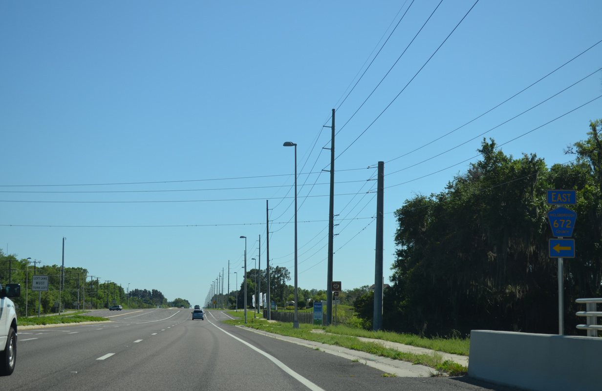
| County Road 672 resumes an eastward heading from U.S. 301 opposite Paseo Al Mar Boulevard, a newer subdivision entry road. 03/17/15 |
|
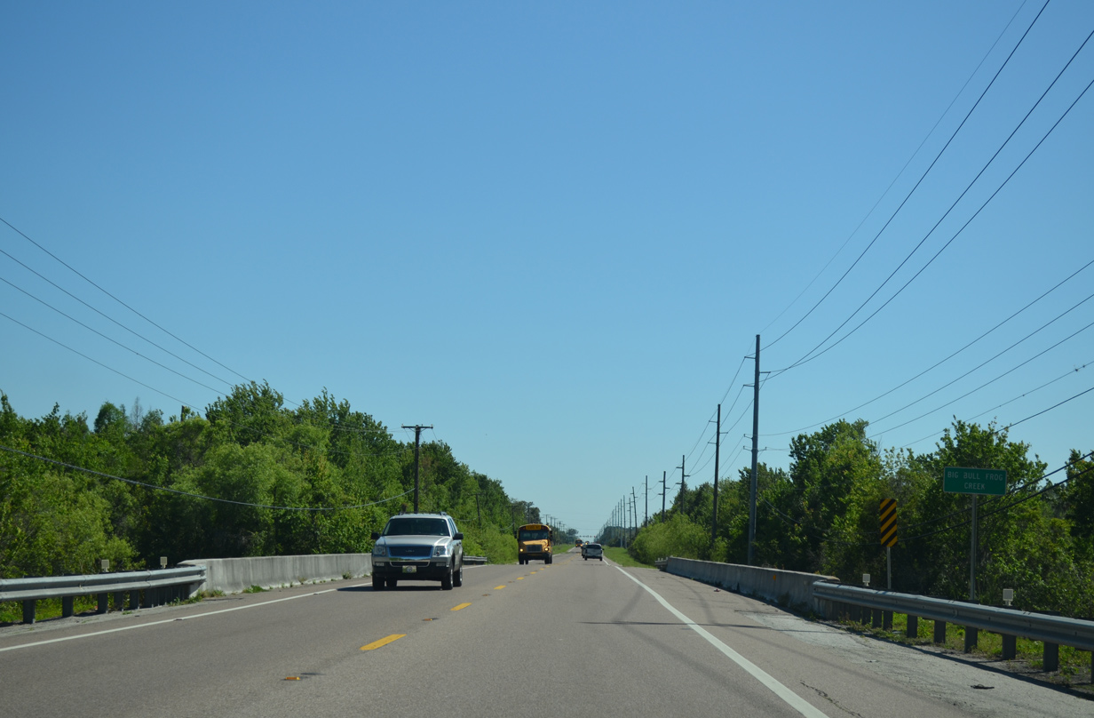
| U.S. 301 crosses Little Bullfrog Creek before splitting with CR 672. The county road runs east from U.S. 301 to Balm-Riverview Road through Balm. 03/17/15 |
|
| CR 672 runs east from U.S. 301 as a rural route beyond adjacent development. The county road lines Balm-Picnic Road east to CR 39 at the rural settlement of Picnic. 03/17/15 |
|
| U.S. 301 previously reduced from a six lane arterial into a two lane rural highway ahead of Bullfrog Creek. 03/17/15 |
|
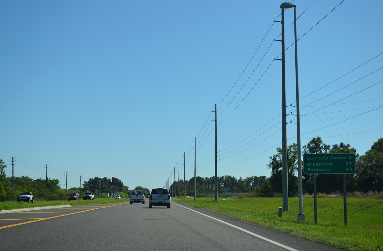
| Substantial development lines U.S. 301 south into Sun City Center. Bradenton, seat of Manatee County, is 27 miles away. 03/17/15 |
|
| The original span for U.S. 301 across Big Bull Frog Creek was built in 1922 and reconstructed in 1971. It was replaced in 2020 during widening of U.S. 301. 03/17/15 |
|
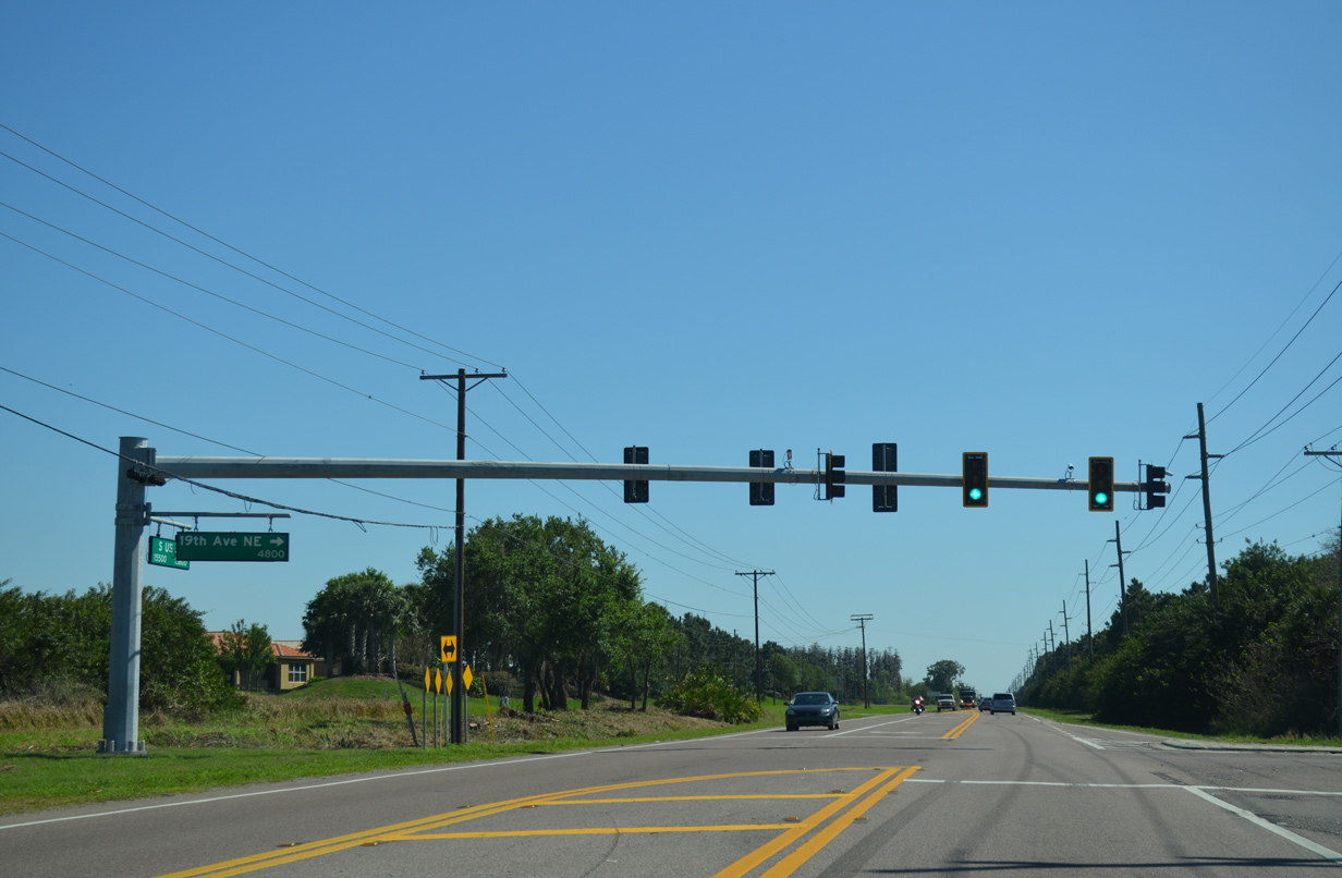
| 19th Avenue NE stems west from U.S. 301 to the Cypress Creek development, northeastern reaches of Ruskin and U.S. 41. The arterial was extended east between the Valencia Del Sol and Valencia Lakes communities. 03/17/15 |
|
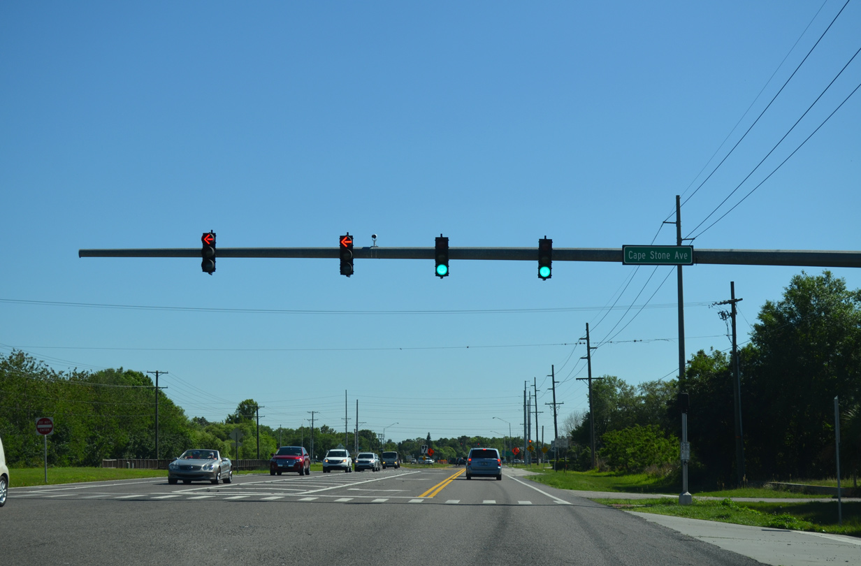
| Cape Stone Avenue spurs east to a park and ride lot, serving an adjacent Wal-Mart en route to Coral Springs Boulevard north and Emerland Blossom Boulevard south. 03/17/15 |
|
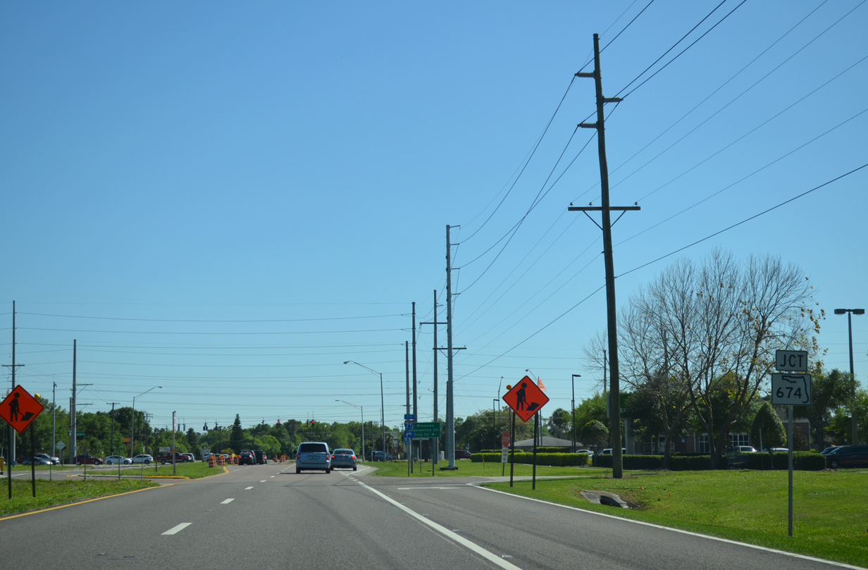
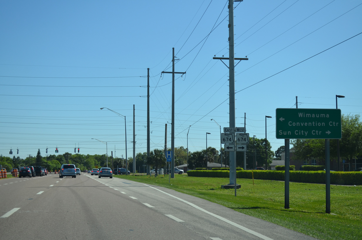
| State Road 674, a 25.51 mile route to U.S. 41 in Ruskin and SR 37 in southwest Polk County, converges with U.S. 301 at Sun City Center. 03/17/15 |
|
| SR 674 west along Sun City Boulevard comprises the main route through Sun City Center to I-75 at Exit 240. East of U.S. 301, SR 674 transitions into a rural highway through the unincorporated town of Wimauma and settlement of Fort Lonesome. 03/17/15 |
|
| Continuing beyond SR 674 (Sun City Boulevard), U.S. 301 shifts southwest between Sun City Center and the Vista Palms development. 11/27/21 |
|
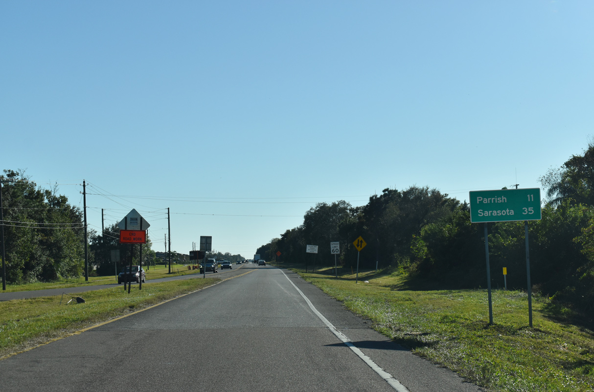
| Palmetto appears on this distance sign at 11 miles out. The Manatee County city is where U.S. 301 combines with U.S. 41 south to span the Manatee River. 11/27/21 |
|
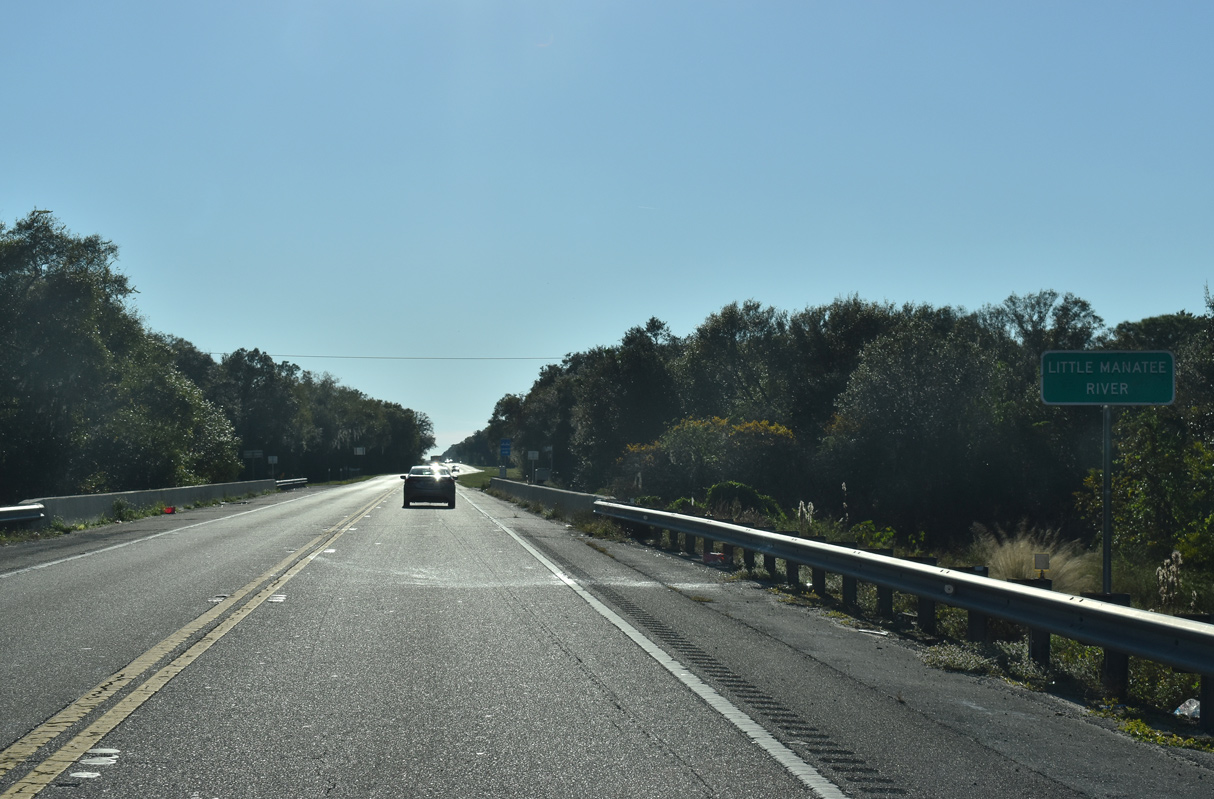
| The bridge spanning the Little Manatee River along U.S. 301 was built in 1971. 11/27/21 |
|
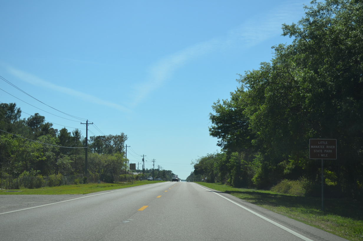
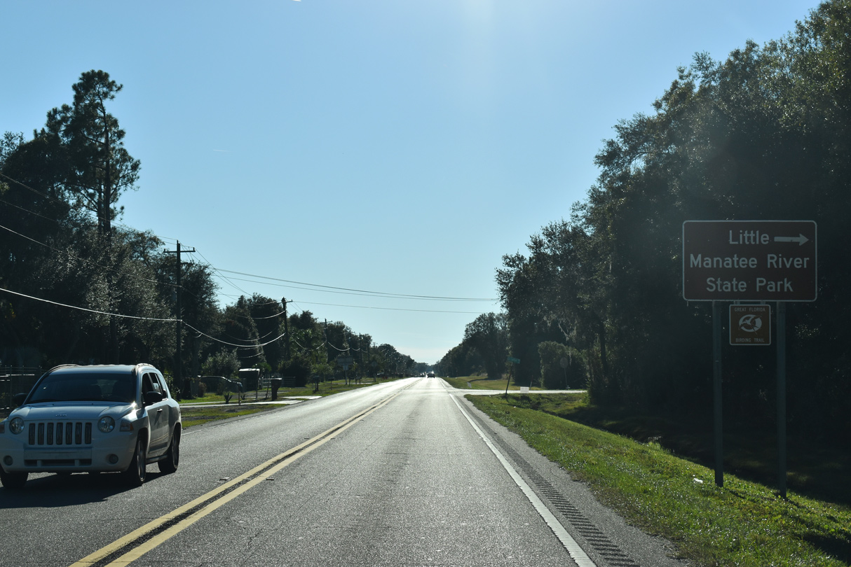
| Turning more westerly, U.S. 301 travels just east of Little Manatee River State Park ahead of the Sundance development. 03/17/15 |
|
| Lightfoot Road stems west from U.S. 301 to Sundance and Little Manatee River State Park. 11/27/21 |
|
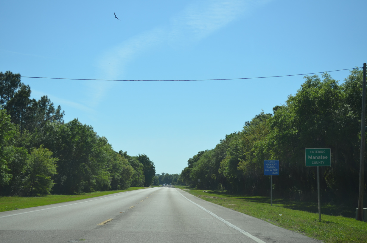
| U.S. 301 southbound enters rural areas of northern Manatee County ahead of the unincorporated town of Parish. 03/17/15 |
Page Updated 01-03-2022.

 South
South