|
| A confirming marker for U.S. 395 Business stands just south of the split with I-580 & U.S. 395 along North Carson Street. 07/23/09 |
|
| Arrowhead Drive west and Medical Parkway east come together at U.S. 395 Business just west of I-580. North Carson Street constitutes a four lane arterial through northern reaches of Carson City. 09/09/05 |
|
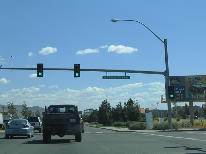
| College Parkway (former SR 531) east from Carson Street to Airport Road (former SR 525) was dropped from the state system following a 2007 proposal for Carson City to take over a number of urban routes from NDOT.1 09/09/05 |
|
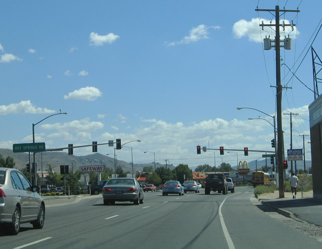
| Hot Springs Road angles southwest from Roop Street to intersect a commercialized stretch of U.S. 395 Business (Carson Street). 09/09/05 |
|
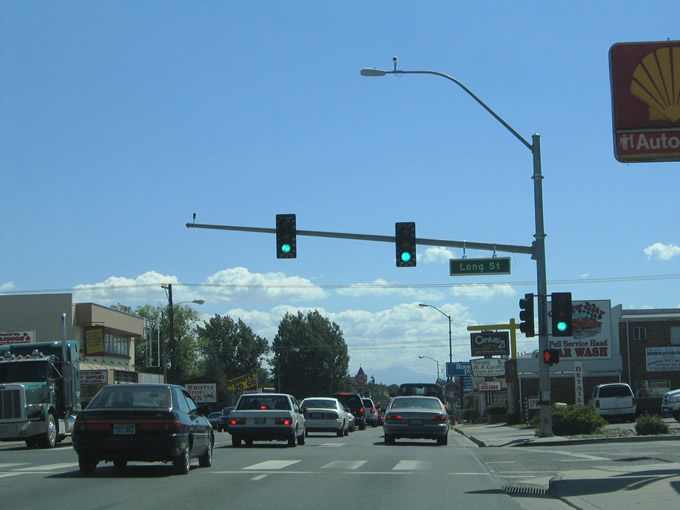
| U.S. 395 Business (Carson Street) advances a half mile south from Hot Springs Road to intersect Long Street. 09/09/05 |
|
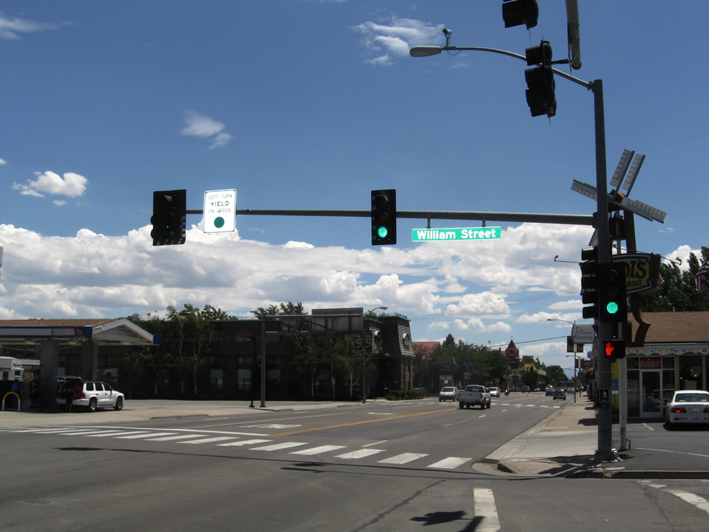
| U.S. 50 west and 395 south used to south from William Street for 3.5 miles. U.S. 50 was relocated from William Street to the I-580 freeway in 2009. William Street was also once SR 530 as well. 09/09/05, 07/19/09 |
|
| William Street forms a five lane arterial linking Downtown Carson City with Interstate 580, U.S. 50 and U.S. 395 at a single point urban interchange (SPUI), 1.4 miles to the east. 07/19/09 |
|
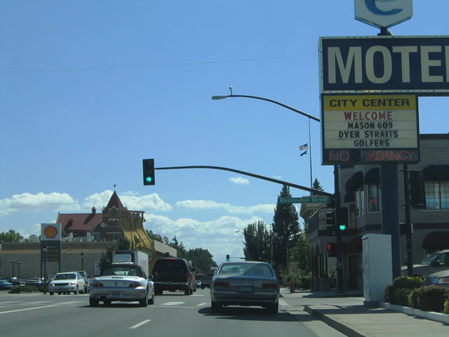
| Washington Street was formerly designated as SR 511 for 0.808 miles west from Carson Street to Ormsby Boulevard (former SR 516). Ormsby was the name of the county that Carson City overtook in 1970. 09/05/05 |
|
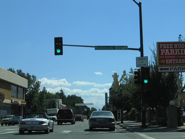
| U.S. 50 Business west & 395 Business south intersect Robinson Street. Robinson Street leads west to the Nevada Governor Mansion and east to Carson High School. 09/05/05 |
|
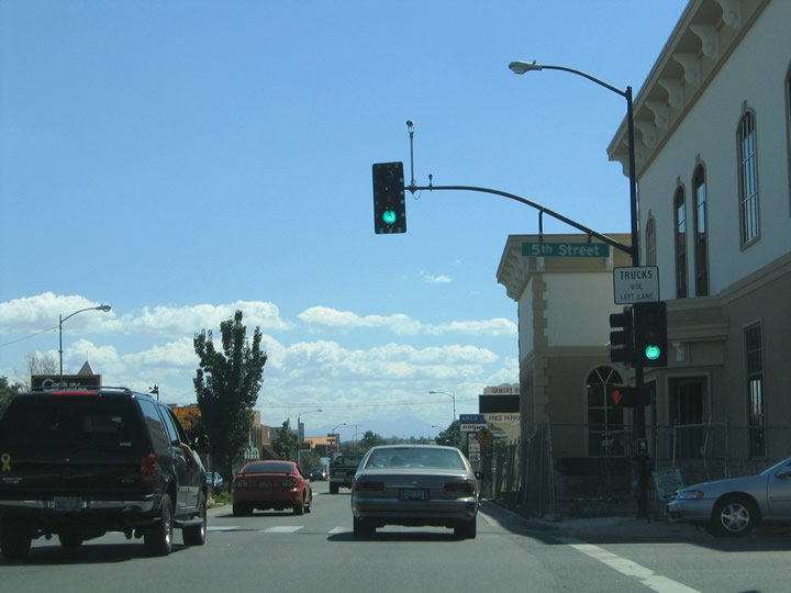
| South Carson Street travels alongside the Nevada State Capitol Grounds from Musser Street south to 5th Street. 5th Street was once SR 513 west to Division Street (old SR 512) and east to Carson River Road. 09/05/05 |
|
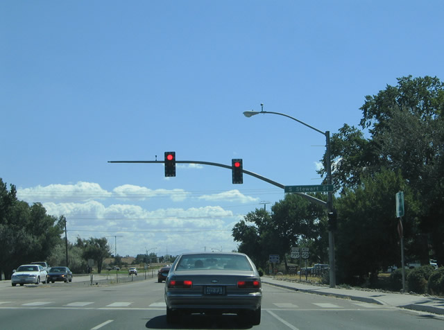
| Stewart Street south converges with South Carson Street from Downtown Carson City. 1.227 miles of Stewart Street, from William Street southward, was previously State Route 520. 09/05/05 |
|
| Reassurance markers for U.S. 50 west & 395 south were posted after the unmarked intersection with SR 520. Trailblazers for the forthcoming intersection with Fairview Drive (temporary U.S. 50/395 east to I-580) replaced these shields by 2011. 09/05/05 |
|
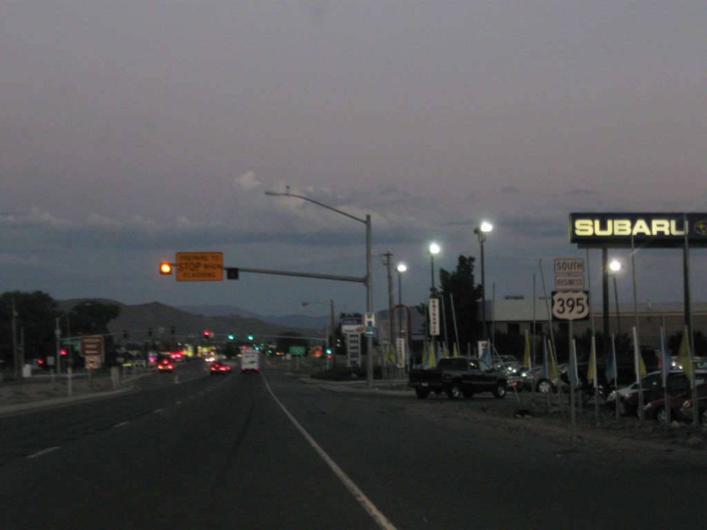
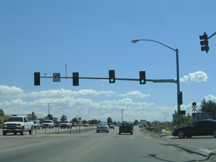
| Fairview Drive stems east from U.S. 395 Business (Carson Street) to temporary south end of Interstate 580. U.S. 50 and 395 were rerouted onto the commercial arterial east prior to the August 2017 completion of I-580 to the south. 09/05/05 |
|
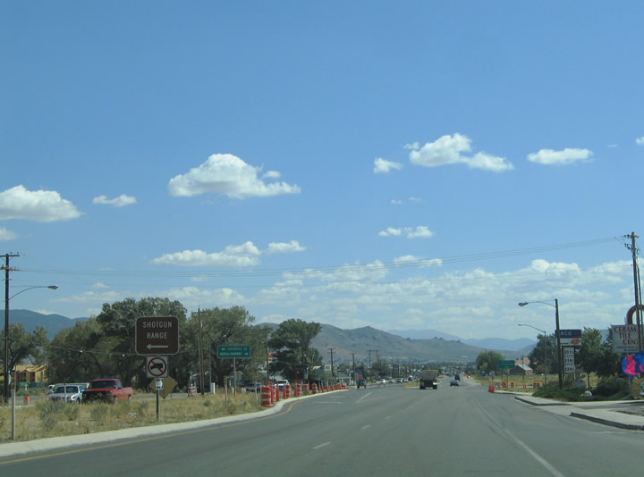
| South Carson Street travels by several big box retail stores and other businesses south to Clearview Drive. 09/05/10 |
|
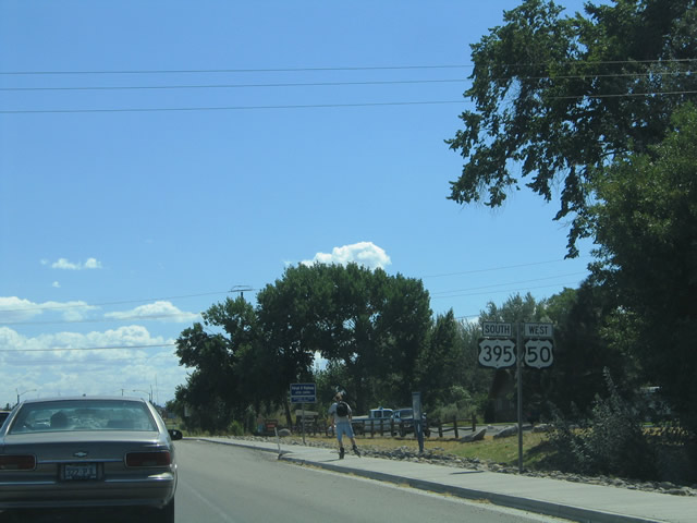
| U.S. 50 Business & 395 Business travel one half mile south from an unmarked intersection with SR 518 (Snyder Avenue) to meet the south end of the Carson City Freeway (I-580). 09/05/10 |
|
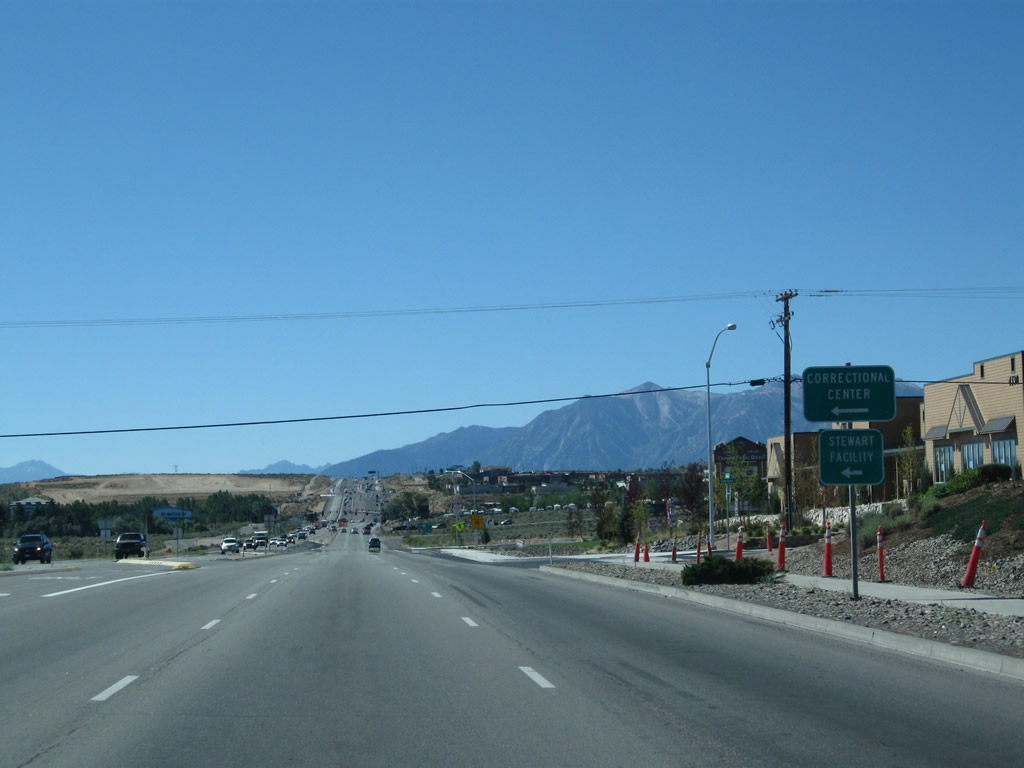
| SR 518 (Snyder Avenue) angles southeast 1.104 miles to the State of Nevada Stewart Facility and Jacobson Way. 09/05/10 |
|
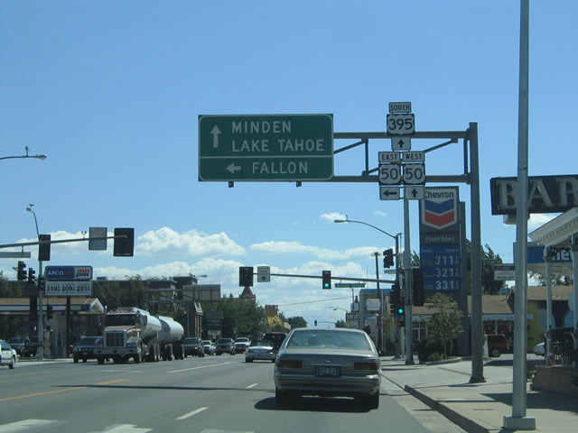
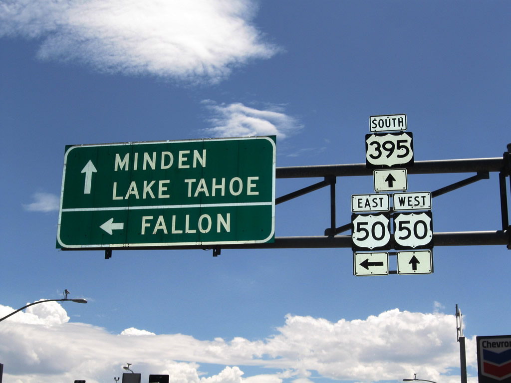
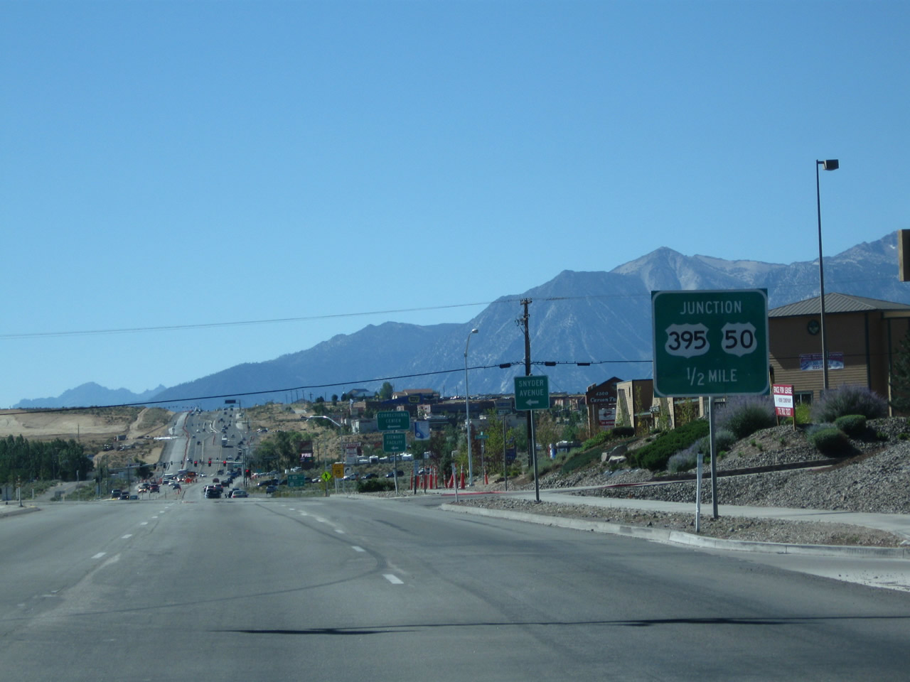
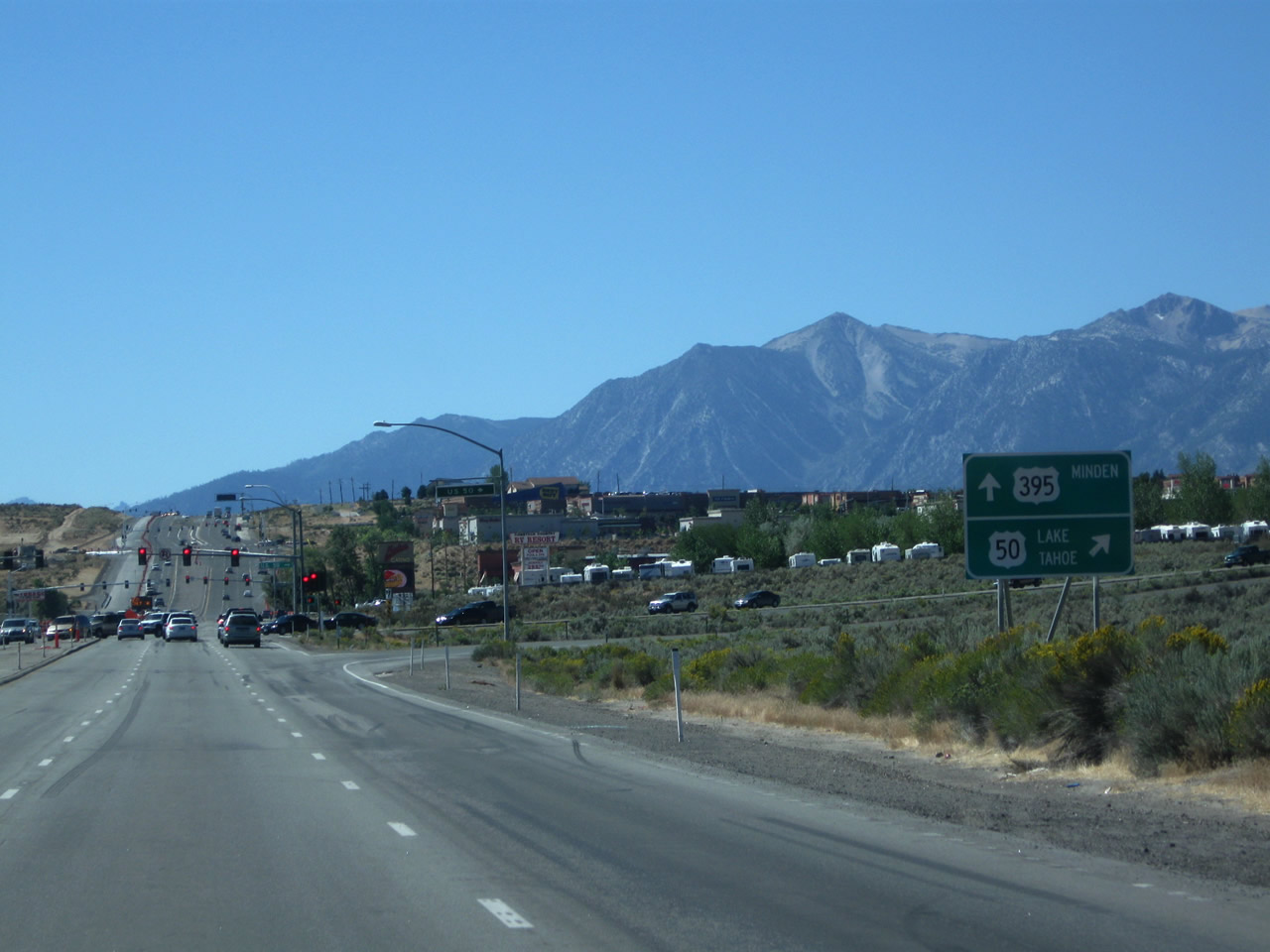
| The business route pair conclude as South Carson Street intersects U.S. 50 leading west toward Spooner Summit (el. 7,146 feet) and the continuation of U.S. 395 south to Indian Hills and Minden. 09/05/10 |
|
| U.S. 50 ventures 10.6 miles west to MSR 28 at Spooner Junction. MSR 28 circles around the north shore of Lake Tahoe to Tahoe City, California. U.S. 50 turns south along the east shore, crossing into South Lake Tahoe, California in 22.3 miles. 09/05/10 |
Page Updated 07-13-2017.