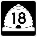
SR 18 is a 51.01 mile long highway through southwestern Utah. Originating at Sunland Drive, just east of Interstate 15 in St. George, SR 18 is the main north-south arterial through the city. With four lanes for the first nine miles, the state route connects Downtown with the northern suburbs of St. Georges, including The Ledges Golf Course area near Snow Canyon State Park. Two interchanges lines this stretch, an inverted single point exchange with Red Hills Parkway, and a dumbbell interchange with Ledges Parkway.
Leading out of St. George, SR 18 makes an S-curve between the Red Mountains and Lava Range into Dammeron Valley. Advancing north from there, the two-lane highway passes by Veyo Volcano (el. 5,223 ft) and crosses the Santa Clara River into the community of Veyo. SR 18 continues to Central and across Dixie National Forest to SR 219 at Enterprise. The northernmost stretch of highway traverses the Escalante Desert to SR 56 at Beryl Junction.
The portion of SR 18 along Bluff Street between Interstate 15 and SR 34 (St. George Boulevard) in St. George is also designated as Business Loop I-15. SR 18 between St. George Boulevard and SR 8 (Sunset Boulevard) was part of the original alignment for U.S. 91 linking St. George with Santa Clara.
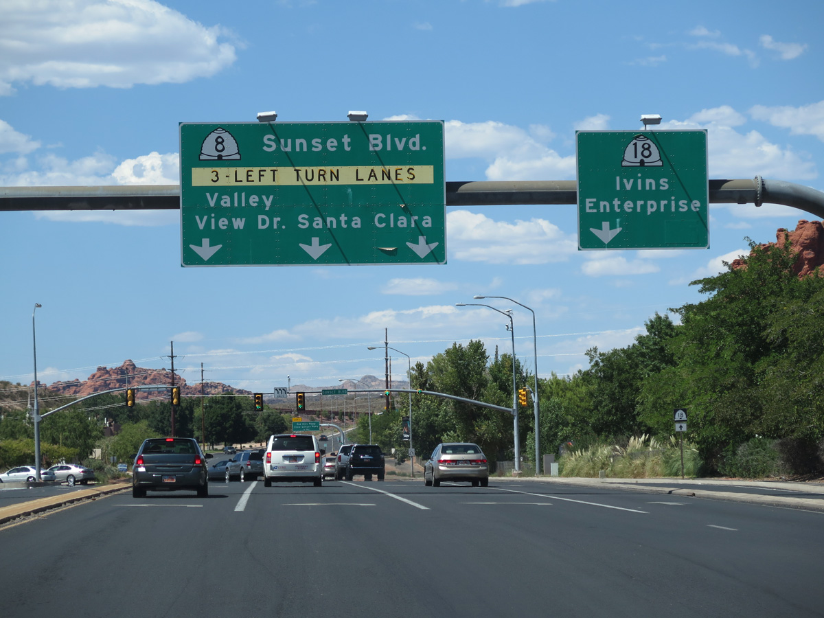
Started in January 2018, a 12 month, $51 million construction project widened SR 18 along Bluff Street to six lanes north from 100 South to SR 8 (Sunset Boulevard) west. Work also redesigned the intersection between Bluff Street and Sunset Boulevard so that main roadway curves west from SR 18 north to SR 8 west, eliminating a triple left turn lane previously in place.1
|
| SR 18 begins at the intersection of East Riverside Drive with Sunland Drive just south of the exchange with Interstate 15 in St. Georges. 08/09/14 |
|
| Bluff Street expands into a four lane, divided arterial. The diamond interchange with Interstate 15 was rebuilt in 2009. 08/09/14 |
|
| Interstate 15 constitutes a commuter freeway for St. George south to SR 7 (Southern Parkway) and north to SR 9 in Washington. 08/09/14 |
|
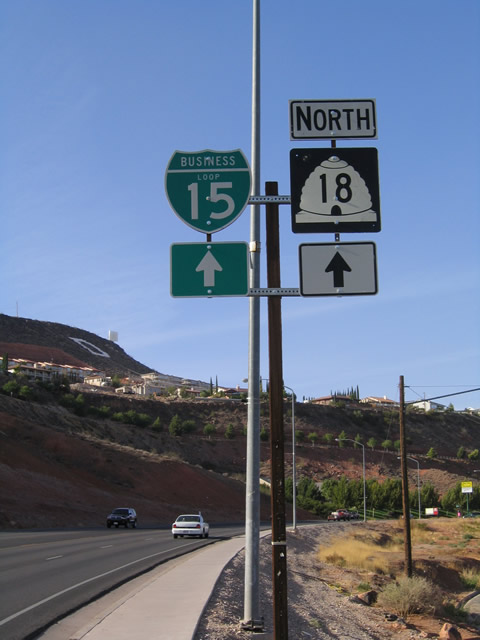
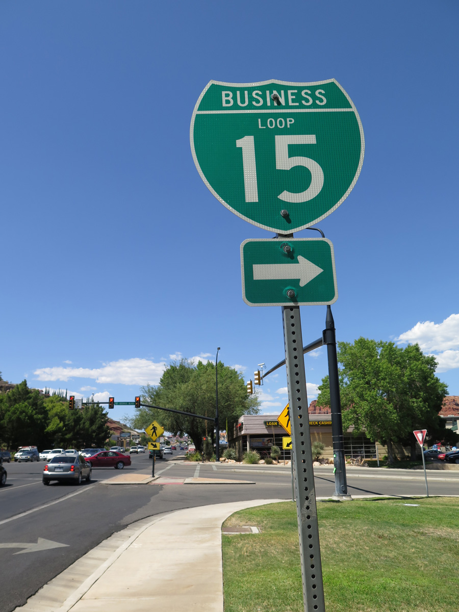
| Business Loop I-15 accompanies SR 18 (Bluff Street) north from I-15 to Downtown St. George. 08/09/14 |
|
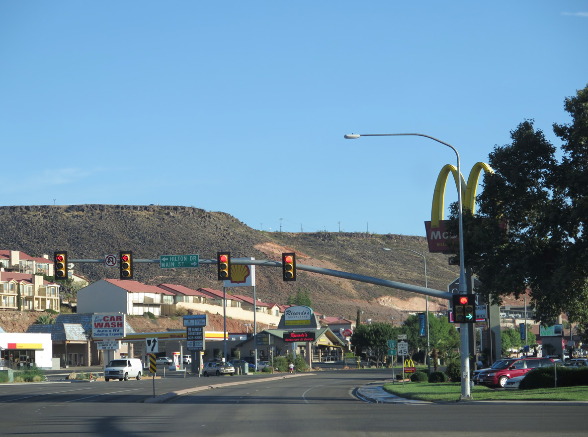
| Bluff Street intersects Black Ridge Drive south to several auto dealerships and Hilton Drive and Main Street north to adjacent lodging establishments and an RV park. 08/09/14 |
|
| The first confirming markers for both Business Loop I-15/SR 18 stand just beyond Main Street along Bluff Street northbound. 08/13/16 |
|
| Bluff Street advances north as a five lane commercial boulevard toward Downtown St. George and the Red Hills. 08/13/16 |
|
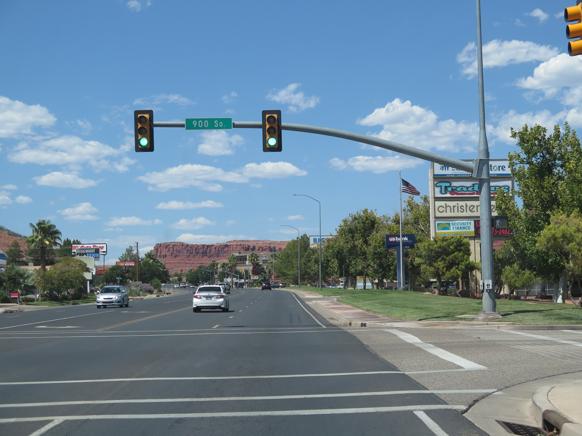
| A traffic signal operates along Bluff Street at 900 South and the entrance to an east side shopping center. 08/13/16 |
|
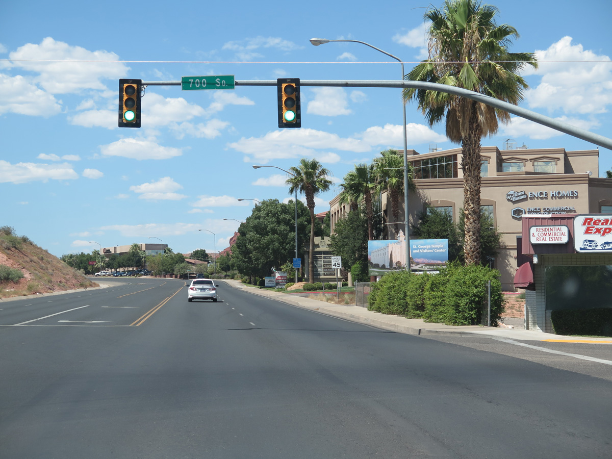
| 700 South stems east from Business Loop I-15/SR 18 (Bluff Street) to Dixie High School and the south side of Dixie State University. 08/13/16 |
|
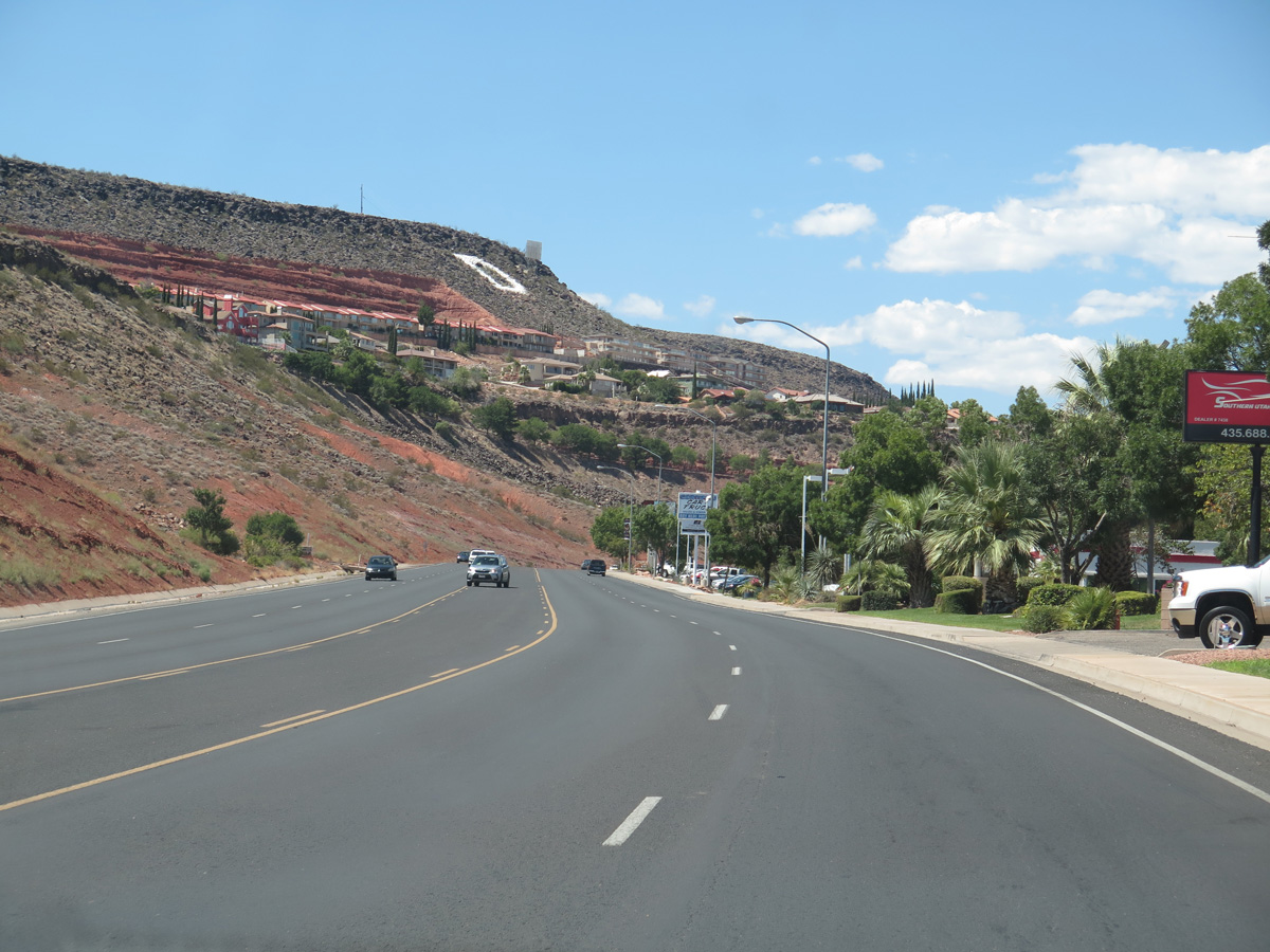
| Bluff Street curves westward below West Black Ridge. A large painted 'D' painted on the hillside stands for Dixie State University. 08/13/16 |
|
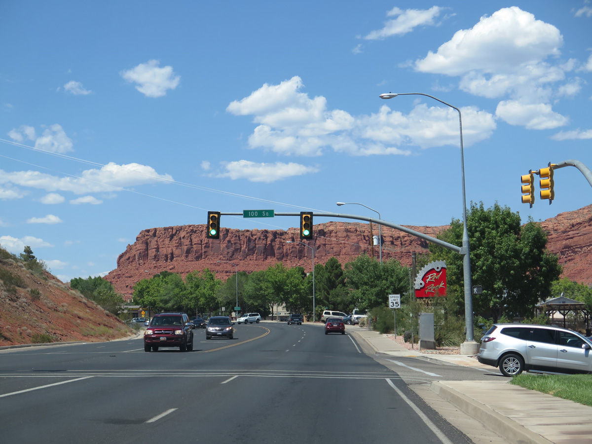
| 1.4 miles north of Interstate 15 along Business Loop I-15/SR 18 (Bluff Street) at 300 South. 10/24/03 |
|
| Approaching the St. George business district on Business Loop I-15/SR 18 (Bluff Street) north at 100 South east. 08/13/16 |
|
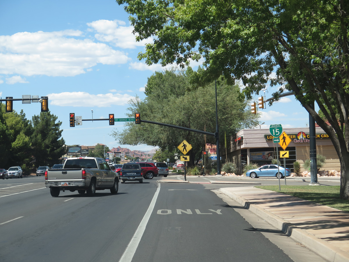
| Business Loop I-15 splits with SR 18 (Bluff Street) north for SR 34 (St. George Boulevard) east through Downtown St. George. The two overlap to a DDI with I-15 at Exit 8. 08/13/16 |
|
| SR 18 (Bluff Road) continues along a commercial strip leading away from Downtown St. George and SR 34. 08/13/16 |
|
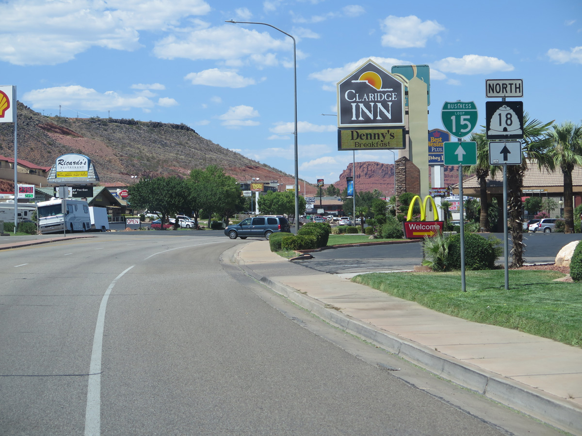
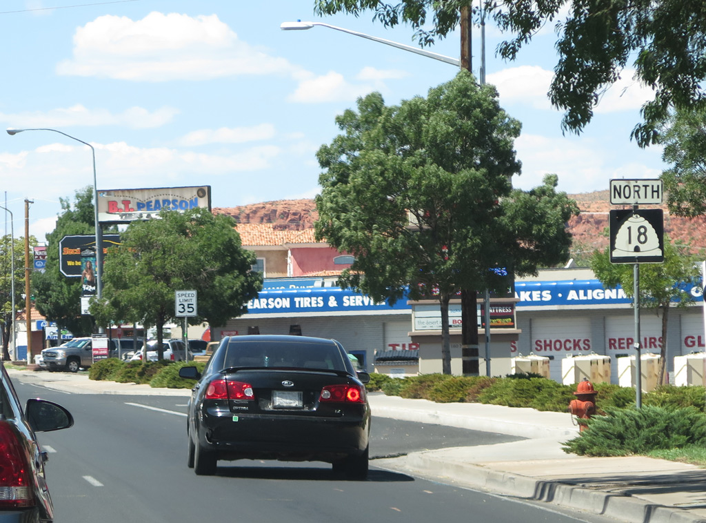
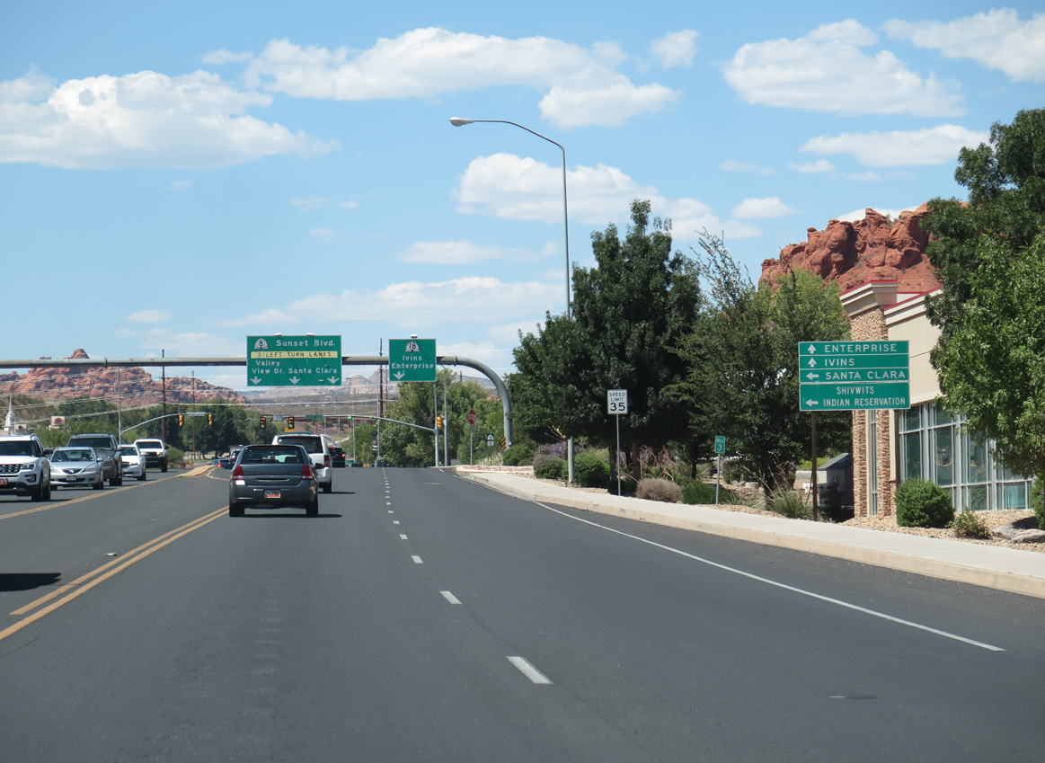
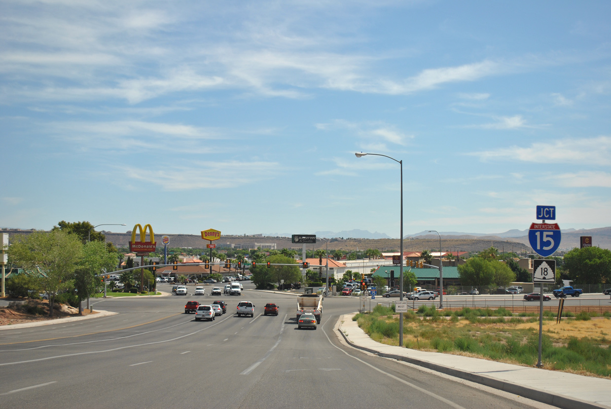
| A guide sign precedes the intersection with SR 8 (Sunset Boulevard) west along SR 18 (Bluff Street) north by Sandtown Park. 08/13/16 |
|
| Sunset Boulevard represents the first leg of the former route of U.S. 91 turning west from St. George to Shivwits. Gunlock Drive branches north from Old Highway 91 to Gunlock Reservoir. 08/13/16 |
|
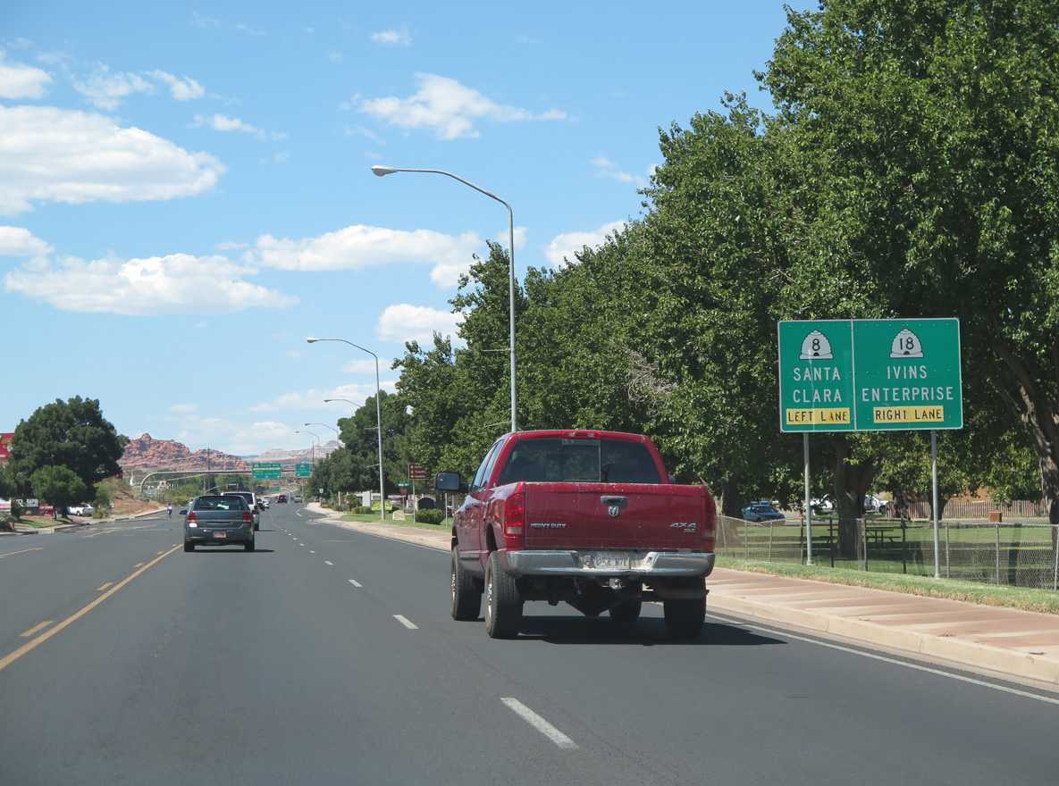
| SR 8 constitutes a 1.303 mile route, following Sunset Boulevard west to Dixie Downs Road. Sunset Boulevard extends a short distance from there into the city of Santa Clara. 08/13/16 |
|
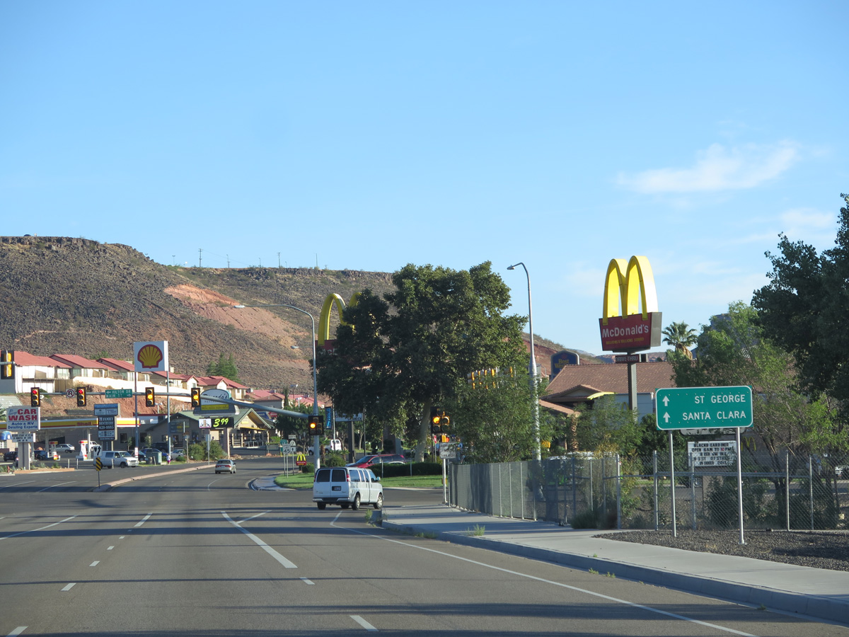
| SR 18 (Bluff Street) north at SR 8 (Sunset Boulevard) west. Valley View Drive ties into Sunset Boulevard nearby from residential areas west of West Black Ridge. 08/13/16 |
|
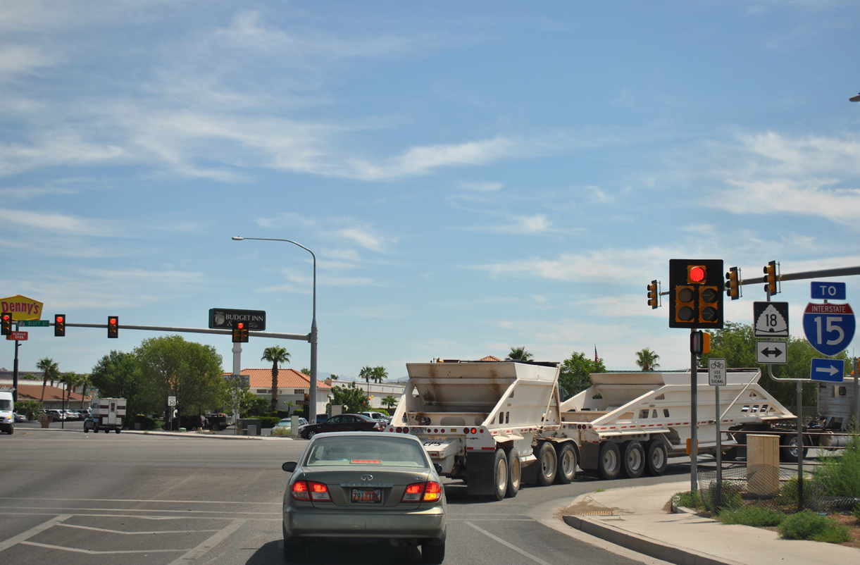
| Construction underway in 2018 reconfigures the intersection at SR 18 and 8 so that the left turn for Sunset Boulevard becomes a through movement. SR 18 will continue north along a bypass lane. 08/13/16 |
|
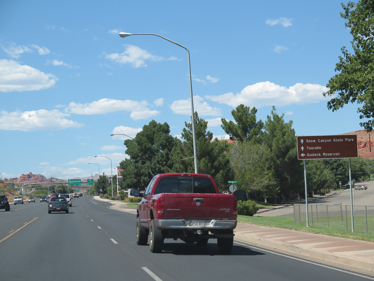
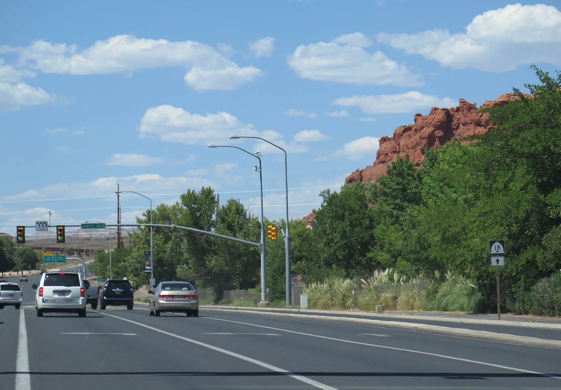
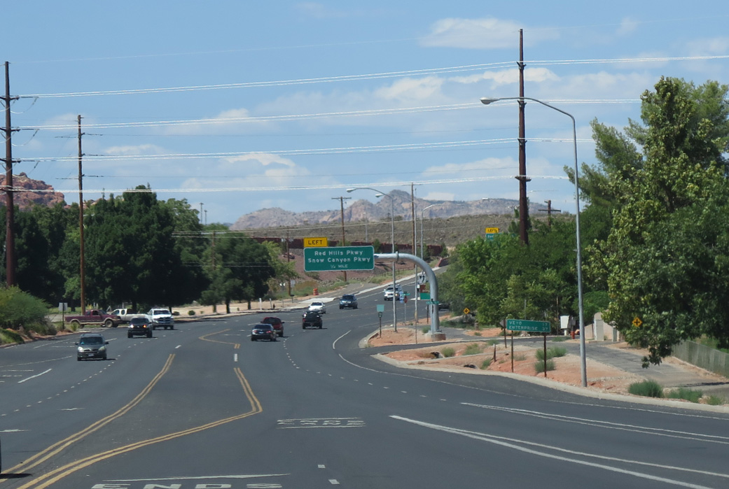
| A single point interchange joins SR 18 (Bluff Street) with Red Hills Parkway east and Snow Canyon Parkway west a quarter mile beyond SR 8 and Dixie Red Hills Golf Course. 08/13/16 |
|
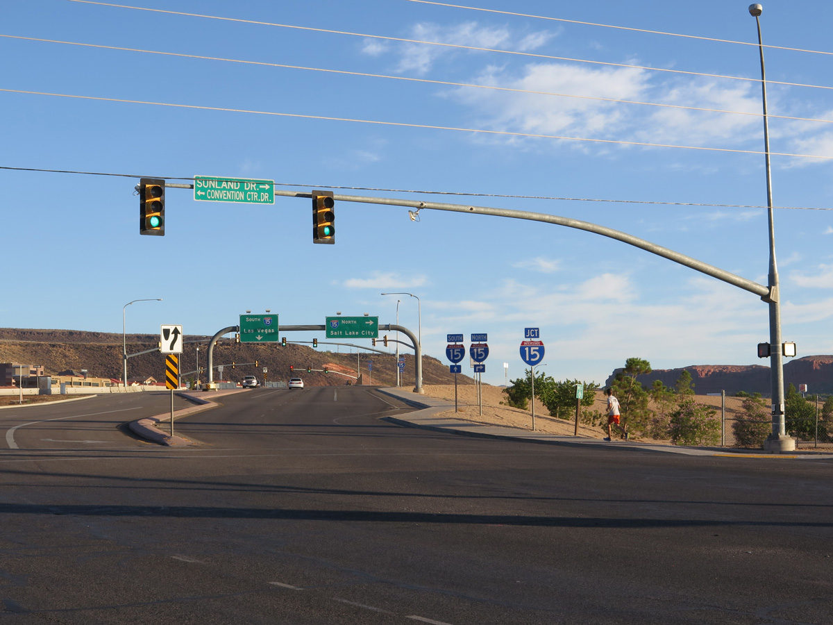
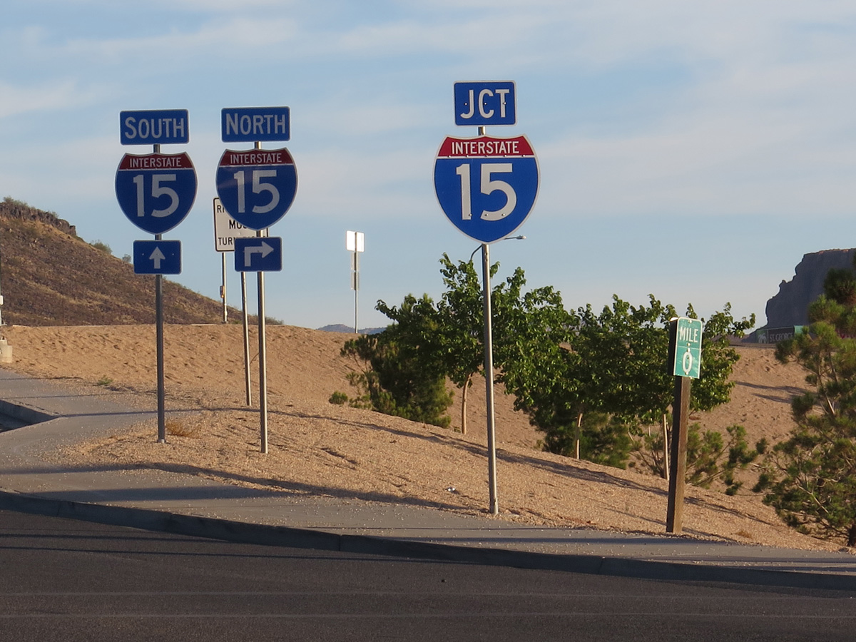
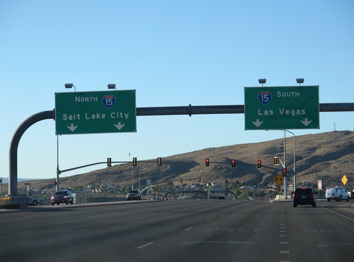
| Overheads precede the on-ramps linking SR 18 (Bluff Street) with Interstate 15 north to Provo and Salt Lake City and south to Las Vegas and Los Angeles. 08/09/14 |
|
| Black Ridge Drive heads north from Dixie Drive by a number of auto dealerships and curves northeast to intersect Business Loop I-15/SR 18 (Bluff Street) across from Main Street in St. George. 08/12/11 |
Sources:
- "So what is this Bluff Street project all about?" St. George News (UT), September 13, 2017.
10/24/03, 08/12/11, 08/09/14, 08/13/16 by AARoads
Connect with:
Interstate 15
Business Loop I-15 / State Route 34 - St. George
State Route 8
Page Updated 06-28-2018.