

Virginia Route 10 travels 91.32 miles southeast from U.S. 360 (Hull Street) in Richmond to U.S. 460 Business/SR 32 in the city of Suffolk. Signed with east and west cardinal direction banners, SR 10 initially heads south along Broad Rock Road / Boulevard in the capital city. Broad Rock Boulevard becomes Iron Bridge Road at Patsy Ann Drive in south Richmond.
Crossing Falling Creek, SR 10 (Iron Bridge Road) enters Chesterfield County south ahead of SR 150 (Chippenham Parkway). The state route continues southwest to Chesterfield County Airport (FCI), SR 288 (World War II Veterans Memorial Highway) and Chesterfield Court House. The arterial finally curves east en route to Chester and I-95 by Dutch Gap.
Paralleling the James River Valley, SR 10 progresses east to I-295 and across the Appomattox River into the independent city of Hopewell. SR 156 combines with SR 10 (Randolph Road) from Hopewell 2.44 miles east to SR 106 (Ruffin Road). SR 106 joins SR 10/156 (James River Drive) for 0.73 miles to Jordan Point Road, which takes SR 106/156 north to the Benjamin Harrison Memorial Bridge spanning the James River.
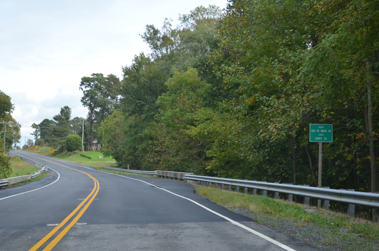
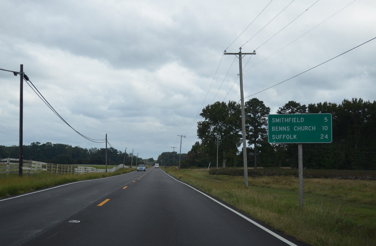
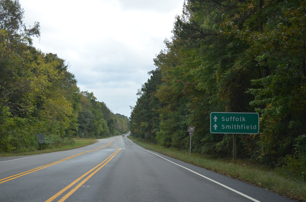
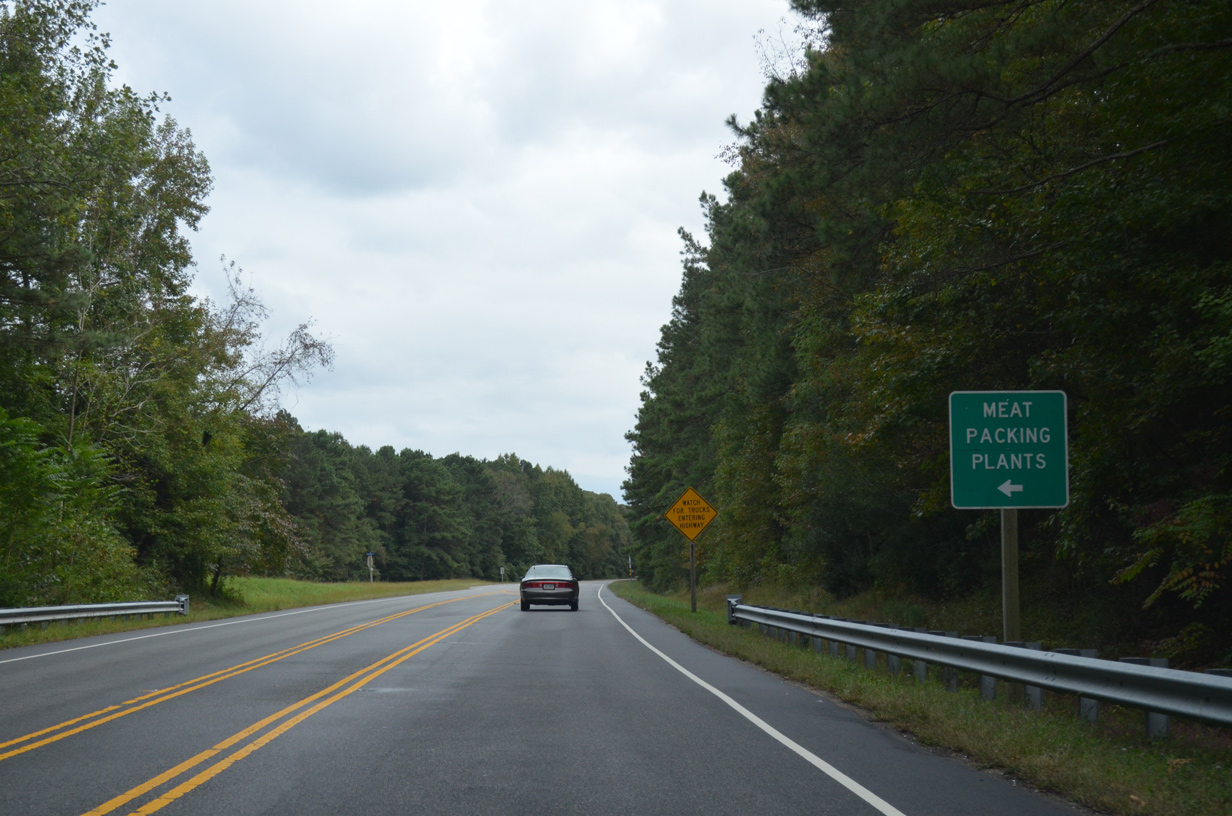
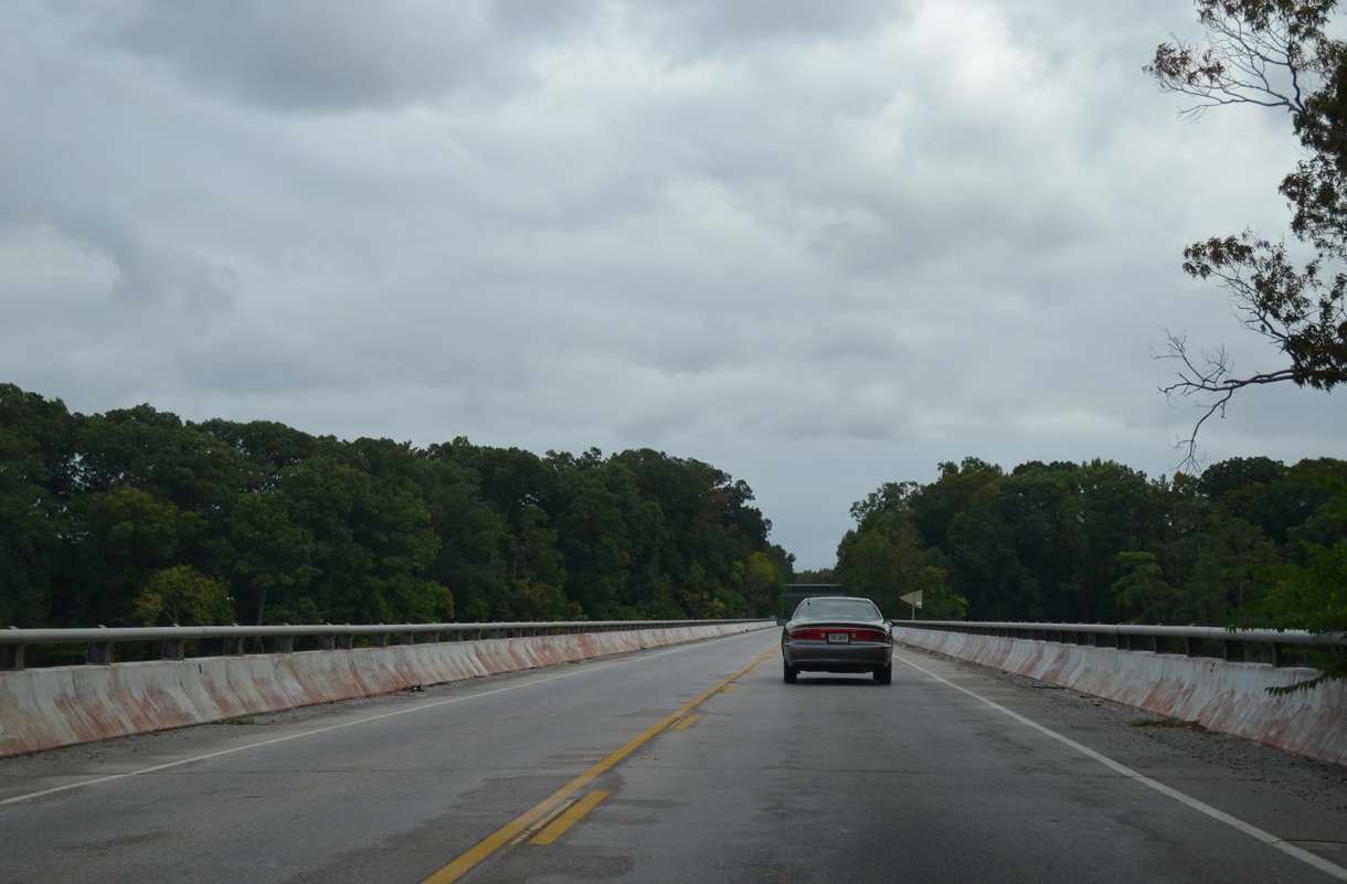
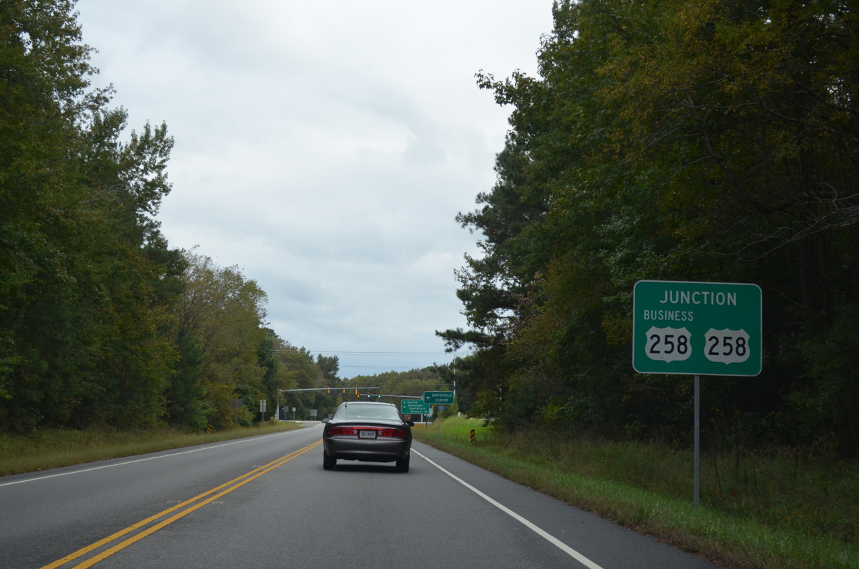
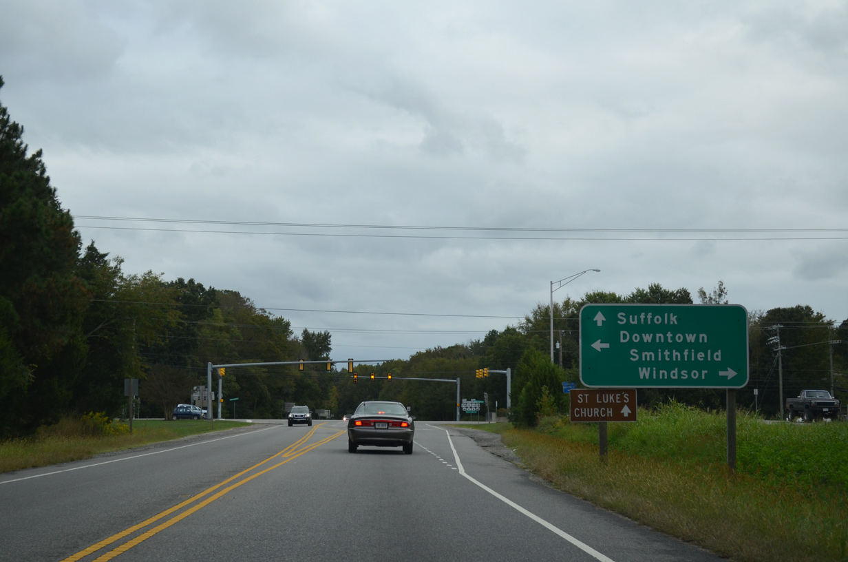
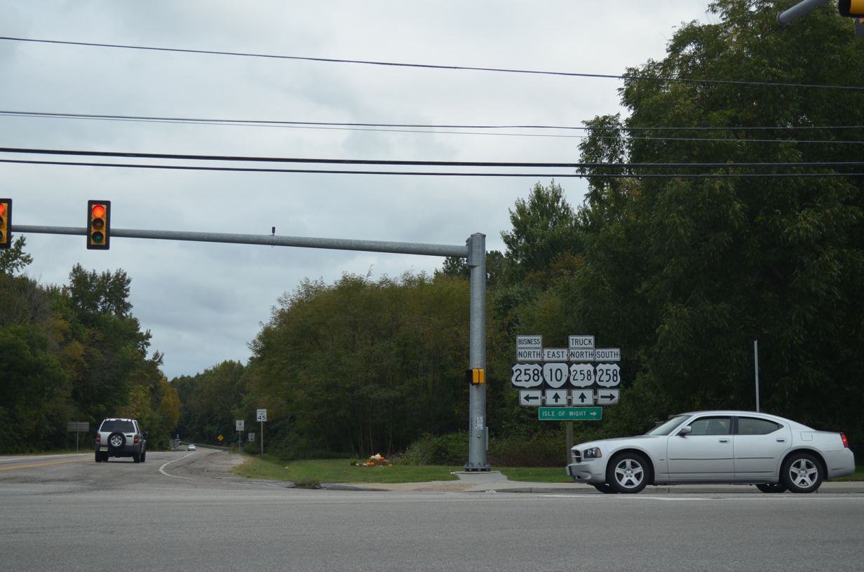
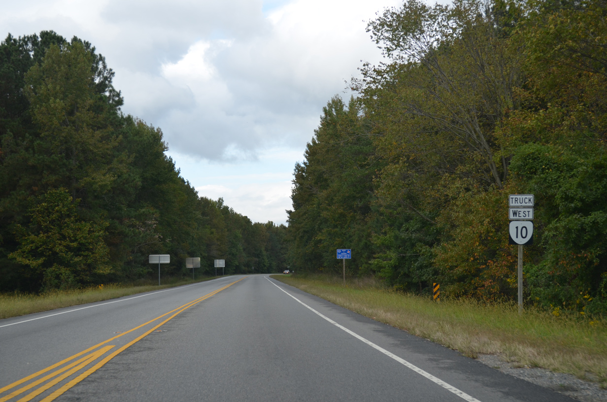
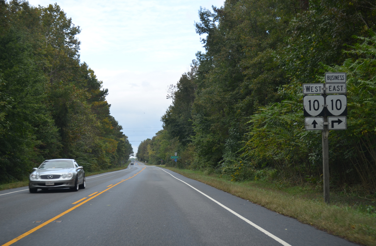
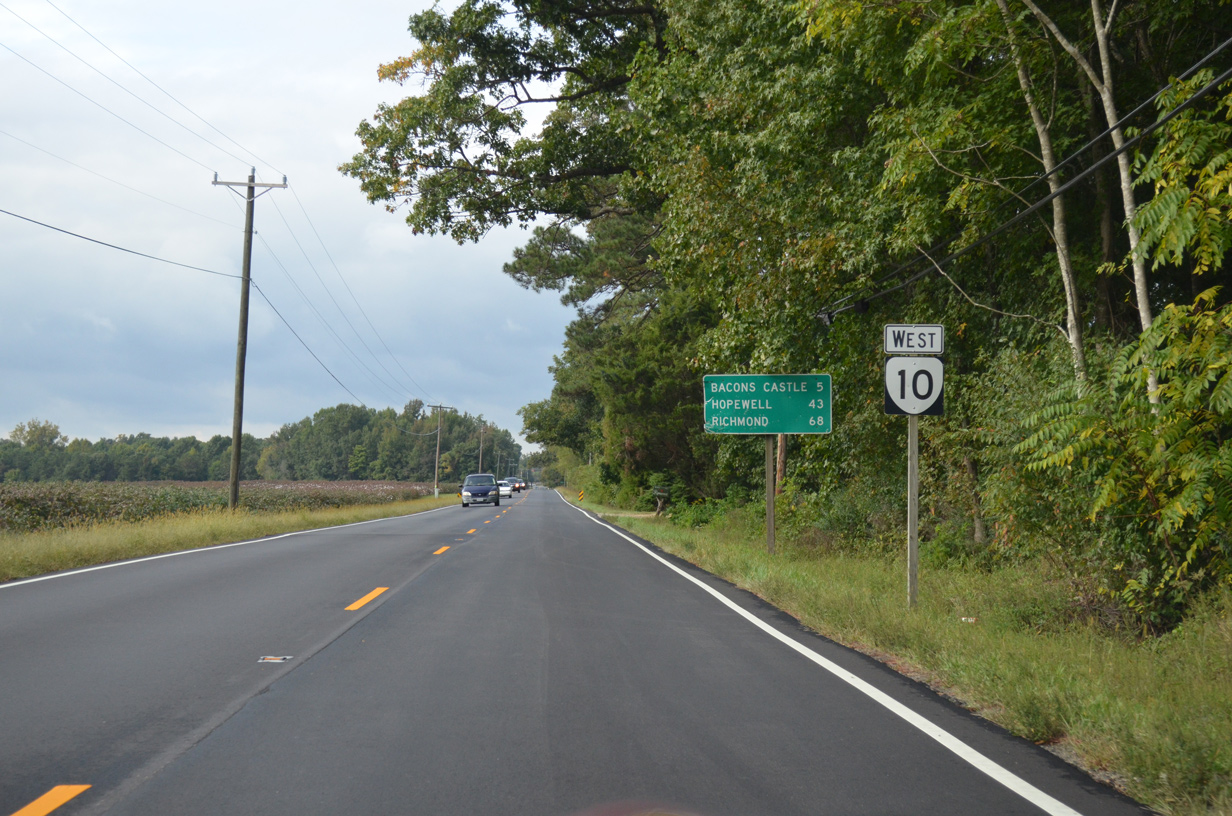
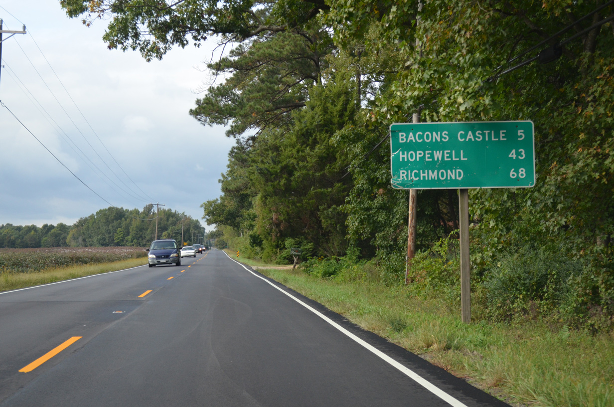
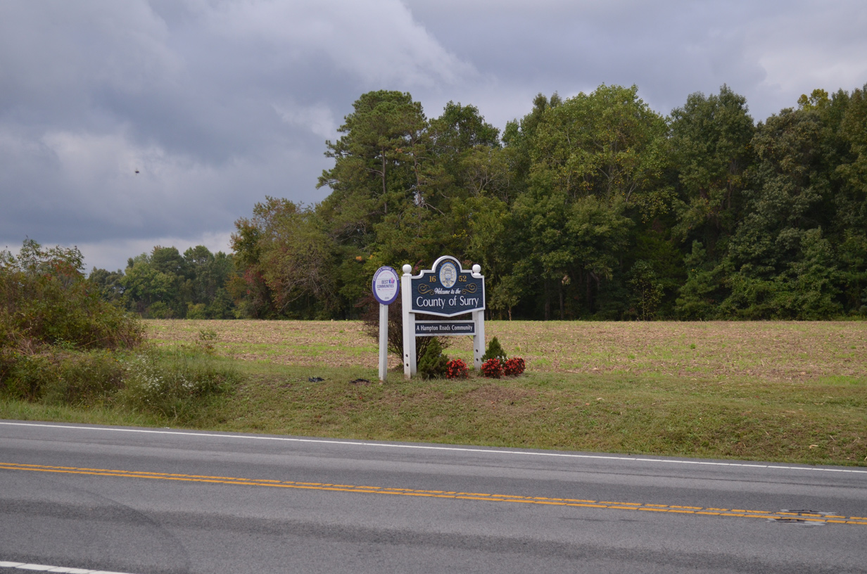
SR 10 (James River Drive) continues along a rural course southeast through Prince George County to Surry in Surry County and Isle of Wight County. SR 10 separates with a business route to Smithfield along a two lane expressway bypass. SR 10 Business loops 6.63 miles east to the Smithfield town center while SR 10 combines with U.S. 258 southeast to SR 32 at Benns Church. SR 10/32 overlap 12.50 miles south from U.S. 258 (Brewers Neck Boulevard) to Chuckatuck and Suffolk.
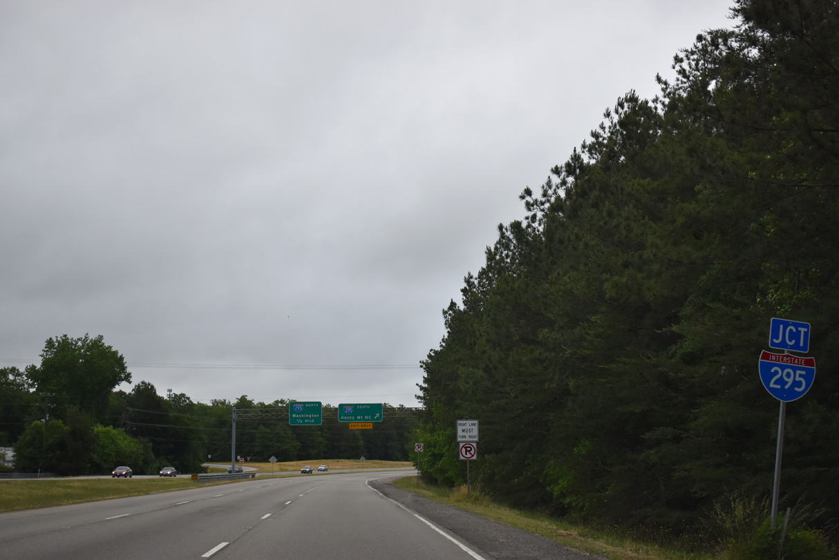
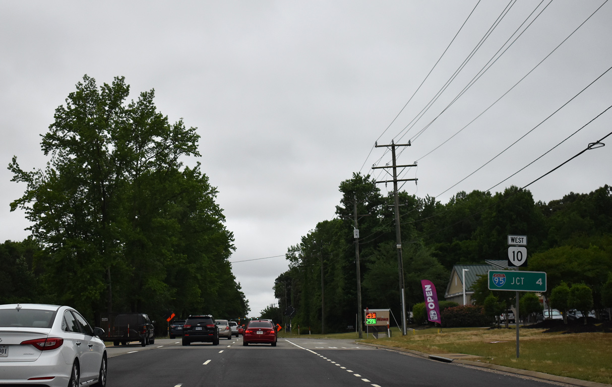
SR 10 (Hundred Road) meets Interstate 295 at a cloverleaf interchange at the community of Enon.
05/29/19
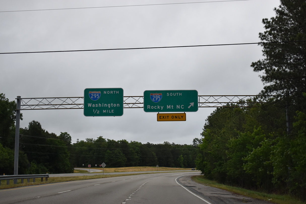
Interstate 295 crosses the James River north over the Varina Enon Bridge toward I-64 at Sandston. I-295 south passes between Hopewell and Fort Lee while bypassing Petersburg to I-95.
05/29/19
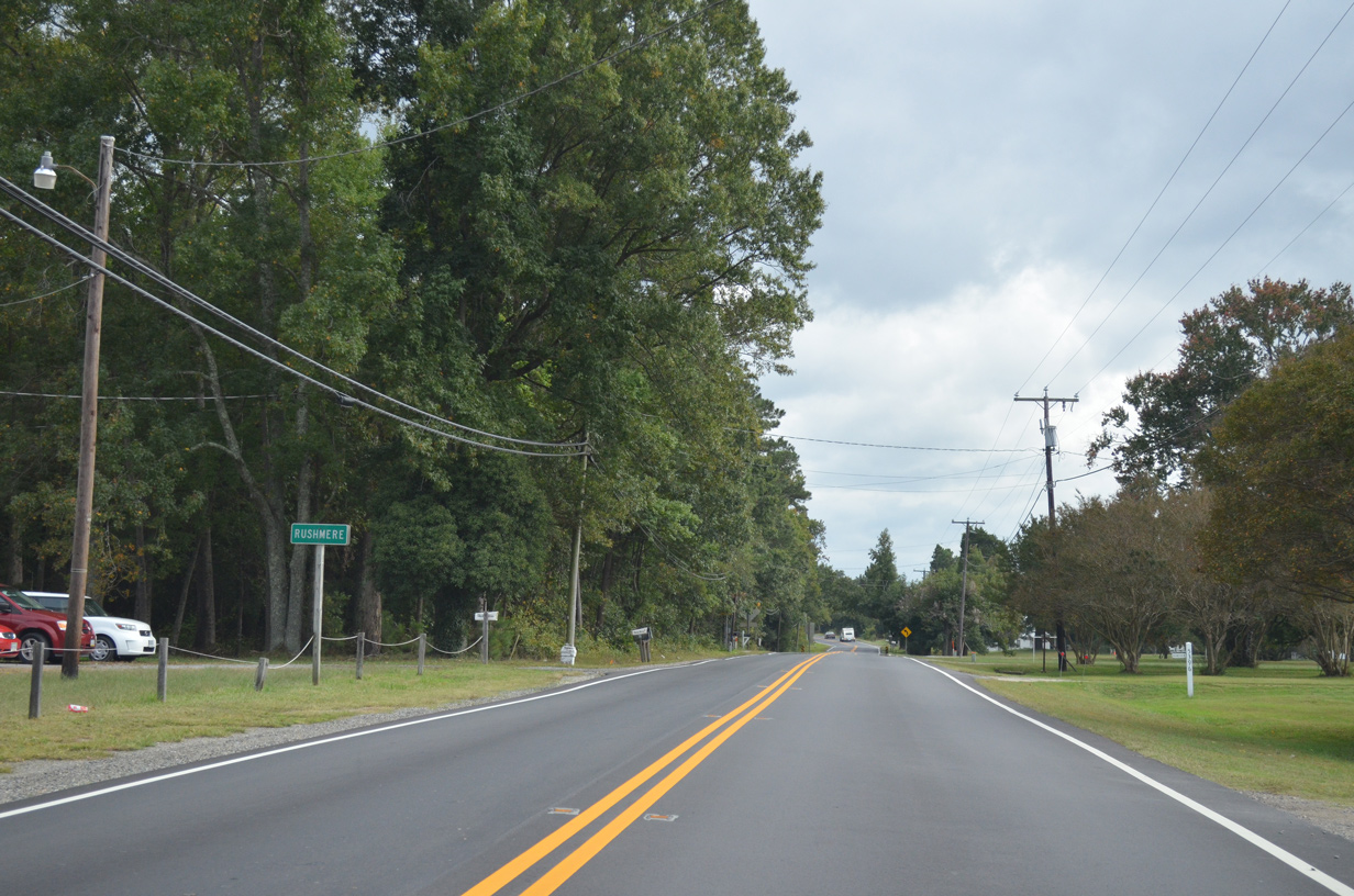
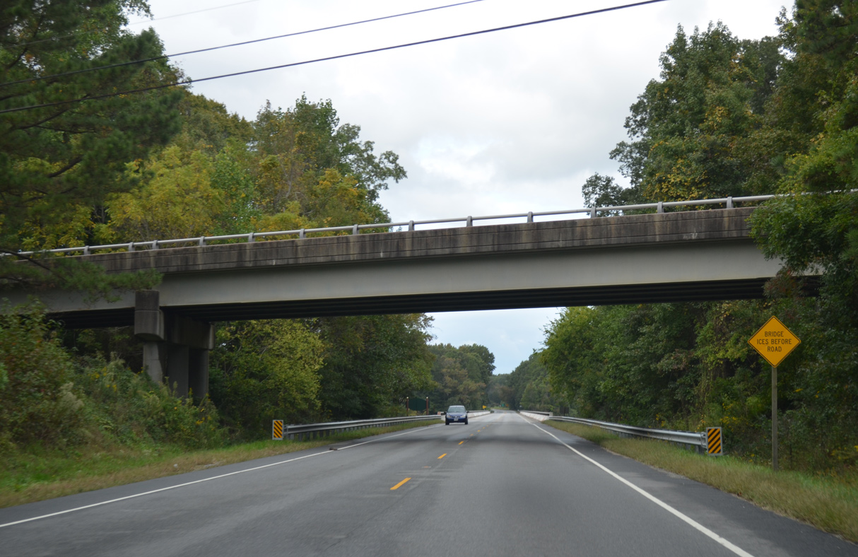
SR 10 (E Colonial Trail) east enters Isle of Wight County across Lawnes Creek.
10/12/14
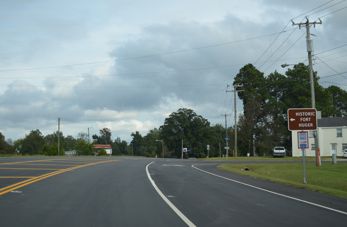
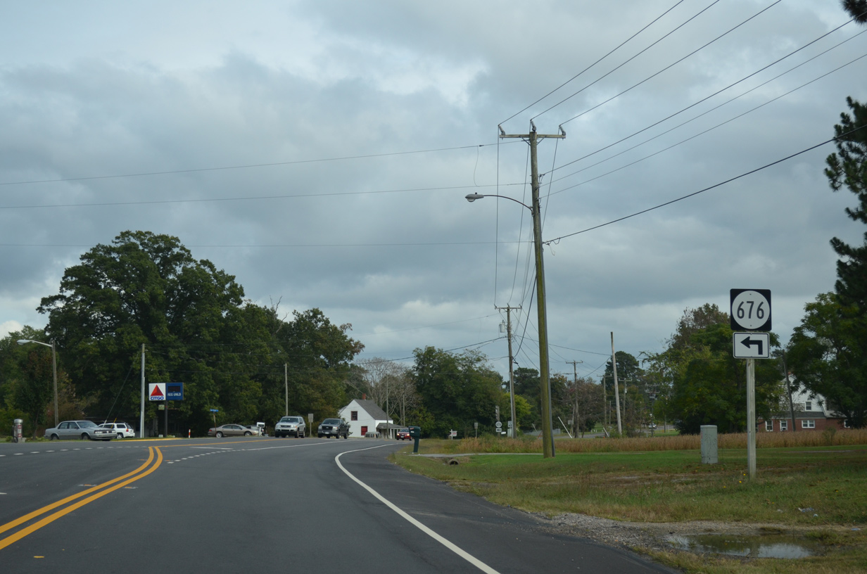
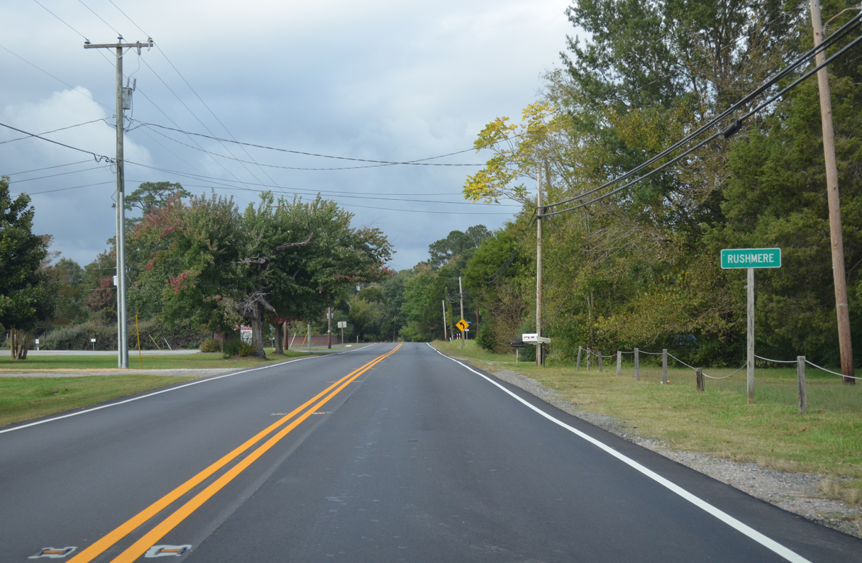
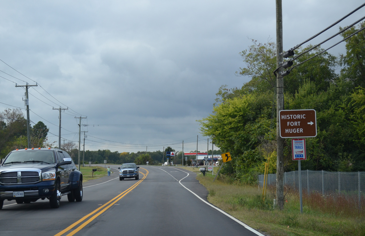
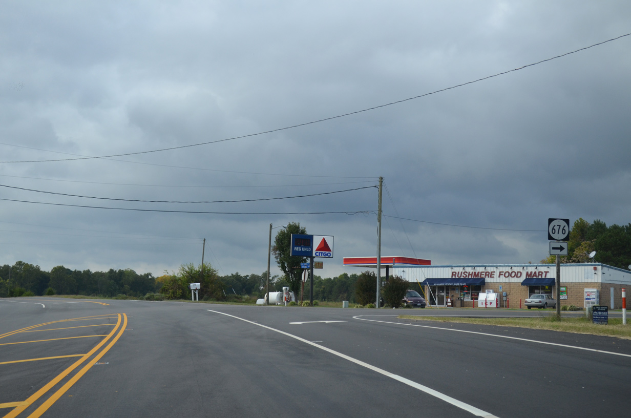
SR 676 (Fort Huger Drive) spurs north onto Lawns Neck toward Historic Fort Huger, Baileys Beach and Rushmere Shores.
10/12/14
10/12/14
10/12/14
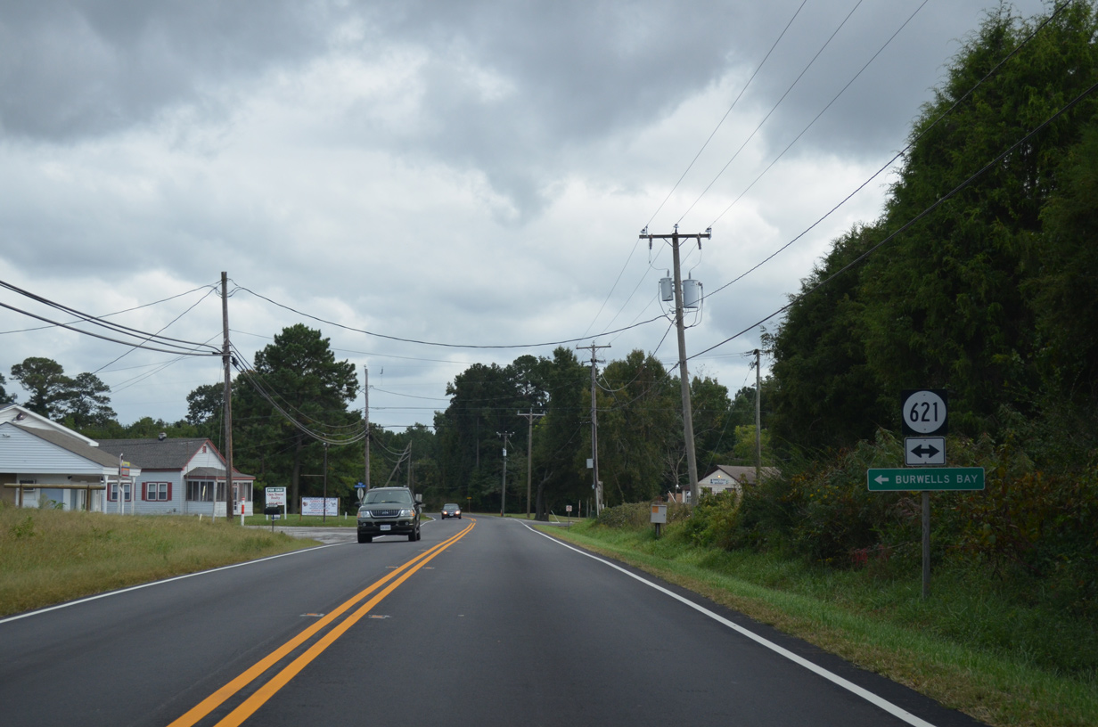
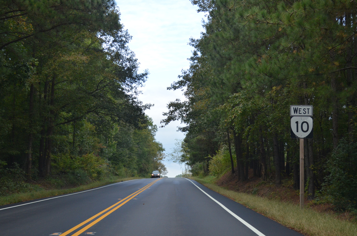
SR 10 (Old Stage Highway) meets SR 621 (Burwells Bay Road) west of Burwells Bay.
10/12/14
10/12/14
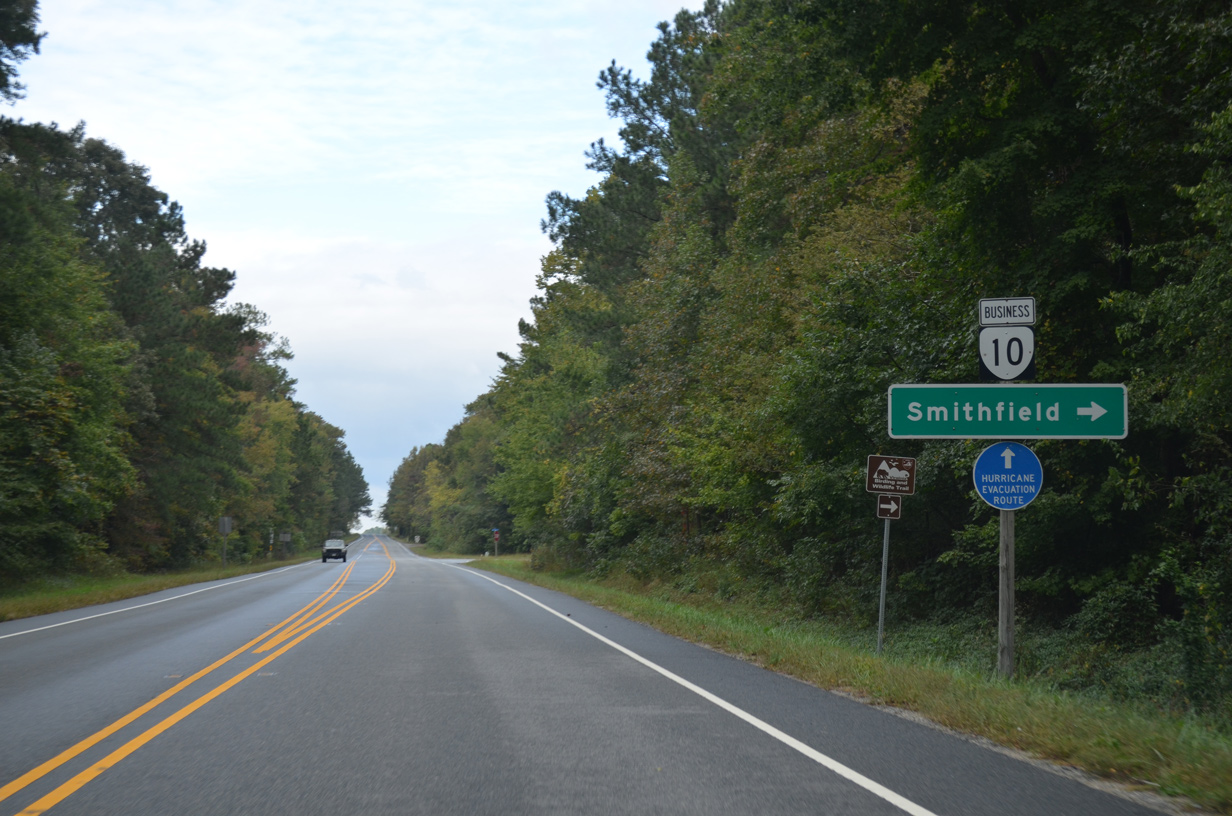
Old Stage Highway shifts east from SR 10 along SR 10 Business to the town of Smithfield.
10/12/14
SR 10 bypasses Smithfield to the west along a two lane expressway.
10/12/14
SR 10 Business (Old Stage Highway) constitutes a 6.63 mile long route south through Smithfield.
10/12/14
10/12/14
10/12/14
10/12/14
10/12/14
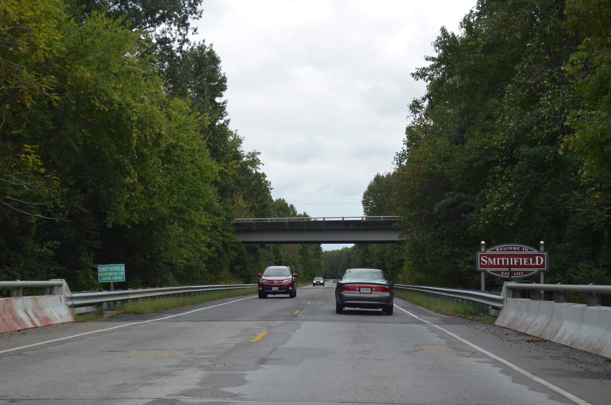
SR 10 enters the town of Smithfield south from the Pagan River.
10/12/14
U.S. 258 (Main Street) runs north from Isle of Wight to meet SR 10 (Smithfield Bypass) across from U.S. 258 Business to Downtown Smithfield.
10/12/14
10/12/14
U.S. 258 north and SR 10 east combine along the remainder of the Smithfield Bypass en route to SR 32 at Benns Church.
10/12/14
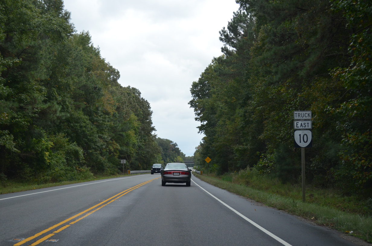
SR 10 along the expressway bypass around the town of Smithfield is signed with Truck banners. This confirming marker stands west of the separation with U.S. 258 (Main Street).
10/12/14
SR 626 (Cary Street) spans SR 10 along the Smithfield Bypass.
10/12/14
Crossing the Pagan River, SR 10 west vacates the town of Smithfield.
10/12/14
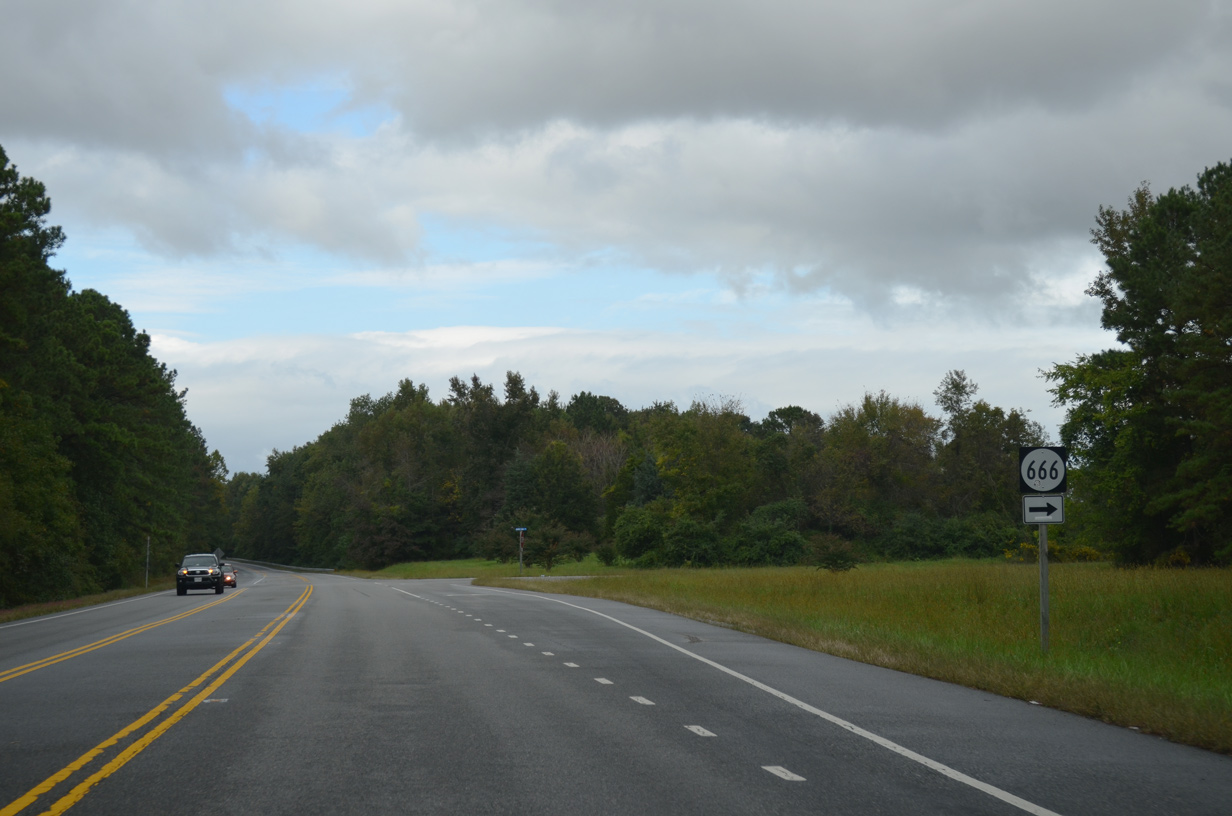
SR 666 (Berry Hill Road) stems east from SR 10 to SR 10 Business (N Church Street) in Smithfield.
10/12/14
10/12/14
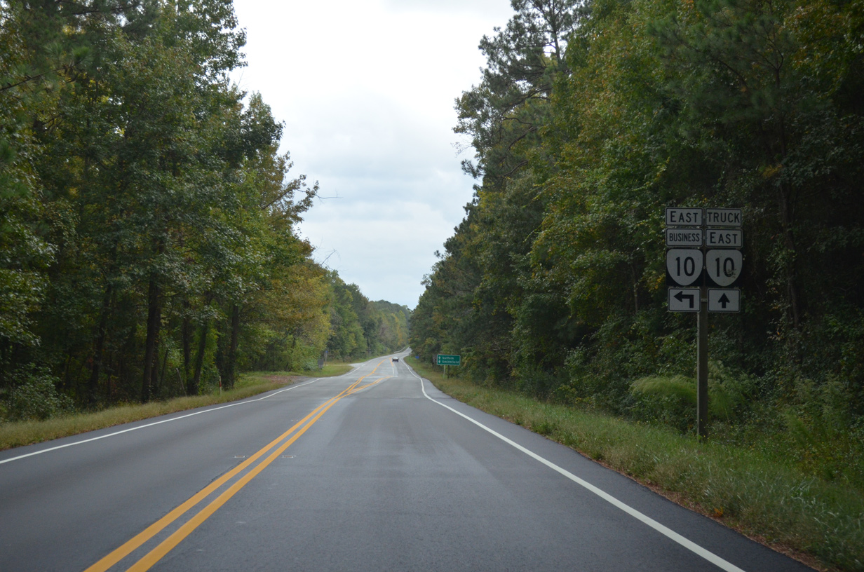
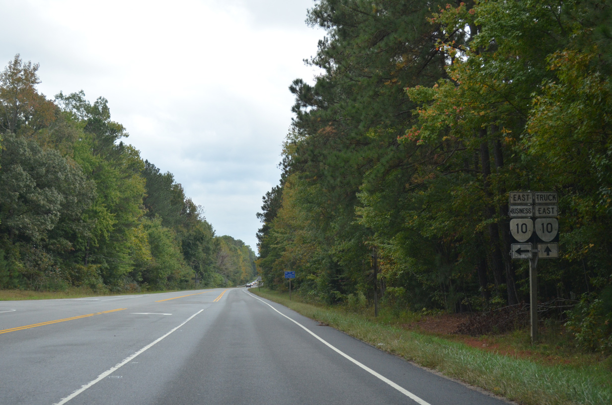
SR 10 Business returns to SR 10 from Smithfield along Old Stage Highway.
10/12/14
10/12/14
10/12/14
10/12/14
10/12/14
10/12/14
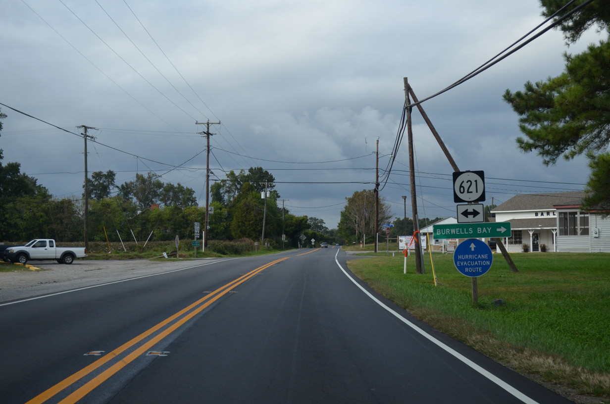
SR 621 (Burwells Bay Road) spurs east to Burwells Bay along Burwell Bay. West from SR 10, SR 621 continues to Moonlight, Pons and Sycamore Crossroads.
10/12/14
10/12/14
10/12/14
10/12/14
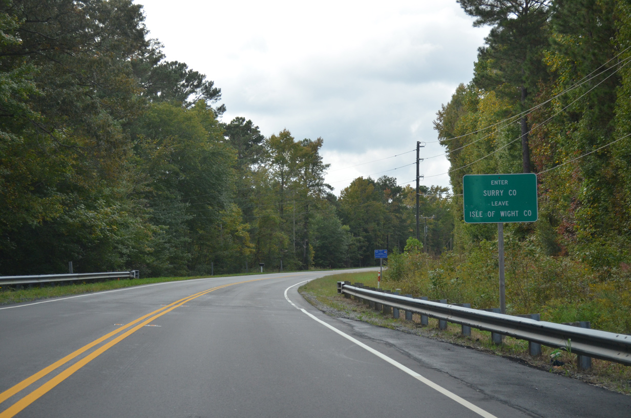
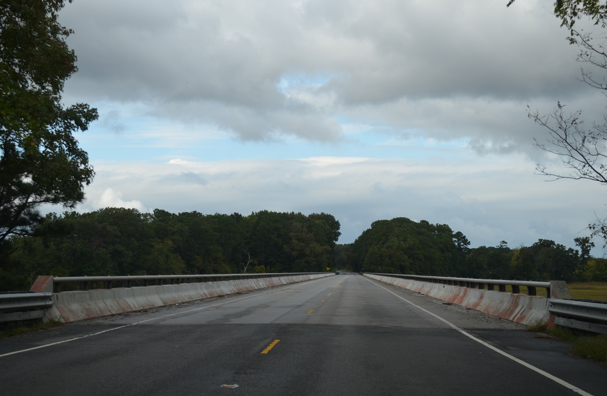
Crossing Lawnes Creek, SR 10 (Old Stage Highway) west enters Surry County.
10/12/14
10/12/14
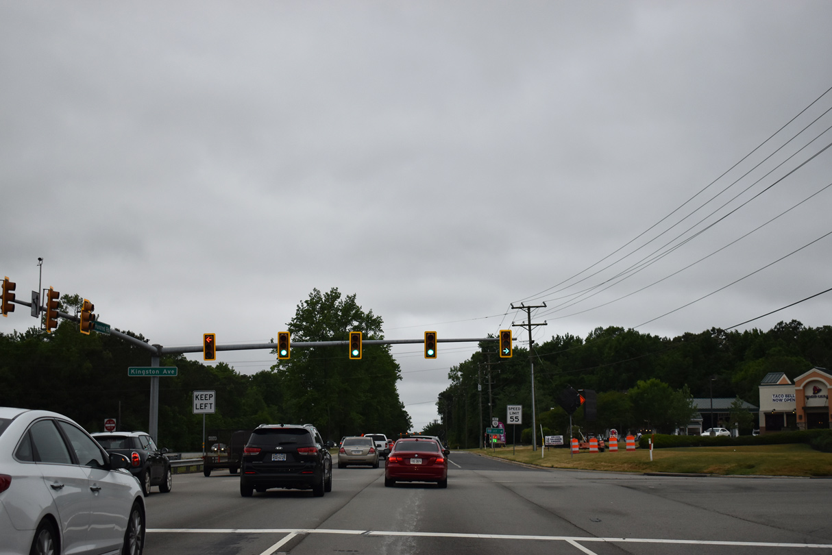
SR 10 (Hundred Road) west intersects Kingston Avenue just beyond the cloverleaf interchange with Interstate 295.
05/29/19
05/29/19
Photo Credits:
10/12/14, 05/29/19 by AARoads
Connect with:
Interstate 95
Interstate 295
U.S. 13
U.S. 1
U.S. 58
U.S. 258
U.S. 301
U.S. 360
U.S. 460
State Route 36
State Route 106
State Route 150 - Chippenham Parkway
State Route 288
Page Updated 08-12-2021.