

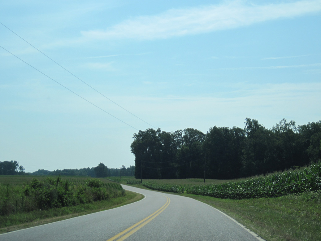
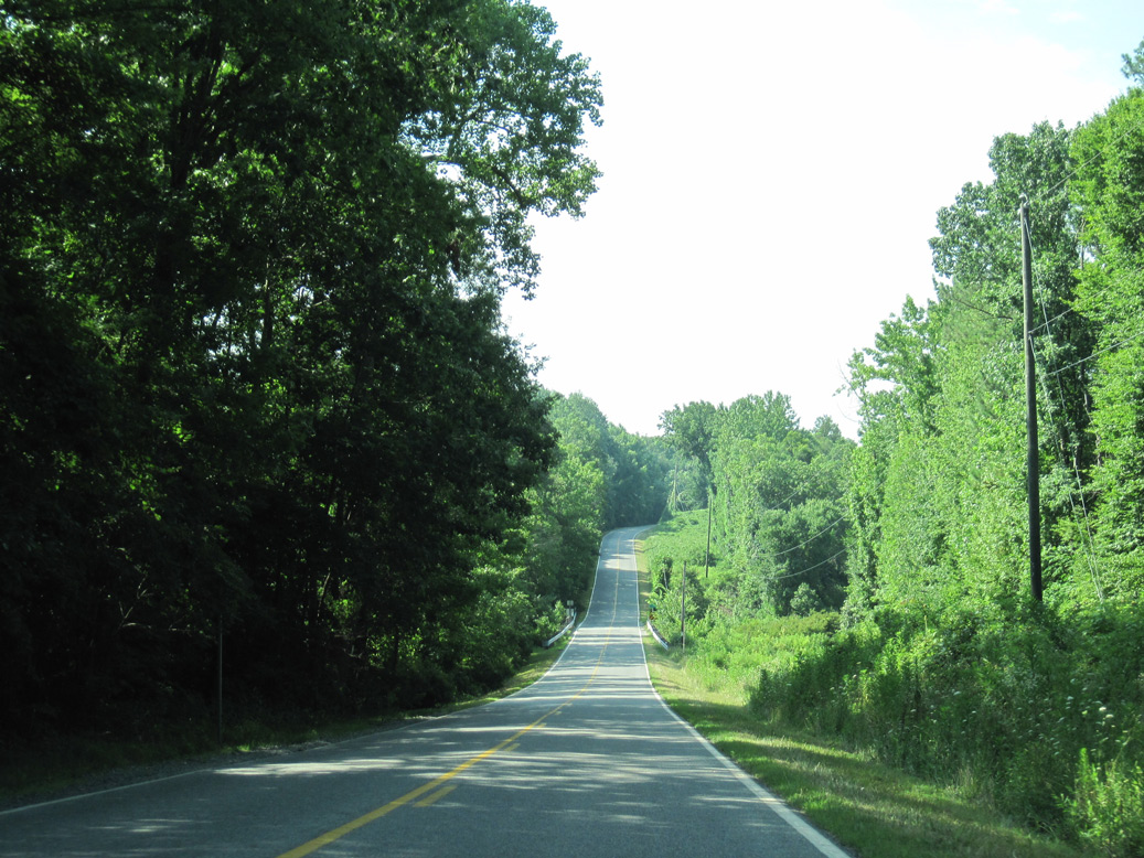
State Route 198 is a rural highway from U.S. 17/SR 33 at Glenns in Gloucester County 23.33 miles east to Mathews County in eastern Virginia. Paralleling the Piankatank River to the south, SR 198 runs southeast to Cash, Harcum and Dutton.
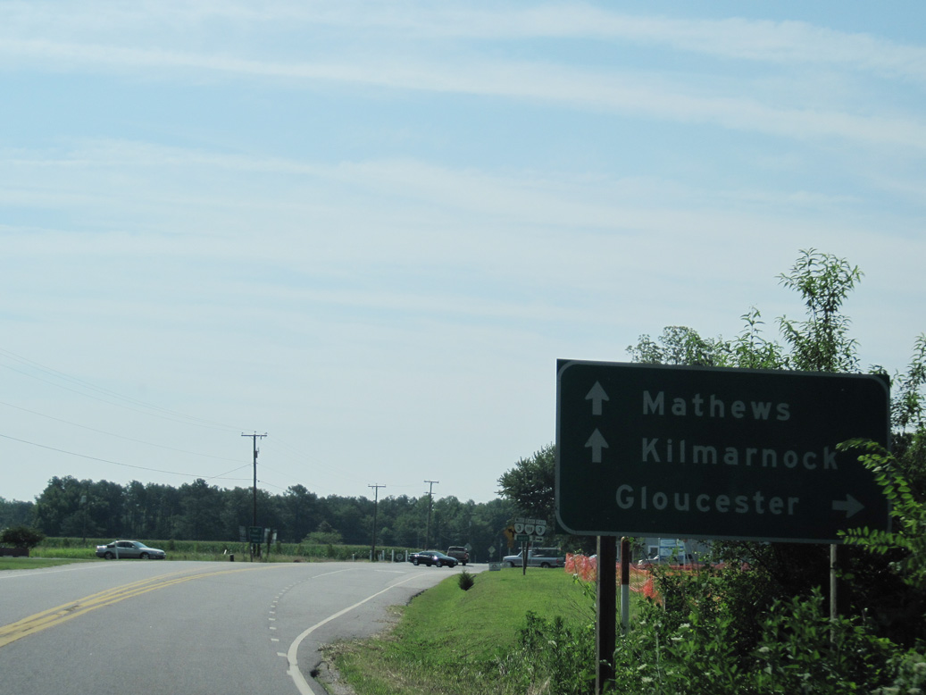
Crossing into Mathews County, SR 198 combines with SR 3 (Buckley Hall Road) for a 1.99 mile long overlap east from Soles. SR 198 continues east along Buckley Hall Road to Cobbs Creek and south from Blakes to SR 233 (Cricket Hill Road) at Hudgins. Following a 1.69 mile long overlap with SR 14 (Buckley Hall Road) south to Mathews, SR 198 branches 1.01 miles east to conclude at SR 642 (Fitchetts Wharf Road).
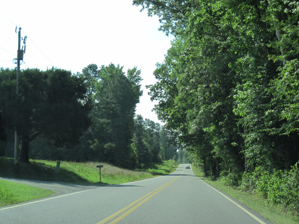
SR 198 (Glenns Road) east of Zion Branch and the unincorporated community of Glenns.
06/25/10
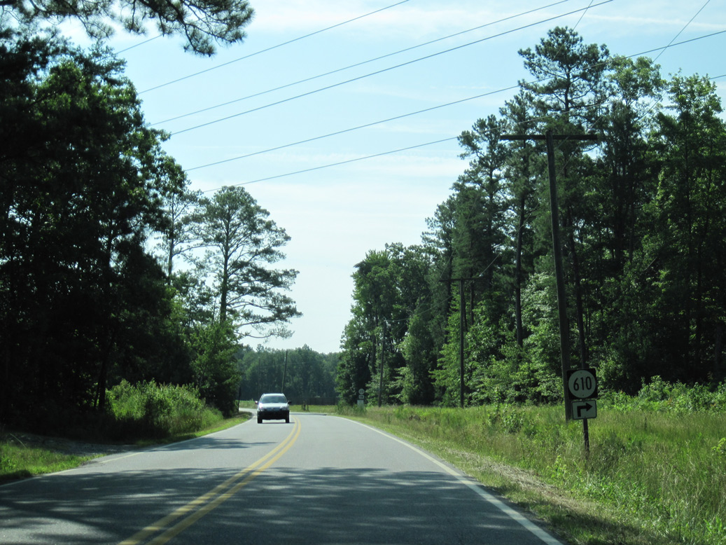
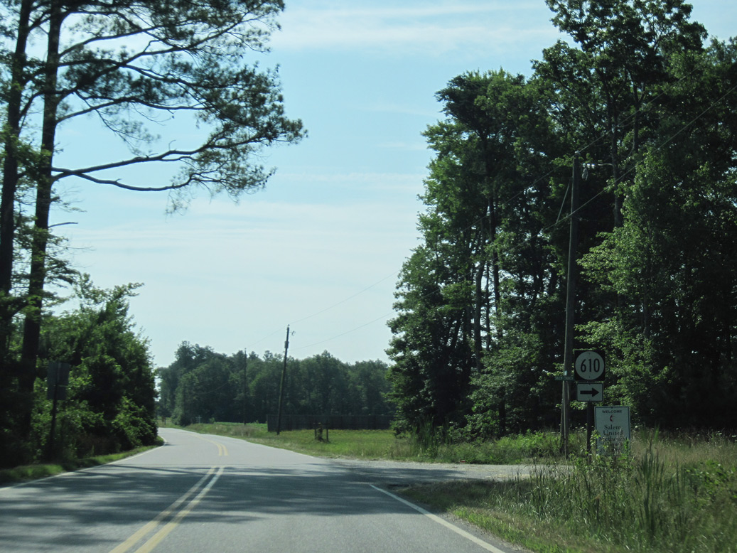
SR 610 (Salem Church Road) stems south from SR 198 (Glenns Road) to Pamps and U.S. 17/SR 14 at Woods Crossroads.
06/25/10
06/25/10
06/25/10
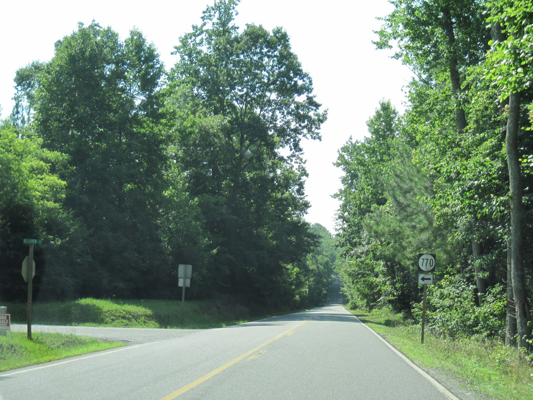
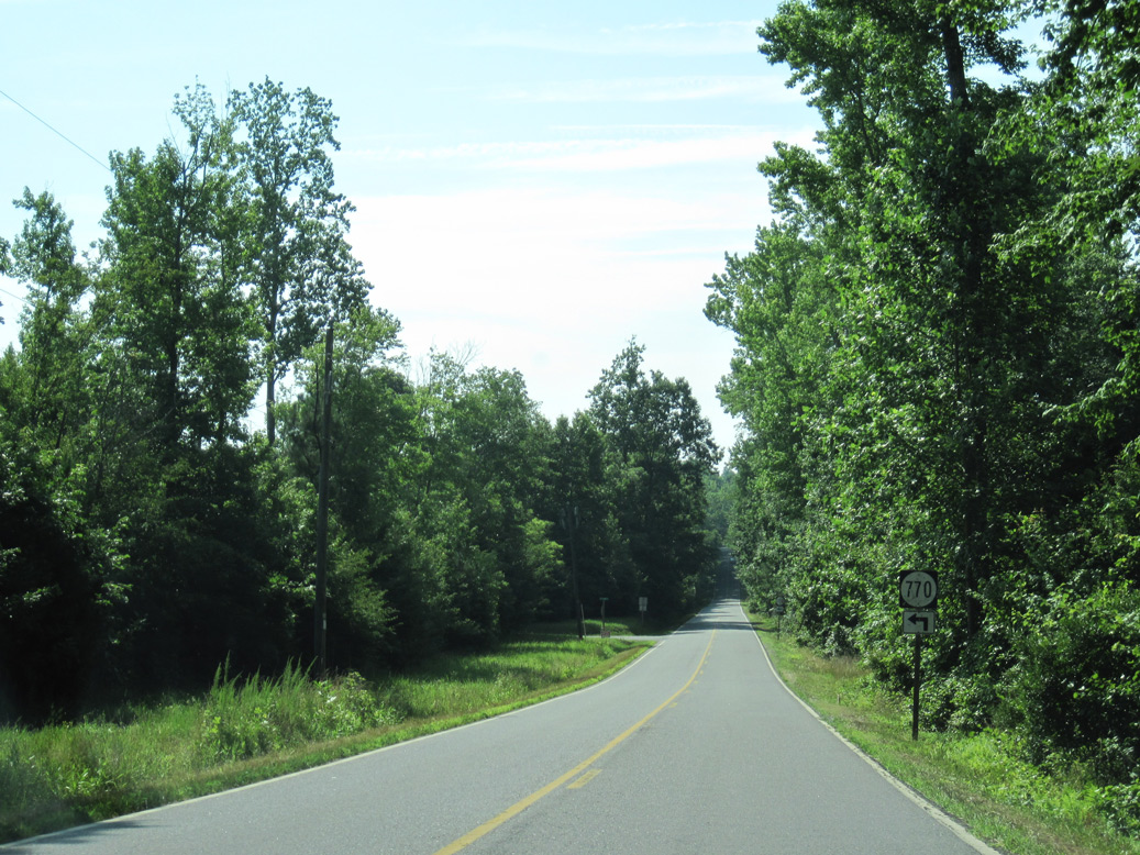
SR 770 is Belleview Road north from SR 198 to the Piankatank River.
06/25/10
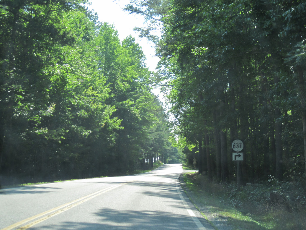
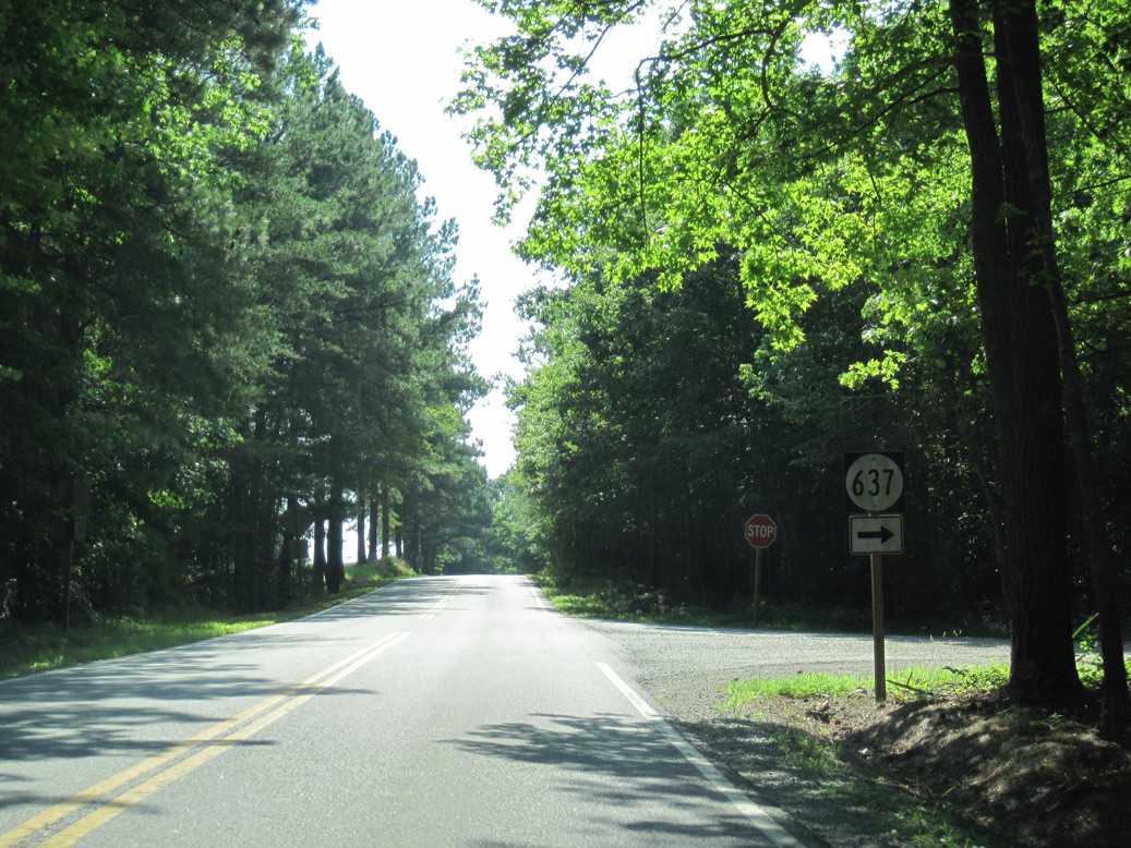
SR 637 (Turks Ferry Road) heads 2.2 miles northeast from SR 610 at Pampa to SR 198 (Glenns Road).
06/25/10
06/25/10
06/25/10
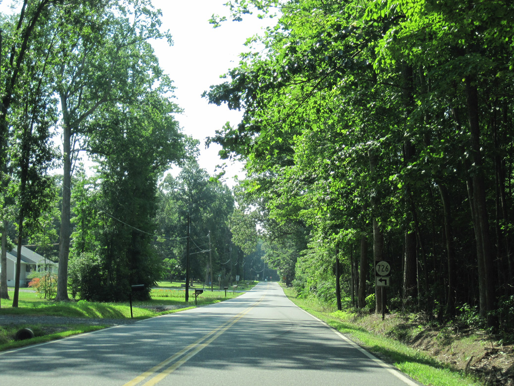
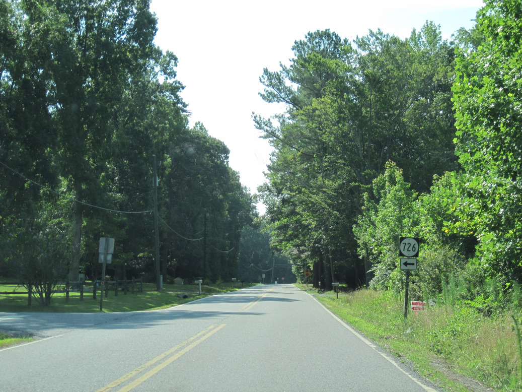
SR 726 spurs north along Dogwood Trail to a rural grid of streets along the Piankatank River.
06/25/10
06/25/10
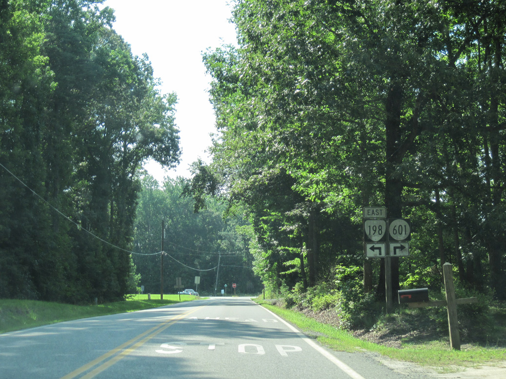
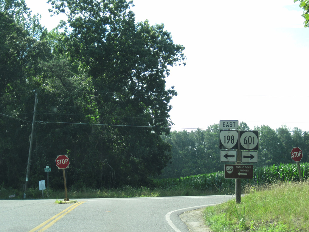
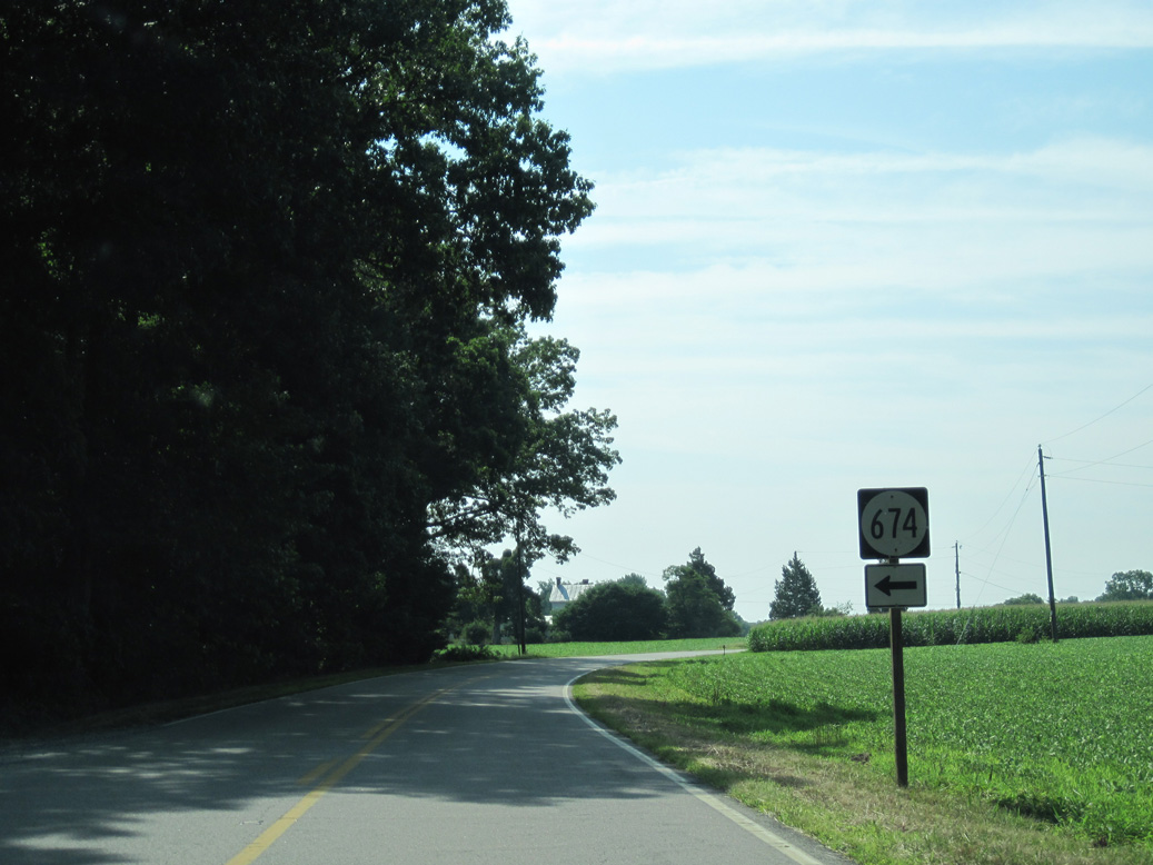
SR 601 (Pampa Road) converges with SR 198 (Glenns Road) at Cash.
06/25/10
06/25/10
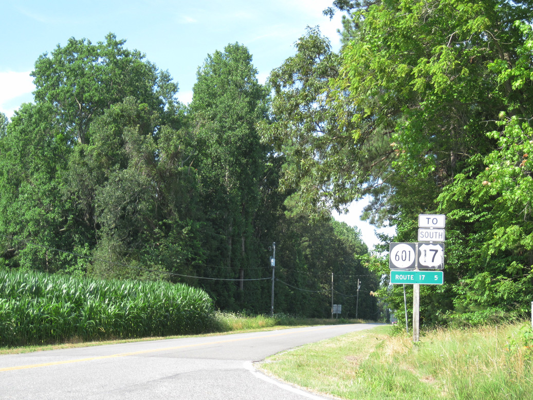
SR 601 (Pampa Road) leads west 4.98 miles to U.S. 17 at Owl Trap.
06/25/10
06/25/10
SR 198 (Dutton Road) lowers 61 feet in elevation from SR 673 (Freeport Road) at Freeport to cross Harper Creek.
06/25/10
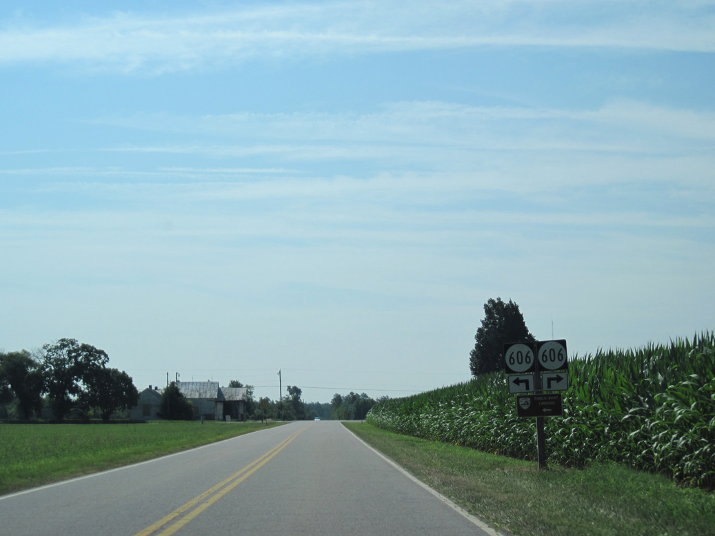
SR 198 (Dutton Road) east meets SR 606 (Harcum Road) at the settlement of Harcum.
06/25/10
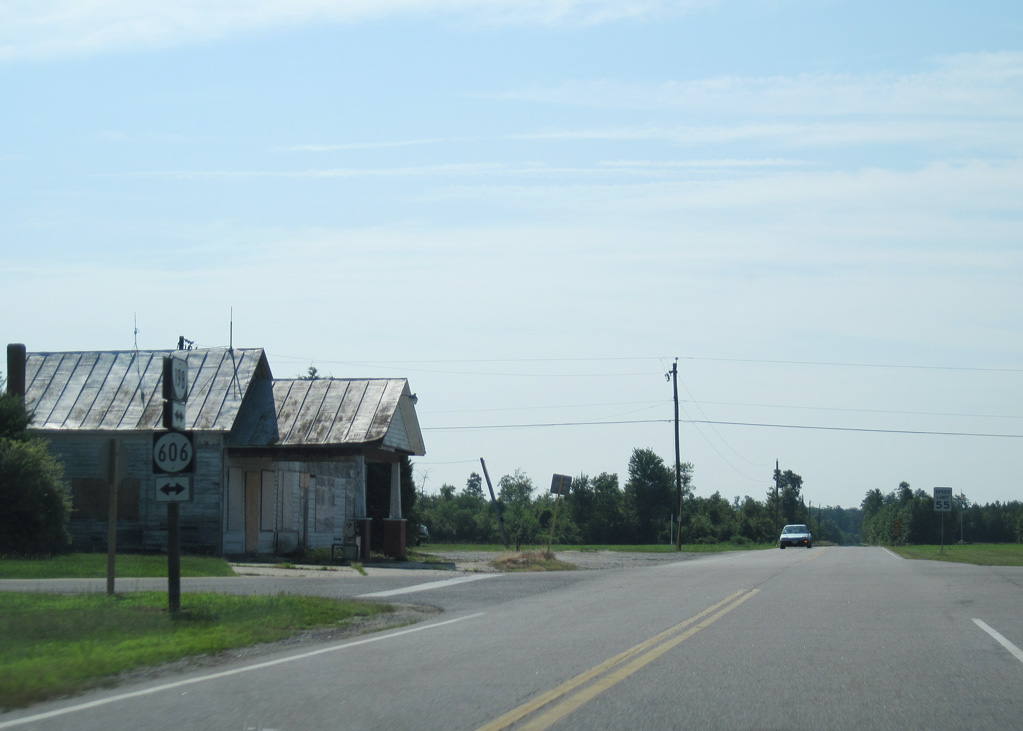
SR 606 (Harcum Road) ventures 7.35 miles southwest to Hornets Nest, Pinero and U.S. 17 at Ark.
06/25/10
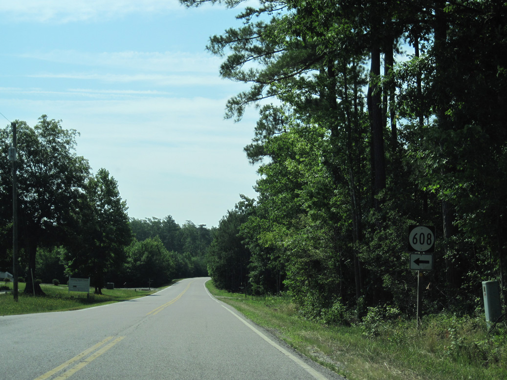
SR 608 (Hell Neck Road) spurs east onto Hell Neck.
06/25/10
06/25/10
06/25/10
06/25/10
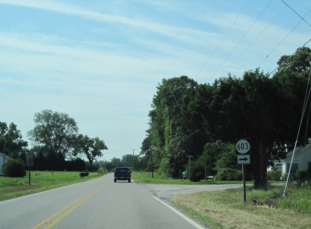
SR 198 (Dutton Road) at SR 603 (Figg Shop Road) south.
06/25/10
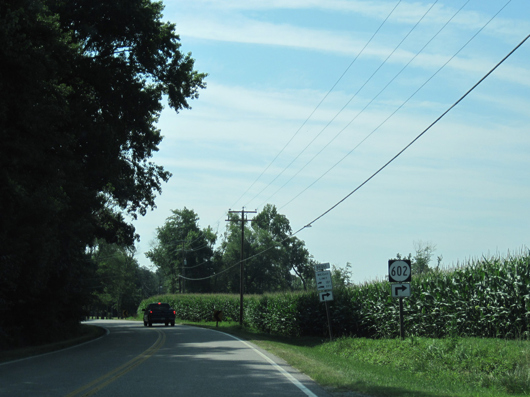
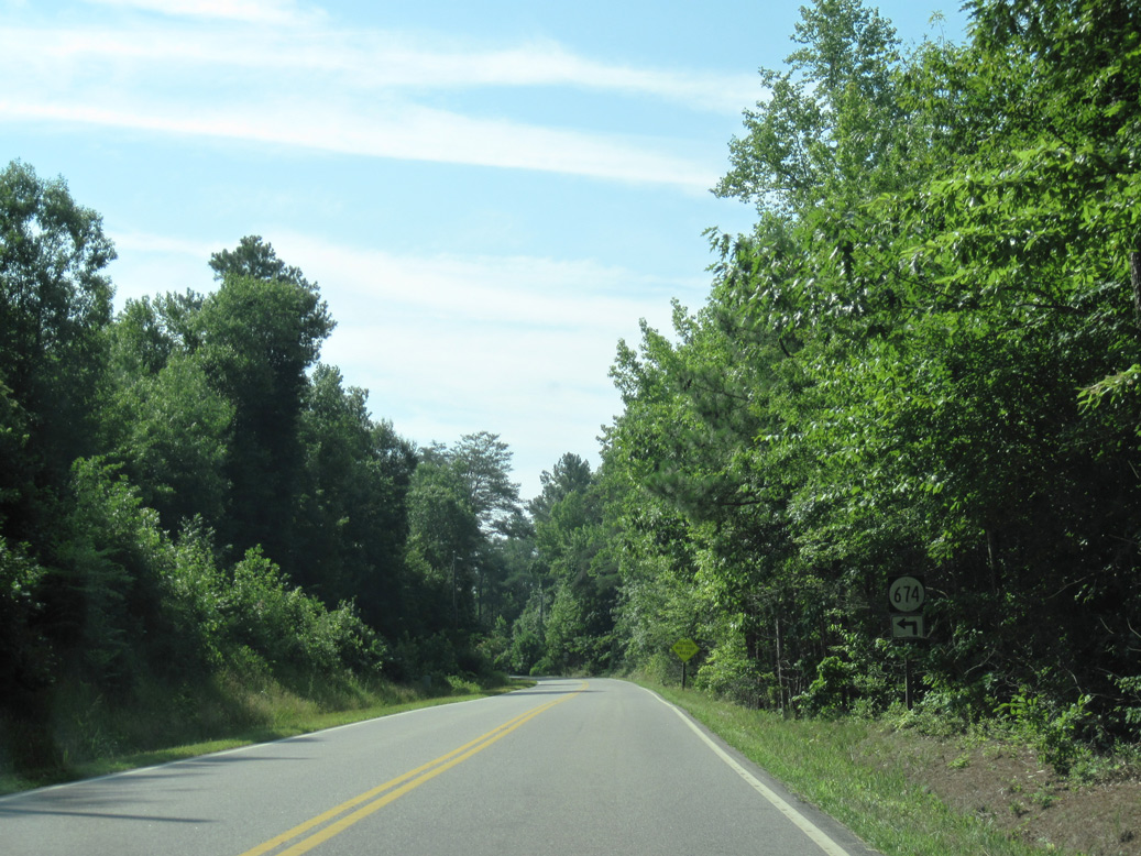
SR 602 (Burkes Pond Road) branches southeast from SR 198 toward Burke Pond.
06/25/10
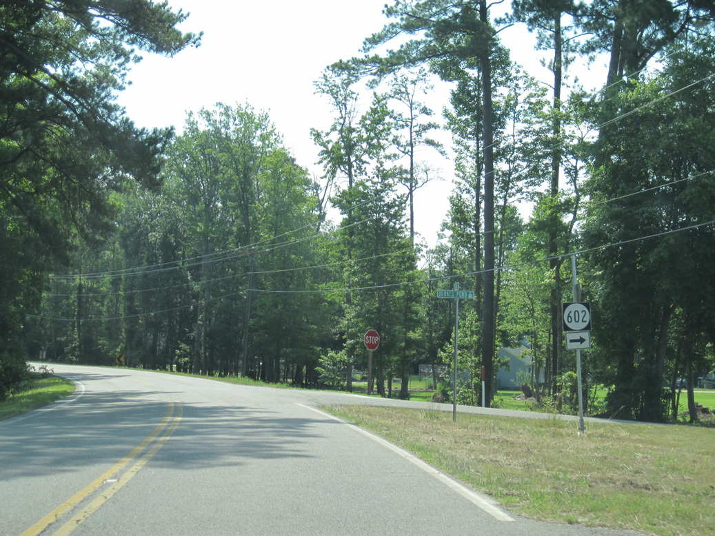
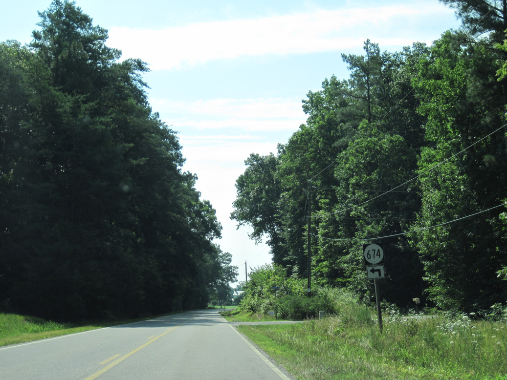
SR 602 (Burkes Pond Road) is a minor collector 2.40 miles south to SR 3/14 (John Clayton Memorial Highway) at James Store.
06/25/10
06/25/10
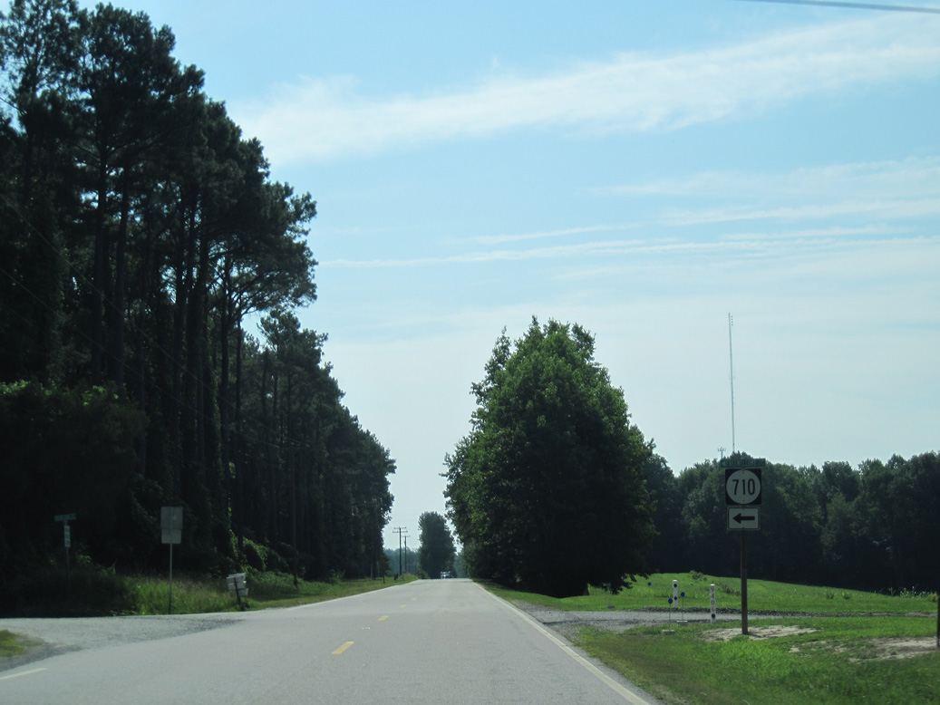
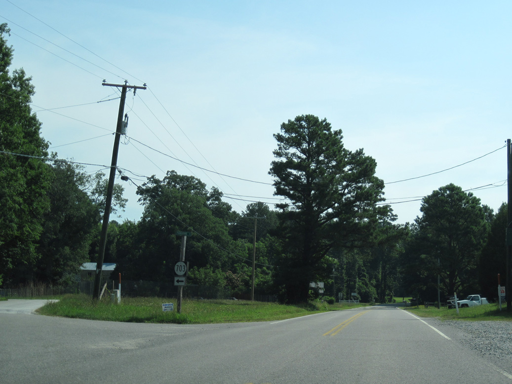
SR 198 (Dutton Road) continues to the settlement of Dutton and SR 710 (Freewelcome Lane) north.
06/25/10
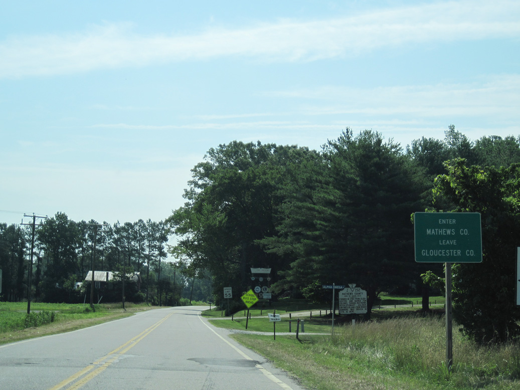
Entering Mathews County, SR 198 becomes Buckley Hall Road.
06/25/10
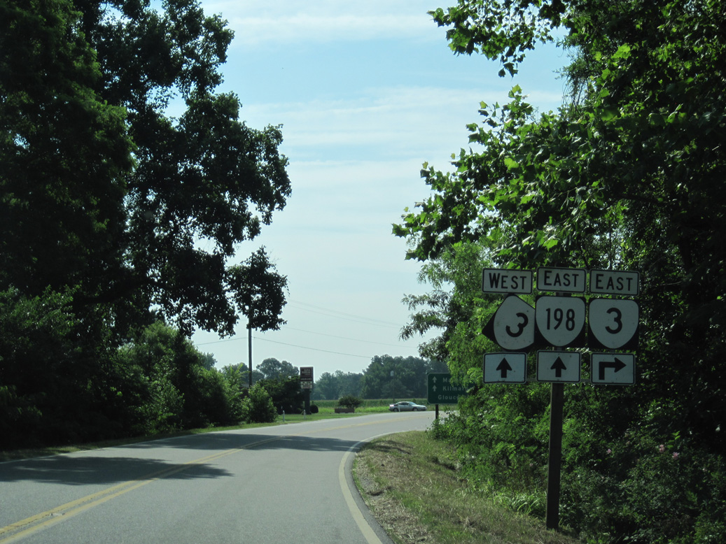
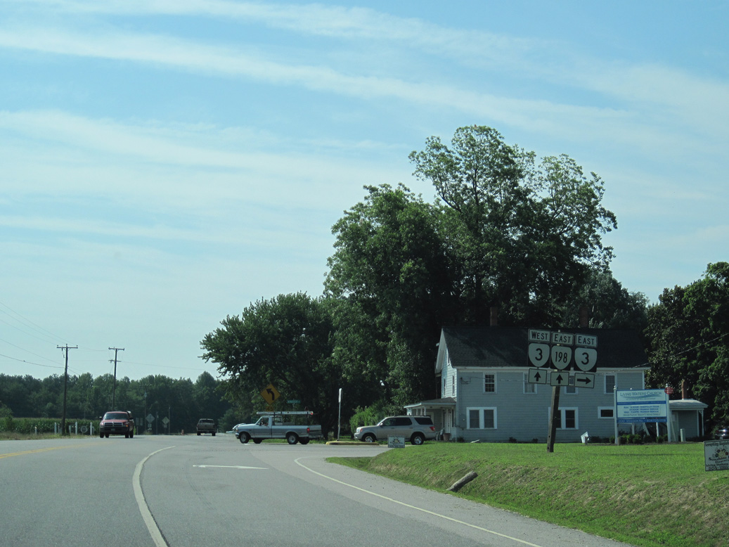
SR 198 combines with SR 3 (Windsor Road) at Soles, 0.44 miles east of the Gloucester County line.
06/25/10
SR 3 (Windsor Road) heads south to SR 14 at Fort Nonsense, with the two overlapping southwest from there to Gloucester.
06/25/10
06/25/10
Photo Credits:
06/25/10 by AARoads
Connect with:
U.S. 17
State Route 3
Page Updated 05-08-2021.