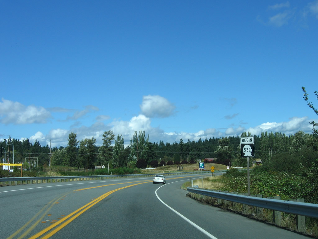
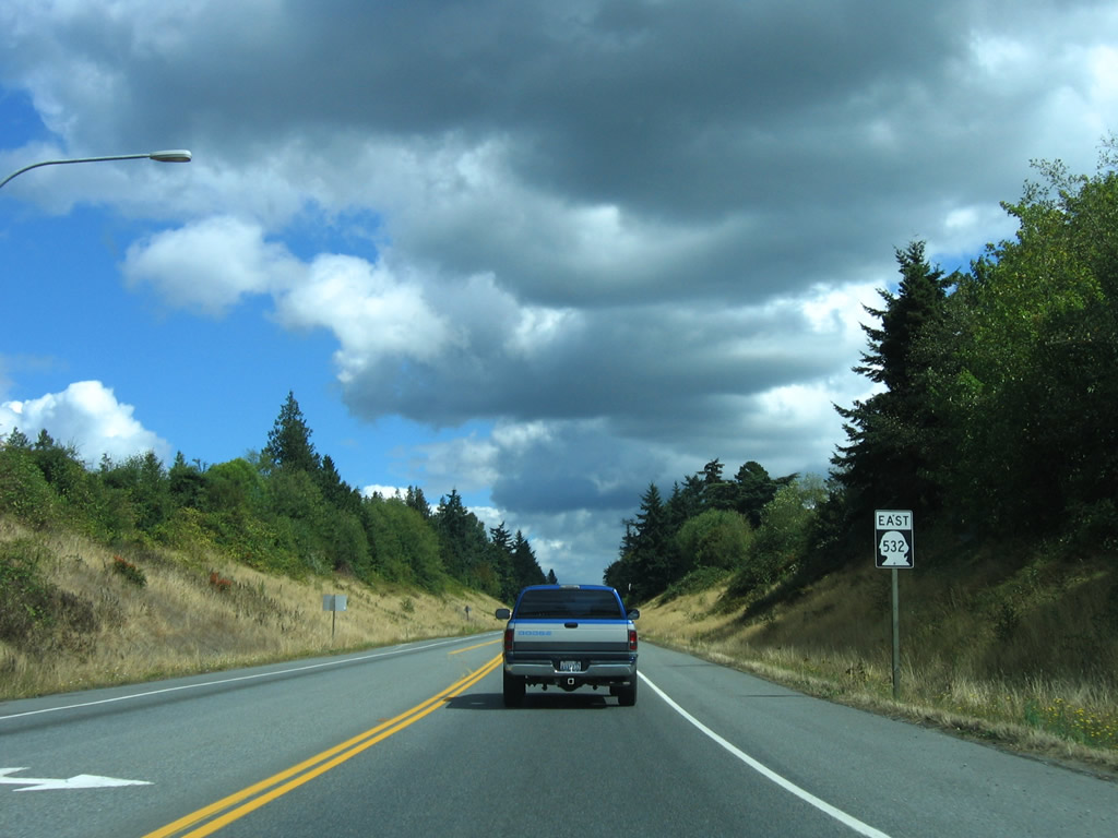
Washington State Route 532 constitutes a 10.09 mile long spur west from Interstate 5 at Exit 212 in Snohomish County to Terrys Corner on Camano Island. SR 532 runs west from a diamond interchange with Interstate 5 to the city of Stanwood. Paralleling to the north is 268th Street NW, the former alignment of SR 1Y west from Pacific Highway (old U.S. 99/SR 1). SR 532 shifts northward onto 268th Street NW at 72nd Avenue NW by Stanwood High School.
SR 532 runs across Stanwood to the West Pass along the Stillaguamish River. The previous route of SR 1Y joined SR 1E along Pioneer Way northwest to Cedarhome Drive at East Stanwood. SR 1Y continued west from Cedarhome Drive along 271st Street NW and 270th Street NW to SR 532 at the Stanwood city center.
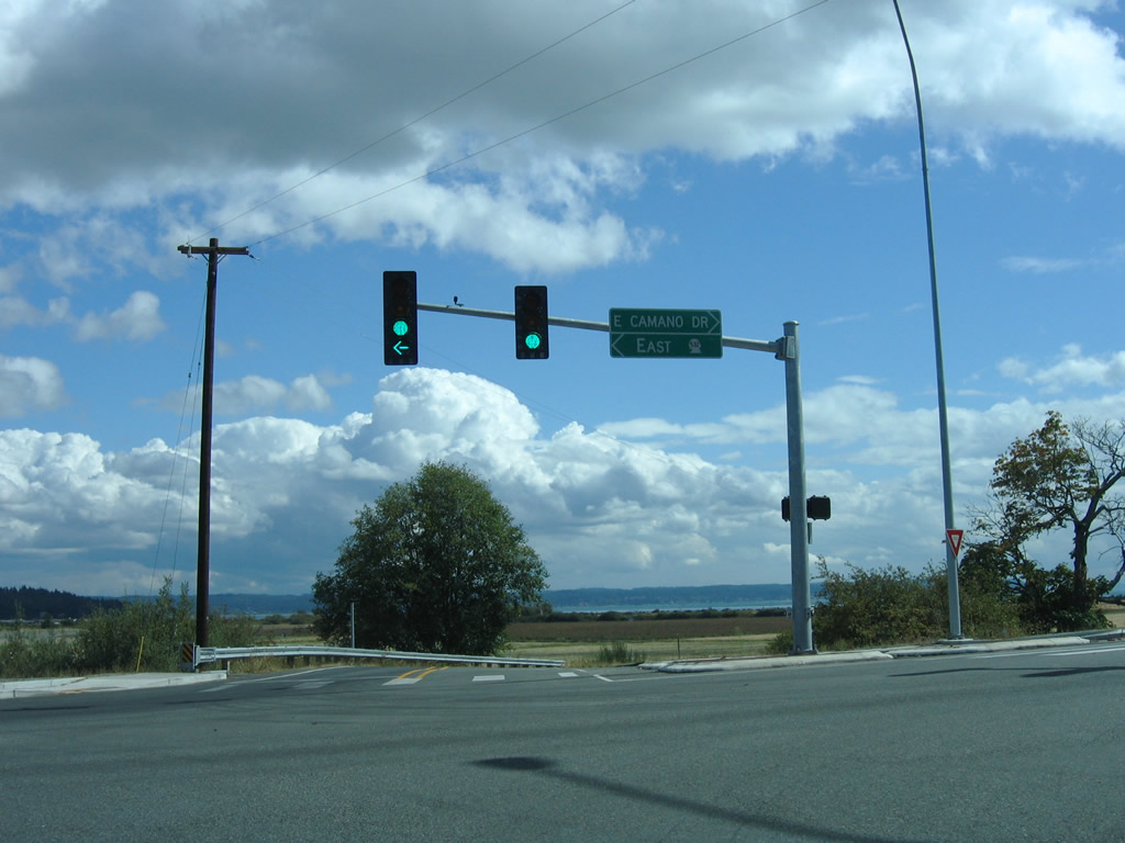
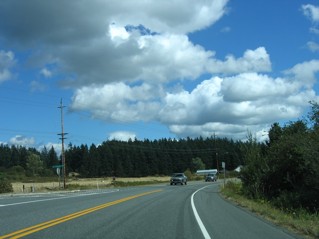
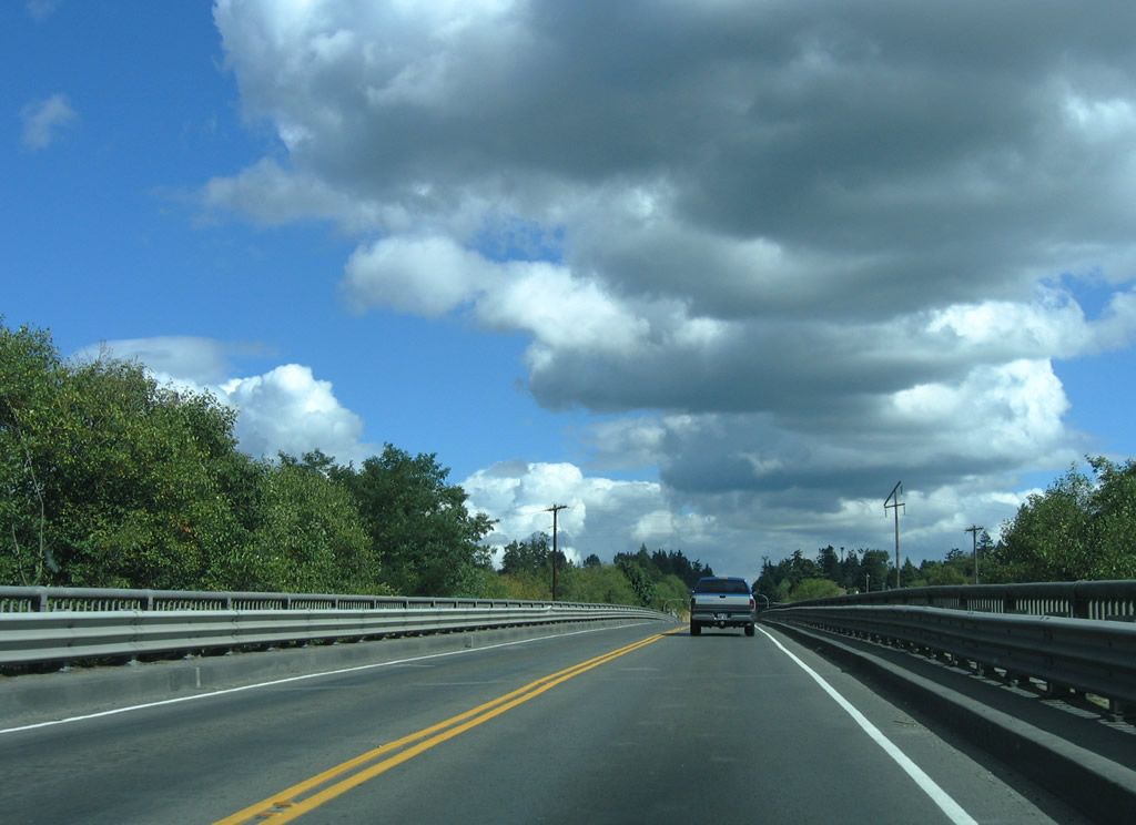
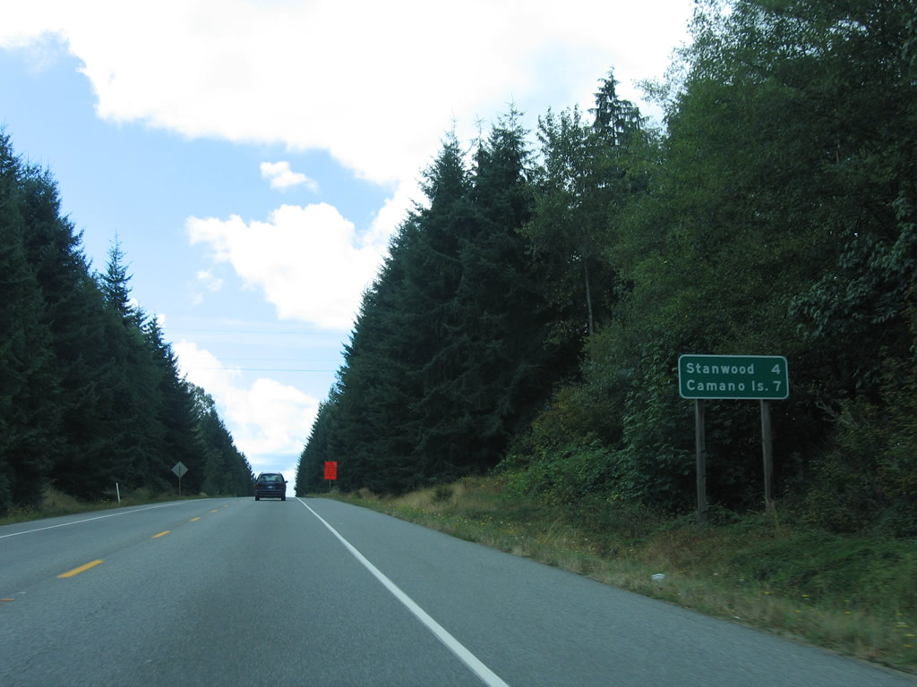
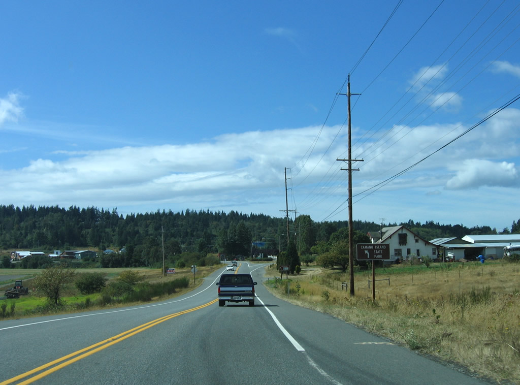
Leaving Stanwood, SR 532 crosses Davis Slough onto Camano Island. The route passes north of Juniper Beach on Livingston Bay to the intersection of Sunrise Boulevard and NE Camano Drive by the Camano Commons Marketplace retail center. E North Camano Drive west to Sunrise Boulevard at Terrys Corner is the old alignment.
|
| Sunrise Boulevard south at the eastbound beginning of SR 532 and NE Camano Drive. 08/30/06 |
|
| A begin shield for SR 532 stands beyond the intersection joining NE Camano Drive and Sunrise Boulevard at Terrys Corner. 08/30/06 |
|
| SR 532 overtakes E North Camano Drive, the former alignment of SR 532 east from Sunrise Boulevard and Terrys Corner. 08/30/06 |
|
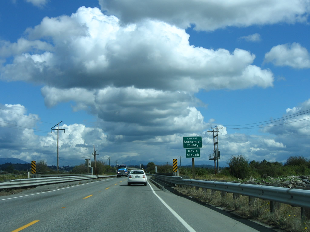
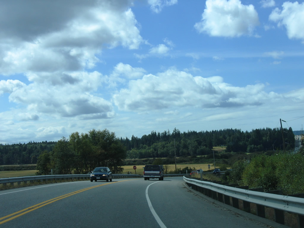
| The Island and Snohomish County line follows Davis Slough across SR 532. SR 532 provides the only land based route from Camano Island to the mainland. 08/30/06 |
|
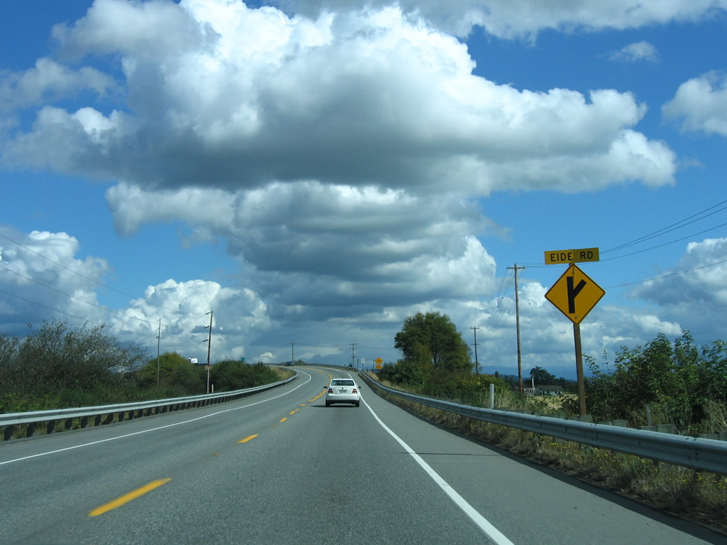
| Eide Road spurs south from SR 532 along the South Pass between the Stillaguamish River and Port Susan. 08/30/06 |
|
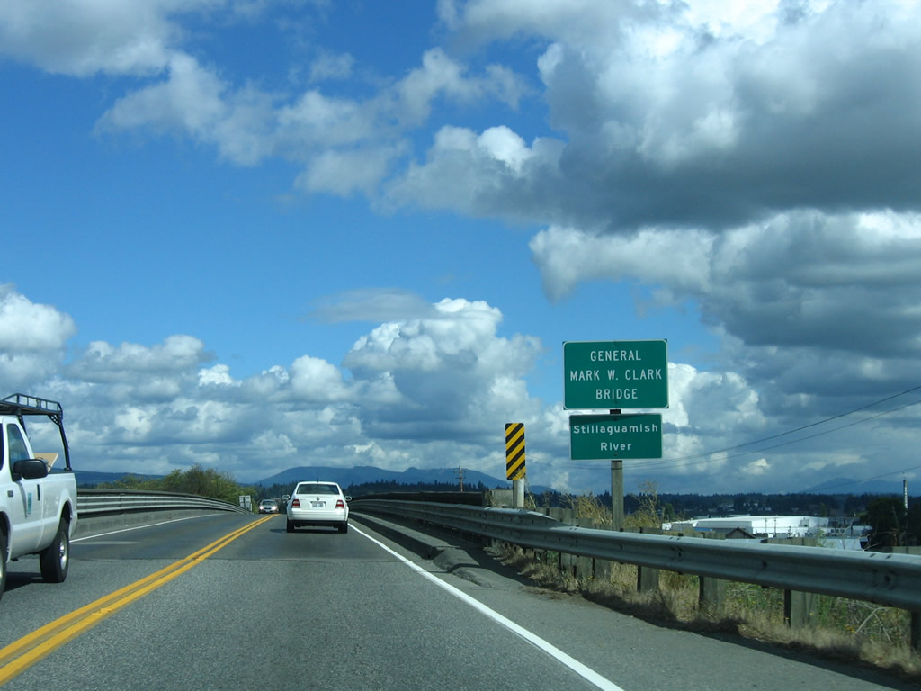
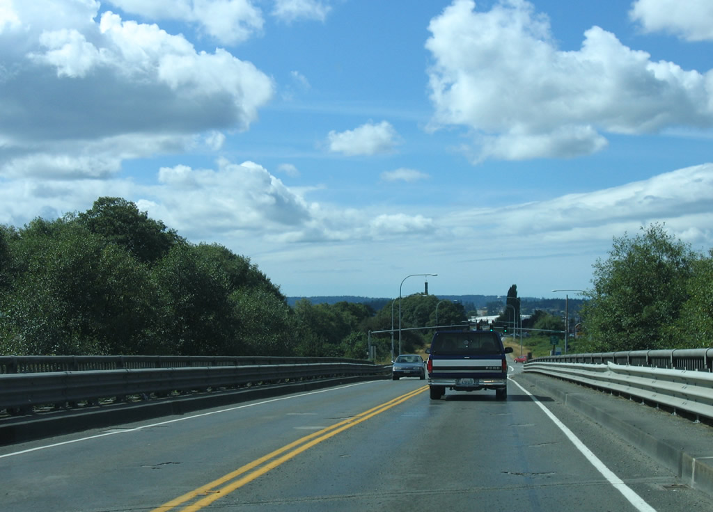
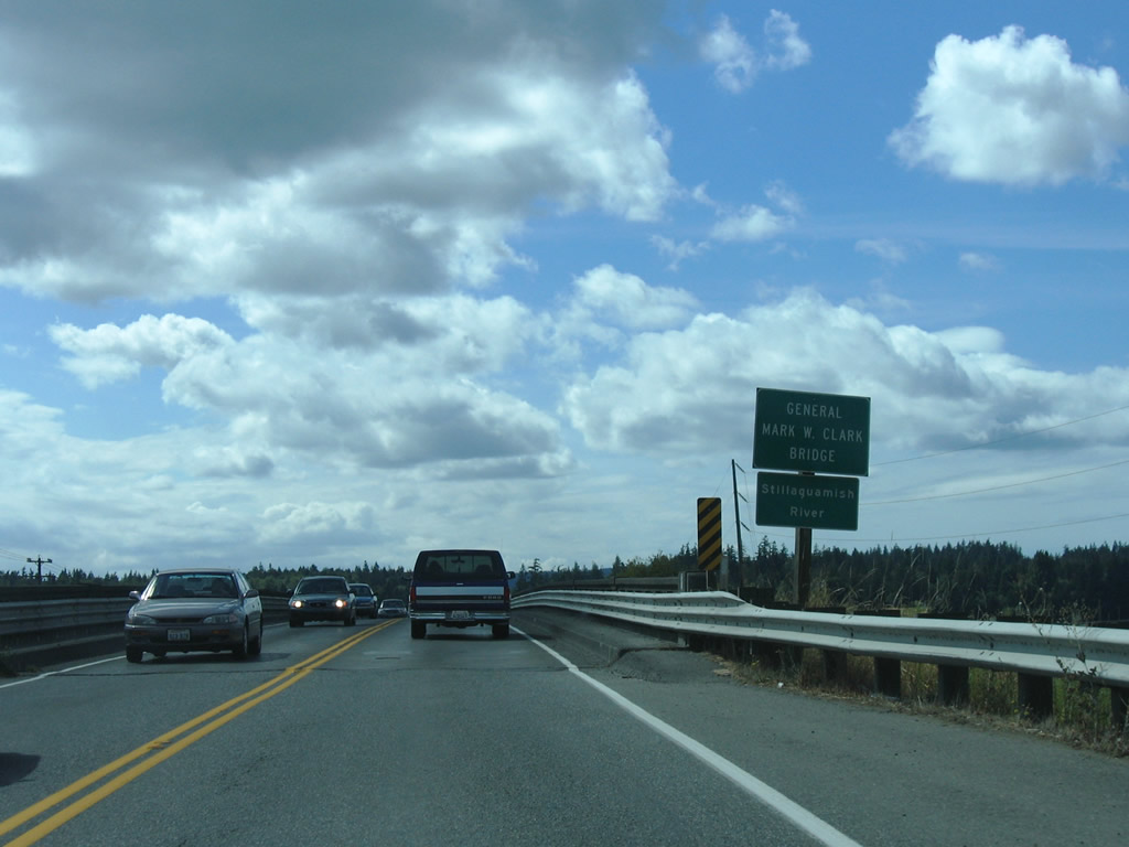
| Built in 1949, the General Mark W. Clark Bridge previously crossed the Stillaguamish River along SR 532 east into Stanwood. Construction completed by August 2010 replaced the narrow bridge with a modern span including 14 foot shoulders.2 08/30/06 |
|
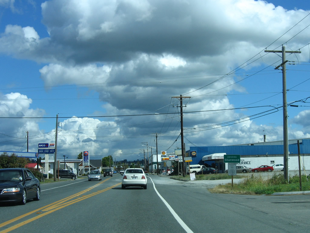
| Continuing east into the city of Stanwood, SR 532 expands to a three lane boulevard. 08/30/06 |
|
| SR 532 reassurance marker posted eastbound after 102nd Avenue NW at the Stanwood city center. 08/30/06 |
|
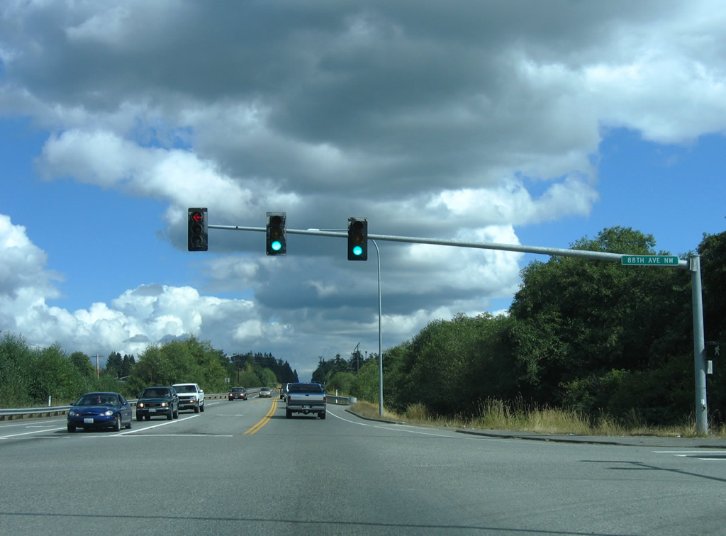
| SR 532 (268th Street NW) east at 88th Avenue NW in Stanwood. 267th Street NW extends east from 88th Avenue south to 84th Avenue NW for Florence. 08/30/06 |
|
| SR 532 crosses over the BNSF Railroad and 84th Avenue NW east of 88th Avenue NW on a bridge dating back to 1960. The narrow two lane span was rehabilitated in 2009. 08/30/06 |
|
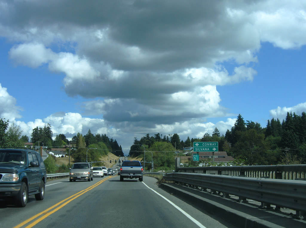
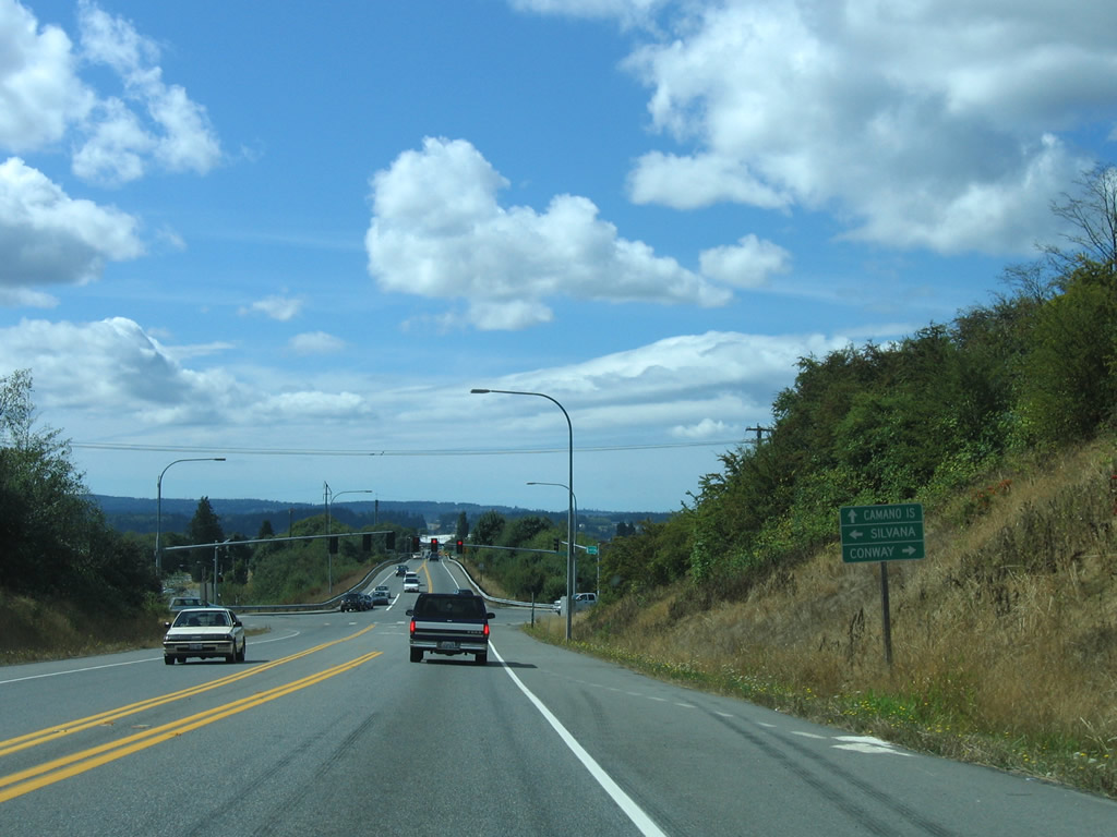
| Pioneer Highway (old SR 530) meets SR 532 (268th Street NW) by East Stanwood. Part of SR 530 until 1991, Pioneer Highway connects Stanwood with Silvana to the southeast and Conway to the north.1 08/30/06 |
|
| SR 532 confirming marker posted east of Pioneer Highway. 08/30/06 |
|
| 72nd Avenue NW intersects SR 532 between Pioneer Highway and 276th Street NW in east Stanwood. A three lane boulevard south from Stanwood High School, 72nd Avenue NW serves adjacent retail and apartments. 08/30/06 |
|
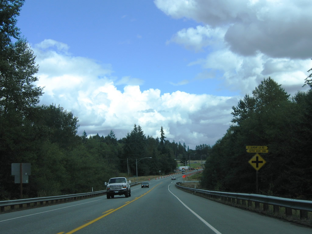
| Sunday Lake Road north and 12th Avenue NW south come together at SR 532 east near Sunday Lake. 08/30/06 |
|
| Old 99 (old U.S. 99) intersects SR 532 east ahead of the diamond interchange with Interstate 5. 08/30/06 |
|
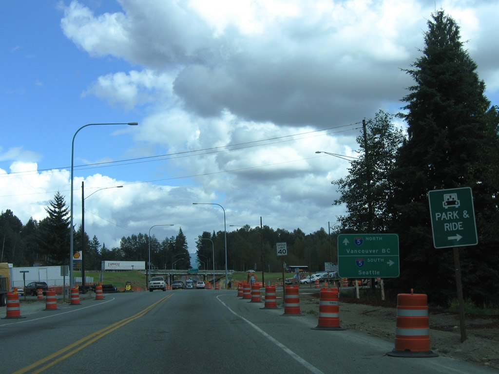
| SR 532 begins at the diamond interchange joining Interstate 5 with Stanwood Bryant Road at Exit 212. The route shifts south from parallel 268th Street SW at the intersection with 12th Avenue NW and Sunday Lake Road. 08/30/06 |
|
| Westbound distance sign posted four miles out from Stanwood and seven miles from Camano Island. 08/30/06 |
|
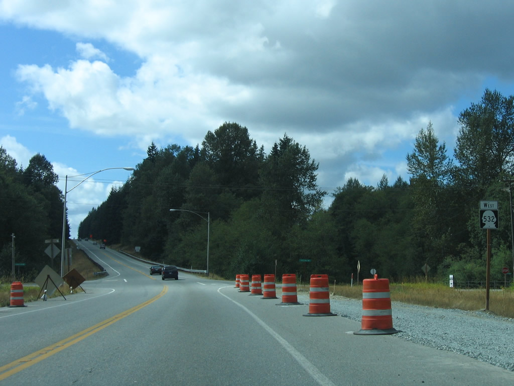
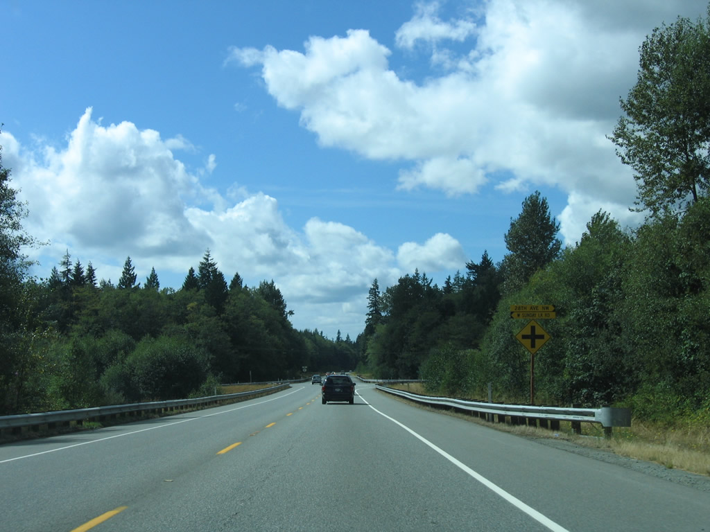
| Most intersections along SR 532 are not signalized. Pictured here is the state route west at Sunday Lake Road south and 28th Avenue NW north. 08/30/06 |
|
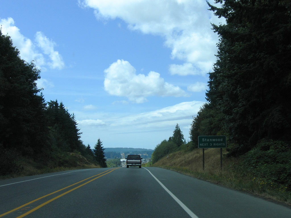
| Entering the city of Stanwood along SR 532 west near 72nd Avenue NW. The state route overtakes 268th Street NW west from 72nd Avenue to the Stanwood city center. 08/30/06 |
|
| Lowering toward the intersection with Pioneer Highway (former SR 530) on 268th Street NW west in Stanwood. 08/30/06 |
|
| SR 532 (268th Street NW) west at Pioneer Highway. Pioneer Highway was part of SR 530 until 1991. The route looped west from I-5 to Silvana and Stanwood and north back to I-5 at Conway.1 08/30/06 |
|
| SR 532 elevates to pass over the BNSF Railroad and 84th Avenue NW west of Pioneer Highway. Built in 1960, the narrow two lane span was rehabilitated in 2009. 08/30/06 |
|
| 88th Avenue NW connects SR 532 (268th Street NW) with a commercial area bound by 271st Street NW to the north and 84th Avenue NW to the east. 84th Avenue leads south to Florence and Warm Beach along Port Susan as Marine Drive. 08/30/06 |
|
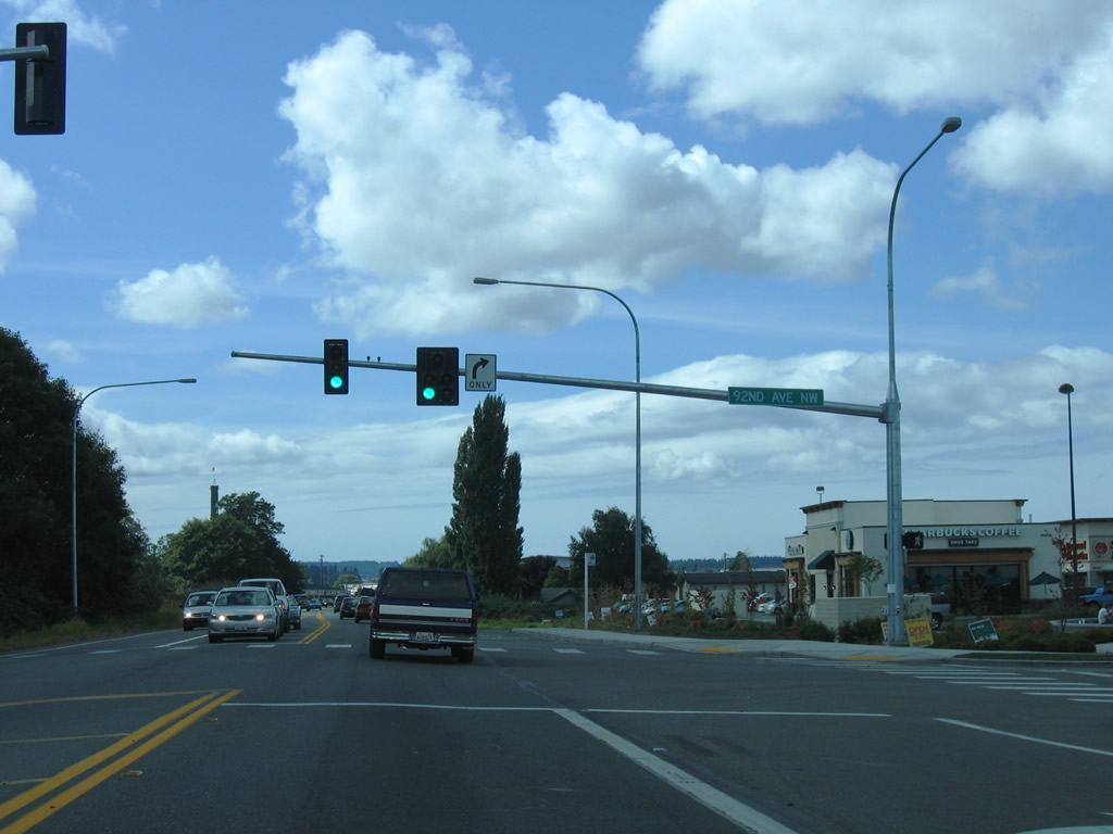
| 92nd Avenue NW leads north from SR 268 to 271st Street NW and 276th Street NW at Heritage Park. 08/30/06 |
|
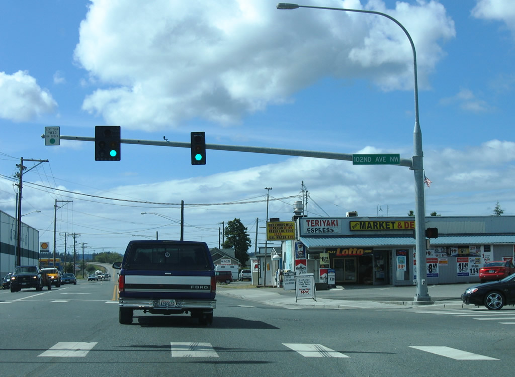
| SR 532 intersects 102nd Avenue NW opposite the Stillguamish River at the Stanwood city center. 102nd Avenue NW leaves the city as Old Pacific Highway to Pioneer Highway (old SR 530). 08/30/06 |
|
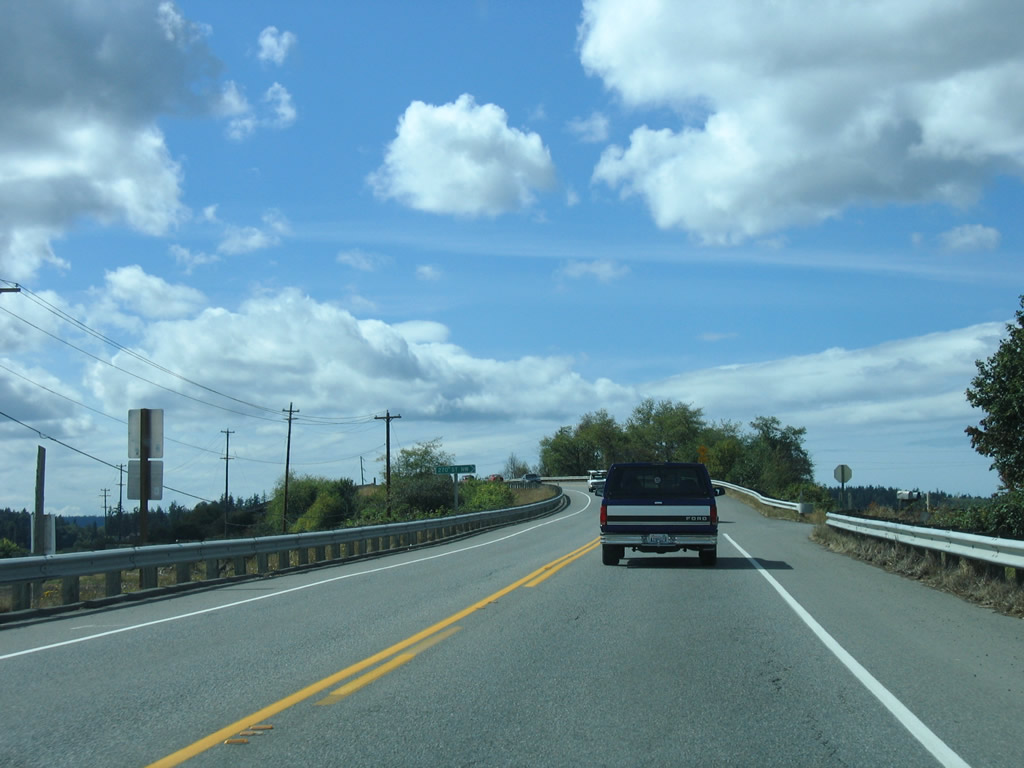
| The General Mark W. Clark Bridge taking SR 532 west over the Stillaguamish River was built in 1949. Construction between July 2009 and August 2010 replaced the span with a wider bridge accommodate two lanes of traffic with 14 foot wide shoulders.2 08/30/06 |
|
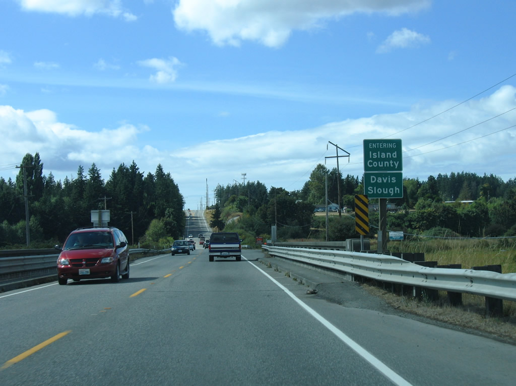
| The bridge built in 1949 along SR 532 across Davis Slough was replaced with a modern span during 2015/16 construction. The slough separates Island County from Snohomish County. 08/30/06 |
|
| E North Camano Drive (old SR 532) branches west from SR 532 at Terrys Corner. NE Camano Drive extends south from SR 532 nearby to Mountain View Road west for Camano Island State Park. 08/30/06 |
|
| North Camano Drive heads west to Utsaladay and Maple Grove Beach along Saratoga Passage. NE Camano Drive leads south to Mountain View Beach and Camano Head. 08/30/06 |
|
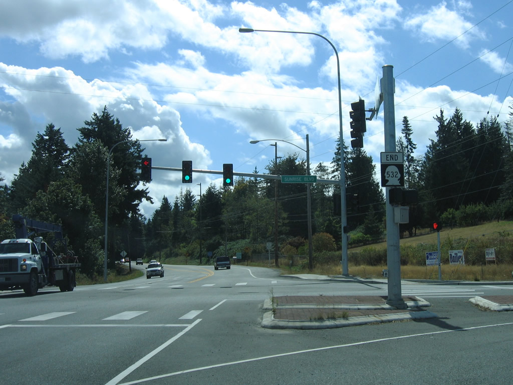
| SR 532 ends at NE Camano Drive and Sunrise Boulevard. Sunrise Boulevard spurs south from Terrys Corner to Sunrise Point and Lona Beach. 08/30/06 |
Page Updated 10-13-2010.

 East
East