|
| Wis 42 south enters the city of Two Rivers to become Lincoln Avenue. 04/16/16 |
|
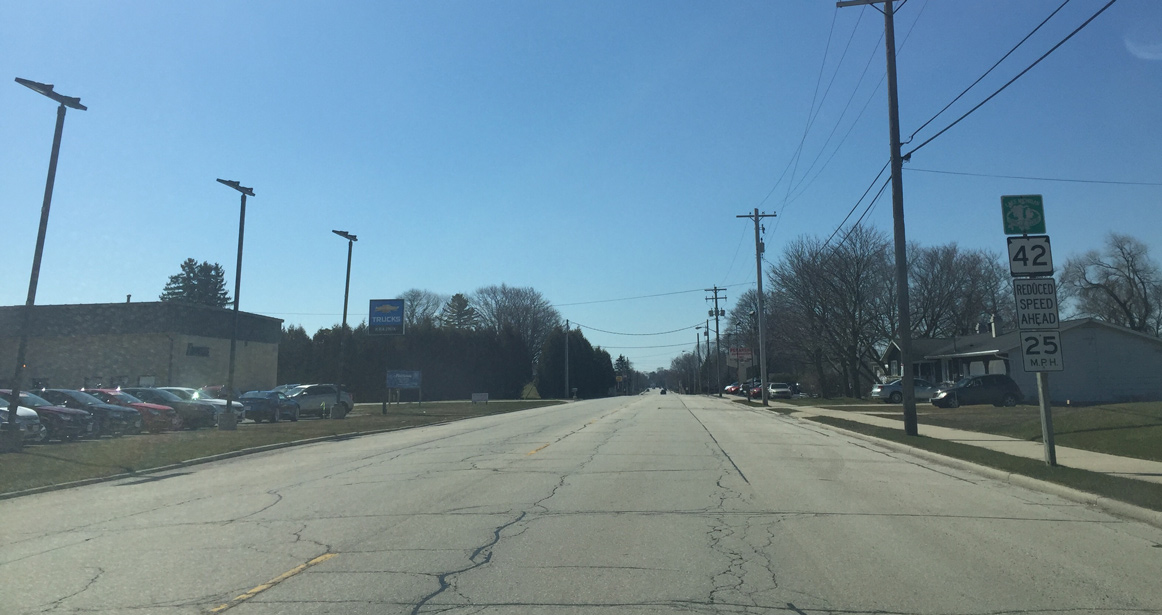
| Reassurance marker for Wis 42 (Lincoln Avenue) posted after 34th Street in Two Rivers. The trunk highway is about to enter a more densely developed area as the speed limit is about to drop to 25 miles per hour. The reduced speed ahead sign is what Wisconsin used before the new federally mandated reduced speed signs were introduced in 2005. 04/16/16 |
|
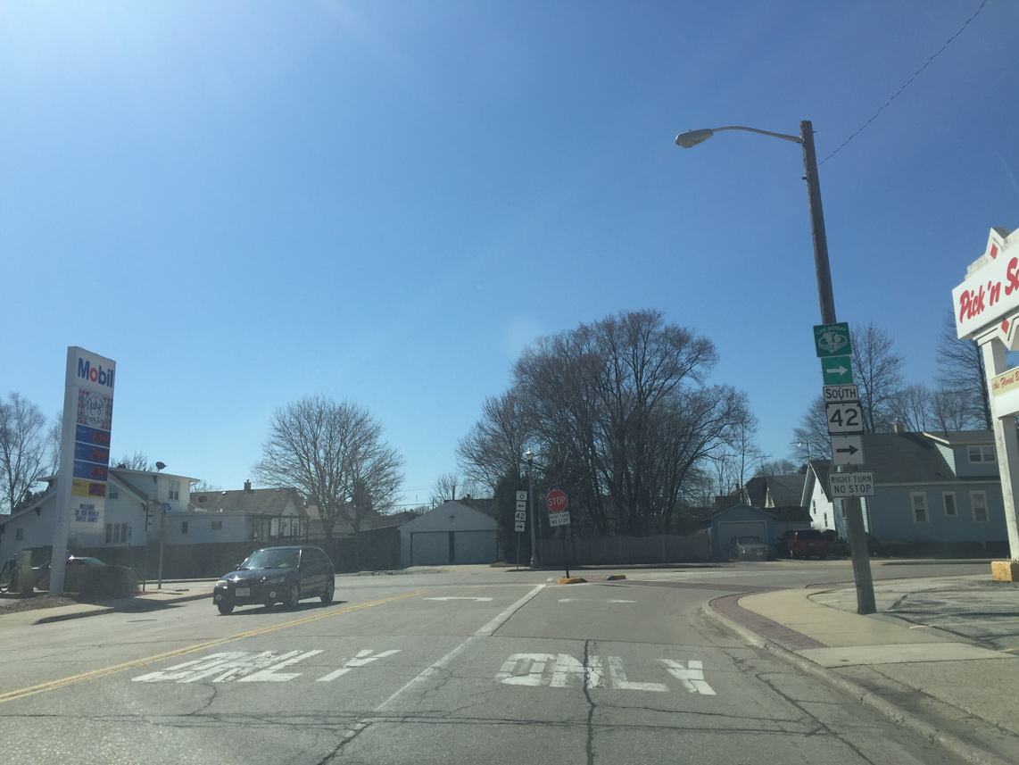
| Wis 42 south comes to a T intersection with County O (22nd Street). Traffic continuing along Wis 42 does not have to stop as it turns right onto 22nd Street. County O meanwhile leads to Point Beach State Forest. 04/16/16 |
|
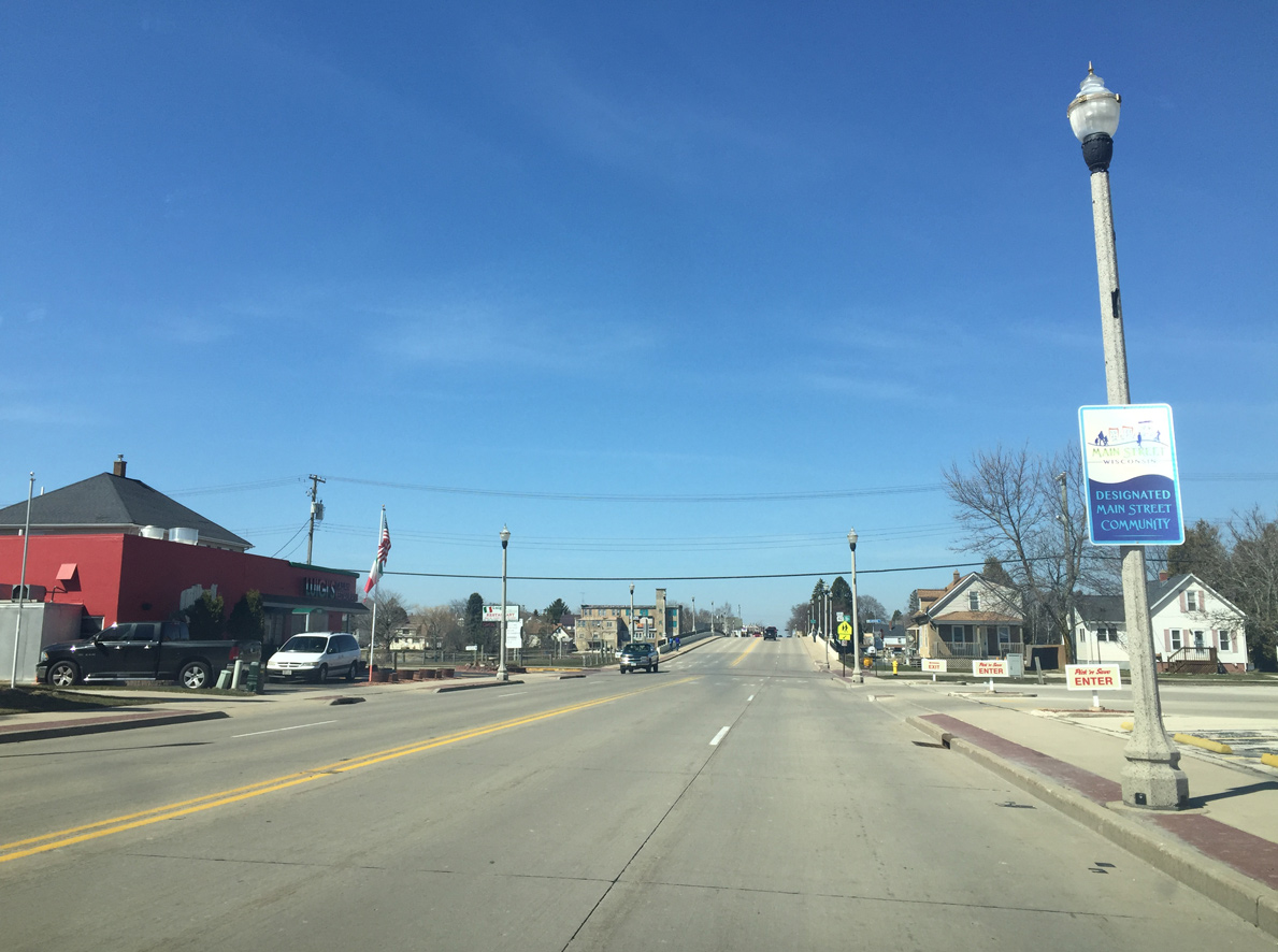
| With traffic added from STH-42, 22nd Street expands to four lanes. 04/16/16 |
|
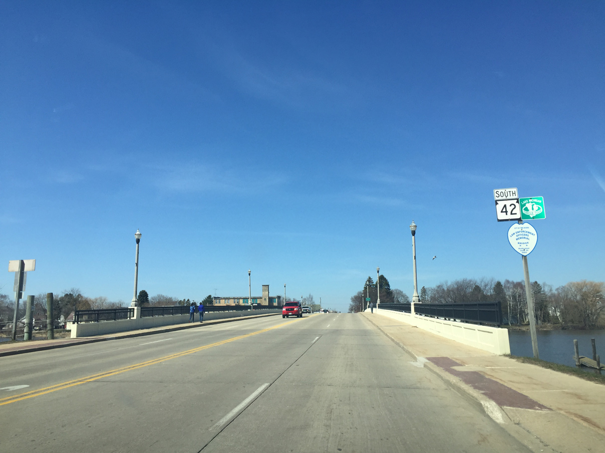
| Reassurance shields for both Wis 42 and the Lake Michigan Circle Tour posted at the Law Enforcement Officers Memorial Bridge spanning the East Twin River. 04/16/16 |
|
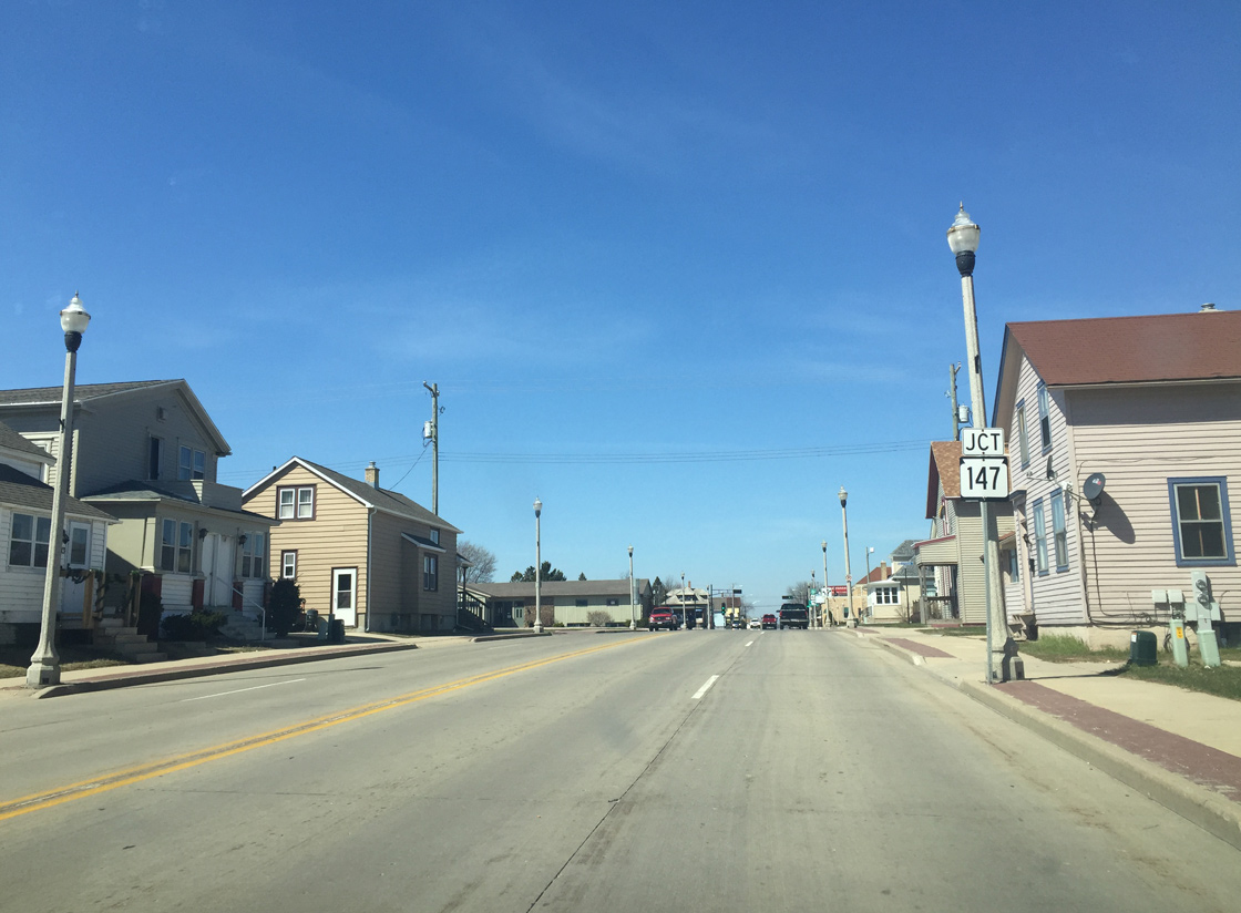
| Two blocks west of the East Twin River, Wis 42 (22nd Street) approaches the south end of Wis 147. Wis 147 passes through Mishicot and ends at Interstate 43 on the outskirts of Maribel. 04/16/16 |
|
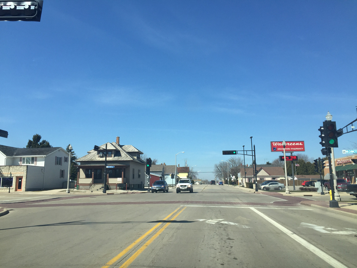
| Wis 42 continues to the left onto Washington Street while Wis 147 lines 22nd Street west for two blocks to Forest Avenue north. 04/16/16 |
|
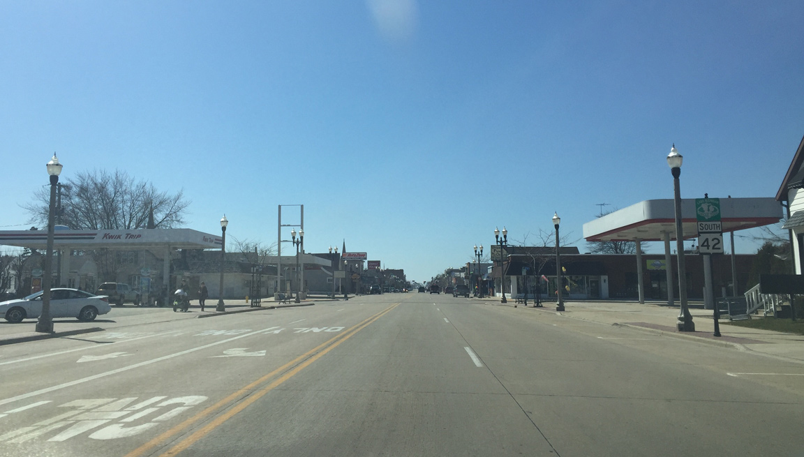
| The first reassurance sign for STH-42 on Washington Street appears south of STH-147 (22nd Street). 04/16/16 |
|
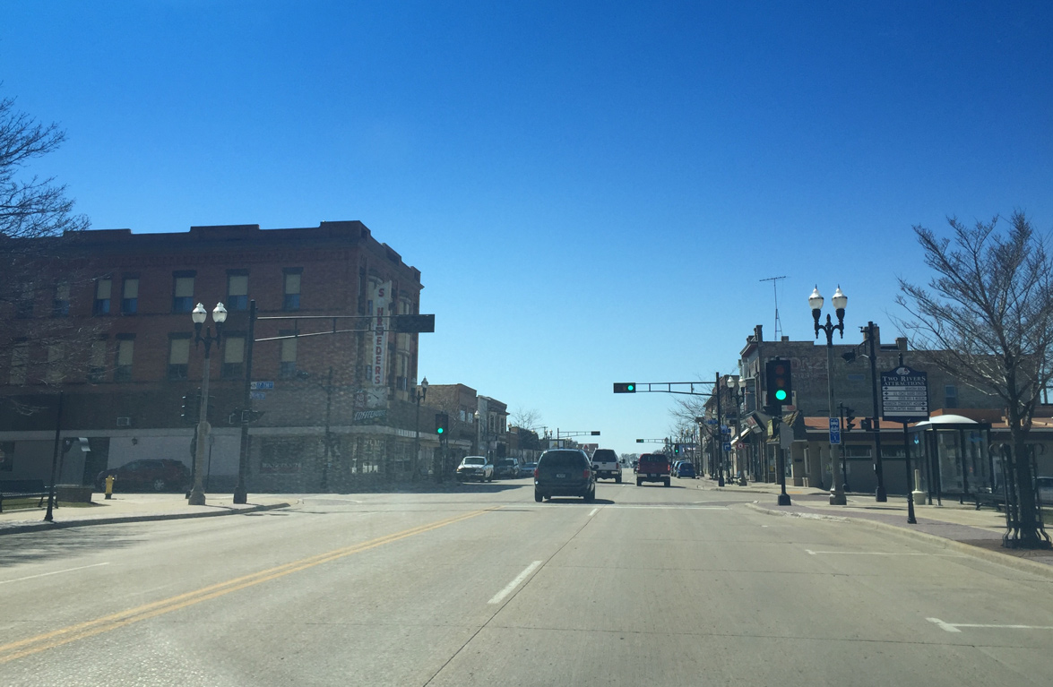
| Southbound Wis 42 reaches Downtown Two Rivers at the historic Schroeder's Department Store and 17th Street. 17th Street provides another East Twin River crossing. The 17th Street span is the only drawbridge in Two Rivers to allow commercial fishing boats to pass. 04/16/16 |
|
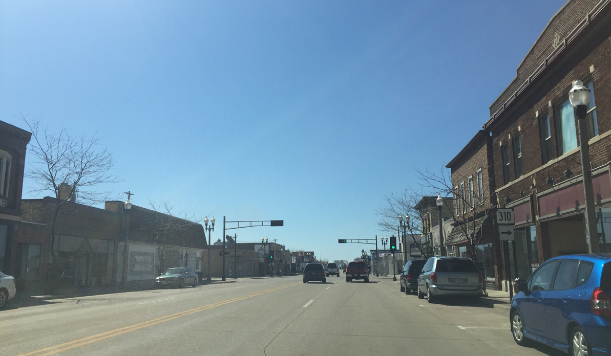
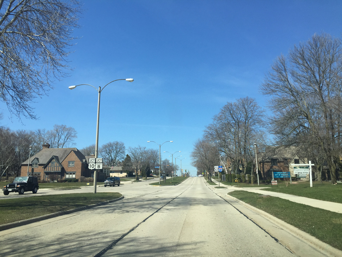
| One block further south, Wis 42 intersects the east end of Wis 310 (16th Street). Wis 310 travels just 8.7 miles as it connects Twin Rivers with U.S. 10 and Interstate 43. 04/16/16 |
|
| Confirming marker for STH-42 south posted after STH-310 on Washington Street. 04/16/16 |
|
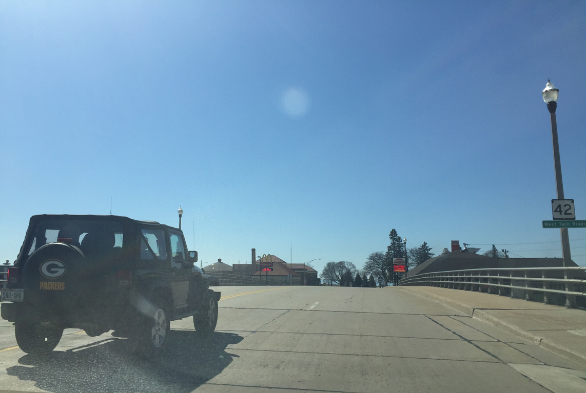
| Wis 42 spans the West Twin River next to its confluence with the East Twin River and their channel to Lake Michigan. 04/16/16 |
|
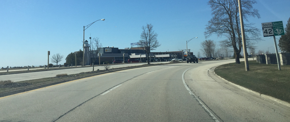
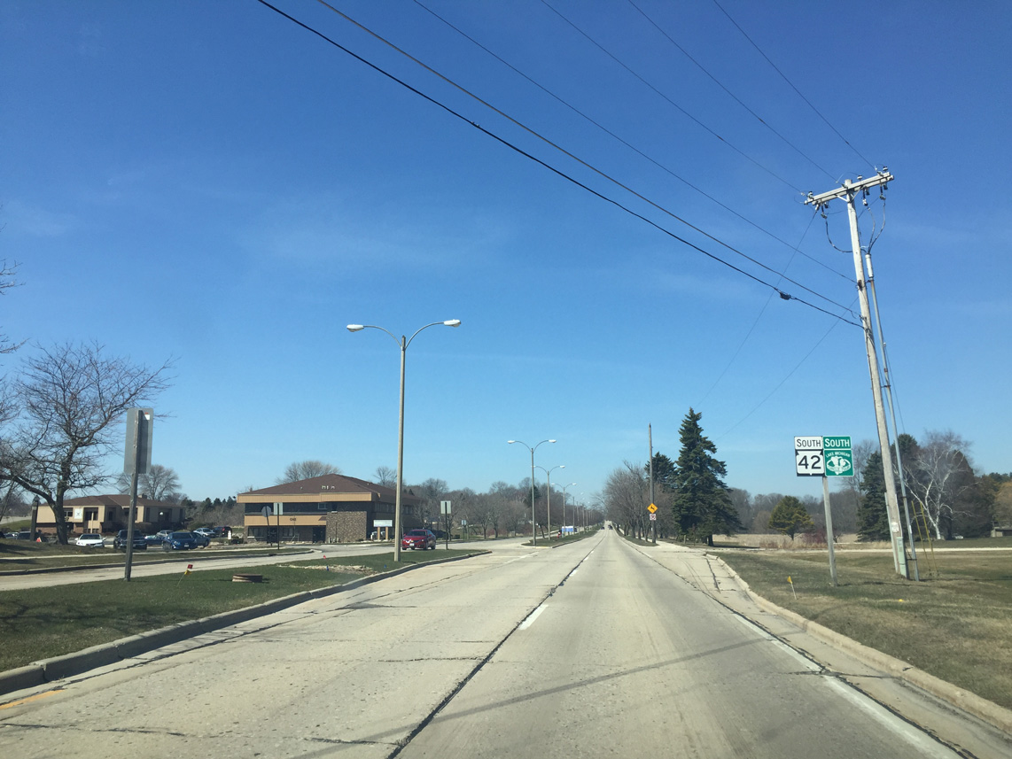
| Wis 42 curves southwest at Lake Michigan to run directly along the lake shore. 04/16/16 |
|
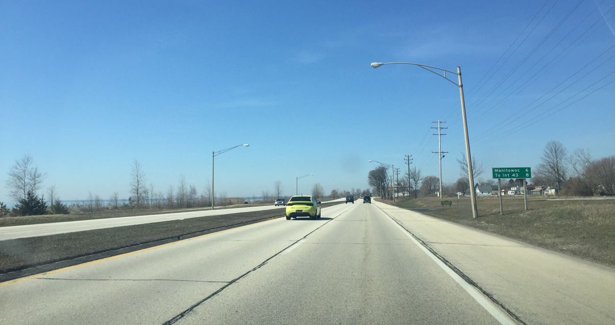
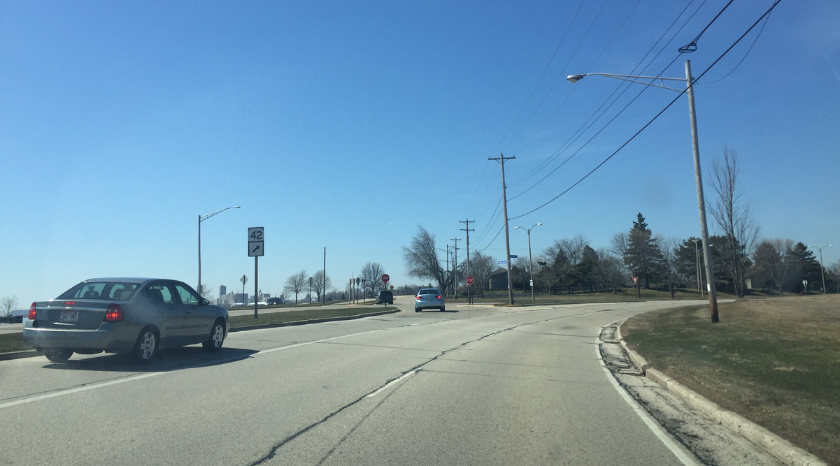
| Downtown Manitowoc is six miles away as I-43 is eight miles ahead. 04/16/16 |
|
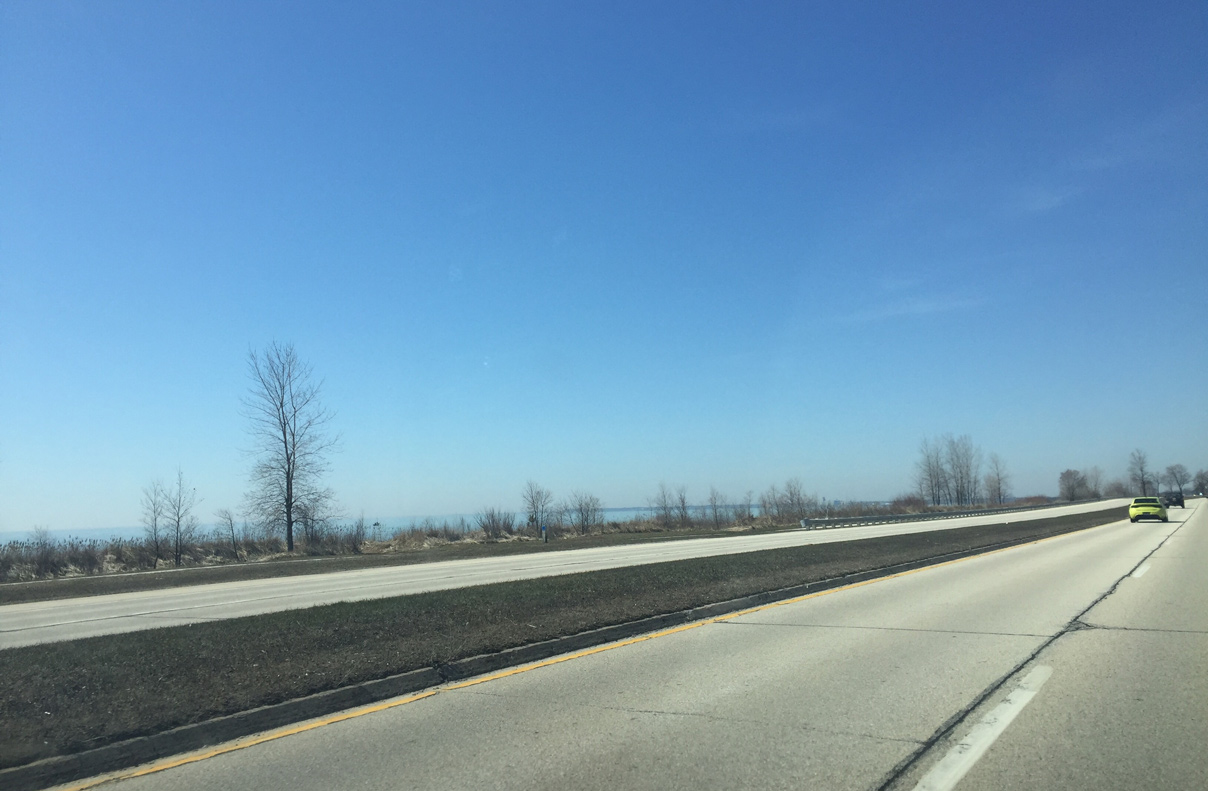
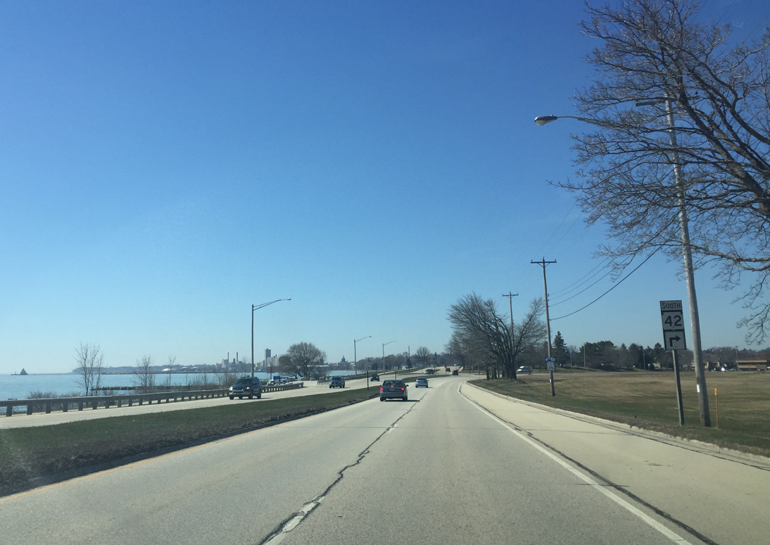
| Lake Michigan is visible along Wis 42 between Manitowoc and Two Rivers. 04/16/16 |
|
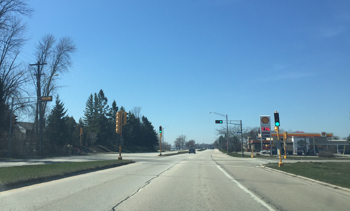
| Traffic signals operate along STH-42 (Memorial Drive) south at Taylor Street to serve Aurora Hospital. The trunk highway enters the city limits of Manitowoc next. 04/16/16 |
|
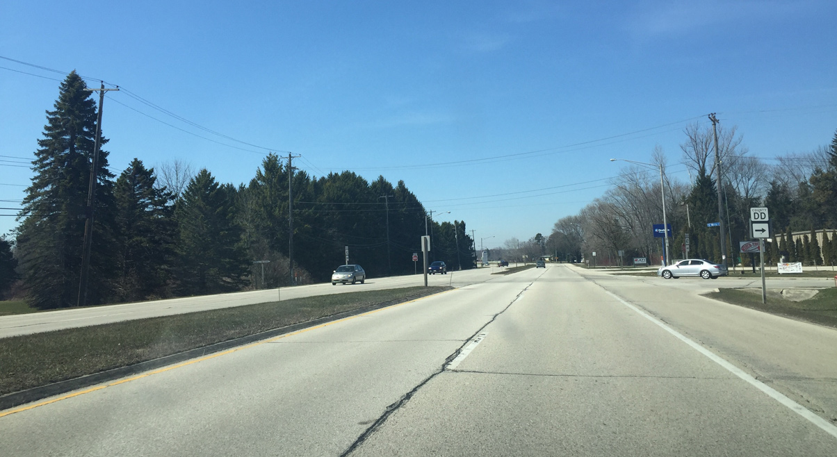
| County DD is a short connector between Wis 42 (Memorial Drive) and Wis 310. It is also named Mirro Drive after the large Mirro plant that ceased operations in the mid 2000s. 04/16/16 |
|
| Reed Avenue stems west from Wis 42 to County B (8th Street). Mid Cities Mall was located here, but was torn down in 2015 after being abandoned in 2000. 04/16/16 |
|
| Wis 42 curves onto Waldo Boulevard at the approaching intersection. 04/16/16 |
|
| Maritime Drive continues straight along the Lake Michigan waterfront while STH-42 turns west. The drive comprises a four lane road that leads past the Manitowoc Marina and Wisconsin Maritime Museum toward Downtown. 04/16/16 |
|
| Waldo Boulevard takes Wis 42 west across the Manitowoc River beyond this set of reassurance markers. 04/16/16 |
|
| Waldo Boulevard mainly consists of a residential areas through Manitowoc. 04/16/16 |
|
| Approaching County B (8th Street) north and U.S. 10 (8th / 11th Streets) on Wis 42 (Waldo Boulevard) west. U.S. 10 splits between two one way pairs into Downtown Manitowoc until Madison Street where it leads to the SS Badger Carferry Dock. 04/16/16 |
|
| 8th Street flows north as U.S. 10 west leading to Wis 42 (Waldo Boulevard). U.S. 10 west accompanies Wis 42 straight ahead while County B to the right heads north to Mishicot.
County B is the rare county road signed within the City of Manitowoc. 04/16/16 |
Page Updated 06-06-2016.