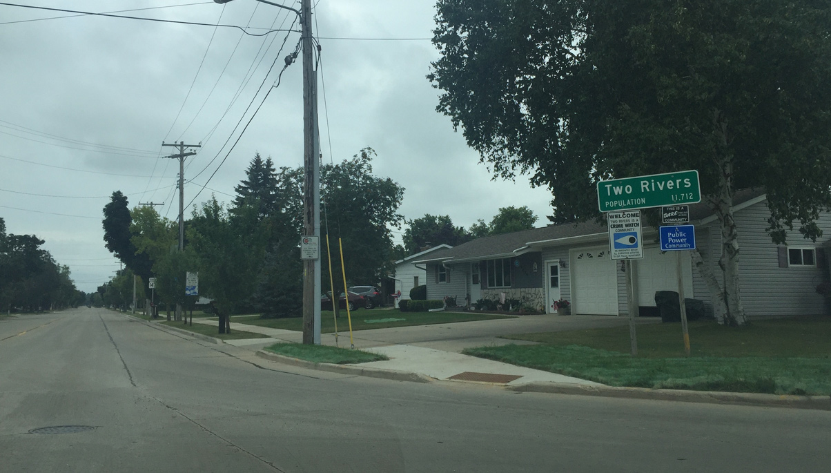
Wis 147 is a 14.9 mile long route in Manitowoc County connecting Maribel, Mishicot and Two Rivers. The trunk highway originates at the exchange joining Interstate 43 with County Z to the north and at Wis 42 (22nd / Washington Streets) north of Downtown Two Rivers to the south.
|
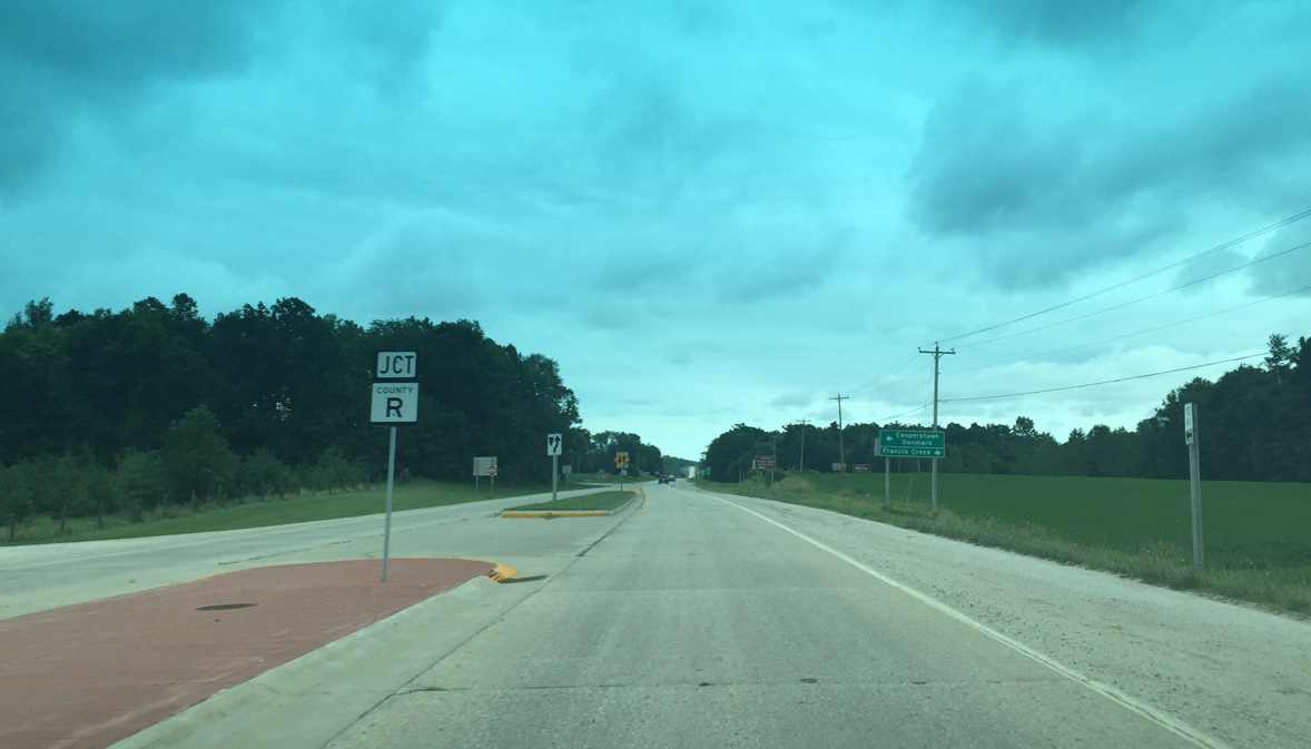
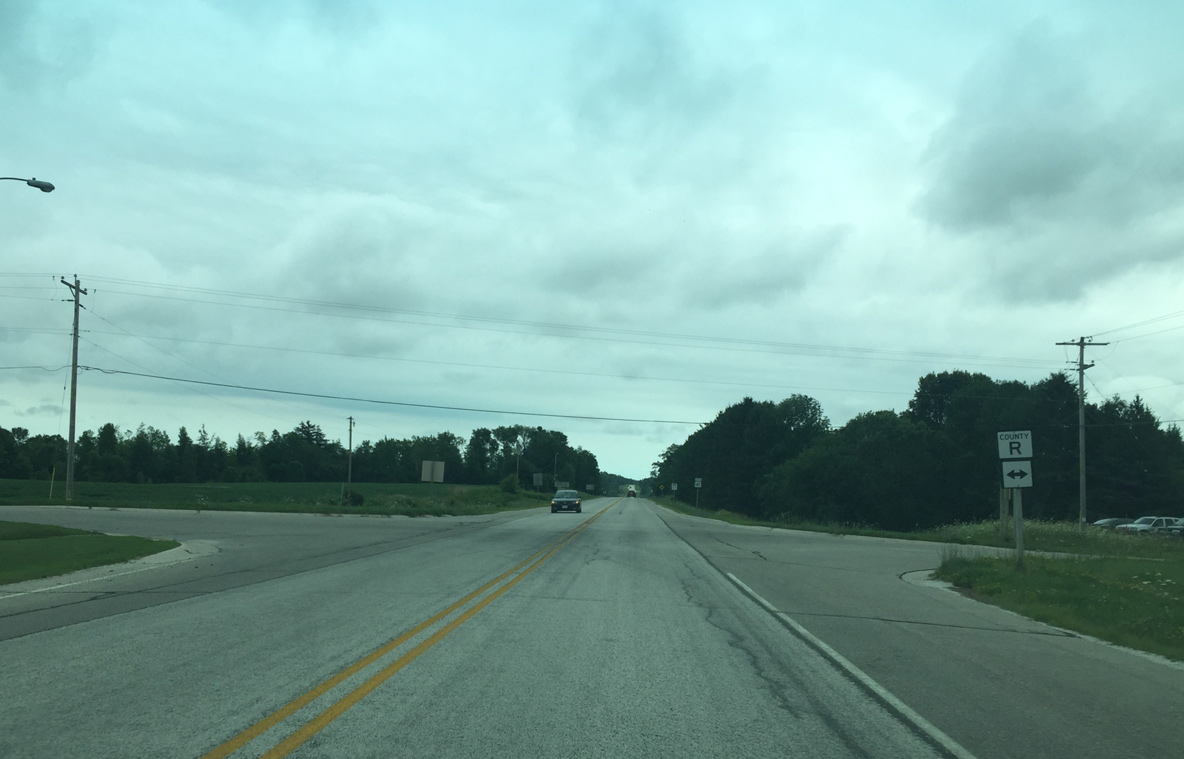
| County R is former U.S. 141, which was replaced by Interstate 43 when the freeway was completed. 07/28/16 |
|
| Wis 147 ended at CTH R before I-43 was completed. 07/28/16 |
|
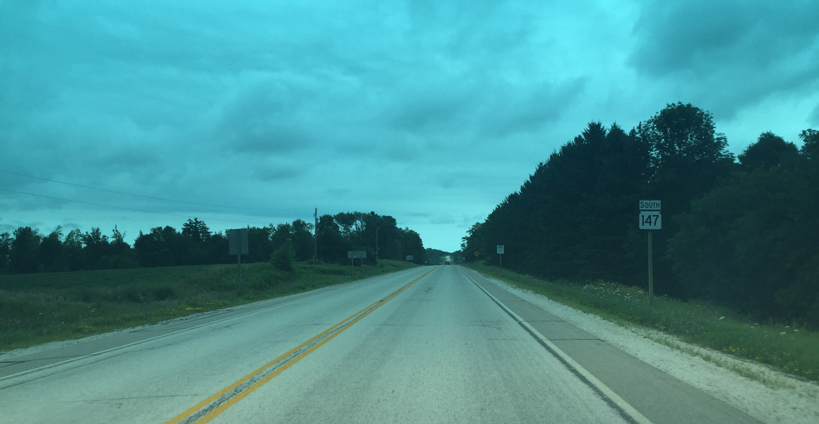
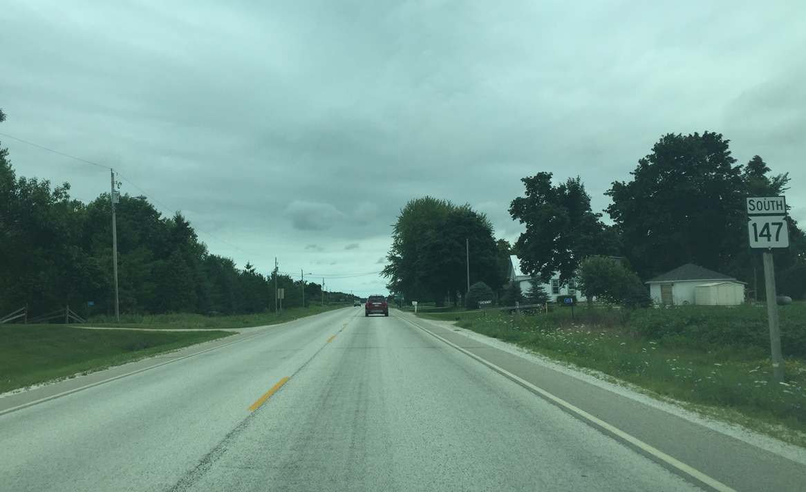
| First Wis 147 reassurance sign posted southbound. 07/28/16 |
|
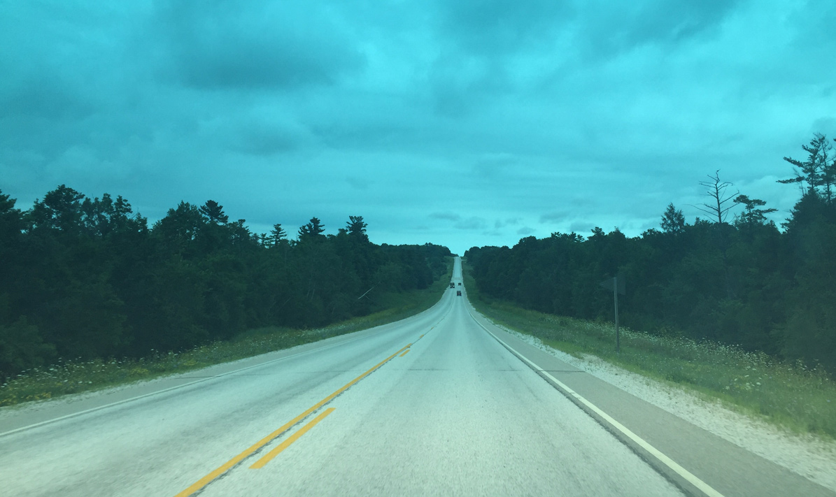
| Traveling down the West Twin River Valley. The pavement was chip sealed to better preserve the asphalt underneath. Chip sealing involves spraying oil on the road surface and covering it with pea gravel. 07/28/16 |
|
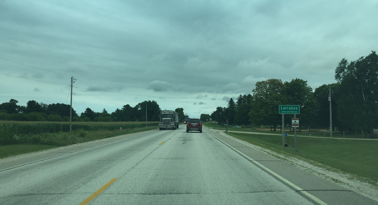
| STH 147 angles southeast to Larrabee, where it crosses paths with CTH Q. 07/28/16 |
|
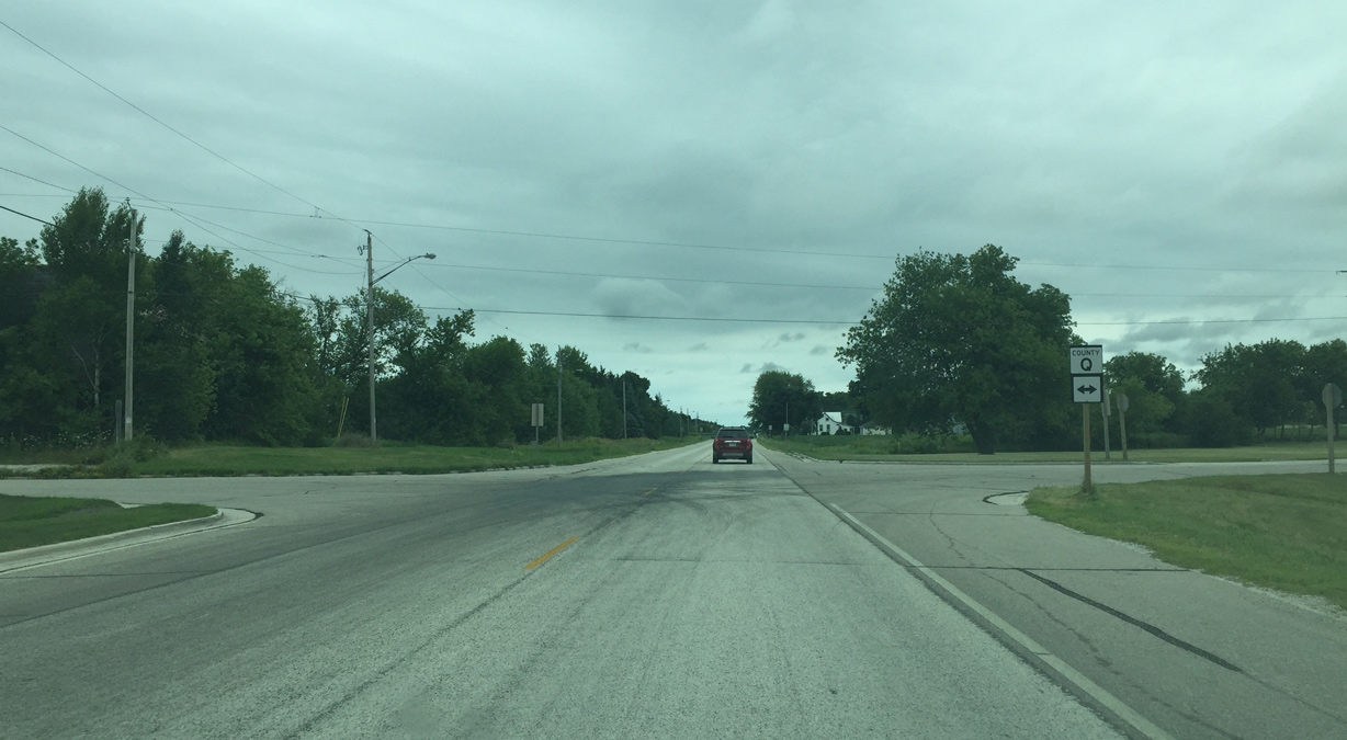
| County Q leads to Manitowoc 07/28/16 |
|
| Wis 147 reassurance after County Q 07/28/16 |
|
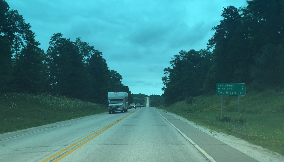
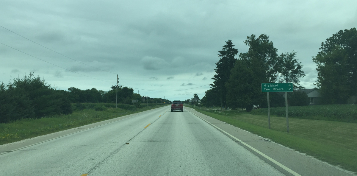
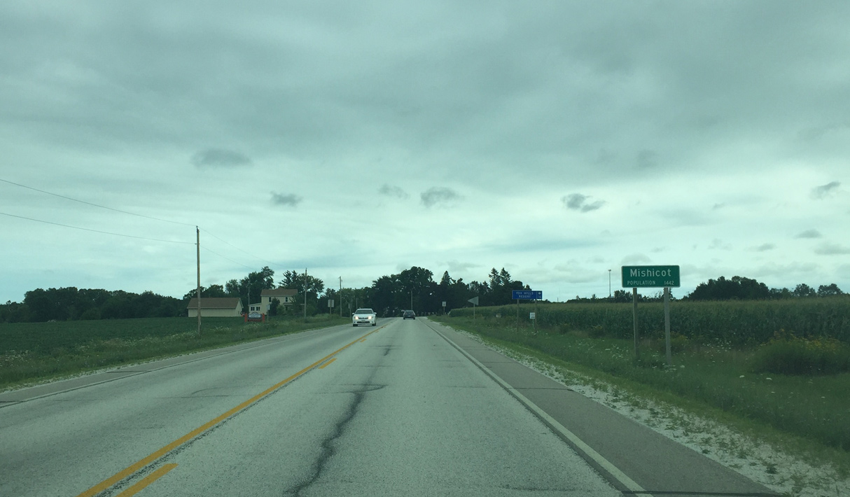
| Mischicot lies four miles southeast of Larrabee. 07/28/16 |
|
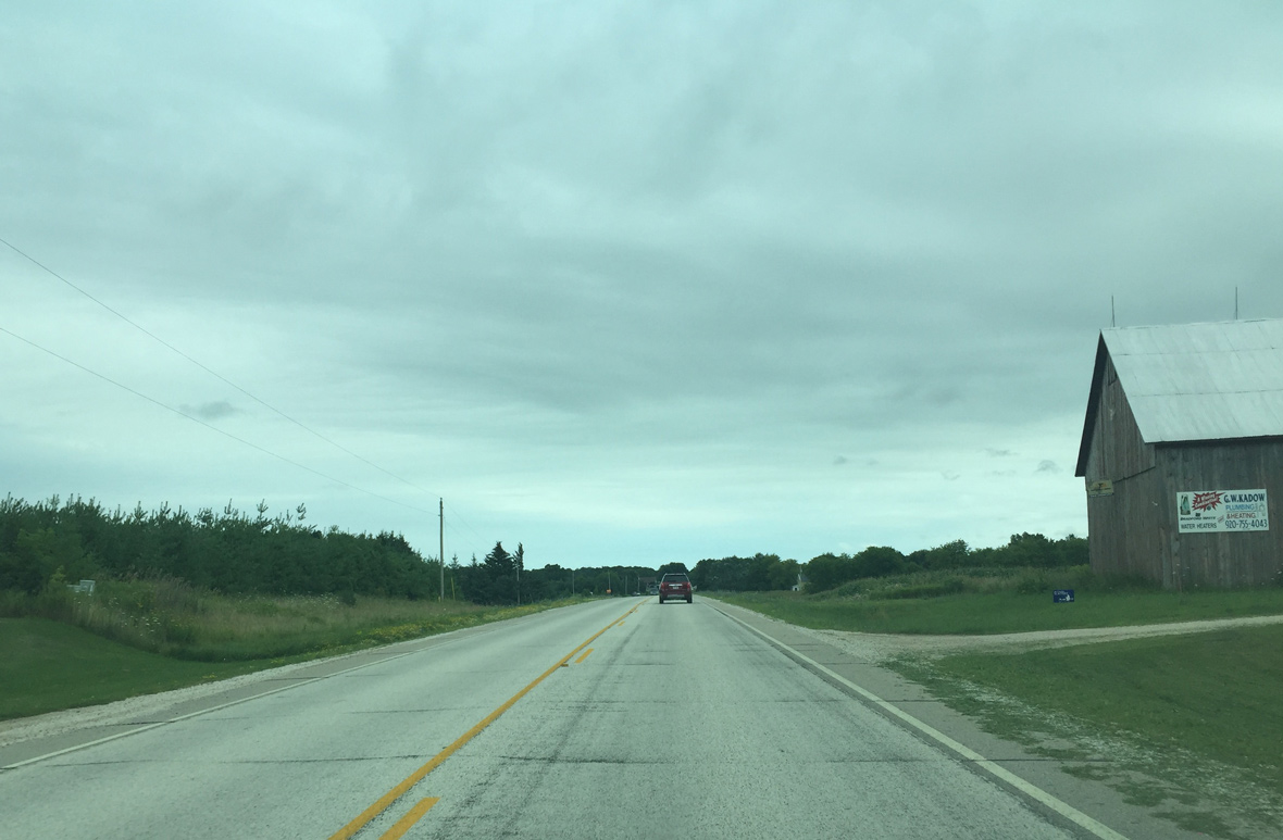
| Continuing east past Cherney Road 07/28/16 |
|
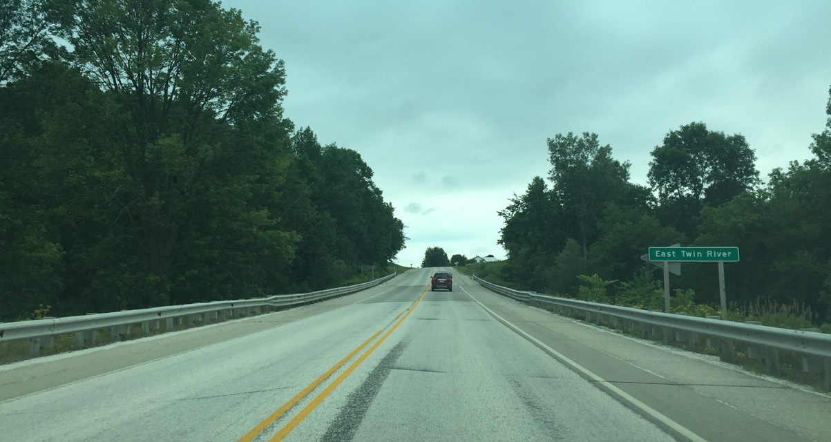
| Wis 147 spans the East Twin River outside Mishicot. 07/28/16 |
|
| Entering Mishicot 07/28/16 |
|
| County B north of Wis 147 was formerly Wis 163. The road was transferred to county control in 1998. 07/28/16 |
|
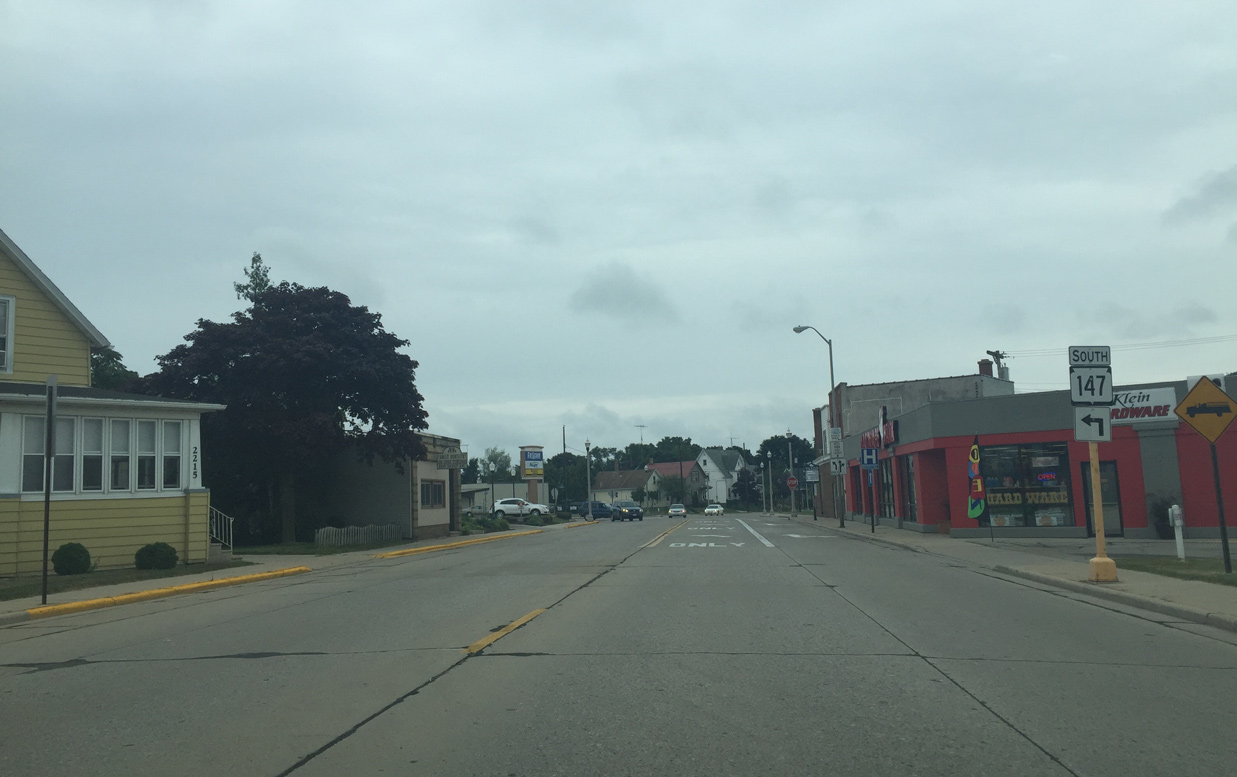
| Luxemburg is where the former state highway ended. 07/28/16 |
|
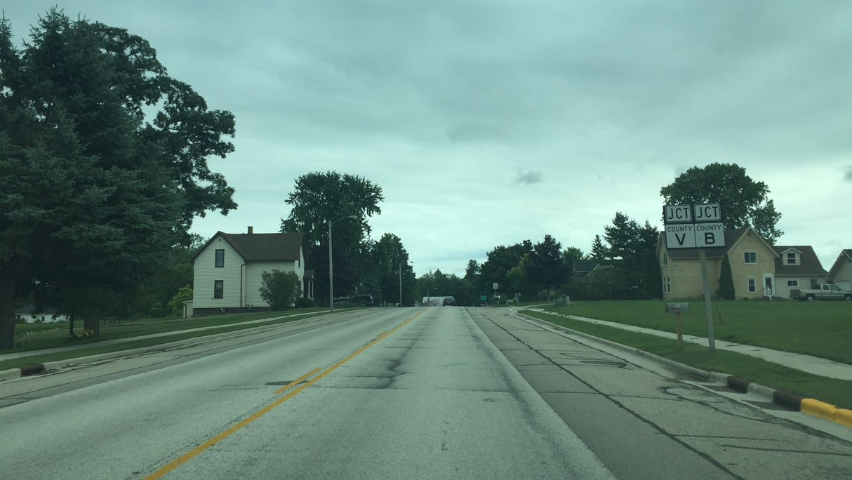
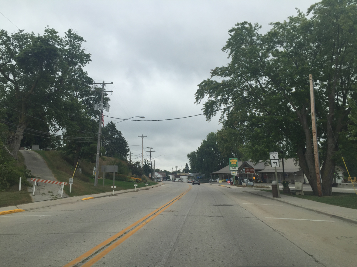
| County V continues on a brief concurrency with Wis 147 07/28/16 |
|
| County V quickly turns east onto Randolph Street after joining Wis 147 (Main Street). 08/12/16 |
|
| County V leads from Mishicot to Wis 42 and Point Beach State Forest along Lake Michigan. 08/12/16 |
|
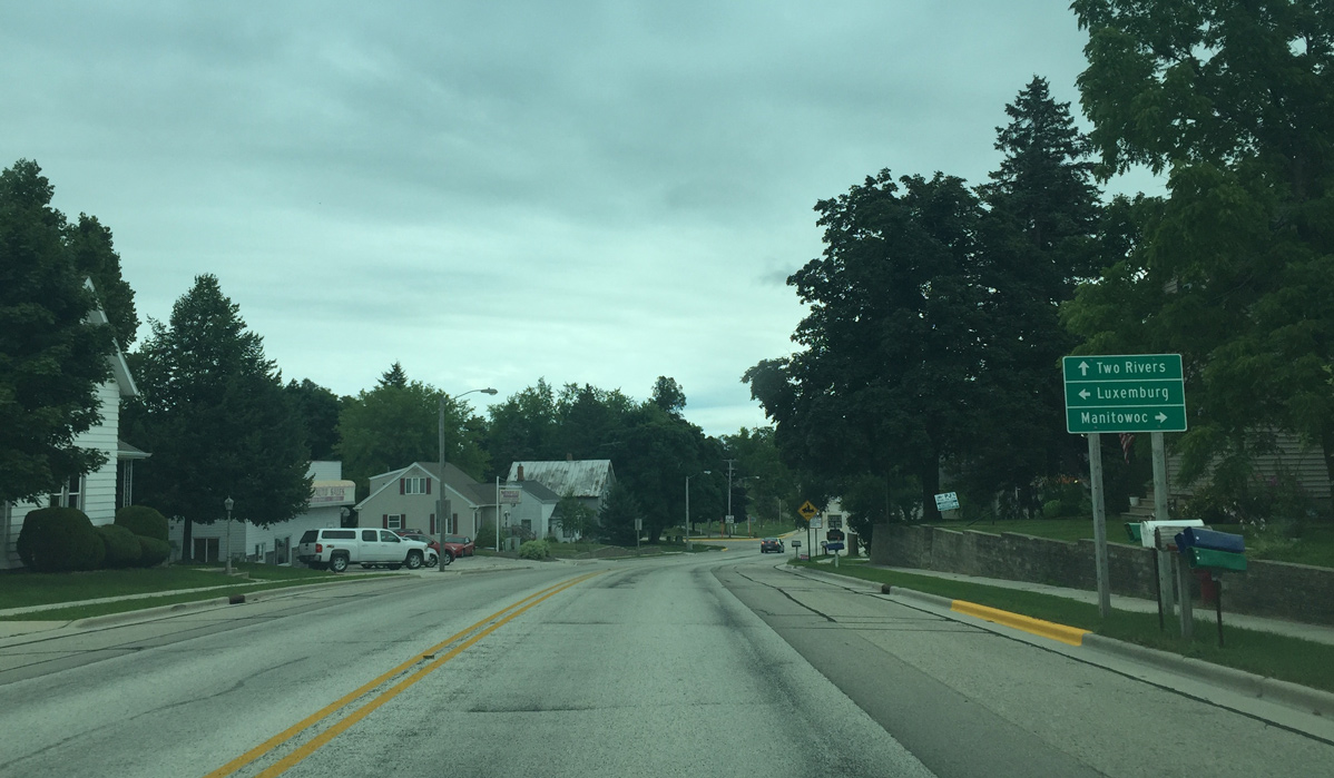
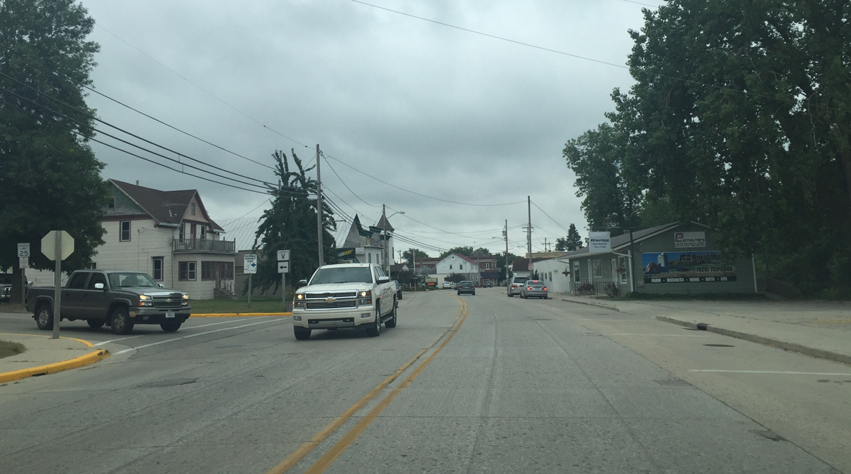
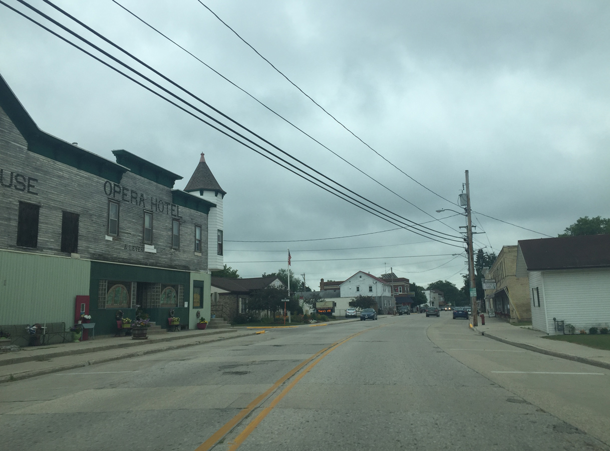
| Downtown Mishicit 08/12/16 |
|
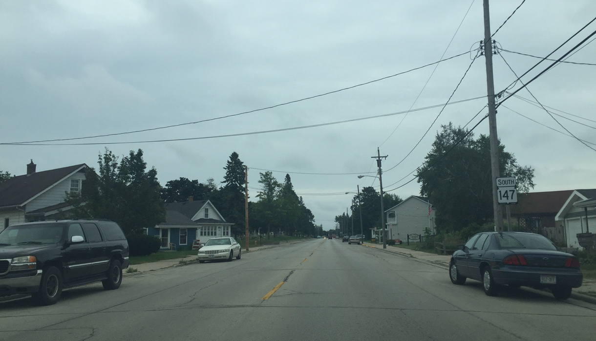
| Wis 147 (Main Street) turns southward at Washington Street to cross the East Twin River. 08/12/16 |
|
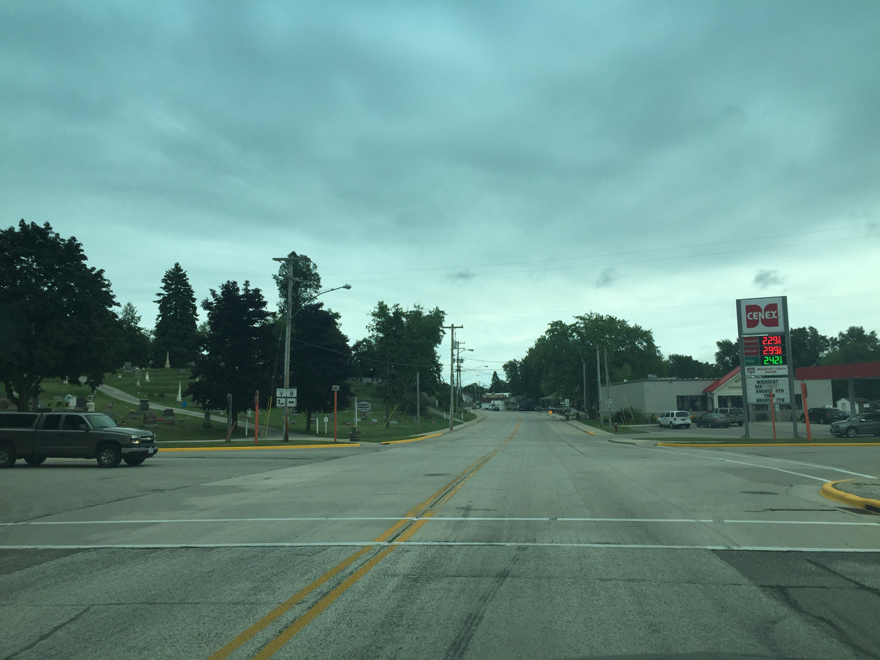
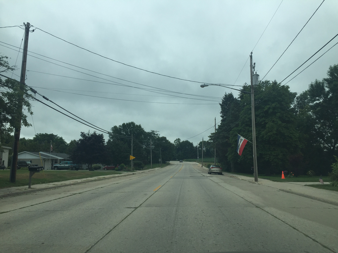
| Continuing though a residential area south of Church Street in Mishicot. 08/12/16 |
|
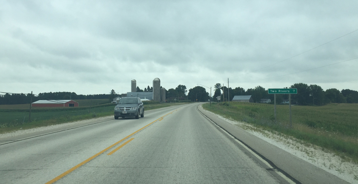
| Two Rivers lies seven miles south of this assembly preceding Samz Road in Mishicot. 08/12/16 |
|
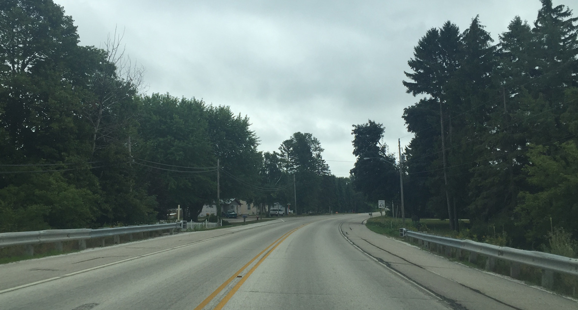
| Leaving Mishicot the chip seal surface returns 08/12/16 |
|
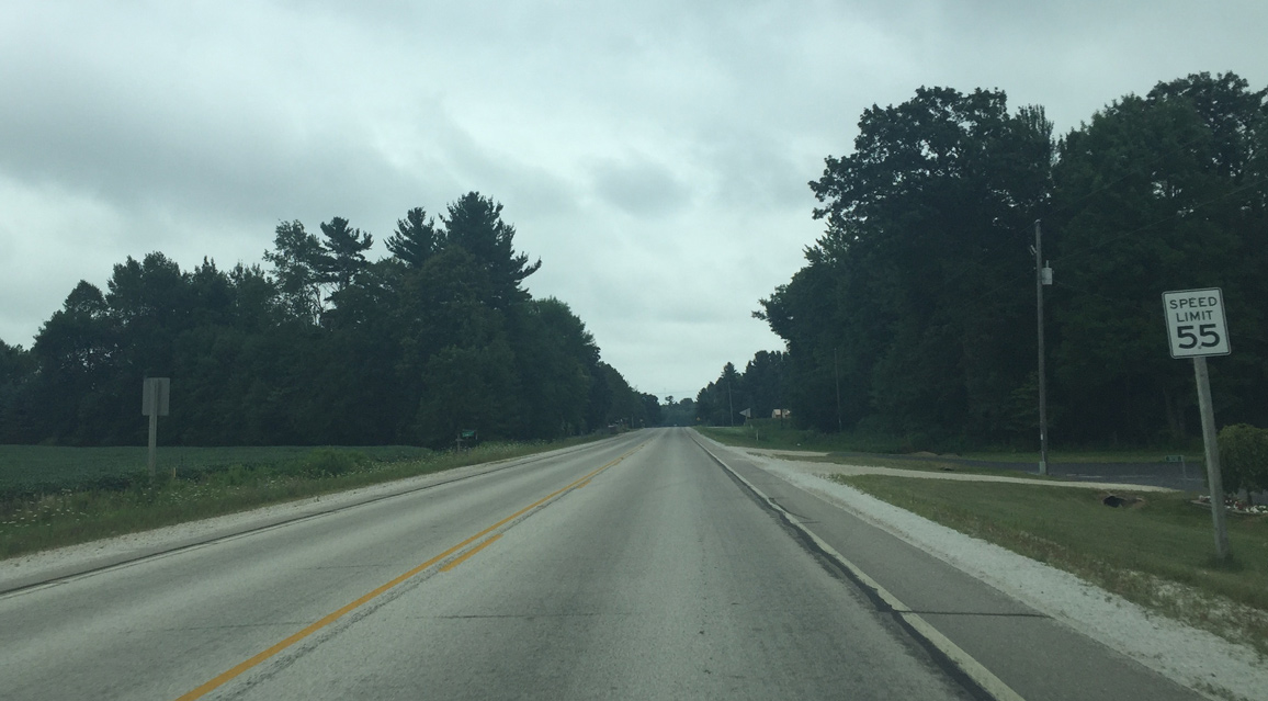
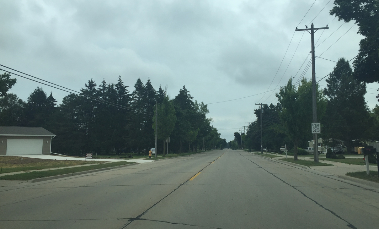
| Paralleling the East Twin River, Wis 147 progresses south from Fox Lane along an increasingly rural stretch with a 55 mile per hour speed limit. 08/12/16 |
|
| Approaching Two Rivers as the speed limit drops 08/12/16 |
|
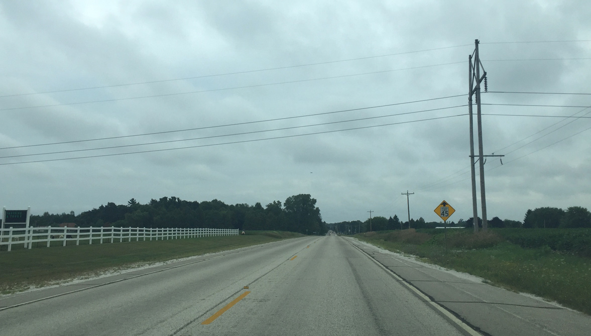
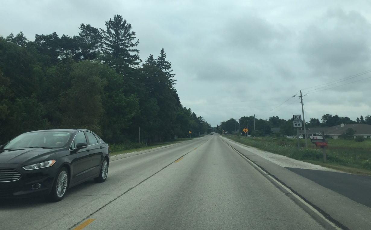
| Wis 147 reaches the Two Rivers city limits at upcoming CTH VV (45th Street). 08/12/16 |
|
| Providing a crossing over the East Twin River, County VV travels along the north end of Two Rivers east from County B at Shoto to Wis 42. 08/12/16 |
|
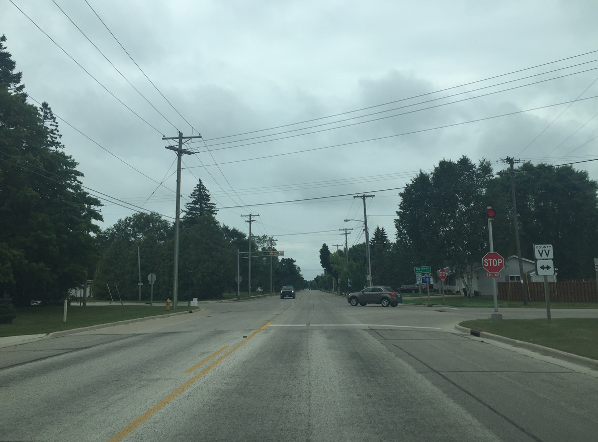
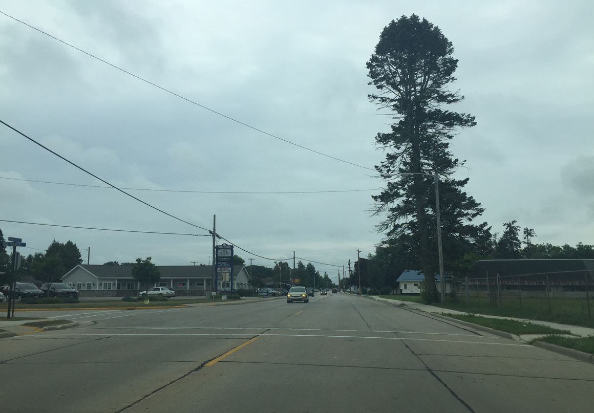
| Following Mishicot Road, STH 147 advances south from CTH VV (45th Street) through a residential area between the West and East Twin Rivers. 08/12/16 |
|
| Tannery Road intersection. Tannery Road is a minor arterial linking STH 147 (Forest Avenue) with CTH VV (45th Street). 08/12/16 |
|
| Reassurance marker southbound at 27th Street. 08/12/16 |
|
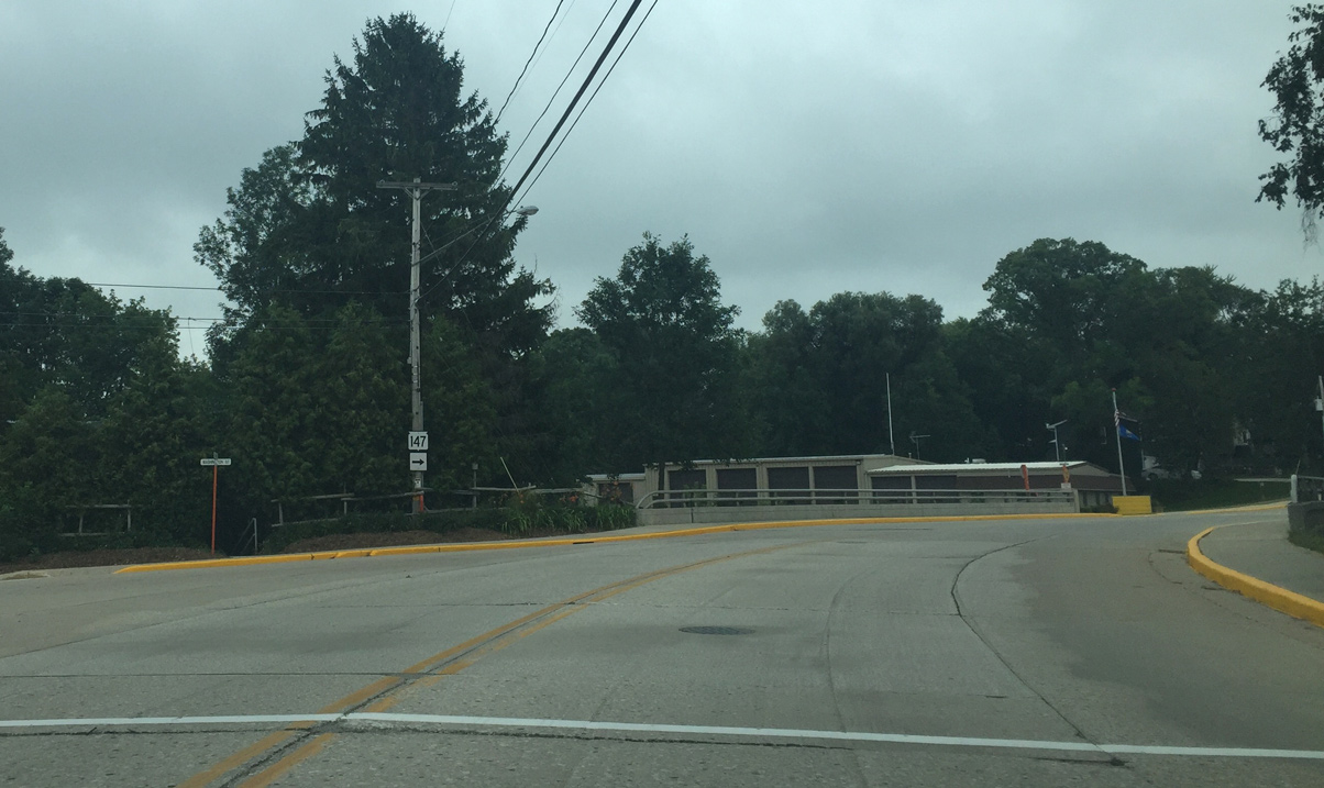
| Wis 147 turns east from Forest Avenue onto 22nd Street at the forthcoming intersection. 08/12/16 |
|
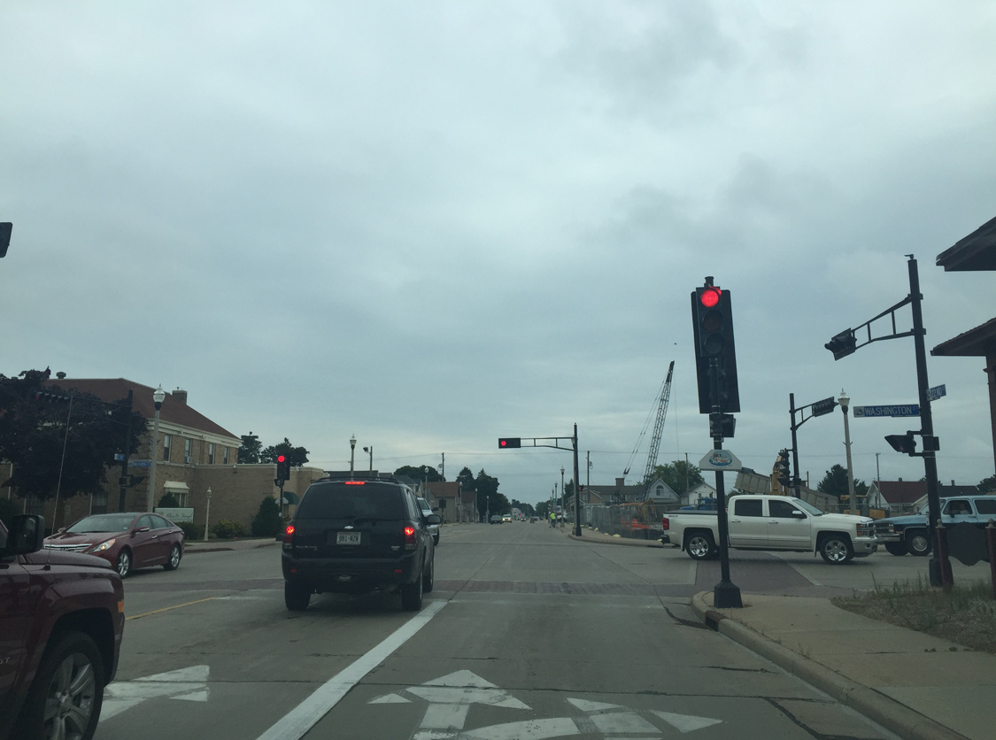
| Wis 147 follows 22nd Street east to Wis 42. Monroe Street stems south to 16th Street, providing a bypass of Downtown Two Rivers. 08/12/16 |
|
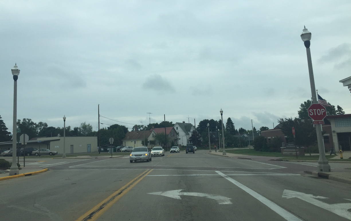
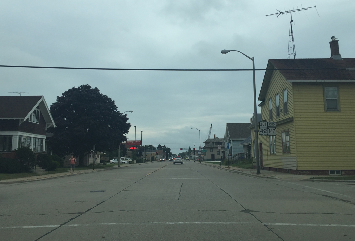
| Wis 147 ends at the turn of Wis 42 from Washington Street south onto 22nd Street east. 08/12/16 |
|
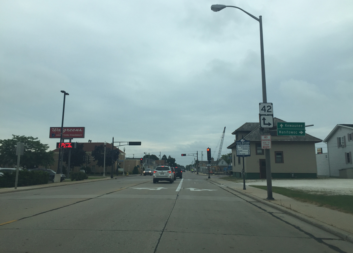
| State Trunk Highway 42 runs southwest from Two Rivers to Manitowoc and north to Kewaunee. 08/12/16 |
|
| Wis 42 overtakes 22nd Street east and crosses the East Twin River to Lincoln Avenue. Washington Street leads the state trunk highway south into Downtown. 08/12/16 |
Page Updated 10-30-2019.