
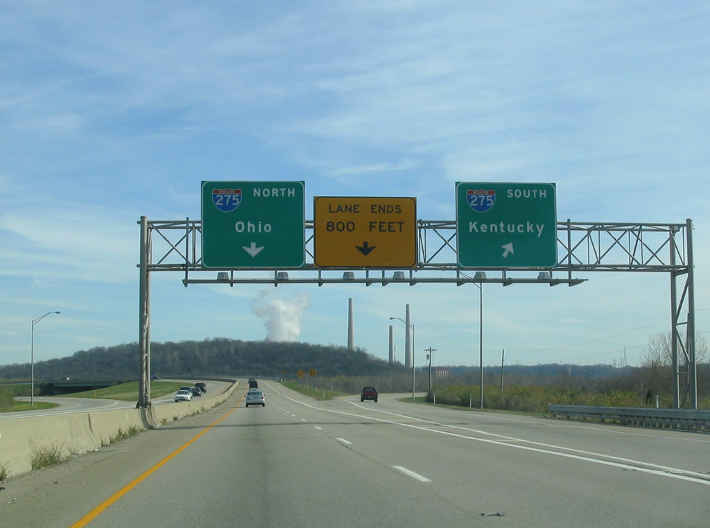
Interstate 275 (Donald C. Rolf Circle Freeway) arcs 3.29 miles west into Dearborn County in southeastern Indiana. Part of the beltway encircling Cincinnati, Ohio, I-275 connects with the cites of Greendale and Lawrenceburg. The Carroll Lee Cropper Bridge spans the Ohio River into northern Kentucky from the Hoosier State east of Lawrenceburg.
Interstate 275 Indiana Guides
 scenes scenes |
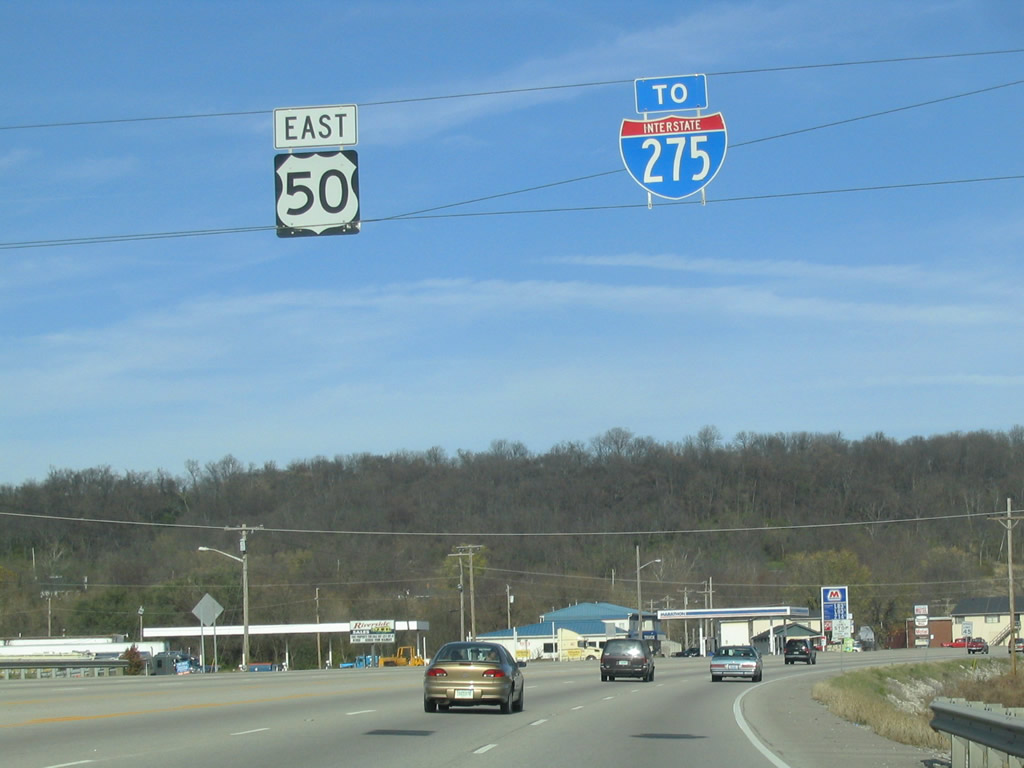 | U.S. 50 (Eads Parkway) east intersects the south end of SR 1 (Belleview Avenue) across from the ramps to Interstate 275 in Greendale. 11/14/04 |
 | A two lane turn lane connects U.S. 50 east from Lawrenceburg with Interstate 275. I-275 south heads toward Covington and Cincinnati/Northern Kentucky International Airport (CVG) while the beltway north to I-74 provides the most direct route to Cincinnati. 11/14/04 |
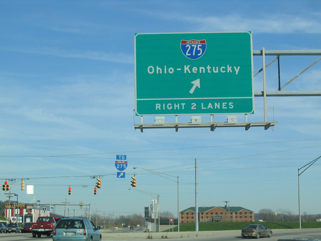
 | Heading east along the access road joining U.S. 50 (Eads Parkway) and SR 1 (Belleview Avenue) with the trumpet interchange at Exit 16. I-275 continues northeast nine miles to I-74. Southward the beltway enters Kentucky near Idlewild. 11/14/04 |
Photo Credits:
11/14/04 by Carter Buchanan
Connect with:
U.S. 50
Page Updated 01-19-2012.