|
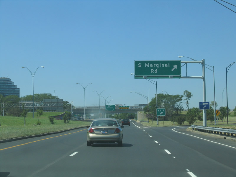
| N Marginal Road continues west from I-90 along SR 2 (Cleveland Memorial Shoreway) to Cleveland Burke Lakefront Airport (BKL). S Marginal Road leads west to the Lakefront Municipal Parking Lot. 08/11/06 |
|
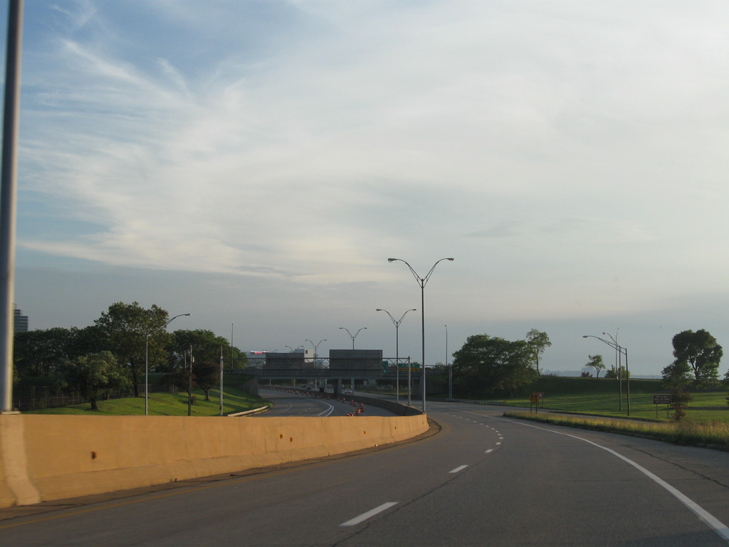
| A two lane loop ramp joins SR 2 (Cleveland Memorial Shoreway) from I-90 east along "Deadman's Curve" beyond Exit 196 to S Marginal Road. 06/14/10 |
|
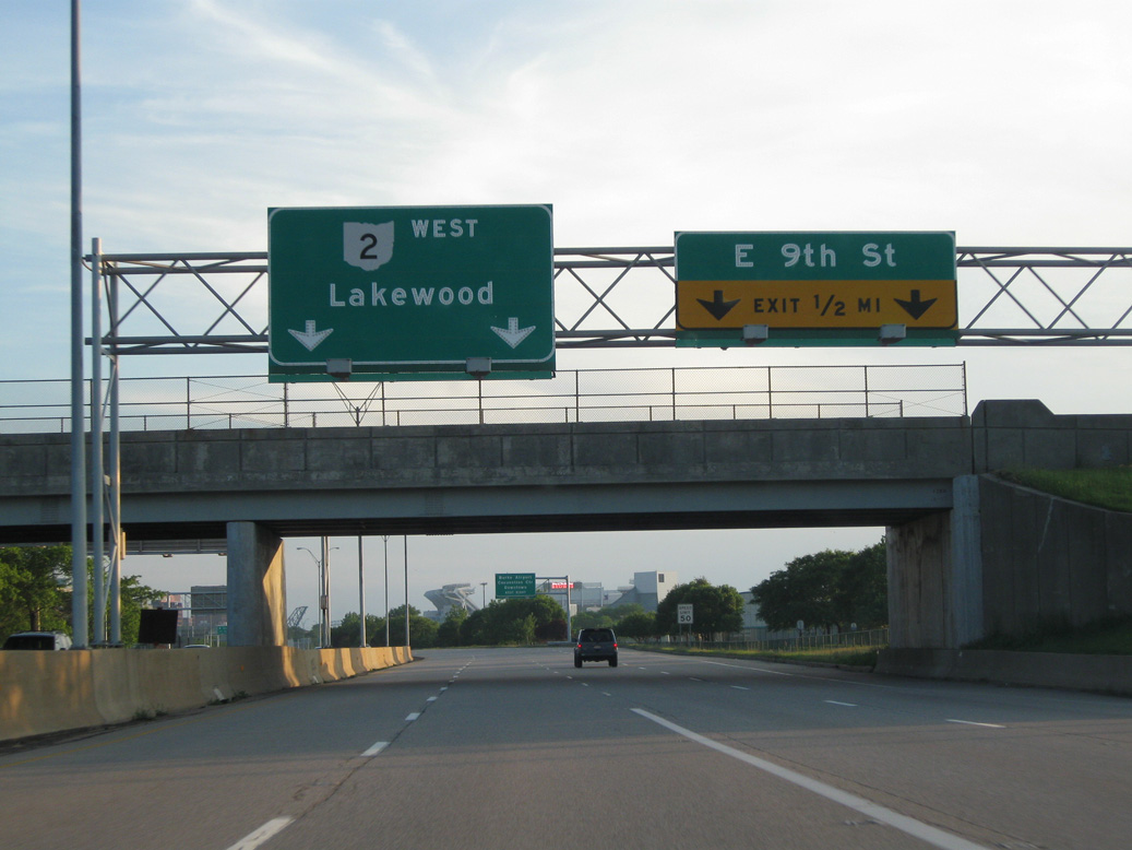
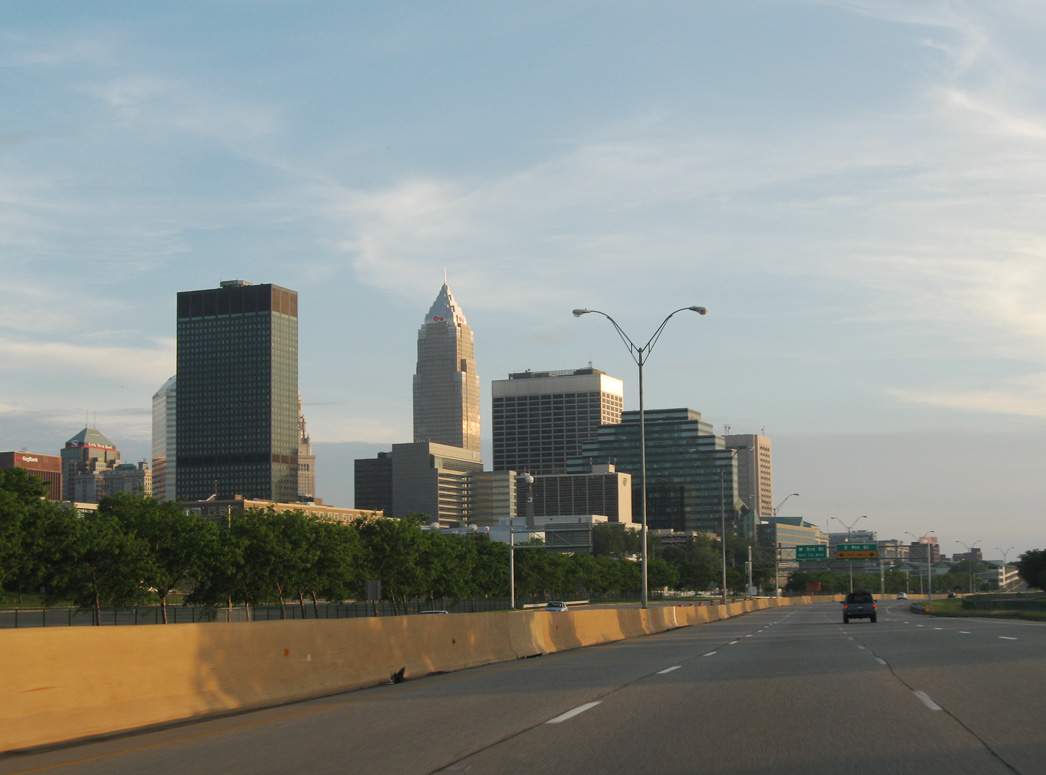
| Four lanes advance along SR 2 westbound from I-90 to the diamond interchange (Exit 195 A) with E 9th Street. 06/14/10 |
|
| E 9th Street leads south from the Rock & Roll Hall of Fame and N Marginal Road past Cleveland City Hall and Huntington Convention Center of Cleveland in Downtown Cleveland. 06/14/10 |
|
| The Cleveland Memorial Shoreway runs between the Marginal Road frontage roads, CSX/Norfolk Southern Railroads to the south and the waterfront of Lake Erie to the north. 06/14/10 |
|
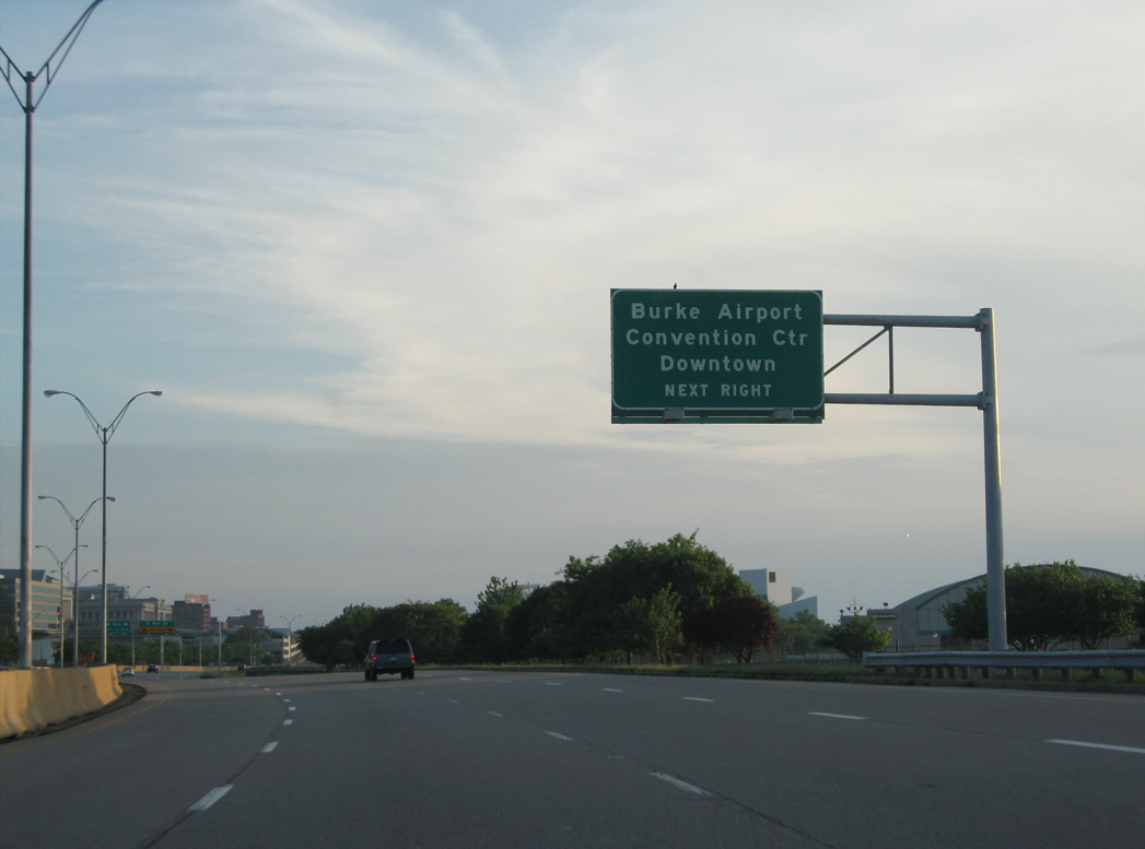
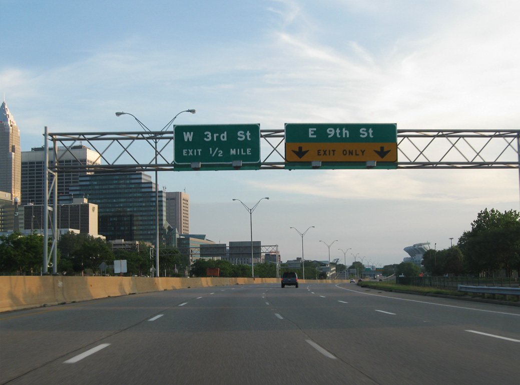
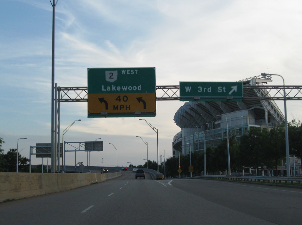
| Exit 195 B to W 3rd Street departs just after Exit 195 A. N Marginal Road ties into E 9th Street west from BKL Airport. Key Plaza extends the service road west to Great Lakes Science Center and Cleveland Browns Stadium. 06/14/10 |
|
| Cleveland Browns Stadium comes into view along SR 2 west. The stadium opened in 1999 after the NFL granted the city a replacement franchise for the Art Modell led theft of the original team to Baltimore. 06/14/10 |
|
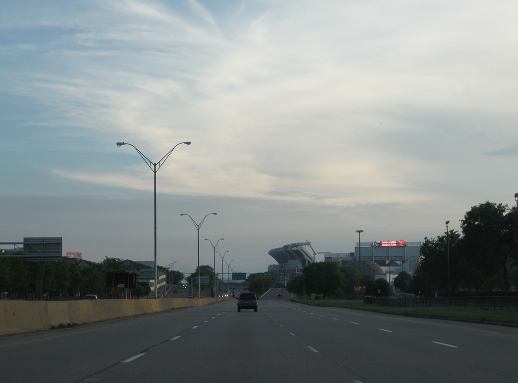
| E 9th Street extends to Voinovich Park along Lake Erie to the north and south 0.6 miles to U.S. 6/322 (Super Avenue) and U.S. 20 (Euclid Avenue). The succeeding exit joins Cleveland Memorial Shoreway westbound with Cleveland Browns Stadium more directly. 06/14/10 |
|
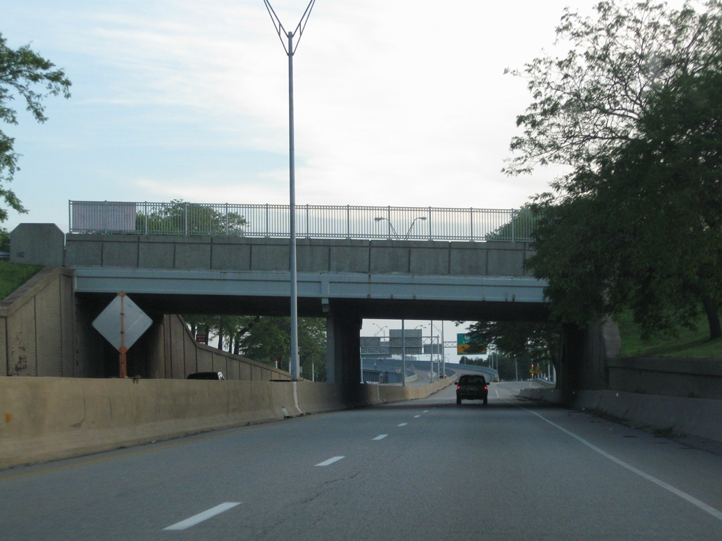
| Two lanes continue west along Cleveland Memorial Shoreway below the 9th Street overpass. 06/14/10 |
|
| W 3rd Street heads south from Erieside Avenue and Cleveland Browns Stadium to The Flats area northwest of Downtown. 06/14/10 |
|
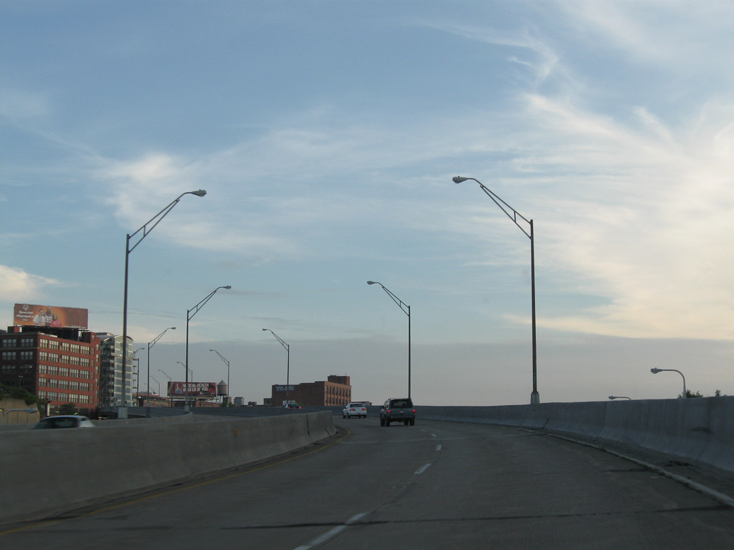
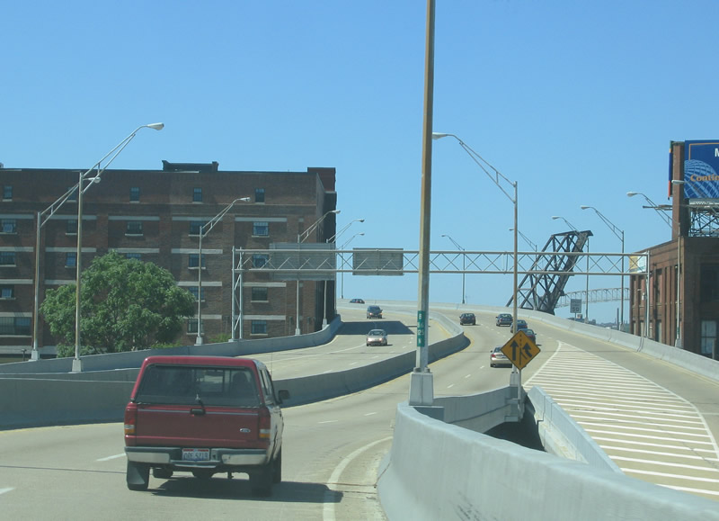
| Shifting south into The Flats, SR 2 (Cleveland Memorial Shoreway) ascends onto a viaduct spanning CSX, Norfolk Southern and AMTRAK lines. 06/14/10 |
|
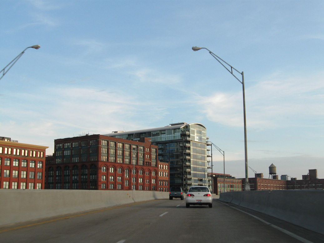
| Lakeside Place, the Stone Block Building and Pinnacle condominiums rise along Lakeside Avenue on the south side of Cleveland Memorial Shoreway. 06/14/10 |
|
| The Archer Apartments building lines the south side of SR 2 by the wye interchange with Lakeside Avenue. 06/14/10 |
|
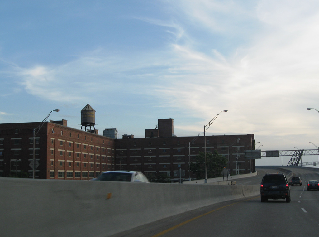
| The entrance ramp from Lakeside Avenue and Summit Street at The Flats rises onto Cleveland Memorial Shoreway above W 9th Street. 08/11/06 |
|
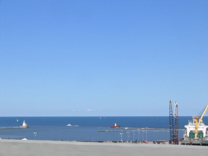
| The mouth of the Cuyahoga River, Lake Erie and the Historic Cleveland Coast Guard Station on Whiskey Island. 08/11/06 |
|
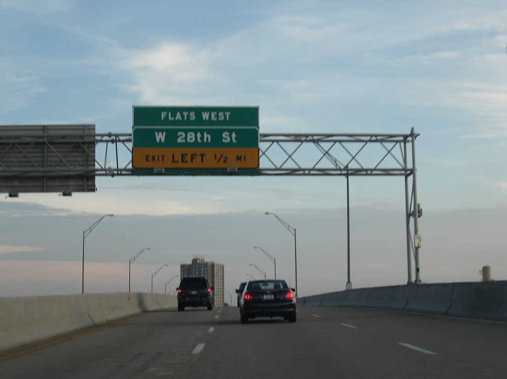
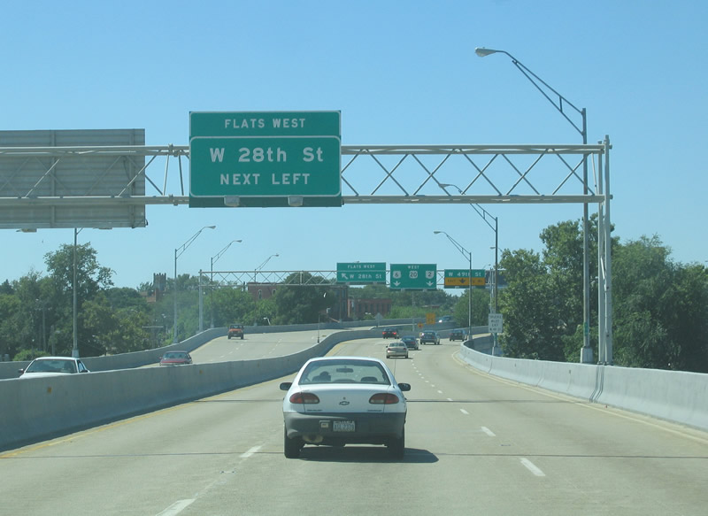
| Left Exit 194 departs from SR 2 (Cleveland Memorial Shoreway) in a half mile for W 28th Street and the Flats West area. 06/14/10 |
|
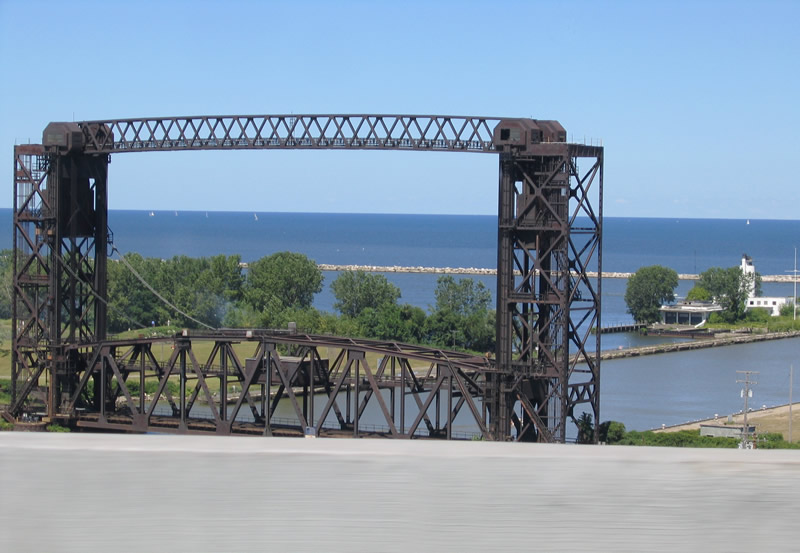
| A lift bridge along the Norfolk Southern Railroad spans the Cuyahoga River adjacent to Wendy Park between The Flats and Whiskey Island to the north. 08/11/06 |
|
| SR 2 crosses the Cuyahoga River into the West Flats, a former industrial area repurposed into a residential neighborhood with mixed-used development. 08/11/06 |
|
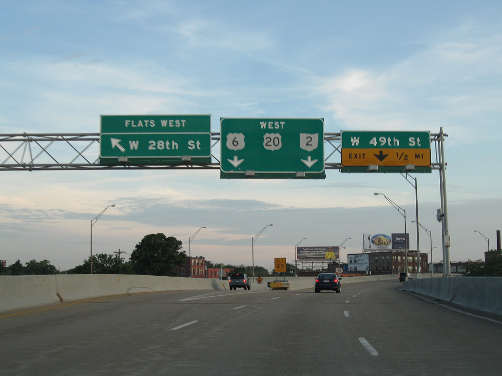
| Left Exit 194 lowers from Cleveland Memorial Shoreway to W 28th Street between Washington Avenue and Detroit Avenue (U.S. 6 ALT). U.S. 6/20 combine with SR 2 from W 25th Street below. 06/14/10 |
|
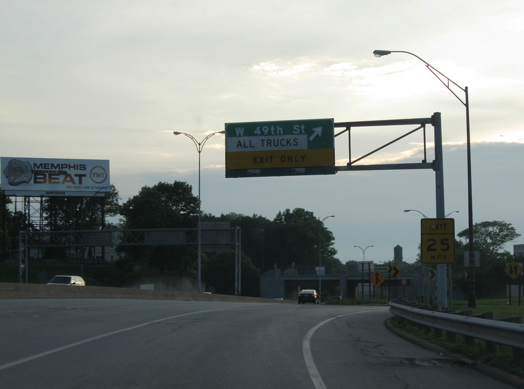
| U.S. 6/20-SR 2 (Cleveland Memorial Shoreway) transition into a limited access boulevard ahead of Exit 193 to W 49th Street at Herman Avenue. 06/14/10 |
|
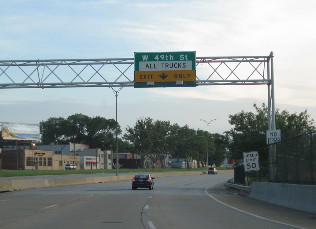
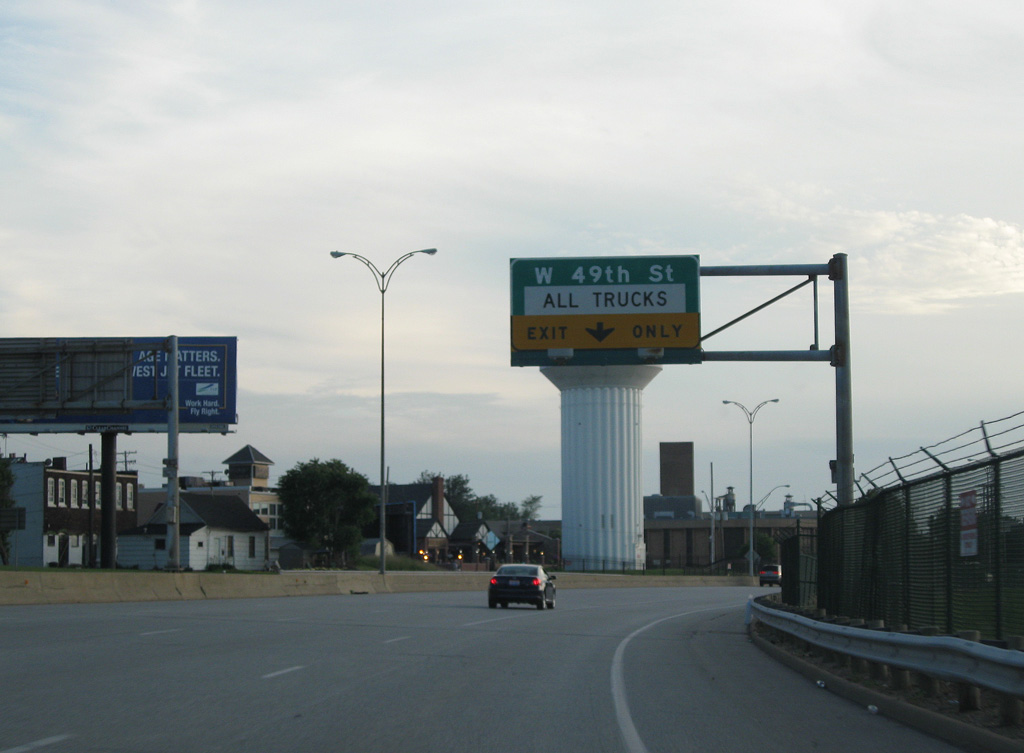
| Truck traffic along Cleveland Memorial Shoreway is restricted beyond Exit 193. Trucks are directed two blocks south to Detroit Avenue (U.S. 6 ALT). 06/14/10 |
|
| Exit 193 ties into W 45th Street from adjacent the Garrett A. Morgan Water Works Plant for Cleveland Water, The Great Lakes Towing Company and the Great Lakes Shipyard. 06/14/10 |
|
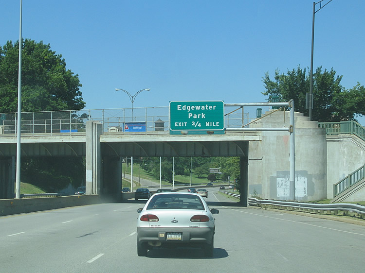
| U.S. 6/20-SR 2 (Cleveland Memorial Shoreway) advance 0.75 miles west to the exchange with Edgewater Park. 08/11/06 |
|
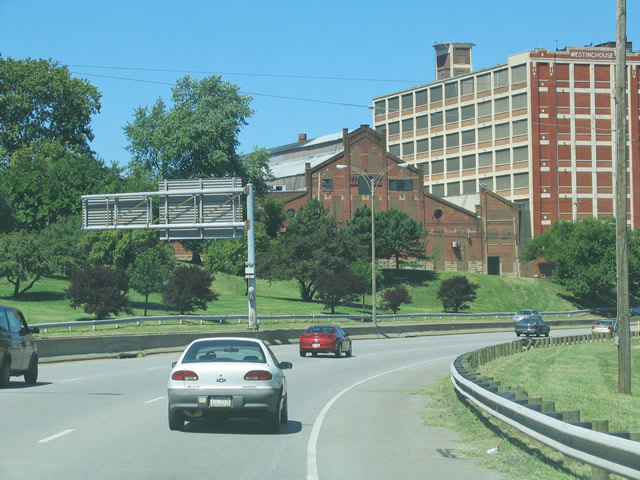
| Cleveland Memorial Shoreway makes an S-curve north by parkland adjacent to W 54th and W 58th Streets. 08/11/06 |
|
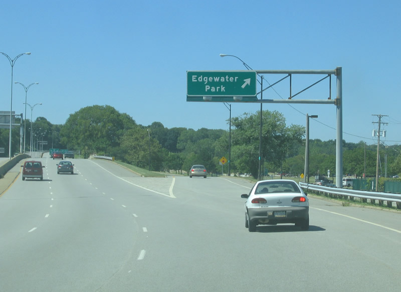
| Cleveland Memorial Shoreway turns westward below the Norfolk Southern Railroad to Edgewater Park by Edgewater Yacht Club along Lake Erie. 08/11/06 |
|
| Edgewater Park features a sandy beach, a pier, and a bicycle path. Whiskey Island Drive stems east from a nearby roundabout to Wendy Park on Whiskey Island. 08/11/06 |
Page Updated 03-25-2024.